Horas de salida y puesta de sol de Cedar Creek Township, AR, EE. UU.
Location: Estados Unidos > Arkansas > Condado de Crawford >
Zona horaria:
America/Chicago
Hora local:
2025-07-06 14:23:25
Longitud:
-94.2948884
Latitud:
35.6425099
Salida de sol de hoy:
06:08:30 AM
Puesta de sol de hoy:
08:35:59 PM
La duración del día hoy:
14h 27m 29s
Salida de sol de mañana:
06:09:04 AM
Puesta de sol de mañana:
08:35:44 PM
La duración del día mañana:
14h 26m 40s
Mostrar todas las fechas
| Fecha | Salida de sol | Puesta de sol | Duración del día |
|---|---|---|---|
| 01/01/2025 | 07:26:57 AM | 05:15:43 PM | 9h 48m 46s |
| 02/01/2025 | 07:27:04 AM | 05:16:31 PM | 9h 49m 27s |
| 03/01/2025 | 07:27:09 AM | 05:17:20 PM | 9h 50m 11s |
| 04/01/2025 | 07:27:12 AM | 05:18:10 PM | 9h 50m 58s |
| 05/01/2025 | 07:27:14 AM | 05:19:02 PM | 9h 51m 48s |
| 06/01/2025 | 07:27:13 AM | 05:19:54 PM | 9h 52m 41s |
| 07/01/2025 | 07:27:10 AM | 05:20:47 PM | 9h 53m 37s |
| 08/01/2025 | 07:27:06 AM | 05:21:41 PM | 9h 54m 35s |
| 09/01/2025 | 07:26:59 AM | 05:22:36 PM | 9h 55m 37s |
| 10/01/2025 | 07:26:51 AM | 05:23:32 PM | 9h 56m 41s |
| 11/01/2025 | 07:26:41 AM | 05:24:29 PM | 9h 57m 48s |
| 12/01/2025 | 07:26:28 AM | 05:25:26 PM | 9h 58m 58s |
| 13/01/2025 | 07:26:14 AM | 05:26:24 PM | 10h 0m 10s |
| 14/01/2025 | 07:25:58 AM | 05:27:22 PM | 10h 1m 24s |
| 15/01/2025 | 07:25:40 AM | 05:28:22 PM | 10h 2m 42s |
| 16/01/2025 | 07:25:20 AM | 05:29:21 PM | 10h 4m 1s |
| 17/01/2025 | 07:24:58 AM | 05:30:21 PM | 10h 5m 23s |
| 18/01/2025 | 07:24:34 AM | 05:31:22 PM | 10h 6m 48s |
| 19/01/2025 | 07:24:09 AM | 05:32:22 PM | 10h 8m 13s |
| 20/01/2025 | 07:23:41 AM | 05:33:24 PM | 10h 9m 43s |
| 21/01/2025 | 07:23:12 AM | 05:34:25 PM | 10h 11m 13s |
| 22/01/2025 | 07:22:41 AM | 05:35:27 PM | 10h 12m 46s |
| 23/01/2025 | 07:22:08 AM | 05:36:29 PM | 10h 14m 21s |
| 24/01/2025 | 07:21:33 AM | 05:37:31 PM | 10h 15m 58s |
| 25/01/2025 | 07:20:57 AM | 05:38:33 PM | 10h 17m 36s |
| 26/01/2025 | 07:20:19 AM | 05:39:35 PM | 10h 19m 16s |
| 27/01/2025 | 07:19:39 AM | 05:40:38 PM | 10h 20m 59s |
| 28/01/2025 | 07:18:58 AM | 05:41:40 PM | 10h 22m 42s |
| 29/01/2025 | 07:18:15 AM | 05:42:43 PM | 10h 24m 28s |
| 30/01/2025 | 07:17:30 AM | 05:43:45 PM | 10h 26m 15s |
| 31/01/2025 | 07:16:44 AM | 05:44:48 PM | 10h 28m 4s |
| 01/02/2025 | 07:15:56 AM | 05:45:50 PM | 10h 29m 54s |
| 02/02/2025 | 07:15:07 AM | 05:46:52 PM | 10h 31m 45s |
| 03/02/2025 | 07:14:16 AM | 05:47:54 PM | 10h 33m 38s |
| 04/02/2025 | 07:13:23 AM | 05:48:56 PM | 10h 35m 33s |
| 05/02/2025 | 07:12:30 AM | 05:49:58 PM | 10h 37m 28s |
| 06/02/2025 | 07:11:35 AM | 05:50:59 PM | 10h 39m 24s |
| 07/02/2025 | 07:10:38 AM | 05:52:01 PM | 10h 41m 23s |
| 08/02/2025 | 07:09:40 AM | 05:53:02 PM | 10h 43m 22s |
| 09/02/2025 | 07:08:41 AM | 05:54:03 PM | 10h 45m 22s |
| 10/02/2025 | 07:07:41 AM | 05:55:04 PM | 10h 47m 23s |
| 11/02/2025 | 07:06:39 AM | 05:56:04 PM | 10h 49m 25s |
| 12/02/2025 | 07:05:36 AM | 05:57:04 PM | 10h 51m 28s |
| 13/02/2025 | 07:04:32 AM | 05:58:04 PM | 10h 53m 32s |
| 14/02/2025 | 07:03:26 AM | 05:59:03 PM | 10h 55m 37s |
| 15/02/2025 | 07:02:20 AM | 06:00:03 PM | 10h 57m 43s |
| 16/02/2025 | 07:01:13 AM | 06:01:01 PM | 10h 59m 48s |
| 17/02/2025 | 07:00:04 AM | 06:02:00 PM | 11h 1m 56s |
| 18/02/2025 | 06:58:54 AM | 06:02:58 PM | 11h 4m 4s |
| 19/02/2025 | 06:57:44 AM | 06:03:56 PM | 11h 6m 12s |
| 20/02/2025 | 06:56:32 AM | 06:04:54 PM | 11h 8m 22s |
| 21/02/2025 | 06:55:20 AM | 06:05:51 PM | 11h 10m 31s |
| 22/02/2025 | 06:54:06 AM | 06:06:48 PM | 11h 12m 42s |
| 23/02/2025 | 06:52:52 AM | 06:07:44 PM | 11h 14m 52s |
| 24/02/2025 | 06:51:37 AM | 06:08:41 PM | 11h 17m 4s |
| 25/02/2025 | 06:50:21 AM | 06:09:37 PM | 11h 19m 16s |
| 26/02/2025 | 06:49:05 AM | 06:10:32 PM | 11h 21m 27s |
| 27/02/2025 | 06:47:47 AM | 06:11:27 PM | 11h 23m 40s |
| 28/02/2025 | 06:46:29 AM | 06:12:22 PM | 11h 25m 53s |
| 01/03/2025 | 06:45:10 AM | 06:13:17 PM | 11h 28m 7s |
| 02/03/2025 | 06:43:51 AM | 06:14:11 PM | 11h 30m 20s |
| 03/03/2025 | 06:42:31 AM | 06:15:05 PM | 11h 32m 34s |
| 04/03/2025 | 06:41:10 AM | 06:15:59 PM | 11h 34m 49s |
| 05/03/2025 | 06:39:49 AM | 06:16:52 PM | 11h 37m 3s |
| 06/03/2025 | 06:38:27 AM | 06:17:45 PM | 11h 39m 18s |
| 07/03/2025 | 06:37:05 AM | 06:18:38 PM | 11h 41m 33s |
| 08/03/2025 | 06:35:43 AM | 06:19:31 PM | 11h 43m 48s |
| 09/03/2025 | 07:34:23 AM | 07:20:21 PM | 11h 45m 58s |
| 10/03/2025 | 07:32:59 AM | 07:21:13 PM | 11h 48m 14s |
| 11/03/2025 | 07:31:36 AM | 07:22:05 PM | 11h 50m 29s |
| 12/03/2025 | 07:30:11 AM | 07:22:57 PM | 11h 52m 46s |
| 13/03/2025 | 07:28:47 AM | 07:23:48 PM | 11h 55m 1s |
| 14/03/2025 | 07:27:22 AM | 07:24:39 PM | 11h 57m 17s |
| 15/03/2025 | 07:25:57 AM | 07:25:30 PM | 11h 59m 33s |
| 16/03/2025 | 07:24:32 AM | 07:26:21 PM | 12h 1m 49s |
| 17/03/2025 | 07:23:07 AM | 07:27:12 PM | 12h 4m 5s |
| 18/03/2025 | 07:21:41 AM | 07:28:02 PM | 12h 6m 21s |
| 19/03/2025 | 07:20:15 AM | 07:28:52 PM | 12h 8m 37s |
| 20/03/2025 | 07:18:50 AM | 07:29:43 PM | 12h 10m 53s |
| 21/03/2025 | 07:17:24 AM | 07:30:33 PM | 12h 13m 9s |
| 22/03/2025 | 07:15:58 AM | 07:31:23 PM | 12h 15m 25s |
| 23/03/2025 | 07:14:32 AM | 07:32:12 PM | 12h 17m 40s |
| 24/03/2025 | 07:13:06 AM | 07:33:02 PM | 12h 19m 56s |
| 25/03/2025 | 07:11:40 AM | 07:33:52 PM | 12h 22m 12s |
| 26/03/2025 | 07:10:14 AM | 07:34:41 PM | 12h 24m 27s |
| 27/03/2025 | 07:08:49 AM | 07:35:31 PM | 12h 26m 42s |
| 28/03/2025 | 07:07:23 AM | 07:36:20 PM | 12h 28m 57s |
| 29/03/2025 | 07:05:58 AM | 07:37:10 PM | 12h 31m 12s |
| 30/03/2025 | 07:04:33 AM | 07:37:59 PM | 12h 33m 26s |
| 31/03/2025 | 07:03:08 AM | 07:38:48 PM | 12h 35m 40s |
| 01/04/2025 | 07:01:43 AM | 07:39:38 PM | 12h 37m 55s |
| 02/04/2025 | 07:00:18 AM | 07:40:27 PM | 12h 40m 9s |
| 03/04/2025 | 06:58:54 AM | 07:41:16 PM | 12h 42m 22s |
| 04/04/2025 | 06:57:31 AM | 07:42:06 PM | 12h 44m 35s |
| 05/04/2025 | 06:56:07 AM | 07:42:55 PM | 12h 46m 48s |
| 06/04/2025 | 06:54:44 AM | 07:43:44 PM | 12h 49m 0s |
| 07/04/2025 | 06:53:22 AM | 07:44:34 PM | 12h 51m 12s |
| 08/04/2025 | 06:51:59 AM | 07:45:23 PM | 12h 53m 24s |
| 09/04/2025 | 06:50:38 AM | 07:46:13 PM | 12h 55m 35s |
| 10/04/2025 | 06:49:17 AM | 07:47:02 PM | 12h 57m 45s |
| 11/04/2025 | 06:47:56 AM | 07:47:52 PM | 12h 59m 56s |
| 12/04/2025 | 06:46:36 AM | 07:48:41 PM | 13h 2m 5s |
| 13/04/2025 | 06:45:17 AM | 07:49:31 PM | 13h 4m 14s |
| 14/04/2025 | 06:43:58 AM | 07:50:21 PM | 13h 6m 23s |
| 15/04/2025 | 06:42:40 AM | 07:51:10 PM | 13h 8m 30s |
| 16/04/2025 | 06:41:23 AM | 07:52:00 PM | 13h 10m 37s |
| 17/04/2025 | 06:40:06 AM | 07:52:50 PM | 13h 12m 44s |
| 18/04/2025 | 06:38:50 AM | 07:53:40 PM | 13h 14m 50s |
| 19/04/2025 | 06:37:35 AM | 07:54:30 PM | 13h 16m 55s |
| 20/04/2025 | 06:36:20 AM | 07:55:20 PM | 13h 19m 0s |
| 21/04/2025 | 06:35:07 AM | 07:56:10 PM | 13h 21m 3s |
| 22/04/2025 | 06:33:54 AM | 07:57:00 PM | 13h 23m 6s |
| 23/04/2025 | 06:32:43 AM | 07:57:51 PM | 13h 25m 8s |
| 24/04/2025 | 06:31:32 AM | 07:58:41 PM | 13h 27m 9s |
| 25/04/2025 | 06:30:22 AM | 07:59:31 PM | 13h 29m 9s |
| 26/04/2025 | 06:29:13 AM | 08:00:21 PM | 13h 31m 8s |
| 27/04/2025 | 06:28:05 AM | 08:01:12 PM | 13h 33m 7s |
| 28/04/2025 | 06:26:58 AM | 08:02:02 PM | 13h 35m 4s |
| 29/04/2025 | 06:25:52 AM | 08:02:52 PM | 13h 37m 0s |
| 30/04/2025 | 06:24:48 AM | 08:03:42 PM | 13h 38m 54s |
| 01/05/2025 | 06:23:44 AM | 08:04:33 PM | 13h 40m 49s |
| 02/05/2025 | 06:22:41 AM | 08:05:23 PM | 13h 42m 42s |
| 03/05/2025 | 06:21:40 AM | 08:06:13 PM | 13h 44m 33s |
| 04/05/2025 | 06:20:40 AM | 08:07:03 PM | 13h 46m 23s |
| 05/05/2025 | 06:19:41 AM | 08:07:53 PM | 13h 48m 12s |
| 06/05/2025 | 06:18:44 AM | 08:08:43 PM | 13h 49m 59s |
| 07/05/2025 | 06:17:47 AM | 08:09:32 PM | 13h 51m 45s |
| 08/05/2025 | 06:16:52 AM | 08:10:22 PM | 13h 53m 30s |
| 09/05/2025 | 06:15:59 AM | 08:11:11 PM | 13h 55m 12s |
| 10/05/2025 | 06:15:06 AM | 08:12:00 PM | 13h 56m 54s |
| 11/05/2025 | 06:14:15 AM | 08:12:49 PM | 13h 58m 34s |
| 12/05/2025 | 06:13:26 AM | 08:13:38 PM | 14h 0m 12s |
| 13/05/2025 | 06:12:37 AM | 08:14:26 PM | 14h 1m 49s |
| 14/05/2025 | 06:11:51 AM | 08:15:14 PM | 14h 3m 23s |
| 15/05/2025 | 06:11:05 AM | 08:16:02 PM | 14h 4m 57s |
| 16/05/2025 | 06:10:22 AM | 08:16:49 PM | 14h 6m 27s |
| 17/05/2025 | 06:09:39 AM | 08:17:36 PM | 14h 7m 57s |
| 18/05/2025 | 06:08:59 AM | 08:18:23 PM | 14h 9m 24s |
| 19/05/2025 | 06:08:19 AM | 08:19:09 PM | 14h 10m 50s |
| 20/05/2025 | 06:07:42 AM | 08:19:54 PM | 14h 12m 12s |
| 21/05/2025 | 06:07:06 AM | 08:20:39 PM | 14h 13m 33s |
| 22/05/2025 | 06:06:31 AM | 08:21:24 PM | 14h 14m 53s |
| 23/05/2025 | 06:05:58 AM | 08:22:08 PM | 14h 16m 10s |
| 24/05/2025 | 06:05:27 AM | 08:22:51 PM | 14h 17m 24s |
| 25/05/2025 | 06:04:57 AM | 08:23:34 PM | 14h 18m 37s |
| 26/05/2025 | 06:04:29 AM | 08:24:16 PM | 14h 19m 47s |
| 27/05/2025 | 06:04:03 AM | 08:24:57 PM | 14h 20m 54s |
| 28/05/2025 | 06:03:38 AM | 08:25:38 PM | 14h 22m 0s |
| 29/05/2025 | 06:03:15 AM | 08:26:17 PM | 14h 23m 2s |
| 30/05/2025 | 06:02:54 AM | 08:26:56 PM | 14h 24m 2s |
| 31/05/2025 | 06:02:34 AM | 08:27:34 PM | 14h 25m 0s |
| 01/06/2025 | 06:02:16 AM | 08:28:11 PM | 14h 25m 55s |
| 02/06/2025 | 06:02:00 AM | 08:28:47 PM | 14h 26m 47s |
| 03/06/2025 | 06:01:45 AM | 08:29:23 PM | 14h 27m 38s |
| 04/06/2025 | 06:01:32 AM | 08:29:57 PM | 14h 28m 25s |
| 05/06/2025 | 06:01:21 AM | 08:30:30 PM | 14h 29m 9s |
| 06/06/2025 | 06:01:11 AM | 08:31:02 PM | 14h 29m 51s |
| 07/06/2025 | 06:01:03 AM | 08:31:33 PM | 14h 30m 30s |
| 08/06/2025 | 06:00:57 AM | 08:32:02 PM | 14h 31m 5s |
| 09/06/2025 | 06:00:53 AM | 08:32:31 PM | 14h 31m 38s |
| 10/06/2025 | 06:00:50 AM | 08:32:58 PM | 14h 32m 8s |
| 11/06/2025 | 06:00:49 AM | 08:33:24 PM | 14h 32m 35s |
| 12/06/2025 | 06:00:49 AM | 08:33:49 PM | 14h 33m 0s |
| 13/06/2025 | 06:00:51 AM | 08:34:12 PM | 14h 33m 21s |
| 14/06/2025 | 06:00:55 AM | 08:34:34 PM | 14h 33m 39s |
| 15/06/2025 | 06:01:00 AM | 08:34:55 PM | 14h 33m 55s |
| 16/06/2025 | 06:01:07 AM | 08:35:14 PM | 14h 34m 7s |
| 17/06/2025 | 06:01:15 AM | 08:35:32 PM | 14h 34m 17s |
| 18/06/2025 | 06:01:25 AM | 08:35:48 PM | 14h 34m 23s |
| 19/06/2025 | 06:01:36 AM | 08:36:03 PM | 14h 34m 27s |
| 20/06/2025 | 06:01:49 AM | 08:36:16 PM | 14h 34m 27s |
| 21/06/2025 | 06:02:03 AM | 08:36:28 PM | 14h 34m 25s |
| 22/06/2025 | 06:02:19 AM | 08:36:38 PM | 14h 34m 19s |
| 23/06/2025 | 06:02:36 AM | 08:36:47 PM | 14h 34m 11s |
| 24/06/2025 | 06:02:55 AM | 08:36:54 PM | 14h 33m 59s |
| 25/06/2025 | 06:03:15 AM | 08:36:59 PM | 14h 33m 44s |
| 26/06/2025 | 06:03:36 AM | 08:37:02 PM | 14h 33m 26s |
| 27/06/2025 | 06:03:59 AM | 08:37:05 PM | 14h 33m 6s |
| 28/06/2025 | 06:04:23 AM | 08:37:05 PM | 14h 32m 42s |
| 29/06/2025 | 06:04:48 AM | 08:37:03 PM | 14h 32m 15s |
| 30/06/2025 | 06:05:14 AM | 08:37:00 PM | 14h 31m 46s |
| 01/07/2025 | 06:05:41 AM | 08:36:56 PM | 14h 31m 15s |
| 02/07/2025 | 06:06:10 AM | 08:36:49 PM | 14h 30m 39s |
| 03/07/2025 | 06:06:40 AM | 08:36:41 PM | 14h 30m 1s |
| 04/07/2025 | 06:07:10 AM | 08:36:31 PM | 14h 29m 21s |
| 05/07/2025 | 06:07:42 AM | 08:36:20 PM | 14h 28m 38s |
| 06/07/2025 | 06:08:15 AM | 08:36:06 PM | 14h 27m 51s |
| 07/07/2025 | 06:08:48 AM | 08:35:51 PM | 14h 27m 3s |
| 08/07/2025 | 06:09:23 AM | 08:35:34 PM | 14h 26m 11s |
| 09/07/2025 | 06:09:58 AM | 08:35:16 PM | 14h 25m 18s |
| 10/07/2025 | 06:10:35 AM | 08:34:55 PM | 14h 24m 20s |
| 11/07/2025 | 06:11:12 AM | 08:34:34 PM | 14h 23m 22s |
| 12/07/2025 | 06:11:50 AM | 08:34:10 PM | 14h 22m 20s |
| 13/07/2025 | 06:12:28 AM | 08:33:44 PM | 14h 21m 16s |
| 14/07/2025 | 06:13:08 AM | 08:33:17 PM | 14h 20m 9s |
| 15/07/2025 | 06:13:48 AM | 08:32:49 PM | 14h 19m 1s |
| 16/07/2025 | 06:14:28 AM | 08:32:18 PM | 14h 17m 50s |
| 17/07/2025 | 06:15:10 AM | 08:31:46 PM | 14h 16m 36s |
| 18/07/2025 | 06:15:51 AM | 08:31:12 PM | 14h 15m 21s |
| 19/07/2025 | 06:16:34 AM | 08:30:37 PM | 14h 14m 3s |
| 20/07/2025 | 06:17:16 AM | 08:30:00 PM | 14h 12m 44s |
| 21/07/2025 | 06:18:00 AM | 08:29:21 PM | 14h 11m 21s |
| 22/07/2025 | 06:18:43 AM | 08:28:41 PM | 14h 9m 58s |
| 23/07/2025 | 06:19:27 AM | 08:27:59 PM | 14h 8m 32s |
| 24/07/2025 | 06:20:12 AM | 08:27:16 PM | 14h 7m 4s |
| 25/07/2025 | 06:20:57 AM | 08:26:31 PM | 14h 5m 34s |
| 26/07/2025 | 06:21:42 AM | 08:25:45 PM | 14h 4m 3s |
| 27/07/2025 | 06:22:27 AM | 08:24:57 PM | 14h 2m 30s |
| 28/07/2025 | 06:23:13 AM | 08:24:08 PM | 14h 0m 55s |
| 29/07/2025 | 06:23:59 AM | 08:23:17 PM | 13h 59m 18s |
| 30/07/2025 | 06:24:45 AM | 08:22:25 PM | 13h 57m 40s |
| 31/07/2025 | 06:25:31 AM | 08:21:31 PM | 13h 56m 0s |
| 01/08/2025 | 06:26:17 AM | 08:20:37 PM | 13h 54m 20s |
| 02/08/2025 | 06:27:04 AM | 08:19:40 PM | 13h 52m 36s |
| 03/08/2025 | 06:27:50 AM | 08:18:43 PM | 13h 50m 53s |
| 04/08/2025 | 06:28:37 AM | 08:17:44 PM | 13h 49m 7s |
| 05/08/2025 | 06:29:24 AM | 08:16:44 PM | 13h 47m 20s |
| 06/08/2025 | 06:30:11 AM | 08:15:42 PM | 13h 45m 31s |
| 07/08/2025 | 06:30:57 AM | 08:14:40 PM | 13h 43m 43s |
| 08/08/2025 | 06:31:44 AM | 08:13:36 PM | 13h 41m 52s |
| 09/08/2025 | 06:32:31 AM | 08:12:31 PM | 13h 40m 0s |
| 10/08/2025 | 06:33:18 AM | 08:11:25 PM | 13h 38m 7s |
| 11/08/2025 | 06:34:05 AM | 08:10:18 PM | 13h 36m 13s |
| 12/08/2025 | 06:34:52 AM | 08:09:09 PM | 13h 34m 17s |
| 13/08/2025 | 06:35:39 AM | 08:08:00 PM | 13h 32m 21s |
| 14/08/2025 | 06:36:26 AM | 08:06:50 PM | 13h 30m 24s |
| 15/08/2025 | 06:37:12 AM | 08:05:38 PM | 13h 28m 26s |
| 16/08/2025 | 06:37:59 AM | 08:04:26 PM | 13h 26m 27s |
| 17/08/2025 | 06:38:45 AM | 08:03:13 PM | 13h 24m 28s |
| 18/08/2025 | 06:39:32 AM | 08:01:59 PM | 13h 22m 27s |
| 19/08/2025 | 06:40:18 AM | 08:00:44 PM | 13h 20m 26s |
| 20/08/2025 | 06:41:05 AM | 07:59:28 PM | 13h 18m 23s |
| 21/08/2025 | 06:41:51 AM | 07:58:11 PM | 13h 16m 20s |
| 22/08/2025 | 06:42:37 AM | 07:56:53 PM | 13h 14m 16s |
| 23/08/2025 | 06:43:23 AM | 07:55:35 PM | 13h 12m 12s |
| 24/08/2025 | 06:44:09 AM | 07:54:16 PM | 13h 10m 7s |
| 25/08/2025 | 06:44:55 AM | 07:52:56 PM | 13h 8m 1s |
| 26/08/2025 | 06:45:41 AM | 07:51:36 PM | 13h 5m 55s |
| 27/08/2025 | 06:46:27 AM | 07:50:15 PM | 13h 3m 48s |
| 28/08/2025 | 06:47:12 AM | 07:48:53 PM | 13h 1m 41s |
| 29/08/2025 | 06:47:58 AM | 07:47:31 PM | 12h 59m 33s |
| 30/08/2025 | 06:48:43 AM | 07:46:08 PM | 12h 57m 25s |
| 31/08/2025 | 06:49:29 AM | 07:44:44 PM | 12h 55m 15s |
| 01/09/2025 | 06:50:14 AM | 07:43:20 PM | 12h 53m 6s |
| 02/09/2025 | 06:50:59 AM | 07:41:56 PM | 12h 50m 57s |
| 03/09/2025 | 06:51:44 AM | 07:40:31 PM | 12h 48m 47s |
| 04/09/2025 | 06:52:29 AM | 07:39:06 PM | 12h 46m 37s |
| 05/09/2025 | 06:53:15 AM | 07:37:40 PM | 12h 44m 25s |
| 06/09/2025 | 06:54:00 AM | 07:36:14 PM | 12h 42m 14s |
| 07/09/2025 | 06:54:45 AM | 07:34:48 PM | 12h 40m 3s |
| 08/09/2025 | 06:55:30 AM | 07:33:21 PM | 12h 37m 51s |
| 09/09/2025 | 06:56:15 AM | 07:31:54 PM | 12h 35m 39s |
| 10/09/2025 | 06:57:00 AM | 07:30:27 PM | 12h 33m 27s |
| 11/09/2025 | 06:57:45 AM | 07:28:59 PM | 12h 31m 14s |
| 12/09/2025 | 06:58:30 AM | 07:27:32 PM | 12h 29m 2s |
| 13/09/2025 | 06:59:15 AM | 07:26:04 PM | 12h 26m 49s |
| 14/09/2025 | 07:00:00 AM | 07:24:36 PM | 12h 24m 36s |
| 15/09/2025 | 07:00:45 AM | 07:23:08 PM | 12h 22m 23s |
| 16/09/2025 | 07:01:30 AM | 07:21:40 PM | 12h 20m 10s |
| 17/09/2025 | 07:02:16 AM | 07:20:11 PM | 12h 17m 55s |
| 18/09/2025 | 07:03:01 AM | 07:18:43 PM | 12h 15m 42s |
| 19/09/2025 | 07:03:47 AM | 07:17:15 PM | 12h 13m 28s |
| 20/09/2025 | 07:04:32 AM | 07:15:47 PM | 12h 11m 15s |
| 21/09/2025 | 07:05:18 AM | 07:14:19 PM | 12h 9m 1s |
| 22/09/2025 | 07:06:04 AM | 07:12:51 PM | 12h 6m 47s |
| 23/09/2025 | 07:06:50 AM | 07:11:23 PM | 12h 4m 33s |
| 24/09/2025 | 07:07:36 AM | 07:09:55 PM | 12h 2m 19s |
| 25/09/2025 | 07:08:23 AM | 07:08:27 PM | 12h 0m 4s |
| 26/09/2025 | 07:09:09 AM | 07:07:00 PM | 11h 57m 51s |
| 27/09/2025 | 07:09:56 AM | 07:05:33 PM | 11h 55m 37s |
| 28/09/2025 | 07:10:43 AM | 07:04:06 PM | 11h 53m 23s |
| 29/09/2025 | 07:11:30 AM | 07:02:39 PM | 11h 51m 9s |
| 30/09/2025 | 07:12:17 AM | 07:01:13 PM | 11h 48m 56s |
| 01/10/2025 | 07:13:05 AM | 06:59:47 PM | 11h 46m 42s |
| 02/10/2025 | 07:13:53 AM | 06:58:22 PM | 11h 44m 29s |
| 03/10/2025 | 07:14:41 AM | 06:56:57 PM | 11h 42m 16s |
| 04/10/2025 | 07:15:30 AM | 06:55:32 PM | 11h 40m 2s |
| 05/10/2025 | 07:16:18 AM | 06:54:08 PM | 11h 37m 50s |
| 06/10/2025 | 07:17:07 AM | 06:52:44 PM | 11h 35m 37s |
| 07/10/2025 | 07:17:57 AM | 06:51:21 PM | 11h 33m 24s |
| 08/10/2025 | 07:18:46 AM | 06:49:58 PM | 11h 31m 12s |
| 09/10/2025 | 07:19:36 AM | 06:48:36 PM | 11h 29m 0s |
| 10/10/2025 | 07:20:26 AM | 06:47:15 PM | 11h 26m 49s |
| 11/10/2025 | 07:21:17 AM | 06:45:54 PM | 11h 24m 37s |
| 12/10/2025 | 07:22:08 AM | 06:44:34 PM | 11h 22m 26s |
| 13/10/2025 | 07:22:59 AM | 06:43:15 PM | 11h 20m 16s |
| 14/10/2025 | 07:23:51 AM | 06:41:57 PM | 11h 18m 6s |
| 15/10/2025 | 07:24:43 AM | 06:40:39 PM | 11h 15m 56s |
| 16/10/2025 | 07:25:35 AM | 06:39:22 PM | 11h 13m 47s |
| 17/10/2025 | 07:26:28 AM | 06:38:06 PM | 11h 11m 38s |
| 18/10/2025 | 07:27:21 AM | 06:36:51 PM | 11h 9m 30s |
| 19/10/2025 | 07:28:14 AM | 06:35:36 PM | 11h 7m 22s |
| 20/10/2025 | 07:29:08 AM | 06:34:23 PM | 11h 5m 15s |
| 21/10/2025 | 07:30:02 AM | 06:33:11 PM | 11h 3m 9s |
| 22/10/2025 | 07:30:56 AM | 06:31:59 PM | 11h 1m 3s |
| 23/10/2025 | 07:31:51 AM | 06:30:49 PM | 10h 58m 58s |
| 24/10/2025 | 07:32:46 AM | 06:29:40 PM | 10h 56m 54s |
| 25/10/2025 | 07:33:42 AM | 06:28:32 PM | 10h 54m 50s |
| 26/10/2025 | 07:34:38 AM | 06:27:25 PM | 10h 52m 47s |
| 27/10/2025 | 07:35:34 AM | 06:26:19 PM | 10h 50m 45s |
| 28/10/2025 | 07:36:31 AM | 06:25:14 PM | 10h 48m 43s |
| 29/10/2025 | 07:37:27 AM | 06:24:11 PM | 10h 46m 44s |
| 30/10/2025 | 07:38:25 AM | 06:23:08 PM | 10h 44m 43s |
| 31/10/2025 | 07:39:22 AM | 06:22:08 PM | 10h 42m 46s |
| 01/11/2025 | 07:40:20 AM | 06:21:08 PM | 10h 40m 48s |
| 02/11/2025 | 06:41:20 AM | 05:20:07 PM | 10h 38m 47s |
| 03/11/2025 | 06:42:18 AM | 05:19:11 PM | 10h 36m 53s |
| 04/11/2025 | 06:43:17 AM | 05:18:15 PM | 10h 34m 58s |
| 05/11/2025 | 06:44:16 AM | 05:17:21 PM | 10h 33m 5s |
| 06/11/2025 | 06:45:15 AM | 05:16:29 PM | 10h 31m 14s |
| 07/11/2025 | 06:46:14 AM | 05:15:38 PM | 10h 29m 24s |
| 08/11/2025 | 06:47:13 AM | 05:14:49 PM | 10h 27m 36s |
| 09/11/2025 | 06:48:12 AM | 05:14:01 PM | 10h 25m 49s |
| 10/11/2025 | 06:49:12 AM | 05:13:15 PM | 10h 24m 3s |
| 11/11/2025 | 06:50:11 AM | 05:12:30 PM | 10h 22m 19s |
| 12/11/2025 | 06:51:11 AM | 05:11:47 PM | 10h 20m 36s |
| 13/11/2025 | 06:52:10 AM | 05:11:06 PM | 10h 18m 56s |
| 14/11/2025 | 06:53:10 AM | 05:10:26 PM | 10h 17m 16s |
| 15/11/2025 | 06:54:09 AM | 05:09:49 PM | 10h 15m 40s |
| 16/11/2025 | 06:55:09 AM | 05:09:12 PM | 10h 14m 3s |
| 17/11/2025 | 06:56:08 AM | 05:08:38 PM | 10h 12m 30s |
| 18/11/2025 | 06:57:07 AM | 05:08:06 PM | 10h 10m 59s |
| 19/11/2025 | 06:58:06 AM | 05:07:35 PM | 10h 9m 29s |
| 20/11/2025 | 06:59:05 AM | 05:07:06 PM | 10h 8m 1s |
| 21/11/2025 | 07:00:04 AM | 05:06:39 PM | 10h 6m 35s |
| 22/11/2025 | 07:01:02 AM | 05:06:14 PM | 10h 5m 12s |
| 23/11/2025 | 07:02:00 AM | 05:05:51 PM | 10h 3m 51s |
| 24/11/2025 | 07:02:57 AM | 05:05:30 PM | 10h 2m 33s |
| 25/11/2025 | 07:03:54 AM | 05:05:10 PM | 10h 1m 16s |
| 26/11/2025 | 07:04:51 AM | 05:04:53 PM | 10h 0m 2s |
| 27/11/2025 | 07:05:47 AM | 05:04:38 PM | 9h 58m 51s |
| 28/11/2025 | 07:06:42 AM | 05:04:24 PM | 9h 57m 42s |
| 29/11/2025 | 07:07:37 AM | 05:04:13 PM | 9h 56m 36s |
| 30/11/2025 | 07:08:31 AM | 05:04:03 PM | 9h 55m 32s |
| 01/12/2025 | 07:09:25 AM | 05:03:56 PM | 9h 54m 31s |
| 02/12/2025 | 07:10:17 AM | 05:03:50 PM | 9h 53m 33s |
| 03/12/2025 | 07:11:09 AM | 05:03:47 PM | 9h 52m 38s |
| 04/12/2025 | 07:12:00 AM | 05:03:45 PM | 9h 51m 45s |
| 05/12/2025 | 07:12:50 AM | 05:03:45 PM | 9h 50m 55s |
| 06/12/2025 | 07:13:39 AM | 05:03:48 PM | 9h 50m 9s |
| 07/12/2025 | 07:14:28 AM | 05:03:52 PM | 9h 49m 24s |
| 08/12/2025 | 07:15:15 AM | 05:03:59 PM | 9h 48m 44s |
| 09/12/2025 | 07:16:01 AM | 05:04:07 PM | 9h 48m 6s |
| 10/12/2025 | 07:16:45 AM | 05:04:17 PM | 9h 47m 32s |
| 11/12/2025 | 07:17:29 AM | 05:04:30 PM | 9h 47m 1s |
| 12/12/2025 | 07:18:11 AM | 05:04:44 PM | 9h 46m 33s |
| 13/12/2025 | 07:18:52 AM | 05:05:00 PM | 9h 46m 8s |
| 14/12/2025 | 07:19:32 AM | 05:05:18 PM | 9h 45m 46s |
| 15/12/2025 | 07:20:10 AM | 05:05:38 PM | 9h 45m 28s |
| 16/12/2025 | 07:20:47 AM | 05:05:59 PM | 9h 45m 12s |
| 17/12/2025 | 07:21:23 AM | 05:06:23 PM | 9h 45m 0s |
| 18/12/2025 | 07:21:57 AM | 05:06:48 PM | 9h 44m 51s |
| 19/12/2025 | 07:22:29 AM | 05:07:15 PM | 9h 44m 46s |
| 20/12/2025 | 07:23:00 AM | 05:07:44 PM | 9h 44m 44s |
| 21/12/2025 | 07:23:29 AM | 05:08:15 PM | 9h 44m 46s |
| 22/12/2025 | 07:23:57 AM | 05:08:47 PM | 9h 44m 50s |
| 23/12/2025 | 07:24:22 AM | 05:09:20 PM | 9h 44m 58s |
| 24/12/2025 | 07:24:46 AM | 05:09:56 PM | 9h 45m 10s |
| 25/12/2025 | 07:25:09 AM | 05:10:33 PM | 9h 45m 24s |
| 26/12/2025 | 07:25:29 AM | 05:11:11 PM | 9h 45m 42s |
| 27/12/2025 | 07:25:48 AM | 05:11:51 PM | 9h 46m 3s |
| 28/12/2025 | 07:26:05 AM | 05:12:32 PM | 9h 46m 27s |
| 29/12/2025 | 07:26:20 AM | 05:13:15 PM | 9h 46m 55s |
| 30/12/2025 | 07:26:34 AM | 05:13:59 PM | 9h 47m 25s |
| 31/12/2025 | 07:26:45 AM | 05:14:45 PM | 9h 48m 0s |
Fotos
Devil's Den State Park

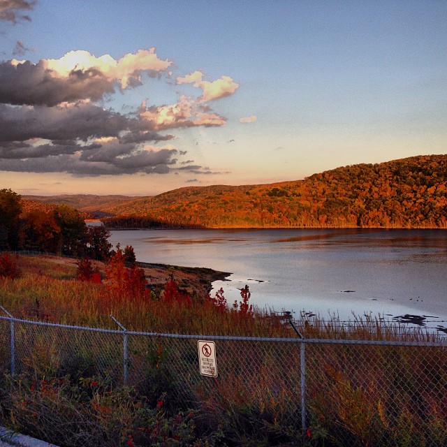
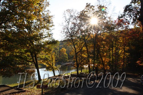
Lake Ft. Smith
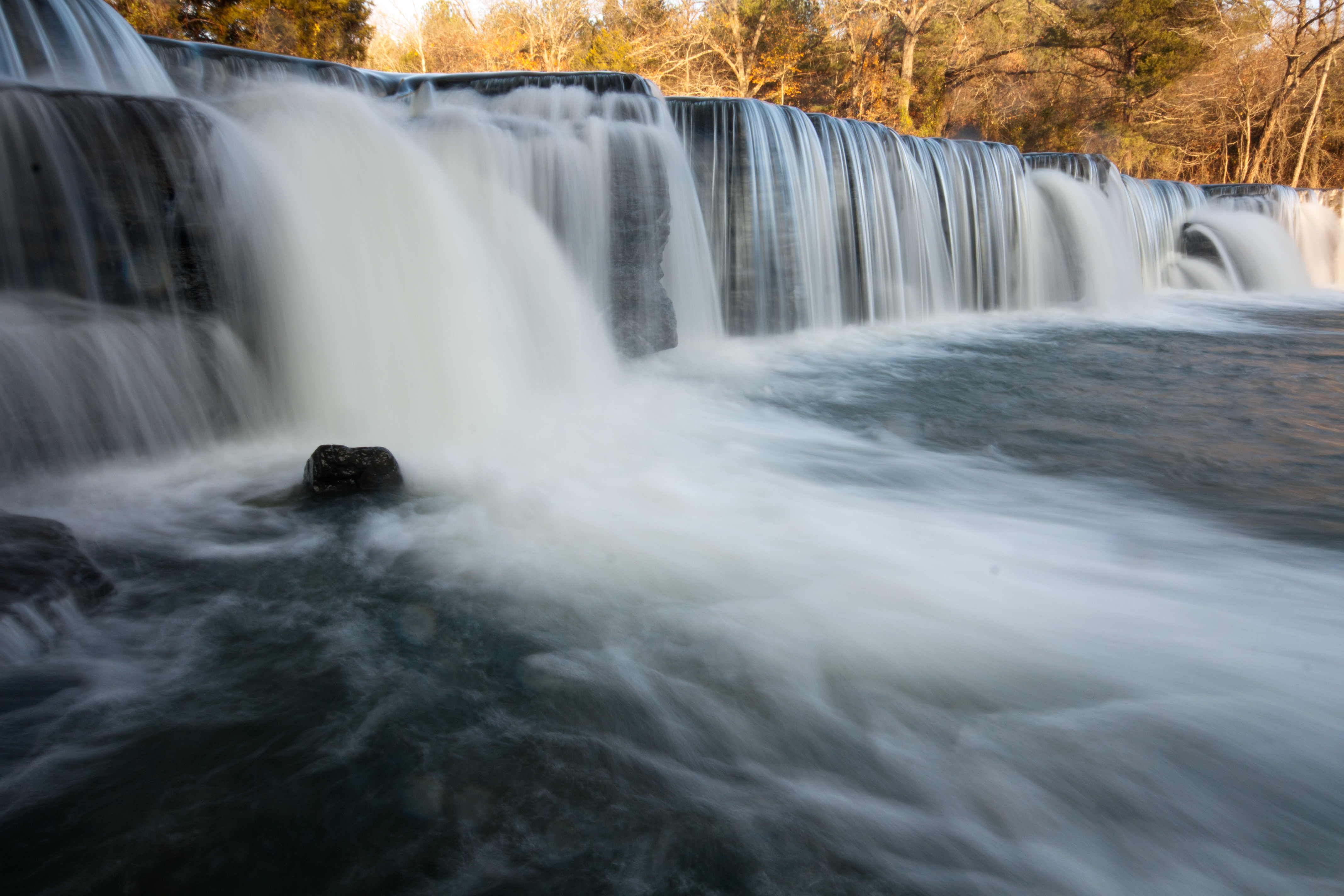
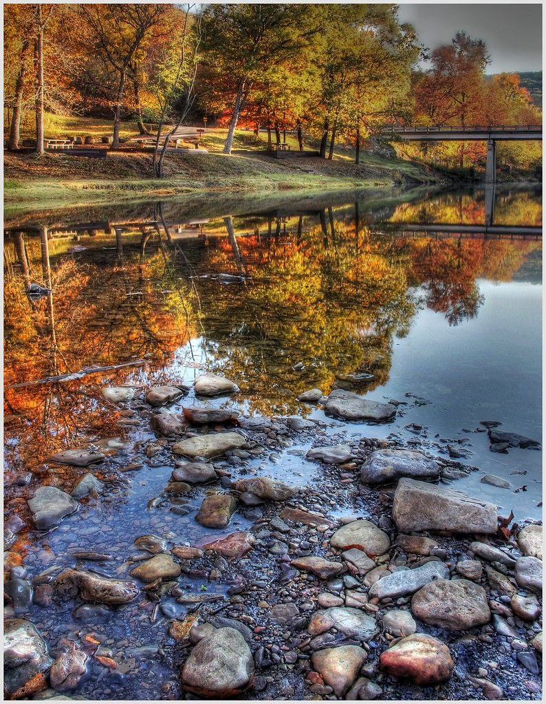
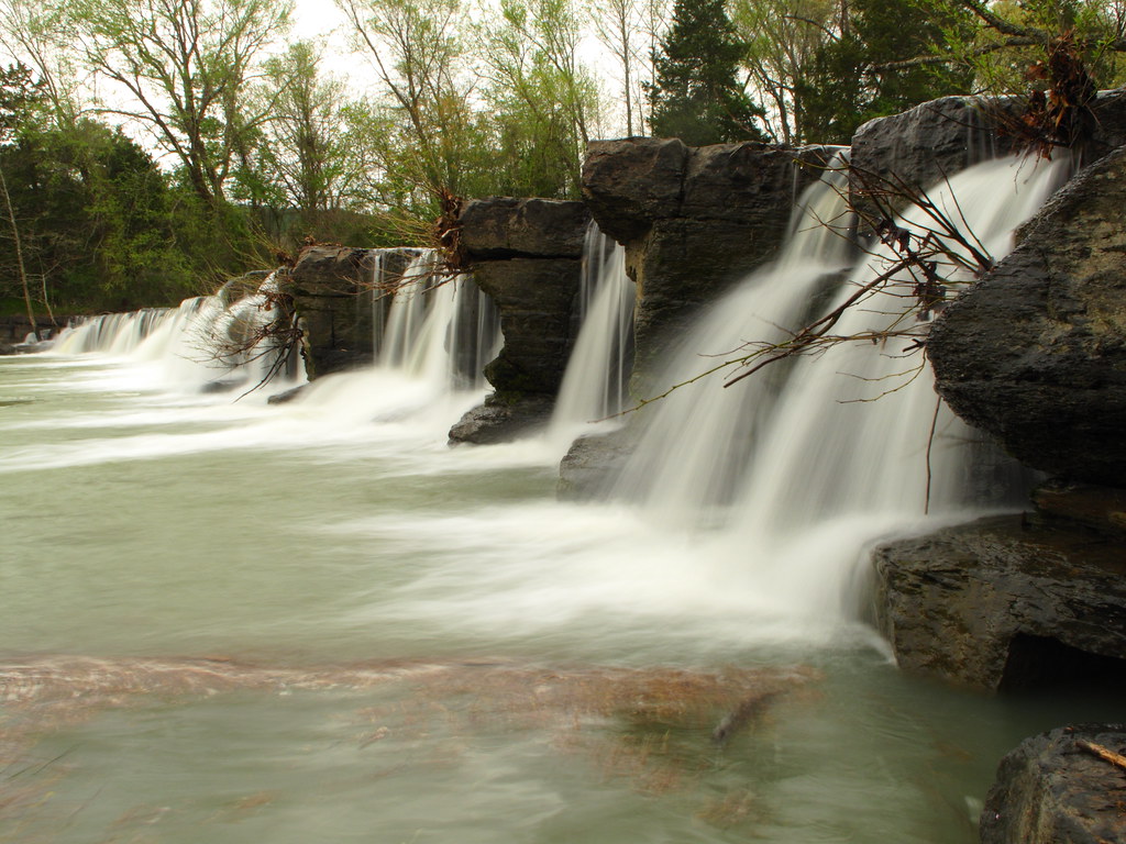
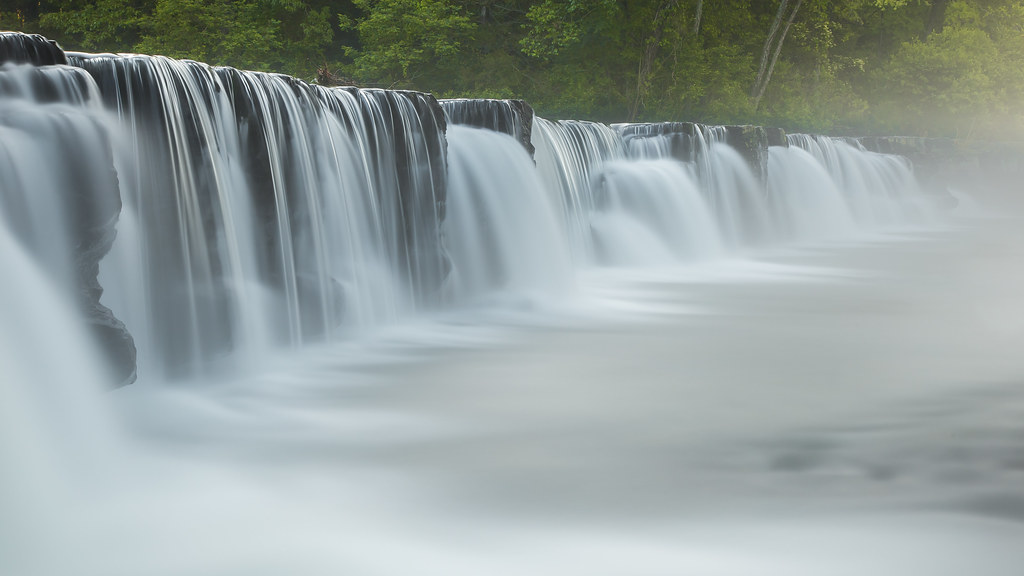
Natural Dam 1
Great White........

"Down The Creek"
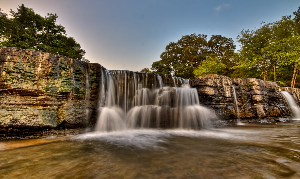
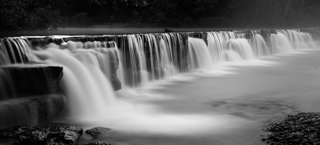
the natural dam
Highway 71 #igersarkansas_autumn @igersarkansas #foliage #autumn #arkansas
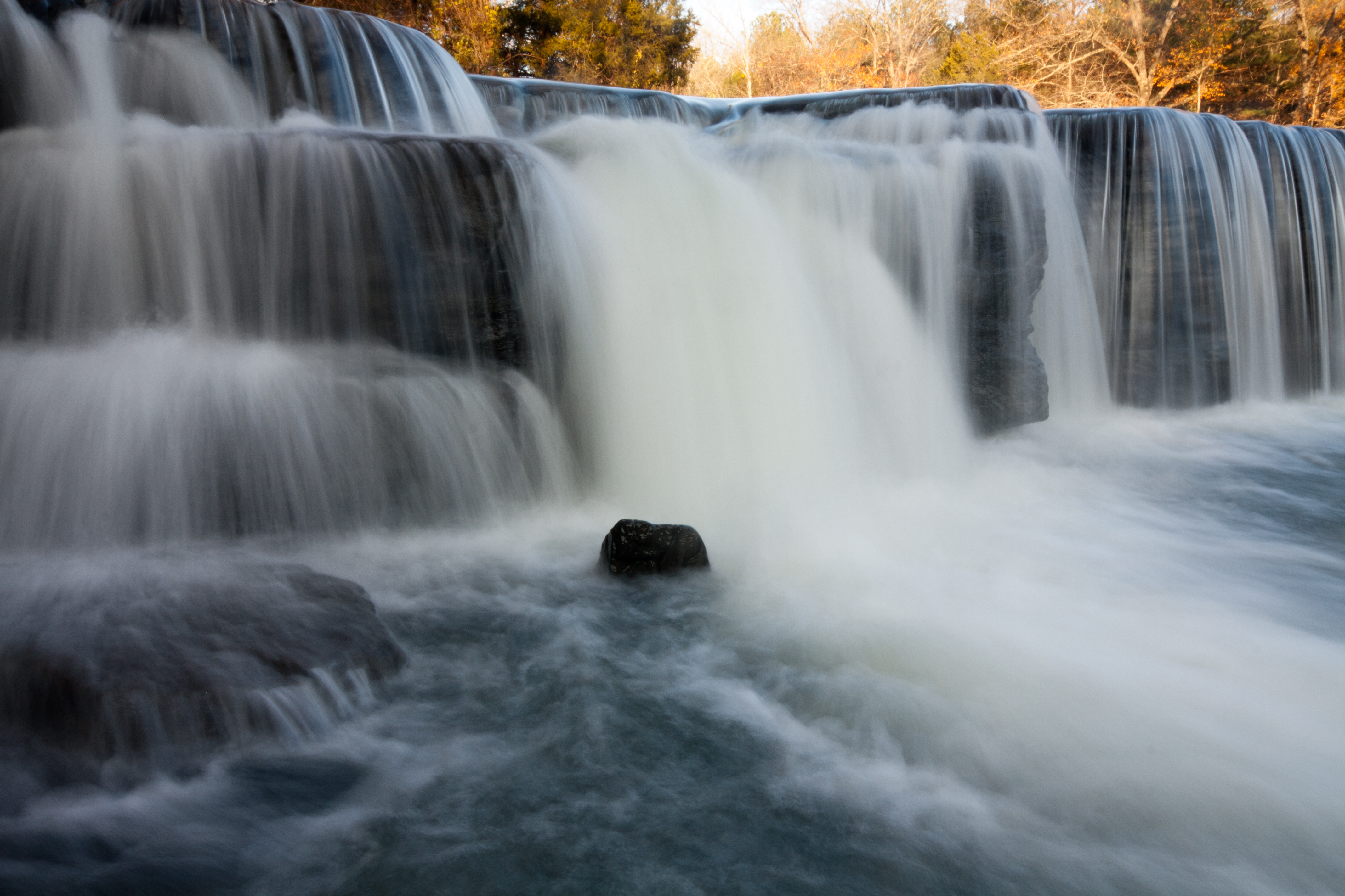
Natural Dam 2
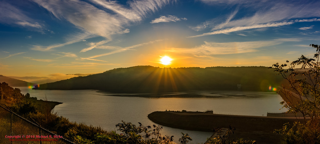
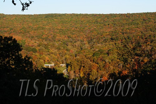
Boston Mountains Scenic Highway - Lake Fort Smith Overlook
Falls at Sunset

Fall colors along a winding road
Devil den Natioanl Park Look Out Point
Sunset along river bank
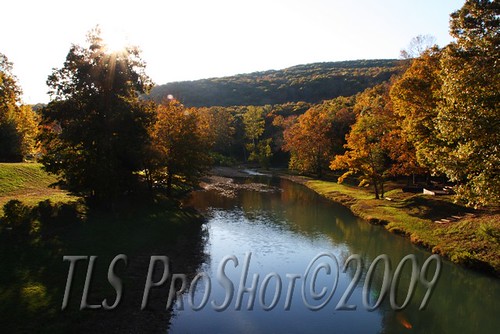
Sunset along river bank
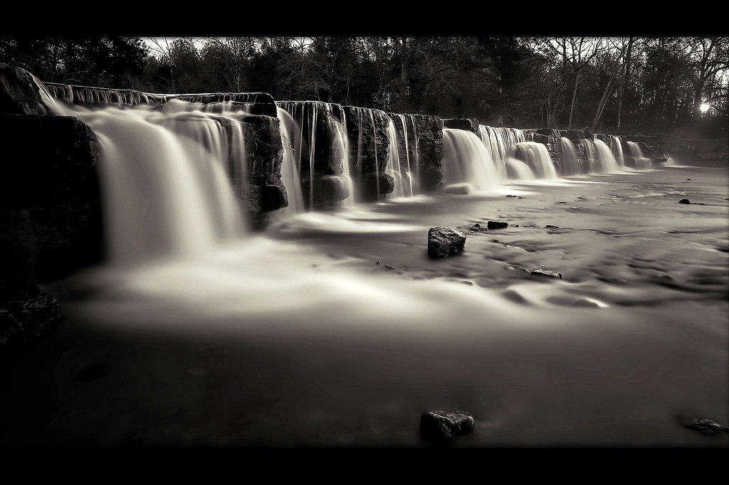
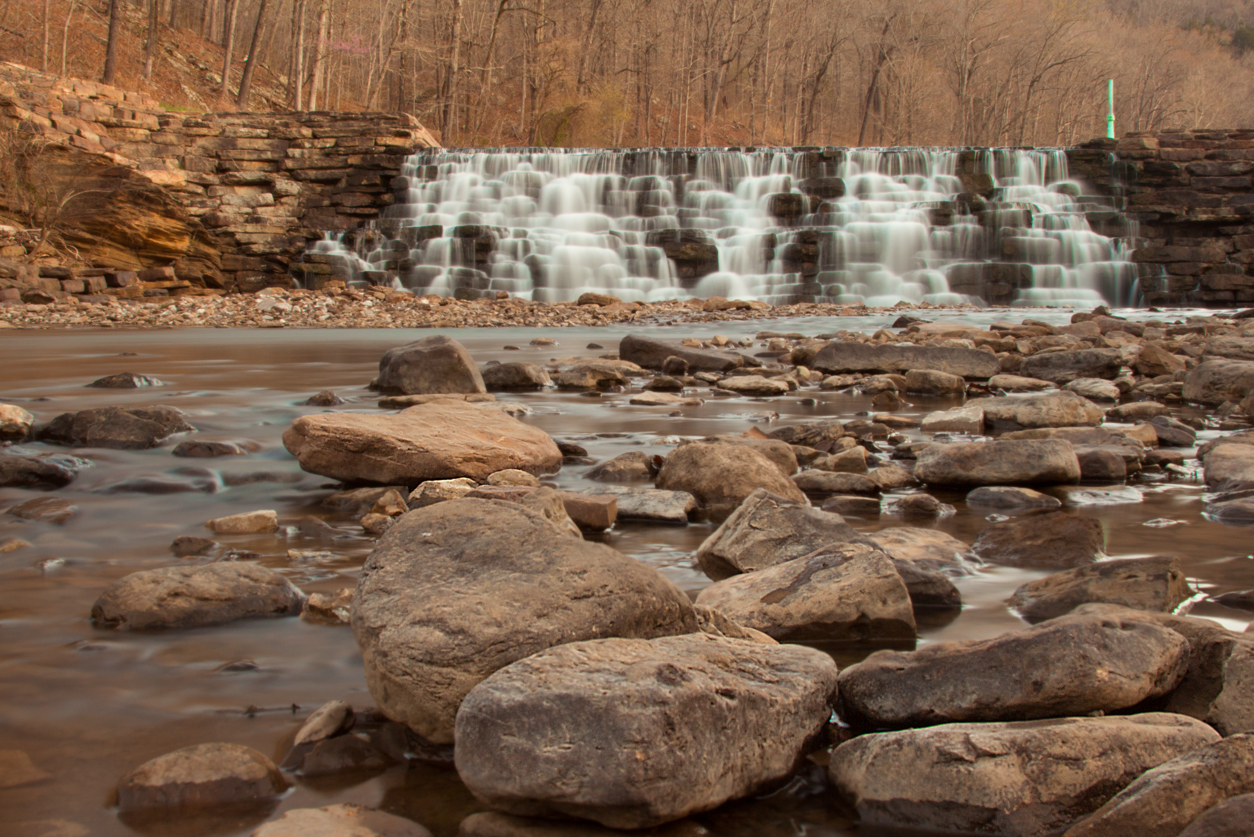
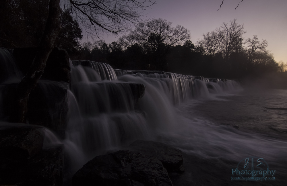
Natural Dam at sunrise
Natural Dam
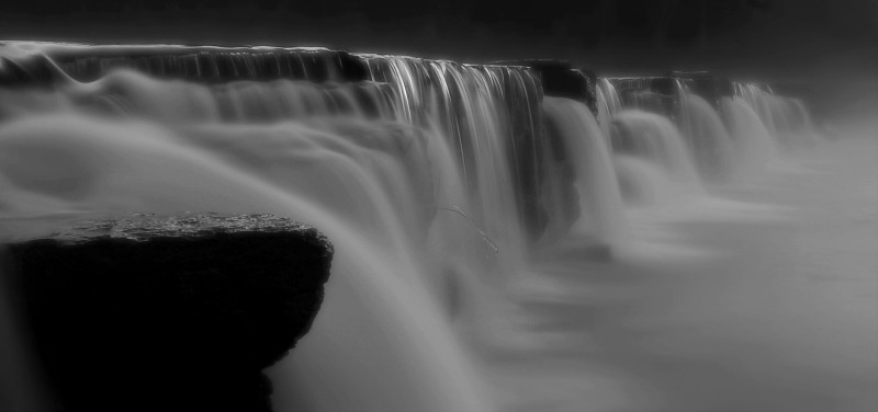
Natural Dam revisited
Natural Dam before sunrise
Lee Creek Dam at sunrise

Boston Mountains Scenic Highway - Lake Fort Smith Overlook
Natural Dam
Mapa de Cedar Creek Township, AR, EE. UU.
Buscar otro lugar
Lugares cercanos
Old 81 Loop, Rudy, AR, EE. UU.
Hobbtown Rd, Rudy, AR, EE. UU.
Condado de Crawford, Arkansas, EE. UU.
Cedarville Township, AR, EE. UU.
Peaceful Home Rd, Natural Dam, AR, EE. UU.
Oliver Springs Township, AR, EE. UU.
Natural Dam, AR, EE. UU.
AR-59, Cedarville, AR, EE. UU.
Cedarville, Arkansas, EE. UU.
Rudy, Arkansas, EE. UU.
Old Rudy Rd, Alma, AR, EE. UU.
Rudy Township, AR, EE. UU.
Lees Creek Township, AR, EE. UU.
Uniontown Hwy, Van Buren, AR, EE. UU.
Bond Special Rd, Van Buren, AR, EE. UU.
Municipio de Uniontown, Arkansas, EE. UU.
Old Rudy Rd, Alma, AR, EE. UU.
Kimberling Hill Dr, Alma, AR, EE. UU.
Collum Ln W, Alma, AR, EE. UU.
Laurel Way, Alma, AR, EE. UU.
Búsquedas recientes
- Horas de salida y puesta de sol de Red Dog Mine, AK, USA
- Horas de salida y puesta de sol de Am Bahnhof, Am bhf, Borken, Germany
- Horas de salida y puesta de sol de 4th St E, Sonoma, CA, EE. UU.
- Horas de salida y puesta de sol de Oakland Ave, Williamsport, PA, EE. UU.
- Horas de salida y puesta de sol de Via Roma, Pieranica CR, Italia
- Horas de salida y puesta de sol de Torre del reloj, Grad, Dubrovnik (Ragusa), Croacia
- Horas de salida y puesta de sol de Trelew, Chubut, Argentina
- Horas de salida y puesta de sol de Hartfords Bluff Cir, Mt Pleasant, SC, EE. UU.
- Horas de salida y puesta de sol de Kita Ward, Kumamoto, Japón
- Horas de salida y puesta de sol de Pingtan Island, Pingtan County, Fuzhou, China