Horas de salida y puesta de sol de Cabot Trail, Saint Joseph du Moine, NS B0E 3A0, Canadá
Location: Canadá > Nueva Escocia > Inverness County > Inverness > Saint Joseph du Moine >
Zona horaria:
America/Halifax
Hora local:
2025-07-10 05:30:24
Longitud:
-61.061029
Latitud:
46.530415
Salida de sol de hoy:
05:22:17 AM
Puesta de sol de hoy:
08:57:11 PM
La duración del día hoy:
15h 34m 54s
Salida de sol de mañana:
05:23:10 AM
Puesta de sol de mañana:
08:56:33 PM
La duración del día mañana:
15h 33m 23s
Mostrar todas las fechas
| Fecha | Salida de sol | Puesta de sol | Duración del día |
|---|---|---|---|
| 31/12/1969 | 07:48:14 AM | 04:27:07 PM | 8h 38m 53s |
| 01/01/1970 | 07:48:14 AM | 04:28:02 PM | 8h 39m 48s |
| 02/01/1970 | 07:48:12 AM | 04:29:00 PM | 8h 40m 48s |
| 03/01/1970 | 07:48:07 AM | 04:30:00 PM | 8h 41m 53s |
| 04/01/1970 | 07:48:00 AM | 04:31:02 PM | 8h 43m 2s |
| 05/01/1970 | 07:47:50 AM | 04:32:06 PM | 8h 44m 16s |
| 06/01/1970 | 07:47:36 AM | 04:33:11 PM | 8h 45m 35s |
| 07/01/1970 | 07:47:21 AM | 04:34:19 PM | 8h 46m 58s |
| 08/01/1970 | 07:47:02 AM | 04:35:28 PM | 8h 48m 26s |
| 09/01/1970 | 07:46:41 AM | 04:36:38 PM | 8h 49m 57s |
| 10/01/1970 | 07:46:17 AM | 04:37:51 PM | 8h 51m 34s |
| 11/01/1970 | 07:45:51 AM | 04:39:04 PM | 8h 53m 13s |
| 12/01/1970 | 07:45:21 AM | 04:40:19 PM | 8h 54m 58s |
| 13/01/1970 | 07:44:50 AM | 04:41:36 PM | 8h 56m 46s |
| 14/01/1970 | 07:44:15 AM | 04:42:54 PM | 8h 58m 39s |
| 15/01/1970 | 07:43:38 AM | 04:44:13 PM | 9h 0m 35s |
| 16/01/1970 | 07:42:59 AM | 04:45:33 PM | 9h 2m 34s |
| 17/01/1970 | 07:42:17 AM | 04:46:54 PM | 9h 4m 37s |
| 18/01/1970 | 07:41:33 AM | 04:48:16 PM | 9h 6m 43s |
| 19/01/1970 | 07:40:46 AM | 04:49:39 PM | 9h 8m 53s |
| 20/01/1970 | 07:39:57 AM | 04:51:04 PM | 9h 11m 7s |
| 21/01/1970 | 07:39:05 AM | 04:52:28 PM | 9h 13m 23s |
| 22/01/1970 | 07:38:11 AM | 04:53:54 PM | 9h 15m 43s |
| 23/01/1970 | 07:37:15 AM | 04:55:20 PM | 9h 18m 5s |
| 24/01/1970 | 07:36:17 AM | 04:56:47 PM | 9h 20m 30s |
| 25/01/1970 | 07:35:16 AM | 04:58:15 PM | 9h 22m 59s |
| 26/01/1970 | 07:34:14 AM | 04:59:43 PM | 9h 25m 29s |
| 27/01/1970 | 07:33:09 AM | 05:01:12 PM | 9h 28m 3s |
| 28/01/1970 | 07:32:02 AM | 05:02:41 PM | 9h 30m 39s |
| 29/01/1970 | 07:30:54 AM | 05:04:10 PM | 9h 33m 16s |
| 30/01/1970 | 07:29:43 AM | 05:05:40 PM | 9h 35m 57s |
| 31/01/1970 | 07:28:30 AM | 05:07:10 PM | 9h 38m 40s |
| 01/02/1970 | 07:27:16 AM | 05:08:40 PM | 9h 41m 24s |
| 02/02/1970 | 07:25:59 AM | 05:10:11 PM | 9h 44m 12s |
| 03/02/1970 | 07:24:41 AM | 05:11:42 PM | 9h 47m 1s |
| 04/02/1970 | 07:23:21 AM | 05:13:12 PM | 9h 49m 51s |
| 05/02/1970 | 07:21:59 AM | 05:14:43 PM | 9h 52m 44s |
| 06/02/1970 | 07:20:36 AM | 05:16:14 PM | 9h 55m 38s |
| 07/02/1970 | 07:19:11 AM | 05:17:45 PM | 9h 58m 34s |
| 08/02/1970 | 07:17:45 AM | 05:19:16 PM | 10h 1m 31s |
| 09/02/1970 | 07:16:17 AM | 05:20:47 PM | 10h 4m 30s |
| 10/02/1970 | 07:14:47 AM | 05:22:18 PM | 10h 7m 31s |
| 11/02/1970 | 07:13:16 AM | 05:23:49 PM | 10h 10m 33s |
| 12/02/1970 | 07:11:44 AM | 05:25:19 PM | 10h 13m 35s |
| 13/02/1970 | 07:10:10 AM | 05:26:50 PM | 10h 16m 40s |
| 14/02/1970 | 07:08:35 AM | 05:28:20 PM | 10h 19m 45s |
| 15/02/1970 | 07:06:59 AM | 05:29:50 PM | 10h 22m 51s |
| 16/02/1970 | 07:05:21 AM | 05:31:20 PM | 10h 25m 59s |
| 17/02/1970 | 07:03:42 AM | 05:32:50 PM | 10h 29m 8s |
| 18/02/1970 | 07:02:03 AM | 05:34:19 PM | 10h 32m 16s |
| 19/02/1970 | 07:00:22 AM | 05:35:49 PM | 10h 35m 27s |
| 20/02/1970 | 06:58:39 AM | 05:37:18 PM | 10h 38m 39s |
| 21/02/1970 | 06:56:56 AM | 05:38:46 PM | 10h 41m 50s |
| 22/02/1970 | 06:55:12 AM | 05:40:15 PM | 10h 45m 3s |
| 23/02/1970 | 06:53:27 AM | 05:41:43 PM | 10h 48m 16s |
| 24/02/1970 | 06:51:41 AM | 05:43:11 PM | 10h 51m 30s |
| 25/02/1970 | 06:49:54 AM | 05:44:39 PM | 10h 54m 45s |
| 26/02/1970 | 06:48:06 AM | 05:46:06 PM | 10h 58m 0s |
| 27/02/1970 | 06:46:18 AM | 05:47:33 PM | 11h 1m 15s |
| 28/02/1970 | 06:44:28 AM | 05:49:00 PM | 11h 4m 32s |
| 01/03/1970 | 06:42:38 AM | 05:50:27 PM | 11h 7m 49s |
| 02/03/1970 | 06:40:47 AM | 05:51:53 PM | 11h 11m 6s |
| 03/03/1970 | 06:38:56 AM | 05:53:19 PM | 11h 14m 23s |
| 04/03/1970 | 06:37:04 AM | 05:54:45 PM | 11h 17m 41s |
| 05/03/1970 | 06:35:11 AM | 05:56:10 PM | 11h 20m 59s |
| 06/03/1970 | 06:33:17 AM | 05:57:35 PM | 11h 24m 18s |
| 07/03/1970 | 06:31:24 AM | 05:59:00 PM | 11h 27m 36s |
| 08/03/1970 | 06:29:29 AM | 06:00:25 PM | 11h 30m 56s |
| 09/03/1970 | 06:27:34 AM | 06:01:50 PM | 11h 34m 16s |
| 10/03/1970 | 06:25:39 AM | 06:03:14 PM | 11h 37m 35s |
| 11/03/1970 | 06:23:43 AM | 06:04:38 PM | 11h 40m 55s |
| 12/03/1970 | 06:21:47 AM | 06:06:01 PM | 11h 44m 14s |
| 13/03/1970 | 06:19:51 AM | 06:07:25 PM | 11h 47m 34s |
| 14/03/1970 | 06:17:54 AM | 06:08:48 PM | 11h 50m 54s |
| 15/03/1970 | 06:15:57 AM | 06:10:11 PM | 11h 54m 14s |
| 16/03/1970 | 06:14:00 AM | 06:11:34 PM | 11h 57m 34s |
| 17/03/1970 | 06:12:03 AM | 06:12:57 PM | 12h 0m 54s |
| 18/03/1970 | 06:10:05 AM | 06:14:19 PM | 12h 4m 14s |
| 19/03/1970 | 06:08:07 AM | 06:15:42 PM | 12h 7m 35s |
| 20/03/1970 | 06:06:09 AM | 06:17:04 PM | 12h 10m 55s |
| 21/03/1970 | 06:04:11 AM | 06:18:26 PM | 12h 14m 15s |
| 22/03/1970 | 06:02:13 AM | 06:19:48 PM | 12h 17m 35s |
| 23/03/1970 | 06:00:15 AM | 06:21:10 PM | 12h 20m 55s |
| 24/03/1970 | 05:58:17 AM | 06:22:31 PM | 12h 24m 14s |
| 25/03/1970 | 05:56:19 AM | 06:23:53 PM | 12h 27m 34s |
| 26/03/1970 | 05:54:21 AM | 06:25:14 PM | 12h 30m 53s |
| 27/03/1970 | 05:52:24 AM | 06:26:36 PM | 12h 34m 12s |
| 28/03/1970 | 05:50:26 AM | 06:27:57 PM | 12h 37m 31s |
| 29/03/1970 | 05:48:28 AM | 06:29:18 PM | 12h 40m 50s |
| 30/03/1970 | 05:46:31 AM | 06:30:39 PM | 12h 44m 8s |
| 31/03/1970 | 05:44:34 AM | 06:32:00 PM | 12h 47m 26s |
| 01/04/1970 | 05:42:37 AM | 06:33:21 PM | 12h 50m 44s |
| 02/04/1970 | 05:40:40 AM | 06:34:42 PM | 12h 54m 2s |
| 03/04/1970 | 05:38:44 AM | 06:36:03 PM | 12h 57m 19s |
| 04/04/1970 | 05:36:48 AM | 06:37:24 PM | 13h 0m 36s |
| 05/04/1970 | 05:34:53 AM | 06:38:45 PM | 13h 3m 52s |
| 06/04/1970 | 05:32:57 AM | 06:40:06 PM | 13h 7m 9s |
| 07/04/1970 | 05:31:03 AM | 06:41:27 PM | 13h 10m 24s |
| 08/04/1970 | 05:29:08 AM | 06:42:48 PM | 13h 13m 40s |
| 09/04/1970 | 05:27:15 AM | 06:44:09 PM | 13h 16m 54s |
| 10/04/1970 | 05:25:22 AM | 06:45:29 PM | 13h 20m 7s |
| 11/04/1970 | 05:23:29 AM | 06:46:50 PM | 13h 23m 21s |
| 12/04/1970 | 05:21:37 AM | 06:48:11 PM | 13h 26m 34s |
| 13/04/1970 | 05:19:46 AM | 06:49:32 PM | 13h 29m 46s |
| 14/04/1970 | 05:17:55 AM | 06:50:53 PM | 13h 32m 58s |
| 15/04/1970 | 05:16:05 AM | 06:52:14 PM | 13h 36m 9s |
| 16/04/1970 | 05:14:16 AM | 06:53:34 PM | 13h 39m 18s |
| 17/04/1970 | 05:12:27 AM | 06:54:55 PM | 13h 42m 28s |
| 18/04/1970 | 05:10:40 AM | 06:56:16 PM | 13h 45m 36s |
| 19/04/1970 | 05:08:53 AM | 06:57:37 PM | 13h 48m 44s |
| 20/04/1970 | 05:07:07 AM | 06:58:57 PM | 13h 51m 50s |
| 21/04/1970 | 05:05:22 AM | 07:00:18 PM | 13h 54m 56s |
| 22/04/1970 | 05:03:38 AM | 07:01:38 PM | 13h 58m 0s |
| 23/04/1970 | 05:01:55 AM | 07:02:59 PM | 14h 1m 4s |
| 24/04/1970 | 05:00:13 AM | 07:04:19 PM | 14h 4m 6s |
| 25/04/1970 | 04:58:32 AM | 07:05:40 PM | 14h 7m 8s |
| 26/04/1970 | 05:56:56 AM | 08:06:56 PM | 14h 10m 0s |
| 27/04/1970 | 05:55:17 AM | 08:08:16 PM | 14h 12m 59s |
| 28/04/1970 | 05:53:40 AM | 08:09:36 PM | 14h 15m 56s |
| 29/04/1970 | 05:52:03 AM | 08:10:56 PM | 14h 18m 53s |
| 30/04/1970 | 05:50:28 AM | 08:12:16 PM | 14h 21m 48s |
| 01/05/1970 | 05:48:54 AM | 08:13:35 PM | 14h 24m 41s |
| 02/05/1970 | 05:47:22 AM | 08:14:54 PM | 14h 27m 32s |
| 03/05/1970 | 05:45:50 AM | 08:16:13 PM | 14h 30m 23s |
| 04/05/1970 | 05:44:21 AM | 08:17:31 PM | 14h 33m 10s |
| 05/05/1970 | 05:42:52 AM | 08:18:50 PM | 14h 35m 58s |
| 06/05/1970 | 05:41:25 AM | 08:20:08 PM | 14h 38m 43s |
| 07/05/1970 | 05:40:00 AM | 08:21:25 PM | 14h 41m 25s |
| 08/05/1970 | 05:38:36 AM | 08:22:42 PM | 14h 44m 6s |
| 09/05/1970 | 05:37:14 AM | 08:23:59 PM | 14h 46m 45s |
| 10/05/1970 | 05:35:53 AM | 08:25:15 PM | 14h 49m 22s |
| 11/05/1970 | 05:34:34 AM | 08:26:31 PM | 14h 51m 57s |
| 12/05/1970 | 05:33:17 AM | 08:27:46 PM | 14h 54m 29s |
| 13/05/1970 | 05:32:01 AM | 08:29:00 PM | 14h 56m 59s |
| 14/05/1970 | 05:30:48 AM | 08:30:14 PM | 14h 59m 26s |
| 15/05/1970 | 05:29:36 AM | 08:31:27 PM | 15h 1m 51s |
| 16/05/1970 | 05:28:26 AM | 08:32:39 PM | 15h 4m 13s |
| 17/05/1970 | 05:27:18 AM | 08:33:51 PM | 15h 6m 33s |
| 18/05/1970 | 05:26:11 AM | 08:35:02 PM | 15h 8m 51s |
| 19/05/1970 | 05:25:07 AM | 08:36:12 PM | 15h 11m 5s |
| 20/05/1970 | 05:24:05 AM | 08:37:21 PM | 15h 13m 16s |
| 21/05/1970 | 05:23:05 AM | 08:38:29 PM | 15h 15m 24s |
| 22/05/1970 | 05:22:07 AM | 08:39:36 PM | 15h 17m 29s |
| 23/05/1970 | 05:21:11 AM | 08:40:42 PM | 15h 19m 31s |
| 24/05/1970 | 05:20:17 AM | 08:41:47 PM | 15h 21m 30s |
| 25/05/1970 | 05:19:25 AM | 08:42:51 PM | 15h 23m 26s |
| 26/05/1970 | 05:18:35 AM | 08:43:53 PM | 15h 25m 18s |
| 27/05/1970 | 05:17:48 AM | 08:44:54 PM | 15h 27m 6s |
| 28/05/1970 | 05:17:03 AM | 08:45:54 PM | 15h 28m 51s |
| 29/05/1970 | 05:16:20 AM | 08:46:53 PM | 15h 30m 33s |
| 30/05/1970 | 05:15:40 AM | 08:47:50 PM | 15h 32m 10s |
| 31/05/1970 | 05:15:02 AM | 08:48:45 PM | 15h 33m 43s |
| 01/06/1970 | 05:14:26 AM | 08:49:39 PM | 15h 35m 13s |
| 02/06/1970 | 05:13:53 AM | 08:50:32 PM | 15h 36m 39s |
| 03/06/1970 | 05:13:22 AM | 08:51:22 PM | 15h 38m 0s |
| 04/06/1970 | 05:12:53 AM | 08:52:11 PM | 15h 39m 18s |
| 05/06/1970 | 05:12:27 AM | 08:52:59 PM | 15h 40m 32s |
| 06/06/1970 | 05:12:03 AM | 08:53:44 PM | 15h 41m 41s |
| 07/06/1970 | 05:11:42 AM | 08:54:28 PM | 15h 42m 46s |
| 08/06/1970 | 05:11:24 AM | 08:55:09 PM | 15h 43m 45s |
| 09/06/1970 | 05:11:07 AM | 08:55:49 PM | 15h 44m 42s |
| 10/06/1970 | 05:10:53 AM | 08:56:27 PM | 15h 45m 34s |
| 11/06/1970 | 05:10:42 AM | 08:57:03 PM | 15h 46m 21s |
| 12/06/1970 | 05:10:33 AM | 08:57:36 PM | 15h 47m 3s |
| 13/06/1970 | 05:10:27 AM | 08:58:08 PM | 15h 47m 41s |
| 14/06/1970 | 05:10:23 AM | 08:58:37 PM | 15h 48m 14s |
| 15/06/1970 | 05:10:21 AM | 08:59:04 PM | 15h 48m 43s |
| 16/06/1970 | 05:10:22 AM | 08:59:29 PM | 15h 49m 7s |
| 17/06/1970 | 05:10:26 AM | 08:59:51 PM | 15h 49m 25s |
| 18/06/1970 | 05:10:32 AM | 09:00:11 PM | 15h 49m 39s |
| 19/06/1970 | 05:10:40 AM | 09:00:29 PM | 15h 49m 49s |
| 20/06/1970 | 05:10:51 AM | 09:00:45 PM | 15h 49m 54s |
| 21/06/1970 | 05:11:04 AM | 09:00:58 PM | 15h 49m 54s |
| 22/06/1970 | 05:11:19 AM | 09:01:08 PM | 15h 49m 49s |
| 23/06/1970 | 05:11:37 AM | 09:01:17 PM | 15h 49m 40s |
| 24/06/1970 | 05:11:56 AM | 09:01:22 PM | 15h 49m 26s |
| 25/06/1970 | 05:12:19 AM | 09:01:26 PM | 15h 49m 7s |
| 26/06/1970 | 05:12:43 AM | 09:01:26 PM | 15h 48m 43s |
| 27/06/1970 | 05:13:10 AM | 09:01:25 PM | 15h 48m 15s |
| 28/06/1970 | 05:13:38 AM | 09:01:20 PM | 15h 47m 42s |
| 29/06/1970 | 05:14:09 AM | 09:01:14 PM | 15h 47m 5s |
| 30/06/1970 | 05:14:42 AM | 09:01:04 PM | 15h 46m 22s |
| 01/07/1970 | 05:15:17 AM | 09:00:53 PM | 15h 45m 36s |
| 02/07/1970 | 05:15:54 AM | 09:00:38 PM | 15h 44m 44s |
| 03/07/1970 | 05:16:33 AM | 09:00:22 PM | 15h 43m 49s |
| 04/07/1970 | 05:17:13 AM | 09:00:02 PM | 15h 42m 49s |
| 05/07/1970 | 05:17:56 AM | 08:59:40 PM | 15h 41m 44s |
| 06/07/1970 | 05:18:40 AM | 08:59:16 PM | 15h 40m 36s |
| 07/07/1970 | 05:19:26 AM | 08:58:49 PM | 15h 39m 23s |
| 08/07/1970 | 05:20:14 AM | 08:58:20 PM | 15h 38m 6s |
| 09/07/1970 | 05:21:04 AM | 08:57:48 PM | 15h 36m 44s |
| 10/07/1970 | 05:21:55 AM | 08:57:14 PM | 15h 35m 19s |
| 11/07/1970 | 05:22:47 AM | 08:56:38 PM | 15h 33m 51s |
| 12/07/1970 | 05:23:41 AM | 08:55:59 PM | 15h 32m 18s |
| 13/07/1970 | 05:24:36 AM | 08:55:18 PM | 15h 30m 42s |
| 14/07/1970 | 05:25:33 AM | 08:54:34 PM | 15h 29m 1s |
| 15/07/1970 | 05:26:31 AM | 08:53:48 PM | 15h 27m 17s |
| 16/07/1970 | 05:27:30 AM | 08:53:00 PM | 15h 25m 30s |
| 17/07/1970 | 05:28:31 AM | 08:52:10 PM | 15h 23m 39s |
| 18/07/1970 | 05:29:33 AM | 08:51:17 PM | 15h 21m 44s |
| 19/07/1970 | 05:30:35 AM | 08:50:22 PM | 15h 19m 47s |
| 20/07/1970 | 05:31:39 AM | 08:49:25 PM | 15h 17m 46s |
| 21/07/1970 | 05:32:44 AM | 08:48:26 PM | 15h 15m 42s |
| 22/07/1970 | 05:33:50 AM | 08:47:25 PM | 15h 13m 35s |
| 23/07/1970 | 05:34:56 AM | 08:46:22 PM | 15h 11m 26s |
| 24/07/1970 | 05:36:04 AM | 08:45:17 PM | 15h 9m 13s |
| 25/07/1970 | 05:37:12 AM | 08:44:09 PM | 15h 6m 57s |
| 26/07/1970 | 05:38:21 AM | 08:43:00 PM | 15h 4m 39s |
| 27/07/1970 | 05:39:31 AM | 08:41:49 PM | 15h 2m 18s |
| 28/07/1970 | 05:40:41 AM | 08:40:36 PM | 14h 59m 55s |
| 29/07/1970 | 05:41:53 AM | 08:39:21 PM | 14h 57m 28s |
| 30/07/1970 | 05:43:04 AM | 08:38:05 PM | 14h 55m 1s |
| 31/07/1970 | 05:44:16 AM | 08:36:47 PM | 14h 52m 31s |
| 01/08/1970 | 05:45:29 AM | 08:35:27 PM | 14h 49m 58s |
| 02/08/1970 | 05:46:42 AM | 08:34:05 PM | 14h 47m 23s |
| 03/08/1970 | 05:47:56 AM | 08:32:42 PM | 14h 44m 46s |
| 04/08/1970 | 05:49:10 AM | 08:31:17 PM | 14h 42m 7s |
| 05/08/1970 | 05:50:24 AM | 08:29:50 PM | 14h 39m 26s |
| 06/08/1970 | 05:51:38 AM | 08:28:22 PM | 14h 36m 44s |
| 07/08/1970 | 05:52:53 AM | 08:26:53 PM | 14h 34m 0s |
| 08/08/1970 | 05:54:09 AM | 08:25:22 PM | 14h 31m 13s |
| 09/08/1970 | 05:55:24 AM | 08:23:49 PM | 14h 28m 25s |
| 10/08/1970 | 05:56:40 AM | 08:22:16 PM | 14h 25m 36s |
| 11/08/1970 | 05:57:55 AM | 08:20:41 PM | 14h 22m 46s |
| 12/08/1970 | 05:59:11 AM | 08:19:04 PM | 14h 19m 53s |
| 13/08/1970 | 06:00:28 AM | 08:17:27 PM | 14h 16m 59s |
| 14/08/1970 | 06:01:44 AM | 08:15:48 PM | 14h 14m 4s |
| 15/08/1970 | 06:03:00 AM | 08:14:08 PM | 14h 11m 8s |
| 16/08/1970 | 06:04:17 AM | 08:12:27 PM | 14h 8m 10s |
| 17/08/1970 | 06:05:33 AM | 08:10:45 PM | 14h 5m 12s |
| 18/08/1970 | 06:06:50 AM | 08:09:02 PM | 14h 2m 12s |
| 19/08/1970 | 06:08:06 AM | 08:07:17 PM | 13h 59m 11s |
| 20/08/1970 | 06:09:23 AM | 08:05:32 PM | 13h 56m 9s |
| 21/08/1970 | 06:10:40 AM | 08:03:46 PM | 13h 53m 6s |
| 22/08/1970 | 06:11:57 AM | 08:01:59 PM | 13h 50m 2s |
| 23/08/1970 | 06:13:13 AM | 08:00:11 PM | 13h 46m 58s |
| 24/08/1970 | 06:14:30 AM | 07:58:22 PM | 13h 43m 52s |
| 25/08/1970 | 06:15:47 AM | 07:56:32 PM | 13h 40m 45s |
| 26/08/1970 | 06:17:03 AM | 07:54:41 PM | 13h 37m 38s |
| 27/08/1970 | 06:18:20 AM | 07:52:50 PM | 13h 34m 30s |
| 28/08/1970 | 06:19:37 AM | 07:50:58 PM | 13h 31m 21s |
| 29/08/1970 | 06:20:53 AM | 07:49:06 PM | 13h 28m 13s |
| 30/08/1970 | 06:22:10 AM | 07:47:12 PM | 13h 25m 2s |
| 31/08/1970 | 06:23:27 AM | 07:45:18 PM | 13h 21m 51s |
| 01/09/1970 | 06:24:43 AM | 07:43:24 PM | 13h 18m 41s |
| 02/09/1970 | 06:26:00 AM | 07:41:29 PM | 13h 15m 29s |
| 03/09/1970 | 06:27:16 AM | 07:39:33 PM | 13h 12m 17s |
| 04/09/1970 | 06:28:33 AM | 07:37:37 PM | 13h 9m 4s |
| 05/09/1970 | 06:29:49 AM | 07:35:40 PM | 13h 5m 51s |
| 06/09/1970 | 06:31:06 AM | 07:33:43 PM | 13h 2m 37s |
| 07/09/1970 | 06:32:22 AM | 07:31:46 PM | 12h 59m 24s |
| 08/09/1970 | 06:33:39 AM | 07:29:48 PM | 12h 56m 9s |
| 09/09/1970 | 06:34:55 AM | 07:27:50 PM | 12h 52m 55s |
| 10/09/1970 | 06:36:12 AM | 07:25:52 PM | 12h 49m 40s |
| 11/09/1970 | 06:37:29 AM | 07:23:53 PM | 12h 46m 24s |
| 12/09/1970 | 06:38:45 AM | 07:21:54 PM | 12h 43m 9s |
| 13/09/1970 | 06:40:02 AM | 07:19:55 PM | 12h 39m 53s |
| 14/09/1970 | 06:41:19 AM | 07:17:56 PM | 12h 36m 37s |
| 15/09/1970 | 06:42:35 AM | 07:15:57 PM | 12h 33m 22s |
| 16/09/1970 | 06:43:52 AM | 07:13:57 PM | 12h 30m 5s |
| 17/09/1970 | 06:45:09 AM | 07:11:57 PM | 12h 26m 48s |
| 18/09/1970 | 06:46:26 AM | 07:09:58 PM | 12h 23m 32s |
| 19/09/1970 | 06:47:43 AM | 07:07:58 PM | 12h 20m 15s |
| 20/09/1970 | 06:49:01 AM | 07:05:58 PM | 12h 16m 57s |
| 21/09/1970 | 06:50:18 AM | 07:03:58 PM | 12h 13m 40s |
| 22/09/1970 | 06:51:35 AM | 07:01:59 PM | 12h 10m 24s |
| 23/09/1970 | 06:52:53 AM | 06:59:59 PM | 12h 7m 6s |
| 24/09/1970 | 06:54:11 AM | 06:58:00 PM | 12h 3m 49s |
| 25/09/1970 | 06:55:29 AM | 06:56:00 PM | 12h 0m 31s |
| 26/09/1970 | 06:56:47 AM | 06:54:01 PM | 11h 57m 14s |
| 27/09/1970 | 06:58:05 AM | 06:52:02 PM | 11h 53m 57s |
| 28/09/1970 | 06:59:24 AM | 06:50:04 PM | 11h 50m 40s |
| 29/09/1970 | 07:00:43 AM | 06:48:05 PM | 11h 47m 22s |
| 30/09/1970 | 07:02:02 AM | 06:46:07 PM | 11h 44m 5s |
| 01/10/1970 | 07:03:21 AM | 06:44:10 PM | 11h 40m 49s |
| 02/10/1970 | 07:04:40 AM | 06:42:12 PM | 11h 37m 32s |
| 03/10/1970 | 07:06:00 AM | 06:40:15 PM | 11h 34m 15s |
| 04/10/1970 | 07:07:20 AM | 06:38:19 PM | 11h 30m 59s |
| 05/10/1970 | 07:08:40 AM | 06:36:23 PM | 11h 27m 43s |
| 06/10/1970 | 07:10:01 AM | 06:34:27 PM | 11h 24m 26s |
| 07/10/1970 | 07:11:21 AM | 06:32:32 PM | 11h 21m 11s |
| 08/10/1970 | 07:12:42 AM | 06:30:37 PM | 11h 17m 55s |
| 09/10/1970 | 07:14:04 AM | 06:28:44 PM | 11h 14m 40s |
| 10/10/1970 | 07:15:25 AM | 06:26:50 PM | 11h 11m 25s |
| 11/10/1970 | 07:16:47 AM | 06:24:58 PM | 11h 8m 11s |
| 12/10/1970 | 07:18:09 AM | 06:23:06 PM | 11h 4m 57s |
| 13/10/1970 | 07:19:32 AM | 06:21:15 PM | 11h 1m 43s |
| 14/10/1970 | 07:20:55 AM | 06:19:24 PM | 10h 58m 29s |
| 15/10/1970 | 07:22:18 AM | 06:17:35 PM | 10h 55m 17s |
| 16/10/1970 | 07:23:41 AM | 06:15:46 PM | 10h 52m 5s |
| 17/10/1970 | 07:25:05 AM | 06:13:58 PM | 10h 48m 53s |
| 18/10/1970 | 07:26:29 AM | 06:12:11 PM | 10h 45m 42s |
| 19/10/1970 | 07:27:53 AM | 06:10:25 PM | 10h 42m 32s |
| 20/10/1970 | 07:29:18 AM | 06:08:40 PM | 10h 39m 22s |
| 21/10/1970 | 07:30:43 AM | 06:06:56 PM | 10h 36m 13s |
| 22/10/1970 | 07:32:08 AM | 06:05:13 PM | 10h 33m 5s |
| 23/10/1970 | 07:33:33 AM | 06:03:31 PM | 10h 29m 58s |
| 24/10/1970 | 07:34:59 AM | 06:01:50 PM | 10h 26m 51s |
| 25/10/1970 | 06:36:28 AM | 05:00:06 PM | 10h 23m 38s |
| 26/10/1970 | 06:37:55 AM | 04:58:28 PM | 10h 20m 33s |
| 27/10/1970 | 06:39:21 AM | 04:56:51 PM | 10h 17m 30s |
| 28/10/1970 | 06:40:48 AM | 04:55:15 PM | 10h 14m 27s |
| 29/10/1970 | 06:42:14 AM | 04:53:41 PM | 10h 11m 27s |
| 30/10/1970 | 06:43:41 AM | 04:52:08 PM | 10h 8m 27s |
| 31/10/1970 | 06:45:09 AM | 04:50:36 PM | 10h 5m 27s |
| 01/11/1970 | 06:46:36 AM | 04:49:06 PM | 10h 2m 30s |
| 02/11/1970 | 06:48:03 AM | 04:47:37 PM | 9h 59m 34s |
| 03/11/1970 | 06:49:31 AM | 04:46:10 PM | 9h 56m 39s |
| 04/11/1970 | 06:50:58 AM | 04:44:45 PM | 9h 53m 47s |
| 05/11/1970 | 06:52:26 AM | 04:43:21 PM | 9h 50m 55s |
| 06/11/1970 | 06:53:53 AM | 04:41:59 PM | 9h 48m 6s |
| 07/11/1970 | 06:55:21 AM | 04:40:38 PM | 9h 45m 17s |
| 08/11/1970 | 06:56:48 AM | 04:39:20 PM | 9h 42m 32s |
| 09/11/1970 | 06:58:15 AM | 04:38:03 PM | 9h 39m 48s |
| 10/11/1970 | 06:59:42 AM | 04:36:48 PM | 9h 37m 6s |
| 11/11/1970 | 07:01:09 AM | 04:35:35 PM | 9h 34m 26s |
| 12/11/1970 | 07:02:36 AM | 04:34:24 PM | 9h 31m 48s |
| 13/11/1970 | 07:04:02 AM | 04:33:14 PM | 9h 29m 12s |
| 14/11/1970 | 07:05:28 AM | 04:32:07 PM | 9h 26m 39s |
| 15/11/1970 | 07:06:54 AM | 04:31:02 PM | 9h 24m 8s |
| 16/11/1970 | 07:08:19 AM | 04:29:59 PM | 9h 21m 40s |
| 17/11/1970 | 07:09:43 AM | 04:28:58 PM | 9h 19m 15s |
| 18/11/1970 | 07:11:08 AM | 04:28:00 PM | 9h 16m 52s |
| 19/11/1970 | 07:12:31 AM | 04:27:04 PM | 9h 14m 33s |
| 20/11/1970 | 07:13:54 AM | 04:26:09 PM | 9h 12m 15s |
| 21/11/1970 | 07:15:16 AM | 04:25:18 PM | 9h 10m 2s |
| 22/11/1970 | 07:16:38 AM | 04:24:28 PM | 9h 7m 50s |
| 23/11/1970 | 07:17:58 AM | 04:23:41 PM | 9h 5m 43s |
| 24/11/1970 | 07:19:18 AM | 04:22:57 PM | 9h 3m 39s |
| 25/11/1970 | 07:20:36 AM | 04:22:15 PM | 9h 1m 39s |
| 26/11/1970 | 07:21:54 AM | 04:21:35 PM | 8h 59m 41s |
| 27/11/1970 | 07:23:11 AM | 04:20:58 PM | 8h 57m 47s |
| 28/11/1970 | 07:24:26 AM | 04:20:24 PM | 8h 55m 58s |
| 29/11/1970 | 07:25:40 AM | 04:19:52 PM | 8h 54m 12s |
| 30/11/1970 | 07:26:53 AM | 04:19:23 PM | 8h 52m 30s |
| 01/12/1970 | 07:28:05 AM | 04:18:57 PM | 8h 50m 52s |
| 02/12/1970 | 07:29:15 AM | 04:18:33 PM | 8h 49m 18s |
| 03/12/1970 | 07:30:23 AM | 04:18:12 PM | 8h 47m 49s |
| 04/12/1970 | 07:31:30 AM | 04:17:54 PM | 8h 46m 24s |
| 05/12/1970 | 07:32:36 AM | 04:17:38 PM | 8h 45m 2s |
| 06/12/1970 | 07:33:39 AM | 04:17:25 PM | 8h 43m 46s |
| 07/12/1970 | 07:34:41 AM | 04:17:15 PM | 8h 42m 34s |
| 08/12/1970 | 07:35:41 AM | 04:17:08 PM | 8h 41m 27s |
| 09/12/1970 | 07:36:40 AM | 04:17:03 PM | 8h 40m 23s |
| 10/12/1970 | 07:37:36 AM | 04:17:02 PM | 8h 39m 26s |
| 11/12/1970 | 07:38:30 AM | 04:17:03 PM | 8h 38m 33s |
| 12/12/1970 | 07:39:22 AM | 04:17:07 PM | 8h 37m 45s |
| 13/12/1970 | 07:40:12 AM | 04:17:14 PM | 8h 37m 2s |
| 14/12/1970 | 07:41:00 AM | 04:17:23 PM | 8h 36m 23s |
| 15/12/1970 | 07:41:46 AM | 04:17:36 PM | 8h 35m 50s |
| 16/12/1970 | 07:42:29 AM | 04:17:51 PM | 8h 35m 22s |
| 17/12/1970 | 07:43:10 AM | 04:18:09 PM | 8h 34m 59s |
| 18/12/1970 | 07:43:48 AM | 04:18:30 PM | 8h 34m 42s |
| 19/12/1970 | 07:44:24 AM | 04:18:53 PM | 8h 34m 29s |
| 20/12/1970 | 07:44:58 AM | 04:19:19 PM | 8h 34m 21s |
| 21/12/1970 | 07:45:29 AM | 04:19:48 PM | 8h 34m 19s |
| 22/12/1970 | 07:45:57 AM | 04:20:19 PM | 8h 34m 22s |
| 23/12/1970 | 07:46:23 AM | 04:20:53 PM | 8h 34m 30s |
| 24/12/1970 | 07:46:46 AM | 04:21:30 PM | 8h 34m 44s |
| 25/12/1970 | 07:47:07 AM | 04:22:09 PM | 8h 35m 2s |
| 26/12/1970 | 07:47:24 AM | 04:22:50 PM | 8h 35m 26s |
| 27/12/1970 | 07:47:40 AM | 04:23:34 PM | 8h 35m 54s |
| 28/12/1970 | 07:47:52 AM | 04:24:20 PM | 8h 36m 28s |
| 29/12/1970 | 07:48:02 AM | 04:25:09 PM | 8h 37m 7s |
| 30/12/1970 | 07:48:09 AM | 04:26:00 PM | 8h 37m 51s |
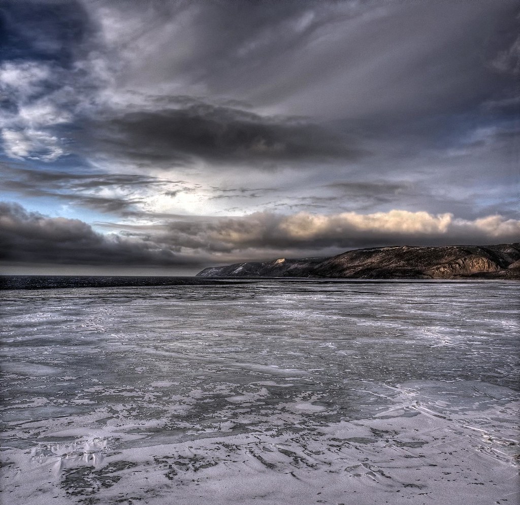
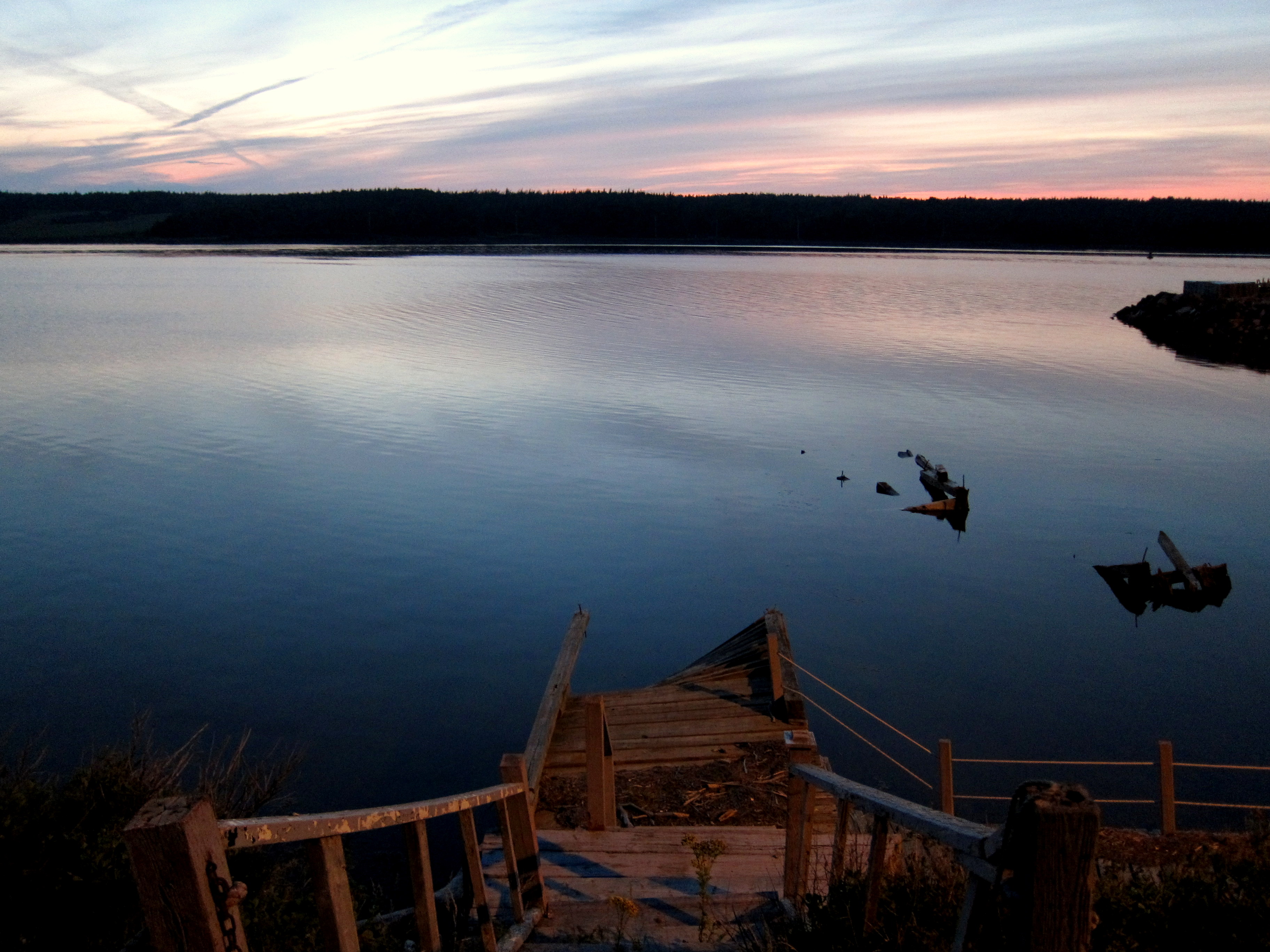
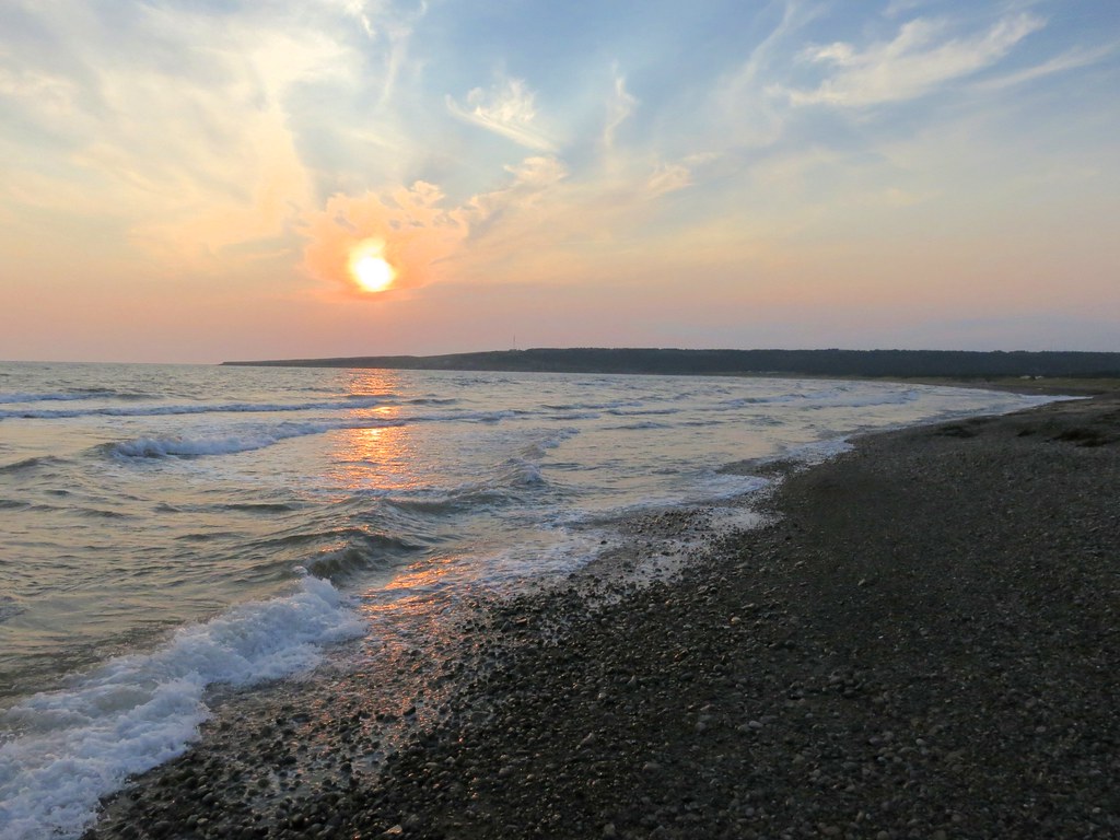
Fotos

Feeling Blessed...

Chéticamp Lighthouse

West of Cheticamp (2)

Cheticamp Sunset

Cape Breton Sunset
Along the Cabot Trail...

sunset next to Sea Wolf Island this evening

sunset over the banks of Terre Noire

Whale Cove after sunset last night
Chéticamp

Looks like good camping weather

just as the rain starts

Cloudy sunset at Whale Cove

Blue Hour Reflections

Chéticamp

the sun setting behind Calvin United Church

Cheticamp fishing boat

Chéticamp Island, seen from Chéticamp, Cape Breton Island, Nova Scotia, Canada #explorecanada #seaside #summer #sunset #capebreton #novascotia #maritimes #ocanada #shutterbugging #roadtrip #gulfofsaintlawrence

Jump!
Sunset over Chéticamp Island, NS

Sunset over the Gulf of St. Lawrence

MacKinnon's Farm before sunrise on a spring morning
Mapa de Cabot Trail, Saint Joseph du Moine, NS B0E 3A0, Canadá
Buscar otro lugar
Lugares cercanos
Cabot Trail Rd, Saint Joseph du Moine, NS B0E 3A0, Canadá
Saint Joseph du Moine, NS B0E, Canadá
Grand Étang, NS B0E 1L0, Canadá
Point Cross, NS B0E 1L0, Canadá
Chéticamp, NS, Canadá
Margaree Harbour, NS B0E, Canadá
Belle-Marche, NS B0E 1L0, Canadá
Cheticamp Back Rd, Petit Étang, NS B0E 2M0, Canadá
Cabot Trail, Petit Étang, NS B0E 2M0, Canadá
14 Lapointe Rd, Petit Étang, NS B0E 2M0, Canadá
Petit Étang, NS B0E, Canadá
Big Intervale Fishing Lodge, W Big Intervale Rd, Margaree Valley, NS B0E 2C0, Canadá
W Big Intervale Rd, Margaree Valley, NS B0E 2C0, Canadá
Cabot Trail, Petit Étang, NS B0E 2M0, Canadá
Bourgeois Road, Bourgeois Rd, Petit Étang, NS B0E 2M0, Canadá
The Cabot Trail, Cabot Trail, Petit Étang, NS B0E 2M0, Canadá
Inverness, Subd. A, NS, Canadá
Pleasant Bay, NS B0E 2P0, Canadá
Rear Little River Road, Rear Little River Rd, Victoria, Subd. A, NS B0E, Canadá
9 Blaze Rd, Dingwall, NS B0C 1G0, Canadá
Búsquedas recientes
- Horas de salida y puesta de sol de Red Dog Mine, AK, USA
- Horas de salida y puesta de sol de Am Bahnhof, Am bhf, Borken, Germany
- Horas de salida y puesta de sol de 4th St E, Sonoma, CA, EE. UU.
- Horas de salida y puesta de sol de Oakland Ave, Williamsport, PA, EE. UU.
- Horas de salida y puesta de sol de Via Roma, Pieranica CR, Italia
- Horas de salida y puesta de sol de Torre del reloj, Grad, Dubrovnik (Ragusa), Croacia
- Horas de salida y puesta de sol de Trelew, Chubut, Argentina
- Horas de salida y puesta de sol de Hartfords Bluff Cir, Mt Pleasant, SC, EE. UU.
- Horas de salida y puesta de sol de Kita Ward, Kumamoto, Japón
- Horas de salida y puesta de sol de Pingtan Island, Pingtan County, Fuzhou, China