Horas de salida y puesta de sol de Burr Oak Rd, Glouster, OH, EE. UU.
Location: Estados Unidos > Ohio > Condado de Athens > Municipio de Trimble > Glouster >
Zona horaria:
America/New_York
Hora local:
2025-06-21 23:45:26
Longitud:
-82.06309
Latitud:
39.551409
Salida de sol de hoy:
06:01:25 AM
Puesta de sol de hoy:
08:59:26 PM
La duración del día hoy:
14h 58m 1s
Salida de sol de mañana:
06:01:42 AM
Puesta de sol de mañana:
08:59:35 PM
La duración del día mañana:
14h 57m 53s
Mostrar todas las fechas
| Fecha | Salida de sol | Puesta de sol | Duración del día |
|---|---|---|---|
| 01/01/2025 | 07:48:48 AM | 05:15:56 PM | 9h 27m 8s |
| 02/01/2025 | 07:48:51 AM | 05:16:48 PM | 9h 27m 57s |
| 03/01/2025 | 07:48:53 AM | 05:17:41 PM | 9h 28m 48s |
| 04/01/2025 | 07:48:52 AM | 05:18:35 PM | 9h 29m 43s |
| 05/01/2025 | 07:48:50 AM | 05:19:30 PM | 9h 30m 40s |
| 06/01/2025 | 07:48:45 AM | 05:20:27 PM | 9h 31m 42s |
| 07/01/2025 | 07:48:38 AM | 05:21:25 PM | 9h 32m 47s |
| 08/01/2025 | 07:48:28 AM | 05:22:24 PM | 9h 33m 56s |
| 09/01/2025 | 07:48:17 AM | 05:23:24 PM | 9h 35m 7s |
| 10/01/2025 | 07:48:03 AM | 05:24:25 PM | 9h 36m 22s |
| 11/01/2025 | 07:47:47 AM | 05:25:27 PM | 9h 37m 40s |
| 12/01/2025 | 07:47:29 AM | 05:26:30 PM | 9h 39m 1s |
| 13/01/2025 | 07:47:09 AM | 05:27:34 PM | 9h 40m 25s |
| 14/01/2025 | 07:46:47 AM | 05:28:39 PM | 9h 41m 52s |
| 15/01/2025 | 07:46:23 AM | 05:29:44 PM | 9h 43m 21s |
| 16/01/2025 | 07:45:56 AM | 05:30:51 PM | 9h 44m 55s |
| 17/01/2025 | 07:45:28 AM | 05:31:57 PM | 9h 46m 29s |
| 18/01/2025 | 07:44:57 AM | 05:33:05 PM | 9h 48m 8s |
| 19/01/2025 | 07:44:24 AM | 05:34:13 PM | 9h 49m 49s |
| 20/01/2025 | 07:43:50 AM | 05:35:21 PM | 9h 51m 31s |
| 21/01/2025 | 07:43:13 AM | 05:36:30 PM | 9h 53m 17s |
| 22/01/2025 | 07:42:35 AM | 05:37:39 PM | 9h 55m 4s |
| 23/01/2025 | 07:41:54 AM | 05:38:49 PM | 9h 56m 55s |
| 24/01/2025 | 07:41:12 AM | 05:39:59 PM | 9h 58m 47s |
| 25/01/2025 | 07:40:28 AM | 05:41:09 PM | 10h 0m 41s |
| 26/01/2025 | 07:39:41 AM | 05:42:20 PM | 10h 2m 39s |
| 27/01/2025 | 07:38:54 AM | 05:43:30 PM | 10h 4m 36s |
| 28/01/2025 | 07:38:04 AM | 05:44:41 PM | 10h 6m 37s |
| 29/01/2025 | 07:37:12 AM | 05:45:52 PM | 10h 8m 40s |
| 30/01/2025 | 07:36:19 AM | 05:47:03 PM | 10h 10m 44s |
| 31/01/2025 | 07:35:24 AM | 05:48:15 PM | 10h 12m 51s |
| 01/02/2025 | 07:34:28 AM | 05:49:26 PM | 10h 14m 58s |
| 02/02/2025 | 07:33:30 AM | 05:50:37 PM | 10h 17m 7s |
| 03/02/2025 | 07:32:30 AM | 05:51:48 PM | 10h 19m 18s |
| 04/02/2025 | 07:31:29 AM | 05:52:59 PM | 10h 21m 30s |
| 05/02/2025 | 07:30:26 AM | 05:54:10 PM | 10h 23m 44s |
| 06/02/2025 | 07:29:21 AM | 05:55:21 PM | 10h 26m 0s |
| 07/02/2025 | 07:28:16 AM | 05:56:32 PM | 10h 28m 16s |
| 08/02/2025 | 07:27:09 AM | 05:57:42 PM | 10h 30m 33s |
| 09/02/2025 | 07:26:00 AM | 05:58:53 PM | 10h 32m 53s |
| 10/02/2025 | 07:24:50 AM | 06:00:03 PM | 10h 35m 13s |
| 11/02/2025 | 07:23:39 AM | 06:01:13 PM | 10h 37m 34s |
| 12/02/2025 | 07:22:26 AM | 06:02:23 PM | 10h 39m 57s |
| 13/02/2025 | 07:21:13 AM | 06:03:32 PM | 10h 42m 19s |
| 14/02/2025 | 07:19:58 AM | 06:04:41 PM | 10h 44m 43s |
| 15/02/2025 | 07:18:41 AM | 06:05:50 PM | 10h 47m 9s |
| 16/02/2025 | 07:17:24 AM | 06:06:59 PM | 10h 49m 35s |
| 17/02/2025 | 07:16:06 AM | 06:08:08 PM | 10h 52m 2s |
| 18/02/2025 | 07:14:46 AM | 06:09:16 PM | 10h 54m 30s |
| 19/02/2025 | 07:13:26 AM | 06:10:24 PM | 10h 56m 58s |
| 20/02/2025 | 07:12:04 AM | 06:11:31 PM | 10h 59m 27s |
| 21/02/2025 | 07:10:42 AM | 06:12:39 PM | 11h 1m 57s |
| 22/02/2025 | 07:09:19 AM | 06:13:46 PM | 11h 4m 27s |
| 23/02/2025 | 07:07:54 AM | 06:14:52 PM | 11h 6m 58s |
| 24/02/2025 | 07:06:29 AM | 06:15:59 PM | 11h 9m 30s |
| 25/02/2025 | 07:05:03 AM | 06:17:05 PM | 11h 12m 2s |
| 26/02/2025 | 07:03:37 AM | 06:18:11 PM | 11h 14m 34s |
| 27/02/2025 | 07:02:09 AM | 06:19:16 PM | 11h 17m 7s |
| 28/02/2025 | 07:00:41 AM | 06:20:21 PM | 11h 19m 40s |
| 01/03/2025 | 06:59:12 AM | 06:21:26 PM | 11h 22m 14s |
| 02/03/2025 | 06:57:42 AM | 06:22:31 PM | 11h 24m 49s |
| 03/03/2025 | 06:56:12 AM | 06:23:35 PM | 11h 27m 23s |
| 04/03/2025 | 06:54:41 AM | 06:24:39 PM | 11h 29m 58s |
| 05/03/2025 | 06:53:10 AM | 06:25:43 PM | 11h 32m 33s |
| 06/03/2025 | 06:51:38 AM | 06:26:46 PM | 11h 35m 8s |
| 07/03/2025 | 06:50:05 AM | 06:27:49 PM | 11h 37m 44s |
| 08/03/2025 | 06:48:32 AM | 06:28:52 PM | 11h 40m 20s |
| 09/03/2025 | 07:47:03 AM | 07:29:52 PM | 11h 42m 49s |
| 10/03/2025 | 07:45:29 AM | 07:30:55 PM | 11h 45m 26s |
| 11/03/2025 | 07:43:55 AM | 07:31:57 PM | 11h 48m 2s |
| 12/03/2025 | 07:42:21 AM | 07:32:59 PM | 11h 50m 38s |
| 13/03/2025 | 07:40:46 AM | 07:34:00 PM | 11h 53m 14s |
| 14/03/2025 | 07:39:11 AM | 07:35:02 PM | 11h 55m 51s |
| 15/03/2025 | 07:37:35 AM | 07:36:03 PM | 11h 58m 28s |
| 16/03/2025 | 07:36:00 AM | 07:37:04 PM | 12h 1m 4s |
| 17/03/2025 | 07:34:24 AM | 07:38:05 PM | 12h 3m 41s |
| 18/03/2025 | 07:32:48 AM | 07:39:06 PM | 12h 6m 18s |
| 19/03/2025 | 07:31:12 AM | 07:40:07 PM | 12h 8m 55s |
| 20/03/2025 | 07:29:36 AM | 07:41:07 PM | 12h 11m 31s |
| 21/03/2025 | 07:28:00 AM | 07:42:08 PM | 12h 14m 8s |
| 22/03/2025 | 07:26:24 AM | 07:43:08 PM | 12h 16m 44s |
| 23/03/2025 | 07:24:48 AM | 07:44:08 PM | 12h 19m 20s |
| 24/03/2025 | 07:23:11 AM | 07:45:08 PM | 12h 21m 57s |
| 25/03/2025 | 07:21:35 AM | 07:46:08 PM | 12h 24m 33s |
| 26/03/2025 | 07:19:59 AM | 07:47:08 PM | 12h 27m 9s |
| 27/03/2025 | 07:18:23 AM | 07:48:08 PM | 12h 29m 45s |
| 28/03/2025 | 07:16:47 AM | 07:49:07 PM | 12h 32m 20s |
| 29/03/2025 | 07:15:12 AM | 07:50:07 PM | 12h 34m 55s |
| 30/03/2025 | 07:13:36 AM | 07:51:07 PM | 12h 37m 31s |
| 31/03/2025 | 07:12:01 AM | 07:52:06 PM | 12h 40m 5s |
| 01/04/2025 | 07:10:26 AM | 07:53:06 PM | 12h 42m 40s |
| 02/04/2025 | 07:08:51 AM | 07:54:05 PM | 12h 45m 14s |
| 03/04/2025 | 07:07:17 AM | 07:55:05 PM | 12h 47m 48s |
| 04/04/2025 | 07:05:43 AM | 07:56:04 PM | 12h 50m 21s |
| 05/04/2025 | 07:04:10 AM | 07:57:04 PM | 12h 52m 54s |
| 06/04/2025 | 07:02:36 AM | 07:58:03 PM | 12h 55m 27s |
| 07/04/2025 | 07:01:04 AM | 07:59:03 PM | 12h 57m 59s |
| 08/04/2025 | 06:59:31 AM | 08:00:02 PM | 13h 0m 31s |
| 09/04/2025 | 06:58:00 AM | 08:01:02 PM | 13h 3m 2s |
| 10/04/2025 | 06:56:28 AM | 08:02:01 PM | 13h 5m 33s |
| 11/04/2025 | 06:54:58 AM | 08:03:01 PM | 13h 8m 3s |
| 12/04/2025 | 06:53:28 AM | 08:04:01 PM | 13h 10m 33s |
| 13/04/2025 | 06:51:58 AM | 08:05:00 PM | 13h 13m 2s |
| 14/04/2025 | 06:50:30 AM | 08:06:00 PM | 13h 15m 30s |
| 15/04/2025 | 06:49:02 AM | 08:07:00 PM | 13h 17m 58s |
| 16/04/2025 | 06:47:34 AM | 08:07:59 PM | 13h 20m 25s |
| 17/04/2025 | 06:46:08 AM | 08:08:59 PM | 13h 22m 51s |
| 18/04/2025 | 06:44:42 AM | 08:09:59 PM | 13h 25m 17s |
| 19/04/2025 | 06:43:17 AM | 08:10:59 PM | 13h 27m 42s |
| 20/04/2025 | 06:41:53 AM | 08:11:58 PM | 13h 30m 5s |
| 21/04/2025 | 06:40:29 AM | 08:12:58 PM | 13h 32m 29s |
| 22/04/2025 | 06:39:07 AM | 08:13:58 PM | 13h 34m 51s |
| 23/04/2025 | 06:37:46 AM | 08:14:58 PM | 13h 37m 12s |
| 24/04/2025 | 06:36:25 AM | 08:15:58 PM | 13h 39m 33s |
| 25/04/2025 | 06:35:06 AM | 08:16:57 PM | 13h 41m 51s |
| 26/04/2025 | 06:33:47 AM | 08:17:57 PM | 13h 44m 10s |
| 27/04/2025 | 06:32:30 AM | 08:18:57 PM | 13h 46m 27s |
| 28/04/2025 | 06:31:14 AM | 08:19:56 PM | 13h 48m 42s |
| 29/04/2025 | 06:29:58 AM | 08:20:56 PM | 13h 50m 58s |
| 30/04/2025 | 06:28:45 AM | 08:21:55 PM | 13h 53m 10s |
| 01/05/2025 | 06:27:32 AM | 08:22:55 PM | 13h 55m 23s |
| 02/05/2025 | 06:26:20 AM | 08:23:54 PM | 13h 57m 34s |
| 03/05/2025 | 06:25:10 AM | 08:24:53 PM | 13h 59m 43s |
| 04/05/2025 | 06:24:01 AM | 08:25:52 PM | 14h 1m 51s |
| 05/05/2025 | 06:22:53 AM | 08:26:50 PM | 14h 3m 57s |
| 06/05/2025 | 06:21:47 AM | 08:27:49 PM | 14h 6m 2s |
| 07/05/2025 | 06:20:42 AM | 08:28:47 PM | 14h 8m 5s |
| 08/05/2025 | 06:19:38 AM | 08:29:45 PM | 14h 10m 7s |
| 09/05/2025 | 06:18:36 AM | 08:30:43 PM | 14h 12m 7s |
| 10/05/2025 | 06:17:35 AM | 08:31:40 PM | 14h 14m 5s |
| 11/05/2025 | 06:16:36 AM | 08:32:37 PM | 14h 16m 1s |
| 12/05/2025 | 06:15:38 AM | 08:33:34 PM | 14h 17m 56s |
| 13/05/2025 | 06:14:42 AM | 08:34:30 PM | 14h 19m 48s |
| 14/05/2025 | 06:13:47 AM | 08:35:26 PM | 14h 21m 39s |
| 15/05/2025 | 06:12:54 AM | 08:36:22 PM | 14h 23m 28s |
| 16/05/2025 | 06:12:03 AM | 08:37:17 PM | 14h 25m 14s |
| 17/05/2025 | 06:11:13 AM | 08:38:11 PM | 14h 26m 58s |
| 18/05/2025 | 06:10:25 AM | 08:39:05 PM | 14h 28m 40s |
| 19/05/2025 | 06:09:38 AM | 08:39:58 PM | 14h 30m 20s |
| 20/05/2025 | 06:08:53 AM | 08:40:51 PM | 14h 31m 58s |
| 21/05/2025 | 06:08:10 AM | 08:41:43 PM | 14h 33m 33s |
| 22/05/2025 | 06:07:29 AM | 08:42:34 PM | 14h 35m 5s |
| 23/05/2025 | 06:06:50 AM | 08:43:24 PM | 14h 36m 34s |
| 24/05/2025 | 06:06:12 AM | 08:44:14 PM | 14h 38m 2s |
| 25/05/2025 | 06:05:36 AM | 08:45:03 PM | 14h 39m 27s |
| 26/05/2025 | 06:05:02 AM | 08:45:51 PM | 14h 40m 49s |
| 27/05/2025 | 06:04:30 AM | 08:46:38 PM | 14h 42m 8s |
| 28/05/2025 | 06:03:59 AM | 08:47:24 PM | 14h 43m 25s |
| 29/05/2025 | 06:03:31 AM | 08:48:09 PM | 14h 44m 38s |
| 30/05/2025 | 06:03:04 AM | 08:48:53 PM | 14h 45m 49s |
| 31/05/2025 | 06:02:40 AM | 08:49:36 PM | 14h 46m 56s |
| 01/06/2025 | 06:02:17 AM | 08:50:18 PM | 14h 48m 1s |
| 02/06/2025 | 06:01:56 AM | 08:50:59 PM | 14h 49m 3s |
| 03/06/2025 | 06:01:37 AM | 08:51:38 PM | 14h 50m 1s |
| 04/06/2025 | 06:01:20 AM | 08:52:16 PM | 14h 50m 56s |
| 05/06/2025 | 06:01:04 AM | 08:52:53 PM | 14h 51m 49s |
| 06/06/2025 | 06:00:51 AM | 08:53:29 PM | 14h 52m 38s |
| 07/06/2025 | 06:00:40 AM | 08:54:03 PM | 14h 53m 23s |
| 08/06/2025 | 06:00:30 AM | 08:54:36 PM | 14h 54m 6s |
| 09/06/2025 | 06:00:23 AM | 08:55:08 PM | 14h 54m 45s |
| 10/06/2025 | 06:00:17 AM | 08:55:38 PM | 14h 55m 21s |
| 11/06/2025 | 06:00:13 AM | 08:56:06 PM | 14h 55m 53s |
| 12/06/2025 | 06:00:12 AM | 08:56:33 PM | 14h 56m 21s |
| 13/06/2025 | 06:00:12 AM | 08:56:58 PM | 14h 56m 46s |
| 14/06/2025 | 06:00:13 AM | 08:57:22 PM | 14h 57m 9s |
| 15/06/2025 | 06:00:17 AM | 08:57:44 PM | 14h 57m 27s |
| 16/06/2025 | 06:00:23 AM | 08:58:05 PM | 14h 57m 42s |
| 17/06/2025 | 06:00:30 AM | 08:58:23 PM | 14h 57m 53s |
| 18/06/2025 | 06:00:39 AM | 08:58:40 PM | 14h 58m 1s |
| 19/06/2025 | 06:00:50 AM | 08:58:56 PM | 14h 58m 6s |
| 20/06/2025 | 06:01:03 AM | 08:59:09 PM | 14h 58m 6s |
| 21/06/2025 | 06:01:17 AM | 08:59:21 PM | 14h 58m 4s |
| 22/06/2025 | 06:01:34 AM | 08:59:30 PM | 14h 57m 56s |
| 23/06/2025 | 06:01:51 AM | 08:59:38 PM | 14h 57m 47s |
| 24/06/2025 | 06:02:11 AM | 08:59:44 PM | 14h 57m 33s |
| 25/06/2025 | 06:02:32 AM | 08:59:49 PM | 14h 57m 17s |
| 26/06/2025 | 06:02:55 AM | 08:59:51 PM | 14h 56m 56s |
| 27/06/2025 | 06:03:19 AM | 08:59:51 PM | 14h 56m 32s |
| 28/06/2025 | 06:03:45 AM | 08:59:50 PM | 14h 56m 5s |
| 29/06/2025 | 06:04:12 AM | 08:59:46 PM | 14h 55m 34s |
| 30/06/2025 | 06:04:41 AM | 08:59:41 PM | 14h 55m 0s |
| 01/07/2025 | 06:05:11 AM | 08:59:33 PM | 14h 54m 22s |
| 02/07/2025 | 06:05:42 AM | 08:59:24 PM | 14h 53m 42s |
| 03/07/2025 | 06:06:15 AM | 08:59:13 PM | 14h 52m 58s |
| 04/07/2025 | 06:06:49 AM | 08:59:00 PM | 14h 52m 11s |
| 05/07/2025 | 06:07:24 AM | 08:58:44 PM | 14h 51m 20s |
| 06/07/2025 | 06:08:01 AM | 08:58:27 PM | 14h 50m 26s |
| 07/07/2025 | 06:08:39 AM | 08:58:08 PM | 14h 49m 29s |
| 08/07/2025 | 06:09:18 AM | 08:57:47 PM | 14h 48m 29s |
| 09/07/2025 | 06:09:58 AM | 08:57:24 PM | 14h 47m 26s |
| 10/07/2025 | 06:10:39 AM | 08:56:59 PM | 14h 46m 20s |
| 11/07/2025 | 06:11:21 AM | 08:56:32 PM | 14h 45m 11s |
| 12/07/2025 | 06:12:04 AM | 08:56:03 PM | 14h 43m 59s |
| 13/07/2025 | 06:12:48 AM | 08:55:33 PM | 14h 42m 45s |
| 14/07/2025 | 06:13:33 AM | 08:55:00 PM | 14h 41m 27s |
| 15/07/2025 | 06:14:19 AM | 08:54:26 PM | 14h 40m 7s |
| 16/07/2025 | 06:15:05 AM | 08:53:50 PM | 14h 38m 45s |
| 17/07/2025 | 06:15:52 AM | 08:53:11 PM | 14h 37m 19s |
| 18/07/2025 | 06:16:40 AM | 08:52:31 PM | 14h 35m 51s |
| 19/07/2025 | 06:17:29 AM | 08:51:50 PM | 14h 34m 21s |
| 20/07/2025 | 06:18:19 AM | 08:51:06 PM | 14h 32m 47s |
| 21/07/2025 | 06:19:09 AM | 08:50:21 PM | 14h 31m 12s |
| 22/07/2025 | 06:19:59 AM | 08:49:34 PM | 14h 29m 35s |
| 23/07/2025 | 06:20:50 AM | 08:48:45 PM | 14h 27m 55s |
| 24/07/2025 | 06:21:42 AM | 08:47:55 PM | 14h 26m 13s |
| 25/07/2025 | 06:22:34 AM | 08:47:02 PM | 14h 24m 28s |
| 26/07/2025 | 06:23:27 AM | 08:46:09 PM | 14h 22m 42s |
| 27/07/2025 | 06:24:20 AM | 08:45:13 PM | 14h 20m 53s |
| 28/07/2025 | 06:25:13 AM | 08:44:16 PM | 14h 19m 3s |
| 29/07/2025 | 06:26:07 AM | 08:43:18 PM | 14h 17m 11s |
| 30/07/2025 | 06:27:01 AM | 08:42:18 PM | 14h 15m 17s |
| 31/07/2025 | 06:27:55 AM | 08:41:16 PM | 14h 13m 21s |
| 01/08/2025 | 06:28:50 AM | 08:40:13 PM | 14h 11m 23s |
| 02/08/2025 | 06:29:45 AM | 08:39:09 PM | 14h 9m 24s |
| 03/08/2025 | 06:30:40 AM | 08:38:03 PM | 14h 7m 23s |
| 04/08/2025 | 06:31:35 AM | 08:36:55 PM | 14h 5m 20s |
| 05/08/2025 | 06:32:30 AM | 08:35:47 PM | 14h 3m 17s |
| 06/08/2025 | 06:33:26 AM | 08:34:37 PM | 14h 1m 11s |
| 07/08/2025 | 06:34:22 AM | 08:33:25 PM | 13h 59m 3s |
| 08/08/2025 | 06:35:17 AM | 08:32:13 PM | 13h 56m 56s |
| 09/08/2025 | 06:36:13 AM | 08:30:59 PM | 13h 54m 46s |
| 10/08/2025 | 06:37:09 AM | 08:29:44 PM | 13h 52m 35s |
| 11/08/2025 | 06:38:05 AM | 08:28:28 PM | 13h 50m 23s |
| 12/08/2025 | 06:39:01 AM | 08:27:11 PM | 13h 48m 10s |
| 13/08/2025 | 06:39:57 AM | 08:25:52 PM | 13h 45m 55s |
| 14/08/2025 | 06:40:53 AM | 08:24:33 PM | 13h 43m 40s |
| 15/08/2025 | 06:41:49 AM | 08:23:12 PM | 13h 41m 23s |
| 16/08/2025 | 06:42:45 AM | 08:21:50 PM | 13h 39m 5s |
| 17/08/2025 | 06:43:41 AM | 08:20:28 PM | 13h 36m 47s |
| 18/08/2025 | 06:44:37 AM | 08:19:04 PM | 13h 34m 27s |
| 19/08/2025 | 06:45:33 AM | 08:17:40 PM | 13h 32m 7s |
| 20/08/2025 | 06:46:29 AM | 08:16:14 PM | 13h 29m 45s |
| 21/08/2025 | 06:47:25 AM | 08:14:48 PM | 13h 27m 23s |
| 22/08/2025 | 06:48:21 AM | 08:13:21 PM | 13h 25m 0s |
| 23/08/2025 | 06:49:17 AM | 08:11:53 PM | 13h 22m 36s |
| 24/08/2025 | 06:50:12 AM | 08:10:24 PM | 13h 20m 12s |
| 25/08/2025 | 06:51:08 AM | 08:08:55 PM | 13h 17m 47s |
| 26/08/2025 | 06:52:04 AM | 08:07:24 PM | 13h 15m 20s |
| 27/08/2025 | 06:52:59 AM | 08:05:54 PM | 13h 12m 55s |
| 28/08/2025 | 06:53:55 AM | 08:04:22 PM | 13h 10m 27s |
| 29/08/2025 | 06:54:50 AM | 08:02:50 PM | 13h 8m 0s |
| 30/08/2025 | 06:55:45 AM | 08:01:17 PM | 13h 5m 32s |
| 31/08/2025 | 06:56:41 AM | 07:59:44 PM | 13h 3m 3s |
| 01/09/2025 | 06:57:36 AM | 07:58:10 PM | 13h 0m 34s |
| 02/09/2025 | 06:58:31 AM | 07:56:36 PM | 12h 58m 5s |
| 03/09/2025 | 06:59:26 AM | 07:55:01 PM | 12h 55m 35s |
| 04/09/2025 | 07:00:21 AM | 07:53:26 PM | 12h 53m 5s |
| 05/09/2025 | 07:01:17 AM | 07:51:50 PM | 12h 50m 33s |
| 06/09/2025 | 07:02:12 AM | 07:50:14 PM | 12h 48m 2s |
| 07/09/2025 | 07:03:07 AM | 07:48:38 PM | 12h 45m 31s |
| 08/09/2025 | 07:04:02 AM | 07:47:01 PM | 12h 42m 59s |
| 09/09/2025 | 07:04:57 AM | 07:45:24 PM | 12h 40m 27s |
| 10/09/2025 | 07:05:52 AM | 07:43:46 PM | 12h 37m 54s |
| 11/09/2025 | 07:06:47 AM | 07:42:09 PM | 12h 35m 22s |
| 12/09/2025 | 07:07:42 AM | 07:40:31 PM | 12h 32m 49s |
| 13/09/2025 | 07:08:37 AM | 07:38:53 PM | 12h 30m 16s |
| 14/09/2025 | 07:09:33 AM | 07:37:15 PM | 12h 27m 42s |
| 15/09/2025 | 07:10:28 AM | 07:35:37 PM | 12h 25m 9s |
| 16/09/2025 | 07:11:23 AM | 07:33:59 PM | 12h 22m 36s |
| 17/09/2025 | 07:12:19 AM | 07:32:20 PM | 12h 20m 1s |
| 18/09/2025 | 07:13:14 AM | 07:30:42 PM | 12h 17m 28s |
| 19/09/2025 | 07:14:10 AM | 07:29:04 PM | 12h 14m 54s |
| 20/09/2025 | 07:15:06 AM | 07:27:25 PM | 12h 12m 19s |
| 21/09/2025 | 07:16:02 AM | 07:25:47 PM | 12h 9m 45s |
| 22/09/2025 | 07:16:58 AM | 07:24:09 PM | 12h 7m 11s |
| 23/09/2025 | 07:17:54 AM | 07:22:31 PM | 12h 4m 37s |
| 24/09/2025 | 07:18:50 AM | 07:20:53 PM | 12h 2m 3s |
| 25/09/2025 | 07:19:47 AM | 07:19:15 PM | 11h 59m 28s |
| 26/09/2025 | 07:20:44 AM | 07:17:37 PM | 11h 56m 53s |
| 27/09/2025 | 07:21:40 AM | 07:16:00 PM | 11h 54m 20s |
| 28/09/2025 | 07:22:38 AM | 07:14:23 PM | 11h 51m 45s |
| 29/09/2025 | 07:23:35 AM | 07:12:46 PM | 11h 49m 11s |
| 30/09/2025 | 07:24:32 AM | 07:11:10 PM | 11h 46m 38s |
| 01/10/2025 | 07:25:30 AM | 07:09:34 PM | 11h 44m 4s |
| 02/10/2025 | 07:26:28 AM | 07:07:58 PM | 11h 41m 30s |
| 03/10/2025 | 07:27:27 AM | 07:06:23 PM | 11h 38m 56s |
| 04/10/2025 | 07:28:25 AM | 07:04:48 PM | 11h 36m 23s |
| 05/10/2025 | 07:29:24 AM | 07:03:14 PM | 11h 33m 50s |
| 06/10/2025 | 07:30:23 AM | 07:01:40 PM | 11h 31m 17s |
| 07/10/2025 | 07:31:22 AM | 07:00:06 PM | 11h 28m 44s |
| 08/10/2025 | 07:32:22 AM | 06:58:34 PM | 11h 26m 12s |
| 09/10/2025 | 07:33:22 AM | 06:57:02 PM | 11h 23m 40s |
| 10/10/2025 | 07:34:22 AM | 06:55:30 PM | 11h 21m 8s |
| 11/10/2025 | 07:35:23 AM | 06:53:59 PM | 11h 18m 36s |
| 12/10/2025 | 07:36:24 AM | 06:52:29 PM | 11h 16m 5s |
| 13/10/2025 | 07:37:25 AM | 06:51:00 PM | 11h 13m 35s |
| 14/10/2025 | 07:38:27 AM | 06:49:31 PM | 11h 11m 4s |
| 15/10/2025 | 07:39:29 AM | 06:48:04 PM | 11h 8m 35s |
| 16/10/2025 | 07:40:31 AM | 06:46:37 PM | 11h 6m 6s |
| 17/10/2025 | 07:41:34 AM | 06:45:11 PM | 11h 3m 37s |
| 18/10/2025 | 07:42:36 AM | 06:43:45 PM | 11h 1m 9s |
| 19/10/2025 | 07:43:40 AM | 06:42:21 PM | 10h 58m 41s |
| 20/10/2025 | 07:44:43 AM | 06:40:58 PM | 10h 56m 15s |
| 21/10/2025 | 07:45:47 AM | 06:39:36 PM | 10h 53m 49s |
| 22/10/2025 | 07:46:51 AM | 06:38:14 PM | 10h 51m 23s |
| 23/10/2025 | 07:47:56 AM | 06:36:54 PM | 10h 48m 58s |
| 24/10/2025 | 07:49:01 AM | 06:35:35 PM | 10h 46m 34s |
| 25/10/2025 | 07:50:06 AM | 06:34:17 PM | 10h 44m 11s |
| 26/10/2025 | 07:51:12 AM | 06:33:00 PM | 10h 41m 48s |
| 27/10/2025 | 07:52:17 AM | 06:31:45 PM | 10h 39m 28s |
| 28/10/2025 | 07:53:23 AM | 06:30:31 PM | 10h 37m 8s |
| 29/10/2025 | 07:54:30 AM | 06:29:18 PM | 10h 34m 48s |
| 30/10/2025 | 07:55:36 AM | 06:28:06 PM | 10h 32m 30s |
| 31/10/2025 | 07:56:43 AM | 06:26:56 PM | 10h 30m 13s |
| 01/11/2025 | 07:57:50 AM | 06:25:47 PM | 10h 27m 57s |
| 02/11/2025 | 06:59:00 AM | 05:24:36 PM | 10h 25m 36s |
| 03/11/2025 | 07:00:07 AM | 05:23:30 PM | 10h 23m 23s |
| 04/11/2025 | 07:01:15 AM | 05:22:26 PM | 10h 21m 11s |
| 05/11/2025 | 07:02:23 AM | 05:21:23 PM | 10h 19m 0s |
| 06/11/2025 | 07:03:30 AM | 05:20:21 PM | 10h 16m 51s |
| 07/11/2025 | 07:04:38 AM | 05:19:21 PM | 10h 14m 43s |
| 08/11/2025 | 07:05:46 AM | 05:18:23 PM | 10h 12m 37s |
| 09/11/2025 | 07:06:54 AM | 05:17:27 PM | 10h 10m 33s |
| 10/11/2025 | 07:08:02 AM | 05:16:32 PM | 10h 8m 30s |
| 11/11/2025 | 07:09:10 AM | 05:15:39 PM | 10h 6m 29s |
| 12/11/2025 | 07:10:18 AM | 05:14:47 PM | 10h 4m 29s |
| 13/11/2025 | 07:11:26 AM | 05:13:58 PM | 10h 2m 32s |
| 14/11/2025 | 07:12:34 AM | 05:13:10 PM | 10h 0m 36s |
| 15/11/2025 | 07:13:41 AM | 05:12:24 PM | 9h 58m 43s |
| 16/11/2025 | 07:14:48 AM | 05:11:40 PM | 9h 56m 52s |
| 17/11/2025 | 07:15:55 AM | 05:10:58 PM | 9h 55m 3s |
| 18/11/2025 | 07:17:02 AM | 05:10:18 PM | 9h 53m 16s |
| 19/11/2025 | 07:18:09 AM | 05:09:39 PM | 9h 51m 30s |
| 20/11/2025 | 07:19:15 AM | 05:09:03 PM | 9h 49m 48s |
| 21/11/2025 | 07:20:20 AM | 05:08:29 PM | 9h 48m 9s |
| 22/11/2025 | 07:21:25 AM | 05:07:57 PM | 9h 46m 32s |
| 23/11/2025 | 07:22:30 AM | 05:07:27 PM | 9h 44m 57s |
| 24/11/2025 | 07:23:34 AM | 05:06:59 PM | 9h 43m 25s |
| 25/11/2025 | 07:24:38 AM | 05:06:33 PM | 9h 41m 55s |
| 26/11/2025 | 07:25:40 AM | 05:06:09 PM | 9h 40m 29s |
| 27/11/2025 | 07:26:42 AM | 05:05:48 PM | 9h 39m 6s |
| 28/11/2025 | 07:27:44 AM | 05:05:28 PM | 9h 37m 44s |
| 29/11/2025 | 07:28:44 AM | 05:05:11 PM | 9h 36m 27s |
| 30/11/2025 | 07:29:44 AM | 05:04:56 PM | 9h 35m 12s |
| 01/12/2025 | 07:30:42 AM | 05:04:43 PM | 9h 34m 1s |
| 02/12/2025 | 07:31:40 AM | 05:04:33 PM | 9h 32m 53s |
| 03/12/2025 | 07:32:37 AM | 05:04:24 PM | 9h 31m 47s |
| 04/12/2025 | 07:33:32 AM | 05:04:18 PM | 9h 30m 46s |
| 05/12/2025 | 07:34:26 AM | 05:04:14 PM | 9h 29m 48s |
| 06/12/2025 | 07:35:20 AM | 05:04:13 PM | 9h 28m 53s |
| 07/12/2025 | 07:36:12 AM | 05:04:13 PM | 9h 28m 1s |
| 08/12/2025 | 07:37:02 AM | 05:04:16 PM | 9h 27m 14s |
| 09/12/2025 | 07:37:51 AM | 05:04:21 PM | 9h 26m 30s |
| 10/12/2025 | 07:38:39 AM | 05:04:28 PM | 9h 25m 49s |
| 11/12/2025 | 07:39:26 AM | 05:04:37 PM | 9h 25m 11s |
| 12/12/2025 | 07:40:10 AM | 05:04:49 PM | 9h 24m 39s |
| 13/12/2025 | 07:40:54 AM | 05:05:03 PM | 9h 24m 9s |
| 14/12/2025 | 07:41:35 AM | 05:05:19 PM | 9h 23m 44s |
| 15/12/2025 | 07:42:16 AM | 05:05:37 PM | 9h 23m 21s |
| 16/12/2025 | 07:42:54 AM | 05:05:57 PM | 9h 23m 3s |
| 17/12/2025 | 07:43:30 AM | 05:06:19 PM | 9h 22m 49s |
| 18/12/2025 | 07:44:05 AM | 05:06:44 PM | 9h 22m 39s |
| 19/12/2025 | 07:44:38 AM | 05:07:10 PM | 9h 22m 32s |
| 20/12/2025 | 07:45:09 AM | 05:07:39 PM | 9h 22m 30s |
| 21/12/2025 | 07:45:39 AM | 05:08:09 PM | 9h 22m 30s |
| 22/12/2025 | 07:46:06 AM | 05:08:42 PM | 9h 22m 36s |
| 23/12/2025 | 07:46:31 AM | 05:09:16 PM | 9h 22m 45s |
| 24/12/2025 | 07:46:54 AM | 05:09:52 PM | 9h 22m 58s |
| 25/12/2025 | 07:47:16 AM | 05:10:30 PM | 9h 23m 14s |
| 26/12/2025 | 07:47:35 AM | 05:11:10 PM | 9h 23m 35s |
| 27/12/2025 | 07:47:52 AM | 05:11:52 PM | 9h 24m 0s |
| 28/12/2025 | 07:48:07 AM | 05:12:35 PM | 9h 24m 28s |
| 29/12/2025 | 07:48:20 AM | 05:13:20 PM | 9h 25m 0s |
| 30/12/2025 | 07:48:31 AM | 05:14:06 PM | 9h 25m 35s |
| 31/12/2025 | 07:48:40 AM | 05:14:54 PM | 9h 26m 14s |
Fotos
101_2314.jpg
Downhill From Here
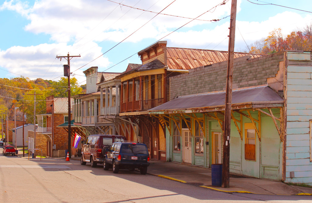
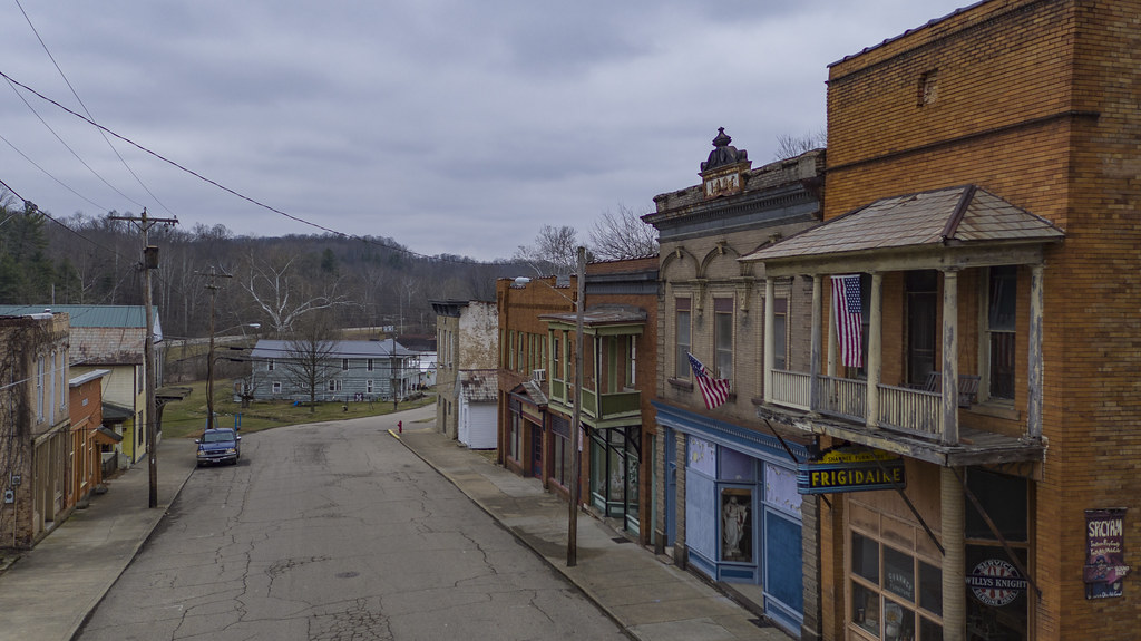
Downtown Shawnee
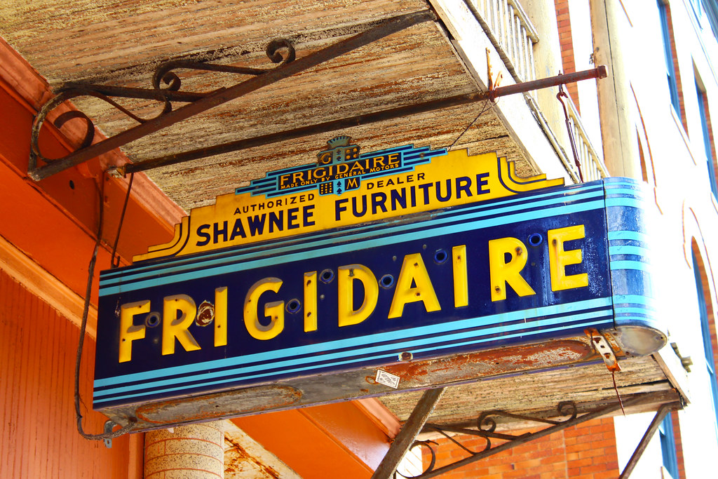
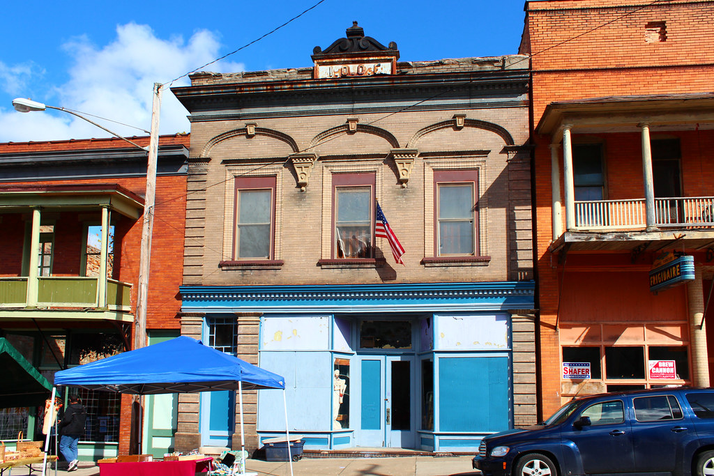
Shawnee Frigidaire Sign
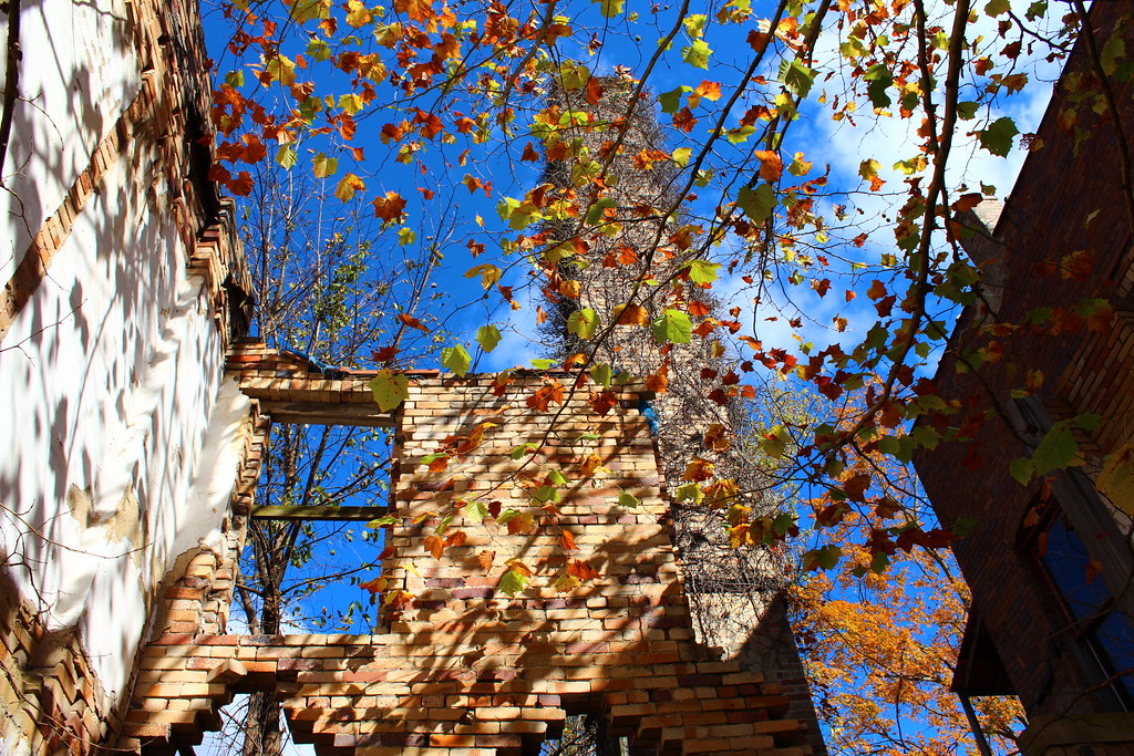
Between These 4 Walls
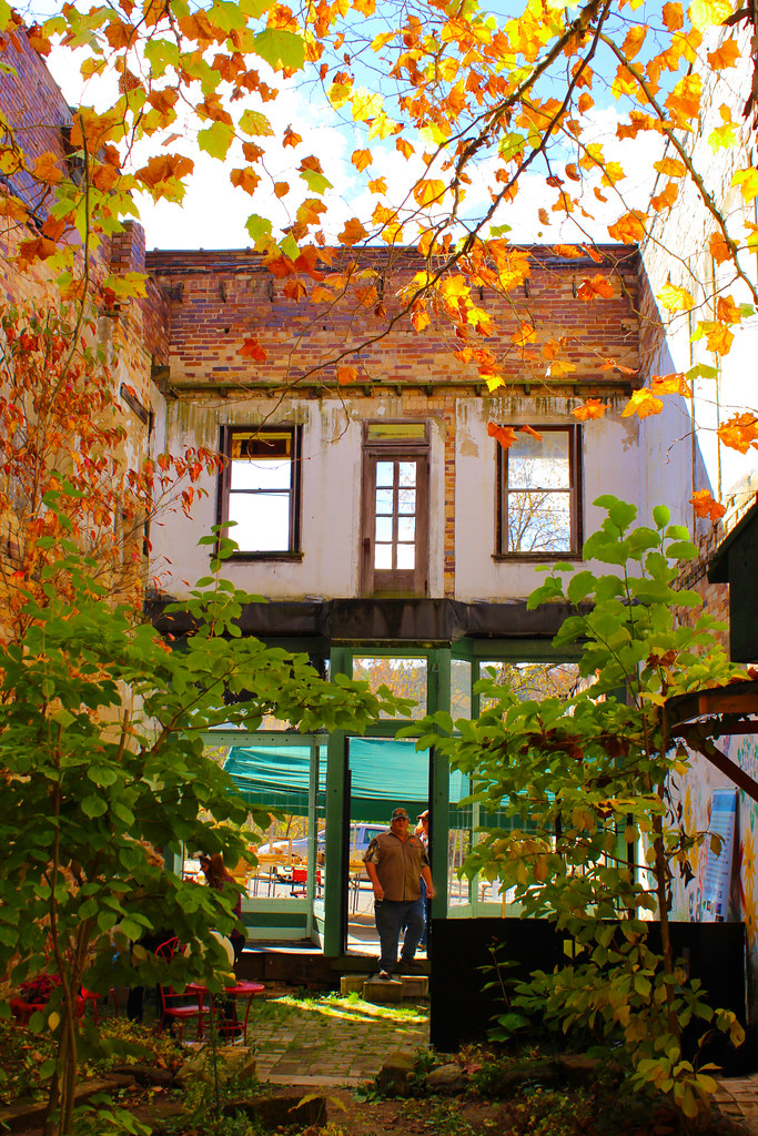
Autumn in Shawnee
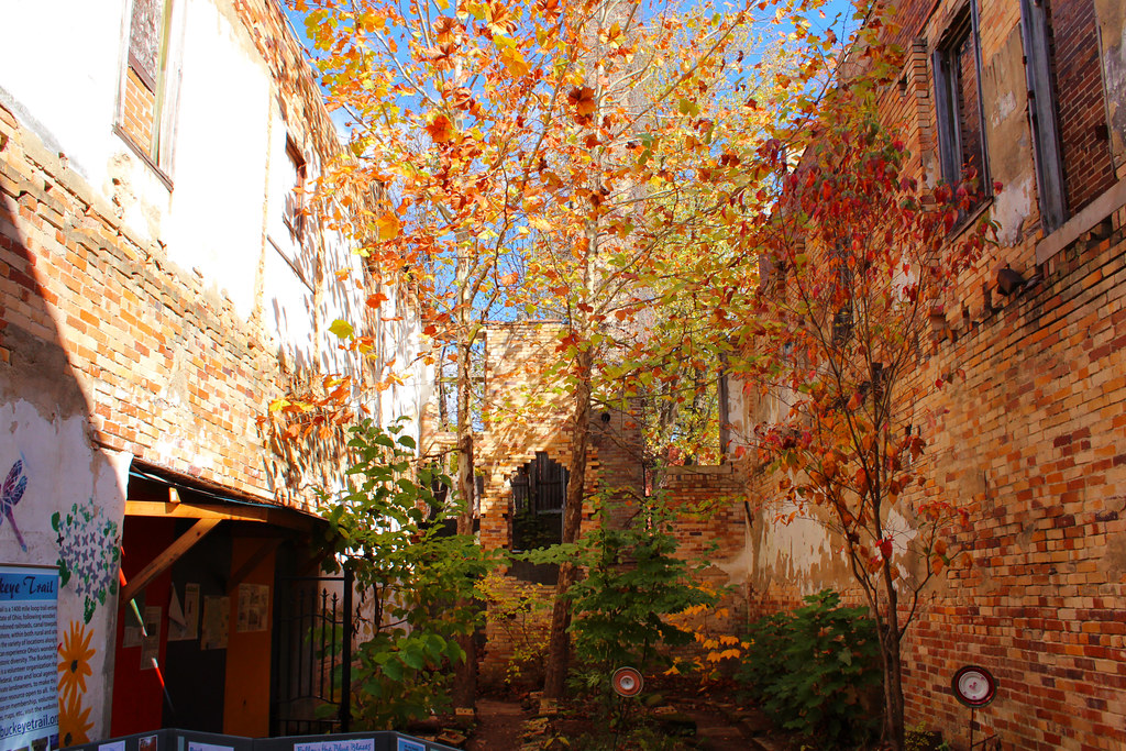
Shawnee Garden
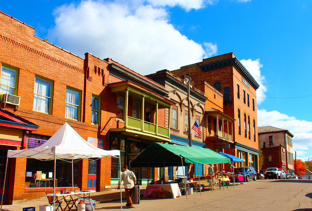
Main Street Shawnee
Shawnee Odd Fellows Lodge
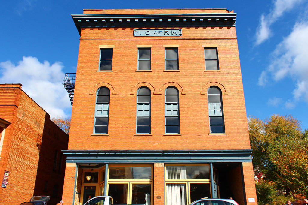
Improved Order of Red Men Lodge

Main Street Shawnee
Main & 2nd

Burr Oak State Park
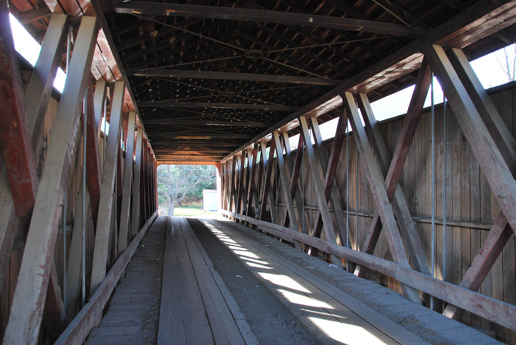
Kidwell Covered Bridge
Adams-San Toy Covered Bridge
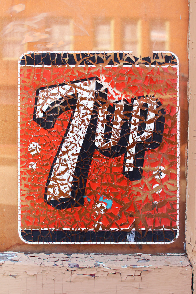
Make 7 Up Yours
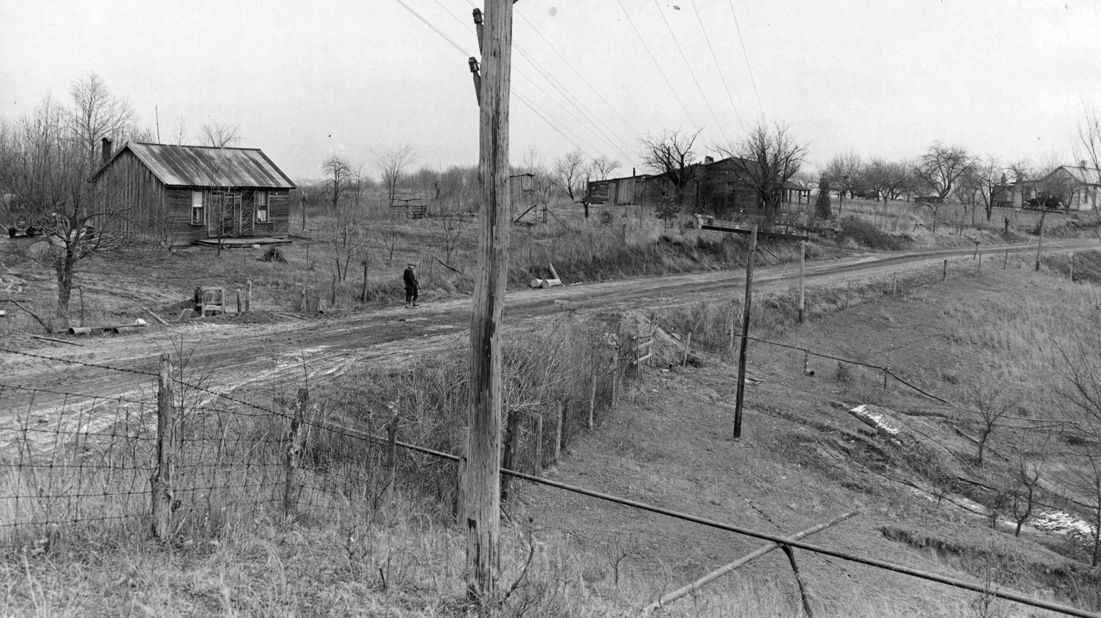
Andrews, Green, and Rush Houses — New Straitsville, Ohio
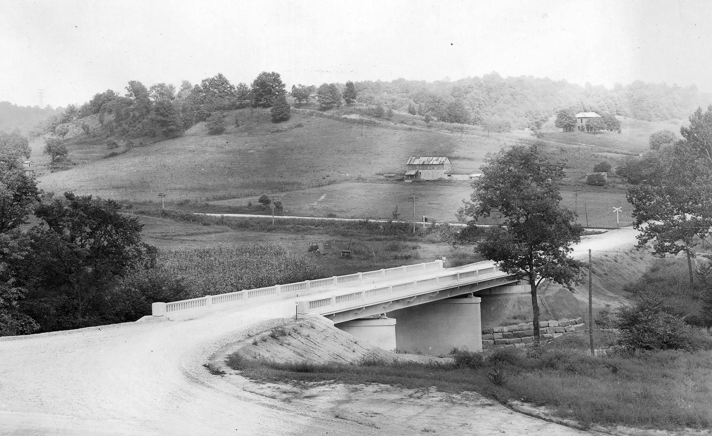
Bridge and Farm — Trimble Township, Athens County, Ohio
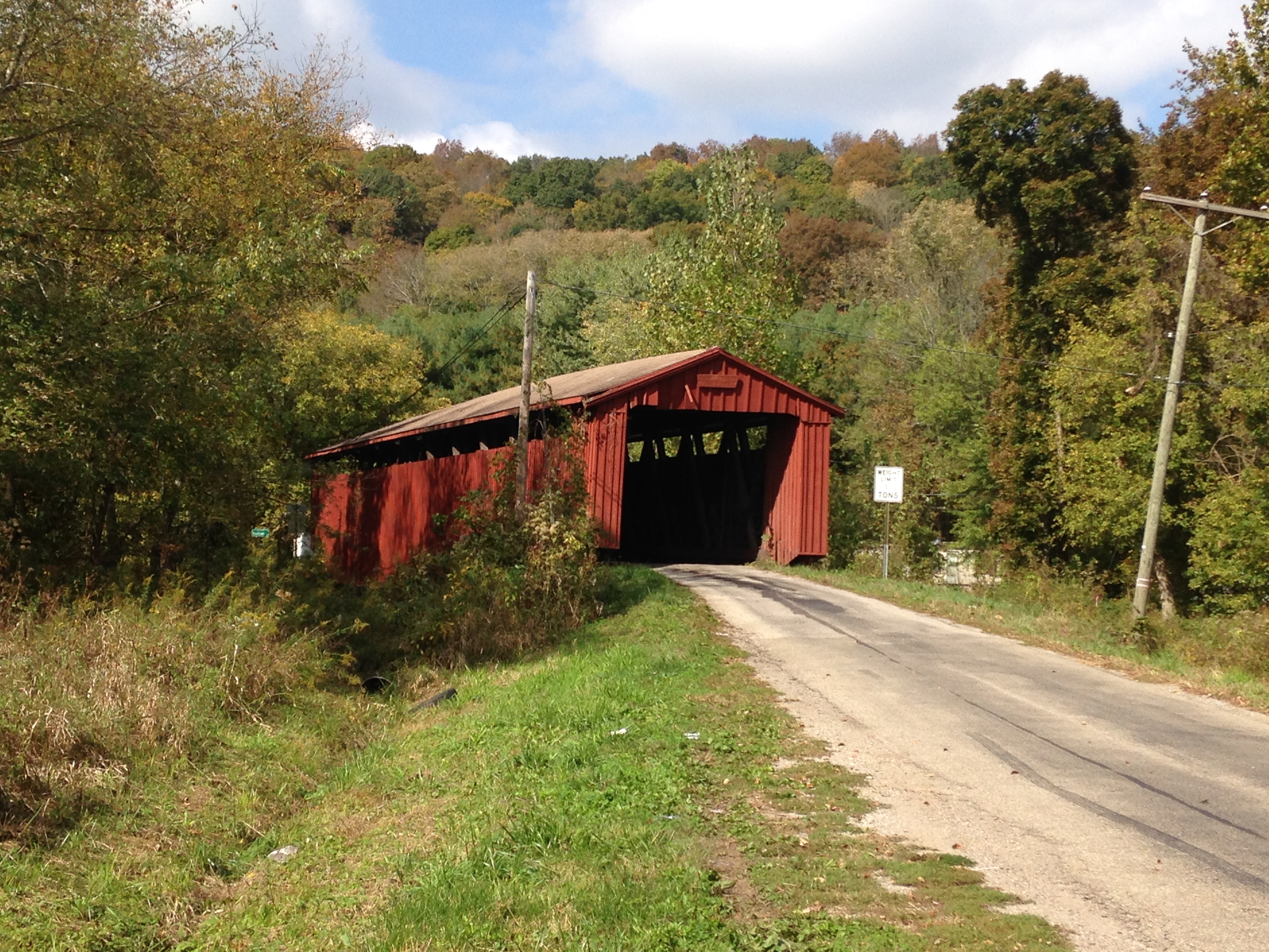
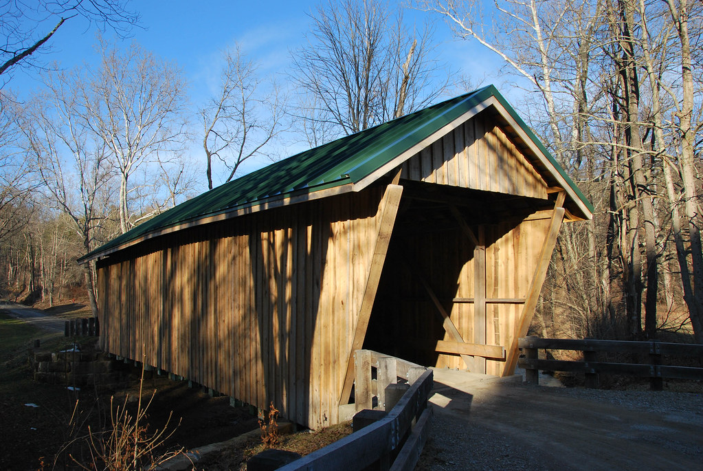
Kidwell Covered Bridge, Athens County, OH
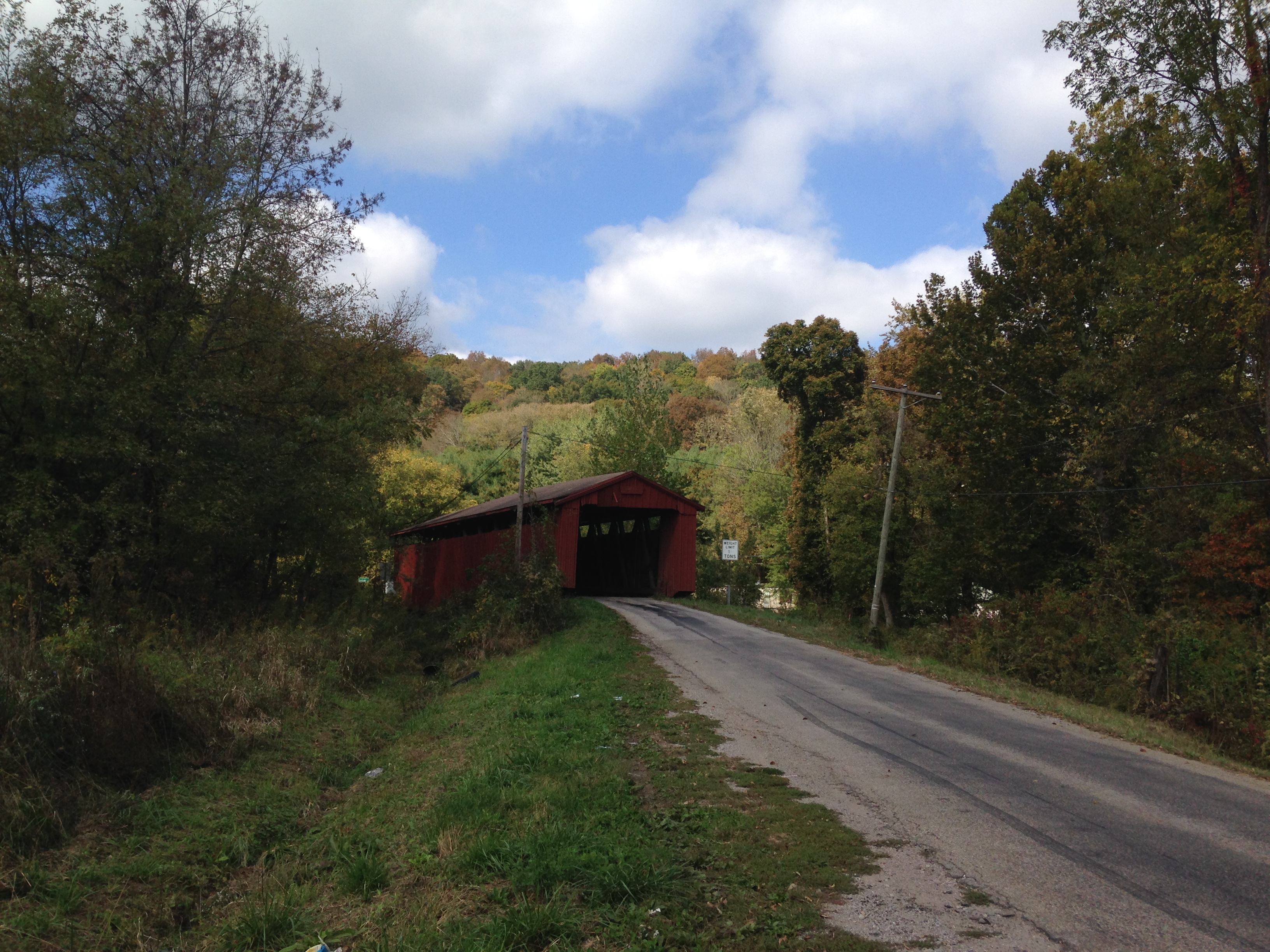
Kidwell Covered Bridge, Athens County, OH
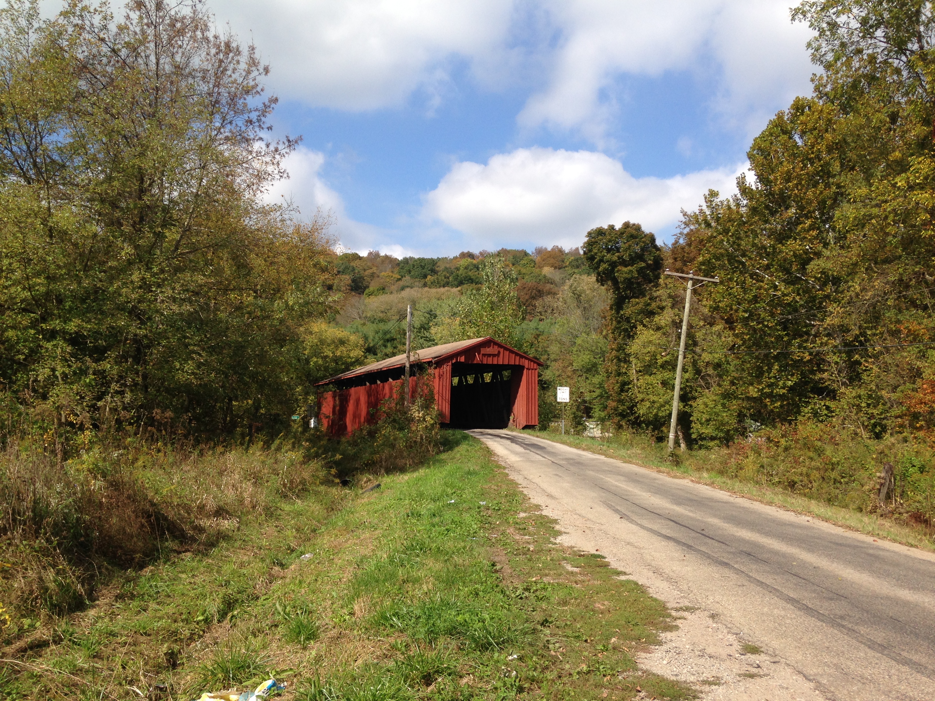
Kidwell Covered Bridge, Athens County, OH
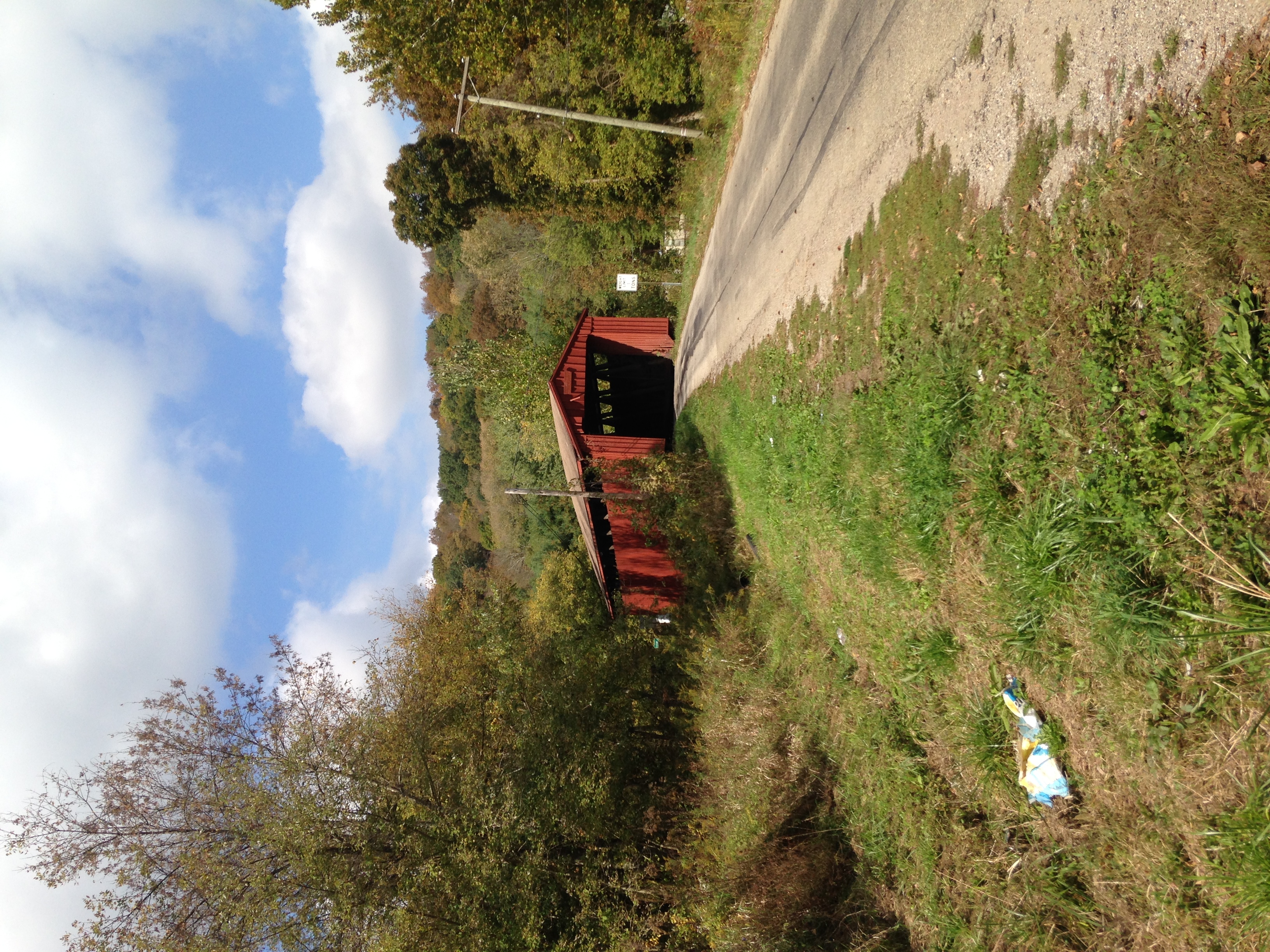
Kidwell Covered Bridge, Athens County, OH
Mapa de Burr Oak Rd, Glouster, OH, EE. UU.
Buscar otro lugar
Lugares cercanos
Oakdale Road, Oakdale Rd, Glouster, OH, EE. UU.
Moore Rd, Glouster, OH, EE. UU.
Municipio de Trimble, Ohio, EE. UU.
Glouster, Ohio, EE. UU.
Municipio de Monroe, Ohio, EE. UU.
OH-78, Glouster, OH, EE. UU.
OH-78 Scenic, Malta, OH, EE. UU.
Municipio de Homer, Ohio, EE. UU.
Irish Ridge Rd SE, Corning, OH, EE. UU.
Township Rd SE, Corning, OH, EE. UU.
Pascal Rd, Malta, OH, EE. UU.
Pounds Rd, Chesterhill, OH, EE. UU.
Municipio de Union, Ohio, EE. UU.
OH-, Malta, OH, EE. UU.
OH-, Chesterhill, OH, EE. UU.
OH-, Chesterhill, OH, EE. UU.
Millfield, Ohio, EE. UU.
Morganville, OH, EE. UU.
Brandeberry Rd, Malta, OH, EE. UU.
Municipio de Bearfield, Ohio, EE. UU.
Búsquedas recientes
- Horas de salida y puesta de sol de Red Dog Mine, AK, USA
- Horas de salida y puesta de sol de Am Bahnhof, Am bhf, Borken, Germany
- Horas de salida y puesta de sol de 4th St E, Sonoma, CA, EE. UU.
- Horas de salida y puesta de sol de Oakland Ave, Williamsport, PA, EE. UU.
- Horas de salida y puesta de sol de Via Roma, Pieranica CR, Italia
- Horas de salida y puesta de sol de Torre del reloj, Grad, Dubrovnik (Ragusa), Croacia
- Horas de salida y puesta de sol de Trelew, Chubut, Argentina
- Horas de salida y puesta de sol de Hartfords Bluff Cir, Mt Pleasant, SC, EE. UU.
- Horas de salida y puesta de sol de Kita Ward, Kumamoto, Japón
- Horas de salida y puesta de sol de Pingtan Island, Pingtan County, Fuzhou, China