Horas de salida y puesta de sol de Condado de Bollinger, Misuri, EE. UU.
Location: Estados Unidos > Misuri >
Zona horaria:
America/Chicago
Hora local:
2025-06-21 05:50:33
Longitud:
-90.0746767
Latitud:
37.2115595
Salida de sol de hoy:
05:40:28 AM
Puesta de sol de hoy:
08:24:03 PM
La duración del día hoy:
14h 43m 35s
Salida de sol de mañana:
05:40:44 AM
Puesta de sol de mañana:
08:24:14 PM
La duración del día mañana:
14h 43m 30s
Mostrar todas las fechas
| Fecha | Salida de sol | Puesta de sol | Duración del día |
|---|---|---|---|
| 01/01/2025 | 07:14:14 AM | 04:54:39 PM | 9h 40m 25s |
| 02/01/2025 | 07:14:20 AM | 04:55:28 PM | 9h 41m 8s |
| 03/01/2025 | 07:14:24 AM | 04:56:19 PM | 9h 41m 55s |
| 04/01/2025 | 07:14:26 AM | 04:57:11 PM | 9h 42m 45s |
| 05/01/2025 | 07:14:25 AM | 04:58:04 PM | 9h 43m 39s |
| 06/01/2025 | 07:14:23 AM | 04:58:58 PM | 9h 44m 35s |
| 07/01/2025 | 07:14:19 AM | 04:59:53 PM | 9h 45m 34s |
| 08/01/2025 | 07:14:12 AM | 05:00:49 PM | 9h 46m 37s |
| 09/01/2025 | 07:14:04 AM | 05:01:46 PM | 9h 47m 42s |
| 10/01/2025 | 07:13:53 AM | 05:02:44 PM | 9h 48m 51s |
| 11/01/2025 | 07:13:41 AM | 05:03:42 PM | 9h 50m 1s |
| 12/01/2025 | 07:13:26 AM | 05:04:42 PM | 9h 51m 16s |
| 13/01/2025 | 07:13:10 AM | 05:05:42 PM | 9h 52m 32s |
| 14/01/2025 | 07:12:51 AM | 05:06:43 PM | 9h 53m 52s |
| 15/01/2025 | 07:12:31 AM | 05:07:44 PM | 9h 55m 13s |
| 16/01/2025 | 07:12:08 AM | 05:08:47 PM | 9h 56m 39s |
| 17/01/2025 | 07:11:44 AM | 05:09:49 PM | 9h 58m 5s |
| 18/01/2025 | 07:11:17 AM | 05:10:52 PM | 9h 59m 35s |
| 19/01/2025 | 07:10:49 AM | 05:11:56 PM | 10h 1m 7s |
| 20/01/2025 | 07:10:19 AM | 05:13:00 PM | 10h 2m 41s |
| 21/01/2025 | 07:09:47 AM | 05:14:04 PM | 10h 4m 17s |
| 22/01/2025 | 07:09:13 AM | 05:15:09 PM | 10h 5m 56s |
| 23/01/2025 | 07:08:37 AM | 05:16:14 PM | 10h 7m 37s |
| 24/01/2025 | 07:07:59 AM | 05:17:19 PM | 10h 9m 20s |
| 25/01/2025 | 07:07:20 AM | 05:18:24 PM | 10h 11m 4s |
| 26/01/2025 | 07:06:39 AM | 05:19:30 PM | 10h 12m 51s |
| 27/01/2025 | 07:05:56 AM | 05:20:35 PM | 10h 14m 39s |
| 28/01/2025 | 07:05:11 AM | 05:21:41 PM | 10h 16m 30s |
| 29/01/2025 | 07:04:25 AM | 05:22:47 PM | 10h 18m 22s |
| 30/01/2025 | 07:03:37 AM | 05:23:53 PM | 10h 20m 16s |
| 31/01/2025 | 07:02:47 AM | 05:24:58 PM | 10h 22m 11s |
| 01/02/2025 | 07:01:56 AM | 05:26:04 PM | 10h 24m 8s |
| 02/02/2025 | 07:01:03 AM | 05:27:10 PM | 10h 26m 7s |
| 03/02/2025 | 07:00:09 AM | 05:28:15 PM | 10h 28m 6s |
| 04/02/2025 | 06:59:13 AM | 05:29:21 PM | 10h 30m 8s |
| 05/02/2025 | 06:58:16 AM | 05:30:26 PM | 10h 32m 10s |
| 06/02/2025 | 06:57:17 AM | 05:31:31 PM | 10h 34m 14s |
| 07/02/2025 | 06:56:17 AM | 05:32:36 PM | 10h 36m 19s |
| 08/02/2025 | 06:55:15 AM | 05:33:41 PM | 10h 38m 26s |
| 09/02/2025 | 06:54:12 AM | 05:34:46 PM | 10h 40m 34s |
| 10/02/2025 | 06:53:08 AM | 05:35:50 PM | 10h 42m 42s |
| 11/02/2025 | 06:52:03 AM | 05:36:54 PM | 10h 44m 51s |
| 12/02/2025 | 06:50:56 AM | 05:37:58 PM | 10h 47m 2s |
| 13/02/2025 | 06:49:48 AM | 05:39:02 PM | 10h 49m 14s |
| 14/02/2025 | 06:48:39 AM | 05:40:05 PM | 10h 51m 26s |
| 15/02/2025 | 06:47:29 AM | 05:41:08 PM | 10h 53m 39s |
| 16/02/2025 | 06:46:18 AM | 05:42:11 PM | 10h 55m 53s |
| 17/02/2025 | 06:45:05 AM | 05:43:13 PM | 10h 58m 8s |
| 18/02/2025 | 06:43:52 AM | 05:44:15 PM | 11h 0m 23s |
| 19/02/2025 | 06:42:38 AM | 05:45:17 PM | 11h 2m 39s |
| 20/02/2025 | 06:41:22 AM | 05:46:18 PM | 11h 4m 56s |
| 21/02/2025 | 06:40:06 AM | 05:47:20 PM | 11h 7m 14s |
| 22/02/2025 | 06:38:49 AM | 05:48:20 PM | 11h 9m 31s |
| 23/02/2025 | 06:37:30 AM | 05:49:21 PM | 11h 11m 51s |
| 24/02/2025 | 06:36:11 AM | 05:50:21 PM | 11h 14m 10s |
| 25/02/2025 | 06:34:52 AM | 05:51:21 PM | 11h 16m 29s |
| 26/02/2025 | 06:33:31 AM | 05:52:20 PM | 11h 18m 49s |
| 27/02/2025 | 06:32:10 AM | 05:53:20 PM | 11h 21m 10s |
| 28/02/2025 | 06:30:48 AM | 05:54:18 PM | 11h 23m 30s |
| 01/03/2025 | 06:29:25 AM | 05:55:17 PM | 11h 25m 52s |
| 02/03/2025 | 06:28:01 AM | 05:56:15 PM | 11h 28m 14s |
| 03/03/2025 | 06:26:37 AM | 05:57:13 PM | 11h 30m 36s |
| 04/03/2025 | 06:25:13 AM | 05:58:11 PM | 11h 32m 58s |
| 05/03/2025 | 06:23:48 AM | 05:59:08 PM | 11h 35m 20s |
| 06/03/2025 | 06:22:22 AM | 06:00:06 PM | 11h 37m 44s |
| 07/03/2025 | 06:20:56 AM | 06:01:02 PM | 11h 40m 6s |
| 08/03/2025 | 06:19:29 AM | 06:01:59 PM | 11h 42m 30s |
| 09/03/2025 | 07:18:06 AM | 07:02:53 PM | 11h 44m 47s |
| 10/03/2025 | 07:16:38 AM | 07:03:49 PM | 11h 47m 11s |
| 11/03/2025 | 07:15:10 AM | 07:04:45 PM | 11h 49m 35s |
| 12/03/2025 | 07:13:42 AM | 07:05:41 PM | 11h 51m 59s |
| 13/03/2025 | 07:12:14 AM | 07:06:36 PM | 11h 54m 22s |
| 14/03/2025 | 07:10:45 AM | 07:07:31 PM | 11h 56m 46s |
| 15/03/2025 | 07:09:16 AM | 07:08:26 PM | 11h 59m 10s |
| 16/03/2025 | 07:07:47 AM | 07:09:21 PM | 12h 1m 34s |
| 17/03/2025 | 07:06:17 AM | 07:10:16 PM | 12h 3m 59s |
| 18/03/2025 | 07:04:48 AM | 07:11:10 PM | 12h 6m 22s |
| 19/03/2025 | 07:03:18 AM | 07:12:05 PM | 12h 8m 47s |
| 20/03/2025 | 07:01:48 AM | 07:12:59 PM | 12h 11m 11s |
| 21/03/2025 | 07:00:18 AM | 07:13:53 PM | 12h 13m 35s |
| 22/03/2025 | 06:58:48 AM | 07:14:47 PM | 12h 15m 59s |
| 23/03/2025 | 06:57:18 AM | 07:15:41 PM | 12h 18m 23s |
| 24/03/2025 | 06:55:48 AM | 07:16:34 PM | 12h 20m 46s |
| 25/03/2025 | 06:54:19 AM | 07:17:28 PM | 12h 23m 9s |
| 26/03/2025 | 06:52:49 AM | 07:18:21 PM | 12h 25m 32s |
| 27/03/2025 | 06:51:19 AM | 07:19:15 PM | 12h 27m 56s |
| 28/03/2025 | 06:49:50 AM | 07:20:08 PM | 12h 30m 18s |
| 29/03/2025 | 06:48:20 AM | 07:21:02 PM | 12h 32m 42s |
| 30/03/2025 | 06:46:51 AM | 07:21:55 PM | 12h 35m 4s |
| 31/03/2025 | 06:45:22 AM | 07:22:48 PM | 12h 37m 26s |
| 01/04/2025 | 06:43:54 AM | 07:23:42 PM | 12h 39m 48s |
| 02/04/2025 | 06:42:25 AM | 07:24:35 PM | 12h 42m 10s |
| 03/04/2025 | 06:40:57 AM | 07:25:28 PM | 12h 44m 31s |
| 04/04/2025 | 06:39:29 AM | 07:26:22 PM | 12h 46m 53s |
| 05/04/2025 | 06:38:02 AM | 07:27:15 PM | 12h 49m 13s |
| 06/04/2025 | 06:36:35 AM | 07:28:08 PM | 12h 51m 33s |
| 07/04/2025 | 06:35:09 AM | 07:29:01 PM | 12h 53m 52s |
| 08/04/2025 | 06:33:43 AM | 07:29:55 PM | 12h 56m 12s |
| 09/04/2025 | 06:32:17 AM | 07:30:48 PM | 12h 58m 31s |
| 10/04/2025 | 06:30:52 AM | 07:31:41 PM | 13h 0m 49s |
| 11/04/2025 | 06:29:27 AM | 07:32:35 PM | 13h 3m 8s |
| 12/04/2025 | 06:28:04 AM | 07:33:28 PM | 13h 5m 24s |
| 13/04/2025 | 06:26:40 AM | 07:34:22 PM | 13h 7m 42s |
| 14/04/2025 | 06:25:18 AM | 07:35:16 PM | 13h 9m 58s |
| 15/04/2025 | 06:23:56 AM | 07:36:09 PM | 13h 12m 13s |
| 16/04/2025 | 06:22:35 AM | 07:37:03 PM | 13h 14m 28s |
| 17/04/2025 | 06:21:14 AM | 07:37:57 PM | 13h 16m 43s |
| 18/04/2025 | 06:19:54 AM | 07:38:50 PM | 13h 18m 56s |
| 19/04/2025 | 06:18:35 AM | 07:39:44 PM | 13h 21m 9s |
| 20/04/2025 | 06:17:17 AM | 07:40:38 PM | 13h 23m 21s |
| 21/04/2025 | 06:16:00 AM | 07:41:32 PM | 13h 25m 32s |
| 22/04/2025 | 06:14:44 AM | 07:42:26 PM | 13h 27m 42s |
| 23/04/2025 | 06:13:28 AM | 07:43:20 PM | 13h 29m 52s |
| 24/04/2025 | 06:12:13 AM | 07:44:14 PM | 13h 32m 1s |
| 25/04/2025 | 06:11:00 AM | 07:45:07 PM | 13h 34m 7s |
| 26/04/2025 | 06:09:47 AM | 07:46:01 PM | 13h 36m 14s |
| 27/04/2025 | 06:08:36 AM | 07:46:55 PM | 13h 38m 19s |
| 28/04/2025 | 06:07:25 AM | 07:47:49 PM | 13h 40m 24s |
| 29/04/2025 | 06:06:16 AM | 07:48:43 PM | 13h 42m 27s |
| 30/04/2025 | 06:05:08 AM | 07:49:37 PM | 13h 44m 29s |
| 01/05/2025 | 06:04:01 AM | 07:50:31 PM | 13h 46m 30s |
| 02/05/2025 | 06:02:55 AM | 07:51:24 PM | 13h 48m 29s |
| 03/05/2025 | 06:01:50 AM | 07:52:18 PM | 13h 50m 28s |
| 04/05/2025 | 06:00:46 AM | 07:53:11 PM | 13h 52m 25s |
| 05/05/2025 | 05:59:44 AM | 07:54:05 PM | 13h 54m 21s |
| 06/05/2025 | 05:58:43 AM | 07:54:58 PM | 13h 56m 15s |
| 07/05/2025 | 05:57:43 AM | 07:55:51 PM | 13h 58m 8s |
| 08/05/2025 | 05:56:45 AM | 07:56:43 PM | 13h 59m 58s |
| 09/05/2025 | 05:55:48 AM | 07:57:36 PM | 14h 1m 48s |
| 10/05/2025 | 05:54:53 AM | 07:58:28 PM | 14h 3m 35s |
| 11/05/2025 | 05:53:58 AM | 07:59:20 PM | 14h 5m 22s |
| 12/05/2025 | 05:53:06 AM | 08:00:12 PM | 14h 7m 6s |
| 13/05/2025 | 05:52:14 AM | 08:01:03 PM | 14h 8m 49s |
| 14/05/2025 | 05:51:25 AM | 08:01:54 PM | 14h 10m 29s |
| 15/05/2025 | 05:50:36 AM | 08:02:45 PM | 14h 12m 9s |
| 16/05/2025 | 05:49:50 AM | 08:03:35 PM | 14h 13m 45s |
| 17/05/2025 | 05:49:05 AM | 08:04:25 PM | 14h 15m 20s |
| 18/05/2025 | 05:48:21 AM | 08:05:14 PM | 14h 16m 53s |
| 19/05/2025 | 05:47:39 AM | 08:06:03 PM | 14h 18m 24s |
| 20/05/2025 | 05:46:59 AM | 08:06:52 PM | 14h 19m 53s |
| 21/05/2025 | 05:46:20 AM | 08:07:39 PM | 14h 21m 19s |
| 22/05/2025 | 05:45:43 AM | 08:08:26 PM | 14h 22m 43s |
| 23/05/2025 | 05:45:07 AM | 08:09:13 PM | 14h 24m 6s |
| 24/05/2025 | 05:44:34 AM | 08:09:58 PM | 14h 25m 24s |
| 25/05/2025 | 05:44:02 AM | 08:10:44 PM | 14h 26m 42s |
| 26/05/2025 | 05:43:31 AM | 08:11:28 PM | 14h 27m 57s |
| 27/05/2025 | 05:43:03 AM | 08:12:11 PM | 14h 29m 8s |
| 28/05/2025 | 05:42:36 AM | 08:12:54 PM | 14h 30m 18s |
| 29/05/2025 | 05:42:11 AM | 08:13:36 PM | 14h 31m 25s |
| 30/05/2025 | 05:41:48 AM | 08:14:16 PM | 14h 32m 28s |
| 31/05/2025 | 05:41:26 AM | 08:14:56 PM | 14h 33m 30s |
| 01/06/2025 | 05:41:06 AM | 08:15:35 PM | 14h 34m 29s |
| 02/06/2025 | 05:40:48 AM | 08:16:13 PM | 14h 35m 25s |
| 03/06/2025 | 05:40:32 AM | 08:16:50 PM | 14h 36m 18s |
| 04/06/2025 | 05:40:17 AM | 08:17:26 PM | 14h 37m 9s |
| 05/06/2025 | 05:40:05 AM | 08:18:00 PM | 14h 37m 55s |
| 06/06/2025 | 05:39:54 AM | 08:18:33 PM | 14h 38m 39s |
| 07/06/2025 | 05:39:45 AM | 08:19:06 PM | 14h 39m 21s |
| 08/06/2025 | 05:39:37 AM | 08:19:36 PM | 14h 39m 59s |
| 09/06/2025 | 05:39:31 AM | 08:20:06 PM | 14h 40m 35s |
| 10/06/2025 | 05:39:28 AM | 08:20:34 PM | 14h 41m 6s |
| 11/06/2025 | 05:39:25 AM | 08:21:01 PM | 14h 41m 36s |
| 12/06/2025 | 05:39:25 AM | 08:21:27 PM | 14h 42m 2s |
| 13/06/2025 | 05:39:26 AM | 08:21:51 PM | 14h 42m 25s |
| 14/06/2025 | 05:39:29 AM | 08:22:14 PM | 14h 42m 45s |
| 15/06/2025 | 05:39:34 AM | 08:22:35 PM | 14h 43m 1s |
| 16/06/2025 | 05:39:40 AM | 08:22:54 PM | 14h 43m 14s |
| 17/06/2025 | 05:39:48 AM | 08:23:12 PM | 14h 43m 24s |
| 18/06/2025 | 05:39:58 AM | 08:23:29 PM | 14h 43m 31s |
| 19/06/2025 | 05:40:09 AM | 08:23:44 PM | 14h 43m 35s |
| 20/06/2025 | 05:40:22 AM | 08:23:57 PM | 14h 43m 35s |
| 21/06/2025 | 05:40:36 AM | 08:24:09 PM | 14h 43m 33s |
| 22/06/2025 | 05:40:52 AM | 08:24:19 PM | 14h 43m 27s |
| 23/06/2025 | 05:41:10 AM | 08:24:27 PM | 14h 43m 17s |
| 24/06/2025 | 05:41:29 AM | 08:24:34 PM | 14h 43m 5s |
| 25/06/2025 | 05:41:49 AM | 08:24:39 PM | 14h 42m 50s |
| 26/06/2025 | 05:42:11 AM | 08:24:42 PM | 14h 42m 31s |
| 27/06/2025 | 05:42:34 AM | 08:24:43 PM | 14h 42m 9s |
| 28/06/2025 | 05:42:59 AM | 08:24:43 PM | 14h 41m 44s |
| 29/06/2025 | 05:43:25 AM | 08:24:40 PM | 14h 41m 15s |
| 30/06/2025 | 05:43:52 AM | 08:24:36 PM | 14h 40m 44s |
| 01/07/2025 | 05:44:20 AM | 08:24:31 PM | 14h 40m 11s |
| 02/07/2025 | 05:44:50 AM | 08:24:23 PM | 14h 39m 33s |
| 03/07/2025 | 05:45:21 AM | 08:24:14 PM | 14h 38m 53s |
| 04/07/2025 | 05:45:53 AM | 08:24:02 PM | 14h 38m 9s |
| 05/07/2025 | 05:46:26 AM | 08:23:49 PM | 14h 37m 23s |
| 06/07/2025 | 05:47:00 AM | 08:23:35 PM | 14h 36m 35s |
| 07/07/2025 | 05:47:36 AM | 08:23:18 PM | 14h 35m 42s |
| 08/07/2025 | 05:48:12 AM | 08:22:59 PM | 14h 34m 47s |
| 09/07/2025 | 05:48:49 AM | 08:22:39 PM | 14h 33m 50s |
| 10/07/2025 | 05:49:27 AM | 08:22:17 PM | 14h 32m 50s |
| 11/07/2025 | 05:50:06 AM | 08:21:53 PM | 14h 31m 47s |
| 12/07/2025 | 05:50:46 AM | 08:21:27 PM | 14h 30m 41s |
| 13/07/2025 | 05:51:27 AM | 08:21:00 PM | 14h 29m 33s |
| 14/07/2025 | 05:52:08 AM | 08:20:31 PM | 14h 28m 23s |
| 15/07/2025 | 05:52:51 AM | 08:20:00 PM | 14h 27m 9s |
| 16/07/2025 | 05:53:34 AM | 08:19:27 PM | 14h 25m 53s |
| 17/07/2025 | 05:54:17 AM | 08:18:53 PM | 14h 24m 36s |
| 18/07/2025 | 05:55:01 AM | 08:18:17 PM | 14h 23m 16s |
| 19/07/2025 | 05:55:46 AM | 08:17:39 PM | 14h 21m 53s |
| 20/07/2025 | 05:56:32 AM | 08:16:59 PM | 14h 20m 27s |
| 21/07/2025 | 05:57:17 AM | 08:16:18 PM | 14h 19m 1s |
| 22/07/2025 | 05:58:04 AM | 08:15:35 PM | 14h 17m 31s |
| 23/07/2025 | 05:58:51 AM | 08:14:51 PM | 14h 16m 0s |
| 24/07/2025 | 05:59:38 AM | 08:14:05 PM | 14h 14m 27s |
| 25/07/2025 | 06:00:25 AM | 08:13:17 PM | 14h 12m 52s |
| 26/07/2025 | 06:01:13 AM | 08:12:28 PM | 14h 11m 15s |
| 27/07/2025 | 06:02:02 AM | 08:11:37 PM | 14h 9m 35s |
| 28/07/2025 | 06:02:50 AM | 08:10:45 PM | 14h 7m 55s |
| 29/07/2025 | 06:03:39 AM | 08:09:51 PM | 14h 6m 12s |
| 30/07/2025 | 06:04:28 AM | 08:08:56 PM | 14h 4m 28s |
| 31/07/2025 | 06:05:18 AM | 08:07:59 PM | 14h 2m 41s |
| 01/08/2025 | 06:06:07 AM | 08:07:01 PM | 14h 0m 54s |
| 02/08/2025 | 06:06:57 AM | 08:06:01 PM | 13h 59m 4s |
| 03/08/2025 | 06:07:47 AM | 08:05:01 PM | 13h 57m 14s |
| 04/08/2025 | 06:08:37 AM | 08:03:59 PM | 13h 55m 22s |
| 05/08/2025 | 06:09:27 AM | 08:02:55 PM | 13h 53m 28s |
| 06/08/2025 | 06:10:17 AM | 08:01:50 PM | 13h 51m 33s |
| 07/08/2025 | 06:11:07 AM | 08:00:44 PM | 13h 49m 37s |
| 08/08/2025 | 06:11:58 AM | 07:59:37 PM | 13h 47m 39s |
| 09/08/2025 | 06:12:48 AM | 07:58:29 PM | 13h 45m 41s |
| 10/08/2025 | 06:13:38 AM | 07:57:19 PM | 13h 43m 41s |
| 11/08/2025 | 06:14:29 AM | 07:56:09 PM | 13h 41m 40s |
| 12/08/2025 | 06:15:19 AM | 07:54:57 PM | 13h 39m 38s |
| 13/08/2025 | 06:16:10 AM | 07:53:44 PM | 13h 37m 34s |
| 14/08/2025 | 06:17:00 AM | 07:52:30 PM | 13h 35m 30s |
| 15/08/2025 | 06:17:50 AM | 07:51:15 PM | 13h 33m 25s |
| 16/08/2025 | 06:18:41 AM | 07:49:59 PM | 13h 31m 18s |
| 17/08/2025 | 06:19:31 AM | 07:48:42 PM | 13h 29m 11s |
| 18/08/2025 | 06:20:21 AM | 07:47:24 PM | 13h 27m 3s |
| 19/08/2025 | 06:21:11 AM | 07:46:06 PM | 13h 24m 55s |
| 20/08/2025 | 06:22:01 AM | 07:44:46 PM | 13h 22m 45s |
| 21/08/2025 | 06:22:51 AM | 07:43:25 PM | 13h 20m 34s |
| 22/08/2025 | 06:23:41 AM | 07:42:04 PM | 13h 18m 23s |
| 23/08/2025 | 06:24:31 AM | 07:40:42 PM | 13h 16m 11s |
| 24/08/2025 | 06:25:21 AM | 07:39:19 PM | 13h 13m 58s |
| 25/08/2025 | 06:26:10 AM | 07:37:56 PM | 13h 11m 46s |
| 26/08/2025 | 06:27:00 AM | 07:36:32 PM | 13h 9m 32s |
| 27/08/2025 | 06:27:49 AM | 07:35:07 PM | 13h 7m 18s |
| 28/08/2025 | 06:28:39 AM | 07:33:41 PM | 13h 5m 2s |
| 29/08/2025 | 06:29:28 AM | 07:32:15 PM | 13h 2m 47s |
| 30/08/2025 | 06:30:17 AM | 07:30:48 PM | 13h 0m 31s |
| 31/08/2025 | 06:31:07 AM | 07:29:21 PM | 12h 58m 14s |
| 01/09/2025 | 06:31:56 AM | 07:27:53 PM | 12h 55m 57s |
| 02/09/2025 | 06:32:45 AM | 07:26:25 PM | 12h 53m 40s |
| 03/09/2025 | 06:33:34 AM | 07:24:56 PM | 12h 51m 22s |
| 04/09/2025 | 06:34:23 AM | 07:23:27 PM | 12h 49m 4s |
| 05/09/2025 | 06:35:12 AM | 07:21:57 PM | 12h 46m 45s |
| 06/09/2025 | 06:36:01 AM | 07:20:28 PM | 12h 44m 27s |
| 07/09/2025 | 06:36:50 AM | 07:18:57 PM | 12h 42m 7s |
| 08/09/2025 | 06:37:39 AM | 07:17:27 PM | 12h 39m 48s |
| 09/09/2025 | 06:38:28 AM | 07:15:56 PM | 12h 37m 28s |
| 10/09/2025 | 06:39:17 AM | 07:14:25 PM | 12h 35m 8s |
| 11/09/2025 | 06:40:06 AM | 07:12:53 PM | 12h 32m 47s |
| 12/09/2025 | 06:40:55 AM | 07:11:22 PM | 12h 30m 27s |
| 13/09/2025 | 06:41:44 AM | 07:09:50 PM | 12h 28m 6s |
| 14/09/2025 | 06:42:33 AM | 07:08:18 PM | 12h 25m 45s |
| 15/09/2025 | 06:43:22 AM | 07:06:46 PM | 12h 23m 24s |
| 16/09/2025 | 06:44:11 AM | 07:05:14 PM | 12h 21m 3s |
| 17/09/2025 | 06:45:00 AM | 07:03:42 PM | 12h 18m 42s |
| 18/09/2025 | 06:45:50 AM | 07:02:10 PM | 12h 16m 20s |
| 19/09/2025 | 06:46:39 AM | 07:00:37 PM | 12h 13m 58s |
| 20/09/2025 | 06:47:29 AM | 06:59:05 PM | 12h 11m 36s |
| 21/09/2025 | 06:48:18 AM | 06:57:33 PM | 12h 9m 15s |
| 22/09/2025 | 06:49:08 AM | 06:56:01 PM | 12h 6m 53s |
| 23/09/2025 | 06:49:58 AM | 06:54:29 PM | 12h 4m 31s |
| 24/09/2025 | 06:50:48 AM | 06:52:58 PM | 12h 2m 10s |
| 25/09/2025 | 06:51:39 AM | 06:51:26 PM | 11h 59m 47s |
| 26/09/2025 | 06:52:29 AM | 06:49:55 PM | 11h 57m 26s |
| 27/09/2025 | 06:53:20 AM | 06:48:24 PM | 11h 55m 4s |
| 28/09/2025 | 06:54:11 AM | 06:46:53 PM | 11h 52m 42s |
| 29/09/2025 | 06:55:02 AM | 06:45:22 PM | 11h 50m 20s |
| 30/09/2025 | 06:55:53 AM | 06:43:52 PM | 11h 47m 59s |
| 01/10/2025 | 06:56:45 AM | 06:42:22 PM | 11h 45m 37s |
| 02/10/2025 | 06:57:37 AM | 06:40:53 PM | 11h 43m 16s |
| 03/10/2025 | 06:58:29 AM | 06:39:24 PM | 11h 40m 55s |
| 04/10/2025 | 06:59:21 AM | 06:37:55 PM | 11h 38m 34s |
| 05/10/2025 | 07:00:14 AM | 06:36:27 PM | 11h 36m 13s |
| 06/10/2025 | 07:01:07 AM | 06:34:59 PM | 11h 33m 52s |
| 07/10/2025 | 07:02:00 AM | 06:33:32 PM | 11h 31m 32s |
| 08/10/2025 | 07:02:54 AM | 06:32:06 PM | 11h 29m 12s |
| 09/10/2025 | 07:03:47 AM | 06:30:40 PM | 11h 26m 53s |
| 10/10/2025 | 07:04:42 AM | 06:29:15 PM | 11h 24m 33s |
| 11/10/2025 | 07:05:36 AM | 06:27:50 PM | 11h 22m 14s |
| 12/10/2025 | 07:06:31 AM | 06:26:26 PM | 11h 19m 55s |
| 13/10/2025 | 07:07:26 AM | 06:25:03 PM | 11h 17m 37s |
| 14/10/2025 | 07:08:21 AM | 06:23:41 PM | 11h 15m 20s |
| 15/10/2025 | 07:09:17 AM | 06:22:19 PM | 11h 13m 2s |
| 16/10/2025 | 07:10:13 AM | 06:20:58 PM | 11h 10m 45s |
| 17/10/2025 | 07:11:10 AM | 06:19:38 PM | 11h 8m 28s |
| 18/10/2025 | 07:12:07 AM | 06:18:19 PM | 11h 6m 12s |
| 19/10/2025 | 07:13:04 AM | 06:17:01 PM | 11h 3m 57s |
| 20/10/2025 | 07:14:02 AM | 06:15:44 PM | 11h 1m 42s |
| 21/10/2025 | 07:15:00 AM | 06:14:28 PM | 10h 59m 28s |
| 22/10/2025 | 07:15:58 AM | 06:13:12 PM | 10h 57m 14s |
| 23/10/2025 | 07:16:56 AM | 06:11:58 PM | 10h 55m 2s |
| 24/10/2025 | 07:17:55 AM | 06:10:45 PM | 10h 52m 50s |
| 25/10/2025 | 07:18:55 AM | 06:09:33 PM | 10h 50m 38s |
| 26/10/2025 | 07:19:54 AM | 06:08:23 PM | 10h 48m 29s |
| 27/10/2025 | 07:20:54 AM | 06:07:13 PM | 10h 46m 19s |
| 28/10/2025 | 07:21:54 AM | 06:06:05 PM | 10h 44m 11s |
| 29/10/2025 | 07:22:55 AM | 06:04:57 PM | 10h 42m 2s |
| 30/10/2025 | 07:23:56 AM | 06:03:52 PM | 10h 39m 56s |
| 31/10/2025 | 07:24:57 AM | 06:02:47 PM | 10h 37m 50s |
| 01/11/2025 | 07:25:58 AM | 06:01:44 PM | 10h 35m 46s |
| 02/11/2025 | 06:27:02 AM | 05:00:40 PM | 10h 33m 38s |
| 03/11/2025 | 06:28:04 AM | 04:59:39 PM | 10h 31m 35s |
| 04/11/2025 | 06:29:06 AM | 04:58:40 PM | 10h 29m 34s |
| 05/11/2025 | 06:30:08 AM | 04:57:43 PM | 10h 27m 35s |
| 06/11/2025 | 06:31:11 AM | 04:56:47 PM | 10h 25m 36s |
| 07/11/2025 | 06:32:13 AM | 04:55:53 PM | 10h 23m 40s |
| 08/11/2025 | 06:33:16 AM | 04:55:00 PM | 10h 21m 44s |
| 09/11/2025 | 06:34:18 AM | 04:54:09 PM | 10h 19m 51s |
| 10/11/2025 | 06:35:21 AM | 04:53:19 PM | 10h 17m 58s |
| 11/11/2025 | 06:36:24 AM | 04:52:31 PM | 10h 16m 7s |
| 12/11/2025 | 06:37:27 AM | 04:51:45 PM | 10h 14m 18s |
| 13/11/2025 | 06:38:29 AM | 04:51:01 PM | 10h 12m 32s |
| 14/11/2025 | 06:39:32 AM | 04:50:18 PM | 10h 10m 46s |
| 15/11/2025 | 06:40:35 AM | 04:49:37 PM | 10h 9m 2s |
| 16/11/2025 | 06:41:37 AM | 04:48:58 PM | 10h 7m 21s |
| 17/11/2025 | 06:42:40 AM | 04:48:21 PM | 10h 5m 41s |
| 18/11/2025 | 06:43:42 AM | 04:47:46 PM | 10h 4m 4s |
| 19/11/2025 | 06:44:43 AM | 04:47:12 PM | 10h 2m 29s |
| 20/11/2025 | 06:45:45 AM | 04:46:40 PM | 10h 0m 55s |
| 21/11/2025 | 06:46:46 AM | 04:46:11 PM | 9h 59m 25s |
| 22/11/2025 | 06:47:47 AM | 04:45:43 PM | 9h 57m 56s |
| 23/11/2025 | 06:48:48 AM | 04:45:17 PM | 9h 56m 29s |
| 24/11/2025 | 06:49:48 AM | 04:44:53 PM | 9h 55m 5s |
| 25/11/2025 | 06:50:47 AM | 04:44:32 PM | 9h 53m 45s |
| 26/11/2025 | 06:51:46 AM | 04:44:12 PM | 9h 52m 26s |
| 27/11/2025 | 06:52:44 AM | 04:43:54 PM | 9h 51m 10s |
| 28/11/2025 | 06:53:42 AM | 04:43:38 PM | 9h 49m 56s |
| 29/11/2025 | 06:54:39 AM | 04:43:25 PM | 9h 48m 46s |
| 30/11/2025 | 06:55:35 AM | 04:43:13 PM | 9h 47m 38s |
| 01/12/2025 | 06:56:31 AM | 04:43:04 PM | 9h 46m 33s |
| 02/12/2025 | 06:57:25 AM | 04:42:56 PM | 9h 45m 31s |
| 03/12/2025 | 06:58:19 AM | 04:42:51 PM | 9h 44m 32s |
| 04/12/2025 | 06:59:12 AM | 04:42:47 PM | 9h 43m 35s |
| 05/12/2025 | 07:00:03 AM | 04:42:46 PM | 9h 42m 43s |
| 06/12/2025 | 07:00:54 AM | 04:42:47 PM | 9h 41m 53s |
| 07/12/2025 | 07:01:43 AM | 04:42:50 PM | 9h 41m 7s |
| 08/12/2025 | 07:02:32 AM | 04:42:55 PM | 9h 40m 23s |
| 09/12/2025 | 07:03:19 AM | 04:43:02 PM | 9h 39m 43s |
| 10/12/2025 | 07:04:05 AM | 04:43:11 PM | 9h 39m 6s |
| 11/12/2025 | 07:04:50 AM | 04:43:23 PM | 9h 38m 33s |
| 12/12/2025 | 07:05:33 AM | 04:43:36 PM | 9h 38m 3s |
| 13/12/2025 | 07:06:15 AM | 04:43:51 PM | 9h 37m 36s |
| 14/12/2025 | 07:06:55 AM | 04:44:08 PM | 9h 37m 13s |
| 15/12/2025 | 07:07:34 AM | 04:44:28 PM | 9h 36m 54s |
| 16/12/2025 | 07:08:12 AM | 04:44:49 PM | 9h 36m 37s |
| 17/12/2025 | 07:08:47 AM | 04:45:12 PM | 9h 36m 25s |
| 18/12/2025 | 07:09:22 AM | 04:45:37 PM | 9h 36m 15s |
| 19/12/2025 | 07:09:54 AM | 04:46:04 PM | 9h 36m 10s |
| 20/12/2025 | 07:10:25 AM | 04:46:32 PM | 9h 36m 7s |
| 21/12/2025 | 07:10:54 AM | 04:47:03 PM | 9h 36m 9s |
| 22/12/2025 | 07:11:22 AM | 04:47:35 PM | 9h 36m 13s |
| 23/12/2025 | 07:11:47 AM | 04:48:09 PM | 9h 36m 22s |
| 24/12/2025 | 07:12:11 AM | 04:48:45 PM | 9h 36m 34s |
| 25/12/2025 | 07:12:33 AM | 04:49:22 PM | 9h 36m 49s |
| 26/12/2025 | 07:12:53 AM | 04:50:01 PM | 9h 37m 8s |
| 27/12/2025 | 07:13:11 AM | 04:50:42 PM | 9h 37m 31s |
| 28/12/2025 | 07:13:27 AM | 04:51:24 PM | 9h 37m 57s |
| 29/12/2025 | 07:13:42 AM | 04:52:08 PM | 9h 38m 26s |
| 30/12/2025 | 07:13:54 AM | 04:52:53 PM | 9h 38m 59s |
| 31/12/2025 | 07:14:04 AM | 04:53:39 PM | 9h 39m 35s |
Fotos
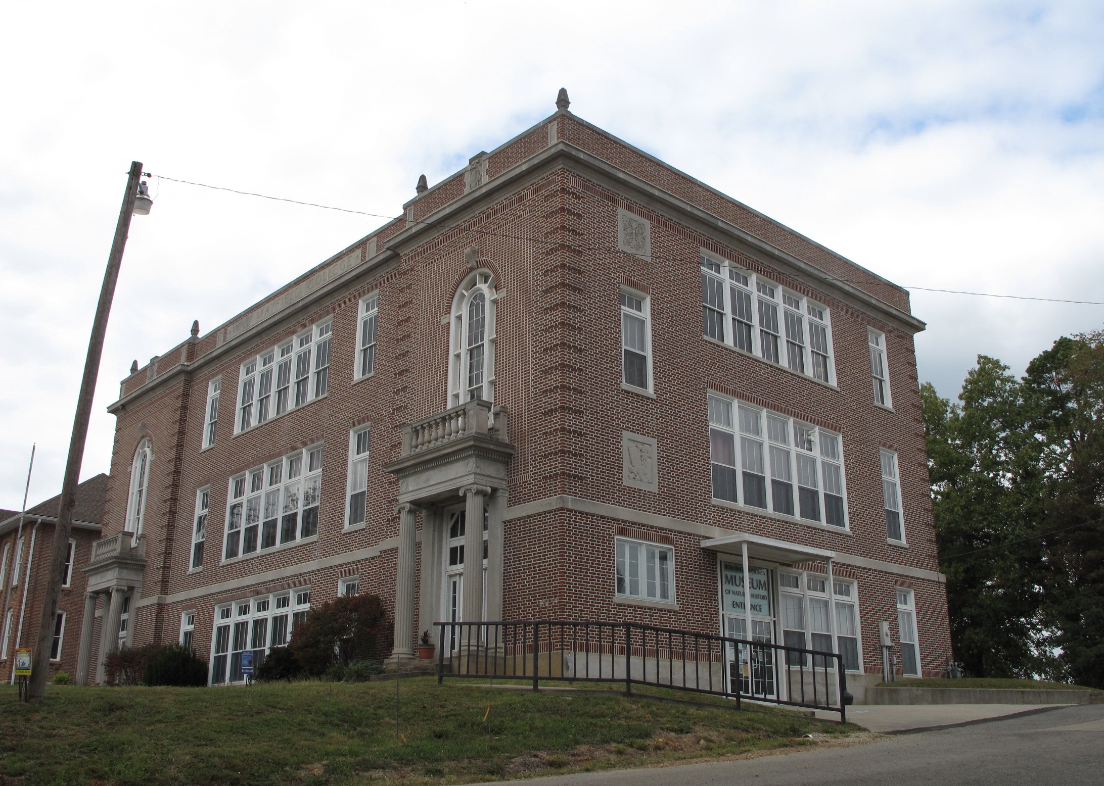
Will Mayfield College, Marble Hill (Mo.), 7 October 2015
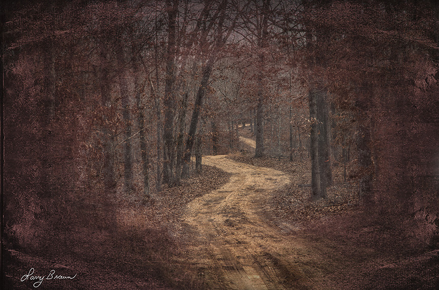
Ridge Trail

My Hometown! #tmom #boco #missouri
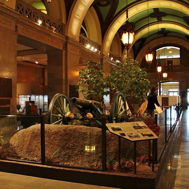
Have you visited the #Missouri State Capitol Building in @visitjcmo? #tmom There is more than just laws being made! There is learning to be had!
CAM01169.jpg
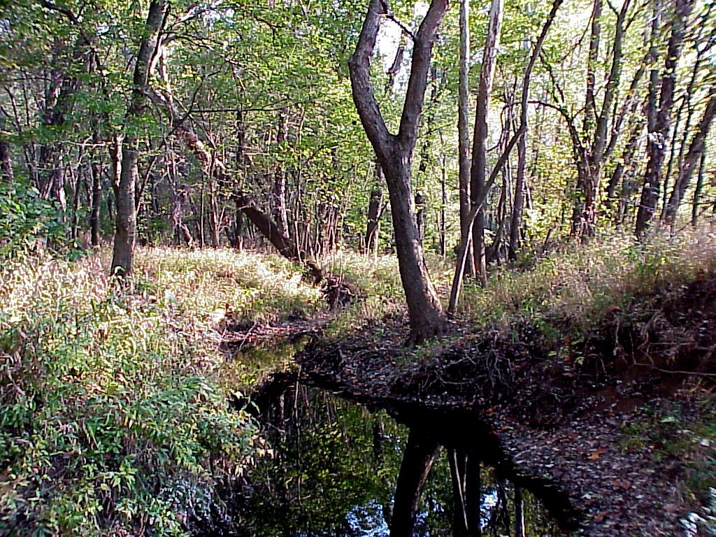
Dark Cypress Swamp Conservation Area, Missouri

Castor River #2

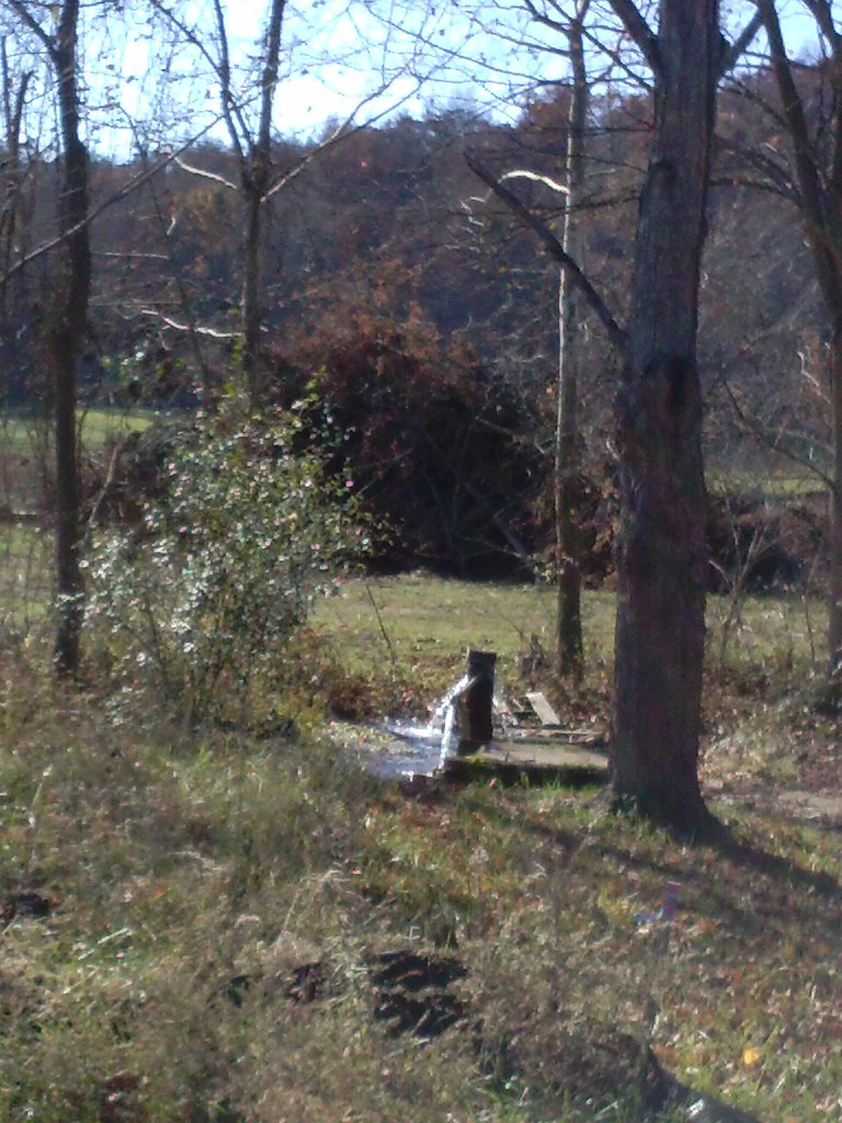
Wildlife Water Hole

Another Wildlife Water Hole

Cool Shroom

Another Cool Shroom

Meadow and Cornfield

Field Corn (Wildlife Food Plot)

Corn Rows

About Blue Pond

Blue Pond

Flying Over Blue Pond

Leaving Blue Pond

Late Fall Colors

3rd Water Hole Thru the Brush

Leaf Covered Trail was hard to see
Mapa de Condado de Bollinger, Misuri, EE. UU.
Buscar otro lugar
lugares en Condado de Bollinger, Misuri, EE. UU.
Lugares cercanos
Woodland High School Marble Hill, MO, MO-34, Glenallen, MO, EE. UU.
Cowan Township, MO, EE. UU.
Kinder Dr, Puxico, MO, EE. UU.
Marquand, Misuri, EE. UU.
New Lisbon Township, MO, EE. UU.
Stevens Branch, Marquand Township, MO, EE. UU.
MO-34, Silva, MO, EE. UU.
Lost Creek Township, MO, EE. UU.
State Hwy E, Silva, MO, EE. UU.
Clayton Road, Clayton Rd, Wappapello, MO, EE. UU.
Clayton Lane, Clayton Ln, Wappapello, MO, EE. UU.
Deep Valley Road, Deep Valley Rd, Wappapello, MO, EE. UU.
Piso Point Road, Piso Point Rd, Wappapello, MO, EE. UU.
Wappapello, MO, EE. UU.
Wappapello Dam, Wappapello, MO, EE. UU.
Cherokee Pass, Misuri, EE. UU.
State Hwy F, Greenville, MO, EE. UU.
Silva, MO, EE. UU.
St. Michael Township, St Michael Township, MO, EE. UU.
St. Francois Township, St Francois Township, MO, EE. UU.
Búsquedas recientes
- Horas de salida y puesta de sol de Red Dog Mine, AK, USA
- Horas de salida y puesta de sol de Am Bahnhof, Am bhf, Borken, Germany
- Horas de salida y puesta de sol de 4th St E, Sonoma, CA, EE. UU.
- Horas de salida y puesta de sol de Oakland Ave, Williamsport, PA, EE. UU.
- Horas de salida y puesta de sol de Via Roma, Pieranica CR, Italia
- Horas de salida y puesta de sol de Torre del reloj, Grad, Dubrovnik (Ragusa), Croacia
- Horas de salida y puesta de sol de Trelew, Chubut, Argentina
- Horas de salida y puesta de sol de Hartfords Bluff Cir, Mt Pleasant, SC, EE. UU.
- Horas de salida y puesta de sol de Kita Ward, Kumamoto, Japón
- Horas de salida y puesta de sol de Pingtan Island, Pingtan County, Fuzhou, China