Horas de salida y puesta de sol de Bobbie Ln, Pioneer, CA, EE. UU.
Location: Estados Unidos > California > Condado de Alpine > Pioneer >
Zona horaria:
America/Los_Angeles
Hora local:
2025-07-04 18:11:30
Longitud:
-120.5855798
Latitud:
38.4173544
Salida de sol de hoy:
05:44:42 AM
Puesta de sol de hoy:
08:29:29 PM
La duración del día hoy:
14h 44m 47s
Salida de sol de mañana:
05:45:17 AM
Puesta de sol de mañana:
08:29:14 PM
La duración del día mañana:
14h 43m 57s
Mostrar todas las fechas
| Fecha | Salida de sol | Puesta de sol | Duración del día |
|---|---|---|---|
| 01/01/2025 | 07:19:39 AM | 04:53:29 PM | 9h 33m 50s |
| 02/01/2025 | 07:19:43 AM | 04:54:20 PM | 9h 34m 37s |
| 03/01/2025 | 07:19:45 AM | 04:55:12 PM | 9h 35m 27s |
| 04/01/2025 | 07:19:45 AM | 04:56:05 PM | 9h 36m 20s |
| 05/01/2025 | 07:19:43 AM | 04:57:00 PM | 9h 37m 17s |
| 06/01/2025 | 07:19:39 AM | 04:57:55 PM | 9h 38m 16s |
| 07/01/2025 | 07:19:33 AM | 04:58:52 PM | 9h 39m 19s |
| 08/01/2025 | 07:19:25 AM | 04:59:50 PM | 9h 40m 25s |
| 09/01/2025 | 07:19:14 AM | 05:00:48 PM | 9h 41m 34s |
| 10/01/2025 | 07:19:02 AM | 05:01:48 PM | 9h 42m 46s |
| 11/01/2025 | 07:18:47 AM | 05:02:49 PM | 9h 44m 2s |
| 12/01/2025 | 07:18:31 AM | 05:03:50 PM | 9h 45m 19s |
| 13/01/2025 | 07:18:12 AM | 05:04:52 PM | 9h 46m 40s |
| 14/01/2025 | 07:17:51 AM | 05:05:55 PM | 9h 48m 4s |
| 15/01/2025 | 07:17:28 AM | 05:06:59 PM | 9h 49m 31s |
| 16/01/2025 | 07:17:03 AM | 05:08:03 PM | 9h 51m 0s |
| 17/01/2025 | 07:16:36 AM | 05:09:08 PM | 9h 52m 32s |
| 18/01/2025 | 07:16:07 AM | 05:10:13 PM | 9h 54m 6s |
| 19/01/2025 | 07:15:37 AM | 05:11:19 PM | 9h 55m 42s |
| 20/01/2025 | 07:15:04 AM | 05:12:26 PM | 9h 57m 22s |
| 21/01/2025 | 07:14:29 AM | 05:13:32 PM | 9h 59m 3s |
| 22/01/2025 | 07:13:52 AM | 05:14:39 PM | 10h 0m 47s |
| 23/01/2025 | 07:13:14 AM | 05:15:47 PM | 10h 2m 33s |
| 24/01/2025 | 07:12:33 AM | 05:16:54 PM | 10h 4m 21s |
| 25/01/2025 | 07:11:51 AM | 05:18:02 PM | 10h 6m 11s |
| 26/01/2025 | 07:11:07 AM | 05:19:10 PM | 10h 8m 3s |
| 27/01/2025 | 07:10:21 AM | 05:20:19 PM | 10h 9m 58s |
| 28/01/2025 | 07:09:34 AM | 05:21:27 PM | 10h 11m 53s |
| 29/01/2025 | 07:08:44 AM | 05:22:35 PM | 10h 13m 51s |
| 30/01/2025 | 07:07:53 AM | 05:23:44 PM | 10h 15m 51s |
| 31/01/2025 | 07:07:01 AM | 05:24:52 PM | 10h 17m 51s |
| 01/02/2025 | 07:06:07 AM | 05:26:01 PM | 10h 19m 54s |
| 02/02/2025 | 07:05:11 AM | 05:27:09 PM | 10h 21m 58s |
| 03/02/2025 | 07:04:13 AM | 05:28:18 PM | 10h 24m 5s |
| 04/02/2025 | 07:03:15 AM | 05:29:26 PM | 10h 26m 11s |
| 05/02/2025 | 07:02:14 AM | 05:30:34 PM | 10h 28m 20s |
| 06/02/2025 | 07:01:12 AM | 05:31:42 PM | 10h 30m 30s |
| 07/02/2025 | 07:00:09 AM | 05:32:50 PM | 10h 32m 41s |
| 08/02/2025 | 06:59:04 AM | 05:33:58 PM | 10h 34m 54s |
| 09/02/2025 | 06:57:58 AM | 05:35:05 PM | 10h 37m 7s |
| 10/02/2025 | 06:56:51 AM | 05:36:12 PM | 10h 39m 21s |
| 11/02/2025 | 06:55:42 AM | 05:37:19 PM | 10h 41m 37s |
| 12/02/2025 | 06:54:33 AM | 05:38:26 PM | 10h 43m 53s |
| 13/02/2025 | 06:53:22 AM | 05:39:33 PM | 10h 46m 11s |
| 14/02/2025 | 06:52:09 AM | 05:40:39 PM | 10h 48m 30s |
| 15/02/2025 | 06:50:56 AM | 05:41:45 PM | 10h 50m 49s |
| 16/02/2025 | 06:49:41 AM | 05:42:51 PM | 10h 53m 10s |
| 17/02/2025 | 06:48:26 AM | 05:43:56 PM | 10h 55m 30s |
| 18/02/2025 | 06:47:09 AM | 05:45:01 PM | 10h 57m 52s |
| 19/02/2025 | 06:45:51 AM | 05:46:06 PM | 11h 0m 15s |
| 20/02/2025 | 06:44:33 AM | 05:47:11 PM | 11h 2m 38s |
| 21/02/2025 | 06:43:13 AM | 05:48:15 PM | 11h 5m 2s |
| 22/02/2025 | 06:41:52 AM | 05:49:19 PM | 11h 7m 27s |
| 23/02/2025 | 06:40:31 AM | 05:50:22 PM | 11h 9m 51s |
| 24/02/2025 | 06:39:09 AM | 05:51:26 PM | 11h 12m 17s |
| 25/02/2025 | 06:37:46 AM | 05:52:29 PM | 11h 14m 43s |
| 26/02/2025 | 06:36:22 AM | 05:53:31 PM | 11h 17m 9s |
| 27/02/2025 | 06:34:57 AM | 05:54:34 PM | 11h 19m 37s |
| 28/02/2025 | 06:33:32 AM | 05:55:36 PM | 11h 22m 4s |
| 01/03/2025 | 06:32:06 AM | 05:56:37 PM | 11h 24m 31s |
| 02/03/2025 | 06:30:39 AM | 05:57:39 PM | 11h 27m 0s |
| 03/03/2025 | 06:29:12 AM | 05:58:40 PM | 11h 29m 28s |
| 04/03/2025 | 06:27:44 AM | 05:59:41 PM | 11h 31m 57s |
| 05/03/2025 | 06:26:15 AM | 06:00:41 PM | 11h 34m 26s |
| 06/03/2025 | 06:24:46 AM | 06:01:41 PM | 11h 36m 55s |
| 07/03/2025 | 06:23:17 AM | 06:02:41 PM | 11h 39m 24s |
| 08/03/2025 | 06:21:47 AM | 06:03:41 PM | 11h 41m 54s |
| 09/03/2025 | 07:20:21 AM | 07:04:38 PM | 11h 44m 17s |
| 10/03/2025 | 07:18:50 AM | 07:05:37 PM | 11h 46m 47s |
| 11/03/2025 | 07:17:19 AM | 07:06:36 PM | 11h 49m 17s |
| 12/03/2025 | 07:15:47 AM | 07:07:35 PM | 11h 51m 48s |
| 13/03/2025 | 07:14:16 AM | 07:08:34 PM | 11h 54m 18s |
| 14/03/2025 | 07:12:44 AM | 07:09:32 PM | 11h 56m 48s |
| 15/03/2025 | 07:11:11 AM | 07:10:30 PM | 11h 59m 19s |
| 16/03/2025 | 07:09:39 AM | 07:11:28 PM | 12h 1m 49s |
| 17/03/2025 | 07:08:06 AM | 07:12:26 PM | 12h 4m 20s |
| 18/03/2025 | 07:06:33 AM | 07:13:24 PM | 12h 6m 51s |
| 19/03/2025 | 07:05:00 AM | 07:14:21 PM | 12h 9m 21s |
| 20/03/2025 | 07:03:27 AM | 07:15:19 PM | 12h 11m 52s |
| 21/03/2025 | 07:01:54 AM | 07:16:16 PM | 12h 14m 22s |
| 22/03/2025 | 07:00:21 AM | 07:17:13 PM | 12h 16m 52s |
| 23/03/2025 | 06:58:48 AM | 07:18:10 PM | 12h 19m 22s |
| 24/03/2025 | 06:57:15 AM | 07:19:07 PM | 12h 21m 52s |
| 25/03/2025 | 06:55:42 AM | 07:20:04 PM | 12h 24m 22s |
| 26/03/2025 | 06:54:09 AM | 07:21:00 PM | 12h 26m 51s |
| 27/03/2025 | 06:52:36 AM | 07:21:57 PM | 12h 29m 21s |
| 28/03/2025 | 06:51:03 AM | 07:22:54 PM | 12h 31m 51s |
| 29/03/2025 | 06:49:31 AM | 07:23:50 PM | 12h 34m 19s |
| 30/03/2025 | 06:47:59 AM | 07:24:47 PM | 12h 36m 48s |
| 31/03/2025 | 06:46:27 AM | 07:25:43 PM | 12h 39m 16s |
| 01/04/2025 | 06:44:55 AM | 07:26:40 PM | 12h 41m 45s |
| 02/04/2025 | 06:43:23 AM | 07:27:36 PM | 12h 44m 13s |
| 03/04/2025 | 06:41:52 AM | 07:28:33 PM | 12h 46m 41s |
| 04/04/2025 | 06:40:21 AM | 07:29:29 PM | 12h 49m 8s |
| 05/04/2025 | 06:38:51 AM | 07:30:25 PM | 12h 51m 34s |
| 06/04/2025 | 06:37:21 AM | 07:31:22 PM | 12h 54m 1s |
| 07/04/2025 | 06:35:51 AM | 07:32:18 PM | 12h 56m 27s |
| 08/04/2025 | 06:34:22 AM | 07:33:15 PM | 12h 58m 53s |
| 09/04/2025 | 06:32:54 AM | 07:34:11 PM | 13h 1m 17s |
| 10/04/2025 | 06:31:26 AM | 07:35:08 PM | 13h 3m 42s |
| 11/04/2025 | 06:29:58 AM | 07:36:04 PM | 13h 6m 6s |
| 12/04/2025 | 06:28:31 AM | 07:37:01 PM | 13h 8m 30s |
| 13/04/2025 | 06:27:05 AM | 07:37:58 PM | 13h 10m 53s |
| 14/04/2025 | 06:25:39 AM | 07:38:54 PM | 13h 13m 15s |
| 15/04/2025 | 06:24:14 AM | 07:39:51 PM | 13h 15m 37s |
| 16/04/2025 | 06:22:50 AM | 07:40:48 PM | 13h 17m 58s |
| 17/04/2025 | 06:21:27 AM | 07:41:45 PM | 13h 20m 18s |
| 18/04/2025 | 06:20:04 AM | 07:42:41 PM | 13h 22m 37s |
| 19/04/2025 | 06:18:42 AM | 07:43:38 PM | 13h 24m 56s |
| 20/04/2025 | 06:17:21 AM | 07:44:35 PM | 13h 27m 14s |
| 21/04/2025 | 06:16:01 AM | 07:45:32 PM | 13h 29m 31s |
| 22/04/2025 | 06:14:42 AM | 07:46:29 PM | 13h 31m 47s |
| 23/04/2025 | 06:13:24 AM | 07:47:26 PM | 13h 34m 2s |
| 24/04/2025 | 06:12:06 AM | 07:48:23 PM | 13h 36m 17s |
| 25/04/2025 | 06:10:50 AM | 07:49:19 PM | 13h 38m 29s |
| 26/04/2025 | 06:09:35 AM | 07:50:16 PM | 13h 40m 41s |
| 27/04/2025 | 06:08:20 AM | 07:51:13 PM | 13h 42m 53s |
| 28/04/2025 | 06:07:07 AM | 07:52:10 PM | 13h 45m 3s |
| 29/04/2025 | 06:05:55 AM | 07:53:07 PM | 13h 47m 12s |
| 30/04/2025 | 06:04:44 AM | 07:54:03 PM | 13h 49m 19s |
| 01/05/2025 | 06:03:34 AM | 07:55:00 PM | 13h 51m 26s |
| 02/05/2025 | 06:02:26 AM | 07:55:56 PM | 13h 53m 30s |
| 03/05/2025 | 06:01:19 AM | 07:56:52 PM | 13h 55m 33s |
| 04/05/2025 | 06:00:13 AM | 07:57:49 PM | 13h 57m 36s |
| 05/05/2025 | 05:59:08 AM | 07:58:45 PM | 13h 59m 37s |
| 06/05/2025 | 05:58:04 AM | 07:59:40 PM | 14h 1m 36s |
| 07/05/2025 | 05:57:02 AM | 08:00:36 PM | 14h 3m 34s |
| 08/05/2025 | 05:56:01 AM | 08:01:31 PM | 14h 5m 30s |
| 09/05/2025 | 05:55:02 AM | 08:02:26 PM | 14h 7m 24s |
| 10/05/2025 | 05:54:04 AM | 08:03:21 PM | 14h 9m 17s |
| 11/05/2025 | 05:53:08 AM | 08:04:16 PM | 14h 11m 8s |
| 12/05/2025 | 05:52:13 AM | 08:05:10 PM | 14h 12m 57s |
| 13/05/2025 | 05:51:19 AM | 08:06:04 PM | 14h 14m 45s |
| 14/05/2025 | 05:50:27 AM | 08:06:57 PM | 14h 16m 30s |
| 15/05/2025 | 05:49:37 AM | 08:07:50 PM | 14h 18m 13s |
| 16/05/2025 | 05:48:48 AM | 08:08:43 PM | 14h 19m 55s |
| 17/05/2025 | 05:48:01 AM | 08:09:35 PM | 14h 21m 34s |
| 18/05/2025 | 05:47:16 AM | 08:10:26 PM | 14h 23m 10s |
| 19/05/2025 | 05:46:32 AM | 08:11:17 PM | 14h 24m 45s |
| 20/05/2025 | 05:45:49 AM | 08:12:07 PM | 14h 26m 18s |
| 21/05/2025 | 05:45:09 AM | 08:12:57 PM | 14h 27m 48s |
| 22/05/2025 | 05:44:30 AM | 08:13:46 PM | 14h 29m 16s |
| 23/05/2025 | 05:43:53 AM | 08:14:34 PM | 14h 30m 41s |
| 24/05/2025 | 05:43:18 AM | 08:15:22 PM | 14h 32m 4s |
| 25/05/2025 | 05:42:44 AM | 08:16:09 PM | 14h 33m 25s |
| 26/05/2025 | 05:42:12 AM | 08:16:55 PM | 14h 34m 43s |
| 27/05/2025 | 05:41:42 AM | 08:17:40 PM | 14h 35m 58s |
| 28/05/2025 | 05:41:14 AM | 08:18:24 PM | 14h 37m 10s |
| 29/05/2025 | 05:40:47 AM | 08:19:07 PM | 14h 38m 20s |
| 30/05/2025 | 05:40:23 AM | 08:19:49 PM | 14h 39m 26s |
| 31/05/2025 | 05:40:00 AM | 08:20:31 PM | 14h 40m 31s |
| 01/06/2025 | 05:39:39 AM | 08:21:11 PM | 14h 41m 32s |
| 02/06/2025 | 05:39:20 AM | 08:21:50 PM | 14h 42m 30s |
| 03/06/2025 | 05:39:03 AM | 08:22:28 PM | 14h 43m 25s |
| 04/06/2025 | 05:38:47 AM | 08:23:05 PM | 14h 44m 18s |
| 05/06/2025 | 05:38:34 AM | 08:23:40 PM | 14h 45m 6s |
| 06/06/2025 | 05:38:22 AM | 08:24:14 PM | 14h 45m 52s |
| 07/06/2025 | 05:38:12 AM | 08:24:47 PM | 14h 46m 35s |
| 08/06/2025 | 05:38:04 AM | 08:25:19 PM | 14h 47m 15s |
| 09/06/2025 | 05:37:58 AM | 08:25:49 PM | 14h 47m 51s |
| 10/06/2025 | 05:37:53 AM | 08:26:18 PM | 14h 48m 25s |
| 11/06/2025 | 05:37:51 AM | 08:26:46 PM | 14h 48m 55s |
| 12/06/2025 | 05:37:50 AM | 08:27:11 PM | 14h 49m 21s |
| 13/06/2025 | 05:37:51 AM | 08:27:36 PM | 14h 49m 45s |
| 14/06/2025 | 05:37:54 AM | 08:27:59 PM | 14h 50m 5s |
| 15/06/2025 | 05:37:58 AM | 08:28:20 PM | 14h 50m 22s |
| 16/06/2025 | 05:38:05 AM | 08:28:40 PM | 14h 50m 35s |
| 17/06/2025 | 05:38:13 AM | 08:28:58 PM | 14h 50m 45s |
| 18/06/2025 | 05:38:22 AM | 08:29:14 PM | 14h 50m 52s |
| 19/06/2025 | 05:38:34 AM | 08:29:29 PM | 14h 50m 55s |
| 20/06/2025 | 05:38:47 AM | 08:29:42 PM | 14h 50m 55s |
| 21/06/2025 | 05:39:02 AM | 08:29:53 PM | 14h 50m 51s |
| 22/06/2025 | 05:39:18 AM | 08:30:03 PM | 14h 50m 45s |
| 23/06/2025 | 05:39:36 AM | 08:30:11 PM | 14h 50m 35s |
| 24/06/2025 | 05:39:55 AM | 08:30:17 PM | 14h 50m 22s |
| 25/06/2025 | 05:40:17 AM | 08:30:21 PM | 14h 50m 4s |
| 26/06/2025 | 05:40:39 AM | 08:30:23 PM | 14h 49m 44s |
| 27/06/2025 | 05:41:03 AM | 08:30:24 PM | 14h 49m 21s |
| 28/06/2025 | 05:41:29 AM | 08:30:22 PM | 14h 48m 53s |
| 29/06/2025 | 05:41:55 AM | 08:30:19 PM | 14h 48m 24s |
| 30/06/2025 | 05:42:24 AM | 08:30:14 PM | 14h 47m 50s |
| 01/07/2025 | 05:42:53 AM | 08:30:07 PM | 14h 47m 14s |
| 02/07/2025 | 05:43:24 AM | 08:29:58 PM | 14h 46m 34s |
| 03/07/2025 | 05:43:56 AM | 08:29:47 PM | 14h 45m 51s |
| 04/07/2025 | 05:44:29 AM | 08:29:35 PM | 14h 45m 6s |
| 05/07/2025 | 05:45:04 AM | 08:29:20 PM | 14h 44m 16s |
| 06/07/2025 | 05:45:40 AM | 08:29:04 PM | 14h 43m 24s |
| 07/07/2025 | 05:46:16 AM | 08:28:46 PM | 14h 42m 30s |
| 08/07/2025 | 05:46:54 AM | 08:28:25 PM | 14h 41m 31s |
| 09/07/2025 | 05:47:33 AM | 08:28:03 PM | 14h 40m 30s |
| 10/07/2025 | 05:48:13 AM | 08:27:39 PM | 14h 39m 26s |
| 11/07/2025 | 05:48:54 AM | 08:27:14 PM | 14h 38m 20s |
| 12/07/2025 | 05:49:35 AM | 08:26:46 PM | 14h 37m 11s |
| 13/07/2025 | 05:50:18 AM | 08:26:17 PM | 14h 35m 59s |
| 14/07/2025 | 05:51:01 AM | 08:25:45 PM | 14h 34m 44s |
| 15/07/2025 | 05:51:45 AM | 08:25:12 PM | 14h 33m 27s |
| 16/07/2025 | 05:52:30 AM | 08:24:37 PM | 14h 32m 7s |
| 17/07/2025 | 05:53:16 AM | 08:24:01 PM | 14h 30m 45s |
| 18/07/2025 | 05:54:02 AM | 08:23:22 PM | 14h 29m 20s |
| 19/07/2025 | 05:54:49 AM | 08:22:42 PM | 14h 27m 53s |
| 20/07/2025 | 05:55:37 AM | 08:22:00 PM | 14h 26m 23s |
| 21/07/2025 | 05:56:25 AM | 08:21:17 PM | 14h 24m 52s |
| 22/07/2025 | 05:57:13 AM | 08:20:31 PM | 14h 23m 18s |
| 23/07/2025 | 05:58:02 AM | 08:19:44 PM | 14h 21m 42s |
| 24/07/2025 | 05:58:52 AM | 08:18:56 PM | 14h 20m 4s |
| 25/07/2025 | 05:59:42 AM | 08:18:06 PM | 14h 18m 24s |
| 26/07/2025 | 06:00:32 AM | 08:17:14 PM | 14h 16m 42s |
| 27/07/2025 | 06:01:23 AM | 08:16:20 PM | 14h 14m 57s |
| 28/07/2025 | 06:02:14 AM | 08:15:25 PM | 14h 13m 11s |
| 29/07/2025 | 06:03:05 AM | 08:14:29 PM | 14h 11m 24s |
| 30/07/2025 | 06:03:57 AM | 08:13:31 PM | 14h 9m 34s |
| 31/07/2025 | 06:04:49 AM | 08:12:32 PM | 14h 7m 43s |
| 01/08/2025 | 06:05:41 AM | 08:11:31 PM | 14h 5m 50s |
| 02/08/2025 | 06:06:33 AM | 08:10:28 PM | 14h 3m 55s |
| 03/08/2025 | 06:07:26 AM | 08:09:25 PM | 14h 1m 59s |
| 04/08/2025 | 06:08:19 AM | 08:08:20 PM | 14h 0m 1s |
| 05/08/2025 | 06:09:11 AM | 08:07:13 PM | 13h 58m 2s |
| 06/08/2025 | 06:10:04 AM | 08:06:06 PM | 13h 56m 2s |
| 07/08/2025 | 06:10:57 AM | 08:04:57 PM | 13h 54m 0s |
| 08/08/2025 | 06:11:51 AM | 08:03:47 PM | 13h 51m 56s |
| 09/08/2025 | 06:12:44 AM | 08:02:35 PM | 13h 49m 51s |
| 10/08/2025 | 06:13:37 AM | 08:01:23 PM | 13h 47m 46s |
| 11/08/2025 | 06:14:30 AM | 08:00:09 PM | 13h 45m 39s |
| 12/08/2025 | 06:15:23 AM | 07:58:54 PM | 13h 43m 31s |
| 13/08/2025 | 06:16:17 AM | 07:57:38 PM | 13h 41m 21s |
| 14/08/2025 | 06:17:10 AM | 07:56:21 PM | 13h 39m 11s |
| 15/08/2025 | 06:18:03 AM | 07:55:03 PM | 13h 37m 0s |
| 16/08/2025 | 06:18:56 AM | 07:53:44 PM | 13h 34m 48s |
| 17/08/2025 | 06:19:49 AM | 07:52:24 PM | 13h 32m 35s |
| 18/08/2025 | 06:20:42 AM | 07:51:03 PM | 13h 30m 21s |
| 19/08/2025 | 06:21:35 AM | 07:49:41 PM | 13h 28m 6s |
| 20/08/2025 | 06:22:28 AM | 07:48:19 PM | 13h 25m 51s |
| 21/08/2025 | 06:23:21 AM | 07:46:55 PM | 13h 23m 34s |
| 22/08/2025 | 06:24:14 AM | 07:45:31 PM | 13h 21m 17s |
| 23/08/2025 | 06:25:07 AM | 07:44:06 PM | 13h 18m 59s |
| 24/08/2025 | 06:26:00 AM | 07:42:40 PM | 13h 16m 40s |
| 25/08/2025 | 06:26:53 AM | 07:41:13 PM | 13h 14m 20s |
| 26/08/2025 | 06:27:45 AM | 07:39:46 PM | 13h 12m 1s |
| 27/08/2025 | 06:28:38 AM | 07:38:17 PM | 13h 9m 39s |
| 28/08/2025 | 06:29:30 AM | 07:36:49 PM | 13h 7m 19s |
| 29/08/2025 | 06:30:23 AM | 07:35:20 PM | 13h 4m 57s |
| 30/08/2025 | 06:31:15 AM | 07:33:50 PM | 13h 2m 35s |
| 31/08/2025 | 06:32:07 AM | 07:32:19 PM | 13h 0m 12s |
| 01/09/2025 | 06:32:59 AM | 07:30:48 PM | 12h 57m 49s |
| 02/09/2025 | 06:33:52 AM | 07:29:17 PM | 12h 55m 25s |
| 03/09/2025 | 06:34:44 AM | 07:27:45 PM | 12h 53m 1s |
| 04/09/2025 | 06:35:36 AM | 07:26:13 PM | 12h 50m 37s |
| 05/09/2025 | 06:36:28 AM | 07:24:40 PM | 12h 48m 12s |
| 06/09/2025 | 06:37:20 AM | 07:23:07 PM | 12h 45m 47s |
| 07/09/2025 | 06:38:12 AM | 07:21:33 PM | 12h 43m 21s |
| 08/09/2025 | 06:39:04 AM | 07:19:59 PM | 12h 40m 55s |
| 09/09/2025 | 06:39:56 AM | 07:18:25 PM | 12h 38m 29s |
| 10/09/2025 | 06:40:48 AM | 07:16:51 PM | 12h 36m 3s |
| 11/09/2025 | 06:41:40 AM | 07:15:17 PM | 12h 33m 37s |
| 12/09/2025 | 06:42:33 AM | 07:13:42 PM | 12h 31m 9s |
| 13/09/2025 | 06:43:25 AM | 07:12:07 PM | 12h 28m 42s |
| 14/09/2025 | 06:44:17 AM | 07:10:32 PM | 12h 26m 15s |
| 15/09/2025 | 06:45:09 AM | 07:08:57 PM | 12h 23m 48s |
| 16/09/2025 | 06:46:02 AM | 07:07:21 PM | 12h 21m 19s |
| 17/09/2025 | 06:46:54 AM | 07:05:46 PM | 12h 18m 52s |
| 18/09/2025 | 06:47:46 AM | 07:04:11 PM | 12h 16m 25s |
| 19/09/2025 | 06:48:39 AM | 07:02:35 PM | 12h 13m 56s |
| 20/09/2025 | 06:49:32 AM | 07:01:00 PM | 12h 11m 28s |
| 21/09/2025 | 06:50:25 AM | 06:59:25 PM | 12h 9m 0s |
| 22/09/2025 | 06:51:18 AM | 06:57:50 PM | 12h 6m 32s |
| 23/09/2025 | 06:52:11 AM | 06:56:15 PM | 12h 4m 4s |
| 24/09/2025 | 06:53:04 AM | 06:54:40 PM | 12h 1m 36s |
| 25/09/2025 | 06:53:58 AM | 06:53:05 PM | 11h 59m 7s |
| 26/09/2025 | 06:54:51 AM | 06:51:31 PM | 11h 56m 40s |
| 27/09/2025 | 06:55:45 AM | 06:49:57 PM | 11h 54m 12s |
| 28/09/2025 | 06:56:39 AM | 06:48:23 PM | 11h 51m 44s |
| 29/09/2025 | 06:57:34 AM | 06:46:49 PM | 11h 49m 15s |
| 30/09/2025 | 06:58:28 AM | 06:45:16 PM | 11h 46m 48s |
| 01/10/2025 | 06:59:23 AM | 06:43:43 PM | 11h 44m 20s |
| 02/10/2025 | 07:00:18 AM | 06:42:10 PM | 11h 41m 52s |
| 03/10/2025 | 07:01:13 AM | 06:40:38 PM | 11h 39m 25s |
| 04/10/2025 | 07:02:09 AM | 06:39:07 PM | 11h 36m 58s |
| 05/10/2025 | 07:03:05 AM | 06:37:35 PM | 11h 34m 30s |
| 06/10/2025 | 07:04:01 AM | 06:36:05 PM | 11h 32m 4s |
| 07/10/2025 | 07:04:57 AM | 06:34:35 PM | 11h 29m 38s |
| 08/10/2025 | 07:05:54 AM | 06:33:05 PM | 11h 27m 11s |
| 09/10/2025 | 07:06:51 AM | 06:31:36 PM | 11h 24m 45s |
| 10/10/2025 | 07:07:48 AM | 06:30:08 PM | 11h 22m 20s |
| 11/10/2025 | 07:08:46 AM | 06:28:40 PM | 11h 19m 54s |
| 12/10/2025 | 07:09:44 AM | 06:27:13 PM | 11h 17m 29s |
| 13/10/2025 | 07:10:42 AM | 06:25:47 PM | 11h 15m 5s |
| 14/10/2025 | 07:11:41 AM | 06:24:22 PM | 11h 12m 41s |
| 15/10/2025 | 07:12:40 AM | 06:22:57 PM | 11h 10m 17s |
| 16/10/2025 | 07:13:39 AM | 06:21:34 PM | 11h 7m 55s |
| 17/10/2025 | 07:14:39 AM | 06:20:11 PM | 11h 5m 32s |
| 18/10/2025 | 07:15:39 AM | 06:18:49 PM | 11h 3m 10s |
| 19/10/2025 | 07:16:39 AM | 06:17:28 PM | 11h 0m 49s |
| 20/10/2025 | 07:17:40 AM | 06:16:08 PM | 10h 58m 28s |
| 21/10/2025 | 07:18:41 AM | 06:14:48 PM | 10h 56m 7s |
| 22/10/2025 | 07:19:42 AM | 06:13:30 PM | 10h 53m 48s |
| 23/10/2025 | 07:20:44 AM | 06:12:13 PM | 10h 51m 29s |
| 24/10/2025 | 07:21:46 AM | 06:10:58 PM | 10h 49m 12s |
| 25/10/2025 | 07:22:48 AM | 06:09:43 PM | 10h 46m 55s |
| 26/10/2025 | 07:23:51 AM | 06:08:29 PM | 10h 44m 38s |
| 27/10/2025 | 07:24:54 AM | 06:07:17 PM | 10h 42m 23s |
| 28/10/2025 | 07:25:57 AM | 06:06:06 PM | 10h 40m 9s |
| 29/10/2025 | 07:27:01 AM | 06:04:56 PM | 10h 37m 55s |
| 30/10/2025 | 07:28:04 AM | 06:03:47 PM | 10h 35m 43s |
| 31/10/2025 | 07:29:08 AM | 06:02:40 PM | 10h 33m 32s |
| 01/11/2025 | 07:30:13 AM | 06:01:34 PM | 10h 31m 21s |
| 02/11/2025 | 06:31:20 AM | 05:00:27 PM | 10h 29m 7s |
| 03/11/2025 | 06:32:25 AM | 04:59:24 PM | 10h 26m 59s |
| 04/11/2025 | 06:33:29 AM | 04:58:23 PM | 10h 24m 54s |
| 05/11/2025 | 06:34:34 AM | 04:57:23 PM | 10h 22m 49s |
| 06/11/2025 | 06:35:40 AM | 04:56:25 PM | 10h 20m 45s |
| 07/11/2025 | 06:36:45 AM | 04:55:28 PM | 10h 18m 43s |
| 08/11/2025 | 06:37:50 AM | 04:54:33 PM | 10h 16m 43s |
| 09/11/2025 | 06:38:55 AM | 04:53:39 PM | 10h 14m 44s |
| 10/11/2025 | 06:40:01 AM | 04:52:47 PM | 10h 12m 46s |
| 11/11/2025 | 06:41:06 AM | 04:51:57 PM | 10h 10m 51s |
| 12/11/2025 | 06:42:12 AM | 04:51:09 PM | 10h 8m 57s |
| 13/11/2025 | 06:43:17 AM | 04:50:22 PM | 10h 7m 5s |
| 14/11/2025 | 06:44:22 AM | 04:49:37 PM | 10h 5m 15s |
| 15/11/2025 | 06:45:27 AM | 04:48:54 PM | 10h 3m 27s |
| 16/11/2025 | 06:46:32 AM | 04:48:13 PM | 10h 1m 41s |
| 17/11/2025 | 06:47:37 AM | 04:47:33 PM | 9h 59m 56s |
| 18/11/2025 | 06:48:41 AM | 04:46:56 PM | 9h 58m 15s |
| 19/11/2025 | 06:49:45 AM | 04:46:21 PM | 9h 56m 36s |
| 20/11/2025 | 06:50:49 AM | 04:45:47 PM | 9h 54m 58s |
| 21/11/2025 | 06:51:52 AM | 04:45:15 PM | 9h 53m 23s |
| 22/11/2025 | 06:52:55 AM | 04:44:46 PM | 9h 51m 51s |
| 23/11/2025 | 06:53:58 AM | 04:44:18 PM | 9h 50m 20s |
| 24/11/2025 | 06:55:00 AM | 04:43:53 PM | 9h 48m 53s |
| 25/11/2025 | 06:56:01 AM | 04:43:29 PM | 9h 47m 28s |
| 26/11/2025 | 06:57:02 AM | 04:43:08 PM | 9h 46m 6s |
| 27/11/2025 | 06:58:02 AM | 04:42:49 PM | 9h 44m 47s |
| 28/11/2025 | 06:59:01 AM | 04:42:32 PM | 9h 43m 31s |
| 29/11/2025 | 07:00:00 AM | 04:42:17 PM | 9h 42m 17s |
| 30/11/2025 | 07:00:57 AM | 04:42:04 PM | 9h 41m 7s |
| 01/12/2025 | 07:01:54 AM | 04:41:53 PM | 9h 39m 59s |
| 02/12/2025 | 07:02:50 AM | 04:41:44 PM | 9h 38m 54s |
| 03/12/2025 | 07:03:45 AM | 04:41:38 PM | 9h 37m 53s |
| 04/12/2025 | 07:04:39 AM | 04:41:34 PM | 9h 36m 55s |
| 05/12/2025 | 07:05:32 AM | 04:41:32 PM | 9h 36m 0s |
| 06/12/2025 | 07:06:23 AM | 04:41:32 PM | 9h 35m 9s |
| 07/12/2025 | 07:07:14 AM | 04:41:34 PM | 9h 34m 20s |
| 08/12/2025 | 07:08:03 AM | 04:41:38 PM | 9h 33m 35s |
| 09/12/2025 | 07:08:51 AM | 04:41:45 PM | 9h 32m 54s |
| 10/12/2025 | 07:09:38 AM | 04:41:53 PM | 9h 32m 15s |
| 11/12/2025 | 07:10:23 AM | 04:42:04 PM | 9h 31m 41s |
| 12/12/2025 | 07:11:07 AM | 04:42:17 PM | 9h 31m 10s |
| 13/12/2025 | 07:11:49 AM | 04:42:32 PM | 9h 30m 43s |
| 14/12/2025 | 07:12:30 AM | 04:42:49 PM | 9h 30m 19s |
| 15/12/2025 | 07:13:09 AM | 04:43:08 PM | 9h 29m 59s |
| 16/12/2025 | 07:13:47 AM | 04:43:29 PM | 9h 29m 42s |
| 17/12/2025 | 07:14:22 AM | 04:43:52 PM | 9h 29m 30s |
| 18/12/2025 | 07:14:57 AM | 04:44:17 PM | 9h 29m 20s |
| 19/12/2025 | 07:15:29 AM | 04:44:44 PM | 9h 29m 15s |
| 20/12/2025 | 07:16:00 AM | 04:45:13 PM | 9h 29m 13s |
| 21/12/2025 | 07:16:29 AM | 04:45:44 PM | 9h 29m 15s |
| 22/12/2025 | 07:16:55 AM | 04:46:17 PM | 9h 29m 22s |
| 23/12/2025 | 07:17:21 AM | 04:46:51 PM | 9h 29m 30s |
| 24/12/2025 | 07:17:44 AM | 04:47:27 PM | 9h 29m 43s |
| 25/12/2025 | 07:18:05 AM | 04:48:05 PM | 9h 30m 0s |
| 26/12/2025 | 07:18:24 AM | 04:48:45 PM | 9h 30m 21s |
| 27/12/2025 | 07:18:41 AM | 04:49:27 PM | 9h 30m 46s |
| 28/12/2025 | 07:18:57 AM | 04:50:10 PM | 9h 31m 13s |
| 29/12/2025 | 07:19:10 AM | 04:50:54 PM | 9h 31m 44s |
| 30/12/2025 | 07:19:21 AM | 04:51:40 PM | 9h 32m 19s |
| 31/12/2025 | 07:19:30 AM | 04:52:28 PM | 9h 32m 58s |
Fotos
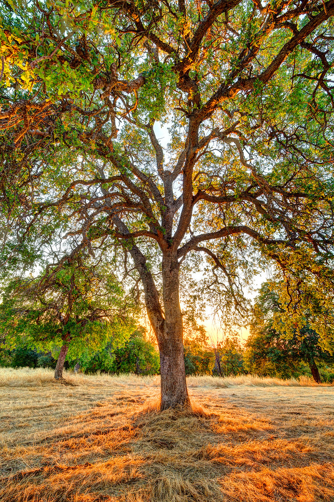
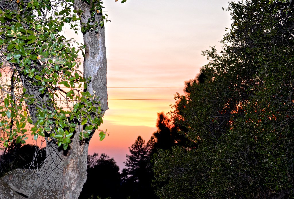
The Veins of an Oak at Sunset - Sutter Creek, CA
Living Color
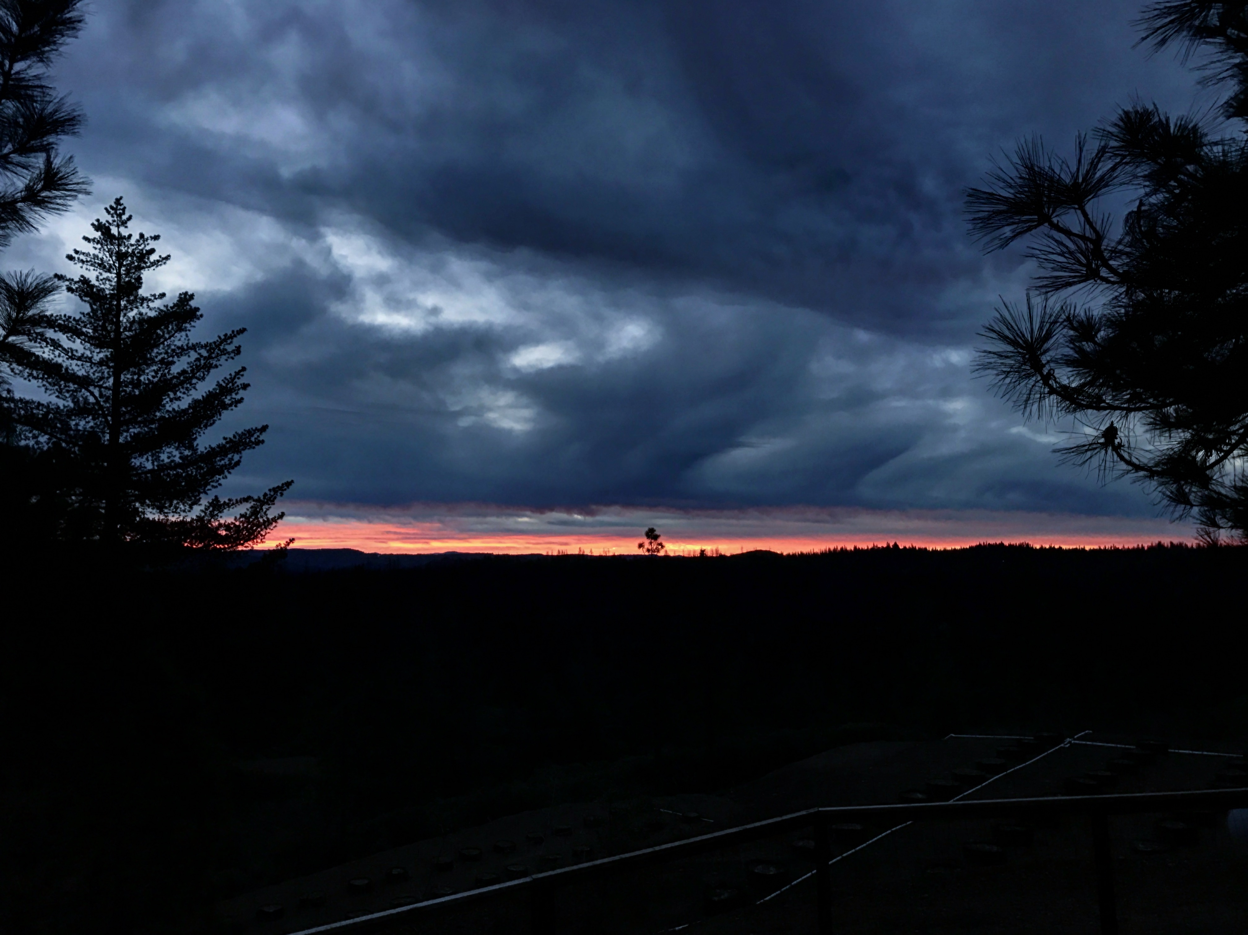
NSOR (New Shit Old Rules)
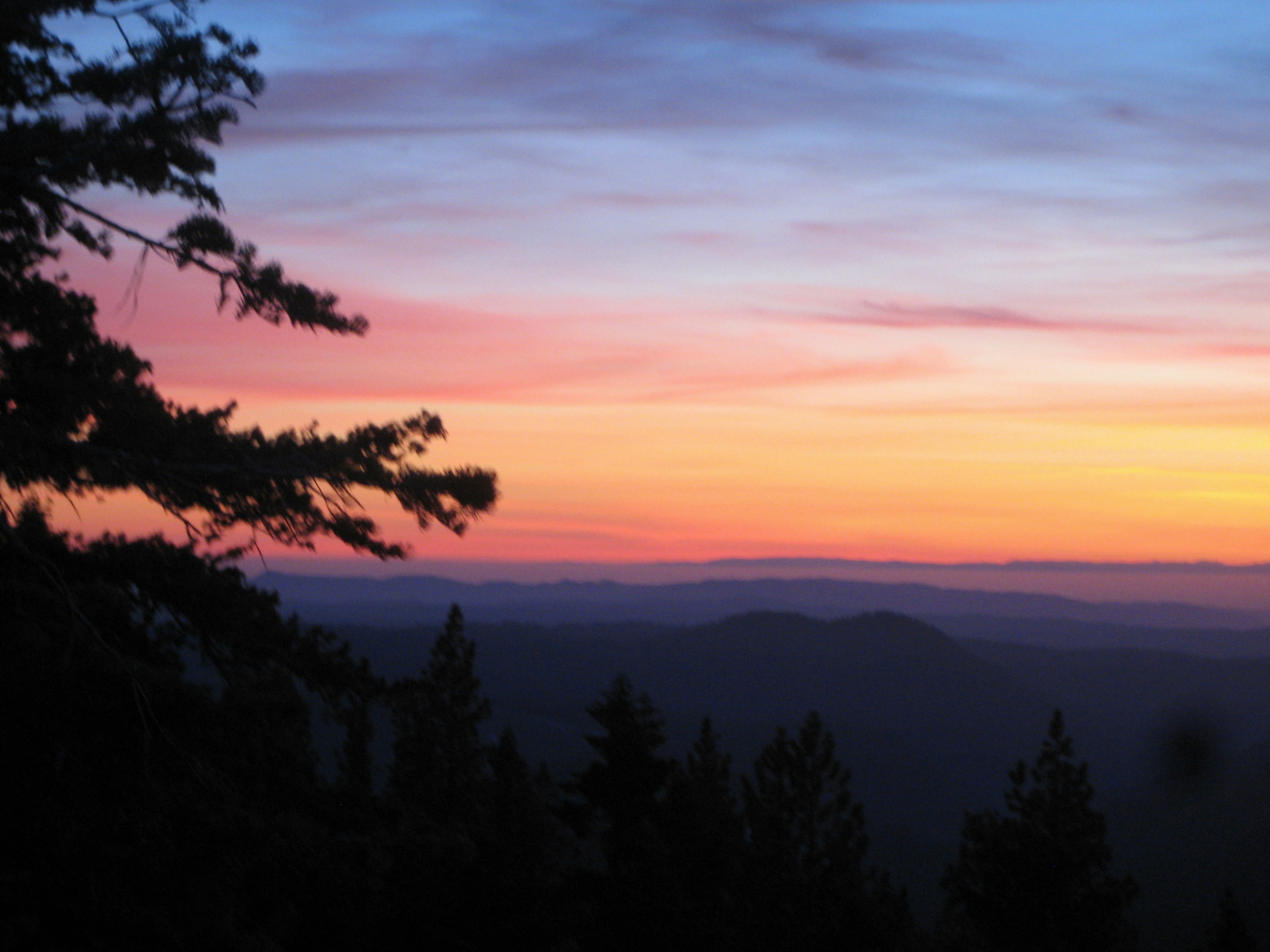
Painted Sky

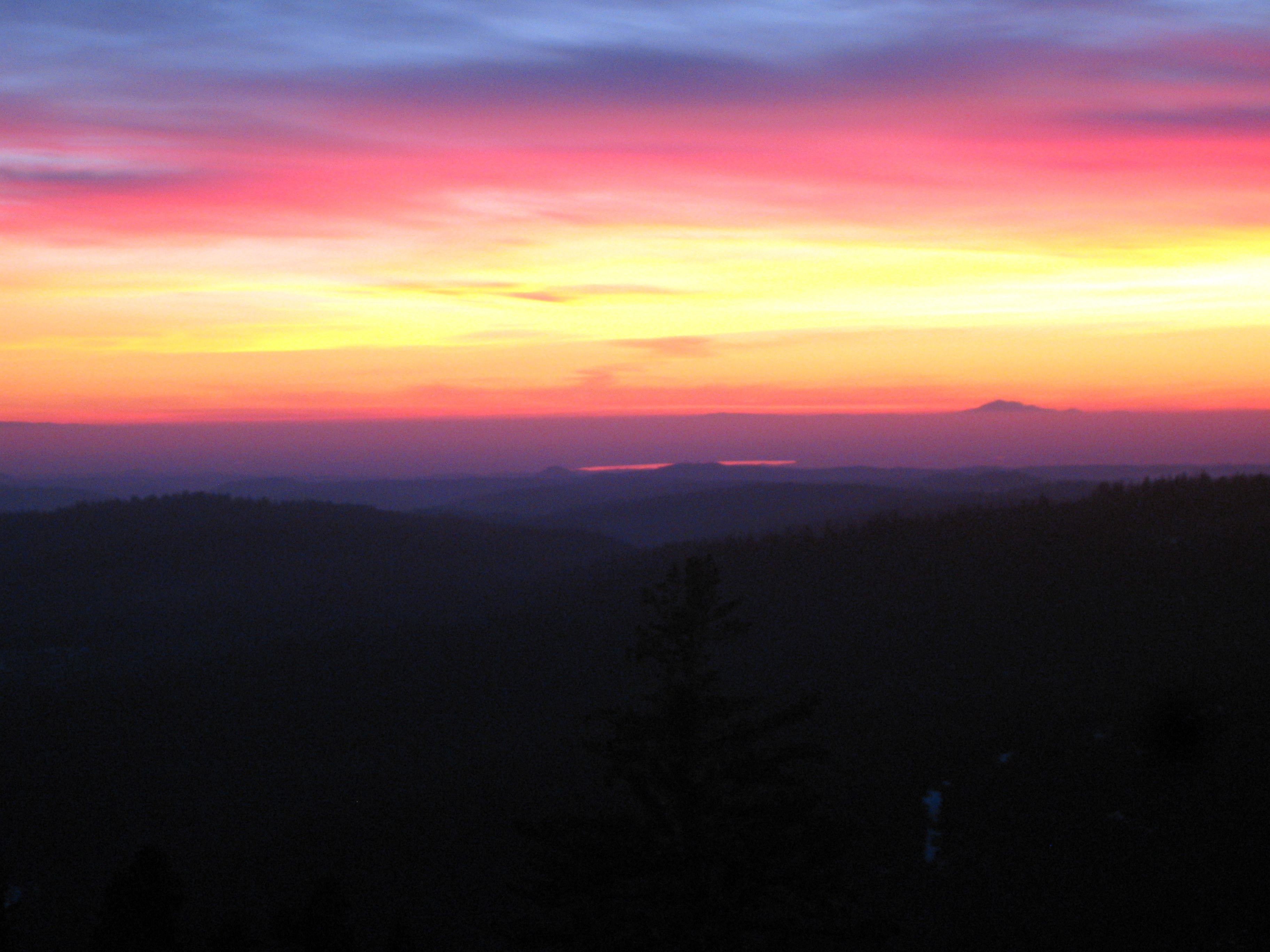
Red Sun
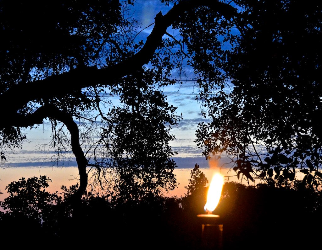
Cowboy Campfire, Dave Stamey, Hopkins, torch, sunset, Red Mule Ranch, Fiddletown,
#sunset #nature #mountains #pioneer

sunset, men,
sunset, hilltop, Red Mule Ranch, Fiddletown,

sunset, "Cowboy Campfire", cowboy, Fiddletown, Red Mule Ranch, Ron Scofield

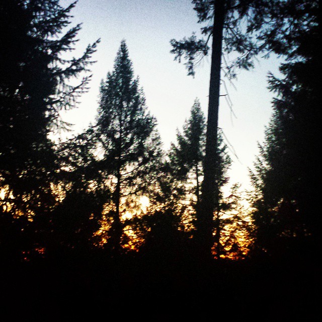
Sunrise through the trees in Amador County

Sunrise through the trees in Amador County

Sunrise through the trees in Amador County

Sunrise through the trees in Amador County

Sunrise Behind the Trees Amador County

Sunrise through the trees in Amador County

Sunrise through the trees in Amador County

Sunrise through the trees in Amador County

Sunrise through the trees in Amador County

Sunrise through the trees in Amador County
Mapa de Bobbie Ln, Pioneer, CA, EE. UU.
Buscar otro lugar
Lugares cercanos
Kathy Ln, Pioneer, CA, EE. UU.
Pioneer Inn & Suites, CA-88, Pioneer, CA, EE. UU.
Gallagher's Pub, CA-88, Pioneer, CA, EE. UU.
Mollie Joyce Park, Woodfern Dr, Pioneer, CA, EE. UU.
Pioneer Post Office, California, EE. UU.
Carson Dr, Pioneer, CA, EE. UU.
Carson Drive, Carson Dr, California, EE. UU.
Meadow Crest Dr, Pioneer, CA, EE. UU.
Pioneer Hardware, CA-88, Pioneer, CA, EE. UU.
Pioneer, California, EE. UU.
Pioneer Elementary School, CA-88, Pioneer, CA, EE. UU.
Schaefer Ranch Rd, Pioneer, CA, EE. UU.
Le's Chinese Restaurant, CA-88, Pioneer, CA, EE. UU.
Buckhorn Ridge Rd, Pioneer, CA, EE. UU.
Buckhorn Ridge Rd, Pioneer, CA, EE. UU.
Ridge Crest Dr, Pioneer, CA, EE. UU.
Pioneer Park, Buckhorn Ridge Rd, Pioneer, CA, EE. UU.
Cedar Heights Drive, Cedar Heights Dr, Pioneer, CA, EE. UU.
Cedar Heights Dr, Pioneer, CA, EE. UU.
W Point Pioneer Rd, West Point, CA, EE. UU.
Búsquedas recientes
- Horas de salida y puesta de sol de Red Dog Mine, AK, USA
- Horas de salida y puesta de sol de Am Bahnhof, Am bhf, Borken, Germany
- Horas de salida y puesta de sol de 4th St E, Sonoma, CA, EE. UU.
- Horas de salida y puesta de sol de Oakland Ave, Williamsport, PA, EE. UU.
- Horas de salida y puesta de sol de Via Roma, Pieranica CR, Italia
- Horas de salida y puesta de sol de Torre del reloj, Grad, Dubrovnik (Ragusa), Croacia
- Horas de salida y puesta de sol de Trelew, Chubut, Argentina
- Horas de salida y puesta de sol de Hartfords Bluff Cir, Mt Pleasant, SC, EE. UU.
- Horas de salida y puesta de sol de Kita Ward, Kumamoto, Japón
- Horas de salida y puesta de sol de Pingtan Island, Pingtan County, Fuzhou, China