| Zona horaria: | hora estándar oriental |
|---|---|
| Hora local: | miércoles, 11 de noviembre de 2026 22:33 |
| Longitud: | -68.0471069 |
| Latitud: | 44.8018122 |
| Amanecer hoy: | 6:25:04 |
| Atardecer hoy: | 16:10:05 |
| Horas de luz hoy: | 9h 45m 1s |
| Amanecer mañana: | 6:26:26 |
| Atardecer mañana: | 16:08:58 |
| Horas de luz mañana: | 9h 42m 32s |
: Mostrar todas las fechas
| Fecha | Salida de sol | Puesta de sol | Duración del día |
|---|---|---|---|
| 1 de ene. de 2026 | 7:10:56 | 16:01:53 | 8h 50m 56s |
| 1 de feb. de 2026 | 6:54:05 | 16:39:38 | 9h 45m 32s |
| 1 de mar. de 2026 | 6:13:19 | 17:19:07 | 11h 5m 47s |
| 1 de abr. de 2026 | 6:16:11 | 18:58:51 | 12h 42m 39s |
| 1 de may. de 2026 | 5:24:47 | 19:36:25 | 14h 11m 38s |
| 1 de jun. de 2026 | 4:51:33 | 20:11:06 | 15h 19m 32s |
| 1 de jul. de 2026 | 4:50:42 | 20:23:16 | 15h 32m 34s |
| 1 de ago. de 2026 | 5:18:02 | 20:01:32 | 14h 43m 30s |
| 1 de sep. de 2026 | 5:54:34 | 19:13:33 | 13h 18m 58s |
| 1 de oct. de 2026 | 6:29:54 | 18:16:58 | 11h 47m 4s |
| 1 de nov. de 2026 | 7:09:53 | 17:24:10 | 10h 14m 17s |
| 12 de nov. de 2026 | 6:25:04 | 16:10:05 | 9h 45m 1s |
| 13 de nov. de 2026 | 6:26:26 | 16:08:58 | 9h 42m 32s |
| 1 de dic. de 2026 | 6:49:42 | 15:54:57 | 9h 5m 15s |
Fotos de amanecer y atardecer

Unionville Bus Shelter by Brett of Binnshire
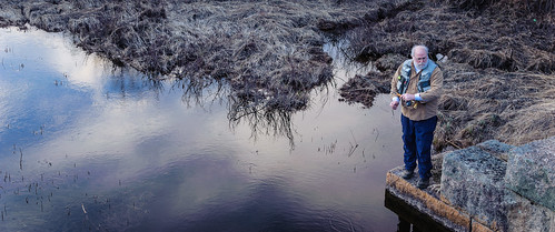
Todd Binns fly fishing by Brett of Binnshire

Sunset by jilpoke

Tunk Stream reflections by Brett of Binnshire
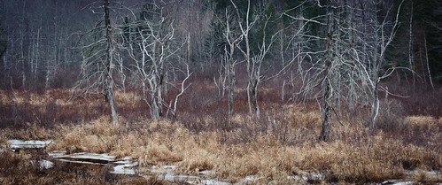
Tree gosts by Brett of Binnshire

American Bridge Company by Brett of Binnshire

Tunk Stream from old Down East Sunrise Trail rail bridge by Brett of Binnshire

Tunk at Dusk by Brett of Binnshire

Tunk Stream tributary by Brett of Binnshire
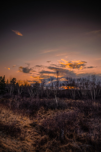
Sunset and Birch by Brett of Binnshire
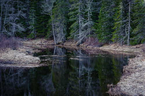
Evening calm along Tunk by Brett of Binnshire
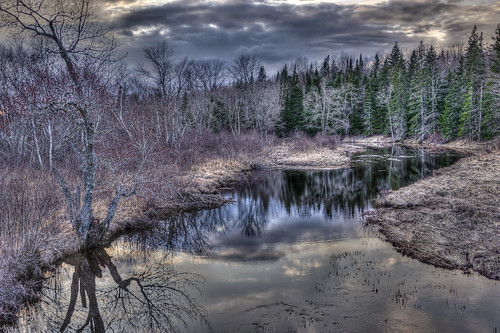
Tunk at Dusk by Brett of Binnshire

Tunk at Dusk by Brett of Binnshire

IMG_3302 by mdmarkus66

Sunset pond by topshampatti

IMG_1862 by mdmarkus66

Sunset Reflections_25000 feet by robertgodfrey57