Horas de salida y puesta de sol de -23 Mamada, Oyama-shi, Tochigi-ken -, Japón
Location: Japón > Prefectura de Tochigi > Oyama >
Zona horaria:
Asia/Tokyo
Hora local:
2025-06-04 22:26:00
Longitud:
139.7719098
Latitud:
36.2799022
Salida de sol de hoy:
04:23:48 AM
Puesta de sol de hoy:
06:54:44 PM
La duración del día hoy:
14h 30m 56s
Salida de sol de mañana:
04:23:34 AM
Puesta de sol de mañana:
06:55:19 PM
La duración del día mañana:
14h 31m 45s
Mostrar todas las fechas
| Fecha | Salida de sol | Puesta de sol | Duración del día |
|---|---|---|---|
| 01/01/2025 | 06:52:10 AM | 04:36:46 PM | 9h 44m 36s |
| 02/01/2025 | 06:52:19 AM | 04:37:33 PM | 9h 45m 14s |
| 03/01/2025 | 06:52:26 AM | 04:38:21 PM | 9h 45m 55s |
| 04/01/2025 | 06:52:31 AM | 04:39:11 PM | 9h 46m 40s |
| 05/01/2025 | 06:52:34 AM | 04:40:01 PM | 9h 47m 27s |
| 06/01/2025 | 06:52:36 AM | 04:40:53 PM | 9h 48m 17s |
| 07/01/2025 | 06:52:35 AM | 04:41:46 PM | 9h 49m 11s |
| 08/01/2025 | 06:52:32 AM | 04:42:40 PM | 9h 50m 8s |
| 09/01/2025 | 06:52:27 AM | 04:43:34 PM | 9h 51m 7s |
| 10/01/2025 | 06:52:21 AM | 04:44:30 PM | 9h 52m 9s |
| 11/01/2025 | 06:52:12 AM | 04:45:26 PM | 9h 53m 14s |
| 12/01/2025 | 06:52:01 AM | 04:46:24 PM | 9h 54m 23s |
| 13/01/2025 | 06:51:49 AM | 04:47:21 PM | 9h 55m 32s |
| 14/01/2025 | 06:51:34 AM | 04:48:20 PM | 9h 56m 46s |
| 15/01/2025 | 06:51:17 AM | 04:49:19 PM | 9h 58m 2s |
| 16/01/2025 | 06:50:59 AM | 04:50:19 PM | 9h 59m 20s |
| 17/01/2025 | 06:50:38 AM | 04:51:20 PM | 10h 0m 42s |
| 18/01/2025 | 06:50:16 AM | 04:52:21 PM | 10h 2m 5s |
| 19/01/2025 | 06:49:52 AM | 04:53:22 PM | 10h 3m 30s |
| 20/01/2025 | 06:49:25 AM | 04:54:24 PM | 10h 4m 59s |
| 21/01/2025 | 06:48:57 AM | 04:55:26 PM | 10h 6m 29s |
| 22/01/2025 | 06:48:27 AM | 04:56:29 PM | 10h 8m 2s |
| 23/01/2025 | 06:47:56 AM | 04:57:31 PM | 10h 9m 35s |
| 24/01/2025 | 06:47:22 AM | 04:58:35 PM | 10h 11m 13s |
| 25/01/2025 | 06:46:47 AM | 04:59:38 PM | 10h 12m 51s |
| 26/01/2025 | 06:46:10 AM | 05:00:41 PM | 10h 14m 31s |
| 27/01/2025 | 06:45:31 AM | 05:01:45 PM | 10h 16m 14s |
| 28/01/2025 | 06:44:50 AM | 05:02:48 PM | 10h 17m 58s |
| 29/01/2025 | 06:44:08 AM | 05:03:52 PM | 10h 19m 44s |
| 30/01/2025 | 06:43:24 AM | 05:04:56 PM | 10h 21m 32s |
| 31/01/2025 | 06:42:39 AM | 05:06:00 PM | 10h 23m 21s |
| 01/02/2025 | 06:41:51 AM | 05:07:04 PM | 10h 25m 13s |
| 02/02/2025 | 06:41:03 AM | 05:08:07 PM | 10h 27m 4s |
| 03/02/2025 | 06:40:12 AM | 05:09:11 PM | 10h 28m 59s |
| 04/02/2025 | 06:39:21 AM | 05:10:14 PM | 10h 30m 53s |
| 05/02/2025 | 06:38:27 AM | 05:11:18 PM | 10h 32m 51s |
| 06/02/2025 | 06:37:32 AM | 05:12:21 PM | 10h 34m 49s |
| 07/02/2025 | 06:36:36 AM | 05:13:24 PM | 10h 36m 48s |
| 08/02/2025 | 06:35:39 AM | 05:14:27 PM | 10h 38m 48s |
| 09/02/2025 | 06:34:40 AM | 05:15:30 PM | 10h 40m 50s |
| 10/02/2025 | 06:33:39 AM | 05:16:32 PM | 10h 42m 53s |
| 11/02/2025 | 06:32:38 AM | 05:17:34 PM | 10h 44m 56s |
| 12/02/2025 | 06:31:35 AM | 05:18:36 PM | 10h 47m 1s |
| 13/02/2025 | 06:30:31 AM | 05:19:38 PM | 10h 49m 7s |
| 14/02/2025 | 06:29:26 AM | 05:20:39 PM | 10h 51m 13s |
| 15/02/2025 | 06:28:19 AM | 05:21:40 PM | 10h 53m 21s |
| 16/02/2025 | 06:27:11 AM | 05:22:41 PM | 10h 55m 30s |
| 17/02/2025 | 06:26:03 AM | 05:23:42 PM | 10h 57m 39s |
| 18/02/2025 | 06:24:53 AM | 05:24:42 PM | 10h 59m 49s |
| 19/02/2025 | 06:23:42 AM | 05:25:42 PM | 11h 2m 0s |
| 20/02/2025 | 06:22:30 AM | 05:26:41 PM | 11h 4m 11s |
| 21/02/2025 | 06:21:17 AM | 05:27:41 PM | 11h 6m 24s |
| 22/02/2025 | 06:20:04 AM | 05:28:39 PM | 11h 8m 35s |
| 23/02/2025 | 06:18:49 AM | 05:29:38 PM | 11h 10m 49s |
| 24/02/2025 | 06:17:33 AM | 05:30:36 PM | 11h 13m 3s |
| 25/02/2025 | 06:16:17 AM | 05:31:34 PM | 11h 15m 17s |
| 26/02/2025 | 06:15:00 AM | 05:32:32 PM | 11h 17m 32s |
| 27/02/2025 | 06:13:42 AM | 05:33:29 PM | 11h 19m 47s |
| 28/02/2025 | 06:12:23 AM | 05:34:26 PM | 11h 22m 3s |
| 01/03/2025 | 06:11:03 AM | 05:35:23 PM | 11h 24m 20s |
| 02/03/2025 | 06:09:43 AM | 05:36:19 PM | 11h 26m 36s |
| 03/03/2025 | 06:08:22 AM | 05:37:15 PM | 11h 28m 53s |
| 04/03/2025 | 06:07:01 AM | 05:38:11 PM | 11h 31m 10s |
| 05/03/2025 | 06:05:39 AM | 05:39:06 PM | 11h 33m 27s |
| 06/03/2025 | 06:04:16 AM | 05:40:01 PM | 11h 35m 45s |
| 07/03/2025 | 06:02:53 AM | 05:40:56 PM | 11h 38m 3s |
| 08/03/2025 | 06:01:29 AM | 05:41:50 PM | 11h 40m 21s |
| 09/03/2025 | 06:00:05 AM | 05:42:45 PM | 11h 42m 40s |
| 10/03/2025 | 05:58:41 AM | 05:43:39 PM | 11h 44m 58s |
| 11/03/2025 | 05:57:16 AM | 05:44:32 PM | 11h 47m 16s |
| 12/03/2025 | 05:55:50 AM | 05:45:26 PM | 11h 49m 36s |
| 13/03/2025 | 05:54:25 AM | 05:46:19 PM | 11h 51m 54s |
| 14/03/2025 | 05:52:59 AM | 05:47:12 PM | 11h 54m 13s |
| 15/03/2025 | 05:51:32 AM | 05:48:05 PM | 11h 56m 33s |
| 16/03/2025 | 05:50:06 AM | 05:48:58 PM | 11h 58m 52s |
| 17/03/2025 | 05:48:39 AM | 05:49:50 PM | 12h 1m 11s |
| 18/03/2025 | 05:47:12 AM | 05:50:42 PM | 12h 3m 30s |
| 19/03/2025 | 05:45:45 AM | 05:51:35 PM | 12h 5m 50s |
| 20/03/2025 | 05:44:17 AM | 05:52:27 PM | 12h 8m 10s |
| 21/03/2025 | 05:42:50 AM | 05:53:18 PM | 12h 10m 28s |
| 22/03/2025 | 05:41:23 AM | 05:54:10 PM | 12h 12m 47s |
| 23/03/2025 | 05:39:55 AM | 05:55:02 PM | 12h 15m 7s |
| 24/03/2025 | 05:38:28 AM | 05:55:53 PM | 12h 17m 25s |
| 25/03/2025 | 05:37:00 AM | 05:56:44 PM | 12h 19m 44s |
| 26/03/2025 | 05:35:33 AM | 05:57:36 PM | 12h 22m 3s |
| 27/03/2025 | 05:34:05 AM | 05:58:27 PM | 12h 24m 22s |
| 28/03/2025 | 05:32:38 AM | 05:59:18 PM | 12h 26m 40s |
| 29/03/2025 | 05:31:11 AM | 06:00:09 PM | 12h 28m 58s |
| 30/03/2025 | 05:29:44 AM | 06:01:00 PM | 12h 31m 16s |
| 31/03/2025 | 05:28:17 AM | 06:01:51 PM | 12h 33m 34s |
| 01/04/2025 | 05:26:50 AM | 06:02:42 PM | 12h 35m 52s |
| 02/04/2025 | 05:25:24 AM | 06:03:33 PM | 12h 38m 9s |
| 03/04/2025 | 05:23:58 AM | 06:04:24 PM | 12h 40m 26s |
| 04/04/2025 | 05:22:32 AM | 06:05:15 PM | 12h 42m 43s |
| 05/04/2025 | 05:21:07 AM | 06:06:05 PM | 12h 44m 58s |
| 06/04/2025 | 05:19:42 AM | 06:06:56 PM | 12h 47m 14s |
| 07/04/2025 | 05:18:17 AM | 06:07:47 PM | 12h 49m 30s |
| 08/04/2025 | 05:16:53 AM | 06:08:38 PM | 12h 51m 45s |
| 09/04/2025 | 05:15:29 AM | 06:09:29 PM | 12h 54m 0s |
| 10/04/2025 | 05:14:06 AM | 06:10:20 PM | 12h 56m 14s |
| 11/04/2025 | 05:12:43 AM | 06:11:11 PM | 12h 58m 28s |
| 12/04/2025 | 05:11:20 AM | 06:12:02 PM | 13h 0m 42s |
| 13/04/2025 | 05:09:59 AM | 06:12:54 PM | 13h 2m 55s |
| 14/04/2025 | 05:08:38 AM | 06:13:45 PM | 13h 5m 7s |
| 15/04/2025 | 05:07:17 AM | 06:14:36 PM | 13h 7m 19s |
| 16/04/2025 | 05:05:57 AM | 06:15:27 PM | 13h 9m 30s |
| 17/04/2025 | 05:04:38 AM | 06:16:19 PM | 13h 11m 41s |
| 18/04/2025 | 05:03:20 AM | 06:17:10 PM | 13h 13m 50s |
| 19/04/2025 | 05:02:02 AM | 06:18:02 PM | 13h 16m 0s |
| 20/04/2025 | 05:00:45 AM | 06:18:53 PM | 13h 18m 8s |
| 21/04/2025 | 04:59:29 AM | 06:19:45 PM | 13h 20m 16s |
| 22/04/2025 | 04:58:14 AM | 06:20:36 PM | 13h 22m 22s |
| 23/04/2025 | 04:57:00 AM | 06:21:28 PM | 13h 24m 28s |
| 24/04/2025 | 04:55:46 AM | 06:22:20 PM | 13h 26m 34s |
| 25/04/2025 | 04:54:34 AM | 06:23:11 PM | 13h 28m 37s |
| 26/04/2025 | 04:53:22 AM | 06:24:03 PM | 13h 30m 41s |
| 27/04/2025 | 04:52:12 AM | 06:24:55 PM | 13h 32m 43s |
| 28/04/2025 | 04:51:02 AM | 06:25:47 PM | 13h 34m 45s |
| 29/04/2025 | 04:49:53 AM | 06:26:38 PM | 13h 36m 45s |
| 30/04/2025 | 04:48:46 AM | 06:27:30 PM | 13h 38m 44s |
| 01/05/2025 | 04:47:40 AM | 06:28:22 PM | 13h 40m 42s |
| 02/05/2025 | 04:46:34 AM | 06:29:13 PM | 13h 42m 39s |
| 03/05/2025 | 04:45:30 AM | 06:30:05 PM | 13h 44m 35s |
| 04/05/2025 | 04:44:27 AM | 06:30:56 PM | 13h 46m 29s |
| 05/05/2025 | 04:43:25 AM | 06:31:48 PM | 13h 48m 23s |
| 06/05/2025 | 04:42:25 AM | 06:32:39 PM | 13h 50m 14s |
| 07/05/2025 | 04:41:26 AM | 06:33:30 PM | 13h 52m 4s |
| 08/05/2025 | 04:40:28 AM | 06:34:21 PM | 13h 53m 53s |
| 09/05/2025 | 04:39:31 AM | 06:35:12 PM | 13h 55m 41s |
| 10/05/2025 | 04:38:36 AM | 06:36:03 PM | 13h 57m 27s |
| 11/05/2025 | 04:37:42 AM | 06:36:53 PM | 13h 59m 11s |
| 12/05/2025 | 04:36:49 AM | 06:37:43 PM | 14h 0m 54s |
| 13/05/2025 | 04:35:58 AM | 06:38:33 PM | 14h 2m 35s |
| 14/05/2025 | 04:35:08 AM | 06:39:23 PM | 14h 4m 15s |
| 15/05/2025 | 04:34:20 AM | 06:40:12 PM | 14h 5m 52s |
| 16/05/2025 | 04:33:33 AM | 06:41:01 PM | 14h 7m 28s |
| 17/05/2025 | 04:32:48 AM | 06:41:50 PM | 14h 9m 2s |
| 18/05/2025 | 04:32:04 AM | 06:42:38 PM | 14h 10m 34s |
| 19/05/2025 | 04:31:22 AM | 06:43:26 PM | 14h 12m 4s |
| 20/05/2025 | 04:30:41 AM | 06:44:13 PM | 14h 13m 32s |
| 21/05/2025 | 04:30:02 AM | 06:45:00 PM | 14h 14m 58s |
| 22/05/2025 | 04:29:25 AM | 06:45:46 PM | 14h 16m 21s |
| 23/05/2025 | 04:28:49 AM | 06:46:32 PM | 14h 17m 43s |
| 24/05/2025 | 04:28:14 AM | 06:47:17 PM | 14h 19m 3s |
| 25/05/2025 | 04:27:42 AM | 06:48:01 PM | 14h 20m 19s |
| 26/05/2025 | 04:27:11 AM | 06:48:45 PM | 14h 21m 34s |
| 27/05/2025 | 04:26:42 AM | 06:49:28 PM | 14h 22m 46s |
| 28/05/2025 | 04:26:14 AM | 06:50:10 PM | 14h 23m 56s |
| 29/05/2025 | 04:25:48 AM | 06:50:52 PM | 14h 25m 4s |
| 30/05/2025 | 04:25:24 AM | 06:51:33 PM | 14h 26m 9s |
| 31/05/2025 | 04:25:01 AM | 06:52:13 PM | 14h 27m 12s |
| 01/06/2025 | 04:24:40 AM | 06:52:51 PM | 14h 28m 11s |
| 02/06/2025 | 04:24:21 AM | 06:53:30 PM | 14h 29m 9s |
| 03/06/2025 | 04:24:04 AM | 06:54:07 PM | 14h 30m 3s |
| 04/06/2025 | 04:23:48 AM | 06:54:43 PM | 14h 30m 55s |
| 05/06/2025 | 04:23:34 AM | 06:55:18 PM | 14h 31m 44s |
| 06/06/2025 | 04:23:22 AM | 06:55:52 PM | 14h 32m 30s |
| 07/06/2025 | 04:23:11 AM | 06:56:24 PM | 14h 33m 13s |
| 08/06/2025 | 04:23:03 AM | 06:56:56 PM | 14h 33m 53s |
| 09/06/2025 | 04:22:56 AM | 06:57:26 PM | 14h 34m 30s |
| 10/06/2025 | 04:22:50 AM | 06:57:56 PM | 14h 35m 6s |
| 11/06/2025 | 04:22:47 AM | 06:58:24 PM | 14h 35m 37s |
| 12/06/2025 | 04:22:45 AM | 06:58:50 PM | 14h 36m 5s |
| 13/06/2025 | 04:22:44 AM | 06:59:16 PM | 14h 36m 32s |
| 14/06/2025 | 04:22:46 AM | 06:59:40 PM | 14h 36m 54s |
| 15/06/2025 | 04:22:49 AM | 07:00:02 PM | 14h 37m 13s |
| 16/06/2025 | 04:22:53 AM | 07:00:23 PM | 14h 37m 30s |
| 17/06/2025 | 04:22:59 AM | 07:00:43 PM | 14h 37m 44s |
| 18/06/2025 | 04:23:07 AM | 07:01:01 PM | 14h 37m 54s |
| 19/06/2025 | 04:23:17 AM | 07:01:18 PM | 14h 38m 1s |
| 20/06/2025 | 04:23:28 AM | 07:01:33 PM | 14h 38m 5s |
| 21/06/2025 | 04:23:40 AM | 07:01:47 PM | 14h 38m 7s |
| 22/06/2025 | 04:23:54 AM | 07:01:59 PM | 14h 38m 5s |
| 23/06/2025 | 04:24:10 AM | 07:02:09 PM | 14h 37m 59s |
| 24/06/2025 | 04:24:27 AM | 07:02:18 PM | 14h 37m 51s |
| 25/06/2025 | 04:24:45 AM | 07:02:25 PM | 14h 37m 40s |
| 26/06/2025 | 04:25:05 AM | 07:02:31 PM | 14h 37m 26s |
| 27/06/2025 | 04:25:26 AM | 07:02:35 PM | 14h 37m 9s |
| 28/06/2025 | 04:25:49 AM | 07:02:37 PM | 14h 36m 48s |
| 29/06/2025 | 04:26:12 AM | 07:02:37 PM | 14h 36m 25s |
| 30/06/2025 | 04:26:38 AM | 07:02:36 PM | 14h 35m 58s |
| 01/07/2025 | 04:27:04 AM | 07:02:33 PM | 14h 35m 29s |
| 02/07/2025 | 04:27:31 AM | 07:02:28 PM | 14h 34m 57s |
| 03/07/2025 | 04:28:00 AM | 07:02:22 PM | 14h 34m 22s |
| 04/07/2025 | 04:28:30 AM | 07:02:13 PM | 14h 33m 43s |
| 05/07/2025 | 04:29:01 AM | 07:02:03 PM | 14h 33m 2s |
| 06/07/2025 | 04:29:33 AM | 07:01:52 PM | 14h 32m 19s |
| 07/07/2025 | 04:30:06 AM | 07:01:38 PM | 14h 31m 32s |
| 08/07/2025 | 04:30:40 AM | 07:01:23 PM | 14h 30m 43s |
| 09/07/2025 | 04:31:15 AM | 07:01:06 PM | 14h 29m 51s |
| 10/07/2025 | 04:31:51 AM | 07:00:47 PM | 14h 28m 56s |
| 11/07/2025 | 04:32:28 AM | 07:00:26 PM | 14h 27m 58s |
| 12/07/2025 | 04:33:06 AM | 07:00:04 PM | 14h 26m 58s |
| 13/07/2025 | 04:33:44 AM | 06:59:40 PM | 14h 25m 56s |
| 14/07/2025 | 04:34:24 AM | 06:59:14 PM | 14h 24m 50s |
| 15/07/2025 | 04:35:04 AM | 06:58:47 PM | 14h 23m 43s |
| 16/07/2025 | 04:35:45 AM | 06:58:17 PM | 14h 22m 32s |
| 17/07/2025 | 04:36:26 AM | 06:57:46 PM | 14h 21m 20s |
| 18/07/2025 | 04:37:08 AM | 06:57:14 PM | 14h 20m 6s |
| 19/07/2025 | 04:37:51 AM | 06:56:39 PM | 14h 18m 48s |
| 20/07/2025 | 04:38:34 AM | 06:56:03 PM | 14h 17m 29s |
| 21/07/2025 | 04:39:17 AM | 06:55:26 PM | 14h 16m 9s |
| 22/07/2025 | 04:40:02 AM | 06:54:46 PM | 14h 14m 44s |
| 23/07/2025 | 04:40:46 AM | 06:54:06 PM | 14h 13m 20s |
| 24/07/2025 | 04:41:31 AM | 06:53:23 PM | 14h 11m 52s |
| 25/07/2025 | 04:42:17 AM | 06:52:39 PM | 14h 10m 22s |
| 26/07/2025 | 04:43:03 AM | 06:51:53 PM | 14h 8m 50s |
| 27/07/2025 | 04:43:49 AM | 06:51:06 PM | 14h 7m 17s |
| 28/07/2025 | 04:44:35 AM | 06:50:18 PM | 14h 5m 43s |
| 29/07/2025 | 04:45:22 AM | 06:49:27 PM | 14h 4m 5s |
| 30/07/2025 | 04:46:09 AM | 06:48:36 PM | 14h 2m 27s |
| 31/07/2025 | 04:46:56 AM | 06:47:43 PM | 14h 0m 47s |
| 01/08/2025 | 04:47:44 AM | 06:46:48 PM | 13h 59m 4s |
| 02/08/2025 | 04:48:31 AM | 06:45:53 PM | 13h 57m 22s |
| 03/08/2025 | 04:49:19 AM | 06:44:55 PM | 13h 55m 36s |
| 04/08/2025 | 04:50:07 AM | 06:43:57 PM | 13h 53m 50s |
| 05/08/2025 | 04:50:55 AM | 06:42:57 PM | 13h 52m 2s |
| 06/08/2025 | 04:51:43 AM | 06:41:56 PM | 13h 50m 13s |
| 07/08/2025 | 04:52:31 AM | 06:40:53 PM | 13h 48m 22s |
| 08/08/2025 | 04:53:19 AM | 06:39:50 PM | 13h 46m 31s |
| 09/08/2025 | 04:54:08 AM | 06:38:45 PM | 13h 44m 37s |
| 10/08/2025 | 04:54:56 AM | 06:37:39 PM | 13h 42m 43s |
| 11/08/2025 | 04:55:44 AM | 06:36:31 PM | 13h 40m 47s |
| 12/08/2025 | 04:56:32 AM | 06:35:23 PM | 13h 38m 51s |
| 13/08/2025 | 04:57:21 AM | 06:34:14 PM | 13h 36m 53s |
| 14/08/2025 | 04:58:09 AM | 06:33:03 PM | 13h 34m 54s |
| 15/08/2025 | 04:58:57 AM | 06:31:52 PM | 13h 32m 55s |
| 16/08/2025 | 04:59:45 AM | 06:30:39 PM | 13h 30m 54s |
| 17/08/2025 | 05:00:34 AM | 06:29:25 PM | 13h 28m 51s |
| 18/08/2025 | 05:01:22 AM | 06:28:11 PM | 13h 26m 49s |
| 19/08/2025 | 05:02:10 AM | 06:26:55 PM | 13h 24m 45s |
| 20/08/2025 | 05:02:57 AM | 06:25:39 PM | 13h 22m 42s |
| 21/08/2025 | 05:03:45 AM | 06:24:22 PM | 13h 20m 37s |
| 22/08/2025 | 05:04:33 AM | 06:23:04 PM | 13h 18m 31s |
| 23/08/2025 | 05:05:21 AM | 06:21:45 PM | 13h 16m 24s |
| 24/08/2025 | 05:06:08 AM | 06:20:25 PM | 13h 14m 17s |
| 25/08/2025 | 05:06:56 AM | 06:19:05 PM | 13h 12m 9s |
| 26/08/2025 | 05:07:43 AM | 06:17:44 PM | 13h 10m 1s |
| 27/08/2025 | 05:08:31 AM | 06:16:22 PM | 13h 7m 51s |
| 28/08/2025 | 05:09:18 AM | 06:15:00 PM | 13h 5m 42s |
| 29/08/2025 | 05:10:05 AM | 06:13:37 PM | 13h 3m 32s |
| 30/08/2025 | 05:10:52 AM | 06:12:13 PM | 13h 1m 21s |
| 31/08/2025 | 05:11:39 AM | 06:10:49 PM | 12h 59m 10s |
| 01/09/2025 | 05:12:26 AM | 06:09:24 PM | 12h 56m 58s |
| 02/09/2025 | 05:13:13 AM | 06:07:58 PM | 12h 54m 45s |
| 03/09/2025 | 05:14:00 AM | 06:06:32 PM | 12h 52m 32s |
| 04/09/2025 | 05:14:47 AM | 06:05:06 PM | 12h 50m 19s |
| 05/09/2025 | 05:15:33 AM | 06:03:39 PM | 12h 48m 6s |
| 06/09/2025 | 05:16:20 AM | 06:02:12 PM | 12h 45m 52s |
| 07/09/2025 | 05:17:07 AM | 06:00:45 PM | 12h 43m 38s |
| 08/09/2025 | 05:17:53 AM | 05:59:17 PM | 12h 41m 24s |
| 09/09/2025 | 05:18:40 AM | 05:57:49 PM | 12h 39m 9s |
| 10/09/2025 | 05:19:26 AM | 05:56:20 PM | 12h 36m 54s |
| 11/09/2025 | 05:20:13 AM | 05:54:51 PM | 12h 34m 38s |
| 12/09/2025 | 05:21:00 AM | 05:53:22 PM | 12h 32m 22s |
| 13/09/2025 | 05:21:46 AM | 05:51:53 PM | 12h 30m 7s |
| 14/09/2025 | 05:22:33 AM | 05:50:24 PM | 12h 27m 51s |
| 15/09/2025 | 05:23:19 AM | 05:48:54 PM | 12h 25m 35s |
| 16/09/2025 | 05:24:06 AM | 05:47:25 PM | 12h 23m 19s |
| 17/09/2025 | 05:24:53 AM | 05:45:55 PM | 12h 21m 2s |
| 18/09/2025 | 05:25:40 AM | 05:44:25 PM | 12h 18m 45s |
| 19/09/2025 | 05:26:27 AM | 05:42:55 PM | 12h 16m 28s |
| 20/09/2025 | 05:27:14 AM | 05:41:26 PM | 12h 14m 12s |
| 21/09/2025 | 05:28:01 AM | 05:39:56 PM | 12h 11m 55s |
| 22/09/2025 | 05:28:48 AM | 05:38:26 PM | 12h 9m 38s |
| 23/09/2025 | 05:29:36 AM | 05:36:56 PM | 12h 7m 20s |
| 24/09/2025 | 05:30:24 AM | 05:35:27 PM | 12h 5m 3s |
| 25/09/2025 | 05:31:11 AM | 05:33:57 PM | 12h 2m 46s |
| 26/09/2025 | 05:31:59 AM | 05:32:28 PM | 12h 0m 29s |
| 27/09/2025 | 05:32:47 AM | 05:30:59 PM | 11h 58m 12s |
| 28/09/2025 | 05:33:36 AM | 05:29:30 PM | 11h 55m 54s |
| 29/09/2025 | 05:34:24 AM | 05:28:02 PM | 11h 53m 38s |
| 30/09/2025 | 05:35:13 AM | 05:26:34 PM | 11h 51m 21s |
| 01/10/2025 | 05:36:02 AM | 05:25:06 PM | 11h 49m 4s |
| 02/10/2025 | 05:36:51 AM | 05:23:38 PM | 11h 46m 47s |
| 03/10/2025 | 05:37:40 AM | 05:22:11 PM | 11h 44m 31s |
| 04/10/2025 | 05:38:30 AM | 05:20:44 PM | 11h 42m 14s |
| 05/10/2025 | 05:39:20 AM | 05:19:18 PM | 11h 39m 58s |
| 06/10/2025 | 05:40:10 AM | 05:17:52 PM | 11h 37m 42s |
| 07/10/2025 | 05:41:01 AM | 05:16:27 PM | 11h 35m 26s |
| 08/10/2025 | 05:41:51 AM | 05:15:02 PM | 11h 33m 11s |
| 09/10/2025 | 05:42:43 AM | 05:13:38 PM | 11h 30m 55s |
| 10/10/2025 | 05:43:34 AM | 05:12:14 PM | 11h 28m 40s |
| 11/10/2025 | 05:44:26 AM | 05:10:51 PM | 11h 26m 25s |
| 12/10/2025 | 05:45:18 AM | 05:09:28 PM | 11h 24m 10s |
| 13/10/2025 | 05:46:10 AM | 05:08:07 PM | 11h 21m 57s |
| 14/10/2025 | 05:47:03 AM | 05:06:46 PM | 11h 19m 43s |
| 15/10/2025 | 05:47:56 AM | 05:05:25 PM | 11h 17m 29s |
| 16/10/2025 | 05:48:50 AM | 05:04:06 PM | 11h 15m 16s |
| 17/10/2025 | 05:49:43 AM | 05:02:47 PM | 11h 13m 4s |
| 18/10/2025 | 05:50:37 AM | 05:01:29 PM | 11h 10m 52s |
| 19/10/2025 | 05:51:32 AM | 05:00:13 PM | 11h 8m 41s |
| 20/10/2025 | 05:52:27 AM | 04:58:56 PM | 11h 6m 29s |
| 21/10/2025 | 05:53:22 AM | 04:57:41 PM | 11h 4m 19s |
| 22/10/2025 | 05:54:18 AM | 04:56:27 PM | 11h 2m 9s |
| 23/10/2025 | 05:55:13 AM | 04:55:14 PM | 11h 0m 1s |
| 24/10/2025 | 05:56:10 AM | 04:54:02 PM | 10h 57m 52s |
| 25/10/2025 | 05:57:06 AM | 04:52:51 PM | 10h 55m 45s |
| 26/10/2025 | 05:58:03 AM | 04:51:41 PM | 10h 53m 38s |
| 27/10/2025 | 05:59:01 AM | 04:50:32 PM | 10h 51m 31s |
| 28/10/2025 | 05:59:58 AM | 04:49:25 PM | 10h 49m 27s |
| 29/10/2025 | 06:00:56 AM | 04:48:18 PM | 10h 47m 22s |
| 30/10/2025 | 06:01:54 AM | 04:47:13 PM | 10h 45m 19s |
| 31/10/2025 | 06:02:53 AM | 04:46:09 PM | 10h 43m 16s |
| 01/11/2025 | 06:03:52 AM | 04:45:06 PM | 10h 41m 14s |
| 02/11/2025 | 06:04:51 AM | 04:44:05 PM | 10h 39m 14s |
| 03/11/2025 | 06:05:50 AM | 04:43:05 PM | 10h 37m 15s |
| 04/11/2025 | 06:06:50 AM | 04:42:07 PM | 10h 35m 17s |
| 05/11/2025 | 06:07:50 AM | 04:41:09 PM | 10h 33m 19s |
| 06/11/2025 | 06:08:50 AM | 04:40:14 PM | 10h 31m 24s |
| 07/11/2025 | 06:09:50 AM | 04:39:20 PM | 10h 29m 30s |
| 08/11/2025 | 06:10:50 AM | 04:38:27 PM | 10h 27m 37s |
| 09/11/2025 | 06:11:51 AM | 04:37:36 PM | 10h 25m 45s |
| 10/11/2025 | 06:12:52 AM | 04:36:46 PM | 10h 23m 54s |
| 11/11/2025 | 06:13:52 AM | 04:35:58 PM | 10h 22m 6s |
| 12/11/2025 | 06:14:53 AM | 04:35:12 PM | 10h 20m 19s |
| 13/11/2025 | 06:15:54 AM | 04:34:27 PM | 10h 18m 33s |
| 14/11/2025 | 06:16:55 AM | 04:33:44 PM | 10h 16m 49s |
| 15/11/2025 | 06:17:56 AM | 04:33:03 PM | 10h 15m 7s |
| 16/11/2025 | 06:18:56 AM | 04:32:23 PM | 10h 13m 27s |
| 17/11/2025 | 06:19:57 AM | 04:31:46 PM | 10h 11m 49s |
| 18/11/2025 | 06:20:58 AM | 04:31:10 PM | 10h 10m 12s |
| 19/11/2025 | 06:21:58 AM | 04:30:35 PM | 10h 8m 37s |
| 20/11/2025 | 06:22:58 AM | 04:30:03 PM | 10h 7m 5s |
| 21/11/2025 | 06:23:58 AM | 04:29:33 PM | 10h 5m 35s |
| 22/11/2025 | 06:24:58 AM | 04:29:04 PM | 10h 4m 6s |
| 23/11/2025 | 06:25:57 AM | 04:28:37 PM | 10h 2m 40s |
| 24/11/2025 | 06:26:56 AM | 04:28:13 PM | 10h 1m 17s |
| 25/11/2025 | 06:27:55 AM | 04:27:50 PM | 9h 59m 55s |
| 26/11/2025 | 06:28:53 AM | 04:27:29 PM | 9h 58m 36s |
| 27/11/2025 | 06:29:51 AM | 04:27:10 PM | 9h 57m 19s |
| 28/11/2025 | 06:30:48 AM | 04:26:53 PM | 9h 56m 5s |
| 29/11/2025 | 06:31:44 AM | 04:26:38 PM | 9h 54m 54s |
| 30/11/2025 | 06:32:40 AM | 04:26:25 PM | 9h 53m 45s |
| 01/12/2025 | 06:33:35 AM | 04:26:15 PM | 9h 52m 40s |
| 02/12/2025 | 06:34:30 AM | 04:26:06 PM | 9h 51m 36s |
| 03/12/2025 | 06:35:23 AM | 04:25:59 PM | 9h 50m 36s |
| 04/12/2025 | 06:36:16 AM | 04:25:54 PM | 9h 49m 38s |
| 05/12/2025 | 06:37:08 AM | 04:25:51 PM | 9h 48m 43s |
| 06/12/2025 | 06:37:59 AM | 04:25:51 PM | 9h 47m 52s |
| 07/12/2025 | 06:38:49 AM | 04:25:52 PM | 9h 47m 3s |
| 08/12/2025 | 06:39:38 AM | 04:25:55 PM | 9h 46m 17s |
| 09/12/2025 | 06:40:26 AM | 04:26:00 PM | 9h 45m 34s |
| 10/12/2025 | 06:41:13 AM | 04:26:08 PM | 9h 44m 55s |
| 11/12/2025 | 06:41:58 AM | 04:26:17 PM | 9h 44m 19s |
| 12/12/2025 | 06:42:43 AM | 04:26:28 PM | 9h 43m 45s |
| 13/12/2025 | 06:43:26 AM | 04:26:42 PM | 9h 43m 16s |
| 14/12/2025 | 06:44:08 AM | 04:26:57 PM | 9h 42m 49s |
| 15/12/2025 | 06:44:48 AM | 04:27:14 PM | 9h 42m 26s |
| 16/12/2025 | 06:45:27 AM | 04:27:33 PM | 9h 42m 6s |
| 17/12/2025 | 06:46:04 AM | 04:27:54 PM | 9h 41m 50s |
| 18/12/2025 | 06:46:40 AM | 04:28:17 PM | 9h 41m 37s |
| 19/12/2025 | 06:47:15 AM | 04:28:42 PM | 9h 41m 27s |
| 20/12/2025 | 06:47:48 AM | 04:29:08 PM | 9h 41m 20s |
| 21/12/2025 | 06:48:19 AM | 04:29:36 PM | 9h 41m 17s |
| 22/12/2025 | 06:48:49 AM | 04:30:06 PM | 9h 41m 17s |
| 23/12/2025 | 06:49:17 AM | 04:30:38 PM | 9h 41m 21s |
| 24/12/2025 | 06:49:43 AM | 04:31:12 PM | 9h 41m 29s |
| 25/12/2025 | 06:50:07 AM | 04:31:47 PM | 9h 41m 40s |
| 26/12/2025 | 06:50:30 AM | 04:32:23 PM | 9h 41m 53s |
| 27/12/2025 | 06:50:51 AM | 04:33:02 PM | 9h 42m 11s |
| 28/12/2025 | 06:51:10 AM | 04:33:41 PM | 9h 42m 31s |
| 29/12/2025 | 06:51:27 AM | 04:34:23 PM | 9h 42m 56s |
| 30/12/2025 | 06:51:42 AM | 04:35:05 PM | 9h 43m 23s |
| 31/12/2025 | 06:51:56 AM | 04:35:49 PM | 9h 43m 53s |
Fotos

Sailing to a back in the setting sun

fukushima to soma (86)
夕陽~
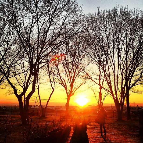
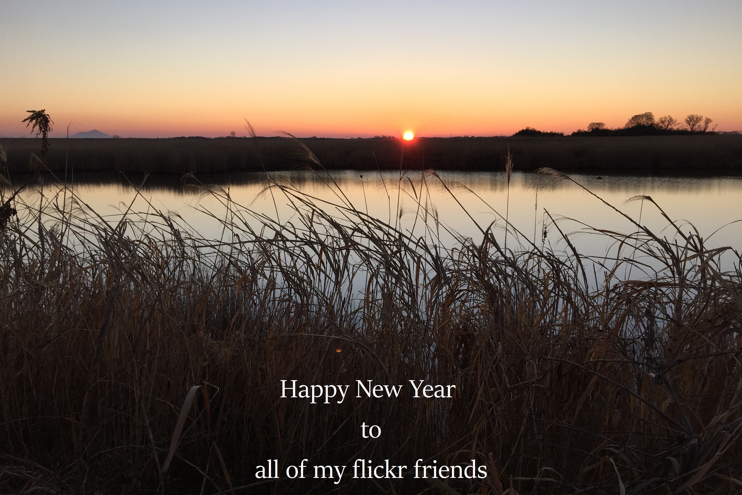
初日の入り。

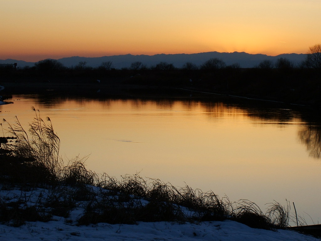
morning at watarase

DSC06800.jpg

栃木大平山ツーリング
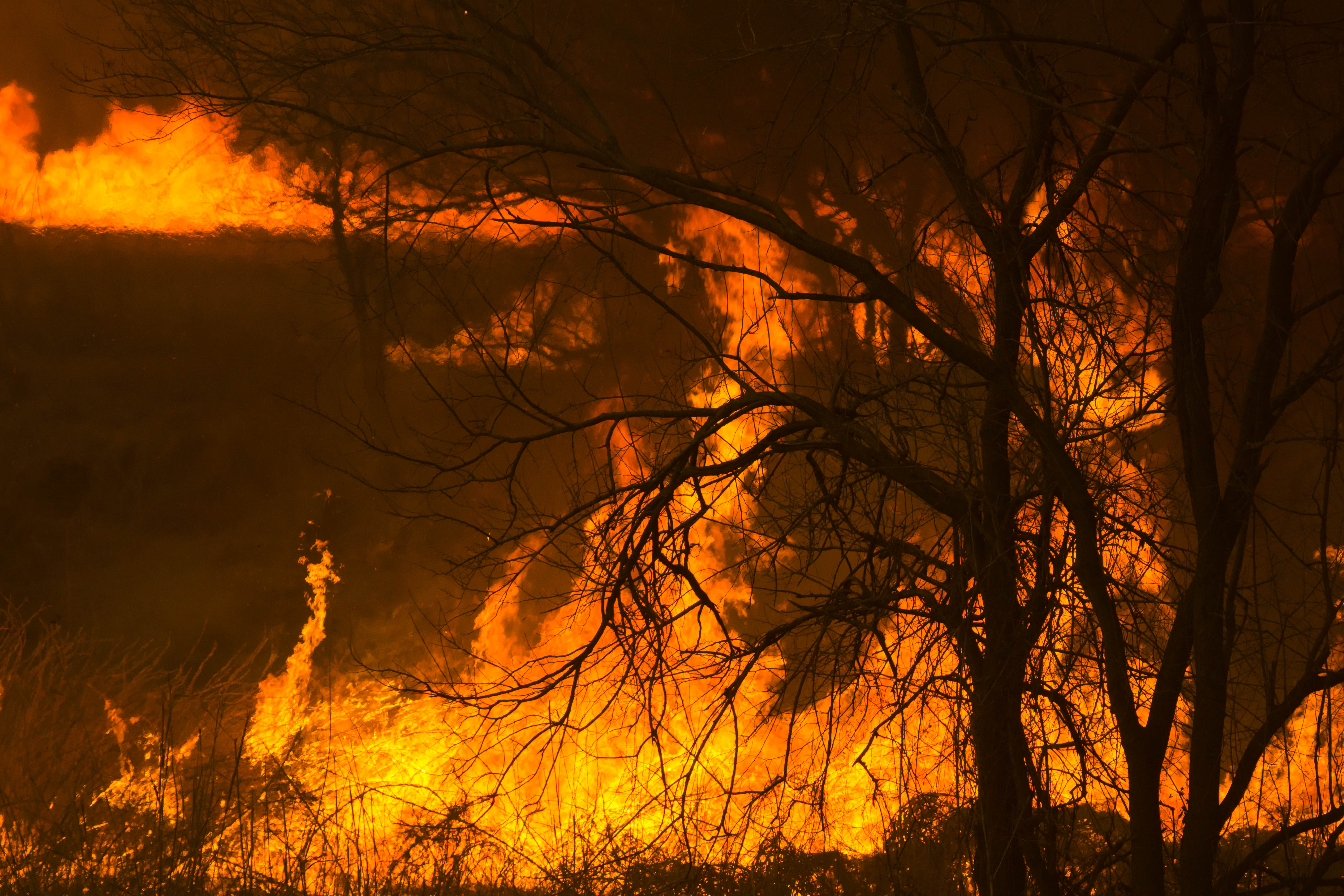
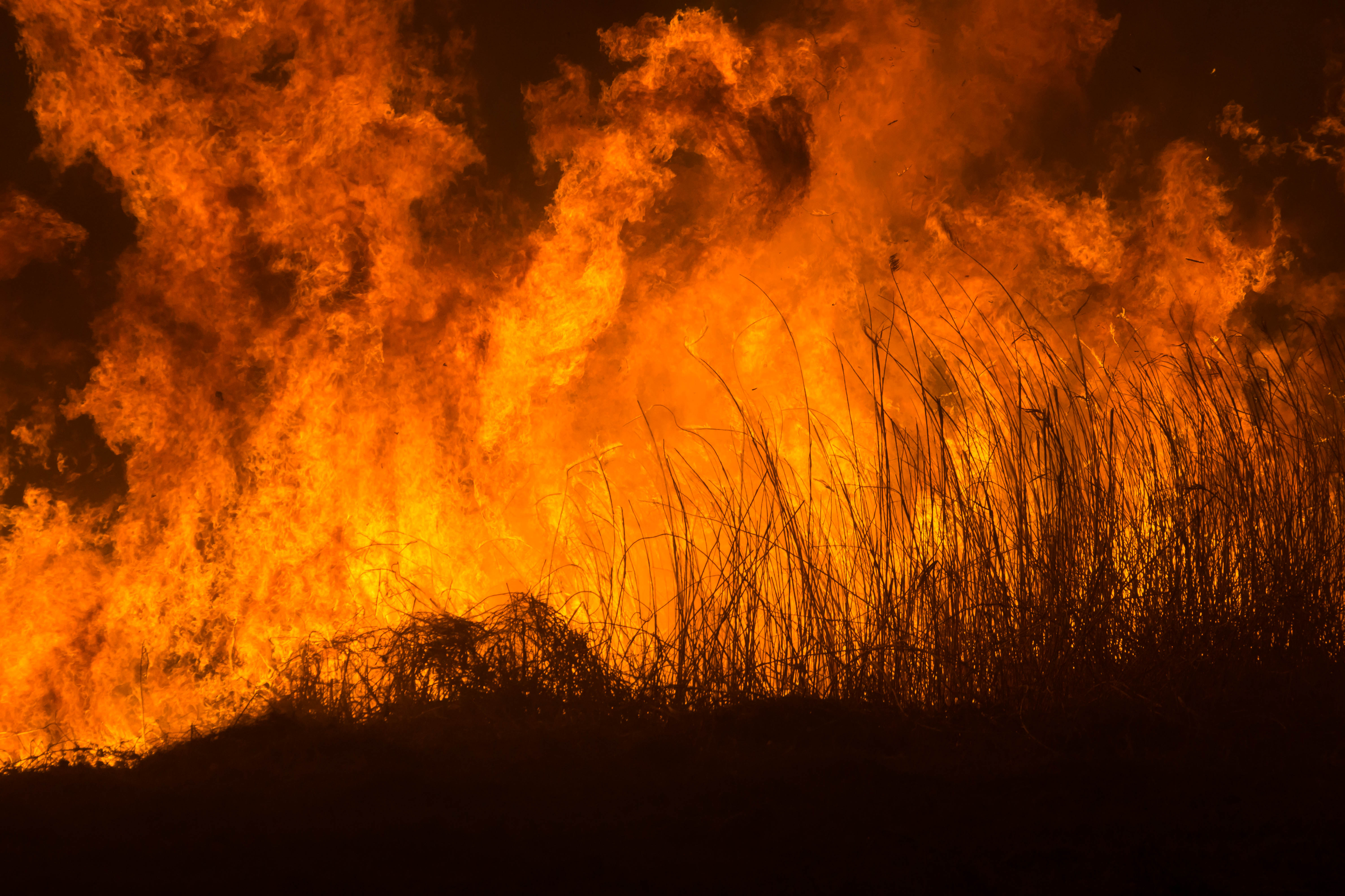
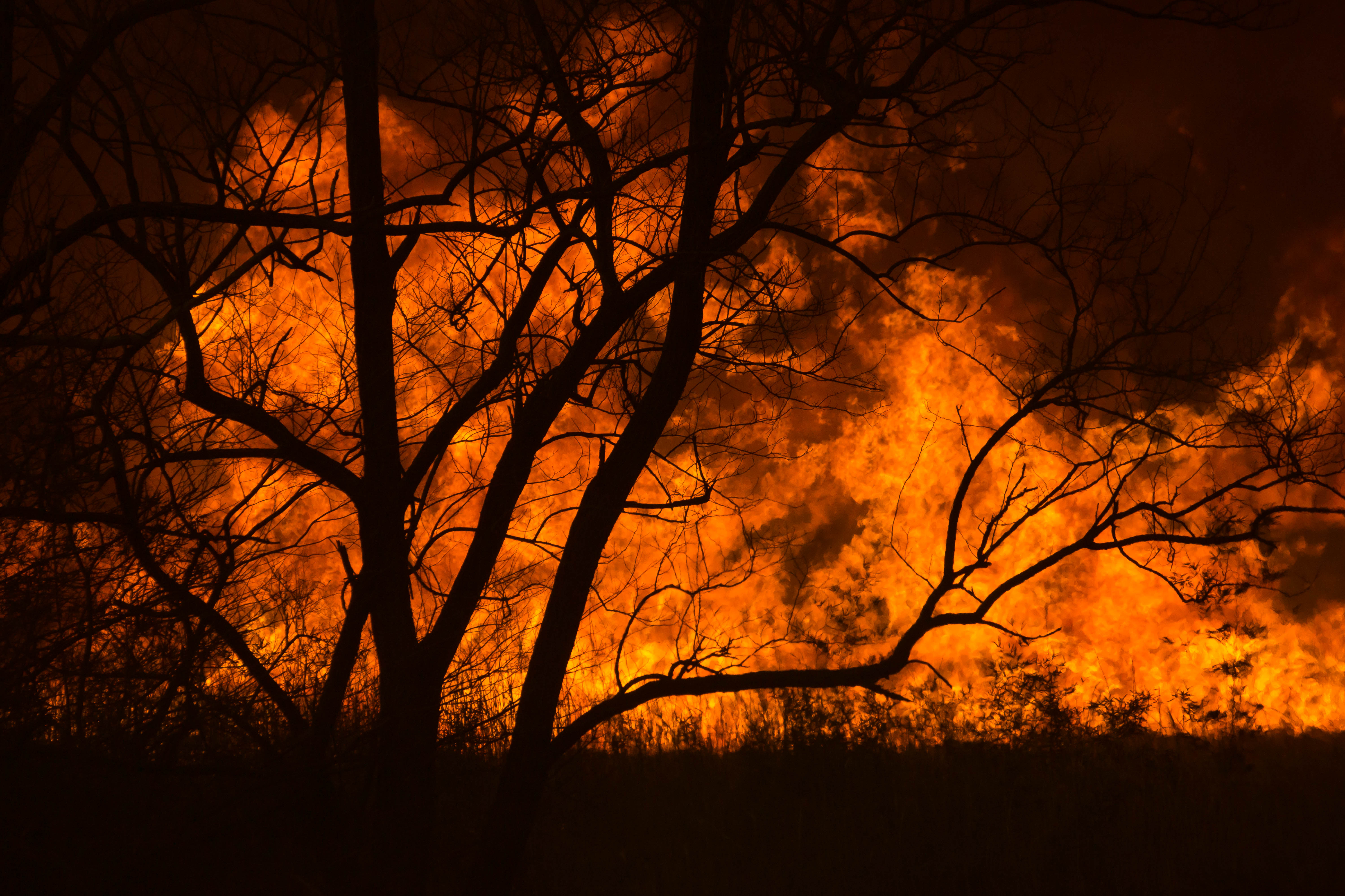
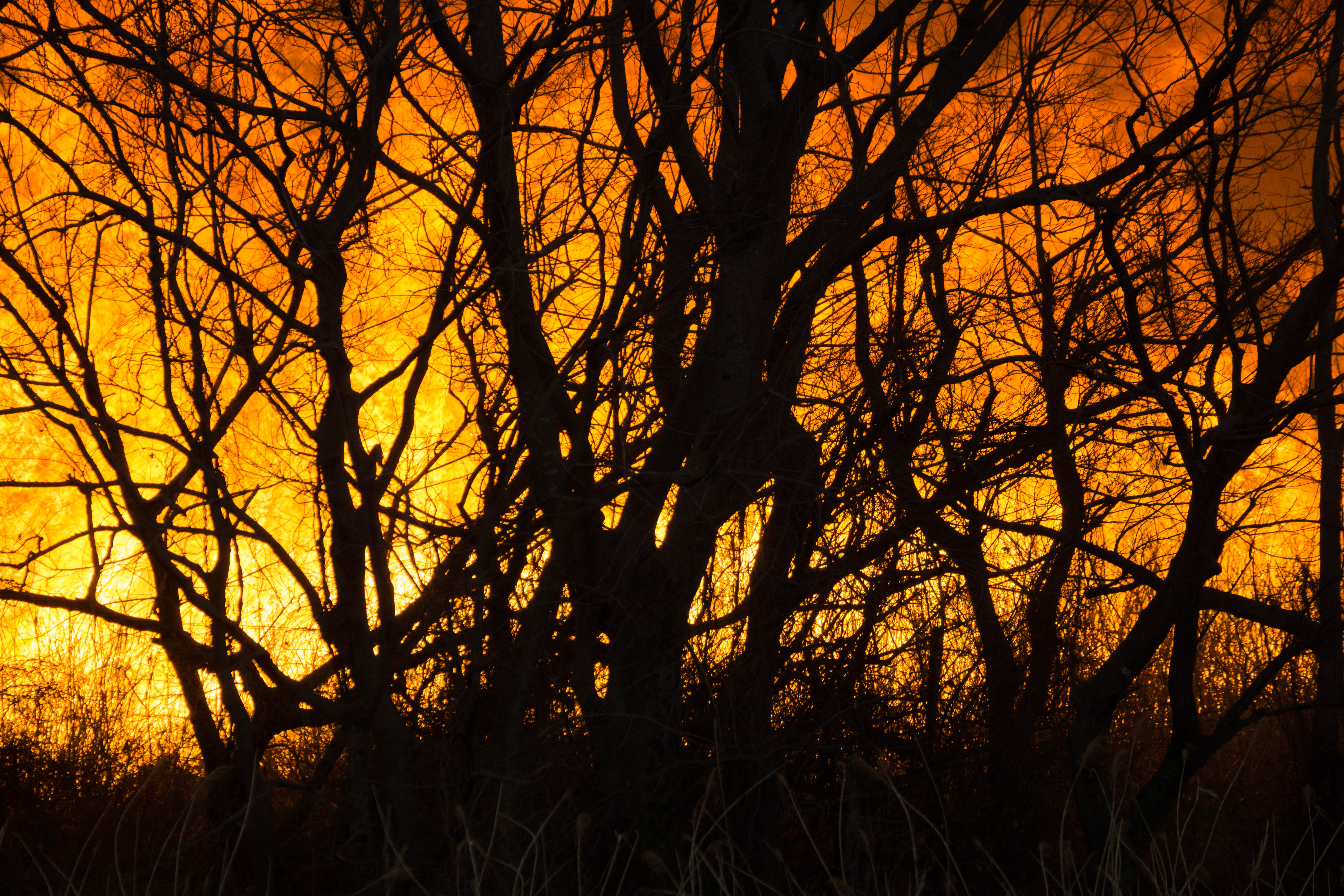
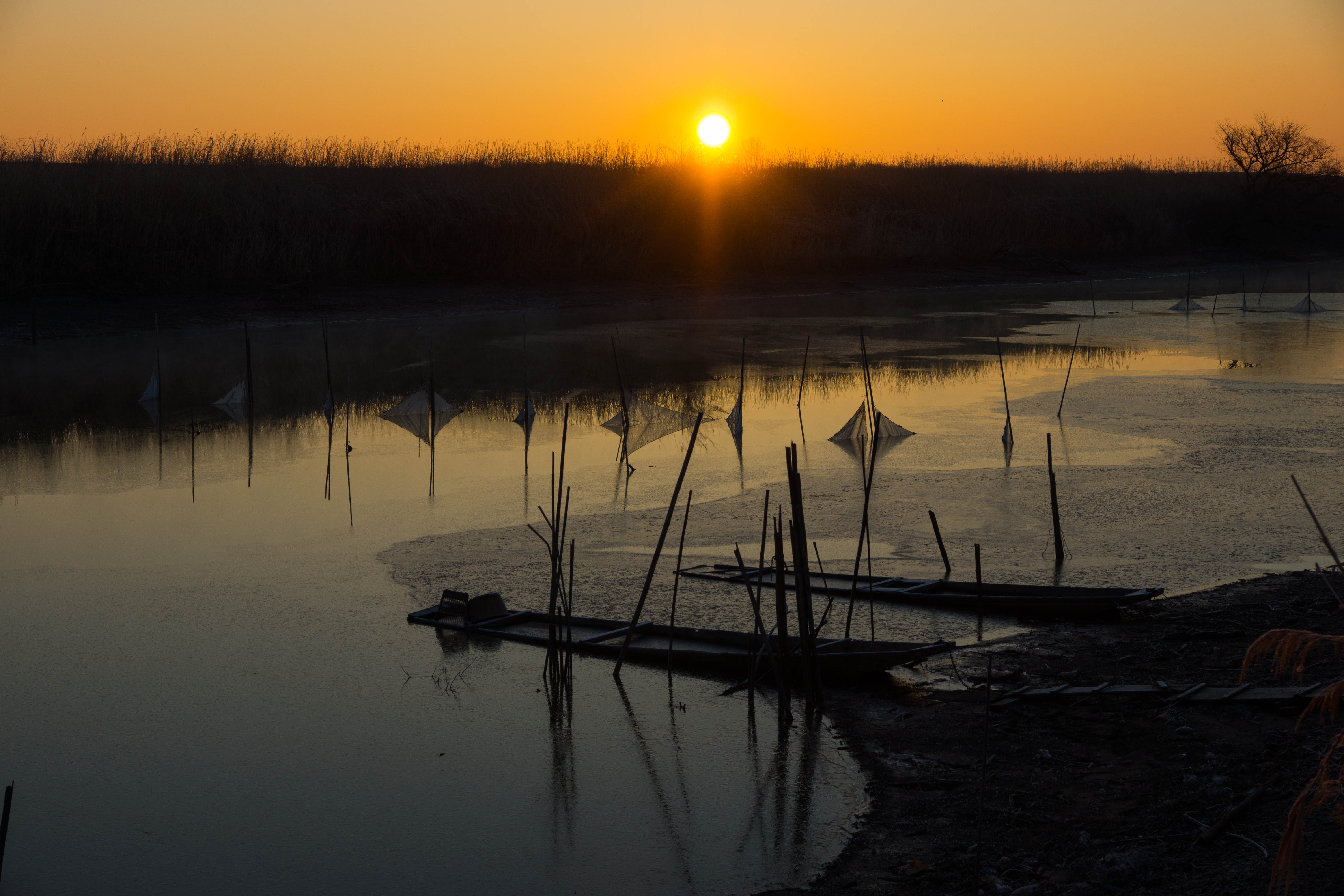
Reed burning in the Watarase anti-flood pond
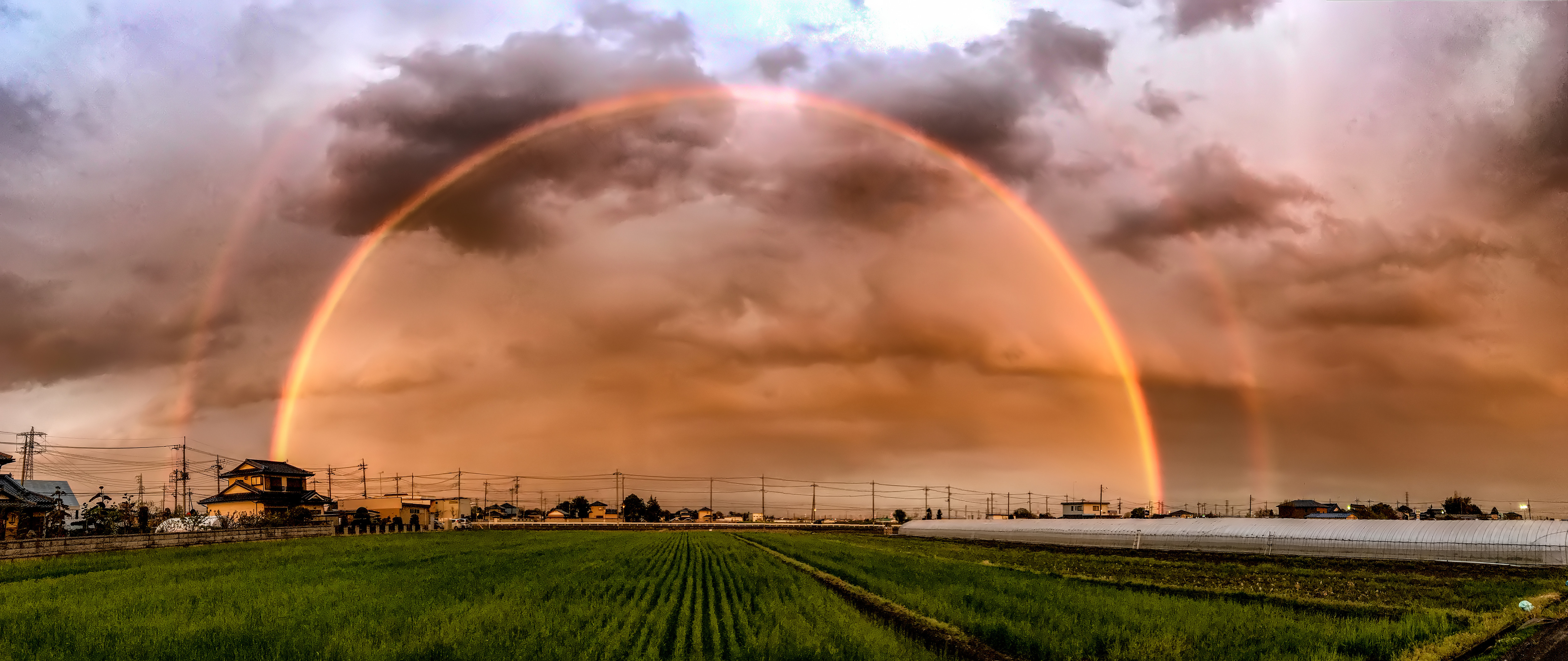
Catch The Rainbow

Reed burning in the Watarase anti-flood pond
Reed burning in the Watarase anti-flood pond
Reed burning in the Watarase anti-flood pond

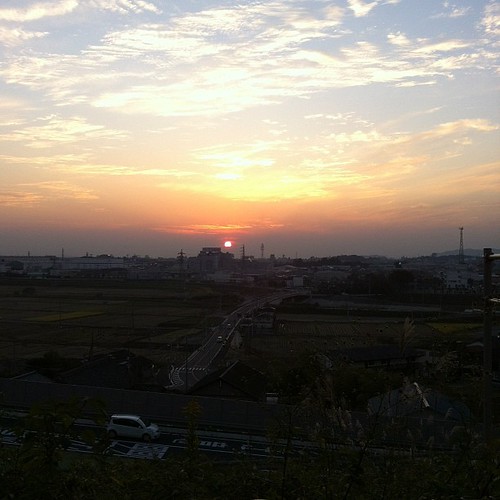
2013/3/28 sunset

watarase sunset
Reed burning in the Watarase anti-flood pond
my primal scene1

Reed burning in the Watarase anti-flood pond

DSC06726.jpg

Reed burning in the Watarase anti-flood pond
DSC06336.jpg

Reed burning in the Watarase anti-flood pond

sunrise through reeds
The first sunrise of the year 2016
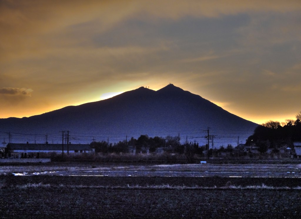
First sun rise of 2011 over Mt. Tsukuba
Mapa de -23 Mamada, Oyama-shi, Tochigi-ken -, Japón
Buscar otro lugar
Lugares cercanos
Otome, Oyama, Tochigi -, Japón
1 Chome-22-9 Higashijōnan, Oyama-shi, Tochigi-ken -, Japón
1 Chome-3-1 Miyamotochō, Oyama-shi, Tochigi-ken -, Japón
Oyama, Prefectura de Tochigi, Japón
Oyama, Tochigi Prefecture -, Japón
1 Chome-7 Shiroyamacho, Oyama, Tochigi Prefecture -, Japón
2-chōme-14-12 Higashijōnan, Oyama, Tochigi -, Japón
Nogi, Shimotsuga District, Tochigi Prefecture, Japón
-18 Marubayashi, Nogi-machi, Shimotsuga-gun, Tochigi-ken -, Japón
-4 Inabagō, Oyama, Tochigi -, Japón
Fujiokamachi Tatewaki, Tochigi, Japón
-4 Ōki, Yūki-shi, Ibaraki-ken -, Japón
2-chōme-28-65 Jōnaichō, Tochigi, -, Japón
Yūki, Prefectura de Ibaraki, Japón
Tochigi, Prefectura de Tochigi, Japón
渡良瀬遊水地, Japón, 〒- Tochigi-ken, Tochigi-shi, Fujiokamachi Uchino, 藤岡町藤岡
Fujiokamachi Uchino, Tochigi, -, Japón
Koganei Station, Koganei, Shimotsuke, Prefectura de Tochigi -, Japón
Iwademachi, Tochigi-shi, Tochigi-ken -, Japón
Funadama, Chikusei, Ibaraki -, Japón
Búsquedas recientes
- Horas de salida y puesta de sol de Red Dog Mine, AK, USA
- Horas de salida y puesta de sol de Am Bahnhof, Am bhf, Borken, Germany
- Horas de salida y puesta de sol de 4th St E, Sonoma, CA, EE. UU.
- Horas de salida y puesta de sol de Oakland Ave, Williamsport, PA, EE. UU.
- Horas de salida y puesta de sol de Via Roma, Pieranica CR, Italia
- Horas de salida y puesta de sol de Torre del reloj, Grad, Dubrovnik (Ragusa), Croacia
- Horas de salida y puesta de sol de Trelew, Chubut, Argentina
- Horas de salida y puesta de sol de Hartfords Bluff Cir, Mt Pleasant, SC, EE. UU.
- Horas de salida y puesta de sol de Kita Ward, Kumamoto, Japón
- Horas de salida y puesta de sol de Pingtan Island, Pingtan County, Fuzhou, China