Horas de salida y puesta de sol de 77 Grand Bay Rd, Grand Bay East, NL A0N 1K0, Canadá
Location: Canadá > Terranova y Labrador > Division No. 3 > Channel-Port aux Basques > Grand Bay East >
Zona horaria:
America/St_Johns
Hora local:
2025-06-21 22:32:04
Longitud:
-59.1712316
Latitud:
47.585886
Salida de sol de hoy:
05:29:21 AM
Puesta de sol de hoy:
09:28:21 PM
La duración del día hoy:
15h 59m 0s
Salida de sol de mañana:
05:29:39 AM
Puesta de sol de mañana:
09:28:28 PM
La duración del día mañana:
15h 58m 49s
Mostrar todas las fechas
| Fecha | Salida de sol | Puesta de sol | Duración del día |
|---|---|---|---|
| 01/01/2025 | 08:14:38 AM | 04:46:51 PM | 8h 32m 13s |
| 02/01/2025 | 08:14:33 AM | 04:47:52 PM | 8h 33m 19s |
| 03/01/2025 | 08:14:24 AM | 04:48:54 PM | 8h 34m 30s |
| 04/01/2025 | 08:14:14 AM | 04:49:59 PM | 8h 35m 45s |
| 05/01/2025 | 08:14:00 AM | 04:51:06 PM | 8h 37m 6s |
| 06/01/2025 | 08:13:43 AM | 04:52:14 PM | 8h 38m 31s |
| 07/01/2025 | 08:13:24 AM | 04:53:25 PM | 8h 40m 1s |
| 08/01/2025 | 08:13:01 AM | 04:54:37 PM | 8h 41m 36s |
| 09/01/2025 | 08:12:36 AM | 04:55:50 PM | 8h 43m 14s |
| 10/01/2025 | 08:12:09 AM | 04:57:06 PM | 8h 44m 57s |
| 11/01/2025 | 08:11:38 AM | 04:58:23 PM | 8h 46m 45s |
| 12/01/2025 | 08:11:05 AM | 04:59:41 PM | 8h 48m 36s |
| 13/01/2025 | 08:10:29 AM | 05:01:01 PM | 8h 50m 32s |
| 14/01/2025 | 08:09:51 AM | 05:02:22 PM | 8h 52m 31s |
| 15/01/2025 | 08:09:09 AM | 05:03:44 PM | 8h 54m 35s |
| 16/01/2025 | 08:08:26 AM | 05:05:08 PM | 8h 56m 42s |
| 17/01/2025 | 08:07:40 AM | 05:06:33 PM | 8h 58m 53s |
| 18/01/2025 | 08:06:51 AM | 05:07:58 PM | 9h 1m 7s |
| 19/01/2025 | 08:06:00 AM | 05:09:25 PM | 9h 3m 25s |
| 20/01/2025 | 08:05:06 AM | 05:10:52 PM | 9h 5m 46s |
| 21/01/2025 | 08:04:10 AM | 05:12:21 PM | 9h 8m 11s |
| 22/01/2025 | 08:03:12 AM | 05:13:50 PM | 9h 10m 38s |
| 23/01/2025 | 08:02:12 AM | 05:15:20 PM | 9h 13m 8s |
| 24/01/2025 | 08:01:09 AM | 05:16:51 PM | 9h 15m 42s |
| 25/01/2025 | 08:00:04 AM | 05:18:22 PM | 9h 18m 18s |
| 26/01/2025 | 07:58:57 AM | 05:19:53 PM | 9h 20m 56s |
| 27/01/2025 | 07:57:47 AM | 05:21:26 PM | 9h 23m 39s |
| 28/01/2025 | 07:56:36 AM | 05:22:58 PM | 9h 26m 22s |
| 29/01/2025 | 07:55:23 AM | 05:24:31 PM | 9h 29m 8s |
| 30/01/2025 | 07:54:07 AM | 05:26:05 PM | 9h 31m 58s |
| 31/01/2025 | 07:52:50 AM | 05:27:39 PM | 9h 34m 49s |
| 01/02/2025 | 07:51:31 AM | 05:29:12 PM | 9h 37m 41s |
| 02/02/2025 | 07:50:10 AM | 05:30:47 PM | 9h 40m 37s |
| 03/02/2025 | 07:48:47 AM | 05:32:21 PM | 9h 43m 34s |
| 04/02/2025 | 07:47:23 AM | 05:33:55 PM | 9h 46m 32s |
| 05/02/2025 | 07:45:57 AM | 05:35:30 PM | 9h 49m 33s |
| 06/02/2025 | 07:44:29 AM | 05:37:04 PM | 9h 52m 35s |
| 07/02/2025 | 07:43:00 AM | 05:38:39 PM | 9h 55m 39s |
| 08/02/2025 | 07:41:29 AM | 05:40:14 PM | 9h 58m 45s |
| 09/02/2025 | 07:39:56 AM | 05:41:48 PM | 10h 1m 52s |
| 10/02/2025 | 07:38:22 AM | 05:43:23 PM | 10h 5m 1s |
| 11/02/2025 | 07:36:47 AM | 05:44:57 PM | 10h 8m 10s |
| 12/02/2025 | 07:35:10 AM | 05:46:31 PM | 10h 11m 21s |
| 13/02/2025 | 07:33:32 AM | 05:48:06 PM | 10h 14m 34s |
| 14/02/2025 | 07:31:52 AM | 05:49:40 PM | 10h 17m 48s |
| 15/02/2025 | 07:30:12 AM | 05:51:13 PM | 10h 21m 1s |
| 16/02/2025 | 07:28:30 AM | 05:52:47 PM | 10h 24m 17s |
| 17/02/2025 | 07:26:46 AM | 05:54:20 PM | 10h 27m 34s |
| 18/02/2025 | 07:25:02 AM | 05:55:54 PM | 10h 30m 52s |
| 19/02/2025 | 07:23:17 AM | 05:57:27 PM | 10h 34m 10s |
| 20/02/2025 | 07:21:30 AM | 05:58:59 PM | 10h 37m 29s |
| 21/02/2025 | 07:19:43 AM | 06:00:32 PM | 10h 40m 49s |
| 22/02/2025 | 07:17:54 AM | 06:02:04 PM | 10h 44m 10s |
| 23/02/2025 | 07:16:05 AM | 06:03:36 PM | 10h 47m 31s |
| 24/02/2025 | 07:14:15 AM | 06:05:08 PM | 10h 50m 53s |
| 25/02/2025 | 07:12:24 AM | 06:06:39 PM | 10h 54m 15s |
| 26/02/2025 | 07:10:32 AM | 06:08:10 PM | 10h 57m 38s |
| 27/02/2025 | 07:08:39 AM | 06:09:41 PM | 11h 1m 2s |
| 28/02/2025 | 07:06:45 AM | 06:11:11 PM | 11h 4m 26s |
| 01/03/2025 | 07:04:51 AM | 06:12:42 PM | 11h 7m 51s |
| 02/03/2025 | 07:02:56 AM | 06:14:12 PM | 11h 11m 16s |
| 03/03/2025 | 07:01:01 AM | 06:15:41 PM | 11h 14m 40s |
| 04/03/2025 | 06:59:04 AM | 06:17:11 PM | 11h 18m 7s |
| 05/03/2025 | 06:57:08 AM | 06:18:40 PM | 11h 21m 32s |
| 06/03/2025 | 06:55:10 AM | 06:20:09 PM | 11h 24m 59s |
| 07/03/2025 | 06:53:12 AM | 06:21:38 PM | 11h 28m 26s |
| 08/03/2025 | 06:51:14 AM | 06:23:06 PM | 11h 31m 52s |
| 09/03/2025 | 07:49:20 AM | 07:24:31 PM | 11h 35m 11s |
| 10/03/2025 | 07:47:21 AM | 07:25:59 PM | 11h 38m 38s |
| 11/03/2025 | 07:45:21 AM | 07:27:26 PM | 11h 42m 5s |
| 12/03/2025 | 07:43:22 AM | 07:28:54 PM | 11h 45m 32s |
| 13/03/2025 | 07:41:21 AM | 07:30:21 PM | 11h 49m 0s |
| 14/03/2025 | 07:39:21 AM | 07:31:48 PM | 11h 52m 27s |
| 15/03/2025 | 07:37:20 AM | 07:33:15 PM | 11h 55m 55s |
| 16/03/2025 | 07:35:19 AM | 07:34:42 PM | 11h 59m 23s |
| 17/03/2025 | 07:33:18 AM | 07:36:08 PM | 12h 2m 50s |
| 18/03/2025 | 07:31:16 AM | 07:37:35 PM | 12h 6m 19s |
| 19/03/2025 | 07:29:15 AM | 07:39:01 PM | 12h 9m 46s |
| 20/03/2025 | 07:27:13 AM | 07:40:27 PM | 12h 13m 14s |
| 21/03/2025 | 07:25:12 AM | 07:41:53 PM | 12h 16m 41s |
| 22/03/2025 | 07:23:10 AM | 07:43:18 PM | 12h 20m 8s |
| 23/03/2025 | 07:21:08 AM | 07:44:44 PM | 12h 23m 36s |
| 24/03/2025 | 07:19:06 AM | 07:46:10 PM | 12h 27m 4s |
| 25/03/2025 | 07:17:05 AM | 07:47:35 PM | 12h 30m 30s |
| 26/03/2025 | 07:15:03 AM | 07:49:00 PM | 12h 33m 57s |
| 27/03/2025 | 07:13:02 AM | 07:50:25 PM | 12h 37m 23s |
| 28/03/2025 | 07:11:01 AM | 07:51:51 PM | 12h 40m 50s |
| 29/03/2025 | 07:08:59 AM | 07:53:16 PM | 12h 44m 17s |
| 30/03/2025 | 07:06:59 AM | 07:54:41 PM | 12h 47m 42s |
| 31/03/2025 | 07:04:58 AM | 07:56:06 PM | 12h 51m 8s |
| 01/04/2025 | 07:02:58 AM | 07:57:31 PM | 12h 54m 33s |
| 02/04/2025 | 07:00:58 AM | 07:58:56 PM | 12h 57m 58s |
| 03/04/2025 | 06:58:58 AM | 08:00:20 PM | 13h 1m 22s |
| 04/04/2025 | 06:56:58 AM | 08:01:45 PM | 13h 4m 47s |
| 05/04/2025 | 06:54:59 AM | 08:03:10 PM | 13h 8m 11s |
| 06/04/2025 | 06:53:01 AM | 08:04:35 PM | 13h 11m 34s |
| 07/04/2025 | 06:51:03 AM | 08:06:00 PM | 13h 14m 57s |
| 08/04/2025 | 06:49:05 AM | 08:07:24 PM | 13h 18m 19s |
| 09/04/2025 | 06:47:08 AM | 08:08:49 PM | 13h 21m 41s |
| 10/04/2025 | 06:45:12 AM | 08:10:14 PM | 13h 25m 2s |
| 11/04/2025 | 06:43:16 AM | 08:11:39 PM | 13h 28m 23s |
| 12/04/2025 | 06:41:21 AM | 08:13:03 PM | 13h 31m 42s |
| 13/04/2025 | 06:39:26 AM | 08:14:28 PM | 13h 35m 2s |
| 14/04/2025 | 06:37:32 AM | 08:15:53 PM | 13h 38m 21s |
| 15/04/2025 | 06:35:39 AM | 08:17:17 PM | 13h 41m 38s |
| 16/04/2025 | 06:33:47 AM | 08:18:42 PM | 13h 44m 55s |
| 17/04/2025 | 06:31:55 AM | 08:20:07 PM | 13h 48m 12s |
| 18/04/2025 | 06:30:04 AM | 08:21:31 PM | 13h 51m 27s |
| 19/04/2025 | 06:28:15 AM | 08:22:56 PM | 13h 54m 41s |
| 20/04/2025 | 06:26:26 AM | 08:24:20 PM | 13h 57m 54s |
| 21/04/2025 | 06:24:38 AM | 08:25:45 PM | 14h 1m 7s |
| 22/04/2025 | 06:22:51 AM | 08:27:09 PM | 14h 4m 18s |
| 23/04/2025 | 06:21:05 AM | 08:28:33 PM | 14h 7m 28s |
| 24/04/2025 | 06:19:20 AM | 08:29:58 PM | 14h 10m 38s |
| 25/04/2025 | 06:17:36 AM | 08:31:22 PM | 14h 13m 46s |
| 26/04/2025 | 06:15:53 AM | 08:32:46 PM | 14h 16m 53s |
| 27/04/2025 | 06:14:11 AM | 08:34:09 PM | 14h 19m 58s |
| 28/04/2025 | 06:12:31 AM | 08:35:33 PM | 14h 23m 2s |
| 29/04/2025 | 06:10:52 AM | 08:36:56 PM | 14h 26m 4s |
| 30/04/2025 | 06:09:14 AM | 08:38:19 PM | 14h 29m 5s |
| 01/05/2025 | 06:07:38 AM | 08:39:42 PM | 14h 32m 4s |
| 02/05/2025 | 06:06:03 AM | 08:41:05 PM | 14h 35m 2s |
| 03/05/2025 | 06:04:29 AM | 08:42:27 PM | 14h 37m 58s |
| 04/05/2025 | 06:02:56 AM | 08:43:49 PM | 14h 40m 53s |
| 05/05/2025 | 06:01:26 AM | 08:45:11 PM | 14h 43m 45s |
| 06/05/2025 | 05:59:56 AM | 08:46:32 PM | 14h 46m 36s |
| 07/05/2025 | 05:58:29 AM | 08:47:53 PM | 14h 49m 24s |
| 08/05/2025 | 05:57:03 AM | 08:49:13 PM | 14h 52m 10s |
| 09/05/2025 | 05:55:38 AM | 08:50:33 PM | 14h 54m 55s |
| 10/05/2025 | 05:54:15 AM | 08:51:52 PM | 14h 57m 37s |
| 11/05/2025 | 05:52:54 AM | 08:53:11 PM | 15h 0m 17s |
| 12/05/2025 | 05:51:35 AM | 08:54:29 PM | 15h 2m 54s |
| 13/05/2025 | 05:50:18 AM | 08:55:47 PM | 15h 5m 29s |
| 14/05/2025 | 05:49:02 AM | 08:57:03 PM | 15h 8m 1s |
| 15/05/2025 | 05:47:48 AM | 08:58:19 PM | 15h 10m 31s |
| 16/05/2025 | 05:46:36 AM | 08:59:34 PM | 15h 12m 58s |
| 17/05/2025 | 05:45:27 AM | 09:00:49 PM | 15h 15m 22s |
| 18/05/2025 | 05:44:19 AM | 09:02:02 PM | 15h 17m 43s |
| 19/05/2025 | 05:43:13 AM | 09:03:14 PM | 15h 20m 1s |
| 20/05/2025 | 05:42:09 AM | 09:04:26 PM | 15h 22m 17s |
| 21/05/2025 | 05:41:08 AM | 09:05:36 PM | 15h 24m 28s |
| 22/05/2025 | 05:40:08 AM | 09:06:45 PM | 15h 26m 37s |
| 23/05/2025 | 05:39:11 AM | 09:07:53 PM | 15h 28m 42s |
| 24/05/2025 | 05:38:16 AM | 09:09:00 PM | 15h 30m 44s |
| 25/05/2025 | 05:37:23 AM | 09:10:06 PM | 15h 32m 43s |
| 26/05/2025 | 05:36:33 AM | 09:11:10 PM | 15h 34m 37s |
| 27/05/2025 | 05:35:45 AM | 09:12:13 PM | 15h 36m 28s |
| 28/05/2025 | 05:34:59 AM | 09:13:14 PM | 15h 38m 15s |
| 29/05/2025 | 05:34:15 AM | 09:14:14 PM | 15h 39m 59s |
| 30/05/2025 | 05:33:34 AM | 09:15:13 PM | 15h 41m 39s |
| 31/05/2025 | 05:32:56 AM | 09:16:09 PM | 15h 43m 13s |
| 01/06/2025 | 05:32:20 AM | 09:17:04 PM | 15h 44m 44s |
| 02/06/2025 | 05:31:46 AM | 09:17:58 PM | 15h 46m 12s |
| 03/06/2025 | 05:31:15 AM | 09:18:49 PM | 15h 47m 34s |
| 04/06/2025 | 05:30:46 AM | 09:19:39 PM | 15h 48m 53s |
| 05/06/2025 | 05:30:20 AM | 09:20:27 PM | 15h 50m 7s |
| 06/06/2025 | 05:29:57 AM | 09:21:13 PM | 15h 51m 16s |
| 07/06/2025 | 05:29:36 AM | 09:21:56 PM | 15h 52m 20s |
| 08/06/2025 | 05:29:17 AM | 09:22:38 PM | 15h 53m 21s |
| 09/06/2025 | 05:29:01 AM | 09:23:18 PM | 15h 54m 17s |
| 10/06/2025 | 05:28:48 AM | 09:23:56 PM | 15h 55m 8s |
| 11/06/2025 | 05:28:37 AM | 09:24:31 PM | 15h 55m 54s |
| 12/06/2025 | 05:28:29 AM | 09:25:04 PM | 15h 56m 35s |
| 13/06/2025 | 05:28:24 AM | 09:25:35 PM | 15h 57m 11s |
| 14/06/2025 | 05:28:21 AM | 09:26:03 PM | 15h 57m 42s |
| 15/06/2025 | 05:28:21 AM | 09:26:30 PM | 15h 58m 9s |
| 16/06/2025 | 05:28:23 AM | 09:26:53 PM | 15h 58m 30s |
| 17/06/2025 | 05:28:27 AM | 09:27:15 PM | 15h 58m 48s |
| 18/06/2025 | 05:28:35 AM | 09:27:34 PM | 15h 58m 59s |
| 19/06/2025 | 05:28:44 AM | 09:27:50 PM | 15h 59m 6s |
| 20/06/2025 | 05:28:57 AM | 09:28:04 PM | 15h 59m 7s |
| 21/06/2025 | 05:29:11 AM | 09:28:15 PM | 15h 59m 4s |
| 22/06/2025 | 05:29:29 AM | 09:28:24 PM | 15h 58m 55s |
| 23/06/2025 | 05:29:48 AM | 09:28:30 PM | 15h 58m 42s |
| 24/06/2025 | 05:30:10 AM | 09:28:34 PM | 15h 58m 24s |
| 25/06/2025 | 05:30:34 AM | 09:28:35 PM | 15h 58m 1s |
| 26/06/2025 | 05:31:01 AM | 09:28:33 PM | 15h 57m 32s |
| 27/06/2025 | 05:31:30 AM | 09:28:29 PM | 15h 56m 59s |
| 28/06/2025 | 05:32:01 AM | 09:28:22 PM | 15h 56m 21s |
| 29/06/2025 | 05:32:34 AM | 09:28:13 PM | 15h 55m 39s |
| 30/06/2025 | 05:33:09 AM | 09:28:01 PM | 15h 54m 52s |
| 01/07/2025 | 05:33:47 AM | 09:27:46 PM | 15h 53m 59s |
| 02/07/2025 | 05:34:26 AM | 09:27:29 PM | 15h 53m 3s |
| 03/07/2025 | 05:35:08 AM | 09:27:09 PM | 15h 52m 1s |
| 04/07/2025 | 05:35:51 AM | 09:26:46 PM | 15h 50m 55s |
| 05/07/2025 | 05:36:37 AM | 09:26:21 PM | 15h 49m 44s |
| 06/07/2025 | 05:37:24 AM | 09:25:54 PM | 15h 48m 30s |
| 07/07/2025 | 05:38:13 AM | 09:25:23 PM | 15h 47m 10s |
| 08/07/2025 | 05:39:04 AM | 09:24:51 PM | 15h 45m 47s |
| 09/07/2025 | 05:39:56 AM | 09:24:15 PM | 15h 44m 19s |
| 10/07/2025 | 05:40:50 AM | 09:23:37 PM | 15h 42m 47s |
| 11/07/2025 | 05:41:46 AM | 09:22:57 PM | 15h 41m 11s |
| 12/07/2025 | 05:42:43 AM | 09:22:14 PM | 15h 39m 31s |
| 13/07/2025 | 05:43:42 AM | 09:21:29 PM | 15h 37m 47s |
| 14/07/2025 | 05:44:42 AM | 09:20:42 PM | 15h 36m 0s |
| 15/07/2025 | 05:45:43 AM | 09:19:52 PM | 15h 34m 9s |
| 16/07/2025 | 05:46:46 AM | 09:18:59 PM | 15h 32m 13s |
| 17/07/2025 | 05:47:50 AM | 09:18:05 PM | 15h 30m 15s |
| 18/07/2025 | 05:48:55 AM | 09:17:08 PM | 15h 28m 13s |
| 19/07/2025 | 05:50:01 AM | 09:16:09 PM | 15h 26m 8s |
| 20/07/2025 | 05:51:08 AM | 09:15:08 PM | 15h 24m 0s |
| 21/07/2025 | 05:52:16 AM | 09:14:04 PM | 15h 21m 48s |
| 22/07/2025 | 05:53:26 AM | 09:12:59 PM | 15h 19m 33s |
| 23/07/2025 | 05:54:36 AM | 09:11:51 PM | 15h 17m 15s |
| 24/07/2025 | 05:55:47 AM | 09:10:42 PM | 15h 14m 55s |
| 25/07/2025 | 05:56:59 AM | 09:09:30 PM | 15h 12m 31s |
| 26/07/2025 | 05:58:11 AM | 09:08:16 PM | 15h 10m 5s |
| 27/07/2025 | 05:59:24 AM | 09:07:01 PM | 15h 7m 37s |
| 28/07/2025 | 06:00:38 AM | 09:05:44 PM | 15h 5m 6s |
| 29/07/2025 | 06:01:53 AM | 09:04:24 PM | 15h 2m 31s |
| 30/07/2025 | 06:03:08 AM | 09:03:03 PM | 14h 59m 55s |
| 31/07/2025 | 06:04:24 AM | 09:01:41 PM | 14h 57m 17s |
| 01/08/2025 | 06:05:40 AM | 09:00:16 PM | 14h 54m 36s |
| 02/08/2025 | 06:06:57 AM | 08:58:50 PM | 14h 51m 53s |
| 03/08/2025 | 06:08:14 AM | 08:57:22 PM | 14h 49m 8s |
| 04/08/2025 | 06:09:31 AM | 08:55:53 PM | 14h 46m 22s |
| 05/08/2025 | 06:10:49 AM | 08:54:22 PM | 14h 43m 33s |
| 06/08/2025 | 06:12:07 AM | 08:52:49 PM | 14h 40m 42s |
| 07/08/2025 | 06:13:26 AM | 08:51:15 PM | 14h 37m 49s |
| 08/08/2025 | 06:14:45 AM | 08:49:40 PM | 14h 34m 55s |
| 09/08/2025 | 06:16:04 AM | 08:48:03 PM | 14h 31m 59s |
| 10/08/2025 | 06:17:23 AM | 08:46:25 PM | 14h 29m 2s |
| 11/08/2025 | 06:18:42 AM | 08:44:45 PM | 14h 26m 3s |
| 12/08/2025 | 06:20:02 AM | 08:43:05 PM | 14h 23m 3s |
| 13/08/2025 | 06:21:22 AM | 08:41:23 PM | 14h 20m 1s |
| 14/08/2025 | 06:22:41 AM | 08:39:39 PM | 14h 16m 58s |
| 15/08/2025 | 06:24:01 AM | 08:37:55 PM | 14h 13m 54s |
| 16/08/2025 | 06:25:21 AM | 08:36:10 PM | 14h 10m 49s |
| 17/08/2025 | 06:26:41 AM | 08:34:23 PM | 14h 7m 42s |
| 18/08/2025 | 06:28:01 AM | 08:32:35 PM | 14h 4m 34s |
| 19/08/2025 | 06:29:22 AM | 08:30:47 PM | 14h 1m 25s |
| 20/08/2025 | 06:30:42 AM | 08:28:57 PM | 13h 58m 15s |
| 21/08/2025 | 06:32:02 AM | 08:27:07 PM | 13h 55m 5s |
| 22/08/2025 | 06:33:22 AM | 08:25:15 PM | 13h 51m 53s |
| 23/08/2025 | 06:34:43 AM | 08:23:23 PM | 13h 48m 40s |
| 24/08/2025 | 06:36:03 AM | 08:21:30 PM | 13h 45m 27s |
| 25/08/2025 | 06:37:23 AM | 08:19:36 PM | 13h 42m 13s |
| 26/08/2025 | 06:38:43 AM | 08:17:41 PM | 13h 38m 58s |
| 27/08/2025 | 06:40:04 AM | 08:15:46 PM | 13h 35m 42s |
| 28/08/2025 | 06:41:24 AM | 08:13:49 PM | 13h 32m 25s |
| 29/08/2025 | 06:42:44 AM | 08:11:53 PM | 13h 29m 9s |
| 30/08/2025 | 06:44:04 AM | 08:09:55 PM | 13h 25m 51s |
| 31/08/2025 | 06:45:24 AM | 08:07:57 PM | 13h 22m 33s |
| 01/09/2025 | 06:46:44 AM | 08:05:58 PM | 13h 19m 14s |
| 02/09/2025 | 06:48:04 AM | 08:03:59 PM | 13h 15m 55s |
| 03/09/2025 | 06:49:24 AM | 08:02:00 PM | 13h 12m 36s |
| 04/09/2025 | 06:50:44 AM | 08:00:00 PM | 13h 9m 16s |
| 05/09/2025 | 06:52:05 AM | 07:57:59 PM | 13h 5m 54s |
| 06/09/2025 | 06:53:25 AM | 07:55:58 PM | 13h 2m 33s |
| 07/09/2025 | 06:54:45 AM | 07:53:57 PM | 12h 59m 12s |
| 08/09/2025 | 06:56:05 AM | 07:51:55 PM | 12h 55m 50s |
| 09/09/2025 | 06:57:25 AM | 07:49:53 PM | 12h 52m 28s |
| 10/09/2025 | 06:58:45 AM | 07:47:51 PM | 12h 49m 6s |
| 11/09/2025 | 07:00:05 AM | 07:45:48 PM | 12h 45m 43s |
| 12/09/2025 | 07:01:25 AM | 07:43:45 PM | 12h 42m 20s |
| 13/09/2025 | 07:02:46 AM | 07:41:42 PM | 12h 38m 56s |
| 14/09/2025 | 07:04:06 AM | 07:39:39 PM | 12h 35m 33s |
| 15/09/2025 | 07:05:26 AM | 07:37:36 PM | 12h 32m 10s |
| 16/09/2025 | 07:06:47 AM | 07:35:33 PM | 12h 28m 46s |
| 17/09/2025 | 07:08:07 AM | 07:33:29 PM | 12h 25m 22s |
| 18/09/2025 | 07:09:28 AM | 07:31:26 PM | 12h 21m 58s |
| 19/09/2025 | 07:10:49 AM | 07:29:22 PM | 12h 18m 33s |
| 20/09/2025 | 07:12:09 AM | 07:27:19 PM | 12h 15m 10s |
| 21/09/2025 | 07:13:30 AM | 07:25:16 PM | 12h 11m 46s |
| 22/09/2025 | 07:14:52 AM | 07:23:12 PM | 12h 8m 20s |
| 23/09/2025 | 07:16:13 AM | 07:21:09 PM | 12h 4m 56s |
| 24/09/2025 | 07:17:34 AM | 07:19:06 PM | 12h 1m 32s |
| 25/09/2025 | 07:18:56 AM | 07:17:03 PM | 11h 58m 7s |
| 26/09/2025 | 07:20:18 AM | 07:15:00 PM | 11h 54m 42s |
| 27/09/2025 | 07:21:40 AM | 07:12:58 PM | 11h 51m 18s |
| 28/09/2025 | 07:23:02 AM | 07:10:56 PM | 11h 47m 54s |
| 29/09/2025 | 07:24:24 AM | 07:08:54 PM | 11h 44m 30s |
| 30/09/2025 | 07:25:47 AM | 07:06:52 PM | 11h 41m 5s |
| 01/10/2025 | 07:27:10 AM | 07:04:51 PM | 11h 37m 41s |
| 02/10/2025 | 07:28:33 AM | 07:02:50 PM | 11h 34m 17s |
| 03/10/2025 | 07:29:56 AM | 07:00:50 PM | 11h 30m 54s |
| 04/10/2025 | 07:31:20 AM | 06:58:50 PM | 11h 27m 30s |
| 05/10/2025 | 07:32:44 AM | 06:56:50 PM | 11h 24m 6s |
| 06/10/2025 | 07:34:08 AM | 06:54:51 PM | 11h 20m 43s |
| 07/10/2025 | 07:35:32 AM | 06:52:53 PM | 11h 17m 21s |
| 08/10/2025 | 07:36:57 AM | 06:50:55 PM | 11h 13m 58s |
| 09/10/2025 | 07:38:22 AM | 06:48:58 PM | 11h 10m 36s |
| 10/10/2025 | 07:39:47 AM | 06:47:01 PM | 11h 7m 14s |
| 11/10/2025 | 07:41:13 AM | 06:45:05 PM | 11h 3m 52s |
| 12/10/2025 | 07:42:39 AM | 06:43:10 PM | 11h 0m 31s |
| 13/10/2025 | 07:44:05 AM | 06:41:15 PM | 10h 57m 10s |
| 14/10/2025 | 07:45:32 AM | 06:39:22 PM | 10h 53m 50s |
| 15/10/2025 | 07:46:58 AM | 06:37:29 PM | 10h 50m 31s |
| 16/10/2025 | 07:48:26 AM | 06:35:37 PM | 10h 47m 11s |
| 17/10/2025 | 07:49:53 AM | 06:33:46 PM | 10h 43m 53s |
| 18/10/2025 | 07:51:21 AM | 06:31:56 PM | 10h 40m 35s |
| 19/10/2025 | 07:52:49 AM | 06:30:07 PM | 10h 37m 18s |
| 20/10/2025 | 07:54:17 AM | 06:28:19 PM | 10h 34m 2s |
| 21/10/2025 | 07:55:45 AM | 06:26:31 PM | 10h 30m 46s |
| 22/10/2025 | 07:57:14 AM | 06:24:45 PM | 10h 27m 31s |
| 23/10/2025 | 07:58:43 AM | 06:23:01 PM | 10h 24m 18s |
| 24/10/2025 | 08:00:13 AM | 06:21:17 PM | 10h 21m 4s |
| 25/10/2025 | 08:01:42 AM | 06:19:34 PM | 10h 17m 52s |
| 26/10/2025 | 08:03:12 AM | 06:17:53 PM | 10h 14m 41s |
| 27/10/2025 | 08:04:42 AM | 06:16:13 PM | 10h 11m 31s |
| 28/10/2025 | 08:06:12 AM | 06:14:35 PM | 10h 8m 23s |
| 29/10/2025 | 08:07:43 AM | 06:12:57 PM | 10h 5m 14s |
| 30/10/2025 | 08:09:13 AM | 06:11:22 PM | 10h 2m 9s |
| 31/10/2025 | 08:10:44 AM | 06:09:47 PM | 9h 59m 3s |
| 01/11/2025 | 08:12:14 AM | 06:08:14 PM | 9h 56m 0s |
| 02/11/2025 | 07:13:49 AM | 05:06:39 PM | 9h 52m 50s |
| 03/11/2025 | 07:15:20 AM | 05:05:10 PM | 9h 49m 50s |
| 04/11/2025 | 07:16:51 AM | 05:03:42 PM | 9h 46m 51s |
| 05/11/2025 | 07:18:21 AM | 05:02:15 PM | 9h 43m 54s |
| 06/11/2025 | 07:19:52 AM | 05:00:51 PM | 9h 40m 59s |
| 07/11/2025 | 07:21:23 AM | 04:59:28 PM | 9h 38m 5s |
| 08/11/2025 | 07:22:53 AM | 04:58:07 PM | 9h 35m 14s |
| 09/11/2025 | 07:24:24 AM | 04:56:48 PM | 9h 32m 24s |
| 10/11/2025 | 07:25:54 AM | 04:55:30 PM | 9h 29m 36s |
| 11/11/2025 | 07:27:24 AM | 04:54:15 PM | 9h 26m 51s |
| 12/11/2025 | 07:28:53 AM | 04:53:02 PM | 9h 24m 9s |
| 13/11/2025 | 07:30:22 AM | 04:51:51 PM | 9h 21m 29s |
| 14/11/2025 | 07:31:51 AM | 04:50:42 PM | 9h 18m 51s |
| 15/11/2025 | 07:33:20 AM | 04:49:35 PM | 9h 16m 15s |
| 16/11/2025 | 07:34:47 AM | 04:48:30 PM | 9h 13m 43s |
| 17/11/2025 | 07:36:15 AM | 04:47:27 PM | 9h 11m 12s |
| 18/11/2025 | 07:37:41 AM | 04:46:27 PM | 9h 8m 46s |
| 19/11/2025 | 07:39:07 AM | 04:45:29 PM | 9h 6m 22s |
| 20/11/2025 | 07:40:33 AM | 04:44:33 PM | 9h 4m 0s |
| 21/11/2025 | 07:41:57 AM | 04:43:40 PM | 9h 1m 43s |
| 22/11/2025 | 07:43:21 AM | 04:42:49 PM | 8h 59m 28s |
| 23/11/2025 | 07:44:43 AM | 04:42:01 PM | 8h 57m 18s |
| 24/11/2025 | 07:46:05 AM | 04:41:16 PM | 8h 55m 11s |
| 25/11/2025 | 07:47:25 AM | 04:40:32 PM | 8h 53m 7s |
| 26/11/2025 | 07:48:45 AM | 04:39:52 PM | 8h 51m 7s |
| 27/11/2025 | 07:50:03 AM | 04:39:14 PM | 8h 49m 11s |
| 28/11/2025 | 07:51:20 AM | 04:38:39 PM | 8h 47m 19s |
| 29/11/2025 | 07:52:35 AM | 04:38:06 PM | 8h 45m 31s |
| 30/11/2025 | 07:53:50 AM | 04:37:36 PM | 8h 43m 46s |
| 01/12/2025 | 07:55:02 AM | 04:37:09 PM | 8h 42m 7s |
| 02/12/2025 | 07:56:13 AM | 04:36:45 PM | 8h 40m 32s |
| 03/12/2025 | 07:57:23 AM | 04:36:24 PM | 8h 39m 1s |
| 04/12/2025 | 07:58:31 AM | 04:36:05 PM | 8h 37m 34s |
| 05/12/2025 | 07:59:37 AM | 04:35:49 PM | 8h 36m 12s |
| 06/12/2025 | 08:00:41 AM | 04:35:37 PM | 8h 34m 56s |
| 07/12/2025 | 08:01:43 AM | 04:35:27 PM | 8h 33m 44s |
| 08/12/2025 | 08:02:43 AM | 04:35:20 PM | 8h 32m 37s |
| 09/12/2025 | 08:03:42 AM | 04:35:16 PM | 8h 31m 34s |
| 10/12/2025 | 08:04:38 AM | 04:35:14 PM | 8h 30m 36s |
| 11/12/2025 | 08:05:32 AM | 04:35:16 PM | 8h 29m 44s |
| 12/12/2025 | 08:06:24 AM | 04:35:21 PM | 8h 28m 57s |
| 13/12/2025 | 08:07:13 AM | 04:35:28 PM | 8h 28m 15s |
| 14/12/2025 | 08:08:00 AM | 04:35:39 PM | 8h 27m 39s |
| 15/12/2025 | 08:08:45 AM | 04:35:52 PM | 8h 27m 7s |
| 16/12/2025 | 08:09:27 AM | 04:36:08 PM | 8h 26m 41s |
| 17/12/2025 | 08:10:07 AM | 04:36:27 PM | 8h 26m 20s |
| 18/12/2025 | 08:10:44 AM | 04:36:49 PM | 8h 26m 5s |
| 19/12/2025 | 08:11:19 AM | 04:37:14 PM | 8h 25m 55s |
| 20/12/2025 | 08:11:51 AM | 04:37:42 PM | 8h 25m 51s |
| 21/12/2025 | 08:12:20 AM | 04:38:12 PM | 8h 25m 52s |
| 22/12/2025 | 08:12:47 AM | 04:38:45 PM | 8h 25m 58s |
| 23/12/2025 | 08:13:10 AM | 04:39:21 PM | 8h 26m 11s |
| 24/12/2025 | 08:13:32 AM | 04:39:59 PM | 8h 26m 27s |
| 25/12/2025 | 08:13:50 AM | 04:40:40 PM | 8h 26m 50s |
| 26/12/2025 | 08:14:05 AM | 04:41:24 PM | 8h 27m 19s |
| 27/12/2025 | 08:14:18 AM | 04:42:10 PM | 8h 27m 52s |
| 28/12/2025 | 08:14:28 AM | 04:42:59 PM | 8h 28m 31s |
| 29/12/2025 | 08:14:35 AM | 04:43:50 PM | 8h 29m 15s |
| 30/12/2025 | 08:14:39 AM | 04:44:43 PM | 8h 30m 4s |
| 31/12/2025 | 08:14:40 AM | 04:45:39 PM | 8h 30m 59s |
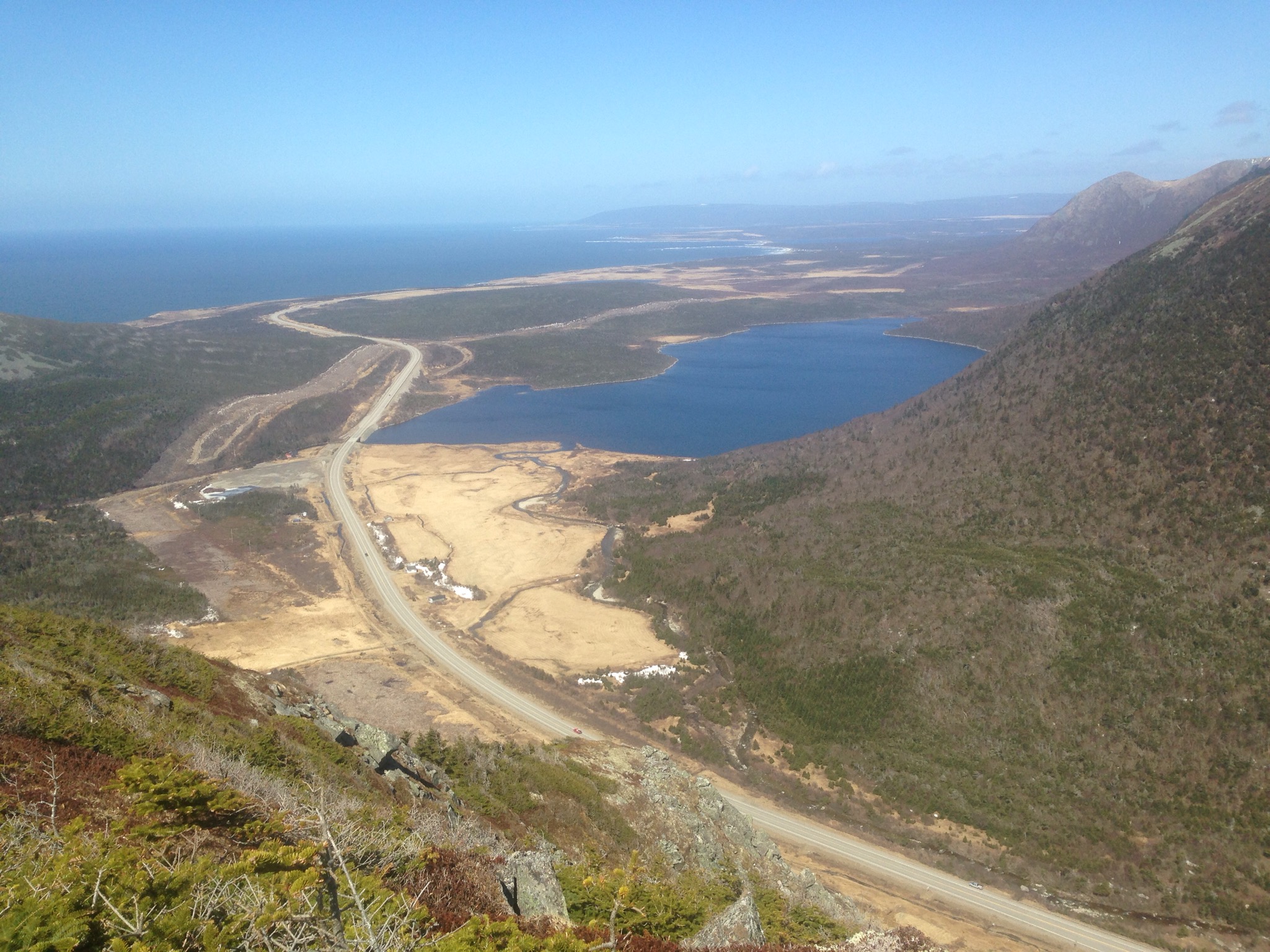
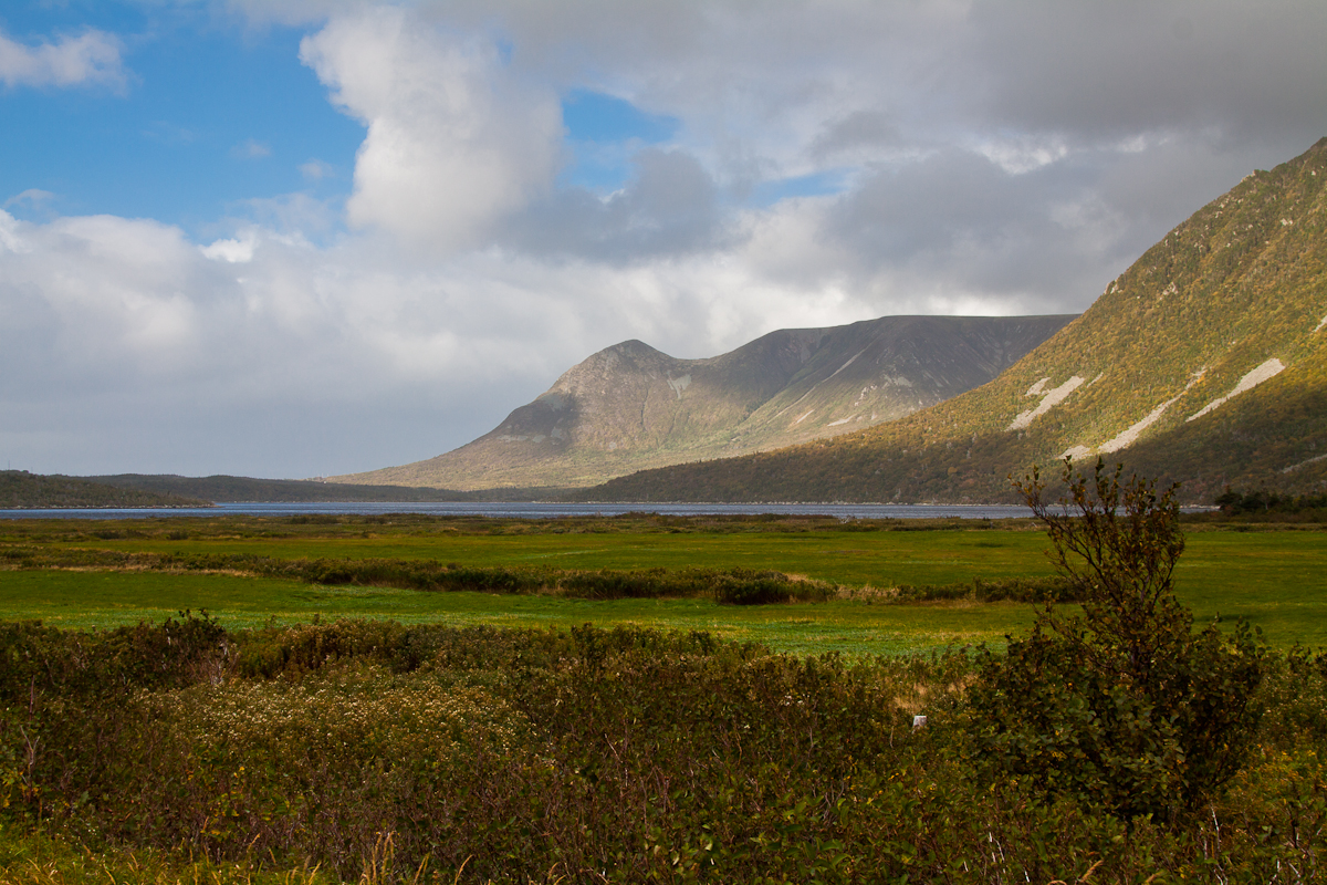
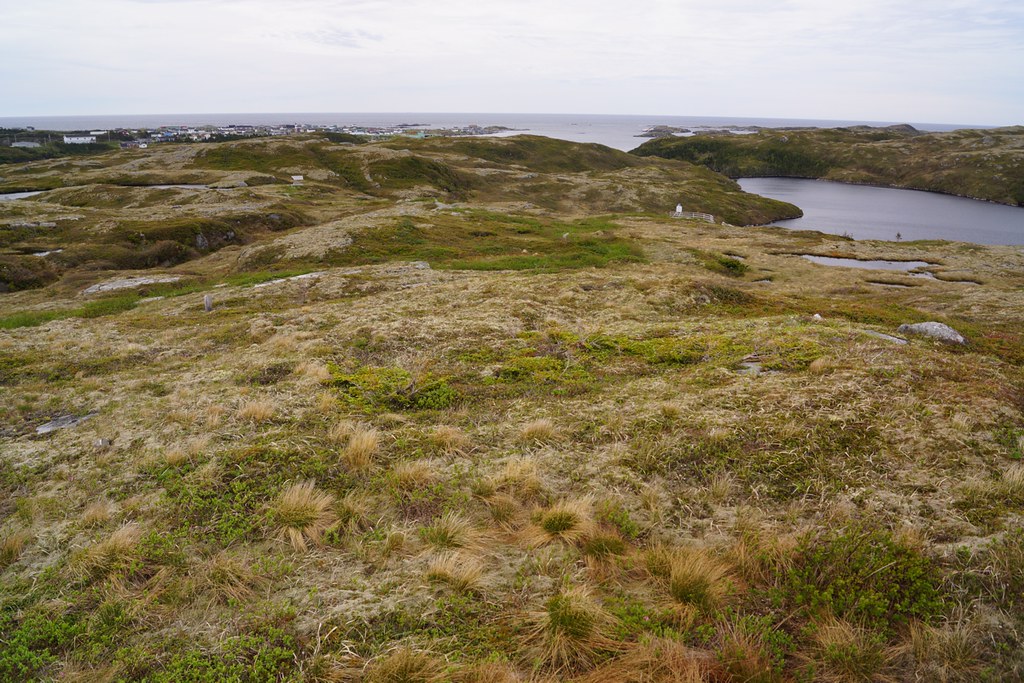
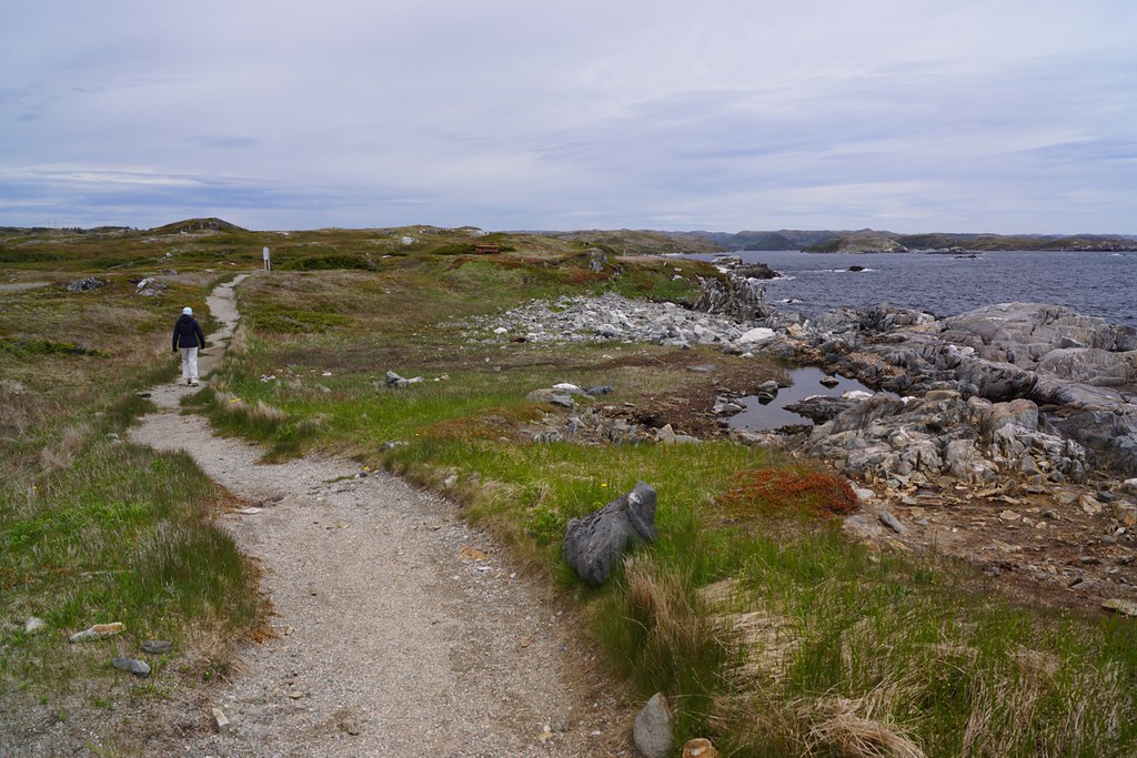
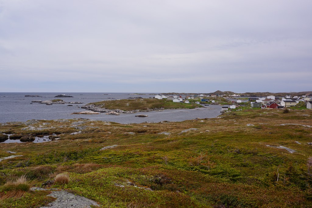
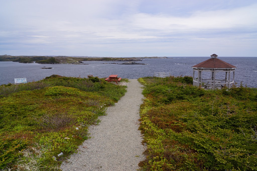
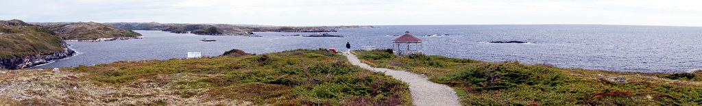
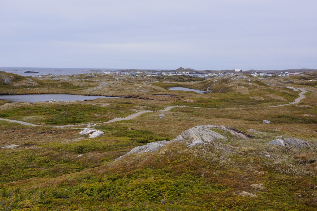
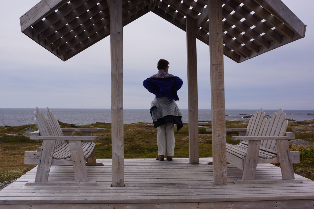
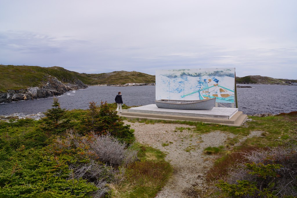
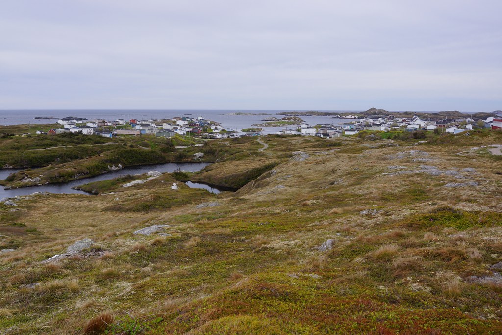
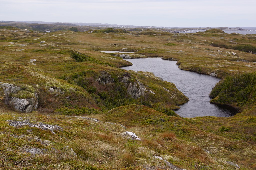
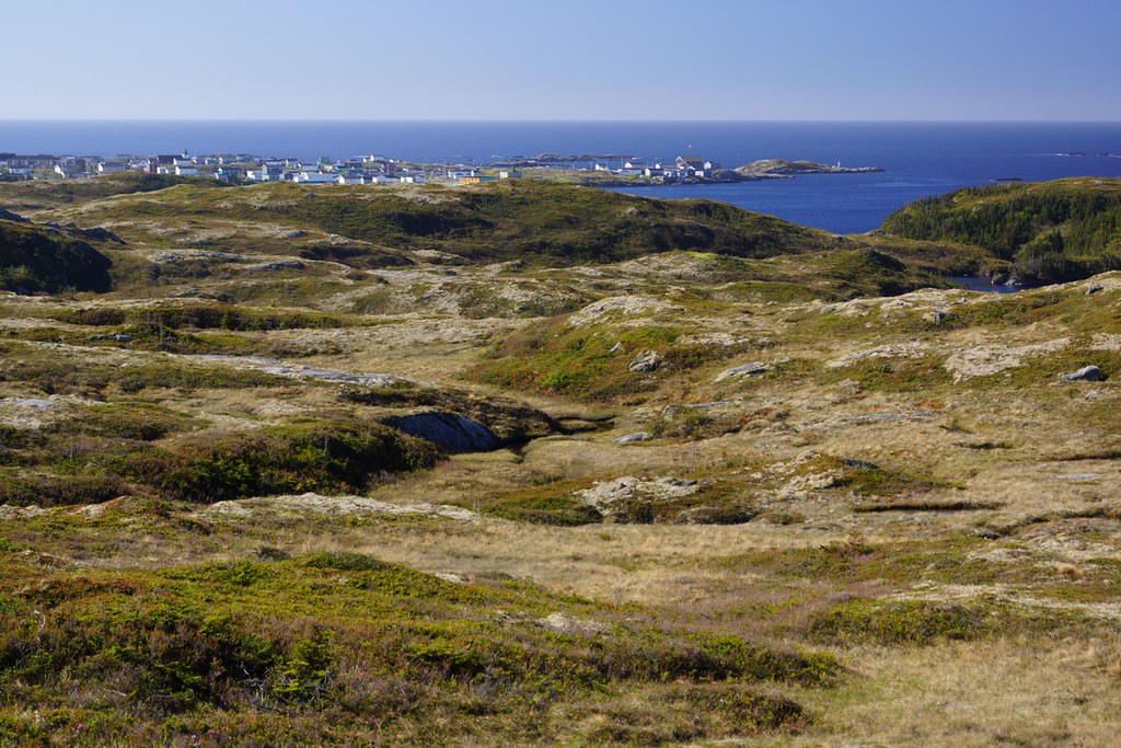
Fotos
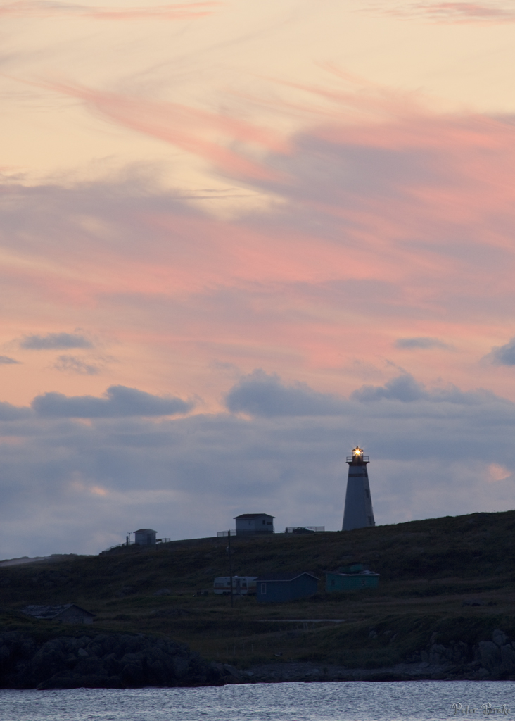
Cape Ray Light, Southwestern Newfoundland

Pedalling In Sand Can Be A Real Beach

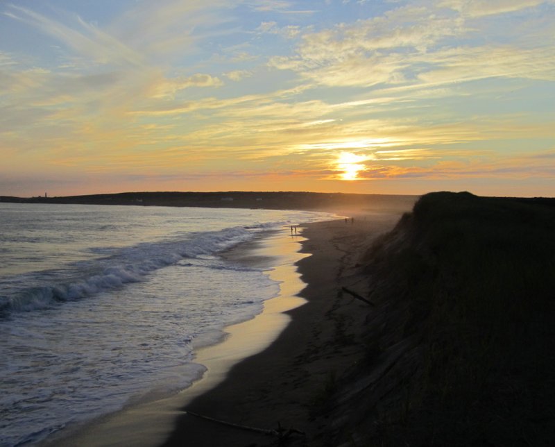
Cape Ray Beach
Newfoundland and Labrador: Wreckhouse Trail

#sunset on the #ocean #westcoast of #Newfoundland we are agonist there!
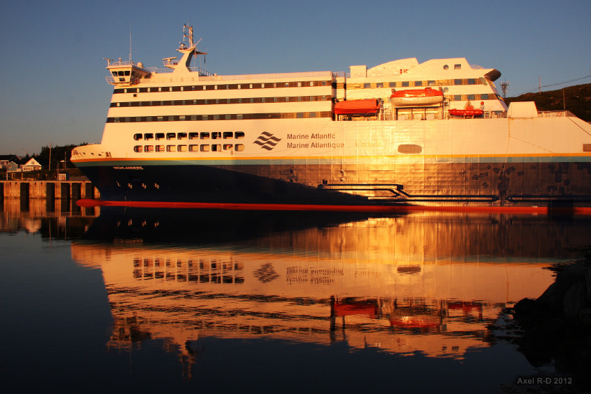
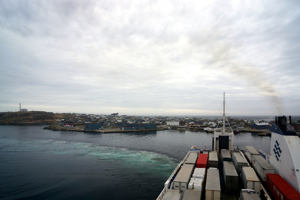
Ferry - Port aux Basques, Newfoundland
052013-613F
Twin hills, Caperay Newfoundland
Long Range Mountains
NLL 123600 Isle aux Morts
NLL 123500 Isle aux Morts
NLL 123700 Isle aux Morts
NLL 123900 Isle aux Morts - Harvey Trail
NLL 123800 Isle aux Morts
NLL 124100 Isle aux Morts - Harvey Trail
NLL 124000 Isle aux Morts - Harvey Trail
NLL 124300 Isle aux Morts - Harvey Trail
NLL 124400 Isle aux Morts - Harvey Trail
NLL 124500 Isle aux Morts - Harvey Trail
NLL 124200 Isle aux Morts - Harvey Trail
NLL 124600 Isle aux Morts - Harvey Trail
NLL 124700 Isle aux Morts - Harvey Trail
NLL 131300 Isle aux Mort
NLL 131400 Ferry in Port aux Basques
NLL 131800 Ferry leaving Port aux Basques
NLL 131900 Ferry leaving Port aux Basques
NLL 132200 Ferry leaving Port aux Basques
NLL 03900 Ferry Approaching Port aux Basques
Mapa de 77 Grand Bay Rd, Grand Bay East, NL A0N 1K0, Canadá
Buscar otro lugar
Lugares cercanos
Grand Bay East, Channel-Port aux Basques, NL A0M, Canadá
4 Cabot St, Grand Bay East, NL A0N 1K0, Canadá
Channel-Port aux Basques, NL, Canadá
41 Hwy, Cape Ray, NL A0N 1C0, Canadá
Cape Ray, NL A0M, Canadá
Saint Andrew's, NL A0N, Canadá
White Point Rd, Dingwall, NS B0C 1G0, Canadá
Cabot Trail, Neils Harbour, NS B0C 1N0, Canadá
White Point Rd, Dingwall, NS B0C 1G0, Canadá
Victoria, Subd. A, NS, Canadá
Ingonish, NS B0C, Canadá
Cape Smokey Provincial Park, Ingonish Beach, NS B0C 1L0, Canadá
Ingonish Beach, NS B0C, Canadá
Victoria County, NS, Canadá
Smokey Mountain, Victoria, Subd. A, NS B0C 1L0, Canadá
Cabot Trail, Ingonish Beach, NS B0C 1L0, Canadá
Búsquedas recientes
- Horas de salida y puesta de sol de Red Dog Mine, AK, USA
- Horas de salida y puesta de sol de Am Bahnhof, Am bhf, Borken, Germany
- Horas de salida y puesta de sol de 4th St E, Sonoma, CA, EE. UU.
- Horas de salida y puesta de sol de Oakland Ave, Williamsport, PA, EE. UU.
- Horas de salida y puesta de sol de Via Roma, Pieranica CR, Italia
- Horas de salida y puesta de sol de Torre del reloj, Grad, Dubrovnik (Ragusa), Croacia
- Horas de salida y puesta de sol de Trelew, Chubut, Argentina
- Horas de salida y puesta de sol de Hartfords Bluff Cir, Mt Pleasant, SC, EE. UU.
- Horas de salida y puesta de sol de Kita Ward, Kumamoto, Japón
- Horas de salida y puesta de sol de Pingtan Island, Pingtan County, Fuzhou, China