Horas de salida y puesta de sol de 4 Rustlers Hideaway Rd, Tonasket, WA, EE. UU.
Location: Estados Unidos > Washington > Condado de Okanogan > Tonasket >
Zona horaria:
America/Los_Angeles
Hora local:
2025-07-01 04:46:44
Longitud:
-119.322916
Latitud:
48.842458
Salida de sol de hoy:
04:58:30 AM
Puesta de sol de hoy:
09:04:10 PM
La duración del día hoy:
16h 5m 40s
Salida de sol de mañana:
04:59:11 AM
Puesta de sol de mañana:
09:03:51 PM
La duración del día mañana:
16h 4m 40s
Mostrar todas las fechas
| Fecha | Salida de sol | Puesta de sol | Duración del día |
|---|---|---|---|
| 01/01/2025 | 07:50:24 AM | 04:12:38 PM | 8h 22m 14s |
| 02/01/2025 | 07:50:15 AM | 04:13:41 PM | 8h 23m 26s |
| 03/01/2025 | 07:50:04 AM | 04:14:47 PM | 8h 24m 43s |
| 04/01/2025 | 07:49:50 AM | 04:15:54 PM | 8h 26m 4s |
| 05/01/2025 | 07:49:33 AM | 04:17:04 PM | 8h 27m 31s |
| 06/01/2025 | 07:49:13 AM | 04:18:15 PM | 8h 29m 2s |
| 07/01/2025 | 07:48:50 AM | 04:19:29 PM | 8h 30m 39s |
| 08/01/2025 | 07:48:24 AM | 04:20:44 PM | 8h 32m 20s |
| 09/01/2025 | 07:47:55 AM | 04:22:02 PM | 8h 34m 7s |
| 10/01/2025 | 07:47:23 AM | 04:23:20 PM | 8h 35m 57s |
| 11/01/2025 | 07:46:49 AM | 04:24:41 PM | 8h 37m 52s |
| 12/01/2025 | 07:46:12 AM | 04:26:03 PM | 8h 39m 51s |
| 13/01/2025 | 07:45:32 AM | 04:27:26 PM | 8h 41m 54s |
| 14/01/2025 | 07:44:49 AM | 04:28:51 PM | 8h 44m 2s |
| 15/01/2025 | 07:44:04 AM | 04:30:17 PM | 8h 46m 13s |
| 16/01/2025 | 07:43:15 AM | 04:31:45 PM | 8h 48m 30s |
| 17/01/2025 | 07:42:25 AM | 04:33:13 PM | 8h 50m 48s |
| 18/01/2025 | 07:41:32 AM | 04:34:43 PM | 8h 53m 11s |
| 19/01/2025 | 07:40:36 AM | 04:36:14 PM | 8h 55m 38s |
| 20/01/2025 | 07:39:38 AM | 04:37:45 PM | 8h 58m 7s |
| 21/01/2025 | 07:38:37 AM | 04:39:18 PM | 9h 0m 41s |
| 22/01/2025 | 07:37:34 AM | 04:40:51 PM | 9h 3m 17s |
| 23/01/2025 | 07:36:29 AM | 04:42:26 PM | 9h 5m 57s |
| 24/01/2025 | 07:35:21 AM | 04:44:00 PM | 9h 8m 39s |
| 25/01/2025 | 07:34:11 AM | 04:45:36 PM | 9h 11m 25s |
| 26/01/2025 | 07:32:59 AM | 04:47:12 PM | 9h 14m 13s |
| 27/01/2025 | 07:31:45 AM | 04:48:49 PM | 9h 17m 4s |
| 28/01/2025 | 07:30:29 AM | 04:50:26 PM | 9h 19m 57s |
| 29/01/2025 | 07:29:11 AM | 04:52:03 PM | 9h 22m 52s |
| 30/01/2025 | 07:27:50 AM | 04:53:41 PM | 9h 25m 51s |
| 31/01/2025 | 07:26:28 AM | 04:55:19 PM | 9h 28m 51s |
| 01/02/2025 | 07:25:04 AM | 04:56:57 PM | 9h 31m 53s |
| 02/02/2025 | 07:23:38 AM | 04:58:36 PM | 9h 34m 58s |
| 03/02/2025 | 07:22:10 AM | 05:00:15 PM | 9h 38m 5s |
| 04/02/2025 | 07:20:41 AM | 05:01:54 PM | 9h 41m 13s |
| 05/02/2025 | 07:19:09 AM | 05:03:33 PM | 9h 44m 24s |
| 06/02/2025 | 07:17:36 AM | 05:05:12 PM | 9h 47m 36s |
| 07/02/2025 | 07:16:02 AM | 05:06:51 PM | 9h 50m 49s |
| 08/02/2025 | 07:14:26 AM | 05:08:30 PM | 9h 54m 4s |
| 09/02/2025 | 07:12:48 AM | 05:10:09 PM | 9h 57m 21s |
| 10/02/2025 | 07:11:09 AM | 05:11:48 PM | 10h 0m 39s |
| 11/02/2025 | 07:09:29 AM | 05:13:27 PM | 10h 3m 58s |
| 12/02/2025 | 07:07:47 AM | 05:15:06 PM | 10h 7m 19s |
| 13/02/2025 | 07:06:03 AM | 05:16:45 PM | 10h 10m 42s |
| 14/02/2025 | 07:04:19 AM | 05:18:23 PM | 10h 14m 4s |
| 15/02/2025 | 07:02:33 AM | 05:20:02 PM | 10h 17m 29s |
| 16/02/2025 | 07:00:46 AM | 05:21:40 PM | 10h 20m 54s |
| 17/02/2025 | 06:58:58 AM | 05:23:18 PM | 10h 24m 20s |
| 18/02/2025 | 06:57:08 AM | 05:24:56 PM | 10h 27m 48s |
| 19/02/2025 | 06:55:18 AM | 05:26:33 PM | 10h 31m 15s |
| 20/02/2025 | 06:53:27 AM | 05:28:11 PM | 10h 34m 44s |
| 21/02/2025 | 06:51:34 AM | 05:29:48 PM | 10h 38m 14s |
| 22/02/2025 | 06:49:41 AM | 05:31:25 PM | 10h 41m 44s |
| 23/02/2025 | 06:47:46 AM | 05:33:01 PM | 10h 45m 15s |
| 24/02/2025 | 06:45:51 AM | 05:34:37 PM | 10h 48m 46s |
| 25/02/2025 | 06:43:55 AM | 05:36:13 PM | 10h 52m 18s |
| 26/02/2025 | 06:41:58 AM | 05:37:49 PM | 10h 55m 51s |
| 27/02/2025 | 06:40:00 AM | 05:39:25 PM | 10h 59m 25s |
| 28/02/2025 | 06:38:02 AM | 05:41:00 PM | 11h 2m 58s |
| 01/03/2025 | 06:36:02 AM | 05:42:35 PM | 11h 6m 33s |
| 02/03/2025 | 06:34:03 AM | 05:44:09 PM | 11h 10m 6s |
| 03/03/2025 | 06:32:02 AM | 05:45:44 PM | 11h 13m 42s |
| 04/03/2025 | 06:30:01 AM | 05:47:18 PM | 11h 17m 17s |
| 05/03/2025 | 06:27:59 AM | 05:48:51 PM | 11h 20m 52s |
| 06/03/2025 | 06:25:57 AM | 05:50:25 PM | 11h 24m 28s |
| 07/03/2025 | 06:23:54 AM | 05:51:58 PM | 11h 28m 4s |
| 08/03/2025 | 06:21:51 AM | 05:53:31 PM | 11h 31m 40s |
| 09/03/2025 | 07:19:53 AM | 06:55:00 PM | 11h 35m 7s |
| 10/03/2025 | 07:17:49 AM | 06:56:33 PM | 11h 38m 44s |
| 11/03/2025 | 07:15:44 AM | 06:58:05 PM | 11h 42m 21s |
| 12/03/2025 | 07:13:39 AM | 06:59:37 PM | 11h 45m 58s |
| 13/03/2025 | 07:11:34 AM | 07:01:09 PM | 11h 49m 35s |
| 14/03/2025 | 07:09:29 AM | 07:02:41 PM | 11h 53m 12s |
| 15/03/2025 | 07:07:23 AM | 07:04:12 PM | 11h 56m 49s |
| 16/03/2025 | 07:05:18 AM | 07:05:43 PM | 12h 0m 25s |
| 17/03/2025 | 07:03:12 AM | 07:07:15 PM | 12h 4m 3s |
| 18/03/2025 | 07:01:06 AM | 07:08:46 PM | 12h 7m 40s |
| 19/03/2025 | 06:58:59 AM | 07:10:16 PM | 12h 11m 17s |
| 20/03/2025 | 06:56:53 AM | 07:11:47 PM | 12h 14m 54s |
| 21/03/2025 | 06:54:47 AM | 07:13:18 PM | 12h 18m 31s |
| 22/03/2025 | 06:52:40 AM | 07:14:48 PM | 12h 22m 8s |
| 23/03/2025 | 06:50:34 AM | 07:16:18 PM | 12h 25m 44s |
| 24/03/2025 | 06:48:28 AM | 07:17:48 PM | 12h 29m 20s |
| 25/03/2025 | 06:46:21 AM | 07:19:18 PM | 12h 32m 57s |
| 26/03/2025 | 06:44:15 AM | 07:20:48 PM | 12h 36m 33s |
| 27/03/2025 | 06:42:09 AM | 07:22:18 PM | 12h 40m 9s |
| 28/03/2025 | 06:40:03 AM | 07:23:48 PM | 12h 43m 45s |
| 29/03/2025 | 06:37:57 AM | 07:25:18 PM | 12h 47m 21s |
| 30/03/2025 | 06:35:52 AM | 07:26:48 PM | 12h 50m 56s |
| 31/03/2025 | 06:33:47 AM | 07:28:17 PM | 12h 54m 30s |
| 01/04/2025 | 06:31:42 AM | 07:29:47 PM | 12h 58m 5s |
| 02/04/2025 | 06:29:37 AM | 07:31:16 PM | 13h 1m 39s |
| 03/04/2025 | 06:27:33 AM | 07:32:46 PM | 13h 5m 13s |
| 04/04/2025 | 06:25:29 AM | 07:34:16 PM | 13h 8m 47s |
| 05/04/2025 | 06:23:25 AM | 07:35:45 PM | 13h 12m 20s |
| 06/04/2025 | 06:21:22 AM | 07:37:14 PM | 13h 15m 52s |
| 07/04/2025 | 06:19:20 AM | 07:38:44 PM | 13h 19m 24s |
| 08/04/2025 | 06:17:18 AM | 07:40:13 PM | 13h 22m 55s |
| 09/04/2025 | 06:15:16 AM | 07:41:43 PM | 13h 26m 27s |
| 10/04/2025 | 06:13:15 AM | 07:43:12 PM | 13h 29m 57s |
| 11/04/2025 | 06:11:15 AM | 07:44:42 PM | 13h 33m 27s |
| 12/04/2025 | 06:09:15 AM | 07:46:11 PM | 13h 36m 56s |
| 13/04/2025 | 06:07:16 AM | 07:47:41 PM | 13h 40m 25s |
| 14/04/2025 | 06:05:18 AM | 07:49:10 PM | 13h 43m 52s |
| 15/04/2025 | 06:03:20 AM | 07:50:39 PM | 13h 47m 19s |
| 16/04/2025 | 06:01:23 AM | 07:52:09 PM | 13h 50m 46s |
| 17/04/2025 | 05:59:28 AM | 07:53:38 PM | 13h 54m 10s |
| 18/04/2025 | 05:57:32 AM | 07:55:07 PM | 13h 57m 35s |
| 19/04/2025 | 05:55:38 AM | 07:56:36 PM | 14h 0m 58s |
| 20/04/2025 | 05:53:45 AM | 07:58:05 PM | 14h 4m 20s |
| 21/04/2025 | 05:51:53 AM | 07:59:34 PM | 14h 7m 41s |
| 22/04/2025 | 05:50:01 AM | 08:01:03 PM | 14h 11m 2s |
| 23/04/2025 | 05:48:11 AM | 08:02:32 PM | 14h 14m 21s |
| 24/04/2025 | 05:46:22 AM | 08:04:01 PM | 14h 17m 39s |
| 25/04/2025 | 05:44:34 AM | 08:05:30 PM | 14h 20m 56s |
| 26/04/2025 | 05:42:47 AM | 08:06:58 PM | 14h 24m 11s |
| 27/04/2025 | 05:41:01 AM | 08:08:26 PM | 14h 27m 25s |
| 28/04/2025 | 05:39:17 AM | 08:09:54 PM | 14h 30m 37s |
| 29/04/2025 | 05:37:33 AM | 08:11:22 PM | 14h 33m 49s |
| 30/04/2025 | 05:35:51 AM | 08:12:50 PM | 14h 36m 59s |
| 01/05/2025 | 05:34:11 AM | 08:14:17 PM | 14h 40m 6s |
| 02/05/2025 | 05:32:32 AM | 08:15:44 PM | 14h 43m 12s |
| 03/05/2025 | 05:30:54 AM | 08:17:11 PM | 14h 46m 17s |
| 04/05/2025 | 05:29:18 AM | 08:18:37 PM | 14h 49m 19s |
| 05/05/2025 | 05:27:43 AM | 08:20:03 PM | 14h 52m 20s |
| 06/05/2025 | 05:26:10 AM | 08:21:29 PM | 14h 55m 19s |
| 07/05/2025 | 05:24:38 AM | 08:22:54 PM | 14h 58m 16s |
| 08/05/2025 | 05:23:09 AM | 08:24:18 PM | 15h 1m 9s |
| 09/05/2025 | 05:21:40 AM | 08:25:42 PM | 15h 4m 2s |
| 10/05/2025 | 05:20:14 AM | 08:27:05 PM | 15h 6m 51s |
| 11/05/2025 | 05:18:49 AM | 08:28:28 PM | 15h 9m 39s |
| 12/05/2025 | 05:17:27 AM | 08:29:50 PM | 15h 12m 23s |
| 13/05/2025 | 05:16:06 AM | 08:31:12 PM | 15h 15m 6s |
| 14/05/2025 | 05:14:47 AM | 08:32:32 PM | 15h 17m 45s |
| 15/05/2025 | 05:13:29 AM | 08:33:52 PM | 15h 20m 23s |
| 16/05/2025 | 05:12:14 AM | 08:35:11 PM | 15h 22m 57s |
| 17/05/2025 | 05:11:01 AM | 08:36:28 PM | 15h 25m 27s |
| 18/05/2025 | 05:09:50 AM | 08:37:45 PM | 15h 27m 55s |
| 19/05/2025 | 05:08:41 AM | 08:39:01 PM | 15h 30m 20s |
| 20/05/2025 | 05:07:35 AM | 08:40:16 PM | 15h 32m 41s |
| 21/05/2025 | 05:06:30 AM | 08:41:30 PM | 15h 35m 0s |
| 22/05/2025 | 05:05:28 AM | 08:42:42 PM | 15h 37m 14s |
| 23/05/2025 | 05:04:28 AM | 08:43:53 PM | 15h 39m 25s |
| 24/05/2025 | 05:03:30 AM | 08:45:03 PM | 15h 41m 33s |
| 25/05/2025 | 05:02:35 AM | 08:46:11 PM | 15h 43m 36s |
| 26/05/2025 | 05:01:42 AM | 08:47:18 PM | 15h 45m 36s |
| 27/05/2025 | 05:00:52 AM | 08:48:24 PM | 15h 47m 32s |
| 28/05/2025 | 05:00:04 AM | 08:49:28 PM | 15h 49m 24s |
| 29/05/2025 | 04:59:18 AM | 08:50:30 PM | 15h 51m 12s |
| 30/05/2025 | 04:58:35 AM | 08:51:31 PM | 15h 52m 56s |
| 31/05/2025 | 04:57:55 AM | 08:52:30 PM | 15h 54m 35s |
| 01/06/2025 | 04:57:17 AM | 08:53:27 PM | 15h 56m 10s |
| 02/06/2025 | 04:56:42 AM | 08:54:22 PM | 15h 57m 40s |
| 03/06/2025 | 04:56:09 AM | 08:55:15 PM | 15h 59m 6s |
| 04/06/2025 | 04:55:39 AM | 08:56:07 PM | 16h 0m 28s |
| 05/06/2025 | 04:55:12 AM | 08:56:56 PM | 16h 1m 44s |
| 06/06/2025 | 04:54:47 AM | 08:57:43 PM | 16h 2m 56s |
| 07/06/2025 | 04:54:25 AM | 08:58:28 PM | 16h 4m 3s |
| 08/06/2025 | 04:54:06 AM | 08:59:11 PM | 16h 5m 5s |
| 09/06/2025 | 04:53:49 AM | 08:59:51 PM | 16h 6m 2s |
| 10/06/2025 | 04:53:35 AM | 09:00:30 PM | 16h 6m 55s |
| 11/06/2025 | 04:53:24 AM | 09:01:06 PM | 16h 7m 42s |
| 12/06/2025 | 04:53:16 AM | 09:01:39 PM | 16h 8m 23s |
| 13/06/2025 | 04:53:10 AM | 09:02:10 PM | 16h 9m 0s |
| 14/06/2025 | 04:53:07 AM | 09:02:39 PM | 16h 9m 32s |
| 15/06/2025 | 04:53:07 AM | 09:03:05 PM | 16h 9m 58s |
| 16/06/2025 | 04:53:10 AM | 09:03:28 PM | 16h 10m 18s |
| 17/06/2025 | 04:53:15 AM | 09:03:49 PM | 16h 10m 34s |
| 18/06/2025 | 04:53:23 AM | 09:04:08 PM | 16h 10m 45s |
| 19/06/2025 | 04:53:33 AM | 09:04:23 PM | 16h 10m 50s |
| 20/06/2025 | 04:53:46 AM | 09:04:36 PM | 16h 10m 50s |
| 21/06/2025 | 04:54:02 AM | 09:04:47 PM | 16h 10m 45s |
| 22/06/2025 | 04:54:20 AM | 09:04:54 PM | 16h 10m 34s |
| 23/06/2025 | 04:54:41 AM | 09:04:59 PM | 16h 10m 18s |
| 24/06/2025 | 04:55:05 AM | 09:05:01 PM | 16h 9m 56s |
| 25/06/2025 | 04:55:30 AM | 09:05:01 PM | 16h 9m 31s |
| 26/06/2025 | 04:55:59 AM | 09:04:57 PM | 16h 8m 58s |
| 27/06/2025 | 04:56:29 AM | 09:04:51 PM | 16h 8m 22s |
| 28/06/2025 | 04:57:02 AM | 09:04:42 PM | 16h 7m 40s |
| 29/06/2025 | 04:57:38 AM | 09:04:30 PM | 16h 6m 52s |
| 30/06/2025 | 04:58:15 AM | 09:04:16 PM | 16h 6m 1s |
| 01/07/2025 | 04:58:55 AM | 09:03:59 PM | 16h 5m 4s |
| 02/07/2025 | 04:59:37 AM | 09:03:39 PM | 16h 4m 2s |
| 03/07/2025 | 05:00:21 AM | 09:03:16 PM | 16h 2m 55s |
| 04/07/2025 | 05:01:08 AM | 09:02:50 PM | 16h 1m 42s |
| 05/07/2025 | 05:01:56 AM | 09:02:22 PM | 16h 0m 26s |
| 06/07/2025 | 05:02:46 AM | 09:01:51 PM | 15h 59m 5s |
| 07/07/2025 | 05:03:38 AM | 09:01:18 PM | 15h 57m 40s |
| 08/07/2025 | 05:04:32 AM | 09:00:42 PM | 15h 56m 10s |
| 09/07/2025 | 05:05:28 AM | 09:00:03 PM | 15h 54m 35s |
| 10/07/2025 | 05:06:25 AM | 08:59:21 PM | 15h 52m 56s |
| 11/07/2025 | 05:07:24 AM | 08:58:37 PM | 15h 51m 13s |
| 12/07/2025 | 05:08:25 AM | 08:57:51 PM | 15h 49m 26s |
| 13/07/2025 | 05:09:27 AM | 08:57:02 PM | 15h 47m 35s |
| 14/07/2025 | 05:10:30 AM | 08:56:10 PM | 15h 45m 40s |
| 15/07/2025 | 05:11:35 AM | 08:55:16 PM | 15h 43m 41s |
| 16/07/2025 | 05:12:42 AM | 08:54:20 PM | 15h 41m 38s |
| 17/07/2025 | 05:13:49 AM | 08:53:21 PM | 15h 39m 32s |
| 18/07/2025 | 05:14:58 AM | 08:52:20 PM | 15h 37m 22s |
| 19/07/2025 | 05:16:08 AM | 08:51:17 PM | 15h 35m 9s |
| 20/07/2025 | 05:17:20 AM | 08:50:11 PM | 15h 32m 51s |
| 21/07/2025 | 05:18:32 AM | 08:49:03 PM | 15h 30m 31s |
| 22/07/2025 | 05:19:45 AM | 08:47:53 PM | 15h 28m 8s |
| 23/07/2025 | 05:21:00 AM | 08:46:41 PM | 15h 25m 41s |
| 24/07/2025 | 05:22:15 AM | 08:45:27 PM | 15h 23m 12s |
| 25/07/2025 | 05:23:31 AM | 08:44:11 PM | 15h 20m 40s |
| 26/07/2025 | 05:24:48 AM | 08:42:52 PM | 15h 18m 4s |
| 27/07/2025 | 05:26:05 AM | 08:41:32 PM | 15h 15m 27s |
| 28/07/2025 | 05:27:23 AM | 08:40:10 PM | 15h 12m 47s |
| 29/07/2025 | 05:28:42 AM | 08:38:46 PM | 15h 10m 4s |
| 30/07/2025 | 05:30:02 AM | 08:37:20 PM | 15h 7m 18s |
| 31/07/2025 | 05:31:22 AM | 08:35:52 PM | 15h 4m 30s |
| 01/08/2025 | 05:32:43 AM | 08:34:23 PM | 15h 1m 40s |
| 02/08/2025 | 05:34:04 AM | 08:32:52 PM | 14h 58m 48s |
| 03/08/2025 | 05:35:25 AM | 08:31:19 PM | 14h 55m 54s |
| 04/08/2025 | 05:36:47 AM | 08:29:45 PM | 14h 52m 58s |
| 05/08/2025 | 05:38:10 AM | 08:28:09 PM | 14h 49m 59s |
| 06/08/2025 | 05:39:32 AM | 08:26:32 PM | 14h 47m 0s |
| 07/08/2025 | 05:40:55 AM | 08:24:53 PM | 14h 43m 58s |
| 08/08/2025 | 05:42:19 AM | 08:23:12 PM | 14h 40m 53s |
| 09/08/2025 | 05:43:42 AM | 08:21:31 PM | 14h 37m 49s |
| 10/08/2025 | 05:45:06 AM | 08:19:48 PM | 14h 34m 42s |
| 11/08/2025 | 05:46:30 AM | 08:18:03 PM | 14h 31m 33s |
| 12/08/2025 | 05:47:54 AM | 08:16:17 PM | 14h 28m 23s |
| 13/08/2025 | 05:49:18 AM | 08:14:30 PM | 14h 25m 12s |
| 14/08/2025 | 05:50:43 AM | 08:12:42 PM | 14h 21m 59s |
| 15/08/2025 | 05:52:07 AM | 08:10:53 PM | 14h 18m 46s |
| 16/08/2025 | 05:53:32 AM | 08:09:03 PM | 14h 15m 31s |
| 17/08/2025 | 05:54:56 AM | 08:07:11 PM | 14h 12m 15s |
| 18/08/2025 | 05:56:21 AM | 08:05:18 PM | 14h 8m 57s |
| 19/08/2025 | 05:57:46 AM | 08:03:25 PM | 14h 5m 39s |
| 20/08/2025 | 05:59:11 AM | 08:01:30 PM | 14h 2m 19s |
| 21/08/2025 | 06:00:36 AM | 07:59:35 PM | 13h 58m 59s |
| 22/08/2025 | 06:02:01 AM | 07:57:39 PM | 13h 55m 38s |
| 23/08/2025 | 06:03:25 AM | 07:55:41 PM | 13h 52m 16s |
| 24/08/2025 | 06:04:50 AM | 07:53:43 PM | 13h 48m 53s |
| 25/08/2025 | 06:06:15 AM | 07:51:44 PM | 13h 45m 29s |
| 26/08/2025 | 06:07:40 AM | 07:49:45 PM | 13h 42m 5s |
| 27/08/2025 | 06:09:05 AM | 07:47:44 PM | 13h 38m 39s |
| 28/08/2025 | 06:10:30 AM | 07:45:43 PM | 13h 35m 13s |
| 29/08/2025 | 06:11:54 AM | 07:43:42 PM | 13h 31m 48s |
| 30/08/2025 | 06:13:19 AM | 07:41:40 PM | 13h 28m 21s |
| 31/08/2025 | 06:14:44 AM | 07:39:37 PM | 13h 24m 53s |
| 01/09/2025 | 06:16:09 AM | 07:37:33 PM | 13h 21m 24s |
| 02/09/2025 | 06:17:33 AM | 07:35:29 PM | 13h 17m 56s |
| 03/09/2025 | 06:18:58 AM | 07:33:25 PM | 13h 14m 27s |
| 04/09/2025 | 06:20:23 AM | 07:31:20 PM | 13h 10m 57s |
| 05/09/2025 | 06:21:47 AM | 07:29:15 PM | 13h 7m 28s |
| 06/09/2025 | 06:23:12 AM | 07:27:09 PM | 13h 3m 57s |
| 07/09/2025 | 06:24:37 AM | 07:25:03 PM | 13h 0m 26s |
| 08/09/2025 | 06:26:01 AM | 07:22:56 PM | 12h 56m 55s |
| 09/09/2025 | 06:27:26 AM | 07:20:50 PM | 12h 53m 24s |
| 10/09/2025 | 06:28:51 AM | 07:18:43 PM | 12h 49m 52s |
| 11/09/2025 | 06:30:16 AM | 07:16:35 PM | 12h 46m 19s |
| 12/09/2025 | 06:31:40 AM | 07:14:28 PM | 12h 42m 48s |
| 13/09/2025 | 06:33:05 AM | 07:12:20 PM | 12h 39m 15s |
| 14/09/2025 | 06:34:30 AM | 07:10:13 PM | 12h 35m 43s |
| 15/09/2025 | 06:35:55 AM | 07:08:05 PM | 12h 32m 10s |
| 16/09/2025 | 06:37:20 AM | 07:05:57 PM | 12h 28m 37s |
| 17/09/2025 | 06:38:46 AM | 07:03:49 PM | 12h 25m 3s |
| 18/09/2025 | 06:40:11 AM | 07:01:40 PM | 12h 21m 29s |
| 19/09/2025 | 06:41:36 AM | 06:59:32 PM | 12h 17m 56s |
| 20/09/2025 | 06:43:02 AM | 06:57:24 PM | 12h 14m 22s |
| 21/09/2025 | 06:44:27 AM | 06:55:16 PM | 12h 10m 49s |
| 22/09/2025 | 06:45:53 AM | 06:53:08 PM | 12h 7m 15s |
| 23/09/2025 | 06:47:19 AM | 06:51:01 PM | 12h 3m 42s |
| 24/09/2025 | 06:48:45 AM | 06:48:53 PM | 12h 0m 8s |
| 25/09/2025 | 06:50:12 AM | 06:46:46 PM | 11h 56m 34s |
| 26/09/2025 | 06:51:38 AM | 06:44:38 PM | 11h 53m 0s |
| 27/09/2025 | 06:53:05 AM | 06:42:31 PM | 11h 49m 26s |
| 28/09/2025 | 06:54:32 AM | 06:40:25 PM | 11h 45m 53s |
| 29/09/2025 | 06:55:59 AM | 06:38:18 PM | 11h 42m 19s |
| 30/09/2025 | 06:57:26 AM | 06:36:12 PM | 11h 38m 46s |
| 01/10/2025 | 06:58:54 AM | 06:34:06 PM | 11h 35m 12s |
| 02/10/2025 | 07:00:21 AM | 06:32:01 PM | 11h 31m 40s |
| 03/10/2025 | 07:01:50 AM | 06:29:56 PM | 11h 28m 6s |
| 04/10/2025 | 07:03:18 AM | 06:27:52 PM | 11h 24m 34s |
| 05/10/2025 | 07:04:46 AM | 06:25:48 PM | 11h 21m 2s |
| 06/10/2025 | 07:06:15 AM | 06:23:44 PM | 11h 17m 29s |
| 07/10/2025 | 07:07:45 AM | 06:21:41 PM | 11h 13m 56s |
| 08/10/2025 | 07:09:14 AM | 06:19:39 PM | 11h 10m 25s |
| 09/10/2025 | 07:10:44 AM | 06:17:37 PM | 11h 6m 53s |
| 10/10/2025 | 07:12:14 AM | 06:15:37 PM | 11h 3m 23s |
| 11/10/2025 | 07:13:44 AM | 06:13:36 PM | 10h 59m 52s |
| 12/10/2025 | 07:15:15 AM | 06:11:37 PM | 10h 56m 22s |
| 13/10/2025 | 07:16:46 AM | 06:09:38 PM | 10h 52m 52s |
| 14/10/2025 | 07:18:17 AM | 06:07:40 PM | 10h 49m 23s |
| 15/10/2025 | 07:19:48 AM | 06:05:43 PM | 10h 45m 55s |
| 16/10/2025 | 07:21:20 AM | 06:03:47 PM | 10h 42m 27s |
| 17/10/2025 | 07:22:52 AM | 06:01:51 PM | 10h 38m 59s |
| 18/10/2025 | 07:24:25 AM | 05:59:57 PM | 10h 35m 32s |
| 19/10/2025 | 07:25:58 AM | 05:58:03 PM | 10h 32m 5s |
| 20/10/2025 | 07:27:31 AM | 05:56:11 PM | 10h 28m 40s |
| 21/10/2025 | 07:29:04 AM | 05:54:20 PM | 10h 25m 16s |
| 22/10/2025 | 07:30:37 AM | 05:52:29 PM | 10h 21m 52s |
| 23/10/2025 | 07:32:11 AM | 05:50:40 PM | 10h 18m 29s |
| 24/10/2025 | 07:33:45 AM | 05:48:53 PM | 10h 15m 8s |
| 25/10/2025 | 07:35:19 AM | 05:47:06 PM | 10h 11m 47s |
| 26/10/2025 | 07:36:54 AM | 05:45:21 PM | 10h 8m 27s |
| 27/10/2025 | 07:38:28 AM | 05:43:36 PM | 10h 5m 8s |
| 28/10/2025 | 07:40:03 AM | 05:41:54 PM | 10h 1m 51s |
| 29/10/2025 | 07:41:38 AM | 05:40:12 PM | 9h 58m 34s |
| 30/10/2025 | 07:43:13 AM | 05:38:33 PM | 9h 55m 20s |
| 31/10/2025 | 07:44:48 AM | 05:36:54 PM | 9h 52m 6s |
| 01/11/2025 | 07:46:24 AM | 05:35:17 PM | 9h 48m 53s |
| 02/11/2025 | 06:48:03 AM | 04:33:38 PM | 9h 45m 35s |
| 03/11/2025 | 06:49:38 AM | 04:32:05 PM | 9h 42m 27s |
| 04/11/2025 | 06:51:13 AM | 04:30:33 PM | 9h 39m 20s |
| 05/11/2025 | 06:52:49 AM | 04:29:03 PM | 9h 36m 14s |
| 06/11/2025 | 06:54:24 AM | 04:27:34 PM | 9h 33m 10s |
| 07/11/2025 | 06:55:59 AM | 04:26:08 PM | 9h 30m 9s |
| 08/11/2025 | 06:57:33 AM | 04:24:43 PM | 9h 27m 10s |
| 09/11/2025 | 06:59:08 AM | 04:23:21 PM | 9h 24m 13s |
| 10/11/2025 | 07:00:42 AM | 04:22:00 PM | 9h 21m 18s |
| 11/11/2025 | 07:02:16 AM | 04:20:41 PM | 9h 18m 25s |
| 12/11/2025 | 07:03:50 AM | 04:19:24 PM | 9h 15m 34s |
| 13/11/2025 | 07:05:23 AM | 04:18:10 PM | 9h 12m 47s |
| 14/11/2025 | 07:06:56 AM | 04:16:57 PM | 9h 10m 1s |
| 15/11/2025 | 07:08:28 AM | 04:15:47 PM | 9h 7m 19s |
| 16/11/2025 | 07:10:00 AM | 04:14:39 PM | 9h 4m 39s |
| 17/11/2025 | 07:11:31 AM | 04:13:33 PM | 9h 2m 2s |
| 18/11/2025 | 07:13:01 AM | 04:12:30 PM | 8h 59m 29s |
| 19/11/2025 | 07:14:30 AM | 04:11:29 PM | 8h 56m 59s |
| 20/11/2025 | 07:15:59 AM | 04:10:31 PM | 8h 54m 32s |
| 21/11/2025 | 07:17:27 AM | 04:09:35 PM | 8h 52m 8s |
| 22/11/2025 | 07:18:54 AM | 04:08:41 PM | 8h 49m 47s |
| 23/11/2025 | 07:20:19 AM | 04:07:50 PM | 8h 47m 31s |
| 24/11/2025 | 07:21:44 AM | 04:07:02 PM | 8h 45m 18s |
| 25/11/2025 | 07:23:08 AM | 04:06:16 PM | 8h 43m 8s |
| 26/11/2025 | 07:24:30 AM | 04:05:34 PM | 8h 41m 4s |
| 27/11/2025 | 07:25:51 AM | 04:04:53 PM | 8h 39m 2s |
| 28/11/2025 | 07:27:10 AM | 04:04:16 PM | 8h 37m 6s |
| 29/11/2025 | 07:28:28 AM | 04:03:42 PM | 8h 35m 14s |
| 30/11/2025 | 07:29:45 AM | 04:03:10 PM | 8h 33m 25s |
| 01/12/2025 | 07:31:00 AM | 04:02:41 PM | 8h 31m 41s |
| 02/12/2025 | 07:32:13 AM | 04:02:15 PM | 8h 30m 2s |
| 03/12/2025 | 07:33:24 AM | 04:01:52 PM | 8h 28m 28s |
| 04/12/2025 | 07:34:34 AM | 04:01:32 PM | 8h 26m 58s |
| 05/12/2025 | 07:35:42 AM | 04:01:16 PM | 8h 25m 34s |
| 06/12/2025 | 07:36:47 AM | 04:01:02 PM | 8h 24m 15s |
| 07/12/2025 | 07:37:51 AM | 04:00:51 PM | 8h 23m 0s |
| 08/12/2025 | 07:38:52 AM | 04:00:43 PM | 8h 21m 51s |
| 09/12/2025 | 07:39:51 AM | 04:00:38 PM | 8h 20m 47s |
| 10/12/2025 | 07:40:48 AM | 04:00:36 PM | 8h 19m 48s |
| 11/12/2025 | 07:41:43 AM | 04:00:38 PM | 8h 18m 55s |
| 12/12/2025 | 07:42:35 AM | 04:00:42 PM | 8h 18m 7s |
| 13/12/2025 | 07:43:25 AM | 04:00:49 PM | 8h 17m 24s |
| 14/12/2025 | 07:44:12 AM | 04:01:00 PM | 8h 16m 48s |
| 15/12/2025 | 07:44:57 AM | 04:01:13 PM | 8h 16m 16s |
| 16/12/2025 | 07:45:39 AM | 04:01:30 PM | 8h 15m 51s |
| 17/12/2025 | 07:46:19 AM | 04:01:49 PM | 8h 15m 30s |
| 18/12/2025 | 07:46:55 AM | 04:02:12 PM | 8h 15m 17s |
| 19/12/2025 | 07:47:29 AM | 04:02:38 PM | 8h 15m 9s |
| 20/12/2025 | 07:48:00 AM | 04:03:06 PM | 8h 15m 6s |
| 21/12/2025 | 07:48:29 AM | 04:03:38 PM | 8h 15m 9s |
| 22/12/2025 | 07:48:54 AM | 04:04:12 PM | 8h 15m 18s |
| 23/12/2025 | 07:49:16 AM | 04:04:49 PM | 8h 15m 33s |
| 24/12/2025 | 07:49:36 AM | 04:05:29 PM | 8h 15m 53s |
| 25/12/2025 | 07:49:53 AM | 04:06:11 PM | 8h 16m 18s |
| 26/12/2025 | 07:50:06 AM | 04:06:57 PM | 8h 16m 51s |
| 27/12/2025 | 07:50:17 AM | 04:07:45 PM | 8h 17m 28s |
| 28/12/2025 | 07:50:25 AM | 04:08:36 PM | 8h 18m 11s |
| 29/12/2025 | 07:50:29 AM | 04:09:29 PM | 8h 19m 0s |
| 30/12/2025 | 07:50:31 AM | 04:10:24 PM | 8h 19m 53s |
| 31/12/2025 | 07:50:29 AM | 04:11:22 PM | 8h 20m 53s |
Fotos

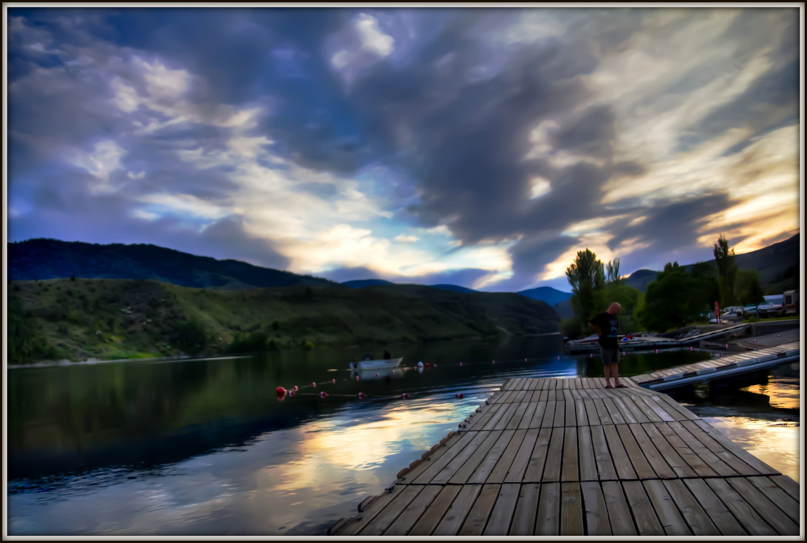
Osoyoos Sunset
10-17-2009 Clouds (6)

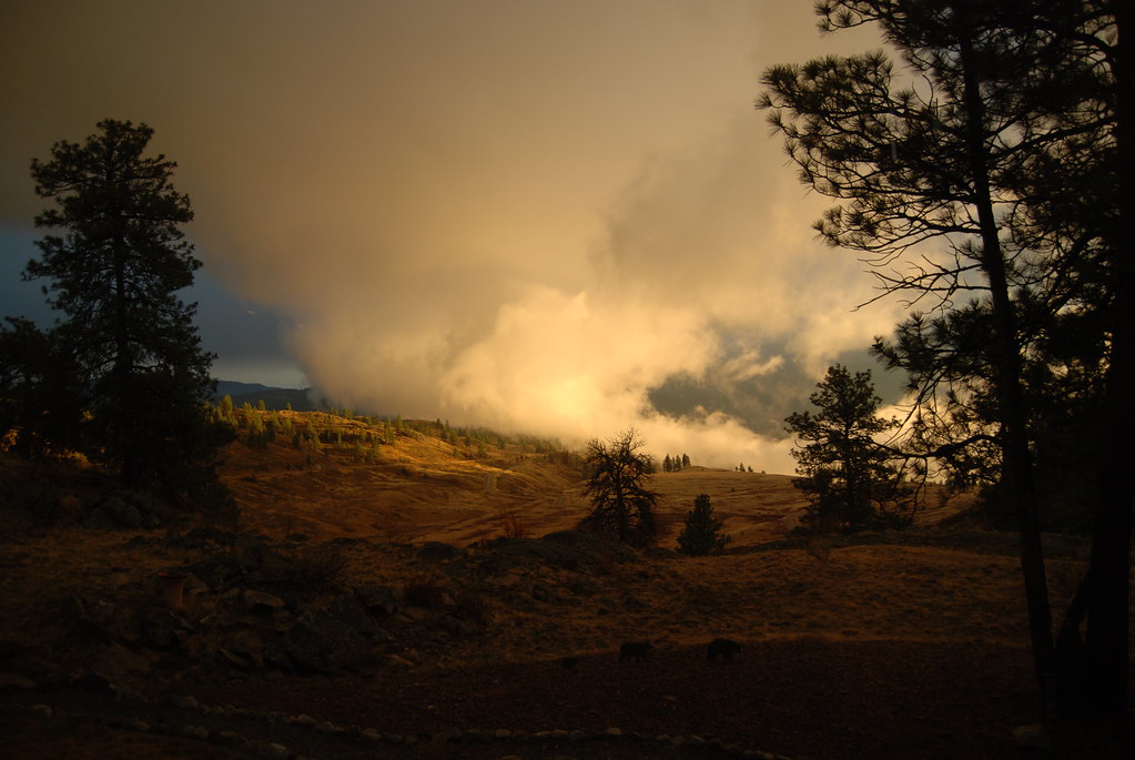
Sunset in Okanogan Highlands
Spectacle Lake
IMG_1525
Rolling hills of Eastern Washington near Havillah
Whistler Canyon trailhead of the Pacific Northwest Trail, near Oroville, Washington
Okanogan National Forest portal sign (small)
The old Oroville Railroad Depot, now museum
2015 - Washington State - Chesaw Road - 3 of 6
Gold Digger
Not Frank Lloyd Wright
Oroville mining town
Great Horned Owl (3)
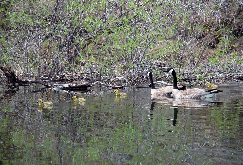
Canadian Geese (Branta canadensis)- Lk.Wannacut, E. Washington
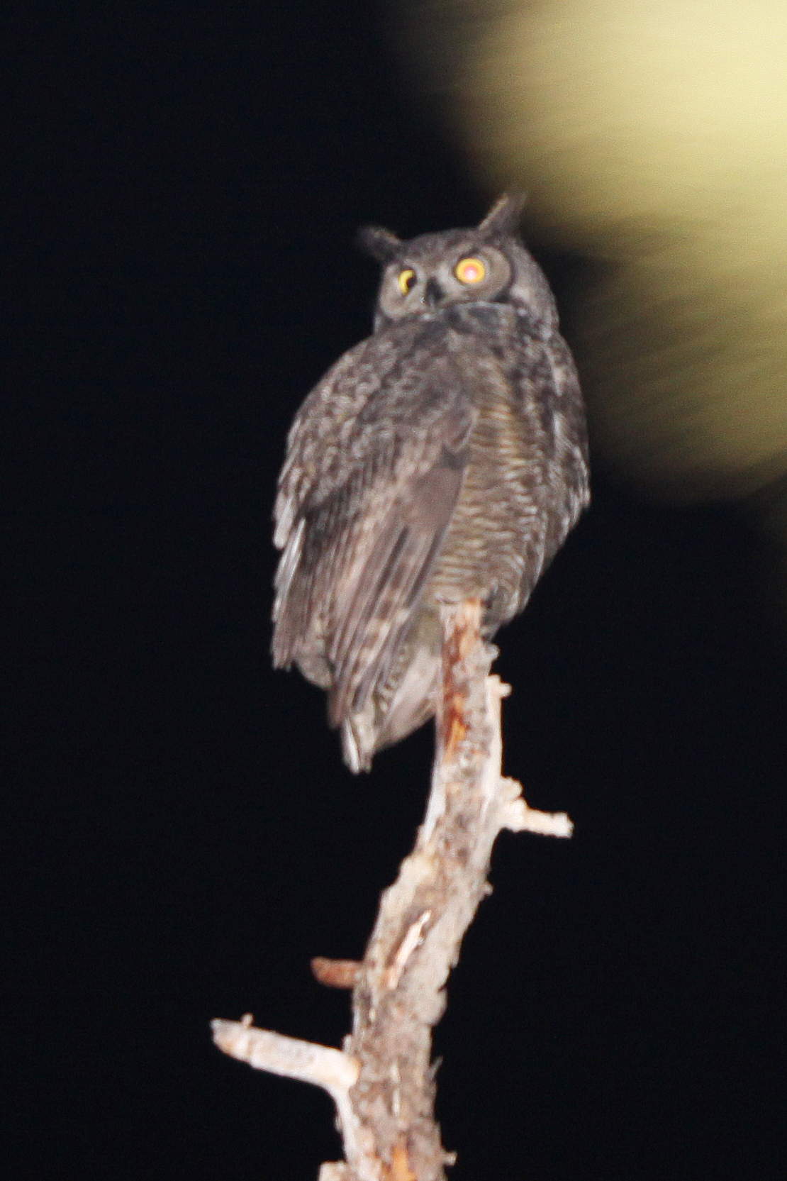
Great Horned Owl
North Cascades NP/Osoyoos, BC/Coulee Dam - May 25-28, 2018
North Cascades NP/Osoyoos, BC/Coulee Dam - May 25-28, 2018
North Cascades NP/Osoyoos, BC/Coulee Dam - May 25-28, 2018

Abandoned Beauty
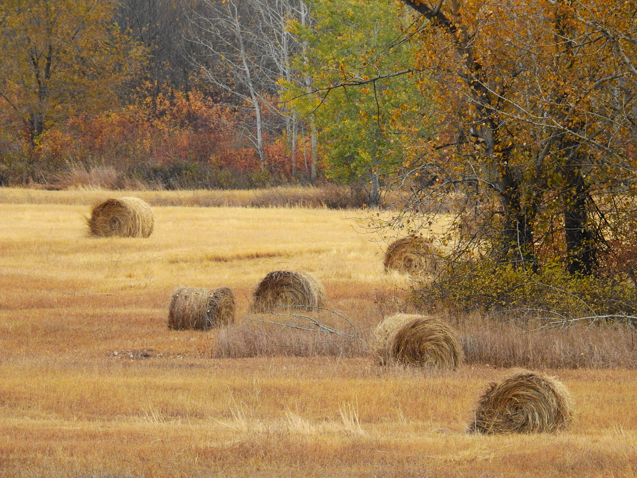
Hay bales
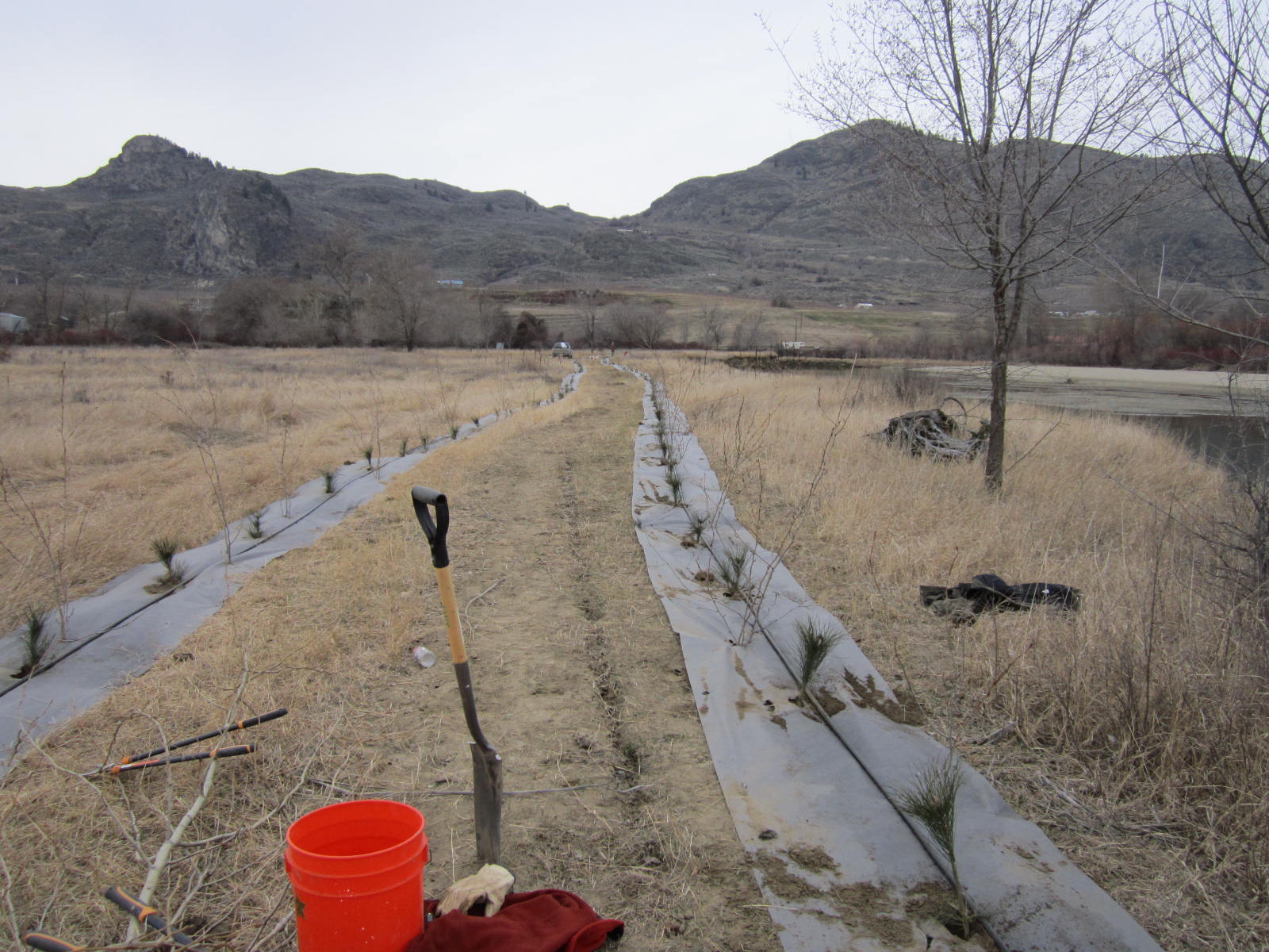
Driscoll Island Planting
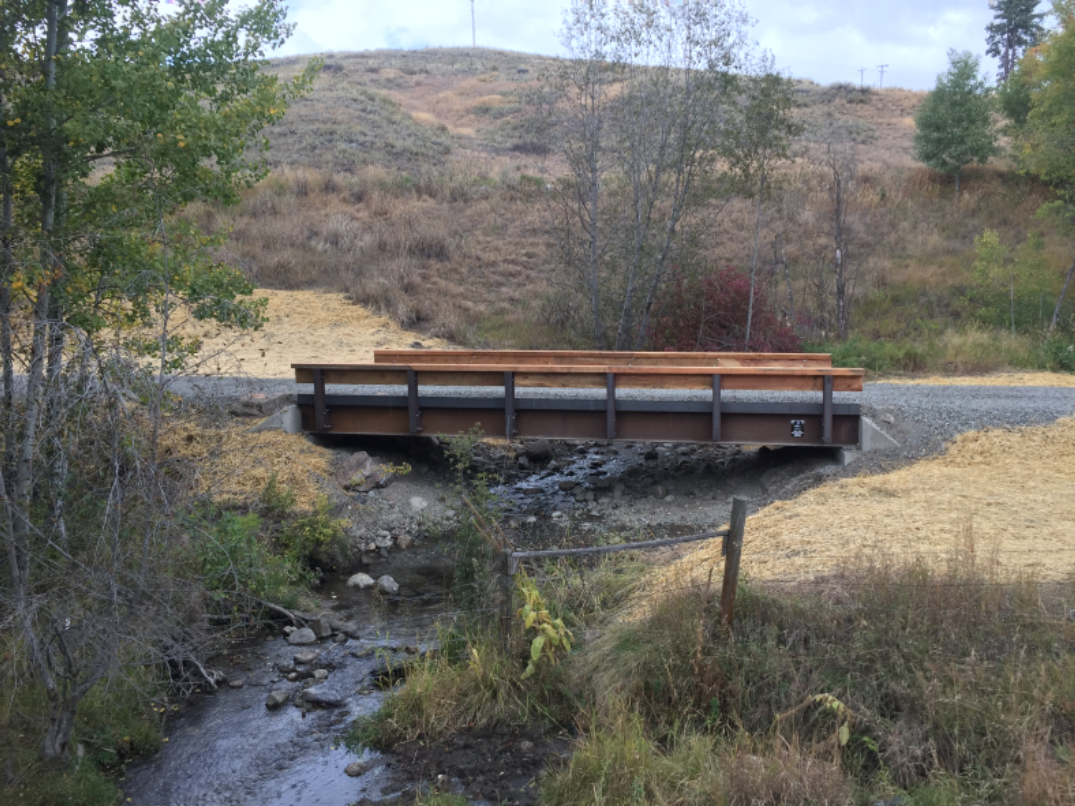
Hineline--AntoineCreek
Ames--MillCreek
The Okanogan River Valley from the Pacific Northwest Trail above Whistler Canyon
Beginning of Similkameen trail Oroville WA
Mapa de 4 Rustlers Hideaway Rd, Tonasket, WA, EE. UU.
Buscar otro lugar
Lugares cercanos
Swanson Mill Rd, Tonasket, WA, EE. UU.
16 Summit Lake Rd, Tonasket, WA, EE. UU.
Swanson Mill Rd, Tonasket, WA, EE. UU.
North Ridge Road, N Ridge Rd, Washington, EE. UU.
75 Cougar Canyon Rd, Tonasket, WA, EE. UU.
Corral Dr, Tonasket, WA, EE. UU.
Antwyne Ln, Tonasket, WA, EE. UU.
West Corral Road, W Corral Rd, Washington, EE. UU.
19 Gavin Rd, Oroville, WA, EE. UU.
19 Gavin Rd, Oroville, WA, EE. UU.
Havillah, Washington, EE. UU.
Highlands Sno-Park, Tonasket, WA, EE. UU.
B Chesaw Rd, Oroville, WA, EE. UU.
80 Old Burnham Rd, Oroville, WA, EE. UU.
Oroville, Washington, EE. UU.
Apple Way Ave, Oroville, WA, EE. UU.
Caribou Cres, Osoyoos, BC V0H 1V6, Canadá
Chesaw Rd, Oroville, WA, EE. UU.
Whitestone Lake, Washington, EE. UU.
Caribou Crescent, Caribou Cres, Osoyoos, BC V0H 1V6, Canadá
Búsquedas recientes
- Horas de salida y puesta de sol de Red Dog Mine, AK, USA
- Horas de salida y puesta de sol de Am Bahnhof, Am bhf, Borken, Germany
- Horas de salida y puesta de sol de 4th St E, Sonoma, CA, EE. UU.
- Horas de salida y puesta de sol de Oakland Ave, Williamsport, PA, EE. UU.
- Horas de salida y puesta de sol de Via Roma, Pieranica CR, Italia
- Horas de salida y puesta de sol de Torre del reloj, Grad, Dubrovnik (Ragusa), Croacia
- Horas de salida y puesta de sol de Trelew, Chubut, Argentina
- Horas de salida y puesta de sol de Hartfords Bluff Cir, Mt Pleasant, SC, EE. UU.
- Horas de salida y puesta de sol de Kita Ward, Kumamoto, Japón
- Horas de salida y puesta de sol de Pingtan Island, Pingtan County, Fuzhou, China