Horas de salida y puesta de sol de 15 Kerber Creek Sub, Villa Grove, CO, EE. UU.
Location: Estados Unidos > Colorado > Condado de Saguache > Villa Grove >
Zona horaria:
America/Denver
Hora local:
2025-06-21 06:27:20
Longitud:
-106.1106306
Latitud:
38.1885645
Salida de sol de hoy:
05:41:40 AM
Puesta de sol de hoy:
08:31:10 PM
La duración del día hoy:
14h 49m 30s
Salida de sol de mañana:
05:41:55 AM
Puesta de sol de mañana:
08:31:20 PM
La duración del día mañana:
14h 49m 25s
Mostrar todas las fechas
| Fecha | Salida de sol | Puesta de sol | Duración del día |
|---|---|---|---|
| 01/01/2025 | 07:21:05 AM | 04:56:10 PM | 9h 35m 5s |
| 02/01/2025 | 07:21:10 AM | 04:57:00 PM | 9h 35m 50s |
| 03/01/2025 | 07:21:13 AM | 04:57:52 PM | 9h 36m 39s |
| 04/01/2025 | 07:21:13 AM | 04:58:45 PM | 9h 37m 32s |
| 05/01/2025 | 07:21:12 AM | 04:59:39 PM | 9h 38m 27s |
| 06/01/2025 | 07:21:08 AM | 05:00:34 PM | 9h 39m 26s |
| 07/01/2025 | 07:21:03 AM | 05:01:30 PM | 9h 40m 27s |
| 08/01/2025 | 07:20:55 AM | 05:02:28 PM | 9h 41m 33s |
| 09/01/2025 | 07:20:45 AM | 05:03:26 PM | 9h 42m 41s |
| 10/01/2025 | 07:20:33 AM | 05:04:25 PM | 9h 43m 52s |
| 11/01/2025 | 07:20:19 AM | 05:05:26 PM | 9h 45m 7s |
| 12/01/2025 | 07:20:03 AM | 05:06:27 PM | 9h 46m 24s |
| 13/01/2025 | 07:19:44 AM | 05:07:28 PM | 9h 47m 44s |
| 14/01/2025 | 07:19:24 AM | 05:08:31 PM | 9h 49m 7s |
| 15/01/2025 | 07:19:02 AM | 05:09:34 PM | 9h 50m 32s |
| 16/01/2025 | 07:18:37 AM | 05:10:38 PM | 9h 52m 1s |
| 17/01/2025 | 07:18:11 AM | 05:11:42 PM | 9h 53m 31s |
| 18/01/2025 | 07:17:43 AM | 05:12:47 PM | 9h 55m 4s |
| 19/01/2025 | 07:17:12 AM | 05:13:53 PM | 9h 56m 41s |
| 20/01/2025 | 07:16:40 AM | 05:14:59 PM | 9h 58m 19s |
| 21/01/2025 | 07:16:06 AM | 05:16:05 PM | 9h 59m 59s |
| 22/01/2025 | 07:15:30 AM | 05:17:11 PM | 10h 1m 41s |
| 23/01/2025 | 07:14:52 AM | 05:18:18 PM | 10h 3m 26s |
| 24/01/2025 | 07:14:12 AM | 05:19:25 PM | 10h 5m 13s |
| 25/01/2025 | 07:13:31 AM | 05:20:33 PM | 10h 7m 2s |
| 26/01/2025 | 07:12:47 AM | 05:21:40 PM | 10h 8m 53s |
| 27/01/2025 | 07:12:02 AM | 05:22:48 PM | 10h 10m 46s |
| 28/01/2025 | 07:11:15 AM | 05:23:56 PM | 10h 12m 41s |
| 29/01/2025 | 07:10:27 AM | 05:25:04 PM | 10h 14m 37s |
| 30/01/2025 | 07:09:36 AM | 05:26:12 PM | 10h 16m 36s |
| 31/01/2025 | 07:08:44 AM | 05:27:20 PM | 10h 18m 36s |
| 01/02/2025 | 07:07:51 AM | 05:28:28 PM | 10h 20m 37s |
| 02/02/2025 | 07:06:56 AM | 05:29:36 PM | 10h 22m 40s |
| 03/02/2025 | 07:05:59 AM | 05:30:43 PM | 10h 24m 44s |
| 04/02/2025 | 07:05:01 AM | 05:31:51 PM | 10h 26m 50s |
| 05/02/2025 | 07:04:01 AM | 05:32:59 PM | 10h 28m 58s |
| 06/02/2025 | 07:03:00 AM | 05:34:06 PM | 10h 31m 6s |
| 07/02/2025 | 07:01:57 AM | 05:35:14 PM | 10h 33m 17s |
| 08/02/2025 | 07:00:53 AM | 05:36:21 PM | 10h 35m 28s |
| 09/02/2025 | 06:59:48 AM | 05:37:28 PM | 10h 37m 40s |
| 10/02/2025 | 06:58:41 AM | 05:38:34 PM | 10h 39m 53s |
| 11/02/2025 | 06:57:33 AM | 05:39:41 PM | 10h 42m 8s |
| 12/02/2025 | 06:56:24 AM | 05:40:47 PM | 10h 44m 23s |
| 13/02/2025 | 06:55:14 AM | 05:41:53 PM | 10h 46m 39s |
| 14/02/2025 | 06:54:02 AM | 05:42:59 PM | 10h 48m 57s |
| 15/02/2025 | 06:52:49 AM | 05:44:04 PM | 10h 51m 15s |
| 16/02/2025 | 06:51:36 AM | 05:45:09 PM | 10h 53m 33s |
| 17/02/2025 | 06:50:21 AM | 05:46:14 PM | 10h 55m 53s |
| 18/02/2025 | 06:49:05 AM | 05:47:19 PM | 10h 58m 14s |
| 19/02/2025 | 06:47:48 AM | 05:48:23 PM | 11h 0m 35s |
| 20/02/2025 | 06:46:30 AM | 05:49:27 PM | 11h 2m 57s |
| 21/02/2025 | 06:45:11 AM | 05:50:31 PM | 11h 5m 20s |
| 22/02/2025 | 06:43:51 AM | 05:51:34 PM | 11h 7m 43s |
| 23/02/2025 | 06:42:30 AM | 05:52:37 PM | 11h 10m 7s |
| 24/02/2025 | 06:41:08 AM | 05:53:40 PM | 11h 12m 32s |
| 25/02/2025 | 06:39:46 AM | 05:54:42 PM | 11h 14m 56s |
| 26/02/2025 | 06:38:23 AM | 05:55:44 PM | 11h 17m 21s |
| 27/02/2025 | 06:36:59 AM | 05:56:46 PM | 11h 19m 47s |
| 28/02/2025 | 06:35:34 AM | 05:57:47 PM | 11h 22m 13s |
| 01/03/2025 | 06:34:09 AM | 05:58:48 PM | 11h 24m 39s |
| 02/03/2025 | 06:32:43 AM | 05:59:49 PM | 11h 27m 6s |
| 03/03/2025 | 06:31:16 AM | 06:00:50 PM | 11h 29m 34s |
| 04/03/2025 | 06:29:49 AM | 06:01:50 PM | 11h 32m 1s |
| 05/03/2025 | 06:28:21 AM | 06:02:50 PM | 11h 34m 29s |
| 06/03/2025 | 06:26:53 AM | 06:03:49 PM | 11h 36m 56s |
| 07/03/2025 | 06:25:24 AM | 06:04:49 PM | 11h 39m 25s |
| 08/03/2025 | 06:23:55 AM | 06:05:48 PM | 11h 41m 53s |
| 09/03/2025 | 07:22:29 AM | 07:06:44 PM | 11h 44m 15s |
| 10/03/2025 | 07:20:59 AM | 07:07:43 PM | 11h 46m 44s |
| 11/03/2025 | 07:19:28 AM | 07:08:42 PM | 11h 49m 14s |
| 12/03/2025 | 07:17:57 AM | 07:09:40 PM | 11h 51m 43s |
| 13/03/2025 | 07:16:26 AM | 07:10:38 PM | 11h 54m 12s |
| 14/03/2025 | 07:14:55 AM | 07:11:36 PM | 11h 56m 41s |
| 15/03/2025 | 07:13:23 AM | 07:12:33 PM | 11h 59m 10s |
| 16/03/2025 | 07:11:51 AM | 07:13:31 PM | 12h 1m 40s |
| 17/03/2025 | 07:10:19 AM | 07:14:28 PM | 12h 4m 9s |
| 18/03/2025 | 07:08:47 AM | 07:15:25 PM | 12h 6m 38s |
| 19/03/2025 | 07:07:15 AM | 07:16:22 PM | 12h 9m 7s |
| 20/03/2025 | 07:05:43 AM | 07:17:18 PM | 12h 11m 35s |
| 21/03/2025 | 07:04:10 AM | 07:18:15 PM | 12h 14m 5s |
| 22/03/2025 | 07:02:38 AM | 07:19:12 PM | 12h 16m 34s |
| 23/03/2025 | 07:01:05 AM | 07:20:08 PM | 12h 19m 3s |
| 24/03/2025 | 06:59:33 AM | 07:21:04 PM | 12h 21m 31s |
| 25/03/2025 | 06:58:00 AM | 07:22:01 PM | 12h 24m 1s |
| 26/03/2025 | 06:56:28 AM | 07:22:57 PM | 12h 26m 29s |
| 27/03/2025 | 06:54:56 AM | 07:23:53 PM | 12h 28m 57s |
| 28/03/2025 | 06:53:24 AM | 07:24:49 PM | 12h 31m 25s |
| 29/03/2025 | 06:51:52 AM | 07:25:45 PM | 12h 33m 53s |
| 30/03/2025 | 06:50:20 AM | 07:26:41 PM | 12h 36m 21s |
| 31/03/2025 | 06:48:48 AM | 07:27:36 PM | 12h 38m 48s |
| 01/04/2025 | 06:47:17 AM | 07:28:32 PM | 12h 41m 15s |
| 02/04/2025 | 06:45:46 AM | 07:29:28 PM | 12h 43m 42s |
| 03/04/2025 | 06:44:16 AM | 07:30:24 PM | 12h 46m 8s |
| 04/04/2025 | 06:42:45 AM | 07:31:20 PM | 12h 48m 35s |
| 05/04/2025 | 06:41:16 AM | 07:32:16 PM | 12h 51m 0s |
| 06/04/2025 | 06:39:46 AM | 07:33:11 PM | 12h 53m 25s |
| 07/04/2025 | 06:38:17 AM | 07:34:07 PM | 12h 55m 50s |
| 08/04/2025 | 06:36:49 AM | 07:35:03 PM | 12h 58m 14s |
| 09/04/2025 | 06:35:21 AM | 07:35:59 PM | 13h 0m 38s |
| 10/04/2025 | 06:33:53 AM | 07:36:55 PM | 13h 3m 2s |
| 11/04/2025 | 06:32:26 AM | 07:37:51 PM | 13h 5m 25s |
| 12/04/2025 | 06:31:00 AM | 07:38:47 PM | 13h 7m 47s |
| 13/04/2025 | 06:29:34 AM | 07:39:43 PM | 13h 10m 9s |
| 14/04/2025 | 06:28:09 AM | 07:40:39 PM | 13h 12m 30s |
| 15/04/2025 | 06:26:45 AM | 07:41:35 PM | 13h 14m 50s |
| 16/04/2025 | 06:25:21 AM | 07:42:31 PM | 13h 17m 10s |
| 17/04/2025 | 06:23:58 AM | 07:43:27 PM | 13h 19m 29s |
| 18/04/2025 | 06:22:36 AM | 07:44:24 PM | 13h 21m 48s |
| 19/04/2025 | 06:21:15 AM | 07:45:20 PM | 13h 24m 5s |
| 20/04/2025 | 06:19:54 AM | 07:46:16 PM | 13h 26m 22s |
| 21/04/2025 | 06:18:35 AM | 07:47:12 PM | 13h 28m 37s |
| 22/04/2025 | 06:17:16 AM | 07:48:09 PM | 13h 30m 53s |
| 23/04/2025 | 06:15:58 AM | 07:49:05 PM | 13h 33m 7s |
| 24/04/2025 | 06:14:41 AM | 07:50:01 PM | 13h 35m 20s |
| 25/04/2025 | 06:13:25 AM | 07:50:58 PM | 13h 37m 33s |
| 26/04/2025 | 06:12:10 AM | 07:51:54 PM | 13h 39m 44s |
| 27/04/2025 | 06:10:57 AM | 07:52:50 PM | 13h 41m 53s |
| 28/04/2025 | 06:09:44 AM | 07:53:46 PM | 13h 44m 2s |
| 29/04/2025 | 06:08:32 AM | 07:54:43 PM | 13h 46m 11s |
| 30/04/2025 | 06:07:22 AM | 07:55:39 PM | 13h 48m 17s |
| 01/05/2025 | 06:06:13 AM | 07:56:35 PM | 13h 50m 22s |
| 02/05/2025 | 06:05:04 AM | 07:57:31 PM | 13h 52m 27s |
| 03/05/2025 | 06:03:58 AM | 07:58:26 PM | 13h 54m 28s |
| 04/05/2025 | 06:02:52 AM | 07:59:22 PM | 13h 56m 30s |
| 05/05/2025 | 06:01:48 AM | 08:00:17 PM | 13h 58m 29s |
| 06/05/2025 | 06:00:45 AM | 08:01:13 PM | 14h 0m 28s |
| 07/05/2025 | 05:59:43 AM | 08:02:08 PM | 14h 2m 25s |
| 08/05/2025 | 05:58:43 AM | 08:03:03 PM | 14h 4m 20s |
| 09/05/2025 | 05:57:44 AM | 08:03:57 PM | 14h 6m 13s |
| 10/05/2025 | 05:56:46 AM | 08:04:52 PM | 14h 8m 6s |
| 11/05/2025 | 05:55:50 AM | 08:05:46 PM | 14h 9m 56s |
| 12/05/2025 | 05:54:55 AM | 08:06:40 PM | 14h 11m 45s |
| 13/05/2025 | 05:54:02 AM | 08:07:33 PM | 14h 13m 31s |
| 14/05/2025 | 05:53:11 AM | 08:08:26 PM | 14h 15m 15s |
| 15/05/2025 | 05:52:21 AM | 08:09:18 PM | 14h 16m 57s |
| 16/05/2025 | 05:51:32 AM | 08:10:10 PM | 14h 18m 38s |
| 17/05/2025 | 05:50:45 AM | 08:11:02 PM | 14h 20m 17s |
| 18/05/2025 | 05:50:00 AM | 08:11:53 PM | 14h 21m 53s |
| 19/05/2025 | 05:49:16 AM | 08:12:44 PM | 14h 23m 28s |
| 20/05/2025 | 05:48:35 AM | 08:13:34 PM | 14h 24m 59s |
| 21/05/2025 | 05:47:54 AM | 08:14:23 PM | 14h 26m 29s |
| 22/05/2025 | 05:47:16 AM | 08:15:12 PM | 14h 27m 56s |
| 23/05/2025 | 05:46:39 AM | 08:16:00 PM | 14h 29m 21s |
| 24/05/2025 | 05:46:04 AM | 08:16:47 PM | 14h 30m 43s |
| 25/05/2025 | 05:45:30 AM | 08:17:33 PM | 14h 32m 3s |
| 26/05/2025 | 05:44:59 AM | 08:18:19 PM | 14h 33m 20s |
| 27/05/2025 | 05:44:29 AM | 08:19:04 PM | 14h 34m 35s |
| 28/05/2025 | 05:44:01 AM | 08:19:48 PM | 14h 35m 47s |
| 29/05/2025 | 05:43:34 AM | 08:20:31 PM | 14h 36m 57s |
| 30/05/2025 | 05:43:10 AM | 08:21:13 PM | 14h 38m 3s |
| 31/05/2025 | 05:42:47 AM | 08:21:54 PM | 14h 39m 7s |
| 01/06/2025 | 05:42:27 AM | 08:22:34 PM | 14h 40m 7s |
| 02/06/2025 | 05:42:07 AM | 08:23:13 PM | 14h 41m 6s |
| 03/06/2025 | 05:41:50 AM | 08:23:50 PM | 14h 42m 0s |
| 04/06/2025 | 05:41:35 AM | 08:24:27 PM | 14h 42m 52s |
| 05/06/2025 | 05:41:21 AM | 08:25:02 PM | 14h 43m 41s |
| 06/06/2025 | 05:41:10 AM | 08:25:37 PM | 14h 44m 27s |
| 07/06/2025 | 05:41:00 AM | 08:26:10 PM | 14h 45m 10s |
| 08/06/2025 | 05:40:52 AM | 08:26:41 PM | 14h 45m 49s |
| 09/06/2025 | 05:40:46 AM | 08:27:11 PM | 14h 46m 25s |
| 10/06/2025 | 05:40:41 AM | 08:27:40 PM | 14h 46m 59s |
| 11/06/2025 | 05:40:39 AM | 08:28:07 PM | 14h 47m 28s |
| 12/06/2025 | 05:40:38 AM | 08:28:33 PM | 14h 47m 55s |
| 13/06/2025 | 05:40:39 AM | 08:28:58 PM | 14h 48m 19s |
| 14/06/2025 | 05:40:42 AM | 08:29:21 PM | 14h 48m 39s |
| 15/06/2025 | 05:40:46 AM | 08:29:42 PM | 14h 48m 56s |
| 16/06/2025 | 05:40:52 AM | 08:30:02 PM | 14h 49m 10s |
| 17/06/2025 | 05:41:00 AM | 08:30:20 PM | 14h 49m 20s |
| 18/06/2025 | 05:41:10 AM | 08:30:37 PM | 14h 49m 27s |
| 19/06/2025 | 05:41:21 AM | 08:30:51 PM | 14h 49m 30s |
| 20/06/2025 | 05:41:34 AM | 08:31:05 PM | 14h 49m 31s |
| 21/06/2025 | 05:41:49 AM | 08:31:16 PM | 14h 49m 27s |
| 22/06/2025 | 05:42:05 AM | 08:31:26 PM | 14h 49m 21s |
| 23/06/2025 | 05:42:23 AM | 08:31:34 PM | 14h 49m 11s |
| 24/06/2025 | 05:42:42 AM | 08:31:40 PM | 14h 48m 58s |
| 25/06/2025 | 05:43:03 AM | 08:31:44 PM | 14h 48m 41s |
| 26/06/2025 | 05:43:25 AM | 08:31:47 PM | 14h 48m 22s |
| 27/06/2025 | 05:43:49 AM | 08:31:48 PM | 14h 47m 59s |
| 28/06/2025 | 05:44:14 AM | 08:31:46 PM | 14h 47m 32s |
| 29/06/2025 | 05:44:41 AM | 08:31:44 PM | 14h 47m 3s |
| 30/06/2025 | 05:45:09 AM | 08:31:39 PM | 14h 46m 30s |
| 01/07/2025 | 05:45:38 AM | 08:31:32 PM | 14h 45m 54s |
| 02/07/2025 | 05:46:09 AM | 08:31:24 PM | 14h 45m 15s |
| 03/07/2025 | 05:46:41 AM | 08:31:13 PM | 14h 44m 32s |
| 04/07/2025 | 05:47:14 AM | 08:31:01 PM | 14h 43m 47s |
| 05/07/2025 | 05:47:48 AM | 08:30:47 PM | 14h 42m 59s |
| 06/07/2025 | 05:48:23 AM | 08:30:31 PM | 14h 42m 8s |
| 07/07/2025 | 05:48:59 AM | 08:30:13 PM | 14h 41m 14s |
| 08/07/2025 | 05:49:37 AM | 08:29:53 PM | 14h 40m 16s |
| 09/07/2025 | 05:50:15 AM | 08:29:32 PM | 14h 39m 17s |
| 10/07/2025 | 05:50:55 AM | 08:29:08 PM | 14h 38m 13s |
| 11/07/2025 | 05:51:35 AM | 08:28:43 PM | 14h 37m 8s |
| 12/07/2025 | 05:52:16 AM | 08:28:16 PM | 14h 36m 0s |
| 13/07/2025 | 05:52:59 AM | 08:27:47 PM | 14h 34m 48s |
| 14/07/2025 | 05:53:42 AM | 08:27:16 PM | 14h 33m 34s |
| 15/07/2025 | 05:54:25 AM | 08:26:43 PM | 14h 32m 18s |
| 16/07/2025 | 05:55:10 AM | 08:26:09 PM | 14h 30m 59s |
| 17/07/2025 | 05:55:55 AM | 08:25:33 PM | 14h 29m 38s |
| 18/07/2025 | 05:56:41 AM | 08:24:55 PM | 14h 28m 14s |
| 19/07/2025 | 05:57:27 AM | 08:24:15 PM | 14h 26m 48s |
| 20/07/2025 | 05:58:14 AM | 08:23:34 PM | 14h 25m 20s |
| 21/07/2025 | 05:59:02 AM | 08:22:51 PM | 14h 23m 49s |
| 22/07/2025 | 05:59:50 AM | 08:22:06 PM | 14h 22m 16s |
| 23/07/2025 | 06:00:39 AM | 08:21:20 PM | 14h 20m 41s |
| 24/07/2025 | 06:01:28 AM | 08:20:32 PM | 14h 19m 4s |
| 25/07/2025 | 06:02:17 AM | 08:19:42 PM | 14h 17m 25s |
| 26/07/2025 | 06:03:07 AM | 08:18:51 PM | 14h 15m 44s |
| 27/07/2025 | 06:03:57 AM | 08:17:58 PM | 14h 14m 1s |
| 28/07/2025 | 06:04:48 AM | 08:17:04 PM | 14h 12m 16s |
| 29/07/2025 | 06:05:39 AM | 08:16:08 PM | 14h 10m 29s |
| 30/07/2025 | 06:06:30 AM | 08:15:10 PM | 14h 8m 40s |
| 31/07/2025 | 06:07:22 AM | 08:14:12 PM | 14h 6m 50s |
| 01/08/2025 | 06:08:13 AM | 08:13:11 PM | 14h 4m 58s |
| 02/08/2025 | 06:09:05 AM | 08:12:10 PM | 14h 3m 5s |
| 03/08/2025 | 06:09:57 AM | 08:11:07 PM | 14h 1m 10s |
| 04/08/2025 | 06:10:49 AM | 08:10:02 PM | 13h 59m 13s |
| 05/08/2025 | 06:11:41 AM | 08:08:57 PM | 13h 57m 16s |
| 06/08/2025 | 06:12:34 AM | 08:07:50 PM | 13h 55m 16s |
| 07/08/2025 | 06:13:26 AM | 08:06:41 PM | 13h 53m 15s |
| 08/08/2025 | 06:14:19 AM | 08:05:32 PM | 13h 51m 13s |
| 09/08/2025 | 06:15:11 AM | 08:04:21 PM | 13h 49m 10s |
| 10/08/2025 | 06:16:04 AM | 08:03:09 PM | 13h 47m 5s |
| 11/08/2025 | 06:16:57 AM | 08:01:56 PM | 13h 44m 59s |
| 12/08/2025 | 06:17:49 AM | 08:00:42 PM | 13h 42m 53s |
| 13/08/2025 | 06:18:42 AM | 07:59:27 PM | 13h 40m 45s |
| 14/08/2025 | 06:19:35 AM | 07:58:10 PM | 13h 38m 35s |
| 15/08/2025 | 06:20:27 AM | 07:56:53 PM | 13h 36m 26s |
| 16/08/2025 | 06:21:20 AM | 07:55:34 PM | 13h 34m 14s |
| 17/08/2025 | 06:22:13 AM | 07:54:15 PM | 13h 32m 2s |
| 18/08/2025 | 06:23:05 AM | 07:52:55 PM | 13h 29m 50s |
| 19/08/2025 | 06:23:58 AM | 07:51:34 PM | 13h 27m 36s |
| 20/08/2025 | 06:24:50 AM | 07:50:12 PM | 13h 25m 22s |
| 21/08/2025 | 06:25:43 AM | 07:48:49 PM | 13h 23m 6s |
| 22/08/2025 | 06:26:35 AM | 07:47:25 PM | 13h 20m 50s |
| 23/08/2025 | 06:27:27 AM | 07:46:00 PM | 13h 18m 33s |
| 24/08/2025 | 06:28:19 AM | 07:44:35 PM | 13h 16m 16s |
| 25/08/2025 | 06:29:11 AM | 07:43:09 PM | 13h 13m 58s |
| 26/08/2025 | 06:30:03 AM | 07:41:42 PM | 13h 11m 39s |
| 27/08/2025 | 06:30:55 AM | 07:40:15 PM | 13h 9m 20s |
| 28/08/2025 | 06:31:47 AM | 07:38:47 PM | 13h 7m 0s |
| 29/08/2025 | 06:32:39 AM | 07:37:18 PM | 13h 4m 39s |
| 30/08/2025 | 06:33:31 AM | 07:35:49 PM | 13h 2m 18s |
| 31/08/2025 | 06:34:23 AM | 07:34:19 PM | 12h 59m 56s |
| 01/09/2025 | 06:35:14 AM | 07:32:49 PM | 12h 57m 35s |
| 02/09/2025 | 06:36:06 AM | 07:31:18 PM | 12h 55m 12s |
| 03/09/2025 | 06:36:57 AM | 07:29:47 PM | 12h 52m 50s |
| 04/09/2025 | 06:37:49 AM | 07:28:15 PM | 12h 50m 26s |
| 05/09/2025 | 06:38:40 AM | 07:26:43 PM | 12h 48m 3s |
| 06/09/2025 | 06:39:32 AM | 07:25:10 PM | 12h 45m 38s |
| 07/09/2025 | 06:40:23 AM | 07:23:38 PM | 12h 43m 15s |
| 08/09/2025 | 06:41:15 AM | 07:22:04 PM | 12h 40m 49s |
| 09/09/2025 | 06:42:06 AM | 07:20:31 PM | 12h 38m 25s |
| 10/09/2025 | 06:42:58 AM | 07:18:57 PM | 12h 35m 59s |
| 11/09/2025 | 06:43:49 AM | 07:17:23 PM | 12h 33m 34s |
| 12/09/2025 | 06:44:41 AM | 07:15:49 PM | 12h 31m 8s |
| 13/09/2025 | 06:45:32 AM | 07:14:15 PM | 12h 28m 43s |
| 14/09/2025 | 06:46:24 AM | 07:12:40 PM | 12h 26m 16s |
| 15/09/2025 | 06:47:15 AM | 07:11:06 PM | 12h 23m 51s |
| 16/09/2025 | 06:48:07 AM | 07:09:31 PM | 12h 21m 24s |
| 17/09/2025 | 06:48:59 AM | 07:07:57 PM | 12h 18m 58s |
| 18/09/2025 | 06:49:51 AM | 07:06:22 PM | 12h 16m 31s |
| 19/09/2025 | 06:50:43 AM | 07:04:47 PM | 12h 14m 4s |
| 20/09/2025 | 06:51:35 AM | 07:03:12 PM | 12h 11m 37s |
| 21/09/2025 | 06:52:27 AM | 07:01:38 PM | 12h 9m 11s |
| 22/09/2025 | 06:53:20 AM | 07:00:03 PM | 12h 6m 43s |
| 23/09/2025 | 06:54:12 AM | 06:58:29 PM | 12h 4m 17s |
| 24/09/2025 | 06:55:05 AM | 06:56:55 PM | 12h 1m 50s |
| 25/09/2025 | 06:55:58 AM | 06:55:21 PM | 11h 59m 23s |
| 26/09/2025 | 06:56:51 AM | 06:53:47 PM | 11h 56m 56s |
| 27/09/2025 | 06:57:44 AM | 06:52:13 PM | 11h 54m 29s |
| 28/09/2025 | 06:58:38 AM | 06:50:40 PM | 11h 52m 2s |
| 29/09/2025 | 06:59:31 AM | 06:49:07 PM | 11h 49m 36s |
| 30/09/2025 | 07:00:25 AM | 06:47:34 PM | 11h 47m 9s |
| 01/10/2025 | 07:01:19 AM | 06:46:02 PM | 11h 44m 43s |
| 02/10/2025 | 07:02:14 AM | 06:44:30 PM | 11h 42m 16s |
| 03/10/2025 | 07:03:09 AM | 06:42:58 PM | 11h 39m 49s |
| 04/10/2025 | 07:04:03 AM | 06:41:27 PM | 11h 37m 24s |
| 05/10/2025 | 07:04:59 AM | 06:39:56 PM | 11h 34m 57s |
| 06/10/2025 | 07:05:54 AM | 06:38:26 PM | 11h 32m 32s |
| 07/10/2025 | 07:06:50 AM | 06:36:57 PM | 11h 30m 7s |
| 08/10/2025 | 07:07:46 AM | 06:35:28 PM | 11h 27m 42s |
| 09/10/2025 | 07:08:42 AM | 06:33:59 PM | 11h 25m 17s |
| 10/10/2025 | 07:09:39 AM | 06:32:32 PM | 11h 22m 53s |
| 11/10/2025 | 07:10:36 AM | 06:31:05 PM | 11h 20m 29s |
| 12/10/2025 | 07:11:34 AM | 06:29:38 PM | 11h 18m 4s |
| 13/10/2025 | 07:12:31 AM | 06:28:13 PM | 11h 15m 42s |
| 14/10/2025 | 07:13:29 AM | 06:26:48 PM | 11h 13m 19s |
| 15/10/2025 | 07:14:28 AM | 06:25:24 PM | 11h 10m 56s |
| 16/10/2025 | 07:15:26 AM | 06:24:00 PM | 11h 8m 34s |
| 17/10/2025 | 07:16:25 AM | 06:22:38 PM | 11h 6m 13s |
| 18/10/2025 | 07:17:25 AM | 06:21:17 PM | 11h 3m 52s |
| 19/10/2025 | 07:18:24 AM | 06:19:56 PM | 11h 1m 32s |
| 20/10/2025 | 07:19:25 AM | 06:18:37 PM | 10h 59m 12s |
| 21/10/2025 | 07:20:25 AM | 06:17:18 PM | 10h 56m 53s |
| 22/10/2025 | 07:21:26 AM | 06:16:00 PM | 10h 54m 34s |
| 23/10/2025 | 07:22:27 AM | 06:14:44 PM | 10h 52m 17s |
| 24/10/2025 | 07:23:28 AM | 06:13:29 PM | 10h 50m 1s |
| 25/10/2025 | 07:24:30 AM | 06:12:14 PM | 10h 47m 44s |
| 26/10/2025 | 07:25:32 AM | 06:11:01 PM | 10h 45m 29s |
| 27/10/2025 | 07:26:34 AM | 06:09:49 PM | 10h 43m 15s |
| 28/10/2025 | 07:27:37 AM | 06:08:39 PM | 10h 41m 2s |
| 29/10/2025 | 07:28:40 AM | 06:07:29 PM | 10h 38m 49s |
| 30/10/2025 | 07:29:43 AM | 06:06:21 PM | 10h 36m 38s |
| 31/10/2025 | 07:30:46 AM | 06:05:14 PM | 10h 34m 28s |
| 01/11/2025 | 07:31:50 AM | 06:04:09 PM | 10h 32m 19s |
| 02/11/2025 | 06:32:57 AM | 05:03:03 PM | 10h 30m 6s |
| 03/11/2025 | 06:34:01 AM | 05:02:00 PM | 10h 27m 59s |
| 04/11/2025 | 06:35:05 AM | 05:00:59 PM | 10h 25m 54s |
| 05/11/2025 | 06:36:10 AM | 04:59:59 PM | 10h 23m 49s |
| 06/11/2025 | 06:37:14 AM | 04:59:02 PM | 10h 21m 48s |
| 07/11/2025 | 06:38:19 AM | 04:58:05 PM | 10h 19m 46s |
| 08/11/2025 | 06:39:24 AM | 04:57:10 PM | 10h 17m 46s |
| 09/11/2025 | 06:40:28 AM | 04:56:17 PM | 10h 15m 49s |
| 10/11/2025 | 06:41:33 AM | 04:55:26 PM | 10h 13m 53s |
| 11/11/2025 | 06:42:38 AM | 04:54:36 PM | 10h 11m 58s |
| 12/11/2025 | 06:43:43 AM | 04:53:48 PM | 10h 10m 5s |
| 13/11/2025 | 06:44:48 AM | 04:53:01 PM | 10h 8m 13s |
| 14/11/2025 | 06:45:53 AM | 04:52:17 PM | 10h 6m 24s |
| 15/11/2025 | 06:46:57 AM | 04:51:34 PM | 10h 4m 37s |
| 16/11/2025 | 06:48:02 AM | 04:50:53 PM | 10h 2m 51s |
| 17/11/2025 | 06:49:06 AM | 04:50:14 PM | 10h 1m 8s |
| 18/11/2025 | 06:50:10 AM | 04:49:37 PM | 9h 59m 27s |
| 19/11/2025 | 06:51:13 AM | 04:49:02 PM | 9h 57m 49s |
| 20/11/2025 | 06:52:17 AM | 04:48:29 PM | 9h 56m 12s |
| 21/11/2025 | 06:53:20 AM | 04:47:57 PM | 9h 54m 37s |
| 22/11/2025 | 06:54:22 AM | 04:47:28 PM | 9h 53m 6s |
| 23/11/2025 | 06:55:24 AM | 04:47:01 PM | 9h 51m 37s |
| 24/11/2025 | 06:56:26 AM | 04:46:35 PM | 9h 50m 9s |
| 25/11/2025 | 06:57:27 AM | 04:46:12 PM | 9h 48m 45s |
| 26/11/2025 | 06:58:27 AM | 04:45:51 PM | 9h 47m 24s |
| 27/11/2025 | 06:59:27 AM | 04:45:32 PM | 9h 46m 5s |
| 28/11/2025 | 07:00:26 AM | 04:45:15 PM | 9h 44m 49s |
| 29/11/2025 | 07:01:25 AM | 04:45:00 PM | 9h 43m 35s |
| 30/11/2025 | 07:02:22 AM | 04:44:47 PM | 9h 42m 25s |
| 01/12/2025 | 07:03:19 AM | 04:44:37 PM | 9h 41m 18s |
| 02/12/2025 | 07:04:14 AM | 04:44:28 PM | 9h 40m 14s |
| 03/12/2025 | 07:05:09 AM | 04:44:22 PM | 9h 39m 13s |
| 04/12/2025 | 07:06:03 AM | 04:44:18 PM | 9h 38m 15s |
| 05/12/2025 | 07:06:56 AM | 04:44:16 PM | 9h 37m 20s |
| 06/12/2025 | 07:07:47 AM | 04:44:16 PM | 9h 36m 29s |
| 07/12/2025 | 07:08:37 AM | 04:44:18 PM | 9h 35m 41s |
| 08/12/2025 | 07:09:27 AM | 04:44:22 PM | 9h 34m 55s |
| 09/12/2025 | 07:10:14 AM | 04:44:29 PM | 9h 34m 15s |
| 10/12/2025 | 07:11:01 AM | 04:44:37 PM | 9h 33m 36s |
| 11/12/2025 | 07:11:46 AM | 04:44:48 PM | 9h 33m 2s |
| 12/12/2025 | 07:12:30 AM | 04:45:01 PM | 9h 32m 31s |
| 13/12/2025 | 07:13:12 AM | 04:45:16 PM | 9h 32m 4s |
| 14/12/2025 | 07:13:53 AM | 04:45:33 PM | 9h 31m 40s |
| 15/12/2025 | 07:14:32 AM | 04:45:52 PM | 9h 31m 20s |
| 16/12/2025 | 07:15:10 AM | 04:46:13 PM | 9h 31m 3s |
| 17/12/2025 | 07:15:46 AM | 04:46:36 PM | 9h 30m 50s |
| 18/12/2025 | 07:16:20 AM | 04:47:01 PM | 9h 30m 41s |
| 19/12/2025 | 07:16:53 AM | 04:47:28 PM | 9h 30m 35s |
| 20/12/2025 | 07:17:23 AM | 04:47:56 PM | 9h 30m 33s |
| 21/12/2025 | 07:17:52 AM | 04:48:27 PM | 9h 30m 35s |
| 22/12/2025 | 07:18:20 AM | 04:49:00 PM | 9h 30m 40s |
| 23/12/2025 | 07:18:45 AM | 04:49:34 PM | 9h 30m 49s |
| 24/12/2025 | 07:19:08 AM | 04:50:10 PM | 9h 31m 2s |
| 25/12/2025 | 07:19:30 AM | 04:50:48 PM | 9h 31m 18s |
| 26/12/2025 | 07:19:49 AM | 04:51:28 PM | 9h 31m 39s |
| 27/12/2025 | 07:20:07 AM | 04:52:09 PM | 9h 32m 2s |
| 28/12/2025 | 07:20:22 AM | 04:52:51 PM | 9h 32m 29s |
| 29/12/2025 | 07:20:36 AM | 04:53:36 PM | 9h 33m 0s |
| 30/12/2025 | 07:20:47 AM | 04:54:22 PM | 9h 33m 35s |
| 31/12/2025 | 07:20:57 AM | 04:55:09 PM | 9h 34m 12s |
Fotos
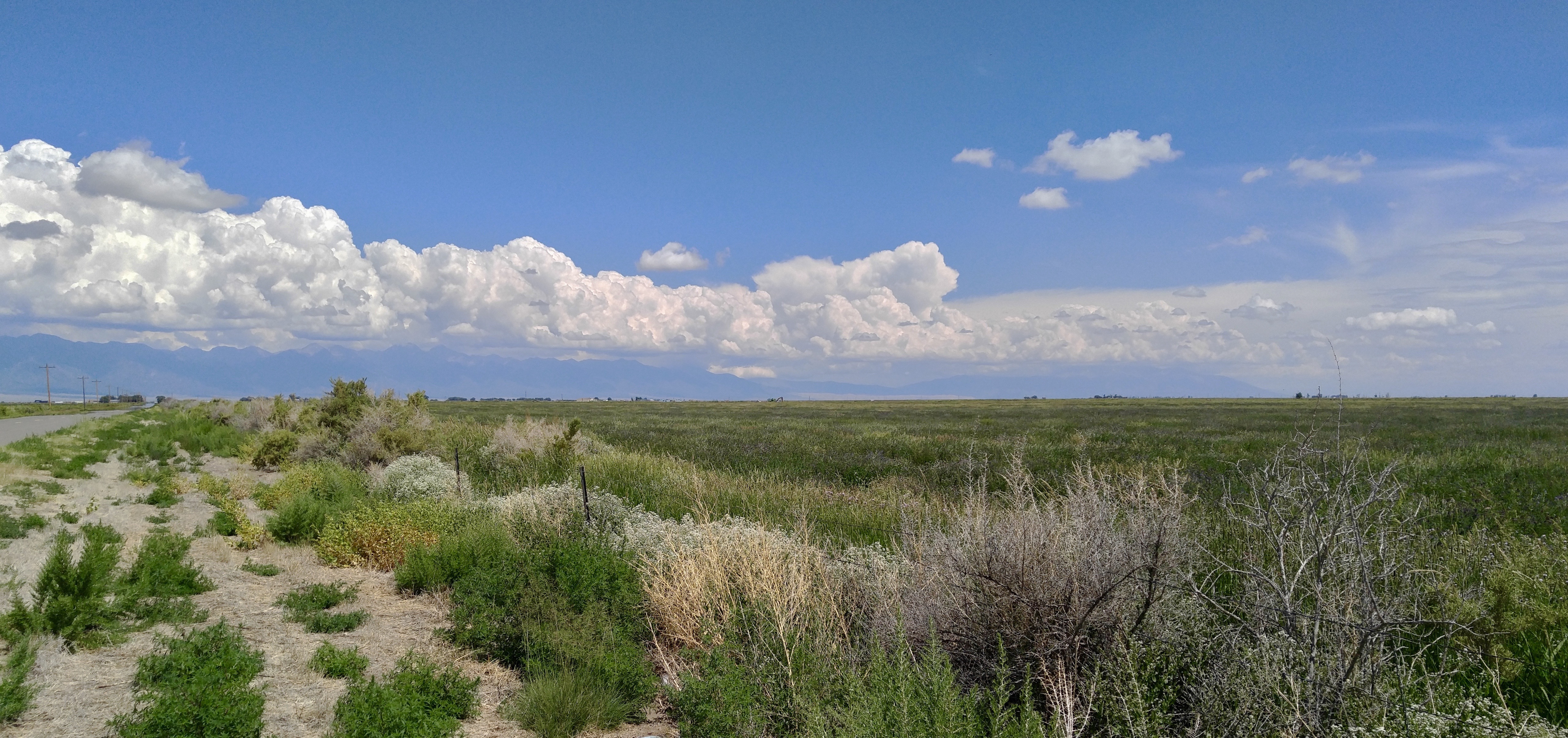
Below The Sangre De Christos

IMG_4354_5_6_HDR_PAINTERLY2
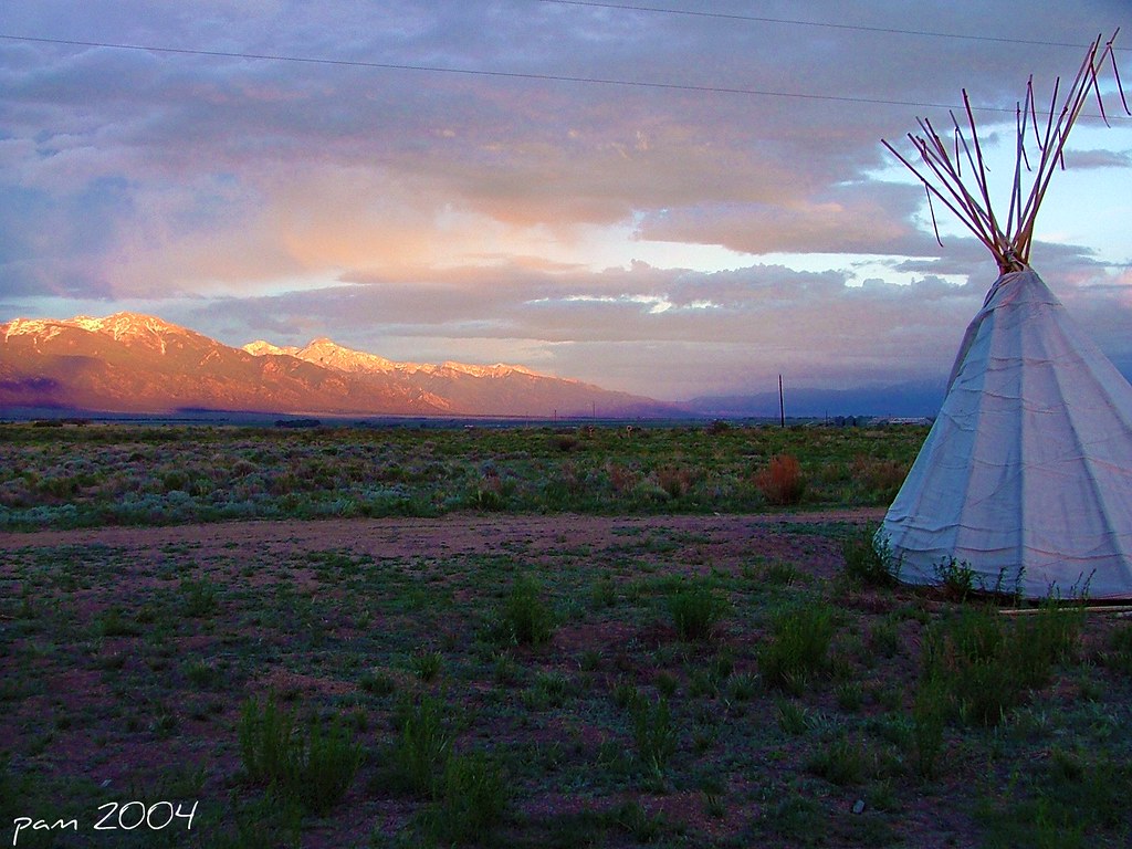
Sunrise & Teepee

Antora Meadows
2018/10/04 21:55:00
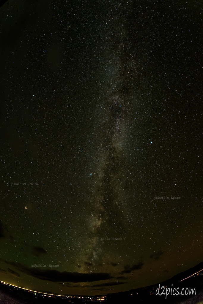
Zodiacal Light
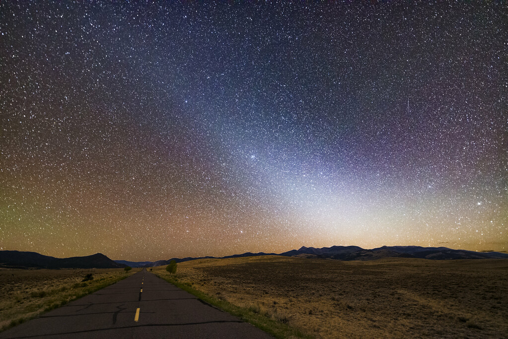
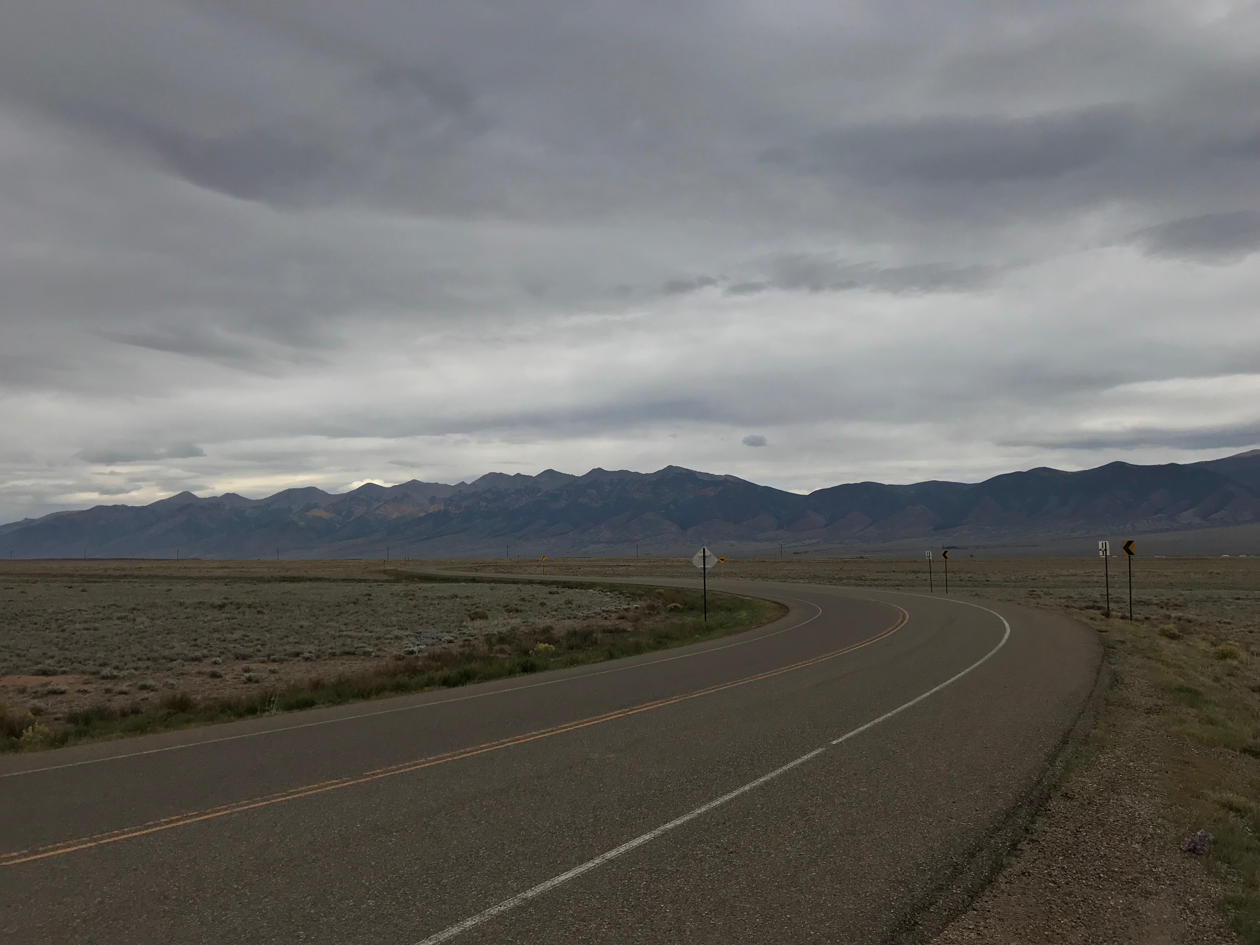
County Road X just east of CR 50
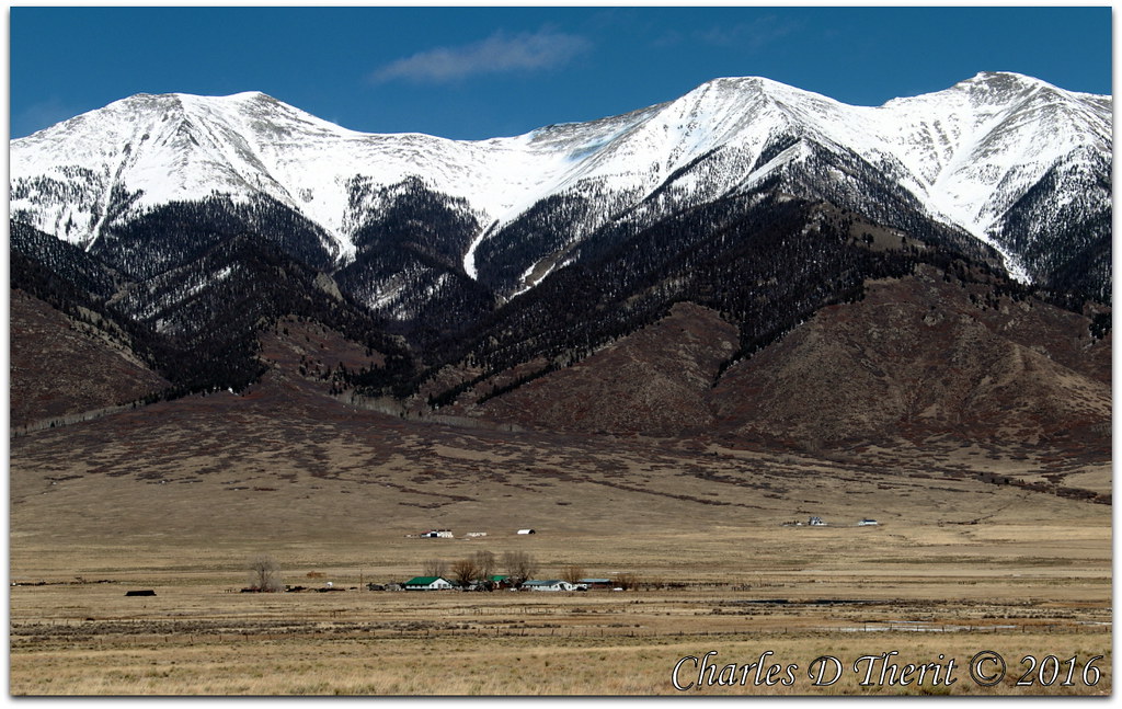
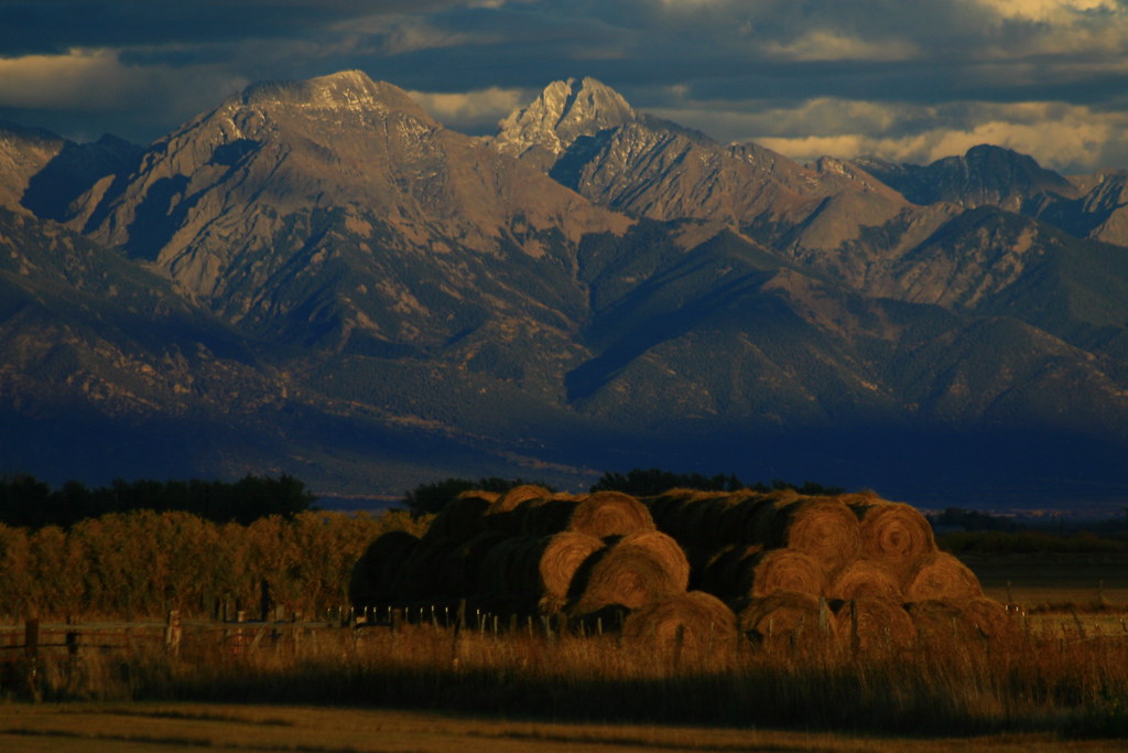
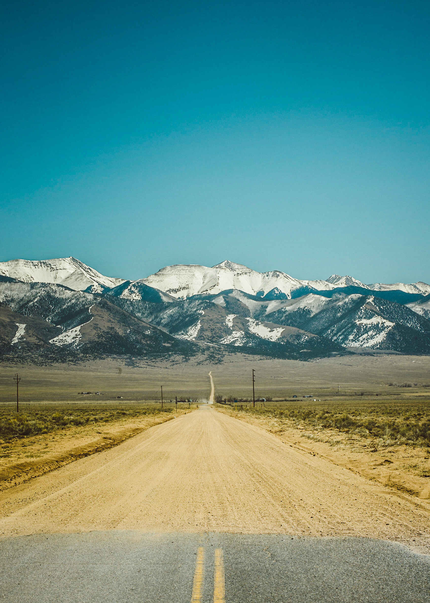
Sangre de Cristo Range
Sangre de Cristo Range from U.S. Route 285 Between Alamosa and Salida, Colorado
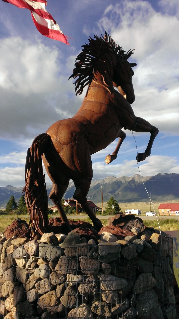
The Brass Horse
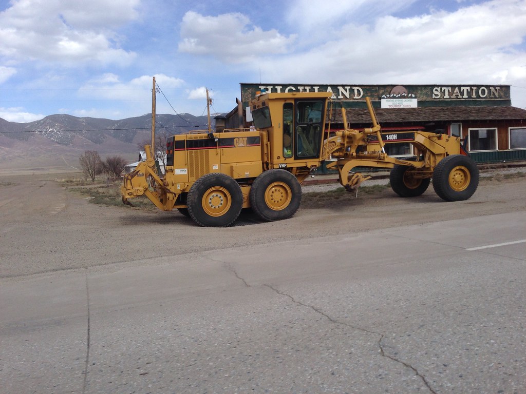
Caterpillar 140H Motor Grader
End of the Road, Beginning of an Adventure
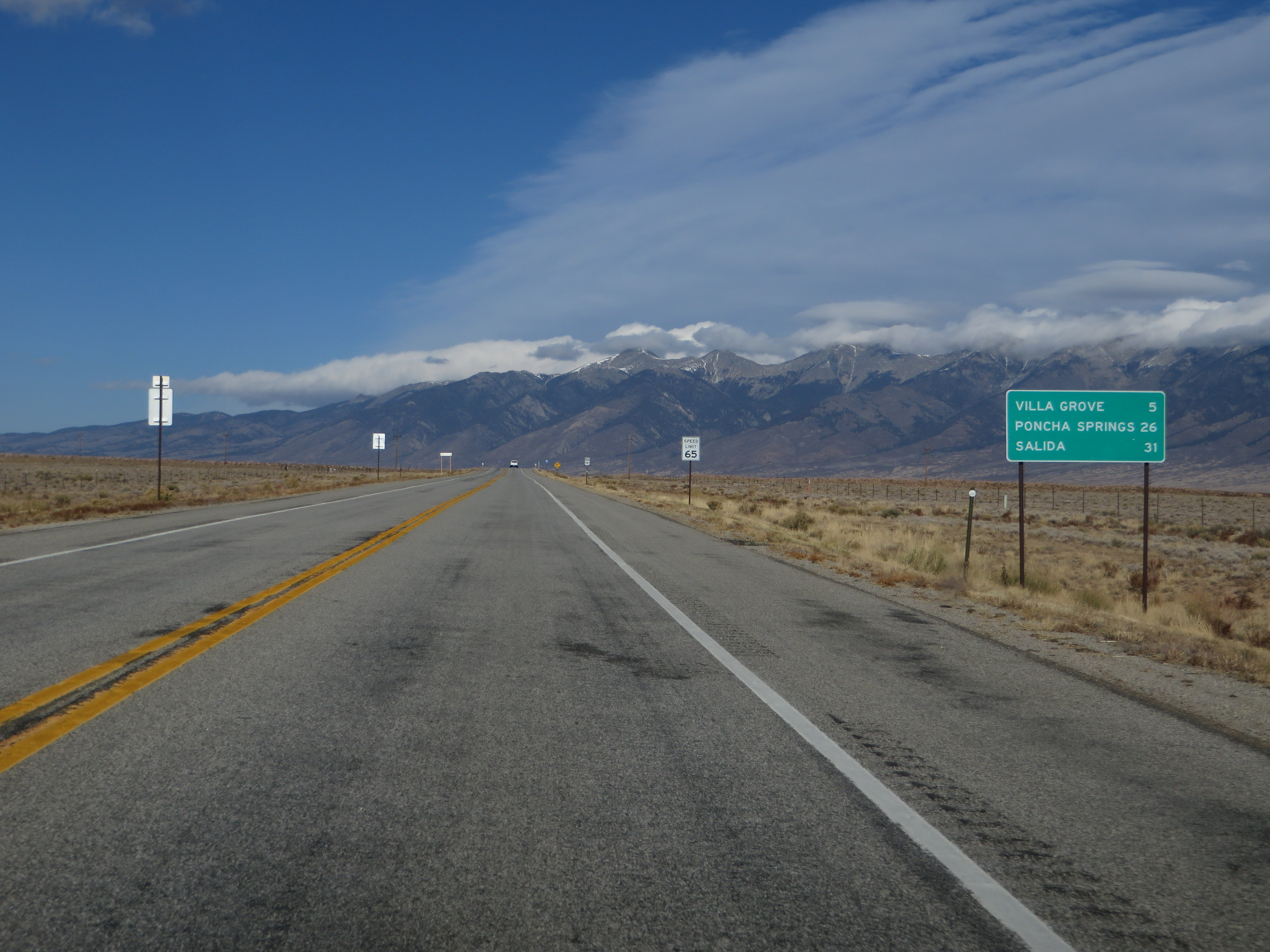
End CO-114 at US-285
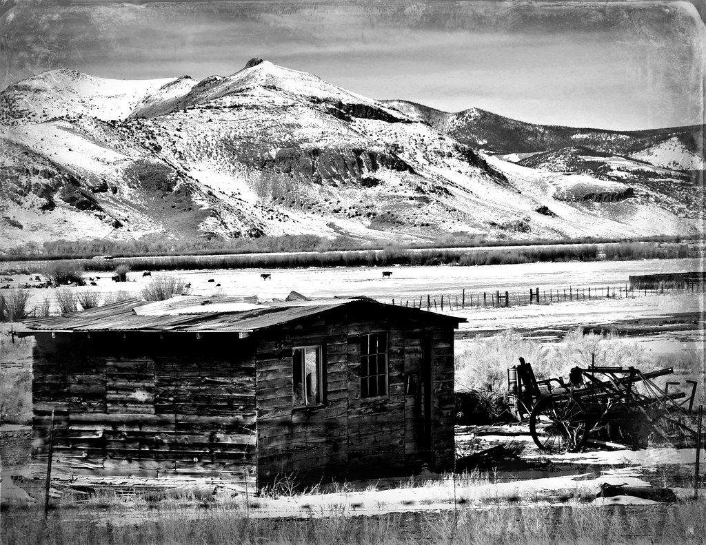
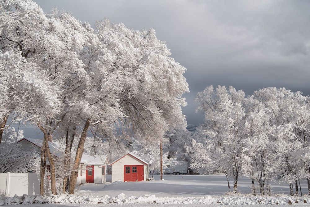
Cabin In Snow
US 2018

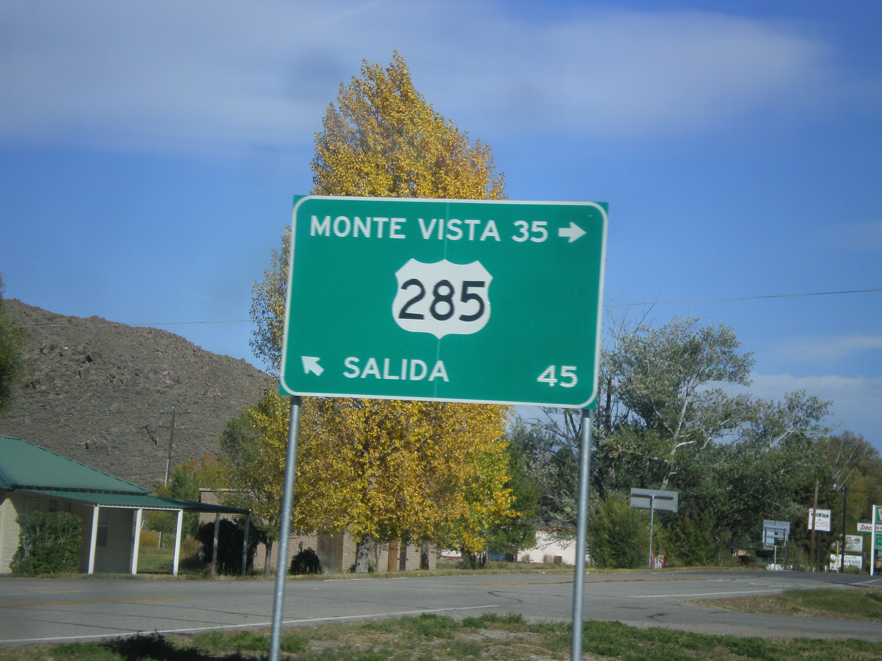
Old Building & Highway Sign for Salida & Denver, CO
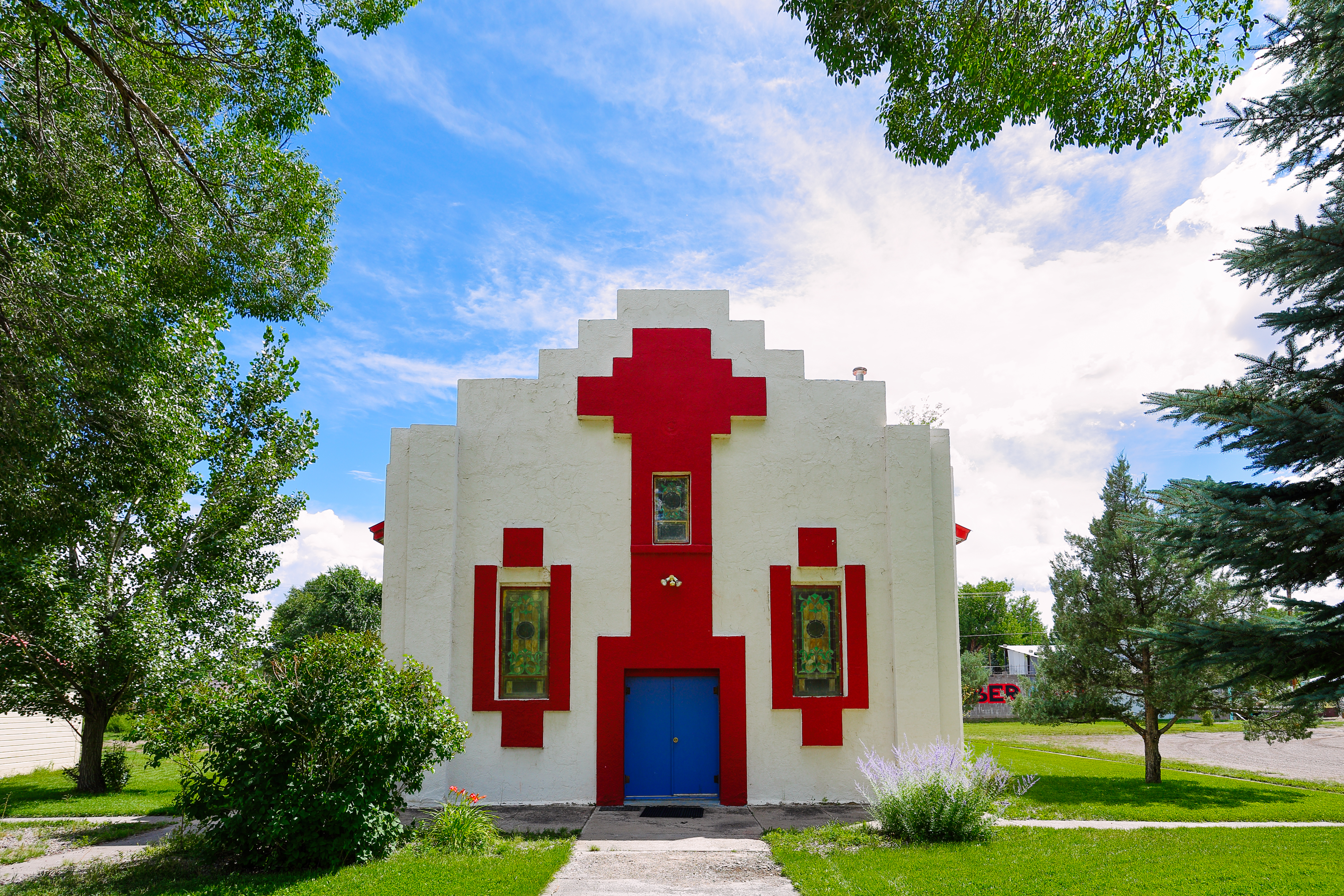
St. Agnes Mission Church - Sagauche, Colorado, 2016
COLORADO ROAD
2017/365/183 Are We There Yet?

Repacking the Truck Bag
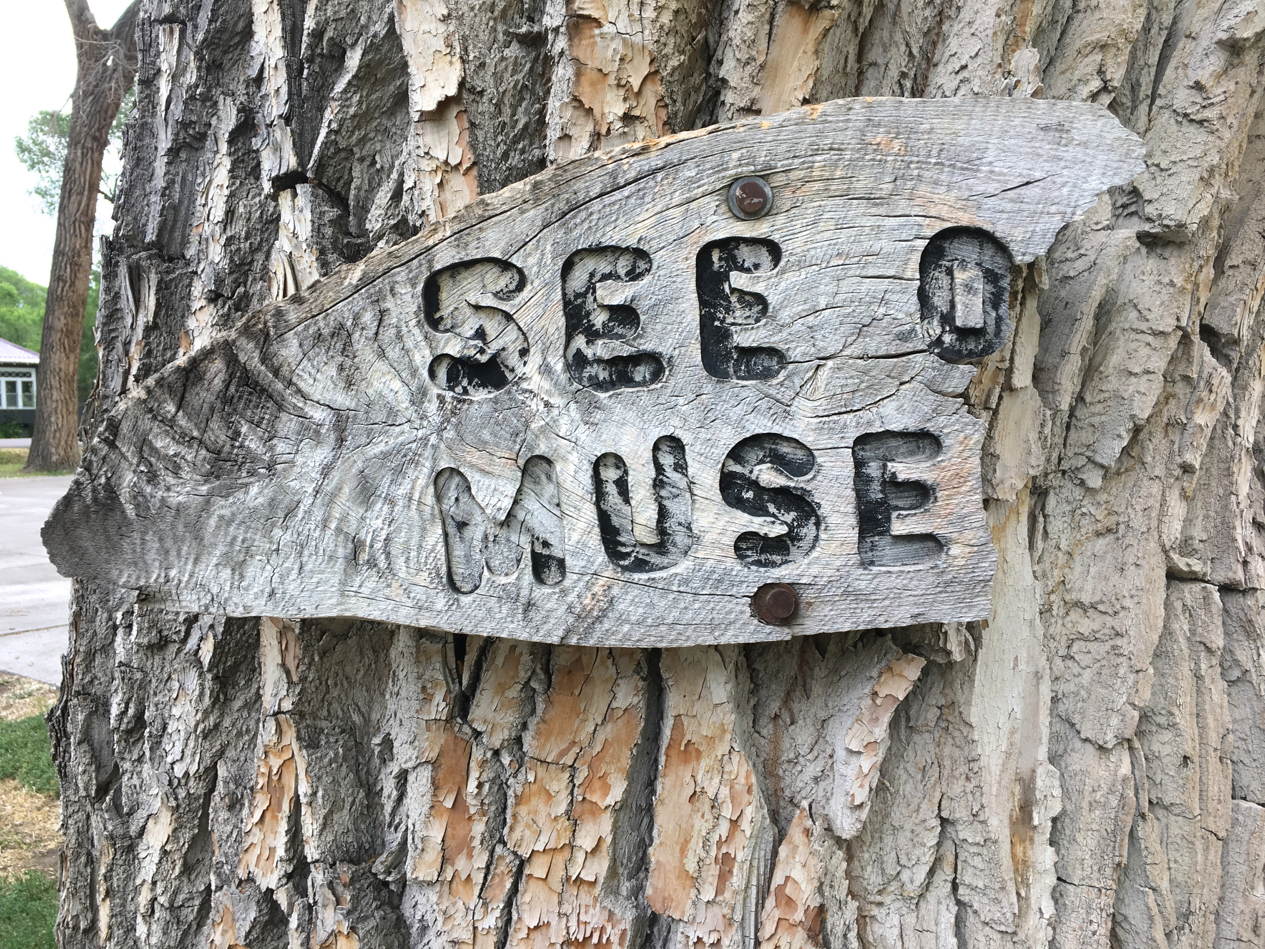
See, O Muse?
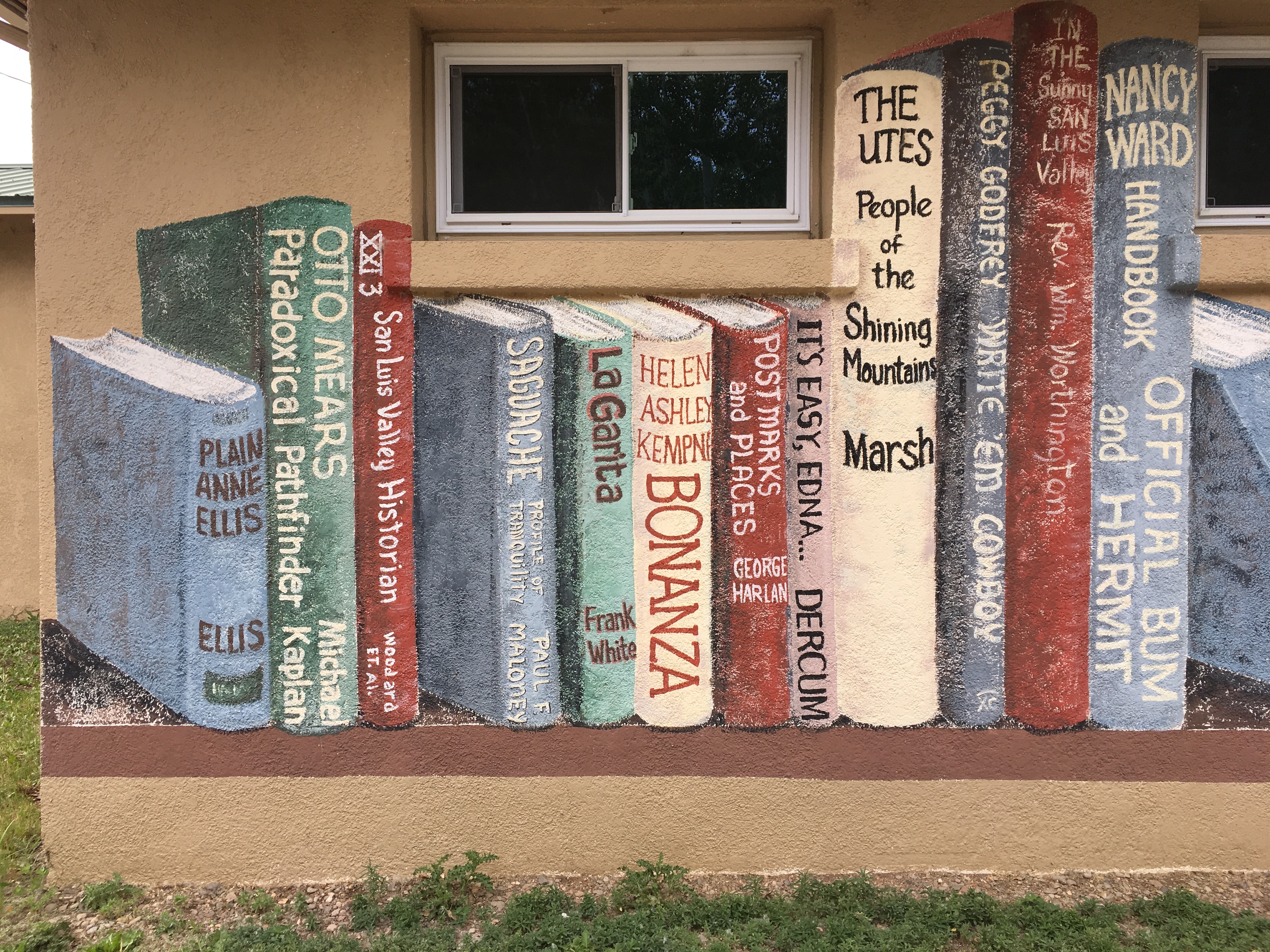
Big Western Books

Hand Sized Hand
IMGP0230-Edit
Mapa de 15 Kerber Creek Sub, Villa Grove, CO, EE. UU.
Buscar otro lugar
Lugares cercanos
Saguache Peak, Colorado, EE. UU.
McIntyre Ridge, Colorado, EE. UU.
Copper Butte, Colorado, EE. UU.
Hayden Peak, Colorado, EE. UU.
Bonita Hill, Colorado, EE. UU.
Saguache, Colorado, EE. UU.
Bonanza, Colorado, EE. UU.
10 Farrington Acres, Villa Grove, CO, EE. UU.
Baxter Mountain, Colorado, EE. UU.
Villa Grove, CO, EE. UU.
Sheep Mountain Northeast, Colorado, EE. UU.
Houghland Hill, Colorado, EE. UU.
Road 44.8, Rd 44.8, Saguache, CO, EE. UU.
Kit Carson Road, Kit Carson Rd, Moffat, CO, EE. UU.
Windy Peak, Colorado, EE. UU.
Hunts Peak, Colorado, EE. UU.
Mears Ln, Salida, CO, EE. UU.
Mount Otto, Mt Otto, Colorado, EE. UU.
Galena Peak, Colorado, EE. UU.
Moffat, Colorado, EE. UU.
Búsquedas recientes
- Horas de salida y puesta de sol de Red Dog Mine, AK, USA
- Horas de salida y puesta de sol de Am Bahnhof, Am bhf, Borken, Germany
- Horas de salida y puesta de sol de 4th St E, Sonoma, CA, EE. UU.
- Horas de salida y puesta de sol de Oakland Ave, Williamsport, PA, EE. UU.
- Horas de salida y puesta de sol de Via Roma, Pieranica CR, Italia
- Horas de salida y puesta de sol de Torre del reloj, Grad, Dubrovnik (Ragusa), Croacia
- Horas de salida y puesta de sol de Trelew, Chubut, Argentina
- Horas de salida y puesta de sol de Hartfords Bluff Cir, Mt Pleasant, SC, EE. UU.
- Horas de salida y puesta de sol de Kita Ward, Kumamoto, Japón
- Horas de salida y puesta de sol de Pingtan Island, Pingtan County, Fuzhou, China