Sunrise Sunset Times of East Wannacut Lane, E Wannacut Ln, Washington, USA
Location: United States > Washington > Okanogan County > Oroville >
Timezone:
America/Los_Angeles
Current Time:
2025-06-24 02:06:54
Longitude:
-119.5113936
Latitude:
48.8751324
Sunrise Today:
04:55:26 AM
Sunset Today:
09:05:55 PM
Daylength Today:
16h 10m 29s
Sunrise Tomorrow:
04:55:50 AM
Sunset Tomorrow:
09:05:56 PM
Daylength Tomorrow:
16h 10m 6s
Year Show All Dates
| Date | Sunrise | Sunset | Daylength |
|---|---|---|---|
| 01/01/2025 | 07:51:17 AM | 04:13:15 PM | 8h 21m 58s |
| 01/02/2025 | 07:51:09 AM | 04:14:18 PM | 8h 23m 9s |
| 01/03/2025 | 07:50:58 AM | 04:15:24 PM | 8h 24m 26s |
| 01/04/2025 | 07:50:43 AM | 04:16:31 PM | 8h 25m 48s |
| 01/05/2025 | 07:50:26 AM | 04:17:41 PM | 8h 27m 15s |
| 01/06/2025 | 07:50:06 AM | 04:18:53 PM | 8h 28m 47s |
| 01/07/2025 | 07:49:43 AM | 04:20:06 PM | 8h 30m 23s |
| 01/08/2025 | 07:49:17 AM | 04:21:22 PM | 8h 32m 5s |
| 01/09/2025 | 07:48:48 AM | 04:22:39 PM | 8h 33m 51s |
| 01/10/2025 | 07:48:16 AM | 04:23:58 PM | 8h 35m 42s |
| 01/11/2025 | 07:47:42 AM | 04:25:18 PM | 8h 37m 36s |
| 01/12/2025 | 07:47:05 AM | 04:26:41 PM | 8h 39m 36s |
| 01/13/2025 | 07:46:24 AM | 04:28:04 PM | 8h 41m 40s |
| 01/14/2025 | 07:45:42 AM | 04:29:29 PM | 8h 43m 47s |
| 01/15/2025 | 07:44:56 AM | 04:30:55 PM | 8h 45m 59s |
| 01/16/2025 | 07:44:08 AM | 04:32:23 PM | 8h 48m 15s |
| 01/17/2025 | 07:43:17 AM | 04:33:52 PM | 8h 50m 35s |
| 01/18/2025 | 07:42:24 AM | 04:35:21 PM | 8h 52m 57s |
| 01/19/2025 | 07:41:28 AM | 04:36:52 PM | 8h 55m 24s |
| 01/20/2025 | 07:40:30 AM | 04:38:24 PM | 8h 57m 54s |
| 01/21/2025 | 07:39:29 AM | 04:39:57 PM | 9h 0m 28s |
| 01/22/2025 | 07:38:26 AM | 04:41:30 PM | 9h 3m 4s |
| 01/23/2025 | 07:37:20 AM | 04:43:04 PM | 9h 5m 44s |
| 01/24/2025 | 07:36:13 AM | 04:44:39 PM | 9h 8m 26s |
| 01/25/2025 | 07:35:03 AM | 04:46:15 PM | 9h 11m 12s |
| 01/26/2025 | 07:33:51 AM | 04:47:51 PM | 9h 14m 0s |
| 01/27/2025 | 07:32:36 AM | 04:49:28 PM | 9h 16m 52s |
| 01/28/2025 | 07:31:20 AM | 04:51:05 PM | 9h 19m 45s |
| 01/29/2025 | 07:30:02 AM | 04:52:42 PM | 9h 22m 40s |
| 01/30/2025 | 07:28:41 AM | 04:54:20 PM | 9h 25m 39s |
| 01/31/2025 | 07:27:19 AM | 04:55:59 PM | 9h 28m 40s |
| 02/01/2025 | 07:25:55 AM | 04:57:37 PM | 9h 31m 42s |
| 02/02/2025 | 07:24:28 AM | 04:59:16 PM | 9h 34m 48s |
| 02/03/2025 | 07:23:01 AM | 05:00:55 PM | 9h 37m 54s |
| 02/04/2025 | 07:21:31 AM | 05:02:34 PM | 9h 41m 3s |
| 02/05/2025 | 07:19:59 AM | 05:04:13 PM | 9h 44m 14s |
| 02/06/2025 | 07:18:26 AM | 05:05:52 PM | 9h 47m 26s |
| 02/07/2025 | 07:16:52 AM | 05:07:32 PM | 9h 50m 40s |
| 02/08/2025 | 07:15:16 AM | 05:09:11 PM | 9h 53m 55s |
| 02/09/2025 | 07:13:38 AM | 05:10:50 PM | 9h 57m 12s |
| 02/10/2025 | 07:11:59 AM | 05:12:29 PM | 10h 0m 30s |
| 02/11/2025 | 07:10:18 AM | 05:14:08 PM | 10h 3m 50s |
| 02/12/2025 | 07:08:36 AM | 05:15:47 PM | 10h 7m 11s |
| 02/13/2025 | 07:06:53 AM | 05:17:26 PM | 10h 10m 33s |
| 02/14/2025 | 07:05:08 AM | 05:19:05 PM | 10h 13m 57s |
| 02/15/2025 | 07:03:22 AM | 05:20:43 PM | 10h 17m 21s |
| 02/16/2025 | 07:01:35 AM | 05:22:22 PM | 10h 20m 47s |
| 02/17/2025 | 06:59:46 AM | 05:24:00 PM | 10h 24m 14s |
| 02/18/2025 | 06:57:57 AM | 05:25:38 PM | 10h 27m 41s |
| 02/19/2025 | 06:56:06 AM | 05:27:15 PM | 10h 31m 9s |
| 02/20/2025 | 06:54:15 AM | 05:28:53 PM | 10h 34m 38s |
| 02/21/2025 | 06:52:22 AM | 05:30:30 PM | 10h 38m 8s |
| 02/22/2025 | 06:50:29 AM | 05:32:07 PM | 10h 41m 38s |
| 02/23/2025 | 06:48:34 AM | 05:33:44 PM | 10h 45m 10s |
| 02/24/2025 | 06:46:39 AM | 05:35:20 PM | 10h 48m 41s |
| 02/25/2025 | 06:44:42 AM | 05:36:56 PM | 10h 52m 14s |
| 02/26/2025 | 06:42:45 AM | 05:38:32 PM | 10h 55m 47s |
| 02/27/2025 | 06:40:48 AM | 05:40:08 PM | 10h 59m 20s |
| 02/28/2025 | 06:38:49 AM | 05:41:43 PM | 11h 2m 54s |
| 03/01/2025 | 06:36:50 AM | 05:43:18 PM | 11h 6m 28s |
| 03/02/2025 | 06:34:50 AM | 05:44:53 PM | 11h 10m 3s |
| 03/03/2025 | 06:32:49 AM | 05:46:27 PM | 11h 13m 38s |
| 03/04/2025 | 06:30:48 AM | 05:48:01 PM | 11h 17m 13s |
| 03/05/2025 | 06:28:46 AM | 05:49:35 PM | 11h 20m 49s |
| 03/06/2025 | 06:26:44 AM | 05:51:09 PM | 11h 24m 25s |
| 03/07/2025 | 06:24:41 AM | 05:52:42 PM | 11h 28m 1s |
| 03/08/2025 | 06:22:37 AM | 05:54:15 PM | 11h 31m 38s |
| 03/09/2025 | 07:20:39 AM | 06:55:44 PM | 11h 35m 5s |
| 03/10/2025 | 07:18:35 AM | 06:57:17 PM | 11h 38m 42s |
| 03/11/2025 | 07:16:30 AM | 06:58:50 PM | 11h 42m 20s |
| 03/12/2025 | 07:14:25 AM | 07:00:22 PM | 11h 45m 57s |
| 03/13/2025 | 07:12:20 AM | 07:01:54 PM | 11h 49m 34s |
| 03/14/2025 | 07:10:15 AM | 07:03:26 PM | 11h 53m 11s |
| 03/15/2025 | 07:08:09 AM | 07:04:57 PM | 11h 56m 48s |
| 03/16/2025 | 07:06:03 AM | 07:06:29 PM | 12h 0m 26s |
| 03/17/2025 | 07:03:57 AM | 07:08:00 PM | 12h 4m 3s |
| 03/18/2025 | 07:01:51 AM | 07:09:31 PM | 12h 7m 40s |
| 03/19/2025 | 06:59:44 AM | 07:11:02 PM | 12h 11m 18s |
| 03/20/2025 | 06:57:38 AM | 07:12:33 PM | 12h 14m 55s |
| 03/21/2025 | 06:55:31 AM | 07:14:03 PM | 12h 18m 32s |
| 03/22/2025 | 06:53:25 AM | 07:15:34 PM | 12h 22m 9s |
| 03/23/2025 | 06:51:18 AM | 07:17:04 PM | 12h 25m 46s |
| 03/24/2025 | 06:49:12 AM | 07:18:35 PM | 12h 29m 23s |
| 03/25/2025 | 06:47:05 AM | 07:20:05 PM | 12h 33m 0s |
| 03/26/2025 | 06:44:59 AM | 07:21:35 PM | 12h 36m 36s |
| 03/27/2025 | 06:42:53 AM | 07:23:05 PM | 12h 40m 12s |
| 03/28/2025 | 06:40:47 AM | 07:24:35 PM | 12h 43m 48s |
| 03/29/2025 | 06:38:41 AM | 07:26:05 PM | 12h 47m 24s |
| 03/30/2025 | 06:36:35 AM | 07:27:35 PM | 12h 51m 0s |
| 03/31/2025 | 06:34:30 AM | 07:29:04 PM | 12h 54m 34s |
| 04/01/2025 | 06:32:25 AM | 07:30:34 PM | 12h 58m 9s |
| 04/02/2025 | 06:30:20 AM | 07:32:04 PM | 13h 1m 44s |
| 04/03/2025 | 06:28:16 AM | 07:33:33 PM | 13h 5m 17s |
| 04/04/2025 | 06:26:12 AM | 07:35:03 PM | 13h 8m 51s |
| 04/05/2025 | 06:24:08 AM | 07:36:33 PM | 13h 12m 25s |
| 04/06/2025 | 06:22:05 AM | 07:38:02 PM | 13h 15m 57s |
| 04/07/2025 | 06:20:02 AM | 07:39:32 PM | 13h 19m 30s |
| 04/08/2025 | 06:18:00 AM | 07:41:01 PM | 13h 23m 1s |
| 04/09/2025 | 06:15:58 AM | 07:42:31 PM | 13h 26m 33s |
| 04/10/2025 | 06:13:57 AM | 07:44:01 PM | 13h 30m 4s |
| 04/11/2025 | 06:11:57 AM | 07:45:30 PM | 13h 33m 33s |
| 04/12/2025 | 06:09:57 AM | 07:47:00 PM | 13h 37m 3s |
| 04/13/2025 | 06:07:58 AM | 07:48:29 PM | 13h 40m 31s |
| 04/14/2025 | 06:06:00 AM | 07:49:59 PM | 13h 43m 59s |
| 04/15/2025 | 06:04:02 AM | 07:51:28 PM | 13h 47m 26s |
| 04/16/2025 | 06:02:05 AM | 07:52:58 PM | 13h 50m 53s |
| 04/17/2025 | 06:00:09 AM | 07:54:27 PM | 13h 54m 18s |
| 04/18/2025 | 05:58:14 AM | 07:55:56 PM | 13h 57m 42s |
| 04/19/2025 | 05:56:19 AM | 07:57:26 PM | 14h 1m 7s |
| 04/20/2025 | 05:54:26 AM | 07:58:55 PM | 14h 4m 29s |
| 04/21/2025 | 05:52:33 AM | 08:00:24 PM | 14h 7m 51s |
| 04/22/2025 | 05:50:42 AM | 08:01:53 PM | 14h 11m 11s |
| 04/23/2025 | 05:48:52 AM | 08:03:22 PM | 14h 14m 30s |
| 04/24/2025 | 05:47:02 AM | 08:04:51 PM | 14h 17m 49s |
| 04/25/2025 | 05:45:14 AM | 08:06:20 PM | 14h 21m 6s |
| 04/26/2025 | 05:43:27 AM | 08:07:48 PM | 14h 24m 21s |
| 04/27/2025 | 05:41:41 AM | 08:09:17 PM | 14h 27m 36s |
| 04/28/2025 | 05:39:57 AM | 08:10:45 PM | 14h 30m 48s |
| 04/29/2025 | 05:38:13 AM | 08:12:13 PM | 14h 34m 0s |
| 04/30/2025 | 05:36:31 AM | 08:13:41 PM | 14h 37m 10s |
| 05/01/2025 | 05:34:51 AM | 08:15:08 PM | 14h 40m 17s |
| 05/02/2025 | 05:33:11 AM | 08:16:35 PM | 14h 43m 24s |
| 05/03/2025 | 05:31:33 AM | 08:18:02 PM | 14h 46m 29s |
| 05/04/2025 | 05:29:57 AM | 08:19:28 PM | 14h 49m 31s |
| 05/05/2025 | 05:28:22 AM | 08:20:55 PM | 14h 52m 33s |
| 05/06/2025 | 05:26:49 AM | 08:22:20 PM | 14h 55m 31s |
| 05/07/2025 | 05:25:17 AM | 08:23:45 PM | 14h 58m 28s |
| 05/08/2025 | 05:23:47 AM | 08:25:10 PM | 15h 1m 23s |
| 05/09/2025 | 05:22:19 AM | 08:26:34 PM | 15h 4m 15s |
| 05/10/2025 | 05:20:53 AM | 08:27:57 PM | 15h 7m 4s |
| 05/11/2025 | 05:19:28 AM | 08:29:20 PM | 15h 9m 52s |
| 05/12/2025 | 05:18:05 AM | 08:30:42 PM | 15h 12m 37s |
| 05/13/2025 | 05:16:44 AM | 08:32:04 PM | 15h 15m 20s |
| 05/14/2025 | 05:15:25 AM | 08:33:24 PM | 15h 17m 59s |
| 05/15/2025 | 05:14:07 AM | 08:34:44 PM | 15h 20m 37s |
| 05/16/2025 | 05:12:52 AM | 08:36:03 PM | 15h 23m 11s |
| 05/17/2025 | 05:11:39 AM | 08:37:21 PM | 15h 25m 42s |
| 05/18/2025 | 05:10:28 AM | 08:38:38 PM | 15h 28m 10s |
| 05/19/2025 | 05:09:19 AM | 08:39:54 PM | 15h 30m 35s |
| 05/20/2025 | 05:08:12 AM | 08:41:09 PM | 15h 32m 57s |
| 05/21/2025 | 05:07:08 AM | 08:42:23 PM | 15h 35m 15s |
| 05/22/2025 | 05:06:05 AM | 08:43:35 PM | 15h 37m 30s |
| 05/23/2025 | 05:05:05 AM | 08:44:47 PM | 15h 39m 42s |
| 05/24/2025 | 05:04:08 AM | 08:45:56 PM | 15h 41m 48s |
| 05/25/2025 | 05:03:12 AM | 08:47:05 PM | 15h 43m 53s |
| 05/26/2025 | 05:02:19 AM | 08:48:12 PM | 15h 45m 53s |
| 05/27/2025 | 05:01:29 AM | 08:49:18 PM | 15h 47m 49s |
| 05/28/2025 | 05:00:41 AM | 08:50:22 PM | 15h 49m 41s |
| 05/29/2025 | 04:59:55 AM | 08:51:24 PM | 15h 51m 29s |
| 05/30/2025 | 04:59:12 AM | 08:52:25 PM | 15h 53m 13s |
| 05/31/2025 | 04:58:31 AM | 08:53:24 PM | 15h 54m 53s |
| 06/01/2025 | 04:57:53 AM | 08:54:21 PM | 15h 56m 28s |
| 06/02/2025 | 04:57:18 AM | 08:55:16 PM | 15h 57m 58s |
| 06/03/2025 | 04:56:45 AM | 08:56:09 PM | 15h 59m 24s |
| 06/04/2025 | 04:56:15 AM | 08:57:01 PM | 16h 0m 46s |
| 06/05/2025 | 04:55:48 AM | 08:57:50 PM | 16h 2m 2s |
| 06/06/2025 | 04:55:23 AM | 08:58:37 PM | 16h 3m 14s |
| 06/07/2025 | 04:55:01 AM | 08:59:22 PM | 16h 4m 21s |
| 06/08/2025 | 04:54:42 AM | 09:00:05 PM | 16h 5m 23s |
| 06/09/2025 | 04:54:25 AM | 09:00:46 PM | 16h 6m 21s |
| 06/10/2025 | 04:54:11 AM | 09:01:24 PM | 16h 7m 13s |
| 06/11/2025 | 04:54:00 AM | 09:02:00 PM | 16h 8m 0s |
| 06/12/2025 | 04:53:52 AM | 09:02:34 PM | 16h 8m 42s |
| 06/13/2025 | 04:53:46 AM | 09:03:05 PM | 16h 9m 19s |
| 06/14/2025 | 04:53:43 AM | 09:03:33 PM | 16h 9m 50s |
| 06/15/2025 | 04:53:43 AM | 09:04:00 PM | 16h 10m 17s |
| 06/16/2025 | 04:53:46 AM | 09:04:23 PM | 16h 10m 37s |
| 06/17/2025 | 04:53:51 AM | 09:04:44 PM | 16h 10m 53s |
| 06/18/2025 | 04:53:59 AM | 09:05:02 PM | 16h 11m 3s |
| 06/19/2025 | 04:54:09 AM | 09:05:18 PM | 16h 11m 9s |
| 06/20/2025 | 04:54:22 AM | 09:05:31 PM | 16h 11m 9s |
| 06/21/2025 | 04:54:38 AM | 09:05:41 PM | 16h 11m 3s |
| 06/22/2025 | 04:54:56 AM | 09:05:49 PM | 16h 10m 53s |
| 06/23/2025 | 04:55:17 AM | 09:05:54 PM | 16h 10m 37s |
| 06/24/2025 | 04:55:40 AM | 09:05:56 PM | 16h 10m 16s |
| 06/25/2025 | 04:56:06 AM | 09:05:55 PM | 16h 9m 49s |
| 06/26/2025 | 04:56:35 AM | 09:05:52 PM | 16h 9m 17s |
| 06/27/2025 | 04:57:05 AM | 09:05:46 PM | 16h 8m 41s |
| 06/28/2025 | 04:57:38 AM | 09:05:37 PM | 16h 7m 59s |
| 06/29/2025 | 04:58:14 AM | 09:05:25 PM | 16h 7m 11s |
| 06/30/2025 | 04:58:52 AM | 09:05:10 PM | 16h 6m 18s |
| 07/01/2025 | 04:59:31 AM | 09:04:53 PM | 16h 5m 22s |
| 07/02/2025 | 05:00:13 AM | 09:04:33 PM | 16h 4m 20s |
| 07/03/2025 | 05:00:58 AM | 09:04:10 PM | 16h 3m 12s |
| 07/04/2025 | 05:01:44 AM | 09:03:45 PM | 16h 2m 1s |
| 07/05/2025 | 05:02:32 AM | 09:03:16 PM | 16h 0m 44s |
| 07/06/2025 | 05:03:22 AM | 09:02:45 PM | 15h 59m 23s |
| 07/07/2025 | 05:04:14 AM | 09:02:12 PM | 15h 57m 58s |
| 07/08/2025 | 05:05:08 AM | 09:01:36 PM | 15h 56m 28s |
| 07/09/2025 | 05:06:04 AM | 09:00:57 PM | 15h 54m 53s |
| 07/10/2025 | 05:07:02 AM | 09:00:15 PM | 15h 53m 13s |
| 07/11/2025 | 05:08:01 AM | 08:59:31 PM | 15h 51m 30s |
| 07/12/2025 | 05:09:01 AM | 08:58:44 PM | 15h 49m 43s |
| 07/13/2025 | 05:10:04 AM | 08:57:55 PM | 15h 47m 51s |
| 07/14/2025 | 05:11:07 AM | 08:57:04 PM | 15h 45m 57s |
| 07/15/2025 | 05:12:12 AM | 08:56:10 PM | 15h 43m 58s |
| 07/16/2025 | 05:13:19 AM | 08:55:13 PM | 15h 41m 54s |
| 07/17/2025 | 05:14:27 AM | 08:54:14 PM | 15h 39m 47s |
| 07/18/2025 | 05:15:36 AM | 08:53:13 PM | 15h 37m 37s |
| 07/19/2025 | 05:16:46 AM | 08:52:10 PM | 15h 35m 24s |
| 07/20/2025 | 05:17:57 AM | 08:51:04 PM | 15h 33m 7s |
| 07/21/2025 | 05:19:10 AM | 08:49:56 PM | 15h 30m 46s |
| 07/22/2025 | 05:20:23 AM | 08:48:46 PM | 15h 28m 23s |
| 07/23/2025 | 05:21:37 AM | 08:47:34 PM | 15h 25m 57s |
| 07/24/2025 | 05:22:53 AM | 08:46:19 PM | 15h 23m 26s |
| 07/25/2025 | 05:24:09 AM | 08:45:03 PM | 15h 20m 54s |
| 07/26/2025 | 05:25:26 AM | 08:43:45 PM | 15h 18m 19s |
| 07/27/2025 | 05:26:43 AM | 08:42:24 PM | 15h 15m 41s |
| 07/28/2025 | 05:28:02 AM | 08:41:02 PM | 15h 13m 0s |
| 07/29/2025 | 05:29:21 AM | 08:39:38 PM | 15h 10m 17s |
| 07/30/2025 | 05:30:41 AM | 08:38:12 PM | 15h 7m 31s |
| 07/31/2025 | 05:32:01 AM | 08:36:44 PM | 15h 4m 43s |
| 08/01/2025 | 05:33:21 AM | 08:35:15 PM | 15h 1m 54s |
| 08/02/2025 | 05:34:43 AM | 08:33:44 PM | 14h 59m 1s |
| 08/03/2025 | 05:36:04 AM | 08:32:11 PM | 14h 56m 7s |
| 08/04/2025 | 05:37:27 AM | 08:30:36 PM | 14h 53m 9s |
| 08/05/2025 | 05:38:49 AM | 08:29:00 PM | 14h 50m 11s |
| 08/06/2025 | 05:40:12 AM | 08:27:23 PM | 14h 47m 11s |
| 08/07/2025 | 05:41:35 AM | 08:25:44 PM | 14h 44m 9s |
| 08/08/2025 | 05:42:58 AM | 08:24:03 PM | 14h 41m 5s |
| 08/09/2025 | 05:44:22 AM | 08:22:21 PM | 14h 37m 59s |
| 08/10/2025 | 05:45:46 AM | 08:20:38 PM | 14h 34m 52s |
| 08/11/2025 | 05:47:10 AM | 08:18:54 PM | 14h 31m 44s |
| 08/12/2025 | 05:48:34 AM | 08:17:08 PM | 14h 28m 34s |
| 08/13/2025 | 05:49:59 AM | 08:15:21 PM | 14h 25m 22s |
| 08/14/2025 | 05:51:23 AM | 08:13:32 PM | 14h 22m 9s |
| 08/15/2025 | 05:52:48 AM | 08:11:43 PM | 14h 18m 55s |
| 08/16/2025 | 05:54:12 AM | 08:09:52 PM | 14h 15m 40s |
| 08/17/2025 | 05:55:37 AM | 08:08:01 PM | 14h 12m 24s |
| 08/18/2025 | 05:57:02 AM | 08:06:08 PM | 14h 9m 6s |
| 08/19/2025 | 05:58:27 AM | 08:04:14 PM | 14h 5m 47s |
| 08/20/2025 | 05:59:52 AM | 08:02:20 PM | 14h 2m 28s |
| 08/21/2025 | 06:01:17 AM | 08:00:24 PM | 13h 59m 7s |
| 08/22/2025 | 06:02:42 AM | 07:58:28 PM | 13h 55m 46s |
| 08/23/2025 | 06:04:07 AM | 07:56:30 PM | 13h 52m 23s |
| 08/24/2025 | 06:05:32 AM | 07:54:32 PM | 13h 49m 0s |
| 08/25/2025 | 06:06:57 AM | 07:52:33 PM | 13h 45m 36s |
| 08/26/2025 | 06:08:22 AM | 07:50:33 PM | 13h 42m 11s |
| 08/27/2025 | 06:09:47 AM | 07:48:33 PM | 13h 38m 46s |
| 08/28/2025 | 06:11:12 AM | 07:46:32 PM | 13h 35m 20s |
| 08/29/2025 | 06:12:37 AM | 07:44:30 PM | 13h 31m 53s |
| 08/30/2025 | 06:14:01 AM | 07:42:28 PM | 13h 28m 27s |
| 08/31/2025 | 06:15:26 AM | 07:40:25 PM | 13h 24m 59s |
| 09/01/2025 | 06:16:51 AM | 07:38:21 PM | 13h 21m 30s |
| 09/02/2025 | 06:18:16 AM | 07:36:17 PM | 13h 18m 1s |
| 09/03/2025 | 06:19:41 AM | 07:34:12 PM | 13h 14m 31s |
| 09/04/2025 | 06:21:06 AM | 07:32:07 PM | 13h 11m 1s |
| 09/05/2025 | 06:22:30 AM | 07:30:02 PM | 13h 7m 32s |
| 09/06/2025 | 06:23:55 AM | 07:27:56 PM | 13h 4m 1s |
| 09/07/2025 | 06:25:20 AM | 07:25:50 PM | 13h 0m 30s |
| 09/08/2025 | 06:26:45 AM | 07:23:43 PM | 12h 56m 58s |
| 09/09/2025 | 06:28:10 AM | 07:21:37 PM | 12h 53m 27s |
| 09/10/2025 | 06:29:35 AM | 07:19:29 PM | 12h 49m 54s |
| 09/11/2025 | 06:30:59 AM | 07:17:22 PM | 12h 46m 23s |
| 09/12/2025 | 06:32:24 AM | 07:15:14 PM | 12h 42m 50s |
| 09/13/2025 | 06:33:49 AM | 07:13:07 PM | 12h 39m 18s |
| 09/14/2025 | 06:35:14 AM | 07:10:59 PM | 12h 35m 45s |
| 09/15/2025 | 06:36:40 AM | 07:08:51 PM | 12h 32m 11s |
| 09/16/2025 | 06:38:05 AM | 07:06:43 PM | 12h 28m 38s |
| 09/17/2025 | 06:39:30 AM | 07:04:34 PM | 12h 25m 4s |
| 09/18/2025 | 06:40:56 AM | 07:02:26 PM | 12h 21m 30s |
| 09/19/2025 | 06:42:21 AM | 07:00:18 PM | 12h 17m 57s |
| 09/20/2025 | 06:43:47 AM | 06:58:10 PM | 12h 14m 23s |
| 09/21/2025 | 06:45:12 AM | 06:56:02 PM | 12h 10m 50s |
| 09/22/2025 | 06:46:38 AM | 06:53:54 PM | 12h 7m 16s |
| 09/23/2025 | 06:48:04 AM | 06:51:46 PM | 12h 3m 42s |
| 09/24/2025 | 06:49:31 AM | 06:49:38 PM | 12h 0m 7s |
| 09/25/2025 | 06:50:57 AM | 06:47:30 PM | 11h 56m 33s |
| 09/26/2025 | 06:52:24 AM | 06:45:23 PM | 11h 52m 59s |
| 09/27/2025 | 06:53:51 AM | 06:43:16 PM | 11h 49m 25s |
| 09/28/2025 | 06:55:18 AM | 06:41:09 PM | 11h 45m 51s |
| 09/29/2025 | 06:56:45 AM | 06:39:03 PM | 11h 42m 18s |
| 09/30/2025 | 06:58:12 AM | 06:36:56 PM | 11h 38m 44s |
| 10/01/2025 | 06:59:40 AM | 06:34:50 PM | 11h 35m 10s |
| 10/02/2025 | 07:01:08 AM | 06:32:45 PM | 11h 31m 37s |
| 10/03/2025 | 07:02:36 AM | 06:30:40 PM | 11h 28m 4s |
| 10/04/2025 | 07:04:05 AM | 06:28:35 PM | 11h 24m 30s |
| 10/05/2025 | 07:05:33 AM | 06:26:31 PM | 11h 20m 58s |
| 10/06/2025 | 07:07:02 AM | 06:24:28 PM | 11h 17m 26s |
| 10/07/2025 | 07:08:32 AM | 06:22:25 PM | 11h 13m 53s |
| 10/08/2025 | 07:10:01 AM | 06:20:22 PM | 11h 10m 21s |
| 10/09/2025 | 07:11:31 AM | 06:18:21 PM | 11h 6m 50s |
| 10/10/2025 | 07:13:01 AM | 06:16:20 PM | 11h 3m 19s |
| 10/11/2025 | 07:14:32 AM | 06:14:19 PM | 10h 59m 47s |
| 10/12/2025 | 07:16:02 AM | 06:12:19 PM | 10h 56m 17s |
| 10/13/2025 | 07:17:33 AM | 06:10:21 PM | 10h 52m 48s |
| 10/14/2025 | 07:19:05 AM | 06:08:22 PM | 10h 49m 17s |
| 10/15/2025 | 07:20:36 AM | 06:06:25 PM | 10h 45m 49s |
| 10/16/2025 | 07:22:08 AM | 06:04:29 PM | 10h 42m 21s |
| 10/17/2025 | 07:23:41 AM | 06:02:33 PM | 10h 38m 52s |
| 10/18/2025 | 07:25:13 AM | 06:00:39 PM | 10h 35m 26s |
| 10/19/2025 | 07:26:46 AM | 05:58:45 PM | 10h 31m 59s |
| 10/20/2025 | 07:28:19 AM | 05:56:53 PM | 10h 28m 34s |
| 10/21/2025 | 07:29:53 AM | 05:55:01 PM | 10h 25m 8s |
| 10/22/2025 | 07:31:26 AM | 05:53:11 PM | 10h 21m 45s |
| 10/23/2025 | 07:33:00 AM | 05:51:22 PM | 10h 18m 22s |
| 10/24/2025 | 07:34:34 AM | 05:49:34 PM | 10h 15m 0s |
| 10/25/2025 | 07:36:09 AM | 05:47:47 PM | 10h 11m 38s |
| 10/26/2025 | 07:37:43 AM | 05:46:02 PM | 10h 8m 19s |
| 10/27/2025 | 07:39:18 AM | 05:44:17 PM | 10h 4m 59s |
| 10/28/2025 | 07:40:53 AM | 05:42:35 PM | 10h 1m 42s |
| 10/29/2025 | 07:42:28 AM | 05:40:53 PM | 9h 58m 25s |
| 10/30/2025 | 07:44:03 AM | 05:39:13 PM | 9h 55m 10s |
| 10/31/2025 | 07:45:38 AM | 05:37:35 PM | 9h 51m 57s |
| 11/01/2025 | 07:47:14 AM | 05:35:58 PM | 9h 48m 44s |
| 11/02/2025 | 06:48:53 AM | 04:34:19 PM | 9h 45m 26s |
| 11/03/2025 | 06:50:28 AM | 04:32:45 PM | 9h 42m 17s |
| 11/04/2025 | 06:52:04 AM | 04:31:13 PM | 9h 39m 9s |
| 11/05/2025 | 06:53:39 AM | 04:29:43 PM | 9h 36m 4s |
| 11/06/2025 | 06:55:14 AM | 04:28:14 PM | 9h 33m 0s |
| 11/07/2025 | 06:56:49 AM | 04:26:48 PM | 9h 29m 59s |
| 11/08/2025 | 06:58:24 AM | 04:25:23 PM | 9h 26m 59s |
| 11/09/2025 | 06:59:59 AM | 04:24:00 PM | 9h 24m 1s |
| 11/10/2025 | 07:01:33 AM | 04:22:39 PM | 9h 21m 6s |
| 11/11/2025 | 07:03:08 AM | 04:21:20 PM | 9h 18m 12s |
| 11/12/2025 | 07:04:41 AM | 04:20:03 PM | 9h 15m 22s |
| 11/13/2025 | 07:06:15 AM | 04:18:49 PM | 9h 12m 34s |
| 11/14/2025 | 07:07:47 AM | 04:17:36 PM | 9h 9m 49s |
| 11/15/2025 | 07:09:20 AM | 04:16:26 PM | 9h 7m 6s |
| 11/16/2025 | 07:10:51 AM | 04:15:18 PM | 9h 4m 27s |
| 11/17/2025 | 07:12:23 AM | 04:14:12 PM | 9h 1m 49s |
| 11/18/2025 | 07:13:53 AM | 04:13:08 PM | 8h 59m 15s |
| 11/19/2025 | 07:15:23 AM | 04:12:07 PM | 8h 56m 44s |
| 11/20/2025 | 07:16:51 AM | 04:11:09 PM | 8h 54m 18s |
| 11/21/2025 | 07:18:19 AM | 04:10:13 PM | 8h 51m 54s |
| 11/22/2025 | 07:19:46 AM | 04:09:19 PM | 8h 49m 33s |
| 11/23/2025 | 07:21:12 AM | 04:08:28 PM | 8h 47m 16s |
| 11/24/2025 | 07:22:37 AM | 04:07:40 PM | 8h 45m 3s |
| 11/25/2025 | 07:24:00 AM | 04:06:54 PM | 8h 42m 54s |
| 11/26/2025 | 07:25:23 AM | 04:06:11 PM | 8h 40m 48s |
| 11/27/2025 | 07:26:44 AM | 04:05:31 PM | 8h 38m 47s |
| 11/28/2025 | 07:28:03 AM | 04:04:54 PM | 8h 36m 51s |
| 11/29/2025 | 07:29:21 AM | 04:04:19 PM | 8h 34m 58s |
| 11/30/2025 | 07:30:38 AM | 04:03:47 PM | 8h 33m 9s |
| 12/01/2025 | 07:31:53 AM | 04:03:19 PM | 8h 31m 26s |
| 12/02/2025 | 07:33:06 AM | 04:02:53 PM | 8h 29m 47s |
| 12/03/2025 | 07:34:18 AM | 04:02:30 PM | 8h 28m 12s |
| 12/04/2025 | 07:35:27 AM | 04:02:10 PM | 8h 26m 43s |
| 12/05/2025 | 07:36:35 AM | 04:01:53 PM | 8h 25m 18s |
| 12/06/2025 | 07:37:41 AM | 04:01:39 PM | 8h 23m 58s |
| 12/07/2025 | 07:38:44 AM | 04:01:28 PM | 8h 22m 44s |
| 12/08/2025 | 07:39:46 AM | 04:01:20 PM | 8h 21m 34s |
| 12/09/2025 | 07:40:45 AM | 04:01:15 PM | 8h 20m 30s |
| 12/10/2025 | 07:41:42 AM | 04:01:13 PM | 8h 19m 31s |
| 12/11/2025 | 07:42:37 AM | 04:01:14 PM | 8h 18m 37s |
| 12/12/2025 | 07:43:29 AM | 04:01:19 PM | 8h 17m 50s |
| 12/13/2025 | 07:44:19 AM | 04:01:26 PM | 8h 17m 7s |
| 12/14/2025 | 07:45:06 AM | 04:01:36 PM | 8h 16m 30s |
| 12/15/2025 | 07:45:51 AM | 04:01:50 PM | 8h 15m 59s |
| 12/16/2025 | 07:46:33 AM | 04:02:07 PM | 8h 15m 34s |
| 12/17/2025 | 07:47:13 AM | 04:02:26 PM | 8h 15m 13s |
| 12/18/2025 | 07:47:49 AM | 04:02:49 PM | 8h 15m 0s |
| 12/19/2025 | 07:48:23 AM | 04:03:14 PM | 8h 14m 51s |
| 12/20/2025 | 07:48:54 AM | 04:03:43 PM | 8h 14m 49s |
| 12/21/2025 | 07:49:23 AM | 04:04:14 PM | 8h 14m 51s |
| 12/22/2025 | 07:49:48 AM | 04:04:48 PM | 8h 15m 0s |
| 12/23/2025 | 07:50:10 AM | 04:05:26 PM | 8h 15m 16s |
| 12/24/2025 | 07:50:30 AM | 04:06:05 PM | 8h 15m 35s |
| 12/25/2025 | 07:50:46 AM | 04:06:48 PM | 8h 16m 2s |
| 12/26/2025 | 07:51:00 AM | 04:07:34 PM | 8h 16m 34s |
| 12/27/2025 | 07:51:11 AM | 04:08:22 PM | 8h 17m 11s |
| 12/28/2025 | 07:51:18 AM | 04:09:12 PM | 8h 17m 54s |
| 12/29/2025 | 07:51:23 AM | 04:10:05 PM | 8h 18m 42s |
| 12/30/2025 | 07:51:24 AM | 04:11:01 PM | 8h 19m 37s |
| 12/31/2025 | 07:51:23 AM | 04:11:59 PM | 8h 20m 36s |
Sunrise & Sunset Photos

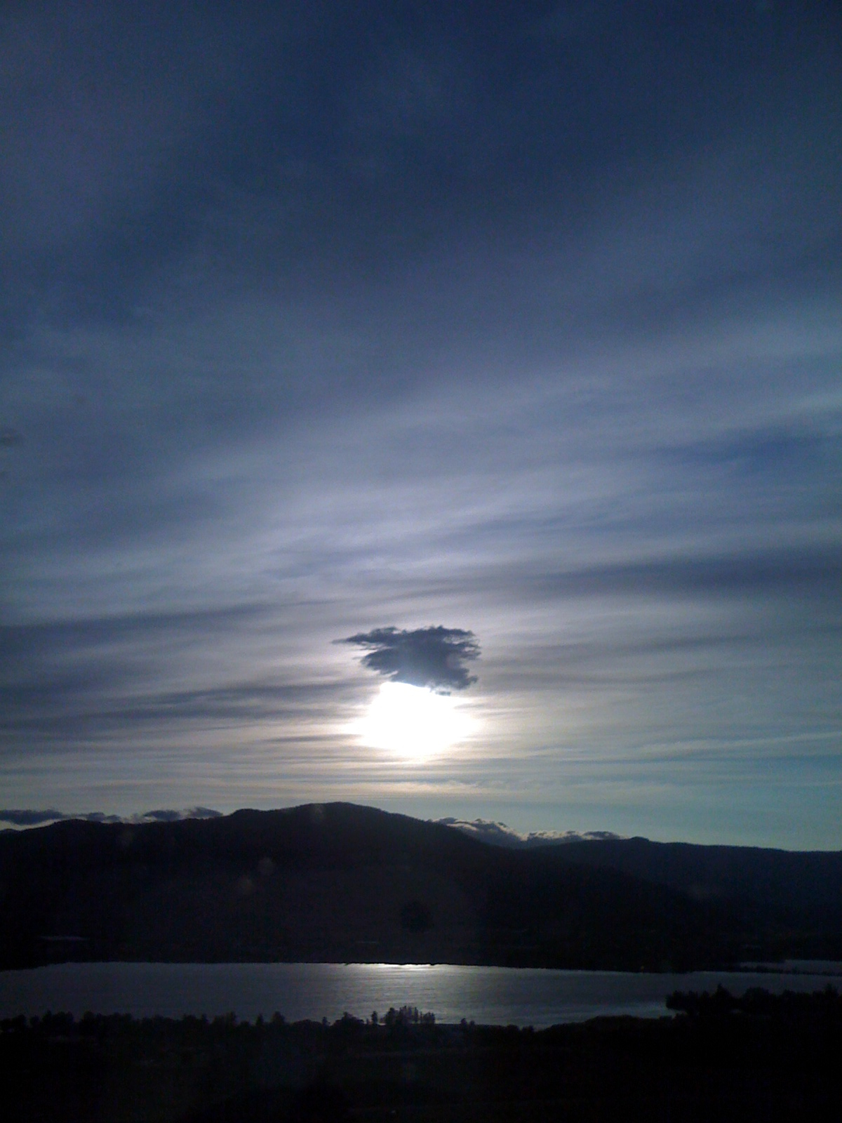
Osoyoos Sunset
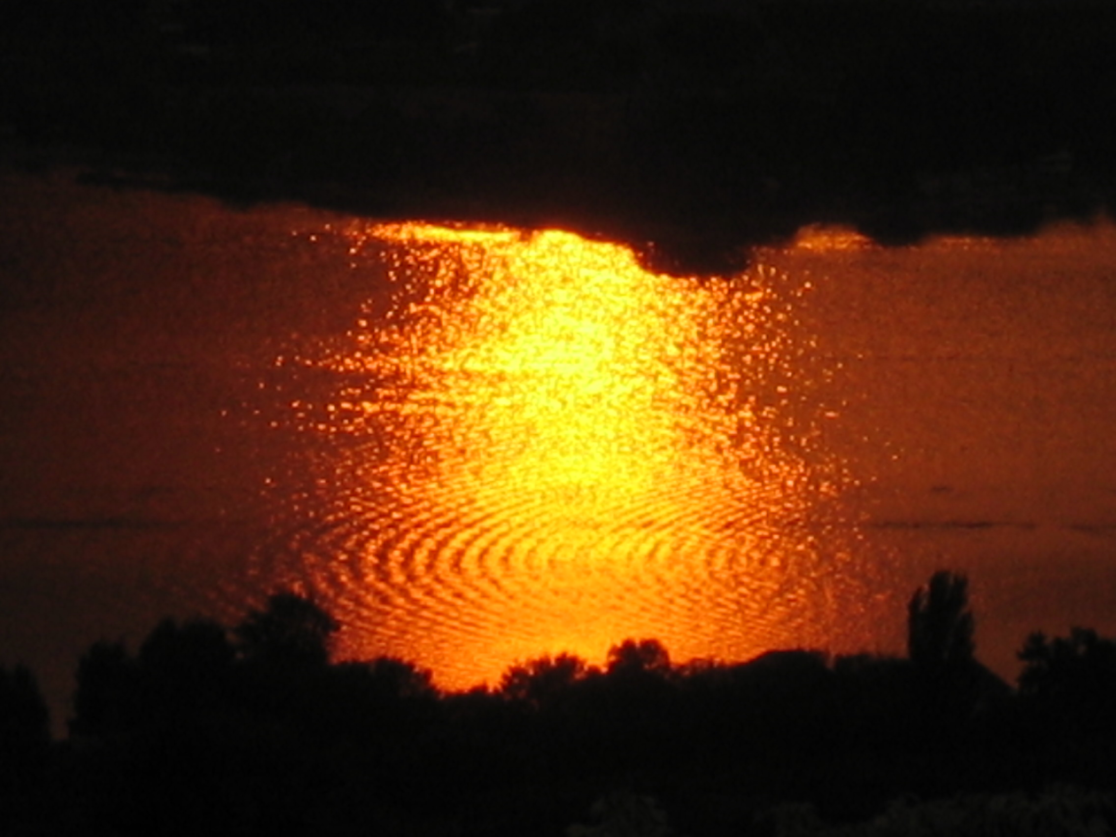
Sunset Ripples
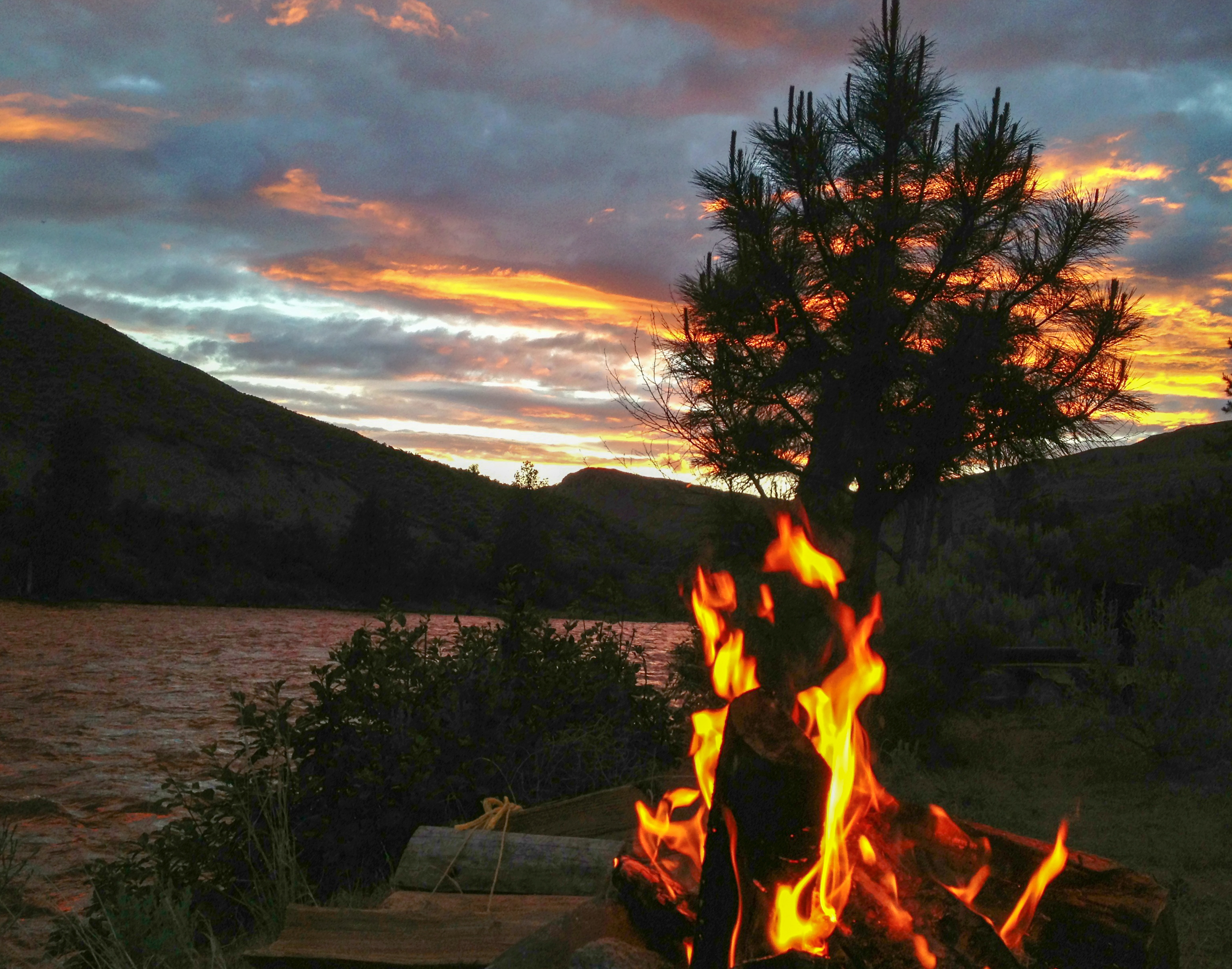
Campfire and pine silhouette along the Similkameen River, somewhat near Nighthawk, Washington
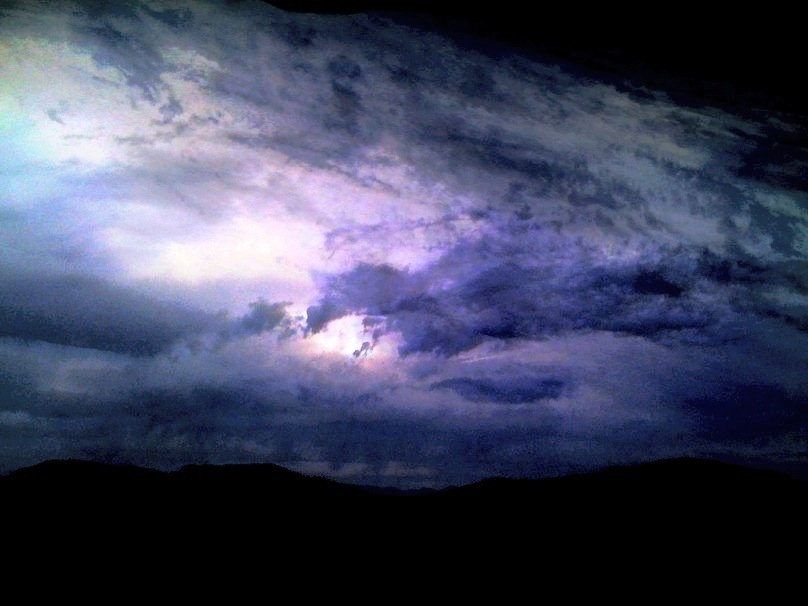
Deep Dark Light
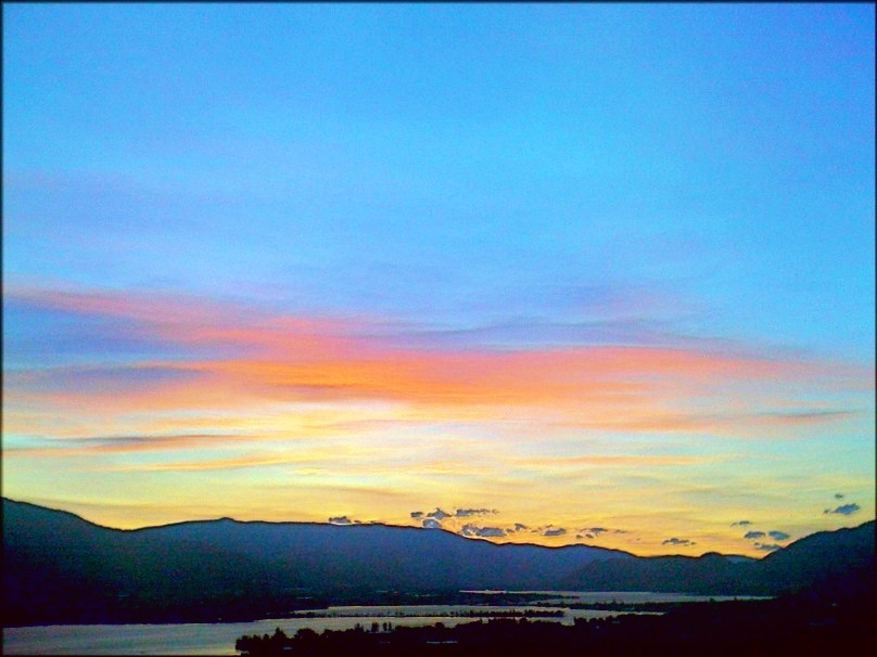
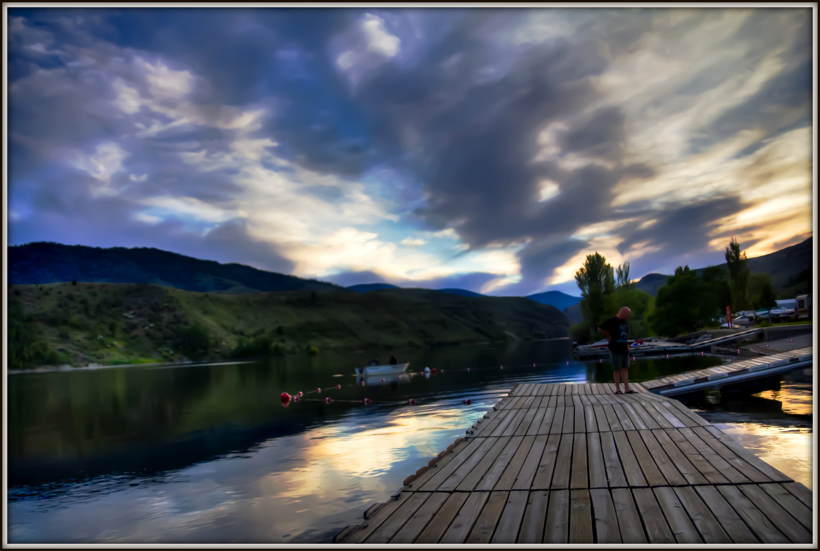
Osoyoos BC - Sunset Valley
Blues, Blacks and BC
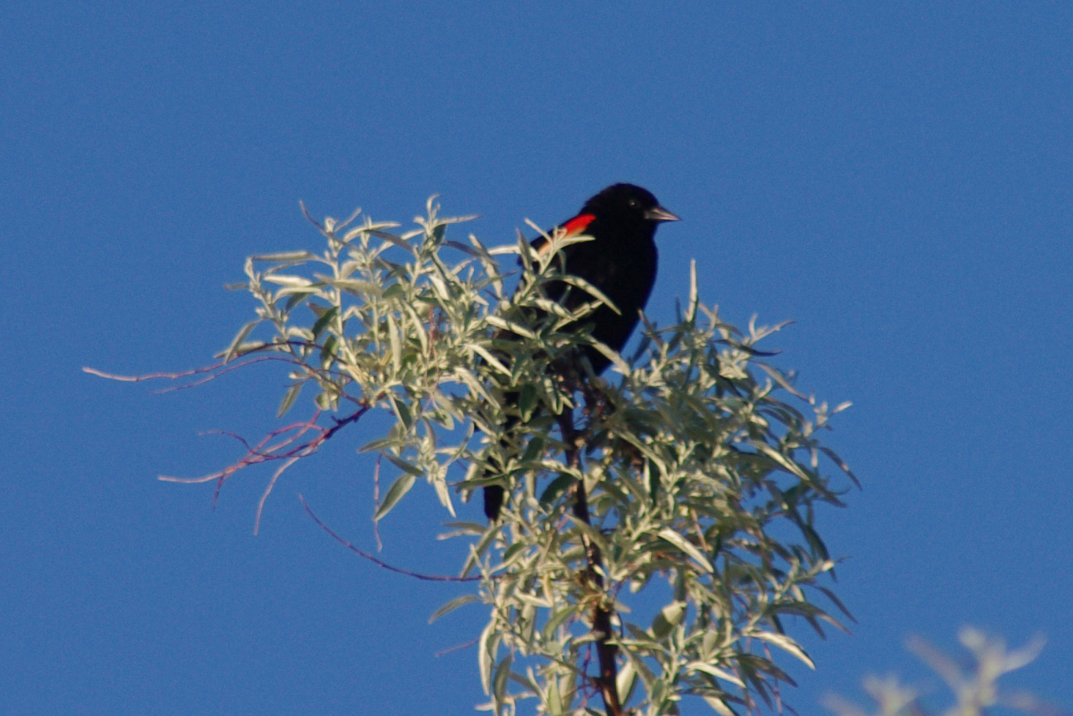
Redwing Blackbird Haynes Point
Spectacle Lake
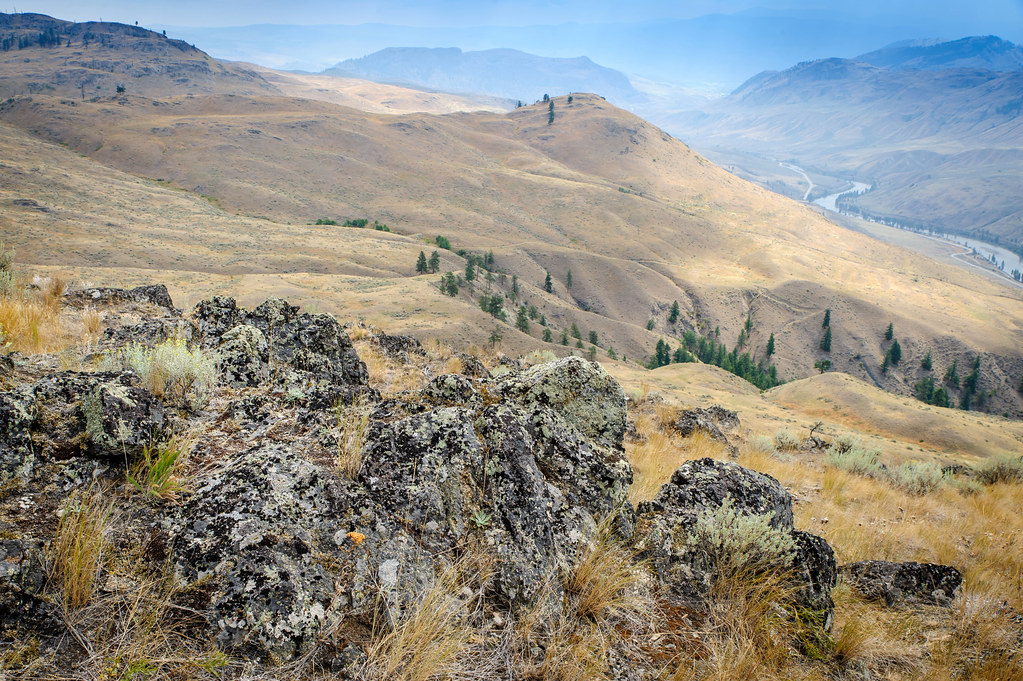
South Okanagan grassland
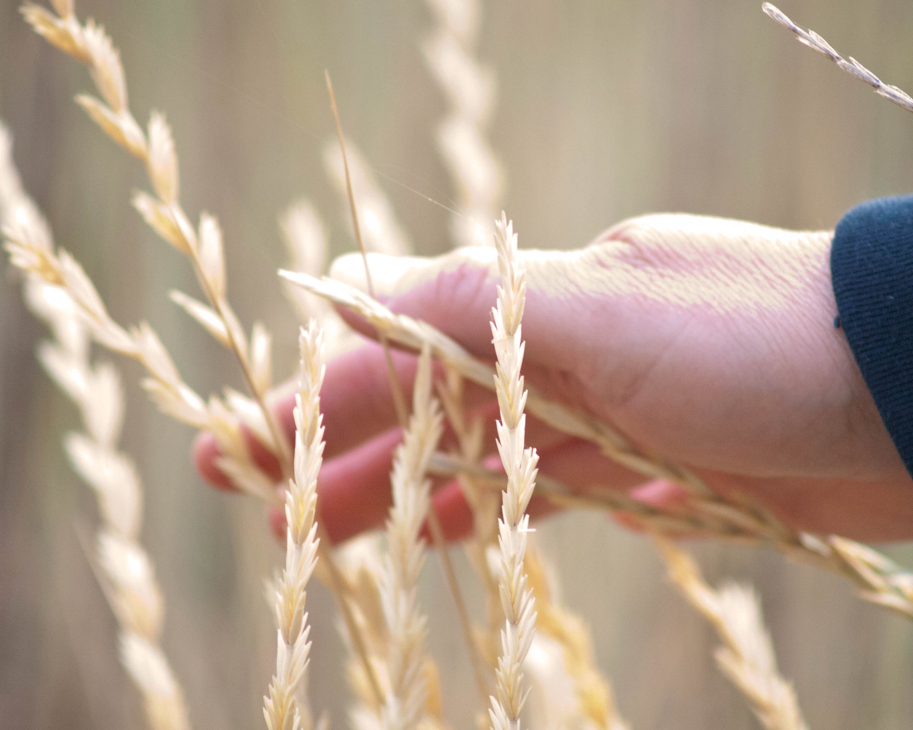
Hand in Grass
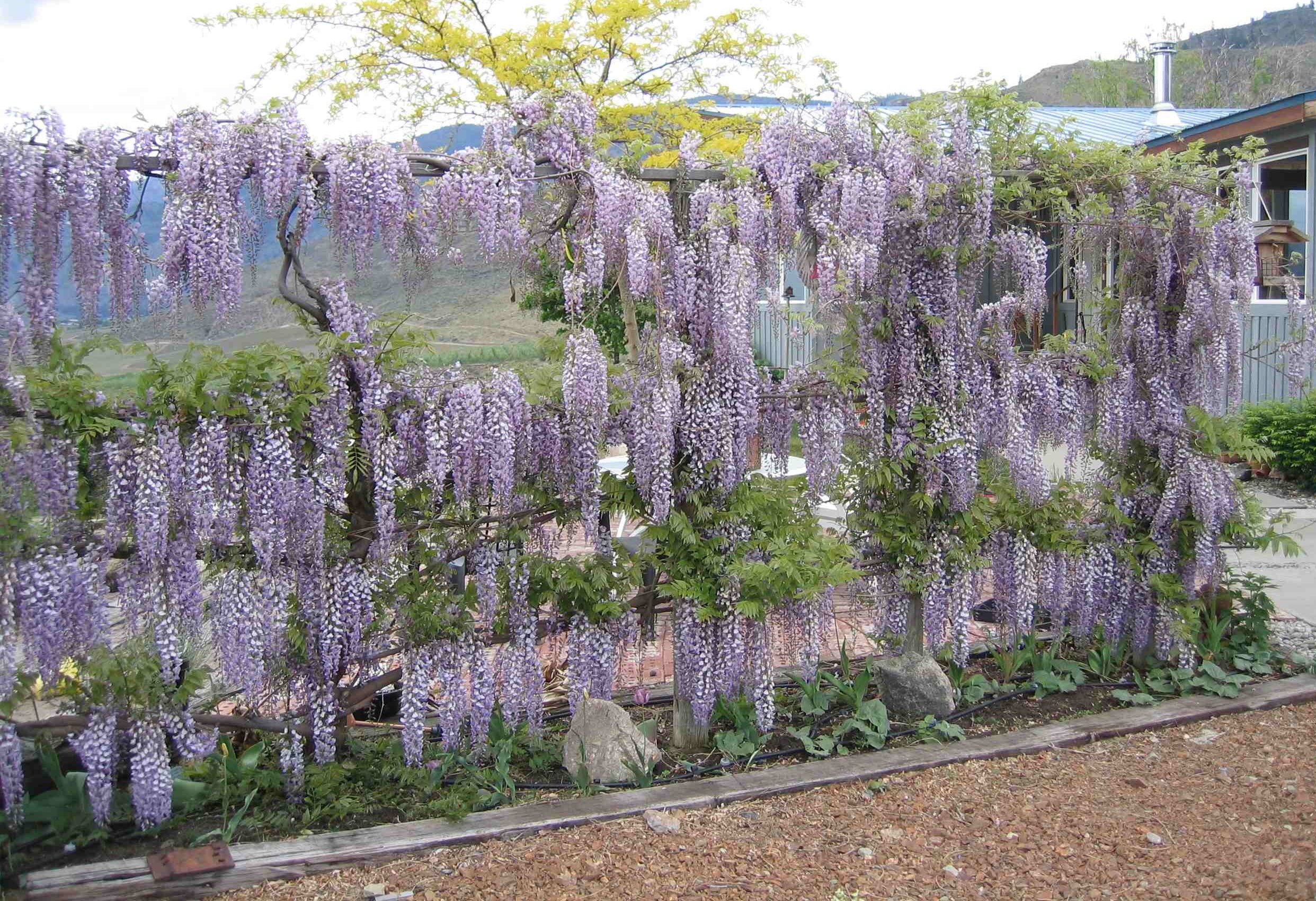
Wisteria Wall '05
Optimistic Shines...
Nature In Marco Vision
Like A Vacancy...Love Don't Live Here Anymore

Calmness Supreme

Hidden Harmonic Intentions

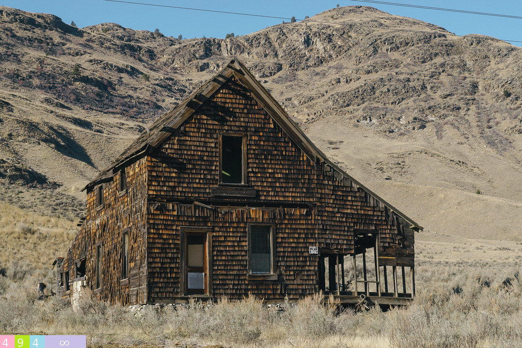
Victories Reclaimed Over Time
Remaining Relevnt
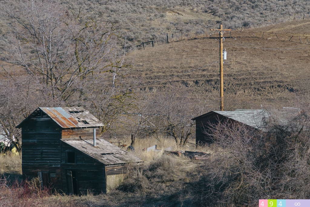
One Man's Will
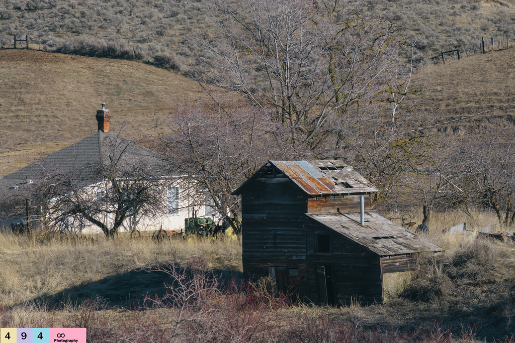
Abandoned Operations
Perfected Notions
Lasting Impressions

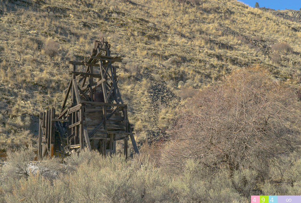
Ruby Mine
Pacific Northwest Trail panorama in Whistler Canyon 2
90-787_Old_powerhouse_on_the_Similkamean_River_near_Loomis_WA
Oroville-5
North Cascades NP/Osoyoos, BC/Coulee Dam - May 25-28, 2018
North Cascades NP/Osoyoos, BC/Coulee Dam - May 25-28, 2018

North Cascades NP/Osoyoos, BC/Coulee Dam - May 25-28, 2018
North Cascades NP/Osoyoos, BC/Coulee Dam - May 25-28, 2018
East Wannacut Lane, E Wannacut Ln, Washington, USA Map
Search another place
Near Places
Wannacut Lake, Washington, USA
Similkameen River, Washington, USA
19 Gavin Rd, Oroville, WA, USA
19 Gavin Rd, Oroville, WA, USA
Apple Way Ave, Oroville, WA, USA
Oroville, WA, USA
Fairwinds Dr, Osoyoos, BC V0H 1V4, Canada
Eastlake Rd, Oroville, WA, USA
Osoyoos Lake
Chardonnay Court, Chardonnay Ct, Osoyoos, BC V0H 1V6, Canada
Osoyoos, BC V0H, Canada
Main Street, Main St, British Columbia V0H, Canada
Jackpine Ln, Osoyoos, BC V0H 1V3, Canada
West Corral Road, W Corral Rd, Washington, USA
Chapman Road, Chapman Rd, Okanagan-Similkameen A, BC V0H 1V6, Canada
Mule Deer Dr, Osoyoos, BC V0H 1V6, Canada
Longview Rd, Osoyoos, BC V0H 1V6, Canada
Falcon Pl, Osoyoos, BC V0H 1V6, Canada
Cougar Place, Cougar Pl, Osoyoos, BC V0H 1V6, Canada
Bullmoose Way, Okanagan-Similkameen A, BC V0H 1V6, Canada
Recent Searches
- Sunrise Sunset Times of Red Dog Mine, AK, USA
- Sunrise Sunset Times of Am Bahnhof, Am bhf, Borken, Germany
- Sunrise Sunset Times of 4th St E, Sonoma, CA, USA
- Sunrise Sunset Times of Oakland Ave, Williamsport, PA, USA
- Sunrise Sunset Times of Via Roma, Pieranica CR, Italy
- Sunrise Sunset Times of Clock Tower of Dubrovnik, Grad, Dubrovnik, Croatia
- Sunrise Sunset Times of Trelew, Chubut Province, Argentina
- Sunrise Sunset Times of Hartfords Bluff Cir, Mt Pleasant, SC, USA
- Sunrise Sunset Times of Kita Ward, Kumamoto, Japan
- Sunrise Sunset Times of Pingtan Island, Pingtan County, Fuzhou, China