Whitewater, MO, USA Sonnenaufgang Sonnenuntergang Zeiten
Location: USA > Missouri > Cape Girardeau County > Hubble Township >
Zeitzone:
America/Chicago
Ortszeit:
2025-07-09 02:53:41
Länge:
-89.7959279
Breite:
37.2375527
Sonnenaufgang Heute:
05:47:18 AM
Sonnenuntergang Heute:
08:21:48 PM
Tageslänge heute:
14h 34m 30s
Sonnenaufgang morgen:
05:47:55 AM
Sonnenuntergang Morgen:
08:21:27 PM
Tageslänge von morgen:
14h 33m 32s
Alle Termine anzeigen
| Datum | Sonnenaufgang | Sonnenuntergang | Tageslänge |
|---|---|---|---|
| 2025-01-01 | 07:13:12 AM | 04:53:28 PM | 9h 40m 16s |
| 2025-01-02 | 07:13:18 AM | 04:54:17 PM | 9h 40m 59s |
| 2025-01-03 | 07:13:21 AM | 04:55:08 PM | 9h 41m 47s |
| 2025-01-04 | 07:13:23 AM | 04:55:59 PM | 9h 42m 36s |
| 2025-01-05 | 07:13:23 AM | 04:56:52 PM | 9h 43m 29s |
| 2025-01-06 | 07:13:20 AM | 04:57:47 PM | 9h 44m 27s |
| 2025-01-07 | 07:13:16 AM | 04:58:42 PM | 9h 45m 26s |
| 2025-01-08 | 07:13:10 AM | 04:59:38 PM | 9h 46m 28s |
| 2025-01-09 | 07:13:01 AM | 05:00:35 PM | 9h 47m 34s |
| 2025-01-10 | 07:12:51 AM | 05:01:33 PM | 9h 48m 42s |
| 2025-01-11 | 07:12:38 AM | 05:02:31 PM | 9h 49m 53s |
| 2025-01-12 | 07:12:23 AM | 05:03:31 PM | 9h 51m 8s |
| 2025-01-13 | 07:12:07 AM | 05:04:31 PM | 9h 52m 24s |
| 2025-01-14 | 07:11:48 AM | 05:05:32 PM | 9h 53m 44s |
| 2025-01-15 | 07:11:28 AM | 05:06:34 PM | 9h 55m 6s |
| 2025-01-16 | 07:11:05 AM | 05:07:36 PM | 9h 56m 31s |
| 2025-01-17 | 07:10:41 AM | 05:08:39 PM | 9h 57m 58s |
| 2025-01-18 | 07:10:14 AM | 05:09:42 PM | 9h 59m 28s |
| 2025-01-19 | 07:09:46 AM | 05:10:45 PM | 10h 0m 59s |
| 2025-01-20 | 07:09:15 AM | 05:11:49 PM | 10h 2m 34s |
| 2025-01-21 | 07:08:43 AM | 05:12:54 PM | 10h 4m 11s |
| 2025-01-22 | 07:08:09 AM | 05:13:58 PM | 10h 5m 49s |
| 2025-01-23 | 07:07:33 AM | 05:15:03 PM | 10h 7m 30s |
| 2025-01-24 | 07:06:56 AM | 05:16:09 PM | 10h 9m 13s |
| 2025-01-25 | 07:06:16 AM | 05:17:14 PM | 10h 10m 58s |
| 2025-01-26 | 07:05:35 AM | 05:18:20 PM | 10h 12m 45s |
| 2025-01-27 | 07:04:52 AM | 05:19:25 PM | 10h 14m 33s |
| 2025-01-28 | 07:04:07 AM | 05:20:31 PM | 10h 16m 24s |
| 2025-01-29 | 07:03:21 AM | 05:21:37 PM | 10h 18m 16s |
| 2025-01-30 | 07:02:33 AM | 05:22:43 PM | 10h 20m 10s |
| 2025-01-31 | 07:01:43 AM | 05:23:48 PM | 10h 22m 5s |
| 2025-02-01 | 07:00:52 AM | 05:24:54 PM | 10h 24m 2s |
| 2025-02-02 | 06:59:59 AM | 05:26:00 PM | 10h 26m 1s |
| 2025-02-03 | 06:59:05 AM | 05:27:06 PM | 10h 28m 1s |
| 2025-02-04 | 06:58:09 AM | 05:28:11 PM | 10h 30m 2s |
| 2025-02-05 | 06:57:11 AM | 05:29:17 PM | 10h 32m 6s |
| 2025-02-06 | 06:56:13 AM | 05:30:22 PM | 10h 34m 9s |
| 2025-02-07 | 06:55:13 AM | 05:31:27 PM | 10h 36m 14s |
| 2025-02-08 | 06:54:11 AM | 05:32:32 PM | 10h 38m 21s |
| 2025-02-09 | 06:53:08 AM | 05:33:36 PM | 10h 40m 28s |
| 2025-02-10 | 06:52:04 AM | 05:34:41 PM | 10h 42m 37s |
| 2025-02-11 | 06:50:58 AM | 05:35:45 PM | 10h 44m 47s |
| 2025-02-12 | 06:49:52 AM | 05:36:49 PM | 10h 46m 57s |
| 2025-02-13 | 06:48:44 AM | 05:37:52 PM | 10h 49m 8s |
| 2025-02-14 | 06:47:35 AM | 05:38:56 PM | 10h 51m 21s |
| 2025-02-15 | 06:46:24 AM | 05:39:59 PM | 10h 53m 35s |
| 2025-02-16 | 06:45:13 AM | 05:41:02 PM | 10h 55m 49s |
| 2025-02-17 | 06:44:01 AM | 05:42:04 PM | 10h 58m 3s |
| 2025-02-18 | 06:42:47 AM | 05:43:06 PM | 11h 0m 19s |
| 2025-02-19 | 06:41:33 AM | 05:44:08 PM | 11h 2m 35s |
| 2025-02-20 | 06:40:17 AM | 05:45:10 PM | 11h 4m 53s |
| 2025-02-21 | 06:39:01 AM | 05:46:11 PM | 11h 7m 10s |
| 2025-02-22 | 06:37:43 AM | 05:47:12 PM | 11h 9m 29s |
| 2025-02-23 | 06:36:25 AM | 05:48:12 PM | 11h 11m 47s |
| 2025-02-24 | 06:35:06 AM | 05:49:13 PM | 11h 14m 7s |
| 2025-02-25 | 06:33:46 AM | 05:50:13 PM | 11h 16m 27s |
| 2025-02-26 | 06:32:25 AM | 05:51:12 PM | 11h 18m 47s |
| 2025-02-27 | 06:31:04 AM | 05:52:11 PM | 11h 21m 7s |
| 2025-02-28 | 06:29:42 AM | 05:53:10 PM | 11h 23m 28s |
| 2025-03-01 | 06:28:19 AM | 05:54:09 PM | 11h 25m 50s |
| 2025-03-02 | 06:26:56 AM | 05:55:07 PM | 11h 28m 11s |
| 2025-03-03 | 06:25:32 AM | 05:56:05 PM | 11h 30m 33s |
| 2025-03-04 | 06:24:07 AM | 05:57:03 PM | 11h 32m 56s |
| 2025-03-05 | 06:22:42 AM | 05:58:01 PM | 11h 35m 19s |
| 2025-03-06 | 06:21:16 AM | 05:58:58 PM | 11h 37m 42s |
| 2025-03-07 | 06:19:50 AM | 05:59:55 PM | 11h 40m 5s |
| 2025-03-08 | 06:18:23 AM | 06:00:51 PM | 11h 42m 28s |
| 2025-03-09 | 07:16:59 AM | 07:01:45 PM | 11h 44m 46s |
| 2025-03-10 | 07:15:32 AM | 07:02:42 PM | 11h 47m 10s |
| 2025-03-11 | 07:14:04 AM | 07:03:38 PM | 11h 49m 34s |
| 2025-03-12 | 07:12:36 AM | 07:04:33 PM | 11h 51m 57s |
| 2025-03-13 | 07:11:07 AM | 07:05:29 PM | 11h 54m 22s |
| 2025-03-14 | 07:09:38 AM | 07:06:24 PM | 11h 56m 46s |
| 2025-03-15 | 07:08:09 AM | 07:07:19 PM | 11h 59m 10s |
| 2025-03-16 | 07:06:40 AM | 07:08:14 PM | 12h 1m 34s |
| 2025-03-17 | 07:05:10 AM | 07:09:09 PM | 12h 3m 59s |
| 2025-03-18 | 07:03:41 AM | 07:10:03 PM | 12h 6m 22s |
| 2025-03-19 | 07:02:11 AM | 07:10:58 PM | 12h 8m 47s |
| 2025-03-20 | 07:00:41 AM | 07:11:52 PM | 12h 11m 11s |
| 2025-03-21 | 06:59:11 AM | 07:12:46 PM | 12h 13m 35s |
| 2025-03-22 | 06:57:41 AM | 07:13:40 PM | 12h 15m 59s |
| 2025-03-23 | 06:56:11 AM | 07:14:34 PM | 12h 18m 23s |
| 2025-03-24 | 06:54:41 AM | 07:15:28 PM | 12h 20m 47s |
| 2025-03-25 | 06:53:11 AM | 07:16:21 PM | 12h 23m 10s |
| 2025-03-26 | 06:51:41 AM | 07:17:15 PM | 12h 25m 34s |
| 2025-03-27 | 06:50:12 AM | 07:18:09 PM | 12h 27m 57s |
| 2025-03-28 | 06:48:42 AM | 07:19:02 PM | 12h 30m 20s |
| 2025-03-29 | 06:47:13 AM | 07:19:56 PM | 12h 32m 43s |
| 2025-03-30 | 06:45:43 AM | 07:20:49 PM | 12h 35m 6s |
| 2025-03-31 | 06:44:14 AM | 07:21:42 PM | 12h 37m 28s |
| 2025-04-01 | 06:42:46 AM | 07:22:36 PM | 12h 39m 50s |
| 2025-04-02 | 06:41:17 AM | 07:23:29 PM | 12h 42m 12s |
| 2025-04-03 | 06:39:49 AM | 07:24:22 PM | 12h 44m 33s |
| 2025-04-04 | 06:38:21 AM | 07:25:16 PM | 12h 46m 55s |
| 2025-04-05 | 06:36:54 AM | 07:26:09 PM | 12h 49m 15s |
| 2025-04-06 | 06:35:27 AM | 07:27:02 PM | 12h 51m 35s |
| 2025-04-07 | 06:34:00 AM | 07:27:56 PM | 12h 53m 56s |
| 2025-04-08 | 06:32:34 AM | 07:28:49 PM | 12h 56m 15s |
| 2025-04-09 | 06:31:09 AM | 07:29:43 PM | 12h 58m 34s |
| 2025-04-10 | 06:29:44 AM | 07:30:36 PM | 13h 0m 52s |
| 2025-04-11 | 06:28:19 AM | 07:31:30 PM | 13h 3m 11s |
| 2025-04-12 | 06:26:55 AM | 07:32:23 PM | 13h 5m 28s |
| 2025-04-13 | 06:25:32 AM | 07:33:17 PM | 13h 7m 45s |
| 2025-04-14 | 06:24:09 AM | 07:34:10 PM | 13h 10m 1s |
| 2025-04-15 | 06:22:47 AM | 07:35:04 PM | 13h 12m 17s |
| 2025-04-16 | 06:21:26 AM | 07:35:58 PM | 13h 14m 32s |
| 2025-04-17 | 06:20:05 AM | 07:36:52 PM | 13h 16m 47s |
| 2025-04-18 | 06:18:45 AM | 07:37:45 PM | 13h 19m 0s |
| 2025-04-19 | 06:17:26 AM | 07:38:39 PM | 13h 21m 13s |
| 2025-04-20 | 06:16:08 AM | 07:39:33 PM | 13h 23m 25s |
| 2025-04-21 | 06:14:51 AM | 07:40:27 PM | 13h 25m 36s |
| 2025-04-22 | 06:13:34 AM | 07:41:21 PM | 13h 27m 47s |
| 2025-04-23 | 06:12:19 AM | 07:42:15 PM | 13h 29m 56s |
| 2025-04-24 | 06:11:04 AM | 07:43:09 PM | 13h 32m 5s |
| 2025-04-25 | 06:09:51 AM | 07:44:03 PM | 13h 34m 12s |
| 2025-04-26 | 06:08:38 AM | 07:44:57 PM | 13h 36m 19s |
| 2025-04-27 | 06:07:26 AM | 07:45:51 PM | 13h 38m 25s |
| 2025-04-28 | 06:06:16 AM | 07:46:45 PM | 13h 40m 29s |
| 2025-04-29 | 06:05:06 AM | 07:47:39 PM | 13h 42m 33s |
| 2025-04-30 | 06:03:58 AM | 07:48:33 PM | 13h 44m 35s |
| 2025-05-01 | 06:02:51 AM | 07:49:27 PM | 13h 46m 36s |
| 2025-05-02 | 06:01:45 AM | 07:50:20 PM | 13h 48m 35s |
| 2025-05-03 | 06:00:40 AM | 07:51:14 PM | 13h 50m 34s |
| 2025-05-04 | 05:59:36 AM | 07:52:07 PM | 13h 52m 31s |
| 2025-05-05 | 05:58:34 AM | 07:53:01 PM | 13h 54m 27s |
| 2025-05-06 | 05:57:33 AM | 07:53:54 PM | 13h 56m 21s |
| 2025-05-07 | 05:56:33 AM | 07:54:47 PM | 13h 58m 14s |
| 2025-05-08 | 05:55:35 AM | 07:55:40 PM | 14h 0m 5s |
| 2025-05-09 | 05:54:38 AM | 07:56:32 PM | 14h 1m 54s |
| 2025-05-10 | 05:53:42 AM | 07:57:25 PM | 14h 3m 43s |
| 2025-05-11 | 05:52:48 AM | 07:58:17 PM | 14h 5m 29s |
| 2025-05-12 | 05:51:55 AM | 07:59:09 PM | 14h 7m 14s |
| 2025-05-13 | 05:51:04 AM | 08:00:00 PM | 14h 8m 56s |
| 2025-05-14 | 05:50:14 AM | 08:00:51 PM | 14h 10m 37s |
| 2025-05-15 | 05:49:26 AM | 08:01:42 PM | 14h 12m 16s |
| 2025-05-16 | 05:48:39 AM | 08:02:32 PM | 14h 13m 53s |
| 2025-05-17 | 05:47:54 AM | 08:03:22 PM | 14h 15m 28s |
| 2025-05-18 | 05:47:10 AM | 08:04:11 PM | 14h 17m 1s |
| 2025-05-19 | 05:46:28 AM | 08:05:00 PM | 14h 18m 32s |
| 2025-05-20 | 05:45:48 AM | 08:05:49 PM | 14h 20m 1s |
| 2025-05-21 | 05:45:09 AM | 08:06:36 PM | 14h 21m 27s |
| 2025-05-22 | 05:44:32 AM | 08:07:23 PM | 14h 22m 51s |
| 2025-05-23 | 05:43:57 AM | 08:08:10 PM | 14h 24m 13s |
| 2025-05-24 | 05:43:23 AM | 08:08:56 PM | 14h 25m 33s |
| 2025-05-25 | 05:42:51 AM | 08:09:41 PM | 14h 26m 50s |
| 2025-05-26 | 05:42:20 AM | 08:10:25 PM | 14h 28m 5s |
| 2025-05-27 | 05:41:52 AM | 08:11:08 PM | 14h 29m 16s |
| 2025-05-28 | 05:41:25 AM | 08:11:51 PM | 14h 30m 26s |
| 2025-05-29 | 05:41:00 AM | 08:12:33 PM | 14h 31m 33s |
| 2025-05-30 | 05:40:36 AM | 08:13:14 PM | 14h 32m 38s |
| 2025-05-31 | 05:40:15 AM | 08:13:54 PM | 14h 33m 39s |
| 2025-06-01 | 05:39:55 AM | 08:14:33 PM | 14h 34m 38s |
| 2025-06-02 | 05:39:37 AM | 08:15:11 PM | 14h 35m 34s |
| 2025-06-03 | 05:39:21 AM | 08:15:47 PM | 14h 36m 26s |
| 2025-06-04 | 05:39:06 AM | 08:16:23 PM | 14h 37m 17s |
| 2025-06-05 | 05:38:53 AM | 08:16:58 PM | 14h 38m 5s |
| 2025-06-06 | 05:38:42 AM | 08:17:31 PM | 14h 38m 49s |
| 2025-06-07 | 05:38:33 AM | 08:18:03 PM | 14h 39m 30s |
| 2025-06-08 | 05:38:26 AM | 08:18:34 PM | 14h 40m 8s |
| 2025-06-09 | 05:38:20 AM | 08:19:04 PM | 14h 40m 44s |
| 2025-06-10 | 05:38:16 AM | 08:19:32 PM | 14h 41m 16s |
| 2025-06-11 | 05:38:14 AM | 08:19:59 PM | 14h 41m 45s |
| 2025-06-12 | 05:38:13 AM | 08:20:25 PM | 14h 42m 12s |
| 2025-06-13 | 05:38:15 AM | 08:20:49 PM | 14h 42m 34s |
| 2025-06-14 | 05:38:18 AM | 08:21:11 PM | 14h 42m 53s |
| 2025-06-15 | 05:38:22 AM | 08:21:32 PM | 14h 43m 10s |
| 2025-06-16 | 05:38:29 AM | 08:21:52 PM | 14h 43m 23s |
| 2025-06-17 | 05:38:37 AM | 08:22:10 PM | 14h 43m 33s |
| 2025-06-18 | 05:38:46 AM | 08:22:27 PM | 14h 43m 41s |
| 2025-06-19 | 05:38:58 AM | 08:22:42 PM | 14h 43m 44s |
| 2025-06-20 | 05:39:10 AM | 08:22:55 PM | 14h 43m 45s |
| 2025-06-21 | 05:39:25 AM | 08:23:07 PM | 14h 43m 42s |
| 2025-06-22 | 05:39:41 AM | 08:23:17 PM | 14h 43m 36s |
| 2025-06-23 | 05:39:58 AM | 08:23:25 PM | 14h 43m 27s |
| 2025-06-24 | 05:40:17 AM | 08:23:31 PM | 14h 43m 14s |
| 2025-06-25 | 05:40:38 AM | 08:23:36 PM | 14h 42m 58s |
| 2025-06-26 | 05:40:59 AM | 08:23:39 PM | 14h 42m 40s |
| 2025-06-27 | 05:41:23 AM | 08:23:41 PM | 14h 42m 18s |
| 2025-06-28 | 05:41:47 AM | 08:23:40 PM | 14h 41m 53s |
| 2025-06-29 | 05:42:13 AM | 08:23:38 PM | 14h 41m 25s |
| 2025-06-30 | 05:42:40 AM | 08:23:34 PM | 14h 40m 54s |
| 2025-07-01 | 05:43:09 AM | 08:23:28 PM | 14h 40m 19s |
| 2025-07-02 | 05:43:39 AM | 08:23:21 PM | 14h 39m 42s |
| 2025-07-03 | 05:44:10 AM | 08:23:11 PM | 14h 39m 1s |
| 2025-07-04 | 05:44:42 AM | 08:23:00 PM | 14h 38m 18s |
| 2025-07-05 | 05:45:15 AM | 08:22:47 PM | 14h 37m 32s |
| 2025-07-06 | 05:45:49 AM | 08:22:32 PM | 14h 36m 43s |
| 2025-07-07 | 05:46:24 AM | 08:22:15 PM | 14h 35m 51s |
| 2025-07-08 | 05:47:01 AM | 08:21:57 PM | 14h 34m 56s |
| 2025-07-09 | 05:47:38 AM | 08:21:37 PM | 14h 33m 59s |
| 2025-07-10 | 05:48:16 AM | 08:21:14 PM | 14h 32m 58s |
| 2025-07-11 | 05:48:55 AM | 08:20:51 PM | 14h 31m 56s |
| 2025-07-12 | 05:49:35 AM | 08:20:25 PM | 14h 30m 50s |
| 2025-07-13 | 05:50:16 AM | 08:19:57 PM | 14h 29m 41s |
| 2025-07-14 | 05:50:57 AM | 08:19:28 PM | 14h 28m 31s |
| 2025-07-15 | 05:51:40 AM | 08:18:57 PM | 14h 27m 17s |
| 2025-07-16 | 05:52:23 AM | 08:18:24 PM | 14h 26m 1s |
| 2025-07-17 | 05:53:06 AM | 08:17:50 PM | 14h 24m 44s |
| 2025-07-18 | 05:53:50 AM | 08:17:14 PM | 14h 23m 24s |
| 2025-07-19 | 05:54:35 AM | 08:16:36 PM | 14h 22m 1s |
| 2025-07-20 | 05:55:21 AM | 08:15:56 PM | 14h 20m 35s |
| 2025-07-21 | 05:56:07 AM | 08:15:15 PM | 14h 19m 8s |
| 2025-07-22 | 05:56:53 AM | 08:14:32 PM | 14h 17m 39s |
| 2025-07-23 | 05:57:40 AM | 08:13:48 PM | 14h 16m 8s |
| 2025-07-24 | 05:58:27 AM | 08:13:01 PM | 14h 14m 34s |
| 2025-07-25 | 05:59:15 AM | 08:12:14 PM | 14h 12m 59s |
| 2025-07-26 | 06:00:03 AM | 08:11:24 PM | 14h 11m 21s |
| 2025-07-27 | 06:00:51 AM | 08:10:34 PM | 14h 9m 43s |
| 2025-07-28 | 06:01:40 AM | 08:09:41 PM | 14h 8m 1s |
| 2025-07-29 | 06:02:29 AM | 08:08:48 PM | 14h 6m 19s |
| 2025-07-30 | 06:03:18 AM | 08:07:52 PM | 14h 4m 34s |
| 2025-07-31 | 06:04:07 AM | 08:06:56 PM | 14h 2m 49s |
| 2025-08-01 | 06:04:57 AM | 08:05:57 PM | 14h 1m 0s |
| 2025-08-02 | 06:05:47 AM | 08:04:58 PM | 13h 59m 11s |
| 2025-08-03 | 06:06:37 AM | 08:03:57 PM | 13h 57m 20s |
| 2025-08-04 | 06:07:27 AM | 08:02:55 PM | 13h 55m 28s |
| 2025-08-05 | 06:08:17 AM | 08:01:51 PM | 13h 53m 34s |
| 2025-08-06 | 06:09:07 AM | 08:00:47 PM | 13h 51m 40s |
| 2025-08-07 | 06:09:57 AM | 07:59:41 PM | 13h 49m 44s |
| 2025-08-08 | 06:10:48 AM | 07:58:33 PM | 13h 47m 45s |
| 2025-08-09 | 06:11:38 AM | 07:57:25 PM | 13h 45m 47s |
| 2025-08-10 | 06:12:29 AM | 07:56:15 PM | 13h 43m 46s |
| 2025-08-11 | 06:13:19 AM | 07:55:04 PM | 13h 41m 45s |
| 2025-08-12 | 06:14:10 AM | 07:53:53 PM | 13h 39m 43s |
| 2025-08-13 | 06:15:00 AM | 07:52:40 PM | 13h 37m 40s |
| 2025-08-14 | 06:15:50 AM | 07:51:26 PM | 13h 35m 36s |
| 2025-08-15 | 06:16:41 AM | 07:50:11 PM | 13h 33m 30s |
| 2025-08-16 | 06:17:31 AM | 07:48:55 PM | 13h 31m 24s |
| 2025-08-17 | 06:18:21 AM | 07:47:38 PM | 13h 29m 17s |
| 2025-08-18 | 06:19:12 AM | 07:46:20 PM | 13h 27m 8s |
| 2025-08-19 | 06:20:02 AM | 07:45:01 PM | 13h 24m 59s |
| 2025-08-20 | 06:20:52 AM | 07:43:41 PM | 13h 22m 49s |
| 2025-08-21 | 06:21:42 AM | 07:42:21 PM | 13h 20m 39s |
| 2025-08-22 | 06:22:32 AM | 07:40:59 PM | 13h 18m 27s |
| 2025-08-23 | 06:23:22 AM | 07:39:37 PM | 13h 16m 15s |
| 2025-08-24 | 06:24:12 AM | 07:38:14 PM | 13h 14m 2s |
| 2025-08-25 | 06:25:01 AM | 07:36:51 PM | 13h 11m 50s |
| 2025-08-26 | 06:25:51 AM | 07:35:27 PM | 13h 9m 36s |
| 2025-08-27 | 06:26:41 AM | 07:34:02 PM | 13h 7m 21s |
| 2025-08-28 | 06:27:30 AM | 07:32:36 PM | 13h 5m 6s |
| 2025-08-29 | 06:28:20 AM | 07:31:10 PM | 13h 2m 50s |
| 2025-08-30 | 06:29:09 AM | 07:29:43 PM | 13h 0m 34s |
| 2025-08-31 | 06:29:58 AM | 07:28:16 PM | 12h 58m 18s |
| 2025-09-01 | 06:30:47 AM | 07:26:48 PM | 12h 56m 1s |
| 2025-09-02 | 06:31:37 AM | 07:25:20 PM | 12h 53m 43s |
| 2025-09-03 | 06:32:26 AM | 07:23:51 PM | 12h 51m 25s |
| 2025-09-04 | 06:33:15 AM | 07:22:21 PM | 12h 49m 6s |
| 2025-09-05 | 06:34:04 AM | 07:20:52 PM | 12h 46m 48s |
| 2025-09-06 | 06:34:53 AM | 07:19:22 PM | 12h 44m 29s |
| 2025-09-07 | 06:35:42 AM | 07:17:51 PM | 12h 42m 9s |
| 2025-09-08 | 06:36:31 AM | 07:16:21 PM | 12h 39m 50s |
| 2025-09-09 | 06:37:20 AM | 07:14:50 PM | 12h 37m 30s |
| 2025-09-10 | 06:38:09 AM | 07:13:19 PM | 12h 35m 10s |
| 2025-09-11 | 06:38:58 AM | 07:11:47 PM | 12h 32m 49s |
| 2025-09-12 | 06:39:47 AM | 07:10:16 PM | 12h 30m 29s |
| 2025-09-13 | 06:40:36 AM | 07:08:44 PM | 12h 28m 8s |
| 2025-09-14 | 06:41:25 AM | 07:07:12 PM | 12h 25m 47s |
| 2025-09-15 | 06:42:14 AM | 07:05:40 PM | 12h 23m 26s |
| 2025-09-16 | 06:43:04 AM | 07:04:07 PM | 12h 21m 3s |
| 2025-09-17 | 06:43:53 AM | 07:02:35 PM | 12h 18m 42s |
| 2025-09-18 | 06:44:42 AM | 07:01:03 PM | 12h 16m 21s |
| 2025-09-19 | 06:45:32 AM | 06:59:31 PM | 12h 13m 59s |
| 2025-09-20 | 06:46:22 AM | 06:57:59 PM | 12h 11m 37s |
| 2025-09-21 | 06:47:11 AM | 06:56:26 PM | 12h 9m 15s |
| 2025-09-22 | 06:48:01 AM | 06:54:54 PM | 12h 6m 53s |
| 2025-09-23 | 06:48:51 AM | 06:53:22 PM | 12h 4m 31s |
| 2025-09-24 | 06:49:42 AM | 06:51:51 PM | 12h 2m 9s |
| 2025-09-25 | 06:50:32 AM | 06:50:19 PM | 11h 59m 47s |
| 2025-09-26 | 06:51:22 AM | 06:48:48 PM | 11h 57m 26s |
| 2025-09-27 | 06:52:13 AM | 06:47:16 PM | 11h 55m 3s |
| 2025-09-28 | 06:53:04 AM | 06:45:46 PM | 11h 52m 42s |
| 2025-09-29 | 06:53:55 AM | 06:44:15 PM | 11h 50m 20s |
| 2025-09-30 | 06:54:47 AM | 06:42:45 PM | 11h 47m 58s |
| 2025-10-01 | 06:55:38 AM | 06:41:15 PM | 11h 45m 37s |
| 2025-10-02 | 06:56:30 AM | 06:39:45 PM | 11h 43m 15s |
| 2025-10-03 | 06:57:23 AM | 06:38:16 PM | 11h 40m 53s |
| 2025-10-04 | 06:58:15 AM | 06:36:47 PM | 11h 38m 32s |
| 2025-10-05 | 06:59:08 AM | 06:35:19 PM | 11h 36m 11s |
| 2025-10-06 | 07:00:01 AM | 06:33:52 PM | 11h 33m 51s |
| 2025-10-07 | 07:00:54 AM | 06:32:24 PM | 11h 31m 30s |
| 2025-10-08 | 07:01:48 AM | 06:30:58 PM | 11h 29m 10s |
| 2025-10-09 | 07:02:42 AM | 06:29:32 PM | 11h 26m 50s |
| 2025-10-10 | 07:03:36 AM | 06:28:07 PM | 11h 24m 31s |
| 2025-10-11 | 07:04:30 AM | 06:26:42 PM | 11h 22m 12s |
| 2025-10-12 | 07:05:25 AM | 06:25:18 PM | 11h 19m 53s |
| 2025-10-13 | 07:06:20 AM | 06:23:55 PM | 11h 17m 35s |
| 2025-10-14 | 07:07:16 AM | 06:22:32 PM | 11h 15m 16s |
| 2025-10-15 | 07:08:12 AM | 06:21:11 PM | 11h 12m 59s |
| 2025-10-16 | 07:09:08 AM | 06:19:50 PM | 11h 10m 42s |
| 2025-10-17 | 07:10:05 AM | 06:18:30 PM | 11h 8m 25s |
| 2025-10-18 | 07:11:02 AM | 06:17:11 PM | 11h 6m 9s |
| 2025-10-19 | 07:11:59 AM | 06:15:52 PM | 11h 3m 53s |
| 2025-10-20 | 07:12:57 AM | 06:14:35 PM | 11h 1m 38s |
| 2025-10-21 | 07:13:55 AM | 06:13:19 PM | 10h 59m 24s |
| 2025-10-22 | 07:14:53 AM | 06:12:04 PM | 10h 57m 11s |
| 2025-10-23 | 07:15:52 AM | 06:10:49 PM | 10h 54m 57s |
| 2025-10-24 | 07:16:51 AM | 06:09:36 PM | 10h 52m 45s |
| 2025-10-25 | 07:17:50 AM | 06:08:24 PM | 10h 50m 34s |
| 2025-10-26 | 07:18:50 AM | 06:07:14 PM | 10h 48m 24s |
| 2025-10-27 | 07:19:50 AM | 06:06:04 PM | 10h 46m 14s |
| 2025-10-28 | 07:20:50 AM | 06:04:55 PM | 10h 44m 5s |
| 2025-10-29 | 07:21:50 AM | 06:03:48 PM | 10h 41m 58s |
| 2025-10-30 | 07:22:51 AM | 06:02:42 PM | 10h 39m 51s |
| 2025-10-31 | 07:23:52 AM | 06:01:38 PM | 10h 37m 46s |
| 2025-11-01 | 07:24:54 AM | 06:00:35 PM | 10h 35m 41s |
| 2025-11-02 | 06:25:58 AM | 04:59:30 PM | 10h 33m 32s |
| 2025-11-03 | 06:27:00 AM | 04:58:30 PM | 10h 31m 30s |
| 2025-11-04 | 06:28:02 AM | 04:57:31 PM | 10h 29m 29s |
| 2025-11-05 | 06:29:04 AM | 04:56:33 PM | 10h 27m 29s |
| 2025-11-06 | 06:30:06 AM | 04:55:37 PM | 10h 25m 31s |
| 2025-11-07 | 06:31:09 AM | 04:54:43 PM | 10h 23m 34s |
| 2025-11-08 | 06:32:12 AM | 04:53:50 PM | 10h 21m 38s |
| 2025-11-09 | 06:33:14 AM | 04:52:59 PM | 10h 19m 45s |
| 2025-11-10 | 06:34:17 AM | 04:52:09 PM | 10h 17m 52s |
| 2025-11-11 | 06:35:20 AM | 04:51:21 PM | 10h 16m 1s |
| 2025-11-12 | 06:36:23 AM | 04:50:35 PM | 10h 14m 12s |
| 2025-11-13 | 06:37:26 AM | 04:49:51 PM | 10h 12m 25s |
| 2025-11-14 | 06:38:29 AM | 04:49:08 PM | 10h 10m 39s |
| 2025-11-15 | 06:39:31 AM | 04:48:27 PM | 10h 8m 56s |
| 2025-11-16 | 06:40:34 AM | 04:47:48 PM | 10h 7m 14s |
| 2025-11-17 | 06:41:36 AM | 04:47:11 PM | 10h 5m 35s |
| 2025-11-18 | 06:42:38 AM | 04:46:35 PM | 10h 3m 57s |
| 2025-11-19 | 06:43:40 AM | 04:46:02 PM | 10h 2m 22s |
| 2025-11-20 | 06:44:42 AM | 04:45:30 PM | 10h 0m 48s |
| 2025-11-21 | 06:45:43 AM | 04:45:00 PM | 9h 59m 17s |
| 2025-11-22 | 06:46:44 AM | 04:44:32 PM | 9h 57m 48s |
| 2025-11-23 | 06:47:44 AM | 04:44:07 PM | 9h 56m 23s |
| 2025-11-24 | 06:48:44 AM | 04:43:43 PM | 9h 54m 59s |
| 2025-11-25 | 06:49:44 AM | 04:43:21 PM | 9h 53m 37s |
| 2025-11-26 | 06:50:43 AM | 04:43:01 PM | 9h 52m 18s |
| 2025-11-27 | 06:51:41 AM | 04:42:43 PM | 9h 51m 2s |
| 2025-11-28 | 06:52:39 AM | 04:42:27 PM | 9h 49m 48s |
| 2025-11-29 | 06:53:36 AM | 04:42:14 PM | 9h 48m 38s |
| 2025-11-30 | 06:54:32 AM | 04:42:02 PM | 9h 47m 30s |
| 2025-12-01 | 06:55:28 AM | 04:41:53 PM | 9h 46m 25s |
| 2025-12-02 | 06:56:22 AM | 04:41:45 PM | 9h 45m 23s |
| 2025-12-03 | 06:57:16 AM | 04:41:40 PM | 9h 44m 24s |
| 2025-12-04 | 06:58:09 AM | 04:41:36 PM | 9h 43m 27s |
| 2025-12-05 | 06:59:00 AM | 04:41:35 PM | 9h 42m 35s |
| 2025-12-06 | 06:59:51 AM | 04:41:36 PM | 9h 41m 45s |
| 2025-12-07 | 07:00:41 AM | 04:41:39 PM | 9h 40m 58s |
| 2025-12-08 | 07:01:29 AM | 04:41:44 PM | 9h 40m 15s |
| 2025-12-09 | 07:02:16 AM | 04:41:51 PM | 9h 39m 35s |
| 2025-12-10 | 07:03:02 AM | 04:42:00 PM | 9h 38m 58s |
| 2025-12-11 | 07:03:47 AM | 04:42:11 PM | 9h 38m 24s |
| 2025-12-12 | 07:04:30 AM | 04:42:25 PM | 9h 37m 55s |
| 2025-12-13 | 07:05:12 AM | 04:42:40 PM | 9h 37m 28s |
| 2025-12-14 | 07:05:53 AM | 04:42:57 PM | 9h 37m 4s |
| 2025-12-15 | 07:06:32 AM | 04:43:16 PM | 9h 36m 44s |
| 2025-12-16 | 07:07:09 AM | 04:43:37 PM | 9h 36m 28s |
| 2025-12-17 | 07:07:45 AM | 04:44:01 PM | 9h 36m 16s |
| 2025-12-18 | 07:08:19 AM | 04:44:26 PM | 9h 36m 7s |
| 2025-12-19 | 07:08:52 AM | 04:44:52 PM | 9h 36m 0s |
| 2025-12-20 | 07:09:23 AM | 04:45:21 PM | 9h 35m 58s |
| 2025-12-21 | 07:09:52 AM | 04:45:52 PM | 9h 36m 0s |
| 2025-12-22 | 07:10:19 AM | 04:46:24 PM | 9h 36m 5s |
| 2025-12-23 | 07:10:45 AM | 04:46:58 PM | 9h 36m 13s |
| 2025-12-24 | 07:11:08 AM | 04:47:34 PM | 9h 36m 26s |
| 2025-12-25 | 07:11:30 AM | 04:48:11 PM | 9h 36m 41s |
| 2025-12-26 | 07:11:50 AM | 04:48:50 PM | 9h 37m 0s |
| 2025-12-27 | 07:12:09 AM | 04:49:31 PM | 9h 37m 22s |
| 2025-12-28 | 07:12:25 AM | 04:50:13 PM | 9h 37m 48s |
| 2025-12-29 | 07:12:39 AM | 04:50:56 PM | 9h 38m 17s |
| 2025-12-30 | 07:12:51 AM | 04:51:41 PM | 9h 38m 50s |
| 2025-12-31 | 07:13:02 AM | 04:52:28 PM | 9h 39m 26s |
Fotos
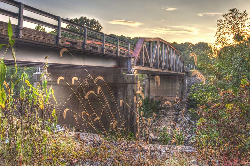
Bridge Over the Whitewater River
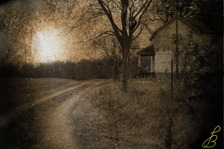
Missouri Morning
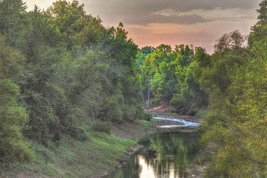
Whitewater River
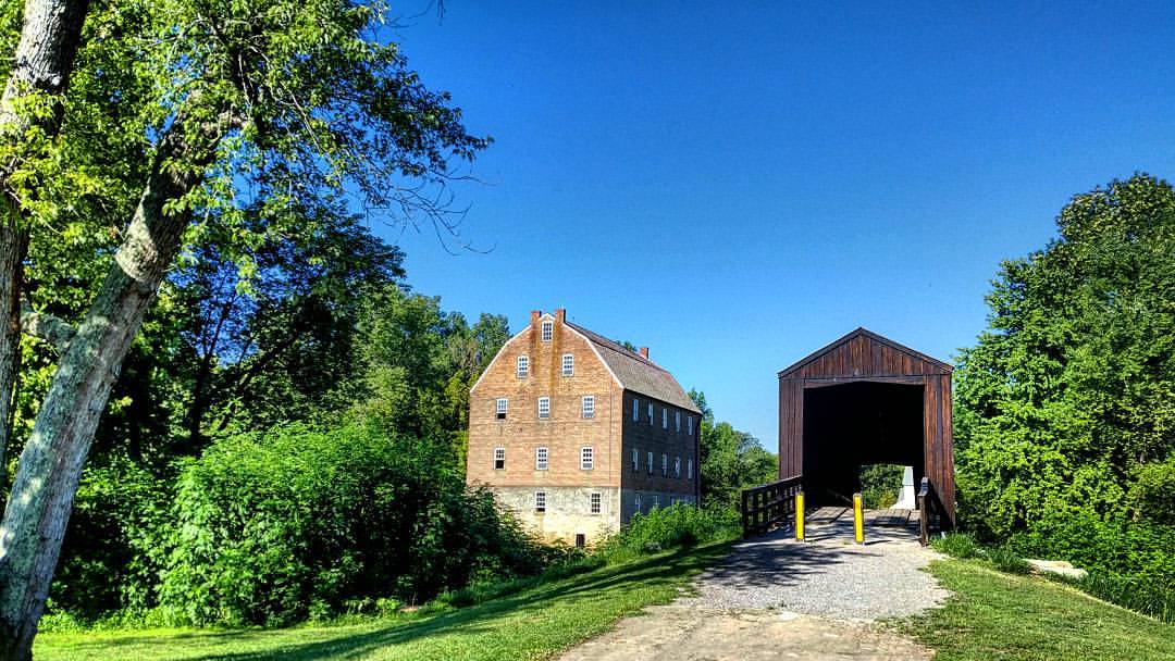
Bollinger Mill and Bridge

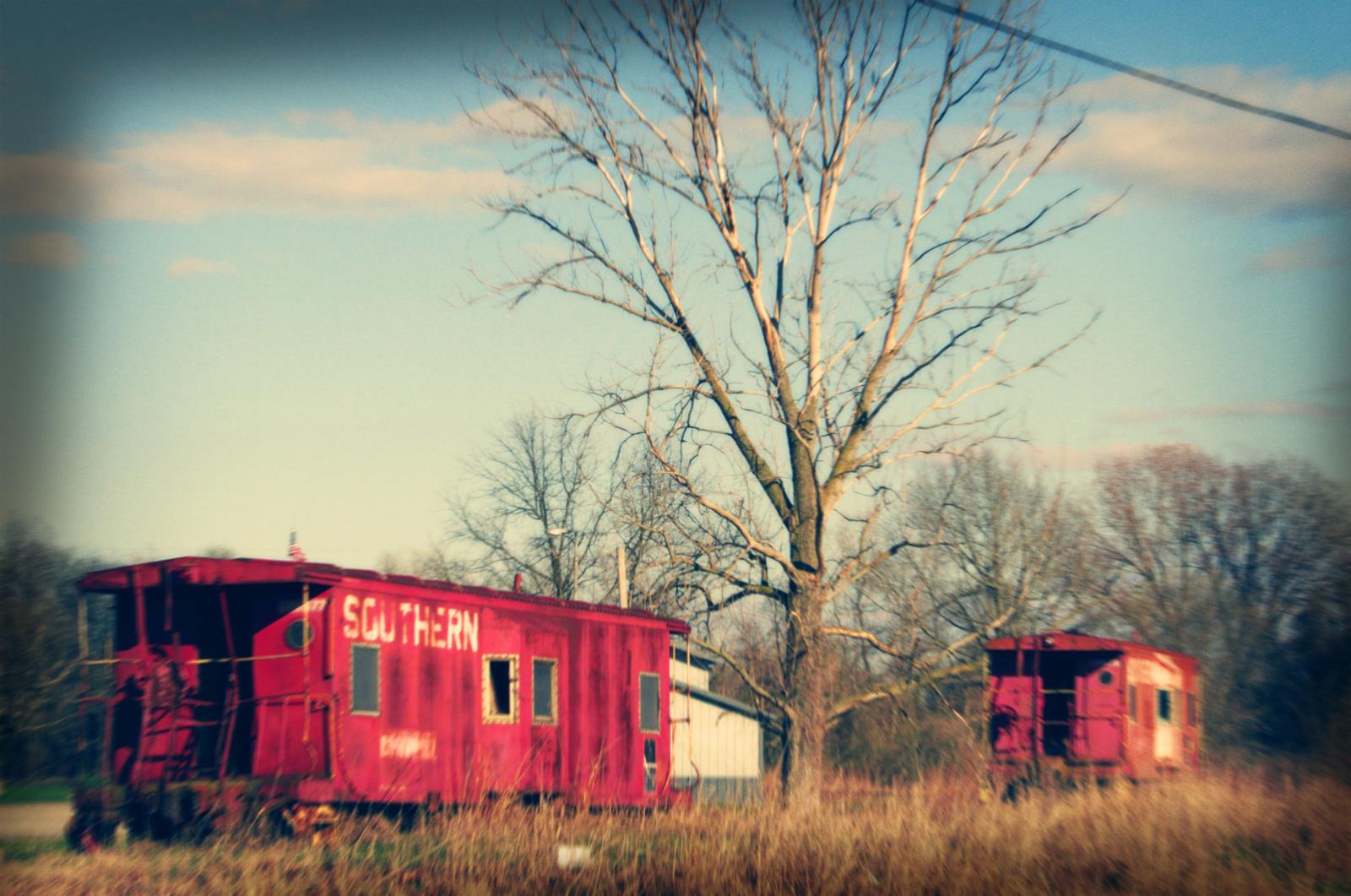
BNSF Train H-MEMGAL9-13A
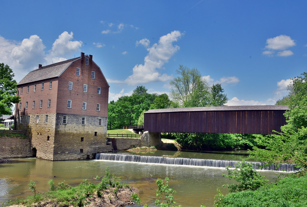
Bollinger Mill and Burfordville Covered Bridge
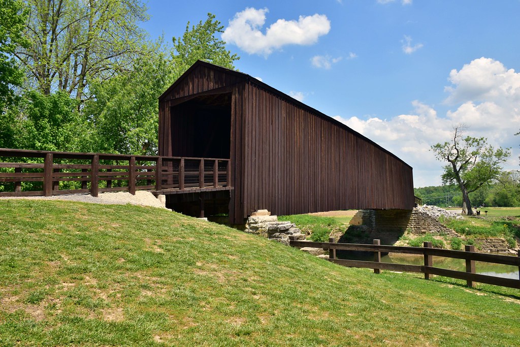
Burfordville Covered Bridge DSC_5494
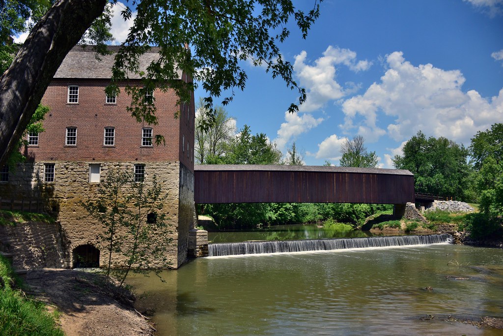
Burfordvillle Coverd Bridge and Bollinger Mill

Shagbark Hickory Tree near Lake Girardeau, in Cape Girardeau County in Southeast Missouri
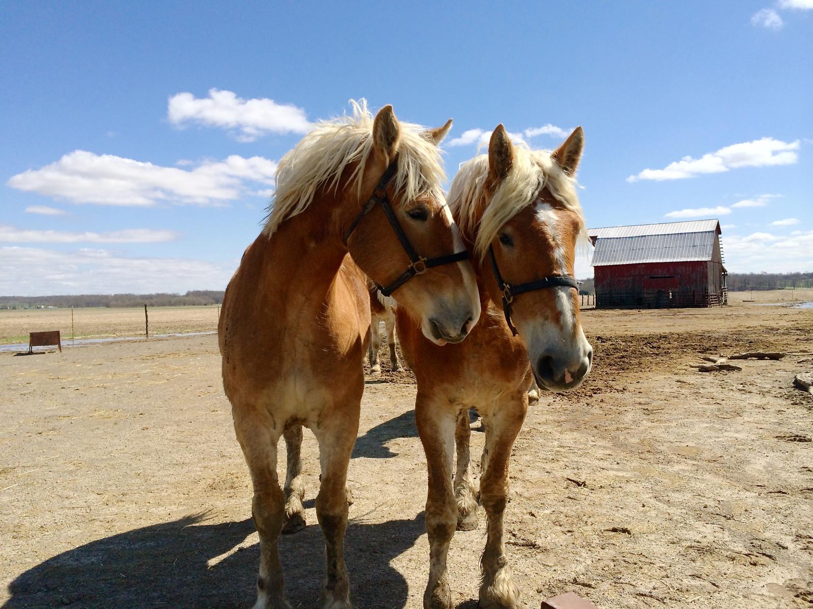
Southeastern MO
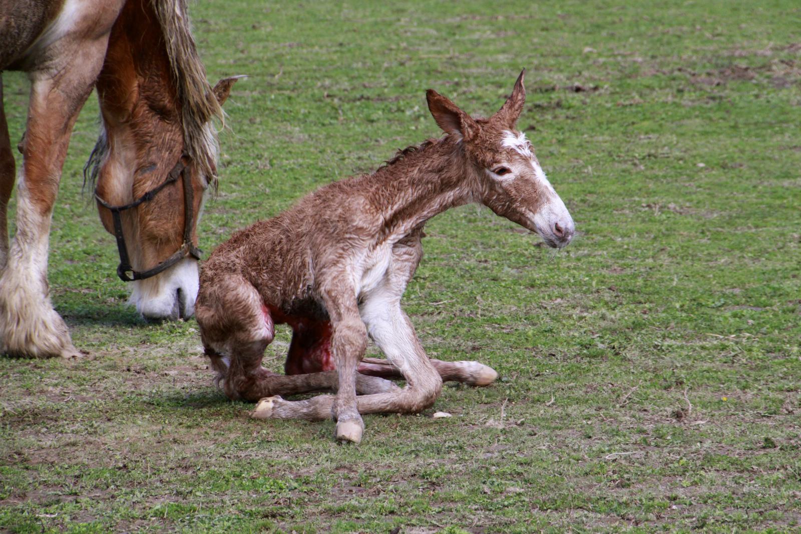
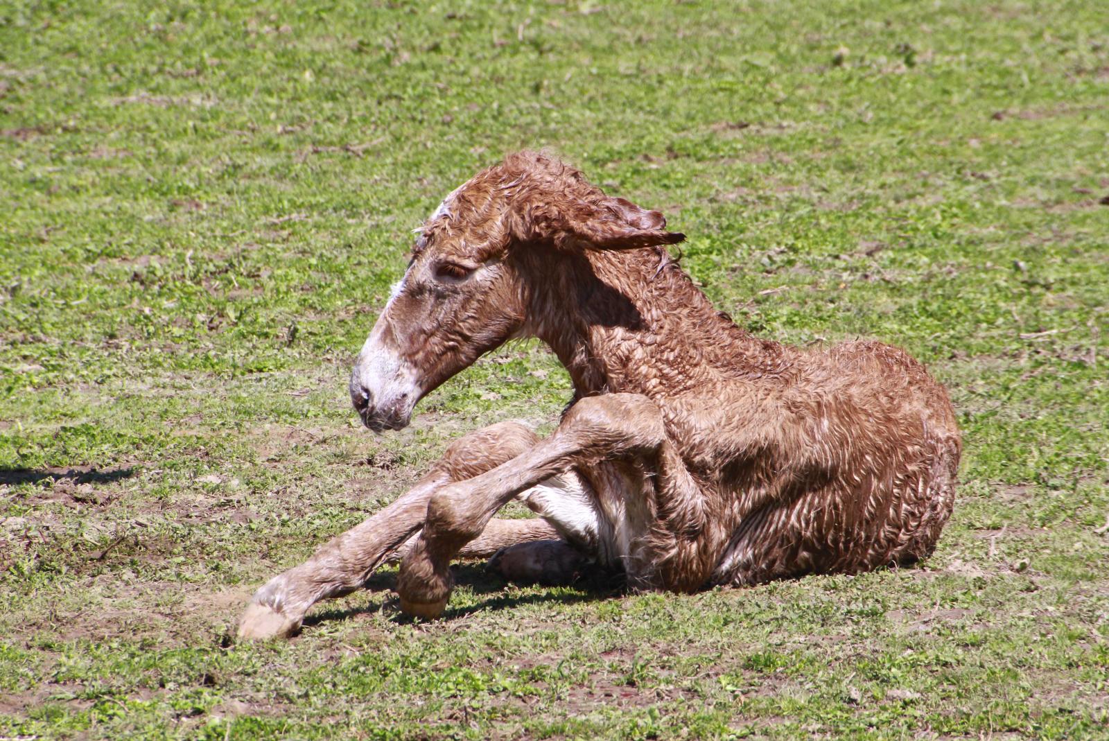
Brand new life

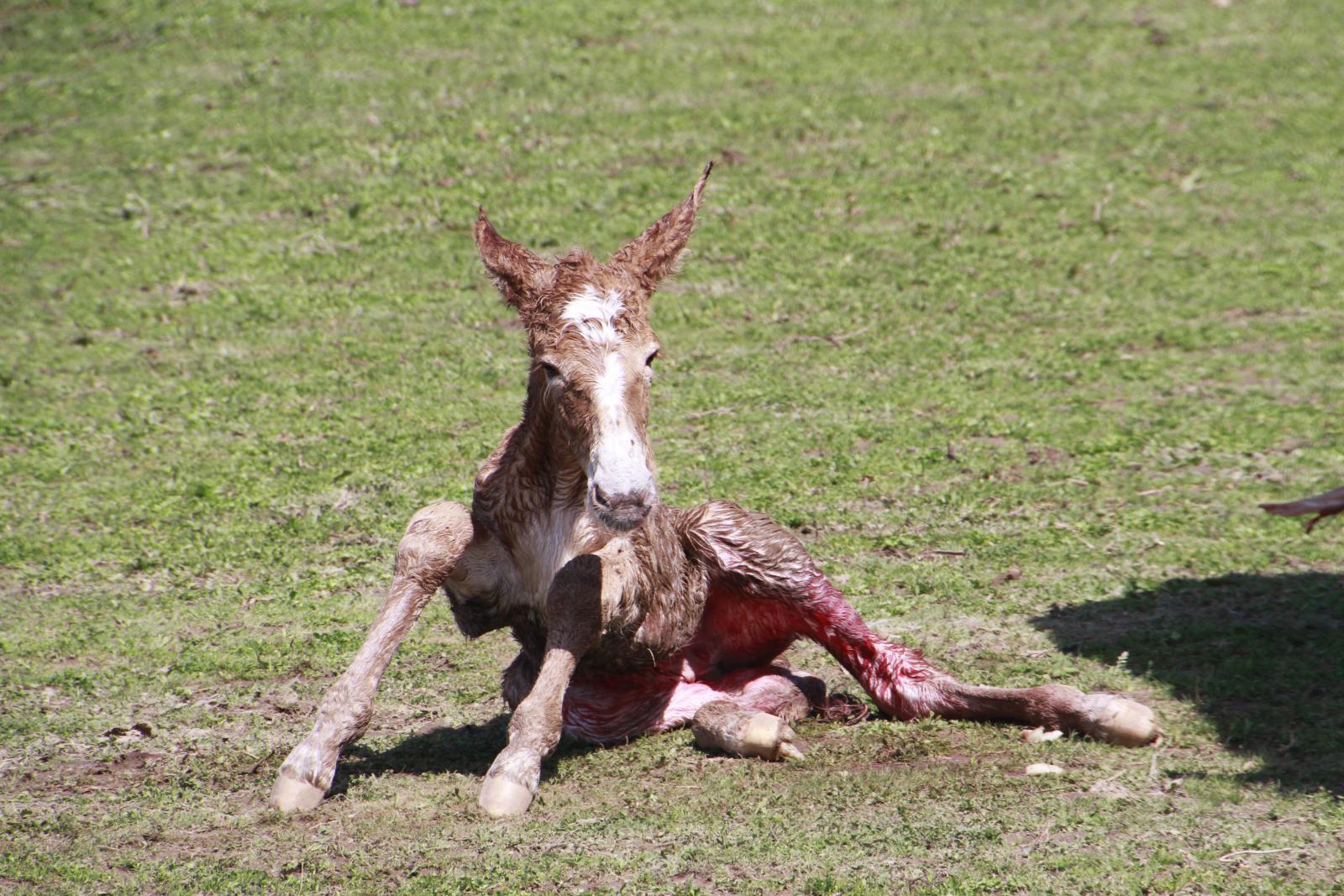
Brand new life
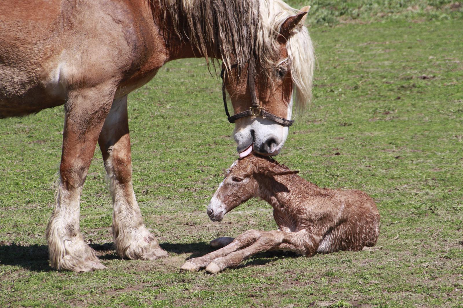
Brand new life

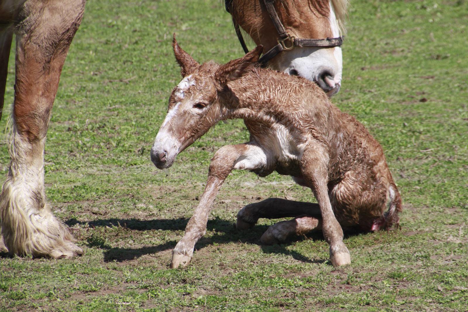
Brand new life
Brand new life
Brand new life
Brand new life
Southeastern MO

Quad Climber

1998 Chevrolet S-10
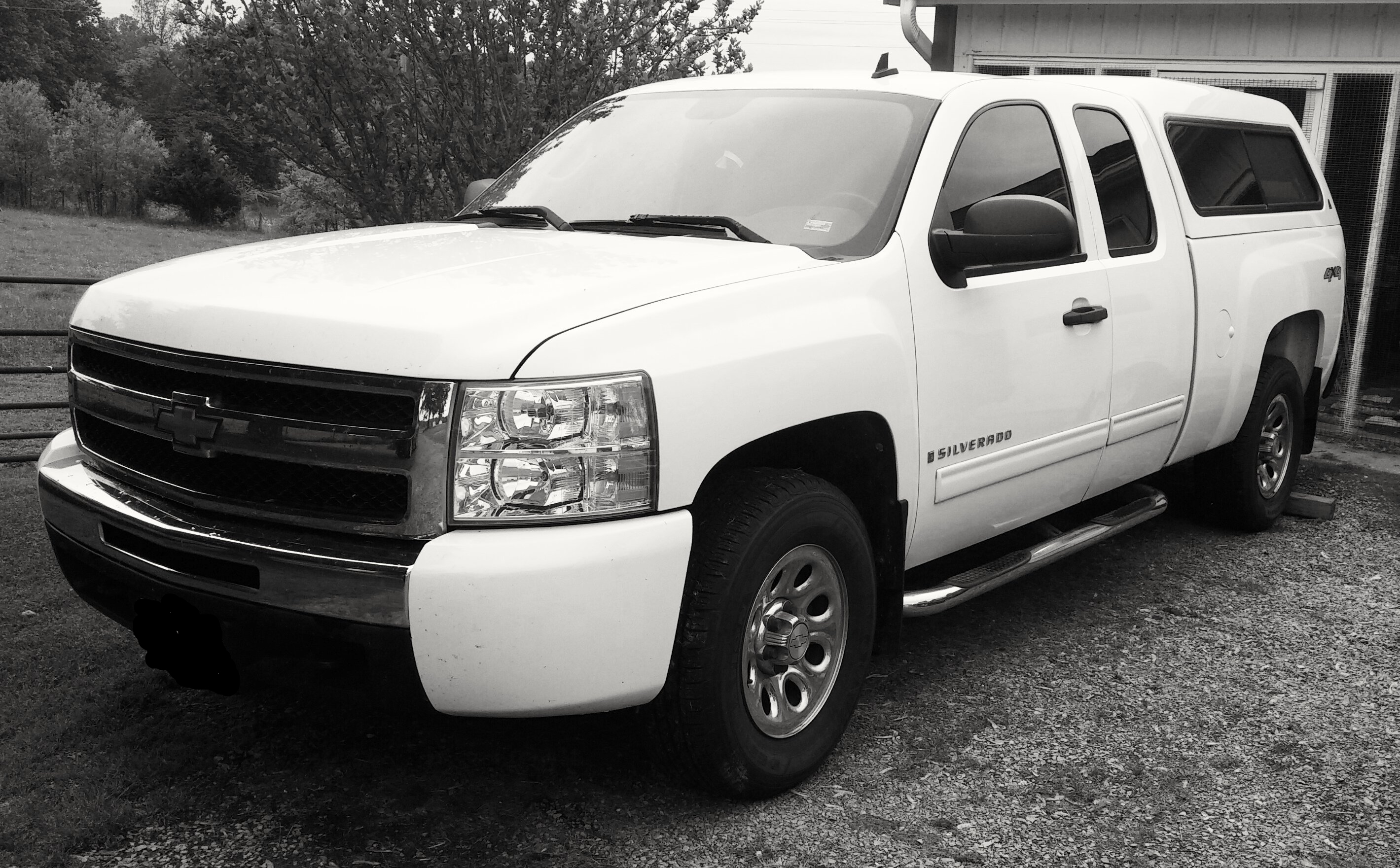
2009 Chevrolet Silverado LT
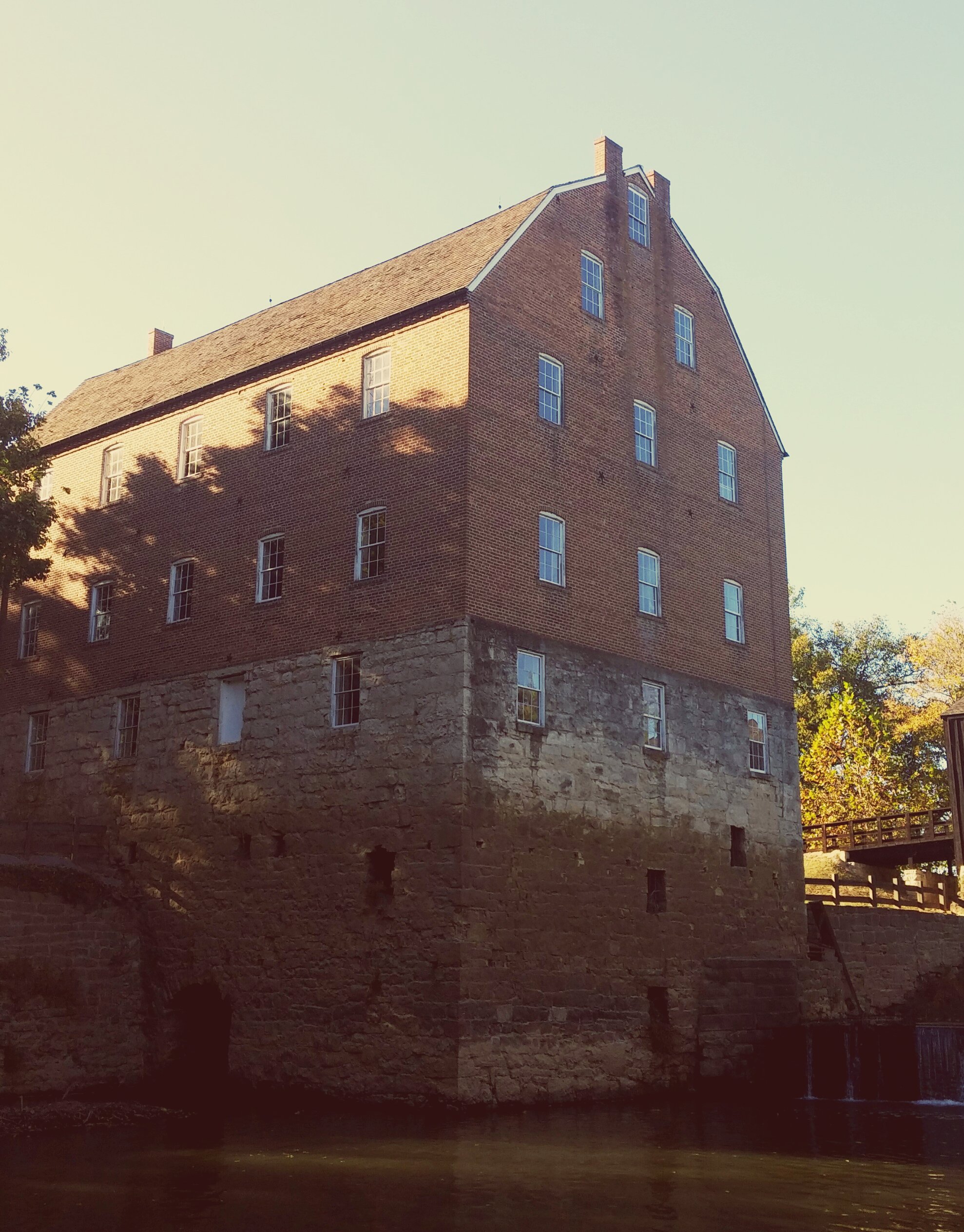
Bollinger Mill
Bollinger Mill and Covered Bridge

N/B BNSF #6860
Whitewater, MO, USA Karte
Suchen Sie einen anderen Ort
Nahe Plätze
Liberty Township, Missouri, USA
Co Rd, Whitewater, MO, USA
Welch Township, Missouri, USA
MO-25, Advance, MO, USA
Co Rd, Cape Girardeau, MO, USA
Hubble Township, Missouri, USA
Dutchtown, Missouri, USA
Chaffee, MO, USA
MO-77, Oran, MO, USA
Co Rd, Chaffee, MO, USA
Sylvania Township, MO, USA
Marble Hill, MO, USA
E Main St, Marble Hill, MO, USA
Jackson, Missouri, USA
E Main St, Jackson, MO, USA
Co Rd, Millersville, MO, USA
Millersville, MO, USA
Byrd Township, Missouri, USA
Lorance Township, MO, USA
Dalhousie Golf Club, Cords Way, Cape Girardeau, MO, USA
Letzte Suche
- Red Dog Mine, AK, USA Sonnenaufgang Sonnenuntergang Zeiten
- Am Bahnhof, Am bhf, Borken, Germany Sonnenaufgang Sonnenuntergang Zeiten
- 4th St E, Sonoma, CA, USA Sonnenaufgang Sonnenuntergang Zeiten
- Oakland Ave, Williamsport, PA, USA Sonnenaufgang Sonnenuntergang Zeiten
- Via Roma, Pieranica CR, Italien Sonnenaufgang Sonnenuntergang Zeiten
- Glockenturm, Grad, Dubrovnik, Kroatien Sonnenaufgang Sonnenuntergang Zeiten
- Trelew, Chubut Province, Argentina Sonnenaufgang Sonnenuntergang Zeiten
- Hartfords Bluff Cir, Mt Pleasant, SC, USA Sonnenaufgang Sonnenuntergang Zeiten
- Kita-ku, Kumamoto, Präfektur Kumamoto, Japan Sonnenaufgang Sonnenuntergang Zeiten
- Pingtan Island, Pingtan County, Fuzhou, China Sonnenaufgang Sonnenuntergang Zeiten