White Signal, NM, USA Sonnenaufgang Sonnenuntergang Zeiten
Location: USA > New Mexico > Silver Stadt >
Zeitzone:
America/Denver
Ortszeit:
2025-07-06 21:13:20
Länge:
-108.365402
Breite:
32.555321
Sonnenaufgang Heute:
06:12:47 AM
Sonnenuntergang Heute:
08:24:17 PM
Tageslänge heute:
14h 11m 30s
Sonnenaufgang morgen:
06:13:18 AM
Sonnenuntergang Morgen:
08:24:04 PM
Tageslänge von morgen:
14h 10m 46s
Alle Termine anzeigen
| Datum | Sonnenaufgang | Sonnenuntergang | Tageslänge |
|---|---|---|---|
| 2025-01-01 | 07:15:32 AM | 05:19:46 PM | 10h 4m 14s |
| 2025-01-02 | 07:15:41 AM | 05:20:32 PM | 10h 4m 51s |
| 2025-01-03 | 07:15:49 AM | 05:21:18 PM | 10h 5m 29s |
| 2025-01-04 | 07:15:55 AM | 05:22:06 PM | 10h 6m 11s |
| 2025-01-05 | 07:15:59 AM | 05:22:54 PM | 10h 6m 55s |
| 2025-01-06 | 07:16:01 AM | 05:23:44 PM | 10h 7m 43s |
| 2025-01-07 | 07:16:02 AM | 05:24:34 PM | 10h 8m 32s |
| 2025-01-08 | 07:16:01 AM | 05:25:25 PM | 10h 9m 24s |
| 2025-01-09 | 07:15:58 AM | 05:26:16 PM | 10h 10m 18s |
| 2025-01-10 | 07:15:53 AM | 05:27:08 PM | 10h 11m 15s |
| 2025-01-11 | 07:15:46 AM | 05:28:01 PM | 10h 12m 15s |
| 2025-01-12 | 07:15:38 AM | 05:28:54 PM | 10h 13m 16s |
| 2025-01-13 | 07:15:28 AM | 05:29:48 PM | 10h 14m 20s |
| 2025-01-14 | 07:15:16 AM | 05:30:42 PM | 10h 15m 26s |
| 2025-01-15 | 07:15:02 AM | 05:31:36 PM | 10h 16m 34s |
| 2025-01-16 | 07:14:47 AM | 05:32:31 PM | 10h 17m 44s |
| 2025-01-17 | 07:14:29 AM | 05:33:27 PM | 10h 18m 58s |
| 2025-01-18 | 07:14:10 AM | 05:34:22 PM | 10h 20m 12s |
| 2025-01-19 | 07:13:50 AM | 05:35:18 PM | 10h 21m 28s |
| 2025-01-20 | 07:13:27 AM | 05:36:14 PM | 10h 22m 47s |
| 2025-01-21 | 07:13:03 AM | 05:37:10 PM | 10h 24m 7s |
| 2025-01-22 | 07:12:37 AM | 05:38:07 PM | 10h 25m 30s |
| 2025-01-23 | 07:12:10 AM | 05:39:03 PM | 10h 26m 53s |
| 2025-01-24 | 07:11:40 AM | 05:40:00 PM | 10h 28m 20s |
| 2025-01-25 | 07:11:10 AM | 05:40:56 PM | 10h 29m 46s |
| 2025-01-26 | 07:10:37 AM | 05:41:53 PM | 10h 31m 16s |
| 2025-01-27 | 07:10:03 AM | 05:42:49 PM | 10h 32m 46s |
| 2025-01-28 | 07:09:28 AM | 05:43:46 PM | 10h 34m 18s |
| 2025-01-29 | 07:08:51 AM | 05:44:42 PM | 10h 35m 51s |
| 2025-01-30 | 07:08:12 AM | 05:45:38 PM | 10h 37m 26s |
| 2025-01-31 | 07:07:32 AM | 05:46:35 PM | 10h 39m 3s |
| 2025-02-01 | 07:06:50 AM | 05:47:31 PM | 10h 40m 41s |
| 2025-02-02 | 07:06:07 AM | 05:48:27 PM | 10h 42m 20s |
| 2025-02-03 | 07:05:22 AM | 05:49:22 PM | 10h 44m 0s |
| 2025-02-04 | 07:04:37 AM | 05:50:18 PM | 10h 45m 41s |
| 2025-02-05 | 07:03:49 AM | 05:51:13 PM | 10h 47m 24s |
| 2025-02-06 | 07:03:01 AM | 05:52:08 PM | 10h 49m 7s |
| 2025-02-07 | 07:02:11 AM | 05:53:02 PM | 10h 50m 51s |
| 2025-02-08 | 07:01:19 AM | 05:53:57 PM | 10h 52m 38s |
| 2025-02-09 | 07:00:27 AM | 05:54:51 PM | 10h 54m 24s |
| 2025-02-10 | 06:59:33 AM | 05:55:45 PM | 10h 56m 12s |
| 2025-02-11 | 06:58:38 AM | 05:56:38 PM | 10h 58m 0s |
| 2025-02-12 | 06:57:42 AM | 05:57:31 PM | 10h 59m 49s |
| 2025-02-13 | 06:56:45 AM | 05:58:24 PM | 11h 1m 39s |
| 2025-02-14 | 06:55:46 AM | 05:59:17 PM | 11h 3m 31s |
| 2025-02-15 | 06:54:47 AM | 06:00:09 PM | 11h 5m 22s |
| 2025-02-16 | 06:53:47 AM | 06:01:01 PM | 11h 7m 14s |
| 2025-02-17 | 06:52:45 AM | 06:01:52 PM | 11h 9m 7s |
| 2025-02-18 | 06:51:42 AM | 06:02:43 PM | 11h 11m 1s |
| 2025-02-19 | 06:50:39 AM | 06:03:34 PM | 11h 12m 55s |
| 2025-02-20 | 06:49:35 AM | 06:04:24 PM | 11h 14m 49s |
| 2025-02-21 | 06:48:29 AM | 06:05:14 PM | 11h 16m 45s |
| 2025-02-22 | 06:47:23 AM | 06:06:04 PM | 11h 18m 41s |
| 2025-02-23 | 06:46:16 AM | 06:06:53 PM | 11h 20m 37s |
| 2025-02-24 | 06:45:08 AM | 06:07:42 PM | 11h 22m 34s |
| 2025-02-25 | 06:43:59 AM | 06:08:31 PM | 11h 24m 32s |
| 2025-02-26 | 06:42:50 AM | 06:09:19 PM | 11h 26m 29s |
| 2025-02-27 | 06:41:40 AM | 06:10:07 PM | 11h 28m 27s |
| 2025-02-28 | 06:40:29 AM | 06:10:54 PM | 11h 30m 25s |
| 2025-03-01 | 06:39:18 AM | 06:11:41 PM | 11h 32m 23s |
| 2025-03-02 | 06:38:06 AM | 06:12:28 PM | 11h 34m 22s |
| 2025-03-03 | 06:36:53 AM | 06:13:15 PM | 11h 36m 22s |
| 2025-03-04 | 06:35:40 AM | 06:14:01 PM | 11h 38m 21s |
| 2025-03-05 | 06:34:26 AM | 06:14:47 PM | 11h 40m 21s |
| 2025-03-06 | 06:33:11 AM | 06:15:33 PM | 11h 42m 22s |
| 2025-03-07 | 06:31:57 AM | 06:16:18 PM | 11h 44m 21s |
| 2025-03-08 | 06:30:41 AM | 06:17:03 PM | 11h 46m 22s |
| 2025-03-09 | 07:29:29 AM | 07:17:46 PM | 11h 48m 17s |
| 2025-03-10 | 07:28:13 AM | 07:18:31 PM | 11h 50m 18s |
| 2025-03-11 | 07:26:56 AM | 07:19:15 PM | 11h 52m 19s |
| 2025-03-12 | 07:25:40 AM | 07:20:00 PM | 11h 54m 20s |
| 2025-03-13 | 07:24:23 AM | 07:20:43 PM | 11h 56m 20s |
| 2025-03-14 | 07:23:05 AM | 07:21:27 PM | 11h 58m 22s |
| 2025-03-15 | 07:21:48 AM | 07:22:11 PM | 12h 0m 23s |
| 2025-03-16 | 07:20:30 AM | 07:22:54 PM | 12h 2m 24s |
| 2025-03-17 | 07:19:12 AM | 07:23:37 PM | 12h 4m 25s |
| 2025-03-18 | 07:17:54 AM | 07:24:20 PM | 12h 6m 26s |
| 2025-03-19 | 07:16:36 AM | 07:25:03 PM | 12h 8m 27s |
| 2025-03-20 | 07:15:17 AM | 07:25:46 PM | 12h 10m 29s |
| 2025-03-21 | 07:13:59 AM | 07:26:28 PM | 12h 12m 29s |
| 2025-03-22 | 07:12:40 AM | 07:27:11 PM | 12h 14m 31s |
| 2025-03-23 | 07:11:22 AM | 07:27:53 PM | 12h 16m 31s |
| 2025-03-24 | 07:10:04 AM | 07:28:35 PM | 12h 18m 31s |
| 2025-03-25 | 07:08:45 AM | 07:29:18 PM | 12h 20m 33s |
| 2025-03-26 | 07:07:27 AM | 07:30:00 PM | 12h 22m 33s |
| 2025-03-27 | 07:06:09 AM | 07:30:42 PM | 12h 24m 33s |
| 2025-03-28 | 07:04:50 AM | 07:31:24 PM | 12h 26m 34s |
| 2025-03-29 | 07:03:32 AM | 07:32:06 PM | 12h 28m 34s |
| 2025-03-30 | 07:02:15 AM | 07:32:48 PM | 12h 30m 33s |
| 2025-03-31 | 07:00:57 AM | 07:33:30 PM | 12h 32m 33s |
| 2025-04-01 | 06:59:40 AM | 07:34:12 PM | 12h 34m 32s |
| 2025-04-02 | 06:58:23 AM | 07:34:54 PM | 12h 36m 31s |
| 2025-04-03 | 06:57:06 AM | 07:35:36 PM | 12h 38m 30s |
| 2025-04-04 | 06:55:50 AM | 07:36:18 PM | 12h 40m 28s |
| 2025-04-05 | 06:54:34 AM | 07:37:00 PM | 12h 42m 26s |
| 2025-04-06 | 06:53:18 AM | 07:37:42 PM | 12h 44m 24s |
| 2025-04-07 | 06:52:03 AM | 07:38:24 PM | 12h 46m 21s |
| 2025-04-08 | 06:50:48 AM | 07:39:06 PM | 12h 48m 18s |
| 2025-04-09 | 06:49:34 AM | 07:39:48 PM | 12h 50m 14s |
| 2025-04-10 | 06:48:20 AM | 07:40:30 PM | 12h 52m 10s |
| 2025-04-11 | 06:47:06 AM | 07:41:13 PM | 12h 54m 7s |
| 2025-04-12 | 06:45:54 AM | 07:41:55 PM | 12h 56m 1s |
| 2025-04-13 | 06:44:41 AM | 07:42:38 PM | 12h 57m 57s |
| 2025-04-14 | 06:43:30 AM | 07:43:20 PM | 12h 59m 50s |
| 2025-04-15 | 06:42:19 AM | 07:44:03 PM | 13h 1m 44s |
| 2025-04-16 | 06:41:09 AM | 07:44:46 PM | 13h 3m 37s |
| 2025-04-17 | 06:39:59 AM | 07:45:29 PM | 13h 5m 30s |
| 2025-04-18 | 06:38:50 AM | 07:46:11 PM | 13h 7m 21s |
| 2025-04-19 | 06:37:42 AM | 07:46:54 PM | 13h 9m 12s |
| 2025-04-20 | 06:36:35 AM | 07:47:38 PM | 13h 11m 3s |
| 2025-04-21 | 06:35:28 AM | 07:48:21 PM | 13h 12m 53s |
| 2025-04-22 | 06:34:23 AM | 07:49:04 PM | 13h 14m 41s |
| 2025-04-23 | 06:33:18 AM | 07:49:47 PM | 13h 16m 29s |
| 2025-04-24 | 06:32:14 AM | 07:50:31 PM | 13h 18m 17s |
| 2025-04-25 | 06:31:11 AM | 07:51:14 PM | 13h 20m 3s |
| 2025-04-26 | 06:30:09 AM | 07:51:58 PM | 13h 21m 49s |
| 2025-04-27 | 06:29:07 AM | 07:52:42 PM | 13h 23m 35s |
| 2025-04-28 | 06:28:07 AM | 07:53:25 PM | 13h 25m 18s |
| 2025-04-29 | 06:27:08 AM | 07:54:09 PM | 13h 27m 1s |
| 2025-04-30 | 06:26:10 AM | 07:54:53 PM | 13h 28m 43s |
| 2025-05-01 | 06:25:13 AM | 07:55:37 PM | 13h 30m 24s |
| 2025-05-02 | 06:24:17 AM | 07:56:20 PM | 13h 32m 3s |
| 2025-05-03 | 06:23:22 AM | 07:57:04 PM | 13h 33m 42s |
| 2025-05-04 | 06:22:28 AM | 07:57:48 PM | 13h 35m 20s |
| 2025-05-05 | 06:21:36 AM | 07:58:32 PM | 13h 36m 56s |
| 2025-05-06 | 06:20:44 AM | 07:59:15 PM | 13h 38m 31s |
| 2025-05-07 | 06:19:54 AM | 07:59:59 PM | 13h 40m 5s |
| 2025-05-08 | 06:19:05 AM | 08:00:42 PM | 13h 41m 37s |
| 2025-05-09 | 06:18:18 AM | 08:01:26 PM | 13h 43m 8s |
| 2025-05-10 | 06:17:31 AM | 08:02:09 PM | 13h 44m 38s |
| 2025-05-11 | 06:16:46 AM | 08:02:52 PM | 13h 46m 6s |
| 2025-05-12 | 06:16:02 AM | 08:03:35 PM | 13h 47m 33s |
| 2025-05-13 | 06:15:20 AM | 08:04:18 PM | 13h 48m 58s |
| 2025-05-14 | 06:14:39 AM | 08:05:00 PM | 13h 50m 21s |
| 2025-05-15 | 06:13:59 AM | 08:05:43 PM | 13h 51m 44s |
| 2025-05-16 | 06:13:20 AM | 08:06:25 PM | 13h 53m 5s |
| 2025-05-17 | 06:12:43 AM | 08:07:06 PM | 13h 54m 23s |
| 2025-05-18 | 06:12:08 AM | 08:07:48 PM | 13h 55m 40s |
| 2025-05-19 | 06:11:34 AM | 08:08:29 PM | 13h 56m 55s |
| 2025-05-20 | 06:11:01 AM | 08:09:10 PM | 13h 58m 9s |
| 2025-05-21 | 06:10:30 AM | 08:09:50 PM | 13h 59m 20s |
| 2025-05-22 | 06:10:00 AM | 08:10:30 PM | 14h 0m 30s |
| 2025-05-23 | 06:09:32 AM | 08:11:09 PM | 14h 1m 37s |
| 2025-05-24 | 06:09:05 AM | 08:11:48 PM | 14h 2m 43s |
| 2025-05-25 | 06:08:40 AM | 08:12:26 PM | 14h 3m 46s |
| 2025-05-26 | 06:08:16 AM | 08:13:04 PM | 14h 4m 48s |
| 2025-05-27 | 06:07:54 AM | 08:13:42 PM | 14h 5m 48s |
| 2025-05-28 | 06:07:33 AM | 08:14:18 PM | 14h 6m 45s |
| 2025-05-29 | 06:07:14 AM | 08:14:54 PM | 14h 7m 40s |
| 2025-05-30 | 06:06:56 AM | 08:15:29 PM | 14h 8m 33s |
| 2025-05-31 | 06:06:40 AM | 08:16:04 PM | 14h 9m 24s |
| 2025-06-01 | 06:06:25 AM | 08:16:38 PM | 14h 10m 13s |
| 2025-06-02 | 06:06:12 AM | 08:17:11 PM | 14h 10m 59s |
| 2025-06-03 | 06:06:01 AM | 08:17:43 PM | 14h 11m 42s |
| 2025-06-04 | 06:05:51 AM | 08:18:14 PM | 14h 12m 23s |
| 2025-06-05 | 06:05:42 AM | 08:18:44 PM | 14h 13m 2s |
| 2025-06-06 | 06:05:35 AM | 08:19:14 PM | 14h 13m 39s |
| 2025-06-07 | 06:05:30 AM | 08:19:42 PM | 14h 14m 12s |
| 2025-06-08 | 06:05:26 AM | 08:20:10 PM | 14h 14m 44s |
| 2025-06-09 | 06:05:23 AM | 08:20:36 PM | 14h 15m 13s |
| 2025-06-10 | 06:05:22 AM | 08:21:02 PM | 14h 15m 40s |
| 2025-06-11 | 06:05:23 AM | 08:21:26 PM | 14h 16m 3s |
| 2025-06-12 | 06:05:25 AM | 08:21:49 PM | 14h 16m 24s |
| 2025-06-13 | 06:05:28 AM | 08:22:11 PM | 14h 16m 43s |
| 2025-06-14 | 06:05:33 AM | 08:22:32 PM | 14h 16m 59s |
| 2025-06-15 | 06:05:39 AM | 08:22:51 PM | 14h 17m 12s |
| 2025-06-16 | 06:05:47 AM | 08:23:10 PM | 14h 17m 23s |
| 2025-06-17 | 06:05:56 AM | 08:23:27 PM | 14h 17m 31s |
| 2025-06-18 | 06:06:06 AM | 08:23:43 PM | 14h 17m 37s |
| 2025-06-19 | 06:06:18 AM | 08:23:57 PM | 14h 17m 39s |
| 2025-06-20 | 06:06:31 AM | 08:24:10 PM | 14h 17m 39s |
| 2025-06-21 | 06:06:45 AM | 08:24:22 PM | 14h 17m 37s |
| 2025-06-22 | 06:07:01 AM | 08:24:32 PM | 14h 17m 31s |
| 2025-06-23 | 06:07:18 AM | 08:24:41 PM | 14h 17m 23s |
| 2025-06-24 | 06:07:36 AM | 08:24:49 PM | 14h 17m 13s |
| 2025-06-25 | 06:07:55 AM | 08:24:55 PM | 14h 17m 0s |
| 2025-06-26 | 06:08:15 AM | 08:25:00 PM | 14h 16m 45s |
| 2025-06-27 | 06:08:36 AM | 08:25:03 PM | 14h 16m 27s |
| 2025-06-28 | 06:08:59 AM | 08:25:04 PM | 14h 16m 5s |
| 2025-06-29 | 06:09:22 AM | 08:25:04 PM | 14h 15m 42s |
| 2025-06-30 | 06:09:47 AM | 08:25:03 PM | 14h 15m 16s |
| 2025-07-01 | 06:10:13 AM | 08:25:00 PM | 14h 14m 47s |
| 2025-07-02 | 06:10:39 AM | 08:24:56 PM | 14h 14m 17s |
| 2025-07-03 | 06:11:07 AM | 08:24:49 PM | 14h 13m 42s |
| 2025-07-04 | 06:11:35 AM | 08:24:42 PM | 14h 13m 7s |
| 2025-07-05 | 06:12:04 AM | 08:24:33 PM | 14h 12m 29s |
| 2025-07-06 | 06:12:34 AM | 08:24:22 PM | 14h 11m 48s |
| 2025-07-07 | 06:13:05 AM | 08:24:10 PM | 14h 11m 5s |
| 2025-07-08 | 06:13:37 AM | 08:23:56 PM | 14h 10m 19s |
| 2025-07-09 | 06:14:09 AM | 08:23:40 PM | 14h 9m 31s |
| 2025-07-10 | 06:14:42 AM | 08:23:23 PM | 14h 8m 41s |
| 2025-07-11 | 06:15:16 AM | 08:23:05 PM | 14h 7m 49s |
| 2025-07-12 | 06:15:50 AM | 08:22:44 PM | 14h 6m 54s |
| 2025-07-13 | 06:16:25 AM | 08:22:23 PM | 14h 5m 58s |
| 2025-07-14 | 06:17:01 AM | 08:21:59 PM | 14h 4m 58s |
| 2025-07-15 | 06:17:37 AM | 08:21:35 PM | 14h 3m 58s |
| 2025-07-16 | 06:18:13 AM | 08:21:08 PM | 14h 2m 55s |
| 2025-07-17 | 06:18:50 AM | 08:20:40 PM | 14h 1m 50s |
| 2025-07-18 | 06:19:27 AM | 08:20:11 PM | 14h 0m 44s |
| 2025-07-19 | 06:20:05 AM | 08:19:40 PM | 13h 59m 35s |
| 2025-07-20 | 06:20:43 AM | 08:19:07 PM | 13h 58m 24s |
| 2025-07-21 | 06:21:22 AM | 08:18:33 PM | 13h 57m 11s |
| 2025-07-22 | 06:22:01 AM | 08:17:58 PM | 13h 55m 57s |
| 2025-07-23 | 06:22:40 AM | 08:17:21 PM | 13h 54m 41s |
| 2025-07-24 | 06:23:19 AM | 08:16:43 PM | 13h 53m 24s |
| 2025-07-25 | 06:23:59 AM | 08:16:03 PM | 13h 52m 4s |
| 2025-07-26 | 06:24:38 AM | 08:15:22 PM | 13h 50m 44s |
| 2025-07-27 | 06:25:18 AM | 08:14:39 PM | 13h 49m 21s |
| 2025-07-28 | 06:25:59 AM | 08:13:55 PM | 13h 47m 56s |
| 2025-07-29 | 06:26:39 AM | 08:13:10 PM | 13h 46m 31s |
| 2025-07-30 | 06:27:19 AM | 08:12:24 PM | 13h 45m 5s |
| 2025-07-31 | 06:28:00 AM | 08:11:36 PM | 13h 43m 36s |
| 2025-08-01 | 06:28:40 AM | 08:10:46 PM | 13h 42m 6s |
| 2025-08-02 | 06:29:21 AM | 08:09:56 PM | 13h 40m 35s |
| 2025-08-03 | 06:30:02 AM | 08:09:04 PM | 13h 39m 2s |
| 2025-08-04 | 06:30:42 AM | 08:08:11 PM | 13h 37m 29s |
| 2025-08-05 | 06:31:23 AM | 08:07:17 PM | 13h 35m 54s |
| 2025-08-06 | 06:32:04 AM | 08:06:22 PM | 13h 34m 18s |
| 2025-08-07 | 06:32:44 AM | 08:05:25 PM | 13h 32m 41s |
| 2025-08-08 | 06:33:25 AM | 08:04:28 PM | 13h 31m 3s |
| 2025-08-09 | 06:34:05 AM | 08:03:29 PM | 13h 29m 24s |
| 2025-08-10 | 06:34:46 AM | 08:02:29 PM | 13h 27m 43s |
| 2025-08-11 | 06:35:26 AM | 08:01:29 PM | 13h 26m 3s |
| 2025-08-12 | 06:36:07 AM | 08:00:27 PM | 13h 24m 20s |
| 2025-08-13 | 06:36:47 AM | 07:59:24 PM | 13h 22m 37s |
| 2025-08-14 | 06:37:27 AM | 07:58:20 PM | 13h 20m 53s |
| 2025-08-15 | 06:38:07 AM | 07:57:15 PM | 13h 19m 8s |
| 2025-08-16 | 06:38:47 AM | 07:56:10 PM | 13h 17m 23s |
| 2025-08-17 | 06:39:27 AM | 07:55:03 PM | 13h 15m 36s |
| 2025-08-18 | 06:40:07 AM | 07:53:56 PM | 13h 13m 49s |
| 2025-08-19 | 06:40:46 AM | 07:52:47 PM | 13h 12m 1s |
| 2025-08-20 | 06:41:26 AM | 07:51:38 PM | 13h 10m 12s |
| 2025-08-21 | 06:42:05 AM | 07:50:28 PM | 13h 8m 23s |
| 2025-08-22 | 06:42:44 AM | 07:49:17 PM | 13h 6m 33s |
| 2025-08-23 | 06:43:23 AM | 07:48:06 PM | 13h 4m 43s |
| 2025-08-24 | 06:44:02 AM | 07:46:54 PM | 13h 2m 52s |
| 2025-08-25 | 06:44:41 AM | 07:45:41 PM | 13h 1m 0s |
| 2025-08-26 | 06:45:20 AM | 07:44:28 PM | 12h 59m 8s |
| 2025-08-27 | 06:45:59 AM | 07:43:13 PM | 12h 57m 14s |
| 2025-08-28 | 06:46:37 AM | 07:41:59 PM | 12h 55m 22s |
| 2025-08-29 | 06:47:16 AM | 07:40:43 PM | 12h 53m 27s |
| 2025-08-30 | 06:47:54 AM | 07:39:28 PM | 12h 51m 34s |
| 2025-08-31 | 06:48:32 AM | 07:38:11 PM | 12h 49m 39s |
| 2025-09-01 | 06:49:10 AM | 07:36:55 PM | 12h 47m 45s |
| 2025-09-02 | 06:49:49 AM | 07:35:37 PM | 12h 45m 48s |
| 2025-09-03 | 06:50:27 AM | 07:34:19 PM | 12h 43m 52s |
| 2025-09-04 | 06:51:04 AM | 07:33:01 PM | 12h 41m 57s |
| 2025-09-05 | 06:51:42 AM | 07:31:43 PM | 12h 40m 1s |
| 2025-09-06 | 06:52:20 AM | 07:30:24 PM | 12h 38m 4s |
| 2025-09-07 | 06:52:58 AM | 07:29:05 PM | 12h 36m 7s |
| 2025-09-08 | 06:53:36 AM | 07:27:45 PM | 12h 34m 9s |
| 2025-09-09 | 06:54:14 AM | 07:26:26 PM | 12h 32m 12s |
| 2025-09-10 | 06:54:51 AM | 07:25:06 PM | 12h 30m 15s |
| 2025-09-11 | 06:55:29 AM | 07:23:45 PM | 12h 28m 16s |
| 2025-09-12 | 06:56:07 AM | 07:22:25 PM | 12h 26m 18s |
| 2025-09-13 | 06:56:45 AM | 07:21:04 PM | 12h 24m 19s |
| 2025-09-14 | 06:57:22 AM | 07:19:44 PM | 12h 22m 22s |
| 2025-09-15 | 06:58:00 AM | 07:18:23 PM | 12h 20m 23s |
| 2025-09-16 | 06:58:38 AM | 07:17:02 PM | 12h 18m 24s |
| 2025-09-17 | 06:59:16 AM | 07:15:41 PM | 12h 16m 25s |
| 2025-09-18 | 06:59:54 AM | 07:14:20 PM | 12h 14m 26s |
| 2025-09-19 | 07:00:33 AM | 07:13:00 PM | 12h 12m 27s |
| 2025-09-20 | 07:01:11 AM | 07:11:39 PM | 12h 10m 28s |
| 2025-09-21 | 07:01:49 AM | 07:10:18 PM | 12h 8m 29s |
| 2025-09-22 | 07:02:28 AM | 07:08:57 PM | 12h 6m 29s |
| 2025-09-23 | 07:03:07 AM | 07:07:37 PM | 12h 4m 30s |
| 2025-09-24 | 07:03:45 AM | 07:06:16 PM | 12h 2m 31s |
| 2025-09-25 | 07:04:24 AM | 07:04:56 PM | 12h 0m 32s |
| 2025-09-26 | 07:05:04 AM | 07:03:36 PM | 11h 58m 32s |
| 2025-09-27 | 07:05:43 AM | 07:02:16 PM | 11h 56m 33s |
| 2025-09-28 | 07:06:23 AM | 07:00:57 PM | 11h 54m 34s |
| 2025-09-29 | 07:07:03 AM | 06:59:38 PM | 11h 52m 35s |
| 2025-09-30 | 07:07:43 AM | 06:58:19 PM | 11h 50m 36s |
| 2025-10-01 | 07:08:23 AM | 06:57:00 PM | 11h 48m 37s |
| 2025-10-02 | 07:09:04 AM | 06:55:42 PM | 11h 46m 38s |
| 2025-10-03 | 07:09:44 AM | 06:54:24 PM | 11h 44m 40s |
| 2025-10-04 | 07:10:26 AM | 06:53:07 PM | 11h 42m 41s |
| 2025-10-05 | 07:11:07 AM | 06:51:50 PM | 11h 40m 43s |
| 2025-10-06 | 07:11:49 AM | 06:50:34 PM | 11h 38m 45s |
| 2025-10-07 | 07:12:31 AM | 06:49:18 PM | 11h 36m 47s |
| 2025-10-08 | 07:13:13 AM | 06:48:03 PM | 11h 34m 50s |
| 2025-10-09 | 07:13:56 AM | 06:46:48 PM | 11h 32m 52s |
| 2025-10-10 | 07:14:39 AM | 06:45:34 PM | 11h 30m 55s |
| 2025-10-11 | 07:15:22 AM | 06:44:21 PM | 11h 28m 59s |
| 2025-10-12 | 07:16:06 AM | 06:43:08 PM | 11h 27m 2s |
| 2025-10-13 | 07:16:50 AM | 06:41:56 PM | 11h 25m 6s |
| 2025-10-14 | 07:17:34 AM | 06:40:45 PM | 11h 23m 11s |
| 2025-10-15 | 07:18:19 AM | 06:39:34 PM | 11h 21m 15s |
| 2025-10-16 | 07:19:04 AM | 06:38:25 PM | 11h 19m 21s |
| 2025-10-17 | 07:19:50 AM | 06:37:16 PM | 11h 17m 26s |
| 2025-10-18 | 07:20:36 AM | 06:36:08 PM | 11h 15m 32s |
| 2025-10-19 | 07:21:22 AM | 06:35:01 PM | 11h 13m 39s |
| 2025-10-20 | 07:22:09 AM | 06:33:55 PM | 11h 11m 46s |
| 2025-10-21 | 07:22:56 AM | 06:32:49 PM | 11h 9m 53s |
| 2025-10-22 | 07:23:43 AM | 06:31:45 PM | 11h 8m 2s |
| 2025-10-23 | 07:24:31 AM | 06:30:42 PM | 11h 6m 11s |
| 2025-10-24 | 07:25:19 AM | 06:29:40 PM | 11h 4m 21s |
| 2025-10-25 | 07:26:08 AM | 06:28:38 PM | 11h 2m 30s |
| 2025-10-26 | 07:26:57 AM | 06:27:38 PM | 11h 0m 41s |
| 2025-10-27 | 07:27:46 AM | 06:26:39 PM | 10h 58m 53s |
| 2025-10-28 | 07:28:36 AM | 06:25:42 PM | 10h 57m 6s |
| 2025-10-29 | 07:29:26 AM | 06:24:45 PM | 10h 55m 19s |
| 2025-10-30 | 07:30:17 AM | 06:23:50 PM | 10h 53m 33s |
| 2025-10-31 | 07:31:08 AM | 06:22:56 PM | 10h 51m 48s |
| 2025-11-01 | 07:31:59 AM | 06:22:03 PM | 10h 50m 4s |
| 2025-11-02 | 06:32:52 AM | 05:21:09 PM | 10h 48m 17s |
| 2025-11-03 | 06:33:44 AM | 05:20:19 PM | 10h 46m 35s |
| 2025-11-04 | 06:34:36 AM | 05:19:30 PM | 10h 44m 54s |
| 2025-11-05 | 06:35:28 AM | 05:18:43 PM | 10h 43m 15s |
| 2025-11-06 | 06:36:21 AM | 05:17:57 PM | 10h 41m 36s |
| 2025-11-07 | 06:37:14 AM | 05:17:12 PM | 10h 39m 58s |
| 2025-11-08 | 06:38:07 AM | 05:16:29 PM | 10h 38m 22s |
| 2025-11-09 | 06:39:00 AM | 05:15:48 PM | 10h 36m 48s |
| 2025-11-10 | 06:39:54 AM | 05:15:08 PM | 10h 35m 14s |
| 2025-11-11 | 06:40:47 AM | 05:14:29 PM | 10h 33m 42s |
| 2025-11-12 | 06:41:41 AM | 05:13:52 PM | 10h 32m 11s |
| 2025-11-13 | 06:42:35 AM | 05:13:17 PM | 10h 30m 42s |
| 2025-11-14 | 06:43:28 AM | 05:12:43 PM | 10h 29m 15s |
| 2025-11-15 | 06:44:22 AM | 05:12:11 PM | 10h 27m 49s |
| 2025-11-16 | 06:45:16 AM | 05:11:41 PM | 10h 26m 25s |
| 2025-11-17 | 06:46:10 AM | 05:11:12 PM | 10h 25m 2s |
| 2025-11-18 | 06:47:04 AM | 05:10:45 PM | 10h 23m 41s |
| 2025-11-19 | 06:47:58 AM | 05:10:20 PM | 10h 22m 22s |
| 2025-11-20 | 06:48:52 AM | 05:09:56 PM | 10h 21m 4s |
| 2025-11-21 | 06:49:45 AM | 05:09:34 PM | 10h 19m 49s |
| 2025-11-22 | 06:50:38 AM | 05:09:14 PM | 10h 18m 36s |
| 2025-11-23 | 06:51:32 AM | 05:08:56 PM | 10h 17m 24s |
| 2025-11-24 | 06:52:24 AM | 05:08:39 PM | 10h 16m 15s |
| 2025-11-25 | 06:53:17 AM | 05:08:25 PM | 10h 15m 8s |
| 2025-11-26 | 06:54:09 AM | 05:08:12 PM | 10h 14m 3s |
| 2025-11-27 | 06:55:01 AM | 05:08:01 PM | 10h 13m 0s |
| 2025-11-28 | 06:55:52 AM | 05:07:51 PM | 10h 11m 59s |
| 2025-11-29 | 06:56:43 AM | 05:07:44 PM | 10h 11m 1s |
| 2025-11-30 | 06:57:34 AM | 05:07:38 PM | 10h 10m 4s |
| 2025-12-01 | 06:58:23 AM | 05:07:35 PM | 10h 9m 12s |
| 2025-12-02 | 06:59:13 AM | 05:07:33 PM | 10h 8m 20s |
| 2025-12-03 | 07:00:01 AM | 05:07:33 PM | 10h 7m 32s |
| 2025-12-04 | 07:00:49 AM | 05:07:34 PM | 10h 6m 45s |
| 2025-12-05 | 07:01:36 AM | 05:07:38 PM | 10h 6m 2s |
| 2025-12-06 | 07:02:22 AM | 05:07:43 PM | 10h 5m 21s |
| 2025-12-07 | 07:03:08 AM | 05:07:50 PM | 10h 4m 42s |
| 2025-12-08 | 07:03:52 AM | 05:07:59 PM | 10h 4m 7s |
| 2025-12-09 | 07:04:36 AM | 05:08:10 PM | 10h 3m 34s |
| 2025-12-10 | 07:05:19 AM | 05:08:23 PM | 10h 3m 4s |
| 2025-12-11 | 07:06:00 AM | 05:08:37 PM | 10h 2m 37s |
| 2025-12-12 | 07:06:41 AM | 05:08:53 PM | 10h 2m 12s |
| 2025-12-13 | 07:07:20 AM | 05:09:10 PM | 10h 1m 50s |
| 2025-12-14 | 07:07:59 AM | 05:09:30 PM | 10h 1m 31s |
| 2025-12-15 | 07:08:36 AM | 05:09:51 PM | 10h 1m 15s |
| 2025-12-16 | 07:09:12 AM | 05:10:14 PM | 10h 1m 2s |
| 2025-12-17 | 07:09:46 AM | 05:10:38 PM | 10h 0m 52s |
| 2025-12-18 | 07:10:20 AM | 05:11:04 PM | 10h 0m 44s |
| 2025-12-19 | 07:10:51 AM | 05:11:31 PM | 10h 0m 40s |
| 2025-12-20 | 07:11:22 AM | 05:12:01 PM | 10h 0m 39s |
| 2025-12-21 | 07:11:51 AM | 05:12:31 PM | 10h 0m 40s |
| 2025-12-22 | 07:12:19 AM | 05:13:03 PM | 10h 0m 44s |
| 2025-12-23 | 07:12:45 AM | 05:13:36 PM | 10h 0m 51s |
| 2025-12-24 | 07:13:10 AM | 05:14:11 PM | 10h 1m 1s |
| 2025-12-25 | 07:13:33 AM | 05:14:47 PM | 10h 1m 14s |
| 2025-12-26 | 07:13:54 AM | 05:15:25 PM | 10h 1m 31s |
| 2025-12-27 | 07:14:14 AM | 05:16:04 PM | 10h 1m 50s |
| 2025-12-28 | 07:14:33 AM | 05:16:44 PM | 10h 2m 11s |
| 2025-12-29 | 07:14:49 AM | 05:17:25 PM | 10h 2m 36s |
| 2025-12-30 | 07:15:04 AM | 05:18:07 PM | 10h 3m 3s |
| 2025-12-31 | 07:15:17 AM | 05:18:51 PM | 10h 3m 34s |
Fotos

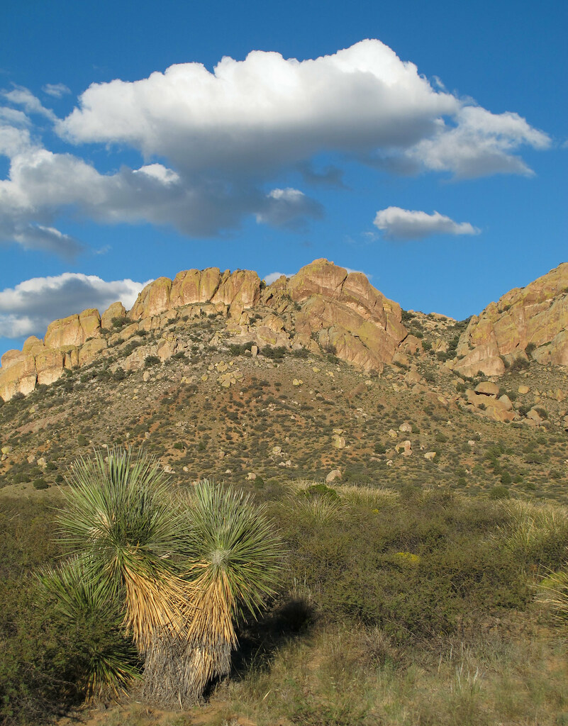
Jacks Peak Panorama
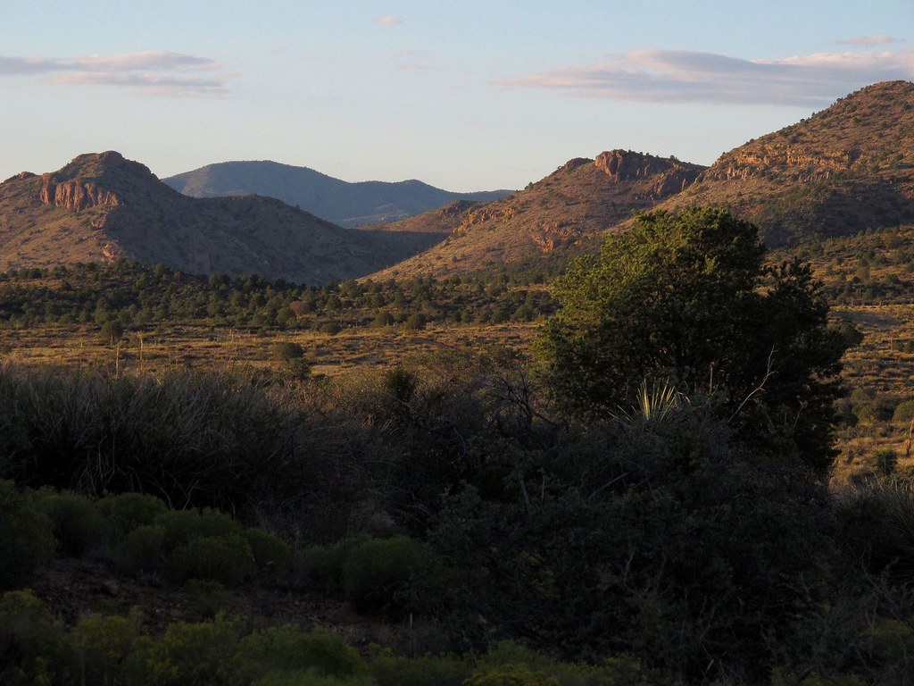
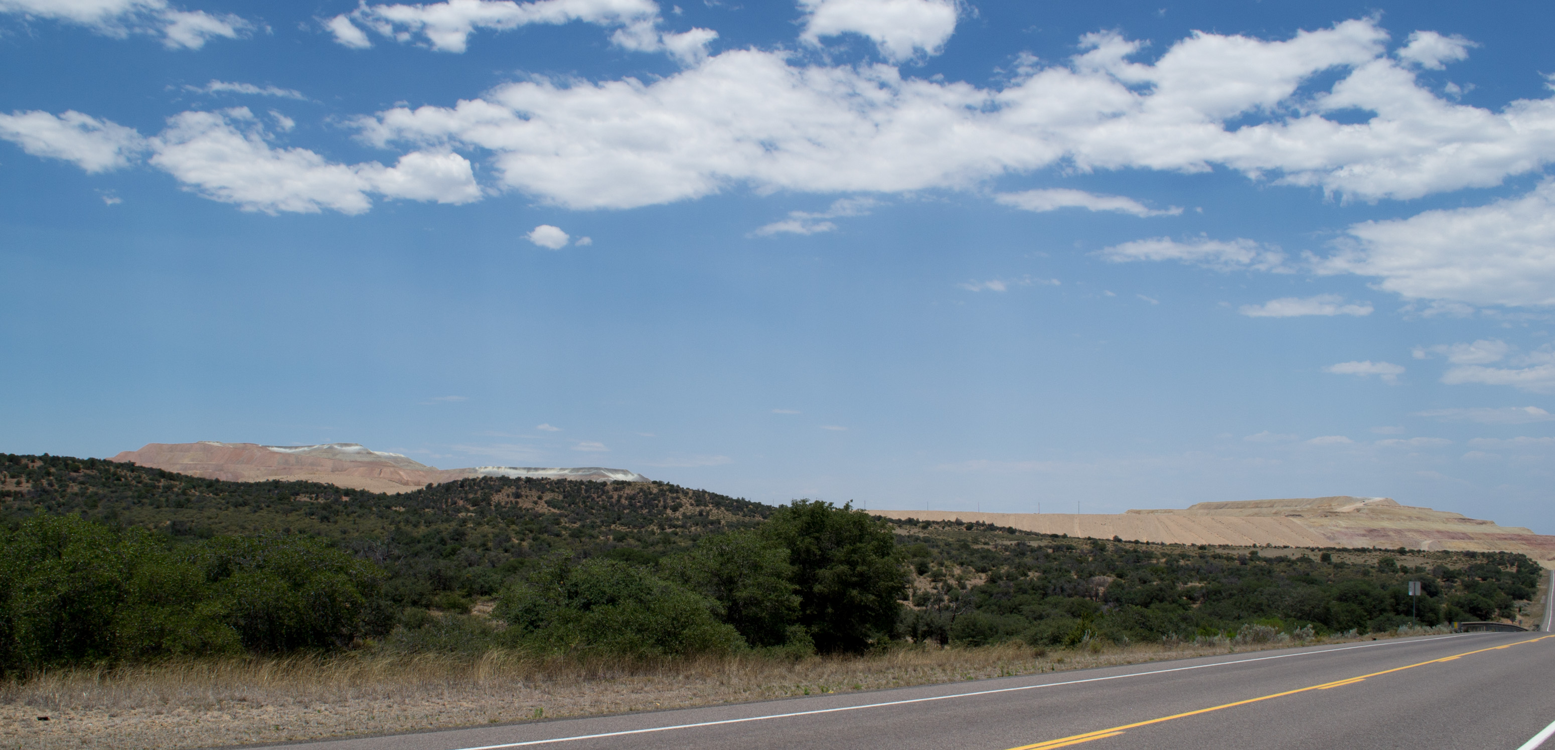
Out in the Wild Southwest
Out There in the Wild Southwest
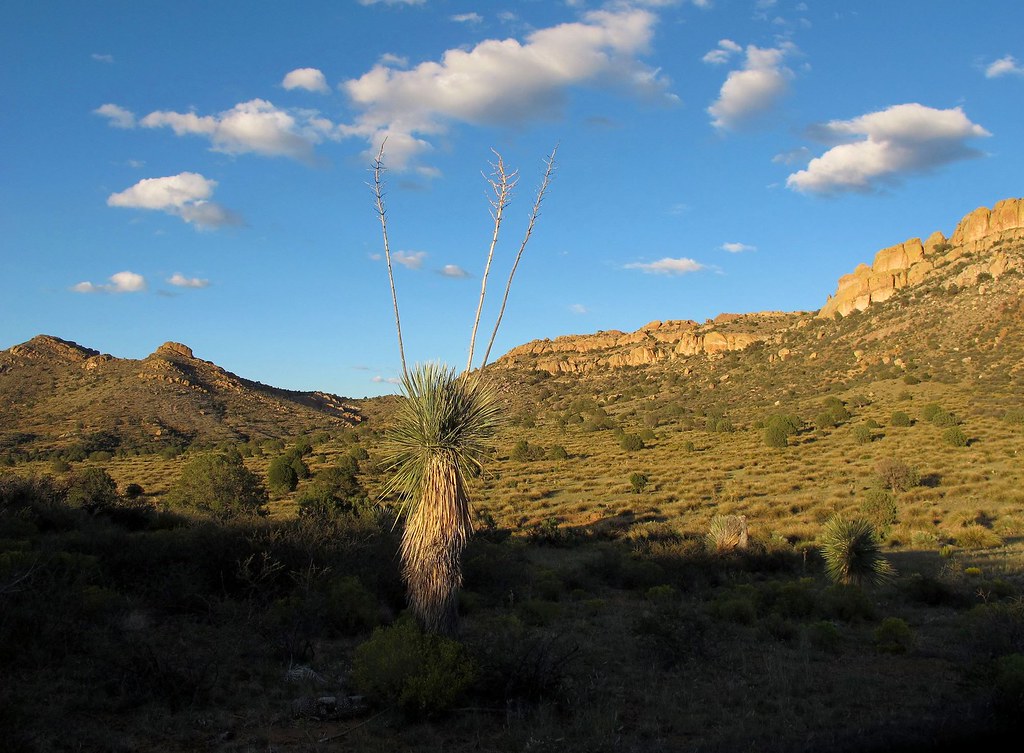
Wild West Landscapes III
Wild West Landscapes II

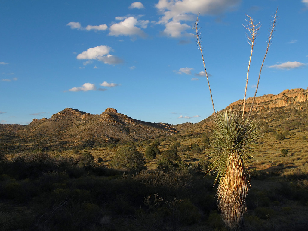
View from the Jacks Peak / Continental Divide Trail
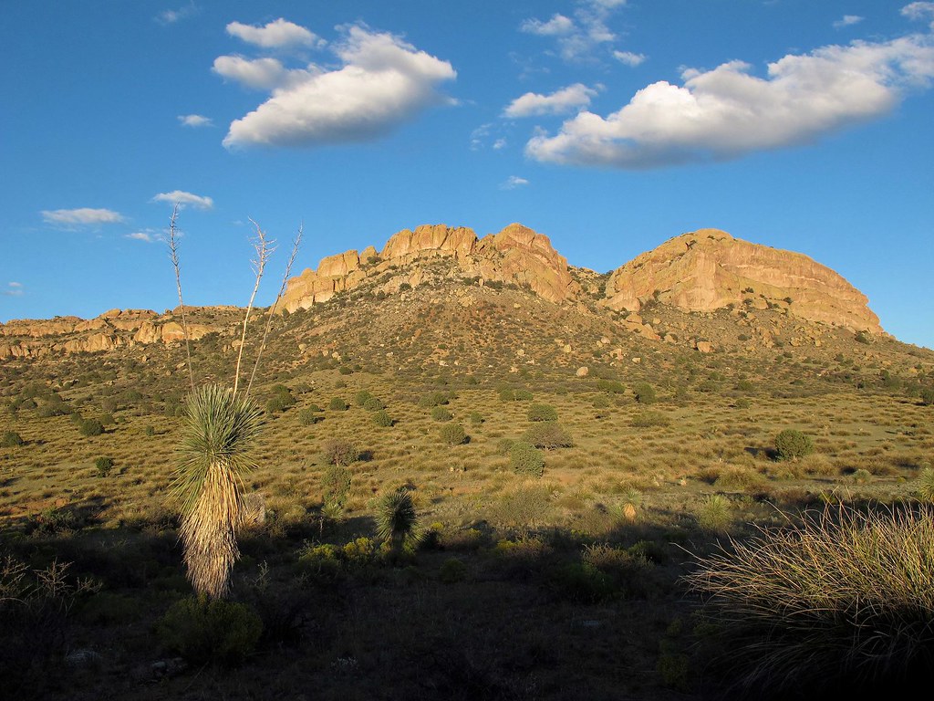
Southwest Wildscape
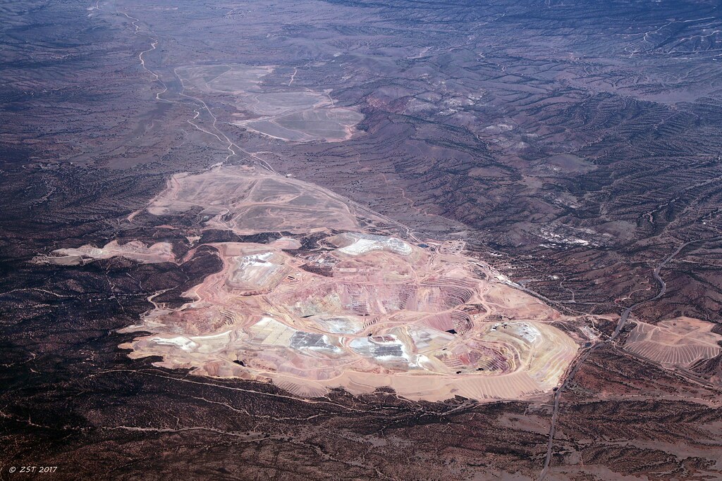
Phelps Dodge Mine, NM
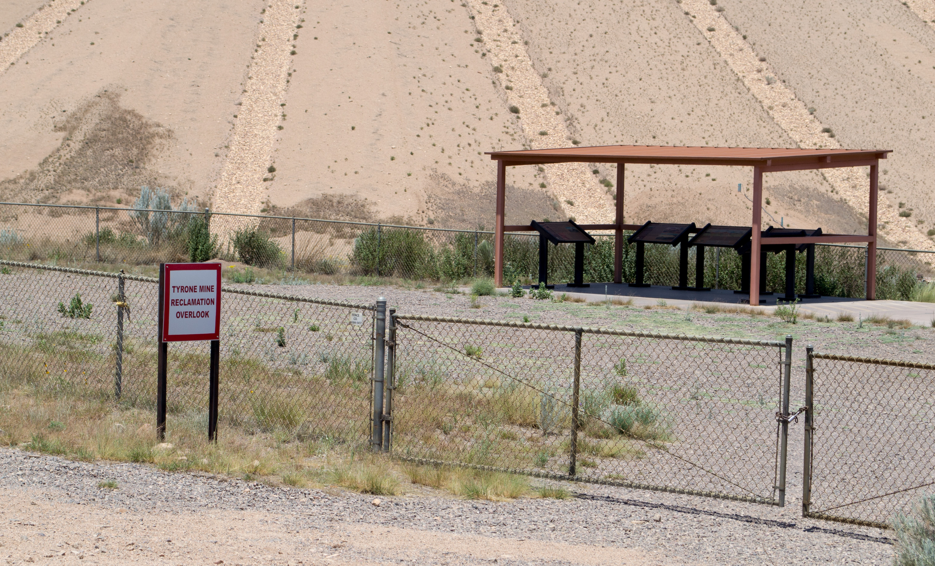
Tyrone Mine, NM reclamation (# 0789)
B F Hopper
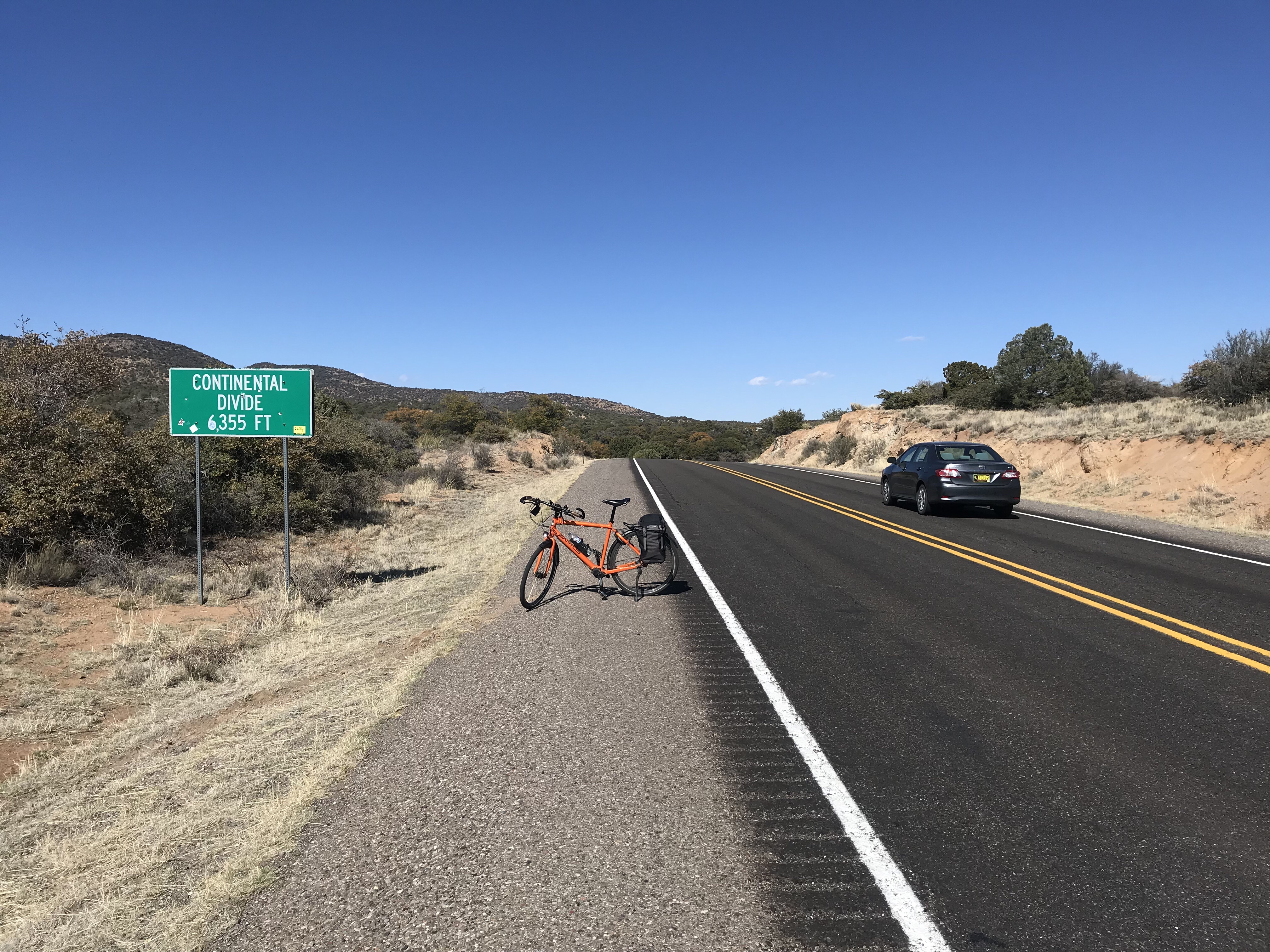
Continental divide (1937 m)
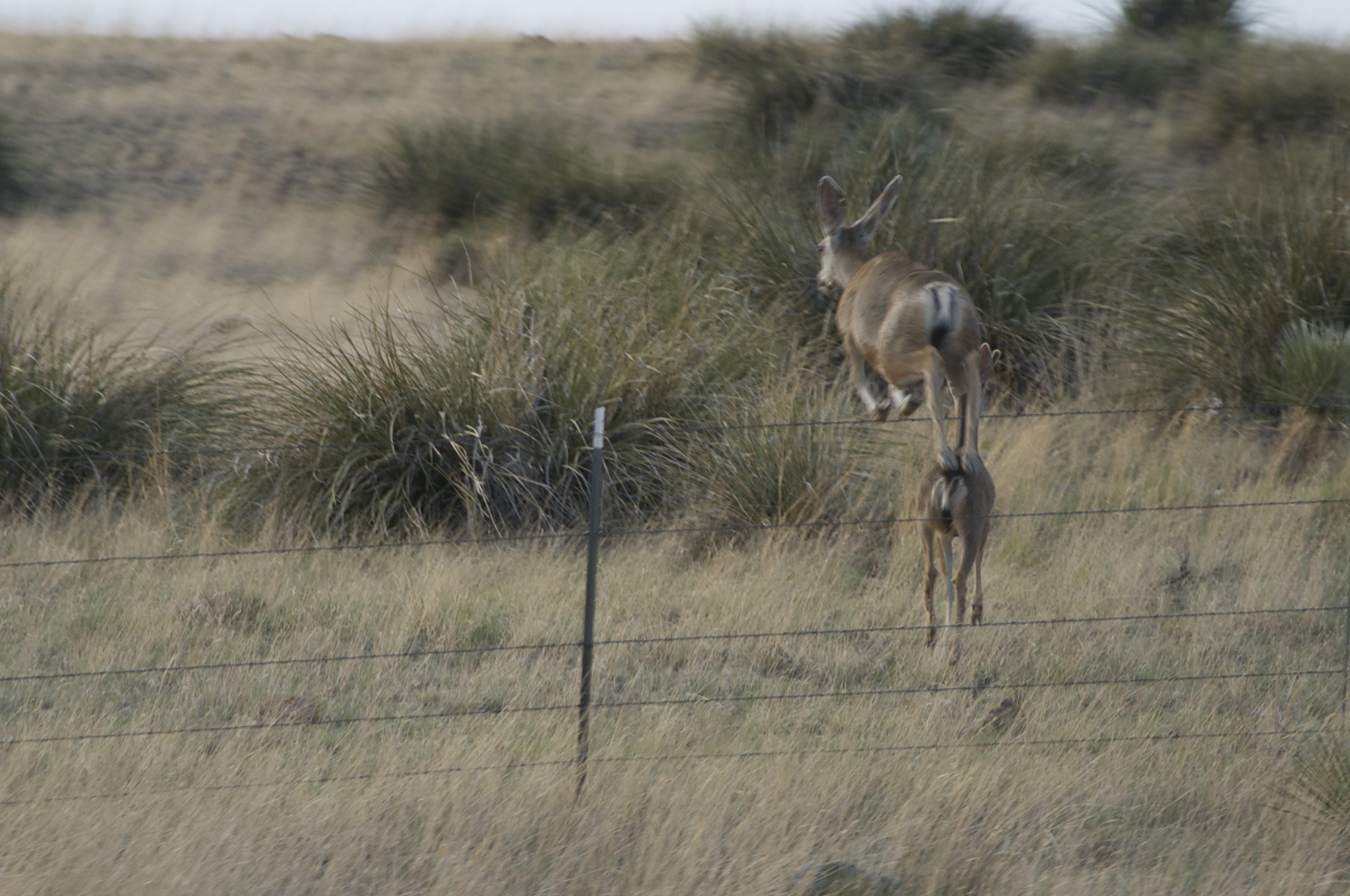
Deer in New Mexico

Sand trap felled me
The Last Hill
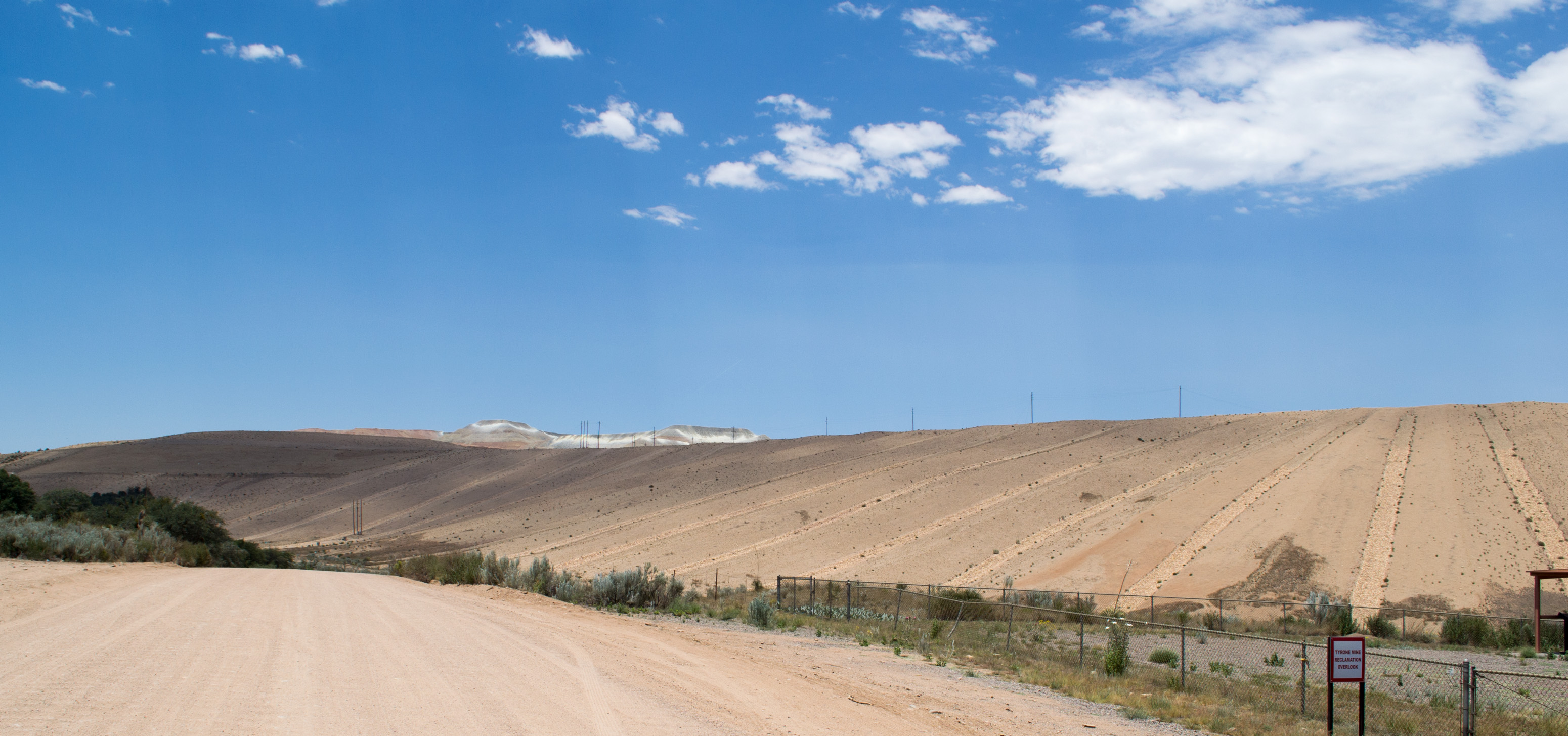
Tyrone Mine, NM reclamation (# 0790)
Tyrone Mine, NM (# 0792)
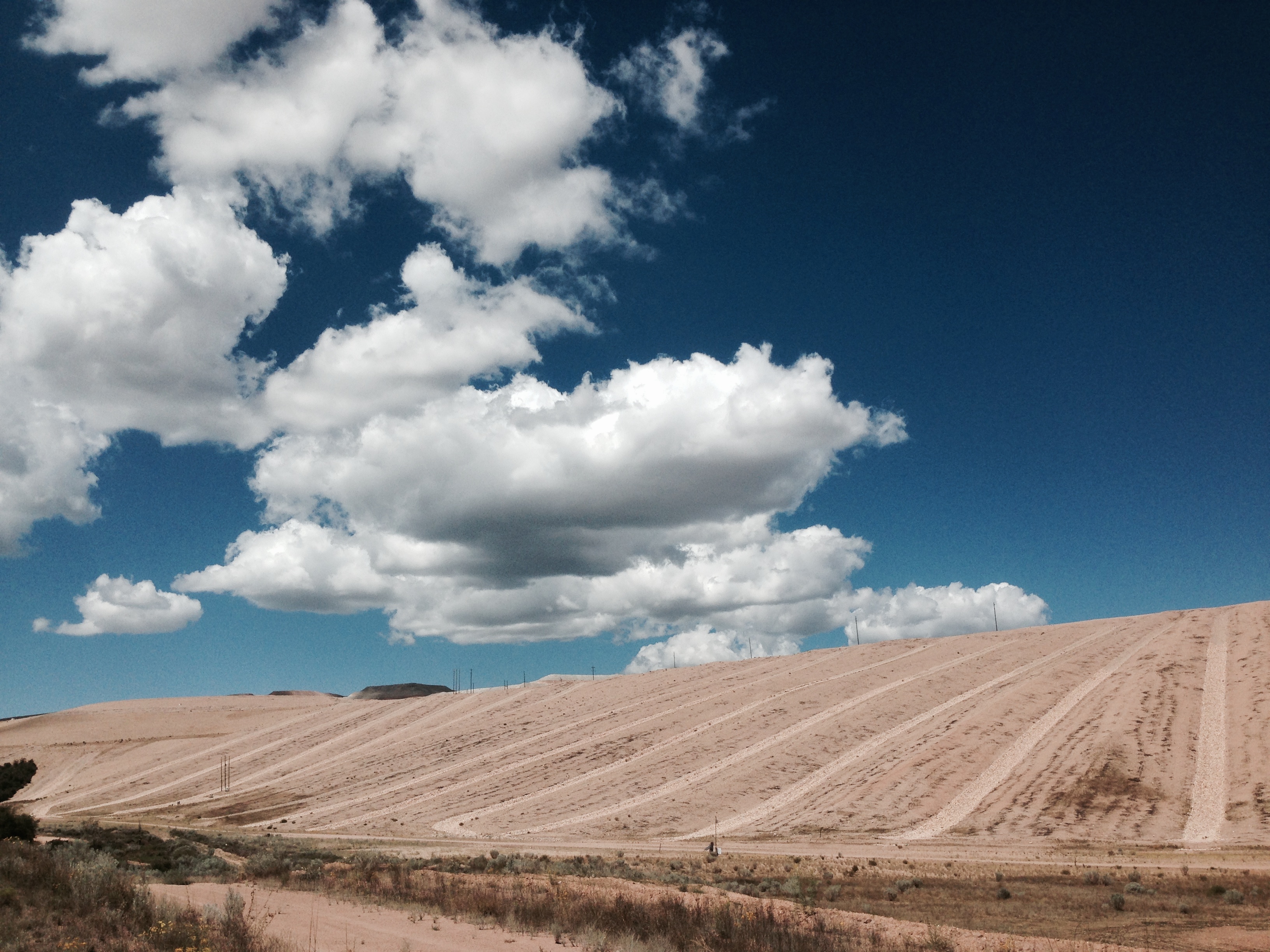
It's Not Mine
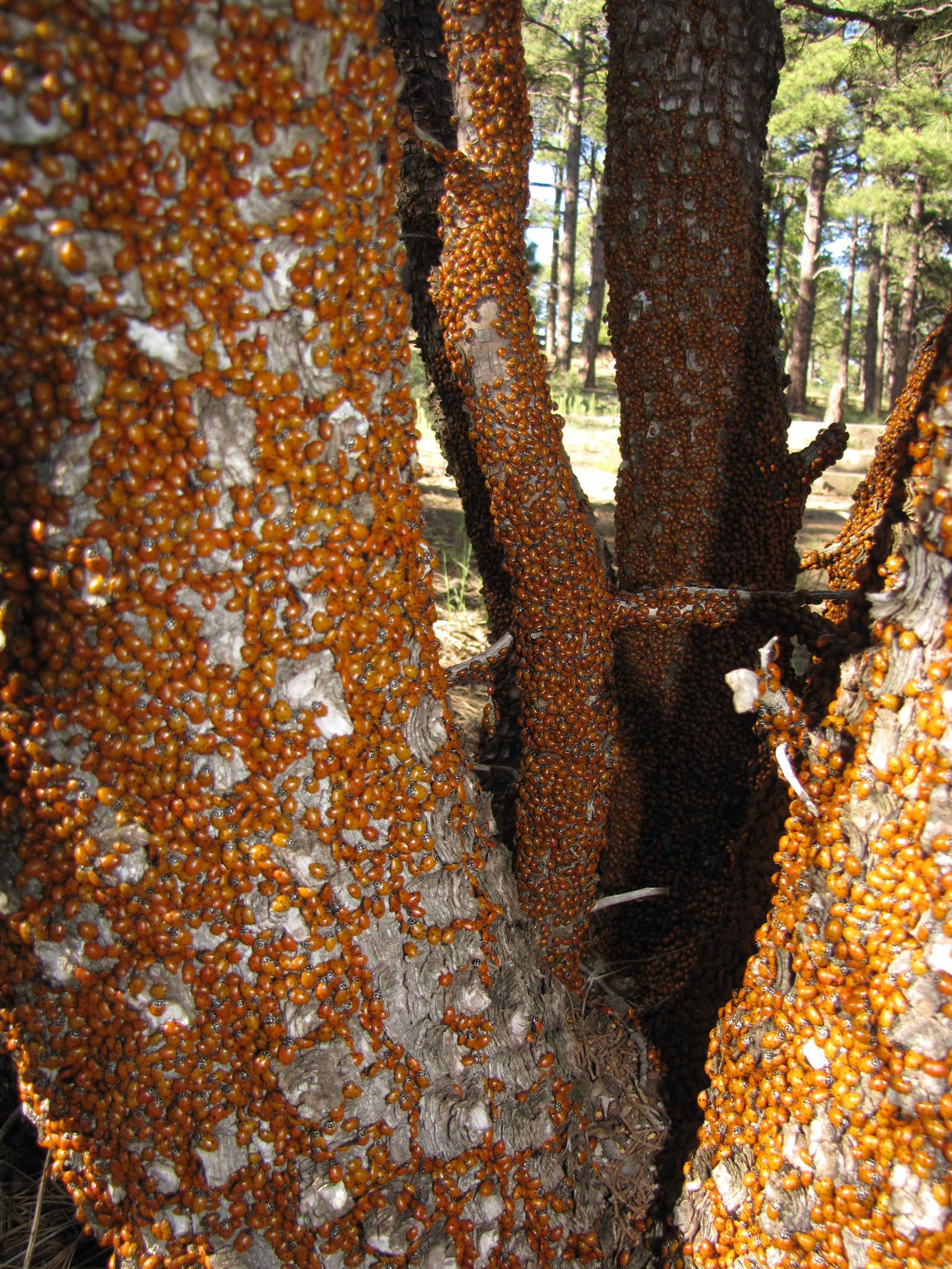
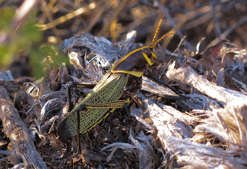
Masses of Convergent Lady Beetles (Hippodamia convergens - Lady Bugs) on pine trees; Mount Jack, Burro Mountains, Gila NF, SW of Silver City, NM
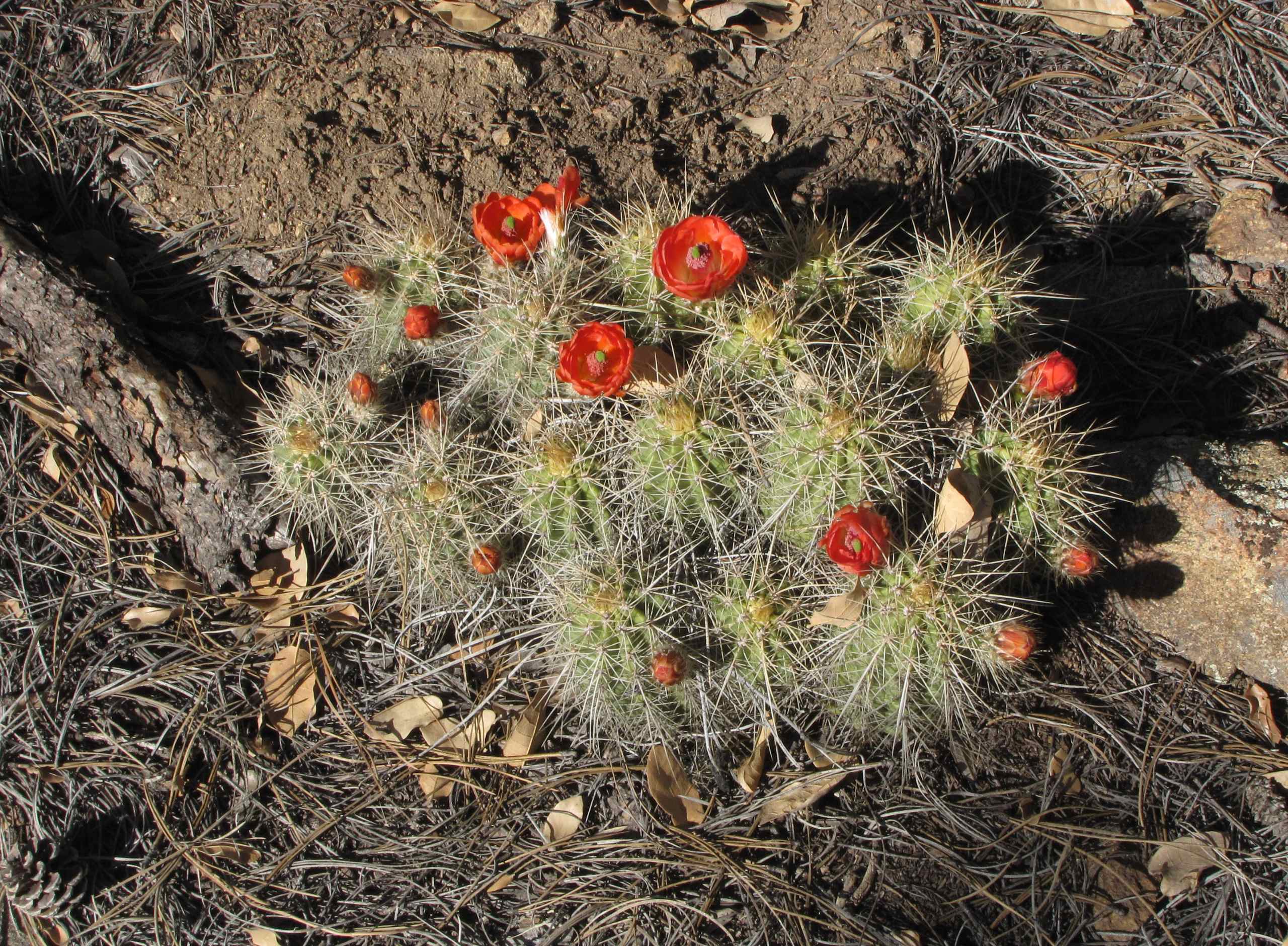
Scarlet Hedgehog Cactus (Echinocereus coccineus - Claret-cup Hedgehog); Jacks Peak Road, Burro Mountains, Gila NF, SW of Silver City, NM
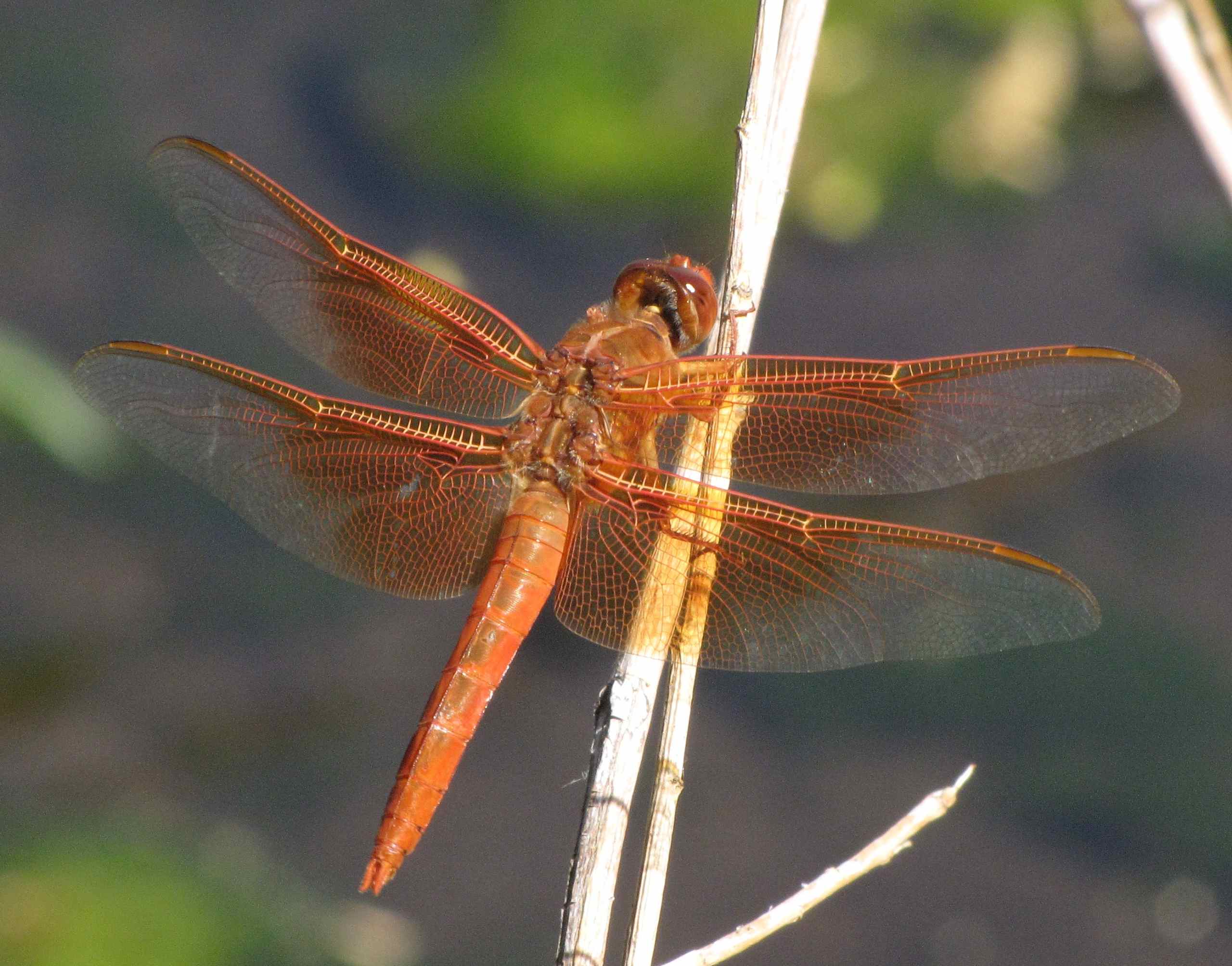
Flame Skimmer Dragonfly (Libellula saturata); Gold Gulch Road, Burro Mountains, Gila NF, SW of Silver City, NM7
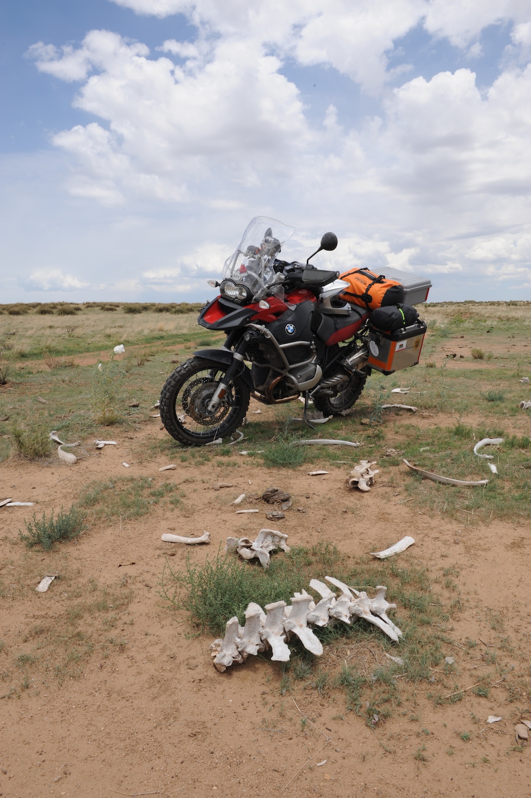
Near the bones of the dead. Cows.
White Signal, NM, USA Karte
Suchen Sie einen anderen Ort
Nahe Plätze
Burro Peak, New Mexico, USA
15 Bar 6 Dr, Silver City, NM, USA
S Combs St, Silver City, NM, USA
Western New Mexico University, W College Ave, Silver City, NM, USA
Treasure Mountain, New Mexico, USA
53 N Fork Walnut Creek Rd, Silver City, NM, USA
Redrock, NM, USA
Lordsburg, New Mexico, USA
Airport Mesa Road, Airport Mesa Rd, Silver City, NM, USA
Gila, NM, USA
Buckhorn, NM, USA
Duck Creek Rd, Buckhorn, NM, USA
Applegate Mountain, New Mexico, USA
Deer Peak, New Mexico, USA
Dry Section Mountain, New Mexico, USA
Diablo Range HP, New Mexico, USA
Shelley Peak, New Mexico, USA
Seventyfour Mountain, New Mexico, USA
Crookson Peak, New Mexico, USA
Summit Peak, New Mexico, USA
Letzte Suche
- Red Dog Mine, AK, USA Sonnenaufgang Sonnenuntergang Zeiten
- Am Bahnhof, Am bhf, Borken, Germany Sonnenaufgang Sonnenuntergang Zeiten
- 4th St E, Sonoma, CA, USA Sonnenaufgang Sonnenuntergang Zeiten
- Oakland Ave, Williamsport, PA, USA Sonnenaufgang Sonnenuntergang Zeiten
- Via Roma, Pieranica CR, Italien Sonnenaufgang Sonnenuntergang Zeiten
- Glockenturm, Grad, Dubrovnik, Kroatien Sonnenaufgang Sonnenuntergang Zeiten
- Trelew, Chubut Province, Argentina Sonnenaufgang Sonnenuntergang Zeiten
- Hartfords Bluff Cir, Mt Pleasant, SC, USA Sonnenaufgang Sonnenuntergang Zeiten
- Kita-ku, Kumamoto, Präfektur Kumamoto, Japan Sonnenaufgang Sonnenuntergang Zeiten
- Pingtan Island, Pingtan County, Fuzhou, China Sonnenaufgang Sonnenuntergang Zeiten