| Zeitzone: | Rocky-Mountains-Normalzeit |
|---|---|
| Ortszeit: | Dienstag, 17. November 2026 12:29 |
| Länge: | -112.8096785 |
| Breite: | 33.4936326 |
| Sonnenaufgang Heute: | 07:06:03 |
| Sonnenuntergang Heute: | 17:29:15 |
| Tageslänge heute: | 10h 23m 11s |
| Sonnenaufgang morgen: | 07:07:00 |
| Sonnenuntergang Morgen: | 17:28:44 |
| Tageslänge von morgen: | 10h 21m 44s |
: Alle Termine anzeigen
| Datum | Sonnenaufgang | Sonnenuntergang | Tageslänge |
|---|---|---|---|
| 1. Jan. 2026 | 07:36:29 | 17:34:34 | 9h 58m 4s |
| 1. Feb. 2026 | 07:29:20 | 18:02:31 | 10h 33m 10s |
| 1. März 2026 | 07:02:17 | 18:28:13 | 11h 25m 55s |
| 1. Apr. 2026 | 06:21:20 | 18:51:44 | 12h 30m 23s |
| 1. Mai 2026 | 05:45:06 | 19:14:11 | 13h 29m 5s |
| 1. Juni 2026 | 05:24:05 | 19:36:42 | 14h 12m 37s |
| 1. Juli 2026 | 05:25:44 | 19:46:23 | 14h 20m 39s |
| 1. Aug. 2026 | 05:44:10 | 19:33:30 | 13h 49m 19s |
| 1. Sep. 2026 | 06:06:04 | 19:00:04 | 12h 54m 0s |
| 1. Okt. 2026 | 06:26:01 | 18:18:52 | 11h 52m 51s |
| 1. Nov. 2026 | 06:50:20 | 17:41:49 | 10h 51m 29s |
| 18. Nov. 2026 | 07:06:03 | 17:29:15 | 10h 23m 11s |
| 19. Nov. 2026 | 07:07:00 | 17:28:44 | 10h 21m 44s |
| 1. Dez. 2026 | 07:17:57 | 17:24:54 | 10h 6m 57s |
Fotos von Sonnenaufgang und Sonnenuntergang
![Dramatic Trader by Rich Snyder--Jetarazzi Photography, I liked what the sky was doing at that point so I took the shot. =]
My second successful upload to](https://live.staticflickr.com/3086/2667551374_b453b1286f.jpg)
Dramatic Trader by Rich Snyder--Jetarazzi Photography
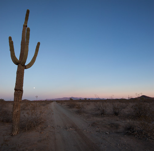
White Tank Mountains at Sunset by squeaks2569
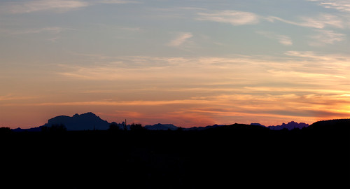
Sunset Over Saddle Mountain by squeaks2569
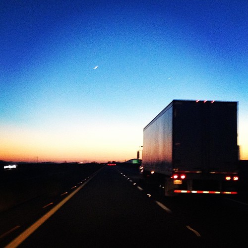
sunset on the Arizona highway by Karol Franks

bird is my co-pilot by angusmacdoodles

Smoke Stacks? Nuclear tests? Con trails? What new hell is being unleashed?!#bearsontheroad #roadtripparanoia by Shutter Bear Photography

IMG_5905 Sunrise(border) by davidbbernstein1

I-10 Sunset by jasontho
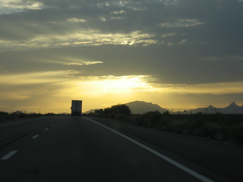
Sunset along I-10 by antoarre

Sunset along I-10 by antoarre