Viking Mountain Road, Viking Mountain Rd, Tennessee, USA Sonnenaufgang Sonnenuntergang Zeiten
Location: USA > Tennessee > Greene County > Greeneville >
Zeitzone:
America/New_York
Ortszeit:
2025-06-25 16:01:36
Länge:
-82.7582271
Breite:
36.0149903
Sonnenaufgang Heute:
06:16:12 AM
Sonnenuntergang Heute:
08:51:55 PM
Tageslänge heute:
14h 35m 43s
Sonnenaufgang morgen:
06:16:34 AM
Sonnenuntergang Morgen:
08:51:58 PM
Tageslänge von morgen:
14h 35m 24s
Alle Termine anzeigen
| Datum | Sonnenaufgang | Sonnenuntergang | Tageslänge |
|---|---|---|---|
| 2025-01-01 | 07:41:46 AM | 05:28:32 PM | 9h 46m 46s |
| 2025-01-02 | 07:41:53 AM | 05:29:20 PM | 9h 47m 27s |
| 2025-01-03 | 07:41:58 AM | 05:30:10 PM | 9h 48m 12s |
| 2025-01-04 | 07:42:01 AM | 05:31:00 PM | 9h 48m 59s |
| 2025-01-05 | 07:42:02 AM | 05:31:52 PM | 9h 49m 50s |
| 2025-01-06 | 07:42:01 AM | 05:32:45 PM | 9h 50m 44s |
| 2025-01-07 | 07:41:58 AM | 05:33:38 PM | 9h 51m 40s |
| 2025-01-08 | 07:41:53 AM | 05:34:33 PM | 9h 52m 40s |
| 2025-01-09 | 07:41:47 AM | 05:35:28 PM | 9h 53m 41s |
| 2025-01-10 | 07:41:38 AM | 05:36:24 PM | 9h 54m 46s |
| 2025-01-11 | 07:41:27 AM | 05:37:21 PM | 9h 55m 54s |
| 2025-01-12 | 07:41:14 AM | 05:38:19 PM | 9h 57m 5s |
| 2025-01-13 | 07:41:00 AM | 05:39:18 PM | 9h 58m 18s |
| 2025-01-14 | 07:40:43 AM | 05:40:17 PM | 9h 59m 34s |
| 2025-01-15 | 07:40:25 AM | 05:41:16 PM | 10h 0m 51s |
| 2025-01-16 | 07:40:04 AM | 05:42:16 PM | 10h 2m 12s |
| 2025-01-17 | 07:39:42 AM | 05:43:17 PM | 10h 3m 35s |
| 2025-01-18 | 07:39:18 AM | 05:44:18 PM | 10h 5m 0s |
| 2025-01-19 | 07:38:51 AM | 05:45:19 PM | 10h 6m 28s |
| 2025-01-20 | 07:38:24 AM | 05:46:21 PM | 10h 7m 57s |
| 2025-01-21 | 07:37:54 AM | 05:47:23 PM | 10h 9m 29s |
| 2025-01-22 | 07:37:22 AM | 05:48:26 PM | 10h 11m 4s |
| 2025-01-23 | 07:36:49 AM | 05:49:28 PM | 10h 12m 39s |
| 2025-01-24 | 07:36:13 AM | 05:50:31 PM | 10h 14m 18s |
| 2025-01-25 | 07:35:37 AM | 05:51:34 PM | 10h 15m 57s |
| 2025-01-26 | 07:34:58 AM | 05:52:37 PM | 10h 17m 39s |
| 2025-01-27 | 07:34:17 AM | 05:53:40 PM | 10h 19m 23s |
| 2025-01-28 | 07:33:35 AM | 05:54:43 PM | 10h 21m 8s |
| 2025-01-29 | 07:32:52 AM | 05:55:47 PM | 10h 22m 55s |
| 2025-01-30 | 07:32:06 AM | 05:56:50 PM | 10h 24m 44s |
| 2025-01-31 | 07:31:19 AM | 05:57:53 PM | 10h 26m 34s |
| 2025-02-01 | 07:30:31 AM | 05:58:56 PM | 10h 28m 25s |
| 2025-02-02 | 07:29:41 AM | 05:59:59 PM | 10h 30m 18s |
| 2025-02-03 | 07:28:49 AM | 06:01:02 PM | 10h 32m 13s |
| 2025-02-04 | 07:27:56 AM | 06:02:05 PM | 10h 34m 9s |
| 2025-02-05 | 07:27:02 AM | 06:03:08 PM | 10h 36m 6s |
| 2025-02-06 | 07:26:06 AM | 06:04:10 PM | 10h 38m 4s |
| 2025-02-07 | 07:25:09 AM | 06:05:12 PM | 10h 40m 3s |
| 2025-02-08 | 07:24:10 AM | 06:06:14 PM | 10h 42m 4s |
| 2025-02-09 | 07:23:10 AM | 06:07:16 PM | 10h 44m 6s |
| 2025-02-10 | 07:22:09 AM | 06:08:18 PM | 10h 46m 9s |
| 2025-02-11 | 07:21:07 AM | 06:09:19 PM | 10h 48m 12s |
| 2025-02-12 | 07:20:03 AM | 06:10:20 PM | 10h 50m 17s |
| 2025-02-13 | 07:18:58 AM | 06:11:21 PM | 10h 52m 23s |
| 2025-02-14 | 07:17:52 AM | 06:12:21 PM | 10h 54m 29s |
| 2025-02-15 | 07:16:45 AM | 06:13:21 PM | 10h 56m 36s |
| 2025-02-16 | 07:15:36 AM | 06:14:21 PM | 10h 58m 45s |
| 2025-02-17 | 07:14:27 AM | 06:15:20 PM | 11h 0m 53s |
| 2025-02-18 | 07:13:16 AM | 06:16:19 PM | 11h 3m 3s |
| 2025-02-19 | 07:12:05 AM | 06:17:18 PM | 11h 5m 13s |
| 2025-02-20 | 07:10:53 AM | 06:18:17 PM | 11h 7m 24s |
| 2025-02-21 | 07:09:39 AM | 06:19:15 PM | 11h 9m 36s |
| 2025-02-22 | 07:08:25 AM | 06:20:13 PM | 11h 11m 48s |
| 2025-02-23 | 07:07:10 AM | 06:21:10 PM | 11h 14m 0s |
| 2025-02-24 | 07:05:54 AM | 06:22:08 PM | 11h 16m 14s |
| 2025-02-25 | 07:04:37 AM | 06:23:04 PM | 11h 18m 27s |
| 2025-02-26 | 07:03:20 AM | 06:24:01 PM | 11h 20m 41s |
| 2025-02-27 | 07:02:02 AM | 06:24:57 PM | 11h 22m 55s |
| 2025-02-28 | 07:00:43 AM | 06:25:53 PM | 11h 25m 10s |
| 2025-03-01 | 06:59:23 AM | 06:26:49 PM | 11h 27m 26s |
| 2025-03-02 | 06:58:03 AM | 06:27:44 PM | 11h 29m 41s |
| 2025-03-03 | 06:56:42 AM | 06:28:39 PM | 11h 31m 57s |
| 2025-03-04 | 06:55:20 AM | 06:29:33 PM | 11h 34m 13s |
| 2025-03-05 | 06:53:58 AM | 06:30:28 PM | 11h 36m 30s |
| 2025-03-06 | 06:52:36 AM | 06:31:22 PM | 11h 38m 46s |
| 2025-03-07 | 06:51:12 AM | 06:32:16 PM | 11h 41m 4s |
| 2025-03-08 | 06:49:49 AM | 06:33:09 PM | 11h 43m 20s |
| 2025-03-09 | 07:48:28 AM | 07:34:00 PM | 11h 45m 32s |
| 2025-03-10 | 07:47:04 AM | 07:34:53 PM | 11h 47m 49s |
| 2025-03-11 | 07:45:39 AM | 07:35:46 PM | 11h 50m 7s |
| 2025-03-12 | 07:44:14 AM | 07:36:39 PM | 11h 52m 25s |
| 2025-03-13 | 07:42:49 AM | 07:37:31 PM | 11h 54m 42s |
| 2025-03-14 | 07:41:23 AM | 07:38:23 PM | 11h 57m 0s |
| 2025-03-15 | 07:39:57 AM | 07:39:15 PM | 11h 59m 18s |
| 2025-03-16 | 07:38:31 AM | 07:40:07 PM | 12h 1m 36s |
| 2025-03-17 | 07:37:05 AM | 07:40:58 PM | 12h 3m 53s |
| 2025-03-18 | 07:35:38 AM | 07:41:50 PM | 12h 6m 12s |
| 2025-03-19 | 07:34:12 AM | 07:42:41 PM | 12h 8m 29s |
| 2025-03-20 | 07:32:45 AM | 07:43:32 PM | 12h 10m 47s |
| 2025-03-21 | 07:31:18 AM | 07:44:23 PM | 12h 13m 5s |
| 2025-03-22 | 07:29:51 AM | 07:45:14 PM | 12h 15m 23s |
| 2025-03-23 | 07:28:24 AM | 07:46:05 PM | 12h 17m 41s |
| 2025-03-24 | 07:26:58 AM | 07:46:56 PM | 12h 19m 58s |
| 2025-03-25 | 07:25:31 AM | 07:47:46 PM | 12h 22m 15s |
| 2025-03-26 | 07:24:04 AM | 07:48:37 PM | 12h 24m 33s |
| 2025-03-27 | 07:22:37 AM | 07:49:27 PM | 12h 26m 50s |
| 2025-03-28 | 07:21:11 AM | 07:50:17 PM | 12h 29m 6s |
| 2025-03-29 | 07:19:45 AM | 07:51:08 PM | 12h 31m 23s |
| 2025-03-30 | 07:18:18 AM | 07:51:58 PM | 12h 33m 40s |
| 2025-03-31 | 07:16:53 AM | 07:52:48 PM | 12h 35m 55s |
| 2025-04-01 | 07:15:27 AM | 07:53:39 PM | 12h 38m 12s |
| 2025-04-02 | 07:14:02 AM | 07:54:29 PM | 12h 40m 27s |
| 2025-04-03 | 07:12:37 AM | 07:55:19 PM | 12h 42m 42s |
| 2025-04-04 | 07:11:12 AM | 07:56:09 PM | 12h 44m 57s |
| 2025-04-05 | 07:09:47 AM | 07:57:00 PM | 12h 47m 13s |
| 2025-04-06 | 07:08:24 AM | 07:57:50 PM | 12h 49m 26s |
| 2025-04-07 | 07:07:00 AM | 07:58:40 PM | 12h 51m 40s |
| 2025-04-08 | 07:05:37 AM | 07:59:30 PM | 12h 53m 53s |
| 2025-04-09 | 07:04:14 AM | 08:00:21 PM | 12h 56m 7s |
| 2025-04-10 | 07:02:52 AM | 08:01:11 PM | 12h 58m 19s |
| 2025-04-11 | 07:01:31 AM | 08:02:02 PM | 13h 0m 31s |
| 2025-04-12 | 07:00:10 AM | 08:02:52 PM | 13h 2m 42s |
| 2025-04-13 | 06:58:49 AM | 08:03:43 PM | 13h 4m 54s |
| 2025-04-14 | 06:57:30 AM | 08:04:33 PM | 13h 7m 3s |
| 2025-04-15 | 06:56:11 AM | 08:05:24 PM | 13h 9m 13s |
| 2025-04-16 | 06:54:52 AM | 08:06:15 PM | 13h 11m 23s |
| 2025-04-17 | 06:53:35 AM | 08:07:06 PM | 13h 13m 31s |
| 2025-04-18 | 06:52:18 AM | 08:07:56 PM | 13h 15m 38s |
| 2025-04-19 | 06:51:02 AM | 08:08:47 PM | 13h 17m 45s |
| 2025-04-20 | 06:49:46 AM | 08:09:38 PM | 13h 19m 52s |
| 2025-04-21 | 06:48:32 AM | 08:10:29 PM | 13h 21m 57s |
| 2025-04-22 | 06:47:18 AM | 08:11:20 PM | 13h 24m 2s |
| 2025-04-23 | 06:46:06 AM | 08:12:11 PM | 13h 26m 5s |
| 2025-04-24 | 06:44:54 AM | 08:13:02 PM | 13h 28m 8s |
| 2025-04-25 | 06:43:43 AM | 08:13:53 PM | 13h 30m 10s |
| 2025-04-26 | 06:42:33 AM | 08:14:45 PM | 13h 32m 12s |
| 2025-04-27 | 06:41:25 AM | 08:15:36 PM | 13h 34m 11s |
| 2025-04-28 | 06:40:17 AM | 08:16:27 PM | 13h 36m 10s |
| 2025-04-29 | 06:39:10 AM | 08:17:18 PM | 13h 38m 8s |
| 2025-04-30 | 06:38:04 AM | 08:18:09 PM | 13h 40m 5s |
| 2025-05-01 | 06:37:00 AM | 08:19:00 PM | 13h 42m 0s |
| 2025-05-02 | 06:35:57 AM | 08:19:51 PM | 13h 43m 54s |
| 2025-05-03 | 06:34:54 AM | 08:20:42 PM | 13h 45m 48s |
| 2025-05-04 | 06:33:53 AM | 08:21:33 PM | 13h 47m 40s |
| 2025-05-05 | 06:32:54 AM | 08:22:24 PM | 13h 49m 30s |
| 2025-05-06 | 06:31:55 AM | 08:23:14 PM | 13h 51m 19s |
| 2025-05-07 | 06:30:58 AM | 08:24:05 PM | 13h 53m 7s |
| 2025-05-08 | 06:30:02 AM | 08:24:55 PM | 13h 54m 53s |
| 2025-05-09 | 06:29:07 AM | 08:25:45 PM | 13h 56m 38s |
| 2025-05-10 | 06:28:14 AM | 08:26:35 PM | 13h 58m 21s |
| 2025-05-11 | 06:27:22 AM | 08:27:24 PM | 14h 0m 2s |
| 2025-05-12 | 06:26:32 AM | 08:28:14 PM | 14h 1m 42s |
| 2025-05-13 | 06:25:43 AM | 08:29:03 PM | 14h 3m 20s |
| 2025-05-14 | 06:24:55 AM | 08:29:52 PM | 14h 4m 57s |
| 2025-05-15 | 06:24:09 AM | 08:30:40 PM | 14h 6m 31s |
| 2025-05-16 | 06:23:25 AM | 08:31:28 PM | 14h 8m 3s |
| 2025-05-17 | 06:22:42 AM | 08:32:16 PM | 14h 9m 34s |
| 2025-05-18 | 06:22:00 AM | 08:33:03 PM | 14h 11m 3s |
| 2025-05-19 | 06:21:20 AM | 08:33:50 PM | 14h 12m 30s |
| 2025-05-20 | 06:20:42 AM | 08:34:36 PM | 14h 13m 54s |
| 2025-05-21 | 06:20:05 AM | 08:35:22 PM | 14h 15m 17s |
| 2025-05-22 | 06:19:30 AM | 08:36:07 PM | 14h 16m 37s |
| 2025-05-23 | 06:18:56 AM | 08:36:51 PM | 14h 17m 55s |
| 2025-05-24 | 06:18:24 AM | 08:37:35 PM | 14h 19m 11s |
| 2025-05-25 | 06:17:54 AM | 08:38:19 PM | 14h 20m 25s |
| 2025-05-26 | 06:17:25 AM | 08:39:01 PM | 14h 21m 36s |
| 2025-05-27 | 06:16:58 AM | 08:39:43 PM | 14h 22m 45s |
| 2025-05-28 | 06:16:33 AM | 08:40:24 PM | 14h 23m 51s |
| 2025-05-29 | 06:16:09 AM | 08:41:04 PM | 14h 24m 55s |
| 2025-05-30 | 06:15:47 AM | 08:41:44 PM | 14h 25m 57s |
| 2025-05-31 | 06:15:27 AM | 08:42:22 PM | 14h 26m 55s |
| 2025-06-01 | 06:15:09 AM | 08:43:00 PM | 14h 27m 51s |
| 2025-06-02 | 06:14:52 AM | 08:43:36 PM | 14h 28m 44s |
| 2025-06-03 | 06:14:37 AM | 08:44:12 PM | 14h 29m 35s |
| 2025-06-04 | 06:14:23 AM | 08:44:46 PM | 14h 30m 23s |
| 2025-06-05 | 06:14:12 AM | 08:45:20 PM | 14h 31m 8s |
| 2025-06-06 | 06:14:01 AM | 08:45:52 PM | 14h 31m 51s |
| 2025-06-07 | 06:13:53 AM | 08:46:24 PM | 14h 32m 31s |
| 2025-06-08 | 06:13:47 AM | 08:46:54 PM | 14h 33m 7s |
| 2025-06-09 | 06:13:42 AM | 08:47:23 PM | 14h 33m 41s |
| 2025-06-10 | 06:13:38 AM | 08:47:50 PM | 14h 34m 12s |
| 2025-06-11 | 06:13:37 AM | 08:48:16 PM | 14h 34m 39s |
| 2025-06-12 | 06:13:37 AM | 08:48:41 PM | 14h 35m 4s |
| 2025-06-13 | 06:13:39 AM | 08:49:05 PM | 14h 35m 26s |
| 2025-06-14 | 06:13:42 AM | 08:49:27 PM | 14h 35m 45s |
| 2025-06-15 | 06:13:47 AM | 08:49:48 PM | 14h 36m 1s |
| 2025-06-16 | 06:13:54 AM | 08:50:08 PM | 14h 36m 14s |
| 2025-06-17 | 06:14:02 AM | 08:50:26 PM | 14h 36m 24s |
| 2025-06-18 | 06:14:11 AM | 08:50:42 PM | 14h 36m 31s |
| 2025-06-19 | 06:14:23 AM | 08:50:57 PM | 14h 36m 34s |
| 2025-06-20 | 06:14:35 AM | 08:51:10 PM | 14h 36m 35s |
| 2025-06-21 | 06:14:50 AM | 08:51:22 PM | 14h 36m 32s |
| 2025-06-22 | 06:15:05 AM | 08:51:32 PM | 14h 36m 27s |
| 2025-06-23 | 06:15:23 AM | 08:51:41 PM | 14h 36m 18s |
| 2025-06-24 | 06:15:41 AM | 08:51:48 PM | 14h 36m 7s |
| 2025-06-25 | 06:16:01 AM | 08:51:53 PM | 14h 35m 52s |
| 2025-06-26 | 06:16:22 AM | 08:51:57 PM | 14h 35m 35s |
| 2025-06-27 | 06:16:45 AM | 08:51:59 PM | 14h 35m 14s |
| 2025-06-28 | 06:17:09 AM | 08:51:59 PM | 14h 34m 50s |
| 2025-06-29 | 06:17:34 AM | 08:51:58 PM | 14h 34m 24s |
| 2025-06-30 | 06:18:00 AM | 08:51:55 PM | 14h 33m 55s |
| 2025-07-01 | 06:18:28 AM | 08:51:50 PM | 14h 33m 22s |
| 2025-07-02 | 06:18:57 AM | 08:51:43 PM | 14h 32m 46s |
| 2025-07-03 | 06:19:27 AM | 08:51:35 PM | 14h 32m 8s |
| 2025-07-04 | 06:19:58 AM | 08:51:25 PM | 14h 31m 27s |
| 2025-07-05 | 06:20:30 AM | 08:51:13 PM | 14h 30m 43s |
| 2025-07-06 | 06:21:03 AM | 08:50:59 PM | 14h 29m 56s |
| 2025-07-07 | 06:21:37 AM | 08:50:44 PM | 14h 29m 7s |
| 2025-07-08 | 06:22:12 AM | 08:50:27 PM | 14h 28m 15s |
| 2025-07-09 | 06:22:47 AM | 08:50:08 PM | 14h 27m 21s |
| 2025-07-10 | 06:23:24 AM | 08:49:48 PM | 14h 26m 24s |
| 2025-07-11 | 06:24:02 AM | 08:49:25 PM | 14h 25m 23s |
| 2025-07-12 | 06:24:40 AM | 08:49:01 PM | 14h 24m 21s |
| 2025-07-13 | 06:25:19 AM | 08:48:35 PM | 14h 23m 16s |
| 2025-07-14 | 06:25:59 AM | 08:48:08 PM | 14h 22m 9s |
| 2025-07-15 | 06:26:39 AM | 08:47:39 PM | 14h 21m 0s |
| 2025-07-16 | 06:27:20 AM | 08:47:08 PM | 14h 19m 48s |
| 2025-07-17 | 06:28:02 AM | 08:46:35 PM | 14h 18m 33s |
| 2025-07-18 | 06:28:44 AM | 08:46:01 PM | 14h 17m 17s |
| 2025-07-19 | 06:29:27 AM | 08:45:25 PM | 14h 15m 58s |
| 2025-07-20 | 06:30:10 AM | 08:44:48 PM | 14h 14m 38s |
| 2025-07-21 | 06:30:54 AM | 08:44:09 PM | 14h 13m 15s |
| 2025-07-22 | 06:31:39 AM | 08:43:28 PM | 14h 11m 49s |
| 2025-07-23 | 06:32:23 AM | 08:42:46 PM | 14h 10m 23s |
| 2025-07-24 | 06:33:08 AM | 08:42:02 PM | 14h 8m 54s |
| 2025-07-25 | 06:33:54 AM | 08:41:17 PM | 14h 7m 23s |
| 2025-07-26 | 06:34:39 AM | 08:40:30 PM | 14h 5m 51s |
| 2025-07-27 | 06:35:25 AM | 08:39:41 PM | 14h 4m 16s |
| 2025-07-28 | 06:36:12 AM | 08:38:52 PM | 14h 2m 40s |
| 2025-07-29 | 06:36:58 AM | 08:38:00 PM | 14h 1m 2s |
| 2025-07-30 | 06:37:45 AM | 08:37:07 PM | 13h 59m 22s |
| 2025-07-31 | 06:38:32 AM | 08:36:13 PM | 13h 57m 41s |
| 2025-08-01 | 06:39:19 AM | 08:35:18 PM | 13h 55m 59s |
| 2025-08-02 | 06:40:06 AM | 08:34:21 PM | 13h 54m 15s |
| 2025-08-03 | 06:40:54 AM | 08:33:23 PM | 13h 52m 29s |
| 2025-08-04 | 06:41:41 AM | 08:32:23 PM | 13h 50m 42s |
| 2025-08-05 | 06:42:29 AM | 08:31:22 PM | 13h 48m 53s |
| 2025-08-06 | 06:43:16 AM | 08:30:20 PM | 13h 47m 4s |
| 2025-08-07 | 06:44:04 AM | 08:29:17 PM | 13h 45m 13s |
| 2025-08-08 | 06:44:52 AM | 08:28:12 PM | 13h 43m 20s |
| 2025-08-09 | 06:45:39 AM | 08:27:07 PM | 13h 41m 28s |
| 2025-08-10 | 06:46:27 AM | 08:26:00 PM | 13h 39m 33s |
| 2025-08-11 | 06:47:15 AM | 08:24:52 PM | 13h 37m 37s |
| 2025-08-12 | 06:48:02 AM | 08:23:43 PM | 13h 35m 41s |
| 2025-08-13 | 06:48:50 AM | 08:22:33 PM | 13h 33m 43s |
| 2025-08-14 | 06:49:38 AM | 08:21:22 PM | 13h 31m 44s |
| 2025-08-15 | 06:50:25 AM | 08:20:10 PM | 13h 29m 45s |
| 2025-08-16 | 06:51:13 AM | 08:18:56 PM | 13h 27m 43s |
| 2025-08-17 | 06:52:00 AM | 08:17:42 PM | 13h 25m 42s |
| 2025-08-18 | 06:52:48 AM | 08:16:27 PM | 13h 23m 39s |
| 2025-08-19 | 06:53:35 AM | 08:15:12 PM | 13h 21m 37s |
| 2025-08-20 | 06:54:22 AM | 08:13:55 PM | 13h 19m 33s |
| 2025-08-21 | 06:55:09 AM | 08:12:37 PM | 13h 17m 28s |
| 2025-08-22 | 06:55:56 AM | 08:11:19 PM | 13h 15m 23s |
| 2025-08-23 | 06:56:43 AM | 08:10:00 PM | 13h 13m 17s |
| 2025-08-24 | 06:57:30 AM | 08:08:40 PM | 13h 11m 10s |
| 2025-08-25 | 06:58:17 AM | 08:07:19 PM | 13h 9m 2s |
| 2025-08-26 | 06:59:03 AM | 08:05:58 PM | 13h 6m 55s |
| 2025-08-27 | 06:59:50 AM | 08:04:36 PM | 13h 4m 46s |
| 2025-08-28 | 07:00:37 AM | 08:03:14 PM | 13h 2m 37s |
| 2025-08-29 | 07:01:23 AM | 08:01:50 PM | 13h 0m 27s |
| 2025-08-30 | 07:02:09 AM | 08:00:27 PM | 12h 58m 18s |
| 2025-08-31 | 07:02:56 AM | 07:59:02 PM | 12h 56m 6s |
| 2025-09-01 | 07:03:42 AM | 07:57:38 PM | 12h 53m 56s |
| 2025-09-02 | 07:04:28 AM | 07:56:12 PM | 12h 51m 44s |
| 2025-09-03 | 07:05:14 AM | 07:54:47 PM | 12h 49m 33s |
| 2025-09-04 | 07:06:00 AM | 07:53:20 PM | 12h 47m 20s |
| 2025-09-05 | 07:06:46 AM | 07:51:54 PM | 12h 45m 8s |
| 2025-09-06 | 07:07:32 AM | 07:50:27 PM | 12h 42m 55s |
| 2025-09-07 | 07:08:18 AM | 07:49:00 PM | 12h 40m 42s |
| 2025-09-08 | 07:09:04 AM | 07:47:32 PM | 12h 38m 28s |
| 2025-09-09 | 07:09:50 AM | 07:46:04 PM | 12h 36m 14s |
| 2025-09-10 | 07:10:36 AM | 07:44:36 PM | 12h 34m 0s |
| 2025-09-11 | 07:11:22 AM | 07:43:08 PM | 12h 31m 46s |
| 2025-09-12 | 07:12:08 AM | 07:41:39 PM | 12h 29m 31s |
| 2025-09-13 | 07:12:54 AM | 07:40:10 PM | 12h 27m 16s |
| 2025-09-14 | 07:13:40 AM | 07:38:42 PM | 12h 25m 2s |
| 2025-09-15 | 07:14:26 AM | 07:37:13 PM | 12h 22m 47s |
| 2025-09-16 | 07:15:12 AM | 07:35:43 PM | 12h 20m 31s |
| 2025-09-17 | 07:15:58 AM | 07:34:14 PM | 12h 18m 16s |
| 2025-09-18 | 07:16:45 AM | 07:32:45 PM | 12h 16m 0s |
| 2025-09-19 | 07:17:31 AM | 07:31:16 PM | 12h 13m 45s |
| 2025-09-20 | 07:18:18 AM | 07:29:47 PM | 12h 11m 29s |
| 2025-09-21 | 07:19:04 AM | 07:28:18 PM | 12h 9m 14s |
| 2025-09-22 | 07:19:51 AM | 07:26:49 PM | 12h 6m 58s |
| 2025-09-23 | 07:20:38 AM | 07:25:20 PM | 12h 4m 42s |
| 2025-09-24 | 07:21:25 AM | 07:23:51 PM | 12h 2m 26s |
| 2025-09-25 | 07:22:13 AM | 07:22:23 PM | 12h 0m 10s |
| 2025-09-26 | 07:23:00 AM | 07:20:55 PM | 11h 57m 55s |
| 2025-09-27 | 07:23:48 AM | 07:19:26 PM | 11h 55m 38s |
| 2025-09-28 | 07:24:36 AM | 07:17:59 PM | 11h 53m 23s |
| 2025-09-29 | 07:25:24 AM | 07:16:31 PM | 11h 51m 7s |
| 2025-09-30 | 07:26:12 AM | 07:15:04 PM | 11h 48m 52s |
| 2025-10-01 | 07:27:00 AM | 07:13:37 PM | 11h 46m 37s |
| 2025-10-02 | 07:27:49 AM | 07:12:11 PM | 11h 44m 22s |
| 2025-10-03 | 07:28:38 AM | 07:10:45 PM | 11h 42m 7s |
| 2025-10-04 | 07:29:28 AM | 07:09:19 PM | 11h 39m 51s |
| 2025-10-05 | 07:30:17 AM | 07:07:54 PM | 11h 37m 37s |
| 2025-10-06 | 07:31:07 AM | 07:06:29 PM | 11h 35m 22s |
| 2025-10-07 | 07:31:57 AM | 07:05:05 PM | 11h 33m 8s |
| 2025-10-08 | 07:32:48 AM | 07:03:42 PM | 11h 30m 54s |
| 2025-10-09 | 07:33:39 AM | 07:02:19 PM | 11h 28m 40s |
| 2025-10-10 | 07:34:30 AM | 07:00:56 PM | 11h 26m 26s |
| 2025-10-11 | 07:35:21 AM | 06:59:35 PM | 11h 24m 14s |
| 2025-10-12 | 07:36:13 AM | 06:58:14 PM | 11h 22m 1s |
| 2025-10-13 | 07:37:05 AM | 06:56:53 PM | 11h 19m 48s |
| 2025-10-14 | 07:37:58 AM | 06:55:34 PM | 11h 17m 36s |
| 2025-10-15 | 07:38:51 AM | 06:54:15 PM | 11h 15m 24s |
| 2025-10-16 | 07:39:44 AM | 06:52:57 PM | 11h 13m 13s |
| 2025-10-17 | 07:40:37 AM | 06:51:40 PM | 11h 11m 3s |
| 2025-10-18 | 07:41:31 AM | 06:50:24 PM | 11h 8m 53s |
| 2025-10-19 | 07:42:26 AM | 06:49:09 PM | 11h 6m 43s |
| 2025-10-20 | 07:43:20 AM | 06:47:55 PM | 11h 4m 35s |
| 2025-10-21 | 07:44:15 AM | 06:46:41 PM | 11h 2m 26s |
| 2025-10-22 | 07:45:10 AM | 06:45:29 PM | 11h 0m 19s |
| 2025-10-23 | 07:46:06 AM | 06:44:18 PM | 10h 58m 12s |
| 2025-10-24 | 07:47:02 AM | 06:43:07 PM | 10h 56m 5s |
| 2025-10-25 | 07:47:59 AM | 06:41:58 PM | 10h 53m 59s |
| 2025-10-26 | 07:48:55 AM | 06:40:50 PM | 10h 51m 55s |
| 2025-10-27 | 07:49:52 AM | 06:39:44 PM | 10h 49m 52s |
| 2025-10-28 | 07:50:50 AM | 06:38:38 PM | 10h 47m 48s |
| 2025-10-29 | 07:51:47 AM | 06:37:34 PM | 10h 45m 47s |
| 2025-10-30 | 07:52:45 AM | 06:36:30 PM | 10h 43m 45s |
| 2025-10-31 | 07:53:44 AM | 06:35:29 PM | 10h 41m 45s |
| 2025-11-01 | 07:54:42 AM | 06:34:28 PM | 10h 39m 46s |
| 2025-11-02 | 06:55:43 AM | 05:33:27 PM | 10h 37m 44s |
| 2025-11-03 | 06:56:42 AM | 05:32:29 PM | 10h 35m 47s |
| 2025-11-04 | 06:57:42 AM | 05:31:33 PM | 10h 33m 51s |
| 2025-11-05 | 06:58:41 AM | 05:30:38 PM | 10h 31m 57s |
| 2025-11-06 | 06:59:41 AM | 05:29:44 PM | 10h 30m 3s |
| 2025-11-07 | 07:00:41 AM | 05:28:53 PM | 10h 28m 12s |
| 2025-11-08 | 07:01:41 AM | 05:28:02 PM | 10h 26m 21s |
| 2025-11-09 | 07:02:41 AM | 05:27:14 PM | 10h 24m 33s |
| 2025-11-10 | 07:03:41 AM | 05:26:27 PM | 10h 22m 46s |
| 2025-11-11 | 07:04:41 AM | 05:25:41 PM | 10h 21m 0s |
| 2025-11-12 | 07:05:42 AM | 05:24:57 PM | 10h 19m 15s |
| 2025-11-13 | 07:06:42 AM | 05:24:15 PM | 10h 17m 33s |
| 2025-11-14 | 07:07:42 AM | 05:23:35 PM | 10h 15m 53s |
| 2025-11-15 | 07:08:43 AM | 05:22:56 PM | 10h 14m 13s |
| 2025-11-16 | 07:09:43 AM | 05:22:19 PM | 10h 12m 36s |
| 2025-11-17 | 07:10:43 AM | 05:21:44 PM | 10h 11m 1s |
| 2025-11-18 | 07:11:43 AM | 05:21:11 PM | 10h 9m 28s |
| 2025-11-19 | 07:12:42 AM | 05:20:39 PM | 10h 7m 57s |
| 2025-11-20 | 07:13:42 AM | 05:20:10 PM | 10h 6m 28s |
| 2025-11-21 | 07:14:41 AM | 05:19:42 PM | 10h 5m 1s |
| 2025-11-22 | 07:15:40 AM | 05:19:16 PM | 10h 3m 36s |
| 2025-11-23 | 07:16:38 AM | 05:18:52 PM | 10h 2m 14s |
| 2025-11-24 | 07:17:37 AM | 05:18:30 PM | 10h 0m 53s |
| 2025-11-25 | 07:18:34 AM | 05:18:10 PM | 9h 59m 36s |
| 2025-11-26 | 07:19:31 AM | 05:17:52 PM | 9h 58m 21s |
| 2025-11-27 | 07:20:28 AM | 05:17:36 PM | 9h 57m 8s |
| 2025-11-28 | 07:21:24 AM | 05:17:22 PM | 9h 55m 58s |
| 2025-11-29 | 07:22:19 AM | 05:17:10 PM | 9h 54m 51s |
| 2025-11-30 | 07:23:14 AM | 05:17:00 PM | 9h 53m 46s |
| 2025-12-01 | 07:24:08 AM | 05:16:51 PM | 9h 52m 43s |
| 2025-12-02 | 07:25:01 AM | 05:16:45 PM | 9h 51m 44s |
| 2025-12-03 | 07:25:53 AM | 05:16:41 PM | 9h 50m 48s |
| 2025-12-04 | 07:26:45 AM | 05:16:39 PM | 9h 49m 54s |
| 2025-12-05 | 07:27:35 AM | 05:16:39 PM | 9h 49m 4s |
| 2025-12-06 | 07:28:25 AM | 05:16:41 PM | 9h 48m 16s |
| 2025-12-07 | 07:29:13 AM | 05:16:45 PM | 9h 47m 32s |
| 2025-12-08 | 07:30:01 AM | 05:16:51 PM | 9h 46m 50s |
| 2025-12-09 | 07:30:47 AM | 05:16:59 PM | 9h 46m 12s |
| 2025-12-10 | 07:31:32 AM | 05:17:09 PM | 9h 45m 37s |
| 2025-12-11 | 07:32:16 AM | 05:17:21 PM | 9h 45m 5s |
| 2025-12-12 | 07:32:59 AM | 05:17:34 PM | 9h 44m 35s |
| 2025-12-13 | 07:33:40 AM | 05:17:50 PM | 9h 44m 10s |
| 2025-12-14 | 07:34:20 AM | 05:18:08 PM | 9h 43m 48s |
| 2025-12-15 | 07:34:59 AM | 05:18:27 PM | 9h 43m 28s |
| 2025-12-16 | 07:35:36 AM | 05:18:49 PM | 9h 43m 13s |
| 2025-12-17 | 07:36:12 AM | 05:19:12 PM | 9h 43m 0s |
| 2025-12-18 | 07:36:46 AM | 05:19:37 PM | 9h 42m 51s |
| 2025-12-19 | 07:37:18 AM | 05:20:04 PM | 9h 42m 46s |
| 2025-12-20 | 07:37:49 AM | 05:20:33 PM | 9h 42m 44s |
| 2025-12-21 | 07:38:18 AM | 05:21:03 PM | 9h 42m 45s |
| 2025-12-22 | 07:38:46 AM | 05:21:35 PM | 9h 42m 49s |
| 2025-12-23 | 07:39:12 AM | 05:22:09 PM | 9h 42m 57s |
| 2025-12-24 | 07:39:36 AM | 05:22:44 PM | 9h 43m 8s |
| 2025-12-25 | 07:39:58 AM | 05:23:21 PM | 9h 43m 23s |
| 2025-12-26 | 07:40:19 AM | 05:24:00 PM | 9h 43m 41s |
| 2025-12-27 | 07:40:38 AM | 05:24:40 PM | 9h 44m 2s |
| 2025-12-28 | 07:40:55 AM | 05:25:21 PM | 9h 44m 26s |
| 2025-12-29 | 07:41:10 AM | 05:26:04 PM | 9h 44m 54s |
| 2025-12-30 | 07:41:23 AM | 05:26:48 PM | 9h 45m 25s |
| 2025-12-31 | 07:41:34 AM | 05:27:34 PM | 9h 46m 0s |
Fotos

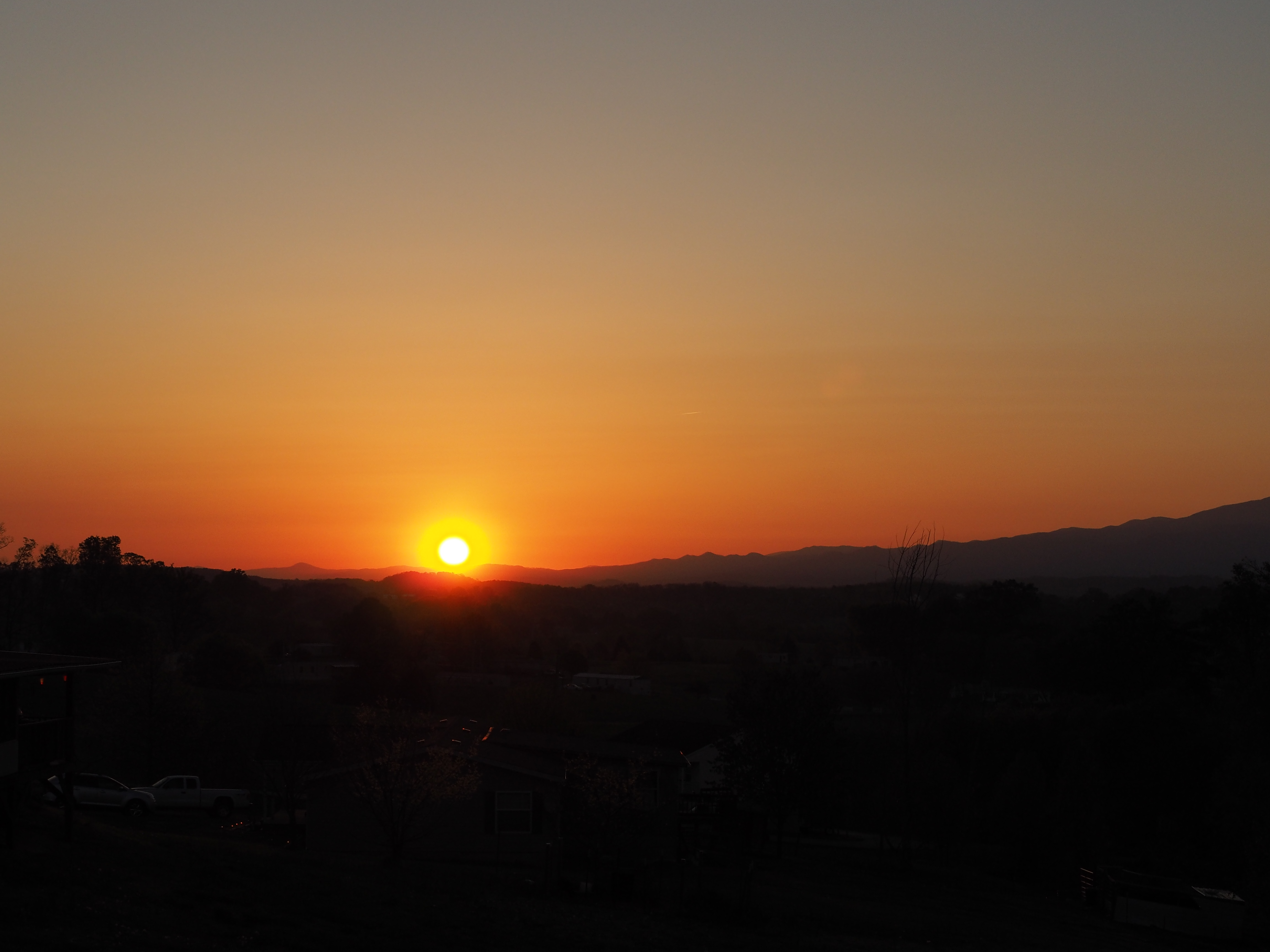
sunset
20130424_3293

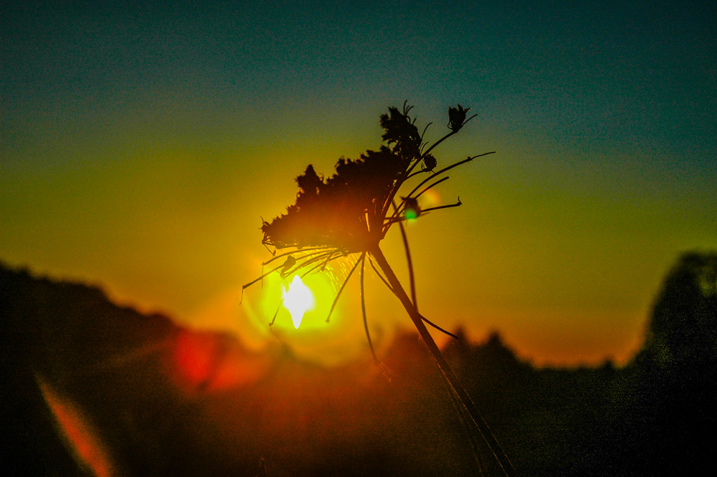
Reflection

P4181126
P4181129
sunset

sunset

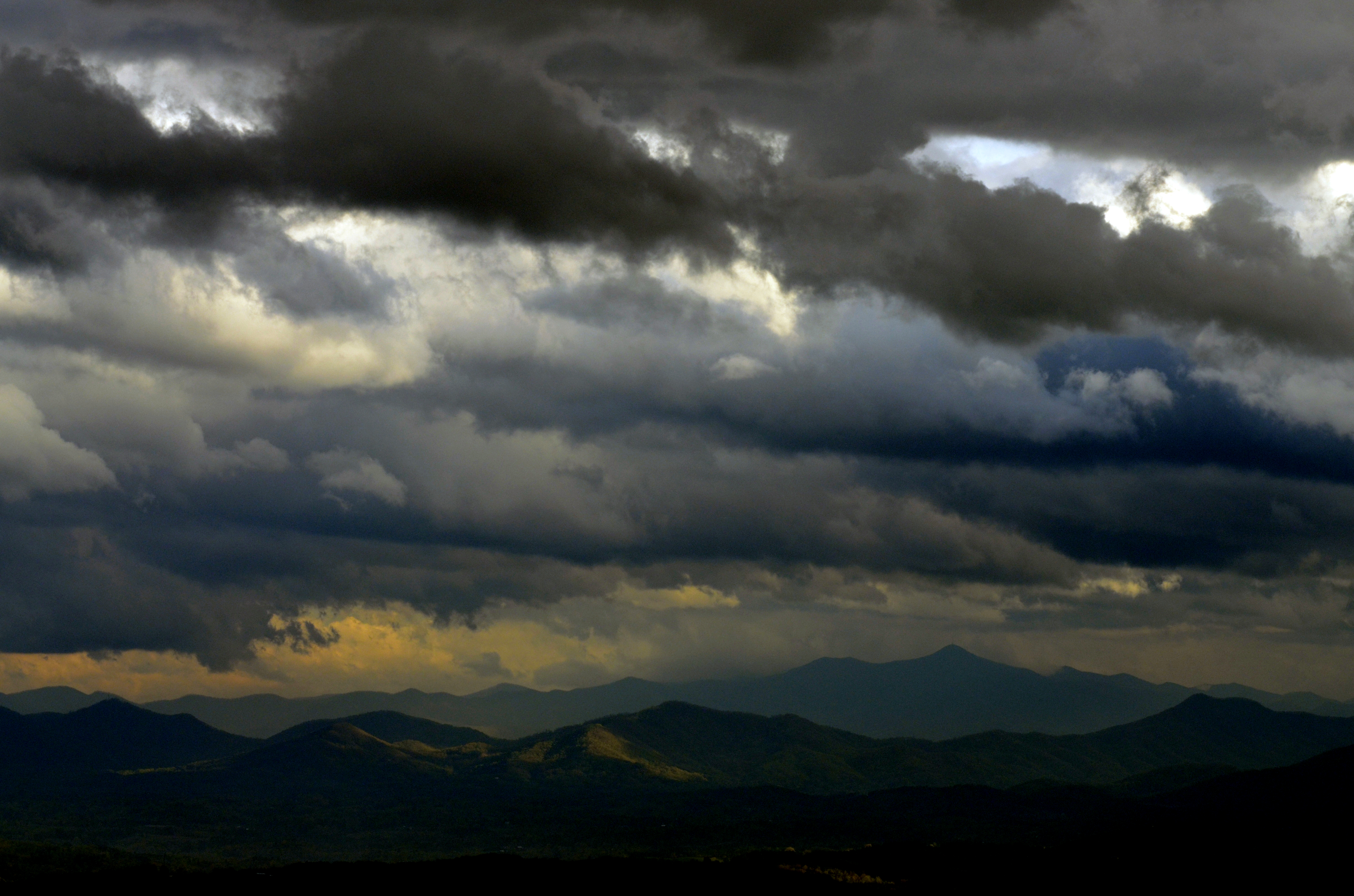
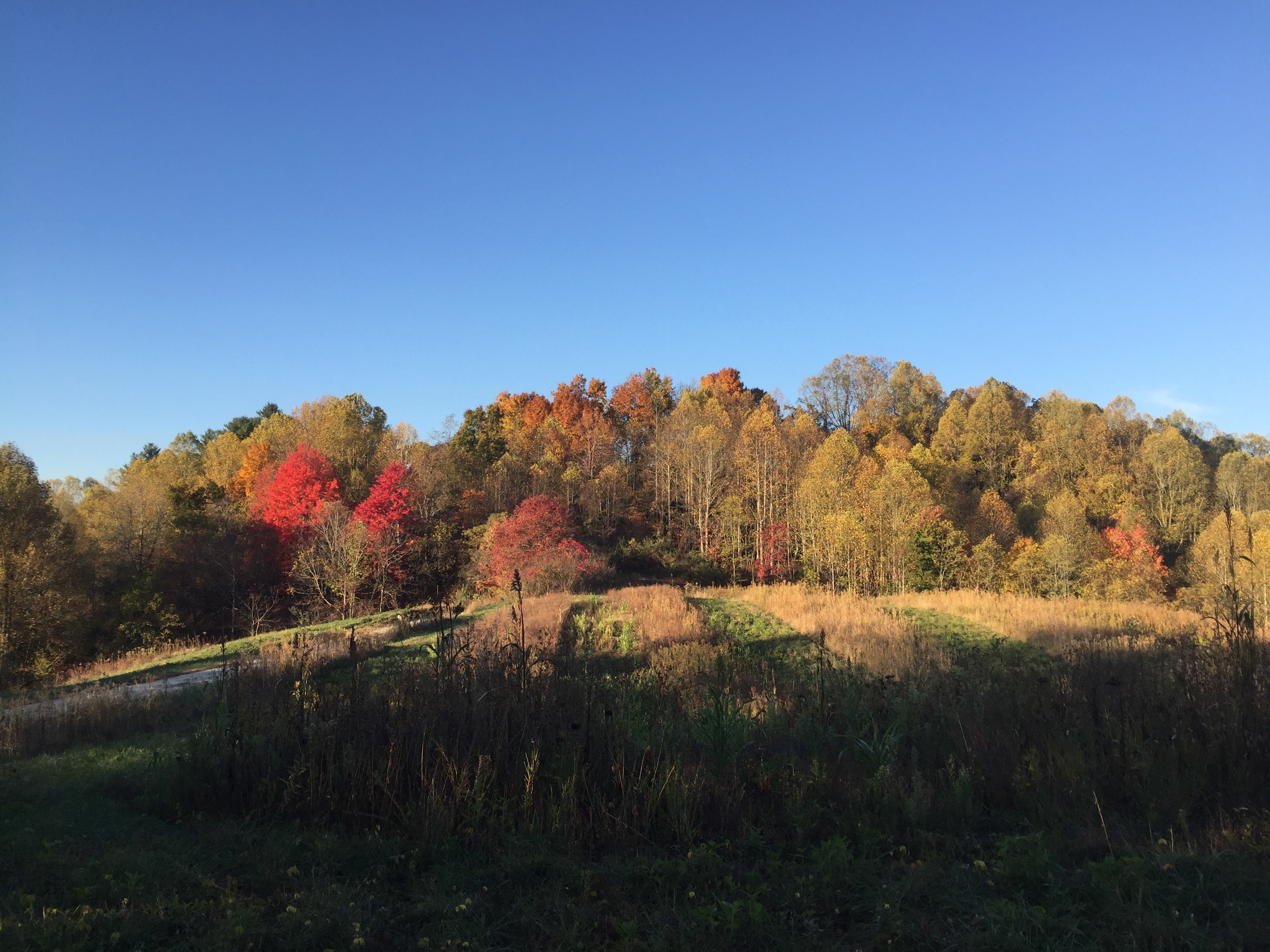
Houston Valley

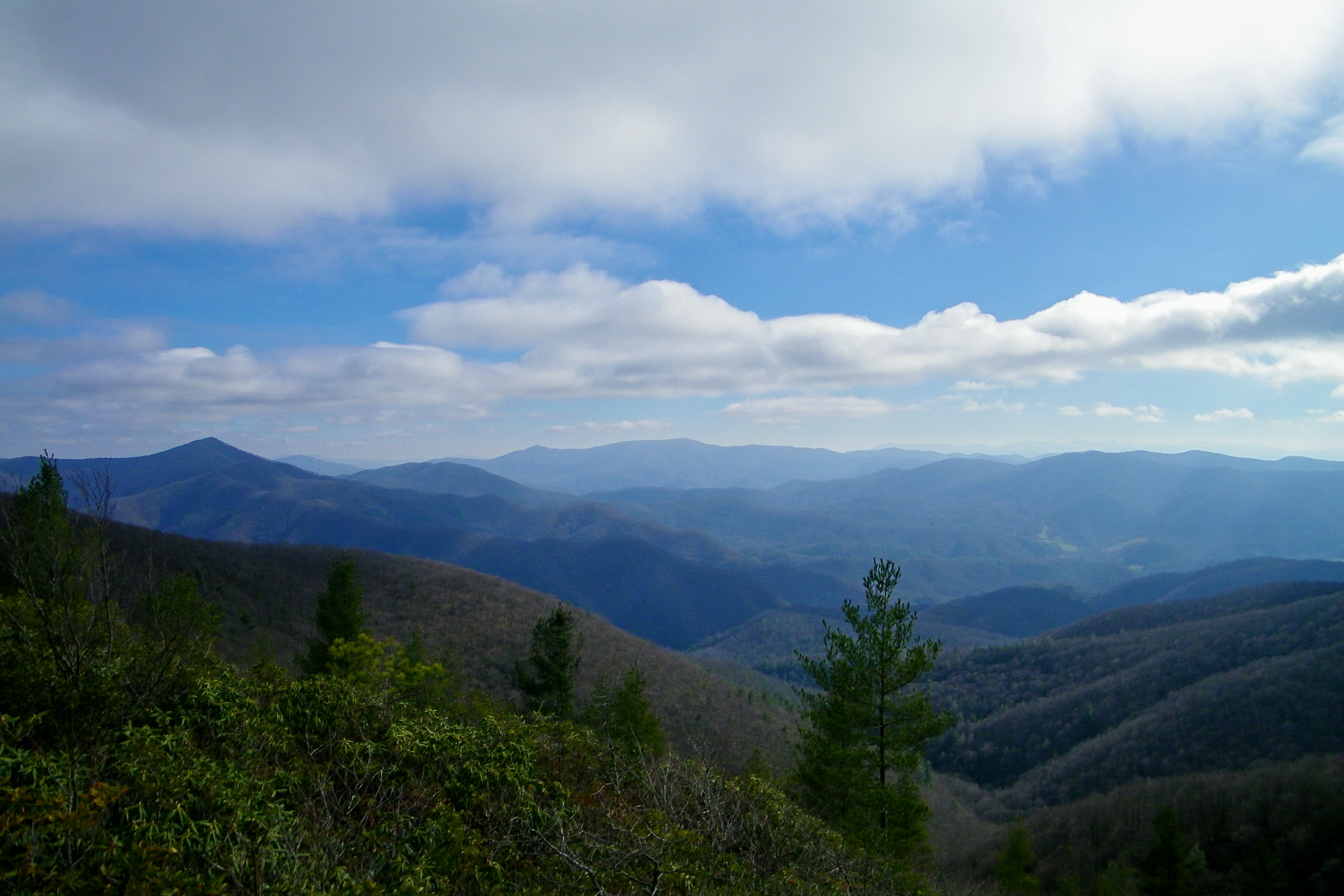
Trail Intersection heading to W4T/SU-095 - Paint Mtn
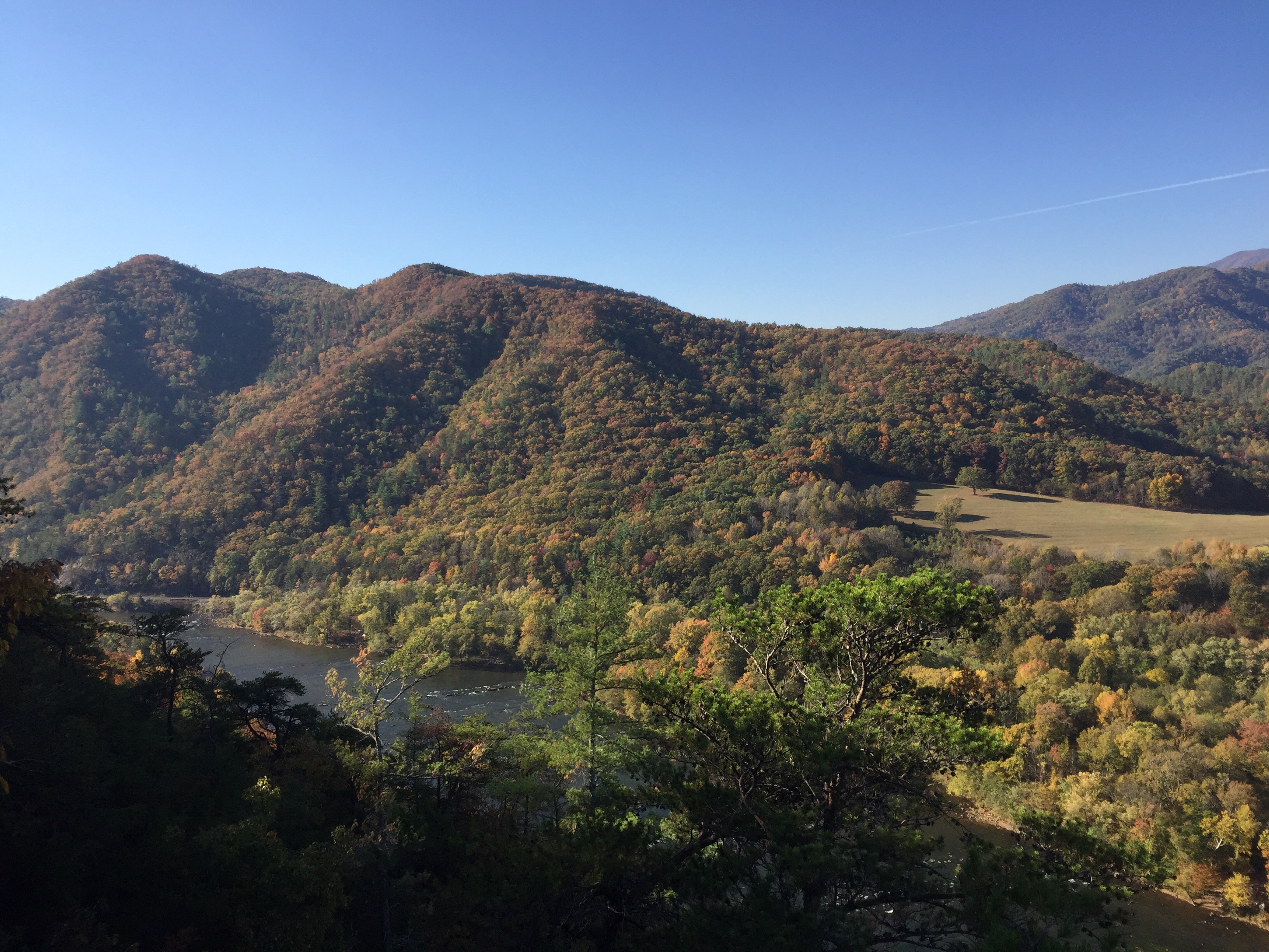
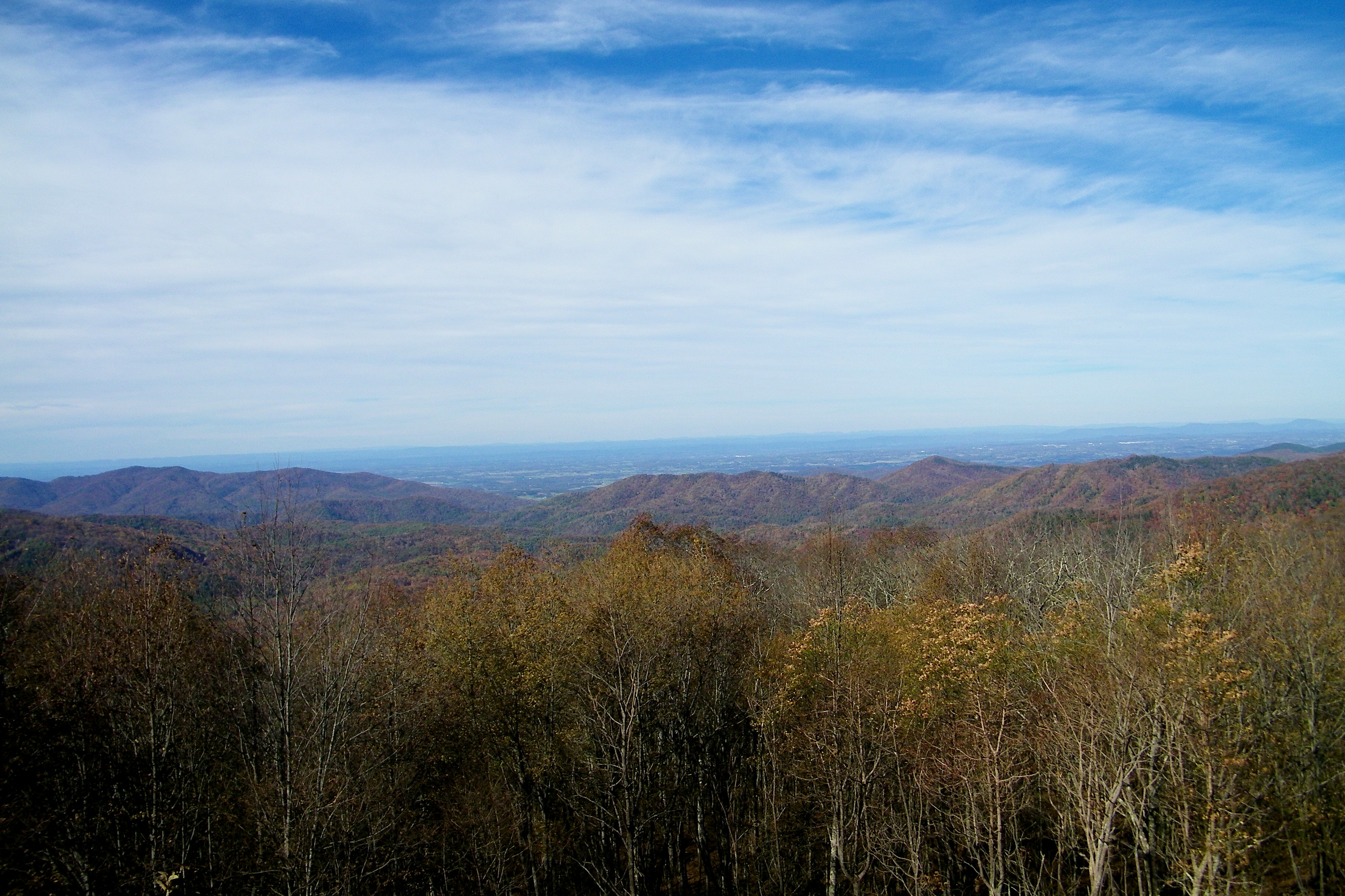
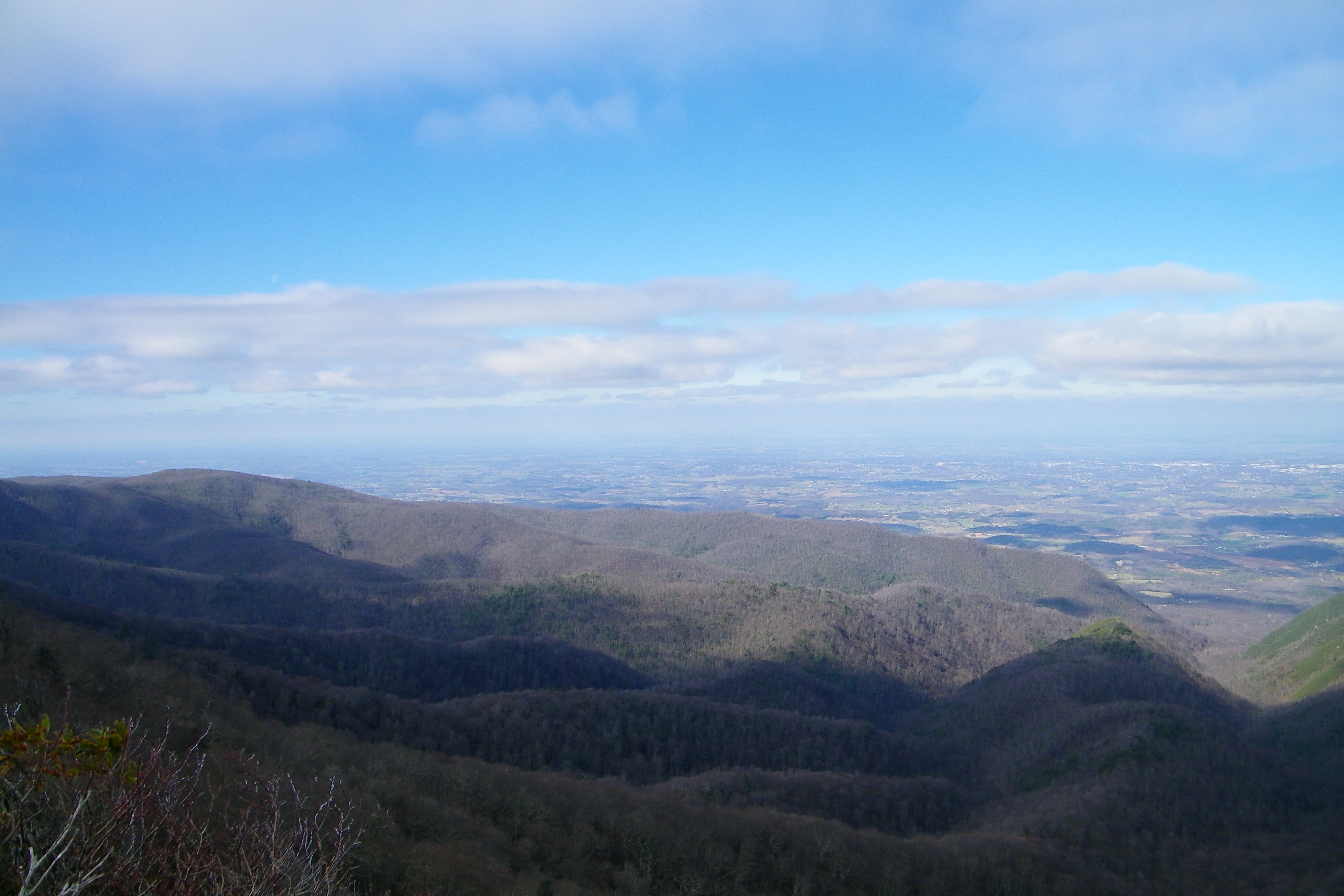
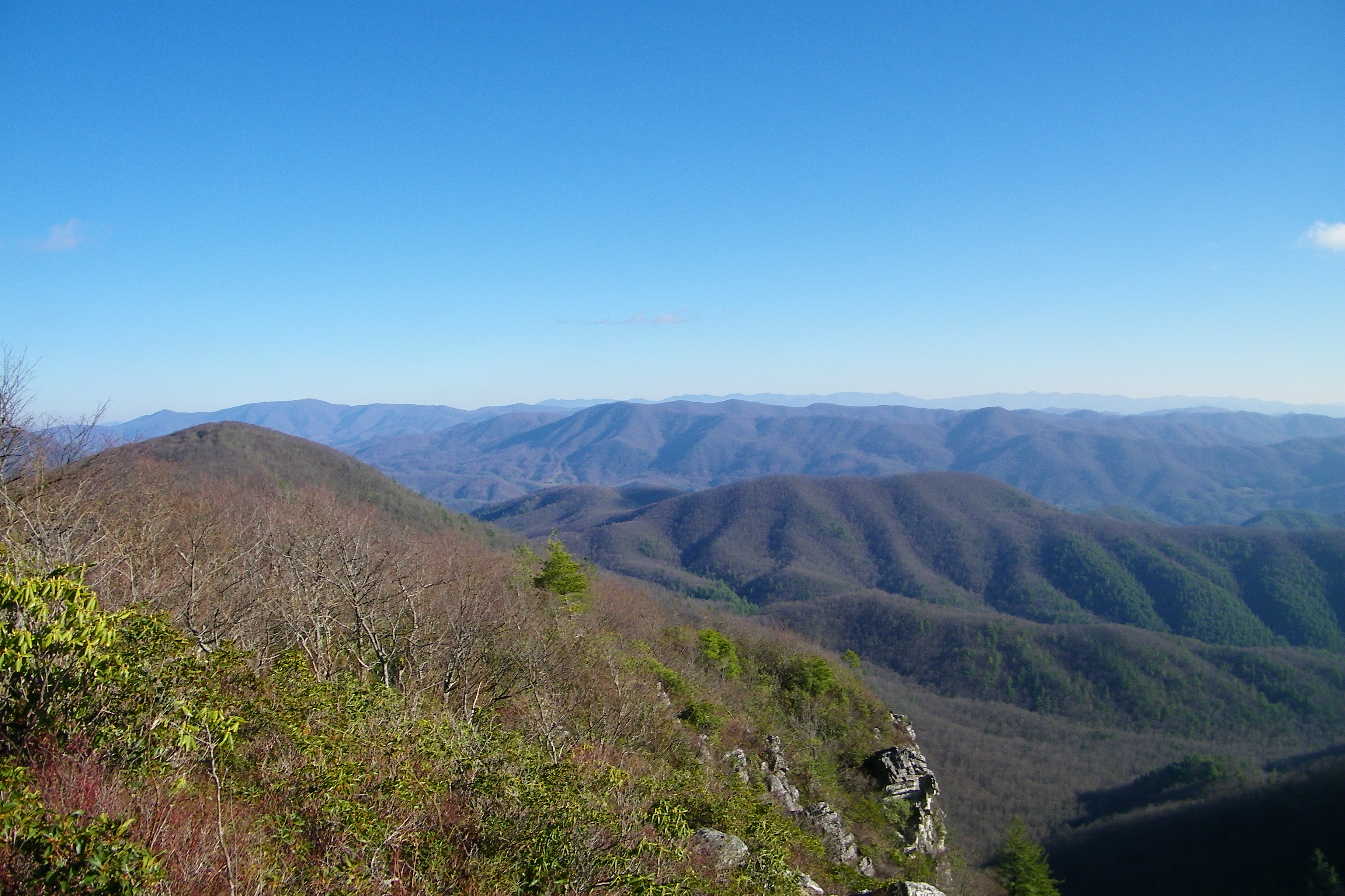
View from Lovers Leap above the French Broad River.
View from Mill Ridge field near Tanyard Gap north of Hot Springs NC. The last time I saw this the sky was filled with smoke (6 months ago). Electrobuzz is accompanying me to claim those lost four miles on a quick six miler down to Hot Springs.
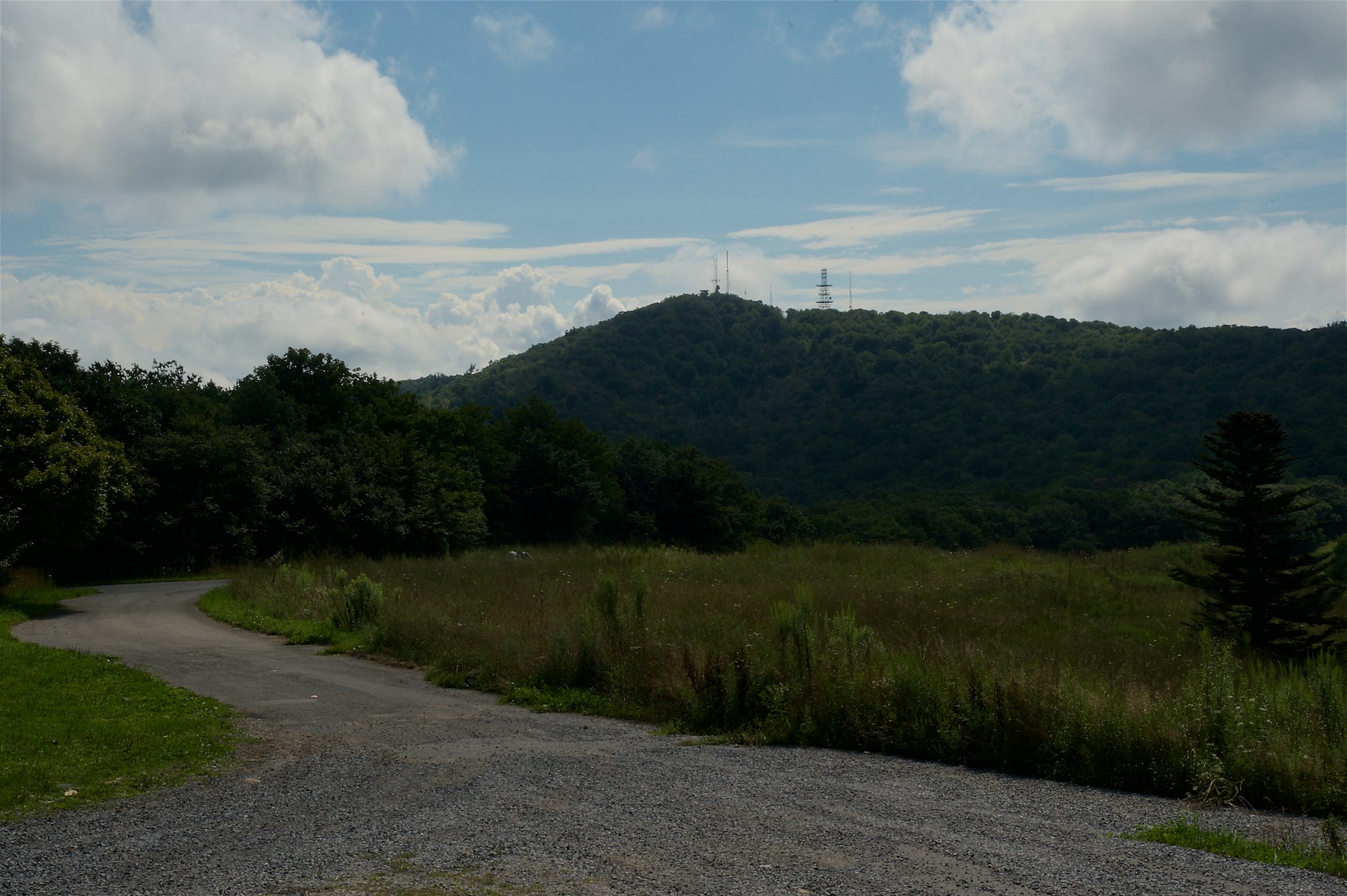
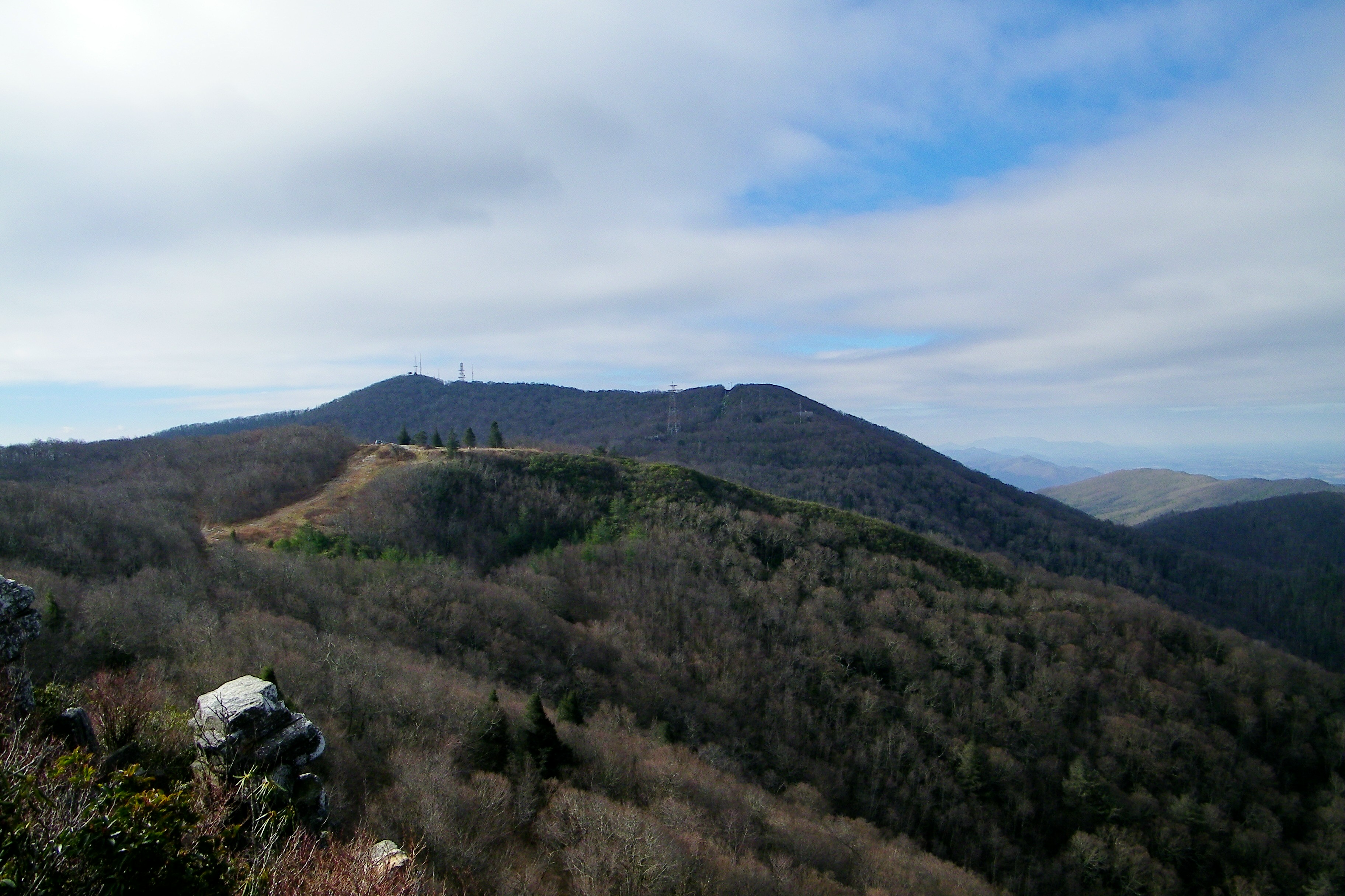
Camp Creek Bald Lookout Tower

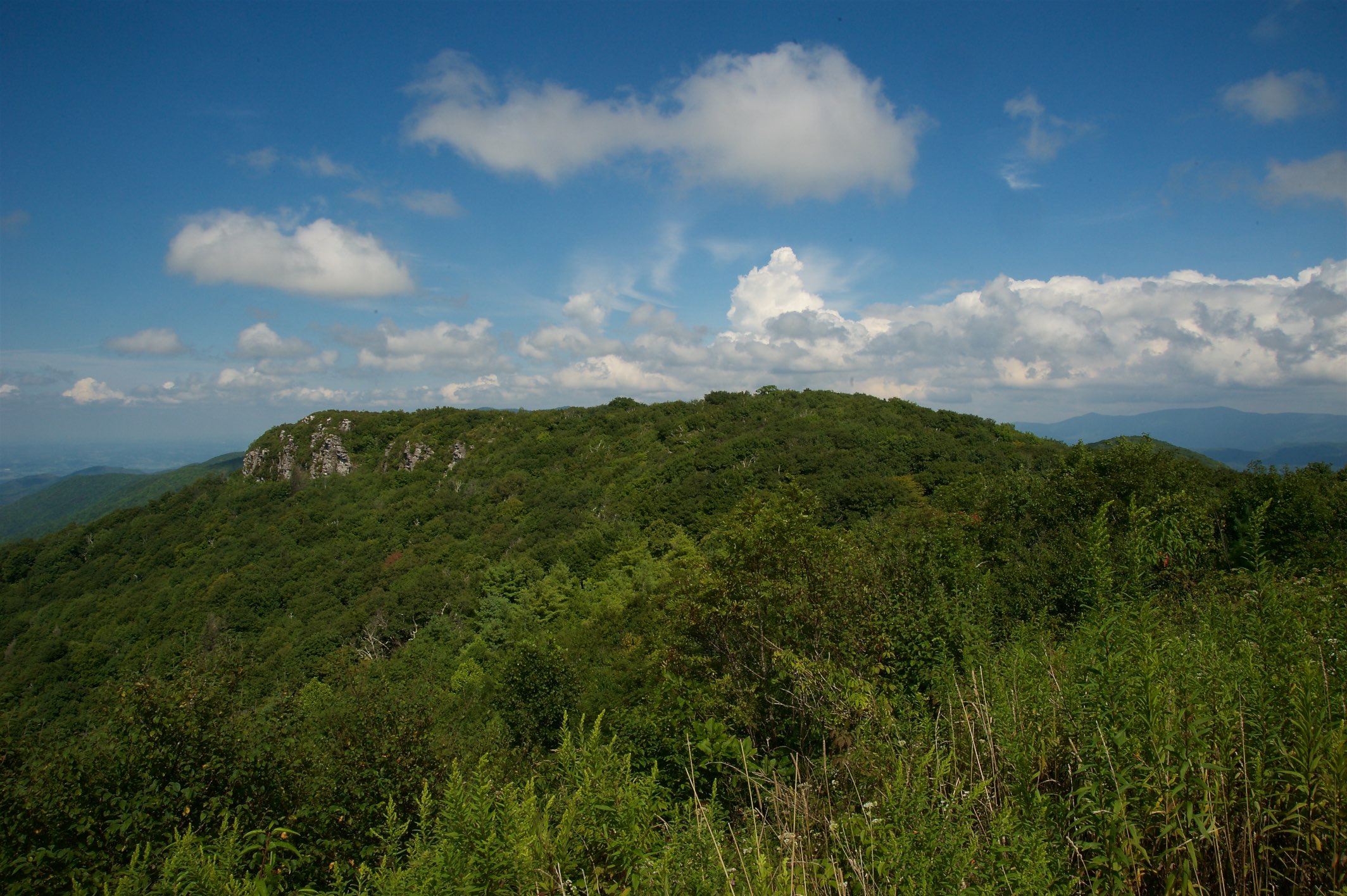
Blackstack Cliffs on Little Firescald Knob
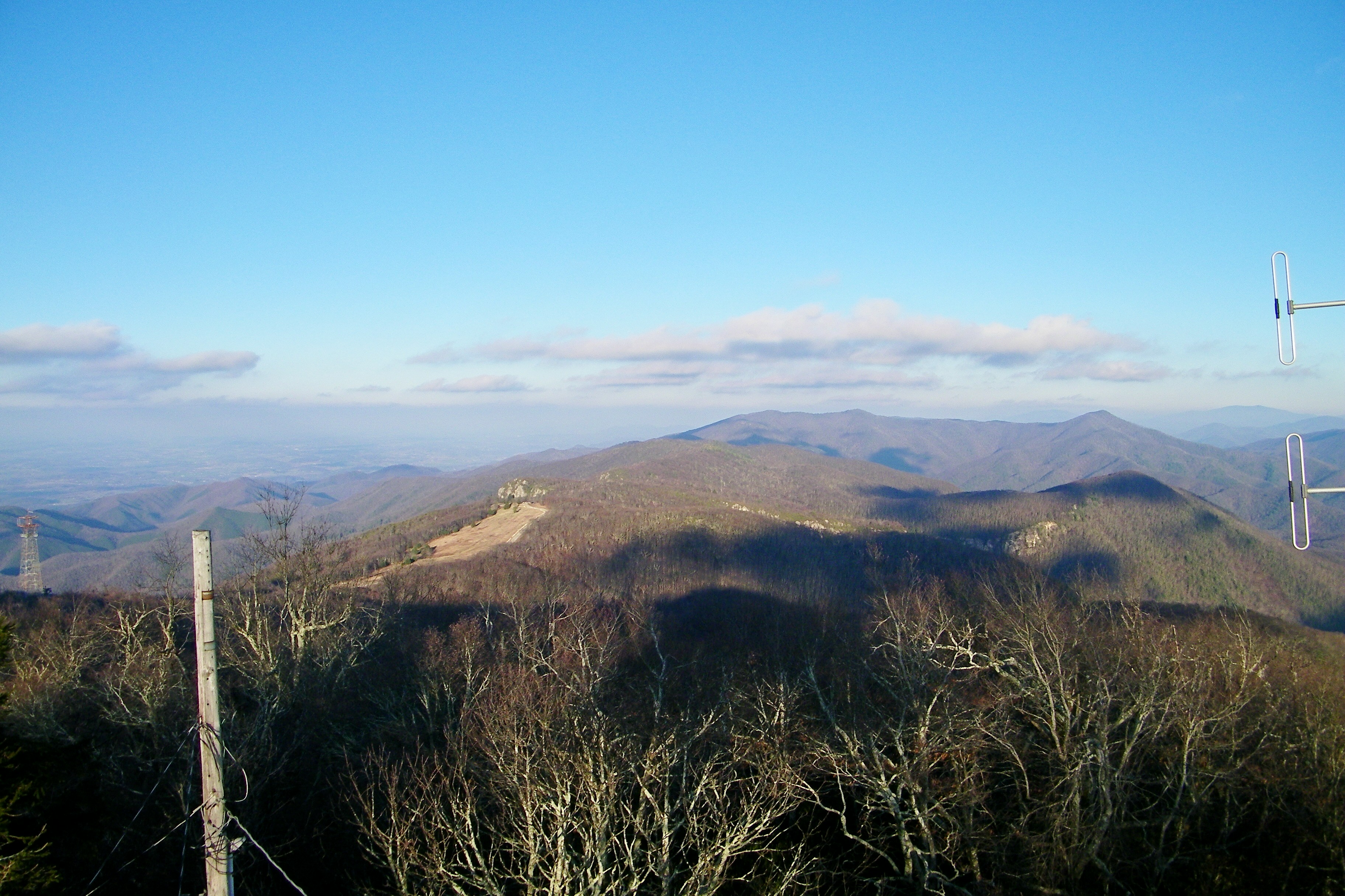
Camp Creek Bald Lookout Tower
Big Firescald Knob
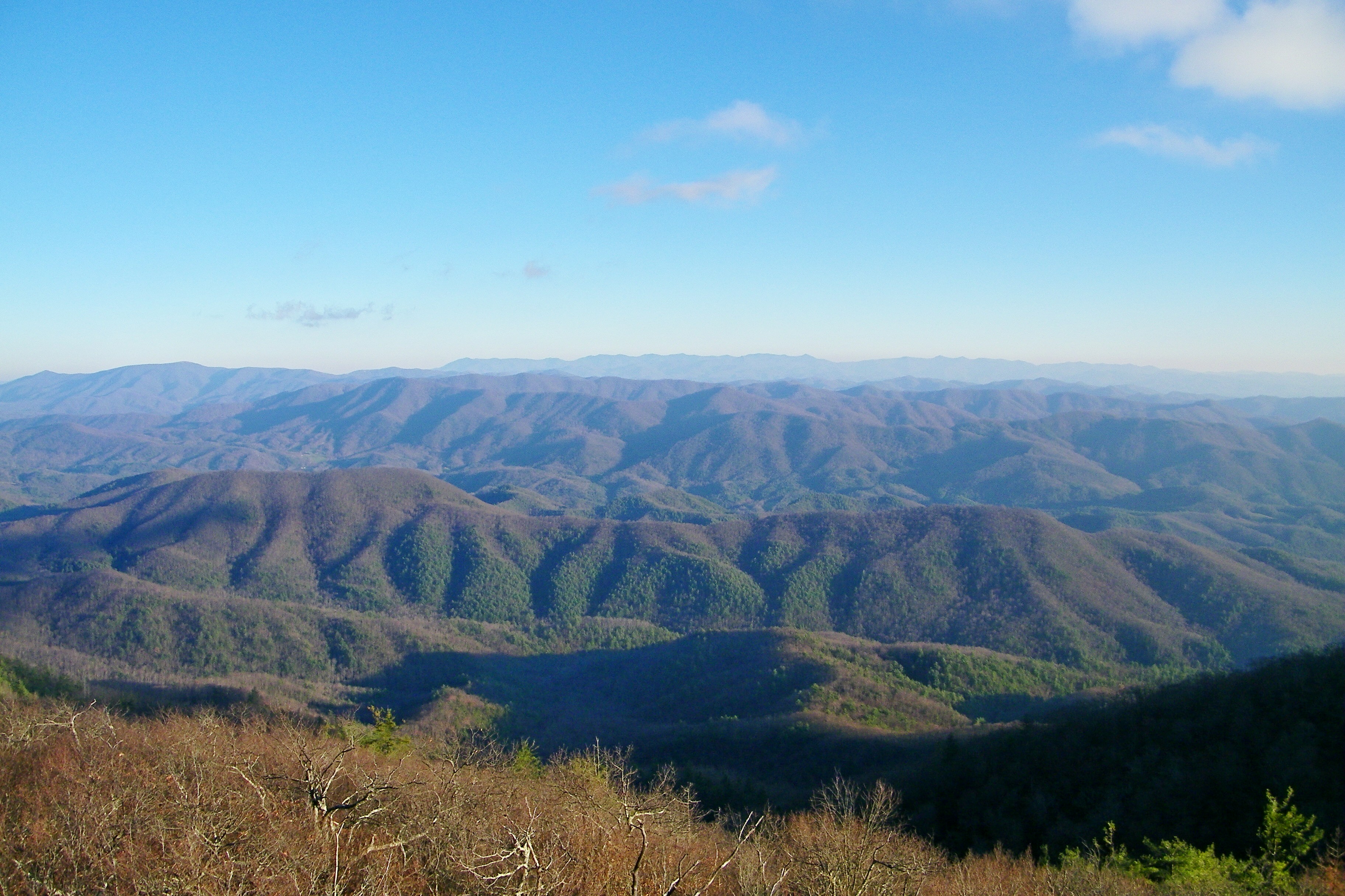
View of W4C/CM-028 - Camp Creek Bald
Rich Mountain Fire Tower
Blackstack Cliffs on Little Firescald Knob
Big Firescald Knob

View from W4C/CM-028 - Camp Creek Bald
View of Blackstack Cliffs
Whiterock Cliffs
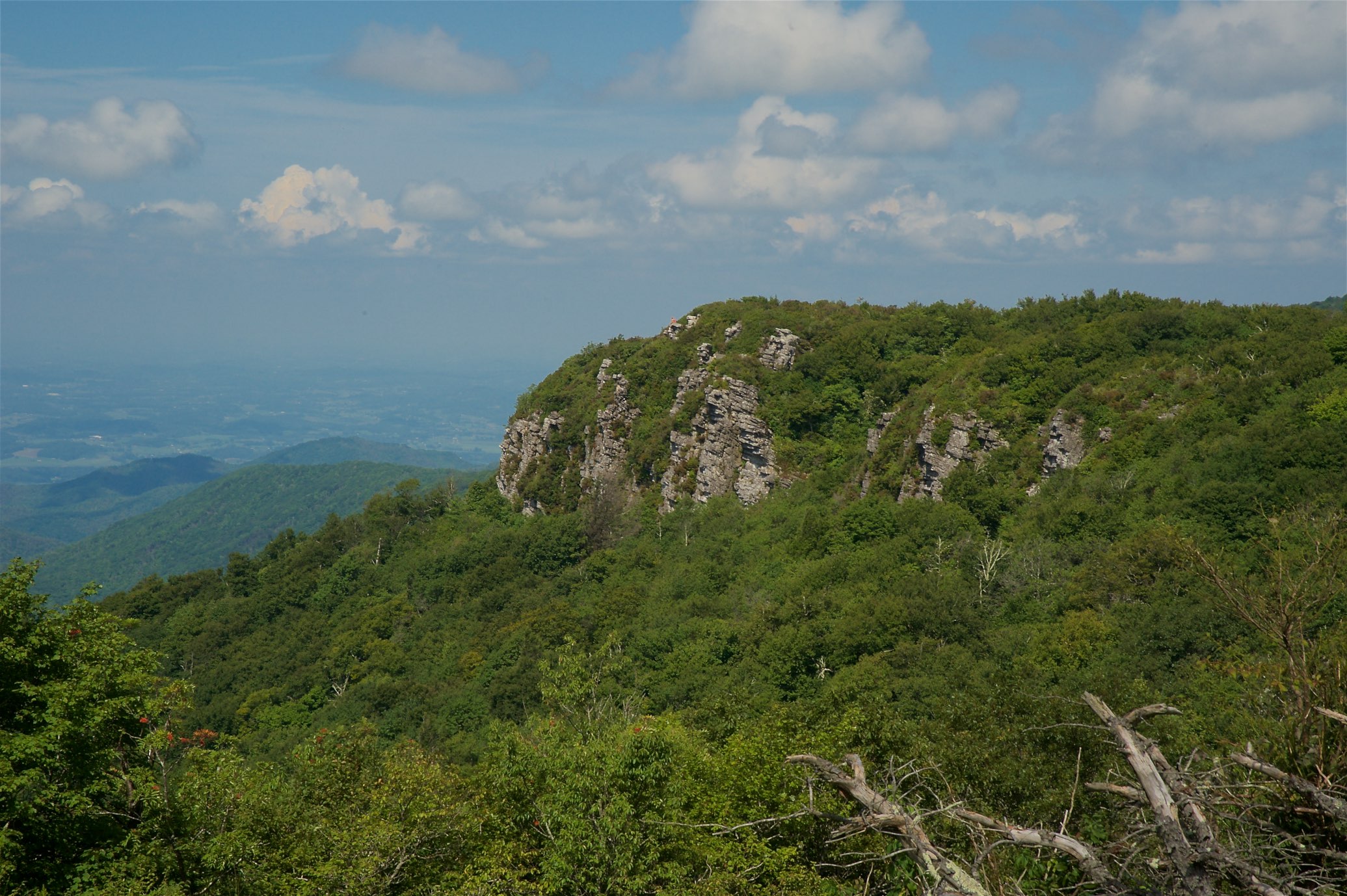
View of Blackstack Cliffs
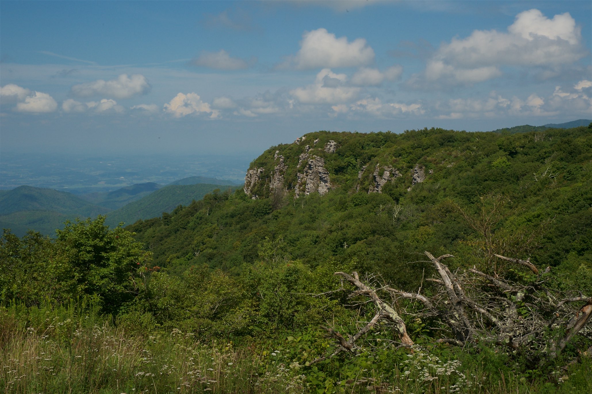
View of Blackstack Cliffs
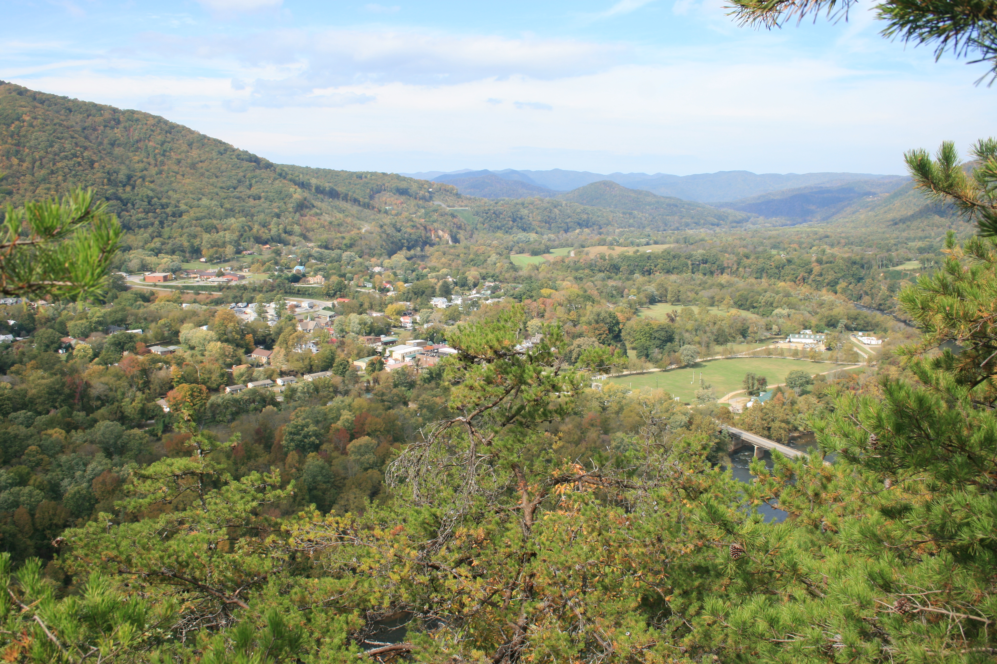
View of Hot Springs from Lovers Leap.

Rich Mountain Fire Tower
Viking Mountain Road, Viking Mountain Rd, Tennessee, USA Karte
Suchen Sie einen anderen Ort
Nahe Plätze
Viking Mountain Rd, Greeneville, TN, USA
Viking Mountain Rd, Greeneville, TN, USA
Log Cabin Rd, Greeneville, TN, USA
Desormeaux Way, Greeneville, TN, USA
NC-, Marshall, NC, USA
Viking Mountain Rd, Greeneville, TN, USA
Viking Mountain Rd, Greeneville, TN, USA
Allenstand, NC, USA
NC-, Marshall, NC, USA
North Carolina, NC-, Marshall, NC, USA
Kitchen Branch Rd, Greeneville, TN, USA
Middle Laurel Church Rd, Marshall, NC, USA
Hazel Shelton Ln, Greeneville, TN, USA
Coppersnake Holler Rd, Marshall, NC, USA
Rock Branch Road, Rock Branch Rd, Marshall, NC, USA
Rollins Chapel Rd, Greeneville, TN, USA
White Rock, NC, USA
Tilson Branch Rd, Marshall, NC, USA
Cutshall Town Road, Cutshall Town Rd, 2, Laurel, NC, USA
Lower Paint Creek Rd, Greeneville, TN, USA
Letzte Suche
- Red Dog Mine, AK, USA Sonnenaufgang Sonnenuntergang Zeiten
- Am Bahnhof, Am bhf, Borken, Germany Sonnenaufgang Sonnenuntergang Zeiten
- 4th St E, Sonoma, CA, USA Sonnenaufgang Sonnenuntergang Zeiten
- Oakland Ave, Williamsport, PA, USA Sonnenaufgang Sonnenuntergang Zeiten
- Via Roma, Pieranica CR, Italien Sonnenaufgang Sonnenuntergang Zeiten
- Glockenturm, Grad, Dubrovnik, Kroatien Sonnenaufgang Sonnenuntergang Zeiten
- Trelew, Chubut Province, Argentina Sonnenaufgang Sonnenuntergang Zeiten
- Hartfords Bluff Cir, Mt Pleasant, SC, USA Sonnenaufgang Sonnenuntergang Zeiten
- Kita-ku, Kumamoto, Präfektur Kumamoto, Japan Sonnenaufgang Sonnenuntergang Zeiten
- Pingtan Island, Pingtan County, Fuzhou, China Sonnenaufgang Sonnenuntergang Zeiten