US-12, Naches, WA, USA Sonnenaufgang Sonnenuntergang Zeiten
Location: USA > Washington > Lewis County >
Zeitzone:
America/Los_Angeles
Ortszeit:
2025-06-28 22:19:50
Länge:
-122.02578
Breite:
46.5377859
Sonnenaufgang Heute:
05:18:22 AM
Sonnenuntergang Heute:
09:05:09 PM
Tageslänge heute:
15h 46m 47s
Sonnenaufgang morgen:
05:18:56 AM
Sonnenuntergang Morgen:
09:04:58 PM
Tageslänge von morgen:
15h 46m 2s
Alle Termine anzeigen
| Datum | Sonnenaufgang | Sonnenuntergang | Tageslänge |
|---|---|---|---|
| 2025-01-01 | 07:51:56 AM | 04:32:44 PM | 8h 40m 48s |
| 2025-01-02 | 07:51:51 AM | 04:33:44 PM | 8h 41m 53s |
| 2025-01-03 | 07:51:43 AM | 04:34:45 PM | 8h 43m 2s |
| 2025-01-04 | 07:51:33 AM | 04:35:49 PM | 8h 44m 16s |
| 2025-01-05 | 07:51:20 AM | 04:36:55 PM | 8h 45m 35s |
| 2025-01-06 | 07:51:04 AM | 04:38:02 PM | 8h 46m 58s |
| 2025-01-07 | 07:50:46 AM | 04:39:11 PM | 8h 48m 25s |
| 2025-01-08 | 07:50:25 AM | 04:40:21 PM | 8h 49m 56s |
| 2025-01-09 | 07:50:01 AM | 04:41:34 PM | 8h 51m 33s |
| 2025-01-10 | 07:49:34 AM | 04:42:47 PM | 8h 53m 13s |
| 2025-01-11 | 07:49:05 AM | 04:44:02 PM | 8h 54m 57s |
| 2025-01-12 | 07:48:33 AM | 04:45:19 PM | 8h 56m 46s |
| 2025-01-13 | 07:47:59 AM | 04:46:37 PM | 8h 58m 38s |
| 2025-01-14 | 07:47:22 AM | 04:47:56 PM | 9h 0m 34s |
| 2025-01-15 | 07:46:43 AM | 04:49:16 PM | 9h 2m 33s |
| 2025-01-16 | 07:46:01 AM | 04:50:37 PM | 9h 4m 36s |
| 2025-01-17 | 07:45:17 AM | 04:51:59 PM | 9h 6m 42s |
| 2025-01-18 | 07:44:30 AM | 04:53:22 PM | 9h 8m 52s |
| 2025-01-19 | 07:43:41 AM | 04:54:46 PM | 9h 11m 5s |
| 2025-01-20 | 07:42:49 AM | 04:56:11 PM | 9h 13m 22s |
| 2025-01-21 | 07:41:56 AM | 04:57:37 PM | 9h 15m 41s |
| 2025-01-22 | 07:41:00 AM | 04:59:03 PM | 9h 18m 3s |
| 2025-01-23 | 07:40:01 AM | 05:00:31 PM | 9h 20m 30s |
| 2025-01-24 | 07:39:01 AM | 05:01:58 PM | 9h 22m 57s |
| 2025-01-25 | 07:37:58 AM | 05:03:26 PM | 9h 25m 28s |
| 2025-01-26 | 07:36:54 AM | 05:04:55 PM | 9h 28m 1s |
| 2025-01-27 | 07:35:47 AM | 05:06:24 PM | 9h 30m 37s |
| 2025-01-28 | 07:34:38 AM | 05:07:54 PM | 9h 33m 16s |
| 2025-01-29 | 07:33:28 AM | 05:09:23 PM | 9h 35m 55s |
| 2025-01-30 | 07:32:15 AM | 05:10:54 PM | 9h 38m 39s |
| 2025-01-31 | 07:31:01 AM | 05:12:24 PM | 9h 41m 23s |
| 2025-02-01 | 07:29:44 AM | 05:13:54 PM | 9h 44m 10s |
| 2025-02-02 | 07:28:26 AM | 05:15:25 PM | 9h 46m 59s |
| 2025-02-03 | 07:27:06 AM | 05:16:56 PM | 9h 49m 50s |
| 2025-02-04 | 07:25:45 AM | 05:18:27 PM | 9h 52m 42s |
| 2025-02-05 | 07:24:22 AM | 05:19:58 PM | 9h 55m 36s |
| 2025-02-06 | 07:22:57 AM | 05:21:29 PM | 9h 58m 32s |
| 2025-02-07 | 07:21:30 AM | 05:23:00 PM | 10h 1m 30s |
| 2025-02-08 | 07:20:02 AM | 05:24:31 PM | 10h 4m 29s |
| 2025-02-09 | 07:18:33 AM | 05:26:02 PM | 10h 7m 29s |
| 2025-02-10 | 07:17:02 AM | 05:27:33 PM | 10h 10m 31s |
| 2025-02-11 | 07:15:30 AM | 05:29:04 PM | 10h 13m 34s |
| 2025-02-12 | 07:13:56 AM | 05:30:34 PM | 10h 16m 38s |
| 2025-02-13 | 07:12:21 AM | 05:32:05 PM | 10h 19m 44s |
| 2025-02-14 | 07:10:45 AM | 05:33:35 PM | 10h 22m 50s |
| 2025-02-15 | 07:09:07 AM | 05:35:05 PM | 10h 25m 58s |
| 2025-02-16 | 07:07:29 AM | 05:36:35 PM | 10h 29m 6s |
| 2025-02-17 | 07:05:49 AM | 05:38:04 PM | 10h 32m 15s |
| 2025-02-18 | 07:04:08 AM | 05:39:34 PM | 10h 35m 26s |
| 2025-02-19 | 07:02:26 AM | 05:41:03 PM | 10h 38m 37s |
| 2025-02-20 | 07:00:43 AM | 05:42:32 PM | 10h 41m 49s |
| 2025-02-21 | 06:58:59 AM | 05:44:00 PM | 10h 45m 1s |
| 2025-02-22 | 06:57:14 AM | 05:45:29 PM | 10h 48m 15s |
| 2025-02-23 | 06:55:28 AM | 05:46:57 PM | 10h 51m 29s |
| 2025-02-24 | 06:53:41 AM | 05:48:25 PM | 10h 54m 44s |
| 2025-02-25 | 06:51:53 AM | 05:49:52 PM | 10h 57m 59s |
| 2025-02-26 | 06:50:05 AM | 05:51:20 PM | 11h 1m 15s |
| 2025-02-27 | 06:48:15 AM | 05:52:47 PM | 11h 4m 32s |
| 2025-02-28 | 06:46:25 AM | 05:54:13 PM | 11h 7m 48s |
| 2025-03-01 | 06:44:34 AM | 05:55:40 PM | 11h 11m 6s |
| 2025-03-02 | 06:42:43 AM | 05:57:06 PM | 11h 14m 23s |
| 2025-03-03 | 06:40:51 AM | 05:58:32 PM | 11h 17m 41s |
| 2025-03-04 | 06:38:58 AM | 05:59:57 PM | 11h 20m 59s |
| 2025-03-05 | 06:37:05 AM | 06:01:23 PM | 11h 24m 18s |
| 2025-03-06 | 06:35:11 AM | 06:02:48 PM | 11h 27m 37s |
| 2025-03-07 | 06:33:17 AM | 06:04:13 PM | 11h 30m 56s |
| 2025-03-08 | 06:31:22 AM | 06:05:37 PM | 11h 34m 15s |
| 2025-03-09 | 07:29:32 AM | 07:06:58 PM | 11h 37m 26s |
| 2025-03-10 | 07:27:36 AM | 07:08:22 PM | 11h 40m 46s |
| 2025-03-11 | 07:25:40 AM | 07:09:46 PM | 11h 44m 6s |
| 2025-03-12 | 07:23:44 AM | 07:11:10 PM | 11h 47m 26s |
| 2025-03-13 | 07:21:47 AM | 07:12:33 PM | 11h 50m 46s |
| 2025-03-14 | 07:19:50 AM | 07:13:57 PM | 11h 54m 7s |
| 2025-03-15 | 07:17:53 AM | 07:15:20 PM | 11h 57m 27s |
| 2025-03-16 | 07:15:56 AM | 07:16:42 PM | 12h 0m 46s |
| 2025-03-17 | 07:13:58 AM | 07:18:05 PM | 12h 4m 7s |
| 2025-03-18 | 07:12:01 AM | 07:19:28 PM | 12h 7m 27s |
| 2025-03-19 | 07:10:03 AM | 07:20:50 PM | 12h 10m 47s |
| 2025-03-20 | 07:08:05 AM | 07:22:12 PM | 12h 14m 7s |
| 2025-03-21 | 07:06:07 AM | 07:23:34 PM | 12h 17m 27s |
| 2025-03-22 | 07:04:09 AM | 07:24:56 PM | 12h 20m 47s |
| 2025-03-23 | 07:02:11 AM | 07:26:18 PM | 12h 24m 7s |
| 2025-03-24 | 07:00:13 AM | 07:27:40 PM | 12h 27m 27s |
| 2025-03-25 | 06:58:15 AM | 07:29:02 PM | 12h 30m 47s |
| 2025-03-26 | 06:56:17 AM | 07:30:23 PM | 12h 34m 6s |
| 2025-03-27 | 06:54:20 AM | 07:31:45 PM | 12h 37m 25s |
| 2025-03-28 | 06:52:22 AM | 07:33:06 PM | 12h 40m 44s |
| 2025-03-29 | 06:50:25 AM | 07:34:27 PM | 12h 44m 2s |
| 2025-03-30 | 06:48:28 AM | 07:35:49 PM | 12h 47m 21s |
| 2025-03-31 | 06:46:31 AM | 07:37:10 PM | 12h 50m 39s |
| 2025-04-01 | 06:44:35 AM | 07:38:31 PM | 12h 53m 56s |
| 2025-04-02 | 06:42:38 AM | 07:39:52 PM | 12h 57m 14s |
| 2025-04-03 | 06:40:43 AM | 07:41:13 PM | 13h 0m 30s |
| 2025-04-04 | 06:38:47 AM | 07:42:34 PM | 13h 3m 47s |
| 2025-04-05 | 06:36:52 AM | 07:43:55 PM | 13h 7m 3s |
| 2025-04-06 | 06:34:57 AM | 07:45:16 PM | 13h 10m 19s |
| 2025-04-07 | 06:33:03 AM | 07:46:38 PM | 13h 13m 35s |
| 2025-04-08 | 06:31:10 AM | 07:47:59 PM | 13h 16m 49s |
| 2025-04-09 | 06:29:17 AM | 07:49:20 PM | 13h 20m 3s |
| 2025-04-10 | 06:27:24 AM | 07:50:41 PM | 13h 23m 17s |
| 2025-04-11 | 06:25:32 AM | 07:52:02 PM | 13h 26m 30s |
| 2025-04-12 | 06:23:41 AM | 07:53:23 PM | 13h 29m 42s |
| 2025-04-13 | 06:21:50 AM | 07:54:44 PM | 13h 32m 54s |
| 2025-04-14 | 06:20:00 AM | 07:56:05 PM | 13h 36m 5s |
| 2025-04-15 | 06:18:11 AM | 07:57:26 PM | 13h 39m 15s |
| 2025-04-16 | 06:16:23 AM | 07:58:46 PM | 13h 42m 23s |
| 2025-04-17 | 06:14:35 AM | 08:00:07 PM | 13h 45m 32s |
| 2025-04-18 | 06:12:48 AM | 08:01:28 PM | 13h 48m 40s |
| 2025-04-19 | 06:11:03 AM | 08:02:49 PM | 13h 51m 46s |
| 2025-04-20 | 06:09:18 AM | 08:04:10 PM | 13h 54m 52s |
| 2025-04-21 | 06:07:34 AM | 08:05:31 PM | 13h 57m 57s |
| 2025-04-22 | 06:05:51 AM | 08:06:51 PM | 14h 1m 0s |
| 2025-04-23 | 06:04:09 AM | 08:08:12 PM | 14h 4m 3s |
| 2025-04-24 | 06:02:28 AM | 08:09:32 PM | 14h 7m 4s |
| 2025-04-25 | 06:00:48 AM | 08:10:53 PM | 14h 10m 5s |
| 2025-04-26 | 05:59:09 AM | 08:12:13 PM | 14h 13m 4s |
| 2025-04-27 | 05:57:32 AM | 08:13:33 PM | 14h 16m 1s |
| 2025-04-28 | 05:55:56 AM | 08:14:53 PM | 14h 18m 57s |
| 2025-04-29 | 05:54:20 AM | 08:16:12 PM | 14h 21m 52s |
| 2025-04-30 | 05:52:47 AM | 08:17:32 PM | 14h 24m 45s |
| 2025-05-01 | 05:51:14 AM | 08:18:51 PM | 14h 27m 37s |
| 2025-05-02 | 05:49:43 AM | 08:20:10 PM | 14h 30m 27s |
| 2025-05-03 | 05:48:13 AM | 08:21:29 PM | 14h 33m 16s |
| 2025-05-04 | 05:46:45 AM | 08:22:47 PM | 14h 36m 2s |
| 2025-05-05 | 05:45:18 AM | 08:24:05 PM | 14h 38m 47s |
| 2025-05-06 | 05:43:53 AM | 08:25:23 PM | 14h 41m 30s |
| 2025-05-07 | 05:42:29 AM | 08:26:40 PM | 14h 44m 11s |
| 2025-05-08 | 05:41:07 AM | 08:27:57 PM | 14h 46m 50s |
| 2025-05-09 | 05:39:47 AM | 08:29:13 PM | 14h 49m 26s |
| 2025-05-10 | 05:38:28 AM | 08:30:29 PM | 14h 52m 1s |
| 2025-05-11 | 05:37:11 AM | 08:31:44 PM | 14h 54m 33s |
| 2025-05-12 | 05:35:56 AM | 08:32:59 PM | 14h 57m 3s |
| 2025-05-13 | 05:34:42 AM | 08:34:13 PM | 14h 59m 31s |
| 2025-05-14 | 05:33:30 AM | 08:35:26 PM | 15h 1m 56s |
| 2025-05-15 | 05:32:20 AM | 08:36:38 PM | 15h 4m 18s |
| 2025-05-16 | 05:31:12 AM | 08:37:50 PM | 15h 6m 38s |
| 2025-05-17 | 05:30:06 AM | 08:39:01 PM | 15h 8m 55s |
| 2025-05-18 | 05:29:02 AM | 08:40:11 PM | 15h 11m 9s |
| 2025-05-19 | 05:28:00 AM | 08:41:20 PM | 15h 13m 20s |
| 2025-05-20 | 05:27:00 AM | 08:42:28 PM | 15h 15m 28s |
| 2025-05-21 | 05:26:02 AM | 08:43:35 PM | 15h 17m 33s |
| 2025-05-22 | 05:25:06 AM | 08:44:41 PM | 15h 19m 35s |
| 2025-05-23 | 05:24:12 AM | 08:45:46 PM | 15h 21m 34s |
| 2025-05-24 | 05:23:21 AM | 08:46:50 PM | 15h 23m 29s |
| 2025-05-25 | 05:22:31 AM | 08:47:53 PM | 15h 25m 22s |
| 2025-05-26 | 05:21:44 AM | 08:48:54 PM | 15h 27m 10s |
| 2025-05-27 | 05:20:59 AM | 08:49:54 PM | 15h 28m 55s |
| 2025-05-28 | 05:20:17 AM | 08:50:52 PM | 15h 30m 35s |
| 2025-05-29 | 05:19:37 AM | 08:51:49 PM | 15h 32m 12s |
| 2025-05-30 | 05:18:59 AM | 08:52:45 PM | 15h 33m 46s |
| 2025-05-31 | 05:18:23 AM | 08:53:39 PM | 15h 35m 16s |
| 2025-06-01 | 05:17:50 AM | 08:54:31 PM | 15h 36m 41s |
| 2025-06-02 | 05:17:19 AM | 08:55:22 PM | 15h 38m 3s |
| 2025-06-03 | 05:16:51 AM | 08:56:11 PM | 15h 39m 20s |
| 2025-06-04 | 05:16:25 AM | 08:56:58 PM | 15h 40m 33s |
| 2025-06-05 | 05:16:01 AM | 08:57:44 PM | 15h 41m 43s |
| 2025-06-06 | 05:15:40 AM | 08:58:27 PM | 15h 42m 47s |
| 2025-06-07 | 05:15:22 AM | 08:59:09 PM | 15h 43m 47s |
| 2025-06-08 | 05:15:06 AM | 08:59:49 PM | 15h 44m 43s |
| 2025-06-09 | 05:14:52 AM | 09:00:26 PM | 15h 45m 34s |
| 2025-06-10 | 05:14:41 AM | 09:01:02 PM | 15h 46m 21s |
| 2025-06-11 | 05:14:32 AM | 09:01:36 PM | 15h 47m 4s |
| 2025-06-12 | 05:14:26 AM | 09:02:07 PM | 15h 47m 41s |
| 2025-06-13 | 05:14:22 AM | 09:02:36 PM | 15h 48m 14s |
| 2025-06-14 | 05:14:21 AM | 09:03:03 PM | 15h 48m 42s |
| 2025-06-15 | 05:14:22 AM | 09:03:28 PM | 15h 49m 6s |
| 2025-06-16 | 05:14:25 AM | 09:03:50 PM | 15h 49m 25s |
| 2025-06-17 | 05:14:31 AM | 09:04:10 PM | 15h 49m 39s |
| 2025-06-18 | 05:14:40 AM | 09:04:28 PM | 15h 49m 48s |
| 2025-06-19 | 05:14:50 AM | 09:04:44 PM | 15h 49m 54s |
| 2025-06-20 | 05:15:04 AM | 09:04:57 PM | 15h 49m 53s |
| 2025-06-21 | 05:15:19 AM | 09:05:07 PM | 15h 49m 48s |
| 2025-06-22 | 05:15:37 AM | 09:05:15 PM | 15h 49m 38s |
| 2025-06-23 | 05:15:57 AM | 09:05:21 PM | 15h 49m 24s |
| 2025-06-24 | 05:16:19 AM | 09:05:24 PM | 15h 49m 5s |
| 2025-06-25 | 05:16:44 AM | 09:05:25 PM | 15h 48m 41s |
| 2025-06-26 | 05:17:10 AM | 09:05:23 PM | 15h 48m 13s |
| 2025-06-27 | 05:17:39 AM | 09:05:19 PM | 15h 47m 40s |
| 2025-06-28 | 05:18:10 AM | 09:05:12 PM | 15h 47m 2s |
| 2025-06-29 | 05:18:43 AM | 09:05:02 PM | 15h 46m 19s |
| 2025-06-30 | 05:19:18 AM | 09:04:51 PM | 15h 45m 33s |
| 2025-07-01 | 05:19:55 AM | 09:04:36 PM | 15h 44m 41s |
| 2025-07-02 | 05:20:34 AM | 09:04:19 PM | 15h 43m 45s |
| 2025-07-03 | 05:21:15 AM | 09:04:00 PM | 15h 42m 45s |
| 2025-07-04 | 05:21:58 AM | 09:03:38 PM | 15h 41m 40s |
| 2025-07-05 | 05:22:42 AM | 09:03:13 PM | 15h 40m 31s |
| 2025-07-06 | 05:23:28 AM | 09:02:47 PM | 15h 39m 19s |
| 2025-07-07 | 05:24:16 AM | 09:02:17 PM | 15h 38m 1s |
| 2025-07-08 | 05:25:05 AM | 09:01:45 PM | 15h 36m 40s |
| 2025-07-09 | 05:25:57 AM | 09:01:11 PM | 15h 35m 14s |
| 2025-07-10 | 05:26:49 AM | 09:00:35 PM | 15h 33m 46s |
| 2025-07-11 | 05:27:43 AM | 08:59:56 PM | 15h 32m 13s |
| 2025-07-12 | 05:28:38 AM | 08:59:14 PM | 15h 30m 36s |
| 2025-07-13 | 05:29:35 AM | 08:58:31 PM | 15h 28m 56s |
| 2025-07-14 | 05:30:33 AM | 08:57:45 PM | 15h 27m 12s |
| 2025-07-15 | 05:31:33 AM | 08:56:56 PM | 15h 25m 23s |
| 2025-07-16 | 05:32:33 AM | 08:56:06 PM | 15h 23m 33s |
| 2025-07-17 | 05:33:35 AM | 08:55:13 PM | 15h 21m 38s |
| 2025-07-18 | 05:34:38 AM | 08:54:18 PM | 15h 19m 40s |
| 2025-07-19 | 05:35:41 AM | 08:53:21 PM | 15h 17m 40s |
| 2025-07-20 | 05:36:46 AM | 08:52:22 PM | 15h 15m 36s |
| 2025-07-21 | 05:37:52 AM | 08:51:20 PM | 15h 13m 28s |
| 2025-07-22 | 05:38:59 AM | 08:50:17 PM | 15h 11m 18s |
| 2025-07-23 | 05:40:06 AM | 08:49:12 PM | 15h 9m 6s |
| 2025-07-24 | 05:41:14 AM | 08:48:04 PM | 15h 6m 50s |
| 2025-07-25 | 05:42:23 AM | 08:46:55 PM | 15h 4m 32s |
| 2025-07-26 | 05:43:33 AM | 08:45:44 PM | 15h 2m 11s |
| 2025-07-27 | 05:44:44 AM | 08:44:31 PM | 14h 59m 47s |
| 2025-07-28 | 05:45:55 AM | 08:43:16 PM | 14h 57m 21s |
| 2025-07-29 | 05:47:06 AM | 08:41:59 PM | 14h 54m 53s |
| 2025-07-30 | 05:48:18 AM | 08:40:41 PM | 14h 52m 23s |
| 2025-07-31 | 05:49:31 AM | 08:39:21 PM | 14h 49m 50s |
| 2025-08-01 | 05:50:44 AM | 08:37:59 PM | 14h 47m 15s |
| 2025-08-02 | 05:51:57 AM | 08:36:36 PM | 14h 44m 39s |
| 2025-08-03 | 05:53:11 AM | 08:35:11 PM | 14h 42m 0s |
| 2025-08-04 | 05:54:25 AM | 08:33:44 PM | 14h 39m 19s |
| 2025-08-05 | 05:55:40 AM | 08:32:16 PM | 14h 36m 36s |
| 2025-08-06 | 05:56:55 AM | 08:30:46 PM | 14h 33m 51s |
| 2025-08-07 | 05:58:10 AM | 08:29:15 PM | 14h 31m 5s |
| 2025-08-08 | 05:59:25 AM | 08:27:43 PM | 14h 28m 18s |
| 2025-08-09 | 06:00:41 AM | 08:26:09 PM | 14h 25m 28s |
| 2025-08-10 | 06:01:57 AM | 08:24:34 PM | 14h 22m 37s |
| 2025-08-11 | 06:03:13 AM | 08:22:58 PM | 14h 19m 45s |
| 2025-08-12 | 06:04:29 AM | 08:21:20 PM | 14h 16m 51s |
| 2025-08-13 | 06:05:45 AM | 08:19:41 PM | 14h 13m 56s |
| 2025-08-14 | 06:07:01 AM | 08:18:01 PM | 14h 11m 0s |
| 2025-08-15 | 06:08:17 AM | 08:16:20 PM | 14h 8m 3s |
| 2025-08-16 | 06:09:34 AM | 08:14:38 PM | 14h 5m 4s |
| 2025-08-17 | 06:10:50 AM | 08:12:54 PM | 14h 2m 4s |
| 2025-08-18 | 06:12:07 AM | 08:11:10 PM | 13h 59m 3s |
| 2025-08-19 | 06:13:23 AM | 08:09:25 PM | 13h 56m 2s |
| 2025-08-20 | 06:14:40 AM | 08:07:38 PM | 13h 52m 58s |
| 2025-08-21 | 06:15:57 AM | 08:05:51 PM | 13h 49m 54s |
| 2025-08-22 | 06:17:13 AM | 08:04:03 PM | 13h 46m 50s |
| 2025-08-23 | 06:18:30 AM | 08:02:14 PM | 13h 43m 44s |
| 2025-08-24 | 06:19:46 AM | 08:00:24 PM | 13h 40m 38s |
| 2025-08-25 | 06:21:03 AM | 07:58:34 PM | 13h 37m 31s |
| 2025-08-26 | 06:22:19 AM | 07:56:42 PM | 13h 34m 23s |
| 2025-08-27 | 06:23:36 AM | 07:54:50 PM | 13h 31m 14s |
| 2025-08-28 | 06:24:53 AM | 07:52:58 PM | 13h 28m 5s |
| 2025-08-29 | 06:26:09 AM | 07:51:04 PM | 13h 24m 55s |
| 2025-08-30 | 06:27:25 AM | 07:49:10 PM | 13h 21m 45s |
| 2025-08-31 | 06:28:42 AM | 07:47:16 PM | 13h 18m 34s |
| 2025-09-01 | 06:29:58 AM | 07:45:21 PM | 13h 15m 23s |
| 2025-09-02 | 06:31:15 AM | 07:43:25 PM | 13h 12m 10s |
| 2025-09-03 | 06:32:31 AM | 07:41:29 PM | 13h 8m 58s |
| 2025-09-04 | 06:33:48 AM | 07:39:32 PM | 13h 5m 44s |
| 2025-09-05 | 06:35:04 AM | 07:37:35 PM | 13h 2m 31s |
| 2025-09-06 | 06:36:20 AM | 07:35:38 PM | 12h 59m 18s |
| 2025-09-07 | 06:37:37 AM | 07:33:40 PM | 12h 56m 3s |
| 2025-09-08 | 06:38:53 AM | 07:31:42 PM | 12h 52m 49s |
| 2025-09-09 | 06:40:09 AM | 07:29:43 PM | 12h 49m 34s |
| 2025-09-10 | 06:41:26 AM | 07:27:45 PM | 12h 46m 19s |
| 2025-09-11 | 06:42:42 AM | 07:25:46 PM | 12h 43m 4s |
| 2025-09-12 | 06:43:59 AM | 07:23:47 PM | 12h 39m 48s |
| 2025-09-13 | 06:45:16 AM | 07:21:47 PM | 12h 36m 31s |
| 2025-09-14 | 06:46:32 AM | 07:19:48 PM | 12h 33m 16s |
| 2025-09-15 | 06:47:49 AM | 07:17:48 PM | 12h 29m 59s |
| 2025-09-16 | 06:49:06 AM | 07:15:48 PM | 12h 26m 42s |
| 2025-09-17 | 06:50:23 AM | 07:13:49 PM | 12h 23m 26s |
| 2025-09-18 | 06:51:40 AM | 07:11:49 PM | 12h 20m 9s |
| 2025-09-19 | 06:52:57 AM | 07:09:49 PM | 12h 16m 52s |
| 2025-09-20 | 06:54:14 AM | 07:07:49 PM | 12h 13m 35s |
| 2025-09-21 | 06:55:31 AM | 07:05:50 PM | 12h 10m 19s |
| 2025-09-22 | 06:56:49 AM | 07:03:50 PM | 12h 7m 1s |
| 2025-09-23 | 06:58:06 AM | 07:01:51 PM | 12h 3m 45s |
| 2025-09-24 | 06:59:24 AM | 06:59:51 PM | 12h 0m 27s |
| 2025-09-25 | 07:00:42 AM | 06:57:52 PM | 11h 57m 10s |
| 2025-09-26 | 07:02:00 AM | 06:55:53 PM | 11h 53m 53s |
| 2025-09-27 | 07:03:19 AM | 06:53:54 PM | 11h 50m 35s |
| 2025-09-28 | 07:04:37 AM | 06:51:56 PM | 11h 47m 19s |
| 2025-09-29 | 07:05:56 AM | 06:49:58 PM | 11h 44m 2s |
| 2025-09-30 | 07:07:15 AM | 06:48:00 PM | 11h 40m 45s |
| 2025-10-01 | 07:08:34 AM | 06:46:03 PM | 11h 37m 29s |
| 2025-10-02 | 07:09:54 AM | 06:44:06 PM | 11h 34m 12s |
| 2025-10-03 | 07:11:14 AM | 06:42:09 PM | 11h 30m 55s |
| 2025-10-04 | 07:12:34 AM | 06:40:13 PM | 11h 27m 39s |
| 2025-10-05 | 07:13:54 AM | 06:38:17 PM | 11h 24m 23s |
| 2025-10-06 | 07:15:15 AM | 06:36:22 PM | 11h 21m 7s |
| 2025-10-07 | 07:16:35 AM | 06:34:28 PM | 11h 17m 53s |
| 2025-10-08 | 07:17:57 AM | 06:32:34 PM | 11h 14m 37s |
| 2025-10-09 | 07:19:18 AM | 06:30:40 PM | 11h 11m 22s |
| 2025-10-10 | 07:20:40 AM | 06:28:48 PM | 11h 8m 8s |
| 2025-10-11 | 07:22:02 AM | 06:26:56 PM | 11h 4m 54s |
| 2025-10-12 | 07:23:24 AM | 06:25:04 PM | 11h 1m 40s |
| 2025-10-13 | 07:24:47 AM | 06:23:14 PM | 10h 58m 27s |
| 2025-10-14 | 07:26:10 AM | 06:21:24 PM | 10h 55m 14s |
| 2025-10-15 | 07:27:33 AM | 06:19:36 PM | 10h 52m 3s |
| 2025-10-16 | 07:28:56 AM | 06:17:48 PM | 10h 48m 52s |
| 2025-10-17 | 07:30:20 AM | 06:16:01 PM | 10h 45m 41s |
| 2025-10-18 | 07:31:44 AM | 06:14:14 PM | 10h 42m 30s |
| 2025-10-19 | 07:33:09 AM | 06:12:29 PM | 10h 39m 20s |
| 2025-10-20 | 07:34:34 AM | 06:10:45 PM | 10h 36m 11s |
| 2025-10-21 | 07:35:59 AM | 06:09:02 PM | 10h 33m 3s |
| 2025-10-22 | 07:37:24 AM | 06:07:20 PM | 10h 29m 56s |
| 2025-10-23 | 07:38:49 AM | 06:05:39 PM | 10h 26m 50s |
| 2025-10-24 | 07:40:15 AM | 06:04:00 PM | 10h 23m 45s |
| 2025-10-25 | 07:41:41 AM | 06:02:21 PM | 10h 20m 40s |
| 2025-10-26 | 07:43:07 AM | 06:00:44 PM | 10h 17m 37s |
| 2025-10-27 | 07:44:34 AM | 05:59:08 PM | 10h 14m 34s |
| 2025-10-28 | 07:46:00 AM | 05:57:34 PM | 10h 11m 34s |
| 2025-10-29 | 07:47:27 AM | 05:56:01 PM | 10h 8m 34s |
| 2025-10-30 | 07:48:54 AM | 05:54:29 PM | 10h 5m 35s |
| 2025-10-31 | 07:50:21 AM | 05:52:59 PM | 10h 2m 38s |
| 2025-11-01 | 07:51:48 AM | 05:51:30 PM | 9h 59m 42s |
| 2025-11-02 | 06:53:19 AM | 04:49:59 PM | 9h 56m 40s |
| 2025-11-03 | 06:54:47 AM | 04:48:34 PM | 9h 53m 47s |
| 2025-11-04 | 06:56:14 AM | 04:47:10 PM | 9h 50m 56s |
| 2025-11-05 | 06:57:41 AM | 04:45:47 PM | 9h 48m 6s |
| 2025-11-06 | 06:59:09 AM | 04:44:27 PM | 9h 45m 18s |
| 2025-11-07 | 07:00:36 AM | 04:43:08 PM | 9h 42m 32s |
| 2025-11-08 | 07:02:03 AM | 04:41:51 PM | 9h 39m 48s |
| 2025-11-09 | 07:03:30 AM | 04:40:36 PM | 9h 37m 6s |
| 2025-11-10 | 07:04:56 AM | 04:39:23 PM | 9h 34m 27s |
| 2025-11-11 | 07:06:23 AM | 04:38:12 PM | 9h 31m 49s |
| 2025-11-12 | 07:07:49 AM | 04:37:03 PM | 9h 29m 14s |
| 2025-11-13 | 07:09:15 AM | 04:35:55 PM | 9h 26m 40s |
| 2025-11-14 | 07:10:40 AM | 04:34:50 PM | 9h 24m 10s |
| 2025-11-15 | 07:12:05 AM | 04:33:47 PM | 9h 21m 42s |
| 2025-11-16 | 07:13:30 AM | 04:32:46 PM | 9h 19m 16s |
| 2025-11-17 | 07:14:54 AM | 04:31:48 PM | 9h 16m 54s |
| 2025-11-18 | 07:16:17 AM | 04:30:51 PM | 9h 14m 34s |
| 2025-11-19 | 07:17:40 AM | 04:29:57 PM | 9h 12m 17s |
| 2025-11-20 | 07:19:02 AM | 04:29:05 PM | 9h 10m 3s |
| 2025-11-21 | 07:20:23 AM | 04:28:16 PM | 9h 7m 53s |
| 2025-11-22 | 07:21:44 AM | 04:27:29 PM | 9h 5m 45s |
| 2025-11-23 | 07:23:03 AM | 04:26:44 PM | 9h 3m 41s |
| 2025-11-24 | 07:24:22 AM | 04:26:02 PM | 9h 1m 40s |
| 2025-11-25 | 07:25:39 AM | 04:25:22 PM | 8h 59m 43s |
| 2025-11-26 | 07:26:56 AM | 04:24:45 PM | 8h 57m 49s |
| 2025-11-27 | 07:28:11 AM | 04:24:11 PM | 8h 56m 0s |
| 2025-11-28 | 07:29:25 AM | 04:23:39 PM | 8h 54m 14s |
| 2025-11-29 | 07:30:38 AM | 04:23:10 PM | 8h 52m 32s |
| 2025-11-30 | 07:31:49 AM | 04:22:43 PM | 8h 50m 54s |
| 2025-12-01 | 07:32:59 AM | 04:22:19 PM | 8h 49m 20s |
| 2025-12-02 | 07:34:08 AM | 04:21:58 PM | 8h 47m 50s |
| 2025-12-03 | 07:35:15 AM | 04:21:40 PM | 8h 46m 25s |
| 2025-12-04 | 07:36:20 AM | 04:21:24 PM | 8h 45m 4s |
| 2025-12-05 | 07:37:24 AM | 04:21:11 PM | 8h 43m 47s |
| 2025-12-06 | 07:38:25 AM | 04:21:01 PM | 8h 42m 36s |
| 2025-12-07 | 07:39:25 AM | 04:20:54 PM | 8h 41m 29s |
| 2025-12-08 | 07:40:24 AM | 04:20:49 PM | 8h 40m 25s |
| 2025-12-09 | 07:41:20 AM | 04:20:48 PM | 8h 39m 28s |
| 2025-12-10 | 07:42:14 AM | 04:20:49 PM | 8h 38m 35s |
| 2025-12-11 | 07:43:06 AM | 04:20:53 PM | 8h 37m 47s |
| 2025-12-12 | 07:43:56 AM | 04:20:59 PM | 8h 37m 3s |
| 2025-12-13 | 07:44:44 AM | 04:21:09 PM | 8h 36m 25s |
| 2025-12-14 | 07:45:29 AM | 04:21:21 PM | 8h 35m 52s |
| 2025-12-15 | 07:46:12 AM | 04:21:36 PM | 8h 35m 24s |
| 2025-12-16 | 07:46:53 AM | 04:21:54 PM | 8h 35m 1s |
| 2025-12-17 | 07:47:31 AM | 04:22:14 PM | 8h 34m 43s |
| 2025-12-18 | 07:48:07 AM | 04:22:38 PM | 8h 34m 31s |
| 2025-12-19 | 07:48:41 AM | 04:23:04 PM | 8h 34m 23s |
| 2025-12-20 | 07:49:12 AM | 04:23:32 PM | 8h 34m 20s |
| 2025-12-21 | 07:49:40 AM | 04:24:04 PM | 8h 34m 24s |
| 2025-12-22 | 07:50:06 AM | 04:24:38 PM | 8h 34m 32s |
| 2025-12-23 | 07:50:29 AM | 04:25:14 PM | 8h 34m 45s |
| 2025-12-24 | 07:50:50 AM | 04:25:53 PM | 8h 35m 3s |
| 2025-12-25 | 07:51:08 AM | 04:26:34 PM | 8h 35m 26s |
| 2025-12-26 | 07:51:23 AM | 04:27:18 PM | 8h 35m 55s |
| 2025-12-27 | 07:51:35 AM | 04:28:04 PM | 8h 36m 29s |
| 2025-12-28 | 07:51:45 AM | 04:28:53 PM | 8h 37m 8s |
| 2025-12-29 | 07:51:52 AM | 04:29:44 PM | 8h 37m 52s |
| 2025-12-30 | 07:51:56 AM | 04:30:37 PM | 8h 38m 41s |
| 2025-12-31 | 07:51:57 AM | 04:31:32 PM | 8h 39m 35s |
Fotos
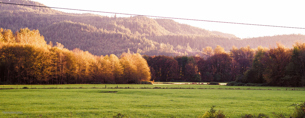
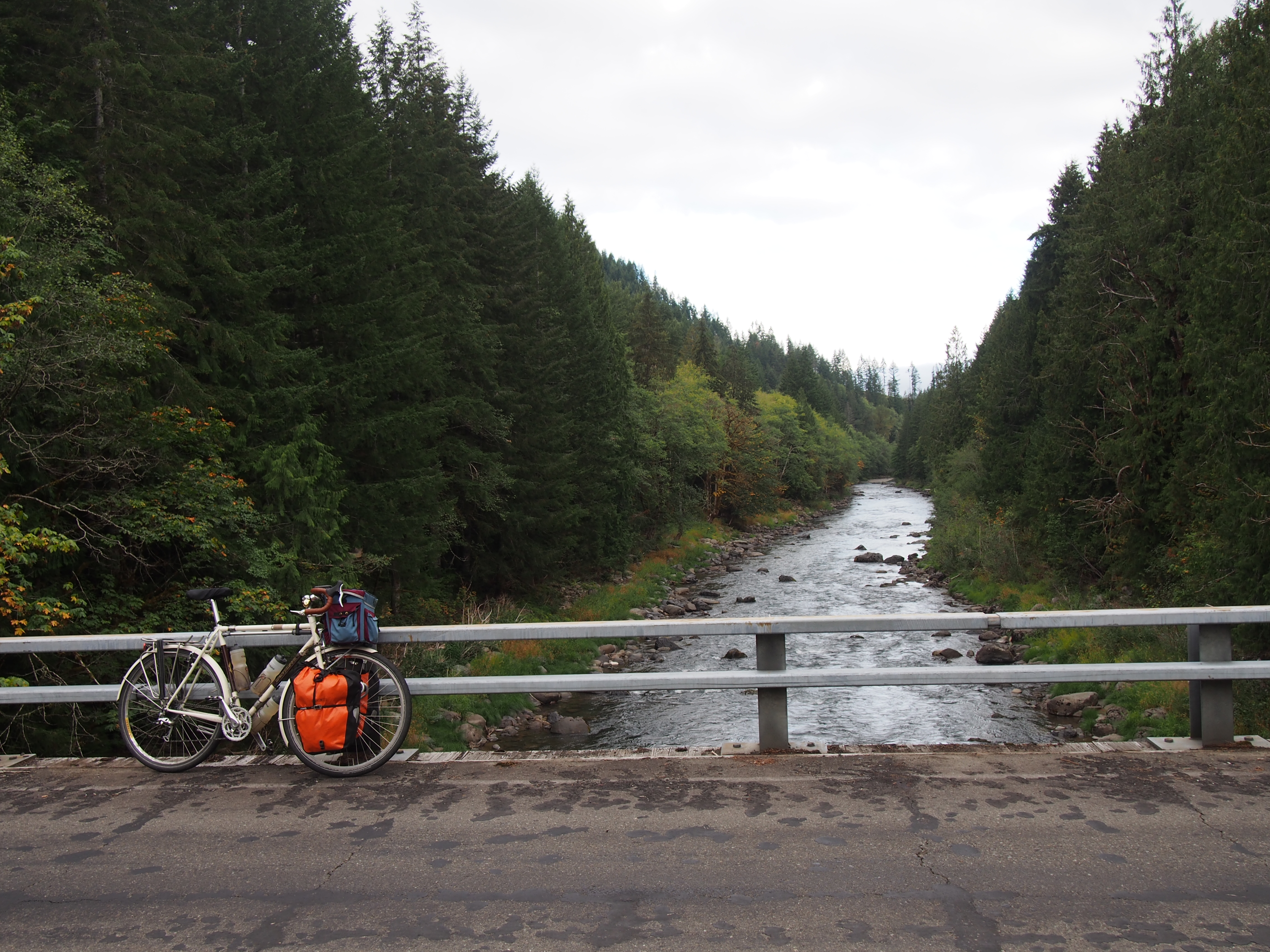
Highway 12 (35)
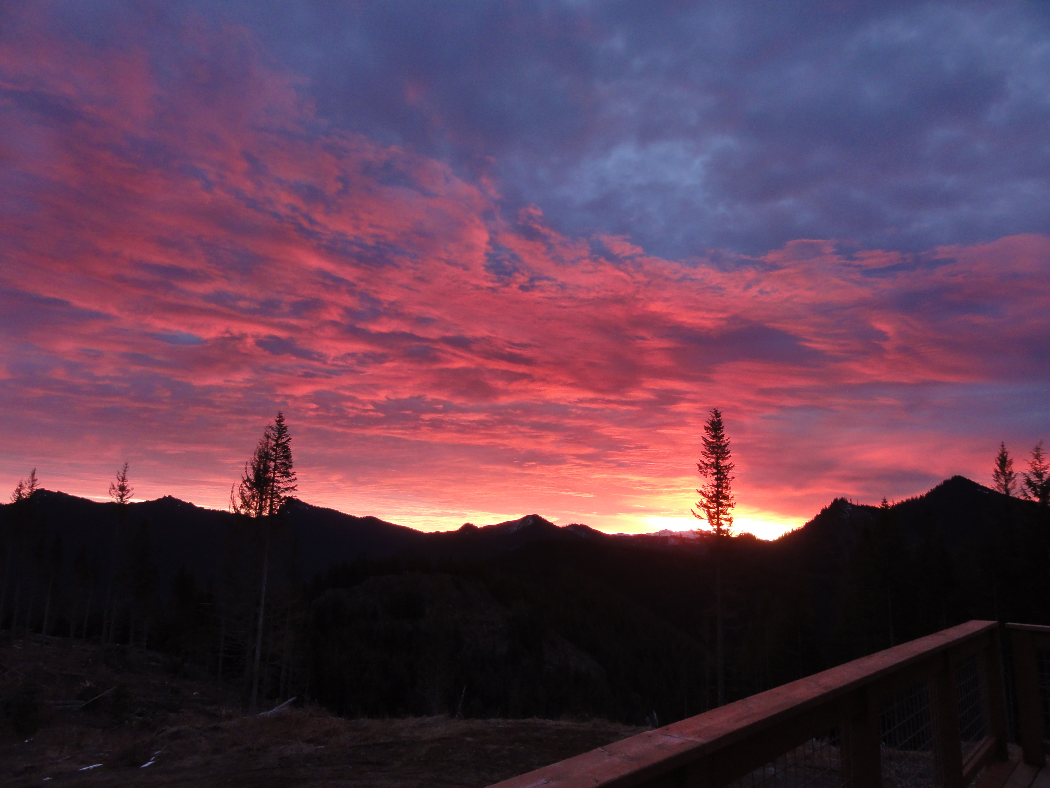
Morning Light

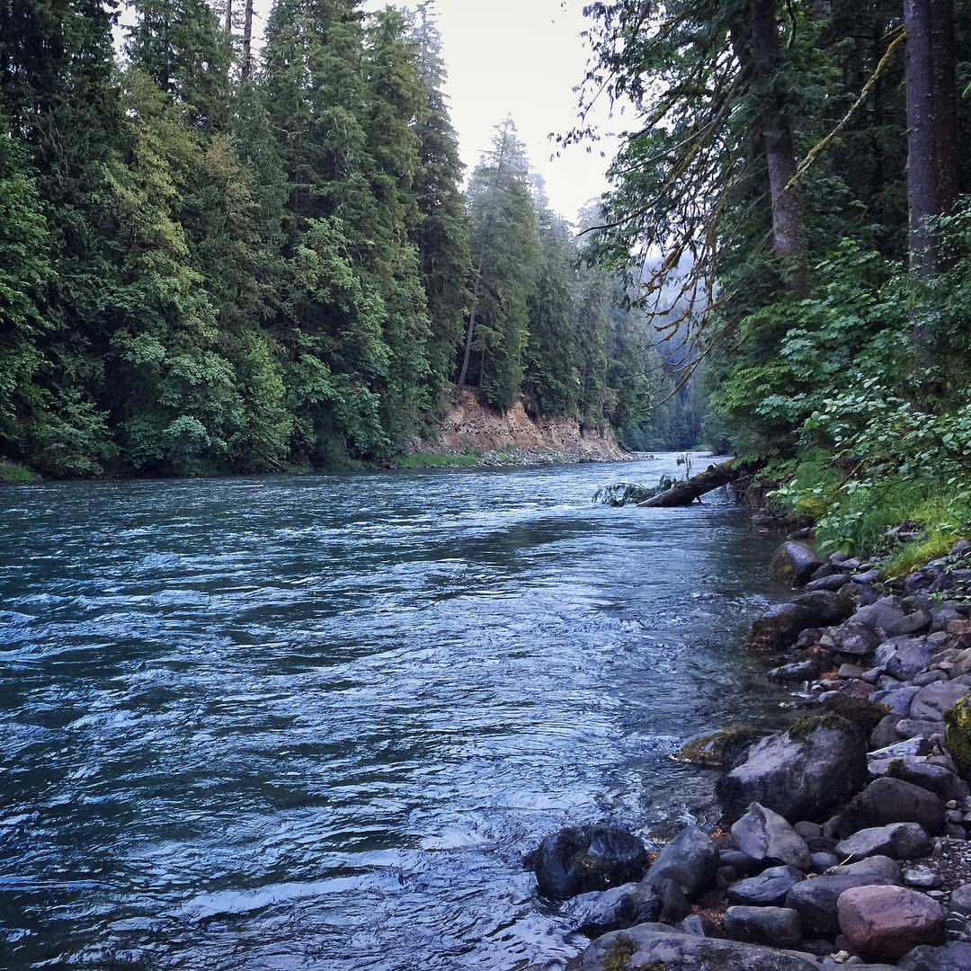
A view upstream of Iron Creek located in the Gifford Pinchot National Forest. #river #giffordpinchotnationalforest #wilderness #pnw

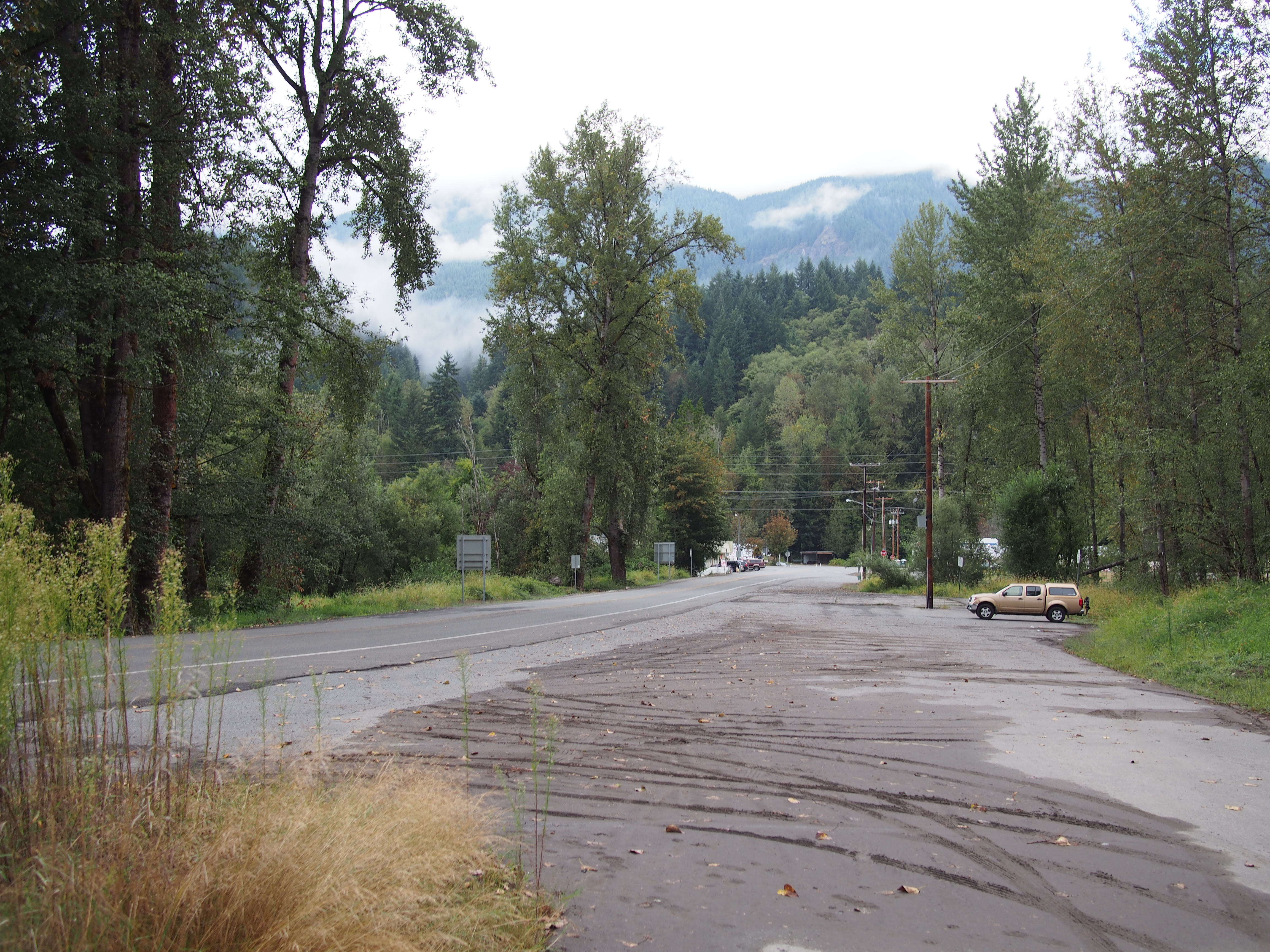
Falls Road Panoramic

Mount Rainier National Park

Mount Rainier National Park

Mount Rainier National Park

Mount Rainier National Park

Mount Rainier National Park

Mount Rainier National Park
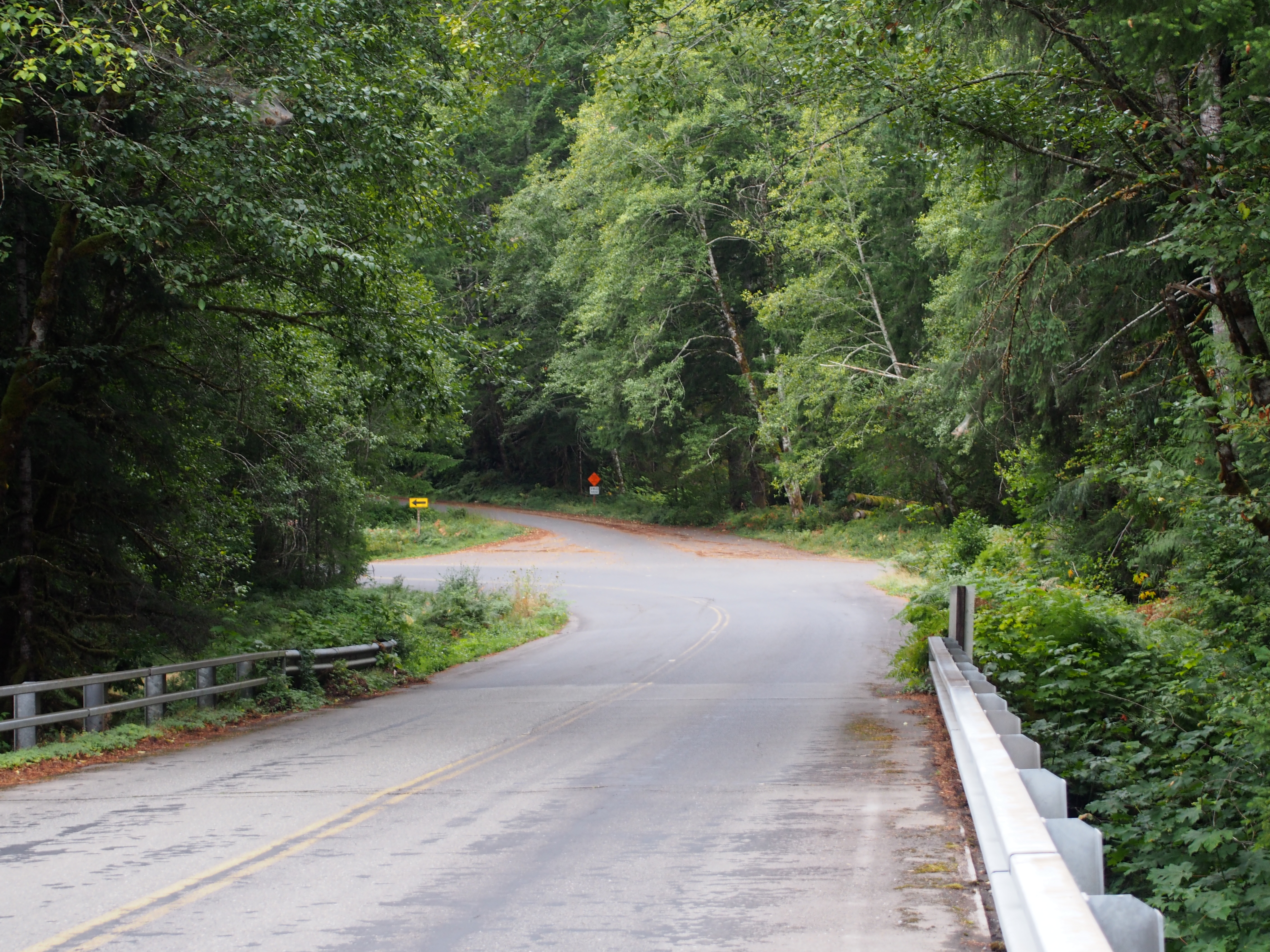
SR-131
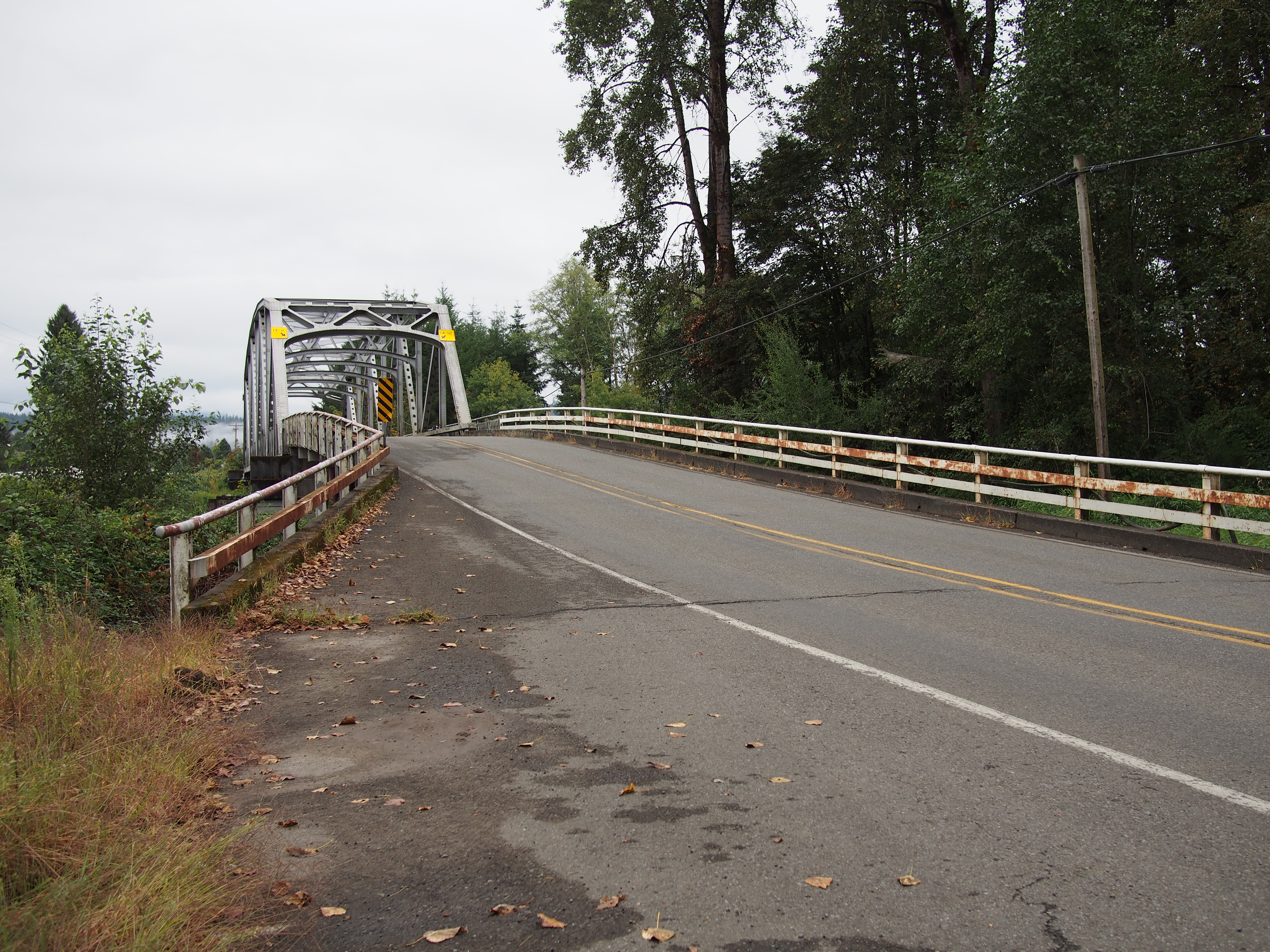
Cowlitz River Bridge
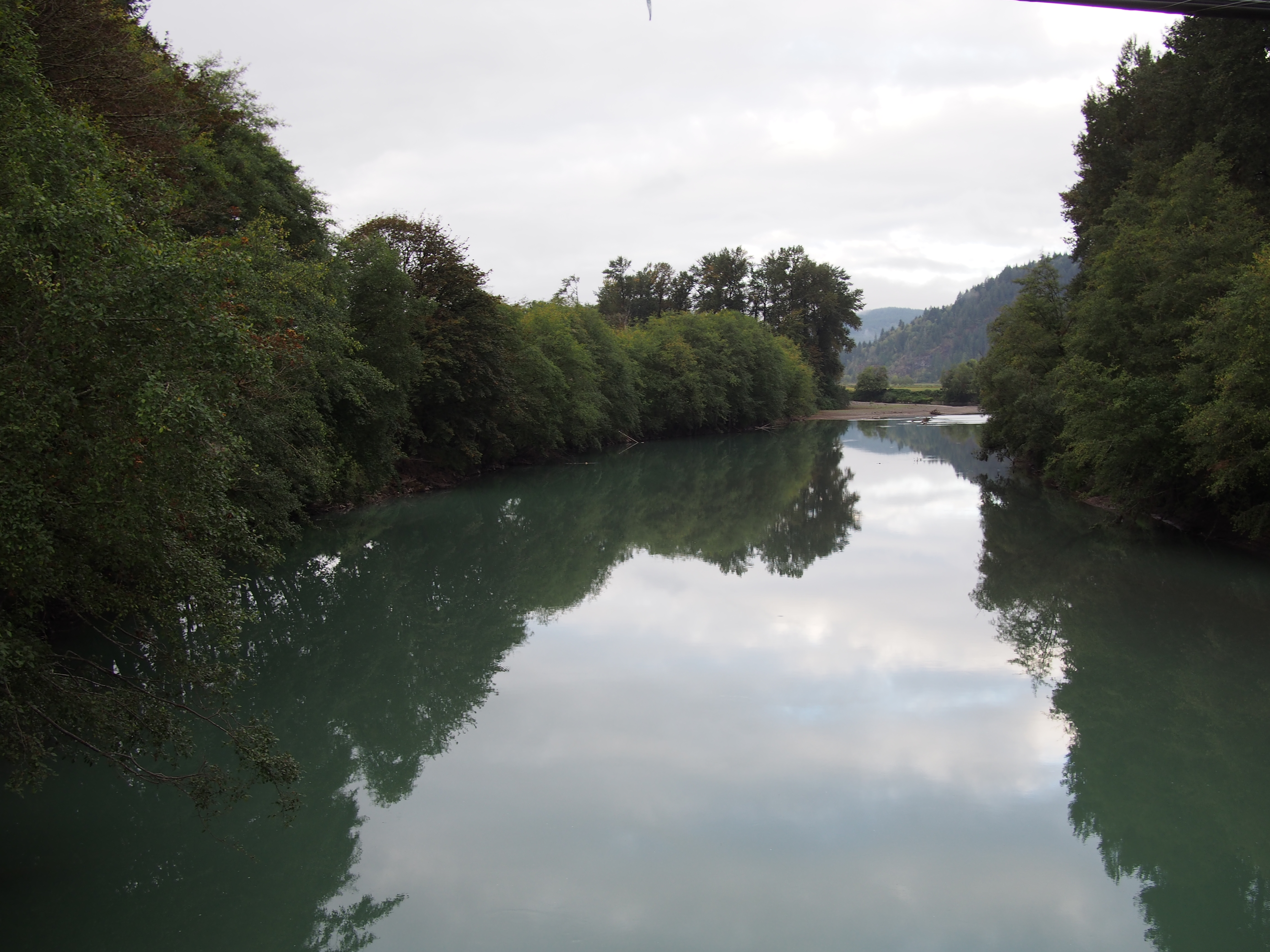
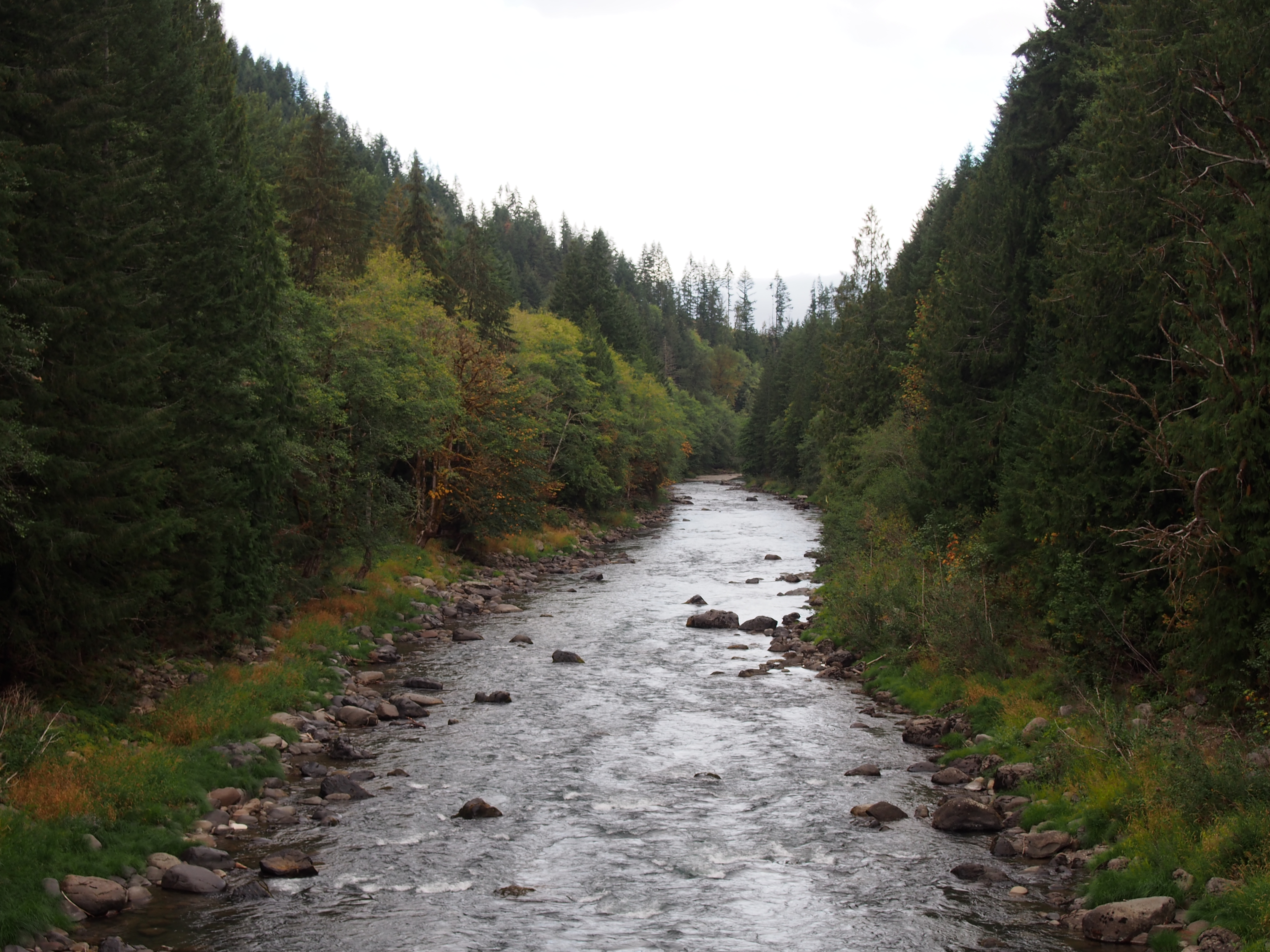
Cowlitz River
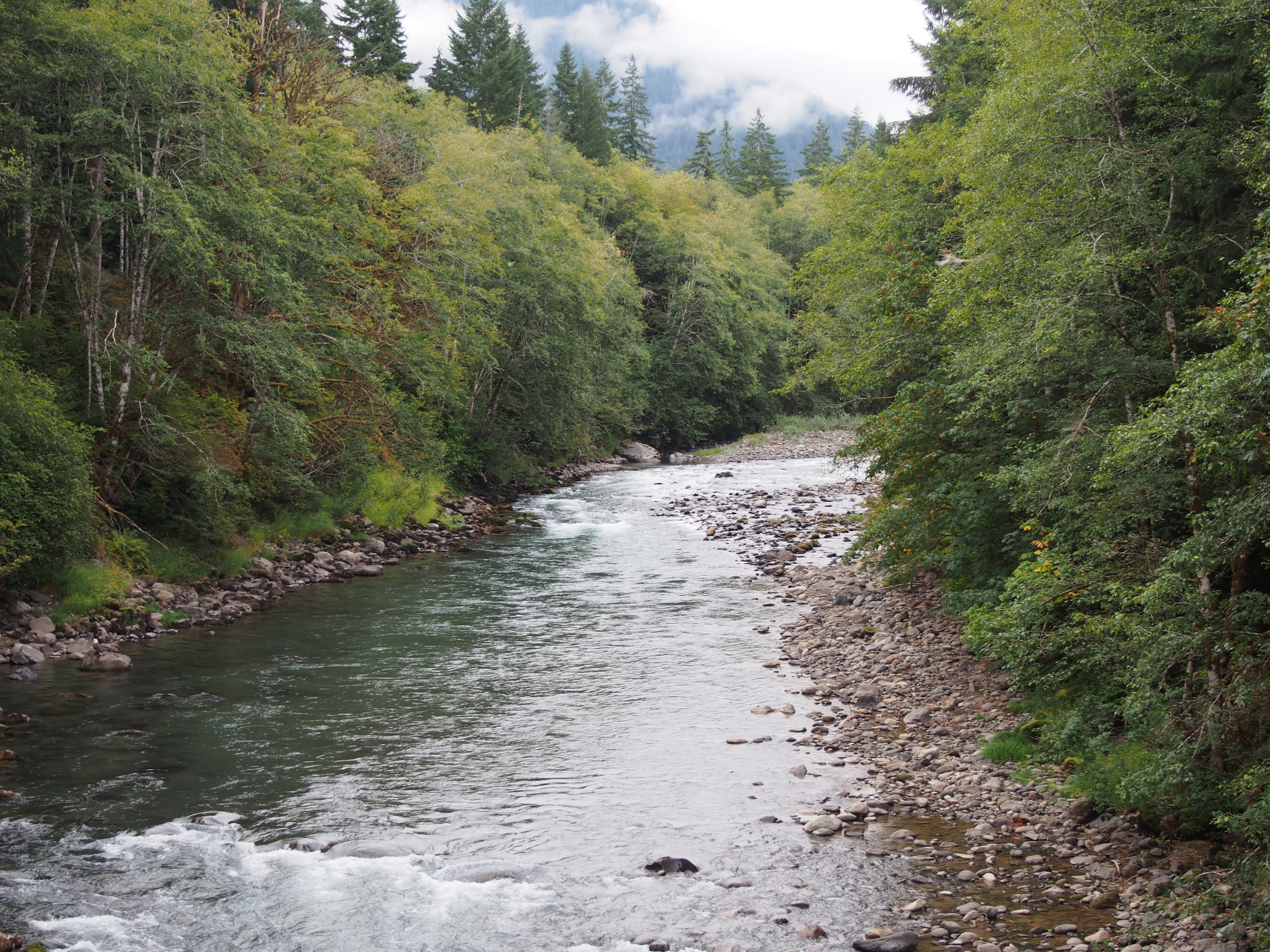
Cispus River
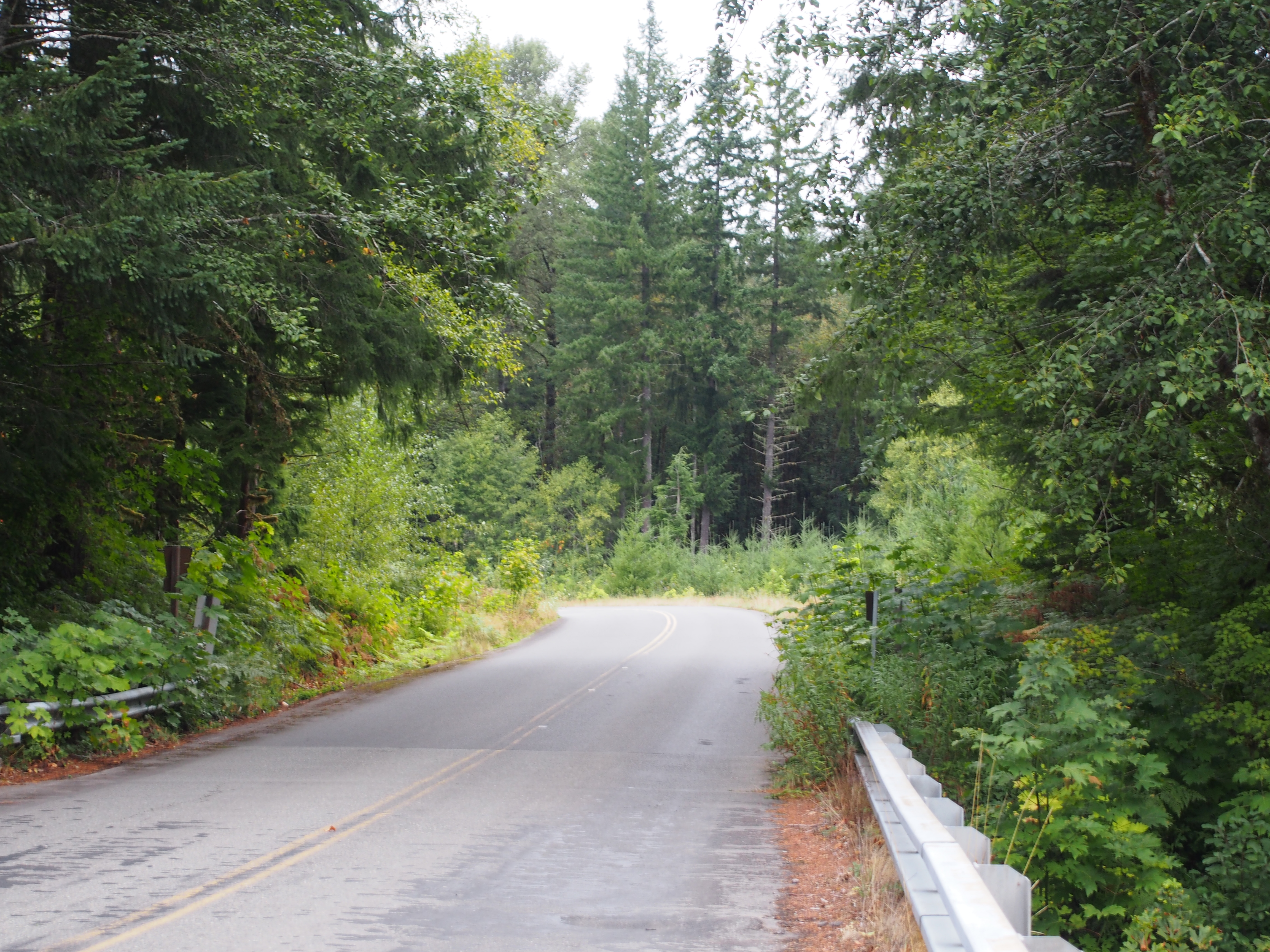
NF Development Road 25
Ivory Pass over Cispus River
Cispus River
NF Development Road 25
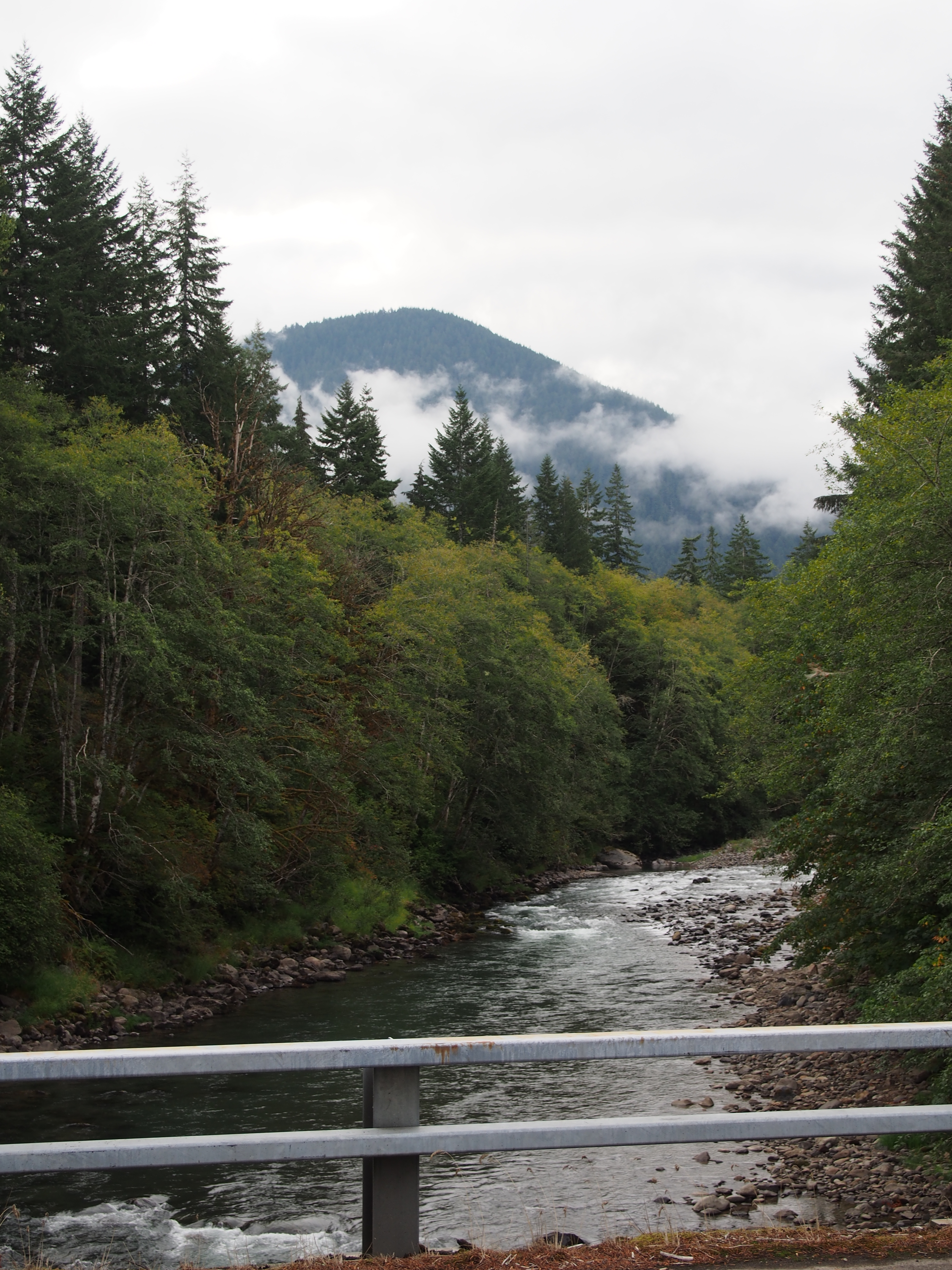
Mountain Over Cispus River

Iron Creek Campground
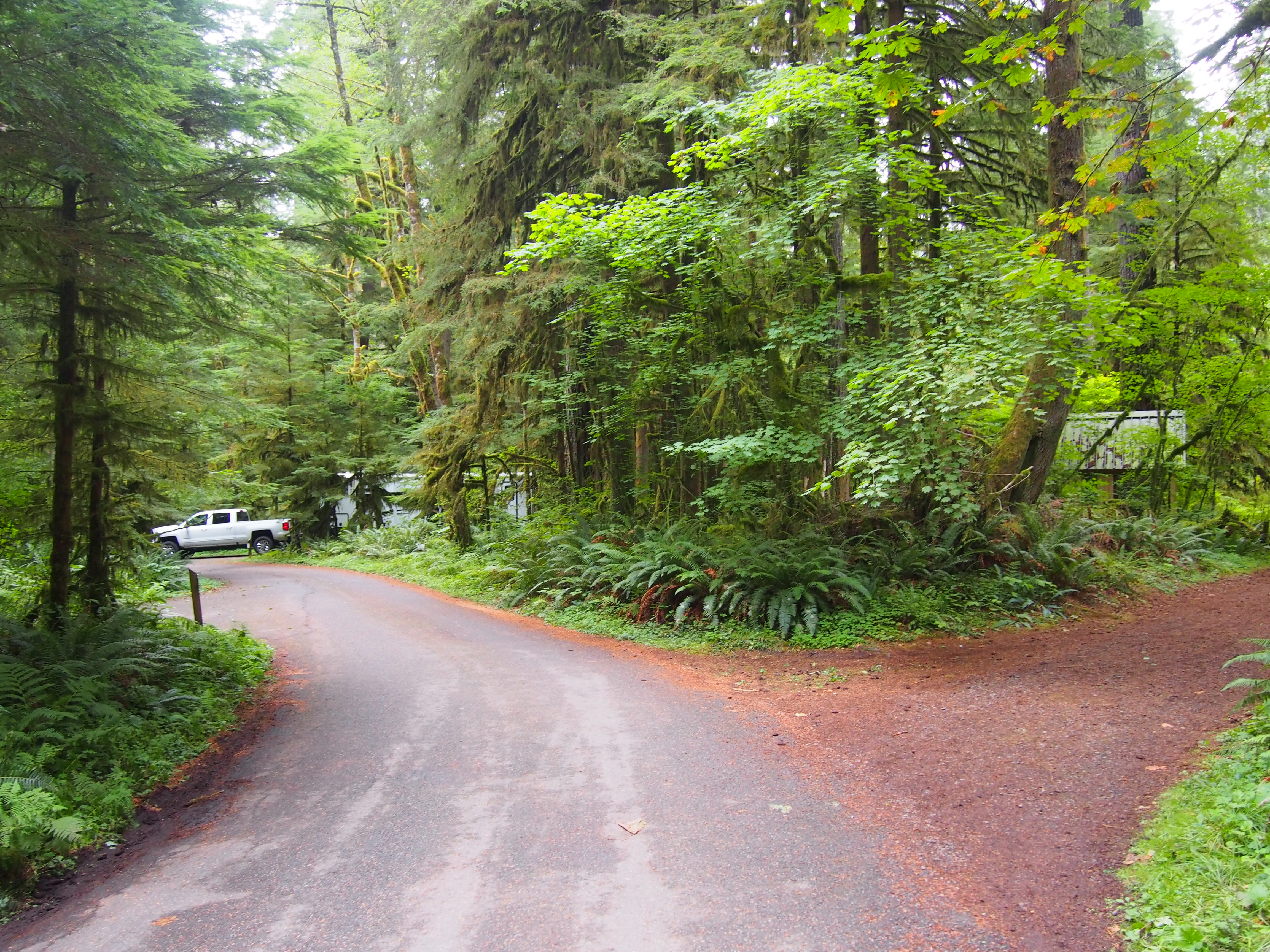
Iron Creek Campground
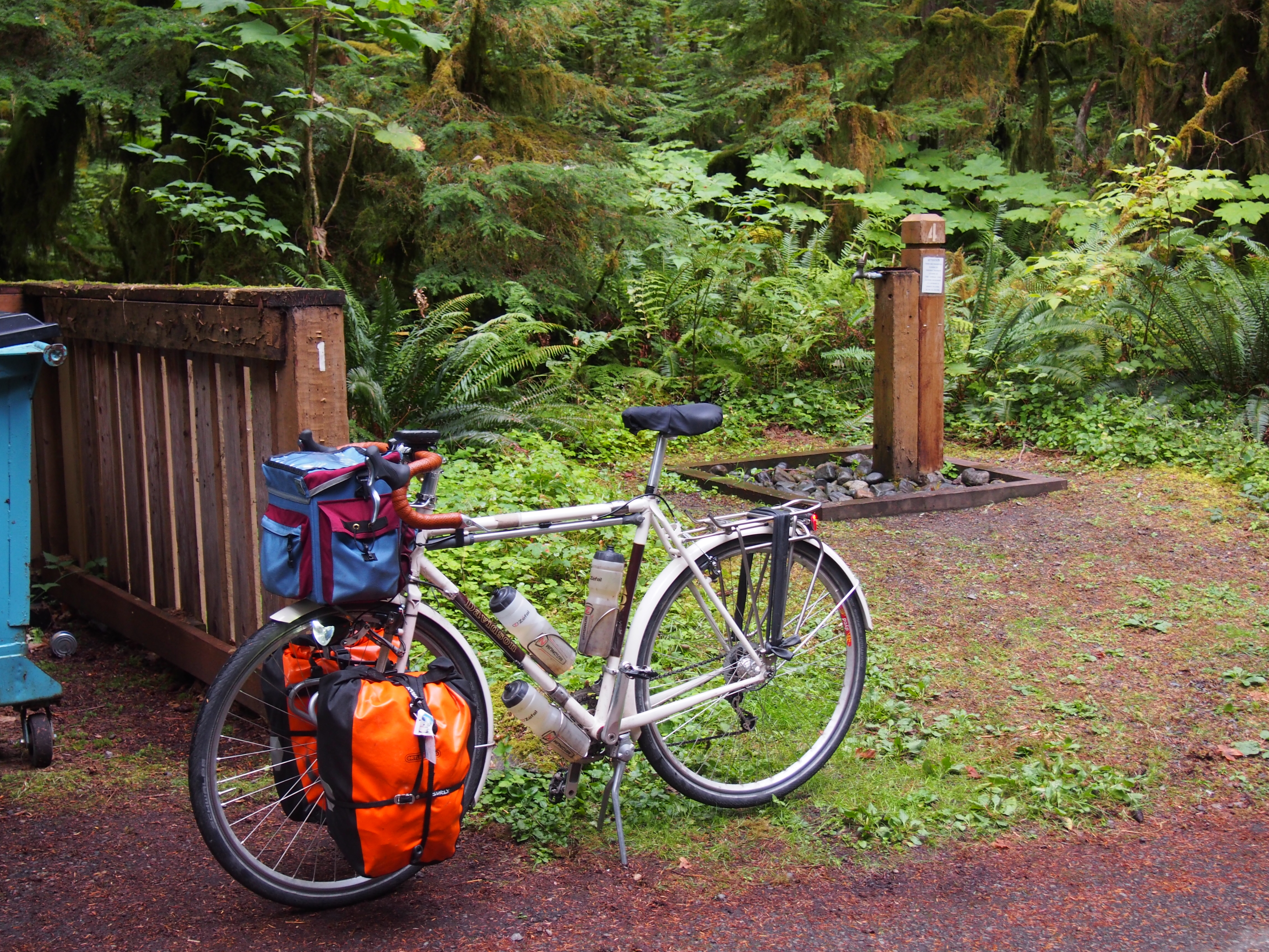
Ivory Pass at Iron Creek Campground
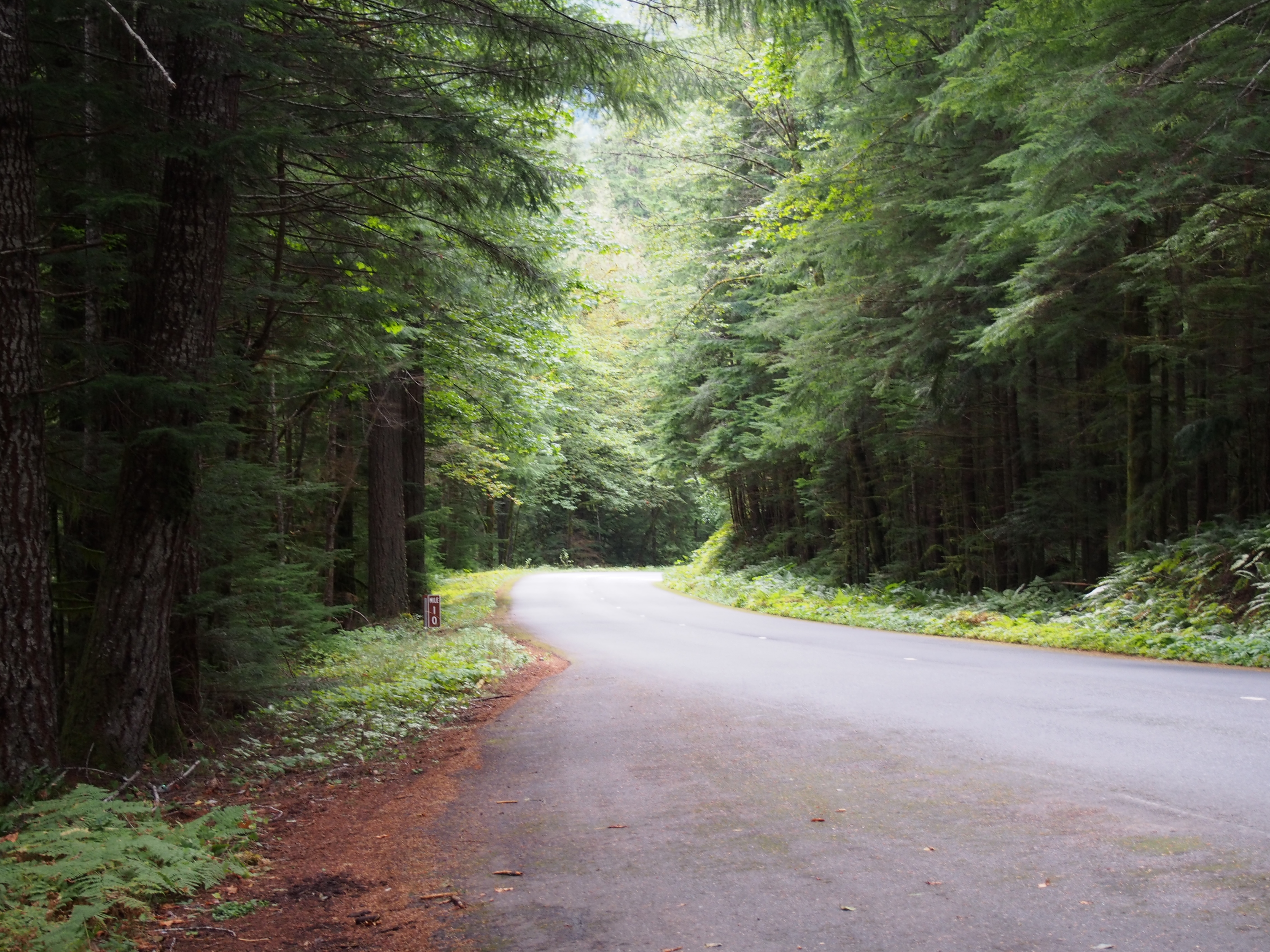
NF Development Road 25
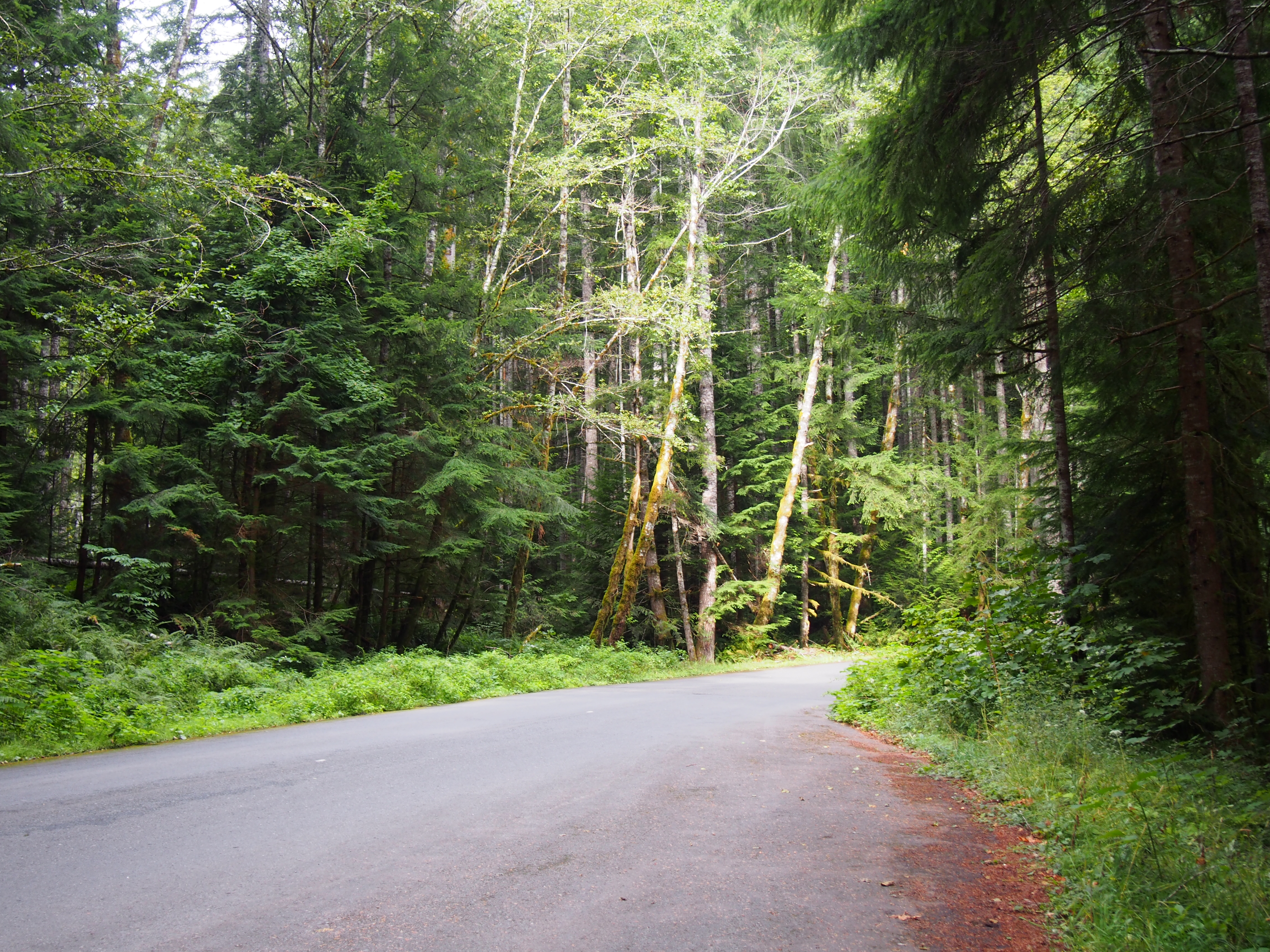
NF Development Road 25
Gifford Pinchot National Forest
US-12, Naches, WA, USA Karte
Suchen Sie einen anderen Ort
Nahe Plätze
US-12, Randle, WA, USA
Savio Rd, Randle, WA, USA
Cropsey Dr, Randle, WA, USA
Cropsey Dr, Randle, WA, USA
Cropsey Dr, Randle, WA, USA
Coleman Hill Rd, Randle, WA, USA
Silverbrook Rd, Randle, WA, USA
Randle, WA, USA
WA-, Randle, WA, USA
Boyd Road, Boyd Rd, Mossyrock, WA, USA
WA-, Randle, WA, USA
Skinner Rd, Randle, WA, USA
Skinner Rd, Randle, WA, USA
Dorlynes Ln, Glenoma, WA, USA
US-12, Glenoma, WA, USA
US-12, Randle, WA, USA
US-12, Naches, WA, USA
Glenoma, WA, USA
Silverbrook Rd, Randle, WA, USA
Silverbrook Rd, Randle, WA, USA
Letzte Suche
- Red Dog Mine, AK, USA Sonnenaufgang Sonnenuntergang Zeiten
- Am Bahnhof, Am bhf, Borken, Germany Sonnenaufgang Sonnenuntergang Zeiten
- 4th St E, Sonoma, CA, USA Sonnenaufgang Sonnenuntergang Zeiten
- Oakland Ave, Williamsport, PA, USA Sonnenaufgang Sonnenuntergang Zeiten
- Via Roma, Pieranica CR, Italien Sonnenaufgang Sonnenuntergang Zeiten
- Glockenturm, Grad, Dubrovnik, Kroatien Sonnenaufgang Sonnenuntergang Zeiten
- Trelew, Chubut Province, Argentina Sonnenaufgang Sonnenuntergang Zeiten
- Hartfords Bluff Cir, Mt Pleasant, SC, USA Sonnenaufgang Sonnenuntergang Zeiten
- Kita-ku, Kumamoto, Präfektur Kumamoto, Japan Sonnenaufgang Sonnenuntergang Zeiten
- Pingtan Island, Pingtan County, Fuzhou, China Sonnenaufgang Sonnenuntergang Zeiten