Upper Delaware Rd, Henderson, KY, USA Sonnenaufgang Sonnenuntergang Zeiten
Location: USA > Kentucky > Henderson County > Henderson >
Zeitzone:
America/Chicago
Ortszeit:
2025-07-08 06:02:17
Länge:
-87.4385834
Breite:
37.7118973
Sonnenaufgang Heute:
05:35:54 AM
Sonnenuntergang Heute:
08:14:02 PM
Tageslänge heute:
14h 38m 8s
Sonnenaufgang morgen:
05:36:31 AM
Sonnenuntergang Morgen:
08:13:42 PM
Tageslänge von morgen:
14h 37m 11s
Alle Termine anzeigen
| Datum | Sonnenaufgang | Sonnenuntergang | Tageslänge |
|---|---|---|---|
| 2025-01-01 | 07:05:04 AM | 04:42:43 PM | 9h 37m 39s |
| 2025-01-02 | 07:05:09 AM | 04:43:33 PM | 9h 38m 24s |
| 2025-01-03 | 07:05:13 AM | 04:44:24 PM | 9h 39m 11s |
| 2025-01-04 | 07:05:14 AM | 04:45:17 PM | 9h 40m 3s |
| 2025-01-05 | 07:05:13 AM | 04:46:10 PM | 9h 40m 57s |
| 2025-01-06 | 07:05:10 AM | 04:47:05 PM | 9h 41m 55s |
| 2025-01-07 | 07:05:05 AM | 04:48:00 PM | 9h 42m 55s |
| 2025-01-08 | 07:04:58 AM | 04:48:57 PM | 9h 43m 59s |
| 2025-01-09 | 07:04:49 AM | 04:49:55 PM | 9h 45m 6s |
| 2025-01-10 | 07:04:38 AM | 04:50:53 PM | 9h 46m 15s |
| 2025-01-11 | 07:04:25 AM | 04:51:53 PM | 9h 47m 28s |
| 2025-01-12 | 07:04:10 AM | 04:52:53 PM | 9h 48m 43s |
| 2025-01-13 | 07:03:52 AM | 04:53:54 PM | 9h 50m 2s |
| 2025-01-14 | 07:03:33 AM | 04:54:56 PM | 9h 51m 23s |
| 2025-01-15 | 07:03:12 AM | 04:55:58 PM | 9h 52m 46s |
| 2025-01-16 | 07:02:48 AM | 04:57:01 PM | 9h 54m 13s |
| 2025-01-17 | 07:02:23 AM | 04:58:04 PM | 9h 55m 41s |
| 2025-01-18 | 07:01:56 AM | 04:59:08 PM | 9h 57m 12s |
| 2025-01-19 | 07:01:26 AM | 05:00:13 PM | 9h 58m 47s |
| 2025-01-20 | 07:00:55 AM | 05:01:18 PM | 10h 0m 23s |
| 2025-01-21 | 07:00:22 AM | 05:02:23 PM | 10h 2m 1s |
| 2025-01-22 | 06:59:47 AM | 05:03:29 PM | 10h 3m 42s |
| 2025-01-23 | 06:59:10 AM | 05:04:35 PM | 10h 5m 25s |
| 2025-01-24 | 06:58:32 AM | 05:05:41 PM | 10h 7m 9s |
| 2025-01-25 | 06:57:51 AM | 05:06:47 PM | 10h 8m 56s |
| 2025-01-26 | 06:57:09 AM | 05:07:54 PM | 10h 10m 45s |
| 2025-01-27 | 06:56:25 AM | 05:09:00 PM | 10h 12m 35s |
| 2025-01-28 | 06:55:39 AM | 05:10:07 PM | 10h 14m 28s |
| 2025-01-29 | 06:54:52 AM | 05:11:14 PM | 10h 16m 22s |
| 2025-01-30 | 06:54:03 AM | 05:12:21 PM | 10h 18m 18s |
| 2025-01-31 | 06:53:12 AM | 05:13:28 PM | 10h 20m 16s |
| 2025-02-01 | 06:52:20 AM | 05:14:35 PM | 10h 22m 15s |
| 2025-02-02 | 06:51:26 AM | 05:15:41 PM | 10h 24m 15s |
| 2025-02-03 | 06:50:31 AM | 05:16:48 PM | 10h 26m 17s |
| 2025-02-04 | 06:49:34 AM | 05:17:55 PM | 10h 28m 21s |
| 2025-02-05 | 06:48:35 AM | 05:19:01 PM | 10h 30m 26s |
| 2025-02-06 | 06:47:35 AM | 05:20:08 PM | 10h 32m 33s |
| 2025-02-07 | 06:46:34 AM | 05:21:14 PM | 10h 34m 40s |
| 2025-02-08 | 06:45:31 AM | 05:22:20 PM | 10h 36m 49s |
| 2025-02-09 | 06:44:27 AM | 05:23:26 PM | 10h 38m 59s |
| 2025-02-10 | 06:43:22 AM | 05:24:31 PM | 10h 41m 9s |
| 2025-02-11 | 06:42:15 AM | 05:25:36 PM | 10h 43m 21s |
| 2025-02-12 | 06:41:07 AM | 05:26:41 PM | 10h 45m 34s |
| 2025-02-13 | 06:39:58 AM | 05:27:46 PM | 10h 47m 48s |
| 2025-02-14 | 06:38:48 AM | 05:28:51 PM | 10h 50m 3s |
| 2025-02-15 | 06:37:37 AM | 05:29:55 PM | 10h 52m 18s |
| 2025-02-16 | 06:36:24 AM | 05:30:59 PM | 10h 54m 35s |
| 2025-02-17 | 06:35:10 AM | 05:32:03 PM | 10h 56m 53s |
| 2025-02-18 | 06:33:56 AM | 05:33:06 PM | 10h 59m 10s |
| 2025-02-19 | 06:32:40 AM | 05:34:09 PM | 11h 1m 29s |
| 2025-02-20 | 06:31:23 AM | 05:35:12 PM | 11h 3m 49s |
| 2025-02-21 | 06:30:06 AM | 05:36:14 PM | 11h 6m 8s |
| 2025-02-22 | 06:28:47 AM | 05:37:16 PM | 11h 8m 29s |
| 2025-02-23 | 06:27:28 AM | 05:38:18 PM | 11h 10m 50s |
| 2025-02-24 | 06:26:08 AM | 05:39:20 PM | 11h 13m 12s |
| 2025-02-25 | 06:24:46 AM | 05:40:21 PM | 11h 15m 35s |
| 2025-02-26 | 06:23:25 AM | 05:41:22 PM | 11h 17m 57s |
| 2025-02-27 | 06:22:02 AM | 05:42:22 PM | 11h 20m 20s |
| 2025-02-28 | 06:20:39 AM | 05:43:22 PM | 11h 22m 43s |
| 2025-03-01 | 06:19:14 AM | 05:44:22 PM | 11h 25m 8s |
| 2025-03-02 | 06:17:50 AM | 05:45:22 PM | 11h 27m 32s |
| 2025-03-03 | 06:16:24 AM | 05:46:21 PM | 11h 29m 57s |
| 2025-03-04 | 06:14:59 AM | 05:47:20 PM | 11h 32m 21s |
| 2025-03-05 | 06:13:32 AM | 05:48:19 PM | 11h 34m 47s |
| 2025-03-06 | 06:12:05 AM | 05:49:17 PM | 11h 37m 12s |
| 2025-03-07 | 06:10:38 AM | 05:50:15 PM | 11h 39m 37s |
| 2025-03-08 | 06:09:10 AM | 05:51:13 PM | 11h 42m 3s |
| 2025-03-09 | 07:07:45 AM | 06:52:09 PM | 11h 44m 24s |
| 2025-03-10 | 07:06:16 AM | 06:53:06 PM | 11h 46m 50s |
| 2025-03-11 | 07:04:47 AM | 06:54:03 PM | 11h 49m 16s |
| 2025-03-12 | 07:03:18 AM | 06:55:00 PM | 11h 51m 42s |
| 2025-03-13 | 07:01:48 AM | 06:55:57 PM | 11h 54m 9s |
| 2025-03-14 | 07:00:18 AM | 06:56:53 PM | 11h 56m 35s |
| 2025-03-15 | 06:58:47 AM | 06:57:50 PM | 11h 59m 3s |
| 2025-03-16 | 06:57:17 AM | 06:58:46 PM | 12h 1m 29s |
| 2025-03-17 | 06:55:46 AM | 06:59:42 PM | 12h 3m 56s |
| 2025-03-18 | 06:54:15 AM | 07:00:38 PM | 12h 6m 23s |
| 2025-03-19 | 06:52:44 AM | 07:01:33 PM | 12h 8m 49s |
| 2025-03-20 | 06:51:13 AM | 07:02:29 PM | 12h 11m 16s |
| 2025-03-21 | 06:49:42 AM | 07:03:24 PM | 12h 13m 42s |
| 2025-03-22 | 06:48:11 AM | 07:04:19 PM | 12h 16m 8s |
| 2025-03-23 | 06:46:39 AM | 07:05:15 PM | 12h 18m 36s |
| 2025-03-24 | 06:45:08 AM | 07:06:10 PM | 12h 21m 2s |
| 2025-03-25 | 06:43:37 AM | 07:07:05 PM | 12h 23m 28s |
| 2025-03-26 | 06:42:06 AM | 07:07:59 PM | 12h 25m 53s |
| 2025-03-27 | 06:40:35 AM | 07:08:54 PM | 12h 28m 19s |
| 2025-03-28 | 06:39:04 AM | 07:09:49 PM | 12h 30m 45s |
| 2025-03-29 | 06:37:33 AM | 07:10:44 PM | 12h 33m 11s |
| 2025-03-30 | 06:36:03 AM | 07:11:38 PM | 12h 35m 35s |
| 2025-03-31 | 06:34:33 AM | 07:12:33 PM | 12h 38m 0s |
| 2025-04-01 | 06:33:03 AM | 07:13:28 PM | 12h 40m 25s |
| 2025-04-02 | 06:31:33 AM | 07:14:22 PM | 12h 42m 49s |
| 2025-04-03 | 06:30:04 AM | 07:15:17 PM | 12h 45m 13s |
| 2025-04-04 | 06:28:35 AM | 07:16:11 PM | 12h 47m 36s |
| 2025-04-05 | 06:27:06 AM | 07:17:06 PM | 12h 50m 0s |
| 2025-04-06 | 06:25:38 AM | 07:18:00 PM | 12h 52m 22s |
| 2025-04-07 | 06:24:10 AM | 07:18:55 PM | 12h 54m 45s |
| 2025-04-08 | 06:22:43 AM | 07:19:50 PM | 12h 57m 7s |
| 2025-04-09 | 06:21:16 AM | 07:20:44 PM | 12h 59m 28s |
| 2025-04-10 | 06:19:49 AM | 07:21:39 PM | 13h 1m 50s |
| 2025-04-11 | 06:18:24 AM | 07:22:34 PM | 13h 4m 10s |
| 2025-04-12 | 06:16:59 AM | 07:23:28 PM | 13h 6m 29s |
| 2025-04-13 | 06:15:34 AM | 07:24:23 PM | 13h 8m 49s |
| 2025-04-14 | 06:14:10 AM | 07:25:18 PM | 13h 11m 8s |
| 2025-04-15 | 06:12:47 AM | 07:26:13 PM | 13h 13m 26s |
| 2025-04-16 | 06:11:24 AM | 07:27:08 PM | 13h 15m 44s |
| 2025-04-17 | 06:10:03 AM | 07:28:03 PM | 13h 18m 0s |
| 2025-04-18 | 06:08:42 AM | 07:28:58 PM | 13h 20m 16s |
| 2025-04-19 | 06:07:21 AM | 07:29:53 PM | 13h 22m 32s |
| 2025-04-20 | 06:06:02 AM | 07:30:48 PM | 13h 24m 46s |
| 2025-04-21 | 06:04:44 AM | 07:31:43 PM | 13h 26m 59s |
| 2025-04-22 | 06:03:26 AM | 07:32:38 PM | 13h 29m 12s |
| 2025-04-23 | 06:02:09 AM | 07:33:33 PM | 13h 31m 24s |
| 2025-04-24 | 06:00:53 AM | 07:34:28 PM | 13h 33m 35s |
| 2025-04-25 | 05:59:39 AM | 07:35:24 PM | 13h 35m 45s |
| 2025-04-26 | 05:58:25 AM | 07:36:19 PM | 13h 37m 54s |
| 2025-04-27 | 05:57:12 AM | 07:37:14 PM | 13h 40m 2s |
| 2025-04-28 | 05:56:00 AM | 07:38:09 PM | 13h 42m 9s |
| 2025-04-29 | 05:54:50 AM | 07:39:04 PM | 13h 44m 14s |
| 2025-04-30 | 05:53:40 AM | 07:39:59 PM | 13h 46m 19s |
| 2025-05-01 | 05:52:32 AM | 07:40:54 PM | 13h 48m 22s |
| 2025-05-02 | 05:51:25 AM | 07:41:49 PM | 13h 50m 24s |
| 2025-05-03 | 05:50:19 AM | 07:42:43 PM | 13h 52m 24s |
| 2025-05-04 | 05:49:14 AM | 07:43:38 PM | 13h 54m 24s |
| 2025-05-05 | 05:48:11 AM | 07:44:32 PM | 13h 56m 21s |
| 2025-05-06 | 05:47:09 AM | 07:45:26 PM | 13h 58m 17s |
| 2025-05-07 | 05:46:08 AM | 07:46:21 PM | 14h 0m 13s |
| 2025-05-08 | 05:45:09 AM | 07:47:14 PM | 14h 2m 5s |
| 2025-05-09 | 05:44:11 AM | 07:48:08 PM | 14h 3m 57s |
| 2025-05-10 | 05:43:14 AM | 07:49:01 PM | 14h 5m 47s |
| 2025-05-11 | 05:42:19 AM | 07:49:54 PM | 14h 7m 35s |
| 2025-05-12 | 05:41:25 AM | 07:50:47 PM | 14h 9m 22s |
| 2025-05-13 | 05:40:33 AM | 07:51:40 PM | 14h 11m 7s |
| 2025-05-14 | 05:39:42 AM | 07:52:32 PM | 14h 12m 50s |
| 2025-05-15 | 05:38:53 AM | 07:53:23 PM | 14h 14m 30s |
| 2025-05-16 | 05:38:05 AM | 07:54:15 PM | 14h 16m 10s |
| 2025-05-17 | 05:37:19 AM | 07:55:05 PM | 14h 17m 46s |
| 2025-05-18 | 05:36:35 AM | 07:55:56 PM | 14h 19m 21s |
| 2025-05-19 | 05:35:52 AM | 07:56:45 PM | 14h 20m 53s |
| 2025-05-20 | 05:35:10 AM | 07:57:34 PM | 14h 22m 24s |
| 2025-05-21 | 05:34:31 AM | 07:58:23 PM | 14h 23m 52s |
| 2025-05-22 | 05:33:53 AM | 07:59:11 PM | 14h 25m 18s |
| 2025-05-23 | 05:33:17 AM | 07:59:58 PM | 14h 26m 41s |
| 2025-05-24 | 05:32:42 AM | 08:00:45 PM | 14h 28m 3s |
| 2025-05-25 | 05:32:09 AM | 08:01:30 PM | 14h 29m 21s |
| 2025-05-26 | 05:31:38 AM | 08:02:15 PM | 14h 30m 37s |
| 2025-05-27 | 05:31:09 AM | 08:03:00 PM | 14h 31m 51s |
| 2025-05-28 | 05:30:41 AM | 08:03:43 PM | 14h 33m 2s |
| 2025-05-29 | 05:30:16 AM | 08:04:25 PM | 14h 34m 9s |
| 2025-05-30 | 05:29:52 AM | 08:05:07 PM | 14h 35m 15s |
| 2025-05-31 | 05:29:29 AM | 08:05:47 PM | 14h 36m 18s |
| 2025-06-01 | 05:29:09 AM | 08:06:27 PM | 14h 37m 18s |
| 2025-06-02 | 05:28:50 AM | 08:07:05 PM | 14h 38m 15s |
| 2025-06-03 | 05:28:34 AM | 08:07:43 PM | 14h 39m 9s |
| 2025-06-04 | 05:28:19 AM | 08:08:19 PM | 14h 40m 0s |
| 2025-06-05 | 05:28:05 AM | 08:08:54 PM | 14h 40m 49s |
| 2025-06-06 | 05:27:54 AM | 08:09:28 PM | 14h 41m 34s |
| 2025-06-07 | 05:27:44 AM | 08:10:00 PM | 14h 42m 16s |
| 2025-06-08 | 05:27:36 AM | 08:10:32 PM | 14h 42m 56s |
| 2025-06-09 | 05:27:30 AM | 08:11:02 PM | 14h 43m 32s |
| 2025-06-10 | 05:27:26 AM | 08:11:30 PM | 14h 44m 4s |
| 2025-06-11 | 05:27:24 AM | 08:11:57 PM | 14h 44m 33s |
| 2025-06-12 | 05:27:23 AM | 08:12:23 PM | 14h 45m 0s |
| 2025-06-13 | 05:27:24 AM | 08:12:48 PM | 14h 45m 24s |
| 2025-06-14 | 05:27:27 AM | 08:13:11 PM | 14h 45m 44s |
| 2025-06-15 | 05:27:31 AM | 08:13:32 PM | 14h 46m 1s |
| 2025-06-16 | 05:27:38 AM | 08:13:52 PM | 14h 46m 14s |
| 2025-06-17 | 05:27:45 AM | 08:14:10 PM | 14h 46m 25s |
| 2025-06-18 | 05:27:55 AM | 08:14:26 PM | 14h 46m 31s |
| 2025-06-19 | 05:28:06 AM | 08:14:41 PM | 14h 46m 35s |
| 2025-06-20 | 05:28:19 AM | 08:14:55 PM | 14h 46m 36s |
| 2025-06-21 | 05:28:33 AM | 08:15:06 PM | 14h 46m 33s |
| 2025-06-22 | 05:28:49 AM | 08:15:16 PM | 14h 46m 27s |
| 2025-06-23 | 05:29:07 AM | 08:15:25 PM | 14h 46m 18s |
| 2025-06-24 | 05:29:26 AM | 08:15:31 PM | 14h 46m 5s |
| 2025-06-25 | 05:29:47 AM | 08:15:36 PM | 14h 45m 49s |
| 2025-06-26 | 05:30:09 AM | 08:15:39 PM | 14h 45m 30s |
| 2025-06-27 | 05:30:32 AM | 08:15:40 PM | 14h 45m 8s |
| 2025-06-28 | 05:30:57 AM | 08:15:39 PM | 14h 44m 42s |
| 2025-06-29 | 05:31:23 AM | 08:15:37 PM | 14h 44m 14s |
| 2025-06-30 | 05:31:51 AM | 08:15:32 PM | 14h 43m 41s |
| 2025-07-01 | 05:32:19 AM | 08:15:26 PM | 14h 43m 7s |
| 2025-07-02 | 05:32:49 AM | 08:15:18 PM | 14h 42m 29s |
| 2025-07-03 | 05:33:21 AM | 08:15:08 PM | 14h 41m 47s |
| 2025-07-04 | 05:33:53 AM | 08:14:57 PM | 14h 41m 4s |
| 2025-07-05 | 05:34:27 AM | 08:14:43 PM | 14h 40m 16s |
| 2025-07-06 | 05:35:02 AM | 08:14:28 PM | 14h 39m 26s |
| 2025-07-07 | 05:35:37 AM | 08:14:11 PM | 14h 38m 34s |
| 2025-07-08 | 05:36:14 AM | 08:13:52 PM | 14h 37m 38s |
| 2025-07-09 | 05:36:52 AM | 08:13:31 PM | 14h 36m 39s |
| 2025-07-10 | 05:37:31 AM | 08:13:08 PM | 14h 35m 37s |
| 2025-07-11 | 05:38:10 AM | 08:12:44 PM | 14h 34m 34s |
| 2025-07-12 | 05:38:51 AM | 08:12:17 PM | 14h 33m 26s |
| 2025-07-13 | 05:39:32 AM | 08:11:49 PM | 14h 32m 17s |
| 2025-07-14 | 05:40:15 AM | 08:11:19 PM | 14h 31m 4s |
| 2025-07-15 | 05:40:58 AM | 08:10:48 PM | 14h 29m 50s |
| 2025-07-16 | 05:41:41 AM | 08:10:14 PM | 14h 28m 33s |
| 2025-07-17 | 05:42:26 AM | 08:09:39 PM | 14h 27m 13s |
| 2025-07-18 | 05:43:11 AM | 08:09:02 PM | 14h 25m 51s |
| 2025-07-19 | 05:43:56 AM | 08:08:23 PM | 14h 24m 27s |
| 2025-07-20 | 05:44:42 AM | 08:07:43 PM | 14h 23m 1s |
| 2025-07-21 | 05:45:29 AM | 08:07:01 PM | 14h 21m 32s |
| 2025-07-22 | 05:46:16 AM | 08:06:17 PM | 14h 20m 1s |
| 2025-07-23 | 05:47:04 AM | 08:05:32 PM | 14h 18m 28s |
| 2025-07-24 | 05:47:52 AM | 08:04:45 PM | 14h 16m 53s |
| 2025-07-25 | 05:48:41 AM | 08:03:56 PM | 14h 15m 15s |
| 2025-07-26 | 05:49:30 AM | 08:03:06 PM | 14h 13m 36s |
| 2025-07-27 | 05:50:19 AM | 08:02:14 PM | 14h 11m 55s |
| 2025-07-28 | 05:51:08 AM | 08:01:21 PM | 14h 10m 13s |
| 2025-07-29 | 05:51:58 AM | 08:00:26 PM | 14h 8m 28s |
| 2025-07-30 | 05:52:49 AM | 07:59:30 PM | 14h 6m 41s |
| 2025-07-31 | 05:53:39 AM | 07:58:32 PM | 14h 4m 53s |
| 2025-08-01 | 05:54:30 AM | 07:57:33 PM | 14h 3m 3s |
| 2025-08-02 | 05:55:20 AM | 07:56:33 PM | 14h 1m 13s |
| 2025-08-03 | 05:56:11 AM | 07:55:31 PM | 13h 59m 20s |
| 2025-08-04 | 05:57:02 AM | 07:54:28 PM | 13h 57m 26s |
| 2025-08-05 | 05:57:54 AM | 07:53:23 PM | 13h 55m 29s |
| 2025-08-06 | 05:58:45 AM | 07:52:17 PM | 13h 53m 32s |
| 2025-08-07 | 05:59:36 AM | 07:51:10 PM | 13h 51m 34s |
| 2025-08-08 | 06:00:28 AM | 07:50:02 PM | 13h 49m 34s |
| 2025-08-09 | 06:01:19 AM | 07:48:52 PM | 13h 47m 33s |
| 2025-08-10 | 06:02:11 AM | 07:47:42 PM | 13h 45m 31s |
| 2025-08-11 | 06:03:02 AM | 07:46:30 PM | 13h 43m 28s |
| 2025-08-12 | 06:03:54 AM | 07:45:17 PM | 13h 41m 23s |
| 2025-08-13 | 06:04:45 AM | 07:44:03 PM | 13h 39m 18s |
| 2025-08-14 | 06:05:37 AM | 07:42:48 PM | 13h 37m 11s |
| 2025-08-15 | 06:06:28 AM | 07:41:32 PM | 13h 35m 4s |
| 2025-08-16 | 06:07:20 AM | 07:40:15 PM | 13h 32m 55s |
| 2025-08-17 | 06:08:11 AM | 07:38:56 PM | 13h 30m 45s |
| 2025-08-18 | 06:09:03 AM | 07:37:37 PM | 13h 28m 34s |
| 2025-08-19 | 06:09:54 AM | 07:36:17 PM | 13h 26m 23s |
| 2025-08-20 | 06:10:45 AM | 07:34:57 PM | 13h 24m 12s |
| 2025-08-21 | 06:11:36 AM | 07:33:35 PM | 13h 21m 59s |
| 2025-08-22 | 06:12:28 AM | 07:32:12 PM | 13h 19m 44s |
| 2025-08-23 | 06:13:19 AM | 07:30:49 PM | 13h 17m 30s |
| 2025-08-24 | 06:14:10 AM | 07:29:25 PM | 13h 15m 15s |
| 2025-08-25 | 06:15:01 AM | 07:28:00 PM | 13h 12m 59s |
| 2025-08-26 | 06:15:51 AM | 07:26:35 PM | 13h 10m 44s |
| 2025-08-27 | 06:16:42 AM | 07:25:09 PM | 13h 8m 27s |
| 2025-08-28 | 06:17:33 AM | 07:23:42 PM | 13h 6m 9s |
| 2025-08-29 | 06:18:23 AM | 07:22:15 PM | 13h 3m 52s |
| 2025-08-30 | 06:19:14 AM | 07:20:47 PM | 13h 1m 33s |
| 2025-08-31 | 06:20:04 AM | 07:19:18 PM | 12h 59m 14s |
| 2025-09-01 | 06:20:55 AM | 07:17:49 PM | 12h 56m 54s |
| 2025-09-02 | 06:21:45 AM | 07:16:20 PM | 12h 54m 35s |
| 2025-09-03 | 06:22:36 AM | 07:14:50 PM | 12h 52m 14s |
| 2025-09-04 | 06:23:26 AM | 07:13:19 PM | 12h 49m 53s |
| 2025-09-05 | 06:24:16 AM | 07:11:48 PM | 12h 47m 32s |
| 2025-09-06 | 06:25:06 AM | 07:10:17 PM | 12h 45m 11s |
| 2025-09-07 | 06:25:57 AM | 07:08:45 PM | 12h 42m 48s |
| 2025-09-08 | 06:26:47 AM | 07:07:14 PM | 12h 40m 27s |
| 2025-09-09 | 06:27:37 AM | 07:05:41 PM | 12h 38m 4s |
| 2025-09-10 | 06:28:27 AM | 07:04:09 PM | 12h 35m 42s |
| 2025-09-11 | 06:29:18 AM | 07:02:36 PM | 12h 33m 18s |
| 2025-09-12 | 06:30:08 AM | 07:01:03 PM | 12h 30m 55s |
| 2025-09-13 | 06:30:58 AM | 06:59:30 PM | 12h 28m 32s |
| 2025-09-14 | 06:31:49 AM | 06:57:57 PM | 12h 26m 8s |
| 2025-09-15 | 06:32:39 AM | 06:56:24 PM | 12h 23m 45s |
| 2025-09-16 | 06:33:29 AM | 06:54:50 PM | 12h 21m 21s |
| 2025-09-17 | 06:34:20 AM | 06:53:17 PM | 12h 18m 57s |
| 2025-09-18 | 06:35:11 AM | 06:51:44 PM | 12h 16m 33s |
| 2025-09-19 | 06:36:01 AM | 06:50:10 PM | 12h 14m 9s |
| 2025-09-20 | 06:36:52 AM | 06:48:37 PM | 12h 11m 45s |
| 2025-09-21 | 06:37:43 AM | 06:47:03 PM | 12h 9m 20s |
| 2025-09-22 | 06:38:34 AM | 06:45:30 PM | 12h 6m 56s |
| 2025-09-23 | 06:39:26 AM | 06:43:57 PM | 12h 4m 31s |
| 2025-09-24 | 06:40:17 AM | 06:42:24 PM | 12h 2m 7s |
| 2025-09-25 | 06:41:09 AM | 06:40:51 PM | 11h 59m 42s |
| 2025-09-26 | 06:42:01 AM | 06:39:18 PM | 11h 57m 17s |
| 2025-09-27 | 06:42:53 AM | 06:37:46 PM | 11h 54m 53s |
| 2025-09-28 | 06:43:45 AM | 06:36:14 PM | 11h 52m 29s |
| 2025-09-29 | 06:44:37 AM | 06:34:42 PM | 11h 50m 5s |
| 2025-09-30 | 06:45:30 AM | 06:33:10 PM | 11h 47m 40s |
| 2025-10-01 | 06:46:23 AM | 06:31:39 PM | 11h 45m 16s |
| 2025-10-02 | 06:47:16 AM | 06:30:09 PM | 11h 42m 53s |
| 2025-10-03 | 06:48:09 AM | 06:28:38 PM | 11h 40m 29s |
| 2025-10-04 | 06:49:03 AM | 06:27:08 PM | 11h 38m 5s |
| 2025-10-05 | 06:49:57 AM | 06:25:39 PM | 11h 35m 42s |
| 2025-10-06 | 06:50:51 AM | 06:24:10 PM | 11h 33m 19s |
| 2025-10-07 | 06:51:46 AM | 06:22:42 PM | 11h 30m 56s |
| 2025-10-08 | 06:52:40 AM | 06:21:14 PM | 11h 28m 34s |
| 2025-10-09 | 06:53:35 AM | 06:19:47 PM | 11h 26m 12s |
| 2025-10-10 | 06:54:31 AM | 06:18:20 PM | 11h 23m 49s |
| 2025-10-11 | 06:55:27 AM | 06:16:54 PM | 11h 21m 27s |
| 2025-10-12 | 06:56:23 AM | 06:15:29 PM | 11h 19m 6s |
| 2025-10-13 | 06:57:19 AM | 06:14:05 PM | 11h 16m 46s |
| 2025-10-14 | 06:58:16 AM | 06:12:41 PM | 11h 14m 25s |
| 2025-10-15 | 06:59:13 AM | 06:11:18 PM | 11h 12m 5s |
| 2025-10-16 | 07:00:10 AM | 06:09:56 PM | 11h 9m 46s |
| 2025-10-17 | 07:01:08 AM | 06:08:35 PM | 11h 7m 27s |
| 2025-10-18 | 07:02:06 AM | 06:07:14 PM | 11h 5m 8s |
| 2025-10-19 | 07:03:05 AM | 06:05:55 PM | 11h 2m 50s |
| 2025-10-20 | 07:04:04 AM | 06:04:37 PM | 11h 0m 33s |
| 2025-10-21 | 07:05:03 AM | 06:03:19 PM | 10h 58m 16s |
| 2025-10-22 | 07:06:02 AM | 06:02:03 PM | 10h 56m 1s |
| 2025-10-23 | 07:07:02 AM | 06:00:47 PM | 10h 53m 45s |
| 2025-10-24 | 07:08:02 AM | 05:59:33 PM | 10h 51m 31s |
| 2025-10-25 | 07:09:03 AM | 05:58:20 PM | 10h 49m 17s |
| 2025-10-26 | 07:10:04 AM | 05:57:08 PM | 10h 47m 4s |
| 2025-10-27 | 07:11:05 AM | 05:55:57 PM | 10h 44m 52s |
| 2025-10-28 | 07:12:06 AM | 05:54:47 PM | 10h 42m 41s |
| 2025-10-29 | 07:13:08 AM | 05:53:39 PM | 10h 40m 31s |
| 2025-10-30 | 07:14:10 AM | 05:52:32 PM | 10h 38m 22s |
| 2025-10-31 | 07:15:12 AM | 05:51:26 PM | 10h 36m 14s |
| 2025-11-01 | 07:16:15 AM | 05:50:22 PM | 10h 34m 7s |
| 2025-11-02 | 06:17:20 AM | 04:49:16 PM | 10h 31m 56s |
| 2025-11-03 | 06:18:23 AM | 04:48:15 PM | 10h 29m 52s |
| 2025-11-04 | 06:19:26 AM | 04:47:15 PM | 10h 27m 49s |
| 2025-11-05 | 06:20:30 AM | 04:46:16 PM | 10h 25m 46s |
| 2025-11-06 | 06:21:33 AM | 04:45:19 PM | 10h 23m 46s |
| 2025-11-07 | 06:22:37 AM | 04:44:24 PM | 10h 21m 47s |
| 2025-11-08 | 06:23:40 AM | 04:43:30 PM | 10h 19m 50s |
| 2025-11-09 | 06:24:44 AM | 04:42:38 PM | 10h 17m 54s |
| 2025-11-10 | 06:25:48 AM | 04:41:47 PM | 10h 15m 59s |
| 2025-11-11 | 06:26:52 AM | 04:40:58 PM | 10h 14m 6s |
| 2025-11-12 | 06:27:56 AM | 04:40:11 PM | 10h 12m 15s |
| 2025-11-13 | 06:29:00 AM | 04:39:25 PM | 10h 10m 25s |
| 2025-11-14 | 06:30:03 AM | 04:38:42 PM | 10h 8m 39s |
| 2025-11-15 | 06:31:07 AM | 04:38:00 PM | 10h 6m 53s |
| 2025-11-16 | 06:32:10 AM | 04:37:20 PM | 10h 5m 10s |
| 2025-11-17 | 06:33:14 AM | 04:36:41 PM | 10h 3m 27s |
| 2025-11-18 | 06:34:17 AM | 04:36:05 PM | 10h 1m 48s |
| 2025-11-19 | 06:35:19 AM | 04:35:30 PM | 10h 0m 11s |
| 2025-11-20 | 06:36:22 AM | 04:34:58 PM | 9h 58m 36s |
| 2025-11-21 | 06:37:24 AM | 04:34:27 PM | 9h 57m 3s |
| 2025-11-22 | 06:38:26 AM | 04:33:59 PM | 9h 55m 33s |
| 2025-11-23 | 06:39:27 AM | 04:33:32 PM | 9h 54m 5s |
| 2025-11-24 | 06:40:28 AM | 04:33:07 PM | 9h 52m 39s |
| 2025-11-25 | 06:41:28 AM | 04:32:45 PM | 9h 51m 17s |
| 2025-11-26 | 06:42:28 AM | 04:32:24 PM | 9h 49m 56s |
| 2025-11-27 | 06:43:27 AM | 04:32:06 PM | 9h 48m 39s |
| 2025-11-28 | 06:44:25 AM | 04:31:49 PM | 9h 47m 24s |
| 2025-11-29 | 06:45:23 AM | 04:31:35 PM | 9h 46m 12s |
| 2025-11-30 | 06:46:20 AM | 04:31:23 PM | 9h 45m 3s |
| 2025-12-01 | 06:47:16 AM | 04:31:12 PM | 9h 43m 56s |
| 2025-12-02 | 06:48:11 AM | 04:31:04 PM | 9h 42m 53s |
| 2025-12-03 | 06:49:06 AM | 04:30:58 PM | 9h 41m 52s |
| 2025-12-04 | 06:49:59 AM | 04:30:54 PM | 9h 40m 55s |
| 2025-12-05 | 06:50:51 AM | 04:30:53 PM | 9h 40m 2s |
| 2025-12-06 | 06:51:42 AM | 04:30:53 PM | 9h 39m 11s |
| 2025-12-07 | 06:52:32 AM | 04:30:56 PM | 9h 38m 24s |
| 2025-12-08 | 06:53:21 AM | 04:31:00 PM | 9h 37m 39s |
| 2025-12-09 | 06:54:09 AM | 04:31:07 PM | 9h 36m 58s |
| 2025-12-10 | 06:54:55 AM | 04:31:16 PM | 9h 36m 21s |
| 2025-12-11 | 06:55:40 AM | 04:31:26 PM | 9h 35m 46s |
| 2025-12-12 | 06:56:24 AM | 04:31:39 PM | 9h 35m 15s |
| 2025-12-13 | 06:57:06 AM | 04:31:54 PM | 9h 34m 48s |
| 2025-12-14 | 06:57:46 AM | 04:32:11 PM | 9h 34m 25s |
| 2025-12-15 | 06:58:26 AM | 04:32:30 PM | 9h 34m 4s |
| 2025-12-16 | 06:59:03 AM | 04:32:51 PM | 9h 33m 48s |
| 2025-12-17 | 06:59:39 AM | 04:33:14 PM | 9h 33m 35s |
| 2025-12-18 | 07:00:14 AM | 04:33:39 PM | 9h 33m 25s |
| 2025-12-19 | 07:00:46 AM | 04:34:06 PM | 9h 33m 20s |
| 2025-12-20 | 07:01:17 AM | 04:34:35 PM | 9h 33m 18s |
| 2025-12-21 | 07:01:46 AM | 04:35:05 PM | 9h 33m 19s |
| 2025-12-22 | 07:02:14 AM | 04:35:37 PM | 9h 33m 23s |
| 2025-12-23 | 07:02:39 AM | 04:36:11 PM | 9h 33m 32s |
| 2025-12-24 | 07:03:03 AM | 04:36:47 PM | 9h 33m 44s |
| 2025-12-25 | 07:03:25 AM | 04:37:25 PM | 9h 34m 0s |
| 2025-12-26 | 07:03:45 AM | 04:38:04 PM | 9h 34m 19s |
| 2025-12-27 | 07:04:02 AM | 04:38:45 PM | 9h 34m 43s |
| 2025-12-28 | 07:04:18 AM | 04:39:27 PM | 9h 35m 9s |
| 2025-12-29 | 07:04:32 AM | 04:40:11 PM | 9h 35m 39s |
| 2025-12-30 | 07:04:44 AM | 04:40:56 PM | 9h 36m 12s |
| 2025-12-31 | 07:04:54 AM | 04:41:43 PM | 9h 36m 49s |
Fotos

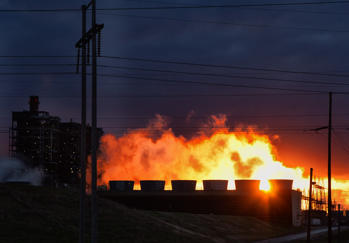
Industry.
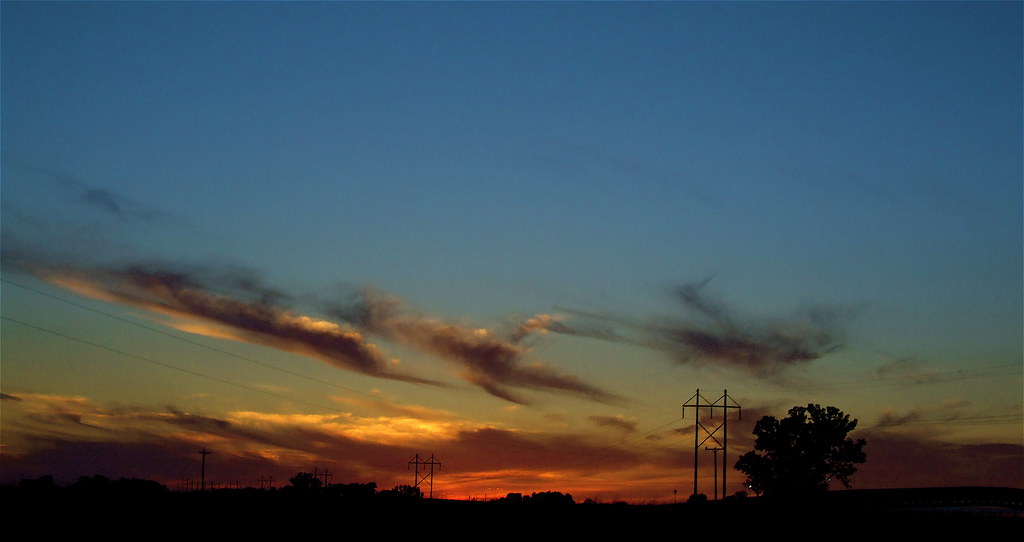
Brush Strokes And Silhouettes IV
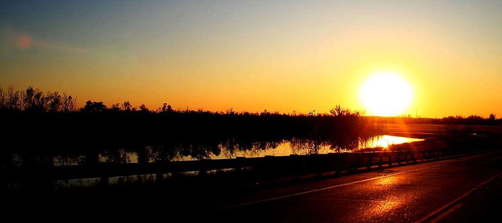
Sunset on the Bypass
Sunrise
Gravel Road
CSX T084, Robards,KY 12/18/2013

Curdsville School
Barn on a Hill
#tbt with my cuz @joediamond14 #transformers and #mullets made the 80s great
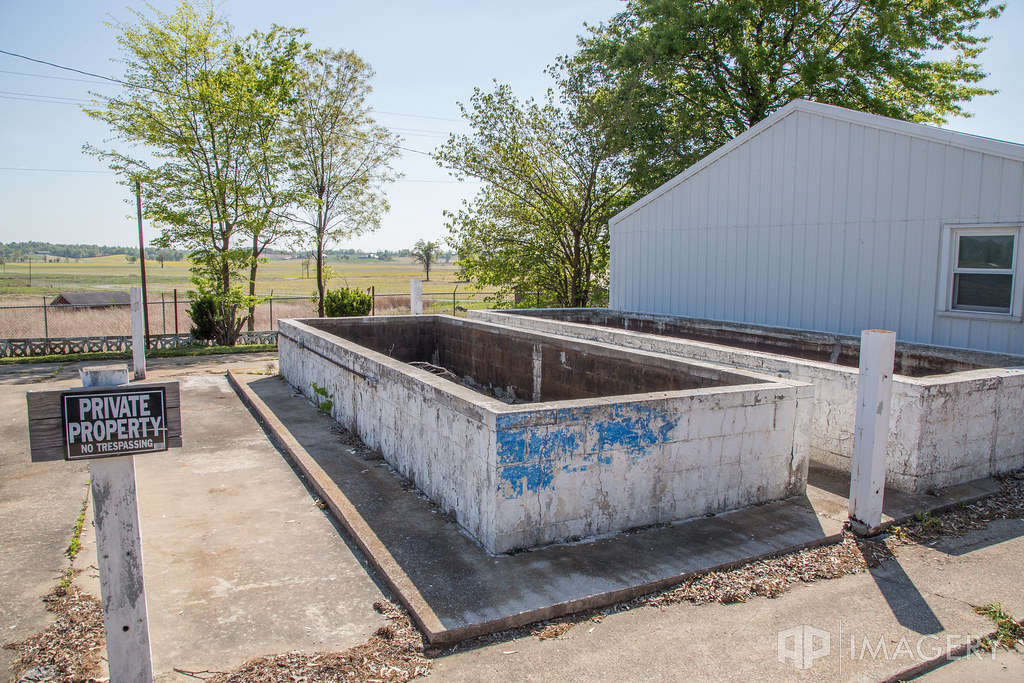
Diamond Lakes - Fish Farming
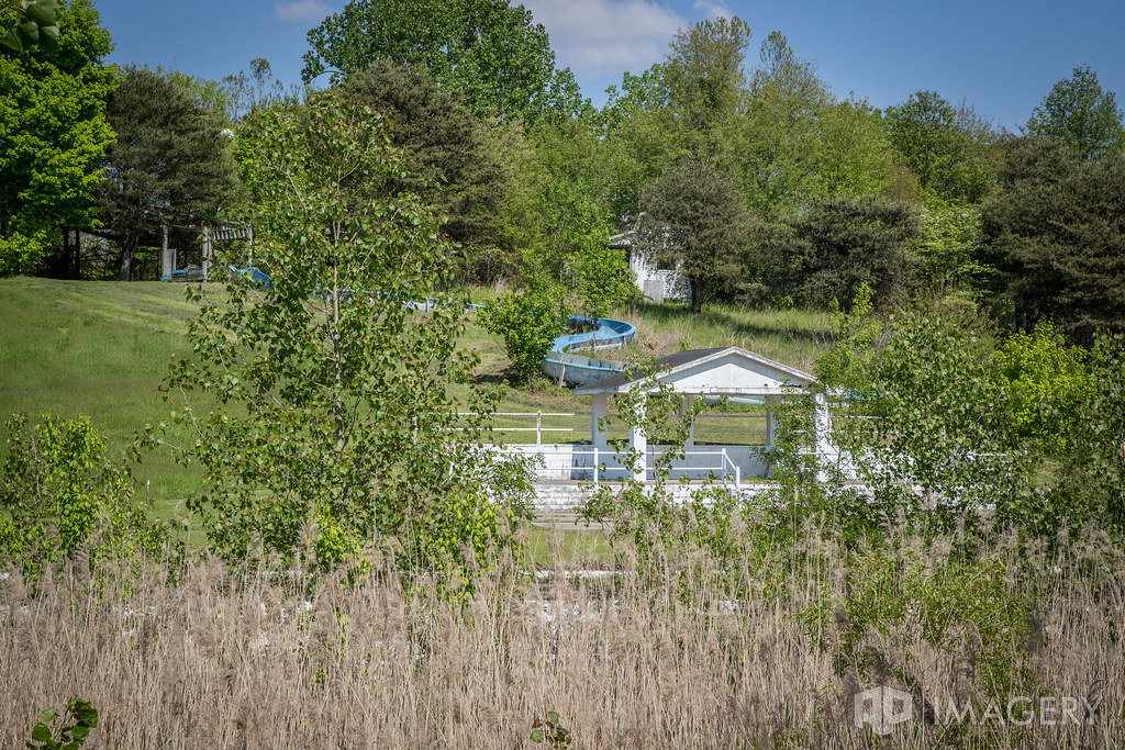
Water Slides
Diamond Lakes - Pool/Lake
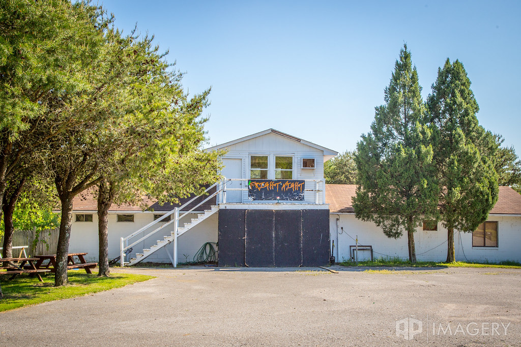
Diamond Lakes - Fright Night
Diamond Lakes

meanwhile down on the farm #libbylee #kaydence #drbilly

#libbylee looking up to sis #lauren #easter
#libbylee #CHOColate #4ever #easter #grandview

Easter time is the time for the eggs! #libbylee #grandview #kaydence

Easter? Ice cream? Yes, please. #libbylee #kaydence #grandview
My Old Kentucky Home
2010-11-28 14.15.26

Glamour / Beauty
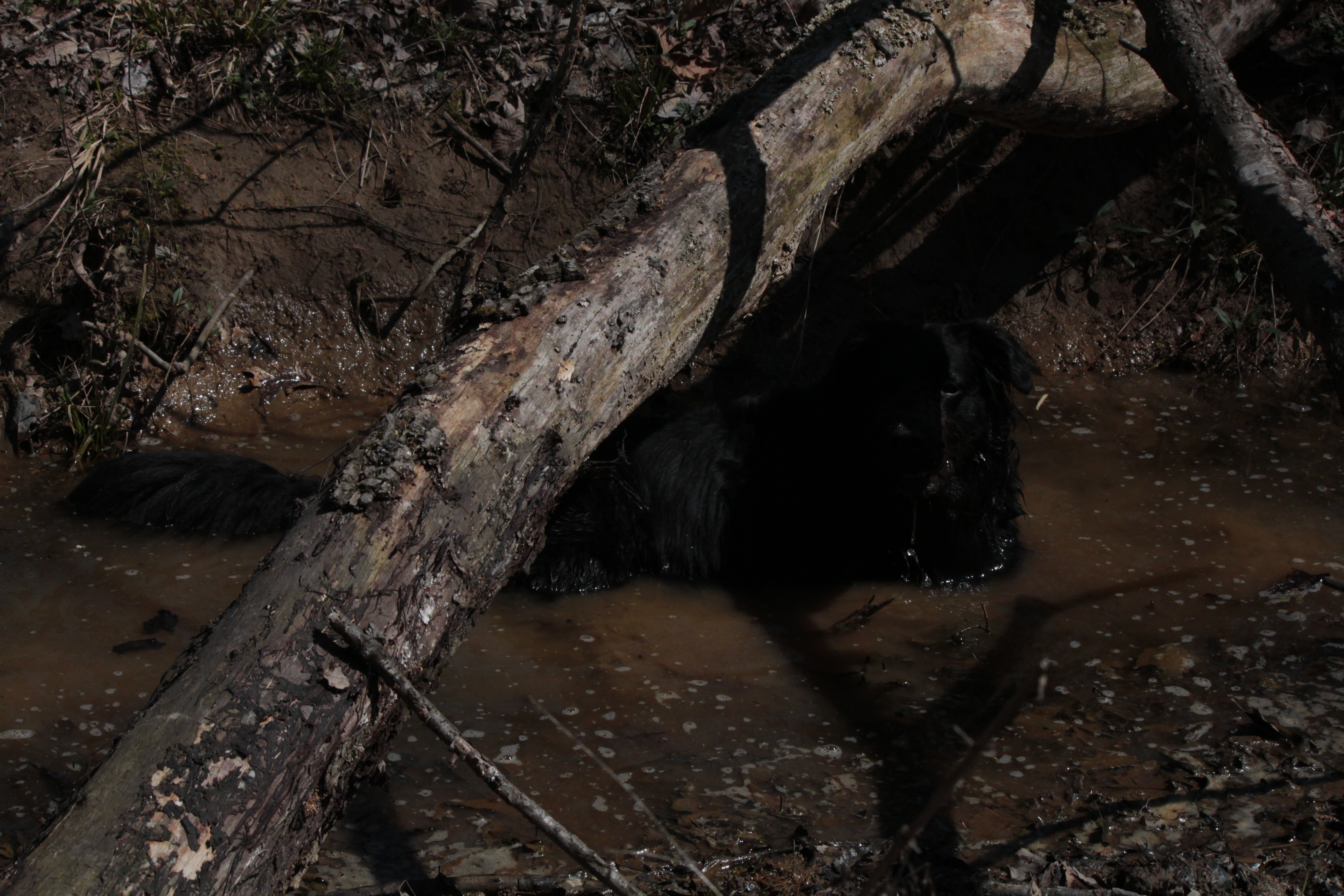
Lurking Beast? IMG_1667
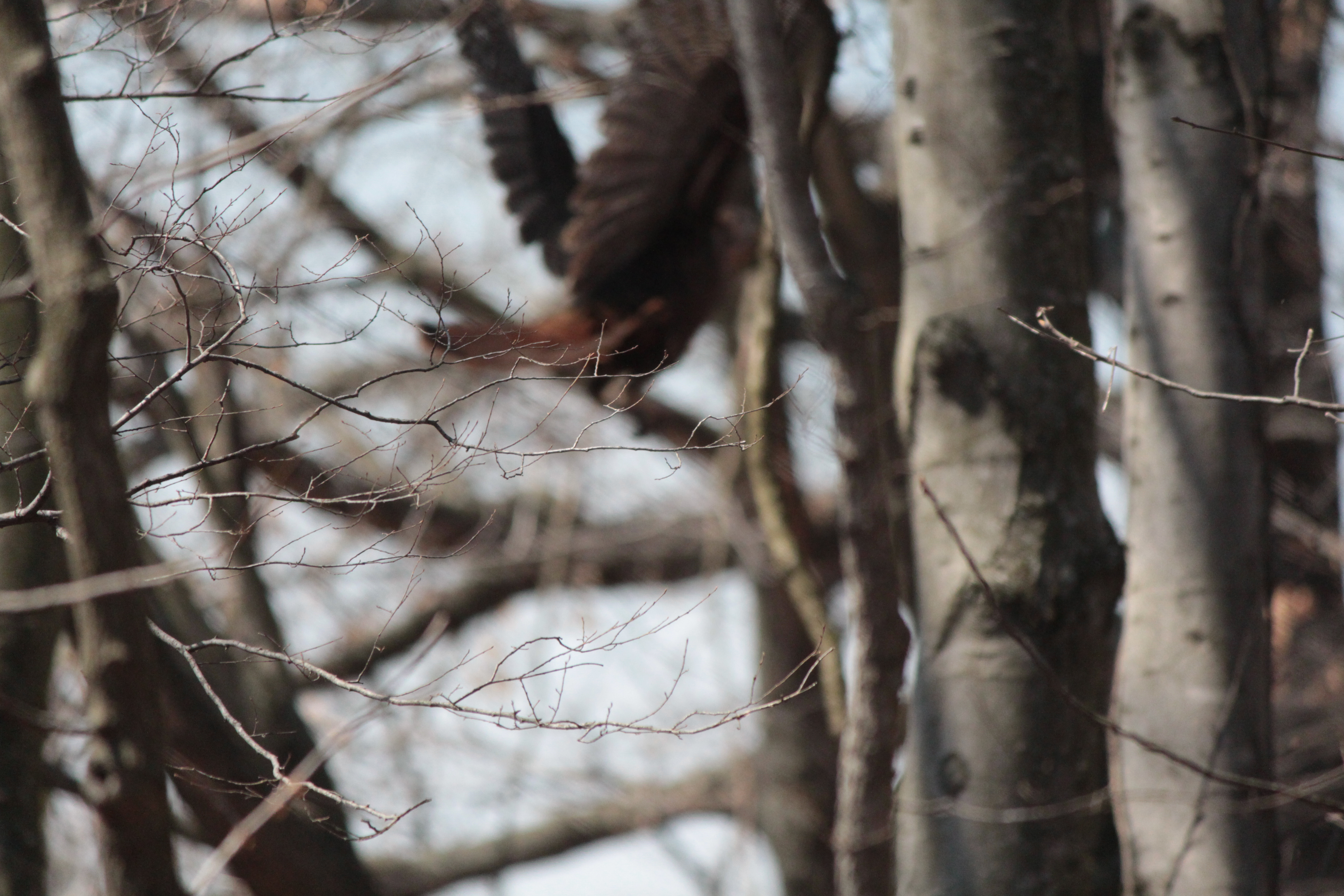
closest I got to the wild turkey IMG_1640
Upper Delaware Rd, Henderson, KY, USA Karte
Suchen Sie einen anderen Ort
Nahe Plätze
Delaware Ferry Ln, Owensboro, KY, USA
Alves Ferry Rd, Henderson, KY, USA
KY-, Owensboro, KY, USA
North Negley Road, N Negley Rd, Kentucky, USA
Main St, Calhoun, KY, USA
Boone St, Owensboro, KY, USA
Sebree, KY, USA
Henderson County, Kentucky, USA
Old Henderson Spottsville Rd, Spottsville, KY, USA
Spottsville, KY, USA
Roger Powell Road, Roger Powell Rd, Sebree, KY, USA
Crestwood Ct, Henderson, KY, USA
Reed, KY, USA
Onton Rd, Slaughters, KY, USA
KY-, Owensboro, KY, USA
Henderson, Kentucky, USA
Woodspoint Dr, Henderson, KY, USA
Morningside Dr, Henderson, KY, USA
Woodspoint Dr, Henderson, KY, USA
8th St, Henderson, KY, USA
Letzte Suche
- Red Dog Mine, AK, USA Sonnenaufgang Sonnenuntergang Zeiten
- Am Bahnhof, Am bhf, Borken, Germany Sonnenaufgang Sonnenuntergang Zeiten
- 4th St E, Sonoma, CA, USA Sonnenaufgang Sonnenuntergang Zeiten
- Oakland Ave, Williamsport, PA, USA Sonnenaufgang Sonnenuntergang Zeiten
- Via Roma, Pieranica CR, Italien Sonnenaufgang Sonnenuntergang Zeiten
- Glockenturm, Grad, Dubrovnik, Kroatien Sonnenaufgang Sonnenuntergang Zeiten
- Trelew, Chubut Province, Argentina Sonnenaufgang Sonnenuntergang Zeiten
- Hartfords Bluff Cir, Mt Pleasant, SC, USA Sonnenaufgang Sonnenuntergang Zeiten
- Kita-ku, Kumamoto, Präfektur Kumamoto, Japan Sonnenaufgang Sonnenuntergang Zeiten
- Pingtan Island, Pingtan County, Fuzhou, China Sonnenaufgang Sonnenuntergang Zeiten