Upper Burningtown Rd, Franklin, NC, USA Sonnenaufgang Sonnenuntergang Zeiten
Location: USA > North Carolina > Macon County > Franklin > >
Zeitzone:
America/New_York
Ortszeit:
2025-06-26 21:45:05
Länge:
-83.507675
Breite:
35.208513
Sonnenaufgang Heute:
06:21:50 AM
Sonnenuntergang Heute:
08:52:42 PM
Tageslänge heute:
14h 30m 52s
Sonnenaufgang morgen:
06:22:13 AM
Sonnenuntergang Morgen:
08:52:43 PM
Tageslänge von morgen:
14h 30m 30s
Alle Termine anzeigen
| Datum | Sonnenaufgang | Sonnenuntergang | Tageslänge |
|---|---|---|---|
| 2025-01-01 | 07:42:40 AM | 05:33:38 PM | 9h 50m 58s |
| 2025-01-02 | 07:42:47 AM | 05:34:25 PM | 9h 51m 38s |
| 2025-01-03 | 07:42:53 AM | 05:35:14 PM | 9h 52m 21s |
| 2025-01-04 | 07:42:57 AM | 05:36:04 PM | 9h 53m 7s |
| 2025-01-05 | 07:42:59 AM | 05:36:55 PM | 9h 53m 56s |
| 2025-01-06 | 07:42:59 AM | 05:37:47 PM | 9h 54m 48s |
| 2025-01-07 | 07:42:57 AM | 05:38:39 PM | 9h 55m 42s |
| 2025-01-08 | 07:42:53 AM | 05:39:33 PM | 9h 56m 40s |
| 2025-01-09 | 07:42:47 AM | 05:40:27 PM | 9h 57m 40s |
| 2025-01-10 | 07:42:39 AM | 05:41:23 PM | 9h 58m 44s |
| 2025-01-11 | 07:42:30 AM | 05:42:19 PM | 9h 59m 49s |
| 2025-01-12 | 07:42:18 AM | 05:43:15 PM | 10h 0m 57s |
| 2025-01-13 | 07:42:05 AM | 05:44:12 PM | 10h 2m 7s |
| 2025-01-14 | 07:41:49 AM | 05:45:10 PM | 10h 3m 21s |
| 2025-01-15 | 07:41:32 AM | 05:46:09 PM | 10h 4m 37s |
| 2025-01-16 | 07:41:13 AM | 05:47:07 PM | 10h 5m 54s |
| 2025-01-17 | 07:40:52 AM | 05:48:07 PM | 10h 7m 15s |
| 2025-01-18 | 07:40:29 AM | 05:49:06 PM | 10h 8m 37s |
| 2025-01-19 | 07:40:04 AM | 05:50:06 PM | 10h 10m 2s |
| 2025-01-20 | 07:39:38 AM | 05:51:07 PM | 10h 11m 29s |
| 2025-01-21 | 07:39:09 AM | 05:52:08 PM | 10h 12m 59s |
| 2025-01-22 | 07:38:39 AM | 05:53:08 PM | 10h 14m 29s |
| 2025-01-23 | 07:38:07 AM | 05:54:10 PM | 10h 16m 3s |
| 2025-01-24 | 07:37:33 AM | 05:55:11 PM | 10h 17m 38s |
| 2025-01-25 | 07:36:58 AM | 05:56:12 PM | 10h 19m 14s |
| 2025-01-26 | 07:36:21 AM | 05:57:14 PM | 10h 20m 53s |
| 2025-01-27 | 07:35:42 AM | 05:58:15 PM | 10h 22m 33s |
| 2025-01-28 | 07:35:02 AM | 05:59:17 PM | 10h 24m 15s |
| 2025-01-29 | 07:34:20 AM | 06:00:18 PM | 10h 25m 58s |
| 2025-01-30 | 07:33:36 AM | 06:01:20 PM | 10h 27m 44s |
| 2025-01-31 | 07:32:51 AM | 06:02:22 PM | 10h 29m 31s |
| 2025-02-01 | 07:32:04 AM | 06:03:23 PM | 10h 31m 19s |
| 2025-02-02 | 07:31:16 AM | 06:04:24 PM | 10h 33m 8s |
| 2025-02-03 | 07:30:26 AM | 06:05:25 PM | 10h 34m 59s |
| 2025-02-04 | 07:29:35 AM | 06:06:26 PM | 10h 36m 51s |
| 2025-02-05 | 07:28:42 AM | 06:07:27 PM | 10h 38m 45s |
| 2025-02-06 | 07:27:48 AM | 06:08:28 PM | 10h 40m 40s |
| 2025-02-07 | 07:26:52 AM | 06:09:28 PM | 10h 42m 36s |
| 2025-02-08 | 07:25:56 AM | 06:10:28 PM | 10h 44m 32s |
| 2025-02-09 | 07:24:58 AM | 06:11:28 PM | 10h 46m 30s |
| 2025-02-10 | 07:23:58 AM | 06:12:28 PM | 10h 48m 30s |
| 2025-02-11 | 07:22:58 AM | 06:13:27 PM | 10h 50m 29s |
| 2025-02-12 | 07:21:56 AM | 06:14:27 PM | 10h 52m 31s |
| 2025-02-13 | 07:20:53 AM | 06:15:25 PM | 10h 54m 32s |
| 2025-02-14 | 07:19:49 AM | 06:16:24 PM | 10h 56m 35s |
| 2025-02-15 | 07:18:43 AM | 06:17:22 PM | 10h 58m 39s |
| 2025-02-16 | 07:17:37 AM | 06:18:20 PM | 11h 0m 43s |
| 2025-02-17 | 07:16:29 AM | 06:19:18 PM | 11h 2m 49s |
| 2025-02-18 | 07:15:21 AM | 06:20:15 PM | 11h 4m 54s |
| 2025-02-19 | 07:14:11 AM | 06:21:12 PM | 11h 7m 1s |
| 2025-02-20 | 07:13:01 AM | 06:22:08 PM | 11h 9m 7s |
| 2025-02-21 | 07:11:50 AM | 06:23:04 PM | 11h 11m 14s |
| 2025-02-22 | 07:10:37 AM | 06:24:00 PM | 11h 13m 23s |
| 2025-02-23 | 07:09:24 AM | 06:24:56 PM | 11h 15m 32s |
| 2025-02-24 | 07:08:10 AM | 06:25:51 PM | 11h 17m 41s |
| 2025-02-25 | 07:06:56 AM | 06:26:46 PM | 11h 19m 50s |
| 2025-02-26 | 07:05:40 AM | 06:27:40 PM | 11h 22m 0s |
| 2025-02-27 | 07:04:24 AM | 06:28:35 PM | 11h 24m 11s |
| 2025-02-28 | 07:03:07 AM | 06:29:29 PM | 11h 26m 22s |
| 2025-03-01 | 07:01:49 AM | 06:30:22 PM | 11h 28m 33s |
| 2025-03-02 | 07:00:31 AM | 06:31:15 PM | 11h 30m 44s |
| 2025-03-03 | 06:59:12 AM | 06:32:08 PM | 11h 32m 56s |
| 2025-03-04 | 06:57:52 AM | 06:33:01 PM | 11h 35m 9s |
| 2025-03-05 | 06:56:32 AM | 06:33:53 PM | 11h 37m 21s |
| 2025-03-06 | 06:55:12 AM | 06:34:45 PM | 11h 39m 33s |
| 2025-03-07 | 06:53:51 AM | 06:35:37 PM | 11h 41m 46s |
| 2025-03-08 | 06:52:29 AM | 06:36:29 PM | 11h 44m 0s |
| 2025-03-09 | 07:51:11 AM | 07:37:18 PM | 11h 46m 7s |
| 2025-03-10 | 07:49:48 AM | 07:38:09 PM | 11h 48m 21s |
| 2025-03-11 | 07:48:25 AM | 07:39:00 PM | 11h 50m 35s |
| 2025-03-12 | 07:47:02 AM | 07:39:50 PM | 11h 52m 48s |
| 2025-03-13 | 07:45:39 AM | 07:40:41 PM | 11h 55m 2s |
| 2025-03-14 | 07:44:15 AM | 07:41:31 PM | 11h 57m 16s |
| 2025-03-15 | 07:42:51 AM | 07:42:21 PM | 11h 59m 30s |
| 2025-03-16 | 07:41:27 AM | 07:43:10 PM | 12h 1m 43s |
| 2025-03-17 | 07:40:03 AM | 07:44:00 PM | 12h 3m 57s |
| 2025-03-18 | 07:38:39 AM | 07:44:49 PM | 12h 6m 10s |
| 2025-03-19 | 07:37:14 AM | 07:45:39 PM | 12h 8m 25s |
| 2025-03-20 | 07:35:49 AM | 07:46:28 PM | 12h 10m 39s |
| 2025-03-21 | 07:34:24 AM | 07:47:17 PM | 12h 12m 53s |
| 2025-03-22 | 07:33:00 AM | 07:48:05 PM | 12h 15m 5s |
| 2025-03-23 | 07:31:35 AM | 07:48:54 PM | 12h 17m 19s |
| 2025-03-24 | 07:30:10 AM | 07:49:43 PM | 12h 19m 33s |
| 2025-03-25 | 07:28:45 AM | 07:50:31 PM | 12h 21m 46s |
| 2025-03-26 | 07:27:20 AM | 07:51:20 PM | 12h 24m 0s |
| 2025-03-27 | 07:25:56 AM | 07:52:08 PM | 12h 26m 12s |
| 2025-03-28 | 07:24:31 AM | 07:52:57 PM | 12h 28m 26s |
| 2025-03-29 | 07:23:07 AM | 07:53:45 PM | 12h 30m 38s |
| 2025-03-30 | 07:21:43 AM | 07:54:33 PM | 12h 32m 50s |
| 2025-03-31 | 07:20:19 AM | 07:55:22 PM | 12h 35m 3s |
| 2025-04-01 | 07:18:55 AM | 07:56:10 PM | 12h 37m 15s |
| 2025-04-02 | 07:17:32 AM | 07:56:58 PM | 12h 39m 26s |
| 2025-04-03 | 07:16:09 AM | 07:57:46 PM | 12h 41m 37s |
| 2025-04-04 | 07:14:46 AM | 07:58:35 PM | 12h 43m 49s |
| 2025-04-05 | 07:13:24 AM | 07:59:23 PM | 12h 45m 59s |
| 2025-04-06 | 07:12:02 AM | 08:00:11 PM | 12h 48m 9s |
| 2025-04-07 | 07:10:40 AM | 08:00:59 PM | 12h 50m 19s |
| 2025-04-08 | 07:09:19 AM | 08:01:48 PM | 12h 52m 29s |
| 2025-04-09 | 07:07:59 AM | 08:02:36 PM | 12h 54m 37s |
| 2025-04-10 | 07:06:39 AM | 08:03:25 PM | 12h 56m 46s |
| 2025-04-11 | 07:05:19 AM | 08:04:13 PM | 12h 58m 54s |
| 2025-04-12 | 07:04:00 AM | 08:05:02 PM | 13h 1m 2s |
| 2025-04-13 | 07:02:42 AM | 08:05:50 PM | 13h 3m 8s |
| 2025-04-14 | 07:01:24 AM | 08:06:39 PM | 13h 5m 15s |
| 2025-04-15 | 07:00:07 AM | 08:07:28 PM | 13h 7m 21s |
| 2025-04-16 | 06:58:50 AM | 08:08:16 PM | 13h 9m 26s |
| 2025-04-17 | 06:57:35 AM | 08:09:05 PM | 13h 11m 30s |
| 2025-04-18 | 06:56:20 AM | 08:09:54 PM | 13h 13m 34s |
| 2025-04-19 | 06:55:05 AM | 08:10:43 PM | 13h 15m 38s |
| 2025-04-20 | 06:53:52 AM | 08:11:32 PM | 13h 17m 40s |
| 2025-04-21 | 06:52:39 AM | 08:12:21 PM | 13h 19m 42s |
| 2025-04-22 | 06:51:28 AM | 08:13:11 PM | 13h 21m 43s |
| 2025-04-23 | 06:50:17 AM | 08:14:00 PM | 13h 23m 43s |
| 2025-04-24 | 06:49:07 AM | 08:14:49 PM | 13h 25m 42s |
| 2025-04-25 | 06:47:58 AM | 08:15:38 PM | 13h 27m 40s |
| 2025-04-26 | 06:46:50 AM | 08:16:28 PM | 13h 29m 38s |
| 2025-04-27 | 06:45:43 AM | 08:17:17 PM | 13h 31m 34s |
| 2025-04-28 | 06:44:37 AM | 08:18:06 PM | 13h 33m 29s |
| 2025-04-29 | 06:43:32 AM | 08:18:56 PM | 13h 35m 24s |
| 2025-04-30 | 06:42:28 AM | 08:19:45 PM | 13h 37m 17s |
| 2025-05-01 | 06:41:26 AM | 08:20:34 PM | 13h 39m 8s |
| 2025-05-02 | 06:40:24 AM | 08:21:23 PM | 13h 40m 59s |
| 2025-05-03 | 06:39:23 AM | 08:22:13 PM | 13h 42m 50s |
| 2025-05-04 | 06:38:24 AM | 08:23:02 PM | 13h 44m 38s |
| 2025-05-05 | 06:37:26 AM | 08:23:51 PM | 13h 46m 25s |
| 2025-05-06 | 06:36:29 AM | 08:24:40 PM | 13h 48m 11s |
| 2025-05-07 | 06:35:34 AM | 08:25:28 PM | 13h 49m 54s |
| 2025-05-08 | 06:34:40 AM | 08:26:17 PM | 13h 51m 37s |
| 2025-05-09 | 06:33:47 AM | 08:27:05 PM | 13h 53m 18s |
| 2025-05-10 | 06:32:55 AM | 08:27:54 PM | 13h 54m 59s |
| 2025-05-11 | 06:32:05 AM | 08:28:42 PM | 13h 56m 37s |
| 2025-05-12 | 06:31:16 AM | 08:29:30 PM | 13h 58m 14s |
| 2025-05-13 | 06:30:28 AM | 08:30:17 PM | 13h 59m 49s |
| 2025-05-14 | 06:29:42 AM | 08:31:04 PM | 14h 1m 22s |
| 2025-05-15 | 06:28:58 AM | 08:31:51 PM | 14h 2m 53s |
| 2025-05-16 | 06:28:15 AM | 08:32:38 PM | 14h 4m 23s |
| 2025-05-17 | 06:27:33 AM | 08:33:24 PM | 14h 5m 51s |
| 2025-05-18 | 06:26:53 AM | 08:34:10 PM | 14h 7m 17s |
| 2025-05-19 | 06:26:14 AM | 08:34:55 PM | 14h 8m 41s |
| 2025-05-20 | 06:25:37 AM | 08:35:40 PM | 14h 10m 3s |
| 2025-05-21 | 06:25:02 AM | 08:36:25 PM | 14h 11m 23s |
| 2025-05-22 | 06:24:28 AM | 08:37:09 PM | 14h 12m 41s |
| 2025-05-23 | 06:23:55 AM | 08:37:52 PM | 14h 13m 57s |
| 2025-05-24 | 06:23:25 AM | 08:38:35 PM | 14h 15m 10s |
| 2025-05-25 | 06:22:56 AM | 08:39:17 PM | 14h 16m 21s |
| 2025-05-26 | 06:22:28 AM | 08:39:58 PM | 14h 17m 30s |
| 2025-05-27 | 06:22:02 AM | 08:40:39 PM | 14h 18m 37s |
| 2025-05-28 | 06:21:38 AM | 08:41:19 PM | 14h 19m 41s |
| 2025-05-29 | 06:21:15 AM | 08:41:58 PM | 14h 20m 43s |
| 2025-05-30 | 06:20:54 AM | 08:42:36 PM | 14h 21m 42s |
| 2025-05-31 | 06:20:35 AM | 08:43:14 PM | 14h 22m 39s |
| 2025-06-01 | 06:20:17 AM | 08:43:51 PM | 14h 23m 34s |
| 2025-06-02 | 06:20:01 AM | 08:44:26 PM | 14h 24m 25s |
| 2025-06-03 | 06:19:47 AM | 08:45:01 PM | 14h 25m 14s |
| 2025-06-04 | 06:19:34 AM | 08:45:35 PM | 14h 26m 1s |
| 2025-06-05 | 06:19:23 AM | 08:46:08 PM | 14h 26m 45s |
| 2025-06-06 | 06:19:14 AM | 08:46:39 PM | 14h 27m 25s |
| 2025-06-07 | 06:19:06 AM | 08:47:10 PM | 14h 28m 4s |
| 2025-06-08 | 06:19:00 AM | 08:47:40 PM | 14h 28m 40s |
| 2025-06-09 | 06:18:56 AM | 08:48:08 PM | 14h 29m 12s |
| 2025-06-10 | 06:18:53 AM | 08:48:35 PM | 14h 29m 42s |
| 2025-06-11 | 06:18:52 AM | 08:49:01 PM | 14h 30m 9s |
| 2025-06-12 | 06:18:53 AM | 08:49:25 PM | 14h 30m 32s |
| 2025-06-13 | 06:18:55 AM | 08:49:49 PM | 14h 30m 54s |
| 2025-06-14 | 06:18:58 AM | 08:50:11 PM | 14h 31m 13s |
| 2025-06-15 | 06:19:04 AM | 08:50:31 PM | 14h 31m 27s |
| 2025-06-16 | 06:19:11 AM | 08:50:50 PM | 14h 31m 39s |
| 2025-06-17 | 06:19:19 AM | 08:51:08 PM | 14h 31m 49s |
| 2025-06-18 | 06:19:29 AM | 08:51:25 PM | 14h 31m 56s |
| 2025-06-19 | 06:19:40 AM | 08:51:39 PM | 14h 31m 59s |
| 2025-06-20 | 06:19:53 AM | 08:51:53 PM | 14h 32m 0s |
| 2025-06-21 | 06:20:07 AM | 08:52:05 PM | 14h 31m 58s |
| 2025-06-22 | 06:20:23 AM | 08:52:15 PM | 14h 31m 52s |
| 2025-06-23 | 06:20:40 AM | 08:52:24 PM | 14h 31m 44s |
| 2025-06-24 | 06:20:58 AM | 08:52:31 PM | 14h 31m 33s |
| 2025-06-25 | 06:21:18 AM | 08:52:36 PM | 14h 31m 18s |
| 2025-06-26 | 06:21:39 AM | 08:52:40 PM | 14h 31m 1s |
| 2025-06-27 | 06:22:01 AM | 08:52:43 PM | 14h 30m 42s |
| 2025-06-28 | 06:22:25 AM | 08:52:43 PM | 14h 30m 18s |
| 2025-06-29 | 06:22:49 AM | 08:52:42 PM | 14h 29m 53s |
| 2025-06-30 | 06:23:15 AM | 08:52:40 PM | 14h 29m 25s |
| 2025-07-01 | 06:23:42 AM | 08:52:35 PM | 14h 28m 53s |
| 2025-07-02 | 06:24:10 AM | 08:52:29 PM | 14h 28m 19s |
| 2025-07-03 | 06:24:40 AM | 08:52:22 PM | 14h 27m 42s |
| 2025-07-04 | 06:25:10 AM | 08:52:12 PM | 14h 27m 2s |
| 2025-07-05 | 06:25:41 AM | 08:52:01 PM | 14h 26m 20s |
| 2025-07-06 | 06:26:14 AM | 08:51:48 PM | 14h 25m 34s |
| 2025-07-07 | 06:26:47 AM | 08:51:34 PM | 14h 24m 47s |
| 2025-07-08 | 06:27:21 AM | 08:51:17 PM | 14h 23m 56s |
| 2025-07-09 | 06:27:56 AM | 08:50:59 PM | 14h 23m 3s |
| 2025-07-10 | 06:28:32 AM | 08:50:40 PM | 14h 22m 8s |
| 2025-07-11 | 06:29:08 AM | 08:50:18 PM | 14h 21m 10s |
| 2025-07-12 | 06:29:45 AM | 08:49:55 PM | 14h 20m 10s |
| 2025-07-13 | 06:30:23 AM | 08:49:31 PM | 14h 19m 8s |
| 2025-07-14 | 06:31:02 AM | 08:49:04 PM | 14h 18m 2s |
| 2025-07-15 | 06:31:41 AM | 08:48:36 PM | 14h 16m 55s |
| 2025-07-16 | 06:32:21 AM | 08:48:07 PM | 14h 15m 46s |
| 2025-07-17 | 06:33:02 AM | 08:47:35 PM | 14h 14m 33s |
| 2025-07-18 | 06:33:43 AM | 08:47:02 PM | 14h 13m 19s |
| 2025-07-19 | 06:34:25 AM | 08:46:28 PM | 14h 12m 3s |
| 2025-07-20 | 06:35:07 AM | 08:45:51 PM | 14h 10m 44s |
| 2025-07-21 | 06:35:49 AM | 08:45:14 PM | 14h 9m 25s |
| 2025-07-22 | 06:36:32 AM | 08:44:34 PM | 14h 8m 2s |
| 2025-07-23 | 06:37:15 AM | 08:43:53 PM | 14h 6m 38s |
| 2025-07-24 | 06:37:59 AM | 08:43:11 PM | 14h 5m 12s |
| 2025-07-25 | 06:38:43 AM | 08:42:27 PM | 14h 3m 44s |
| 2025-07-26 | 06:39:27 AM | 08:41:42 PM | 14h 2m 15s |
| 2025-07-27 | 06:40:12 AM | 08:40:55 PM | 14h 0m 43s |
| 2025-07-28 | 06:40:57 AM | 08:40:06 PM | 13h 59m 9s |
| 2025-07-29 | 06:41:42 AM | 08:39:16 PM | 13h 57m 34s |
| 2025-07-30 | 06:42:27 AM | 08:38:25 PM | 13h 55m 58s |
| 2025-07-31 | 06:43:12 AM | 08:37:33 PM | 13h 54m 21s |
| 2025-08-01 | 06:43:58 AM | 08:36:39 PM | 13h 52m 41s |
| 2025-08-02 | 06:44:43 AM | 08:35:43 PM | 13h 51m 0s |
| 2025-08-03 | 06:45:29 AM | 08:34:47 PM | 13h 49m 18s |
| 2025-08-04 | 06:46:15 AM | 08:33:49 PM | 13h 47m 34s |
| 2025-08-05 | 06:47:01 AM | 08:32:50 PM | 13h 45m 49s |
| 2025-08-06 | 06:47:47 AM | 08:31:49 PM | 13h 44m 2s |
| 2025-08-07 | 06:48:33 AM | 08:30:48 PM | 13h 42m 15s |
| 2025-08-08 | 06:49:19 AM | 08:29:45 PM | 13h 40m 26s |
| 2025-08-09 | 06:50:05 AM | 08:28:41 PM | 13h 38m 36s |
| 2025-08-10 | 06:50:51 AM | 08:27:36 PM | 13h 36m 45s |
| 2025-08-11 | 06:51:37 AM | 08:26:30 PM | 13h 34m 53s |
| 2025-08-12 | 06:52:23 AM | 08:25:22 PM | 13h 32m 59s |
| 2025-08-13 | 06:53:08 AM | 08:24:14 PM | 13h 31m 6s |
| 2025-08-14 | 06:53:54 AM | 08:23:05 PM | 13h 29m 11s |
| 2025-08-15 | 06:54:40 AM | 08:21:55 PM | 13h 27m 15s |
| 2025-08-16 | 06:55:26 AM | 08:20:43 PM | 13h 25m 17s |
| 2025-08-17 | 06:56:11 AM | 08:19:31 PM | 13h 23m 20s |
| 2025-08-18 | 06:56:57 AM | 08:18:18 PM | 13h 21m 21s |
| 2025-08-19 | 06:57:42 AM | 08:17:04 PM | 13h 19m 22s |
| 2025-08-20 | 06:58:28 AM | 08:15:49 PM | 13h 17m 21s |
| 2025-08-21 | 06:59:13 AM | 08:14:33 PM | 13h 15m 20s |
| 2025-08-22 | 06:59:58 AM | 08:13:17 PM | 13h 13m 19s |
| 2025-08-23 | 07:00:43 AM | 08:12:00 PM | 13h 11m 17s |
| 2025-08-24 | 07:01:28 AM | 08:10:42 PM | 13h 9m 14s |
| 2025-08-25 | 07:02:13 AM | 08:09:23 PM | 13h 7m 10s |
| 2025-08-26 | 07:02:58 AM | 08:08:04 PM | 13h 5m 6s |
| 2025-08-27 | 07:03:42 AM | 08:06:44 PM | 13h 3m 2s |
| 2025-08-28 | 07:04:27 AM | 08:05:23 PM | 13h 0m 56s |
| 2025-08-29 | 07:05:11 AM | 08:04:02 PM | 12h 58m 51s |
| 2025-08-30 | 07:05:56 AM | 08:02:40 PM | 12h 56m 44s |
| 2025-08-31 | 07:06:40 AM | 08:01:18 PM | 12h 54m 38s |
| 2025-09-01 | 07:07:25 AM | 07:59:55 PM | 12h 52m 30s |
| 2025-09-02 | 07:08:09 AM | 07:58:31 PM | 12h 50m 22s |
| 2025-09-03 | 07:08:53 AM | 07:57:08 PM | 12h 48m 15s |
| 2025-09-04 | 07:09:37 AM | 07:55:43 PM | 12h 46m 6s |
| 2025-09-05 | 07:10:21 AM | 07:54:19 PM | 12h 43m 58s |
| 2025-09-06 | 07:11:05 AM | 07:52:54 PM | 12h 41m 49s |
| 2025-09-07 | 07:11:49 AM | 07:51:28 PM | 12h 39m 39s |
| 2025-09-08 | 07:12:33 AM | 07:50:03 PM | 12h 37m 30s |
| 2025-09-09 | 07:13:17 AM | 07:48:37 PM | 12h 35m 20s |
| 2025-09-10 | 07:14:01 AM | 07:47:11 PM | 12h 33m 10s |
| 2025-09-11 | 07:14:45 AM | 07:45:44 PM | 12h 30m 59s |
| 2025-09-12 | 07:15:29 AM | 07:44:18 PM | 12h 28m 49s |
| 2025-09-13 | 07:16:13 AM | 07:42:51 PM | 12h 26m 38s |
| 2025-09-14 | 07:16:57 AM | 07:41:24 PM | 12h 24m 27s |
| 2025-09-15 | 07:17:41 AM | 07:39:57 PM | 12h 22m 16s |
| 2025-09-16 | 07:18:25 AM | 07:38:30 PM | 12h 20m 5s |
| 2025-09-17 | 07:19:10 AM | 07:37:03 PM | 12h 17m 53s |
| 2025-09-18 | 07:19:54 AM | 07:35:36 PM | 12h 15m 42s |
| 2025-09-19 | 07:20:38 AM | 07:34:08 PM | 12h 13m 30s |
| 2025-09-20 | 07:21:23 AM | 07:32:41 PM | 12h 11m 18s |
| 2025-09-21 | 07:22:08 AM | 07:31:14 PM | 12h 9m 6s |
| 2025-09-22 | 07:22:52 AM | 07:29:47 PM | 12h 6m 55s |
| 2025-09-23 | 07:23:37 AM | 07:28:20 PM | 12h 4m 43s |
| 2025-09-24 | 07:24:23 AM | 07:26:54 PM | 12h 2m 31s |
| 2025-09-25 | 07:25:08 AM | 07:25:27 PM | 12h 0m 19s |
| 2025-09-26 | 07:25:53 AM | 07:24:01 PM | 11h 58m 8s |
| 2025-09-27 | 07:26:39 AM | 07:22:35 PM | 11h 55m 56s |
| 2025-09-28 | 07:27:25 AM | 07:21:09 PM | 11h 53m 44s |
| 2025-09-29 | 07:28:11 AM | 07:19:43 PM | 11h 51m 32s |
| 2025-09-30 | 07:28:57 AM | 07:18:18 PM | 11h 49m 21s |
| 2025-10-01 | 07:29:44 AM | 07:16:53 PM | 11h 47m 9s |
| 2025-10-02 | 07:30:31 AM | 07:15:29 PM | 11h 44m 58s |
| 2025-10-03 | 07:31:18 AM | 07:14:05 PM | 11h 42m 47s |
| 2025-10-04 | 07:32:05 AM | 07:12:41 PM | 11h 40m 36s |
| 2025-10-05 | 07:32:53 AM | 07:11:18 PM | 11h 38m 25s |
| 2025-10-06 | 07:33:41 AM | 07:09:55 PM | 11h 36m 14s |
| 2025-10-07 | 07:34:29 AM | 07:08:33 PM | 11h 34m 4s |
| 2025-10-08 | 07:35:17 AM | 07:07:12 PM | 11h 31m 55s |
| 2025-10-09 | 07:36:06 AM | 07:05:51 PM | 11h 29m 45s |
| 2025-10-10 | 07:36:55 AM | 07:04:30 PM | 11h 27m 35s |
| 2025-10-11 | 07:37:45 AM | 07:03:11 PM | 11h 25m 26s |
| 2025-10-12 | 07:38:35 AM | 07:01:52 PM | 11h 23m 17s |
| 2025-10-13 | 07:39:25 AM | 07:00:34 PM | 11h 21m 9s |
| 2025-10-14 | 07:40:15 AM | 06:59:16 PM | 11h 19m 1s |
| 2025-10-15 | 07:41:06 AM | 06:57:59 PM | 11h 16m 53s |
| 2025-10-16 | 07:41:58 AM | 06:56:43 PM | 11h 14m 45s |
| 2025-10-17 | 07:42:49 AM | 06:55:28 PM | 11h 12m 39s |
| 2025-10-18 | 07:43:41 AM | 06:54:14 PM | 11h 10m 33s |
| 2025-10-19 | 07:44:33 AM | 06:53:01 PM | 11h 8m 28s |
| 2025-10-20 | 07:45:26 AM | 06:51:48 PM | 11h 6m 22s |
| 2025-10-21 | 07:46:19 AM | 06:50:37 PM | 11h 4m 18s |
| 2025-10-22 | 07:47:13 AM | 06:49:26 PM | 11h 2m 13s |
| 2025-10-23 | 07:48:06 AM | 06:48:17 PM | 11h 0m 11s |
| 2025-10-24 | 07:49:01 AM | 06:47:09 PM | 10h 58m 8s |
| 2025-10-25 | 07:49:55 AM | 06:46:02 PM | 10h 56m 7s |
| 2025-10-26 | 07:50:50 AM | 06:44:55 PM | 10h 54m 5s |
| 2025-10-27 | 07:51:45 AM | 06:43:50 PM | 10h 52m 5s |
| 2025-10-28 | 07:52:41 AM | 06:42:47 PM | 10h 50m 6s |
| 2025-10-29 | 07:53:36 AM | 06:41:44 PM | 10h 48m 8s |
| 2025-10-30 | 07:54:33 AM | 06:40:43 PM | 10h 46m 10s |
| 2025-10-31 | 07:55:29 AM | 06:39:43 PM | 10h 44m 14s |
| 2025-11-01 | 07:56:26 AM | 06:38:44 PM | 10h 42m 18s |
| 2025-11-02 | 06:57:25 AM | 05:37:44 PM | 10h 40m 19s |
| 2025-11-03 | 06:58:22 AM | 05:36:49 PM | 10h 38m 27s |
| 2025-11-04 | 06:59:20 AM | 05:35:54 PM | 10h 36m 34s |
| 2025-11-05 | 07:00:18 AM | 05:35:01 PM | 10h 34m 43s |
| 2025-11-06 | 07:01:16 AM | 05:34:09 PM | 10h 32m 53s |
| 2025-11-07 | 07:02:14 AM | 05:33:19 PM | 10h 31m 5s |
| 2025-11-08 | 07:03:12 AM | 05:32:31 PM | 10h 29m 19s |
| 2025-11-09 | 07:04:11 AM | 05:31:44 PM | 10h 27m 33s |
| 2025-11-10 | 07:05:09 AM | 05:30:58 PM | 10h 25m 49s |
| 2025-11-11 | 07:06:08 AM | 05:30:14 PM | 10h 24m 6s |
| 2025-11-12 | 07:07:07 AM | 05:29:32 PM | 10h 22m 25s |
| 2025-11-13 | 07:08:05 AM | 05:28:52 PM | 10h 20m 47s |
| 2025-11-14 | 07:09:04 AM | 05:28:13 PM | 10h 19m 9s |
| 2025-11-15 | 07:10:03 AM | 05:27:36 PM | 10h 17m 33s |
| 2025-11-16 | 07:11:01 AM | 05:27:00 PM | 10h 15m 59s |
| 2025-11-17 | 07:12:00 AM | 05:26:27 PM | 10h 14m 27s |
| 2025-11-18 | 07:12:58 AM | 05:25:55 PM | 10h 12m 57s |
| 2025-11-19 | 07:13:57 AM | 05:25:25 PM | 10h 11m 28s |
| 2025-11-20 | 07:14:55 AM | 05:24:57 PM | 10h 10m 2s |
| 2025-11-21 | 07:15:53 AM | 05:24:30 PM | 10h 8m 37s |
| 2025-11-22 | 07:16:50 AM | 05:24:06 PM | 10h 7m 16s |
| 2025-11-23 | 07:17:47 AM | 05:23:43 PM | 10h 5m 56s |
| 2025-11-24 | 07:18:44 AM | 05:23:22 PM | 10h 4m 38s |
| 2025-11-25 | 07:19:41 AM | 05:23:04 PM | 10h 3m 23s |
| 2025-11-26 | 07:20:36 AM | 05:22:47 PM | 10h 2m 11s |
| 2025-11-27 | 07:21:32 AM | 05:22:32 PM | 10h 1m 0s |
| 2025-11-28 | 07:22:27 AM | 05:22:19 PM | 9h 59m 52s |
| 2025-11-29 | 07:23:21 AM | 05:22:08 PM | 9h 58m 47s |
| 2025-11-30 | 07:24:15 AM | 05:21:59 PM | 9h 57m 44s |
| 2025-12-01 | 07:25:08 AM | 05:21:52 PM | 9h 56m 44s |
| 2025-12-02 | 07:26:00 AM | 05:21:46 PM | 9h 55m 46s |
| 2025-12-03 | 07:26:51 AM | 05:21:43 PM | 9h 54m 52s |
| 2025-12-04 | 07:27:42 AM | 05:21:42 PM | 9h 54m 0s |
| 2025-12-05 | 07:28:32 AM | 05:21:43 PM | 9h 53m 11s |
| 2025-12-06 | 07:29:20 AM | 05:21:45 PM | 9h 52m 25s |
| 2025-12-07 | 07:30:08 AM | 05:21:50 PM | 9h 51m 42s |
| 2025-12-08 | 07:30:55 AM | 05:21:57 PM | 9h 51m 2s |
| 2025-12-09 | 07:31:41 AM | 05:22:05 PM | 9h 50m 24s |
| 2025-12-10 | 07:32:25 AM | 05:22:16 PM | 9h 49m 51s |
| 2025-12-11 | 07:33:09 AM | 05:22:28 PM | 9h 49m 19s |
| 2025-12-12 | 07:33:51 AM | 05:22:42 PM | 9h 48m 51s |
| 2025-12-13 | 07:34:32 AM | 05:22:59 PM | 9h 48m 27s |
| 2025-12-14 | 07:35:11 AM | 05:23:17 PM | 9h 48m 6s |
| 2025-12-15 | 07:35:50 AM | 05:23:36 PM | 9h 47m 46s |
| 2025-12-16 | 07:36:27 AM | 05:23:58 PM | 9h 47m 31s |
| 2025-12-17 | 07:37:02 AM | 05:24:22 PM | 9h 47m 20s |
| 2025-12-18 | 07:37:36 AM | 05:24:47 PM | 9h 47m 11s |
| 2025-12-19 | 07:38:08 AM | 05:25:14 PM | 9h 47m 6s |
| 2025-12-20 | 07:38:39 AM | 05:25:42 PM | 9h 47m 3s |
| 2025-12-21 | 07:39:09 AM | 05:26:13 PM | 9h 47m 4s |
| 2025-12-22 | 07:39:36 AM | 05:26:45 PM | 9h 47m 9s |
| 2025-12-23 | 07:40:02 AM | 05:27:18 PM | 9h 47m 16s |
| 2025-12-24 | 07:40:27 AM | 05:27:54 PM | 9h 47m 27s |
| 2025-12-25 | 07:40:49 AM | 05:28:30 PM | 9h 47m 41s |
| 2025-12-26 | 07:41:10 AM | 05:29:08 PM | 9h 47m 58s |
| 2025-12-27 | 07:41:29 AM | 05:29:48 PM | 9h 48m 19s |
| 2025-12-28 | 07:41:47 AM | 05:30:29 PM | 9h 48m 42s |
| 2025-12-29 | 07:42:02 AM | 05:31:11 PM | 9h 49m 9s |
| 2025-12-30 | 07:42:16 AM | 05:31:55 PM | 9h 49m 39s |
| 2025-12-31 | 07:42:28 AM | 05:32:40 PM | 9h 50m 12s |
Fotos

West View from Wesser Bald Observation Tower
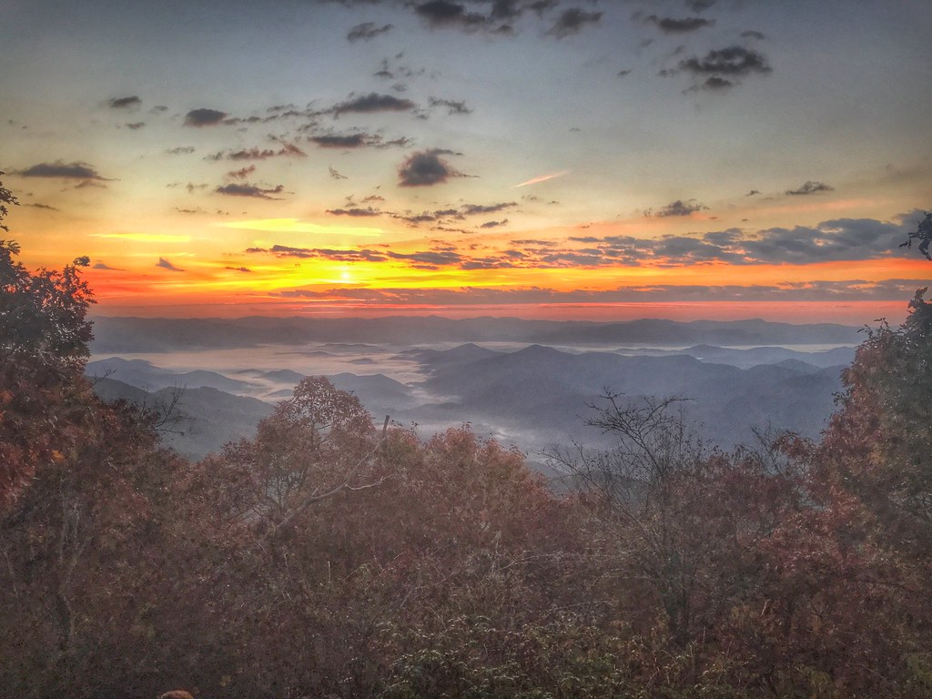
Mountain waves
Lake Nantahala sunset
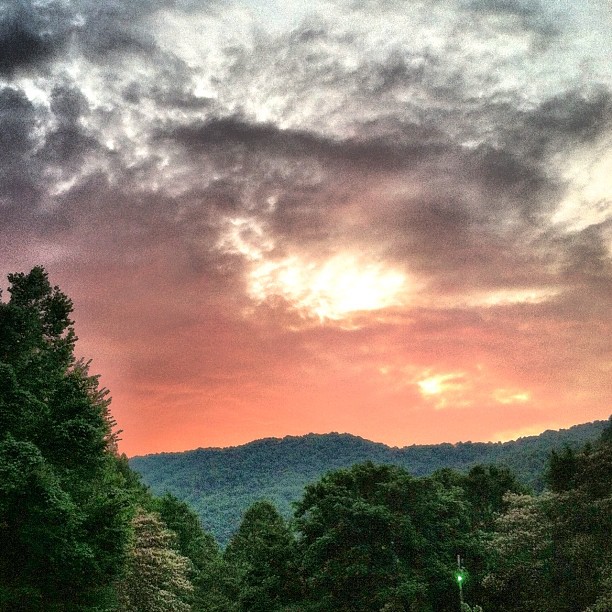
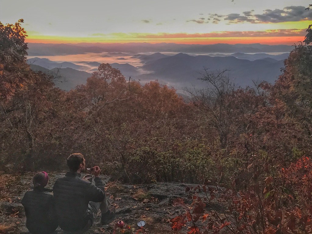
Winding Stair Sunrise
Winding Stair Sunrise
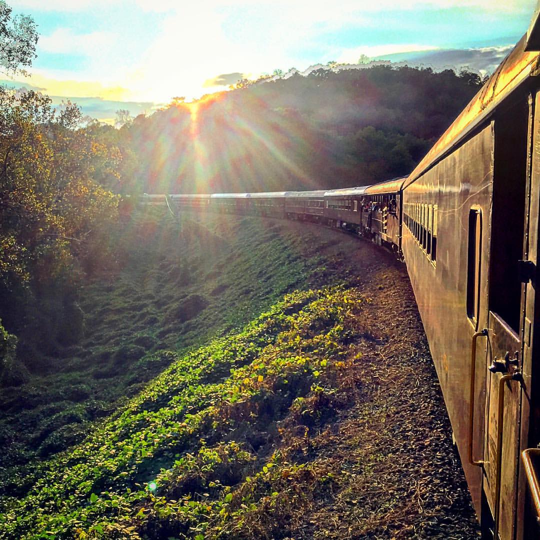
#sunset #train #northcarolina

Just Past the Falls
249/365
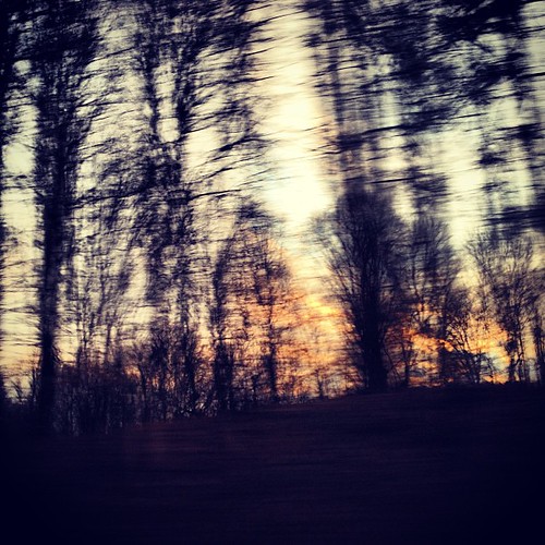
Sunset thru the trees

Sunset at Aquone Hiker Lodge
Topiary garden
Up At SunSet

Hope versus Despair

Tail of the Dragon 06

Sunset over Clingman's Dome
BLT & Onion Rings
Sunset Restaurant
Dawn a Mile Up on the AT

Double Cheeseburger & Onion Rings

Fruit Salad Plate
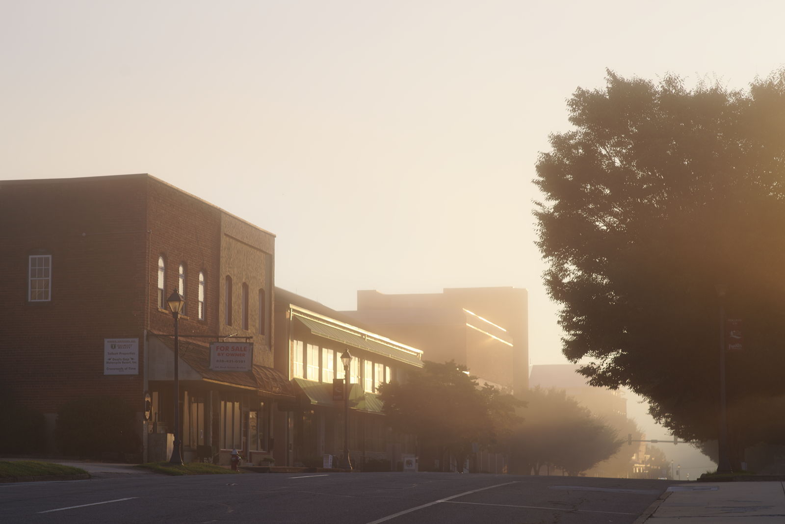
Morning on Main Street

Sunrise on the Appalachian Trail
Waiting for Sunrise on the AT
Upper Burningtown Rd, Franklin, NC, USA Karte
Suchen Sie einen anderen Ort
Nahe Plätze
27 Ray Creek Rd, Franklin, NC, USA
Upper Burningtown Rd, Franklin, NC, USA
Wilds Cove Rd, Franklin, NC, USA
Burningtown Falls Road, Burningtown Falls Rd, Franklin, NC, USA
Wilds Cove Rd, Franklin, NC, USA
Settler's Ln, Franklin, NC, USA
Settler's Ln, Franklin, NC, USA
19 Tumblewood Dr, Franklin, NC, USA
66 Clampit Cove Rd, Franklin, NC, USA
Olive Hill Rd, Franklin, NC, USA
Upper Burningtown Rd, Franklin, NC, USA
Runaway Hills Rd, Franklin, NC, USA
Middle Burningtown Rd, Franklin, NC, USA
Middle Burningtown Rd, Franklin, NC, USA
Burningtown, NC, USA
Timber Creek Dr, Franklin, NC, USA
47 Daves Creek Rd, Franklin, NC, USA
Wayah Rd, Franklin, NC, USA
Garden Flats Rd, Franklin, NC, USA
Wayah Rd, Franklin, NC, USA
Letzte Suche
- Red Dog Mine, AK, USA Sonnenaufgang Sonnenuntergang Zeiten
- Am Bahnhof, Am bhf, Borken, Germany Sonnenaufgang Sonnenuntergang Zeiten
- 4th St E, Sonoma, CA, USA Sonnenaufgang Sonnenuntergang Zeiten
- Oakland Ave, Williamsport, PA, USA Sonnenaufgang Sonnenuntergang Zeiten
- Via Roma, Pieranica CR, Italien Sonnenaufgang Sonnenuntergang Zeiten
- Glockenturm, Grad, Dubrovnik, Kroatien Sonnenaufgang Sonnenuntergang Zeiten
- Trelew, Chubut Province, Argentina Sonnenaufgang Sonnenuntergang Zeiten
- Hartfords Bluff Cir, Mt Pleasant, SC, USA Sonnenaufgang Sonnenuntergang Zeiten
- Kita-ku, Kumamoto, Präfektur Kumamoto, Japan Sonnenaufgang Sonnenuntergang Zeiten
- Pingtan Island, Pingtan County, Fuzhou, China Sonnenaufgang Sonnenuntergang Zeiten