Tumbling Peak, East Kootenay G, BC V0A, Kanada Sonnenaufgang Sonnenuntergang Zeiten
Location: Kanada > Britisch-Kolumbien > Regional District of East Kootenay > East Kootenay G >
Zeitzone:
America/Edmonton
Ortszeit:
2025-06-24 06:00:25
Länge:
-116.2316666
Breite:
51.11
Sonnenaufgang Heute:
05:30:52 AM
Sonnenuntergang Heute:
10:04:14 PM
Tageslänge heute:
16h 33m 22s
Sonnenaufgang morgen:
05:31:17 AM
Sonnenuntergang Morgen:
10:04:14 PM
Tageslänge von morgen:
16h 32m 57s
Alle Termine anzeigen
| Datum | Sonnenaufgang | Sonnenuntergang | Tageslänge |
|---|---|---|---|
| 2025-01-01 | 08:48:15 AM | 04:50:00 PM | 8h 1m 45s |
| 2025-01-02 | 08:48:03 AM | 04:51:07 PM | 8h 3m 4s |
| 2025-01-03 | 08:47:48 AM | 04:52:17 PM | 8h 4m 29s |
| 2025-01-04 | 08:47:29 AM | 04:53:29 PM | 8h 6m 0s |
| 2025-01-05 | 08:47:08 AM | 04:54:43 PM | 8h 7m 35s |
| 2025-01-06 | 08:46:43 AM | 04:55:59 PM | 8h 9m 16s |
| 2025-01-07 | 08:46:15 AM | 04:57:18 PM | 8h 11m 3s |
| 2025-01-08 | 08:45:43 AM | 04:58:39 PM | 8h 12m 56s |
| 2025-01-09 | 08:45:09 AM | 05:00:01 PM | 8h 14m 52s |
| 2025-01-10 | 08:44:32 AM | 05:01:26 PM | 8h 16m 54s |
| 2025-01-11 | 08:43:51 AM | 05:02:53 PM | 8h 19m 2s |
| 2025-01-12 | 08:43:08 AM | 05:04:21 PM | 8h 21m 13s |
| 2025-01-13 | 08:42:21 AM | 05:05:51 PM | 8h 23m 30s |
| 2025-01-14 | 08:41:32 AM | 05:07:22 PM | 8h 25m 50s |
| 2025-01-15 | 08:40:40 AM | 05:08:55 PM | 8h 28m 15s |
| 2025-01-16 | 08:39:45 AM | 05:10:30 PM | 8h 30m 45s |
| 2025-01-17 | 08:38:47 AM | 05:12:05 PM | 8h 33m 18s |
| 2025-01-18 | 08:37:47 AM | 05:13:42 PM | 8h 35m 55s |
| 2025-01-19 | 08:36:44 AM | 05:15:20 PM | 8h 38m 36s |
| 2025-01-20 | 08:35:38 AM | 05:17:00 PM | 8h 41m 22s |
| 2025-01-21 | 08:34:30 AM | 05:18:40 PM | 8h 44m 10s |
| 2025-01-22 | 08:33:19 AM | 05:20:21 PM | 8h 47m 2s |
| 2025-01-23 | 08:32:06 AM | 05:22:03 PM | 8h 49m 57s |
| 2025-01-24 | 08:30:50 AM | 05:23:46 PM | 8h 52m 56s |
| 2025-01-25 | 08:29:32 AM | 05:25:30 PM | 8h 55m 58s |
| 2025-01-26 | 08:28:12 AM | 05:27:14 PM | 8h 59m 2s |
| 2025-01-27 | 08:26:50 AM | 05:28:59 PM | 9h 2m 9s |
| 2025-01-28 | 08:25:25 AM | 05:30:44 PM | 9h 5m 19s |
| 2025-01-29 | 08:23:59 AM | 05:32:30 PM | 9h 8m 31s |
| 2025-01-30 | 08:22:30 AM | 05:34:17 PM | 9h 11m 47s |
| 2025-01-31 | 08:20:59 AM | 05:36:03 PM | 9h 15m 4s |
| 2025-02-01 | 08:19:26 AM | 05:37:51 PM | 9h 18m 25s |
| 2025-02-02 | 08:17:52 AM | 05:39:38 PM | 9h 21m 46s |
| 2025-02-03 | 08:16:15 AM | 05:41:26 PM | 9h 25m 11s |
| 2025-02-04 | 08:14:37 AM | 05:43:13 PM | 9h 28m 36s |
| 2025-02-05 | 08:12:57 AM | 05:45:01 PM | 9h 32m 4s |
| 2025-02-06 | 08:11:15 AM | 05:46:49 PM | 9h 35m 34s |
| 2025-02-07 | 08:09:32 AM | 05:48:37 PM | 9h 39m 5s |
| 2025-02-08 | 08:07:47 AM | 05:50:25 PM | 9h 42m 38s |
| 2025-02-09 | 08:06:00 AM | 05:52:14 PM | 9h 46m 14s |
| 2025-02-10 | 08:04:12 AM | 05:54:02 PM | 9h 49m 50s |
| 2025-02-11 | 08:02:23 AM | 05:55:50 PM | 9h 53m 27s |
| 2025-02-12 | 08:00:32 AM | 05:57:38 PM | 9h 57m 6s |
| 2025-02-13 | 07:58:39 AM | 05:59:25 PM | 10h 0m 46s |
| 2025-02-14 | 07:56:46 AM | 06:01:13 PM | 10h 4m 27s |
| 2025-02-15 | 07:54:51 AM | 06:03:01 PM | 10h 8m 10s |
| 2025-02-16 | 07:52:55 AM | 06:04:48 PM | 10h 11m 53s |
| 2025-02-17 | 07:50:58 AM | 06:06:35 PM | 10h 15m 37s |
| 2025-02-18 | 07:48:59 AM | 06:08:22 PM | 10h 19m 23s |
| 2025-02-19 | 07:47:00 AM | 06:10:09 PM | 10h 23m 9s |
| 2025-02-20 | 07:44:59 AM | 06:11:55 PM | 10h 26m 56s |
| 2025-02-21 | 07:42:58 AM | 06:13:41 PM | 10h 30m 43s |
| 2025-02-22 | 07:40:55 AM | 06:15:27 PM | 10h 34m 32s |
| 2025-02-23 | 07:38:51 AM | 06:17:13 PM | 10h 38m 22s |
| 2025-02-24 | 07:36:47 AM | 06:18:58 PM | 10h 42m 11s |
| 2025-02-25 | 07:34:42 AM | 06:20:44 PM | 10h 46m 2s |
| 2025-02-26 | 07:32:36 AM | 06:22:28 PM | 10h 49m 52s |
| 2025-02-27 | 07:30:29 AM | 06:24:13 PM | 10h 53m 44s |
| 2025-02-28 | 07:28:21 AM | 06:25:57 PM | 10h 57m 36s |
| 2025-03-01 | 07:26:13 AM | 06:27:41 PM | 11h 1m 28s |
| 2025-03-02 | 07:24:04 AM | 06:29:25 PM | 11h 5m 21s |
| 2025-03-03 | 07:21:55 AM | 06:31:09 PM | 11h 9m 14s |
| 2025-03-04 | 07:19:44 AM | 06:32:52 PM | 11h 13m 8s |
| 2025-03-05 | 07:17:34 AM | 06:34:35 PM | 11h 17m 1s |
| 2025-03-06 | 07:15:22 AM | 06:36:17 PM | 11h 20m 55s |
| 2025-03-07 | 07:13:10 AM | 06:38:00 PM | 11h 24m 50s |
| 2025-03-08 | 07:10:58 AM | 06:39:42 PM | 11h 28m 44s |
| 2025-03-09 | 08:08:51 AM | 07:41:20 PM | 11h 32m 29s |
| 2025-03-10 | 08:06:38 AM | 07:43:01 PM | 11h 36m 23s |
| 2025-03-11 | 08:04:24 AM | 07:44:43 PM | 11h 40m 19s |
| 2025-03-12 | 08:02:11 AM | 07:46:24 PM | 11h 44m 13s |
| 2025-03-13 | 07:59:56 AM | 07:48:05 PM | 11h 48m 9s |
| 2025-03-14 | 07:57:42 AM | 07:49:46 PM | 11h 52m 4s |
| 2025-03-15 | 07:55:27 AM | 07:51:26 PM | 11h 55m 59s |
| 2025-03-16 | 07:53:12 AM | 07:53:07 PM | 11h 59m 55s |
| 2025-03-17 | 07:50:57 AM | 07:54:47 PM | 12h 3m 50s |
| 2025-03-18 | 07:48:42 AM | 07:56:27 PM | 12h 7m 45s |
| 2025-03-19 | 07:46:27 AM | 07:58:07 PM | 12h 11m 40s |
| 2025-03-20 | 07:44:12 AM | 07:59:47 PM | 12h 15m 35s |
| 2025-03-21 | 07:41:56 AM | 08:01:26 PM | 12h 19m 30s |
| 2025-03-22 | 07:39:41 AM | 08:03:06 PM | 12h 23m 25s |
| 2025-03-23 | 07:37:25 AM | 08:04:45 PM | 12h 27m 20s |
| 2025-03-24 | 07:35:10 AM | 08:06:24 PM | 12h 31m 14s |
| 2025-03-25 | 07:32:54 AM | 08:08:03 PM | 12h 35m 9s |
| 2025-03-26 | 07:30:39 AM | 08:09:43 PM | 12h 39m 4s |
| 2025-03-27 | 07:28:24 AM | 08:11:22 PM | 12h 42m 58s |
| 2025-03-28 | 07:26:09 AM | 08:13:00 PM | 12h 46m 51s |
| 2025-03-29 | 07:23:54 AM | 08:14:39 PM | 12h 50m 45s |
| 2025-03-30 | 07:21:39 AM | 08:16:18 PM | 12h 54m 39s |
| 2025-03-31 | 07:19:25 AM | 08:17:57 PM | 12h 58m 32s |
| 2025-04-01 | 07:17:11 AM | 08:19:36 PM | 13h 2m 25s |
| 2025-04-02 | 07:14:57 AM | 08:21:14 PM | 13h 6m 17s |
| 2025-04-03 | 07:12:44 AM | 08:22:53 PM | 13h 10m 9s |
| 2025-04-04 | 07:10:31 AM | 08:24:32 PM | 13h 14m 1s |
| 2025-04-05 | 07:08:18 AM | 08:26:10 PM | 13h 17m 52s |
| 2025-04-06 | 07:06:06 AM | 08:27:49 PM | 13h 21m 43s |
| 2025-04-07 | 07:03:54 AM | 08:29:28 PM | 13h 25m 34s |
| 2025-04-08 | 07:01:43 AM | 08:31:06 PM | 13h 29m 23s |
| 2025-04-09 | 06:59:32 AM | 08:32:45 PM | 13h 33m 13s |
| 2025-04-10 | 06:57:22 AM | 08:34:23 PM | 13h 37m 1s |
| 2025-04-11 | 06:55:12 AM | 08:36:02 PM | 13h 40m 50s |
| 2025-04-12 | 06:53:04 AM | 08:37:40 PM | 13h 44m 36s |
| 2025-04-13 | 06:50:55 AM | 08:39:19 PM | 13h 48m 24s |
| 2025-04-14 | 06:48:48 AM | 08:40:58 PM | 13h 52m 10s |
| 2025-04-15 | 06:46:41 AM | 08:42:36 PM | 13h 55m 55s |
| 2025-04-16 | 06:44:35 AM | 08:44:15 PM | 13h 59m 40s |
| 2025-04-17 | 06:42:30 AM | 08:45:53 PM | 14h 3m 23s |
| 2025-04-18 | 06:40:26 AM | 08:47:31 PM | 14h 7m 5s |
| 2025-04-19 | 06:38:22 AM | 08:49:10 PM | 14h 10m 48s |
| 2025-04-20 | 06:36:20 AM | 08:50:48 PM | 14h 14m 28s |
| 2025-04-21 | 06:34:18 AM | 08:52:26 PM | 14h 18m 8s |
| 2025-04-22 | 06:32:18 AM | 08:54:04 PM | 14h 21m 46s |
| 2025-04-23 | 06:30:18 AM | 08:55:42 PM | 14h 25m 24s |
| 2025-04-24 | 06:28:20 AM | 08:57:20 PM | 14h 29m 0s |
| 2025-04-25 | 06:26:23 AM | 08:58:58 PM | 14h 32m 35s |
| 2025-04-26 | 06:24:26 AM | 09:00:36 PM | 14h 36m 10s |
| 2025-04-27 | 06:22:32 AM | 09:02:13 PM | 14h 39m 41s |
| 2025-04-28 | 06:20:38 AM | 09:03:50 PM | 14h 43m 12s |
| 2025-04-29 | 06:18:46 AM | 09:05:27 PM | 14h 46m 41s |
| 2025-04-30 | 06:16:55 AM | 09:07:04 PM | 14h 50m 9s |
| 2025-05-01 | 06:15:05 AM | 09:08:40 PM | 14h 53m 35s |
| 2025-05-02 | 06:13:17 AM | 09:10:16 PM | 14h 56m 59s |
| 2025-05-03 | 06:11:30 AM | 09:11:52 PM | 15h 0m 22s |
| 2025-05-04 | 06:09:45 AM | 09:13:27 PM | 15h 3m 42s |
| 2025-05-05 | 06:08:01 AM | 09:15:02 PM | 15h 7m 1s |
| 2025-05-06 | 06:06:19 AM | 09:16:36 PM | 15h 10m 17s |
| 2025-05-07 | 06:04:39 AM | 09:18:10 PM | 15h 13m 31s |
| 2025-05-08 | 06:03:00 AM | 09:19:43 PM | 15h 16m 43s |
| 2025-05-09 | 06:01:24 AM | 09:21:15 PM | 15h 19m 51s |
| 2025-05-10 | 05:59:48 AM | 09:22:47 PM | 15h 22m 59s |
| 2025-05-11 | 05:58:15 AM | 09:24:19 PM | 15h 26m 4s |
| 2025-05-12 | 05:56:44 AM | 09:25:49 PM | 15h 29m 5s |
| 2025-05-13 | 05:55:15 AM | 09:27:19 PM | 15h 32m 4s |
| 2025-05-14 | 05:53:47 AM | 09:28:48 PM | 15h 35m 1s |
| 2025-05-15 | 05:52:22 AM | 09:30:15 PM | 15h 37m 53s |
| 2025-05-16 | 05:50:59 AM | 09:31:42 PM | 15h 40m 43s |
| 2025-05-17 | 05:49:37 AM | 09:33:08 PM | 15h 43m 31s |
| 2025-05-18 | 05:48:19 AM | 09:34:33 PM | 15h 46m 14s |
| 2025-05-19 | 05:47:02 AM | 09:35:57 PM | 15h 48m 55s |
| 2025-05-20 | 05:45:48 AM | 09:37:19 PM | 15h 51m 31s |
| 2025-05-21 | 05:44:36 AM | 09:38:40 PM | 15h 54m 4s |
| 2025-05-22 | 05:43:26 AM | 09:40:00 PM | 15h 56m 34s |
| 2025-05-23 | 05:42:19 AM | 09:41:18 PM | 15h 58m 59s |
| 2025-05-24 | 05:41:14 AM | 09:42:35 PM | 16h 1m 21s |
| 2025-05-25 | 05:40:12 AM | 09:43:51 PM | 16h 3m 39s |
| 2025-05-26 | 05:39:12 AM | 09:45:04 PM | 16h 5m 52s |
| 2025-05-27 | 05:38:15 AM | 09:46:16 PM | 16h 8m 1s |
| 2025-05-28 | 05:37:21 AM | 09:47:27 PM | 16h 10m 6s |
| 2025-05-29 | 05:36:29 AM | 09:48:35 PM | 16h 12m 6s |
| 2025-05-30 | 05:35:40 AM | 09:49:42 PM | 16h 14m 2s |
| 2025-05-31 | 05:34:54 AM | 09:50:46 PM | 16h 15m 52s |
| 2025-06-01 | 05:34:10 AM | 09:51:49 PM | 16h 17m 39s |
| 2025-06-02 | 05:33:30 AM | 09:52:49 PM | 16h 19m 19s |
| 2025-06-03 | 05:32:52 AM | 09:53:48 PM | 16h 20m 56s |
| 2025-06-04 | 05:32:17 AM | 09:54:44 PM | 16h 22m 27s |
| 2025-06-05 | 05:31:45 AM | 09:55:38 PM | 16h 23m 53s |
| 2025-06-06 | 05:31:16 AM | 09:56:29 PM | 16h 25m 13s |
| 2025-06-07 | 05:30:50 AM | 09:57:18 PM | 16h 26m 28s |
| 2025-06-08 | 05:30:27 AM | 09:58:05 PM | 16h 27m 38s |
| 2025-06-09 | 05:30:07 AM | 09:58:49 PM | 16h 28m 42s |
| 2025-06-10 | 05:29:50 AM | 09:59:30 PM | 16h 29m 40s |
| 2025-06-11 | 05:29:36 AM | 10:00:09 PM | 16h 30m 33s |
| 2025-06-12 | 05:29:25 AM | 10:00:45 PM | 16h 31m 20s |
| 2025-06-13 | 05:29:17 AM | 10:01:19 PM | 16h 32m 2s |
| 2025-06-14 | 05:29:12 AM | 10:01:49 PM | 16h 32m 37s |
| 2025-06-15 | 05:29:10 AM | 10:02:17 PM | 16h 33m 7s |
| 2025-06-16 | 05:29:11 AM | 10:02:42 PM | 16h 33m 31s |
| 2025-06-17 | 05:29:15 AM | 10:03:04 PM | 16h 33m 49s |
| 2025-06-18 | 05:29:22 AM | 10:03:23 PM | 16h 34m 1s |
| 2025-06-19 | 05:29:32 AM | 10:03:39 PM | 16h 34m 7s |
| 2025-06-20 | 05:29:45 AM | 10:03:52 PM | 16h 34m 7s |
| 2025-06-21 | 05:30:01 AM | 10:04:02 PM | 16h 34m 1s |
| 2025-06-22 | 05:30:20 AM | 10:04:10 PM | 16h 33m 50s |
| 2025-06-23 | 05:30:42 AM | 10:04:14 PM | 16h 33m 32s |
| 2025-06-24 | 05:31:06 AM | 10:04:15 PM | 16h 33m 9s |
| 2025-06-25 | 05:31:33 AM | 10:04:13 PM | 16h 32m 40s |
| 2025-06-26 | 05:32:03 AM | 10:04:07 PM | 16h 32m 4s |
| 2025-06-27 | 05:32:36 AM | 10:03:59 PM | 16h 31m 23s |
| 2025-06-28 | 05:33:12 AM | 10:03:48 PM | 16h 30m 36s |
| 2025-06-29 | 05:33:50 AM | 10:03:34 PM | 16h 29m 44s |
| 2025-06-30 | 05:34:30 AM | 10:03:16 PM | 16h 28m 46s |
| 2025-07-01 | 05:35:13 AM | 10:02:56 PM | 16h 27m 43s |
| 2025-07-02 | 05:35:59 AM | 10:02:32 PM | 16h 26m 33s |
| 2025-07-03 | 05:36:47 AM | 10:02:06 PM | 16h 25m 19s |
| 2025-07-04 | 05:37:37 AM | 10:01:36 PM | 16h 23m 59s |
| 2025-07-05 | 05:38:29 AM | 10:01:04 PM | 16h 22m 35s |
| 2025-07-06 | 05:39:24 AM | 10:00:28 PM | 16h 21m 4s |
| 2025-07-07 | 05:40:21 AM | 09:59:50 PM | 16h 19m 29s |
| 2025-07-08 | 05:41:20 AM | 09:59:09 PM | 16h 17m 49s |
| 2025-07-09 | 05:42:21 AM | 09:58:25 PM | 16h 16m 4s |
| 2025-07-10 | 05:43:24 AM | 09:57:38 PM | 16h 14m 14s |
| 2025-07-11 | 05:44:29 AM | 09:56:48 PM | 16h 12m 19s |
| 2025-07-12 | 05:45:35 AM | 09:55:56 PM | 16h 10m 21s |
| 2025-07-13 | 05:46:43 AM | 09:55:01 PM | 16h 8m 18s |
| 2025-07-14 | 05:47:53 AM | 09:54:03 PM | 16h 6m 10s |
| 2025-07-15 | 05:49:05 AM | 09:53:02 PM | 16h 3m 57s |
| 2025-07-16 | 05:50:18 AM | 09:51:59 PM | 16h 1m 41s |
| 2025-07-17 | 05:51:32 AM | 09:50:54 PM | 15h 59m 22s |
| 2025-07-18 | 05:52:48 AM | 09:49:46 PM | 15h 56m 58s |
| 2025-07-19 | 05:54:06 AM | 09:48:35 PM | 15h 54m 29s |
| 2025-07-20 | 05:55:24 AM | 09:47:22 PM | 15h 51m 58s |
| 2025-07-21 | 05:56:44 AM | 09:46:07 PM | 15h 49m 23s |
| 2025-07-22 | 05:58:05 AM | 09:44:50 PM | 15h 46m 45s |
| 2025-07-23 | 05:59:27 AM | 09:43:30 PM | 15h 44m 3s |
| 2025-07-24 | 06:00:50 AM | 09:42:08 PM | 15h 41m 18s |
| 2025-07-25 | 06:02:14 AM | 09:40:44 PM | 15h 38m 30s |
| 2025-07-26 | 06:03:39 AM | 09:39:18 PM | 15h 35m 39s |
| 2025-07-27 | 06:05:04 AM | 09:37:49 PM | 15h 32m 45s |
| 2025-07-28 | 06:06:31 AM | 09:36:19 PM | 15h 29m 48s |
| 2025-07-29 | 06:07:58 AM | 09:34:47 PM | 15h 26m 49s |
| 2025-07-30 | 06:09:26 AM | 09:33:13 PM | 15h 23m 47s |
| 2025-07-31 | 06:10:54 AM | 09:31:37 PM | 15h 20m 43s |
| 2025-08-01 | 06:12:24 AM | 09:29:59 PM | 15h 17m 35s |
| 2025-08-02 | 06:13:53 AM | 09:28:19 PM | 15h 14m 26s |
| 2025-08-03 | 06:15:23 AM | 09:26:38 PM | 15h 11m 15s |
| 2025-08-04 | 06:16:54 AM | 09:24:55 PM | 15h 8m 1s |
| 2025-08-05 | 06:18:25 AM | 09:23:11 PM | 15h 4m 46s |
| 2025-08-06 | 06:19:57 AM | 09:21:24 PM | 15h 1m 27s |
| 2025-08-07 | 06:21:28 AM | 09:19:37 PM | 14h 58m 9s |
| 2025-08-08 | 06:23:00 AM | 09:17:48 PM | 14h 54m 48s |
| 2025-08-09 | 06:24:33 AM | 09:15:57 PM | 14h 51m 24s |
| 2025-08-10 | 06:26:05 AM | 09:14:05 PM | 14h 48m 0s |
| 2025-08-11 | 06:27:38 AM | 09:12:12 PM | 14h 44m 34s |
| 2025-08-12 | 06:29:11 AM | 09:10:17 PM | 14h 41m 6s |
| 2025-08-13 | 06:30:45 AM | 09:08:22 PM | 14h 37m 37s |
| 2025-08-14 | 06:32:18 AM | 09:06:24 PM | 14h 34m 6s |
| 2025-08-15 | 06:33:51 AM | 09:04:26 PM | 14h 30m 35s |
| 2025-08-16 | 06:35:25 AM | 09:02:27 PM | 14h 27m 2s |
| 2025-08-17 | 06:36:59 AM | 09:00:26 PM | 14h 23m 27s |
| 2025-08-18 | 06:38:33 AM | 08:58:25 PM | 14h 19m 52s |
| 2025-08-19 | 06:40:06 AM | 08:56:22 PM | 14h 16m 16s |
| 2025-08-20 | 06:41:40 AM | 08:54:19 PM | 14h 12m 39s |
| 2025-08-21 | 06:43:14 AM | 08:52:14 PM | 14h 9m 0s |
| 2025-08-22 | 06:44:48 AM | 08:50:09 PM | 14h 5m 21s |
| 2025-08-23 | 06:46:22 AM | 08:48:03 PM | 14h 1m 41s |
| 2025-08-24 | 06:47:56 AM | 08:45:56 PM | 13h 58m 0s |
| 2025-08-25 | 06:49:30 AM | 08:43:48 PM | 13h 54m 18s |
| 2025-08-26 | 06:51:03 AM | 08:41:39 PM | 13h 50m 36s |
| 2025-08-27 | 06:52:37 AM | 08:39:30 PM | 13h 46m 53s |
| 2025-08-28 | 06:54:11 AM | 08:37:20 PM | 13h 43m 9s |
| 2025-08-29 | 06:55:45 AM | 08:35:09 PM | 13h 39m 24s |
| 2025-08-30 | 06:57:19 AM | 08:32:58 PM | 13h 35m 39s |
| 2025-08-31 | 06:58:53 AM | 08:30:46 PM | 13h 31m 53s |
| 2025-09-01 | 07:00:26 AM | 08:28:34 PM | 13h 28m 8s |
| 2025-09-02 | 07:02:00 AM | 08:26:21 PM | 13h 24m 21s |
| 2025-09-03 | 07:03:34 AM | 08:24:07 PM | 13h 20m 33s |
| 2025-09-04 | 07:05:07 AM | 08:21:53 PM | 13h 16m 46s |
| 2025-09-05 | 07:06:41 AM | 08:19:39 PM | 13h 12m 58s |
| 2025-09-06 | 07:08:15 AM | 08:17:24 PM | 13h 9m 9s |
| 2025-09-07 | 07:09:48 AM | 08:15:09 PM | 13h 5m 21s |
| 2025-09-08 | 07:11:22 AM | 08:12:54 PM | 13h 1m 32s |
| 2025-09-09 | 07:12:56 AM | 08:10:38 PM | 12h 57m 42s |
| 2025-09-10 | 07:14:30 AM | 08:08:22 PM | 12h 53m 52s |
| 2025-09-11 | 07:16:03 AM | 08:06:06 PM | 12h 50m 3s |
| 2025-09-12 | 07:17:37 AM | 08:03:50 PM | 12h 46m 13s |
| 2025-09-13 | 07:19:11 AM | 08:01:33 PM | 12h 42m 22s |
| 2025-09-14 | 07:20:45 AM | 07:59:16 PM | 12h 38m 31s |
| 2025-09-15 | 07:22:19 AM | 07:57:00 PM | 12h 34m 41s |
| 2025-09-16 | 07:23:53 AM | 07:54:43 PM | 12h 30m 50s |
| 2025-09-17 | 07:25:27 AM | 07:52:26 PM | 12h 26m 59s |
| 2025-09-18 | 07:27:01 AM | 07:50:09 PM | 12h 23m 8s |
| 2025-09-19 | 07:28:35 AM | 07:47:51 PM | 12h 19m 16s |
| 2025-09-20 | 07:30:10 AM | 07:45:34 PM | 12h 15m 24s |
| 2025-09-21 | 07:31:45 AM | 07:43:18 PM | 12h 11m 33s |
| 2025-09-22 | 07:33:19 AM | 07:41:01 PM | 12h 7m 42s |
| 2025-09-23 | 07:34:54 AM | 07:38:44 PM | 12h 3m 50s |
| 2025-09-24 | 07:36:29 AM | 07:36:27 PM | 11h 59m 58s |
| 2025-09-25 | 07:38:04 AM | 07:34:11 PM | 11h 56m 7s |
| 2025-09-26 | 07:39:40 AM | 07:31:55 PM | 11h 52m 15s |
| 2025-09-27 | 07:41:16 AM | 07:29:39 PM | 11h 48m 23s |
| 2025-09-28 | 07:42:51 AM | 07:27:23 PM | 11h 44m 32s |
| 2025-09-29 | 07:44:27 AM | 07:25:08 PM | 11h 40m 41s |
| 2025-09-30 | 07:46:04 AM | 07:22:53 PM | 11h 36m 49s |
| 2025-10-01 | 07:47:40 AM | 07:20:38 PM | 11h 32m 58s |
| 2025-10-02 | 07:49:17 AM | 07:18:24 PM | 11h 29m 7s |
| 2025-10-03 | 07:50:54 AM | 07:16:10 PM | 11h 25m 16s |
| 2025-10-04 | 07:52:31 AM | 07:13:56 PM | 11h 21m 25s |
| 2025-10-05 | 07:54:09 AM | 07:11:43 PM | 11h 17m 34s |
| 2025-10-06 | 07:55:47 AM | 07:09:31 PM | 11h 13m 44s |
| 2025-10-07 | 07:57:25 AM | 07:07:19 PM | 11h 9m 54s |
| 2025-10-08 | 07:59:03 AM | 07:05:08 PM | 11h 6m 5s |
| 2025-10-09 | 08:00:42 AM | 07:02:57 PM | 11h 2m 15s |
| 2025-10-10 | 08:02:21 AM | 07:00:47 PM | 10h 58m 26s |
| 2025-10-11 | 08:04:00 AM | 06:58:38 PM | 10h 54m 38s |
| 2025-10-12 | 08:05:40 AM | 06:56:29 PM | 10h 50m 49s |
| 2025-10-13 | 08:07:20 AM | 06:54:21 PM | 10h 47m 1s |
| 2025-10-14 | 08:09:00 AM | 06:52:14 PM | 10h 43m 14s |
| 2025-10-15 | 08:10:41 AM | 06:50:08 PM | 10h 39m 27s |
| 2025-10-16 | 08:12:22 AM | 06:48:03 PM | 10h 35m 41s |
| 2025-10-17 | 08:14:03 AM | 06:45:58 PM | 10h 31m 55s |
| 2025-10-18 | 08:15:44 AM | 06:43:55 PM | 10h 28m 11s |
| 2025-10-19 | 08:17:26 AM | 06:41:52 PM | 10h 24m 26s |
| 2025-10-20 | 08:19:08 AM | 06:39:51 PM | 10h 20m 43s |
| 2025-10-21 | 08:20:50 AM | 06:37:50 PM | 10h 17m 0s |
| 2025-10-22 | 08:22:33 AM | 06:35:51 PM | 10h 13m 18s |
| 2025-10-23 | 08:24:15 AM | 06:33:53 PM | 10h 9m 38s |
| 2025-10-24 | 08:25:58 AM | 06:31:56 PM | 10h 5m 58s |
| 2025-10-25 | 08:27:42 AM | 06:30:00 PM | 10h 2m 18s |
| 2025-10-26 | 08:29:25 AM | 06:28:06 PM | 9h 58m 41s |
| 2025-10-27 | 08:31:09 AM | 06:26:13 PM | 9h 55m 4s |
| 2025-10-28 | 08:32:52 AM | 06:24:21 PM | 9h 51m 29s |
| 2025-10-29 | 08:34:36 AM | 06:22:31 PM | 9h 47m 55s |
| 2025-10-30 | 08:36:20 AM | 06:20:42 PM | 9h 44m 22s |
| 2025-10-31 | 08:38:04 AM | 06:18:55 PM | 9h 40m 51s |
| 2025-11-01 | 08:39:48 AM | 06:17:09 PM | 9h 37m 21s |
| 2025-11-02 | 07:41:37 AM | 05:15:21 PM | 9h 33m 44s |
| 2025-11-03 | 07:43:21 AM | 05:13:38 PM | 9h 30m 17s |
| 2025-11-04 | 07:45:05 AM | 05:11:58 PM | 9h 26m 53s |
| 2025-11-05 | 07:46:49 AM | 05:10:19 PM | 9h 23m 30s |
| 2025-11-06 | 07:48:32 AM | 05:08:42 PM | 9h 20m 10s |
| 2025-11-07 | 07:50:16 AM | 05:07:06 PM | 9h 16m 50s |
| 2025-11-08 | 07:51:59 AM | 05:05:33 PM | 9h 13m 34s |
| 2025-11-09 | 07:53:42 AM | 05:04:02 PM | 9h 10m 20s |
| 2025-11-10 | 07:55:25 AM | 05:02:32 PM | 9h 7m 7s |
| 2025-11-11 | 07:57:08 AM | 05:01:05 PM | 9h 3m 57s |
| 2025-11-12 | 07:58:50 AM | 04:59:40 PM | 9h 0m 50s |
| 2025-11-13 | 08:00:31 AM | 04:58:17 PM | 8h 57m 46s |
| 2025-11-14 | 08:02:12 AM | 04:56:56 PM | 8h 54m 44s |
| 2025-11-15 | 08:03:52 AM | 04:55:38 PM | 8h 51m 46s |
| 2025-11-16 | 08:05:32 AM | 04:54:22 PM | 8h 48m 50s |
| 2025-11-17 | 08:07:11 AM | 04:53:08 PM | 8h 45m 57s |
| 2025-11-18 | 08:08:49 AM | 04:51:57 PM | 8h 43m 8s |
| 2025-11-19 | 08:10:26 AM | 04:50:48 PM | 8h 40m 22s |
| 2025-11-20 | 08:12:02 AM | 04:49:42 PM | 8h 37m 40s |
| 2025-11-21 | 08:13:37 AM | 04:48:39 PM | 8h 35m 2s |
| 2025-11-22 | 08:15:12 AM | 04:47:38 PM | 8h 32m 26s |
| 2025-11-23 | 08:16:44 AM | 04:46:40 PM | 8h 29m 56s |
| 2025-11-24 | 08:18:16 AM | 04:45:44 PM | 8h 27m 28s |
| 2025-11-25 | 08:19:46 AM | 04:44:52 PM | 8h 25m 6s |
| 2025-11-26 | 08:21:15 AM | 04:44:02 PM | 8h 22m 47s |
| 2025-11-27 | 08:22:43 AM | 04:43:16 PM | 8h 20m 33s |
| 2025-11-28 | 08:24:09 AM | 04:42:32 PM | 8h 18m 23s |
| 2025-11-29 | 08:25:33 AM | 04:41:51 PM | 8h 16m 18s |
| 2025-11-30 | 08:26:55 AM | 04:41:14 PM | 8h 14m 19s |
| 2025-12-01 | 08:28:16 AM | 04:40:39 PM | 8h 12m 23s |
| 2025-12-02 | 08:29:34 AM | 04:40:08 PM | 8h 10m 34s |
| 2025-12-03 | 08:30:51 AM | 04:39:40 PM | 8h 8m 49s |
| 2025-12-04 | 08:32:05 AM | 04:39:15 PM | 8h 7m 10s |
| 2025-12-05 | 08:33:18 AM | 04:38:53 PM | 8h 5m 35s |
| 2025-12-06 | 08:34:28 AM | 04:38:34 PM | 8h 4m 6s |
| 2025-12-07 | 08:35:36 AM | 04:38:19 PM | 8h 2m 43s |
| 2025-12-08 | 08:36:41 AM | 04:38:07 PM | 8h 1m 26s |
| 2025-12-09 | 08:37:44 AM | 04:37:59 PM | 8h 0m 15s |
| 2025-12-10 | 08:38:44 AM | 04:37:54 PM | 7h 59m 10s |
| 2025-12-11 | 08:39:42 AM | 04:37:52 PM | 7h 58m 10s |
| 2025-12-12 | 08:40:37 AM | 04:37:53 PM | 7h 57m 16s |
| 2025-12-13 | 08:41:30 AM | 04:37:58 PM | 7h 56m 28s |
| 2025-12-14 | 08:42:19 AM | 04:38:06 PM | 7h 55m 47s |
| 2025-12-15 | 08:43:06 AM | 04:38:18 PM | 7h 55m 12s |
| 2025-12-16 | 08:43:49 AM | 04:38:33 PM | 7h 54m 44s |
| 2025-12-17 | 08:44:30 AM | 04:38:51 PM | 7h 54m 21s |
| 2025-12-18 | 08:45:08 AM | 04:39:13 PM | 7h 54m 5s |
| 2025-12-19 | 08:45:42 AM | 04:39:38 PM | 7h 53m 56s |
| 2025-12-20 | 08:46:14 AM | 04:40:06 PM | 7h 53m 52s |
| 2025-12-21 | 08:46:42 AM | 04:40:37 PM | 7h 53m 55s |
| 2025-12-22 | 08:47:07 AM | 04:41:12 PM | 7h 54m 5s |
| 2025-12-23 | 08:47:29 AM | 04:41:50 PM | 7h 54m 21s |
| 2025-12-24 | 08:47:47 AM | 04:42:31 PM | 7h 54m 44s |
| 2025-12-25 | 08:48:03 AM | 04:43:15 PM | 7h 55m 12s |
| 2025-12-26 | 08:48:15 AM | 04:44:02 PM | 7h 55m 47s |
| 2025-12-27 | 08:48:23 AM | 04:44:52 PM | 7h 56m 29s |
| 2025-12-28 | 08:48:29 AM | 04:45:45 PM | 7h 57m 16s |
| 2025-12-29 | 08:48:31 AM | 04:46:40 PM | 7h 58m 9s |
| 2025-12-30 | 08:48:30 AM | 04:47:39 PM | 7h 59m 9s |
| 2025-12-31 | 08:48:25 AM | 04:48:40 PM | 8h 0m 15s |
Fotos
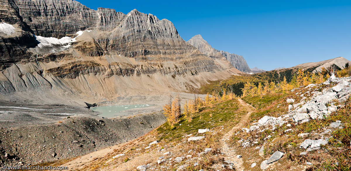
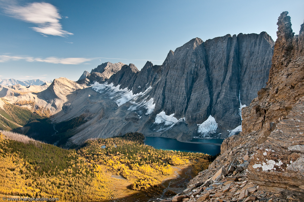
Tumbling Pass - Rockwall Trail
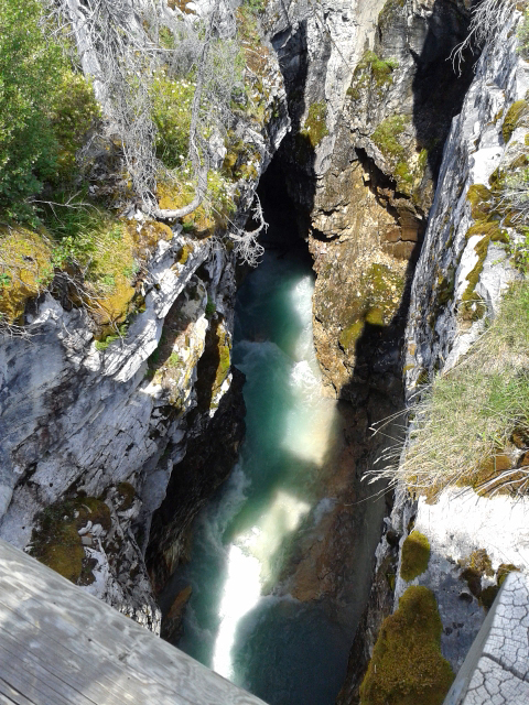
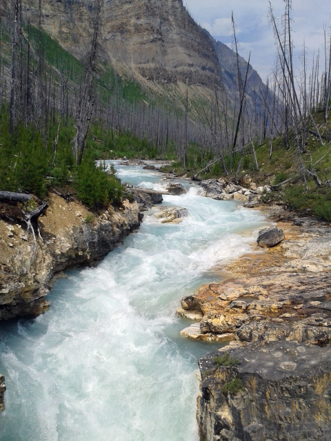
Paint Pots
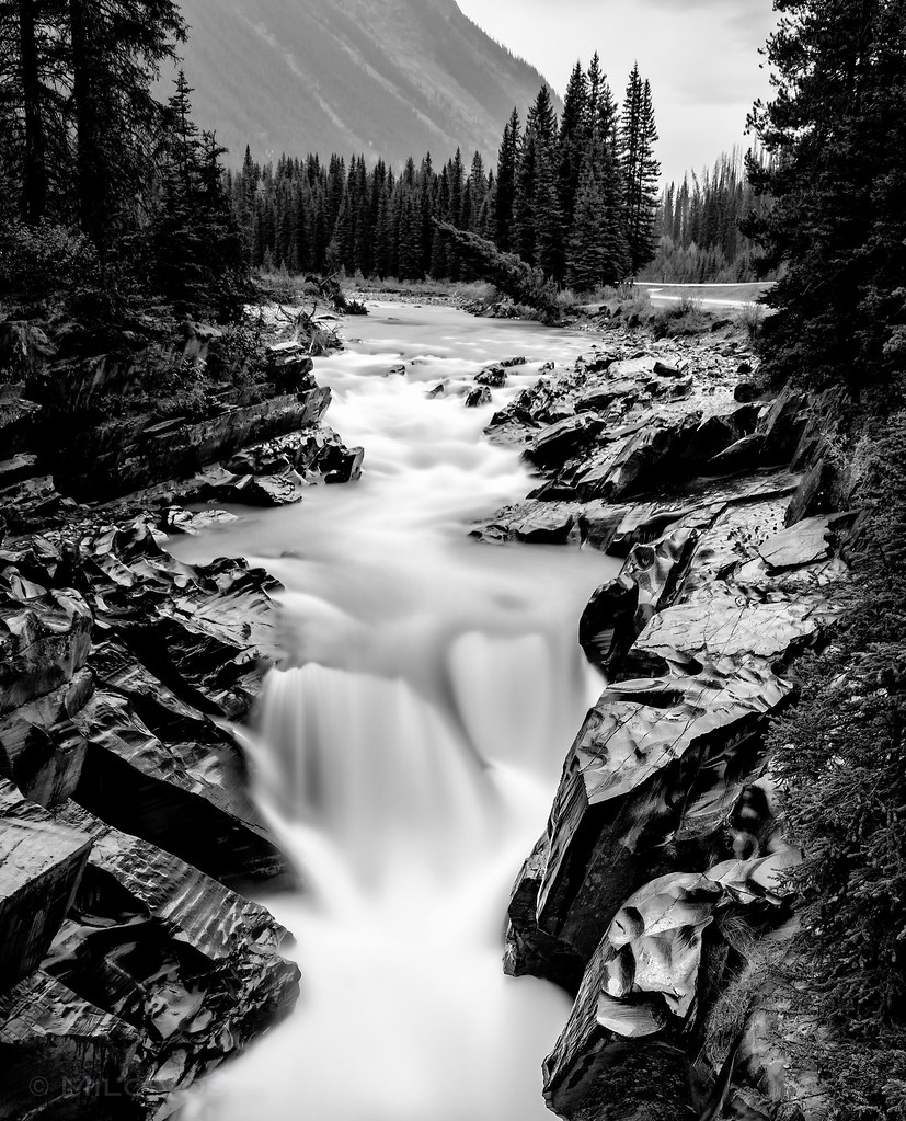
The Silent Tree Falling in the Forest.

Sergey, Caroline and Neil
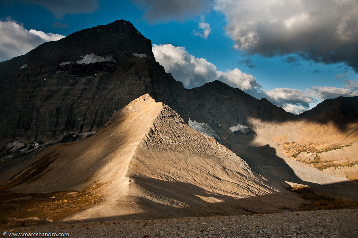
Follow the Ridge of Light

Autumn Sunrise on Floe Lake
Floe Lake From Foster Peak Slopes
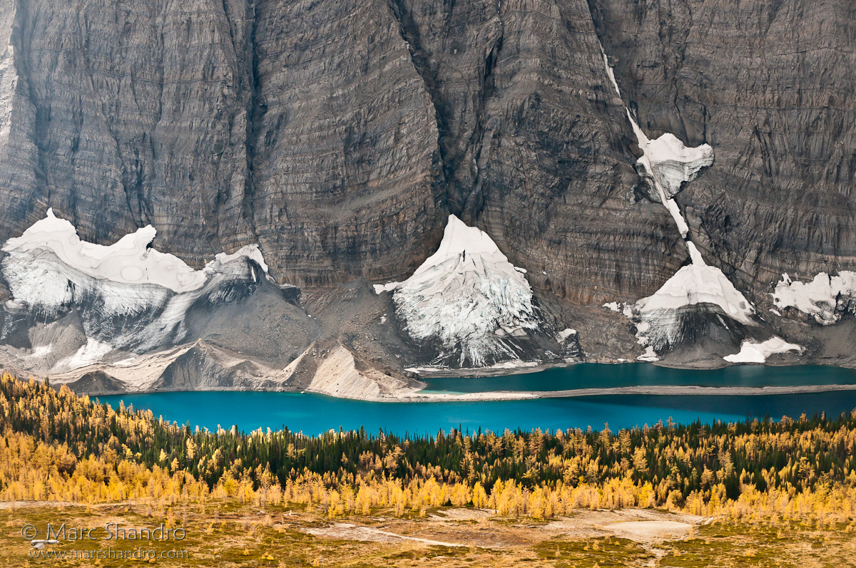
Floe Lake And Golden Larch Trees

High Lake Behind The Rockwall
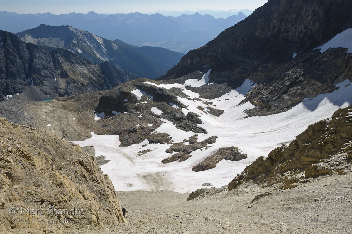
Exploring Near Mt. Gray and High Lake

Exploration Above High Lake

Logging Road Camp
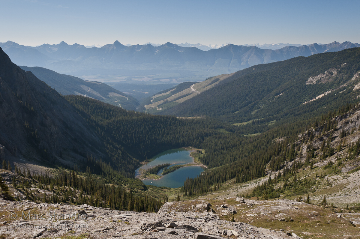
Dainard Lake

Alpine view
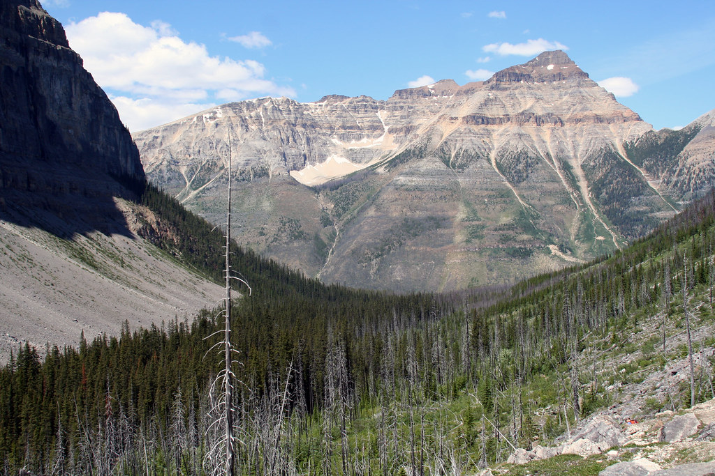
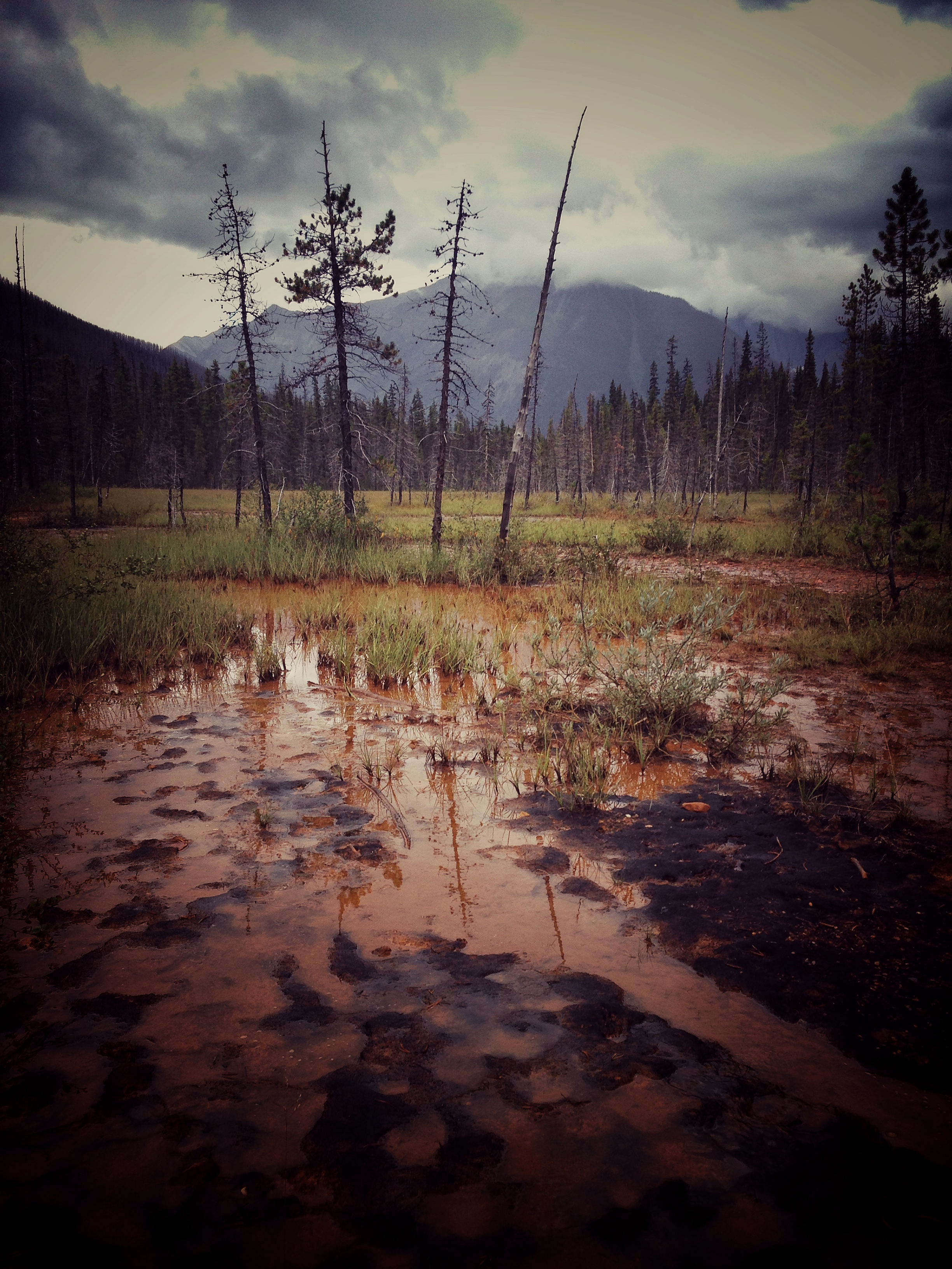
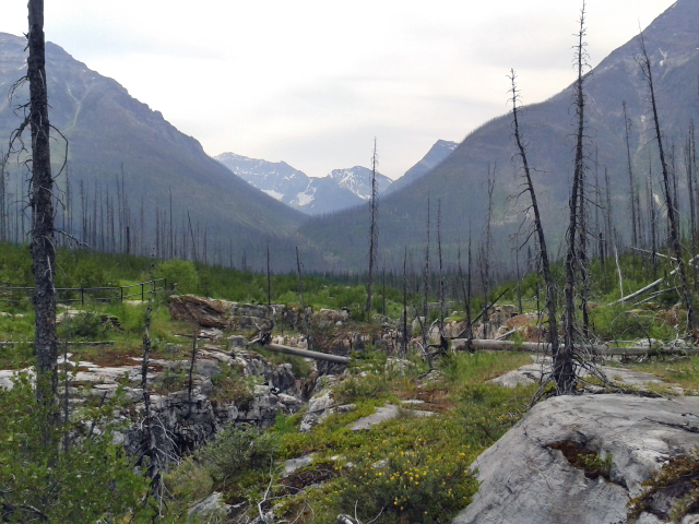
The view back down the burnt valley
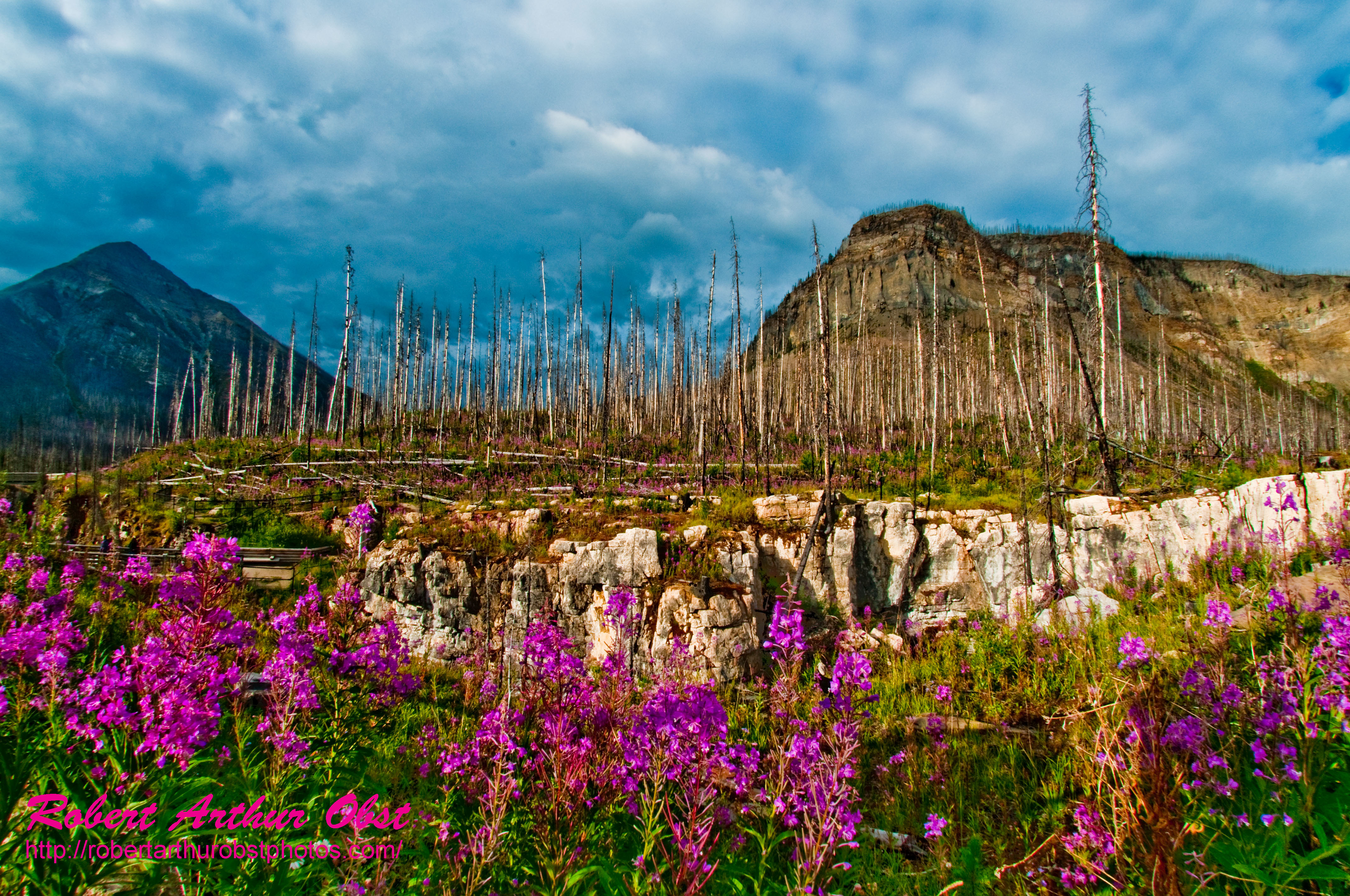
Fireweed Trail hiker's view of Fireweed also known as Great Willow-herb or Epilobium angustifolium growing near Tokumm Creek and Marble Canyon within Kootenay National Park (Canada BC Radium Hot Springs)
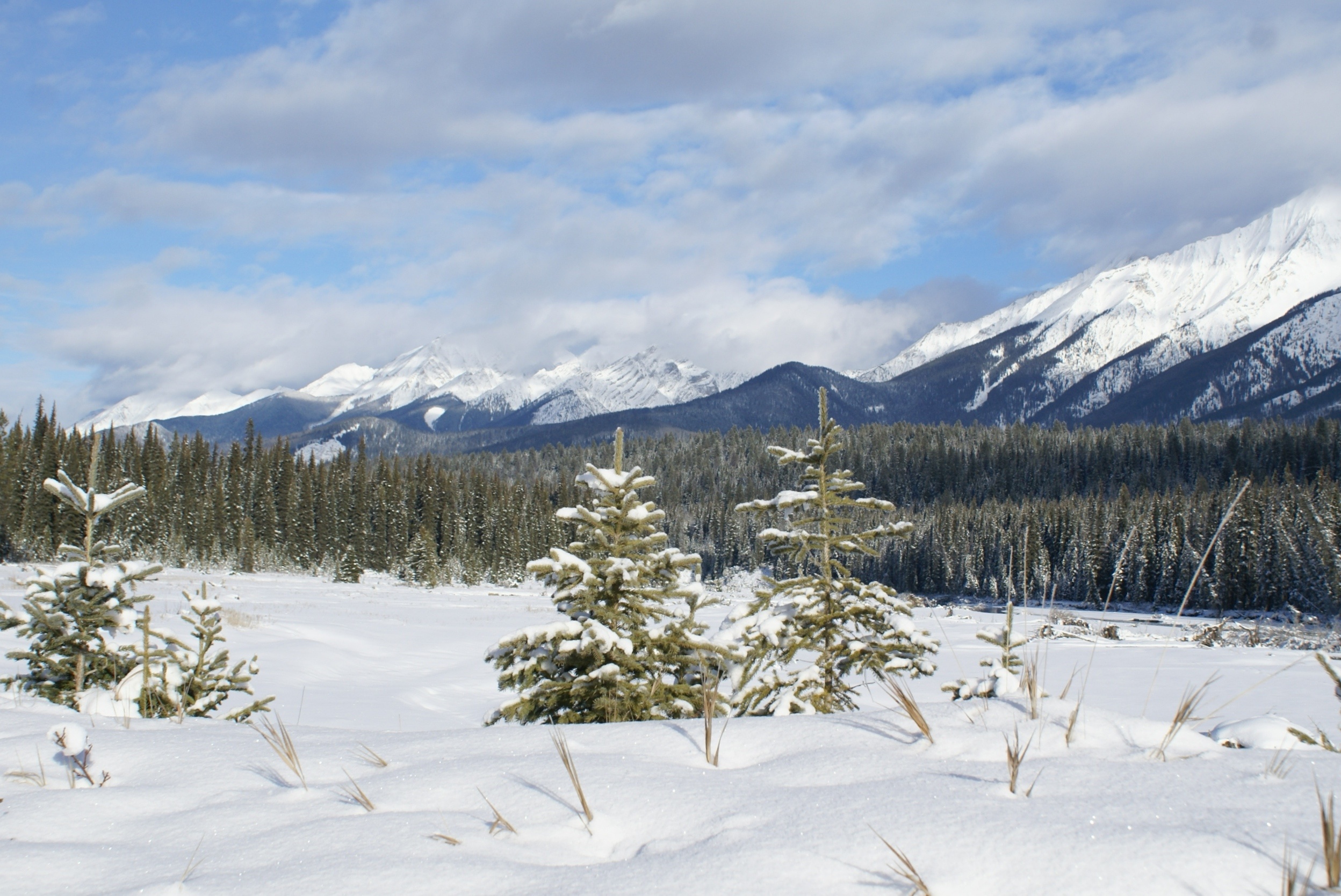
Alpine view

PhotoContest-TNC12_3057.W_NEFFF.LIM.ATO2010-CAN.BC.RHS.KootenayNPFlowers.MarbleCanyon-B
2014-07-14 12.07.46_edited-1
2014-07-14 12.18.46_edited-1
2014-07-14 12.23.16_edited-1
Tumbling Peak, East Kootenay G, BC V0A, Kanada Karte
Suchen Sie einen anderen Ort
Nahe Plätze
Rockwall Peak, East Kootenay G, BC V0A, Kanada
Drysdale NE4, East Kootenay G, BC V0A, Kanada
Limestone Peak, East Kootenay G, BC V0A, Kanada
Helmet Mountain, Columbia-Shuswap A, BC V0A, Kanada
Sharp Mountain, Columbia-Shuswap A, BC V0A, Kanada
Mount Oke, East Kootenay G, BC V0A, Kanada
Chimney S1, East Kootenay G, BC V0A, Kanada
Cedared Peak, Columbia-Shuswap A, BC V0A, Kanada
Sentry Peak, Columbia-Shuswap A, BC V0A, Kanada
Mount Whymper, East Kootenay G, BC V0A, Kanada
Zinc Mountain, Columbia-Shuswap A, BC V0A, Kanada
Stanley Glacier, East Kootenay G, BC V0A, Kanada
Chimney E1, Improvement District No. 9, AB T0L, Kanada
Mount Allen, East Kootenay G, BC V0A, Kanada
Stanley Peak, East Kootenay G, BC V0A, Kanada
Mount Goodsir, Columbia-Shuswap A, BC V0A, Kanada
Mount Tuzo, East Kootenay G, BC V0A, Kanada
Deltaform Mountain, East Kootenay G, V0A, Kanada
Quadra Mountain, East Kootenay G, BC V0A, Kanada
Bident Mountain, Improvement District No. 9, AB T0L, Kanada
Letzte Suche
- Red Dog Mine, AK, USA Sonnenaufgang Sonnenuntergang Zeiten
- Am Bahnhof, Am bhf, Borken, Germany Sonnenaufgang Sonnenuntergang Zeiten
- 4th St E, Sonoma, CA, USA Sonnenaufgang Sonnenuntergang Zeiten
- Oakland Ave, Williamsport, PA, USA Sonnenaufgang Sonnenuntergang Zeiten
- Via Roma, Pieranica CR, Italien Sonnenaufgang Sonnenuntergang Zeiten
- Glockenturm, Grad, Dubrovnik, Kroatien Sonnenaufgang Sonnenuntergang Zeiten
- Trelew, Chubut Province, Argentina Sonnenaufgang Sonnenuntergang Zeiten
- Hartfords Bluff Cir, Mt Pleasant, SC, USA Sonnenaufgang Sonnenuntergang Zeiten
- Kita-ku, Kumamoto, Präfektur Kumamoto, Japan Sonnenaufgang Sonnenuntergang Zeiten
- Pingtan Island, Pingtan County, Fuzhou, China Sonnenaufgang Sonnenuntergang Zeiten