Town Square St, St Matthews, SC, USA Sonnenaufgang Sonnenuntergang Zeiten
Location: USA > South Carolina > Calhoun County > Saint Matthews >
Zeitzone:
America/New_York
Ortszeit:
2025-07-05 06:18:12
Länge:
-80.6929039
Breite:
33.7394782
Sonnenaufgang Heute:
06:18:03 AM
Sonnenuntergang Heute:
08:36:58 PM
Tageslänge heute:
14h 18m 55s
Sonnenaufgang morgen:
06:18:33 AM
Sonnenuntergang Morgen:
08:36:48 PM
Tageslänge von morgen:
14h 18m 15s
Alle Termine anzeigen
| Datum | Sonnenaufgang | Sonnenuntergang | Tageslänge |
|---|---|---|---|
| 2025-01-01 | 07:27:42 AM | 05:26:04 PM | 9h 58m 22s |
| 2025-01-02 | 07:27:51 AM | 05:26:51 PM | 9h 59m 0s |
| 2025-01-03 | 07:27:58 AM | 05:27:38 PM | 9h 59m 40s |
| 2025-01-04 | 07:28:03 AM | 05:28:27 PM | 10h 0m 24s |
| 2025-01-05 | 07:28:06 AM | 05:29:16 PM | 10h 1m 10s |
| 2025-01-06 | 07:28:08 AM | 05:30:06 PM | 10h 1m 58s |
| 2025-01-07 | 07:28:07 AM | 05:30:58 PM | 10h 2m 51s |
| 2025-01-08 | 07:28:05 AM | 05:31:49 PM | 10h 3m 44s |
| 2025-01-09 | 07:28:01 AM | 05:32:42 PM | 10h 4m 41s |
| 2025-01-10 | 07:27:55 AM | 05:33:36 PM | 10h 5m 41s |
| 2025-01-11 | 07:27:47 AM | 05:34:30 PM | 10h 6m 43s |
| 2025-01-12 | 07:27:38 AM | 05:35:24 PM | 10h 7m 46s |
| 2025-01-13 | 07:27:26 AM | 05:36:19 PM | 10h 8m 53s |
| 2025-01-14 | 07:27:13 AM | 05:37:15 PM | 10h 10m 2s |
| 2025-01-15 | 07:26:58 AM | 05:38:11 PM | 10h 11m 13s |
| 2025-01-16 | 07:26:41 AM | 05:39:08 PM | 10h 12m 27s |
| 2025-01-17 | 07:26:22 AM | 05:40:05 PM | 10h 13m 43s |
| 2025-01-18 | 07:26:02 AM | 05:41:02 PM | 10h 15m 0s |
| 2025-01-19 | 07:25:39 AM | 05:42:00 PM | 10h 16m 21s |
| 2025-01-20 | 07:25:15 AM | 05:42:58 PM | 10h 17m 43s |
| 2025-01-21 | 07:24:49 AM | 05:43:56 PM | 10h 19m 7s |
| 2025-01-22 | 07:24:22 AM | 05:44:54 PM | 10h 20m 32s |
| 2025-01-23 | 07:23:53 AM | 05:45:53 PM | 10h 22m 0s |
| 2025-01-24 | 07:23:22 AM | 05:46:51 PM | 10h 23m 29s |
| 2025-01-25 | 07:22:49 AM | 05:47:50 PM | 10h 25m 1s |
| 2025-01-26 | 07:22:15 AM | 05:48:49 PM | 10h 26m 34s |
| 2025-01-27 | 07:21:39 AM | 05:49:48 PM | 10h 28m 9s |
| 2025-01-28 | 07:21:01 AM | 05:50:46 PM | 10h 29m 45s |
| 2025-01-29 | 07:20:22 AM | 05:51:45 PM | 10h 31m 23s |
| 2025-01-30 | 07:19:41 AM | 05:52:44 PM | 10h 33m 3s |
| 2025-01-31 | 07:18:59 AM | 05:53:42 PM | 10h 34m 43s |
| 2025-02-01 | 07:18:15 AM | 05:54:40 PM | 10h 36m 25s |
| 2025-02-02 | 07:17:30 AM | 05:55:39 PM | 10h 38m 9s |
| 2025-02-03 | 07:16:43 AM | 05:56:37 PM | 10h 39m 54s |
| 2025-02-04 | 07:15:55 AM | 05:57:35 PM | 10h 41m 40s |
| 2025-02-05 | 07:15:06 AM | 05:58:32 PM | 10h 43m 26s |
| 2025-02-06 | 07:14:15 AM | 05:59:30 PM | 10h 45m 15s |
| 2025-02-07 | 07:13:23 AM | 06:00:27 PM | 10h 47m 4s |
| 2025-02-08 | 07:12:29 AM | 06:01:24 PM | 10h 48m 55s |
| 2025-02-09 | 07:11:34 AM | 06:02:21 PM | 10h 50m 47s |
| 2025-02-10 | 07:10:38 AM | 06:03:17 PM | 10h 52m 39s |
| 2025-02-11 | 07:09:41 AM | 06:04:13 PM | 10h 54m 32s |
| 2025-02-12 | 07:08:42 AM | 06:05:09 PM | 10h 56m 27s |
| 2025-02-13 | 07:07:43 AM | 06:06:04 PM | 10h 58m 21s |
| 2025-02-14 | 07:06:42 AM | 06:07:00 PM | 11h 0m 18s |
| 2025-02-15 | 07:05:40 AM | 06:07:54 PM | 11h 2m 14s |
| 2025-02-16 | 07:04:37 AM | 06:08:49 PM | 11h 4m 12s |
| 2025-02-17 | 07:03:33 AM | 06:09:43 PM | 11h 6m 10s |
| 2025-02-18 | 07:02:28 AM | 06:10:37 PM | 11h 8m 9s |
| 2025-02-19 | 07:01:22 AM | 06:11:30 PM | 11h 10m 8s |
| 2025-02-20 | 07:00:15 AM | 06:12:23 PM | 11h 12m 8s |
| 2025-02-21 | 06:59:07 AM | 06:13:16 PM | 11h 14m 9s |
| 2025-02-22 | 06:57:58 AM | 06:14:09 PM | 11h 16m 11s |
| 2025-02-23 | 06:56:49 AM | 06:15:01 PM | 11h 18m 12s |
| 2025-02-24 | 06:55:38 AM | 06:15:52 PM | 11h 20m 14s |
| 2025-02-25 | 06:54:27 AM | 06:16:44 PM | 11h 22m 17s |
| 2025-02-26 | 06:53:15 AM | 06:17:35 PM | 11h 24m 20s |
| 2025-02-27 | 06:52:02 AM | 06:18:25 PM | 11h 26m 23s |
| 2025-02-28 | 06:50:49 AM | 06:19:16 PM | 11h 28m 27s |
| 2025-03-01 | 06:49:34 AM | 06:20:06 PM | 11h 30m 32s |
| 2025-03-02 | 06:48:20 AM | 06:20:56 PM | 11h 32m 36s |
| 2025-03-03 | 06:47:04 AM | 06:21:45 PM | 11h 34m 41s |
| 2025-03-04 | 06:45:48 AM | 06:22:34 PM | 11h 36m 46s |
| 2025-03-05 | 06:44:32 AM | 06:23:23 PM | 11h 38m 51s |
| 2025-03-06 | 06:43:15 AM | 06:24:11 PM | 11h 40m 56s |
| 2025-03-07 | 06:41:57 AM | 06:25:00 PM | 11h 43m 3s |
| 2025-03-08 | 06:40:39 AM | 06:25:48 PM | 11h 45m 9s |
| 2025-03-09 | 07:39:24 AM | 07:26:33 PM | 11h 47m 9s |
| 2025-03-10 | 07:38:06 AM | 07:27:21 PM | 11h 49m 15s |
| 2025-03-11 | 07:36:46 AM | 07:28:08 PM | 11h 51m 22s |
| 2025-03-12 | 07:35:27 AM | 07:28:55 PM | 11h 53m 28s |
| 2025-03-13 | 07:34:07 AM | 07:29:42 PM | 11h 55m 35s |
| 2025-03-14 | 07:32:47 AM | 07:30:28 PM | 11h 57m 41s |
| 2025-03-15 | 07:31:27 AM | 07:31:15 PM | 11h 59m 48s |
| 2025-03-16 | 07:30:06 AM | 07:32:01 PM | 12h 1m 55s |
| 2025-03-17 | 07:28:45 AM | 07:32:47 PM | 12h 4m 2s |
| 2025-03-18 | 07:27:25 AM | 07:33:32 PM | 12h 6m 7s |
| 2025-03-19 | 07:26:03 AM | 07:34:18 PM | 12h 8m 15s |
| 2025-03-20 | 07:24:42 AM | 07:35:04 PM | 12h 10m 22s |
| 2025-03-21 | 07:23:21 AM | 07:35:49 PM | 12h 12m 28s |
| 2025-03-22 | 07:22:00 AM | 07:36:34 PM | 12h 14m 34s |
| 2025-03-23 | 07:20:39 AM | 07:37:20 PM | 12h 16m 41s |
| 2025-03-24 | 07:19:17 AM | 07:38:05 PM | 12h 18m 48s |
| 2025-03-25 | 07:17:56 AM | 07:38:50 PM | 12h 20m 54s |
| 2025-03-26 | 07:16:35 AM | 07:39:35 PM | 12h 23m 0s |
| 2025-03-27 | 07:15:14 AM | 07:40:19 PM | 12h 25m 5s |
| 2025-03-28 | 07:13:53 AM | 07:41:04 PM | 12h 27m 11s |
| 2025-03-29 | 07:12:32 AM | 07:41:49 PM | 12h 29m 17s |
| 2025-03-30 | 07:11:12 AM | 07:42:34 PM | 12h 31m 22s |
| 2025-03-31 | 07:09:51 AM | 07:43:18 PM | 12h 33m 27s |
| 2025-04-01 | 07:08:31 AM | 07:44:03 PM | 12h 35m 32s |
| 2025-04-02 | 07:07:11 AM | 07:44:48 PM | 12h 37m 37s |
| 2025-04-03 | 07:05:52 AM | 07:45:33 PM | 12h 39m 41s |
| 2025-04-04 | 07:04:33 AM | 07:46:17 PM | 12h 41m 44s |
| 2025-04-05 | 07:03:14 AM | 07:47:02 PM | 12h 43m 48s |
| 2025-04-06 | 07:01:55 AM | 07:47:47 PM | 12h 45m 52s |
| 2025-04-07 | 07:00:37 AM | 07:48:32 PM | 12h 47m 55s |
| 2025-04-08 | 06:59:20 AM | 07:49:16 PM | 12h 49m 56s |
| 2025-04-09 | 06:58:03 AM | 07:50:01 PM | 12h 51m 58s |
| 2025-04-10 | 06:56:46 AM | 07:50:46 PM | 12h 54m 0s |
| 2025-04-11 | 06:55:30 AM | 07:51:31 PM | 12h 56m 1s |
| 2025-04-12 | 06:54:14 AM | 07:52:17 PM | 12h 58m 3s |
| 2025-04-13 | 06:52:59 AM | 07:53:02 PM | 13h 0m 3s |
| 2025-04-14 | 06:51:45 AM | 07:53:47 PM | 13h 2m 2s |
| 2025-04-15 | 06:50:31 AM | 07:54:32 PM | 13h 4m 1s |
| 2025-04-16 | 06:49:18 AM | 07:55:18 PM | 13h 6m 0s |
| 2025-04-17 | 06:48:06 AM | 07:56:03 PM | 13h 7m 57s |
| 2025-04-18 | 06:46:54 AM | 07:56:49 PM | 13h 9m 55s |
| 2025-04-19 | 06:45:44 AM | 07:57:34 PM | 13h 11m 50s |
| 2025-04-20 | 06:44:33 AM | 07:58:20 PM | 13h 13m 47s |
| 2025-04-21 | 06:43:24 AM | 07:59:06 PM | 13h 15m 42s |
| 2025-04-22 | 06:42:16 AM | 07:59:52 PM | 13h 17m 36s |
| 2025-04-23 | 06:41:08 AM | 08:00:38 PM | 13h 19m 30s |
| 2025-04-24 | 06:40:02 AM | 08:01:24 PM | 13h 21m 22s |
| 2025-04-25 | 06:38:56 AM | 08:02:10 PM | 13h 23m 14s |
| 2025-04-26 | 06:37:51 AM | 08:02:56 PM | 13h 25m 5s |
| 2025-04-27 | 06:36:47 AM | 08:03:42 PM | 13h 26m 55s |
| 2025-04-28 | 06:35:44 AM | 08:04:28 PM | 13h 28m 44s |
| 2025-04-29 | 06:34:43 AM | 08:05:14 PM | 13h 30m 31s |
| 2025-04-30 | 06:33:42 AM | 08:06:00 PM | 13h 32m 18s |
| 2025-05-01 | 06:32:42 AM | 08:06:46 PM | 13h 34m 4s |
| 2025-05-02 | 06:31:44 AM | 08:07:33 PM | 13h 35m 49s |
| 2025-05-03 | 06:30:46 AM | 08:08:19 PM | 13h 37m 33s |
| 2025-05-04 | 06:29:50 AM | 08:09:05 PM | 13h 39m 15s |
| 2025-05-05 | 06:28:55 AM | 08:09:51 PM | 13h 40m 56s |
| 2025-05-06 | 06:28:01 AM | 08:10:37 PM | 13h 42m 36s |
| 2025-05-07 | 06:27:09 AM | 08:11:23 PM | 13h 44m 14s |
| 2025-05-08 | 06:26:17 AM | 08:12:08 PM | 13h 45m 51s |
| 2025-05-09 | 06:25:27 AM | 08:12:54 PM | 13h 47m 27s |
| 2025-05-10 | 06:24:38 AM | 08:13:39 PM | 13h 49m 1s |
| 2025-05-11 | 06:23:51 AM | 08:14:25 PM | 13h 50m 34s |
| 2025-05-12 | 06:23:05 AM | 08:15:10 PM | 13h 52m 5s |
| 2025-05-13 | 06:22:20 AM | 08:15:55 PM | 13h 53m 35s |
| 2025-05-14 | 06:21:36 AM | 08:16:39 PM | 13h 55m 3s |
| 2025-05-15 | 06:20:54 AM | 08:17:24 PM | 13h 56m 30s |
| 2025-05-16 | 06:20:14 AM | 08:18:08 PM | 13h 57m 54s |
| 2025-05-17 | 06:19:35 AM | 08:18:51 PM | 13h 59m 16s |
| 2025-05-18 | 06:18:57 AM | 08:19:35 PM | 14h 0m 38s |
| 2025-05-19 | 06:18:21 AM | 08:20:18 PM | 14h 1m 57s |
| 2025-05-20 | 06:17:46 AM | 08:21:00 PM | 14h 3m 14s |
| 2025-05-21 | 06:17:13 AM | 08:21:43 PM | 14h 4m 30s |
| 2025-05-22 | 06:16:41 AM | 08:22:24 PM | 14h 5m 43s |
| 2025-05-23 | 06:16:11 AM | 08:23:05 PM | 14h 6m 54s |
| 2025-05-24 | 06:15:42 AM | 08:23:46 PM | 14h 8m 4s |
| 2025-05-25 | 06:15:15 AM | 08:24:26 PM | 14h 9m 11s |
| 2025-05-26 | 06:14:50 AM | 08:25:05 PM | 14h 10m 15s |
| 2025-05-27 | 06:14:26 AM | 08:25:44 PM | 14h 11m 18s |
| 2025-05-28 | 06:14:03 AM | 08:26:22 PM | 14h 12m 19s |
| 2025-05-29 | 06:13:42 AM | 08:27:00 PM | 14h 13m 18s |
| 2025-05-30 | 06:13:23 AM | 08:27:37 PM | 14h 14m 14s |
| 2025-05-31 | 06:13:05 AM | 08:28:12 PM | 14h 15m 7s |
| 2025-06-01 | 06:12:49 AM | 08:28:48 PM | 14h 15m 59s |
| 2025-06-02 | 06:12:35 AM | 08:29:22 PM | 14h 16m 47s |
| 2025-06-03 | 06:12:22 AM | 08:29:55 PM | 14h 17m 33s |
| 2025-06-04 | 06:12:11 AM | 08:30:28 PM | 14h 18m 17s |
| 2025-06-05 | 06:12:01 AM | 08:30:59 PM | 14h 18m 58s |
| 2025-06-06 | 06:11:53 AM | 08:31:30 PM | 14h 19m 37s |
| 2025-06-07 | 06:11:46 AM | 08:31:59 PM | 14h 20m 13s |
| 2025-06-08 | 06:11:41 AM | 08:32:28 PM | 14h 20m 47s |
| 2025-06-09 | 06:11:38 AM | 08:32:55 PM | 14h 21m 17s |
| 2025-06-10 | 06:11:36 AM | 08:33:21 PM | 14h 21m 45s |
| 2025-06-11 | 06:11:36 AM | 08:33:46 PM | 14h 22m 10s |
| 2025-06-12 | 06:11:37 AM | 08:34:10 PM | 14h 22m 33s |
| 2025-06-13 | 06:11:39 AM | 08:34:33 PM | 14h 22m 54s |
| 2025-06-14 | 06:11:44 AM | 08:34:54 PM | 14h 23m 10s |
| 2025-06-15 | 06:11:49 AM | 08:35:14 PM | 14h 23m 25s |
| 2025-06-16 | 06:11:56 AM | 08:35:33 PM | 14h 23m 37s |
| 2025-06-17 | 06:12:05 AM | 08:35:51 PM | 14h 23m 46s |
| 2025-06-18 | 06:12:15 AM | 08:36:07 PM | 14h 23m 52s |
| 2025-06-19 | 06:12:26 AM | 08:36:22 PM | 14h 23m 56s |
| 2025-06-20 | 06:12:39 AM | 08:36:35 PM | 14h 23m 56s |
| 2025-06-21 | 06:12:53 AM | 08:36:47 PM | 14h 23m 54s |
| 2025-06-22 | 06:13:09 AM | 08:36:57 PM | 14h 23m 48s |
| 2025-06-23 | 06:13:26 AM | 08:37:06 PM | 14h 23m 40s |
| 2025-06-24 | 06:13:44 AM | 08:37:14 PM | 14h 23m 30s |
| 2025-06-25 | 06:14:03 AM | 08:37:20 PM | 14h 23m 17s |
| 2025-06-26 | 06:14:23 AM | 08:37:24 PM | 14h 23m 1s |
| 2025-06-27 | 06:14:45 AM | 08:37:27 PM | 14h 22m 42s |
| 2025-06-28 | 06:15:08 AM | 08:37:29 PM | 14h 22m 21s |
| 2025-06-29 | 06:15:32 AM | 08:37:28 PM | 14h 21m 56s |
| 2025-06-30 | 06:15:57 AM | 08:37:27 PM | 14h 21m 30s |
| 2025-07-01 | 06:16:23 AM | 08:37:23 PM | 14h 21m 0s |
| 2025-07-02 | 06:16:50 AM | 08:37:18 PM | 14h 20m 28s |
| 2025-07-03 | 06:17:18 AM | 08:37:11 PM | 14h 19m 53s |
| 2025-07-04 | 06:17:48 AM | 08:37:03 PM | 14h 19m 15s |
| 2025-07-05 | 06:18:18 AM | 08:36:53 PM | 14h 18m 35s |
| 2025-07-06 | 06:18:49 AM | 08:36:42 PM | 14h 17m 53s |
| 2025-07-07 | 06:19:20 AM | 08:36:29 PM | 14h 17m 9s |
| 2025-07-08 | 06:19:53 AM | 08:36:14 PM | 14h 16m 21s |
| 2025-07-09 | 06:20:26 AM | 08:35:58 PM | 14h 15m 32s |
| 2025-07-10 | 06:21:01 AM | 08:35:40 PM | 14h 14m 39s |
| 2025-07-11 | 06:21:35 AM | 08:35:20 PM | 14h 13m 45s |
| 2025-07-12 | 06:22:11 AM | 08:34:59 PM | 14h 12m 48s |
| 2025-07-13 | 06:22:47 AM | 08:34:36 PM | 14h 11m 49s |
| 2025-07-14 | 06:23:24 AM | 08:34:11 PM | 14h 10m 47s |
| 2025-07-15 | 06:24:01 AM | 08:33:45 PM | 14h 9m 44s |
| 2025-07-16 | 06:24:39 AM | 08:33:17 PM | 14h 8m 38s |
| 2025-07-17 | 06:25:18 AM | 08:32:48 PM | 14h 7m 30s |
| 2025-07-18 | 06:25:57 AM | 08:32:17 PM | 14h 6m 20s |
| 2025-07-19 | 06:26:36 AM | 08:31:45 PM | 14h 5m 9s |
| 2025-07-20 | 06:27:16 AM | 08:31:11 PM | 14h 3m 55s |
| 2025-07-21 | 06:27:56 AM | 08:30:35 PM | 14h 2m 39s |
| 2025-07-22 | 06:28:37 AM | 08:29:58 PM | 14h 1m 21s |
| 2025-07-23 | 06:29:18 AM | 08:29:20 PM | 14h 0m 2s |
| 2025-07-24 | 06:29:59 AM | 08:28:40 PM | 13h 58m 41s |
| 2025-07-25 | 06:30:41 AM | 08:27:59 PM | 13h 57m 18s |
| 2025-07-26 | 06:31:22 AM | 08:27:16 PM | 13h 55m 54s |
| 2025-07-27 | 06:32:04 AM | 08:26:31 PM | 13h 54m 27s |
| 2025-07-28 | 06:32:46 AM | 08:25:46 PM | 13h 53m 0s |
| 2025-07-29 | 06:33:29 AM | 08:24:58 PM | 13h 51m 29s |
| 2025-07-30 | 06:34:11 AM | 08:24:10 PM | 13h 49m 59s |
| 2025-07-31 | 06:34:54 AM | 08:23:20 PM | 13h 48m 26s |
| 2025-08-01 | 06:35:36 AM | 08:22:29 PM | 13h 46m 53s |
| 2025-08-02 | 06:36:19 AM | 08:21:37 PM | 13h 45m 18s |
| 2025-08-03 | 06:37:02 AM | 08:20:43 PM | 13h 43m 41s |
| 2025-08-04 | 06:37:45 AM | 08:19:48 PM | 13h 42m 3s |
| 2025-08-05 | 06:38:28 AM | 08:18:52 PM | 13h 40m 24s |
| 2025-08-06 | 06:39:11 AM | 08:17:54 PM | 13h 38m 43s |
| 2025-08-07 | 06:39:54 AM | 08:16:56 PM | 13h 37m 2s |
| 2025-08-08 | 06:40:37 AM | 08:15:56 PM | 13h 35m 19s |
| 2025-08-09 | 06:41:20 AM | 08:14:55 PM | 13h 33m 35s |
| 2025-08-10 | 06:42:03 AM | 08:13:53 PM | 13h 31m 50s |
| 2025-08-11 | 06:42:46 AM | 08:12:50 PM | 13h 30m 4s |
| 2025-08-12 | 06:43:28 AM | 08:11:46 PM | 13h 28m 18s |
| 2025-08-13 | 06:44:11 AM | 08:10:41 PM | 13h 26m 30s |
| 2025-08-14 | 06:44:54 AM | 08:09:34 PM | 13h 24m 40s |
| 2025-08-15 | 06:45:36 AM | 08:08:27 PM | 13h 22m 51s |
| 2025-08-16 | 06:46:19 AM | 08:07:19 PM | 13h 21m 0s |
| 2025-08-17 | 06:47:01 AM | 08:06:10 PM | 13h 19m 9s |
| 2025-08-18 | 06:47:43 AM | 08:05:00 PM | 13h 17m 17s |
| 2025-08-19 | 06:48:26 AM | 08:03:50 PM | 13h 15m 24s |
| 2025-08-20 | 06:49:08 AM | 08:02:38 PM | 13h 13m 30s |
| 2025-08-21 | 06:49:50 AM | 08:01:26 PM | 13h 11m 36s |
| 2025-08-22 | 06:50:31 AM | 08:00:13 PM | 13h 9m 42s |
| 2025-08-23 | 06:51:13 AM | 07:58:59 PM | 13h 7m 46s |
| 2025-08-24 | 06:51:55 AM | 07:57:44 PM | 13h 5m 49s |
| 2025-08-25 | 06:52:36 AM | 07:56:29 PM | 13h 3m 53s |
| 2025-08-26 | 06:53:18 AM | 07:55:13 PM | 13h 1m 55s |
| 2025-08-27 | 06:53:59 AM | 07:53:56 PM | 12h 59m 57s |
| 2025-08-28 | 06:54:40 AM | 07:52:39 PM | 12h 57m 59s |
| 2025-08-29 | 06:55:21 AM | 07:51:21 PM | 12h 56m 0s |
| 2025-08-30 | 06:56:02 AM | 07:50:03 PM | 12h 54m 1s |
| 2025-08-31 | 06:56:43 AM | 07:48:44 PM | 12h 52m 1s |
| 2025-09-01 | 06:57:24 AM | 07:47:24 PM | 12h 50m 0s |
| 2025-09-02 | 06:58:05 AM | 07:46:04 PM | 12h 47m 59s |
| 2025-09-03 | 06:58:46 AM | 07:44:44 PM | 12h 45m 58s |
| 2025-09-04 | 06:59:26 AM | 07:43:23 PM | 12h 43m 57s |
| 2025-09-05 | 07:00:07 AM | 07:42:02 PM | 12h 41m 55s |
| 2025-09-06 | 07:00:47 AM | 07:40:41 PM | 12h 39m 54s |
| 2025-09-07 | 07:01:28 AM | 07:39:19 PM | 12h 37m 51s |
| 2025-09-08 | 07:02:08 AM | 07:37:57 PM | 12h 35m 49s |
| 2025-09-09 | 07:02:49 AM | 07:36:34 PM | 12h 33m 45s |
| 2025-09-10 | 07:03:29 AM | 07:35:12 PM | 12h 31m 43s |
| 2025-09-11 | 07:04:10 AM | 07:33:49 PM | 12h 29m 39s |
| 2025-09-12 | 07:04:50 AM | 07:32:26 PM | 12h 27m 36s |
| 2025-09-13 | 07:05:31 AM | 07:31:02 PM | 12h 25m 31s |
| 2025-09-14 | 07:06:11 AM | 07:29:39 PM | 12h 23m 28s |
| 2025-09-15 | 07:06:52 AM | 07:28:15 PM | 12h 21m 23s |
| 2025-09-16 | 07:07:33 AM | 07:26:52 PM | 12h 19m 19s |
| 2025-09-17 | 07:08:13 AM | 07:25:28 PM | 12h 17m 15s |
| 2025-09-18 | 07:08:54 AM | 07:24:05 PM | 12h 15m 11s |
| 2025-09-19 | 07:09:35 AM | 07:22:41 PM | 12h 13m 6s |
| 2025-09-20 | 07:10:16 AM | 07:21:17 PM | 12h 11m 1s |
| 2025-09-21 | 07:10:57 AM | 07:19:54 PM | 12h 8m 57s |
| 2025-09-22 | 07:11:39 AM | 07:18:30 PM | 12h 6m 51s |
| 2025-09-23 | 07:12:20 AM | 07:17:07 PM | 12h 4m 47s |
| 2025-09-24 | 07:13:02 AM | 07:15:44 PM | 12h 2m 42s |
| 2025-09-25 | 07:13:43 AM | 07:14:21 PM | 12h 0m 38s |
| 2025-09-26 | 07:14:25 AM | 07:12:58 PM | 11h 58m 33s |
| 2025-09-27 | 07:15:08 AM | 07:11:35 PM | 11h 56m 27s |
| 2025-09-28 | 07:15:50 AM | 07:10:13 PM | 11h 54m 23s |
| 2025-09-29 | 07:16:32 AM | 07:08:51 PM | 11h 52m 19s |
| 2025-09-30 | 07:17:15 AM | 07:07:29 PM | 11h 50m 14s |
| 2025-10-01 | 07:17:58 AM | 07:06:08 PM | 11h 48m 10s |
| 2025-10-02 | 07:18:42 AM | 07:04:47 PM | 11h 46m 5s |
| 2025-10-03 | 07:19:25 AM | 07:03:27 PM | 11h 44m 2s |
| 2025-10-04 | 07:20:09 AM | 07:02:06 PM | 11h 41m 57s |
| 2025-10-05 | 07:20:53 AM | 07:00:47 PM | 11h 39m 54s |
| 2025-10-06 | 07:21:38 AM | 06:59:28 PM | 11h 37m 50s |
| 2025-10-07 | 07:22:22 AM | 06:58:09 PM | 11h 35m 47s |
| 2025-10-08 | 07:23:07 AM | 06:56:51 PM | 11h 33m 44s |
| 2025-10-09 | 07:23:53 AM | 06:55:34 PM | 11h 31m 41s |
| 2025-10-10 | 07:24:38 AM | 06:54:17 PM | 11h 29m 39s |
| 2025-10-11 | 07:25:24 AM | 06:53:00 PM | 11h 27m 36s |
| 2025-10-12 | 07:26:11 AM | 06:51:45 PM | 11h 25m 34s |
| 2025-10-13 | 07:26:57 AM | 06:50:30 PM | 11h 23m 33s |
| 2025-10-14 | 07:27:44 AM | 06:49:16 PM | 11h 21m 32s |
| 2025-10-15 | 07:28:32 AM | 06:48:03 PM | 11h 19m 31s |
| 2025-10-16 | 07:29:20 AM | 06:46:50 PM | 11h 17m 30s |
| 2025-10-17 | 07:30:08 AM | 06:45:39 PM | 11h 15m 31s |
| 2025-10-18 | 07:30:56 AM | 06:44:28 PM | 11h 13m 32s |
| 2025-10-19 | 07:31:45 AM | 06:43:18 PM | 11h 11m 33s |
| 2025-10-20 | 07:32:35 AM | 06:42:09 PM | 11h 9m 34s |
| 2025-10-21 | 07:33:24 AM | 06:41:01 PM | 11h 7m 37s |
| 2025-10-22 | 07:34:14 AM | 06:39:54 PM | 11h 5m 40s |
| 2025-10-23 | 07:35:05 AM | 06:38:48 PM | 11h 3m 43s |
| 2025-10-24 | 07:35:56 AM | 06:37:43 PM | 11h 1m 47s |
| 2025-10-25 | 07:36:47 AM | 06:36:39 PM | 10h 59m 52s |
| 2025-10-26 | 07:37:38 AM | 06:35:36 PM | 10h 57m 58s |
| 2025-10-27 | 07:38:30 AM | 06:34:34 PM | 10h 56m 4s |
| 2025-10-28 | 07:39:22 AM | 06:33:34 PM | 10h 54m 12s |
| 2025-10-29 | 07:40:15 AM | 06:32:35 PM | 10h 52m 20s |
| 2025-10-30 | 07:41:08 AM | 06:31:37 PM | 10h 50m 29s |
| 2025-10-31 | 07:42:01 AM | 06:30:40 PM | 10h 48m 39s |
| 2025-11-01 | 07:42:55 AM | 06:29:44 PM | 10h 46m 49s |
| 2025-11-02 | 06:43:51 AM | 05:28:48 PM | 10h 44m 57s |
| 2025-11-03 | 06:44:45 AM | 05:27:55 PM | 10h 43m 10s |
| 2025-11-04 | 06:45:39 AM | 05:27:04 PM | 10h 41m 25s |
| 2025-11-05 | 06:46:34 AM | 05:26:14 PM | 10h 39m 40s |
| 2025-11-06 | 06:47:29 AM | 05:25:25 PM | 10h 37m 56s |
| 2025-11-07 | 06:48:24 AM | 05:24:38 PM | 10h 36m 14s |
| 2025-11-08 | 06:49:19 AM | 05:23:52 PM | 10h 34m 33s |
| 2025-11-09 | 06:50:15 AM | 05:23:08 PM | 10h 32m 53s |
| 2025-11-10 | 06:51:11 AM | 05:22:26 PM | 10h 31m 15s |
| 2025-11-11 | 06:52:06 AM | 05:21:45 PM | 10h 29m 39s |
| 2025-11-12 | 06:53:02 AM | 05:21:05 PM | 10h 28m 3s |
| 2025-11-13 | 06:53:58 AM | 05:20:28 PM | 10h 26m 30s |
| 2025-11-14 | 06:54:54 AM | 05:19:52 PM | 10h 24m 58s |
| 2025-11-15 | 06:55:50 AM | 05:19:17 PM | 10h 23m 27s |
| 2025-11-16 | 06:56:46 AM | 05:18:44 PM | 10h 21m 58s |
| 2025-11-17 | 06:57:42 AM | 05:18:13 PM | 10h 20m 31s |
| 2025-11-18 | 06:58:38 AM | 05:17:44 PM | 10h 19m 6s |
| 2025-11-19 | 06:59:34 AM | 05:17:17 PM | 10h 17m 43s |
| 2025-11-20 | 07:00:29 AM | 05:16:51 PM | 10h 16m 22s |
| 2025-11-21 | 07:01:25 AM | 05:16:27 PM | 10h 15m 2s |
| 2025-11-22 | 07:02:20 AM | 05:16:05 PM | 10h 13m 45s |
| 2025-11-23 | 07:03:15 AM | 05:15:44 PM | 10h 12m 29s |
| 2025-11-24 | 07:04:09 AM | 05:15:26 PM | 10h 11m 17s |
| 2025-11-25 | 07:05:04 AM | 05:15:09 PM | 10h 10m 5s |
| 2025-11-26 | 07:05:58 AM | 05:14:54 PM | 10h 8m 56s |
| 2025-11-27 | 07:06:51 AM | 05:14:41 PM | 10h 7m 50s |
| 2025-11-28 | 07:07:44 AM | 05:14:30 PM | 10h 6m 46s |
| 2025-11-29 | 07:08:36 AM | 05:14:21 PM | 10h 5m 45s |
| 2025-11-30 | 07:09:28 AM | 05:14:14 PM | 10h 4m 46s |
| 2025-12-01 | 07:10:19 AM | 05:14:08 PM | 10h 3m 49s |
| 2025-12-02 | 07:11:10 AM | 05:14:05 PM | 10h 2m 55s |
| 2025-12-03 | 07:12:00 AM | 05:14:03 PM | 10h 2m 3s |
| 2025-12-04 | 07:12:49 AM | 05:14:03 PM | 10h 1m 14s |
| 2025-12-05 | 07:13:37 AM | 05:14:06 PM | 10h 0m 29s |
| 2025-12-06 | 07:14:25 AM | 05:14:10 PM | 9h 59m 45s |
| 2025-12-07 | 07:15:11 AM | 05:14:15 PM | 9h 59m 4s |
| 2025-12-08 | 07:15:57 AM | 05:14:23 PM | 9h 58m 26s |
| 2025-12-09 | 07:16:41 AM | 05:14:33 PM | 9h 57m 52s |
| 2025-12-10 | 07:17:25 AM | 05:14:44 PM | 9h 57m 19s |
| 2025-12-11 | 07:18:08 AM | 05:14:58 PM | 9h 56m 50s |
| 2025-12-12 | 07:18:49 AM | 05:15:13 PM | 9h 56m 24s |
| 2025-12-13 | 07:19:29 AM | 05:15:30 PM | 9h 56m 1s |
| 2025-12-14 | 07:20:08 AM | 05:15:48 PM | 9h 55m 40s |
| 2025-12-15 | 07:20:46 AM | 05:16:09 PM | 9h 55m 23s |
| 2025-12-16 | 07:21:22 AM | 05:16:31 PM | 9h 55m 9s |
| 2025-12-17 | 07:21:57 AM | 05:16:55 PM | 9h 54m 58s |
| 2025-12-18 | 07:22:31 AM | 05:17:20 PM | 9h 54m 49s |
| 2025-12-19 | 07:23:03 AM | 05:17:47 PM | 9h 54m 44s |
| 2025-12-20 | 07:23:34 AM | 05:18:16 PM | 9h 54m 42s |
| 2025-12-21 | 07:24:04 AM | 05:18:46 PM | 9h 54m 42s |
| 2025-12-22 | 07:24:31 AM | 05:19:18 PM | 9h 54m 47s |
| 2025-12-23 | 07:24:58 AM | 05:19:51 PM | 9h 54m 53s |
| 2025-12-24 | 07:25:22 AM | 05:20:26 PM | 9h 55m 4s |
| 2025-12-25 | 07:25:45 AM | 05:21:03 PM | 9h 55m 18s |
| 2025-12-26 | 07:26:07 AM | 05:21:40 PM | 9h 55m 33s |
| 2025-12-27 | 07:26:27 AM | 05:22:19 PM | 9h 55m 52s |
| 2025-12-28 | 07:26:45 AM | 05:23:00 PM | 9h 56m 15s |
| 2025-12-29 | 07:27:01 AM | 05:23:41 PM | 9h 56m 40s |
| 2025-12-30 | 07:27:16 AM | 05:24:24 PM | 9h 57m 8s |
| 2025-12-31 | 07:27:28 AM | 05:25:08 PM | 9h 57m 40s |
Fotos
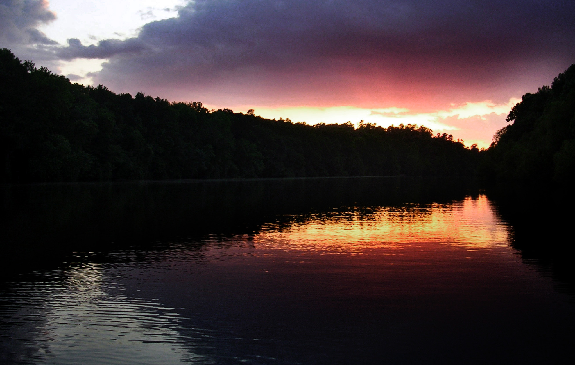
Santee Sunset

Sparkleberry Swamp with LCU-160
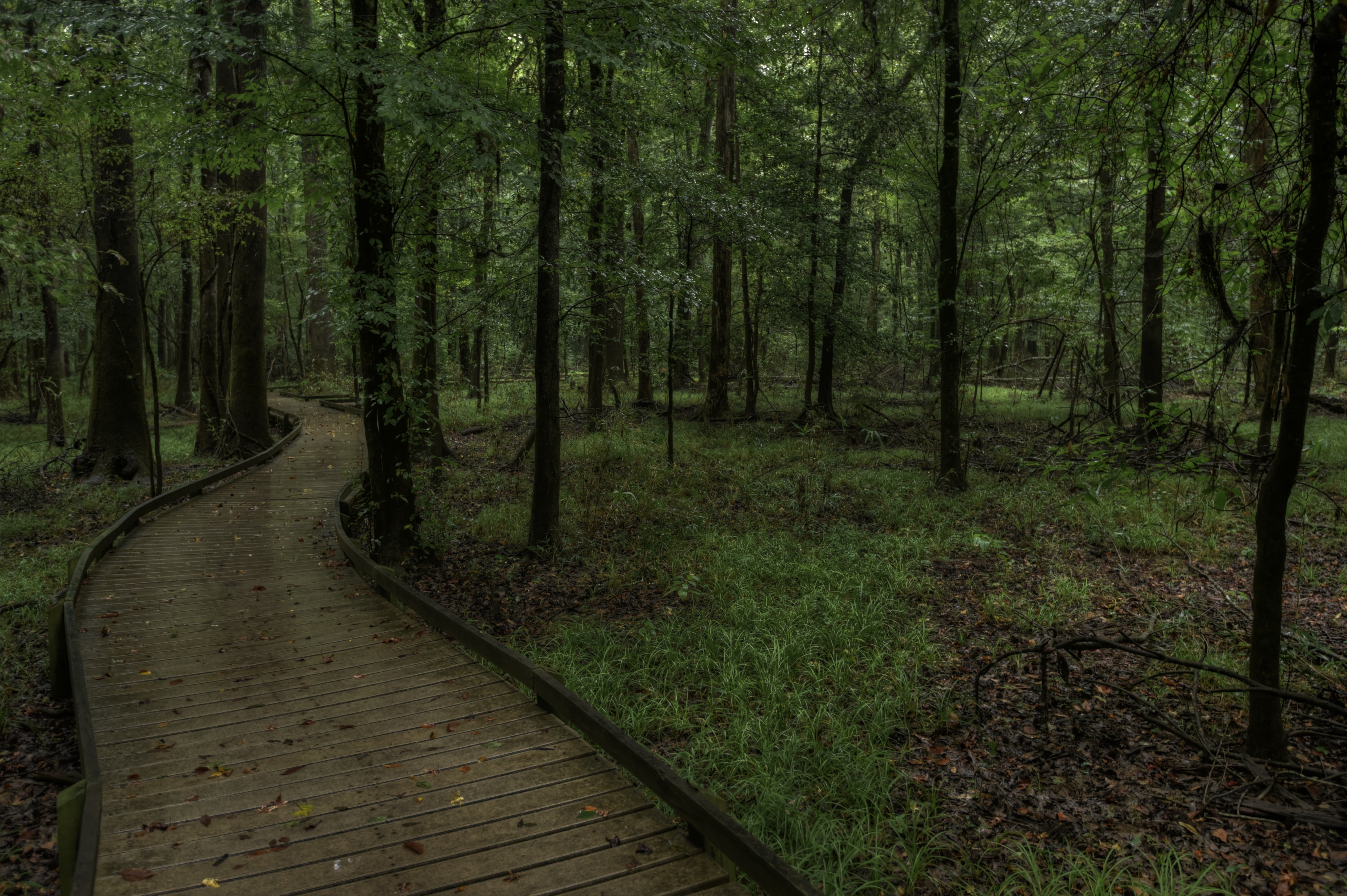
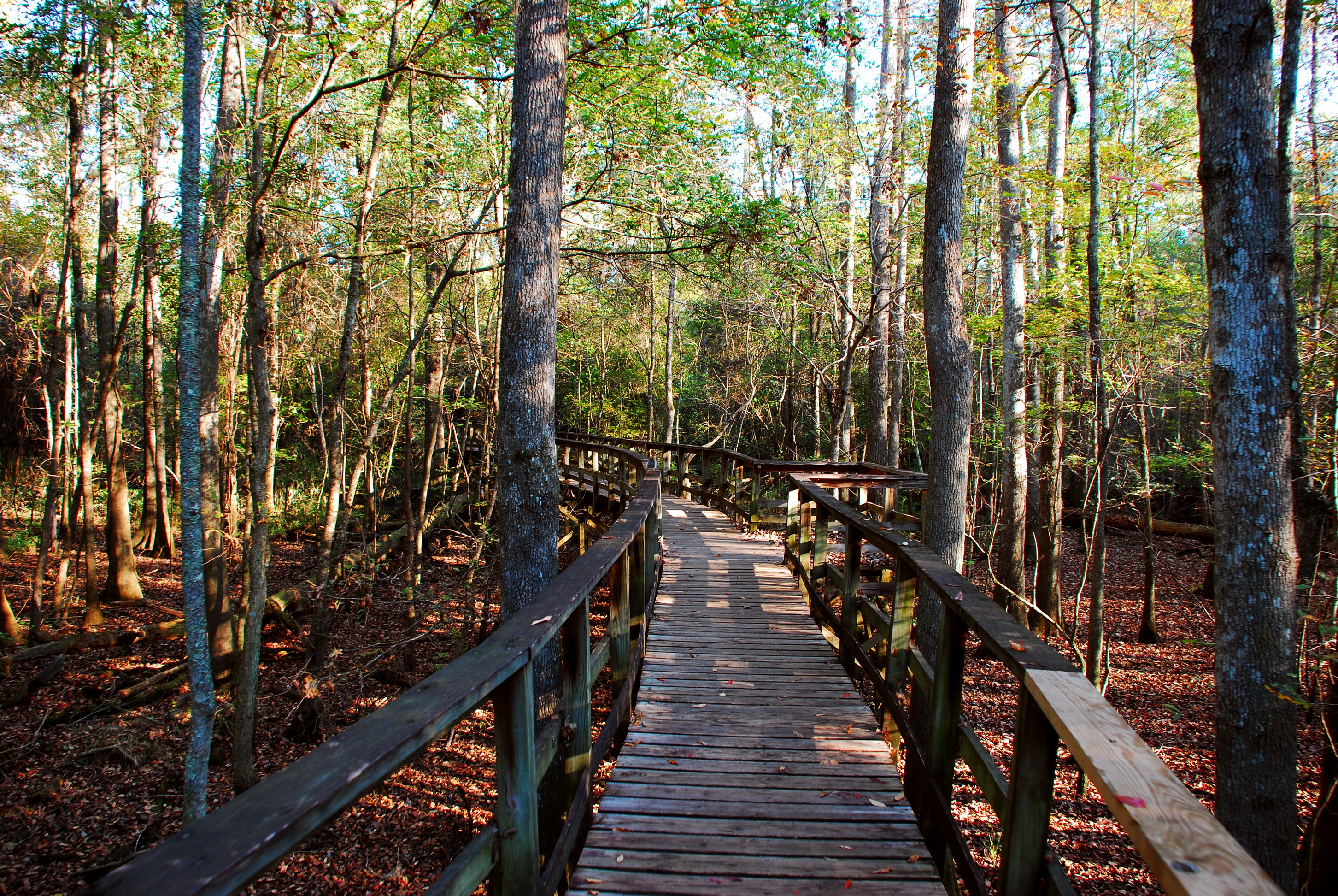
Boardwalk Trail, Congaree National Park HDR

SCE&G Wateree Station
TrackHead Studios - South Carolina

Congaree National Park 3
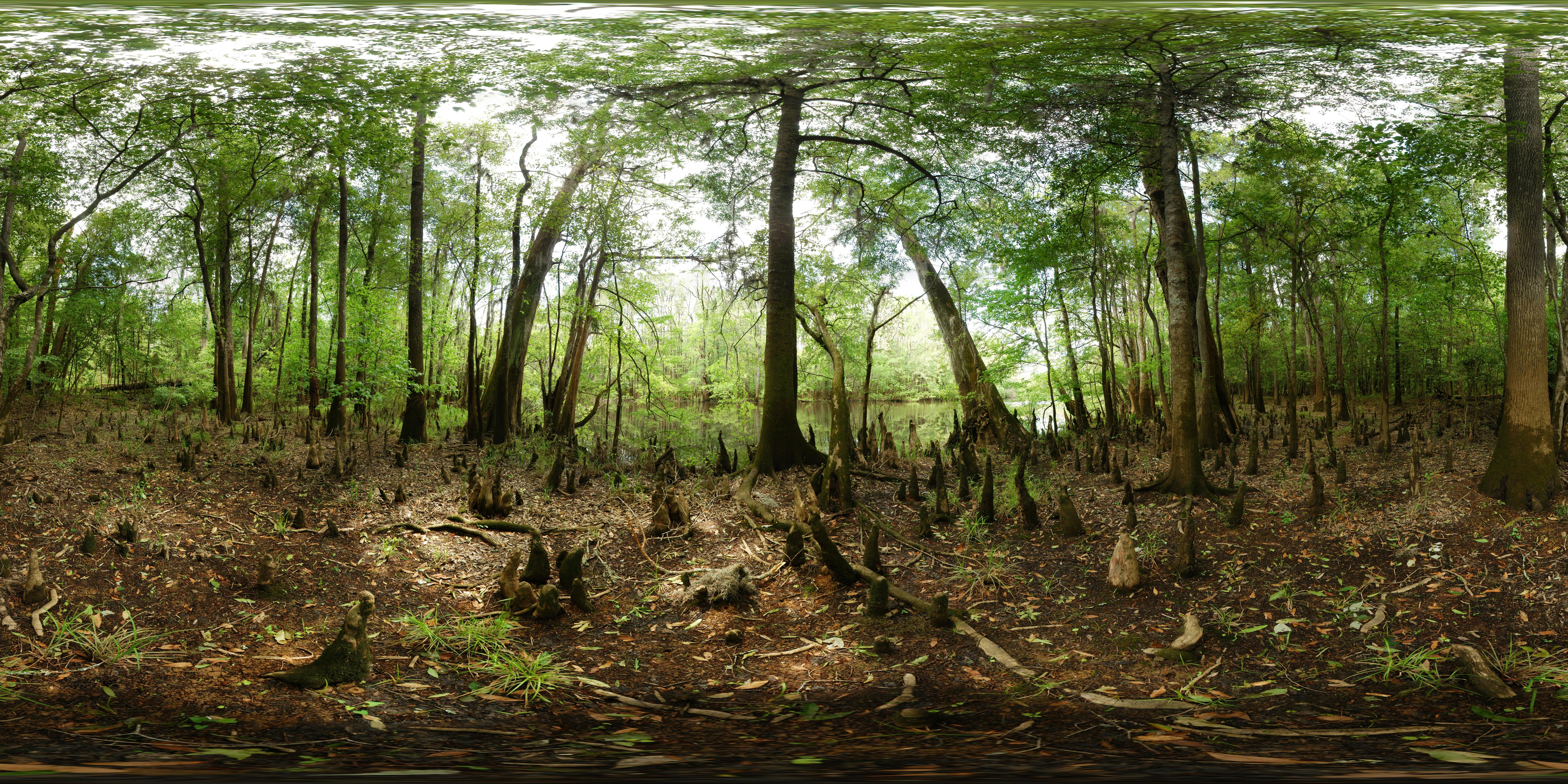
Congaree National Park - Weston lake - Full sphere (360° x 180°) panorama
Congaree National Park 2
At the education center
MVC-013F.JPG
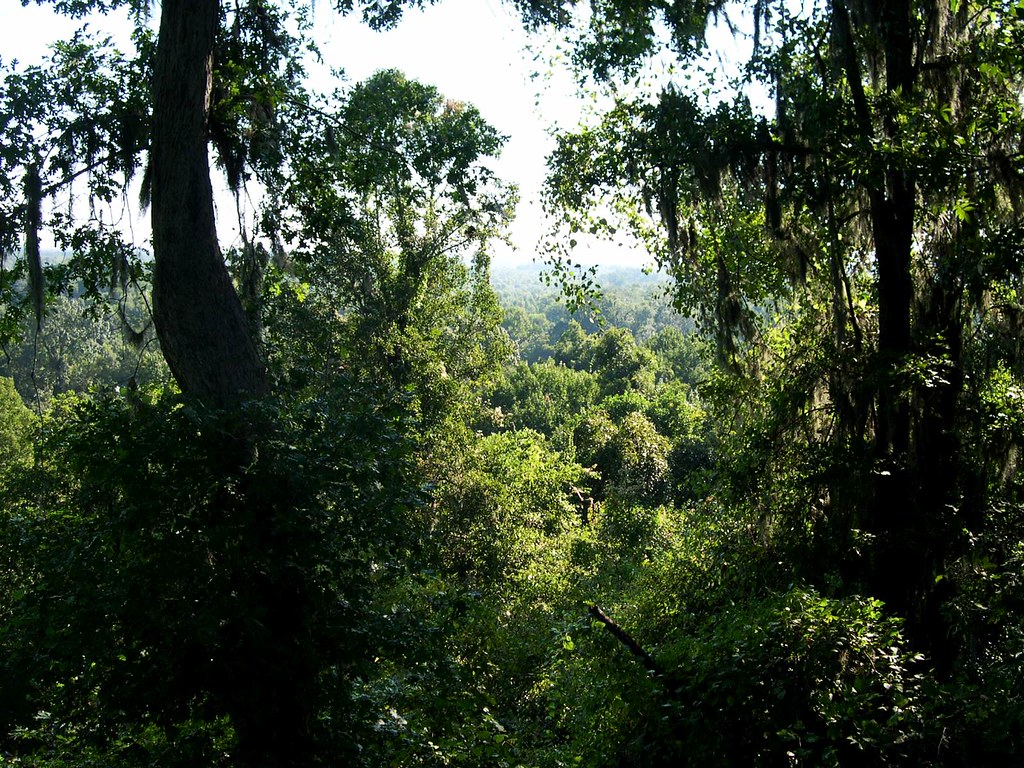
Congaree bluff view
Oakridge Trail-Congaree National Park

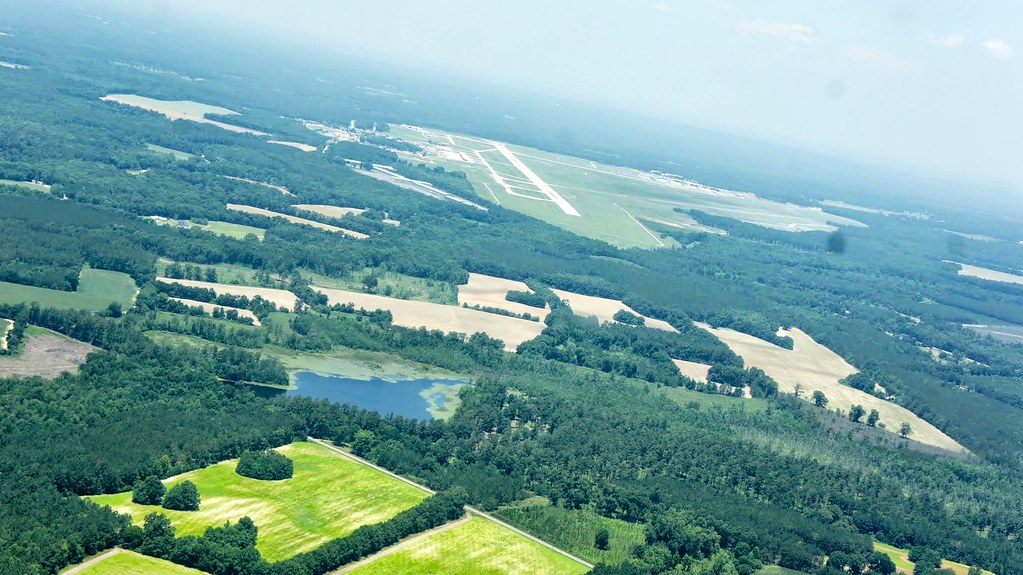
A view of Columbia, from 22 miles away.
Town Square St, St Matthews, SC, USA Karte
Suchen Sie einen anderen Ort
Nahe Plätze
Calhoun County, South Carolina, USA
Dantzler St, St Matthews, SC, USA
State Rd S-9-46, St Matthews, SC, USA
Saint Matthews, St Matthews, SC, USA
Cameron, South Carolina, USA
Langley Rd, Orangeburg, SC, USA
Orangeburg County Landfill, Endicott Ct, Orangeburg, SC, USA
Midway Rd, Elloree, SC, USA
Elloree, SC, USA
Old Number Six Hwy, Elloree, SC, USA
Rosehaven Ln, Orangeburg, SC, USA
Greenwood Ave NE, Orangeburg, SC, USA
Landing Way, South Carolina, USA
1 Oc, Orangeburg, SC, USA
Orangeburg, SC, USA
Broad Street, Broad St, Orangeburg, SC, USA
Cherokee St SW, Orangeburg, SC, USA
Family Medicine-Elloree-Santee: Carpenter Jr Richard L MD, Old Highway 6, Santee, SC, USA
Edisto, SC, USA
Santee, South Carolina, USA
Letzte Suche
- Red Dog Mine, AK, USA Sonnenaufgang Sonnenuntergang Zeiten
- Am Bahnhof, Am bhf, Borken, Germany Sonnenaufgang Sonnenuntergang Zeiten
- 4th St E, Sonoma, CA, USA Sonnenaufgang Sonnenuntergang Zeiten
- Oakland Ave, Williamsport, PA, USA Sonnenaufgang Sonnenuntergang Zeiten
- Via Roma, Pieranica CR, Italien Sonnenaufgang Sonnenuntergang Zeiten
- Glockenturm, Grad, Dubrovnik, Kroatien Sonnenaufgang Sonnenuntergang Zeiten
- Trelew, Chubut Province, Argentina Sonnenaufgang Sonnenuntergang Zeiten
- Hartfords Bluff Cir, Mt Pleasant, SC, USA Sonnenaufgang Sonnenuntergang Zeiten
- Kita-ku, Kumamoto, Präfektur Kumamoto, Japan Sonnenaufgang Sonnenuntergang Zeiten
- Pingtan Island, Pingtan County, Fuzhou, China Sonnenaufgang Sonnenuntergang Zeiten