Thedford, Nebraska, USA Sonnenaufgang Sonnenuntergang Zeiten
Location: USA > Nebraska > Thomas County > Thedford >
Zeitzone:
America/Chicago
Ortszeit:
2025-07-02 16:31:46
Länge:
-100.5754876
Breite:
41.9783337
Sonnenaufgang Heute:
06:12:07 AM
Sonnenuntergang Heute:
09:21:17 PM
Tageslänge heute:
15h 9m 10s
Sonnenaufgang morgen:
06:12:43 AM
Sonnenuntergang Morgen:
09:21:02 PM
Tageslänge von morgen:
15h 8m 19s
Alle Termine anzeigen
| Datum | Sonnenaufgang | Sonnenuntergang | Tageslänge |
|---|---|---|---|
| 2025-01-01 | 08:10:15 AM | 05:22:40 PM | 9h 12m 25s |
| 2025-01-02 | 08:10:17 AM | 05:23:34 PM | 9h 13m 17s |
| 2025-01-03 | 08:10:15 AM | 05:24:29 PM | 9h 14m 14s |
| 2025-01-04 | 08:10:12 AM | 05:25:27 PM | 9h 15m 15s |
| 2025-01-05 | 08:10:06 AM | 05:26:25 PM | 9h 16m 19s |
| 2025-01-06 | 08:09:57 AM | 05:27:25 PM | 9h 17m 28s |
| 2025-01-07 | 08:09:47 AM | 05:28:26 PM | 9h 18m 39s |
| 2025-01-08 | 08:09:34 AM | 05:29:29 PM | 9h 19m 55s |
| 2025-01-09 | 08:09:18 AM | 05:30:33 PM | 9h 21m 15s |
| 2025-01-10 | 08:09:01 AM | 05:31:38 PM | 9h 22m 37s |
| 2025-01-11 | 08:08:41 AM | 05:32:44 PM | 9h 24m 3s |
| 2025-01-12 | 08:08:19 AM | 05:33:51 PM | 9h 25m 32s |
| 2025-01-13 | 08:07:54 AM | 05:35:00 PM | 9h 27m 6s |
| 2025-01-14 | 08:07:27 AM | 05:36:09 PM | 9h 28m 42s |
| 2025-01-15 | 08:06:58 AM | 05:37:19 PM | 9h 30m 21s |
| 2025-01-16 | 08:06:27 AM | 05:38:29 PM | 9h 32m 2s |
| 2025-01-17 | 08:05:53 AM | 05:39:41 PM | 9h 33m 48s |
| 2025-01-18 | 08:05:18 AM | 05:40:53 PM | 9h 35m 35s |
| 2025-01-19 | 08:04:40 AM | 05:42:06 PM | 9h 37m 26s |
| 2025-01-20 | 08:04:00 AM | 05:43:20 PM | 9h 39m 20s |
| 2025-01-21 | 08:03:18 AM | 05:44:34 PM | 9h 41m 16s |
| 2025-01-22 | 08:02:34 AM | 05:45:49 PM | 9h 43m 15s |
| 2025-01-23 | 08:01:48 AM | 05:47:04 PM | 9h 45m 16s |
| 2025-01-24 | 08:01:00 AM | 05:48:19 PM | 9h 47m 19s |
| 2025-01-25 | 08:00:10 AM | 05:49:35 PM | 9h 49m 25s |
| 2025-01-26 | 07:59:18 AM | 05:50:52 PM | 9h 51m 34s |
| 2025-01-27 | 07:58:24 AM | 05:52:08 PM | 9h 53m 44s |
| 2025-01-28 | 07:57:28 AM | 05:53:25 PM | 9h 55m 57s |
| 2025-01-29 | 07:56:31 AM | 05:54:42 PM | 9h 58m 11s |
| 2025-01-30 | 07:55:31 AM | 05:55:59 PM | 10h 0m 28s |
| 2025-01-31 | 07:54:30 AM | 05:57:16 PM | 10h 2m 46s |
| 2025-02-01 | 07:53:27 AM | 05:58:33 PM | 10h 5m 6s |
| 2025-02-02 | 07:52:23 AM | 05:59:51 PM | 10h 7m 28s |
| 2025-02-03 | 07:51:17 AM | 06:01:08 PM | 10h 9m 51s |
| 2025-02-04 | 07:50:09 AM | 06:02:25 PM | 10h 12m 16s |
| 2025-02-05 | 07:49:00 AM | 06:03:43 PM | 10h 14m 43s |
| 2025-02-06 | 07:47:49 AM | 06:05:00 PM | 10h 17m 11s |
| 2025-02-07 | 07:46:37 AM | 06:06:17 PM | 10h 19m 40s |
| 2025-02-08 | 07:45:23 AM | 06:07:34 PM | 10h 22m 11s |
| 2025-02-09 | 07:44:08 AM | 06:08:51 PM | 10h 24m 43s |
| 2025-02-10 | 07:42:51 AM | 06:10:08 PM | 10h 27m 17s |
| 2025-02-11 | 07:41:33 AM | 06:11:24 PM | 10h 29m 51s |
| 2025-02-12 | 07:40:14 AM | 06:12:41 PM | 10h 32m 27s |
| 2025-02-13 | 07:38:53 AM | 06:13:57 PM | 10h 35m 4s |
| 2025-02-14 | 07:37:31 AM | 06:15:13 PM | 10h 37m 42s |
| 2025-02-15 | 07:36:08 AM | 06:16:29 PM | 10h 40m 21s |
| 2025-02-16 | 07:34:44 AM | 06:17:44 PM | 10h 43m 0s |
| 2025-02-17 | 07:33:19 AM | 06:18:59 PM | 10h 45m 40s |
| 2025-02-18 | 07:31:53 AM | 06:20:14 PM | 10h 48m 21s |
| 2025-02-19 | 07:30:25 AM | 06:21:29 PM | 10h 51m 4s |
| 2025-02-20 | 07:28:57 AM | 06:22:44 PM | 10h 53m 47s |
| 2025-02-21 | 07:27:28 AM | 06:23:58 PM | 10h 56m 30s |
| 2025-02-22 | 07:25:57 AM | 06:25:11 PM | 10h 59m 14s |
| 2025-02-23 | 07:24:26 AM | 06:26:25 PM | 11h 1m 59s |
| 2025-02-24 | 07:22:54 AM | 06:27:38 PM | 11h 4m 44s |
| 2025-02-25 | 07:21:21 AM | 06:28:51 PM | 11h 7m 30s |
| 2025-02-26 | 07:19:47 AM | 06:30:04 PM | 11h 10m 17s |
| 2025-02-27 | 07:18:13 AM | 06:31:16 PM | 11h 13m 3s |
| 2025-02-28 | 07:16:37 AM | 06:32:28 PM | 11h 15m 51s |
| 2025-03-01 | 07:15:01 AM | 06:33:40 PM | 11h 18m 39s |
| 2025-03-02 | 07:13:25 AM | 06:34:52 PM | 11h 21m 27s |
| 2025-03-03 | 07:11:47 AM | 06:36:03 PM | 11h 24m 16s |
| 2025-03-04 | 07:10:10 AM | 06:37:14 PM | 11h 27m 4s |
| 2025-03-05 | 07:08:31 AM | 06:38:24 PM | 11h 29m 53s |
| 2025-03-06 | 07:06:52 AM | 06:39:35 PM | 11h 32m 43s |
| 2025-03-07 | 07:05:13 AM | 06:40:45 PM | 11h 35m 32s |
| 2025-03-08 | 07:03:33 AM | 06:41:55 PM | 11h 38m 22s |
| 2025-03-09 | 08:01:57 AM | 07:43:02 PM | 11h 41m 5s |
| 2025-03-10 | 08:00:16 AM | 07:44:11 PM | 11h 43m 55s |
| 2025-03-11 | 07:58:35 AM | 07:45:20 PM | 11h 46m 45s |
| 2025-03-12 | 07:56:53 AM | 07:46:29 PM | 11h 49m 36s |
| 2025-03-13 | 07:55:11 AM | 07:47:38 PM | 11h 52m 27s |
| 2025-03-14 | 07:53:29 AM | 07:48:46 PM | 11h 55m 17s |
| 2025-03-15 | 07:51:47 AM | 07:49:55 PM | 11h 58m 8s |
| 2025-03-16 | 07:50:04 AM | 07:51:03 PM | 12h 0m 59s |
| 2025-03-17 | 07:48:22 AM | 07:52:11 PM | 12h 3m 49s |
| 2025-03-18 | 07:46:39 AM | 07:53:19 PM | 12h 6m 40s |
| 2025-03-19 | 07:44:56 AM | 07:54:26 PM | 12h 9m 30s |
| 2025-03-20 | 07:43:12 AM | 07:55:34 PM | 12h 12m 22s |
| 2025-03-21 | 07:41:29 AM | 07:56:41 PM | 12h 15m 12s |
| 2025-03-22 | 07:39:46 AM | 07:57:48 PM | 12h 18m 2s |
| 2025-03-23 | 07:38:03 AM | 07:58:55 PM | 12h 20m 52s |
| 2025-03-24 | 07:36:20 AM | 08:00:02 PM | 12h 23m 42s |
| 2025-03-25 | 07:34:36 AM | 08:01:09 PM | 12h 26m 33s |
| 2025-03-26 | 07:32:53 AM | 08:02:16 PM | 12h 29m 23s |
| 2025-03-27 | 07:31:10 AM | 08:03:23 PM | 12h 32m 13s |
| 2025-03-28 | 07:29:28 AM | 08:04:30 PM | 12h 35m 2s |
| 2025-03-29 | 07:27:45 AM | 08:05:36 PM | 12h 37m 51s |
| 2025-03-30 | 07:26:03 AM | 08:06:43 PM | 12h 40m 40s |
| 2025-03-31 | 07:24:21 AM | 08:07:49 PM | 12h 43m 28s |
| 2025-04-01 | 07:22:39 AM | 08:08:56 PM | 12h 46m 17s |
| 2025-04-02 | 07:20:57 AM | 08:10:02 PM | 12h 49m 5s |
| 2025-04-03 | 07:19:16 AM | 08:11:09 PM | 12h 51m 53s |
| 2025-04-04 | 07:17:35 AM | 08:12:15 PM | 12h 54m 40s |
| 2025-04-05 | 07:15:55 AM | 08:13:22 PM | 12h 57m 27s |
| 2025-04-06 | 07:14:14 AM | 08:14:28 PM | 13h 0m 14s |
| 2025-04-07 | 07:12:35 AM | 08:15:34 PM | 13h 2m 59s |
| 2025-04-08 | 07:10:56 AM | 08:16:41 PM | 13h 5m 45s |
| 2025-04-09 | 07:09:17 AM | 08:17:47 PM | 13h 8m 30s |
| 2025-04-10 | 07:07:39 AM | 08:18:54 PM | 13h 11m 15s |
| 2025-04-11 | 07:06:02 AM | 08:20:00 PM | 13h 13m 58s |
| 2025-04-12 | 07:04:25 AM | 08:21:07 PM | 13h 16m 42s |
| 2025-04-13 | 07:02:49 AM | 08:22:13 PM | 13h 19m 24s |
| 2025-04-14 | 07:01:13 AM | 08:23:20 PM | 13h 22m 7s |
| 2025-04-15 | 06:59:38 AM | 08:24:26 PM | 13h 24m 48s |
| 2025-04-16 | 06:58:04 AM | 08:25:33 PM | 13h 27m 29s |
| 2025-04-17 | 06:56:31 AM | 08:26:39 PM | 13h 30m 8s |
| 2025-04-18 | 06:54:59 AM | 08:27:46 PM | 13h 32m 47s |
| 2025-04-19 | 06:53:27 AM | 08:28:52 PM | 13h 35m 25s |
| 2025-04-20 | 06:51:56 AM | 08:29:59 PM | 13h 38m 3s |
| 2025-04-21 | 06:50:26 AM | 08:31:05 PM | 13h 40m 39s |
| 2025-04-22 | 06:48:57 AM | 08:32:11 PM | 13h 43m 14s |
| 2025-04-23 | 06:47:30 AM | 08:33:18 PM | 13h 45m 48s |
| 2025-04-24 | 06:46:03 AM | 08:34:24 PM | 13h 48m 21s |
| 2025-04-25 | 06:44:37 AM | 08:35:30 PM | 13h 50m 53s |
| 2025-04-26 | 06:43:12 AM | 08:36:37 PM | 13h 53m 25s |
| 2025-04-27 | 06:41:48 AM | 08:37:43 PM | 13h 55m 55s |
| 2025-04-28 | 06:40:26 AM | 08:38:49 PM | 13h 58m 23s |
| 2025-04-29 | 06:39:04 AM | 08:39:55 PM | 14h 0m 51s |
| 2025-04-30 | 06:37:44 AM | 08:41:01 PM | 14h 3m 17s |
| 2025-05-01 | 06:36:25 AM | 08:42:06 PM | 14h 5m 41s |
| 2025-05-02 | 06:35:07 AM | 08:43:12 PM | 14h 8m 5s |
| 2025-05-03 | 06:33:51 AM | 08:44:17 PM | 14h 10m 26s |
| 2025-05-04 | 06:32:36 AM | 08:45:22 PM | 14h 12m 46s |
| 2025-05-05 | 06:31:22 AM | 08:46:27 PM | 14h 15m 5s |
| 2025-05-06 | 06:30:10 AM | 08:47:31 PM | 14h 17m 21s |
| 2025-05-07 | 06:28:59 AM | 08:48:35 PM | 14h 19m 36s |
| 2025-05-08 | 06:27:49 AM | 08:49:39 PM | 14h 21m 50s |
| 2025-05-09 | 06:26:41 AM | 08:50:43 PM | 14h 24m 2s |
| 2025-05-10 | 06:25:35 AM | 08:51:46 PM | 14h 26m 11s |
| 2025-05-11 | 06:24:30 AM | 08:52:49 PM | 14h 28m 19s |
| 2025-05-12 | 06:23:27 AM | 08:53:51 PM | 14h 30m 24s |
| 2025-05-13 | 06:22:25 AM | 08:54:53 PM | 14h 32m 28s |
| 2025-05-14 | 06:21:25 AM | 08:55:54 PM | 14h 34m 29s |
| 2025-05-15 | 06:20:27 AM | 08:56:55 PM | 14h 36m 28s |
| 2025-05-16 | 06:19:31 AM | 08:57:55 PM | 14h 38m 24s |
| 2025-05-17 | 06:18:36 AM | 08:58:55 PM | 14h 40m 19s |
| 2025-05-18 | 06:17:43 AM | 08:59:53 PM | 14h 42m 10s |
| 2025-05-19 | 06:16:51 AM | 09:00:52 PM | 14h 44m 1s |
| 2025-05-20 | 06:16:02 AM | 09:01:49 PM | 14h 45m 47s |
| 2025-05-21 | 06:15:14 AM | 09:02:46 PM | 14h 47m 32s |
| 2025-05-22 | 06:14:28 AM | 09:03:41 PM | 14h 49m 13s |
| 2025-05-23 | 06:13:45 AM | 09:04:36 PM | 14h 50m 51s |
| 2025-05-24 | 06:13:03 AM | 09:05:30 PM | 14h 52m 27s |
| 2025-05-25 | 06:12:23 AM | 09:06:23 PM | 14h 54m 0s |
| 2025-05-26 | 06:11:44 AM | 09:07:16 PM | 14h 55m 32s |
| 2025-05-27 | 06:11:08 AM | 09:08:07 PM | 14h 56m 59s |
| 2025-05-28 | 06:10:34 AM | 09:08:56 PM | 14h 58m 22s |
| 2025-05-29 | 06:10:02 AM | 09:09:45 PM | 14h 59m 43s |
| 2025-05-30 | 06:09:32 AM | 09:10:33 PM | 15h 1m 1s |
| 2025-05-31 | 06:09:04 AM | 09:11:19 PM | 15h 2m 15s |
| 2025-06-01 | 06:08:38 AM | 09:12:04 PM | 15h 3m 26s |
| 2025-06-02 | 06:08:14 AM | 09:12:48 PM | 15h 4m 34s |
| 2025-06-03 | 06:07:52 AM | 09:13:31 PM | 15h 5m 39s |
| 2025-06-04 | 06:07:32 AM | 09:14:12 PM | 15h 6m 40s |
| 2025-06-05 | 06:07:15 AM | 09:14:51 PM | 15h 7m 36s |
| 2025-06-06 | 06:06:59 AM | 09:15:29 PM | 15h 8m 30s |
| 2025-06-07 | 06:06:45 AM | 09:16:06 PM | 15h 9m 21s |
| 2025-06-08 | 06:06:34 AM | 09:16:41 PM | 15h 10m 7s |
| 2025-06-09 | 06:06:25 AM | 09:17:14 PM | 15h 10m 49s |
| 2025-06-10 | 06:06:17 AM | 09:17:46 PM | 15h 11m 29s |
| 2025-06-11 | 06:06:12 AM | 09:18:16 PM | 15h 12m 4s |
| 2025-06-12 | 06:06:09 AM | 09:18:44 PM | 15h 12m 35s |
| 2025-06-13 | 06:06:08 AM | 09:19:11 PM | 15h 13m 3s |
| 2025-06-14 | 06:06:09 AM | 09:19:35 PM | 15h 13m 26s |
| 2025-06-15 | 06:06:12 AM | 09:19:58 PM | 15h 13m 46s |
| 2025-06-16 | 06:06:17 AM | 09:20:19 PM | 15h 14m 2s |
| 2025-06-17 | 06:06:24 AM | 09:20:38 PM | 15h 14m 14s |
| 2025-06-18 | 06:06:32 AM | 09:20:56 PM | 15h 14m 24s |
| 2025-06-19 | 06:06:43 AM | 09:21:11 PM | 15h 14m 28s |
| 2025-06-20 | 06:06:56 AM | 09:21:24 PM | 15h 14m 28s |
| 2025-06-21 | 06:07:11 AM | 09:21:35 PM | 15h 14m 24s |
| 2025-06-22 | 06:07:28 AM | 09:21:45 PM | 15h 14m 17s |
| 2025-06-23 | 06:07:46 AM | 09:21:52 PM | 15h 14m 6s |
| 2025-06-24 | 06:08:07 AM | 09:21:57 PM | 15h 13m 50s |
| 2025-06-25 | 06:08:29 AM | 09:22:00 PM | 15h 13m 31s |
| 2025-06-26 | 06:08:53 AM | 09:22:01 PM | 15h 13m 8s |
| 2025-06-27 | 06:09:18 AM | 09:22:00 PM | 15h 12m 42s |
| 2025-06-28 | 06:09:46 AM | 09:21:57 PM | 15h 12m 11s |
| 2025-06-29 | 06:10:15 AM | 09:21:52 PM | 15h 11m 37s |
| 2025-06-30 | 06:10:45 AM | 09:21:44 PM | 15h 10m 59s |
| 2025-07-01 | 06:11:17 AM | 09:21:35 PM | 15h 10m 18s |
| 2025-07-02 | 06:11:51 AM | 09:21:23 PM | 15h 9m 32s |
| 2025-07-03 | 06:12:26 AM | 09:21:09 PM | 15h 8m 43s |
| 2025-07-04 | 06:13:03 AM | 09:20:53 PM | 15h 7m 50s |
| 2025-07-05 | 06:13:41 AM | 09:20:35 PM | 15h 6m 54s |
| 2025-07-06 | 06:14:21 AM | 09:20:15 PM | 15h 5m 54s |
| 2025-07-07 | 06:15:02 AM | 09:19:53 PM | 15h 4m 51s |
| 2025-07-08 | 06:15:44 AM | 09:19:29 PM | 15h 3m 45s |
| 2025-07-09 | 06:16:27 AM | 09:19:02 PM | 15h 2m 35s |
| 2025-07-10 | 06:17:12 AM | 09:18:33 PM | 15h 1m 21s |
| 2025-07-11 | 06:17:58 AM | 09:18:03 PM | 15h 0m 5s |
| 2025-07-12 | 06:18:44 AM | 09:17:30 PM | 14h 58m 46s |
| 2025-07-13 | 06:19:32 AM | 09:16:55 PM | 14h 57m 23s |
| 2025-07-14 | 06:20:21 AM | 09:16:19 PM | 14h 55m 58s |
| 2025-07-15 | 06:21:11 AM | 09:15:40 PM | 14h 54m 29s |
| 2025-07-16 | 06:22:02 AM | 09:14:59 PM | 14h 52m 57s |
| 2025-07-17 | 06:22:54 AM | 09:14:17 PM | 14h 51m 23s |
| 2025-07-18 | 06:23:46 AM | 09:13:32 PM | 14h 49m 46s |
| 2025-07-19 | 06:24:40 AM | 09:12:46 PM | 14h 48m 6s |
| 2025-07-20 | 06:25:34 AM | 09:11:57 PM | 14h 46m 23s |
| 2025-07-21 | 06:26:29 AM | 09:11:07 PM | 14h 44m 38s |
| 2025-07-22 | 06:27:25 AM | 09:10:15 PM | 14h 42m 50s |
| 2025-07-23 | 06:28:21 AM | 09:09:21 PM | 14h 41m 0s |
| 2025-07-24 | 06:29:18 AM | 09:08:25 PM | 14h 39m 7s |
| 2025-07-25 | 06:30:15 AM | 09:07:28 PM | 14h 37m 13s |
| 2025-07-26 | 06:31:13 AM | 09:06:28 PM | 14h 35m 15s |
| 2025-07-27 | 06:32:11 AM | 09:05:27 PM | 14h 33m 16s |
| 2025-07-28 | 06:33:10 AM | 09:04:25 PM | 14h 31m 15s |
| 2025-07-29 | 06:34:10 AM | 09:03:21 PM | 14h 29m 11s |
| 2025-07-30 | 06:35:09 AM | 09:02:15 PM | 14h 27m 6s |
| 2025-07-31 | 06:36:09 AM | 09:01:07 PM | 14h 24m 58s |
| 2025-08-01 | 06:37:10 AM | 08:59:59 PM | 14h 22m 49s |
| 2025-08-02 | 06:38:10 AM | 08:58:48 PM | 14h 20m 38s |
| 2025-08-03 | 06:39:11 AM | 08:57:36 PM | 14h 18m 25s |
| 2025-08-04 | 06:40:13 AM | 08:56:23 PM | 14h 16m 10s |
| 2025-08-05 | 06:41:14 AM | 08:55:08 PM | 14h 13m 54s |
| 2025-08-06 | 06:42:16 AM | 08:53:52 PM | 14h 11m 36s |
| 2025-08-07 | 06:43:17 AM | 08:52:34 PM | 14h 9m 17s |
| 2025-08-08 | 06:44:19 AM | 08:51:15 PM | 14h 6m 56s |
| 2025-08-09 | 06:45:21 AM | 08:49:55 PM | 14h 4m 34s |
| 2025-08-10 | 06:46:24 AM | 08:48:34 PM | 14h 2m 10s |
| 2025-08-11 | 06:47:26 AM | 08:47:11 PM | 13h 59m 45s |
| 2025-08-12 | 06:48:28 AM | 08:45:48 PM | 13h 57m 20s |
| 2025-08-13 | 06:49:31 AM | 08:44:23 PM | 13h 54m 52s |
| 2025-08-14 | 06:50:33 AM | 08:42:57 PM | 13h 52m 24s |
| 2025-08-15 | 06:51:35 AM | 08:41:29 PM | 13h 49m 54s |
| 2025-08-16 | 06:52:38 AM | 08:40:01 PM | 13h 47m 23s |
| 2025-08-17 | 06:53:40 AM | 08:38:32 PM | 13h 44m 52s |
| 2025-08-18 | 06:54:43 AM | 08:37:02 PM | 13h 42m 19s |
| 2025-08-19 | 06:55:45 AM | 08:35:31 PM | 13h 39m 46s |
| 2025-08-20 | 06:56:48 AM | 08:33:59 PM | 13h 37m 11s |
| 2025-08-21 | 06:57:50 AM | 08:32:26 PM | 13h 34m 36s |
| 2025-08-22 | 06:58:53 AM | 08:30:52 PM | 13h 31m 59s |
| 2025-08-23 | 06:59:55 AM | 08:29:17 PM | 13h 29m 22s |
| 2025-08-24 | 07:00:58 AM | 08:27:42 PM | 13h 26m 44s |
| 2025-08-25 | 07:02:00 AM | 08:26:05 PM | 13h 24m 5s |
| 2025-08-26 | 07:03:02 AM | 08:24:28 PM | 13h 21m 26s |
| 2025-08-27 | 07:04:04 AM | 08:22:51 PM | 13h 18m 47s |
| 2025-08-28 | 07:05:07 AM | 08:21:13 PM | 13h 16m 6s |
| 2025-08-29 | 07:06:09 AM | 08:19:34 PM | 13h 13m 25s |
| 2025-08-30 | 07:07:11 AM | 08:17:54 PM | 13h 10m 43s |
| 2025-08-31 | 07:08:13 AM | 08:16:14 PM | 13h 8m 1s |
| 2025-09-01 | 07:09:15 AM | 08:14:33 PM | 13h 5m 18s |
| 2025-09-02 | 07:10:17 AM | 08:12:52 PM | 13h 2m 35s |
| 2025-09-03 | 07:11:19 AM | 08:11:10 PM | 12h 59m 51s |
| 2025-09-04 | 07:12:21 AM | 08:09:28 PM | 12h 57m 7s |
| 2025-09-05 | 07:13:23 AM | 08:07:46 PM | 12h 54m 23s |
| 2025-09-06 | 07:14:25 AM | 08:06:03 PM | 12h 51m 38s |
| 2025-09-07 | 07:15:27 AM | 08:04:20 PM | 12h 48m 53s |
| 2025-09-08 | 07:16:29 AM | 08:02:36 PM | 12h 46m 7s |
| 2025-09-09 | 07:17:31 AM | 08:00:52 PM | 12h 43m 21s |
| 2025-09-10 | 07:18:33 AM | 07:59:08 PM | 12h 40m 35s |
| 2025-09-11 | 07:19:35 AM | 07:57:23 PM | 12h 37m 48s |
| 2025-09-12 | 07:20:37 AM | 07:55:39 PM | 12h 35m 2s |
| 2025-09-13 | 07:21:39 AM | 07:53:54 PM | 12h 32m 15s |
| 2025-09-14 | 07:22:41 AM | 07:52:09 PM | 12h 29m 28s |
| 2025-09-15 | 07:23:43 AM | 07:50:24 PM | 12h 26m 41s |
| 2025-09-16 | 07:24:45 AM | 07:48:39 PM | 12h 23m 54s |
| 2025-09-17 | 07:25:48 AM | 07:46:53 PM | 12h 21m 5s |
| 2025-09-18 | 07:26:50 AM | 07:45:08 PM | 12h 18m 18s |
| 2025-09-19 | 07:27:53 AM | 07:43:23 PM | 12h 15m 30s |
| 2025-09-20 | 07:28:55 AM | 07:41:38 PM | 12h 12m 43s |
| 2025-09-21 | 07:29:58 AM | 07:39:53 PM | 12h 9m 55s |
| 2025-09-22 | 07:31:01 AM | 07:38:07 PM | 12h 7m 6s |
| 2025-09-23 | 07:32:04 AM | 07:36:22 PM | 12h 4m 18s |
| 2025-09-24 | 07:33:08 AM | 07:34:38 PM | 12h 1m 30s |
| 2025-09-25 | 07:34:11 AM | 07:32:53 PM | 11h 58m 42s |
| 2025-09-26 | 07:35:15 AM | 07:31:08 PM | 11h 55m 53s |
| 2025-09-27 | 07:36:18 AM | 07:29:24 PM | 11h 53m 6s |
| 2025-09-28 | 07:37:22 AM | 07:27:40 PM | 11h 50m 18s |
| 2025-09-29 | 07:38:27 AM | 07:25:57 PM | 11h 47m 30s |
| 2025-09-30 | 07:39:31 AM | 07:24:13 PM | 11h 44m 42s |
| 2025-10-01 | 07:40:36 AM | 07:22:30 PM | 11h 41m 54s |
| 2025-10-02 | 07:41:41 AM | 07:20:48 PM | 11h 39m 7s |
| 2025-10-03 | 07:42:46 AM | 07:19:06 PM | 11h 36m 20s |
| 2025-10-04 | 07:43:51 AM | 07:17:24 PM | 11h 33m 33s |
| 2025-10-05 | 07:44:57 AM | 07:15:43 PM | 11h 30m 46s |
| 2025-10-06 | 07:46:03 AM | 07:14:02 PM | 11h 27m 59s |
| 2025-10-07 | 07:47:10 AM | 07:12:22 PM | 11h 25m 12s |
| 2025-10-08 | 07:48:16 AM | 07:10:43 PM | 11h 22m 27s |
| 2025-10-09 | 07:49:23 AM | 07:09:04 PM | 11h 19m 41s |
| 2025-10-10 | 07:50:30 AM | 07:07:25 PM | 11h 16m 55s |
| 2025-10-11 | 07:51:38 AM | 07:05:48 PM | 11h 14m 10s |
| 2025-10-12 | 07:52:46 AM | 07:04:11 PM | 11h 11m 25s |
| 2025-10-13 | 07:53:54 AM | 07:02:35 PM | 11h 8m 41s |
| 2025-10-14 | 07:55:02 AM | 07:01:00 PM | 11h 5m 58s |
| 2025-10-15 | 07:56:11 AM | 06:59:25 PM | 11h 3m 14s |
| 2025-10-16 | 07:57:20 AM | 06:57:51 PM | 11h 0m 31s |
| 2025-10-17 | 07:58:29 AM | 06:56:19 PM | 10h 57m 50s |
| 2025-10-18 | 07:59:39 AM | 06:54:47 PM | 10h 55m 8s |
| 2025-10-19 | 08:00:49 AM | 06:53:16 PM | 10h 52m 27s |
| 2025-10-20 | 08:01:59 AM | 06:51:46 PM | 10h 49m 47s |
| 2025-10-21 | 08:03:10 AM | 06:50:17 PM | 10h 47m 7s |
| 2025-10-22 | 08:04:21 AM | 06:48:49 PM | 10h 44m 28s |
| 2025-10-23 | 08:05:32 AM | 06:47:22 PM | 10h 41m 50s |
| 2025-10-24 | 08:06:44 AM | 06:45:57 PM | 10h 39m 13s |
| 2025-10-25 | 08:07:56 AM | 06:44:32 PM | 10h 36m 36s |
| 2025-10-26 | 08:09:08 AM | 06:43:09 PM | 10h 34m 1s |
| 2025-10-27 | 08:10:20 AM | 06:41:47 PM | 10h 31m 27s |
| 2025-10-28 | 08:11:33 AM | 06:40:26 PM | 10h 28m 53s |
| 2025-10-29 | 08:12:46 AM | 06:39:07 PM | 10h 26m 21s |
| 2025-10-30 | 08:13:59 AM | 06:37:49 PM | 10h 23m 50s |
| 2025-10-31 | 08:15:12 AM | 06:36:32 PM | 10h 21m 20s |
| 2025-11-01 | 08:16:25 AM | 06:35:17 PM | 10h 18m 52s |
| 2025-11-02 | 07:17:42 AM | 05:34:00 PM | 10h 16m 18s |
| 2025-11-03 | 07:18:56 AM | 05:32:48 PM | 10h 13m 52s |
| 2025-11-04 | 07:20:10 AM | 05:31:37 PM | 10h 11m 27s |
| 2025-11-05 | 07:21:24 AM | 05:30:28 PM | 10h 9m 4s |
| 2025-11-06 | 07:22:38 AM | 05:29:21 PM | 10h 6m 43s |
| 2025-11-07 | 07:23:52 AM | 05:28:15 PM | 10h 4m 23s |
| 2025-11-08 | 07:25:06 AM | 05:27:11 PM | 10h 2m 5s |
| 2025-11-09 | 07:26:19 AM | 05:26:08 PM | 9h 59m 49s |
| 2025-11-10 | 07:27:33 AM | 05:25:08 PM | 9h 57m 35s |
| 2025-11-11 | 07:28:47 AM | 05:24:09 PM | 9h 55m 22s |
| 2025-11-12 | 07:30:01 AM | 05:23:12 PM | 9h 53m 11s |
| 2025-11-13 | 07:31:14 AM | 05:22:17 PM | 9h 51m 3s |
| 2025-11-14 | 07:32:28 AM | 05:21:24 PM | 9h 48m 56s |
| 2025-11-15 | 07:33:41 AM | 05:20:32 PM | 9h 46m 51s |
| 2025-11-16 | 07:34:53 AM | 05:19:43 PM | 9h 44m 50s |
| 2025-11-17 | 07:36:06 AM | 05:18:56 PM | 9h 42m 50s |
| 2025-11-18 | 07:37:18 AM | 05:18:11 PM | 9h 40m 53s |
| 2025-11-19 | 07:38:29 AM | 05:17:28 PM | 9h 38m 59s |
| 2025-11-20 | 07:39:40 AM | 05:16:46 PM | 9h 37m 6s |
| 2025-11-21 | 07:40:51 AM | 05:16:08 PM | 9h 35m 17s |
| 2025-11-22 | 07:42:01 AM | 05:15:31 PM | 9h 33m 30s |
| 2025-11-23 | 07:43:10 AM | 05:14:56 PM | 9h 31m 46s |
| 2025-11-24 | 07:44:19 AM | 05:14:24 PM | 9h 30m 5s |
| 2025-11-25 | 07:45:26 AM | 05:13:54 PM | 9h 28m 28s |
| 2025-11-26 | 07:46:33 AM | 05:13:26 PM | 9h 26m 53s |
| 2025-11-27 | 07:47:40 AM | 05:13:00 PM | 9h 25m 20s |
| 2025-11-28 | 07:48:45 AM | 05:12:37 PM | 9h 23m 52s |
| 2025-11-29 | 07:49:49 AM | 05:12:16 PM | 9h 22m 27s |
| 2025-11-30 | 07:50:52 AM | 05:11:58 PM | 9h 21m 6s |
| 2025-12-01 | 07:51:55 AM | 05:11:41 PM | 9h 19m 46s |
| 2025-12-02 | 07:52:56 AM | 05:11:27 PM | 9h 18m 31s |
| 2025-12-03 | 07:53:55 AM | 05:11:16 PM | 9h 17m 21s |
| 2025-12-04 | 07:54:54 AM | 05:11:07 PM | 9h 16m 13s |
| 2025-12-05 | 07:55:51 AM | 05:11:00 PM | 9h 15m 9s |
| 2025-12-06 | 07:56:47 AM | 05:10:56 PM | 9h 14m 9s |
| 2025-12-07 | 07:57:41 AM | 05:10:54 PM | 9h 13m 13s |
| 2025-12-08 | 07:58:34 AM | 05:10:55 PM | 9h 12m 21s |
| 2025-12-09 | 07:59:26 AM | 05:10:58 PM | 9h 11m 32s |
| 2025-12-10 | 08:00:16 AM | 05:11:03 PM | 9h 10m 47s |
| 2025-12-11 | 08:01:04 AM | 05:11:11 PM | 9h 10m 7s |
| 2025-12-12 | 08:01:50 AM | 05:11:21 PM | 9h 9m 31s |
| 2025-12-13 | 08:02:35 AM | 05:11:33 PM | 9h 8m 58s |
| 2025-12-14 | 08:03:18 AM | 05:11:48 PM | 9h 8m 30s |
| 2025-12-15 | 08:03:59 AM | 05:12:05 PM | 9h 8m 6s |
| 2025-12-16 | 08:04:38 AM | 05:12:25 PM | 9h 7m 47s |
| 2025-12-17 | 08:05:15 AM | 05:12:46 PM | 9h 7m 31s |
| 2025-12-18 | 08:05:50 AM | 05:13:11 PM | 9h 7m 21s |
| 2025-12-19 | 08:06:23 AM | 05:13:37 PM | 9h 7m 14s |
| 2025-12-20 | 08:06:54 AM | 05:14:05 PM | 9h 7m 11s |
| 2025-12-21 | 08:07:23 AM | 05:14:36 PM | 9h 7m 13s |
| 2025-12-22 | 08:07:50 AM | 05:15:09 PM | 9h 7m 19s |
| 2025-12-23 | 08:08:15 AM | 05:15:44 PM | 9h 7m 29s |
| 2025-12-24 | 08:08:37 AM | 05:16:21 PM | 9h 7m 44s |
| 2025-12-25 | 08:08:57 AM | 05:17:00 PM | 9h 8m 3s |
| 2025-12-26 | 08:09:15 AM | 05:17:41 PM | 9h 8m 26s |
| 2025-12-27 | 08:09:31 AM | 05:18:24 PM | 9h 8m 53s |
| 2025-12-28 | 08:09:44 AM | 05:19:09 PM | 9h 9m 25s |
| 2025-12-29 | 08:09:55 AM | 05:19:56 PM | 9h 10m 1s |
| 2025-12-30 | 08:10:04 AM | 05:20:44 PM | 9h 10m 40s |
| 2025-12-31 | 08:10:11 AM | 05:21:35 PM | 9h 11m 24s |
Fotos
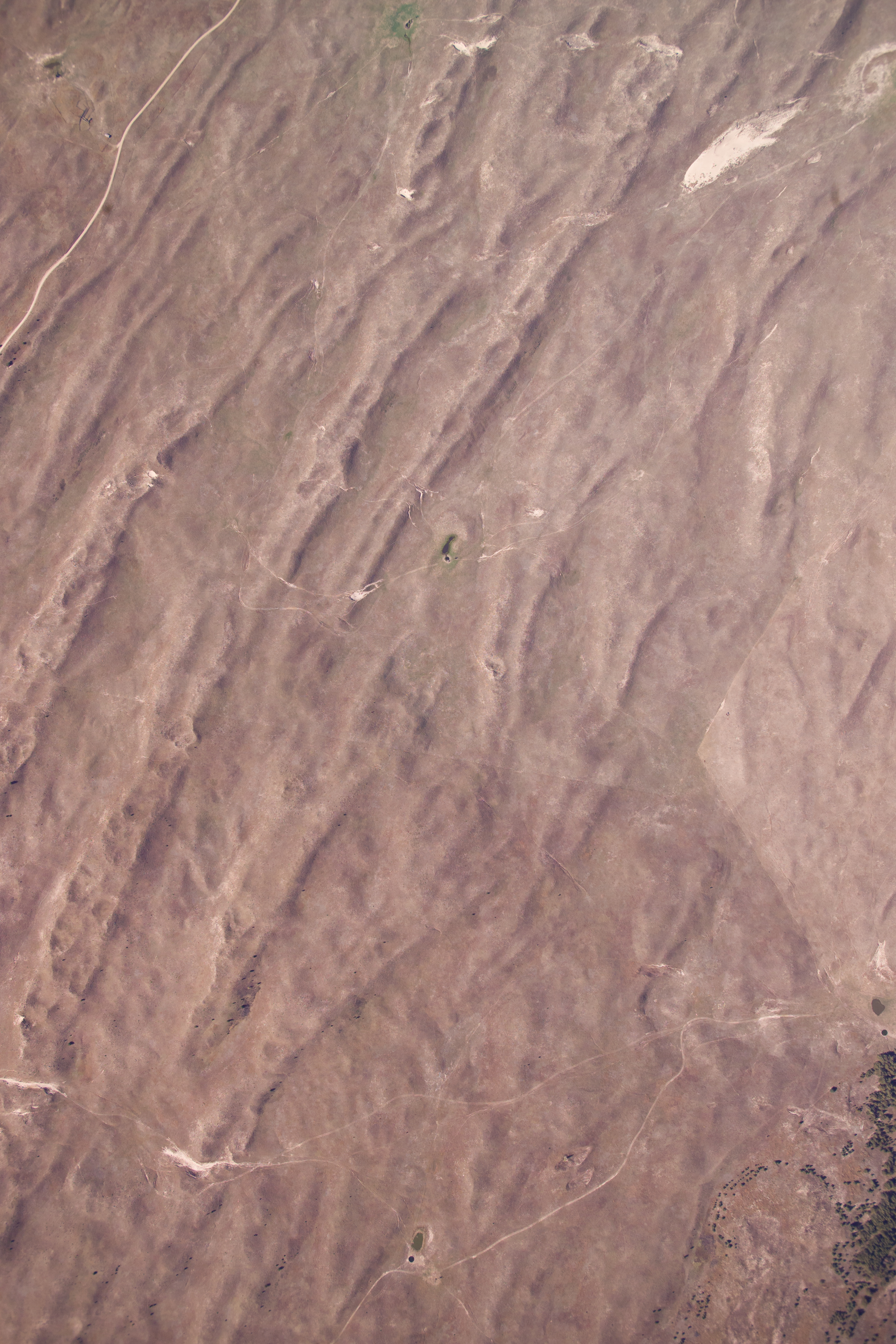
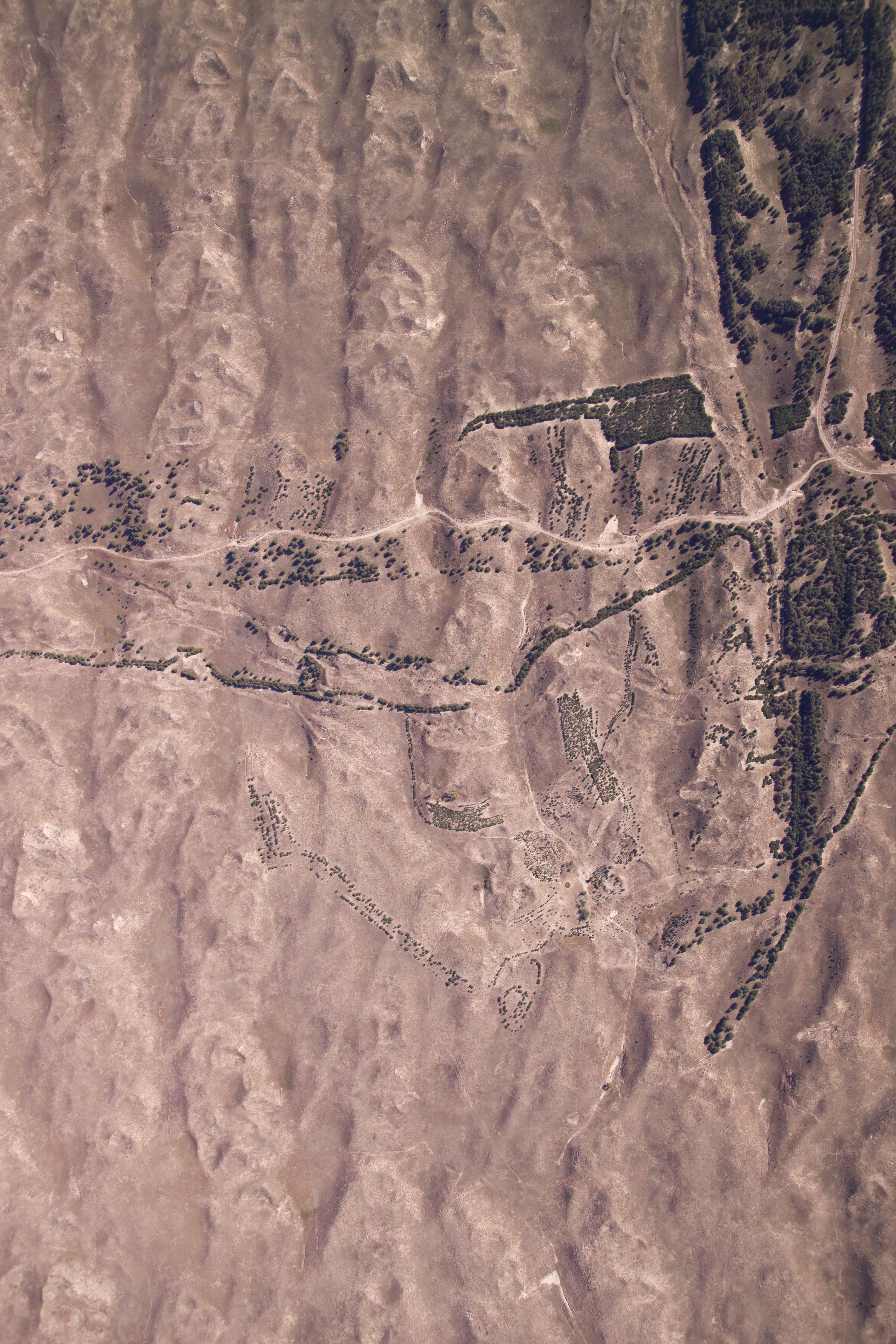
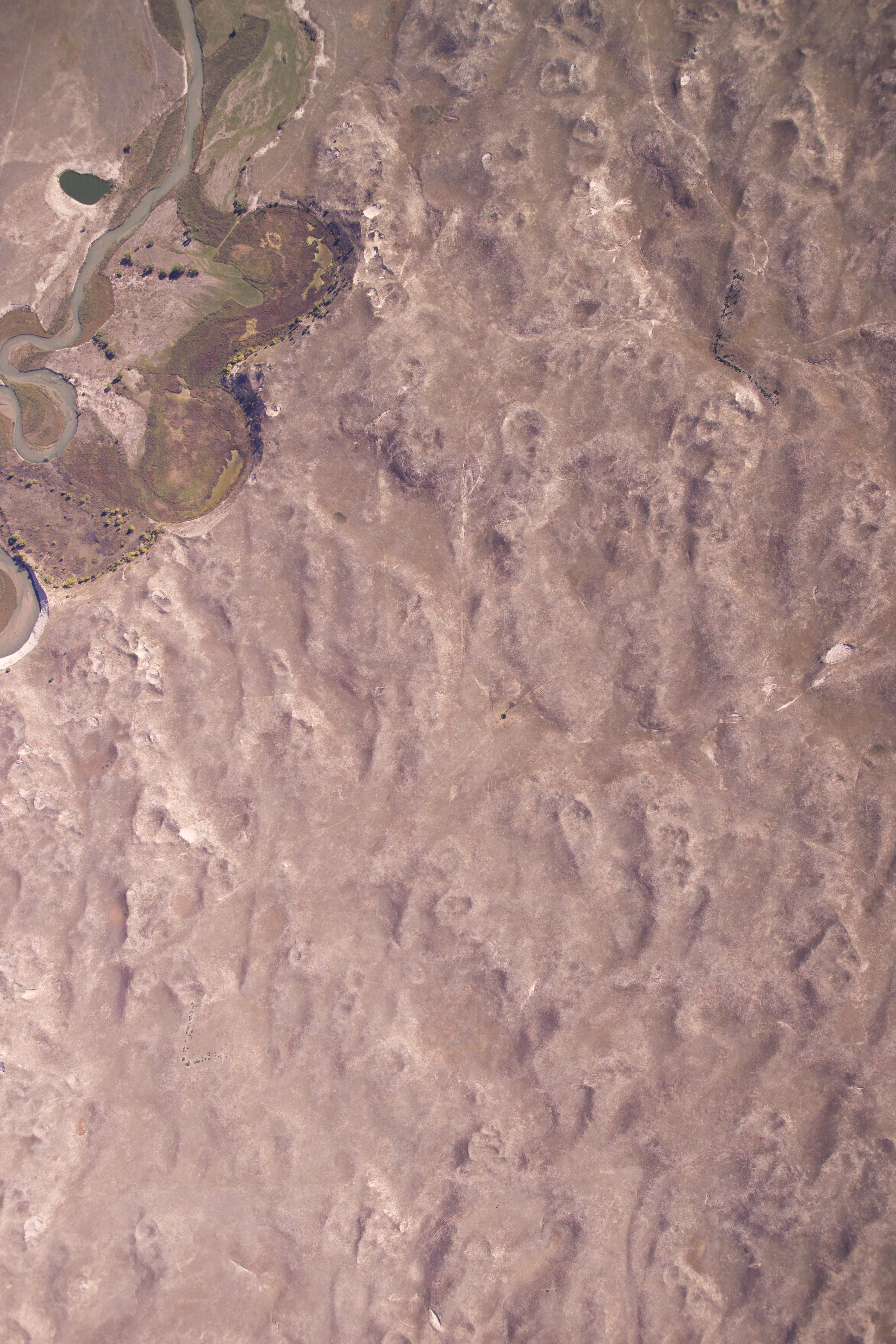
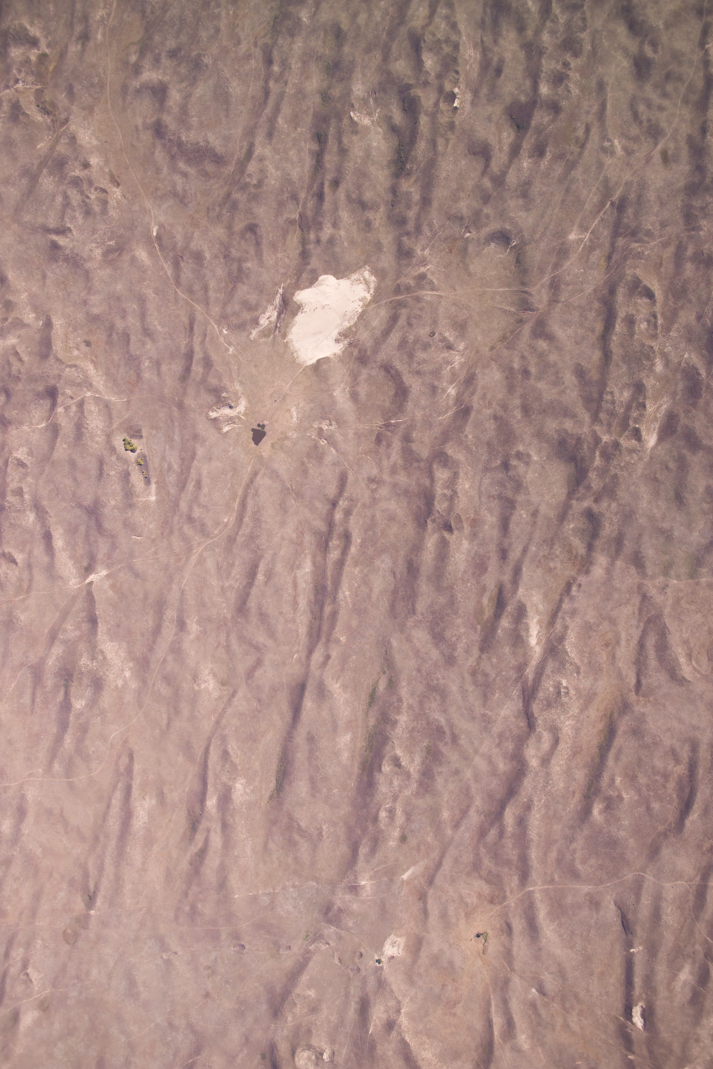
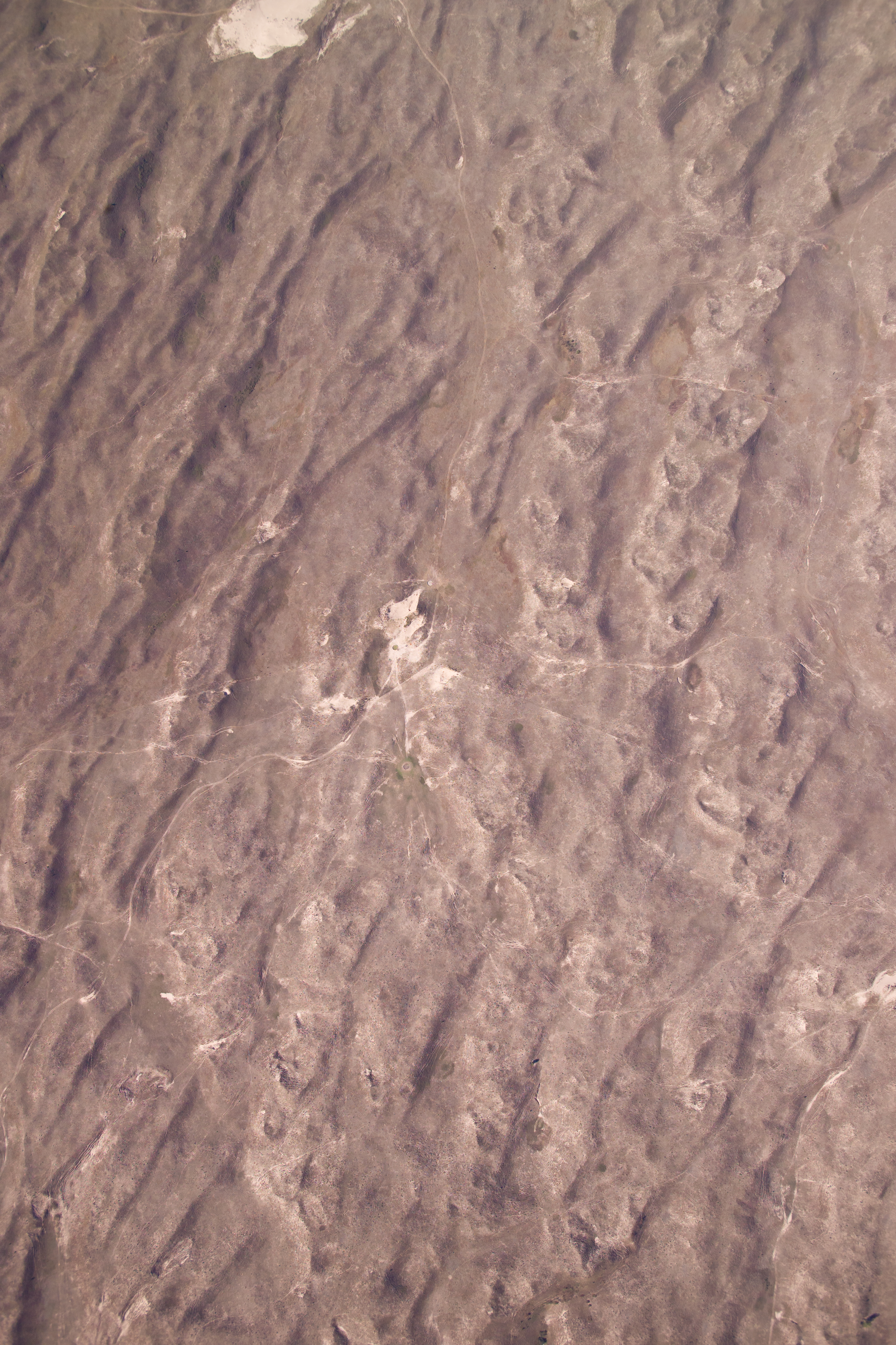
Aerial Photograph, Nebraska National Forest - Bessey and Vicinity
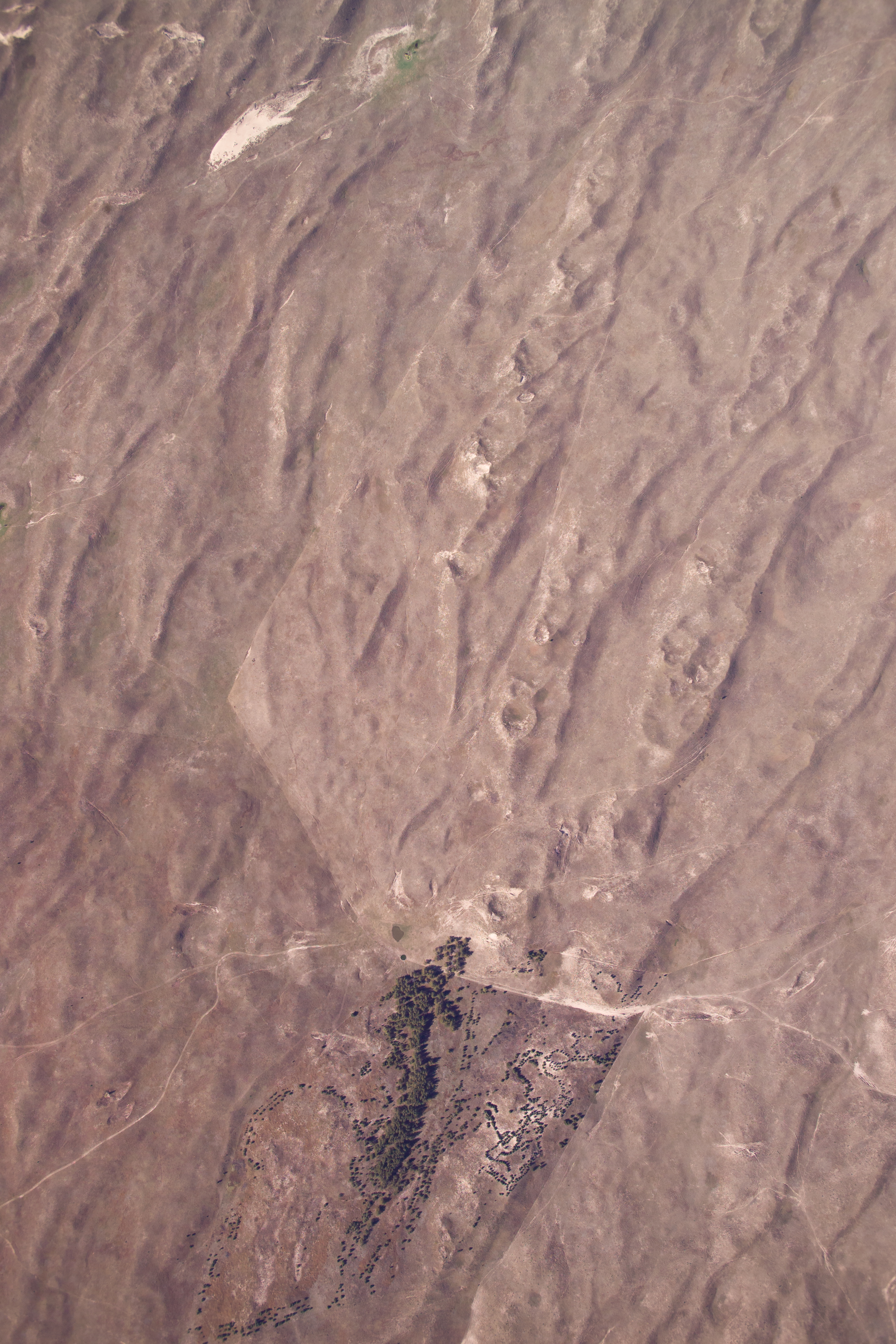
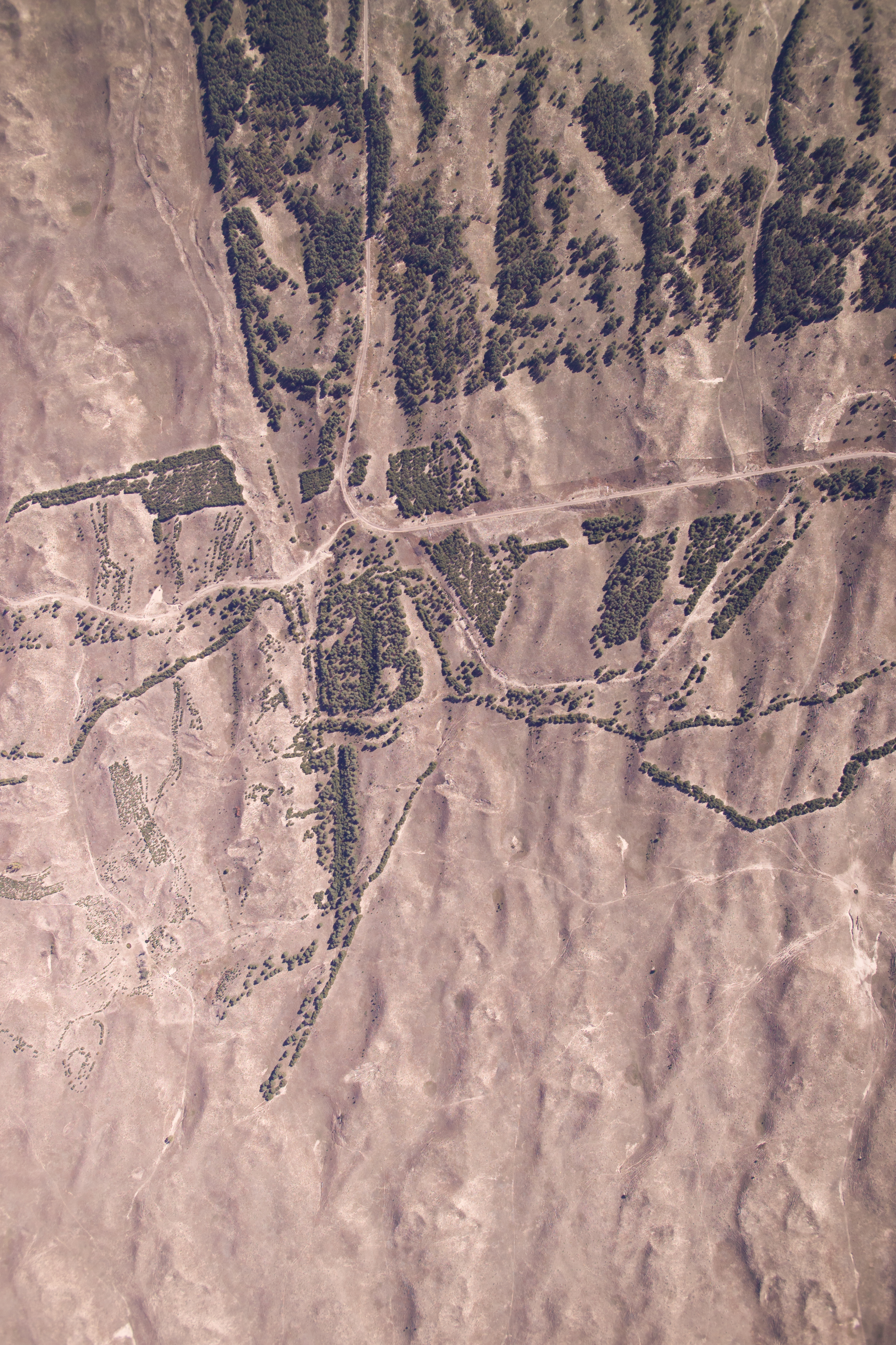
Aerial Photograph, Nebraska National Forest - Bessey and Vicinity
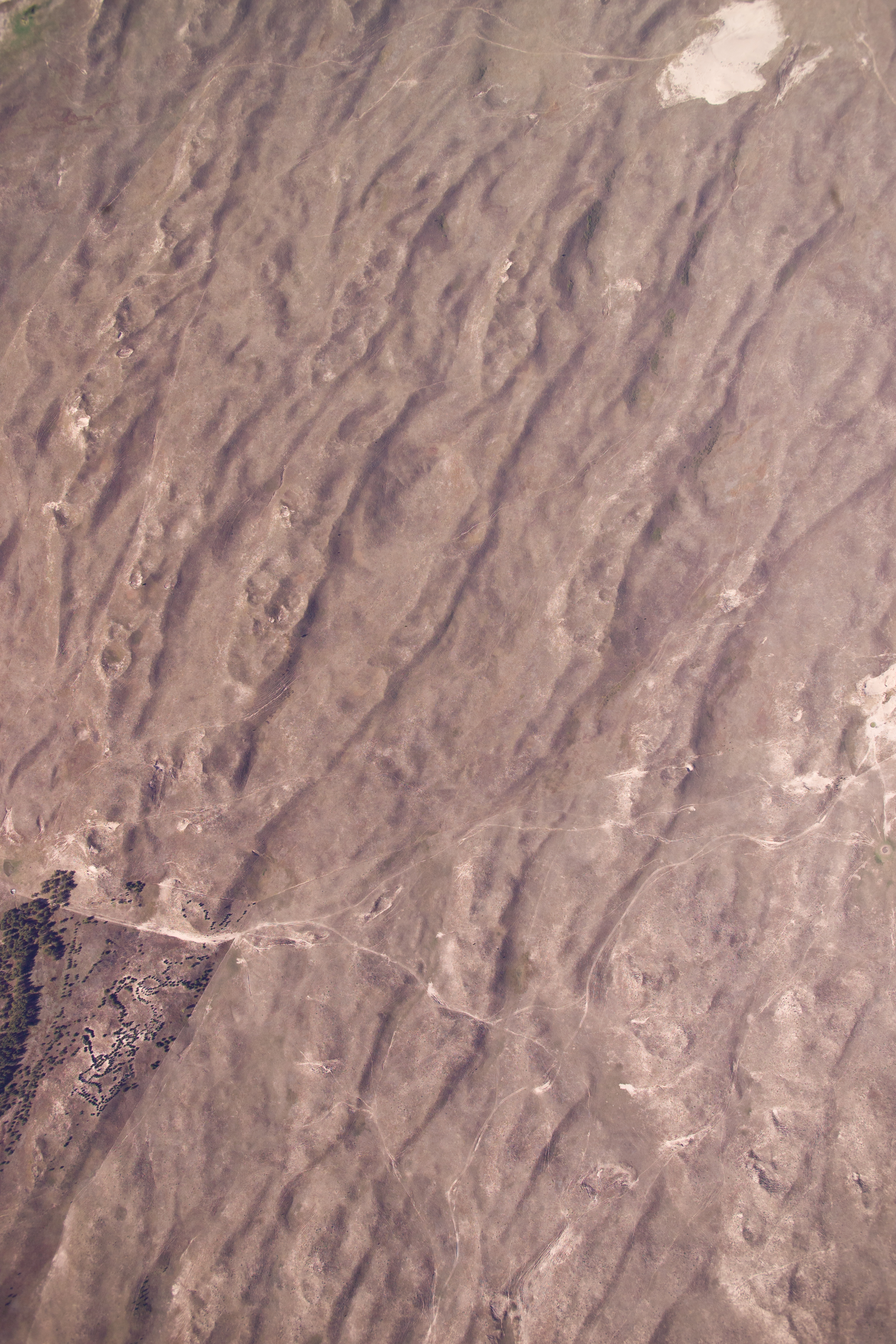
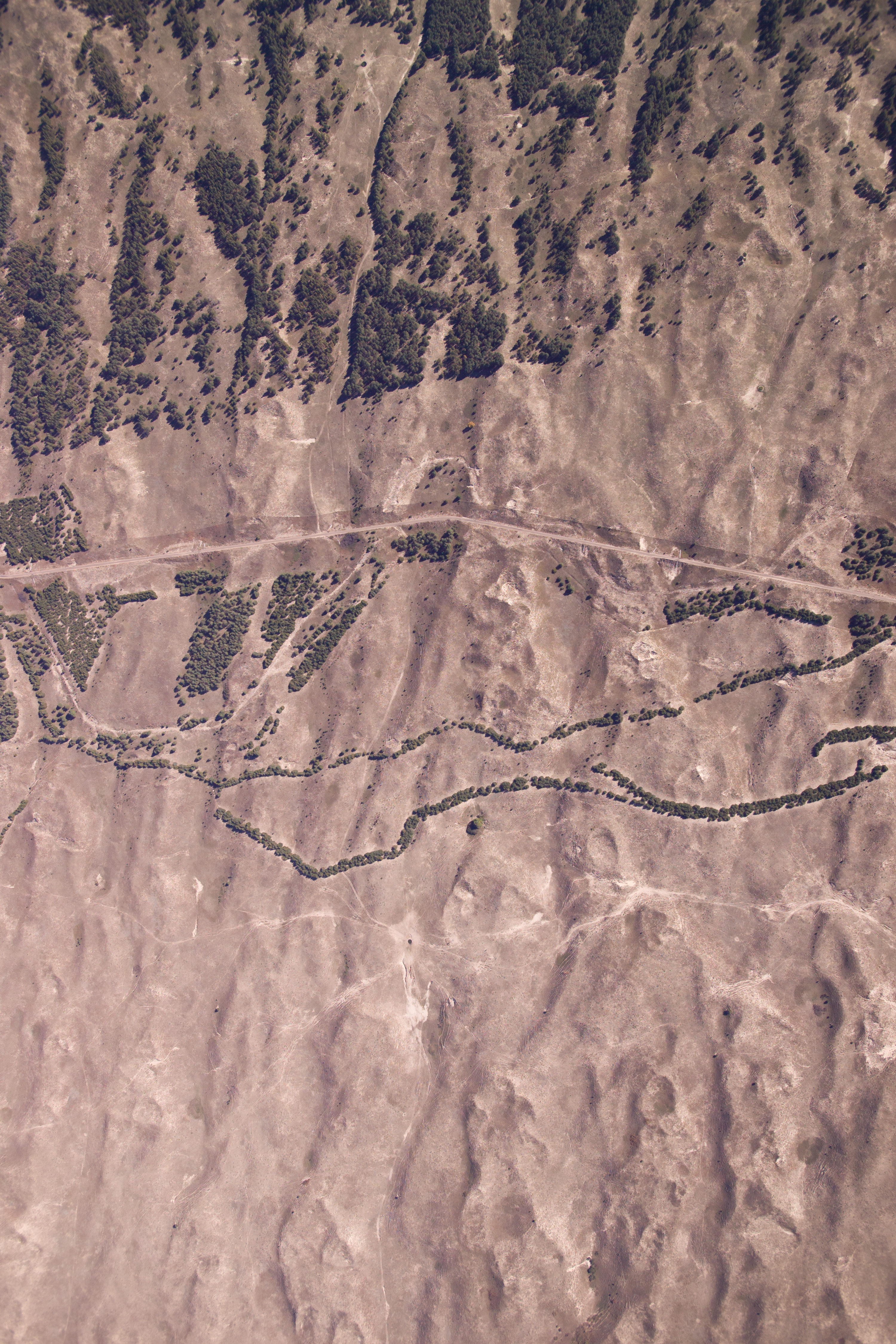
Aerial Photograph, Nebraska National Forest - Bessey and Vicinity

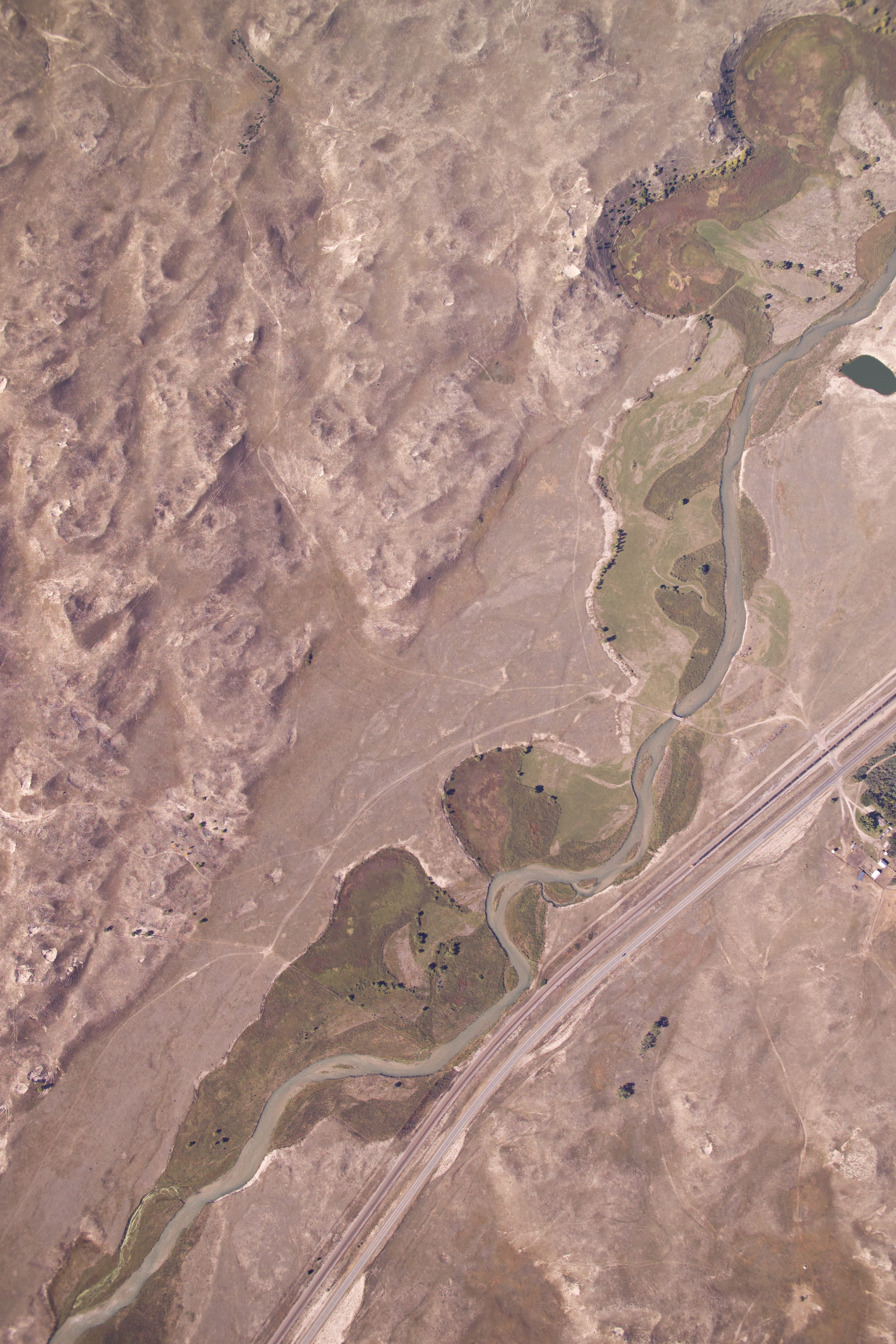
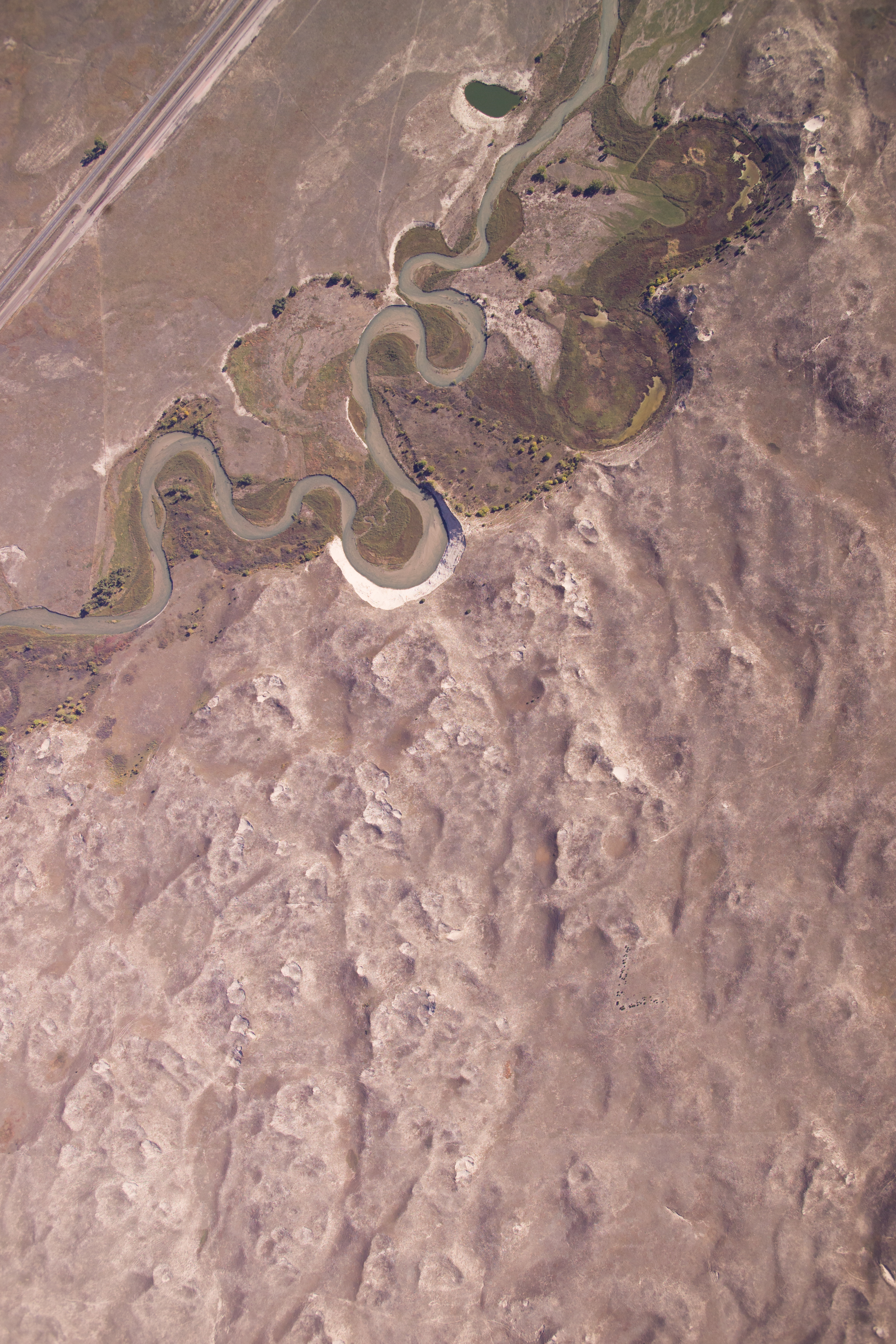
Aerial Photograph, Nebraska National Forest - Bessey and Vicinity

Aerial Photograph, Nebraska National Forest - Bessey and Vicinity
Aerial Photograph, Nebraska National Forest - Bessey and Vicinity
Aerial Photograph, Nebraska National Forest - Bessey and Vicinity
Aerial Photograph, Nebraska National Forest - Bessey and Vicinity
Aerial Photograph, Nebraska National Forest - Bessey and Vicinity
Aerial Photograph, Nebraska National Forest - Bessey and Vicinity
Aerial Photograph, Nebraska National Forest - Bessey and Vicinity
Aerial Photograph, Nebraska National Forest - Bessey and Vicinity
20150711-DSC_2789_HDR-2.jpg
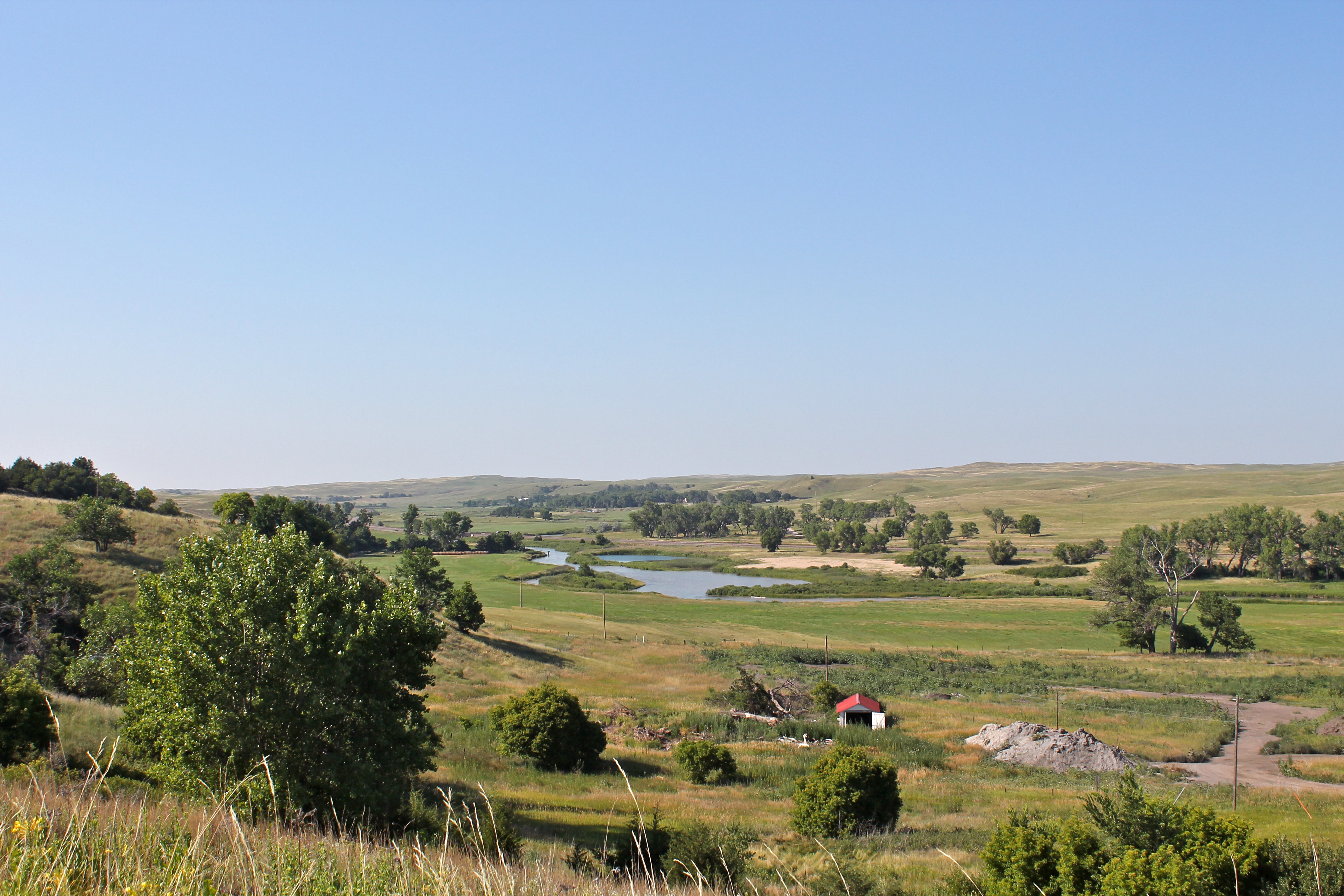
Middle Loup River

Sandhills Journey Scenic Byway
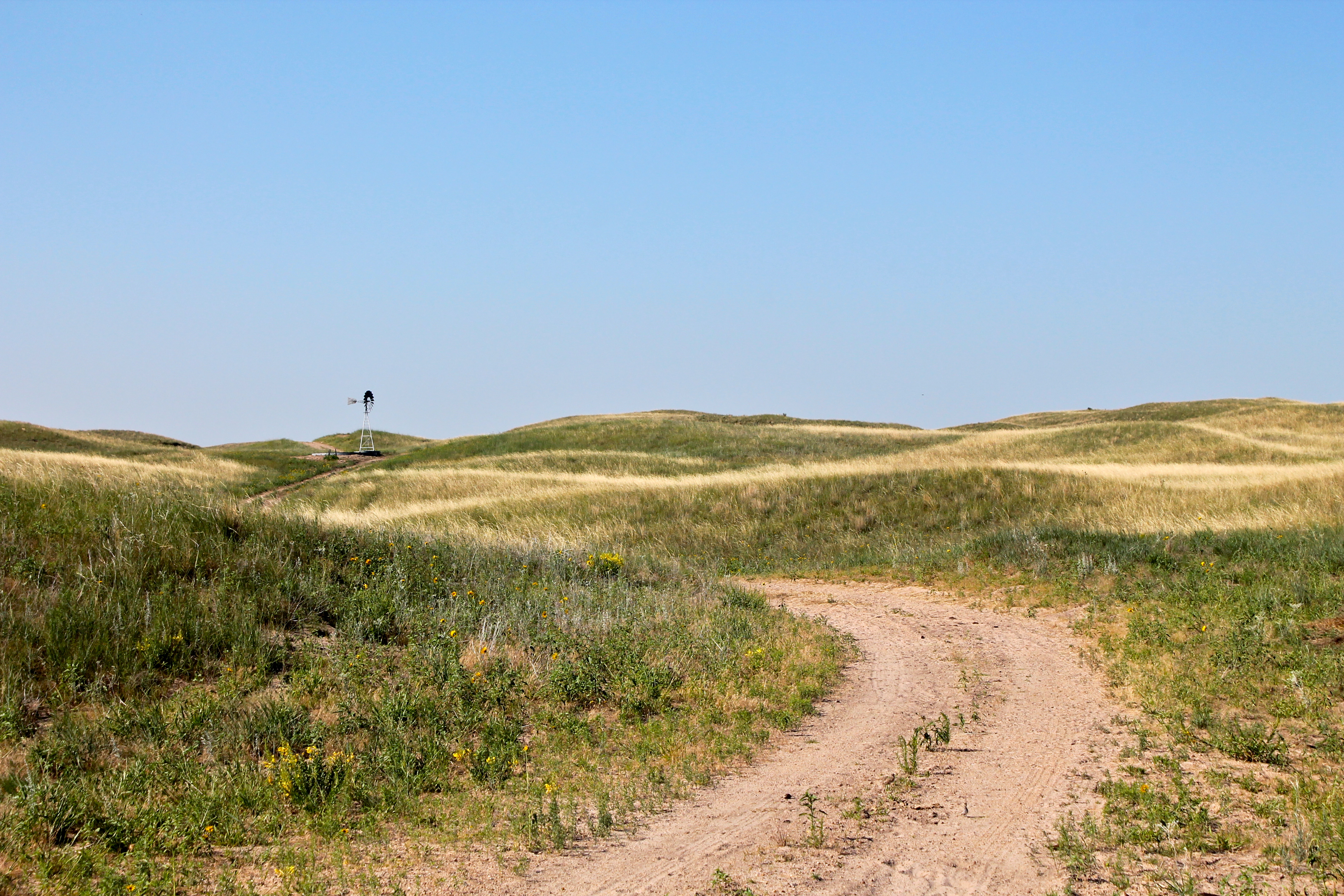
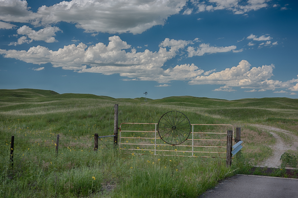
Nebraska Sandhills
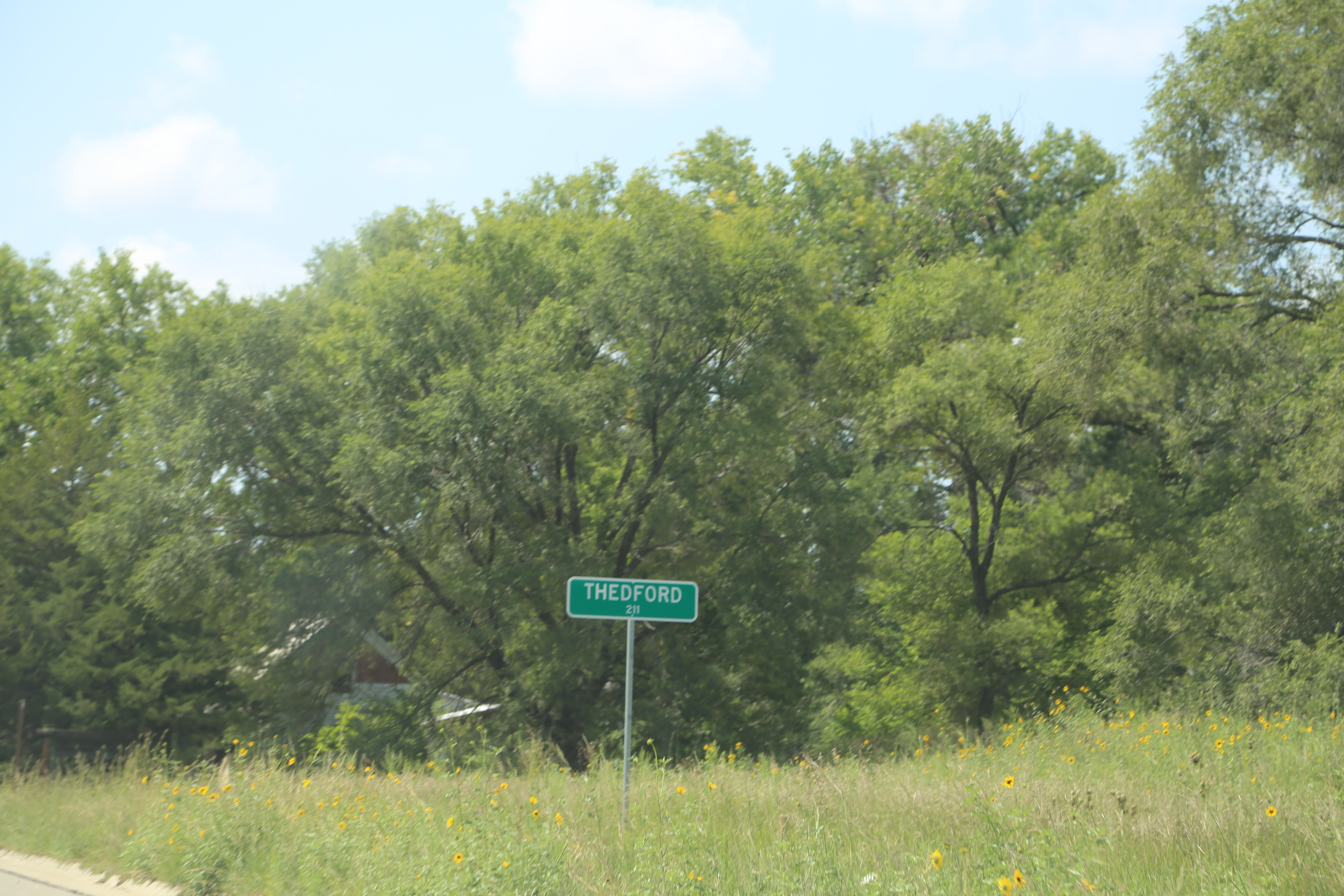
Thedford Nebraska, Thomas County NE
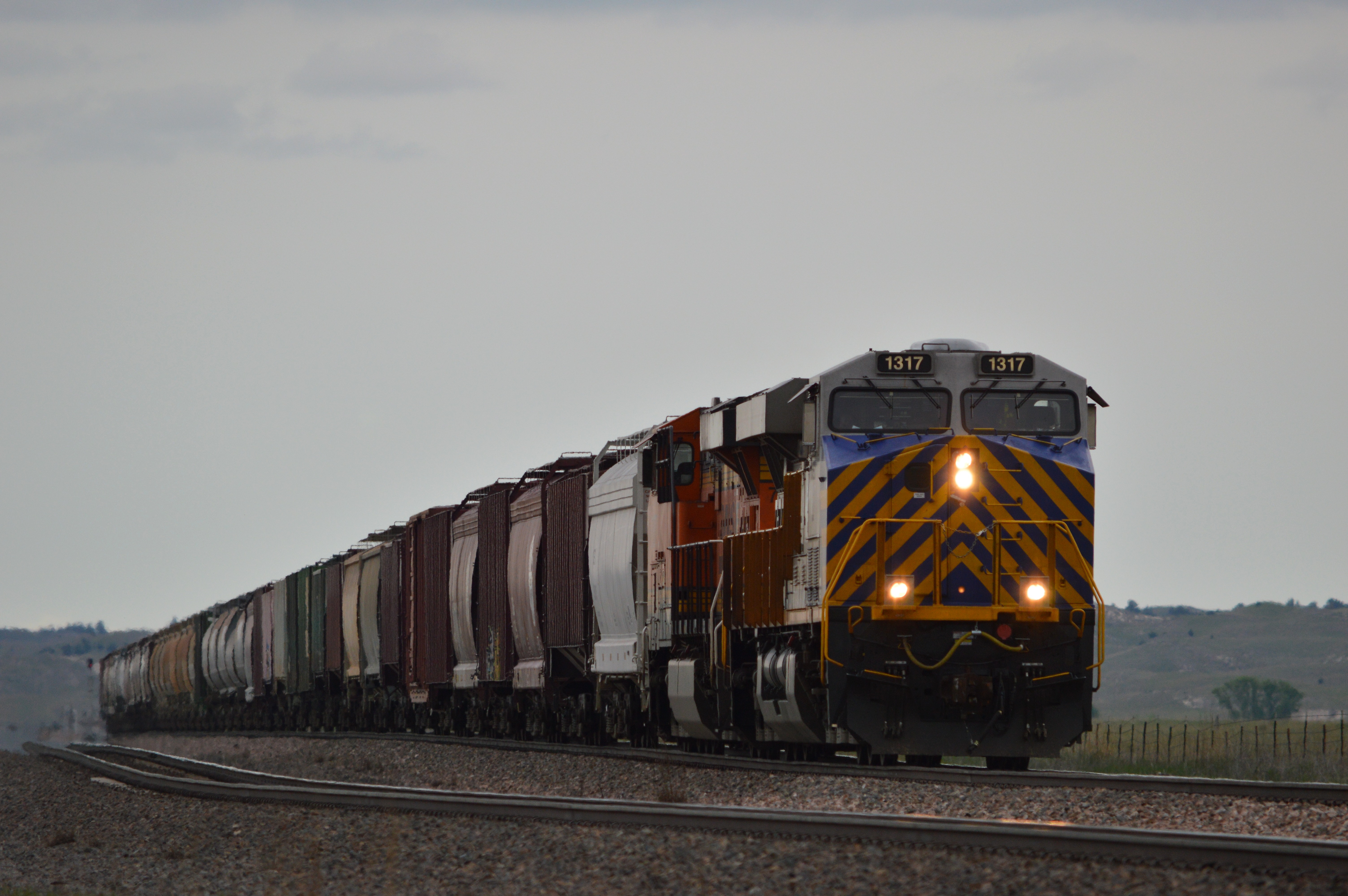
This train has a lease unit up front ,still odd to see considering at the time BNSF had hundreds of locomotives stored, Thedford Nebraska

Main line power move, a bunch of locos pass by at Thedford Nebraska, BNSF Angora Subdivision.
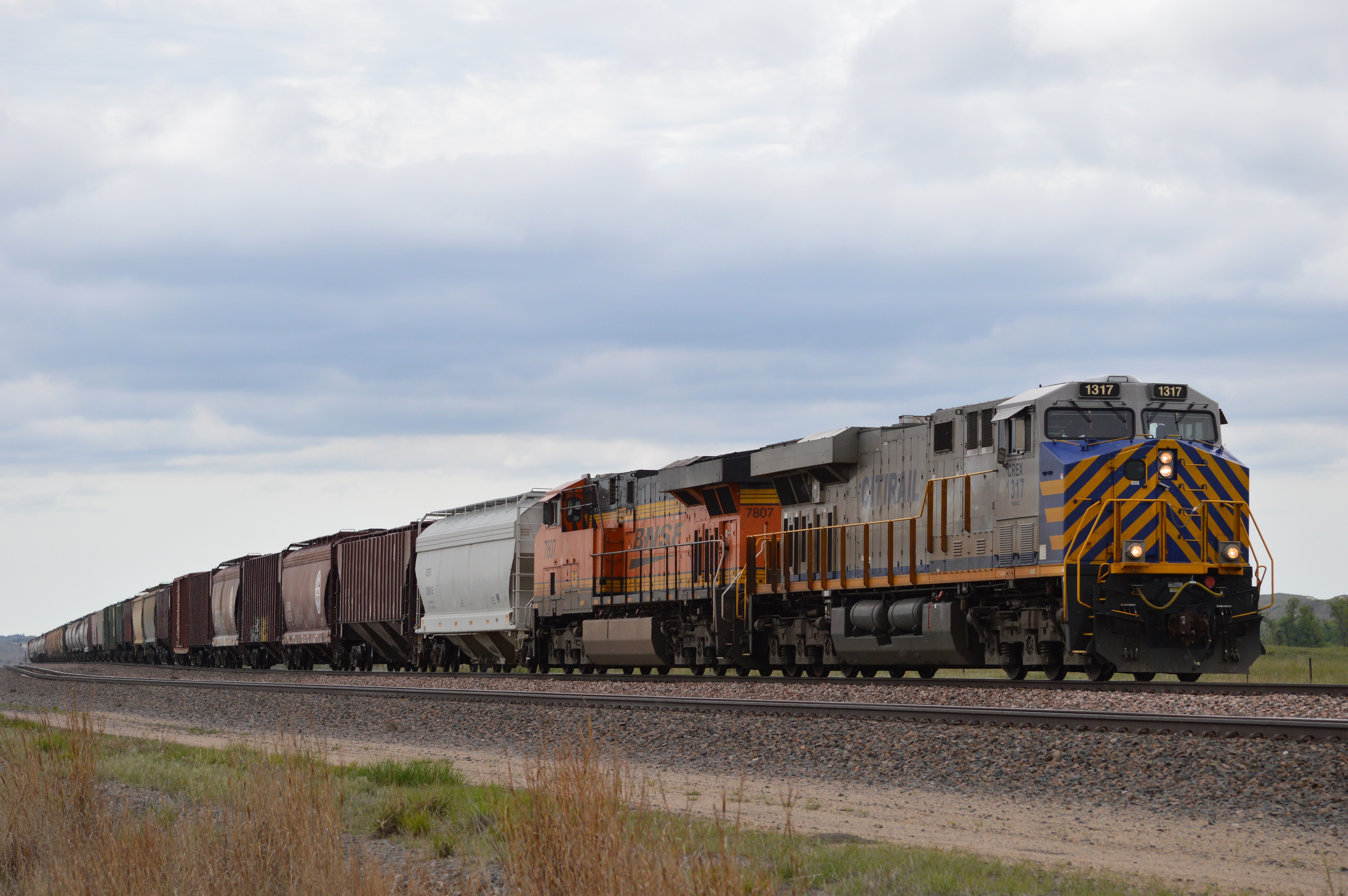
Grain train , Thedford Nebraska
Aerial Photograph, Nebraska National Forest - Bessey and Vicinity
Thedford, Nebraska, USA Karte
Suchen Sie einen anderen Ort
Nahe Plätze
Thedford, NE, USA
Thomas County, Nebraska, USA
Natick, NE, USA
Bessey Recreation Complex Campground, Halsey, NE, USA
Halsey, Nebraska, USA
Logan County, Nebraska, USA
Stapleton, Nebraska, USA
Tryon, NE, USA
Arnold Township, Nebraska, USA
Arnold, NE, USA
Hall, NE, USA
North Platte, NE, NE, USA
North Platte, Nebraska, USA
Anselmo, Nebraska, USA
Nebraska, USA
North Platte, Nebraska, USA
North Platte, NE, USA
East E Street, North Platte, NE, USA
North Game Trail Road, N Game Trail Rd, Nebraska, USA
Birchwood Rd, North Platte, NE, USA
Letzte Suche
- Red Dog Mine, AK, USA Sonnenaufgang Sonnenuntergang Zeiten
- Am Bahnhof, Am bhf, Borken, Germany Sonnenaufgang Sonnenuntergang Zeiten
- 4th St E, Sonoma, CA, USA Sonnenaufgang Sonnenuntergang Zeiten
- Oakland Ave, Williamsport, PA, USA Sonnenaufgang Sonnenuntergang Zeiten
- Via Roma, Pieranica CR, Italien Sonnenaufgang Sonnenuntergang Zeiten
- Glockenturm, Grad, Dubrovnik, Kroatien Sonnenaufgang Sonnenuntergang Zeiten
- Trelew, Chubut Province, Argentina Sonnenaufgang Sonnenuntergang Zeiten
- Hartfords Bluff Cir, Mt Pleasant, SC, USA Sonnenaufgang Sonnenuntergang Zeiten
- Kita-ku, Kumamoto, Präfektur Kumamoto, Japan Sonnenaufgang Sonnenuntergang Zeiten
- Pingtan Island, Pingtan County, Fuzhou, China Sonnenaufgang Sonnenuntergang Zeiten