| Zeitzone: | Paraguayische Normalzeit |
|---|---|
| Ortszeit: | Mittwoch, 11. November 2026 10:06 |
| Länge: | -61.0006565 |
| Breite: | -21.0002179 |
| Sonnenaufgang Heute: | 06:17:56 |
| Sonnenuntergang Heute: | 19:20:49 |
| Tageslänge heute: | 13h 2m 53s |
| Sonnenaufgang morgen: | 06:17:36 |
| Sonnenuntergang Morgen: | 19:21:26 |
| Tageslänge von morgen: | 13h 3m 49s |
: Alle Termine anzeigen
| Datum | Sonnenaufgang | Sonnenuntergang | Tageslänge |
|---|---|---|---|
| 1. Jan. 2026 | 06:26:37 | 19:49:48 | 13h 23m 11s |
| 1. Feb. 2026 | 06:47:18 | 19:50:02 | 13h 2m 43s |
| 1. März 2026 | 07:02:07 | 19:33:57 | 12h 31m 49s |
| 1. Apr. 2026 | 07:12:10 | 19:06:31 | 11h 54m 21s |
| 1. Mai 2026 | 07:21:57 | 18:42:53 | 11h 20m 55s |
| 1. Juni 2026 | 07:34:47 | 18:31:29 | 10h 56m 41s |
| 1. Juli 2026 | 07:42:41 | 18:34:54 | 10h 52m 12s |
| 1. Aug. 2026 | 07:36:55 | 18:46:16 | 11h 9m 21s |
| 1. Sep. 2026 | 07:15:38 | 18:56:07 | 11h 40m 29s |
| 1. Okt. 2026 | 06:47:23 | 19:03:08 | 12h 15m 45s |
| 1. Nov. 2026 | 06:23:00 | 19:14:41 | 12h 51m 41s |
| 11. Nov. 2026 | 06:18:18 | 19:20:14 | 13h 1m 55s |
| 12. Nov. 2026 | 06:17:56 | 19:20:49 | 13h 2m 53s |
| 1. Dez. 2026 | 06:15:12 | 19:33:04 | 13h 17m 52s |
Fotos von Sonnenaufgang und Sonnenuntergang

Lonely watcher by elbetobm 23,500,000 views

SUNLIGHT by elbetobm 23,500,000 views

SUN EMBRACE by elbetobm 23,500,000 views

Mormon Row [Explore] by Dan@propeakphotography

Easter Island Mystery by .WorldCoup.

*Mono Lake @ early morning light* by Albert Wirtz @ Landscape and Nature Photography

Arisen by Jay Daley

Sunrise at the Pier by Salt Wizard

Sunrise from the Summit at Pico da Bandeira (Flag Peak) at 2,892 m (9,488 ft) MSL, Caparaó National Park, on the border between the municipalities of Ibitirama (Espírito Santo State) and Alto Caparaó by ER's Eyes - Our planet is so beautiful.

Sky Red by Jay Daley

Cape Kiwanda, Oregon by Bonnie Moreland (free images)

Sunrise from the Summit at Pico da Bandeira (Flag Peak) at 2,892 m (9,488 ft) MSL, Caparaó National Park, on the border between the municipalities of Ibitirama (Espírito Santo State) and Alto Caparaó by ER's Eyes - Our planet is so beautiful.

Waiting the sunrise in salar de Uyuni by syssy70

Dramatic Sunset Panorama at Horseshoe Bend, Arizona by W_von_S

*Coyote Buttes South reflections* by Albert Wirtz @ Landscape and Nature Photography

Amazing Sunrise - Anza Borrego Desert State Park, California by W_von_S

Sunrise at Monument Valley by W_von_S

Sunrise at 4,321 meters (14,176.51 ft) above sea level, el Tatio Geothermal Field (Geysers), Calama, Chile. by ER's Eyes - Our planet is so beautiful.

good morning by don.white55

Beautiful Sunrise at Great Sand Dunes National Park, Colorado by W_von_S

Poetry in Light - Sunrise at Mesquite Flat Dunes - Death Valley National Park, California by W_von_S
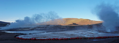
El Tatio Geothermal Field (Geysers) at 4,321 meters (14,176.51 ft) above sea level, Calama, Chile. by ER's Eyes - Our planet is so beautiful.

Siloli Desert by aivar.mikko

Mesa Arch "Sunrise" by W_von_S

"Sunlit Eastern Meadowlark" by Gary Helm

Above the Clouds by W_von_S

Siloli Desert by aivar.mikko

Peaceful Vista by Dan@propeakphotography

Sunrise Works Its Way into the Canyon by Dan@propeakphotography

Sunset in the spectacular Vista Hermosa (restaurant - 'Lovely View'), Quito´s Historic Center at an elevation of 2,850 metres (9,350 ft) above sea level, Ecuador. by ER's Eyes - Our planet is so beautiful.

Cusco Sunrise by C. Dastodd

The Amazing Torres Del Paine in Patagonia, Chile, South America, Earth. Christine Phillips by Christine's Phillips (Christine Phillips Photos) -

Rainy Sunrise at Monument Valley, Arizona by W_von_S

*Cottonwood Teepies in the light of the rising sun* by Albert Wirtz @ Landscape and Nature Photography

A silueta dos cavalos by Eduardo Amorim

Sunbeam by myoldpostcards

Magical Morning Mist in Sierra Nevada - Colombia #2 (Panorama) by danielrosenfryd
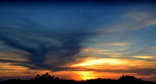
Uruguaiana-RS, Brasil by Eduardo Amorim

Passat by Andreas Mundt ( roquesgallery )

Colorful Sunrise at Goblin Valley - Utah by W_von_S

Cerro Velho, Dom Pedrito by Eduardo Amorim
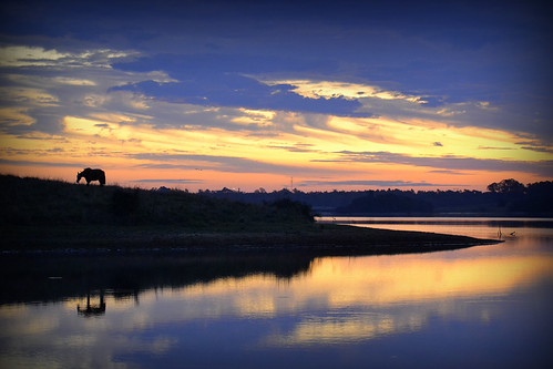
Noite adentro by Eduardo Amorim

Florianópolis - Sunset by Dircinha -

Ushaia Light by [CamCam]
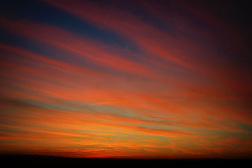
Estradas no céu by Eduardo Amorim

And suddenly, a pink stripe by marko.erman

Sky explosion by Thomas Retterath

first sunrise of 2024 by xthylacine
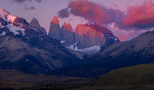
Sunrise Torres by Thomas Retterath

Misti and Chachani volcanoesDSC00343px by marko.erman

Atlantic Sunrise by hapulcu

Basilica Cathedral of Arequipa just before sunset by marko.erman
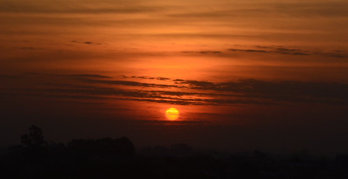
Brasino by Eduardo Amorim

georgia pines + reflection by xthylacine

birches on wet rocks - Birken auf nassem Fels by ralfkai41

Badlands National Park is in South Dakota - Nearest City Rapid City - Historic Site America by Bill Badzo 212.5 Millons Views

Sunset na Praia do Pântano do Sul - Florianópolis by Dircinha -

Amanhã vai ser outro dia by Eduardo Amorim

Spring of the Pita River, Páramo (Grassland), Downhill Mountain Biking on Cotopaxi Volcano at 3,760 meters (12,335 ft), Park in Parque Nacional Cotopaxi, Ecuador. by ER's Eyes - Our planet is so beautiful.

“Everything has its wonders, even darkness and silence, and I learn, whatever state I may be in, therein to be content” - Helen Keller by South of the Border Gringo Photography