Skyline Road, Skyline Rd, Grassy Creek, NC, USA Sonnenaufgang Sonnenuntergang Zeiten
Location: USA > North Carolina > Mitchell County > Grassy Creek > Spruce Pine >
Zeitzone:
America/New_York
Ortszeit:
2025-06-22 21:30:40
Länge:
-82.1280172
Breite:
35.8623496
Sonnenaufgang Heute:
06:13:09 AM
Sonnenuntergang Heute:
08:48:39 PM
Tageslänge heute:
14h 35m 30s
Sonnenaufgang morgen:
06:13:27 AM
Sonnenuntergang Morgen:
08:48:47 PM
Tageslänge von morgen:
14h 35m 20s
Alle Termine anzeigen
| Datum | Sonnenaufgang | Sonnenuntergang | Tageslänge |
|---|---|---|---|
| 2025-01-01 | 07:38:51 AM | 05:26:25 PM | 9h 47m 34s |
| 2025-01-02 | 07:38:58 AM | 05:27:13 PM | 9h 48m 15s |
| 2025-01-03 | 07:39:03 AM | 05:28:02 PM | 9h 48m 59s |
| 2025-01-04 | 07:39:06 AM | 05:28:53 PM | 9h 49m 47s |
| 2025-01-05 | 07:39:07 AM | 05:29:44 PM | 9h 50m 37s |
| 2025-01-06 | 07:39:07 AM | 05:30:37 PM | 9h 51m 30s |
| 2025-01-07 | 07:39:04 AM | 05:31:30 PM | 9h 52m 26s |
| 2025-01-08 | 07:38:59 AM | 05:32:24 PM | 9h 53m 25s |
| 2025-01-09 | 07:38:53 AM | 05:33:20 PM | 9h 54m 27s |
| 2025-01-10 | 07:38:44 AM | 05:34:16 PM | 9h 55m 32s |
| 2025-01-11 | 07:38:33 AM | 05:35:12 PM | 9h 56m 39s |
| 2025-01-12 | 07:38:21 AM | 05:36:10 PM | 9h 57m 49s |
| 2025-01-13 | 07:38:07 AM | 05:37:08 PM | 9h 59m 1s |
| 2025-01-14 | 07:37:50 AM | 05:38:07 PM | 10h 0m 17s |
| 2025-01-15 | 07:37:32 AM | 05:39:06 PM | 10h 1m 34s |
| 2025-01-16 | 07:37:12 AM | 05:40:06 PM | 10h 2m 54s |
| 2025-01-17 | 07:36:50 AM | 05:41:06 PM | 10h 4m 16s |
| 2025-01-18 | 07:36:26 AM | 05:42:07 PM | 10h 5m 41s |
| 2025-01-19 | 07:36:00 AM | 05:43:08 PM | 10h 7m 8s |
| 2025-01-20 | 07:35:32 AM | 05:44:10 PM | 10h 8m 38s |
| 2025-01-21 | 07:35:03 AM | 05:45:12 PM | 10h 10m 9s |
| 2025-01-22 | 07:34:31 AM | 05:46:14 PM | 10h 11m 43s |
| 2025-01-23 | 07:33:58 AM | 05:47:16 PM | 10h 13m 18s |
| 2025-01-24 | 07:33:23 AM | 05:48:19 PM | 10h 14m 56s |
| 2025-01-25 | 07:32:47 AM | 05:49:21 PM | 10h 16m 34s |
| 2025-01-26 | 07:32:08 AM | 05:50:24 PM | 10h 18m 16s |
| 2025-01-27 | 07:31:28 AM | 05:51:27 PM | 10h 19m 59s |
| 2025-01-28 | 07:30:46 AM | 05:52:30 PM | 10h 21m 44s |
| 2025-01-29 | 07:30:03 AM | 05:53:33 PM | 10h 23m 30s |
| 2025-01-30 | 07:29:18 AM | 05:54:36 PM | 10h 25m 18s |
| 2025-01-31 | 07:28:31 AM | 05:55:39 PM | 10h 27m 8s |
| 2025-02-01 | 07:27:43 AM | 05:56:41 PM | 10h 28m 58s |
| 2025-02-02 | 07:26:54 AM | 05:57:44 PM | 10h 30m 50s |
| 2025-02-03 | 07:26:02 AM | 05:58:47 PM | 10h 32m 45s |
| 2025-02-04 | 07:25:10 AM | 05:59:49 PM | 10h 34m 39s |
| 2025-02-05 | 07:24:16 AM | 06:00:51 PM | 10h 36m 35s |
| 2025-02-06 | 07:23:20 AM | 06:01:53 PM | 10h 38m 33s |
| 2025-02-07 | 07:22:23 AM | 06:02:55 PM | 10h 40m 32s |
| 2025-02-08 | 07:21:25 AM | 06:03:57 PM | 10h 42m 32s |
| 2025-02-09 | 07:20:25 AM | 06:04:58 PM | 10h 44m 33s |
| 2025-02-10 | 07:19:24 AM | 06:06:00 PM | 10h 46m 36s |
| 2025-02-11 | 07:18:22 AM | 06:07:01 PM | 10h 48m 39s |
| 2025-02-12 | 07:17:19 AM | 06:08:01 PM | 10h 50m 42s |
| 2025-02-13 | 07:16:14 AM | 06:09:02 PM | 10h 52m 48s |
| 2025-02-14 | 07:15:09 AM | 06:10:02 PM | 10h 54m 53s |
| 2025-02-15 | 07:14:02 AM | 06:11:01 PM | 10h 56m 59s |
| 2025-02-16 | 07:12:54 AM | 06:12:01 PM | 10h 59m 7s |
| 2025-02-17 | 07:11:45 AM | 06:13:00 PM | 11h 1m 15s |
| 2025-02-18 | 07:10:35 AM | 06:13:59 PM | 11h 3m 24s |
| 2025-02-19 | 07:09:24 AM | 06:14:57 PM | 11h 5m 33s |
| 2025-02-20 | 07:08:12 AM | 06:15:55 PM | 11h 7m 43s |
| 2025-02-21 | 07:06:59 AM | 06:16:53 PM | 11h 9m 54s |
| 2025-02-22 | 07:05:45 AM | 06:17:51 PM | 11h 12m 6s |
| 2025-02-23 | 07:04:30 AM | 06:18:48 PM | 11h 14m 18s |
| 2025-02-24 | 07:03:15 AM | 06:19:44 PM | 11h 16m 29s |
| 2025-02-25 | 07:01:58 AM | 06:20:41 PM | 11h 18m 43s |
| 2025-02-26 | 07:00:41 AM | 06:21:37 PM | 11h 20m 56s |
| 2025-02-27 | 06:59:23 AM | 06:22:33 PM | 11h 23m 10s |
| 2025-02-28 | 06:58:05 AM | 06:23:28 PM | 11h 25m 23s |
| 2025-03-01 | 06:56:45 AM | 06:24:24 PM | 11h 27m 39s |
| 2025-03-02 | 06:55:26 AM | 06:25:18 PM | 11h 29m 52s |
| 2025-03-03 | 06:54:05 AM | 06:26:13 PM | 11h 32m 8s |
| 2025-03-04 | 06:52:44 AM | 06:27:07 PM | 11h 34m 23s |
| 2025-03-05 | 06:51:22 AM | 06:28:01 PM | 11h 36m 39s |
| 2025-03-06 | 06:50:00 AM | 06:28:55 PM | 11h 38m 55s |
| 2025-03-07 | 06:48:37 AM | 06:29:48 PM | 11h 41m 11s |
| 2025-03-08 | 06:47:14 AM | 06:30:42 PM | 11h 43m 28s |
| 2025-03-09 | 07:45:54 AM | 07:31:32 PM | 11h 45m 38s |
| 2025-03-10 | 07:44:30 AM | 07:32:25 PM | 11h 47m 55s |
| 2025-03-11 | 07:43:06 AM | 07:33:17 PM | 11h 50m 11s |
| 2025-03-12 | 07:41:41 AM | 07:34:10 PM | 11h 52m 29s |
| 2025-03-13 | 07:40:16 AM | 07:35:02 PM | 11h 54m 46s |
| 2025-03-14 | 07:38:51 AM | 07:35:53 PM | 11h 57m 2s |
| 2025-03-15 | 07:37:25 AM | 07:36:45 PM | 11h 59m 20s |
| 2025-03-16 | 07:35:59 AM | 07:37:36 PM | 12h 1m 37s |
| 2025-03-17 | 07:34:33 AM | 07:38:27 PM | 12h 3m 54s |
| 2025-03-18 | 07:33:07 AM | 07:39:18 PM | 12h 6m 11s |
| 2025-03-19 | 07:31:41 AM | 07:40:09 PM | 12h 8m 28s |
| 2025-03-20 | 07:30:15 AM | 07:41:00 PM | 12h 10m 45s |
| 2025-03-21 | 07:28:48 AM | 07:41:51 PM | 12h 13m 3s |
| 2025-03-22 | 07:27:22 AM | 07:42:41 PM | 12h 15m 19s |
| 2025-03-23 | 07:25:55 AM | 07:43:32 PM | 12h 17m 37s |
| 2025-03-24 | 07:24:29 AM | 07:44:22 PM | 12h 19m 53s |
| 2025-03-25 | 07:23:02 AM | 07:45:12 PM | 12h 22m 10s |
| 2025-03-26 | 07:21:36 AM | 07:46:02 PM | 12h 24m 26s |
| 2025-03-27 | 07:20:10 AM | 07:46:52 PM | 12h 26m 42s |
| 2025-03-28 | 07:18:44 AM | 07:47:42 PM | 12h 28m 58s |
| 2025-03-29 | 07:17:18 AM | 07:48:32 PM | 12h 31m 14s |
| 2025-03-30 | 07:15:52 AM | 07:49:22 PM | 12h 33m 30s |
| 2025-03-31 | 07:14:27 AM | 07:50:12 PM | 12h 35m 45s |
| 2025-04-01 | 07:13:01 AM | 07:51:02 PM | 12h 38m 1s |
| 2025-04-02 | 07:11:36 AM | 07:51:52 PM | 12h 40m 16s |
| 2025-04-03 | 07:10:12 AM | 07:52:41 PM | 12h 42m 29s |
| 2025-04-04 | 07:08:47 AM | 07:53:31 PM | 12h 44m 44s |
| 2025-04-05 | 07:07:23 AM | 07:54:21 PM | 12h 46m 58s |
| 2025-04-06 | 07:06:00 AM | 07:55:11 PM | 12h 49m 11s |
| 2025-04-07 | 07:04:37 AM | 07:56:01 PM | 12h 51m 24s |
| 2025-04-08 | 07:03:14 AM | 07:56:51 PM | 12h 53m 37s |
| 2025-04-09 | 07:01:52 AM | 07:57:41 PM | 12h 55m 49s |
| 2025-04-10 | 07:00:30 AM | 07:58:31 PM | 12h 58m 1s |
| 2025-04-11 | 06:59:09 AM | 07:59:21 PM | 13h 0m 12s |
| 2025-04-12 | 06:57:48 AM | 08:00:11 PM | 13h 2m 23s |
| 2025-04-13 | 06:56:28 AM | 08:01:01 PM | 13h 4m 33s |
| 2025-04-14 | 06:55:09 AM | 08:01:52 PM | 13h 6m 43s |
| 2025-04-15 | 06:53:50 AM | 08:02:42 PM | 13h 8m 52s |
| 2025-04-16 | 06:52:32 AM | 08:03:32 PM | 13h 11m 0s |
| 2025-04-17 | 06:51:15 AM | 08:04:23 PM | 13h 13m 8s |
| 2025-04-18 | 06:49:59 AM | 08:05:13 PM | 13h 15m 14s |
| 2025-04-19 | 06:48:43 AM | 08:06:04 PM | 13h 17m 21s |
| 2025-04-20 | 06:47:28 AM | 08:06:54 PM | 13h 19m 26s |
| 2025-04-21 | 06:46:14 AM | 08:07:45 PM | 13h 21m 31s |
| 2025-04-22 | 06:45:01 AM | 08:08:36 PM | 13h 23m 35s |
| 2025-04-23 | 06:43:48 AM | 08:09:26 PM | 13h 25m 38s |
| 2025-04-24 | 06:42:37 AM | 08:10:17 PM | 13h 27m 40s |
| 2025-04-25 | 06:41:26 AM | 08:11:08 PM | 13h 29m 42s |
| 2025-04-26 | 06:40:17 AM | 08:11:59 PM | 13h 31m 42s |
| 2025-04-27 | 06:39:08 AM | 08:12:49 PM | 13h 33m 41s |
| 2025-04-28 | 06:38:01 AM | 08:13:40 PM | 13h 35m 39s |
| 2025-04-29 | 06:36:55 AM | 08:14:31 PM | 13h 37m 36s |
| 2025-04-30 | 06:35:49 AM | 08:15:22 PM | 13h 39m 33s |
| 2025-05-01 | 06:34:45 AM | 08:16:12 PM | 13h 41m 27s |
| 2025-05-02 | 06:33:42 AM | 08:17:03 PM | 13h 43m 21s |
| 2025-05-03 | 06:32:40 AM | 08:17:54 PM | 13h 45m 14s |
| 2025-05-04 | 06:31:40 AM | 08:18:44 PM | 13h 47m 4s |
| 2025-05-05 | 06:30:40 AM | 08:19:34 PM | 13h 48m 54s |
| 2025-05-06 | 06:29:42 AM | 08:20:25 PM | 13h 50m 43s |
| 2025-05-07 | 06:28:45 AM | 08:21:15 PM | 13h 52m 30s |
| 2025-05-08 | 06:27:50 AM | 08:22:05 PM | 13h 54m 15s |
| 2025-05-09 | 06:26:55 AM | 08:22:55 PM | 13h 56m 0s |
| 2025-05-10 | 06:26:02 AM | 08:23:44 PM | 13h 57m 42s |
| 2025-05-11 | 06:25:11 AM | 08:24:33 PM | 13h 59m 22s |
| 2025-05-12 | 06:24:21 AM | 08:25:23 PM | 14h 1m 2s |
| 2025-05-13 | 06:23:32 AM | 08:26:11 PM | 14h 2m 39s |
| 2025-05-14 | 06:22:45 AM | 08:27:00 PM | 14h 4m 15s |
| 2025-05-15 | 06:21:59 AM | 08:27:48 PM | 14h 5m 49s |
| 2025-05-16 | 06:21:15 AM | 08:28:36 PM | 14h 7m 21s |
| 2025-05-17 | 06:20:32 AM | 08:29:23 PM | 14h 8m 51s |
| 2025-05-18 | 06:19:51 AM | 08:30:10 PM | 14h 10m 19s |
| 2025-05-19 | 06:19:11 AM | 08:30:57 PM | 14h 11m 46s |
| 2025-05-20 | 06:18:33 AM | 08:31:43 PM | 14h 13m 10s |
| 2025-05-21 | 06:17:56 AM | 08:32:28 PM | 14h 14m 32s |
| 2025-05-22 | 06:17:21 AM | 08:33:13 PM | 14h 15m 52s |
| 2025-05-23 | 06:16:48 AM | 08:33:57 PM | 14h 17m 9s |
| 2025-05-24 | 06:16:16 AM | 08:34:41 PM | 14h 18m 25s |
| 2025-05-25 | 06:15:46 AM | 08:35:24 PM | 14h 19m 38s |
| 2025-05-26 | 06:15:18 AM | 08:36:06 PM | 14h 20m 48s |
| 2025-05-27 | 06:14:51 AM | 08:36:48 PM | 14h 21m 57s |
| 2025-05-28 | 06:14:26 AM | 08:37:29 PM | 14h 23m 3s |
| 2025-05-29 | 06:14:02 AM | 08:38:09 PM | 14h 24m 7s |
| 2025-05-30 | 06:13:40 AM | 08:38:48 PM | 14h 25m 8s |
| 2025-05-31 | 06:13:20 AM | 08:39:26 PM | 14h 26m 6s |
| 2025-06-01 | 06:13:02 AM | 08:40:04 PM | 14h 27m 2s |
| 2025-06-02 | 06:12:45 AM | 08:40:40 PM | 14h 27m 55s |
| 2025-06-03 | 06:12:30 AM | 08:41:16 PM | 14h 28m 46s |
| 2025-06-04 | 06:12:17 AM | 08:41:50 PM | 14h 29m 33s |
| 2025-06-05 | 06:12:06 AM | 08:42:23 PM | 14h 30m 17s |
| 2025-06-06 | 06:11:56 AM | 08:42:56 PM | 14h 31m 0s |
| 2025-06-07 | 06:11:47 AM | 08:43:27 PM | 14h 31m 40s |
| 2025-06-08 | 06:11:41 AM | 08:43:57 PM | 14h 32m 16s |
| 2025-06-09 | 06:11:36 AM | 08:44:25 PM | 14h 32m 49s |
| 2025-06-10 | 06:11:33 AM | 08:44:53 PM | 14h 33m 20s |
| 2025-06-11 | 06:11:31 AM | 08:45:19 PM | 14h 33m 48s |
| 2025-06-12 | 06:11:32 AM | 08:45:44 PM | 14h 34m 12s |
| 2025-06-13 | 06:11:33 AM | 08:46:08 PM | 14h 34m 35s |
| 2025-06-14 | 06:11:37 AM | 08:46:30 PM | 14h 34m 53s |
| 2025-06-15 | 06:11:42 AM | 08:46:51 PM | 14h 35m 9s |
| 2025-06-16 | 06:11:49 AM | 08:47:10 PM | 14h 35m 21s |
| 2025-06-17 | 06:11:57 AM | 08:47:28 PM | 14h 35m 31s |
| 2025-06-18 | 06:12:06 AM | 08:47:44 PM | 14h 35m 38s |
| 2025-06-19 | 06:12:18 AM | 08:47:59 PM | 14h 35m 41s |
| 2025-06-20 | 06:12:30 AM | 08:48:13 PM | 14h 35m 43s |
| 2025-06-21 | 06:12:45 AM | 08:48:25 PM | 14h 35m 40s |
| 2025-06-22 | 06:13:00 AM | 08:48:35 PM | 14h 35m 35s |
| 2025-06-23 | 06:13:17 AM | 08:48:43 PM | 14h 35m 26s |
| 2025-06-24 | 06:13:36 AM | 08:48:50 PM | 14h 35m 14s |
| 2025-06-25 | 06:13:56 AM | 08:48:56 PM | 14h 35m 0s |
| 2025-06-26 | 06:14:17 AM | 08:49:00 PM | 14h 34m 43s |
| 2025-06-27 | 06:14:40 AM | 08:49:02 PM | 14h 34m 22s |
| 2025-06-28 | 06:15:04 AM | 08:49:02 PM | 14h 33m 58s |
| 2025-06-29 | 06:15:29 AM | 08:49:01 PM | 14h 33m 32s |
| 2025-06-30 | 06:15:55 AM | 08:48:58 PM | 14h 33m 3s |
| 2025-07-01 | 06:16:22 AM | 08:48:53 PM | 14h 32m 31s |
| 2025-07-02 | 06:16:51 AM | 08:48:46 PM | 14h 31m 55s |
| 2025-07-03 | 06:17:21 AM | 08:48:38 PM | 14h 31m 17s |
| 2025-07-04 | 06:17:52 AM | 08:48:28 PM | 14h 30m 36s |
| 2025-07-05 | 06:18:23 AM | 08:48:16 PM | 14h 29m 53s |
| 2025-07-06 | 06:18:56 AM | 08:48:03 PM | 14h 29m 7s |
| 2025-07-07 | 06:19:30 AM | 08:47:48 PM | 14h 28m 18s |
| 2025-07-08 | 06:20:05 AM | 08:47:31 PM | 14h 27m 26s |
| 2025-07-09 | 06:20:41 AM | 08:47:12 PM | 14h 26m 31s |
| 2025-07-10 | 06:21:17 AM | 08:46:52 PM | 14h 25m 35s |
| 2025-07-11 | 06:21:54 AM | 08:46:30 PM | 14h 24m 36s |
| 2025-07-12 | 06:22:33 AM | 08:46:06 PM | 14h 23m 33s |
| 2025-07-13 | 06:23:11 AM | 08:45:40 PM | 14h 22m 29s |
| 2025-07-14 | 06:23:51 AM | 08:45:13 PM | 14h 21m 22s |
| 2025-07-15 | 06:24:31 AM | 08:44:44 PM | 14h 20m 13s |
| 2025-07-16 | 06:25:12 AM | 08:44:14 PM | 14h 19m 2s |
| 2025-07-17 | 06:25:54 AM | 08:43:41 PM | 14h 17m 47s |
| 2025-07-18 | 06:26:36 AM | 08:43:07 PM | 14h 16m 31s |
| 2025-07-19 | 06:27:18 AM | 08:42:32 PM | 14h 15m 14s |
| 2025-07-20 | 06:28:01 AM | 08:41:55 PM | 14h 13m 54s |
| 2025-07-21 | 06:28:45 AM | 08:41:16 PM | 14h 12m 31s |
| 2025-07-22 | 06:29:29 AM | 08:40:35 PM | 14h 11m 6s |
| 2025-07-23 | 06:30:13 AM | 08:39:53 PM | 14h 9m 40s |
| 2025-07-24 | 06:30:58 AM | 08:39:10 PM | 14h 8m 12s |
| 2025-07-25 | 06:31:43 AM | 08:38:25 PM | 14h 6m 42s |
| 2025-07-26 | 06:32:29 AM | 08:37:38 PM | 14h 5m 9s |
| 2025-07-27 | 06:33:14 AM | 08:36:50 PM | 14h 3m 36s |
| 2025-07-28 | 06:34:00 AM | 08:36:00 PM | 14h 2m 0s |
| 2025-07-29 | 06:34:47 AM | 08:35:09 PM | 14h 0m 22s |
| 2025-07-30 | 06:35:33 AM | 08:34:17 PM | 13h 58m 44s |
| 2025-07-31 | 06:36:20 AM | 08:33:23 PM | 13h 57m 3s |
| 2025-08-01 | 06:37:07 AM | 08:32:28 PM | 13h 55m 21s |
| 2025-08-02 | 06:37:54 AM | 08:31:31 PM | 13h 53m 37s |
| 2025-08-03 | 06:38:41 AM | 08:30:33 PM | 13h 51m 52s |
| 2025-08-04 | 06:39:28 AM | 08:29:34 PM | 13h 50m 6s |
| 2025-08-05 | 06:40:15 AM | 08:28:33 PM | 13h 48m 18s |
| 2025-08-06 | 06:41:02 AM | 08:27:32 PM | 13h 46m 30s |
| 2025-08-07 | 06:41:50 AM | 08:26:29 PM | 13h 44m 39s |
| 2025-08-08 | 06:42:37 AM | 08:25:25 PM | 13h 42m 48s |
| 2025-08-09 | 06:43:24 AM | 08:24:19 PM | 13h 40m 55s |
| 2025-08-10 | 06:44:12 AM | 08:23:13 PM | 13h 39m 1s |
| 2025-08-11 | 06:44:59 AM | 08:22:05 PM | 13h 37m 6s |
| 2025-08-12 | 06:45:46 AM | 08:20:56 PM | 13h 35m 10s |
| 2025-08-13 | 06:46:34 AM | 08:19:47 PM | 13h 33m 13s |
| 2025-08-14 | 06:47:21 AM | 08:18:36 PM | 13h 31m 15s |
| 2025-08-15 | 06:48:08 AM | 08:17:24 PM | 13h 29m 16s |
| 2025-08-16 | 06:48:55 AM | 08:16:11 PM | 13h 27m 16s |
| 2025-08-17 | 06:49:42 AM | 08:14:58 PM | 13h 25m 16s |
| 2025-08-18 | 06:50:29 AM | 08:13:43 PM | 13h 23m 14s |
| 2025-08-19 | 06:51:16 AM | 08:12:28 PM | 13h 21m 12s |
| 2025-08-20 | 06:52:03 AM | 08:11:11 PM | 13h 19m 8s |
| 2025-08-21 | 06:52:50 AM | 08:09:54 PM | 13h 17m 4s |
| 2025-08-22 | 06:53:37 AM | 08:08:36 PM | 13h 14m 59s |
| 2025-08-23 | 06:54:23 AM | 08:07:17 PM | 13h 12m 54s |
| 2025-08-24 | 06:55:10 AM | 08:05:58 PM | 13h 10m 48s |
| 2025-08-25 | 06:55:56 AM | 08:04:38 PM | 13h 8m 42s |
| 2025-08-26 | 06:56:42 AM | 08:03:17 PM | 13h 6m 35s |
| 2025-08-27 | 06:57:29 AM | 08:01:55 PM | 13h 4m 26s |
| 2025-08-28 | 06:58:15 AM | 08:00:33 PM | 13h 2m 18s |
| 2025-08-29 | 06:59:01 AM | 07:59:10 PM | 13h 0m 9s |
| 2025-08-30 | 06:59:47 AM | 07:57:47 PM | 12h 58m 0s |
| 2025-08-31 | 07:00:33 AM | 07:56:23 PM | 12h 55m 50s |
| 2025-09-01 | 07:01:19 AM | 07:54:58 PM | 12h 53m 39s |
| 2025-09-02 | 07:02:04 AM | 07:53:33 PM | 12h 51m 29s |
| 2025-09-03 | 07:02:50 AM | 07:52:08 PM | 12h 49m 18s |
| 2025-09-04 | 07:03:36 AM | 07:50:42 PM | 12h 47m 6s |
| 2025-09-05 | 07:04:22 AM | 07:49:16 PM | 12h 44m 54s |
| 2025-09-06 | 07:05:07 AM | 07:47:50 PM | 12h 42m 43s |
| 2025-09-07 | 07:05:53 AM | 07:46:23 PM | 12h 40m 30s |
| 2025-09-08 | 07:06:38 AM | 07:44:55 PM | 12h 38m 17s |
| 2025-09-09 | 07:07:24 AM | 07:43:28 PM | 12h 36m 4s |
| 2025-09-10 | 07:08:09 AM | 07:42:00 PM | 12h 33m 51s |
| 2025-09-11 | 07:08:55 AM | 07:40:32 PM | 12h 31m 37s |
| 2025-09-12 | 07:09:41 AM | 07:39:04 PM | 12h 29m 23s |
| 2025-09-13 | 07:10:26 AM | 07:37:36 PM | 12h 27m 10s |
| 2025-09-14 | 07:11:12 AM | 07:36:07 PM | 12h 24m 55s |
| 2025-09-15 | 07:11:58 AM | 07:34:39 PM | 12h 22m 41s |
| 2025-09-16 | 07:12:43 AM | 07:33:10 PM | 12h 20m 27s |
| 2025-09-17 | 07:13:29 AM | 07:31:41 PM | 12h 18m 12s |
| 2025-09-18 | 07:14:15 AM | 07:30:12 PM | 12h 15m 57s |
| 2025-09-19 | 07:15:01 AM | 07:28:44 PM | 12h 13m 43s |
| 2025-09-20 | 07:15:47 AM | 07:27:15 PM | 12h 11m 28s |
| 2025-09-21 | 07:16:34 AM | 07:25:46 PM | 12h 9m 12s |
| 2025-09-22 | 07:17:20 AM | 07:24:18 PM | 12h 6m 58s |
| 2025-09-23 | 07:18:07 AM | 07:22:49 PM | 12h 4m 42s |
| 2025-09-24 | 07:18:53 AM | 07:21:21 PM | 12h 2m 28s |
| 2025-09-25 | 07:19:40 AM | 07:19:53 PM | 12h 0m 13s |
| 2025-09-26 | 07:20:27 AM | 07:18:25 PM | 11h 57m 58s |
| 2025-09-27 | 07:21:15 AM | 07:16:57 PM | 11h 55m 42s |
| 2025-09-28 | 07:22:02 AM | 07:15:30 PM | 11h 53m 28s |
| 2025-09-29 | 07:22:50 AM | 07:14:02 PM | 11h 51m 12s |
| 2025-09-30 | 07:23:38 AM | 07:12:36 PM | 11h 48m 58s |
| 2025-10-01 | 07:24:26 AM | 07:11:09 PM | 11h 46m 43s |
| 2025-10-02 | 07:25:14 AM | 07:09:43 PM | 11h 44m 29s |
| 2025-10-03 | 07:26:03 AM | 07:08:17 PM | 11h 42m 14s |
| 2025-10-04 | 07:26:52 AM | 07:06:52 PM | 11h 40m 0s |
| 2025-10-05 | 07:27:41 AM | 07:05:27 PM | 11h 37m 46s |
| 2025-10-06 | 07:28:31 AM | 07:04:03 PM | 11h 35m 32s |
| 2025-10-07 | 07:29:21 AM | 07:02:39 PM | 11h 33m 18s |
| 2025-10-08 | 07:30:11 AM | 07:01:16 PM | 11h 31m 5s |
| 2025-10-09 | 07:31:01 AM | 06:59:54 PM | 11h 28m 53s |
| 2025-10-10 | 07:31:52 AM | 06:58:32 PM | 11h 26m 40s |
| 2025-10-11 | 07:32:43 AM | 06:57:11 PM | 11h 24m 28s |
| 2025-10-12 | 07:33:34 AM | 06:55:50 PM | 11h 22m 16s |
| 2025-10-13 | 07:34:26 AM | 06:54:30 PM | 11h 20m 4s |
| 2025-10-14 | 07:35:18 AM | 06:53:11 PM | 11h 17m 53s |
| 2025-10-15 | 07:36:11 AM | 06:51:53 PM | 11h 15m 42s |
| 2025-10-16 | 07:37:04 AM | 06:50:35 PM | 11h 13m 31s |
| 2025-10-17 | 07:37:57 AM | 06:49:18 PM | 11h 11m 21s |
| 2025-10-18 | 07:38:50 AM | 06:48:03 PM | 11h 9m 13s |
| 2025-10-19 | 07:39:44 AM | 06:46:48 PM | 11h 7m 4s |
| 2025-10-20 | 07:40:38 AM | 06:45:34 PM | 11h 4m 56s |
| 2025-10-21 | 07:41:33 AM | 06:44:21 PM | 11h 2m 48s |
| 2025-10-22 | 07:42:28 AM | 06:43:09 PM | 11h 0m 41s |
| 2025-10-23 | 07:43:23 AM | 06:41:58 PM | 10h 58m 35s |
| 2025-10-24 | 07:44:19 AM | 06:40:48 PM | 10h 56m 29s |
| 2025-10-25 | 07:45:15 AM | 06:39:39 PM | 10h 54m 24s |
| 2025-10-26 | 07:46:11 AM | 06:38:32 PM | 10h 52m 21s |
| 2025-10-27 | 07:47:08 AM | 06:37:25 PM | 10h 50m 17s |
| 2025-10-28 | 07:48:05 AM | 06:36:20 PM | 10h 48m 15s |
| 2025-10-29 | 07:49:02 AM | 06:35:16 PM | 10h 46m 14s |
| 2025-10-30 | 07:50:00 AM | 06:34:13 PM | 10h 44m 13s |
| 2025-10-31 | 07:50:58 AM | 06:33:12 PM | 10h 42m 14s |
| 2025-11-01 | 07:51:56 AM | 06:32:12 PM | 10h 40m 16s |
| 2025-11-02 | 06:52:57 AM | 05:31:10 PM | 10h 38m 13s |
| 2025-11-03 | 06:53:56 AM | 05:30:13 PM | 10h 36m 17s |
| 2025-11-04 | 06:54:55 AM | 05:29:17 PM | 10h 34m 22s |
| 2025-11-05 | 06:55:54 AM | 05:28:23 PM | 10h 32m 29s |
| 2025-11-06 | 06:56:53 AM | 05:27:30 PM | 10h 30m 37s |
| 2025-11-07 | 06:57:53 AM | 05:26:38 PM | 10h 28m 45s |
| 2025-11-08 | 06:58:53 AM | 05:25:48 PM | 10h 26m 55s |
| 2025-11-09 | 06:59:52 AM | 05:25:00 PM | 10h 25m 8s |
| 2025-11-10 | 07:00:52 AM | 05:24:13 PM | 10h 23m 21s |
| 2025-11-11 | 07:01:52 AM | 05:23:28 PM | 10h 21m 36s |
| 2025-11-12 | 07:02:52 AM | 05:22:44 PM | 10h 19m 52s |
| 2025-11-13 | 07:03:52 AM | 05:22:02 PM | 10h 18m 10s |
| 2025-11-14 | 07:04:52 AM | 05:21:22 PM | 10h 16m 30s |
| 2025-11-15 | 07:05:52 AM | 05:20:44 PM | 10h 14m 52s |
| 2025-11-16 | 07:06:52 AM | 05:20:07 PM | 10h 13m 15s |
| 2025-11-17 | 07:07:52 AM | 05:19:33 PM | 10h 11m 41s |
| 2025-11-18 | 07:08:52 AM | 05:18:59 PM | 10h 10m 7s |
| 2025-11-19 | 07:09:51 AM | 05:18:28 PM | 10h 8m 37s |
| 2025-11-20 | 07:10:50 AM | 05:17:59 PM | 10h 7m 9s |
| 2025-11-21 | 07:11:49 AM | 05:17:31 PM | 10h 5m 42s |
| 2025-11-22 | 07:12:48 AM | 05:17:06 PM | 10h 4m 18s |
| 2025-11-23 | 07:13:46 AM | 05:16:42 PM | 10h 2m 56s |
| 2025-11-24 | 07:14:44 AM | 05:16:20 PM | 10h 1m 36s |
| 2025-11-25 | 07:15:41 AM | 05:16:01 PM | 10h 0m 20s |
| 2025-11-26 | 07:16:38 AM | 05:15:43 PM | 9h 59m 5s |
| 2025-11-27 | 07:17:34 AM | 05:15:27 PM | 9h 57m 53s |
| 2025-11-28 | 07:18:30 AM | 05:15:13 PM | 9h 56m 43s |
| 2025-11-29 | 07:19:25 AM | 05:15:01 PM | 9h 55m 36s |
| 2025-11-30 | 07:20:20 AM | 05:14:51 PM | 9h 54m 31s |
| 2025-12-01 | 07:21:14 AM | 05:14:43 PM | 9h 53m 29s |
| 2025-12-02 | 07:22:07 AM | 05:14:37 PM | 9h 52m 30s |
| 2025-12-03 | 07:22:59 AM | 05:14:33 PM | 9h 51m 34s |
| 2025-12-04 | 07:23:50 AM | 05:14:31 PM | 9h 50m 41s |
| 2025-12-05 | 07:24:40 AM | 05:14:31 PM | 9h 49m 51s |
| 2025-12-06 | 07:25:30 AM | 05:14:34 PM | 9h 49m 4s |
| 2025-12-07 | 07:26:18 AM | 05:14:38 PM | 9h 48m 20s |
| 2025-12-08 | 07:27:05 AM | 05:14:44 PM | 9h 47m 39s |
| 2025-12-09 | 07:27:52 AM | 05:14:52 PM | 9h 47m 0s |
| 2025-12-10 | 07:28:37 AM | 05:15:02 PM | 9h 46m 25s |
| 2025-12-11 | 07:29:21 AM | 05:15:14 PM | 9h 45m 53s |
| 2025-12-12 | 07:30:03 AM | 05:15:28 PM | 9h 45m 25s |
| 2025-12-13 | 07:30:44 AM | 05:15:43 PM | 9h 44m 59s |
| 2025-12-14 | 07:31:24 AM | 05:16:01 PM | 9h 44m 37s |
| 2025-12-15 | 07:32:03 AM | 05:16:21 PM | 9h 44m 18s |
| 2025-12-16 | 07:32:40 AM | 05:16:42 PM | 9h 44m 2s |
| 2025-12-17 | 07:33:15 AM | 05:17:06 PM | 9h 43m 51s |
| 2025-12-18 | 07:33:50 AM | 05:17:31 PM | 9h 43m 41s |
| 2025-12-19 | 07:34:22 AM | 05:17:58 PM | 9h 43m 36s |
| 2025-12-20 | 07:34:53 AM | 05:18:26 PM | 9h 43m 33s |
| 2025-12-21 | 07:35:22 AM | 05:18:57 PM | 9h 43m 35s |
| 2025-12-22 | 07:35:50 AM | 05:19:29 PM | 9h 43m 39s |
| 2025-12-23 | 07:36:16 AM | 05:20:02 PM | 9h 43m 46s |
| 2025-12-24 | 07:36:40 AM | 05:20:38 PM | 9h 43m 58s |
| 2025-12-25 | 07:37:03 AM | 05:21:15 PM | 9h 44m 12s |
| 2025-12-26 | 07:37:23 AM | 05:21:53 PM | 9h 44m 30s |
| 2025-12-27 | 07:37:42 AM | 05:22:33 PM | 9h 44m 51s |
| 2025-12-28 | 07:37:59 AM | 05:23:14 PM | 9h 45m 15s |
| 2025-12-29 | 07:38:14 AM | 05:23:57 PM | 9h 45m 43s |
| 2025-12-30 | 07:38:28 AM | 05:24:41 PM | 9h 46m 13s |
| 2025-12-31 | 07:38:39 AM | 05:25:26 PM | 9h 46m 47s |
Fotos

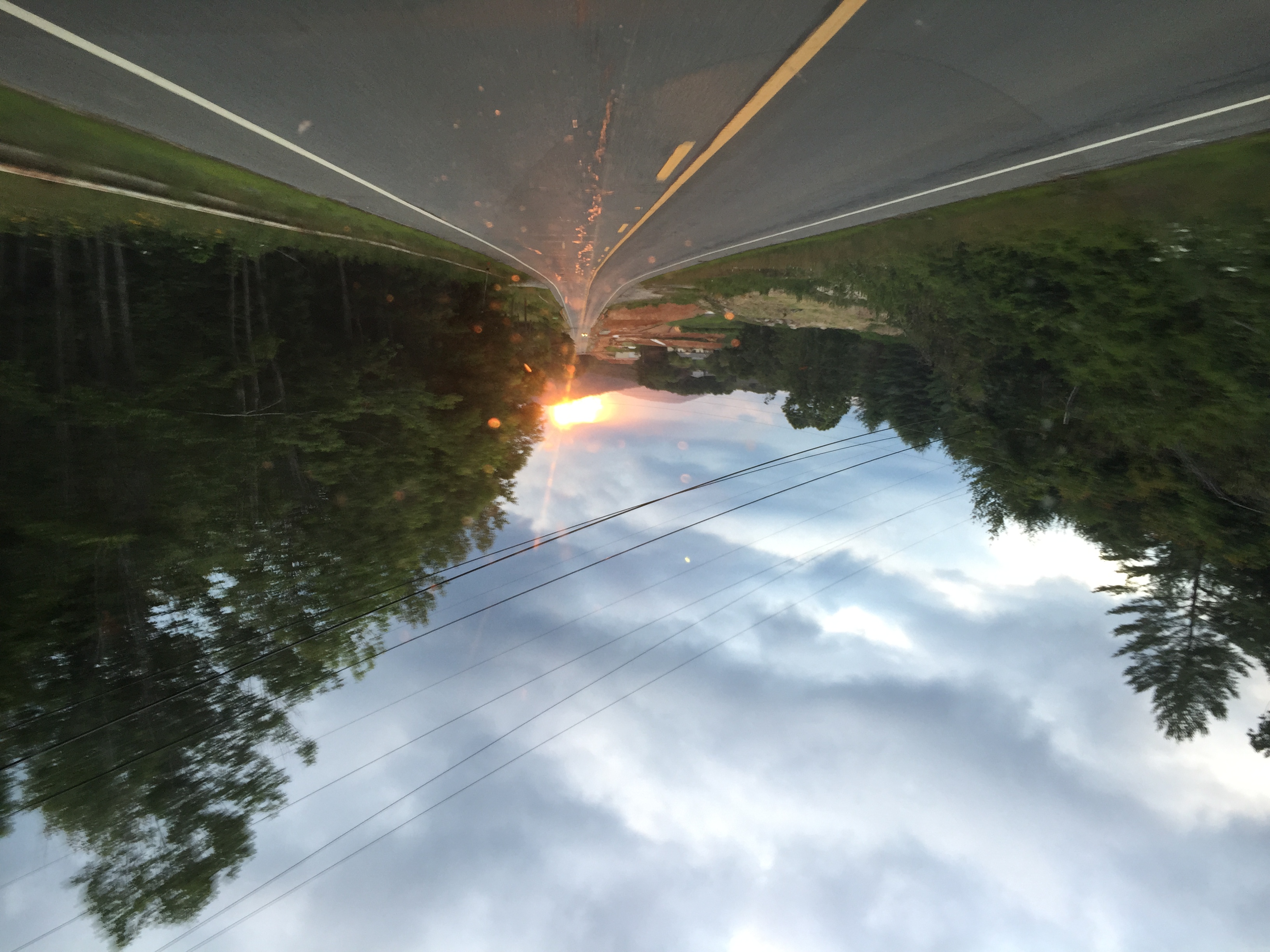
Sunrise at the Orchard

#USAirways flight to #Charlotte, #NorthCarolina / #CLT / #CharlotteDouglasInternationalAirport

Mt Mitchell State Park Rstrnt
Classic Clinchfield
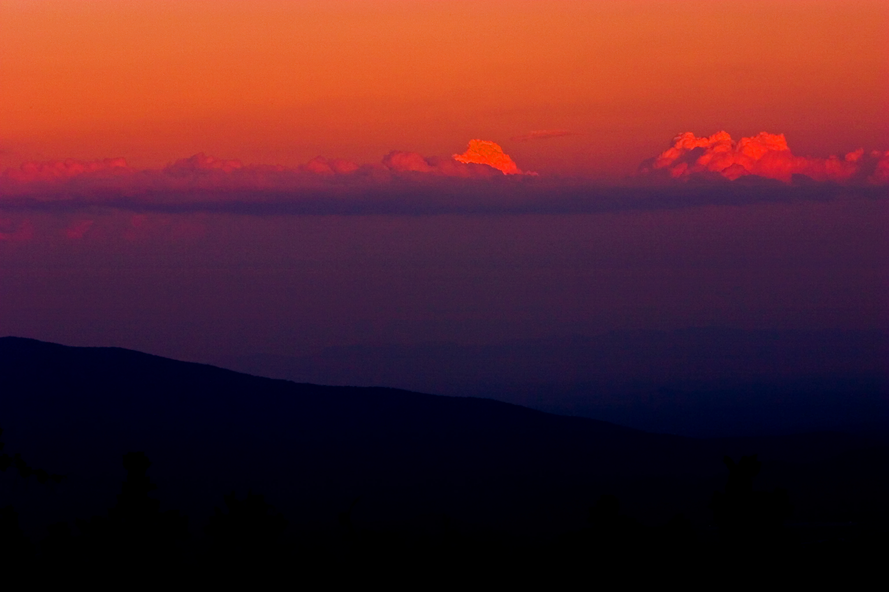
Little Switzerland Sunset

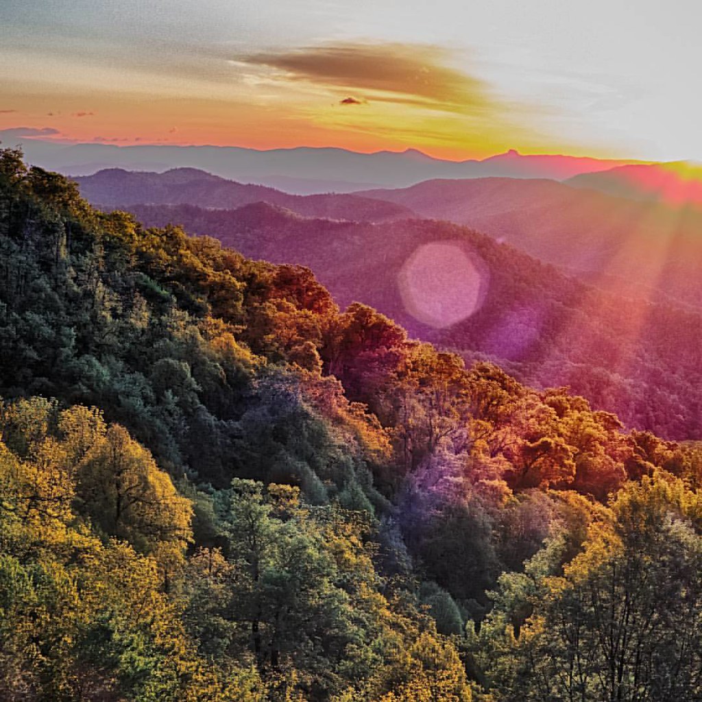
Outshining the Landscape
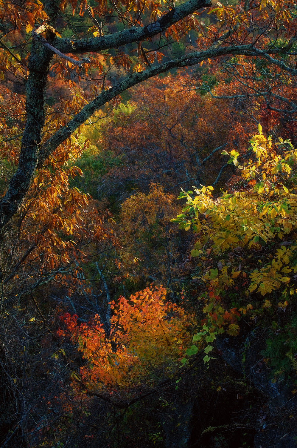
Autumn Color on the Blue Ridge Parkway 2012-1019-14
April 14-2012-120-1

Mount Mitchell

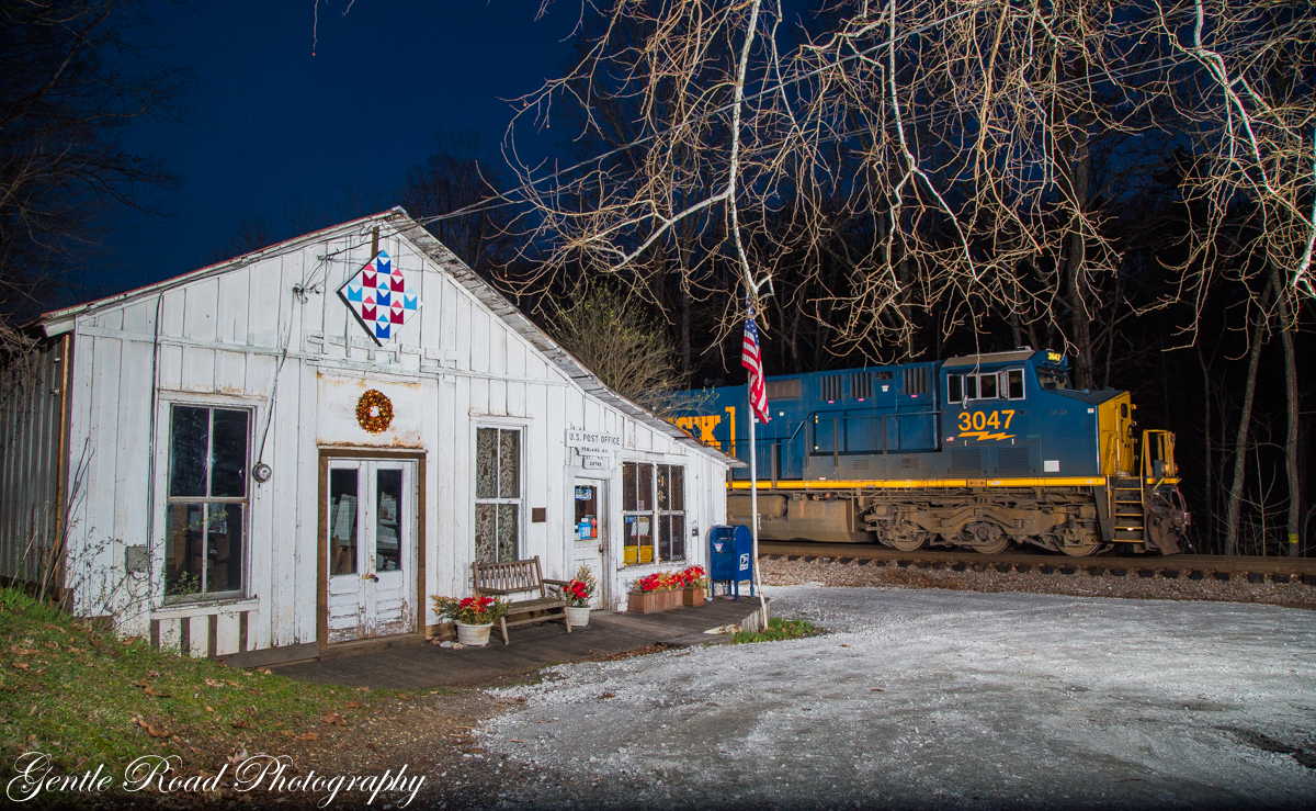
Stream at Penland, NC 1

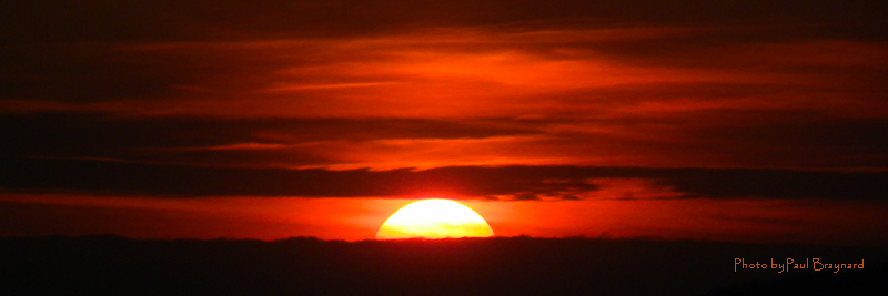
Beautiful sunset to end ASP day 1
The sunset was amazing
#blueridgemountains #gsmnp #sunrays #sunset #ncmountains #ncoutdoors #mountains #beautiful #nature_shooters #horizon #nc #northcarolina
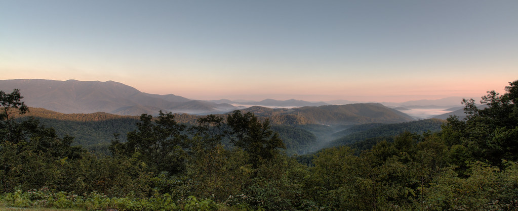
Blue Ridge Parkway Panorama
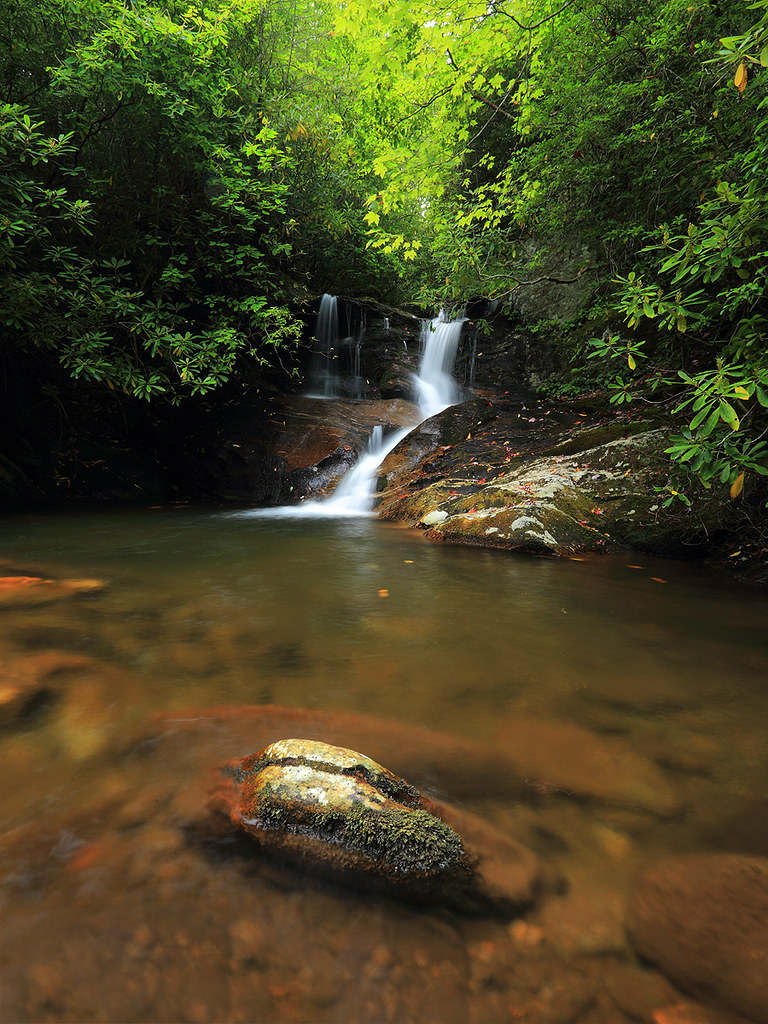
White Oak Creek
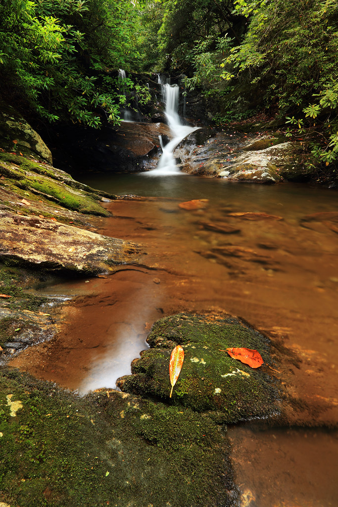
White Oak Creek Falls

BRP Sunrise
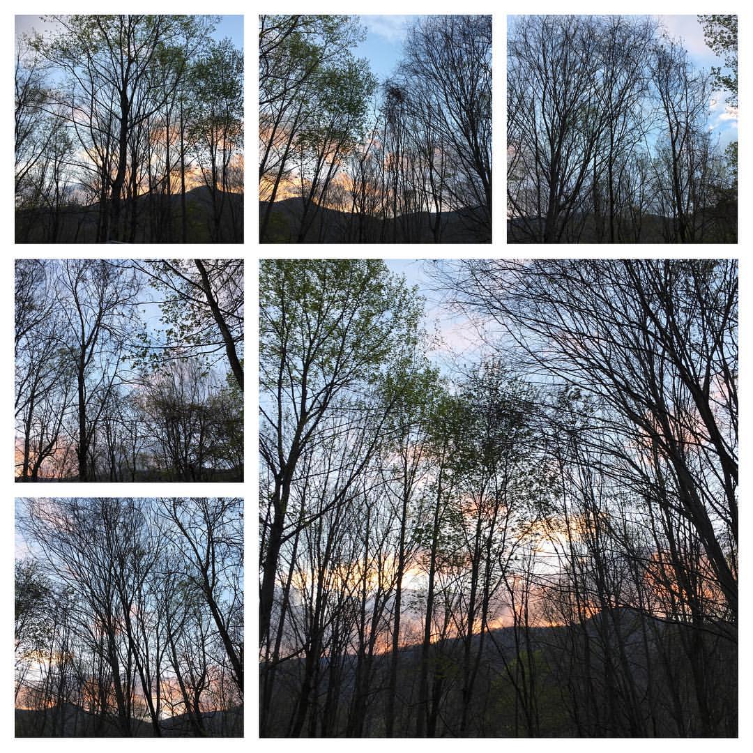
#blueridgemoments #blueridgemountains #pisgahnationalforest #morningwalk #mountainsunrise #springinthemountains #wildflowers #sunrise

Little Switzerland Sunrise

Tiny Purple House at Sunrise
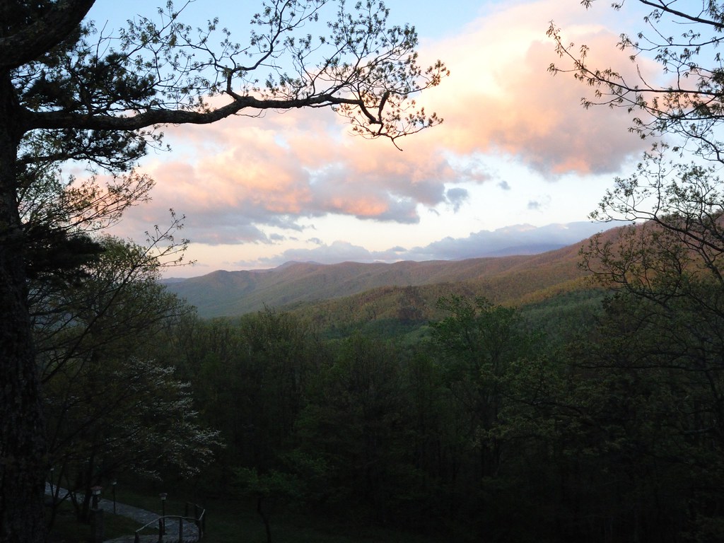
Early Light on the Blue Ridge
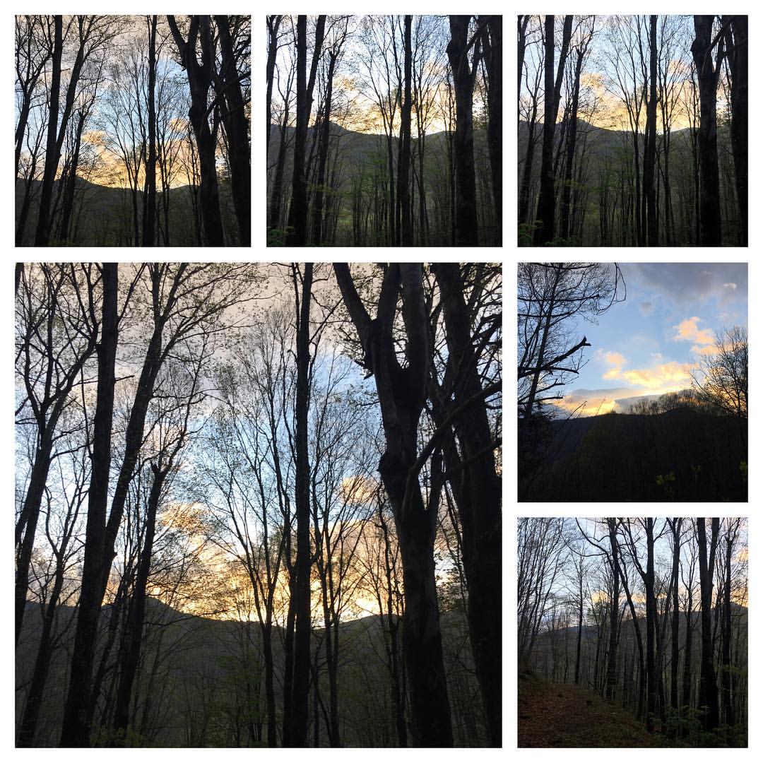
#blueridgemoments #blueridgemountains #pisgahnationalforest #morningwalk #mountainsunrise #springinthemountains #wildflowers #sunrise
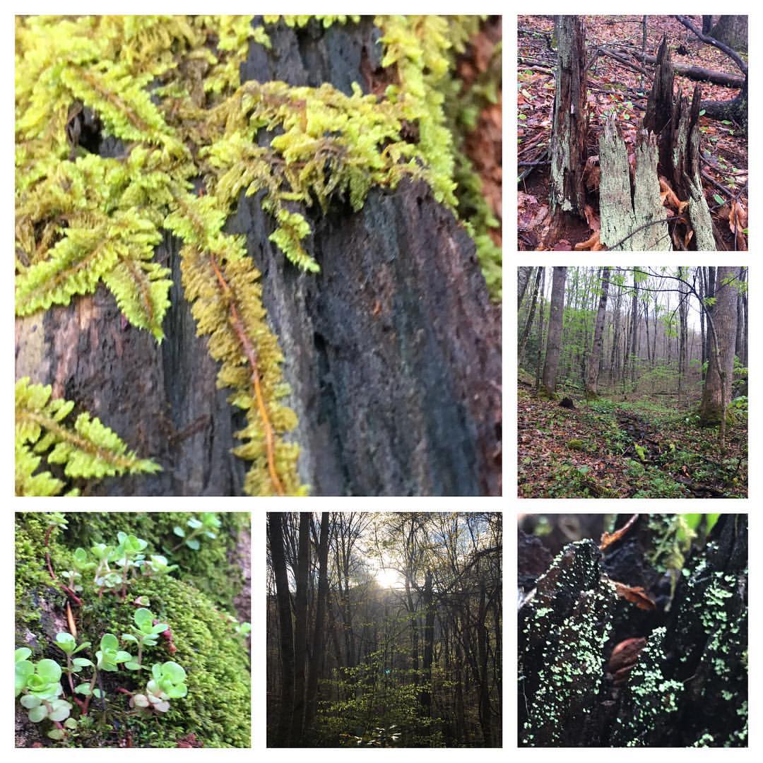
#blueridgemoments #blueridgemountains #pisgahnationalforest #morningwalk #mountainsunrise #springinthemountains #moss #sunrise #ferns
Skyline Road, Skyline Rd, Grassy Creek, NC, USA Karte
Suchen Sie einen anderen Ort
Nahe Plätze
Pine Tree Rd, Spruce Pine, NC, USA
Trails End Road, Spruce Pine, NC, USA
Pine Tree Rd, Spruce Pine, NC, USA
Skyline Rd, Spruce Pine, NC, USA
Carvers Knob Rd, Spruce Pine, NC, USA
Carvers Knob Road, Carvers Knob Rd, Spruce Pine, NC, USA
Carvers Knob Rd, Spruce Pine, NC, USA
Carvers Knob Rd, Spruce Pine, NC, USA
Tree Farm Rd, Spruce Pine, NC, USA
10 Tree Farm Rd, Spruce Pine, NC, USA
Hummingbird Ln, Spruce Pine, NC, USA
Firetower Rd, Spruce Pine, NC, USA
Charlie Woody Mountain Rd, Spruce Pine, NC, USA
81 Adkins Farm Rd, Spruce Pine, NC, USA
Old Laurel Way, Spruce Pine, NC, USA
Hoot Owl Rd, Spruce Pine, NC, USA
Rich Knob Rd, Spruce Pine, NC, USA
Rich Knob Rd, Spruce Pine, NC, USA
Rich Knob Rd, Spruce Pine, NC, USA
Rich Knob Rd, Spruce Pine, NC, USA
Letzte Suche
- Red Dog Mine, AK, USA Sonnenaufgang Sonnenuntergang Zeiten
- Am Bahnhof, Am bhf, Borken, Germany Sonnenaufgang Sonnenuntergang Zeiten
- 4th St E, Sonoma, CA, USA Sonnenaufgang Sonnenuntergang Zeiten
- Oakland Ave, Williamsport, PA, USA Sonnenaufgang Sonnenuntergang Zeiten
- Via Roma, Pieranica CR, Italien Sonnenaufgang Sonnenuntergang Zeiten
- Glockenturm, Grad, Dubrovnik, Kroatien Sonnenaufgang Sonnenuntergang Zeiten
- Trelew, Chubut Province, Argentina Sonnenaufgang Sonnenuntergang Zeiten
- Hartfords Bluff Cir, Mt Pleasant, SC, USA Sonnenaufgang Sonnenuntergang Zeiten
- Kita-ku, Kumamoto, Präfektur Kumamoto, Japan Sonnenaufgang Sonnenuntergang Zeiten
- Pingtan Island, Pingtan County, Fuzhou, China Sonnenaufgang Sonnenuntergang Zeiten