Rocky Rd, Tonto Basin, AZ, USA Sonnenaufgang Sonnenuntergang Zeiten
Location: USA > Arizona > Gila County > Tonto Basin >
Zeitzone:
America/Phoenix
Ortszeit:
2025-07-06 21:08:14
Länge:
-111.3037015
Breite:
33.8387794
Sonnenaufgang Heute:
05:21:18 AM
Sonnenuntergang Heute:
07:39:16 PM
Tageslänge heute:
14h 17m 58s
Sonnenaufgang morgen:
05:21:51 AM
Sonnenuntergang Morgen:
07:39:02 PM
Tageslänge von morgen:
14h 17m 11s
Alle Termine anzeigen
| Datum | Sonnenaufgang | Sonnenuntergang | Tageslänge |
|---|---|---|---|
| 2025-01-01 | 07:30:25 AM | 05:28:24 PM | 9h 57m 59s |
| 2025-01-02 | 07:30:33 AM | 05:29:11 PM | 9h 58m 38s |
| 2025-01-03 | 07:30:40 AM | 05:29:58 PM | 9h 59m 18s |
| 2025-01-04 | 07:30:45 AM | 05:30:47 PM | 10h 0m 2s |
| 2025-01-05 | 07:30:48 AM | 05:31:37 PM | 10h 0m 49s |
| 2025-01-06 | 07:30:49 AM | 05:32:27 PM | 10h 1m 38s |
| 2025-01-07 | 07:30:48 AM | 05:33:19 PM | 10h 2m 31s |
| 2025-01-08 | 07:30:45 AM | 05:34:11 PM | 10h 3m 26s |
| 2025-01-09 | 07:30:41 AM | 05:35:04 PM | 10h 4m 23s |
| 2025-01-10 | 07:30:34 AM | 05:35:57 PM | 10h 5m 23s |
| 2025-01-11 | 07:30:26 AM | 05:36:52 PM | 10h 6m 26s |
| 2025-01-12 | 07:30:16 AM | 05:37:46 PM | 10h 7m 30s |
| 2025-01-13 | 07:30:04 AM | 05:38:42 PM | 10h 8m 38s |
| 2025-01-14 | 07:29:50 AM | 05:39:38 PM | 10h 9m 48s |
| 2025-01-15 | 07:29:35 AM | 05:40:34 PM | 10h 10m 59s |
| 2025-01-16 | 07:29:18 AM | 05:41:31 PM | 10h 12m 13s |
| 2025-01-17 | 07:28:58 AM | 05:42:28 PM | 10h 13m 30s |
| 2025-01-18 | 07:28:37 AM | 05:43:26 PM | 10h 14m 49s |
| 2025-01-19 | 07:28:15 AM | 05:44:24 PM | 10h 16m 9s |
| 2025-01-20 | 07:27:50 AM | 05:45:22 PM | 10h 17m 32s |
| 2025-01-21 | 07:27:24 AM | 05:46:20 PM | 10h 18m 56s |
| 2025-01-22 | 07:26:56 AM | 05:47:19 PM | 10h 20m 23s |
| 2025-01-23 | 07:26:26 AM | 05:48:17 PM | 10h 21m 51s |
| 2025-01-24 | 07:25:55 AM | 05:49:16 PM | 10h 23m 21s |
| 2025-01-25 | 07:25:21 AM | 05:50:15 PM | 10h 24m 54s |
| 2025-01-26 | 07:24:47 AM | 05:51:14 PM | 10h 26m 27s |
| 2025-01-27 | 07:24:10 AM | 05:52:13 PM | 10h 28m 3s |
| 2025-01-28 | 07:23:32 AM | 05:53:12 PM | 10h 29m 40s |
| 2025-01-29 | 07:22:53 AM | 05:54:11 PM | 10h 31m 18s |
| 2025-01-30 | 07:22:11 AM | 05:55:09 PM | 10h 32m 58s |
| 2025-01-31 | 07:21:29 AM | 05:56:08 PM | 10h 34m 39s |
| 2025-02-01 | 07:20:45 AM | 05:57:07 PM | 10h 36m 22s |
| 2025-02-02 | 07:19:59 AM | 05:58:05 PM | 10h 38m 6s |
| 2025-02-03 | 07:19:12 AM | 05:59:03 PM | 10h 39m 51s |
| 2025-02-04 | 07:18:23 AM | 06:00:01 PM | 10h 41m 38s |
| 2025-02-05 | 07:17:33 AM | 06:00:59 PM | 10h 43m 26s |
| 2025-02-06 | 07:16:42 AM | 06:01:57 PM | 10h 45m 15s |
| 2025-02-07 | 07:15:49 AM | 06:02:54 PM | 10h 47m 5s |
| 2025-02-08 | 07:14:55 AM | 06:03:51 PM | 10h 48m 56s |
| 2025-02-09 | 07:14:00 AM | 06:04:48 PM | 10h 50m 48s |
| 2025-02-10 | 07:13:03 AM | 06:05:45 PM | 10h 52m 42s |
| 2025-02-11 | 07:12:06 AM | 06:06:41 PM | 10h 54m 35s |
| 2025-02-12 | 07:11:07 AM | 06:07:37 PM | 10h 56m 30s |
| 2025-02-13 | 07:10:07 AM | 06:08:33 PM | 10h 58m 26s |
| 2025-02-14 | 07:09:05 AM | 06:09:28 PM | 11h 0m 23s |
| 2025-02-15 | 07:08:03 AM | 06:10:23 PM | 11h 2m 20s |
| 2025-02-16 | 07:07:00 AM | 06:11:18 PM | 11h 4m 18s |
| 2025-02-17 | 07:05:55 AM | 06:12:12 PM | 11h 6m 17s |
| 2025-02-18 | 07:04:50 AM | 06:13:06 PM | 11h 8m 16s |
| 2025-02-19 | 07:03:43 AM | 06:14:00 PM | 11h 10m 17s |
| 2025-02-20 | 07:02:36 AM | 06:14:53 PM | 11h 12m 17s |
| 2025-02-21 | 07:01:28 AM | 06:15:46 PM | 11h 14m 18s |
| 2025-02-22 | 07:00:19 AM | 06:16:38 PM | 11h 16m 19s |
| 2025-02-23 | 06:59:09 AM | 06:17:31 PM | 11h 18m 22s |
| 2025-02-24 | 06:57:58 AM | 06:18:23 PM | 11h 20m 25s |
| 2025-02-25 | 06:56:46 AM | 06:19:14 PM | 11h 22m 28s |
| 2025-02-26 | 06:55:34 AM | 06:20:05 PM | 11h 24m 31s |
| 2025-02-27 | 06:54:21 AM | 06:20:56 PM | 11h 26m 35s |
| 2025-02-28 | 06:53:07 AM | 06:21:47 PM | 11h 28m 40s |
| 2025-03-01 | 06:51:52 AM | 06:22:37 PM | 11h 30m 45s |
| 2025-03-02 | 06:50:37 AM | 06:23:27 PM | 11h 32m 50s |
| 2025-03-03 | 06:49:22 AM | 06:24:16 PM | 11h 34m 54s |
| 2025-03-04 | 06:48:05 AM | 06:25:06 PM | 11h 37m 1s |
| 2025-03-05 | 06:46:49 AM | 06:25:55 PM | 11h 39m 6s |
| 2025-03-06 | 06:45:31 AM | 06:26:43 PM | 11h 41m 12s |
| 2025-03-07 | 06:44:13 AM | 06:27:32 PM | 11h 43m 19s |
| 2025-03-08 | 06:42:55 AM | 06:28:20 PM | 11h 45m 25s |
| 2025-03-09 | 06:41:36 AM | 06:29:08 PM | 11h 47m 32s |
| 2025-03-10 | 06:40:17 AM | 06:29:55 PM | 11h 49m 38s |
| 2025-03-11 | 06:38:58 AM | 06:30:43 PM | 11h 51m 45s |
| 2025-03-12 | 06:37:38 AM | 06:31:30 PM | 11h 53m 52s |
| 2025-03-13 | 06:36:18 AM | 06:32:17 PM | 11h 55m 59s |
| 2025-03-14 | 06:34:58 AM | 06:33:04 PM | 11h 58m 6s |
| 2025-03-15 | 06:33:37 AM | 06:33:50 PM | 12h 0m 13s |
| 2025-03-16 | 06:32:16 AM | 06:34:37 PM | 12h 2m 21s |
| 2025-03-17 | 06:30:55 AM | 06:35:23 PM | 12h 4m 28s |
| 2025-03-18 | 06:29:34 AM | 06:36:09 PM | 12h 6m 35s |
| 2025-03-19 | 06:28:13 AM | 06:36:55 PM | 12h 8m 42s |
| 2025-03-20 | 06:26:51 AM | 06:37:40 PM | 12h 10m 49s |
| 2025-03-21 | 06:25:30 AM | 06:38:26 PM | 12h 12m 56s |
| 2025-03-22 | 06:24:08 AM | 06:39:11 PM | 12h 15m 3s |
| 2025-03-23 | 06:22:47 AM | 06:39:57 PM | 12h 17m 10s |
| 2025-03-24 | 06:21:25 AM | 06:40:42 PM | 12h 19m 17s |
| 2025-03-25 | 06:20:04 AM | 06:41:27 PM | 12h 21m 23s |
| 2025-03-26 | 06:18:43 AM | 06:42:13 PM | 12h 23m 30s |
| 2025-03-27 | 06:17:21 AM | 06:42:58 PM | 12h 25m 37s |
| 2025-03-28 | 06:16:00 AM | 06:43:43 PM | 12h 27m 43s |
| 2025-03-29 | 06:14:39 AM | 06:44:28 PM | 12h 29m 49s |
| 2025-03-30 | 06:13:18 AM | 06:45:13 PM | 12h 31m 55s |
| 2025-03-31 | 06:11:58 AM | 06:45:58 PM | 12h 34m 0s |
| 2025-04-01 | 06:10:38 AM | 06:46:43 PM | 12h 36m 5s |
| 2025-04-02 | 06:09:18 AM | 06:47:27 PM | 12h 38m 9s |
| 2025-04-03 | 06:07:58 AM | 06:48:12 PM | 12h 40m 14s |
| 2025-04-04 | 06:06:39 AM | 06:48:57 PM | 12h 42m 18s |
| 2025-04-05 | 06:05:20 AM | 06:49:42 PM | 12h 44m 22s |
| 2025-04-06 | 06:04:01 AM | 06:50:27 PM | 12h 46m 26s |
| 2025-04-07 | 06:02:43 AM | 06:51:12 PM | 12h 48m 29s |
| 2025-04-08 | 06:01:25 AM | 06:51:58 PM | 12h 50m 33s |
| 2025-04-09 | 06:00:08 AM | 06:52:43 PM | 12h 52m 35s |
| 2025-04-10 | 05:58:51 AM | 06:53:28 PM | 12h 54m 37s |
| 2025-04-11 | 05:57:35 AM | 06:54:13 PM | 12h 56m 38s |
| 2025-04-12 | 05:56:19 AM | 06:54:59 PM | 12h 58m 40s |
| 2025-04-13 | 05:55:04 AM | 06:55:44 PM | 13h 0m 40s |
| 2025-04-14 | 05:53:50 AM | 06:56:29 PM | 13h 2m 39s |
| 2025-04-15 | 05:52:36 AM | 06:57:15 PM | 13h 4m 39s |
| 2025-04-16 | 05:51:23 AM | 06:58:01 PM | 13h 6m 38s |
| 2025-04-17 | 05:50:10 AM | 06:58:46 PM | 13h 8m 36s |
| 2025-04-18 | 05:48:59 AM | 06:59:32 PM | 13h 10m 33s |
| 2025-04-19 | 05:47:48 AM | 07:00:18 PM | 13h 12m 30s |
| 2025-04-20 | 05:46:38 AM | 07:01:04 PM | 13h 14m 26s |
| 2025-04-21 | 05:45:28 AM | 07:01:50 PM | 13h 16m 22s |
| 2025-04-22 | 05:44:20 AM | 07:02:36 PM | 13h 18m 16s |
| 2025-04-23 | 05:43:12 AM | 07:03:22 PM | 13h 20m 10s |
| 2025-04-24 | 05:42:06 AM | 07:04:08 PM | 13h 22m 2s |
| 2025-04-25 | 05:41:00 AM | 07:04:55 PM | 13h 23m 55s |
| 2025-04-26 | 05:39:55 AM | 07:05:41 PM | 13h 25m 46s |
| 2025-04-27 | 05:38:51 AM | 07:06:27 PM | 13h 27m 36s |
| 2025-04-28 | 05:37:48 AM | 07:07:14 PM | 13h 29m 26s |
| 2025-04-29 | 05:36:47 AM | 07:08:00 PM | 13h 31m 13s |
| 2025-04-30 | 05:35:46 AM | 07:08:46 PM | 13h 33m 0s |
| 2025-05-01 | 05:34:46 AM | 07:09:33 PM | 13h 34m 47s |
| 2025-05-02 | 05:33:48 AM | 07:10:19 PM | 13h 36m 31s |
| 2025-05-03 | 05:32:51 AM | 07:11:05 PM | 13h 38m 14s |
| 2025-05-04 | 05:31:54 AM | 07:11:52 PM | 13h 39m 58s |
| 2025-05-05 | 05:30:59 AM | 07:12:38 PM | 13h 41m 39s |
| 2025-05-06 | 05:30:05 AM | 07:13:24 PM | 13h 43m 19s |
| 2025-05-07 | 05:29:13 AM | 07:14:10 PM | 13h 44m 57s |
| 2025-05-08 | 05:28:22 AM | 07:14:56 PM | 13h 46m 34s |
| 2025-05-09 | 05:27:32 AM | 07:15:42 PM | 13h 48m 10s |
| 2025-05-10 | 05:26:43 AM | 07:16:27 PM | 13h 49m 44s |
| 2025-05-11 | 05:25:55 AM | 07:17:13 PM | 13h 51m 18s |
| 2025-05-12 | 05:25:09 AM | 07:17:58 PM | 13h 52m 49s |
| 2025-05-13 | 05:24:25 AM | 07:18:43 PM | 13h 54m 18s |
| 2025-05-14 | 05:23:41 AM | 07:19:28 PM | 13h 55m 47s |
| 2025-05-15 | 05:23:00 AM | 07:20:12 PM | 13h 57m 12s |
| 2025-05-16 | 05:22:19 AM | 07:20:56 PM | 13h 58m 37s |
| 2025-05-17 | 05:21:40 AM | 07:21:40 PM | 14h 0m 0s |
| 2025-05-18 | 05:21:03 AM | 07:22:24 PM | 14h 1m 21s |
| 2025-05-19 | 05:20:26 AM | 07:23:07 PM | 14h 2m 41s |
| 2025-05-20 | 05:19:52 AM | 07:23:49 PM | 14h 3m 57s |
| 2025-05-21 | 05:19:19 AM | 07:24:32 PM | 14h 5m 13s |
| 2025-05-22 | 05:18:47 AM | 07:25:13 PM | 14h 6m 26s |
| 2025-05-23 | 05:18:17 AM | 07:25:55 PM | 14h 7m 38s |
| 2025-05-24 | 05:17:49 AM | 07:26:35 PM | 14h 8m 46s |
| 2025-05-25 | 05:17:22 AM | 07:27:15 PM | 14h 9m 53s |
| 2025-05-26 | 05:16:57 AM | 07:27:55 PM | 14h 10m 58s |
| 2025-05-27 | 05:16:33 AM | 07:28:33 PM | 14h 12m 0s |
| 2025-05-28 | 05:16:11 AM | 07:29:12 PM | 14h 13m 1s |
| 2025-05-29 | 05:15:50 AM | 07:29:49 PM | 14h 13m 59s |
| 2025-05-30 | 05:15:31 AM | 07:30:26 PM | 14h 14m 55s |
| 2025-05-31 | 05:15:13 AM | 07:31:01 PM | 14h 15m 48s |
| 2025-06-01 | 05:14:58 AM | 07:31:36 PM | 14h 16m 38s |
| 2025-06-02 | 05:14:43 AM | 07:32:11 PM | 14h 17m 28s |
| 2025-06-03 | 05:14:31 AM | 07:32:44 PM | 14h 18m 13s |
| 2025-06-04 | 05:14:20 AM | 07:33:16 PM | 14h 18m 56s |
| 2025-06-05 | 05:14:10 AM | 07:33:48 PM | 14h 19m 38s |
| 2025-06-06 | 05:14:02 AM | 07:34:18 PM | 14h 20m 16s |
| 2025-06-07 | 05:13:56 AM | 07:34:47 PM | 14h 20m 51s |
| 2025-06-08 | 05:13:51 AM | 07:35:16 PM | 14h 21m 25s |
| 2025-06-09 | 05:13:48 AM | 07:35:43 PM | 14h 21m 55s |
| 2025-06-10 | 05:13:47 AM | 07:36:09 PM | 14h 22m 22s |
| 2025-06-11 | 05:13:46 AM | 07:36:34 PM | 14h 22m 48s |
| 2025-06-12 | 05:13:48 AM | 07:36:57 PM | 14h 23m 9s |
| 2025-06-13 | 05:13:51 AM | 07:37:20 PM | 14h 23m 29s |
| 2025-06-14 | 05:13:55 AM | 07:37:41 PM | 14h 23m 46s |
| 2025-06-15 | 05:14:01 AM | 07:38:01 PM | 14h 24m 0s |
| 2025-06-16 | 05:14:09 AM | 07:38:20 PM | 14h 24m 11s |
| 2025-06-17 | 05:14:18 AM | 07:38:37 PM | 14h 24m 19s |
| 2025-06-18 | 05:14:28 AM | 07:38:53 PM | 14h 24m 25s |
| 2025-06-19 | 05:14:40 AM | 07:39:07 PM | 14h 24m 27s |
| 2025-06-20 | 05:14:53 AM | 07:39:20 PM | 14h 24m 27s |
| 2025-06-21 | 05:15:07 AM | 07:39:32 PM | 14h 24m 25s |
| 2025-06-22 | 05:15:23 AM | 07:39:42 PM | 14h 24m 19s |
| 2025-06-23 | 05:15:40 AM | 07:39:51 PM | 14h 24m 11s |
| 2025-06-24 | 05:15:58 AM | 07:39:58 PM | 14h 24m 0s |
| 2025-06-25 | 05:16:18 AM | 07:40:04 PM | 14h 23m 46s |
| 2025-06-26 | 05:16:39 AM | 07:40:08 PM | 14h 23m 29s |
| 2025-06-27 | 05:17:01 AM | 07:40:10 PM | 14h 23m 9s |
| 2025-06-28 | 05:17:24 AM | 07:40:11 PM | 14h 22m 47s |
| 2025-06-29 | 05:17:48 AM | 07:40:11 PM | 14h 22m 23s |
| 2025-06-30 | 05:18:13 AM | 07:40:08 PM | 14h 21m 55s |
| 2025-07-01 | 05:18:40 AM | 07:40:04 PM | 14h 21m 24s |
| 2025-07-02 | 05:19:07 AM | 07:39:59 PM | 14h 20m 52s |
| 2025-07-03 | 05:19:36 AM | 07:39:52 PM | 14h 20m 16s |
| 2025-07-04 | 05:20:05 AM | 07:39:43 PM | 14h 19m 38s |
| 2025-07-05 | 05:20:35 AM | 07:39:33 PM | 14h 18m 58s |
| 2025-07-06 | 05:21:07 AM | 07:39:21 PM | 14h 18m 14s |
| 2025-07-07 | 05:21:39 AM | 07:39:08 PM | 14h 17m 29s |
| 2025-07-08 | 05:22:11 AM | 07:38:52 PM | 14h 16m 41s |
| 2025-07-09 | 05:22:45 AM | 07:38:35 PM | 14h 15m 50s |
| 2025-07-10 | 05:23:20 AM | 07:38:17 PM | 14h 14m 57s |
| 2025-07-11 | 05:23:55 AM | 07:37:57 PM | 14h 14m 2s |
| 2025-07-12 | 05:24:31 AM | 07:37:35 PM | 14h 13m 4s |
| 2025-07-13 | 05:25:07 AM | 07:37:12 PM | 14h 12m 5s |
| 2025-07-14 | 05:25:44 AM | 07:36:47 PM | 14h 11m 3s |
| 2025-07-15 | 05:26:22 AM | 07:36:20 PM | 14h 9m 58s |
| 2025-07-16 | 05:27:00 AM | 07:35:52 PM | 14h 8m 52s |
| 2025-07-17 | 05:27:39 AM | 07:35:22 PM | 14h 7m 43s |
| 2025-07-18 | 05:28:18 AM | 07:34:51 PM | 14h 6m 33s |
| 2025-07-19 | 05:28:57 AM | 07:34:18 PM | 14h 5m 21s |
| 2025-07-20 | 05:29:38 AM | 07:33:44 PM | 14h 4m 6s |
| 2025-07-21 | 05:30:18 AM | 07:33:08 PM | 14h 2m 50s |
| 2025-07-22 | 05:30:59 AM | 07:32:30 PM | 14h 1m 31s |
| 2025-07-23 | 05:31:40 AM | 07:31:51 PM | 14h 0m 11s |
| 2025-07-24 | 05:32:21 AM | 07:31:11 PM | 13h 58m 50s |
| 2025-07-25 | 05:33:03 AM | 07:30:29 PM | 13h 57m 26s |
| 2025-07-26 | 05:33:45 AM | 07:29:46 PM | 13h 56m 1s |
| 2025-07-27 | 05:34:27 AM | 07:29:01 PM | 13h 54m 34s |
| 2025-07-28 | 05:35:10 AM | 07:28:15 PM | 13h 53m 5s |
| 2025-07-29 | 05:35:52 AM | 07:27:27 PM | 13h 51m 35s |
| 2025-07-30 | 05:36:35 AM | 07:26:38 PM | 13h 50m 3s |
| 2025-07-31 | 05:37:18 AM | 07:25:48 PM | 13h 48m 30s |
| 2025-08-01 | 05:38:01 AM | 07:24:56 PM | 13h 46m 55s |
| 2025-08-02 | 05:38:44 AM | 07:24:03 PM | 13h 45m 19s |
| 2025-08-03 | 05:39:27 AM | 07:23:09 PM | 13h 43m 42s |
| 2025-08-04 | 05:40:10 AM | 07:22:14 PM | 13h 42m 4s |
| 2025-08-05 | 05:40:53 AM | 07:21:17 PM | 13h 40m 24s |
| 2025-08-06 | 05:41:36 AM | 07:20:19 PM | 13h 38m 43s |
| 2025-08-07 | 05:42:19 AM | 07:19:20 PM | 13h 37m 1s |
| 2025-08-08 | 05:43:02 AM | 07:18:20 PM | 13h 35m 18s |
| 2025-08-09 | 05:43:45 AM | 07:17:19 PM | 13h 33m 34s |
| 2025-08-10 | 05:44:29 AM | 07:16:16 PM | 13h 31m 47s |
| 2025-08-11 | 05:45:12 AM | 07:15:13 PM | 13h 30m 1s |
| 2025-08-12 | 05:45:55 AM | 07:14:08 PM | 13h 28m 13s |
| 2025-08-13 | 05:46:37 AM | 07:13:03 PM | 13h 26m 26s |
| 2025-08-14 | 05:47:20 AM | 07:11:56 PM | 13h 24m 36s |
| 2025-08-15 | 05:48:03 AM | 07:10:48 PM | 13h 22m 45s |
| 2025-08-16 | 05:48:46 AM | 07:09:40 PM | 13h 20m 54s |
| 2025-08-17 | 05:49:28 AM | 07:08:31 PM | 13h 19m 3s |
| 2025-08-18 | 05:50:11 AM | 07:07:20 PM | 13h 17m 9s |
| 2025-08-19 | 05:50:53 AM | 07:06:09 PM | 13h 15m 16s |
| 2025-08-20 | 05:51:35 AM | 07:04:57 PM | 13h 13m 22s |
| 2025-08-21 | 05:52:18 AM | 07:03:45 PM | 13h 11m 27s |
| 2025-08-22 | 05:53:00 AM | 07:02:31 PM | 13h 9m 31s |
| 2025-08-23 | 05:53:42 AM | 07:01:17 PM | 13h 7m 35s |
| 2025-08-24 | 05:54:23 AM | 07:00:02 PM | 13h 5m 39s |
| 2025-08-25 | 05:55:05 AM | 06:58:46 PM | 13h 3m 41s |
| 2025-08-26 | 05:55:47 AM | 06:57:30 PM | 13h 1m 43s |
| 2025-08-27 | 05:56:28 AM | 06:56:13 PM | 12h 59m 45s |
| 2025-08-28 | 05:57:10 AM | 06:54:55 PM | 12h 57m 45s |
| 2025-08-29 | 05:57:51 AM | 06:53:37 PM | 12h 55m 46s |
| 2025-08-30 | 05:58:32 AM | 06:52:18 PM | 12h 53m 46s |
| 2025-08-31 | 05:59:13 AM | 06:50:59 PM | 12h 51m 46s |
| 2025-09-01 | 05:59:54 AM | 06:49:39 PM | 12h 49m 45s |
| 2025-09-02 | 06:00:35 AM | 06:48:19 PM | 12h 47m 44s |
| 2025-09-03 | 06:01:16 AM | 06:46:58 PM | 12h 45m 42s |
| 2025-09-04 | 06:01:57 AM | 06:45:37 PM | 12h 43m 40s |
| 2025-09-05 | 06:02:38 AM | 06:44:16 PM | 12h 41m 38s |
| 2025-09-06 | 06:03:19 AM | 06:42:54 PM | 12h 39m 35s |
| 2025-09-07 | 06:03:59 AM | 06:41:32 PM | 12h 37m 33s |
| 2025-09-08 | 06:04:40 AM | 06:40:09 PM | 12h 35m 29s |
| 2025-09-09 | 06:05:21 AM | 06:38:47 PM | 12h 33m 26s |
| 2025-09-10 | 06:06:02 AM | 06:37:24 PM | 12h 31m 22s |
| 2025-09-11 | 06:06:42 AM | 06:36:00 PM | 12h 29m 18s |
| 2025-09-12 | 06:07:23 AM | 06:34:37 PM | 12h 27m 14s |
| 2025-09-13 | 06:08:04 AM | 06:33:14 PM | 12h 25m 10s |
| 2025-09-14 | 06:08:45 AM | 06:31:50 PM | 12h 23m 5s |
| 2025-09-15 | 06:09:25 AM | 06:30:26 PM | 12h 21m 1s |
| 2025-09-16 | 06:10:06 AM | 06:29:02 PM | 12h 18m 56s |
| 2025-09-17 | 06:10:47 AM | 06:27:38 PM | 12h 16m 51s |
| 2025-09-18 | 06:11:28 AM | 06:26:15 PM | 12h 14m 47s |
| 2025-09-19 | 06:12:10 AM | 06:24:51 PM | 12h 12m 41s |
| 2025-09-20 | 06:12:51 AM | 06:23:27 PM | 12h 10m 36s |
| 2025-09-21 | 06:13:32 AM | 06:22:03 PM | 12h 8m 31s |
| 2025-09-22 | 06:14:14 AM | 06:20:39 PM | 12h 6m 25s |
| 2025-09-23 | 06:14:56 AM | 06:19:16 PM | 12h 4m 20s |
| 2025-09-24 | 06:15:37 AM | 06:17:53 PM | 12h 2m 16s |
| 2025-09-25 | 06:16:19 AM | 06:16:29 PM | 12h 0m 10s |
| 2025-09-26 | 06:17:02 AM | 06:15:06 PM | 11h 58m 4s |
| 2025-09-27 | 06:17:44 AM | 06:13:44 PM | 11h 56m 0s |
| 2025-09-28 | 06:18:27 AM | 06:12:21 PM | 11h 53m 54s |
| 2025-09-29 | 06:19:10 AM | 06:10:59 PM | 11h 51m 49s |
| 2025-09-30 | 06:19:53 AM | 06:09:37 PM | 11h 49m 44s |
| 2025-10-01 | 06:20:36 AM | 06:08:16 PM | 11h 47m 40s |
| 2025-10-02 | 06:21:20 AM | 06:06:54 PM | 11h 45m 34s |
| 2025-10-03 | 06:22:03 AM | 06:05:34 PM | 11h 43m 31s |
| 2025-10-04 | 06:22:48 AM | 06:04:14 PM | 11h 41m 26s |
| 2025-10-05 | 06:23:32 AM | 06:02:54 PM | 11h 39m 22s |
| 2025-10-06 | 06:24:17 AM | 06:01:35 PM | 11h 37m 18s |
| 2025-10-07 | 06:25:02 AM | 06:00:16 PM | 11h 35m 14s |
| 2025-10-08 | 06:25:47 AM | 05:58:58 PM | 11h 33m 11s |
| 2025-10-09 | 06:26:33 AM | 05:57:40 PM | 11h 31m 7s |
| 2025-10-10 | 06:27:19 AM | 05:56:23 PM | 11h 29m 4s |
| 2025-10-11 | 06:28:05 AM | 05:55:07 PM | 11h 27m 2s |
| 2025-10-12 | 06:28:52 AM | 05:53:51 PM | 11h 24m 59s |
| 2025-10-13 | 06:29:39 AM | 05:52:36 PM | 11h 22m 57s |
| 2025-10-14 | 06:30:26 AM | 05:51:22 PM | 11h 20m 56s |
| 2025-10-15 | 06:31:14 AM | 05:50:09 PM | 11h 18m 55s |
| 2025-10-16 | 06:32:02 AM | 05:48:56 PM | 11h 16m 54s |
| 2025-10-17 | 06:32:50 AM | 05:47:45 PM | 11h 14m 55s |
| 2025-10-18 | 06:33:39 AM | 05:46:34 PM | 11h 12m 55s |
| 2025-10-19 | 06:34:28 AM | 05:45:24 PM | 11h 10m 56s |
| 2025-10-20 | 06:35:18 AM | 05:44:15 PM | 11h 8m 57s |
| 2025-10-21 | 06:36:08 AM | 05:43:07 PM | 11h 6m 59s |
| 2025-10-22 | 06:36:58 AM | 05:42:00 PM | 11h 5m 2s |
| 2025-10-23 | 06:37:49 AM | 05:40:54 PM | 11h 3m 5s |
| 2025-10-24 | 06:38:40 AM | 05:39:49 PM | 11h 1m 9s |
| 2025-10-25 | 06:39:32 AM | 05:38:45 PM | 10h 59m 13s |
| 2025-10-26 | 06:40:23 AM | 05:37:42 PM | 10h 57m 19s |
| 2025-10-27 | 06:41:16 AM | 05:36:40 PM | 10h 55m 24s |
| 2025-10-28 | 06:42:08 AM | 05:35:40 PM | 10h 53m 32s |
| 2025-10-29 | 06:43:01 AM | 05:34:41 PM | 10h 51m 40s |
| 2025-10-30 | 06:43:54 AM | 05:33:43 PM | 10h 49m 49s |
| 2025-10-31 | 06:44:48 AM | 05:32:46 PM | 10h 47m 58s |
| 2025-11-01 | 06:45:42 AM | 05:31:50 PM | 10h 46m 8s |
| 2025-11-02 | 06:46:36 AM | 05:30:56 PM | 10h 44m 20s |
| 2025-11-03 | 06:47:30 AM | 05:30:03 PM | 10h 42m 33s |
| 2025-11-04 | 06:48:25 AM | 05:29:12 PM | 10h 40m 47s |
| 2025-11-05 | 06:49:20 AM | 05:28:22 PM | 10h 39m 2s |
| 2025-11-06 | 06:50:15 AM | 05:27:34 PM | 10h 37m 19s |
| 2025-11-07 | 06:51:10 AM | 05:26:47 PM | 10h 35m 37s |
| 2025-11-08 | 06:52:06 AM | 05:26:01 PM | 10h 33m 55s |
| 2025-11-09 | 06:53:01 AM | 05:25:17 PM | 10h 32m 16s |
| 2025-11-10 | 06:53:57 AM | 05:24:34 PM | 10h 30m 37s |
| 2025-11-11 | 06:54:53 AM | 05:23:54 PM | 10h 29m 1s |
| 2025-11-12 | 06:55:49 AM | 05:23:14 PM | 10h 27m 25s |
| 2025-11-13 | 06:56:46 AM | 05:22:37 PM | 10h 25m 51s |
| 2025-11-14 | 06:57:42 AM | 05:22:01 PM | 10h 24m 19s |
| 2025-11-15 | 06:58:38 AM | 05:21:26 PM | 10h 22m 48s |
| 2025-11-16 | 06:59:34 AM | 05:20:54 PM | 10h 21m 20s |
| 2025-11-17 | 07:00:30 AM | 05:20:23 PM | 10h 19m 53s |
| 2025-11-18 | 07:01:26 AM | 05:19:54 PM | 10h 18m 28s |
| 2025-11-19 | 07:02:22 AM | 05:19:26 PM | 10h 17m 4s |
| 2025-11-20 | 07:03:18 AM | 05:19:01 PM | 10h 15m 43s |
| 2025-11-21 | 07:04:13 AM | 05:18:37 PM | 10h 14m 24s |
| 2025-11-22 | 07:05:09 AM | 05:18:15 PM | 10h 13m 6s |
| 2025-11-23 | 07:06:04 AM | 05:17:55 PM | 10h 11m 51s |
| 2025-11-24 | 07:06:58 AM | 05:17:36 PM | 10h 10m 38s |
| 2025-11-25 | 07:07:53 AM | 05:17:20 PM | 10h 9m 27s |
| 2025-11-26 | 07:08:47 AM | 05:17:05 PM | 10h 8m 18s |
| 2025-11-27 | 07:09:40 AM | 05:16:52 PM | 10h 7m 12s |
| 2025-11-28 | 07:10:33 AM | 05:16:41 PM | 10h 6m 8s |
| 2025-11-29 | 07:11:26 AM | 05:16:32 PM | 10h 5m 6s |
| 2025-11-30 | 07:12:17 AM | 05:16:25 PM | 10h 4m 8s |
| 2025-12-01 | 07:13:09 AM | 05:16:20 PM | 10h 3m 11s |
| 2025-12-02 | 07:13:59 AM | 05:16:17 PM | 10h 2m 18s |
| 2025-12-03 | 07:14:49 AM | 05:16:15 PM | 10h 1m 26s |
| 2025-12-04 | 07:15:38 AM | 05:16:16 PM | 10h 0m 38s |
| 2025-12-05 | 07:16:26 AM | 05:16:18 PM | 9h 59m 52s |
| 2025-12-06 | 07:17:14 AM | 05:16:22 PM | 9h 59m 8s |
| 2025-12-07 | 07:18:00 AM | 05:16:29 PM | 9h 58m 29s |
| 2025-12-08 | 07:18:46 AM | 05:16:37 PM | 9h 57m 51s |
| 2025-12-09 | 07:19:30 AM | 05:16:46 PM | 9h 57m 16s |
| 2025-12-10 | 07:20:14 AM | 05:16:58 PM | 9h 56m 44s |
| 2025-12-11 | 07:20:56 AM | 05:17:12 PM | 9h 56m 16s |
| 2025-12-12 | 07:21:37 AM | 05:17:27 PM | 9h 55m 50s |
| 2025-12-13 | 07:22:17 AM | 05:17:44 PM | 9h 55m 27s |
| 2025-12-14 | 07:22:56 AM | 05:18:03 PM | 9h 55m 7s |
| 2025-12-15 | 07:23:34 AM | 05:18:24 PM | 9h 54m 50s |
| 2025-12-16 | 07:24:10 AM | 05:18:46 PM | 9h 54m 36s |
| 2025-12-17 | 07:24:45 AM | 05:19:10 PM | 9h 54m 25s |
| 2025-12-18 | 07:25:18 AM | 05:19:36 PM | 9h 54m 18s |
| 2025-12-19 | 07:25:51 AM | 05:20:03 PM | 9h 54m 12s |
| 2025-12-20 | 07:26:21 AM | 05:20:32 PM | 9h 54m 11s |
| 2025-12-21 | 07:26:50 AM | 05:21:03 PM | 9h 54m 13s |
| 2025-12-22 | 07:27:18 AM | 05:21:35 PM | 9h 54m 17s |
| 2025-12-23 | 07:27:44 AM | 05:22:09 PM | 9h 54m 25s |
| 2025-12-24 | 07:28:08 AM | 05:22:44 PM | 9h 54m 36s |
| 2025-12-25 | 07:28:31 AM | 05:23:20 PM | 9h 54m 49s |
| 2025-12-26 | 07:28:52 AM | 05:23:58 PM | 9h 55m 6s |
| 2025-12-27 | 07:29:11 AM | 05:24:37 PM | 9h 55m 26s |
| 2025-12-28 | 07:29:29 AM | 05:25:18 PM | 9h 55m 49s |
| 2025-12-29 | 07:29:45 AM | 05:26:00 PM | 9h 56m 15s |
| 2025-12-30 | 07:29:59 AM | 05:26:43 PM | 9h 56m 44s |
| 2025-12-31 | 07:30:12 AM | 05:27:27 PM | 9h 57m 15s |
Fotos

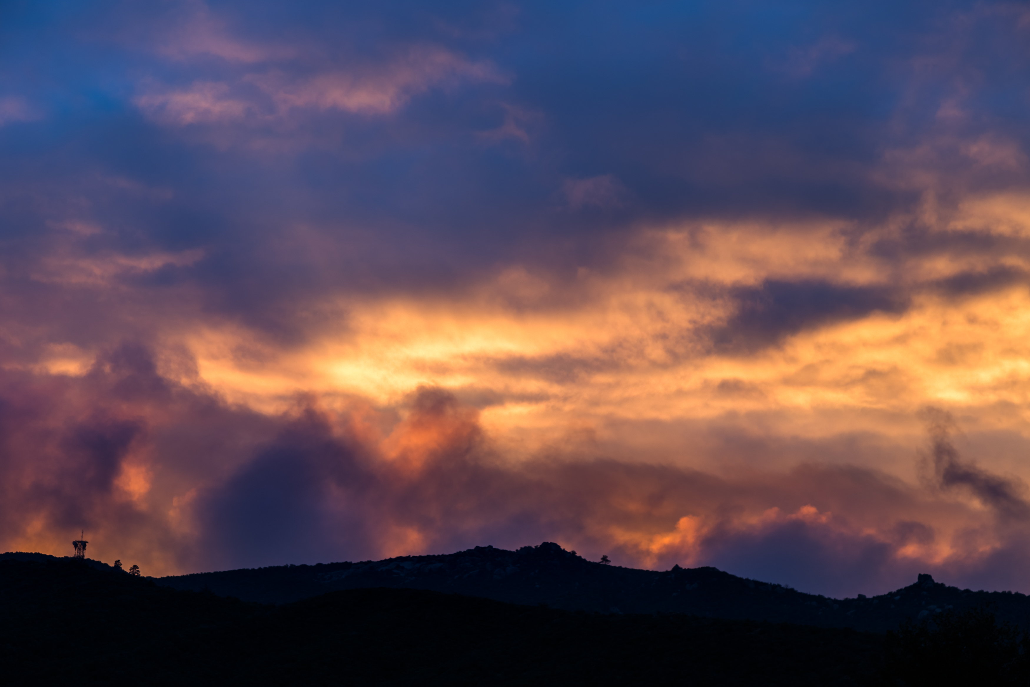
Distant Storm
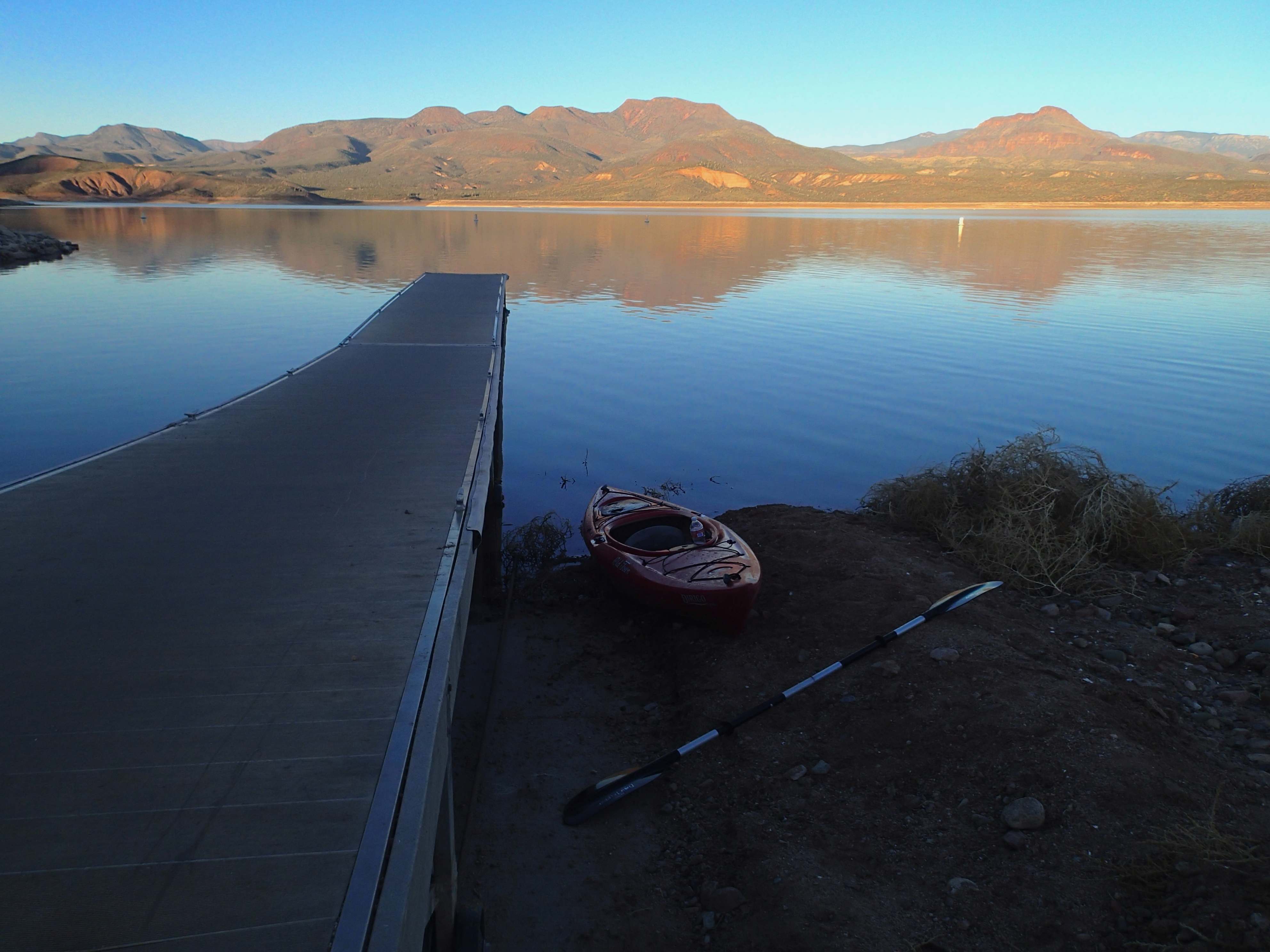
2013/365/363 Sunset on Roosevelt Lake
IMG_5924-
IMG_5947-
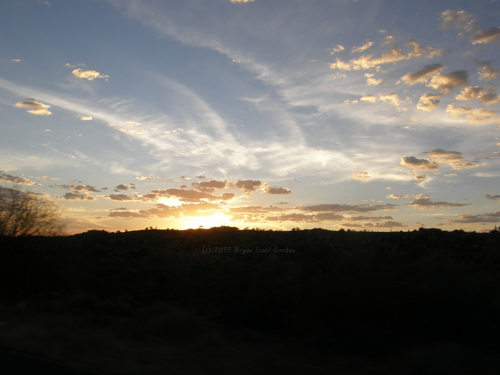
031415-Setting Sun Hwy 87
IMG_5976
IMG_6007
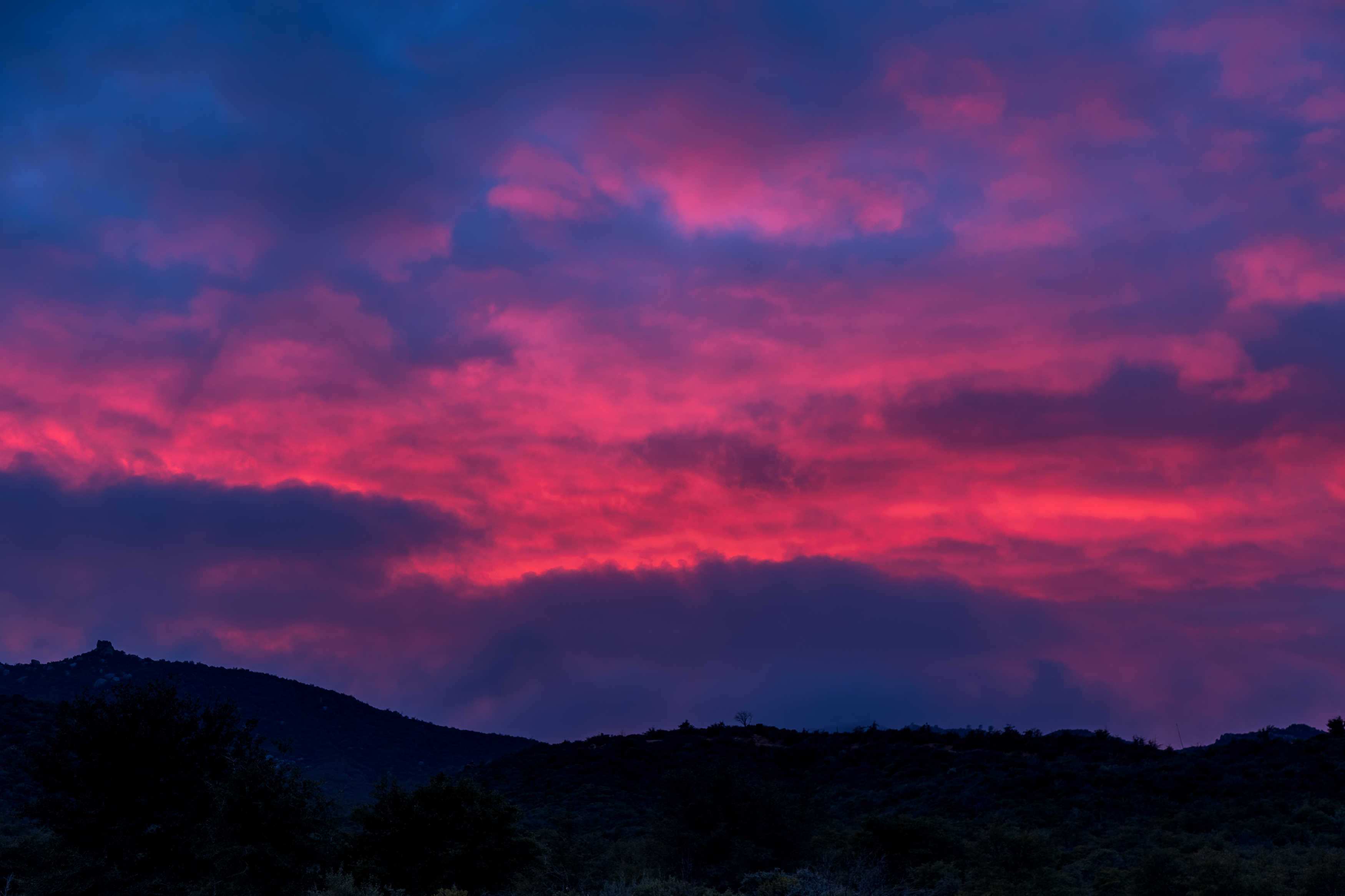
Not Happening

Four Peaks Rd (FR143)

Four Peaks Rd (FR143)

Four Peaks Rd (FR143)

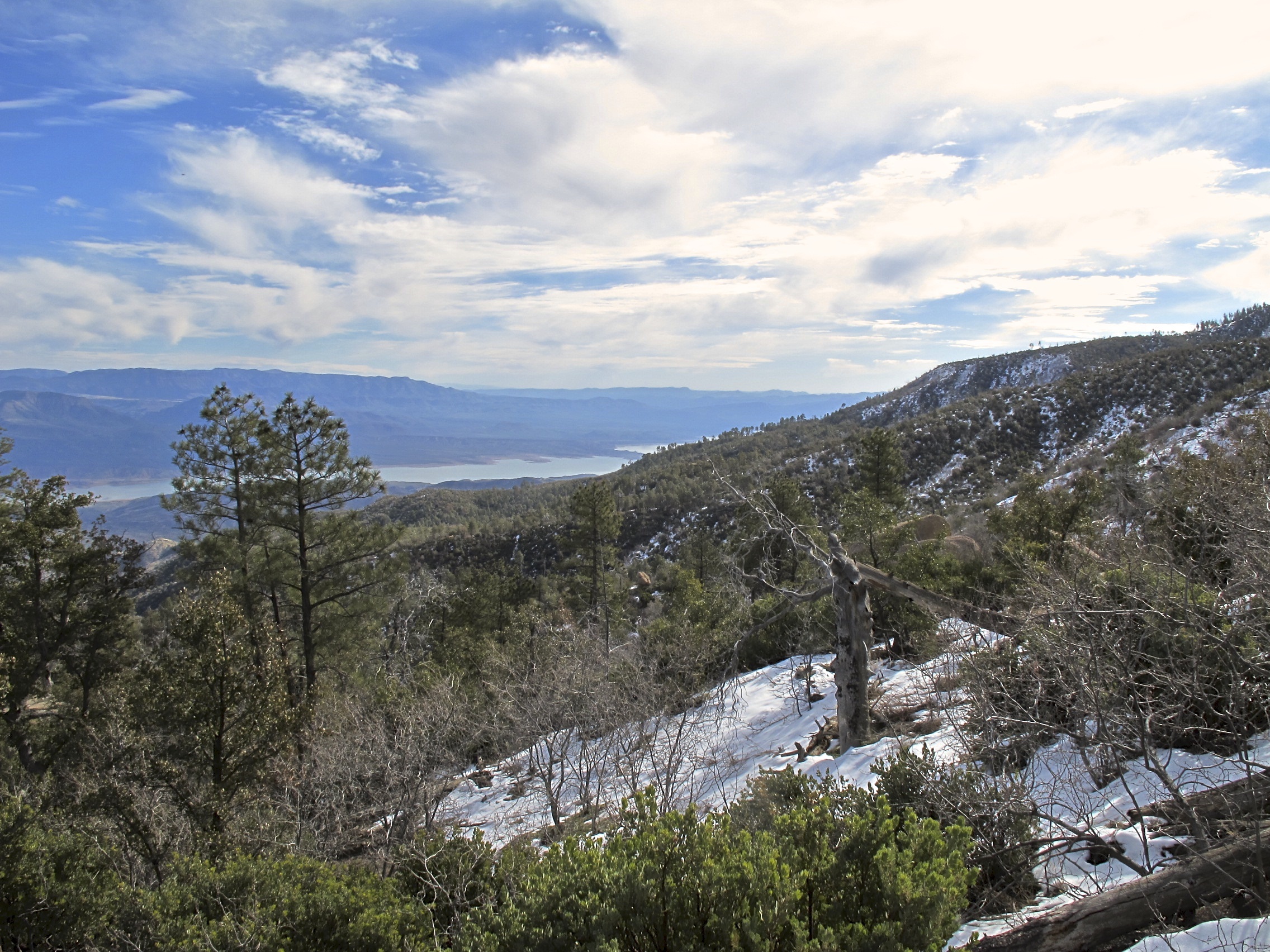
View from the top of Mt Ord, Gila County, Arizona

Four Peaks Rd (FR143)

Four Peaks Rd (FR143)

Four Peaks Rd (FR143)

Four Peaks Rd (FR143)
Desert Highway

Four Peaks Rd (FR143)

Four Peaks Rd (FR143)

Four Peaks Rd (FR143)

Four Peaks Rd (FR143)

Four Peaks Rd (FR143)

Four Peaks Rd (FR143)

Four Peaks Rd (FR143)

Four Peaks Rd (FR143)

Four Peaks Rd (FR143)

Four Peaks Rd (FR143)
6. A view toward Theodore Roosevelt Lake from Browns Trail #133
Rocky Rd, Tonto Basin, AZ, USA Karte
Suchen Sie einen anderen Ort
Nahe Plätze
Tonto Basin, AZ, USA
Punkin Center, Tonto Basin, AZ, USA
Whitney Ranch Estates, AZ, USA
Rio Verde, Arizona, USA
Deercreek Drive, Deercreek Dr, Arizona, USA
Deercreek Dr, Payson, AZ, USA
Deercreek Dr, Payson, AZ, USA
Gisela, Arizona, USA
Mazatzal Peak, Arizona, USA
Oxbow Trail, Payson, AZ, USA
Oxbow Trail, Payson, AZ, USA
North Peak, Arizona, USA
West Gibson Ranch Road, W Gibson Ranch Rd, Payson, AZ, USA
Mazatzal Hotel & Casino, Highway 87, Mile Marker, Payson, AZ, USA
E Phoenix St, Payson, AZ, USA
Payson, Arizona, USA
W Frontier St, Payson, AZ, USA
S Tonto St, Payson, AZ, USA
Days Inn & Suites by Wyndham Payson, S Beeline Hwy A, Payson, AZ, USA
S Beeline Hwy, Payson, AZ, USA
Letzte Suche
- Red Dog Mine, AK, USA Sonnenaufgang Sonnenuntergang Zeiten
- Am Bahnhof, Am bhf, Borken, Germany Sonnenaufgang Sonnenuntergang Zeiten
- 4th St E, Sonoma, CA, USA Sonnenaufgang Sonnenuntergang Zeiten
- Oakland Ave, Williamsport, PA, USA Sonnenaufgang Sonnenuntergang Zeiten
- Via Roma, Pieranica CR, Italien Sonnenaufgang Sonnenuntergang Zeiten
- Glockenturm, Grad, Dubrovnik, Kroatien Sonnenaufgang Sonnenuntergang Zeiten
- Trelew, Chubut Province, Argentina Sonnenaufgang Sonnenuntergang Zeiten
- Hartfords Bluff Cir, Mt Pleasant, SC, USA Sonnenaufgang Sonnenuntergang Zeiten
- Kita-ku, Kumamoto, Präfektur Kumamoto, Japan Sonnenaufgang Sonnenuntergang Zeiten
- Pingtan Island, Pingtan County, Fuzhou, China Sonnenaufgang Sonnenuntergang Zeiten