Rock Creek Rd, Emigrant, MT, USA Sonnenaufgang Sonnenuntergang Zeiten
Location: USA > Montana > Park County > Emigrant >
Zeitzone:
America/Denver
Ortszeit:
2025-06-29 12:12:32
Länge:
-110.951177
Breite:
45.218317
Sonnenaufgang Heute:
05:40:00 AM
Sonnenuntergang Heute:
09:15:18 PM
Tageslänge heute:
15h 35m 18s
Sonnenaufgang morgen:
05:40:35 AM
Sonnenuntergang Morgen:
09:15:06 PM
Tageslänge von morgen:
15h 34m 31s
Alle Termine anzeigen
| Datum | Sonnenaufgang | Sonnenuntergang | Tageslänge |
|---|---|---|---|
| 2025-01-01 | 08:02:44 AM | 04:53:15 PM | 8h 50m 31s |
| 2025-01-02 | 08:02:41 AM | 04:54:13 PM | 8h 51m 32s |
| 2025-01-03 | 08:02:36 AM | 04:55:13 PM | 8h 52m 37s |
| 2025-01-04 | 08:02:28 AM | 04:56:15 PM | 8h 53m 47s |
| 2025-01-05 | 08:02:17 AM | 04:57:18 PM | 8h 55m 1s |
| 2025-01-06 | 08:02:04 AM | 04:58:23 PM | 8h 56m 19s |
| 2025-01-07 | 08:01:48 AM | 04:59:29 PM | 8h 57m 41s |
| 2025-01-08 | 08:01:29 AM | 05:00:38 PM | 8h 59m 9s |
| 2025-01-09 | 08:01:08 AM | 05:01:47 PM | 9h 0m 39s |
| 2025-01-10 | 08:00:44 AM | 05:02:58 PM | 9h 2m 14s |
| 2025-01-11 | 08:00:18 AM | 05:04:10 PM | 9h 3m 52s |
| 2025-01-12 | 07:59:50 AM | 05:05:24 PM | 9h 5m 34s |
| 2025-01-13 | 07:59:18 AM | 05:06:38 PM | 9h 7m 20s |
| 2025-01-14 | 07:58:45 AM | 05:07:54 PM | 9h 9m 9s |
| 2025-01-15 | 07:58:09 AM | 05:09:11 PM | 9h 11m 2s |
| 2025-01-16 | 07:57:30 AM | 05:10:29 PM | 9h 12m 59s |
| 2025-01-17 | 07:56:49 AM | 05:11:48 PM | 9h 14m 59s |
| 2025-01-18 | 07:56:06 AM | 05:13:08 PM | 9h 17m 2s |
| 2025-01-19 | 07:55:21 AM | 05:14:28 PM | 9h 19m 7s |
| 2025-01-20 | 07:54:33 AM | 05:15:50 PM | 9h 21m 17s |
| 2025-01-21 | 07:53:43 AM | 05:17:12 PM | 9h 23m 29s |
| 2025-01-22 | 07:52:51 AM | 05:18:34 PM | 9h 25m 43s |
| 2025-01-23 | 07:51:56 AM | 05:19:58 PM | 9h 28m 2s |
| 2025-01-24 | 07:51:00 AM | 05:21:22 PM | 9h 30m 22s |
| 2025-01-25 | 07:50:01 AM | 05:22:46 PM | 9h 32m 45s |
| 2025-01-26 | 07:49:01 AM | 05:24:11 PM | 9h 35m 10s |
| 2025-01-27 | 07:47:58 AM | 05:25:36 PM | 9h 37m 38s |
| 2025-01-28 | 07:46:53 AM | 05:27:01 PM | 9h 40m 8s |
| 2025-01-29 | 07:45:47 AM | 05:28:27 PM | 9h 42m 40s |
| 2025-01-30 | 07:44:38 AM | 05:29:53 PM | 9h 45m 15s |
| 2025-01-31 | 07:43:28 AM | 05:31:20 PM | 9h 47m 52s |
| 2025-02-01 | 07:42:16 AM | 05:32:46 PM | 9h 50m 30s |
| 2025-02-02 | 07:41:02 AM | 05:34:13 PM | 9h 53m 11s |
| 2025-02-03 | 07:39:47 AM | 05:35:39 PM | 9h 55m 52s |
| 2025-02-04 | 07:38:29 AM | 05:37:06 PM | 9h 58m 37s |
| 2025-02-05 | 07:37:10 AM | 05:38:33 PM | 10h 1m 23s |
| 2025-02-06 | 07:35:50 AM | 05:40:00 PM | 10h 4m 10s |
| 2025-02-07 | 07:34:28 AM | 05:41:26 PM | 10h 6m 58s |
| 2025-02-08 | 07:33:04 AM | 05:42:53 PM | 10h 9m 49s |
| 2025-02-09 | 07:31:39 AM | 05:44:20 PM | 10h 12m 41s |
| 2025-02-10 | 07:30:13 AM | 05:45:46 PM | 10h 15m 33s |
| 2025-02-11 | 07:28:45 AM | 05:47:12 PM | 10h 18m 27s |
| 2025-02-12 | 07:27:16 AM | 05:48:39 PM | 10h 21m 23s |
| 2025-02-13 | 07:25:46 AM | 05:50:05 PM | 10h 24m 19s |
| 2025-02-14 | 07:24:14 AM | 05:51:31 PM | 10h 27m 17s |
| 2025-02-15 | 07:22:41 AM | 05:52:56 PM | 10h 30m 15s |
| 2025-02-16 | 07:21:07 AM | 05:54:22 PM | 10h 33m 15s |
| 2025-02-17 | 07:19:31 AM | 05:55:47 PM | 10h 36m 16s |
| 2025-02-18 | 07:17:55 AM | 05:57:12 PM | 10h 39m 17s |
| 2025-02-19 | 07:16:17 AM | 05:58:37 PM | 10h 42m 20s |
| 2025-02-20 | 07:14:39 AM | 06:00:01 PM | 10h 45m 22s |
| 2025-02-21 | 07:12:59 AM | 06:01:25 PM | 10h 48m 26s |
| 2025-02-22 | 07:11:19 AM | 06:02:49 PM | 10h 51m 30s |
| 2025-02-23 | 07:09:37 AM | 06:04:13 PM | 10h 54m 36s |
| 2025-02-24 | 07:07:55 AM | 06:05:36 PM | 10h 57m 41s |
| 2025-02-25 | 07:06:12 AM | 06:06:59 PM | 11h 0m 47s |
| 2025-02-26 | 07:04:28 AM | 06:08:22 PM | 11h 3m 54s |
| 2025-02-27 | 07:02:43 AM | 06:09:45 PM | 11h 7m 2s |
| 2025-02-28 | 07:00:58 AM | 06:11:07 PM | 11h 10m 9s |
| 2025-03-01 | 06:59:11 AM | 06:12:29 PM | 11h 13m 18s |
| 2025-03-02 | 06:57:24 AM | 06:13:50 PM | 11h 16m 26s |
| 2025-03-03 | 06:55:37 AM | 06:15:12 PM | 11h 19m 35s |
| 2025-03-04 | 06:53:49 AM | 06:16:33 PM | 11h 22m 44s |
| 2025-03-05 | 06:52:00 AM | 06:17:54 PM | 11h 25m 54s |
| 2025-03-06 | 06:50:11 AM | 06:19:14 PM | 11h 29m 3s |
| 2025-03-07 | 06:48:21 AM | 06:20:35 PM | 11h 32m 14s |
| 2025-03-08 | 06:46:31 AM | 06:21:55 PM | 11h 35m 24s |
| 2025-03-09 | 07:44:45 AM | 07:23:11 PM | 11h 38m 26s |
| 2025-03-10 | 07:42:54 AM | 07:24:31 PM | 11h 41m 37s |
| 2025-03-11 | 07:41:02 AM | 07:25:50 PM | 11h 44m 48s |
| 2025-03-12 | 07:39:11 AM | 07:27:10 PM | 11h 47m 59s |
| 2025-03-13 | 07:37:19 AM | 07:28:29 PM | 11h 51m 10s |
| 2025-03-14 | 07:35:26 AM | 07:29:47 PM | 11h 54m 21s |
| 2025-03-15 | 07:33:34 AM | 07:31:06 PM | 11h 57m 32s |
| 2025-03-16 | 07:31:41 AM | 07:32:24 PM | 12h 0m 43s |
| 2025-03-17 | 07:29:48 AM | 07:33:42 PM | 12h 3m 54s |
| 2025-03-18 | 07:27:55 AM | 07:35:00 PM | 12h 7m 5s |
| 2025-03-19 | 07:26:01 AM | 07:36:18 PM | 12h 10m 17s |
| 2025-03-20 | 07:24:08 AM | 07:37:36 PM | 12h 13m 28s |
| 2025-03-21 | 07:22:14 AM | 07:38:54 PM | 12h 16m 40s |
| 2025-03-22 | 07:20:21 AM | 07:40:11 PM | 12h 19m 50s |
| 2025-03-23 | 07:18:28 AM | 07:41:29 PM | 12h 23m 1s |
| 2025-03-24 | 07:16:34 AM | 07:42:46 PM | 12h 26m 12s |
| 2025-03-25 | 07:14:41 AM | 07:44:03 PM | 12h 29m 22s |
| 2025-03-26 | 07:12:47 AM | 07:45:20 PM | 12h 32m 33s |
| 2025-03-27 | 07:10:54 AM | 07:46:37 PM | 12h 35m 43s |
| 2025-03-28 | 07:09:01 AM | 07:47:54 PM | 12h 38m 53s |
| 2025-03-29 | 07:07:09 AM | 07:49:11 PM | 12h 42m 2s |
| 2025-03-30 | 07:05:16 AM | 07:50:27 PM | 12h 45m 11s |
| 2025-03-31 | 07:03:24 AM | 07:51:44 PM | 12h 48m 20s |
| 2025-04-01 | 07:01:32 AM | 07:53:01 PM | 12h 51m 29s |
| 2025-04-02 | 06:59:40 AM | 07:54:17 PM | 12h 54m 37s |
| 2025-04-03 | 06:57:48 AM | 07:55:34 PM | 12h 57m 46s |
| 2025-04-04 | 06:55:57 AM | 07:56:51 PM | 13h 0m 54s |
| 2025-04-05 | 06:54:07 AM | 07:58:07 PM | 13h 4m 0s |
| 2025-04-06 | 06:52:17 AM | 07:59:24 PM | 13h 7m 7s |
| 2025-04-07 | 06:50:27 AM | 08:00:40 PM | 13h 10m 13s |
| 2025-04-08 | 06:48:38 AM | 08:01:57 PM | 13h 13m 19s |
| 2025-04-09 | 06:46:49 AM | 08:03:13 PM | 13h 16m 24s |
| 2025-04-10 | 06:45:01 AM | 08:04:30 PM | 13h 19m 29s |
| 2025-04-11 | 06:43:14 AM | 08:05:47 PM | 13h 22m 33s |
| 2025-04-12 | 06:41:27 AM | 08:07:03 PM | 13h 25m 36s |
| 2025-04-13 | 06:39:41 AM | 08:08:20 PM | 13h 28m 39s |
| 2025-04-14 | 06:37:55 AM | 08:09:36 PM | 13h 31m 41s |
| 2025-04-15 | 06:36:10 AM | 08:10:53 PM | 13h 34m 43s |
| 2025-04-16 | 06:34:26 AM | 08:12:09 PM | 13h 37m 43s |
| 2025-04-17 | 06:32:43 AM | 08:13:26 PM | 13h 40m 43s |
| 2025-04-18 | 06:31:01 AM | 08:14:42 PM | 13h 43m 41s |
| 2025-04-19 | 06:29:19 AM | 08:15:58 PM | 13h 46m 39s |
| 2025-04-20 | 06:27:39 AM | 08:17:15 PM | 13h 49m 36s |
| 2025-04-21 | 06:25:59 AM | 08:18:31 PM | 13h 52m 32s |
| 2025-04-22 | 06:24:20 AM | 08:19:47 PM | 13h 55m 27s |
| 2025-04-23 | 06:22:43 AM | 08:21:04 PM | 13h 58m 21s |
| 2025-04-24 | 06:21:06 AM | 08:22:20 PM | 14h 1m 14s |
| 2025-04-25 | 06:19:30 AM | 08:23:36 PM | 14h 4m 6s |
| 2025-04-26 | 06:17:56 AM | 08:24:52 PM | 14h 6m 56s |
| 2025-04-27 | 06:16:23 AM | 08:26:07 PM | 14h 9m 44s |
| 2025-04-28 | 06:14:51 AM | 08:27:23 PM | 14h 12m 32s |
| 2025-04-29 | 06:13:20 AM | 08:28:38 PM | 14h 15m 18s |
| 2025-04-30 | 06:11:50 AM | 08:29:54 PM | 14h 18m 4s |
| 2025-05-01 | 06:10:22 AM | 08:31:09 PM | 14h 20m 47s |
| 2025-05-02 | 06:08:55 AM | 08:32:23 PM | 14h 23m 28s |
| 2025-05-03 | 06:07:29 AM | 08:33:38 PM | 14h 26m 9s |
| 2025-05-04 | 06:06:05 AM | 08:34:52 PM | 14h 28m 47s |
| 2025-05-05 | 06:04:42 AM | 08:36:06 PM | 14h 31m 24s |
| 2025-05-06 | 06:03:21 AM | 08:37:20 PM | 14h 33m 59s |
| 2025-05-07 | 06:02:01 AM | 08:38:33 PM | 14h 36m 32s |
| 2025-05-08 | 06:00:43 AM | 08:39:46 PM | 14h 39m 3s |
| 2025-05-09 | 05:59:26 AM | 08:40:58 PM | 14h 41m 32s |
| 2025-05-10 | 05:58:11 AM | 08:42:10 PM | 14h 43m 59s |
| 2025-05-11 | 05:56:58 AM | 08:43:21 PM | 14h 46m 23s |
| 2025-05-12 | 05:55:46 AM | 08:44:32 PM | 14h 48m 46s |
| 2025-05-13 | 05:54:37 AM | 08:45:42 PM | 14h 51m 5s |
| 2025-05-14 | 05:53:28 AM | 08:46:52 PM | 14h 53m 24s |
| 2025-05-15 | 05:52:22 AM | 08:48:00 PM | 14h 55m 38s |
| 2025-05-16 | 05:51:18 AM | 08:49:09 PM | 14h 57m 51s |
| 2025-05-17 | 05:50:15 AM | 08:50:16 PM | 15h 0m 1s |
| 2025-05-18 | 05:49:14 AM | 08:51:22 PM | 15h 2m 8s |
| 2025-05-19 | 05:48:16 AM | 08:52:28 PM | 15h 4m 12s |
| 2025-05-20 | 05:47:19 AM | 08:53:33 PM | 15h 6m 14s |
| 2025-05-21 | 05:46:24 AM | 08:54:37 PM | 15h 8m 13s |
| 2025-05-22 | 05:45:31 AM | 08:55:40 PM | 15h 10m 9s |
| 2025-05-23 | 05:44:41 AM | 08:56:42 PM | 15h 12m 1s |
| 2025-05-24 | 05:43:52 AM | 08:57:42 PM | 15h 13m 50s |
| 2025-05-25 | 05:43:05 AM | 08:58:42 PM | 15h 15m 37s |
| 2025-05-26 | 05:42:21 AM | 08:59:40 PM | 15h 17m 19s |
| 2025-05-27 | 05:41:39 AM | 09:00:37 PM | 15h 18m 58s |
| 2025-05-28 | 05:40:59 AM | 09:01:33 PM | 15h 20m 34s |
| 2025-05-29 | 05:40:21 AM | 09:02:28 PM | 15h 22m 7s |
| 2025-05-30 | 05:39:46 AM | 09:03:21 PM | 15h 23m 35s |
| 2025-05-31 | 05:39:12 AM | 09:04:12 PM | 15h 25m 0s |
| 2025-06-01 | 05:38:41 AM | 09:05:03 PM | 15h 26m 22s |
| 2025-06-02 | 05:38:13 AM | 09:05:51 PM | 15h 27m 38s |
| 2025-06-03 | 05:37:46 AM | 09:06:38 PM | 15h 28m 52s |
| 2025-06-04 | 05:37:22 AM | 09:07:23 PM | 15h 30m 1s |
| 2025-06-05 | 05:37:01 AM | 09:08:07 PM | 15h 31m 6s |
| 2025-06-06 | 05:36:41 AM | 09:08:49 PM | 15h 32m 8s |
| 2025-06-07 | 05:36:24 AM | 09:09:29 PM | 15h 33m 5s |
| 2025-06-08 | 05:36:09 AM | 09:10:07 PM | 15h 33m 58s |
| 2025-06-09 | 05:35:57 AM | 09:10:44 PM | 15h 34m 47s |
| 2025-06-10 | 05:35:47 AM | 09:11:18 PM | 15h 35m 31s |
| 2025-06-11 | 05:35:39 AM | 09:11:51 PM | 15h 36m 12s |
| 2025-06-12 | 05:35:34 AM | 09:12:21 PM | 15h 36m 47s |
| 2025-06-13 | 05:35:31 AM | 09:12:50 PM | 15h 37m 19s |
| 2025-06-14 | 05:35:30 AM | 09:13:16 PM | 15h 37m 46s |
| 2025-06-15 | 05:35:32 AM | 09:13:40 PM | 15h 38m 8s |
| 2025-06-16 | 05:35:36 AM | 09:14:02 PM | 15h 38m 26s |
| 2025-06-17 | 05:35:42 AM | 09:14:22 PM | 15h 38m 40s |
| 2025-06-18 | 05:35:51 AM | 09:14:40 PM | 15h 38m 49s |
| 2025-06-19 | 05:36:01 AM | 09:14:55 PM | 15h 38m 54s |
| 2025-06-20 | 05:36:14 AM | 09:15:08 PM | 15h 38m 54s |
| 2025-06-21 | 05:36:29 AM | 09:15:19 PM | 15h 38m 50s |
| 2025-06-22 | 05:36:47 AM | 09:15:28 PM | 15h 38m 41s |
| 2025-06-23 | 05:37:06 AM | 09:15:34 PM | 15h 38m 28s |
| 2025-06-24 | 05:37:28 AM | 09:15:38 PM | 15h 38m 10s |
| 2025-06-25 | 05:37:52 AM | 09:15:39 PM | 15h 37m 47s |
| 2025-06-26 | 05:38:17 AM | 09:15:39 PM | 15h 37m 22s |
| 2025-06-27 | 05:38:45 AM | 09:15:35 PM | 15h 36m 50s |
| 2025-06-28 | 05:39:15 AM | 09:15:30 PM | 15h 36m 15s |
| 2025-06-29 | 05:39:46 AM | 09:15:22 PM | 15h 35m 36s |
| 2025-06-30 | 05:40:20 AM | 09:15:11 PM | 15h 34m 51s |
| 2025-07-01 | 05:40:55 AM | 09:14:59 PM | 15h 34m 4s |
| 2025-07-02 | 05:41:33 AM | 09:14:43 PM | 15h 33m 10s |
| 2025-07-03 | 05:42:12 AM | 09:14:26 PM | 15h 32m 14s |
| 2025-07-04 | 05:42:52 AM | 09:14:06 PM | 15h 31m 14s |
| 2025-07-05 | 05:43:35 AM | 09:13:44 PM | 15h 30m 9s |
| 2025-07-06 | 05:44:19 AM | 09:13:19 PM | 15h 29m 0s |
| 2025-07-07 | 05:45:04 AM | 09:12:52 PM | 15h 27m 48s |
| 2025-07-08 | 05:45:51 AM | 09:12:22 PM | 15h 26m 31s |
| 2025-07-09 | 05:46:40 AM | 09:11:51 PM | 15h 25m 11s |
| 2025-07-10 | 05:47:30 AM | 09:11:17 PM | 15h 23m 47s |
| 2025-07-11 | 05:48:21 AM | 09:10:41 PM | 15h 22m 20s |
| 2025-07-12 | 05:49:14 AM | 09:10:02 PM | 15h 20m 48s |
| 2025-07-13 | 05:50:08 AM | 09:09:21 PM | 15h 19m 13s |
| 2025-07-14 | 05:51:03 AM | 09:08:38 PM | 15h 17m 35s |
| 2025-07-15 | 05:51:59 AM | 09:07:53 PM | 15h 15m 54s |
| 2025-07-16 | 05:52:57 AM | 09:07:06 PM | 15h 14m 9s |
| 2025-07-17 | 05:53:55 AM | 09:06:16 PM | 15h 12m 21s |
| 2025-07-18 | 05:54:55 AM | 09:05:25 PM | 15h 10m 30s |
| 2025-07-19 | 05:55:55 AM | 09:04:31 PM | 15h 8m 36s |
| 2025-07-20 | 05:56:57 AM | 09:03:35 PM | 15h 6m 38s |
| 2025-07-21 | 05:57:59 AM | 09:02:37 PM | 15h 4m 38s |
| 2025-07-22 | 05:59:02 AM | 09:01:38 PM | 15h 2m 36s |
| 2025-07-23 | 06:00:06 AM | 09:00:36 PM | 15h 0m 30s |
| 2025-07-24 | 06:01:11 AM | 08:59:32 PM | 14h 58m 21s |
| 2025-07-25 | 06:02:16 AM | 08:58:27 PM | 14h 56m 11s |
| 2025-07-26 | 06:03:22 AM | 08:57:19 PM | 14h 53m 57s |
| 2025-07-27 | 06:04:29 AM | 08:56:10 PM | 14h 51m 41s |
| 2025-07-28 | 06:05:36 AM | 08:54:59 PM | 14h 49m 23s |
| 2025-07-29 | 06:06:44 AM | 08:53:46 PM | 14h 47m 2s |
| 2025-07-30 | 06:07:52 AM | 08:52:32 PM | 14h 44m 40s |
| 2025-07-31 | 06:09:01 AM | 08:51:16 PM | 14h 42m 15s |
| 2025-08-01 | 06:10:10 AM | 08:49:58 PM | 14h 39m 48s |
| 2025-08-02 | 06:11:19 AM | 08:48:39 PM | 14h 37m 20s |
| 2025-08-03 | 06:12:29 AM | 08:47:18 PM | 14h 34m 49s |
| 2025-08-04 | 06:13:39 AM | 08:45:56 PM | 14h 32m 17s |
| 2025-08-05 | 06:14:50 AM | 08:44:32 PM | 14h 29m 42s |
| 2025-08-06 | 06:16:00 AM | 08:43:06 PM | 14h 27m 6s |
| 2025-08-07 | 06:17:11 AM | 08:41:39 PM | 14h 24m 28s |
| 2025-08-08 | 06:18:22 AM | 08:40:11 PM | 14h 21m 49s |
| 2025-08-09 | 06:19:34 AM | 08:38:42 PM | 14h 19m 8s |
| 2025-08-10 | 06:20:45 AM | 08:37:11 PM | 14h 16m 26s |
| 2025-08-11 | 06:21:57 AM | 08:35:39 PM | 14h 13m 42s |
| 2025-08-12 | 06:23:09 AM | 08:34:06 PM | 14h 10m 57s |
| 2025-08-13 | 06:24:21 AM | 08:32:31 PM | 14h 8m 10s |
| 2025-08-14 | 06:25:33 AM | 08:30:55 PM | 14h 5m 22s |
| 2025-08-15 | 06:26:45 AM | 08:29:19 PM | 14h 2m 34s |
| 2025-08-16 | 06:27:57 AM | 08:27:41 PM | 13h 59m 44s |
| 2025-08-17 | 06:29:09 AM | 08:26:02 PM | 13h 56m 53s |
| 2025-08-18 | 06:30:21 AM | 08:24:22 PM | 13h 54m 1s |
| 2025-08-19 | 06:31:33 AM | 08:22:41 PM | 13h 51m 8s |
| 2025-08-20 | 06:32:46 AM | 08:20:59 PM | 13h 48m 13s |
| 2025-08-21 | 06:33:58 AM | 08:19:16 PM | 13h 45m 18s |
| 2025-08-22 | 06:35:10 AM | 08:17:32 PM | 13h 42m 22s |
| 2025-08-23 | 06:36:22 AM | 08:15:48 PM | 13h 39m 26s |
| 2025-08-24 | 06:37:35 AM | 08:14:03 PM | 13h 36m 28s |
| 2025-08-25 | 06:38:47 AM | 08:12:16 PM | 13h 33m 29s |
| 2025-08-26 | 06:39:59 AM | 08:10:30 PM | 13h 30m 31s |
| 2025-08-27 | 06:41:11 AM | 08:08:42 PM | 13h 27m 31s |
| 2025-08-28 | 06:42:23 AM | 08:06:54 PM | 13h 24m 31s |
| 2025-08-29 | 06:43:35 AM | 08:05:05 PM | 13h 21m 30s |
| 2025-08-30 | 06:44:47 AM | 08:03:15 PM | 13h 18m 28s |
| 2025-08-31 | 06:45:59 AM | 08:01:25 PM | 13h 15m 26s |
| 2025-09-01 | 06:47:11 AM | 07:59:34 PM | 13h 12m 23s |
| 2025-09-02 | 06:48:23 AM | 07:57:43 PM | 13h 9m 20s |
| 2025-09-03 | 06:49:35 AM | 07:55:52 PM | 13h 6m 17s |
| 2025-09-04 | 06:50:47 AM | 07:53:59 PM | 13h 3m 12s |
| 2025-09-05 | 06:51:59 AM | 07:52:07 PM | 13h 0m 8s |
| 2025-09-06 | 06:53:11 AM | 07:50:14 PM | 12h 57m 3s |
| 2025-09-07 | 06:54:23 AM | 07:48:21 PM | 12h 53m 58s |
| 2025-09-08 | 06:55:35 AM | 07:46:27 PM | 12h 50m 52s |
| 2025-09-09 | 06:56:47 AM | 07:44:33 PM | 12h 47m 46s |
| 2025-09-10 | 06:57:59 AM | 07:42:39 PM | 12h 44m 40s |
| 2025-09-11 | 06:59:11 AM | 07:40:44 PM | 12h 41m 33s |
| 2025-09-12 | 07:00:23 AM | 07:38:49 PM | 12h 38m 26s |
| 2025-09-13 | 07:01:35 AM | 07:36:55 PM | 12h 35m 20s |
| 2025-09-14 | 07:02:48 AM | 07:35:00 PM | 12h 32m 12s |
| 2025-09-15 | 07:04:00 AM | 07:33:04 PM | 12h 29m 4s |
| 2025-09-16 | 07:05:12 AM | 07:31:09 PM | 12h 25m 57s |
| 2025-09-17 | 07:06:25 AM | 07:29:14 PM | 12h 22m 49s |
| 2025-09-18 | 07:07:37 AM | 07:27:18 PM | 12h 19m 41s |
| 2025-09-19 | 07:08:50 AM | 07:25:23 PM | 12h 16m 33s |
| 2025-09-20 | 07:10:03 AM | 07:23:28 PM | 12h 13m 25s |
| 2025-09-21 | 07:11:16 AM | 07:21:33 PM | 12h 10m 17s |
| 2025-09-22 | 07:12:29 AM | 07:19:37 PM | 12h 7m 8s |
| 2025-09-23 | 07:13:42 AM | 07:17:42 PM | 12h 4m 0s |
| 2025-09-24 | 07:14:55 AM | 07:15:47 PM | 12h 0m 52s |
| 2025-09-25 | 07:16:09 AM | 07:13:53 PM | 11h 57m 44s |
| 2025-09-26 | 07:17:22 AM | 07:11:58 PM | 11h 54m 36s |
| 2025-09-27 | 07:18:36 AM | 07:10:04 PM | 11h 51m 28s |
| 2025-09-28 | 07:19:51 AM | 07:08:10 PM | 11h 48m 19s |
| 2025-09-29 | 07:21:05 AM | 07:06:16 PM | 11h 45m 11s |
| 2025-09-30 | 07:22:19 AM | 07:04:23 PM | 11h 42m 4s |
| 2025-10-01 | 07:23:34 AM | 07:02:30 PM | 11h 38m 56s |
| 2025-10-02 | 07:24:49 AM | 07:00:37 PM | 11h 35m 48s |
| 2025-10-03 | 07:26:05 AM | 06:58:45 PM | 11h 32m 40s |
| 2025-10-04 | 07:27:20 AM | 06:56:53 PM | 11h 29m 33s |
| 2025-10-05 | 07:28:36 AM | 06:55:02 PM | 11h 26m 26s |
| 2025-10-06 | 07:29:52 AM | 06:53:11 PM | 11h 23m 19s |
| 2025-10-07 | 07:31:08 AM | 06:51:21 PM | 11h 20m 13s |
| 2025-10-08 | 07:32:25 AM | 06:49:32 PM | 11h 17m 7s |
| 2025-10-09 | 07:33:42 AM | 06:47:43 PM | 11h 14m 1s |
| 2025-10-10 | 07:34:59 AM | 06:45:54 PM | 11h 10m 55s |
| 2025-10-11 | 07:36:17 AM | 06:44:07 PM | 11h 7m 50s |
| 2025-10-12 | 07:37:35 AM | 06:42:20 PM | 11h 4m 45s |
| 2025-10-13 | 07:38:53 AM | 06:40:34 PM | 11h 1m 41s |
| 2025-10-14 | 07:40:11 AM | 06:38:49 PM | 10h 58m 38s |
| 2025-10-15 | 07:41:30 AM | 06:37:04 PM | 10h 55m 34s |
| 2025-10-16 | 07:42:49 AM | 06:35:21 PM | 10h 52m 32s |
| 2025-10-17 | 07:44:09 AM | 06:33:38 PM | 10h 49m 29s |
| 2025-10-18 | 07:45:28 AM | 06:31:56 PM | 10h 46m 28s |
| 2025-10-19 | 07:46:48 AM | 06:30:15 PM | 10h 43m 27s |
| 2025-10-20 | 07:48:09 AM | 06:28:36 PM | 10h 40m 27s |
| 2025-10-21 | 07:49:29 AM | 06:26:57 PM | 10h 37m 28s |
| 2025-10-22 | 07:50:50 AM | 06:25:19 PM | 10h 34m 29s |
| 2025-10-23 | 07:52:11 AM | 06:23:43 PM | 10h 31m 32s |
| 2025-10-24 | 07:53:33 AM | 06:22:07 PM | 10h 28m 34s |
| 2025-10-25 | 07:54:54 AM | 06:20:33 PM | 10h 25m 39s |
| 2025-10-26 | 07:56:16 AM | 06:19:00 PM | 10h 22m 44s |
| 2025-10-27 | 07:57:38 AM | 06:17:29 PM | 10h 19m 51s |
| 2025-10-28 | 07:59:01 AM | 06:15:58 PM | 10h 16m 57s |
| 2025-10-29 | 08:00:23 AM | 06:14:29 PM | 10h 14m 6s |
| 2025-10-30 | 08:01:46 AM | 06:13:02 PM | 10h 11m 16s |
| 2025-10-31 | 08:03:09 AM | 06:11:36 PM | 10h 8m 27s |
| 2025-11-01 | 08:04:32 AM | 06:10:11 PM | 10h 5m 39s |
| 2025-11-02 | 07:05:58 AM | 05:08:45 PM | 10h 2m 47s |
| 2025-11-03 | 07:07:21 AM | 05:07:23 PM | 10h 0m 2s |
| 2025-11-04 | 07:08:44 AM | 05:06:03 PM | 9h 57m 19s |
| 2025-11-05 | 07:10:08 AM | 05:04:45 PM | 9h 54m 37s |
| 2025-11-06 | 07:11:31 AM | 05:03:29 PM | 9h 51m 58s |
| 2025-11-07 | 07:12:54 AM | 05:02:14 PM | 9h 49m 20s |
| 2025-11-08 | 07:14:17 AM | 05:01:01 PM | 9h 46m 44s |
| 2025-11-09 | 07:15:40 AM | 04:59:50 PM | 9h 44m 10s |
| 2025-11-10 | 07:17:02 AM | 04:58:40 PM | 9h 41m 38s |
| 2025-11-11 | 07:18:25 AM | 04:57:33 PM | 9h 39m 8s |
| 2025-11-12 | 07:19:47 AM | 04:56:27 PM | 9h 36m 40s |
| 2025-11-13 | 07:21:09 AM | 04:55:24 PM | 9h 34m 15s |
| 2025-11-14 | 07:22:31 AM | 04:54:22 PM | 9h 31m 51s |
| 2025-11-15 | 07:23:52 AM | 04:53:23 PM | 9h 29m 31s |
| 2025-11-16 | 07:25:13 AM | 04:52:25 PM | 9h 27m 12s |
| 2025-11-17 | 07:26:33 AM | 04:51:30 PM | 9h 24m 57s |
| 2025-11-18 | 07:27:53 AM | 04:50:37 PM | 9h 22m 44s |
| 2025-11-19 | 07:29:13 AM | 04:49:47 PM | 9h 20m 34s |
| 2025-11-20 | 07:30:31 AM | 04:48:58 PM | 9h 18m 27s |
| 2025-11-21 | 07:31:49 AM | 04:48:12 PM | 9h 16m 23s |
| 2025-11-22 | 07:33:06 AM | 04:47:28 PM | 9h 14m 22s |
| 2025-11-23 | 07:34:23 AM | 04:46:46 PM | 9h 12m 23s |
| 2025-11-24 | 07:35:38 AM | 04:46:07 PM | 9h 10m 29s |
| 2025-11-25 | 07:36:53 AM | 04:45:31 PM | 9h 8m 38s |
| 2025-11-26 | 07:38:06 AM | 04:44:56 PM | 9h 6m 50s |
| 2025-11-27 | 07:39:19 AM | 04:44:25 PM | 9h 5m 6s |
| 2025-11-28 | 07:40:30 AM | 04:43:55 PM | 9h 3m 25s |
| 2025-11-29 | 07:41:40 AM | 04:43:29 PM | 9h 1m 49s |
| 2025-11-30 | 07:42:49 AM | 04:43:04 PM | 9h 0m 15s |
| 2025-12-01 | 07:43:57 AM | 04:42:43 PM | 8h 58m 46s |
| 2025-12-02 | 07:45:03 AM | 04:42:24 PM | 8h 57m 21s |
| 2025-12-03 | 07:46:08 AM | 04:42:08 PM | 8h 56m 0s |
| 2025-12-04 | 07:47:11 AM | 04:41:54 PM | 8h 54m 43s |
| 2025-12-05 | 07:48:12 AM | 04:41:43 PM | 8h 53m 31s |
| 2025-12-06 | 07:49:12 AM | 04:41:35 PM | 8h 52m 23s |
| 2025-12-07 | 07:50:11 AM | 04:41:29 PM | 8h 51m 18s |
| 2025-12-08 | 07:51:07 AM | 04:41:26 PM | 8h 50m 19s |
| 2025-12-09 | 07:52:02 AM | 04:41:25 PM | 8h 49m 23s |
| 2025-12-10 | 07:52:55 AM | 04:41:28 PM | 8h 48m 33s |
| 2025-12-11 | 07:53:46 AM | 04:41:33 PM | 8h 47m 47s |
| 2025-12-12 | 07:54:35 AM | 04:41:41 PM | 8h 47m 6s |
| 2025-12-13 | 07:55:21 AM | 04:41:51 PM | 8h 46m 30s |
| 2025-12-14 | 07:56:06 AM | 04:42:04 PM | 8h 45m 58s |
| 2025-12-15 | 07:56:49 AM | 04:42:20 PM | 8h 45m 31s |
| 2025-12-16 | 07:57:29 AM | 04:42:38 PM | 8h 45m 9s |
| 2025-12-17 | 07:58:07 AM | 04:42:59 PM | 8h 44m 52s |
| 2025-12-18 | 07:58:43 AM | 04:43:22 PM | 8h 44m 39s |
| 2025-12-19 | 07:59:16 AM | 04:43:48 PM | 8h 44m 32s |
| 2025-12-20 | 07:59:47 AM | 04:44:17 PM | 8h 44m 30s |
| 2025-12-21 | 08:00:16 AM | 04:44:48 PM | 8h 44m 32s |
| 2025-12-22 | 08:00:42 AM | 04:45:21 PM | 8h 44m 39s |
| 2025-12-23 | 08:01:06 AM | 04:45:57 PM | 8h 44m 51s |
| 2025-12-24 | 08:01:27 AM | 04:46:35 PM | 8h 45m 8s |
| 2025-12-25 | 08:01:46 AM | 04:47:16 PM | 8h 45m 30s |
| 2025-12-26 | 08:02:02 AM | 04:47:59 PM | 8h 45m 57s |
| 2025-12-27 | 08:02:16 AM | 04:48:44 PM | 8h 46m 28s |
| 2025-12-28 | 08:02:27 AM | 04:49:31 PM | 8h 47m 4s |
| 2025-12-29 | 08:02:35 AM | 04:50:21 PM | 8h 47m 46s |
| 2025-12-30 | 08:02:41 AM | 04:51:12 PM | 8h 48m 31s |
| 2025-12-31 | 08:02:44 AM | 04:52:06 PM | 8h 49m 22s |
Fotos
Sunset @ Sliprock looking at Absaroka Mtn Range
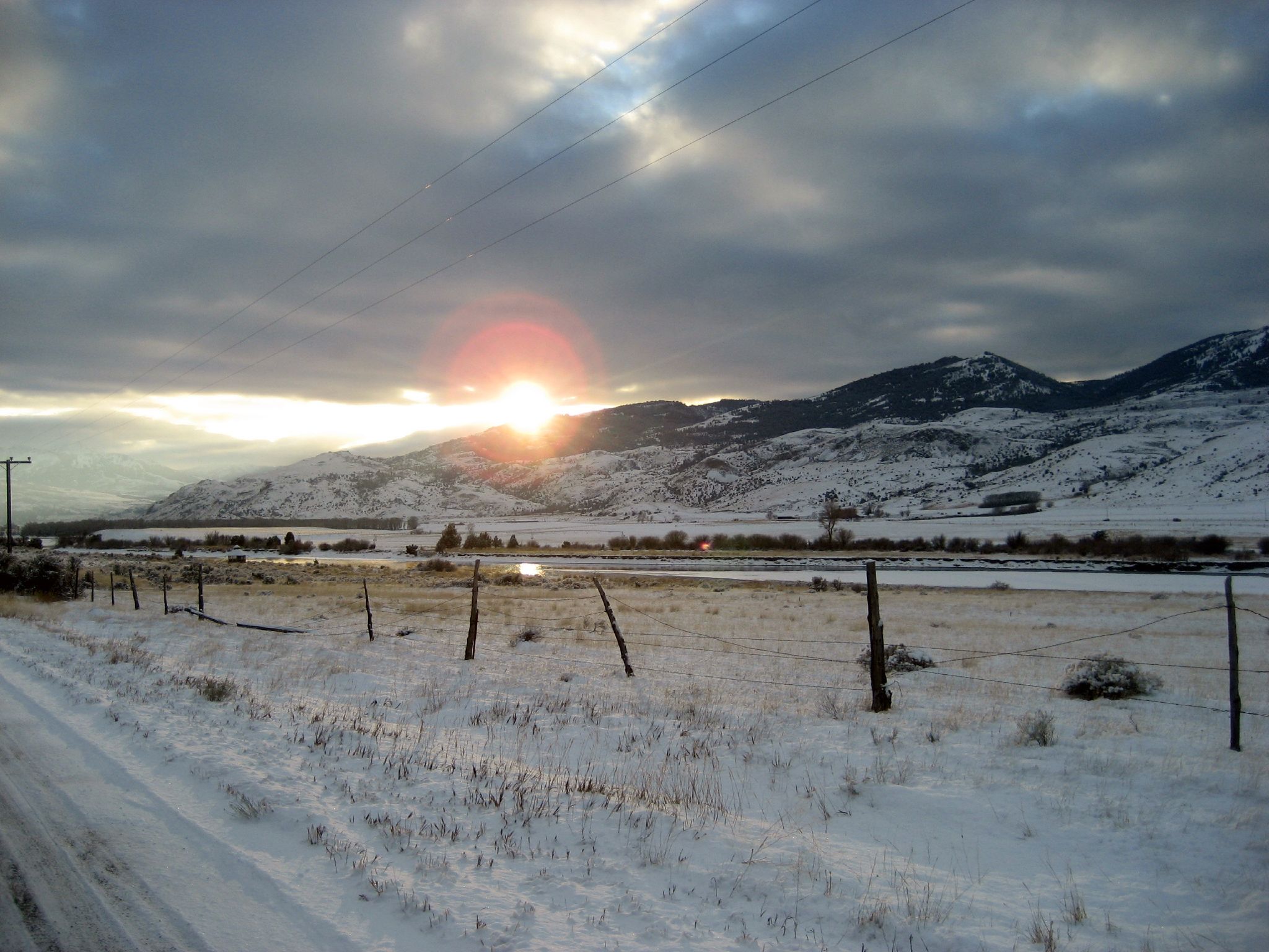
Sunset in Paradise
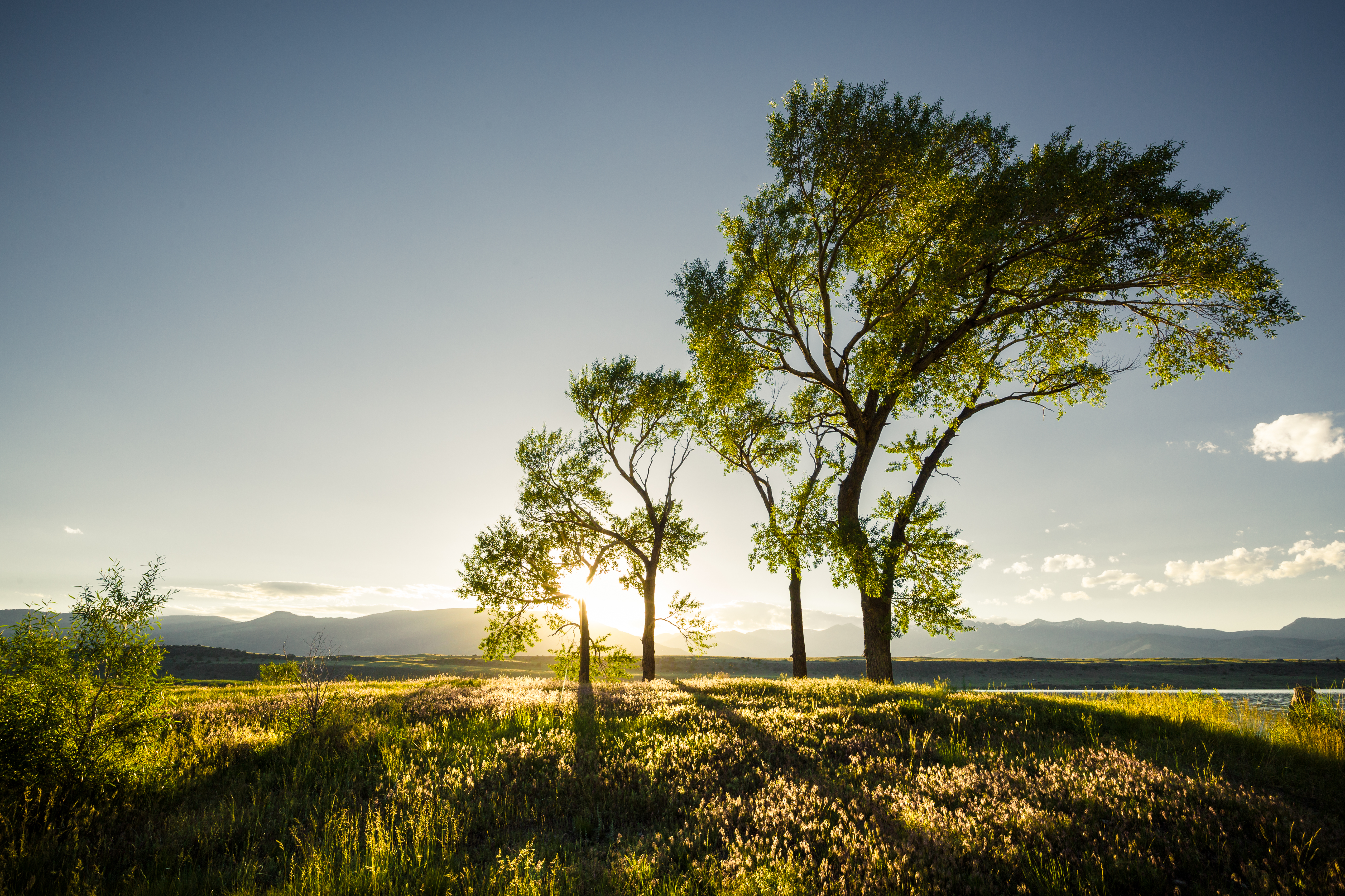
4 Trees
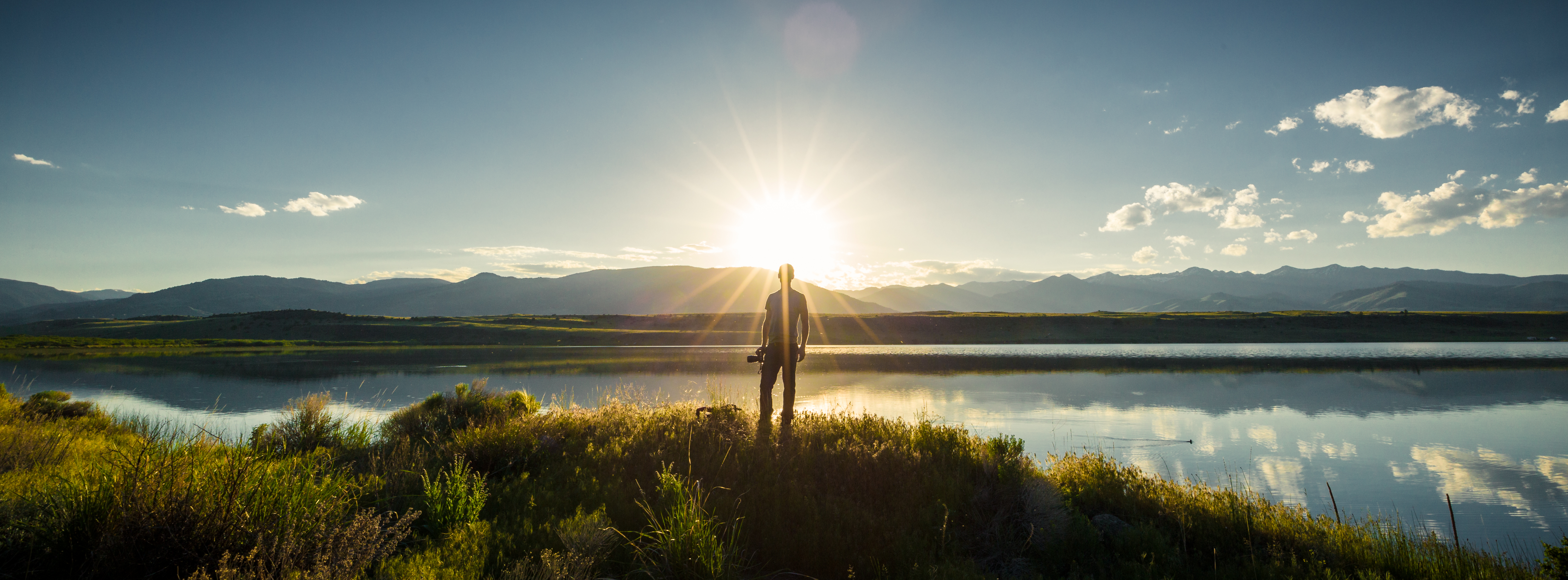
The Photographer
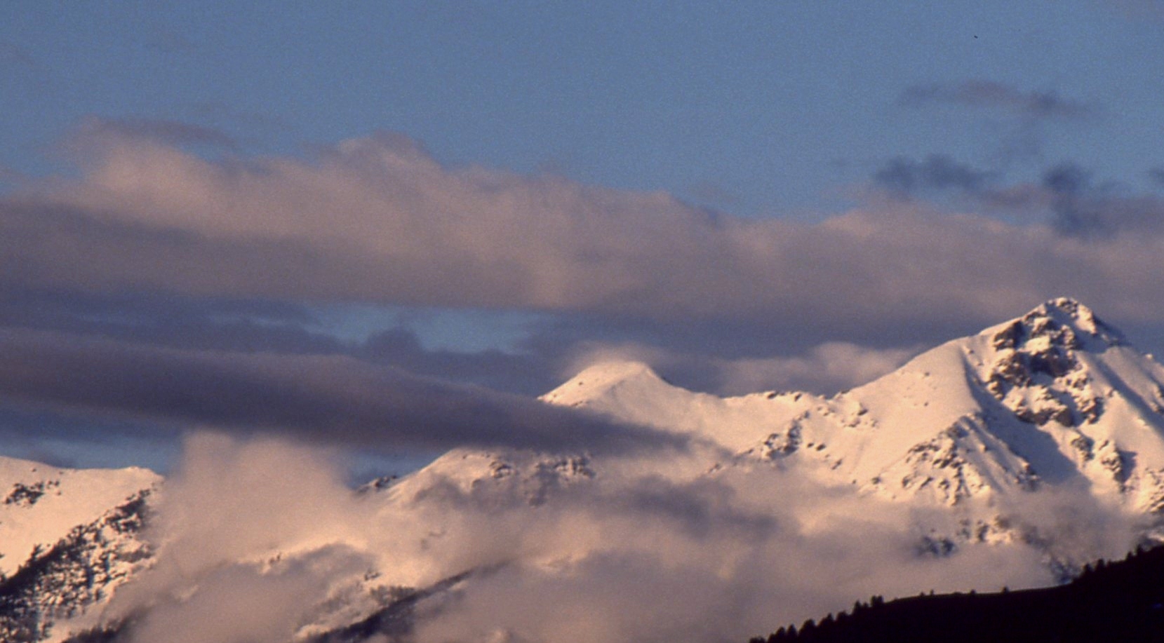
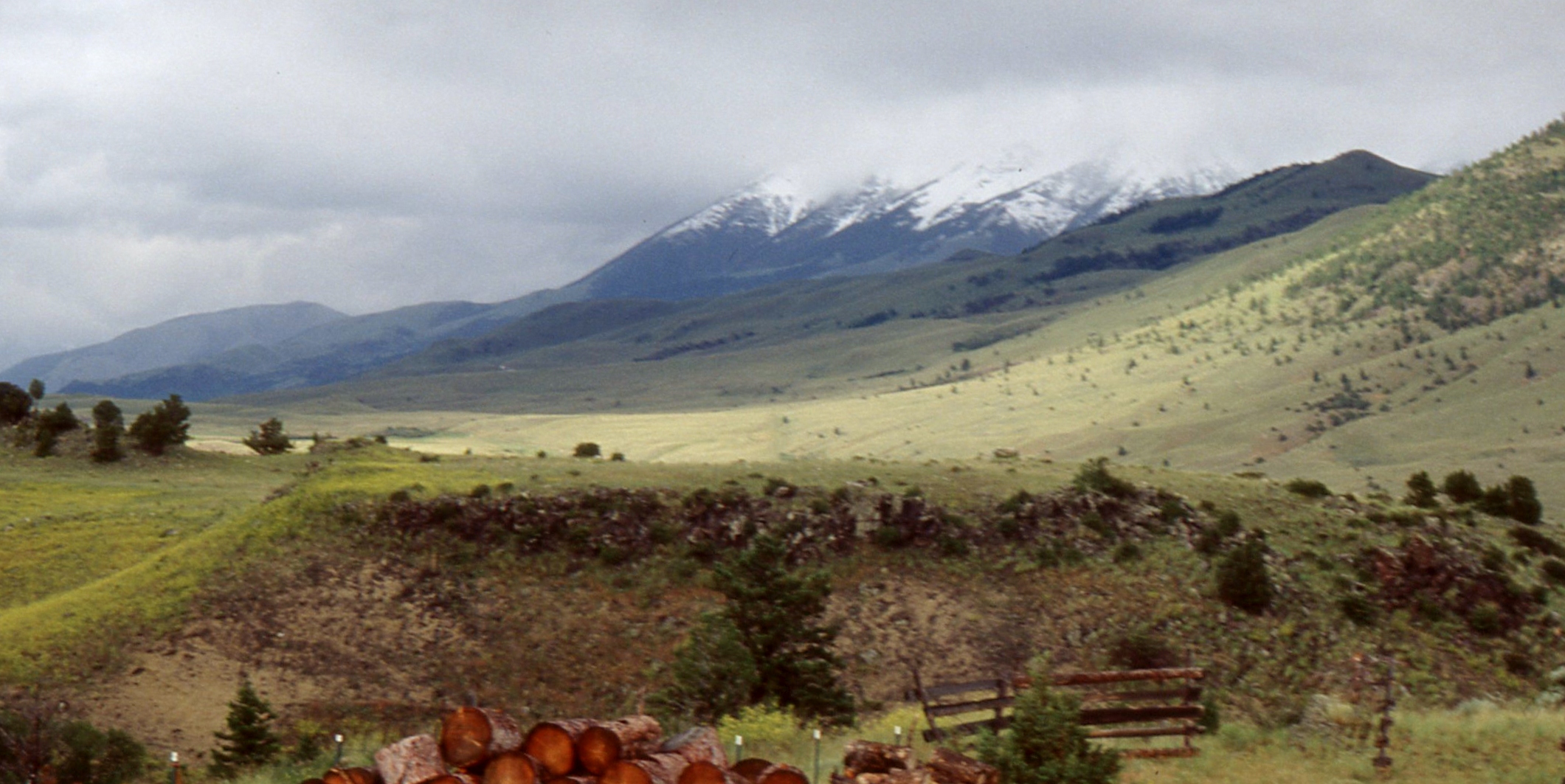
Sunset over the Gallatin Range
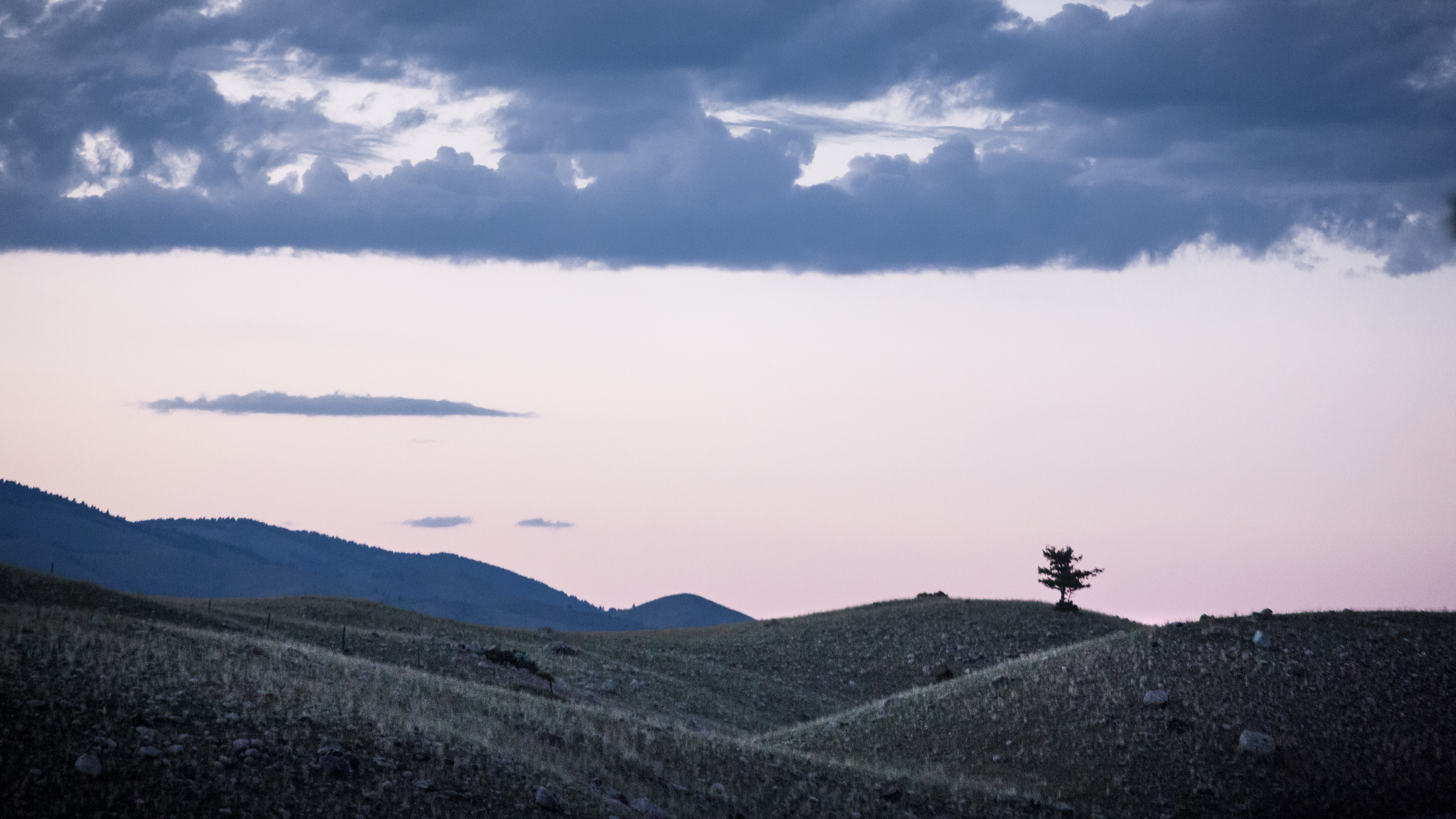
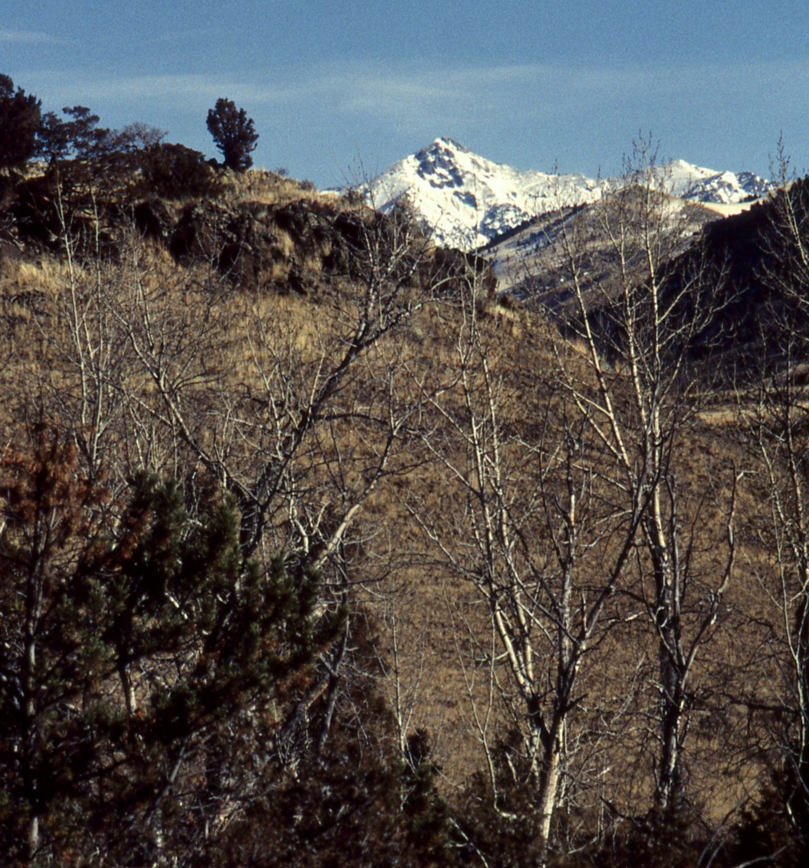
Lonely Tree
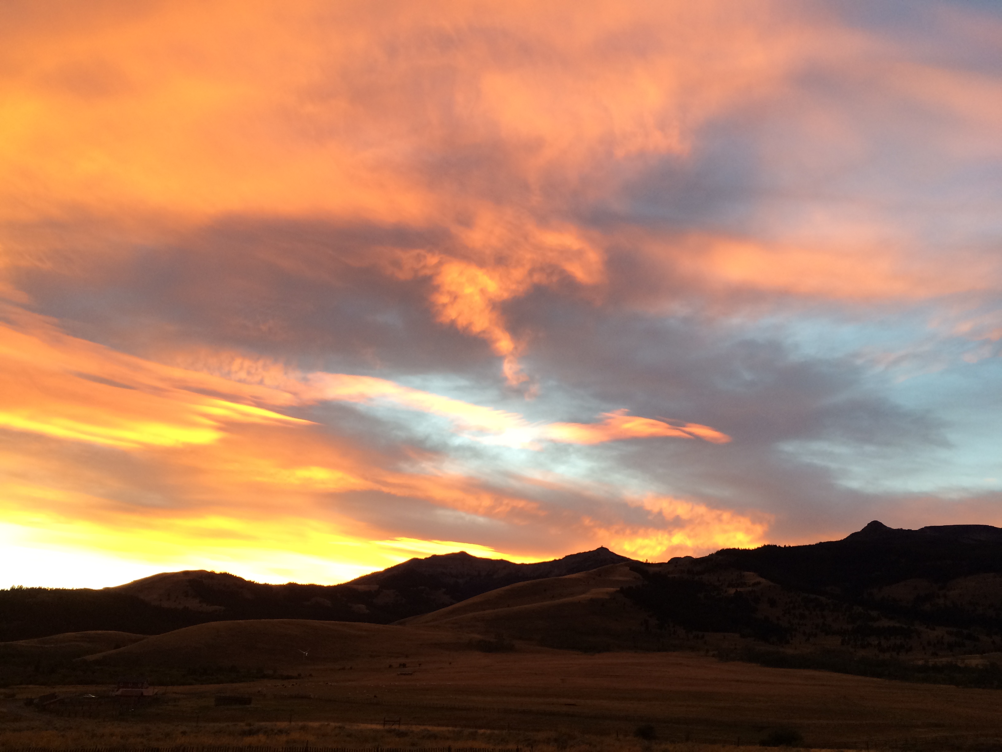
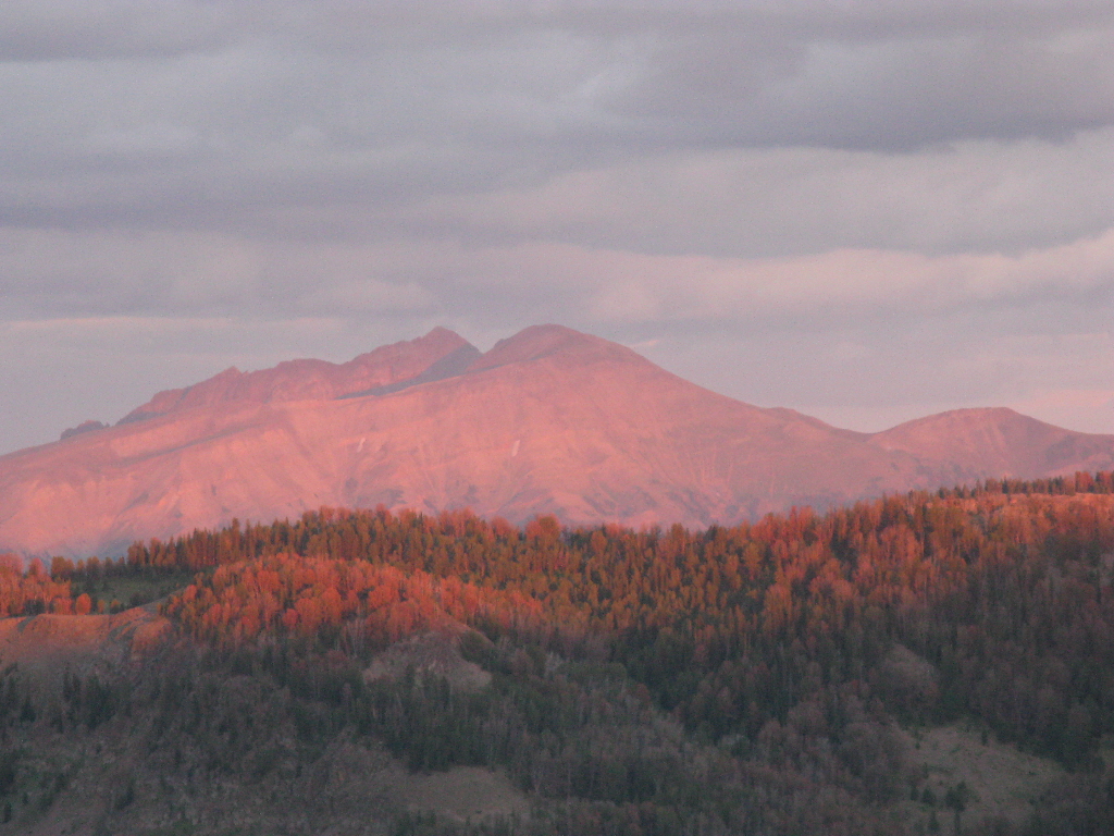
Sky Afire. Sundown in the Tom Miner Basin
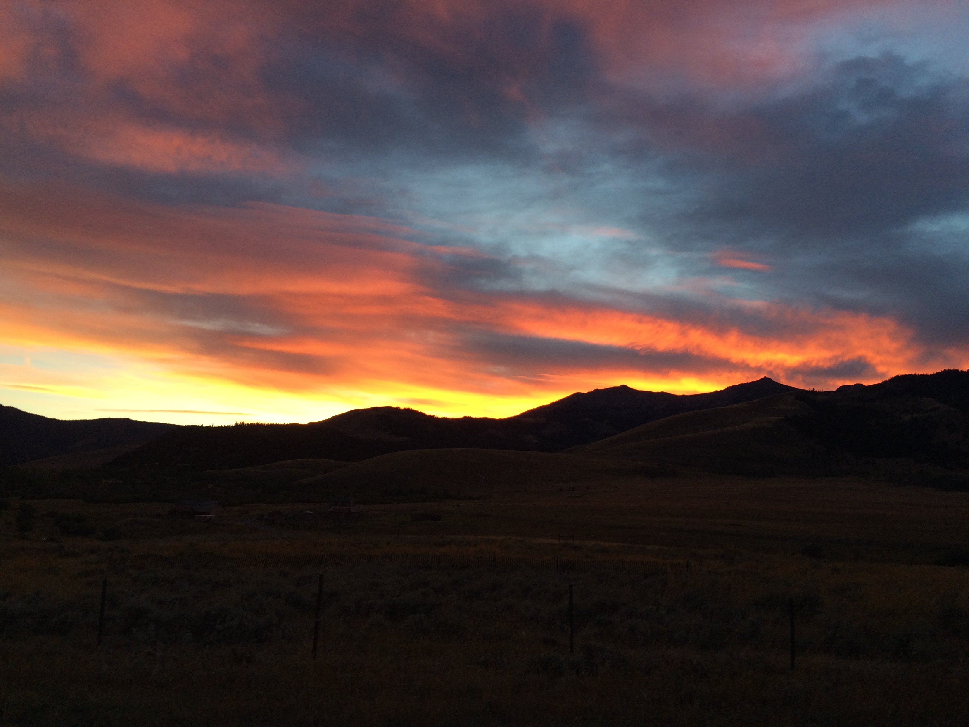
Sky Afire. Sundown in the Tom Miner Basin
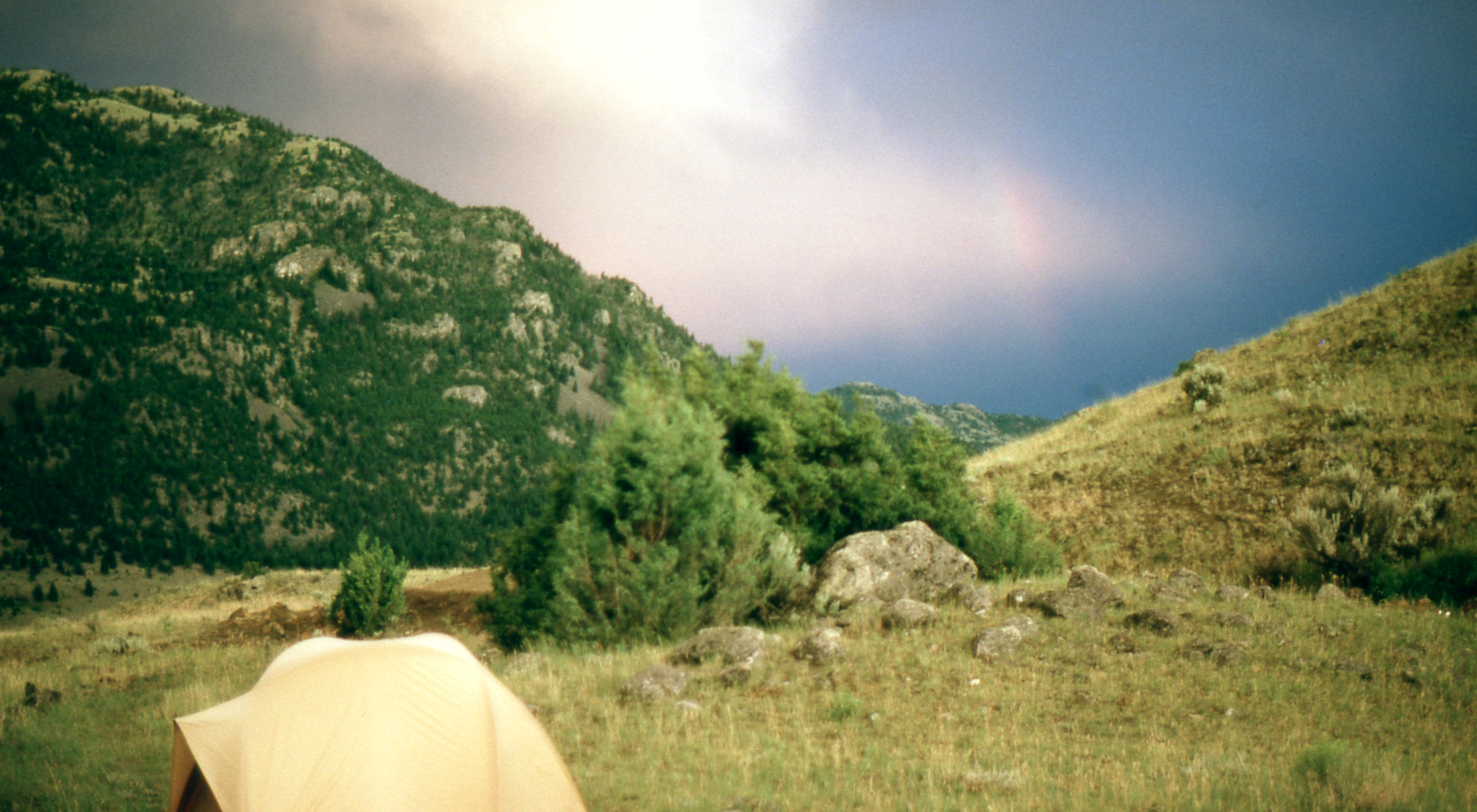
Tom Miner valley, 4th of July 2004
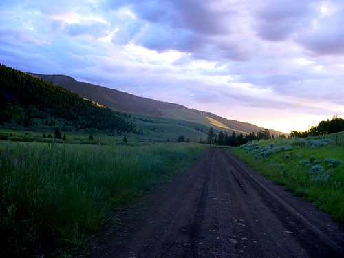
Dome Mountain from 48 Rock Creek South Road, Emigrant, MT Sliprock view
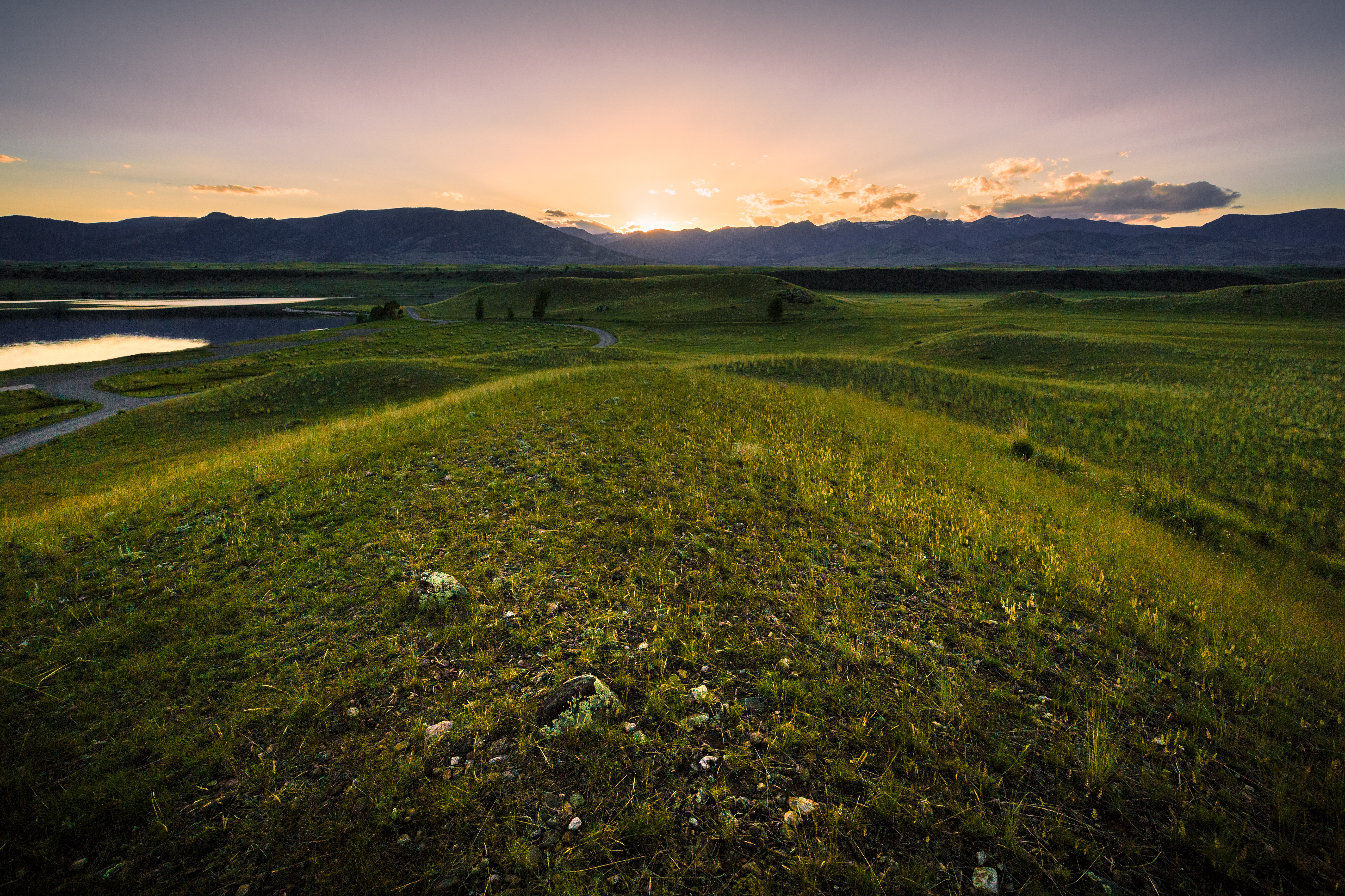
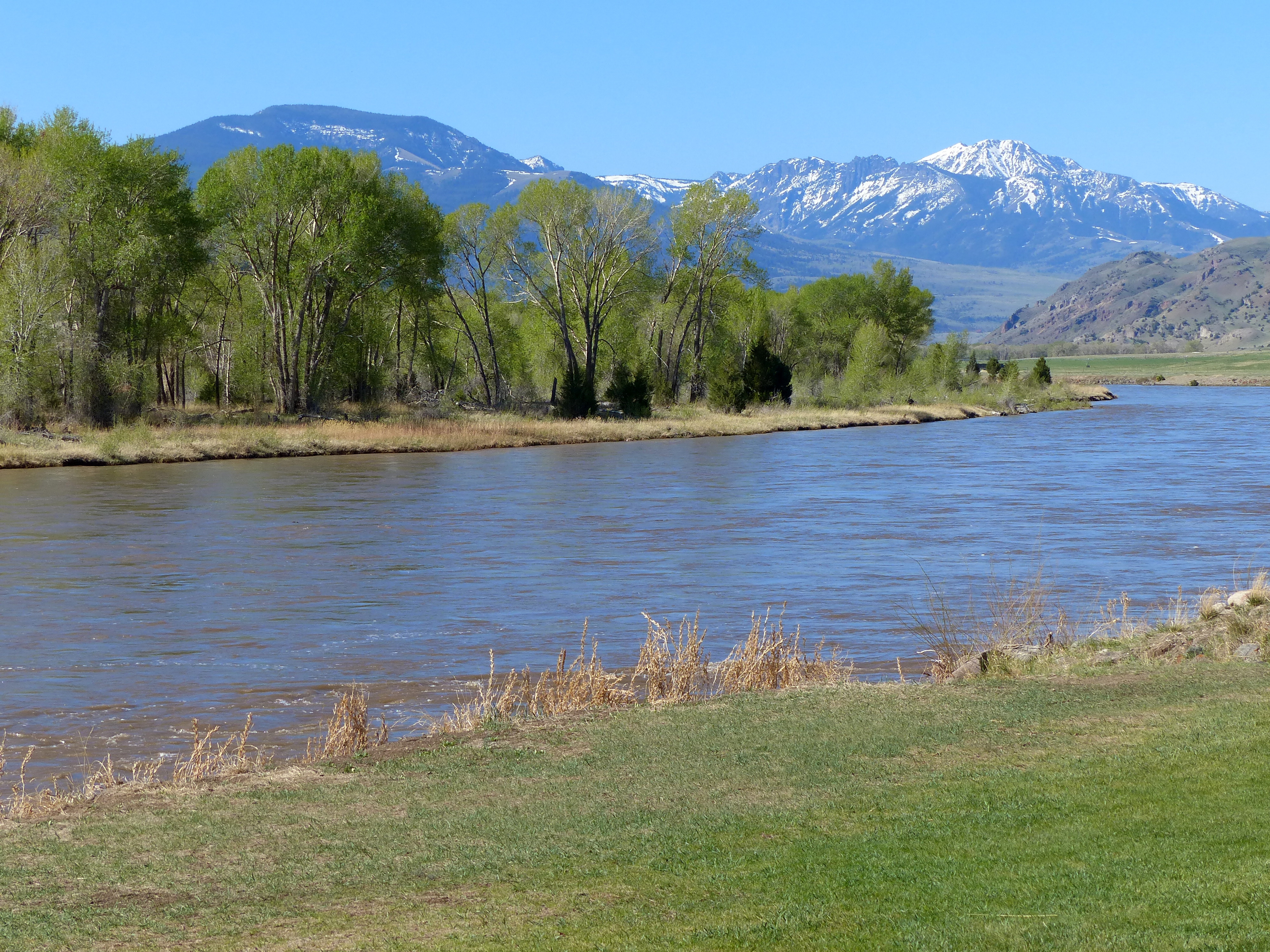
View of Paradise Valley from Sliprock

48 Rock Creek South, Emigrant, MT View Rock Creek drainage from Sliprock
Picture 432
View from Sliprock
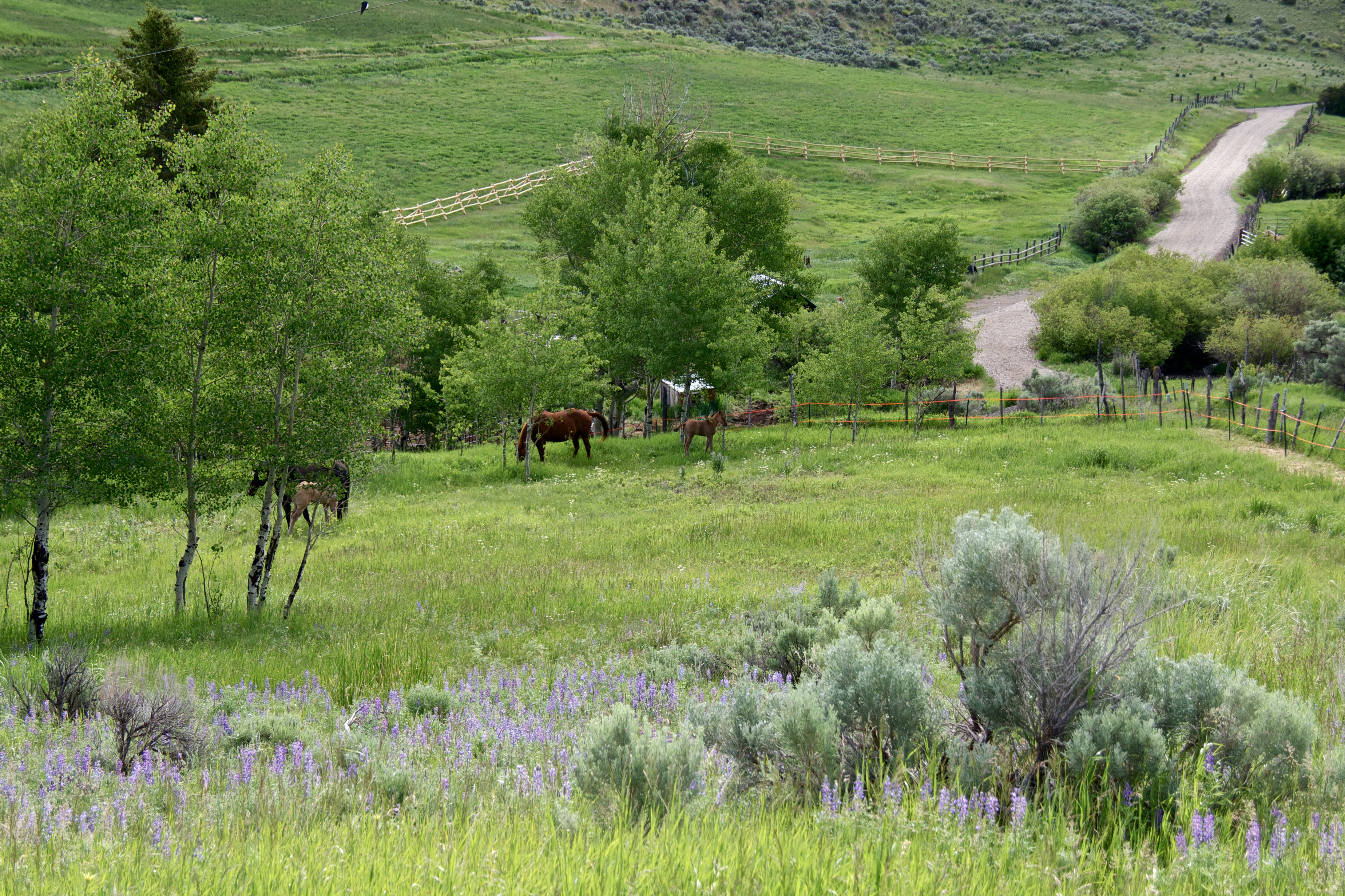
Mare and Foal pasture
48 Rock Creek South Road, Emigrant, MT, Sliprock view across Rock Creek
48 Rock Creek South Road, Emigrant, MT, Sliprock view across Rock Creek
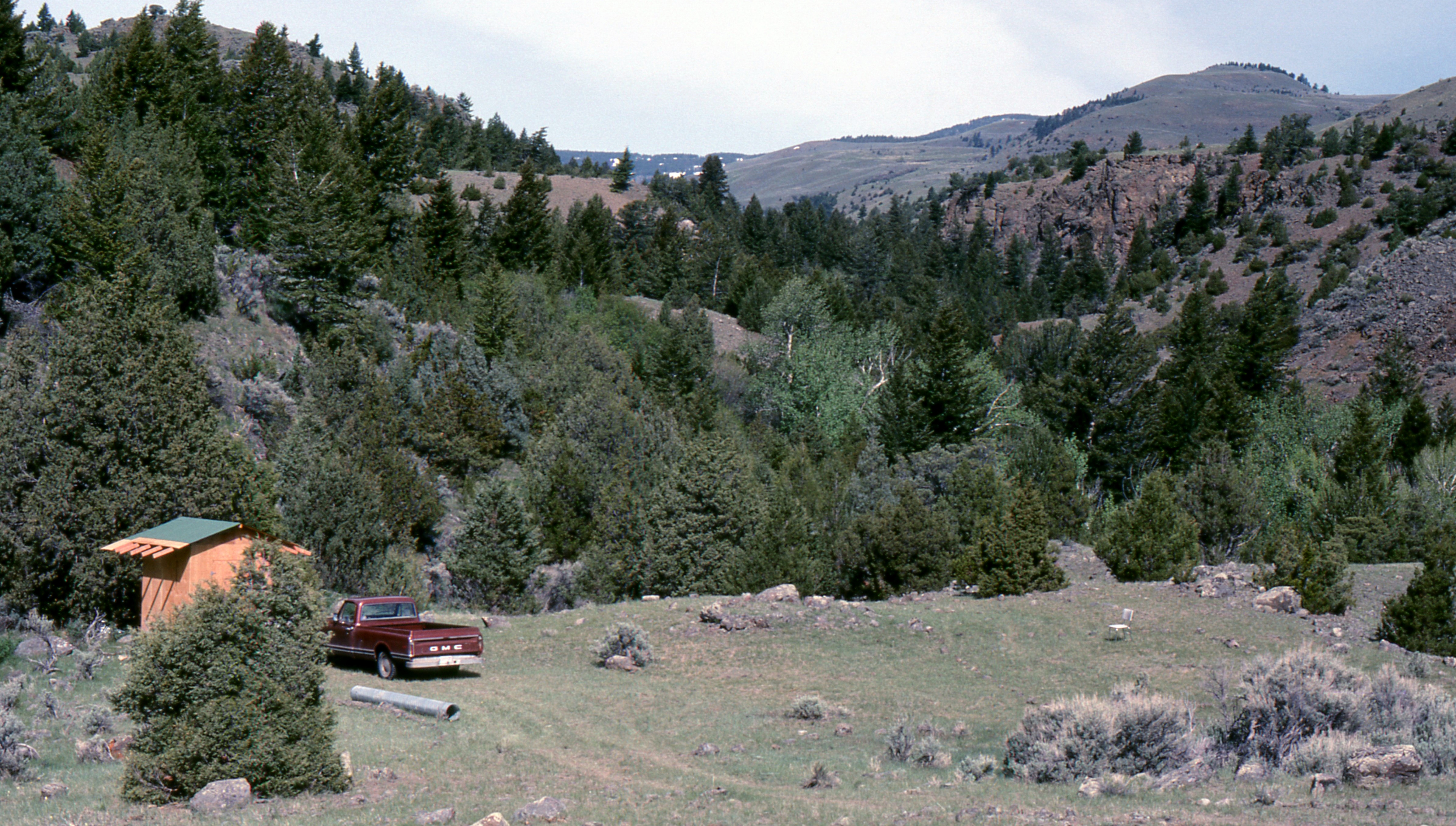
48 Rock Creek South Road, Emigrant, MT Sliprock and Rock Creek drainage view
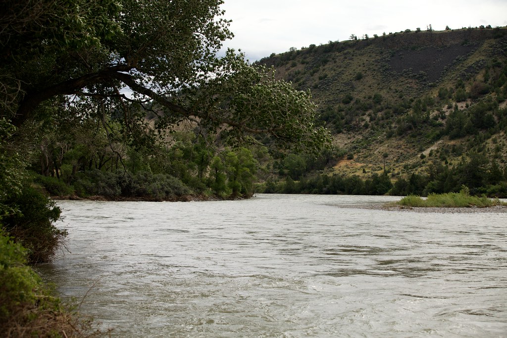
The Yellowstone River
Approaching Yellowstone
Rock Creek Rd, Emigrant, MT, USA Karte
Suchen Sie einen anderen Ort
Nahe Plätze
Rock Creek Rd, Emigrant, MT, USA
Rock Creek Rd, Emigrant, MT, USA
Rock Creek Rd, Emigrant, MT, USA
Rock Creek Rd, Emigrant, MT, USA
Grizzly Meadow Road, Grizzly Meadow Rd, Emigrant, MT, USA
Tom Miner Creek Rd, Emigrant, MT, USA
Hubbard's Yellowstone Lodge, Tom Miner Creek Rd, Emigrant, MT, USA
Miner, MT, USA
Sphinx, MT, USA
Hyalite Peak, Montana, USA
73 Leo Dr, Emigrant, MT, USA
Aldridge, MT, USA
Bridger Hollow Rd, Pray, MT, USA
Capricorn Dr, Emigrant, MT, USA
Hyalite Reservoir, Montana, USA
Emigrant, MT, USA
Sheep Mountain, Montana, USA
11 Dance Hall Hill Rd, Emigrant, MT, USA
US-89, Gardiner, MT, USA
S Yellowstone St, Gardiner, MT, USA
Letzte Suche
- Red Dog Mine, AK, USA Sonnenaufgang Sonnenuntergang Zeiten
- Am Bahnhof, Am bhf, Borken, Germany Sonnenaufgang Sonnenuntergang Zeiten
- 4th St E, Sonoma, CA, USA Sonnenaufgang Sonnenuntergang Zeiten
- Oakland Ave, Williamsport, PA, USA Sonnenaufgang Sonnenuntergang Zeiten
- Via Roma, Pieranica CR, Italien Sonnenaufgang Sonnenuntergang Zeiten
- Glockenturm, Grad, Dubrovnik, Kroatien Sonnenaufgang Sonnenuntergang Zeiten
- Trelew, Chubut Province, Argentina Sonnenaufgang Sonnenuntergang Zeiten
- Hartfords Bluff Cir, Mt Pleasant, SC, USA Sonnenaufgang Sonnenuntergang Zeiten
- Kita-ku, Kumamoto, Präfektur Kumamoto, Japan Sonnenaufgang Sonnenuntergang Zeiten
- Pingtan Island, Pingtan County, Fuzhou, China Sonnenaufgang Sonnenuntergang Zeiten