Queenstown Tasmanien, Australien Sonnenaufgang Sonnenuntergang Zeiten
Location: Australien > Tasmanien > West Coast Municipality >
Zeitzone:
Australia/Hobart
Ortszeit:
2025-06-17 00:12:48
Länge:
145.5540562
Breite:
-42.0811804
Sonnenaufgang Heute:
07:44:57 AM
Sonnenuntergang Heute:
04:52:05 PM
Tageslänge heute:
9h 7m 8s
Sonnenaufgang morgen:
07:45:18 AM
Sonnenuntergang Morgen:
04:52:10 PM
Tageslänge von morgen:
9h 6m 52s
Alle Termine anzeigen
| Datum | Sonnenaufgang | Sonnenuntergang | Tageslänge |
|---|---|---|---|
| 2025-01-01 | 05:45:46 AM | 08:56:49 PM | 15h 11m 3s |
| 2025-01-02 | 05:46:39 AM | 08:56:52 PM | 15h 10m 13s |
| 2025-01-03 | 05:47:34 AM | 08:56:53 PM | 15h 9m 19s |
| 2025-01-04 | 05:48:30 AM | 08:56:51 PM | 15h 8m 21s |
| 2025-01-05 | 05:49:28 AM | 08:56:48 PM | 15h 7m 20s |
| 2025-01-06 | 05:50:27 AM | 08:56:41 PM | 15h 6m 14s |
| 2025-01-07 | 05:51:28 AM | 08:56:33 PM | 15h 5m 5s |
| 2025-01-08 | 05:52:30 AM | 08:56:21 PM | 15h 3m 51s |
| 2025-01-09 | 05:53:34 AM | 08:56:08 PM | 15h 2m 34s |
| 2025-01-10 | 05:54:39 AM | 08:55:52 PM | 15h 1m 13s |
| 2025-01-11 | 05:55:45 AM | 08:55:33 PM | 14h 59m 48s |
| 2025-01-12 | 05:56:52 AM | 08:55:13 PM | 14h 58m 21s |
| 2025-01-13 | 05:58:01 AM | 08:54:50 PM | 14h 56m 49s |
| 2025-01-14 | 05:59:10 AM | 08:54:24 PM | 14h 55m 14s |
| 2025-01-15 | 06:00:21 AM | 08:53:56 PM | 14h 53m 35s |
| 2025-01-16 | 06:01:32 AM | 08:53:26 PM | 14h 51m 54s |
| 2025-01-17 | 06:02:45 AM | 08:52:54 PM | 14h 50m 9s |
| 2025-01-18 | 06:03:58 AM | 08:52:19 PM | 14h 48m 21s |
| 2025-01-19 | 06:05:12 AM | 08:51:43 PM | 14h 46m 31s |
| 2025-01-20 | 06:06:27 AM | 08:51:04 PM | 14h 44m 37s |
| 2025-01-21 | 06:07:42 AM | 08:50:23 PM | 14h 42m 41s |
| 2025-01-22 | 06:08:58 AM | 08:49:39 PM | 14h 40m 41s |
| 2025-01-23 | 06:10:15 AM | 08:48:54 PM | 14h 38m 39s |
| 2025-01-24 | 06:11:32 AM | 08:48:07 PM | 14h 36m 35s |
| 2025-01-25 | 06:12:49 AM | 08:47:17 PM | 14h 34m 28s |
| 2025-01-26 | 06:14:07 AM | 08:46:26 PM | 14h 32m 19s |
| 2025-01-27 | 06:15:25 AM | 08:45:33 PM | 14h 30m 8s |
| 2025-01-28 | 06:16:44 AM | 08:44:38 PM | 14h 27m 54s |
| 2025-01-29 | 06:18:02 AM | 08:43:40 PM | 14h 25m 38s |
| 2025-01-30 | 06:19:21 AM | 08:42:41 PM | 14h 23m 20s |
| 2025-01-31 | 06:20:40 AM | 08:41:41 PM | 14h 21m 1s |
| 2025-02-01 | 06:22:00 AM | 08:40:38 PM | 14h 18m 38s |
| 2025-02-02 | 06:23:19 AM | 08:39:34 PM | 14h 16m 15s |
| 2025-02-03 | 06:24:38 AM | 08:38:28 PM | 14h 13m 50s |
| 2025-02-04 | 06:25:58 AM | 08:37:20 PM | 14h 11m 22s |
| 2025-02-05 | 06:27:17 AM | 08:36:11 PM | 14h 8m 54s |
| 2025-02-06 | 06:28:37 AM | 08:35:01 PM | 14h 6m 24s |
| 2025-02-07 | 06:29:56 AM | 08:33:48 PM | 14h 3m 52s |
| 2025-02-08 | 06:31:15 AM | 08:32:35 PM | 14h 1m 20s |
| 2025-02-09 | 06:32:34 AM | 08:31:19 PM | 13h 58m 45s |
| 2025-02-10 | 06:33:53 AM | 08:30:03 PM | 13h 56m 10s |
| 2025-02-11 | 06:35:12 AM | 08:28:45 PM | 13h 53m 33s |
| 2025-02-12 | 06:36:31 AM | 08:27:25 PM | 13h 50m 54s |
| 2025-02-13 | 06:37:49 AM | 08:26:05 PM | 13h 48m 16s |
| 2025-02-14 | 06:39:07 AM | 08:24:43 PM | 13h 45m 36s |
| 2025-02-15 | 06:40:25 AM | 08:23:20 PM | 13h 42m 55s |
| 2025-02-16 | 06:41:43 AM | 08:21:55 PM | 13h 40m 12s |
| 2025-02-17 | 06:43:00 AM | 08:20:30 PM | 13h 37m 30s |
| 2025-02-18 | 06:44:17 AM | 08:19:03 PM | 13h 34m 46s |
| 2025-02-19 | 06:45:34 AM | 08:17:36 PM | 13h 32m 2s |
| 2025-02-20 | 06:46:50 AM | 08:16:07 PM | 13h 29m 17s |
| 2025-02-21 | 06:48:06 AM | 08:14:38 PM | 13h 26m 32s |
| 2025-02-22 | 06:49:22 AM | 08:13:07 PM | 13h 23m 45s |
| 2025-02-23 | 06:50:38 AM | 08:11:36 PM | 13h 20m 58s |
| 2025-02-24 | 06:51:53 AM | 08:10:03 PM | 13h 18m 10s |
| 2025-02-25 | 06:53:08 AM | 08:08:30 PM | 13h 15m 22s |
| 2025-02-26 | 06:54:22 AM | 08:06:56 PM | 13h 12m 34s |
| 2025-02-27 | 06:55:36 AM | 08:05:21 PM | 13h 9m 45s |
| 2025-02-28 | 06:56:50 AM | 08:03:46 PM | 13h 6m 56s |
| 2025-03-01 | 06:58:04 AM | 08:02:09 PM | 13h 4m 5s |
| 2025-03-02 | 06:59:17 AM | 08:00:32 PM | 13h 1m 15s |
| 2025-03-03 | 07:00:29 AM | 07:58:55 PM | 12h 58m 26s |
| 2025-03-04 | 07:01:42 AM | 07:57:17 PM | 12h 55m 35s |
| 2025-03-05 | 07:02:54 AM | 07:55:38 PM | 12h 52m 44s |
| 2025-03-06 | 07:04:06 AM | 07:53:59 PM | 12h 49m 53s |
| 2025-03-07 | 07:05:17 AM | 07:52:19 PM | 12h 47m 2s |
| 2025-03-08 | 07:06:29 AM | 07:50:39 PM | 12h 44m 10s |
| 2025-03-09 | 07:07:39 AM | 07:48:58 PM | 12h 41m 19s |
| 2025-03-10 | 07:08:50 AM | 07:47:17 PM | 12h 38m 27s |
| 2025-03-11 | 07:10:00 AM | 07:45:35 PM | 12h 35m 35s |
| 2025-03-12 | 07:11:10 AM | 07:43:54 PM | 12h 32m 44s |
| 2025-03-13 | 07:12:20 AM | 07:42:11 PM | 12h 29m 51s |
| 2025-03-14 | 07:13:30 AM | 07:40:29 PM | 12h 26m 59s |
| 2025-03-15 | 07:14:39 AM | 07:38:46 PM | 12h 24m 7s |
| 2025-03-16 | 07:15:48 AM | 07:37:04 PM | 12h 21m 16s |
| 2025-03-17 | 07:16:57 AM | 07:35:21 PM | 12h 18m 24s |
| 2025-03-18 | 07:18:05 AM | 07:33:37 PM | 12h 15m 32s |
| 2025-03-19 | 07:19:13 AM | 07:31:54 PM | 12h 12m 41s |
| 2025-03-20 | 07:20:21 AM | 07:30:11 PM | 12h 9m 50s |
| 2025-03-21 | 07:21:29 AM | 07:28:27 PM | 12h 6m 58s |
| 2025-03-22 | 07:22:37 AM | 07:26:44 PM | 12h 4m 7s |
| 2025-03-23 | 07:23:45 AM | 07:25:00 PM | 12h 1m 15s |
| 2025-03-24 | 07:24:52 AM | 07:23:17 PM | 11h 58m 25s |
| 2025-03-25 | 07:25:59 AM | 07:21:33 PM | 11h 55m 34s |
| 2025-03-26 | 07:27:06 AM | 07:19:50 PM | 11h 52m 44s |
| 2025-03-27 | 07:28:13 AM | 07:18:07 PM | 11h 49m 54s |
| 2025-03-28 | 07:29:20 AM | 07:16:24 PM | 11h 47m 4s |
| 2025-03-29 | 07:30:27 AM | 07:14:41 PM | 11h 44m 14s |
| 2025-03-30 | 07:31:33 AM | 07:12:59 PM | 11h 41m 26s |
| 2025-03-31 | 07:32:40 AM | 07:11:16 PM | 11h 38m 36s |
| 2025-04-01 | 07:33:46 AM | 07:09:34 PM | 11h 35m 48s |
| 2025-04-02 | 07:34:52 AM | 07:07:52 PM | 11h 33m 0s |
| 2025-04-03 | 07:35:59 AM | 07:06:11 PM | 11h 30m 12s |
| 2025-04-04 | 07:37:05 AM | 07:04:30 PM | 11h 27m 25s |
| 2025-04-05 | 07:38:11 AM | 07:02:49 PM | 11h 24m 38s |
| 2025-04-06 | 06:39:20 AM | 06:01:05 PM | 11h 21m 45s |
| 2025-04-06 | 06:39:20 AM | 06:01:05 PM | 11h 21m 45s |
| 2025-04-07 | 06:40:26 AM | 05:59:25 PM | 11h 18m 59s |
| 2025-04-08 | 06:41:31 AM | 05:57:46 PM | 11h 16m 15s |
| 2025-04-09 | 06:42:37 AM | 05:56:07 PM | 11h 13m 30s |
| 2025-04-10 | 06:43:43 AM | 05:54:29 PM | 11h 10m 46s |
| 2025-04-11 | 06:44:49 AM | 05:52:51 PM | 11h 8m 2s |
| 2025-04-12 | 06:45:55 AM | 05:51:14 PM | 11h 5m 19s |
| 2025-04-13 | 06:47:01 AM | 05:49:38 PM | 11h 2m 37s |
| 2025-04-14 | 06:48:06 AM | 05:48:02 PM | 10h 59m 56s |
| 2025-04-15 | 06:49:12 AM | 05:46:28 PM | 10h 57m 16s |
| 2025-04-16 | 06:50:18 AM | 05:44:53 PM | 10h 54m 35s |
| 2025-04-17 | 06:51:23 AM | 05:43:20 PM | 10h 51m 57s |
| 2025-04-18 | 06:52:29 AM | 05:41:47 PM | 10h 49m 18s |
| 2025-04-19 | 06:53:35 AM | 05:40:15 PM | 10h 46m 40s |
| 2025-04-20 | 06:54:40 AM | 05:38:44 PM | 10h 44m 4s |
| 2025-04-21 | 06:55:46 AM | 05:37:14 PM | 10h 41m 28s |
| 2025-04-22 | 06:56:51 AM | 05:35:45 PM | 10h 38m 54s |
| 2025-04-23 | 06:57:56 AM | 05:34:17 PM | 10h 36m 21s |
| 2025-04-24 | 06:59:02 AM | 05:32:50 PM | 10h 33m 48s |
| 2025-04-25 | 07:00:07 AM | 05:31:24 PM | 10h 31m 17s |
| 2025-04-26 | 07:01:12 AM | 05:29:59 PM | 10h 28m 47s |
| 2025-04-27 | 07:02:17 AM | 05:28:35 PM | 10h 26m 18s |
| 2025-04-28 | 07:03:22 AM | 05:27:12 PM | 10h 23m 50s |
| 2025-04-29 | 07:04:27 AM | 05:25:50 PM | 10h 21m 23s |
| 2025-04-30 | 07:05:32 AM | 05:24:30 PM | 10h 18m 58s |
| 2025-05-01 | 07:06:36 AM | 05:23:10 PM | 10h 16m 34s |
| 2025-05-02 | 07:07:41 AM | 05:21:52 PM | 10h 14m 11s |
| 2025-05-03 | 07:08:45 AM | 05:20:35 PM | 10h 11m 50s |
| 2025-05-04 | 07:09:49 AM | 05:19:20 PM | 10h 9m 31s |
| 2025-05-05 | 07:10:53 AM | 05:18:06 PM | 10h 7m 13s |
| 2025-05-06 | 07:11:56 AM | 05:16:53 PM | 10h 4m 57s |
| 2025-05-07 | 07:12:59 AM | 05:15:42 PM | 10h 2m 43s |
| 2025-05-08 | 07:14:02 AM | 05:14:32 PM | 10h 0m 30s |
| 2025-05-09 | 07:15:05 AM | 05:13:23 PM | 9h 58m 18s |
| 2025-05-10 | 07:16:07 AM | 05:12:16 PM | 9h 56m 9s |
| 2025-05-11 | 07:17:09 AM | 05:11:11 PM | 9h 54m 2s |
| 2025-05-12 | 07:18:10 AM | 05:10:07 PM | 9h 51m 57s |
| 2025-05-13 | 07:19:11 AM | 05:09:05 PM | 9h 49m 54s |
| 2025-05-14 | 07:20:12 AM | 05:08:04 PM | 9h 47m 52s |
| 2025-05-15 | 07:21:12 AM | 05:07:05 PM | 9h 45m 53s |
| 2025-05-16 | 07:22:11 AM | 05:06:08 PM | 9h 43m 57s |
| 2025-05-17 | 07:23:10 AM | 05:05:12 PM | 9h 42m 2s |
| 2025-05-18 | 07:24:09 AM | 05:04:18 PM | 9h 40m 9s |
| 2025-05-19 | 07:25:06 AM | 05:03:26 PM | 9h 38m 20s |
| 2025-05-20 | 07:26:03 AM | 05:02:35 PM | 9h 36m 32s |
| 2025-05-21 | 07:26:59 AM | 05:01:47 PM | 9h 34m 48s |
| 2025-05-22 | 07:27:55 AM | 05:01:00 PM | 9h 33m 5s |
| 2025-05-23 | 07:28:50 AM | 05:00:15 PM | 9h 31m 25s |
| 2025-05-24 | 07:29:44 AM | 04:59:32 PM | 9h 29m 48s |
| 2025-05-25 | 07:30:37 AM | 04:58:50 PM | 9h 28m 13s |
| 2025-05-26 | 07:31:29 AM | 04:58:11 PM | 9h 26m 42s |
| 2025-05-27 | 07:32:20 AM | 04:57:34 PM | 9h 25m 14s |
| 2025-05-28 | 07:33:10 AM | 04:56:58 PM | 9h 23m 48s |
| 2025-05-29 | 07:33:59 AM | 04:56:25 PM | 9h 22m 26s |
| 2025-05-30 | 07:34:47 AM | 04:55:53 PM | 9h 21m 6s |
| 2025-05-31 | 07:35:34 AM | 04:55:24 PM | 9h 19m 50s |
| 2025-06-01 | 07:36:19 AM | 04:54:56 PM | 9h 18m 37s |
| 2025-06-02 | 07:37:04 AM | 04:54:30 PM | 9h 17m 26s |
| 2025-06-03 | 07:37:47 AM | 04:54:07 PM | 9h 16m 20s |
| 2025-06-04 | 07:38:29 AM | 04:53:45 PM | 9h 15m 16s |
| 2025-06-05 | 07:39:09 AM | 04:53:26 PM | 9h 14m 17s |
| 2025-06-06 | 07:39:49 AM | 04:53:08 PM | 9h 13m 19s |
| 2025-06-07 | 07:40:26 AM | 04:52:53 PM | 9h 12m 27s |
| 2025-06-08 | 07:41:02 AM | 04:52:39 PM | 9h 11m 37s |
| 2025-06-09 | 07:41:37 AM | 04:52:28 PM | 9h 10m 51s |
| 2025-06-10 | 07:42:10 AM | 04:52:19 PM | 9h 10m 9s |
| 2025-06-11 | 07:42:42 AM | 04:52:11 PM | 9h 9m 29s |
| 2025-06-12 | 07:43:12 AM | 04:52:06 PM | 9h 8m 54s |
| 2025-06-13 | 07:43:40 AM | 04:52:03 PM | 9h 8m 23s |
| 2025-06-14 | 07:44:07 AM | 04:52:01 PM | 9h 7m 54s |
| 2025-06-15 | 07:44:32 AM | 04:52:02 PM | 9h 7m 30s |
| 2025-06-16 | 07:44:55 AM | 04:52:05 PM | 9h 7m 10s |
| 2025-06-17 | 07:45:16 AM | 04:52:09 PM | 9h 6m 53s |
| 2025-06-18 | 07:45:36 AM | 04:52:16 PM | 9h 6m 40s |
| 2025-06-19 | 07:45:53 AM | 04:52:24 PM | 9h 6m 31s |
| 2025-06-20 | 07:46:09 AM | 04:52:35 PM | 9h 6m 26s |
| 2025-06-21 | 07:46:23 AM | 04:52:47 PM | 9h 6m 24s |
| 2025-06-22 | 07:46:35 AM | 04:53:01 PM | 9h 6m 26s |
| 2025-06-23 | 07:46:45 AM | 04:53:17 PM | 9h 6m 32s |
| 2025-06-24 | 07:46:53 AM | 04:53:35 PM | 9h 6m 42s |
| 2025-06-25 | 07:46:59 AM | 04:53:54 PM | 9h 6m 55s |
| 2025-06-26 | 07:47:03 AM | 04:54:16 PM | 9h 7m 13s |
| 2025-06-27 | 07:47:05 AM | 04:54:39 PM | 9h 7m 34s |
| 2025-06-28 | 07:47:05 AM | 04:55:03 PM | 9h 7m 58s |
| 2025-06-29 | 07:47:03 AM | 04:55:30 PM | 9h 8m 27s |
| 2025-06-30 | 07:46:59 AM | 04:55:58 PM | 9h 8m 59s |
| 2025-07-01 | 07:46:53 AM | 04:56:27 PM | 9h 9m 34s |
| 2025-07-02 | 07:46:45 AM | 04:56:58 PM | 9h 10m 13s |
| 2025-07-03 | 07:46:34 AM | 04:57:31 PM | 9h 10m 57s |
| 2025-07-04 | 07:46:22 AM | 04:58:05 PM | 9h 11m 43s |
| 2025-07-05 | 07:46:08 AM | 04:58:40 PM | 9h 12m 32s |
| 2025-07-06 | 07:45:51 AM | 04:59:17 PM | 9h 13m 26s |
| 2025-07-07 | 07:45:32 AM | 04:59:55 PM | 9h 14m 23s |
| 2025-07-08 | 07:45:12 AM | 05:00:35 PM | 9h 15m 23s |
| 2025-07-09 | 07:44:49 AM | 05:01:16 PM | 9h 16m 27s |
| 2025-07-10 | 07:44:24 AM | 05:01:58 PM | 9h 17m 34s |
| 2025-07-11 | 07:43:57 AM | 05:02:41 PM | 9h 18m 44s |
| 2025-07-12 | 07:43:29 AM | 05:03:25 PM | 9h 19m 56s |
| 2025-07-13 | 07:42:58 AM | 05:04:10 PM | 9h 21m 12s |
| 2025-07-14 | 07:42:25 AM | 05:04:57 PM | 9h 22m 32s |
| 2025-07-15 | 07:41:50 AM | 05:05:44 PM | 9h 23m 54s |
| 2025-07-16 | 07:41:13 AM | 05:06:33 PM | 9h 25m 20s |
| 2025-07-17 | 07:40:34 AM | 05:07:22 PM | 9h 26m 48s |
| 2025-07-18 | 07:39:53 AM | 05:08:12 PM | 9h 28m 19s |
| 2025-07-19 | 07:39:11 AM | 05:09:03 PM | 9h 29m 52s |
| 2025-07-20 | 07:38:26 AM | 05:09:55 PM | 9h 31m 29s |
| 2025-07-21 | 07:37:40 AM | 05:10:48 PM | 9h 33m 8s |
| 2025-07-22 | 07:36:51 AM | 05:11:41 PM | 9h 34m 50s |
| 2025-07-23 | 07:36:01 AM | 05:12:35 PM | 9h 36m 34s |
| 2025-07-24 | 07:35:09 AM | 05:13:29 PM | 9h 38m 20s |
| 2025-07-25 | 07:34:16 AM | 05:14:25 PM | 9h 40m 9s |
| 2025-07-26 | 07:33:20 AM | 05:15:21 PM | 9h 42m 1s |
| 2025-07-27 | 07:32:23 AM | 05:16:17 PM | 9h 43m 54s |
| 2025-07-28 | 07:31:24 AM | 05:17:14 PM | 9h 45m 50s |
| 2025-07-29 | 07:30:23 AM | 05:18:11 PM | 9h 47m 48s |
| 2025-07-30 | 07:29:21 AM | 05:19:09 PM | 9h 49m 48s |
| 2025-07-31 | 07:28:17 AM | 05:20:07 PM | 9h 51m 50s |
| 2025-08-01 | 07:27:12 AM | 05:21:05 PM | 9h 53m 53s |
| 2025-08-02 | 07:26:05 AM | 05:22:04 PM | 9h 55m 59s |
| 2025-08-03 | 07:24:56 AM | 05:23:03 PM | 9h 58m 7s |
| 2025-08-04 | 07:23:46 AM | 05:24:03 PM | 10h 0m 17s |
| 2025-08-05 | 07:22:34 AM | 05:25:03 PM | 10h 2m 29s |
| 2025-08-06 | 07:21:21 AM | 05:26:03 PM | 10h 4m 42s |
| 2025-08-07 | 07:20:07 AM | 05:27:03 PM | 10h 6m 56s |
| 2025-08-08 | 07:18:51 AM | 05:28:03 PM | 10h 9m 12s |
| 2025-08-09 | 07:17:34 AM | 05:29:04 PM | 10h 11m 30s |
| 2025-08-10 | 07:16:16 AM | 05:30:04 PM | 10h 13m 48s |
| 2025-08-11 | 07:14:56 AM | 05:31:05 PM | 10h 16m 9s |
| 2025-08-12 | 07:13:35 AM | 05:32:06 PM | 10h 18m 31s |
| 2025-08-13 | 07:12:13 AM | 05:33:07 PM | 10h 20m 54s |
| 2025-08-14 | 07:10:50 AM | 05:34:08 PM | 10h 23m 18s |
| 2025-08-15 | 07:09:25 AM | 05:35:10 PM | 10h 25m 45s |
| 2025-08-16 | 07:07:59 AM | 05:36:11 PM | 10h 28m 12s |
| 2025-08-17 | 07:06:33 AM | 05:37:12 PM | 10h 30m 39s |
| 2025-08-18 | 07:05:05 AM | 05:38:14 PM | 10h 33m 9s |
| 2025-08-19 | 07:03:36 AM | 05:39:15 PM | 10h 35m 39s |
| 2025-08-20 | 07:02:06 AM | 05:40:17 PM | 10h 38m 11s |
| 2025-08-21 | 07:00:35 AM | 05:41:18 PM | 10h 40m 43s |
| 2025-08-22 | 06:59:04 AM | 05:42:20 PM | 10h 43m 16s |
| 2025-08-23 | 06:57:31 AM | 05:43:21 PM | 10h 45m 50s |
| 2025-08-24 | 06:55:58 AM | 05:44:23 PM | 10h 48m 25s |
| 2025-08-25 | 06:54:23 AM | 05:45:24 PM | 10h 51m 1s |
| 2025-08-26 | 06:52:48 AM | 05:46:25 PM | 10h 53m 37s |
| 2025-08-27 | 06:51:12 AM | 05:47:27 PM | 10h 56m 15s |
| 2025-08-28 | 06:49:36 AM | 05:48:28 PM | 10h 58m 52s |
| 2025-08-29 | 06:47:58 AM | 05:49:30 PM | 11h 1m 32s |
| 2025-08-30 | 06:46:20 AM | 05:50:31 PM | 11h 4m 11s |
| 2025-08-31 | 06:44:42 AM | 05:51:33 PM | 11h 6m 51s |
| 2025-09-01 | 06:43:02 AM | 05:52:34 PM | 11h 9m 32s |
| 2025-09-02 | 06:41:22 AM | 05:53:36 PM | 11h 12m 14s |
| 2025-09-03 | 06:39:42 AM | 05:54:37 PM | 11h 14m 55s |
| 2025-09-04 | 06:38:01 AM | 05:55:39 PM | 11h 17m 38s |
| 2025-09-05 | 06:36:19 AM | 05:56:40 PM | 11h 20m 21s |
| 2025-09-06 | 06:34:37 AM | 05:57:42 PM | 11h 23m 5s |
| 2025-09-07 | 06:32:55 AM | 05:58:43 PM | 11h 25m 48s |
| 2025-09-08 | 06:31:12 AM | 05:59:45 PM | 11h 28m 33s |
| 2025-09-09 | 06:29:29 AM | 06:00:47 PM | 11h 31m 18s |
| 2025-09-10 | 06:27:45 AM | 06:01:48 PM | 11h 34m 3s |
| 2025-09-11 | 06:26:01 AM | 06:02:50 PM | 11h 36m 49s |
| 2025-09-12 | 06:24:17 AM | 06:03:52 PM | 11h 39m 35s |
| 2025-09-13 | 06:22:33 AM | 06:04:54 PM | 11h 42m 21s |
| 2025-09-14 | 06:20:48 AM | 06:05:56 PM | 11h 45m 8s |
| 2025-09-15 | 06:19:03 AM | 06:06:58 PM | 11h 47m 55s |
| 2025-09-16 | 06:17:18 AM | 06:08:00 PM | 11h 50m 42s |
| 2025-09-17 | 06:15:33 AM | 06:09:02 PM | 11h 53m 29s |
| 2025-09-18 | 06:13:47 AM | 06:10:05 PM | 11h 56m 18s |
| 2025-09-19 | 06:12:02 AM | 06:11:07 PM | 11h 59m 5s |
| 2025-09-20 | 06:10:16 AM | 06:12:10 PM | 12h 1m 54s |
| 2025-09-21 | 06:08:31 AM | 06:13:13 PM | 12h 4m 42s |
| 2025-09-22 | 06:06:45 AM | 06:14:16 PM | 12h 7m 31s |
| 2025-09-23 | 06:05:00 AM | 06:15:19 PM | 12h 10m 19s |
| 2025-09-24 | 06:03:15 AM | 06:16:23 PM | 12h 13m 8s |
| 2025-09-25 | 06:01:29 AM | 06:17:26 PM | 12h 15m 57s |
| 2025-09-26 | 05:59:44 AM | 06:18:30 PM | 12h 18m 46s |
| 2025-09-27 | 05:57:59 AM | 06:19:34 PM | 12h 21m 35s |
| 2025-09-28 | 05:56:14 AM | 06:20:39 PM | 12h 24m 25s |
| 2025-09-29 | 05:54:29 AM | 06:21:43 PM | 12h 27m 14s |
| 2025-09-30 | 05:52:45 AM | 06:22:48 PM | 12h 30m 3s |
| 2025-10-01 | 05:51:01 AM | 06:23:53 PM | 12h 32m 52s |
| 2025-10-02 | 05:49:17 AM | 06:24:59 PM | 12h 35m 42s |
| 2025-10-03 | 05:47:34 AM | 06:26:04 PM | 12h 38m 30s |
| 2025-10-04 | 05:45:51 AM | 06:27:10 PM | 12h 41m 19s |
| 2025-10-06 | 06:42:30 AM | 07:29:21 PM | 12h 46m 51s |
| 2025-10-07 | 06:40:48 AM | 07:30:27 PM | 12h 49m 39s |
| 2025-10-08 | 06:39:07 AM | 07:31:35 PM | 12h 52m 28s |
| 2025-10-09 | 06:37:26 AM | 07:32:42 PM | 12h 55m 16s |
| 2025-10-10 | 06:35:45 AM | 07:33:50 PM | 12h 58m 5s |
| 2025-10-11 | 06:34:06 AM | 07:34:58 PM | 13h 0m 52s |
| 2025-10-12 | 06:32:27 AM | 07:36:07 PM | 13h 3m 40s |
| 2025-10-13 | 06:30:48 AM | 07:37:16 PM | 13h 6m 28s |
| 2025-10-14 | 06:29:11 AM | 07:38:25 PM | 13h 9m 14s |
| 2025-10-15 | 06:27:34 AM | 07:39:35 PM | 13h 12m 1s |
| 2025-10-16 | 06:25:58 AM | 07:40:45 PM | 13h 14m 47s |
| 2025-10-17 | 06:24:22 AM | 07:41:55 PM | 13h 17m 33s |
| 2025-10-18 | 06:22:48 AM | 07:43:06 PM | 13h 20m 18s |
| 2025-10-19 | 06:21:14 AM | 07:44:17 PM | 13h 23m 3s |
| 2025-10-20 | 06:19:41 AM | 07:45:29 PM | 13h 25m 48s |
| 2025-10-21 | 06:18:09 AM | 07:46:41 PM | 13h 28m 32s |
| 2025-10-22 | 06:16:38 AM | 07:47:53 PM | 13h 31m 15s |
| 2025-10-23 | 06:15:08 AM | 07:49:05 PM | 13h 33m 57s |
| 2025-10-24 | 06:13:40 AM | 07:50:18 PM | 13h 36m 38s |
| 2025-10-25 | 06:12:12 AM | 07:51:31 PM | 13h 39m 19s |
| 2025-10-26 | 06:10:45 AM | 07:52:45 PM | 13h 42m 0s |
| 2025-10-27 | 06:09:20 AM | 07:53:59 PM | 13h 44m 39s |
| 2025-10-28 | 06:07:56 AM | 07:55:13 PM | 13h 47m 17s |
| 2025-10-29 | 06:06:33 AM | 07:56:27 PM | 13h 49m 54s |
| 2025-10-30 | 06:05:11 AM | 07:57:42 PM | 13h 52m 31s |
| 2025-10-31 | 06:03:50 AM | 07:58:57 PM | 13h 55m 7s |
| 2025-11-01 | 06:02:31 AM | 08:00:12 PM | 13h 57m 41s |
| 2025-11-02 | 06:01:14 AM | 08:01:27 PM | 14h 0m 13s |
| 2025-11-03 | 05:59:57 AM | 08:02:43 PM | 14h 2m 46s |
| 2025-11-04 | 05:58:42 AM | 08:03:58 PM | 14h 5m 16s |
| 2025-11-05 | 05:57:29 AM | 08:05:14 PM | 14h 7m 45s |
| 2025-11-06 | 05:56:17 AM | 08:06:30 PM | 14h 10m 13s |
| 2025-11-07 | 05:55:07 AM | 08:07:46 PM | 14h 12m 39s |
| 2025-11-08 | 05:53:59 AM | 08:09:02 PM | 14h 15m 3s |
| 2025-11-09 | 05:52:52 AM | 08:10:18 PM | 14h 17m 26s |
| 2025-11-10 | 05:51:47 AM | 08:11:34 PM | 14h 19m 47s |
| 2025-11-11 | 05:50:43 AM | 08:12:50 PM | 14h 22m 7s |
| 2025-11-12 | 05:49:42 AM | 08:14:06 PM | 14h 24m 24s |
| 2025-11-13 | 05:48:42 AM | 08:15:22 PM | 14h 26m 40s |
| 2025-11-14 | 05:47:44 AM | 08:16:38 PM | 14h 28m 54s |
| 2025-11-15 | 05:46:48 AM | 08:17:53 PM | 14h 31m 5s |
| 2025-11-16 | 05:45:54 AM | 08:19:09 PM | 14h 33m 15s |
| 2025-11-17 | 05:45:02 AM | 08:20:23 PM | 14h 35m 21s |
| 2025-11-18 | 05:44:11 AM | 08:21:38 PM | 14h 37m 27s |
| 2025-11-19 | 05:43:23 AM | 08:22:52 PM | 14h 39m 29s |
| 2025-11-20 | 05:42:37 AM | 08:24:06 PM | 14h 41m 29s |
| 2025-11-21 | 05:41:53 AM | 08:25:19 PM | 14h 43m 26s |
| 2025-11-22 | 05:41:12 AM | 08:26:32 PM | 14h 45m 20s |
| 2025-11-23 | 05:40:32 AM | 08:27:44 PM | 14h 47m 12s |
| 2025-11-24 | 05:39:55 AM | 08:28:56 PM | 14h 49m 1s |
| 2025-11-25 | 05:39:19 AM | 08:30:06 PM | 14h 50m 47s |
| 2025-11-26 | 05:38:46 AM | 08:31:16 PM | 14h 52m 30s |
| 2025-11-27 | 05:38:16 AM | 08:32:26 PM | 14h 54m 10s |
| 2025-11-28 | 05:37:48 AM | 08:33:34 PM | 14h 55m 46s |
| 2025-11-29 | 05:37:22 AM | 08:34:41 PM | 14h 57m 19s |
| 2025-11-30 | 05:36:58 AM | 08:35:48 PM | 14h 58m 50s |
| 2025-12-01 | 05:36:37 AM | 08:36:53 PM | 15h 0m 16s |
| 2025-12-02 | 05:36:18 AM | 08:37:57 PM | 15h 1m 39s |
| 2025-12-03 | 05:36:02 AM | 08:39:00 PM | 15h 2m 58s |
| 2025-12-04 | 05:35:48 AM | 08:40:02 PM | 15h 4m 14s |
| 2025-12-05 | 05:35:36 AM | 08:41:03 PM | 15h 5m 27s |
| 2025-12-06 | 05:35:28 AM | 08:42:02 PM | 15h 6m 34s |
| 2025-12-07 | 05:35:21 AM | 08:42:59 PM | 15h 7m 38s |
| 2025-12-08 | 05:35:17 AM | 08:43:56 PM | 15h 8m 39s |
| 2025-12-09 | 05:35:15 AM | 08:44:50 PM | 15h 9m 35s |
| 2025-12-10 | 05:35:16 AM | 08:45:43 PM | 15h 10m 27s |
| 2025-12-11 | 05:35:20 AM | 08:46:35 PM | 15h 11m 15s |
| 2025-12-12 | 05:35:26 AM | 08:47:25 PM | 15h 11m 59s |
| 2025-12-13 | 05:35:34 AM | 08:48:12 PM | 15h 12m 38s |
| 2025-12-14 | 05:35:45 AM | 08:48:59 PM | 15h 13m 14s |
| 2025-12-15 | 05:35:58 AM | 08:49:43 PM | 15h 13m 45s |
| 2025-12-16 | 05:36:14 AM | 08:50:25 PM | 15h 14m 11s |
| 2025-12-17 | 05:36:32 AM | 08:51:05 PM | 15h 14m 33s |
| 2025-12-18 | 05:36:52 AM | 08:51:44 PM | 15h 14m 52s |
| 2025-12-19 | 05:37:15 AM | 08:52:20 PM | 15h 15m 5s |
| 2025-12-20 | 05:37:40 AM | 08:52:54 PM | 15h 15m 14s |
| 2025-12-21 | 05:38:08 AM | 08:53:26 PM | 15h 15m 18s |
| 2025-12-22 | 05:38:38 AM | 08:53:56 PM | 15h 15m 18s |
| 2025-12-23 | 05:39:10 AM | 08:54:23 PM | 15h 15m 13s |
| 2025-12-24 | 05:39:44 AM | 08:54:49 PM | 15h 15m 5s |
| 2025-12-25 | 05:40:21 AM | 08:55:12 PM | 15h 14m 51s |
| 2025-12-26 | 05:40:59 AM | 08:55:32 PM | 15h 14m 33s |
| 2025-12-27 | 05:41:40 AM | 08:55:51 PM | 15h 14m 11s |
| 2025-12-28 | 05:42:23 AM | 08:56:07 PM | 15h 13m 44s |
| 2025-12-29 | 05:43:08 AM | 08:56:21 PM | 15h 13m 13s |
| 2025-12-30 | 05:43:55 AM | 08:56:32 PM | 15h 12m 37s |
| 2025-12-31 | 05:44:43 AM | 08:56:41 PM | 15h 11m 58s |
Fotos
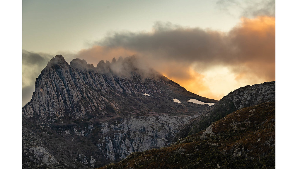
20181021-410a-Cradle Mountain-HDR-Flickr.jpg

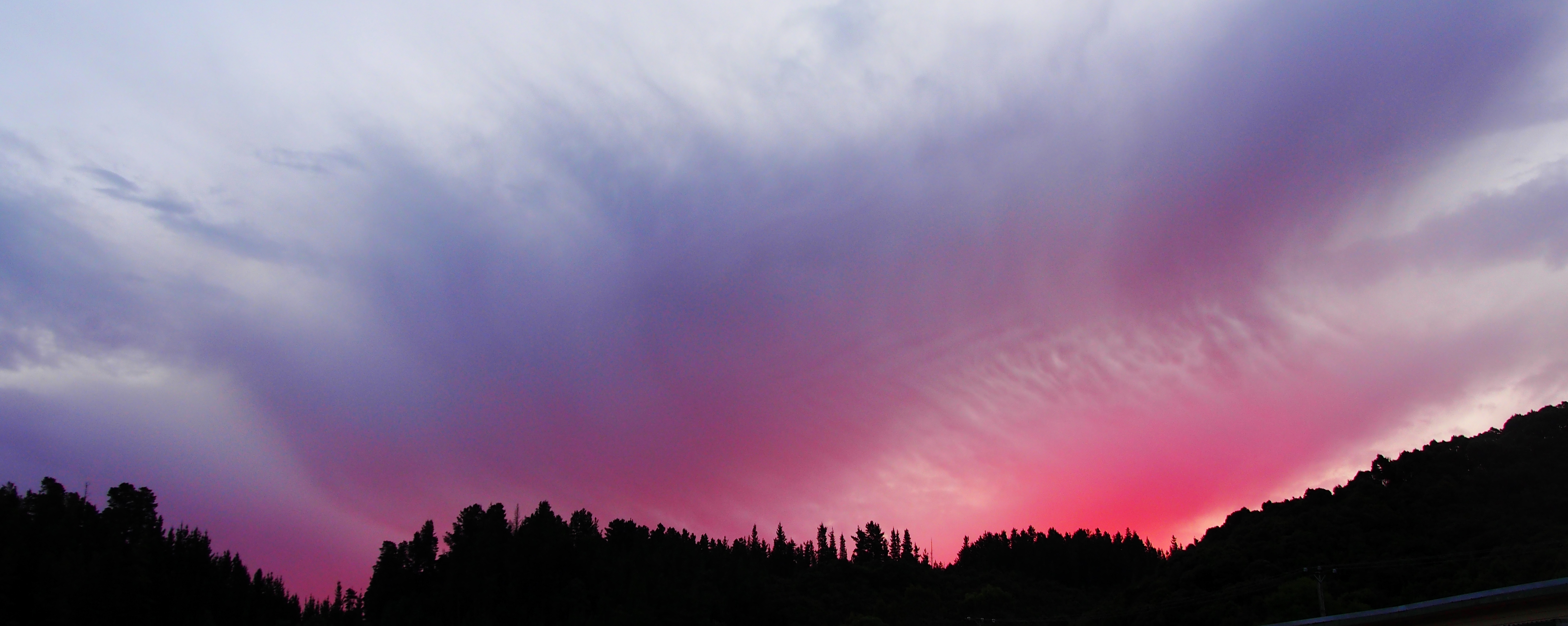
sunset waterfall

entering Queenstown

_MG_3004.jpg

Galley Museum
Sunset over Queenstown
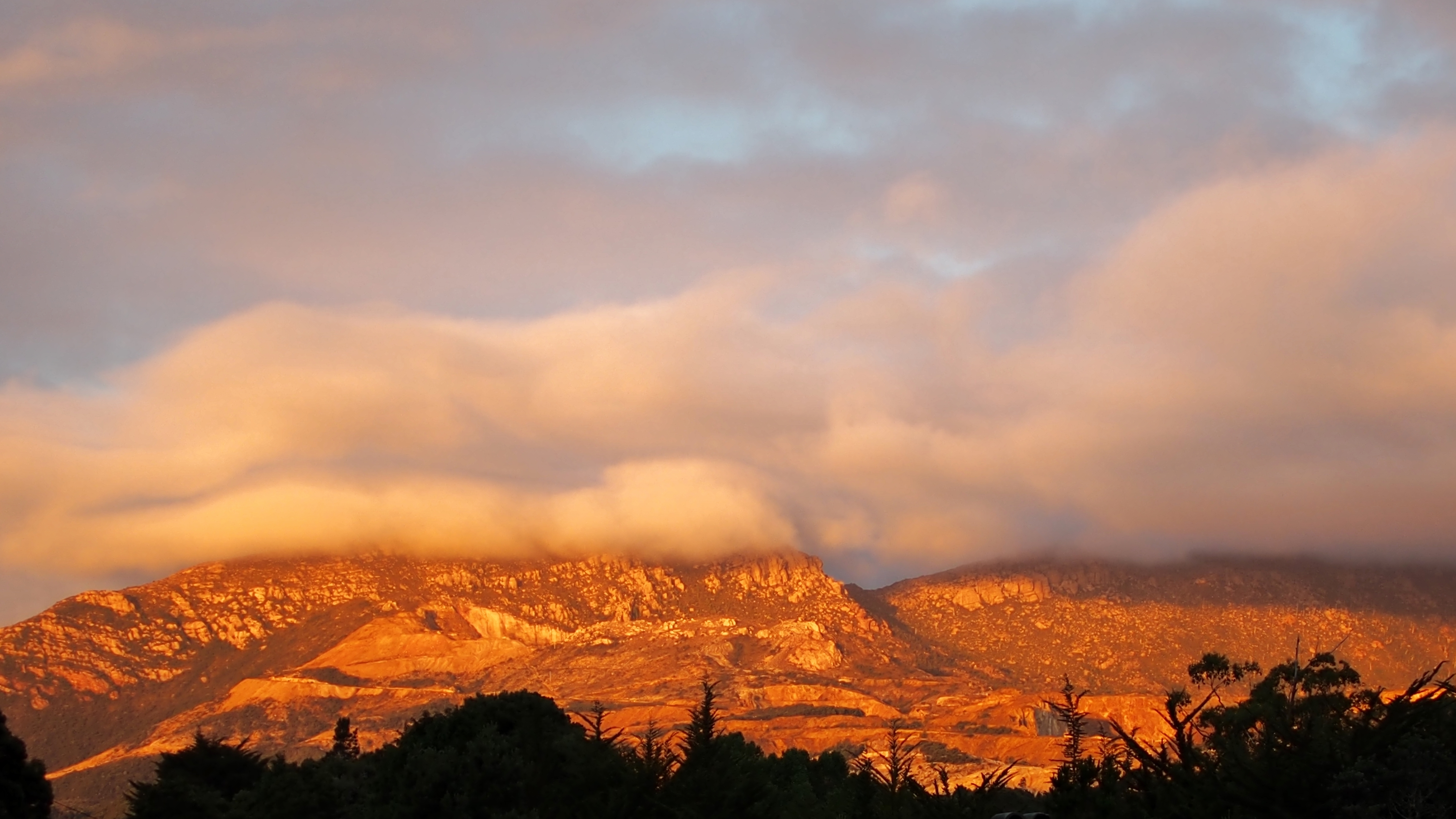
Sunset over Mt. Lyell, Queenstown

Queenstown-Tasmania-2010-01
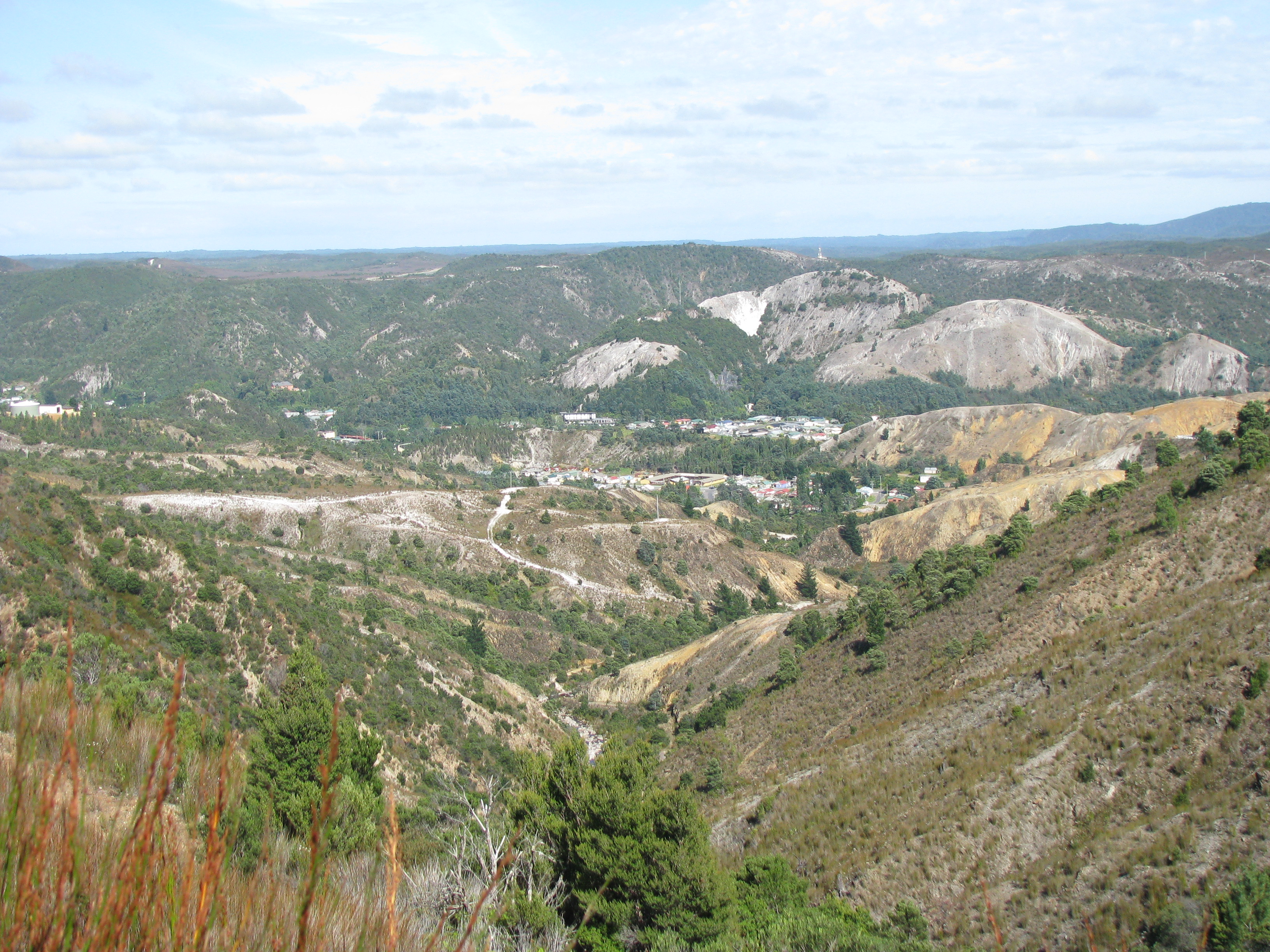
Queenstown, Tasmania
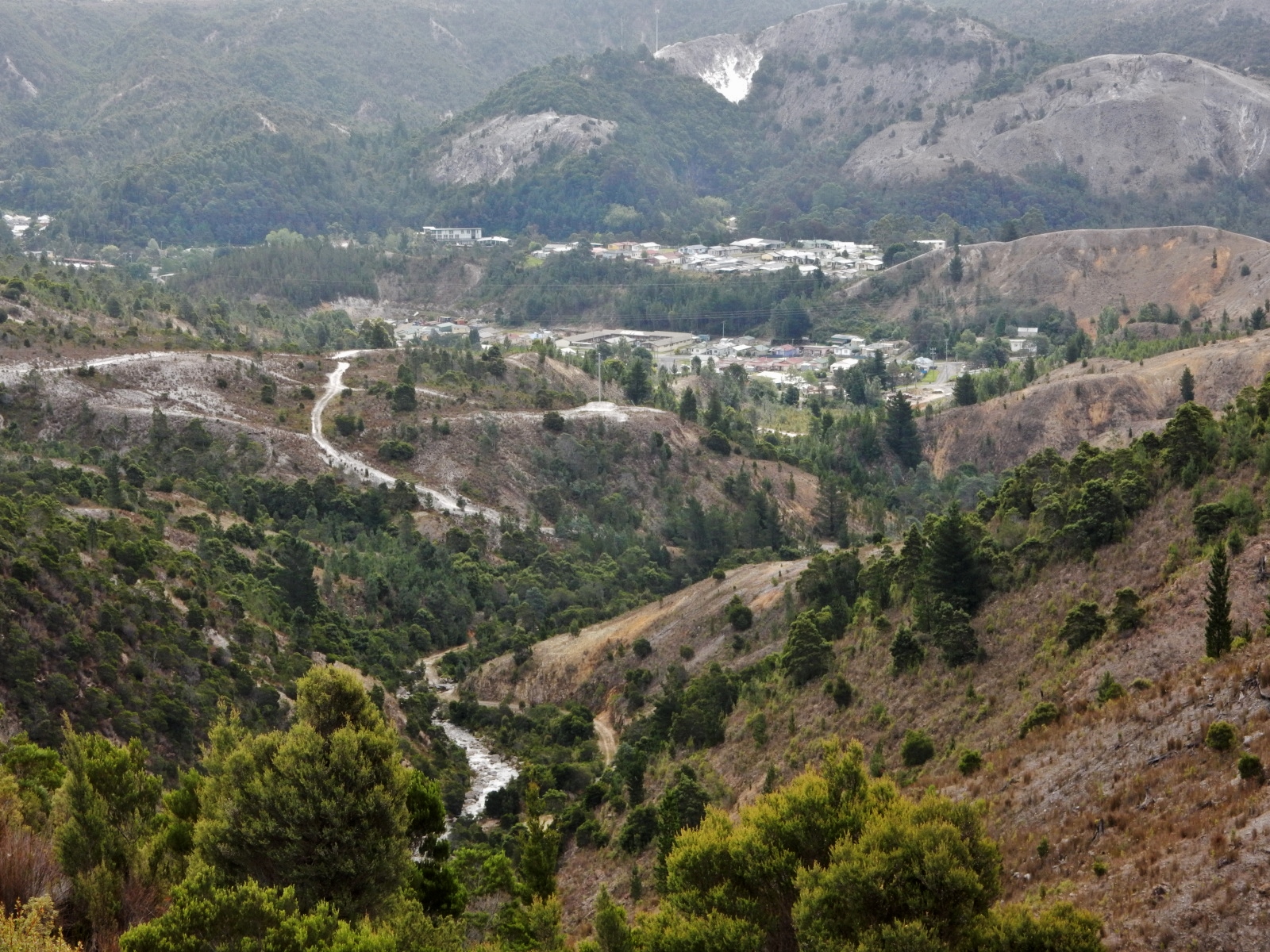
Queenstown, Tasmania
Bits of Queenstown

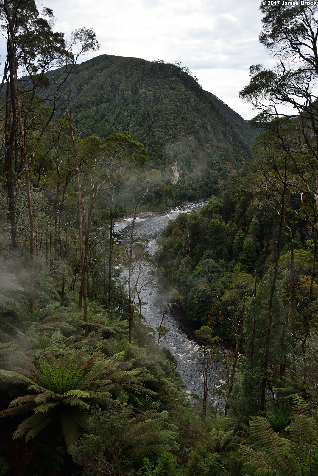
Nelsons Flow

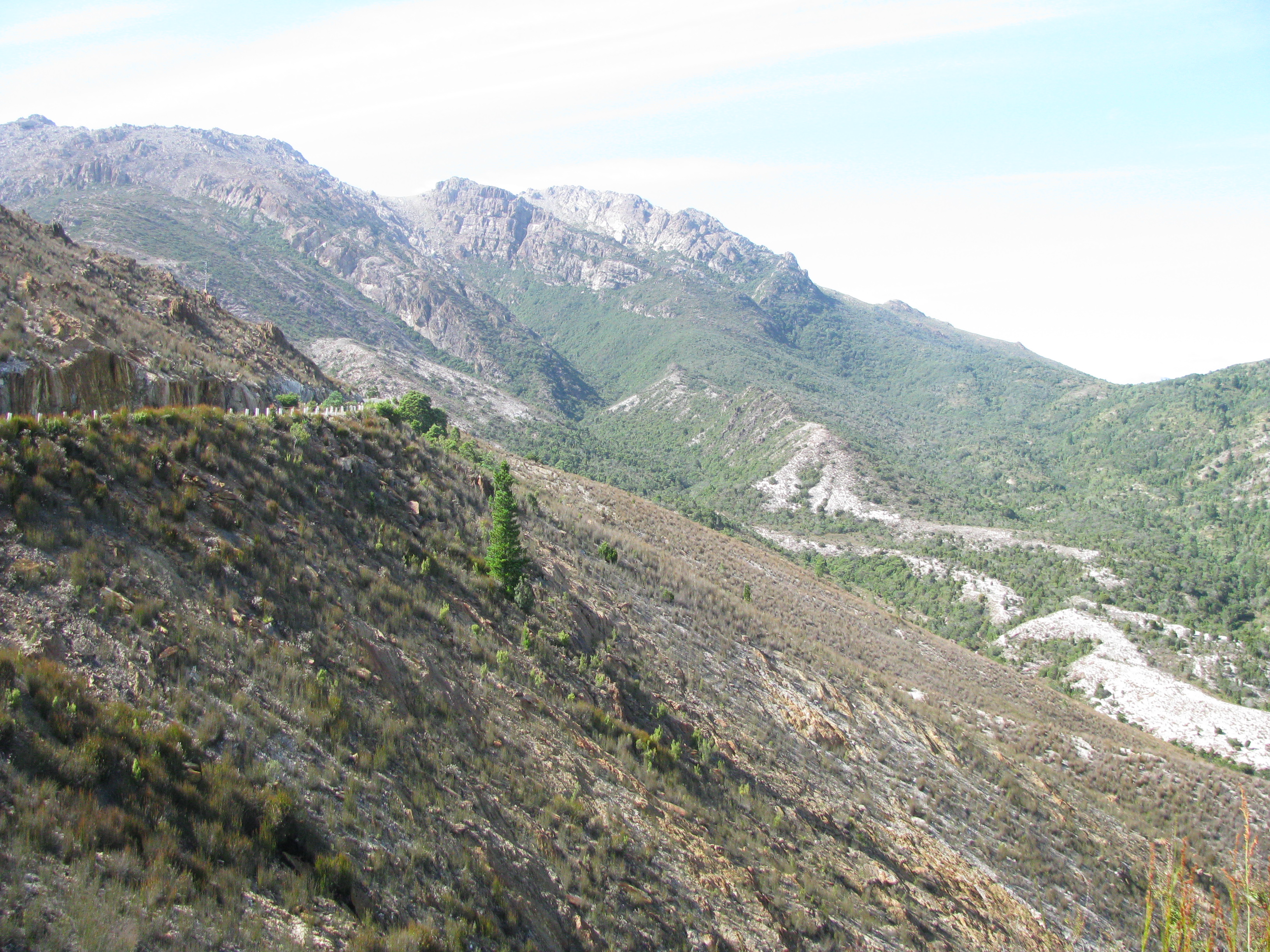
View from Strahan to Queenstown Rd
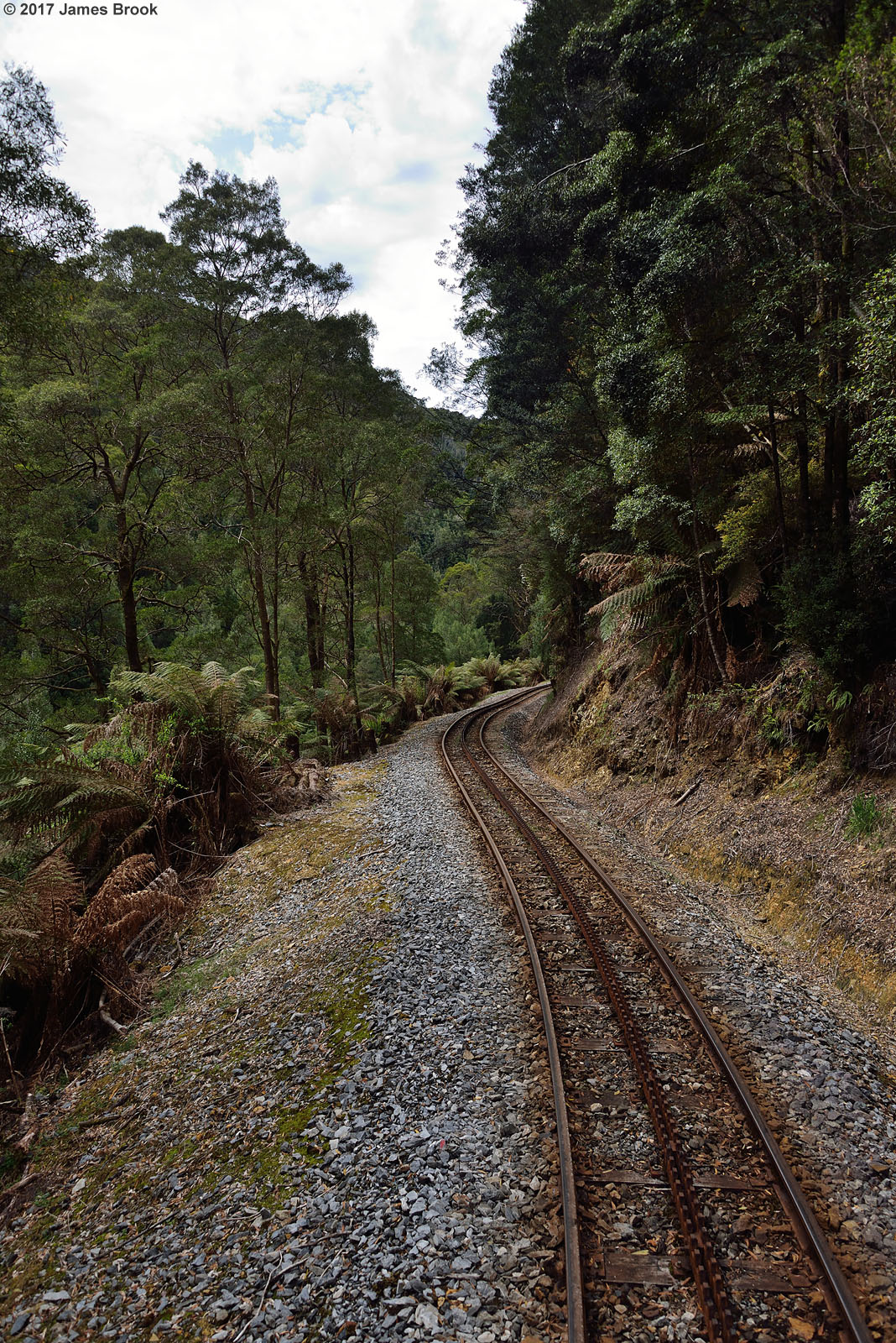
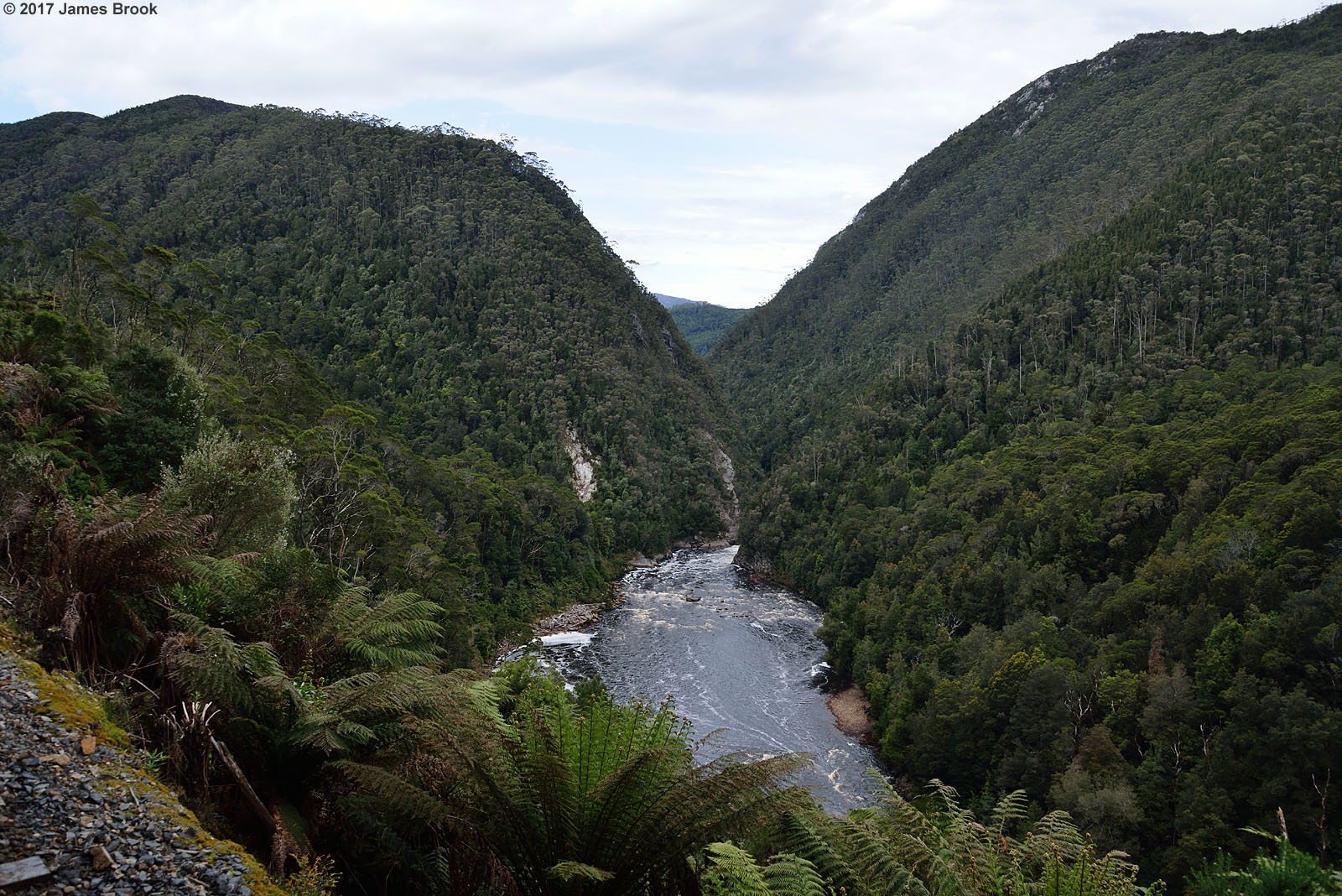
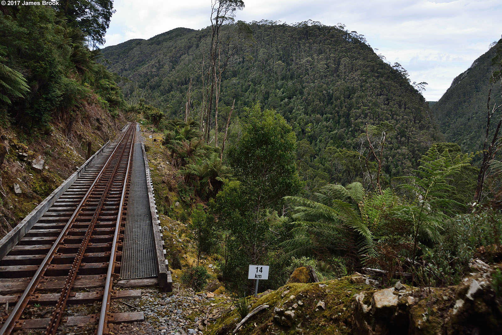
Lynchford to Rinadeena

Lynchford to Rinadeena
Dubbil Barril to Lower Landing
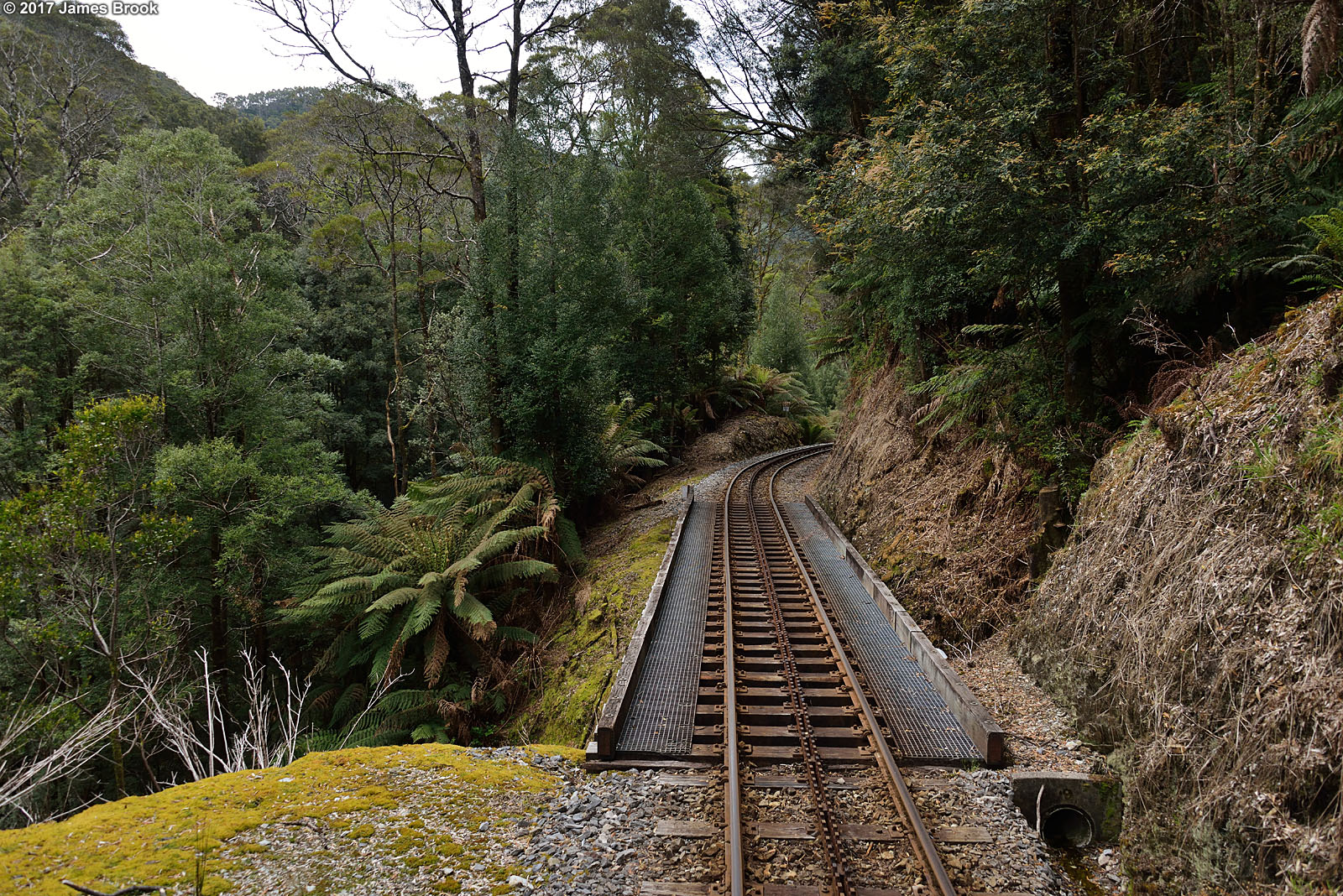
Lynchford to Rinadeena
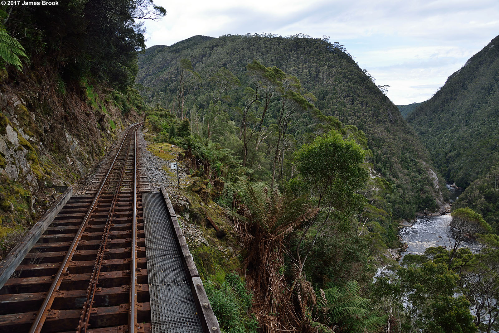
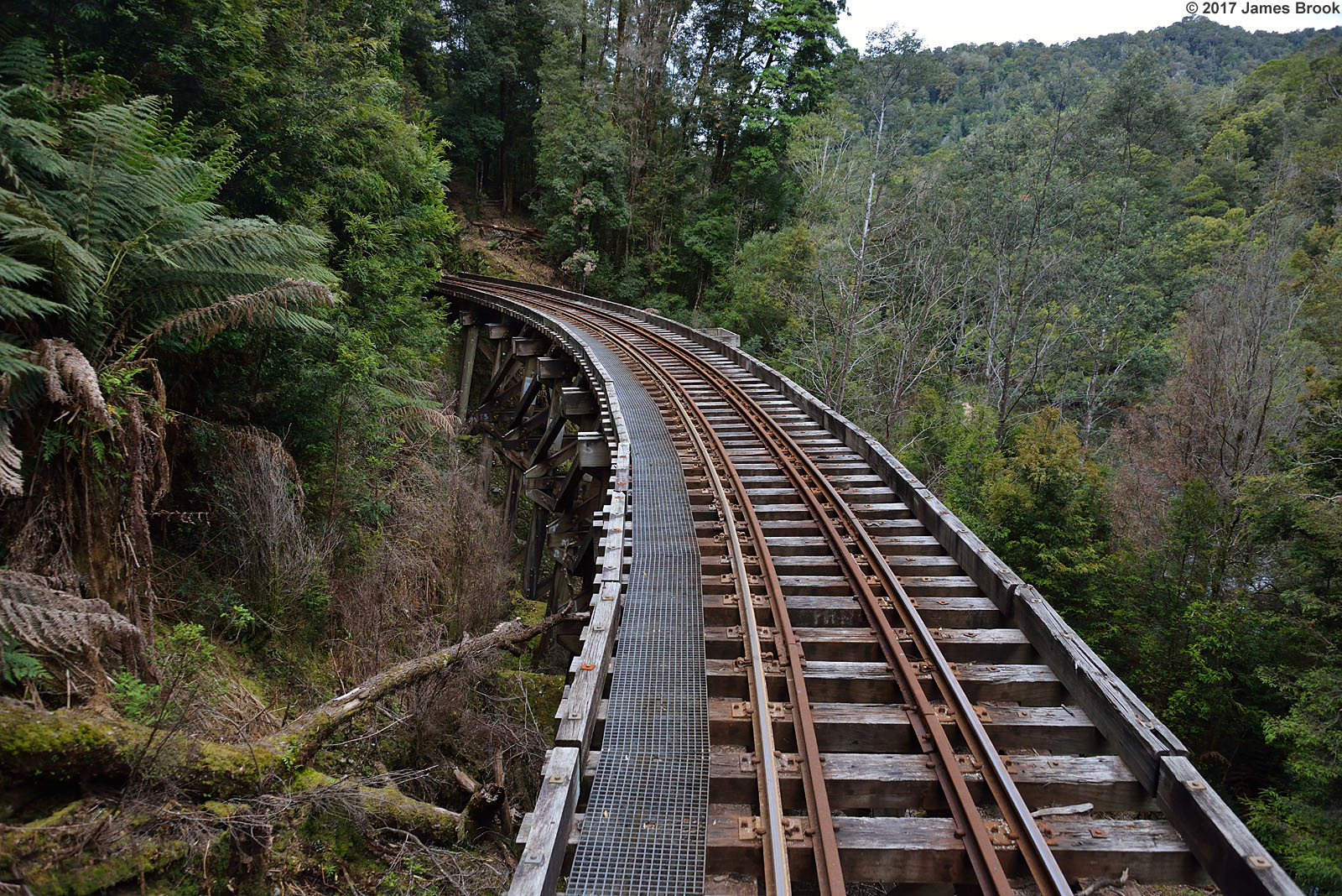
Rinadeena to Dubbil Barril
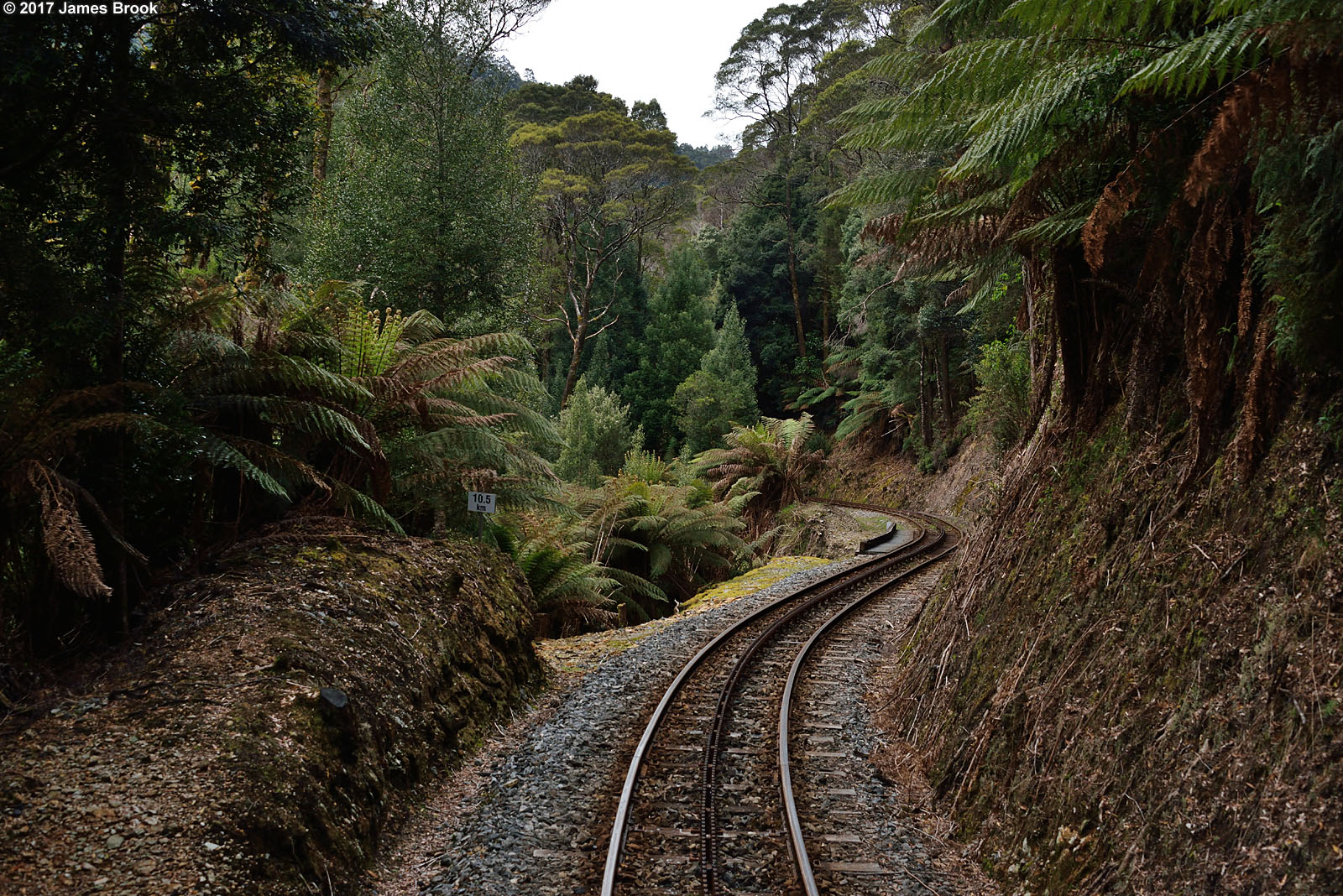
Lynchford to Rinadeena
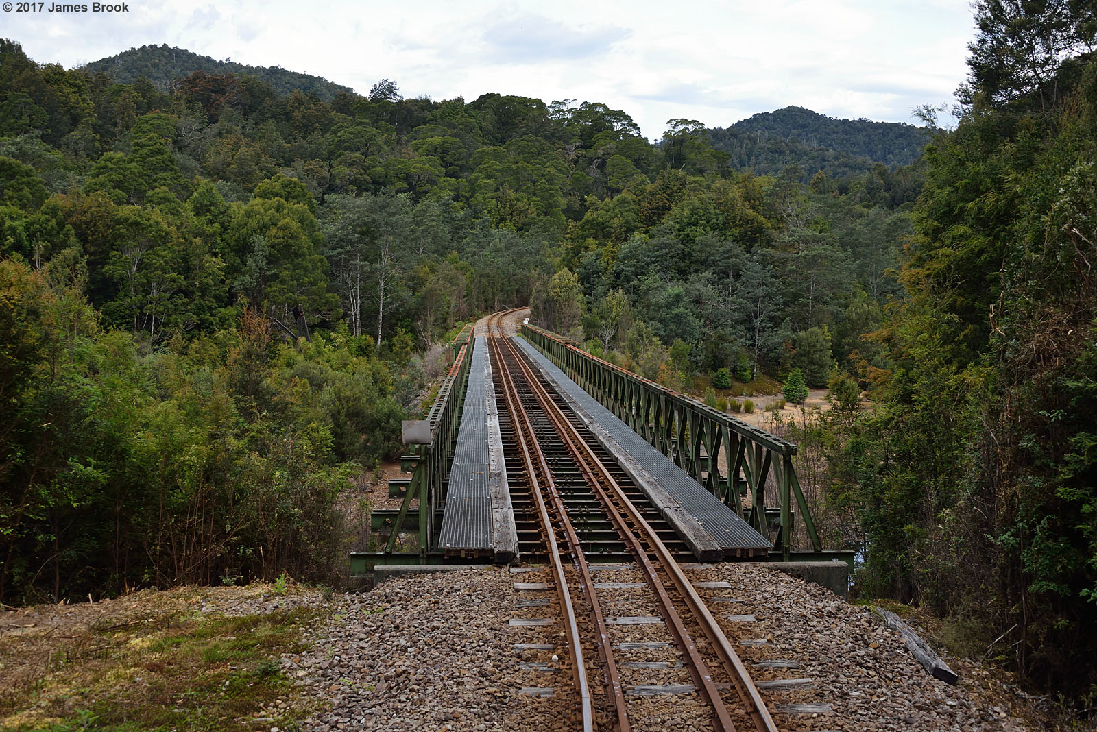
Quarter Mile bridge
Rinadeena to Dubbil Barril
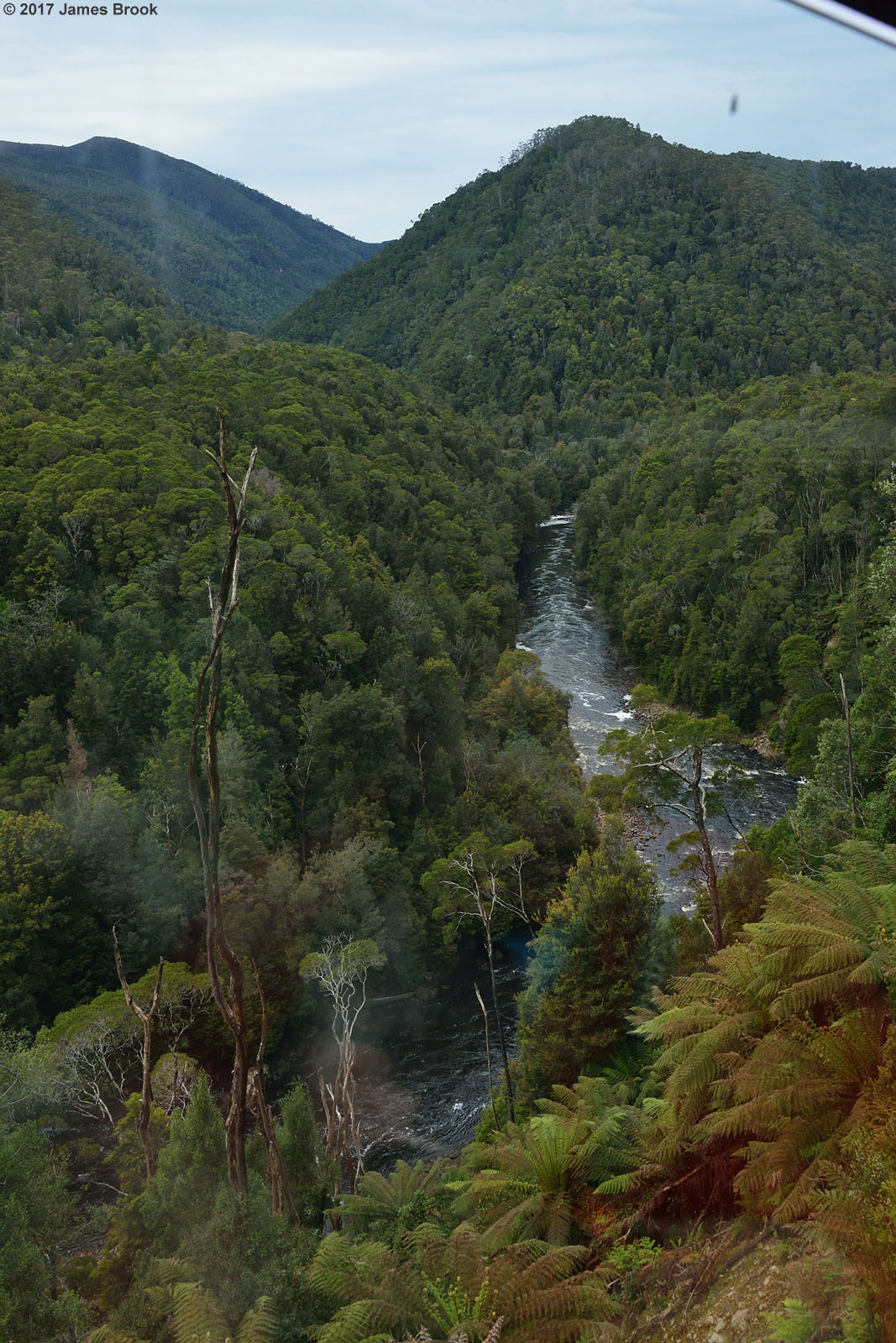
King River near Dubbil Barril

Iron Blow lookout
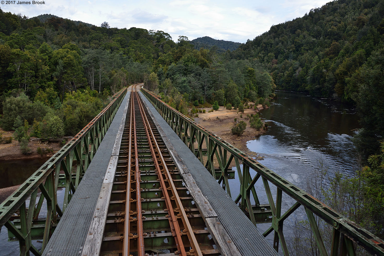
Quarter Mile bridge
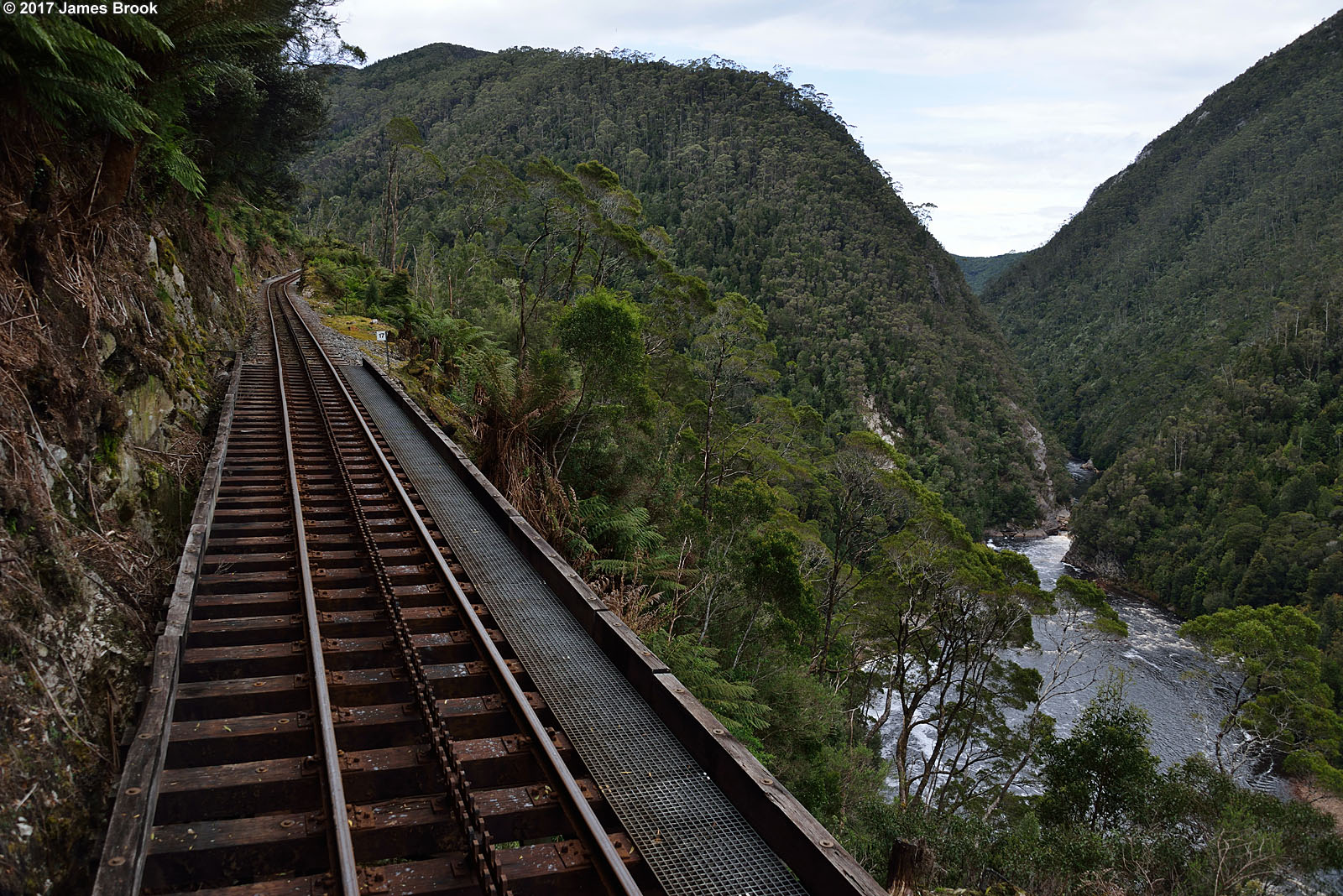
Rinadeena to Dubbil Barril

Kings River view from Wilderness Railway. West Coast Wilderness Railway, Tasmania, 31st May, 2005.
King River near Dubbil Barril
Rinadeena to Dubbil Barril
Queenstown Tasmanien, Australien Karte
Suchen Sie einen anderen Ort
Nahe Plätze
6 Mellor St, Queenstown TAS, Australien
25 Conlan St, Queenstown TAS, Australien
Strahan Tasmanien, Australien
Rosebery Tasmanien, Australien
Trial Harbour TAS, Australien
Dove Lake, Cradle Mountain Tasmanien, Australien
Granville Harbour, Tasmania, Australien
Stoodley TAS, Australien
Cradle Mountain TAS, Australien
Waratah TAS, Australien
Waratah-Wynyard Municipality, Tasmanien, Australien
Kentish Municipality, Tasmanien, Australien
Erriba TAS, Australien
Staverton TAS, Australien
Burnie City, Tasmanien, Australien
Tasmazia & The Village Of Lower Crackpot, Staverton Rd, Promised Land TAS, Australien
Central Coast Municipality, Tasmanien, Australien
Promised Land TAS, Australien
Henrietta TAS, Australien
Gunns Plains TAS, Australien
Letzte Suche
- Red Dog Mine, AK, USA Sonnenaufgang Sonnenuntergang Zeiten
- Am Bahnhof, Am bhf, Borken, Germany Sonnenaufgang Sonnenuntergang Zeiten
- 4th St E, Sonoma, CA, USA Sonnenaufgang Sonnenuntergang Zeiten
- Oakland Ave, Williamsport, PA, USA Sonnenaufgang Sonnenuntergang Zeiten
- Via Roma, Pieranica CR, Italien Sonnenaufgang Sonnenuntergang Zeiten
- Glockenturm, Grad, Dubrovnik, Kroatien Sonnenaufgang Sonnenuntergang Zeiten
- Trelew, Chubut Province, Argentina Sonnenaufgang Sonnenuntergang Zeiten
- Hartfords Bluff Cir, Mt Pleasant, SC, USA Sonnenaufgang Sonnenuntergang Zeiten
- Kita-ku, Kumamoto, Präfektur Kumamoto, Japan Sonnenaufgang Sonnenuntergang Zeiten
- Pingtan Island, Pingtan County, Fuzhou, China Sonnenaufgang Sonnenuntergang Zeiten