Palo Pinto County, Texas, USA Sonnenaufgang Sonnenuntergang Zeiten
Location: USA > Texas >
Zeitzone:
America/Chicago
Ortszeit:
2025-06-22 17:57:04
Länge:
-98.3104184
Breite:
32.7511956
Sonnenaufgang Heute:
06:26:23 AM
Sonnenuntergang Heute:
08:44:54 PM
Tageslänge heute:
14h 18m 31s
Sonnenaufgang morgen:
06:26:41 AM
Sonnenuntergang Morgen:
08:45:02 PM
Tageslänge von morgen:
14h 18m 21s
Alle Termine anzeigen
| Datum | Sonnenaufgang | Sonnenuntergang | Tageslänge |
|---|---|---|---|
| 2025-01-01 | 07:35:46 AM | 05:39:01 PM | 10h 3m 15s |
| 2025-01-02 | 07:35:56 AM | 05:39:47 PM | 10h 3m 51s |
| 2025-01-03 | 07:36:03 AM | 05:40:34 PM | 10h 4m 31s |
| 2025-01-04 | 07:36:09 AM | 05:41:22 PM | 10h 5m 13s |
| 2025-01-05 | 07:36:13 AM | 05:42:10 PM | 10h 5m 57s |
| 2025-01-06 | 07:36:15 AM | 05:43:00 PM | 10h 6m 45s |
| 2025-01-07 | 07:36:16 AM | 05:43:50 PM | 10h 7m 34s |
| 2025-01-08 | 07:36:15 AM | 05:44:41 PM | 10h 8m 26s |
| 2025-01-09 | 07:36:11 AM | 05:45:32 PM | 10h 9m 21s |
| 2025-01-10 | 07:36:07 AM | 05:46:25 PM | 10h 10m 18s |
| 2025-01-11 | 07:36:00 AM | 05:47:18 PM | 10h 11m 18s |
| 2025-01-12 | 07:35:51 AM | 05:48:11 PM | 10h 12m 20s |
| 2025-01-13 | 07:35:41 AM | 05:49:05 PM | 10h 13m 24s |
| 2025-01-14 | 07:35:29 AM | 05:49:59 PM | 10h 14m 30s |
| 2025-01-15 | 07:35:15 AM | 05:50:54 PM | 10h 15m 39s |
| 2025-01-16 | 07:34:59 AM | 05:51:49 PM | 10h 16m 50s |
| 2025-01-17 | 07:34:42 AM | 05:52:45 PM | 10h 18m 3s |
| 2025-01-18 | 07:34:23 AM | 05:53:41 PM | 10h 19m 18s |
| 2025-01-19 | 07:34:02 AM | 05:54:37 PM | 10h 20m 35s |
| 2025-01-20 | 07:33:39 AM | 05:55:33 PM | 10h 21m 54s |
| 2025-01-21 | 07:33:15 AM | 05:56:30 PM | 10h 23m 15s |
| 2025-01-22 | 07:32:49 AM | 05:57:26 PM | 10h 24m 37s |
| 2025-01-23 | 07:32:21 AM | 05:58:23 PM | 10h 26m 2s |
| 2025-01-24 | 07:31:52 AM | 05:59:20 PM | 10h 27m 28s |
| 2025-01-25 | 07:31:21 AM | 06:00:17 PM | 10h 28m 56s |
| 2025-01-26 | 07:30:48 AM | 06:01:14 PM | 10h 30m 26s |
| 2025-01-27 | 07:30:14 AM | 06:02:11 PM | 10h 31m 57s |
| 2025-01-28 | 07:29:38 AM | 06:03:08 PM | 10h 33m 30s |
| 2025-01-29 | 07:29:01 AM | 06:04:04 PM | 10h 35m 3s |
| 2025-01-30 | 07:28:22 AM | 06:05:01 PM | 10h 36m 39s |
| 2025-01-31 | 07:27:41 AM | 06:05:58 PM | 10h 38m 17s |
| 2025-02-01 | 07:26:59 AM | 06:06:54 PM | 10h 39m 55s |
| 2025-02-02 | 07:26:16 AM | 06:07:50 PM | 10h 41m 34s |
| 2025-02-03 | 07:25:31 AM | 06:08:46 PM | 10h 43m 15s |
| 2025-02-04 | 07:24:45 AM | 06:09:42 PM | 10h 44m 57s |
| 2025-02-05 | 07:23:57 AM | 06:10:38 PM | 10h 46m 41s |
| 2025-02-06 | 07:23:08 AM | 06:11:33 PM | 10h 48m 25s |
| 2025-02-07 | 07:22:18 AM | 06:12:28 PM | 10h 50m 10s |
| 2025-02-08 | 07:21:27 AM | 06:13:23 PM | 10h 51m 56s |
| 2025-02-09 | 07:20:34 AM | 06:14:18 PM | 10h 53m 44s |
| 2025-02-10 | 07:19:40 AM | 06:15:12 PM | 10h 55m 32s |
| 2025-02-11 | 07:18:44 AM | 06:16:06 PM | 10h 57m 22s |
| 2025-02-12 | 07:17:48 AM | 06:16:59 PM | 10h 59m 11s |
| 2025-02-13 | 07:16:50 AM | 06:17:53 PM | 11h 1m 3s |
| 2025-02-14 | 07:15:52 AM | 06:18:46 PM | 11h 2m 54s |
| 2025-02-15 | 07:14:52 AM | 06:19:38 PM | 11h 4m 46s |
| 2025-02-16 | 07:13:51 AM | 06:20:30 PM | 11h 6m 39s |
| 2025-02-17 | 07:12:49 AM | 06:21:22 PM | 11h 8m 33s |
| 2025-02-18 | 07:11:46 AM | 06:22:14 PM | 11h 10m 28s |
| 2025-02-19 | 07:10:42 AM | 06:23:05 PM | 11h 12m 23s |
| 2025-02-20 | 07:09:37 AM | 06:23:56 PM | 11h 14m 19s |
| 2025-02-21 | 07:08:32 AM | 06:24:46 PM | 11h 16m 14s |
| 2025-02-22 | 07:07:25 AM | 06:25:36 PM | 11h 18m 11s |
| 2025-02-23 | 07:06:18 AM | 06:26:26 PM | 11h 20m 8s |
| 2025-02-24 | 07:05:10 AM | 06:27:16 PM | 11h 22m 6s |
| 2025-02-25 | 07:04:00 AM | 06:28:05 PM | 11h 24m 5s |
| 2025-02-26 | 07:02:51 AM | 06:28:53 PM | 11h 26m 2s |
| 2025-02-27 | 07:01:40 AM | 06:29:42 PM | 11h 28m 2s |
| 2025-02-28 | 07:00:29 AM | 06:30:30 PM | 11h 30m 1s |
| 2025-03-01 | 06:59:17 AM | 06:31:17 PM | 11h 32m 0s |
| 2025-03-02 | 06:58:05 AM | 06:32:05 PM | 11h 34m 0s |
| 2025-03-03 | 06:56:51 AM | 06:32:52 PM | 11h 36m 1s |
| 2025-03-04 | 06:55:38 AM | 06:33:39 PM | 11h 38m 1s |
| 2025-03-05 | 06:54:24 AM | 06:34:25 PM | 11h 40m 1s |
| 2025-03-06 | 06:53:09 AM | 06:35:11 PM | 11h 42m 2s |
| 2025-03-07 | 06:51:54 AM | 06:35:57 PM | 11h 44m 3s |
| 2025-03-08 | 06:50:38 AM | 06:36:43 PM | 11h 46m 5s |
| 2025-03-09 | 07:49:25 AM | 07:37:26 PM | 11h 48m 1s |
| 2025-03-10 | 07:48:09 AM | 07:38:11 PM | 11h 50m 2s |
| 2025-03-11 | 07:46:52 AM | 07:38:56 PM | 11h 52m 4s |
| 2025-03-12 | 07:45:35 AM | 07:39:41 PM | 11h 54m 6s |
| 2025-03-13 | 07:44:17 AM | 07:40:25 PM | 11h 56m 8s |
| 2025-03-14 | 07:42:59 AM | 07:41:09 PM | 11h 58m 10s |
| 2025-03-15 | 07:41:41 AM | 07:41:53 PM | 12h 0m 12s |
| 2025-03-16 | 07:40:23 AM | 07:42:37 PM | 12h 2m 14s |
| 2025-03-17 | 07:39:05 AM | 07:43:21 PM | 12h 4m 16s |
| 2025-03-18 | 07:37:46 AM | 07:44:04 PM | 12h 6m 18s |
| 2025-03-19 | 07:36:27 AM | 07:44:47 PM | 12h 8m 20s |
| 2025-03-20 | 07:35:09 AM | 07:45:31 PM | 12h 10m 22s |
| 2025-03-21 | 07:33:50 AM | 07:46:14 PM | 12h 12m 24s |
| 2025-03-22 | 07:32:31 AM | 07:46:57 PM | 12h 14m 26s |
| 2025-03-23 | 07:31:12 AM | 07:47:39 PM | 12h 16m 27s |
| 2025-03-24 | 07:29:53 AM | 07:48:22 PM | 12h 18m 29s |
| 2025-03-25 | 07:28:34 AM | 07:49:05 PM | 12h 20m 31s |
| 2025-03-26 | 07:27:15 AM | 07:49:47 PM | 12h 22m 32s |
| 2025-03-27 | 07:25:57 AM | 07:50:30 PM | 12h 24m 33s |
| 2025-03-28 | 07:24:38 AM | 07:51:12 PM | 12h 26m 34s |
| 2025-03-29 | 07:23:20 AM | 07:51:55 PM | 12h 28m 35s |
| 2025-03-30 | 07:22:01 AM | 07:52:37 PM | 12h 30m 36s |
| 2025-03-31 | 07:20:43 AM | 07:53:20 PM | 12h 32m 37s |
| 2025-04-01 | 07:19:26 AM | 07:54:02 PM | 12h 34m 36s |
| 2025-04-02 | 07:18:08 AM | 07:54:44 PM | 12h 36m 36s |
| 2025-04-03 | 07:16:51 AM | 07:55:27 PM | 12h 38m 36s |
| 2025-04-04 | 07:15:34 AM | 07:56:09 PM | 12h 40m 35s |
| 2025-04-05 | 07:14:17 AM | 07:56:52 PM | 12h 42m 35s |
| 2025-04-06 | 07:13:01 AM | 07:57:34 PM | 12h 44m 33s |
| 2025-04-07 | 07:11:46 AM | 07:58:17 PM | 12h 46m 31s |
| 2025-04-08 | 07:10:30 AM | 07:58:59 PM | 12h 48m 29s |
| 2025-04-09 | 07:09:15 AM | 07:59:42 PM | 12h 50m 27s |
| 2025-04-10 | 07:08:01 AM | 08:00:25 PM | 12h 52m 24s |
| 2025-04-11 | 07:06:47 AM | 08:01:08 PM | 12h 54m 21s |
| 2025-04-12 | 07:05:34 AM | 08:01:50 PM | 12h 56m 16s |
| 2025-04-13 | 07:04:21 AM | 08:02:33 PM | 12h 58m 12s |
| 2025-04-14 | 07:03:09 AM | 08:03:16 PM | 13h 0m 7s |
| 2025-04-15 | 07:01:58 AM | 08:03:59 PM | 13h 2m 1s |
| 2025-04-16 | 07:00:47 AM | 08:04:43 PM | 13h 3m 56s |
| 2025-04-17 | 06:59:37 AM | 08:05:26 PM | 13h 5m 49s |
| 2025-04-18 | 06:58:28 AM | 08:06:09 PM | 13h 7m 41s |
| 2025-04-19 | 06:57:19 AM | 08:06:53 PM | 13h 9m 34s |
| 2025-04-20 | 06:56:11 AM | 08:07:36 PM | 13h 11m 25s |
| 2025-04-21 | 06:55:04 AM | 08:08:20 PM | 13h 13m 16s |
| 2025-04-22 | 06:53:58 AM | 08:09:04 PM | 13h 15m 6s |
| 2025-04-23 | 06:52:53 AM | 08:09:47 PM | 13h 16m 54s |
| 2025-04-24 | 06:51:48 AM | 08:10:31 PM | 13h 18m 43s |
| 2025-04-25 | 06:50:45 AM | 08:11:15 PM | 13h 20m 30s |
| 2025-04-26 | 06:49:42 AM | 08:11:59 PM | 13h 22m 17s |
| 2025-04-27 | 06:48:41 AM | 08:12:43 PM | 13h 24m 2s |
| 2025-04-28 | 06:47:40 AM | 08:13:27 PM | 13h 25m 47s |
| 2025-04-29 | 06:46:40 AM | 08:14:11 PM | 13h 27m 31s |
| 2025-04-30 | 06:45:42 AM | 08:14:55 PM | 13h 29m 13s |
| 2025-05-01 | 06:44:44 AM | 08:15:40 PM | 13h 30m 56s |
| 2025-05-02 | 06:43:48 AM | 08:16:24 PM | 13h 32m 36s |
| 2025-05-03 | 06:42:53 AM | 08:17:08 PM | 13h 34m 15s |
| 2025-05-04 | 06:41:58 AM | 08:17:52 PM | 13h 35m 54s |
| 2025-05-05 | 06:41:05 AM | 08:18:36 PM | 13h 37m 31s |
| 2025-05-06 | 06:40:13 AM | 08:19:20 PM | 13h 39m 7s |
| 2025-05-07 | 06:39:23 AM | 08:20:04 PM | 13h 40m 41s |
| 2025-05-08 | 06:38:33 AM | 08:20:48 PM | 13h 42m 15s |
| 2025-05-09 | 06:37:45 AM | 08:21:32 PM | 13h 43m 47s |
| 2025-05-10 | 06:36:58 AM | 08:22:15 PM | 13h 45m 17s |
| 2025-05-11 | 06:36:13 AM | 08:22:59 PM | 13h 46m 46s |
| 2025-05-12 | 06:35:29 AM | 08:23:42 PM | 13h 48m 13s |
| 2025-05-13 | 06:34:46 AM | 08:24:25 PM | 13h 49m 39s |
| 2025-05-14 | 06:34:04 AM | 08:25:08 PM | 13h 51m 4s |
| 2025-05-15 | 06:33:24 AM | 08:25:51 PM | 13h 52m 27s |
| 2025-05-16 | 06:32:45 AM | 08:26:33 PM | 13h 53m 48s |
| 2025-05-17 | 06:32:08 AM | 08:27:15 PM | 13h 55m 7s |
| 2025-05-18 | 06:31:32 AM | 08:27:57 PM | 13h 56m 25s |
| 2025-05-19 | 06:30:57 AM | 08:28:39 PM | 13h 57m 42s |
| 2025-05-20 | 06:30:24 AM | 08:29:20 PM | 13h 58m 56s |
| 2025-05-21 | 06:29:52 AM | 08:30:00 PM | 14h 0m 8s |
| 2025-05-22 | 06:29:22 AM | 08:30:40 PM | 14h 1m 18s |
| 2025-05-23 | 06:28:54 AM | 08:31:20 PM | 14h 2m 26s |
| 2025-05-24 | 06:28:26 AM | 08:31:59 PM | 14h 3m 33s |
| 2025-05-25 | 06:28:01 AM | 08:32:38 PM | 14h 4m 37s |
| 2025-05-26 | 06:27:37 AM | 08:33:16 PM | 14h 5m 39s |
| 2025-05-27 | 06:27:14 AM | 08:33:54 PM | 14h 6m 40s |
| 2025-05-28 | 06:26:53 AM | 08:34:30 PM | 14h 7m 37s |
| 2025-05-29 | 06:26:33 AM | 08:35:07 PM | 14h 8m 34s |
| 2025-05-30 | 06:26:15 AM | 08:35:42 PM | 14h 9m 27s |
| 2025-05-31 | 06:25:59 AM | 08:36:17 PM | 14h 10m 18s |
| 2025-06-01 | 06:25:44 AM | 08:36:51 PM | 14h 11m 7s |
| 2025-06-02 | 06:25:31 AM | 08:37:24 PM | 14h 11m 53s |
| 2025-06-03 | 06:25:19 AM | 08:37:56 PM | 14h 12m 37s |
| 2025-06-04 | 06:25:09 AM | 08:38:28 PM | 14h 13m 19s |
| 2025-06-05 | 06:25:00 AM | 08:38:59 PM | 14h 13m 59s |
| 2025-06-06 | 06:24:53 AM | 08:39:28 PM | 14h 14m 35s |
| 2025-06-07 | 06:24:47 AM | 08:39:57 PM | 14h 15m 10s |
| 2025-06-08 | 06:24:43 AM | 08:40:25 PM | 14h 15m 42s |
| 2025-06-09 | 06:24:40 AM | 08:40:51 PM | 14h 16m 11s |
| 2025-06-10 | 06:24:39 AM | 08:41:17 PM | 14h 16m 38s |
| 2025-06-11 | 06:24:39 AM | 08:41:41 PM | 14h 17m 2s |
| 2025-06-12 | 06:24:41 AM | 08:42:05 PM | 14h 17m 24s |
| 2025-06-13 | 06:24:44 AM | 08:42:27 PM | 14h 17m 43s |
| 2025-06-14 | 06:24:49 AM | 08:42:48 PM | 14h 17m 59s |
| 2025-06-15 | 06:24:55 AM | 08:43:07 PM | 14h 18m 12s |
| 2025-06-16 | 06:25:02 AM | 08:43:26 PM | 14h 18m 24s |
| 2025-06-17 | 06:25:11 AM | 08:43:43 PM | 14h 18m 32s |
| 2025-06-18 | 06:25:22 AM | 08:43:59 PM | 14h 18m 37s |
| 2025-06-19 | 06:25:33 AM | 08:44:14 PM | 14h 18m 41s |
| 2025-06-20 | 06:25:46 AM | 08:44:27 PM | 14h 18m 41s |
| 2025-06-21 | 06:26:00 AM | 08:44:39 PM | 14h 18m 39s |
| 2025-06-22 | 06:26:16 AM | 08:44:49 PM | 14h 18m 33s |
| 2025-06-23 | 06:26:32 AM | 08:44:58 PM | 14h 18m 26s |
| 2025-06-24 | 06:26:50 AM | 08:45:06 PM | 14h 18m 16s |
| 2025-06-25 | 06:27:10 AM | 08:45:12 PM | 14h 18m 2s |
| 2025-06-26 | 06:27:30 AM | 08:45:17 PM | 14h 17m 47s |
| 2025-06-27 | 06:27:51 AM | 08:45:20 PM | 14h 17m 29s |
| 2025-06-28 | 06:28:14 AM | 08:45:21 PM | 14h 17m 7s |
| 2025-06-29 | 06:28:37 AM | 08:45:21 PM | 14h 16m 44s |
| 2025-06-30 | 06:29:02 AM | 08:45:20 PM | 14h 16m 18s |
| 2025-07-01 | 06:29:28 AM | 08:45:17 PM | 14h 15m 49s |
| 2025-07-02 | 06:29:54 AM | 08:45:13 PM | 14h 15m 19s |
| 2025-07-03 | 06:30:22 AM | 08:45:07 PM | 14h 14m 45s |
| 2025-07-04 | 06:30:50 AM | 08:44:59 PM | 14h 14m 9s |
| 2025-07-05 | 06:31:20 AM | 08:44:50 PM | 14h 13m 30s |
| 2025-07-06 | 06:31:50 AM | 08:44:39 PM | 14h 12m 49s |
| 2025-07-07 | 06:32:21 AM | 08:44:26 PM | 14h 12m 5s |
| 2025-07-08 | 06:32:52 AM | 08:44:12 PM | 14h 11m 20s |
| 2025-07-09 | 06:33:25 AM | 08:43:57 PM | 14h 10m 32s |
| 2025-07-10 | 06:33:58 AM | 08:43:40 PM | 14h 9m 42s |
| 2025-07-11 | 06:34:32 AM | 08:43:21 PM | 14h 8m 49s |
| 2025-07-12 | 06:35:06 AM | 08:43:01 PM | 14h 7m 55s |
| 2025-07-13 | 06:35:42 AM | 08:42:39 PM | 14h 6m 57s |
| 2025-07-14 | 06:36:17 AM | 08:42:16 PM | 14h 5m 59s |
| 2025-07-15 | 06:36:53 AM | 08:41:51 PM | 14h 4m 58s |
| 2025-07-16 | 06:37:30 AM | 08:41:24 PM | 14h 3m 54s |
| 2025-07-17 | 06:38:07 AM | 08:40:56 PM | 14h 2m 49s |
| 2025-07-18 | 06:38:45 AM | 08:40:26 PM | 14h 1m 41s |
| 2025-07-19 | 06:39:23 AM | 08:39:55 PM | 14h 0m 32s |
| 2025-07-20 | 06:40:01 AM | 08:39:23 PM | 13h 59m 22s |
| 2025-07-21 | 06:40:40 AM | 08:38:48 PM | 13h 58m 8s |
| 2025-07-22 | 06:41:19 AM | 08:38:13 PM | 13h 56m 54s |
| 2025-07-23 | 06:41:59 AM | 08:37:36 PM | 13h 55m 37s |
| 2025-07-24 | 06:42:38 AM | 08:36:57 PM | 13h 54m 19s |
| 2025-07-25 | 06:43:18 AM | 08:36:17 PM | 13h 52m 59s |
| 2025-07-26 | 06:43:58 AM | 08:35:36 PM | 13h 51m 38s |
| 2025-07-27 | 06:44:39 AM | 08:34:53 PM | 13h 50m 14s |
| 2025-07-28 | 06:45:19 AM | 08:34:09 PM | 13h 48m 50s |
| 2025-07-29 | 06:46:00 AM | 08:33:23 PM | 13h 47m 23s |
| 2025-07-30 | 06:46:40 AM | 08:32:37 PM | 13h 45m 57s |
| 2025-07-31 | 06:47:21 AM | 08:31:48 PM | 13h 44m 27s |
| 2025-08-01 | 06:48:02 AM | 08:30:59 PM | 13h 42m 57s |
| 2025-08-02 | 06:48:43 AM | 08:30:08 PM | 13h 41m 25s |
| 2025-08-03 | 06:49:24 AM | 08:29:16 PM | 13h 39m 52s |
| 2025-08-04 | 06:50:05 AM | 08:28:23 PM | 13h 38m 18s |
| 2025-08-05 | 06:50:46 AM | 08:27:29 PM | 13h 36m 43s |
| 2025-08-06 | 06:51:27 AM | 08:26:33 PM | 13h 35m 6s |
| 2025-08-07 | 06:52:08 AM | 08:25:36 PM | 13h 33m 28s |
| 2025-08-08 | 06:52:49 AM | 08:24:38 PM | 13h 31m 49s |
| 2025-08-09 | 06:53:30 AM | 08:23:39 PM | 13h 30m 9s |
| 2025-08-10 | 06:54:11 AM | 08:22:39 PM | 13h 28m 28s |
| 2025-08-11 | 06:54:52 AM | 08:21:38 PM | 13h 26m 46s |
| 2025-08-12 | 06:55:33 AM | 08:20:36 PM | 13h 25m 3s |
| 2025-08-13 | 06:56:13 AM | 08:19:33 PM | 13h 23m 20s |
| 2025-08-14 | 06:56:54 AM | 08:18:29 PM | 13h 21m 35s |
| 2025-08-15 | 06:57:34 AM | 08:17:23 PM | 13h 19m 49s |
| 2025-08-16 | 06:58:15 AM | 08:16:17 PM | 13h 18m 2s |
| 2025-08-17 | 06:58:55 AM | 08:15:10 PM | 13h 16m 15s |
| 2025-08-18 | 06:59:35 AM | 08:14:03 PM | 13h 14m 28s |
| 2025-08-19 | 07:00:15 AM | 08:12:54 PM | 13h 12m 39s |
| 2025-08-20 | 07:00:55 AM | 08:11:44 PM | 13h 10m 49s |
| 2025-08-21 | 07:01:35 AM | 08:10:34 PM | 13h 8m 59s |
| 2025-08-22 | 07:02:15 AM | 08:09:23 PM | 13h 7m 8s |
| 2025-08-23 | 07:02:54 AM | 08:08:11 PM | 13h 5m 17s |
| 2025-08-24 | 07:03:33 AM | 08:06:59 PM | 13h 3m 26s |
| 2025-08-25 | 07:04:13 AM | 08:05:46 PM | 13h 1m 33s |
| 2025-08-26 | 07:04:52 AM | 08:04:32 PM | 12h 59m 40s |
| 2025-08-27 | 07:05:31 AM | 08:03:17 PM | 12h 57m 46s |
| 2025-08-28 | 07:06:10 AM | 08:02:02 PM | 12h 55m 52s |
| 2025-08-29 | 07:06:49 AM | 08:00:46 PM | 12h 53m 57s |
| 2025-08-30 | 07:07:28 AM | 07:59:30 PM | 12h 52m 2s |
| 2025-08-31 | 07:08:06 AM | 07:58:13 PM | 12h 50m 7s |
| 2025-09-01 | 07:08:45 AM | 07:56:56 PM | 12h 48m 11s |
| 2025-09-02 | 07:09:24 AM | 07:55:39 PM | 12h 46m 15s |
| 2025-09-03 | 07:10:02 AM | 07:54:20 PM | 12h 44m 18s |
| 2025-09-04 | 07:10:40 AM | 07:53:02 PM | 12h 42m 22s |
| 2025-09-05 | 07:11:19 AM | 07:51:43 PM | 12h 40m 24s |
| 2025-09-06 | 07:11:57 AM | 07:50:24 PM | 12h 38m 27s |
| 2025-09-07 | 07:12:35 AM | 07:49:04 PM | 12h 36m 29s |
| 2025-09-08 | 07:13:13 AM | 07:47:44 PM | 12h 34m 31s |
| 2025-09-09 | 07:13:52 AM | 07:46:24 PM | 12h 32m 32s |
| 2025-09-10 | 07:14:30 AM | 07:45:04 PM | 12h 30m 34s |
| 2025-09-11 | 07:15:08 AM | 07:43:43 PM | 12h 28m 35s |
| 2025-09-12 | 07:15:46 AM | 07:42:22 PM | 12h 26m 36s |
| 2025-09-13 | 07:16:25 AM | 07:41:01 PM | 12h 24m 36s |
| 2025-09-14 | 07:17:03 AM | 07:39:40 PM | 12h 22m 37s |
| 2025-09-15 | 07:17:41 AM | 07:38:19 PM | 12h 20m 38s |
| 2025-09-16 | 07:18:19 AM | 07:36:58 PM | 12h 18m 39s |
| 2025-09-17 | 07:18:58 AM | 07:35:36 PM | 12h 16m 38s |
| 2025-09-18 | 07:19:36 AM | 07:34:15 PM | 12h 14m 39s |
| 2025-09-19 | 07:20:15 AM | 07:32:54 PM | 12h 12m 39s |
| 2025-09-20 | 07:20:54 AM | 07:31:32 PM | 12h 10m 38s |
| 2025-09-21 | 07:21:33 AM | 07:30:11 PM | 12h 8m 38s |
| 2025-09-22 | 07:22:12 AM | 07:28:50 PM | 12h 6m 38s |
| 2025-09-23 | 07:22:51 AM | 07:27:29 PM | 12h 4m 38s |
| 2025-09-24 | 07:23:30 AM | 07:26:08 PM | 12h 2m 38s |
| 2025-09-25 | 07:24:10 AM | 07:24:47 PM | 12h 0m 37s |
| 2025-09-26 | 07:24:49 AM | 07:23:27 PM | 11h 58m 38s |
| 2025-09-27 | 07:25:29 AM | 07:22:07 PM | 11h 56m 38s |
| 2025-09-28 | 07:26:09 AM | 07:20:47 PM | 11h 54m 38s |
| 2025-09-29 | 07:26:50 AM | 07:19:27 PM | 11h 52m 37s |
| 2025-09-30 | 07:27:30 AM | 07:18:08 PM | 11h 50m 38s |
| 2025-10-01 | 07:28:11 AM | 07:16:49 PM | 11h 48m 38s |
| 2025-10-02 | 07:28:52 AM | 07:15:30 PM | 11h 46m 38s |
| 2025-10-03 | 07:29:33 AM | 07:14:12 PM | 11h 44m 39s |
| 2025-10-04 | 07:30:15 AM | 07:12:54 PM | 11h 42m 39s |
| 2025-10-05 | 07:30:56 AM | 07:11:37 PM | 11h 40m 41s |
| 2025-10-06 | 07:31:39 AM | 07:10:20 PM | 11h 38m 41s |
| 2025-10-07 | 07:32:21 AM | 07:09:04 PM | 11h 36m 43s |
| 2025-10-08 | 07:33:04 AM | 07:07:48 PM | 11h 34m 44s |
| 2025-10-09 | 07:33:47 AM | 07:06:33 PM | 11h 32m 46s |
| 2025-10-10 | 07:34:30 AM | 07:05:18 PM | 11h 30m 48s |
| 2025-10-11 | 07:35:14 AM | 07:04:04 PM | 11h 28m 50s |
| 2025-10-12 | 07:35:58 AM | 07:02:51 PM | 11h 26m 53s |
| 2025-10-13 | 07:36:43 AM | 07:01:39 PM | 11h 24m 56s |
| 2025-10-14 | 07:37:28 AM | 07:00:27 PM | 11h 22m 59s |
| 2025-10-15 | 07:38:13 AM | 06:59:16 PM | 11h 21m 3s |
| 2025-10-16 | 07:38:58 AM | 06:58:06 PM | 11h 19m 8s |
| 2025-10-17 | 07:39:44 AM | 06:56:56 PM | 11h 17m 12s |
| 2025-10-18 | 07:40:31 AM | 06:55:48 PM | 11h 15m 17s |
| 2025-10-19 | 07:41:17 AM | 06:54:40 PM | 11h 13m 23s |
| 2025-10-20 | 07:42:05 AM | 06:53:34 PM | 11h 11m 29s |
| 2025-10-21 | 07:42:52 AM | 06:52:28 PM | 11h 9m 36s |
| 2025-10-22 | 07:43:40 AM | 06:51:23 PM | 11h 7m 43s |
| 2025-10-23 | 07:44:28 AM | 06:50:19 PM | 11h 5m 51s |
| 2025-10-24 | 07:45:17 AM | 06:49:17 PM | 11h 4m 0s |
| 2025-10-25 | 07:46:06 AM | 06:48:15 PM | 11h 2m 9s |
| 2025-10-26 | 07:46:55 AM | 06:47:14 PM | 11h 0m 19s |
| 2025-10-27 | 07:47:45 AM | 06:46:15 PM | 10h 58m 30s |
| 2025-10-28 | 07:48:35 AM | 06:45:17 PM | 10h 56m 42s |
| 2025-10-29 | 07:49:26 AM | 06:44:20 PM | 10h 54m 54s |
| 2025-10-30 | 07:50:17 AM | 06:43:24 PM | 10h 53m 7s |
| 2025-10-31 | 07:51:08 AM | 06:42:29 PM | 10h 51m 21s |
| 2025-11-01 | 07:51:59 AM | 06:41:36 PM | 10h 49m 37s |
| 2025-11-02 | 06:52:53 AM | 05:40:42 PM | 10h 47m 49s |
| 2025-11-03 | 06:53:45 AM | 05:39:51 PM | 10h 46m 6s |
| 2025-11-04 | 06:54:38 AM | 05:39:02 PM | 10h 44m 24s |
| 2025-11-05 | 06:55:30 AM | 05:38:14 PM | 10h 42m 44s |
| 2025-11-06 | 06:56:23 AM | 05:37:28 PM | 10h 41m 5s |
| 2025-11-07 | 06:57:17 AM | 05:36:43 PM | 10h 39m 26s |
| 2025-11-08 | 06:58:10 AM | 05:35:59 PM | 10h 37m 49s |
| 2025-11-09 | 06:59:04 AM | 05:35:17 PM | 10h 36m 13s |
| 2025-11-10 | 06:59:57 AM | 05:34:37 PM | 10h 34m 40s |
| 2025-11-11 | 07:00:51 AM | 05:33:58 PM | 10h 33m 7s |
| 2025-11-12 | 07:01:45 AM | 05:33:20 PM | 10h 31m 35s |
| 2025-11-13 | 07:02:40 AM | 05:32:44 PM | 10h 30m 4s |
| 2025-11-14 | 07:03:34 AM | 05:32:10 PM | 10h 28m 36s |
| 2025-11-15 | 07:04:28 AM | 05:31:38 PM | 10h 27m 10s |
| 2025-11-16 | 07:05:22 AM | 05:31:07 PM | 10h 25m 45s |
| 2025-11-17 | 07:06:17 AM | 05:30:38 PM | 10h 24m 21s |
| 2025-11-18 | 07:07:11 AM | 05:30:10 PM | 10h 22m 59s |
| 2025-11-19 | 07:08:05 AM | 05:29:44 PM | 10h 21m 39s |
| 2025-11-20 | 07:08:59 AM | 05:29:20 PM | 10h 20m 21s |
| 2025-11-21 | 07:09:53 AM | 05:28:58 PM | 10h 19m 5s |
| 2025-11-22 | 07:10:46 AM | 05:28:38 PM | 10h 17m 52s |
| 2025-11-23 | 07:11:40 AM | 05:28:19 PM | 10h 16m 39s |
| 2025-11-24 | 07:12:33 AM | 05:28:02 PM | 10h 15m 29s |
| 2025-11-25 | 07:13:26 AM | 05:27:47 PM | 10h 14m 21s |
| 2025-11-26 | 07:14:18 AM | 05:27:34 PM | 10h 13m 16s |
| 2025-11-27 | 07:15:10 AM | 05:27:22 PM | 10h 12m 12s |
| 2025-11-28 | 07:16:02 AM | 05:27:13 PM | 10h 11m 11s |
| 2025-11-29 | 07:16:53 AM | 05:27:05 PM | 10h 10m 12s |
| 2025-11-30 | 07:17:44 AM | 05:26:59 PM | 10h 9m 15s |
| 2025-12-01 | 07:18:34 AM | 05:26:55 PM | 10h 8m 21s |
| 2025-12-02 | 07:19:23 AM | 05:26:52 PM | 10h 7m 29s |
| 2025-12-03 | 07:20:12 AM | 05:26:52 PM | 10h 6m 40s |
| 2025-12-04 | 07:21:00 AM | 05:26:53 PM | 10h 5m 53s |
| 2025-12-05 | 07:21:47 AM | 05:26:57 PM | 10h 5m 10s |
| 2025-12-06 | 07:22:34 AM | 05:27:02 PM | 10h 4m 28s |
| 2025-12-07 | 07:23:19 AM | 05:27:08 PM | 10h 3m 49s |
| 2025-12-08 | 07:24:04 AM | 05:27:17 PM | 10h 3m 13s |
| 2025-12-09 | 07:24:48 AM | 05:27:28 PM | 10h 2m 40s |
| 2025-12-10 | 07:25:31 AM | 05:27:40 PM | 10h 2m 9s |
| 2025-12-11 | 07:26:13 AM | 05:27:54 PM | 10h 1m 41s |
| 2025-12-12 | 07:26:54 AM | 05:28:10 PM | 10h 1m 16s |
| 2025-12-13 | 07:27:33 AM | 05:28:27 PM | 10h 0m 54s |
| 2025-12-14 | 07:28:12 AM | 05:28:46 PM | 10h 0m 34s |
| 2025-12-15 | 07:28:49 AM | 05:29:07 PM | 10h 0m 18s |
| 2025-12-16 | 07:29:25 AM | 05:29:30 PM | 10h 0m 5s |
| 2025-12-17 | 07:30:00 AM | 05:29:54 PM | 9h 59m 54s |
| 2025-12-18 | 07:30:33 AM | 05:30:20 PM | 9h 59m 47s |
| 2025-12-19 | 07:31:05 AM | 05:30:47 PM | 9h 59m 42s |
| 2025-12-20 | 07:31:36 AM | 05:31:16 PM | 9h 59m 40s |
| 2025-12-21 | 07:32:05 AM | 05:31:47 PM | 9h 59m 42s |
| 2025-12-22 | 07:32:33 AM | 05:32:18 PM | 9h 59m 45s |
| 2025-12-23 | 07:32:59 AM | 05:32:52 PM | 9h 59m 53s |
| 2025-12-24 | 07:33:24 AM | 05:33:27 PM | 10h 0m 3s |
| 2025-12-25 | 07:33:47 AM | 05:34:03 PM | 10h 0m 16s |
| 2025-12-26 | 07:34:09 AM | 05:34:40 PM | 10h 0m 31s |
| 2025-12-27 | 07:34:29 AM | 05:35:19 PM | 10h 0m 50s |
| 2025-12-28 | 07:34:47 AM | 05:35:59 PM | 10h 1m 12s |
| 2025-12-29 | 07:35:04 AM | 05:36:40 PM | 10h 1m 36s |
| 2025-12-30 | 07:35:19 AM | 05:37:22 PM | 10h 2m 3s |
| 2025-12-31 | 07:35:32 AM | 05:38:06 PM | 10h 2m 34s |
Fotos
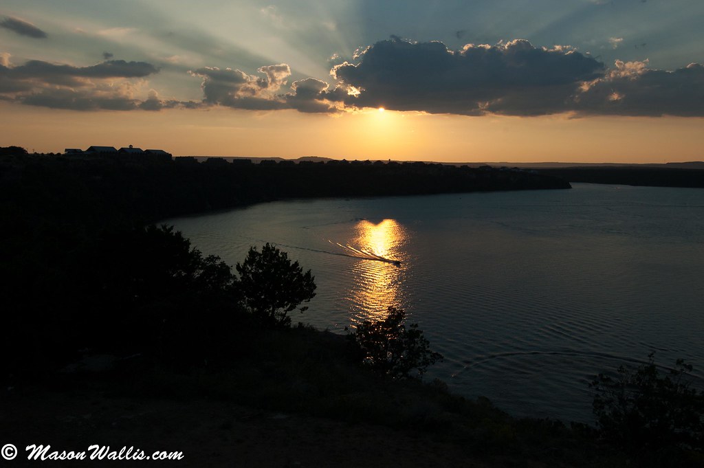
Sunset 2.jpg
DSC_0349.jpg

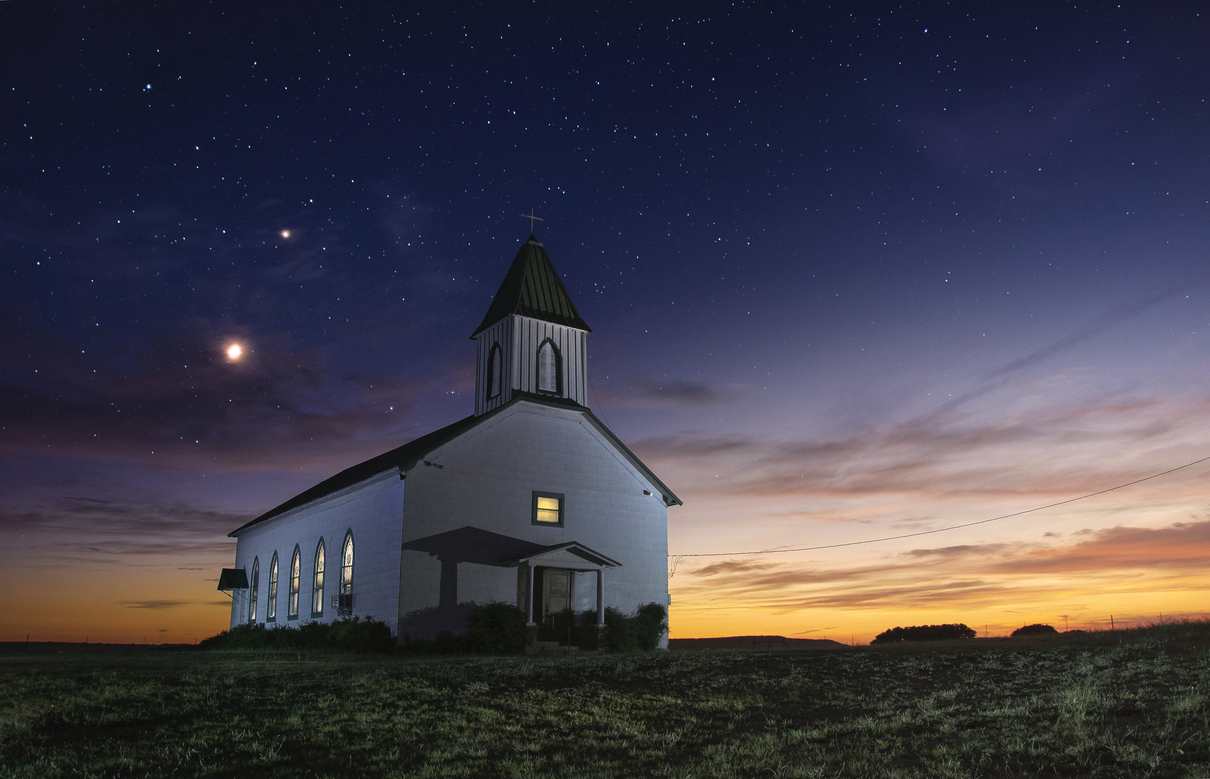
St. Boniface at Sunset I
St. Boniface at Sunset II

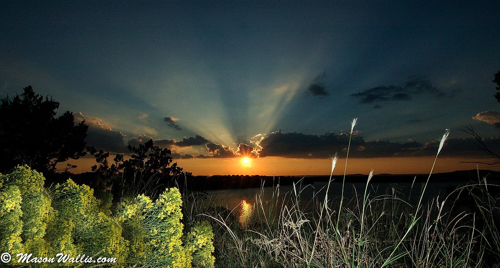
Brazos Valley Sunrise

grassy foreground
20070519-0645--web
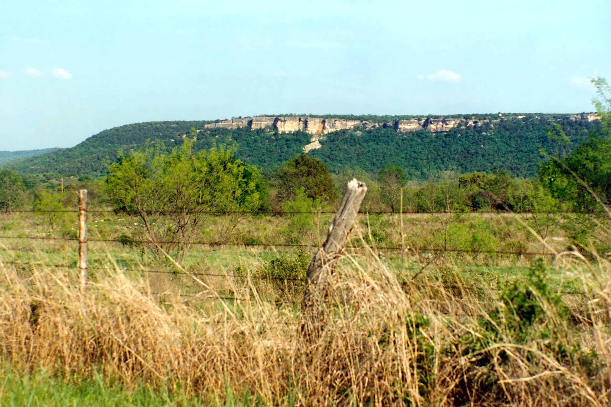
View of Bluffs, Metcalf Gap, Palo Pinto County
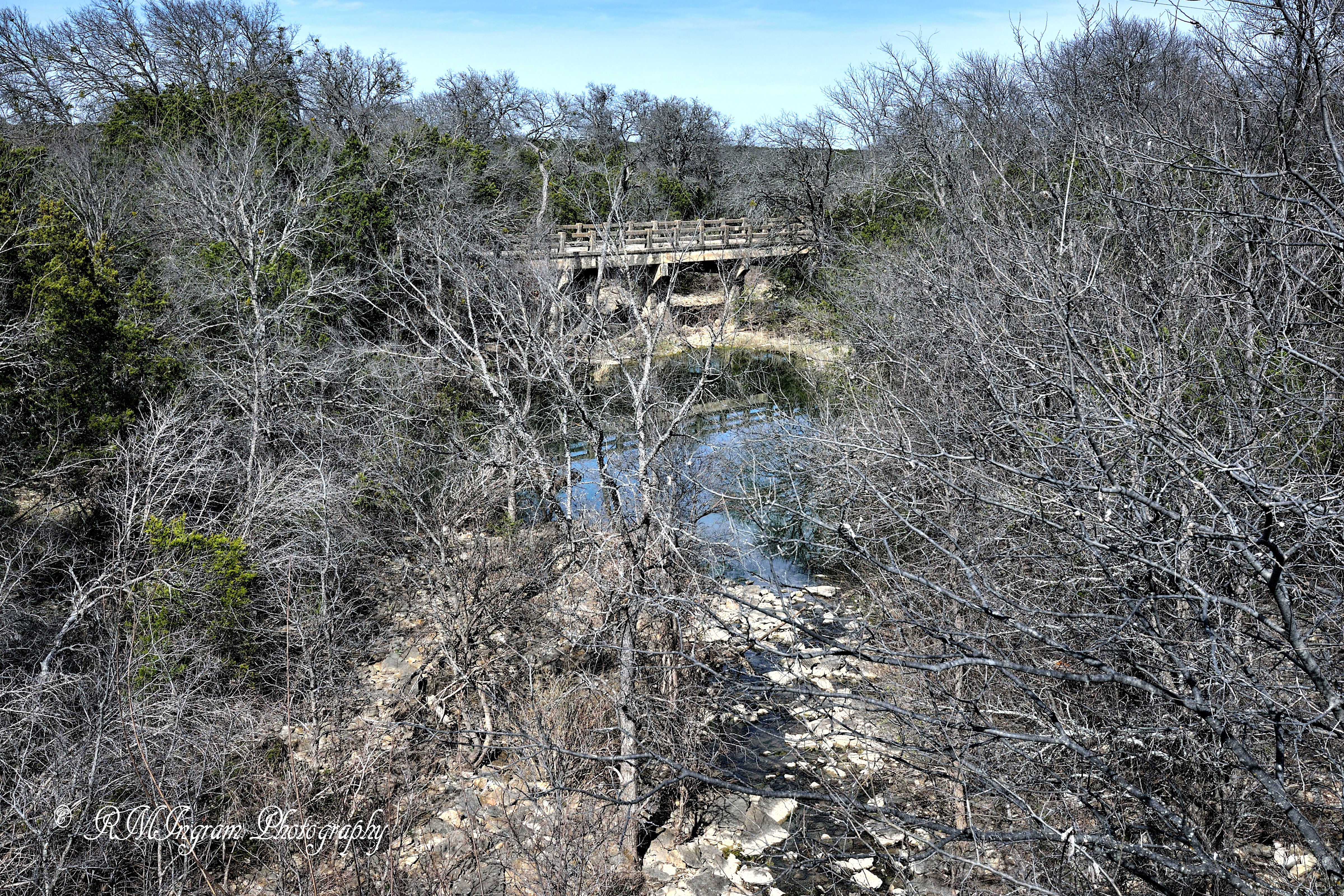
The Road Less Traveled
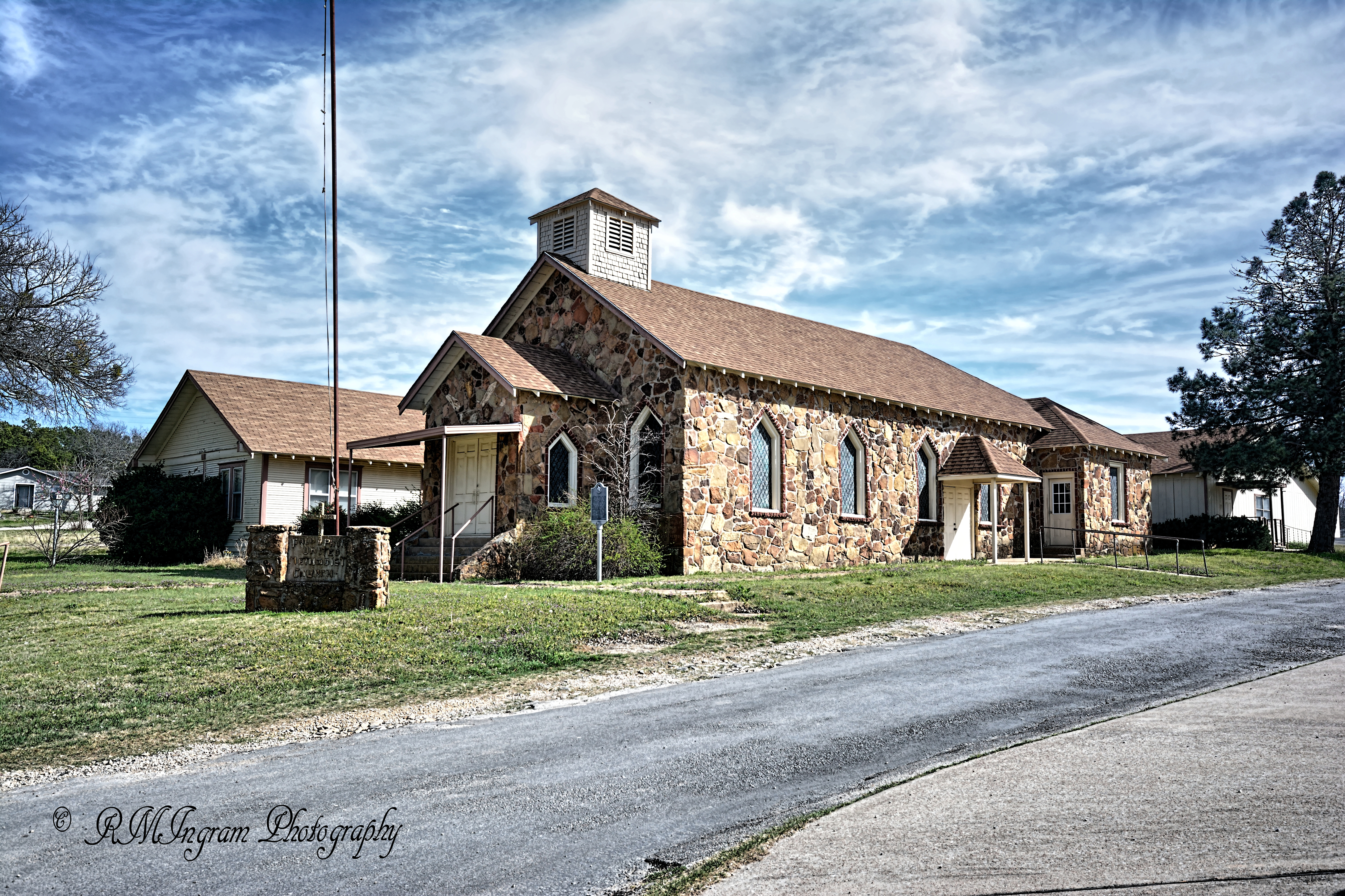
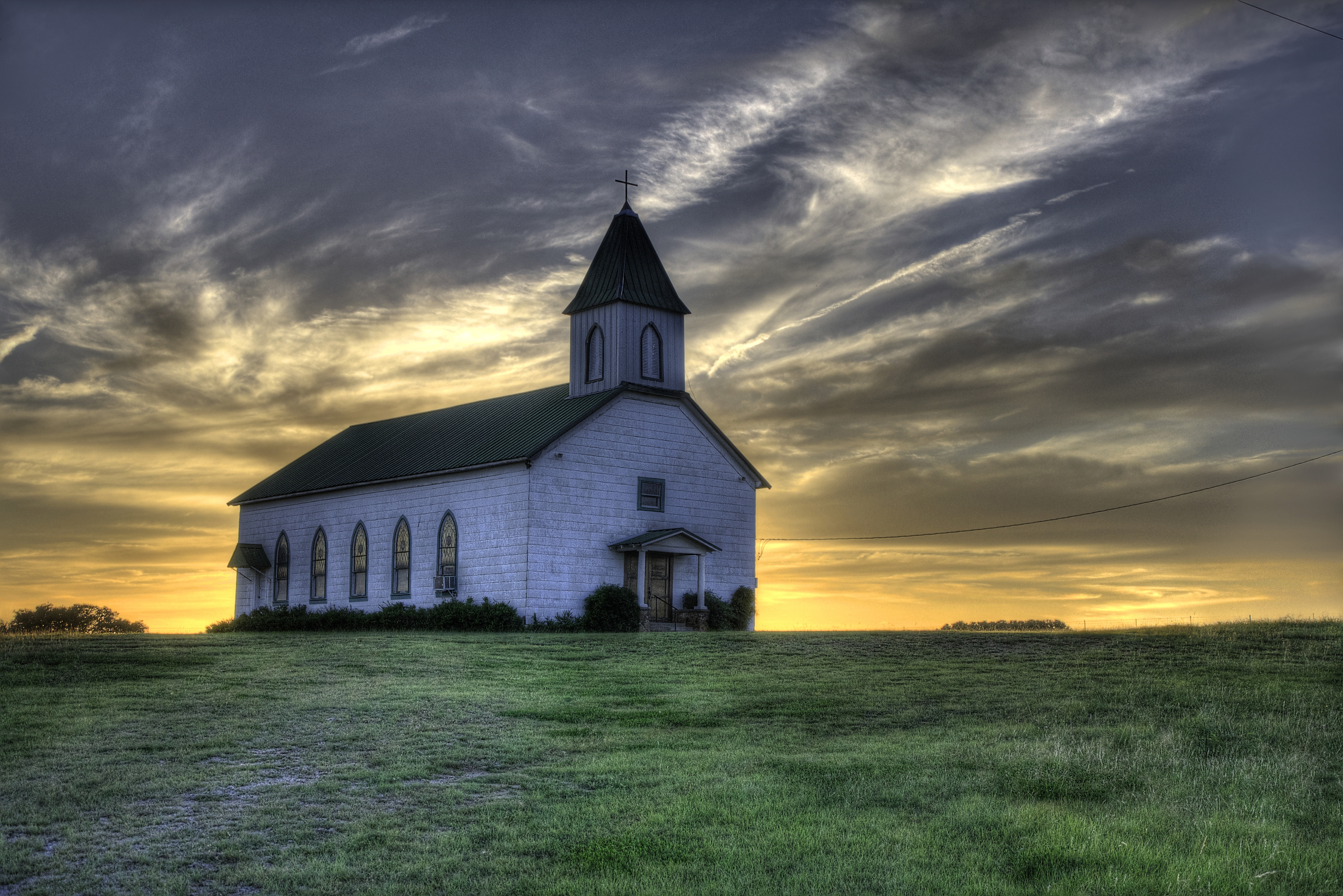
United Methodist Church
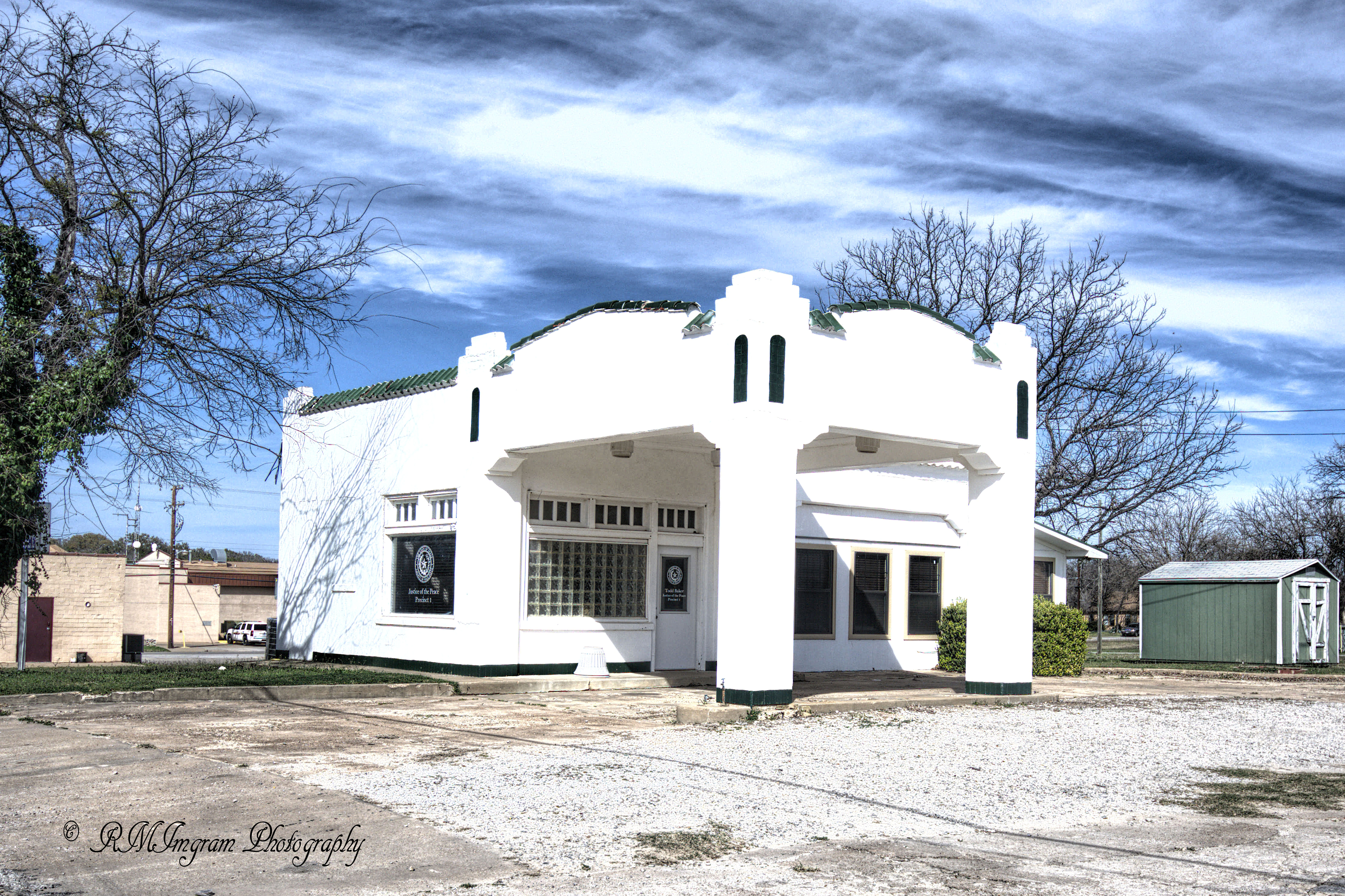
Old Filling Station
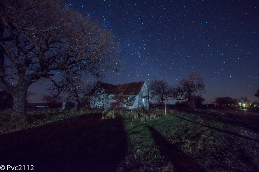
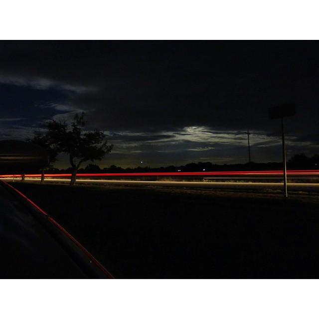
Palo Pinto night sky
Eternal Church

Shallow Pointe - Punto Llano

Spooky Twig - Rama Tenebrosa
Time to stretch our legs

Munching apples
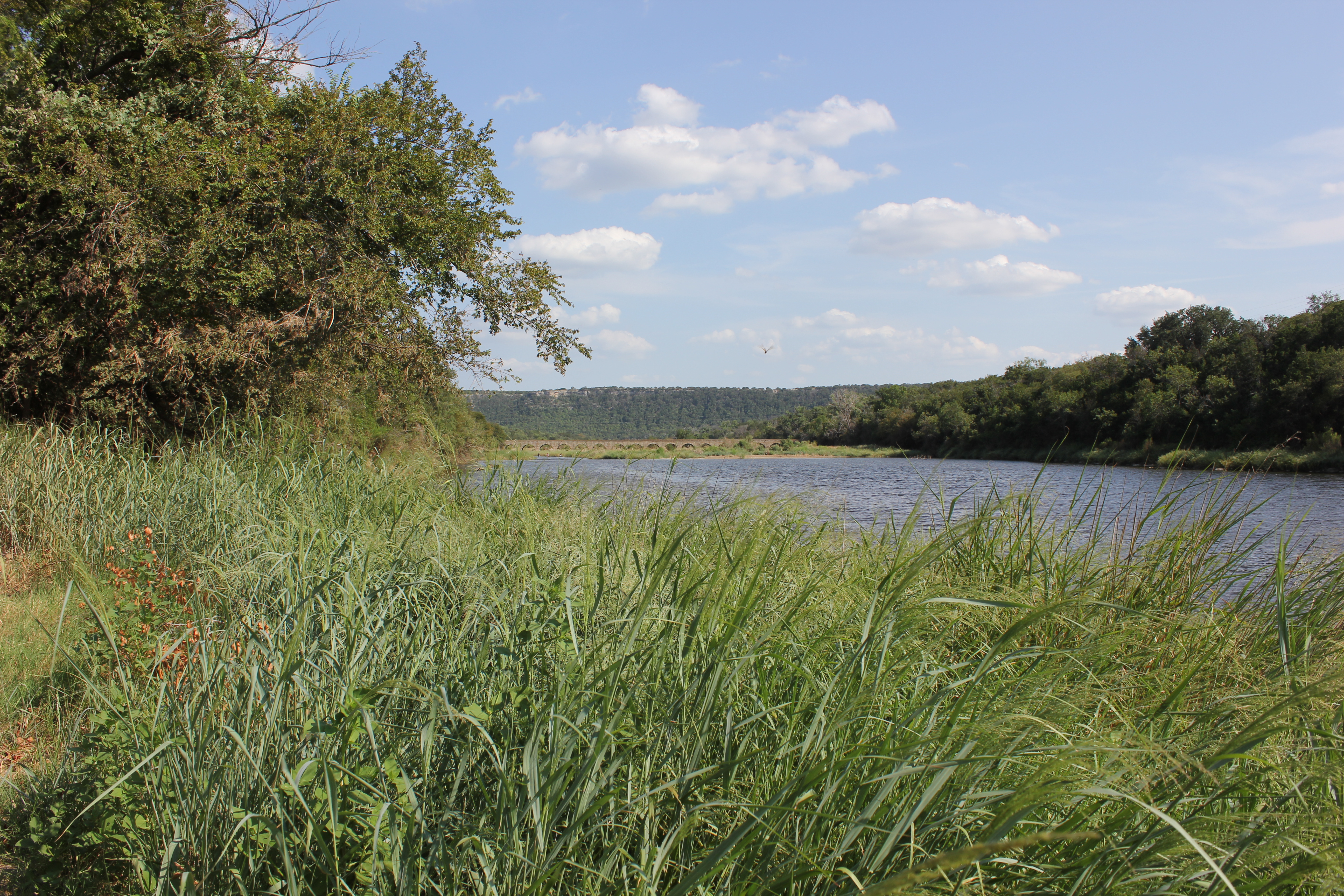
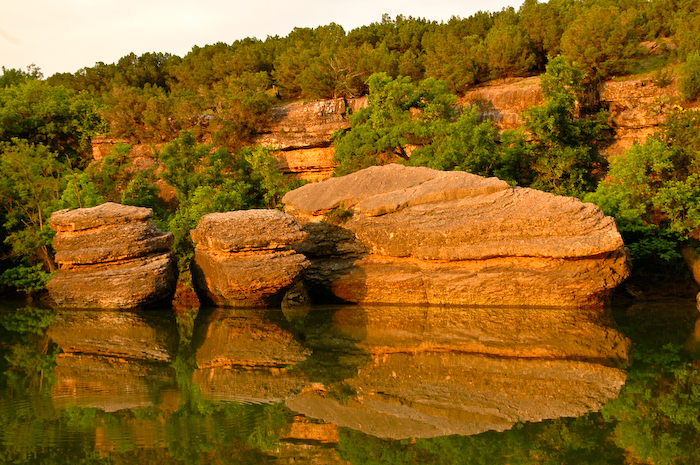
Brazos River
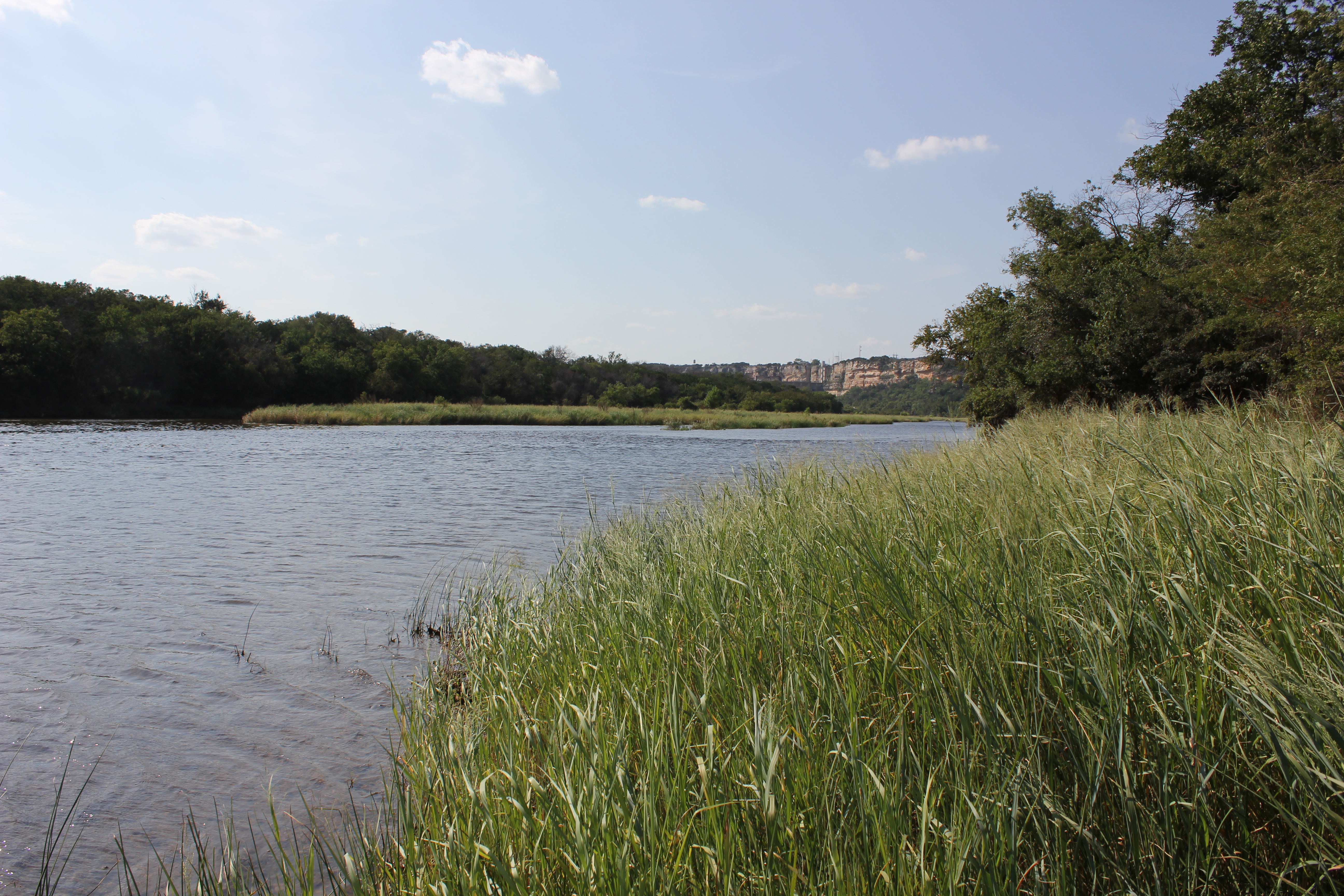
Brazos River
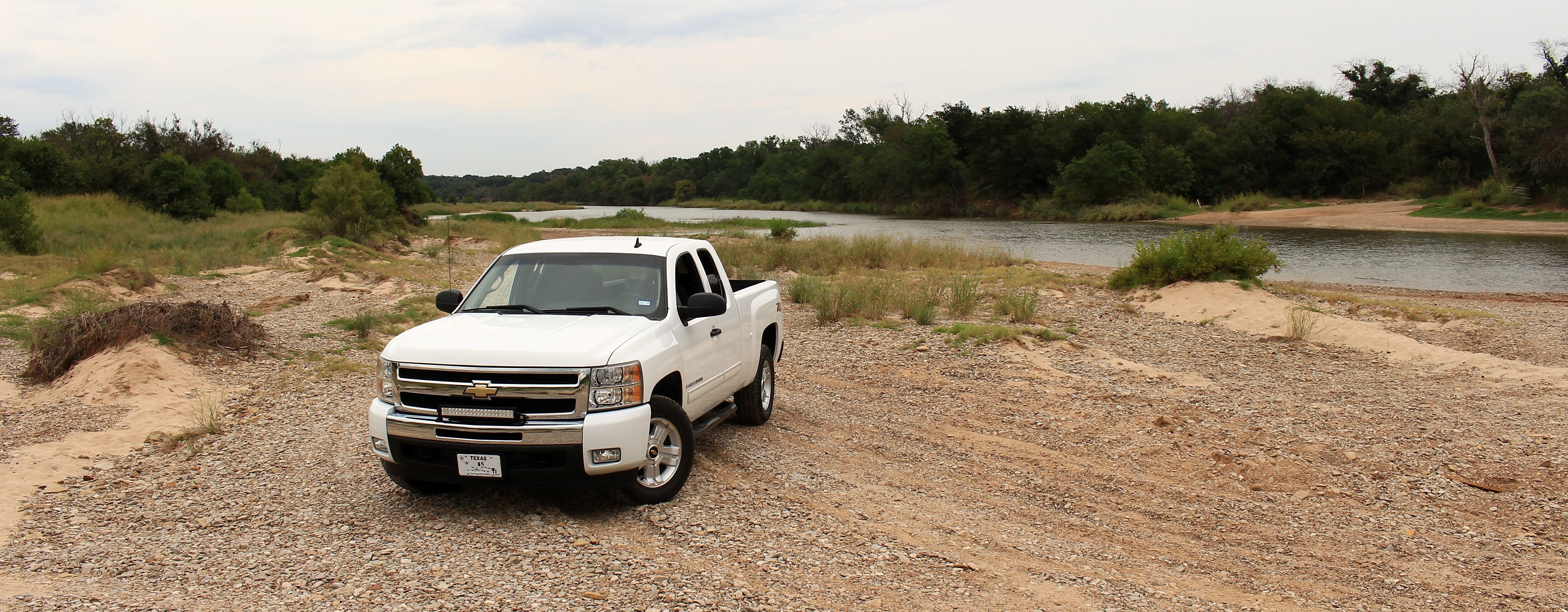
Another day at the Brazos River
Brazos River
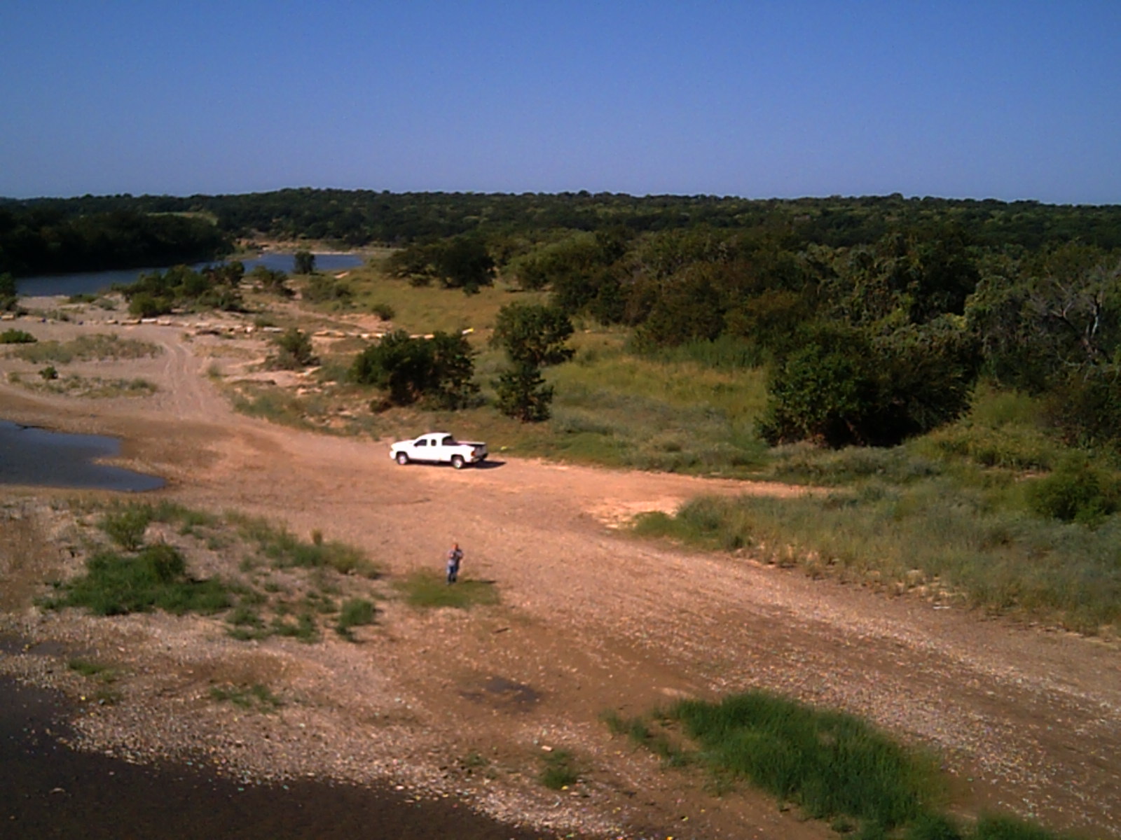
Brazos River
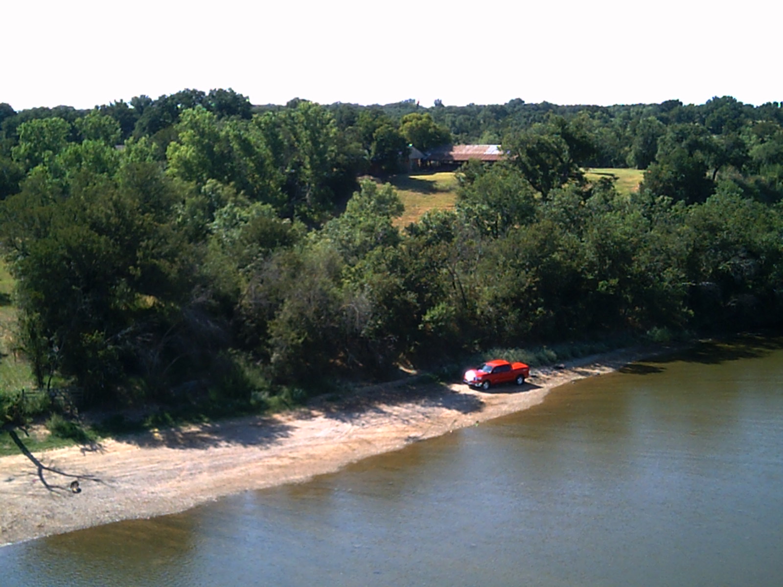
Brazos River

Brazos River

Playing in the Brazos River

Playing in the Brazos River
.
Palo Pinto County, Texas, USA Karte
Suchen Sie einen anderen Ort
Orte in Palo Pinto County, Texas, USA
Mineral Wells, TX, USA
Santo, TX, USA
Gordon, Texas, USA
Graford, TX, USA
Mingus, TX, USA
Palo Pinto, TX, USA
Strawn, TX, USA
Nahe Plätze
Palo Pinto, TX, USA
Santo, TX, USA
FM 4, Santo, TX, USA
Unnamed Road, Gordon, TX, USA
Graford, TX, USA
E Powell Ave, Graford, TX, USA
Inspiration Point Rd, Mineral Wells, TX, USA
Mineral Wells, TX, USA
Mineral Wells, TX, USA
D SE 1st St, Mineral Wells, TX, USA
E Cedar St, Gordon, TX, USA
Gordon, Texas, USA
Withers Rd, Mineral Wells, TX, USA
TX-, Gordon, TX, USA
E Hubbard St, Mineral Wells, TX, USA
SE 23rd Ave, Mineral Wells, TX, USA
Rock Creek Camp LP, Rock Creek Rd, Graford, TX, USA
Mingus, TX, USA
Giles Ln, Santo, TX, USA
River View Rd, Millsap, TX, USA
Letzte Suche
- Red Dog Mine, AK, USA Sonnenaufgang Sonnenuntergang Zeiten
- Am Bahnhof, Am bhf, Borken, Germany Sonnenaufgang Sonnenuntergang Zeiten
- 4th St E, Sonoma, CA, USA Sonnenaufgang Sonnenuntergang Zeiten
- Oakland Ave, Williamsport, PA, USA Sonnenaufgang Sonnenuntergang Zeiten
- Via Roma, Pieranica CR, Italien Sonnenaufgang Sonnenuntergang Zeiten
- Glockenturm, Grad, Dubrovnik, Kroatien Sonnenaufgang Sonnenuntergang Zeiten
- Trelew, Chubut Province, Argentina Sonnenaufgang Sonnenuntergang Zeiten
- Hartfords Bluff Cir, Mt Pleasant, SC, USA Sonnenaufgang Sonnenuntergang Zeiten
- Kita-ku, Kumamoto, Präfektur Kumamoto, Japan Sonnenaufgang Sonnenuntergang Zeiten
- Pingtan Island, Pingtan County, Fuzhou, China Sonnenaufgang Sonnenuntergang Zeiten