Northeastern Manitoulin and the Islands, ON, Kanada Sonnenaufgang Sonnenuntergang Zeiten
Location: Kanada > Ontario > Manitoulin District > Central Manitoulin >
Zeitzone:
America/Toronto
Ortszeit:
2025-07-05 21:06:52
Länge:
-81.7948558
Breite:
45.9374061
Sonnenaufgang Heute:
05:44:23 AM
Sonnenuntergang Heute:
09:19:46 PM
Tageslänge heute:
15h 35m 23s
Sonnenaufgang morgen:
05:45:09 AM
Sonnenuntergang Morgen:
09:19:20 PM
Tageslänge von morgen:
15h 34m 11s
Alle Termine anzeigen
| Datum | Sonnenaufgang | Sonnenuntergang | Tageslänge |
|---|---|---|---|
| 2025-01-01 | 08:08:45 AM | 04:53:50 PM | 8h 45m 5s |
| 2025-01-02 | 08:08:42 AM | 04:54:49 PM | 8h 46m 7s |
| 2025-01-03 | 08:08:36 AM | 04:55:49 PM | 8h 47m 13s |
| 2025-01-04 | 08:08:27 AM | 04:56:52 PM | 8h 48m 25s |
| 2025-01-05 | 08:08:16 AM | 04:57:56 PM | 8h 49m 40s |
| 2025-01-06 | 08:08:01 AM | 04:59:02 PM | 8h 51m 1s |
| 2025-01-07 | 08:07:45 AM | 05:00:09 PM | 8h 52m 24s |
| 2025-01-08 | 08:07:25 AM | 05:01:18 PM | 8h 53m 53s |
| 2025-01-09 | 08:07:03 AM | 05:02:29 PM | 8h 55m 26s |
| 2025-01-10 | 08:06:39 AM | 05:03:41 PM | 8h 57m 2s |
| 2025-01-11 | 08:06:11 AM | 05:04:55 PM | 8h 58m 44s |
| 2025-01-12 | 08:05:42 AM | 05:06:09 PM | 9h 0m 27s |
| 2025-01-13 | 08:05:09 AM | 05:07:25 PM | 9h 2m 16s |
| 2025-01-14 | 08:04:34 AM | 05:08:43 PM | 9h 4m 9s |
| 2025-01-15 | 08:03:57 AM | 05:10:01 PM | 9h 6m 4s |
| 2025-01-16 | 08:03:17 AM | 05:11:21 PM | 9h 8m 4s |
| 2025-01-17 | 08:02:35 AM | 05:12:41 PM | 9h 10m 6s |
| 2025-01-18 | 08:01:50 AM | 05:14:03 PM | 9h 12m 13s |
| 2025-01-19 | 08:01:03 AM | 05:15:25 PM | 9h 14m 22s |
| 2025-01-20 | 08:00:14 AM | 05:16:48 PM | 9h 16m 34s |
| 2025-01-21 | 07:59:23 AM | 05:18:12 PM | 9h 18m 49s |
| 2025-01-22 | 07:58:29 AM | 05:19:36 PM | 9h 21m 7s |
| 2025-01-23 | 07:57:33 AM | 05:21:02 PM | 9h 23m 29s |
| 2025-01-24 | 07:56:35 AM | 05:22:27 PM | 9h 25m 52s |
| 2025-01-25 | 07:55:34 AM | 05:23:54 PM | 9h 28m 20s |
| 2025-01-26 | 07:54:32 AM | 05:25:20 PM | 9h 30m 48s |
| 2025-01-27 | 07:53:28 AM | 05:26:48 PM | 9h 33m 20s |
| 2025-01-28 | 07:52:21 AM | 05:28:15 PM | 9h 35m 54s |
| 2025-01-29 | 07:51:13 AM | 05:29:43 PM | 9h 38m 30s |
| 2025-01-30 | 07:50:03 AM | 05:31:11 PM | 9h 41m 8s |
| 2025-01-31 | 07:48:50 AM | 05:32:40 PM | 9h 43m 50s |
| 2025-02-01 | 07:47:36 AM | 05:34:08 PM | 9h 46m 32s |
| 2025-02-02 | 07:46:21 AM | 05:35:37 PM | 9h 49m 16s |
| 2025-02-03 | 07:45:03 AM | 05:37:06 PM | 9h 52m 3s |
| 2025-02-04 | 07:43:44 AM | 05:38:35 PM | 9h 54m 51s |
| 2025-02-05 | 07:42:23 AM | 05:40:04 PM | 9h 57m 41s |
| 2025-02-06 | 07:41:00 AM | 05:41:33 PM | 10h 0m 33s |
| 2025-02-07 | 07:39:36 AM | 05:43:02 PM | 10h 3m 26s |
| 2025-02-08 | 07:38:11 AM | 05:44:31 PM | 10h 6m 20s |
| 2025-02-09 | 07:36:44 AM | 05:46:00 PM | 10h 9m 16s |
| 2025-02-10 | 07:35:15 AM | 05:47:29 PM | 10h 12m 14s |
| 2025-02-11 | 07:33:45 AM | 05:48:58 PM | 10h 15m 13s |
| 2025-02-12 | 07:32:14 AM | 05:50:26 PM | 10h 18m 12s |
| 2025-02-13 | 07:30:41 AM | 05:51:55 PM | 10h 21m 14s |
| 2025-02-14 | 07:29:07 AM | 05:53:23 PM | 10h 24m 16s |
| 2025-02-15 | 07:27:32 AM | 05:54:51 PM | 10h 27m 19s |
| 2025-02-16 | 07:25:56 AM | 05:56:19 PM | 10h 30m 23s |
| 2025-02-17 | 07:24:18 AM | 05:57:47 PM | 10h 33m 29s |
| 2025-02-18 | 07:22:40 AM | 05:59:14 PM | 10h 36m 34s |
| 2025-02-19 | 07:21:00 AM | 06:00:41 PM | 10h 39m 41s |
| 2025-02-20 | 07:19:19 AM | 06:02:08 PM | 10h 42m 49s |
| 2025-02-21 | 07:17:37 AM | 06:03:35 PM | 10h 45m 58s |
| 2025-02-22 | 07:15:55 AM | 06:05:01 PM | 10h 49m 6s |
| 2025-02-23 | 07:14:11 AM | 06:06:27 PM | 10h 52m 16s |
| 2025-02-24 | 07:12:26 AM | 06:07:53 PM | 10h 55m 27s |
| 2025-02-25 | 07:10:41 AM | 06:09:19 PM | 10h 58m 38s |
| 2025-02-26 | 07:08:55 AM | 06:10:44 PM | 11h 1m 49s |
| 2025-02-27 | 07:07:08 AM | 06:12:09 PM | 11h 5m 1s |
| 2025-02-28 | 07:05:20 AM | 06:13:34 PM | 11h 8m 14s |
| 2025-03-01 | 07:03:31 AM | 06:14:58 PM | 11h 11m 27s |
| 2025-03-02 | 07:01:42 AM | 06:16:22 PM | 11h 14m 40s |
| 2025-03-03 | 06:59:52 AM | 06:17:46 PM | 11h 17m 54s |
| 2025-03-04 | 06:58:02 AM | 06:19:10 PM | 11h 21m 8s |
| 2025-03-05 | 06:56:11 AM | 06:20:33 PM | 11h 24m 22s |
| 2025-03-06 | 06:54:19 AM | 06:21:56 PM | 11h 27m 37s |
| 2025-03-07 | 06:52:27 AM | 06:23:19 PM | 11h 30m 52s |
| 2025-03-08 | 06:50:34 AM | 06:24:41 PM | 11h 34m 7s |
| 2025-03-09 | 07:48:46 AM | 07:26:00 PM | 11h 37m 14s |
| 2025-03-10 | 07:46:53 AM | 07:27:22 PM | 11h 40m 29s |
| 2025-03-11 | 07:44:59 AM | 07:28:44 PM | 11h 43m 45s |
| 2025-03-12 | 07:43:05 AM | 07:30:06 PM | 11h 47m 1s |
| 2025-03-13 | 07:41:10 AM | 07:31:27 PM | 11h 50m 17s |
| 2025-03-14 | 07:39:15 AM | 07:32:49 PM | 11h 53m 34s |
| 2025-03-15 | 07:37:20 AM | 07:34:10 PM | 11h 56m 50s |
| 2025-03-16 | 07:35:25 AM | 07:35:30 PM | 12h 0m 5s |
| 2025-03-17 | 07:33:30 AM | 07:36:51 PM | 12h 3m 21s |
| 2025-03-18 | 07:31:34 AM | 07:38:12 PM | 12h 6m 38s |
| 2025-03-19 | 07:29:39 AM | 07:39:32 PM | 12h 9m 53s |
| 2025-03-20 | 07:27:43 AM | 07:40:52 PM | 12h 13m 9s |
| 2025-03-21 | 07:25:47 AM | 07:42:12 PM | 12h 16m 25s |
| 2025-03-22 | 07:23:51 AM | 07:43:32 PM | 12h 19m 41s |
| 2025-03-23 | 07:21:55 AM | 07:44:52 PM | 12h 22m 57s |
| 2025-03-24 | 07:19:59 AM | 07:46:12 PM | 12h 26m 13s |
| 2025-03-25 | 07:18:03 AM | 07:47:31 PM | 12h 29m 28s |
| 2025-03-26 | 07:16:08 AM | 07:48:51 PM | 12h 32m 43s |
| 2025-03-27 | 07:14:12 AM | 07:50:10 PM | 12h 35m 58s |
| 2025-03-28 | 07:12:17 AM | 07:51:29 PM | 12h 39m 12s |
| 2025-03-29 | 07:10:21 AM | 07:52:49 PM | 12h 42m 28s |
| 2025-03-30 | 07:08:26 AM | 07:54:08 PM | 12h 45m 42s |
| 2025-03-31 | 07:06:32 AM | 07:55:27 PM | 12h 48m 55s |
| 2025-04-01 | 07:04:37 AM | 07:56:46 PM | 12h 52m 9s |
| 2025-04-02 | 07:02:43 AM | 07:58:05 PM | 12h 55m 22s |
| 2025-04-03 | 07:00:49 AM | 07:59:24 PM | 12h 58m 35s |
| 2025-04-04 | 06:58:56 AM | 08:00:43 PM | 13h 1m 47s |
| 2025-04-05 | 06:57:02 AM | 08:02:02 PM | 13h 5m 0s |
| 2025-04-06 | 06:55:10 AM | 08:03:21 PM | 13h 8m 11s |
| 2025-04-07 | 06:53:18 AM | 08:04:40 PM | 13h 11m 22s |
| 2025-04-08 | 06:51:26 AM | 08:05:59 PM | 13h 14m 33s |
| 2025-04-09 | 06:49:35 AM | 08:07:18 PM | 13h 17m 43s |
| 2025-04-10 | 06:47:44 AM | 08:08:37 PM | 13h 20m 53s |
| 2025-04-11 | 06:45:54 AM | 08:09:56 PM | 13h 24m 2s |
| 2025-04-12 | 06:44:05 AM | 08:11:15 PM | 13h 27m 10s |
| 2025-04-13 | 06:42:16 AM | 08:12:34 PM | 13h 30m 18s |
| 2025-04-14 | 06:40:28 AM | 08:13:53 PM | 13h 33m 25s |
| 2025-04-15 | 06:38:41 AM | 08:15:12 PM | 13h 36m 31s |
| 2025-04-16 | 06:36:54 AM | 08:16:31 PM | 13h 39m 37s |
| 2025-04-17 | 06:35:09 AM | 08:17:49 PM | 13h 42m 40s |
| 2025-04-18 | 06:33:24 AM | 08:19:08 PM | 13h 45m 44s |
| 2025-04-19 | 06:31:40 AM | 08:20:27 PM | 13h 48m 47s |
| 2025-04-20 | 06:29:56 AM | 08:21:46 PM | 13h 51m 50s |
| 2025-04-21 | 06:28:14 AM | 08:23:05 PM | 13h 54m 51s |
| 2025-04-22 | 06:26:33 AM | 08:24:23 PM | 13h 57m 50s |
| 2025-04-23 | 06:24:53 AM | 08:25:42 PM | 14h 0m 49s |
| 2025-04-24 | 06:23:14 AM | 08:27:00 PM | 14h 3m 46s |
| 2025-04-25 | 06:21:36 AM | 08:28:19 PM | 14h 6m 43s |
| 2025-04-26 | 06:19:59 AM | 08:29:37 PM | 14h 9m 38s |
| 2025-04-27 | 06:18:23 AM | 08:30:55 PM | 14h 12m 32s |
| 2025-04-28 | 06:16:48 AM | 08:32:13 PM | 14h 15m 25s |
| 2025-04-29 | 06:15:15 AM | 08:33:31 PM | 14h 18m 16s |
| 2025-04-30 | 06:13:43 AM | 08:34:48 PM | 14h 21m 5s |
| 2025-05-01 | 06:12:12 AM | 08:36:06 PM | 14h 23m 54s |
| 2025-05-02 | 06:10:43 AM | 08:37:23 PM | 14h 26m 40s |
| 2025-05-03 | 06:09:15 AM | 08:38:39 PM | 14h 29m 24s |
| 2025-05-04 | 06:07:48 AM | 08:39:56 PM | 14h 32m 8s |
| 2025-05-05 | 06:06:23 AM | 08:41:12 PM | 14h 34m 49s |
| 2025-05-06 | 06:04:59 AM | 08:42:28 PM | 14h 37m 29s |
| 2025-05-07 | 06:03:37 AM | 08:43:43 PM | 14h 40m 6s |
| 2025-05-08 | 06:02:16 AM | 08:44:58 PM | 14h 42m 42s |
| 2025-05-09 | 06:00:57 AM | 08:46:13 PM | 14h 45m 16s |
| 2025-05-10 | 05:59:40 AM | 08:47:27 PM | 14h 47m 47s |
| 2025-05-11 | 05:58:24 AM | 08:48:40 PM | 14h 50m 16s |
| 2025-05-12 | 05:57:10 AM | 08:49:53 PM | 14h 52m 43s |
| 2025-05-13 | 05:55:58 AM | 08:51:06 PM | 14h 55m 8s |
| 2025-05-14 | 05:54:47 AM | 08:52:17 PM | 14h 57m 30s |
| 2025-05-15 | 05:53:39 AM | 08:53:28 PM | 14h 59m 49s |
| 2025-05-16 | 05:52:32 AM | 08:54:39 PM | 15h 2m 7s |
| 2025-05-17 | 05:51:27 AM | 08:55:48 PM | 15h 4m 21s |
| 2025-05-18 | 05:50:24 AM | 08:56:57 PM | 15h 6m 33s |
| 2025-05-19 | 05:49:23 AM | 08:58:04 PM | 15h 8m 41s |
| 2025-05-20 | 05:48:24 AM | 08:59:11 PM | 15h 10m 47s |
| 2025-05-21 | 05:47:27 AM | 09:00:17 PM | 15h 12m 50s |
| 2025-05-22 | 05:46:32 AM | 09:01:22 PM | 15h 14m 50s |
| 2025-05-23 | 05:45:40 AM | 09:02:25 PM | 15h 16m 45s |
| 2025-05-24 | 05:44:49 AM | 09:03:28 PM | 15h 18m 39s |
| 2025-05-25 | 05:44:01 AM | 09:04:29 PM | 15h 20m 28s |
| 2025-05-26 | 05:43:14 AM | 09:05:30 PM | 15h 22m 16s |
| 2025-05-27 | 05:42:30 AM | 09:06:29 PM | 15h 23m 59s |
| 2025-05-28 | 05:41:48 AM | 09:07:26 PM | 15h 25m 38s |
| 2025-05-29 | 05:41:09 AM | 09:08:22 PM | 15h 27m 13s |
| 2025-05-30 | 05:40:32 AM | 09:09:17 PM | 15h 28m 45s |
| 2025-05-31 | 05:39:57 AM | 09:10:10 PM | 15h 30m 13s |
| 2025-06-01 | 05:39:24 AM | 09:11:02 PM | 15h 31m 38s |
| 2025-06-02 | 05:38:54 AM | 09:11:52 PM | 15h 32m 58s |
| 2025-06-03 | 05:38:26 AM | 09:12:40 PM | 15h 34m 14s |
| 2025-06-04 | 05:38:00 AM | 09:13:27 PM | 15h 35m 27s |
| 2025-06-05 | 05:37:37 AM | 09:14:12 PM | 15h 36m 35s |
| 2025-06-06 | 05:37:16 AM | 09:14:55 PM | 15h 37m 39s |
| 2025-06-07 | 05:36:58 AM | 09:15:36 PM | 15h 38m 38s |
| 2025-06-08 | 05:36:42 AM | 09:16:16 PM | 15h 39m 34s |
| 2025-06-09 | 05:36:28 AM | 09:16:53 PM | 15h 40m 25s |
| 2025-06-10 | 05:36:17 AM | 09:17:29 PM | 15h 41m 12s |
| 2025-06-11 | 05:36:08 AM | 09:18:02 PM | 15h 41m 54s |
| 2025-06-12 | 05:36:02 AM | 09:18:34 PM | 15h 42m 32s |
| 2025-06-13 | 05:35:58 AM | 09:19:03 PM | 15h 43m 5s |
| 2025-06-14 | 05:35:57 AM | 09:19:30 PM | 15h 43m 33s |
| 2025-06-15 | 05:35:58 AM | 09:19:55 PM | 15h 43m 57s |
| 2025-06-16 | 05:36:01 AM | 09:20:18 PM | 15h 44m 17s |
| 2025-06-17 | 05:36:06 AM | 09:20:38 PM | 15h 44m 32s |
| 2025-06-18 | 05:36:14 AM | 09:20:56 PM | 15h 44m 42s |
| 2025-06-19 | 05:36:25 AM | 09:21:12 PM | 15h 44m 47s |
| 2025-06-20 | 05:36:37 AM | 09:21:26 PM | 15h 44m 49s |
| 2025-06-21 | 05:36:52 AM | 09:21:37 PM | 15h 44m 45s |
| 2025-06-22 | 05:37:09 AM | 09:21:46 PM | 15h 44m 37s |
| 2025-06-23 | 05:37:29 AM | 09:21:52 PM | 15h 44m 23s |
| 2025-06-24 | 05:37:50 AM | 09:21:56 PM | 15h 44m 6s |
| 2025-06-25 | 05:38:14 AM | 09:21:58 PM | 15h 43m 44s |
| 2025-06-26 | 05:38:40 AM | 09:21:57 PM | 15h 43m 17s |
| 2025-06-27 | 05:39:08 AM | 09:21:54 PM | 15h 42m 46s |
| 2025-06-28 | 05:39:38 AM | 09:21:48 PM | 15h 42m 10s |
| 2025-06-29 | 05:40:10 AM | 09:21:40 PM | 15h 41m 30s |
| 2025-06-30 | 05:40:44 AM | 09:21:29 PM | 15h 40m 45s |
| 2025-07-01 | 05:41:19 AM | 09:21:16 PM | 15h 39m 57s |
| 2025-07-02 | 05:41:57 AM | 09:21:00 PM | 15h 39m 3s |
| 2025-07-03 | 05:42:37 AM | 09:20:42 PM | 15h 38m 5s |
| 2025-07-04 | 05:43:18 AM | 09:20:22 PM | 15h 37m 4s |
| 2025-07-05 | 05:44:01 AM | 09:19:59 PM | 15h 35m 58s |
| 2025-07-06 | 05:44:46 AM | 09:19:33 PM | 15h 34m 47s |
| 2025-07-07 | 05:45:33 AM | 09:19:06 PM | 15h 33m 33s |
| 2025-07-08 | 05:46:21 AM | 09:18:35 PM | 15h 32m 14s |
| 2025-07-09 | 05:47:10 AM | 09:18:03 PM | 15h 30m 53s |
| 2025-07-10 | 05:48:01 AM | 09:17:28 PM | 15h 29m 27s |
| 2025-07-11 | 05:48:54 AM | 09:16:51 PM | 15h 27m 57s |
| 2025-07-12 | 05:49:48 AM | 09:16:11 PM | 15h 26m 23s |
| 2025-07-13 | 05:50:43 AM | 09:15:29 PM | 15h 24m 46s |
| 2025-07-14 | 05:51:39 AM | 09:14:45 PM | 15h 23m 6s |
| 2025-07-15 | 05:52:37 AM | 09:13:59 PM | 15h 21m 22s |
| 2025-07-16 | 05:53:36 AM | 09:13:10 PM | 15h 19m 34s |
| 2025-07-17 | 05:54:36 AM | 09:12:19 PM | 15h 17m 43s |
| 2025-07-18 | 05:55:37 AM | 09:11:26 PM | 15h 15m 49s |
| 2025-07-19 | 05:56:39 AM | 09:10:31 PM | 15h 13m 52s |
| 2025-07-20 | 05:57:42 AM | 09:09:34 PM | 15h 11m 52s |
| 2025-07-21 | 05:58:46 AM | 09:08:35 PM | 15h 9m 49s |
| 2025-07-22 | 05:59:51 AM | 09:07:34 PM | 15h 7m 43s |
| 2025-07-23 | 06:00:56 AM | 09:06:30 PM | 15h 5m 34s |
| 2025-07-24 | 06:02:03 AM | 09:05:25 PM | 15h 3m 22s |
| 2025-07-25 | 06:03:10 AM | 09:04:18 PM | 15h 1m 8s |
| 2025-07-26 | 06:04:18 AM | 09:03:09 PM | 14h 58m 51s |
| 2025-07-27 | 06:05:26 AM | 09:01:58 PM | 14h 56m 32s |
| 2025-07-28 | 06:06:35 AM | 09:00:45 PM | 14h 54m 10s |
| 2025-07-29 | 06:07:45 AM | 08:59:31 PM | 14h 51m 46s |
| 2025-07-30 | 06:08:55 AM | 08:58:15 PM | 14h 49m 20s |
| 2025-07-31 | 06:10:06 AM | 08:56:57 PM | 14h 46m 51s |
| 2025-08-01 | 06:11:17 AM | 08:55:37 PM | 14h 44m 20s |
| 2025-08-02 | 06:12:29 AM | 08:54:16 PM | 14h 41m 47s |
| 2025-08-03 | 06:13:41 AM | 08:52:53 PM | 14h 39m 12s |
| 2025-08-04 | 06:14:53 AM | 08:51:29 PM | 14h 36m 36s |
| 2025-08-05 | 06:16:06 AM | 08:50:03 PM | 14h 33m 57s |
| 2025-08-06 | 06:17:18 AM | 08:48:36 PM | 14h 31m 18s |
| 2025-08-07 | 06:18:32 AM | 08:47:07 PM | 14h 28m 35s |
| 2025-08-08 | 06:19:45 AM | 08:45:37 PM | 14h 25m 52s |
| 2025-08-09 | 06:20:58 AM | 08:44:05 PM | 14h 23m 7s |
| 2025-08-10 | 06:22:12 AM | 08:42:32 PM | 14h 20m 20s |
| 2025-08-11 | 06:23:26 AM | 08:40:58 PM | 14h 17m 32s |
| 2025-08-12 | 06:24:40 AM | 08:39:23 PM | 14h 14m 43s |
| 2025-08-13 | 06:25:54 AM | 08:37:46 PM | 14h 11m 52s |
| 2025-08-14 | 06:27:09 AM | 08:36:08 PM | 14h 8m 59s |
| 2025-08-15 | 06:28:23 AM | 08:34:29 PM | 14h 6m 6s |
| 2025-08-16 | 06:29:37 AM | 08:32:49 PM | 14h 3m 12s |
| 2025-08-17 | 06:30:52 AM | 08:31:08 PM | 14h 0m 16s |
| 2025-08-18 | 06:32:06 AM | 08:29:26 PM | 13h 57m 20s |
| 2025-08-19 | 06:33:21 AM | 08:27:43 PM | 13h 54m 22s |
| 2025-08-20 | 06:34:36 AM | 08:25:59 PM | 13h 51m 23s |
| 2025-08-21 | 06:35:50 AM | 08:24:14 PM | 13h 48m 24s |
| 2025-08-22 | 06:37:05 AM | 08:22:28 PM | 13h 45m 23s |
| 2025-08-23 | 06:38:19 AM | 08:20:41 PM | 13h 42m 22s |
| 2025-08-24 | 06:39:34 AM | 08:18:54 PM | 13h 39m 20s |
| 2025-08-25 | 06:40:48 AM | 08:17:05 PM | 13h 36m 17s |
| 2025-08-26 | 06:42:03 AM | 08:15:16 PM | 13h 33m 13s |
| 2025-08-27 | 06:43:17 AM | 08:13:26 PM | 13h 30m 9s |
| 2025-08-28 | 06:44:32 AM | 08:11:36 PM | 13h 27m 4s |
| 2025-08-29 | 06:45:46 AM | 08:09:45 PM | 13h 23m 59s |
| 2025-08-30 | 06:47:01 AM | 08:07:53 PM | 13h 20m 52s |
| 2025-08-31 | 06:48:15 AM | 08:06:01 PM | 13h 17m 46s |
| 2025-09-01 | 06:49:30 AM | 08:04:08 PM | 13h 14m 38s |
| 2025-09-02 | 06:50:44 AM | 08:02:14 PM | 13h 11m 30s |
| 2025-09-03 | 06:51:58 AM | 08:00:20 PM | 13h 8m 22s |
| 2025-09-04 | 06:53:13 AM | 07:58:26 PM | 13h 5m 13s |
| 2025-09-05 | 06:54:27 AM | 07:56:31 PM | 13h 2m 4s |
| 2025-09-06 | 06:55:41 AM | 07:54:35 PM | 12h 58m 54s |
| 2025-09-07 | 06:56:56 AM | 07:52:40 PM | 12h 55m 44s |
| 2025-09-08 | 06:58:10 AM | 07:50:44 PM | 12h 52m 34s |
| 2025-09-09 | 06:59:24 AM | 07:48:47 PM | 12h 49m 23s |
| 2025-09-10 | 07:00:39 AM | 07:46:51 PM | 12h 46m 12s |
| 2025-09-11 | 07:01:53 AM | 07:44:54 PM | 12h 43m 1s |
| 2025-09-12 | 07:03:08 AM | 07:42:57 PM | 12h 39m 49s |
| 2025-09-13 | 07:04:22 AM | 07:41:00 PM | 12h 36m 38s |
| 2025-09-14 | 07:05:37 AM | 07:39:02 PM | 12h 33m 25s |
| 2025-09-15 | 07:06:52 AM | 07:37:05 PM | 12h 30m 13s |
| 2025-09-16 | 07:08:06 AM | 07:35:07 PM | 12h 27m 1s |
| 2025-09-17 | 07:09:21 AM | 07:33:09 PM | 12h 23m 48s |
| 2025-09-18 | 07:10:36 AM | 07:31:12 PM | 12h 20m 36s |
| 2025-09-19 | 07:11:51 AM | 07:29:14 PM | 12h 17m 23s |
| 2025-09-20 | 07:13:06 AM | 07:27:16 PM | 12h 14m 10s |
| 2025-09-21 | 07:14:21 AM | 07:25:19 PM | 12h 10m 58s |
| 2025-09-22 | 07:15:37 AM | 07:23:21 PM | 12h 7m 44s |
| 2025-09-23 | 07:16:52 AM | 07:21:23 PM | 12h 4m 31s |
| 2025-09-24 | 07:18:08 AM | 07:19:26 PM | 12h 1m 18s |
| 2025-09-25 | 07:19:24 AM | 07:17:29 PM | 11h 58m 5s |
| 2025-09-26 | 07:20:40 AM | 07:15:32 PM | 11h 54m 52s |
| 2025-09-27 | 07:21:56 AM | 07:13:35 PM | 11h 51m 39s |
| 2025-09-28 | 07:23:13 AM | 07:11:39 PM | 11h 48m 26s |
| 2025-09-29 | 07:24:30 AM | 07:09:43 PM | 11h 45m 13s |
| 2025-09-30 | 07:25:47 AM | 07:07:47 PM | 11h 42m 0s |
| 2025-10-01 | 07:27:04 AM | 07:05:51 PM | 11h 38m 47s |
| 2025-10-02 | 07:28:21 AM | 07:03:56 PM | 11h 35m 35s |
| 2025-10-03 | 07:29:39 AM | 07:02:02 PM | 11h 32m 23s |
| 2025-10-04 | 07:30:57 AM | 07:00:08 PM | 11h 29m 11s |
| 2025-10-05 | 07:32:15 AM | 06:58:14 PM | 11h 25m 59s |
| 2025-10-06 | 07:33:33 AM | 06:56:21 PM | 11h 22m 48s |
| 2025-10-07 | 07:34:52 AM | 06:54:28 PM | 11h 19m 36s |
| 2025-10-08 | 07:36:11 AM | 06:52:36 PM | 11h 16m 25s |
| 2025-10-09 | 07:37:30 AM | 06:50:45 PM | 11h 13m 15s |
| 2025-10-10 | 07:38:50 AM | 06:48:54 PM | 11h 10m 4s |
| 2025-10-11 | 07:40:10 AM | 06:47:04 PM | 11h 6m 54s |
| 2025-10-12 | 07:41:30 AM | 06:45:14 PM | 11h 3m 44s |
| 2025-10-13 | 07:42:51 AM | 06:43:26 PM | 11h 0m 35s |
| 2025-10-14 | 07:44:11 AM | 06:41:38 PM | 10h 57m 27s |
| 2025-10-15 | 07:45:33 AM | 06:39:51 PM | 10h 54m 18s |
| 2025-10-16 | 07:46:54 AM | 06:38:05 PM | 10h 51m 11s |
| 2025-10-17 | 07:48:16 AM | 06:36:20 PM | 10h 48m 4s |
| 2025-10-18 | 07:49:38 AM | 06:34:35 PM | 10h 44m 57s |
| 2025-10-19 | 07:51:00 AM | 06:32:52 PM | 10h 41m 52s |
| 2025-10-20 | 07:52:23 AM | 06:31:10 PM | 10h 38m 47s |
| 2025-10-21 | 07:53:46 AM | 06:29:28 PM | 10h 35m 42s |
| 2025-10-22 | 07:55:09 AM | 06:27:48 PM | 10h 32m 39s |
| 2025-10-23 | 07:56:32 AM | 06:26:09 PM | 10h 29m 37s |
| 2025-10-24 | 07:57:56 AM | 06:24:31 PM | 10h 26m 35s |
| 2025-10-25 | 07:59:20 AM | 06:22:55 PM | 10h 23m 35s |
| 2025-10-26 | 08:00:44 AM | 06:21:19 PM | 10h 20m 35s |
| 2025-10-27 | 08:02:09 AM | 06:19:45 PM | 10h 17m 36s |
| 2025-10-28 | 08:03:33 AM | 06:18:12 PM | 10h 14m 39s |
| 2025-10-29 | 08:04:58 AM | 06:16:41 PM | 10h 11m 43s |
| 2025-10-30 | 08:06:23 AM | 06:15:11 PM | 10h 8m 48s |
| 2025-10-31 | 08:07:48 AM | 06:13:42 PM | 10h 5m 54s |
| 2025-11-01 | 08:09:13 AM | 06:12:15 PM | 10h 3m 2s |
| 2025-11-02 | 07:10:42 AM | 05:10:46 PM | 10h 0m 4s |
| 2025-11-03 | 07:12:07 AM | 05:09:22 PM | 9h 57m 15s |
| 2025-11-04 | 07:13:33 AM | 05:07:59 PM | 9h 54m 26s |
| 2025-11-05 | 07:14:58 AM | 05:06:38 PM | 9h 51m 40s |
| 2025-11-06 | 07:16:23 AM | 05:05:19 PM | 9h 48m 56s |
| 2025-11-07 | 07:17:49 AM | 05:04:02 PM | 9h 46m 13s |
| 2025-11-08 | 07:19:14 AM | 05:02:47 PM | 9h 43m 33s |
| 2025-11-09 | 07:20:39 AM | 05:01:33 PM | 9h 40m 54s |
| 2025-11-10 | 07:22:04 AM | 05:00:21 PM | 9h 38m 17s |
| 2025-11-11 | 07:23:29 AM | 04:59:11 PM | 9h 35m 42s |
| 2025-11-12 | 07:24:53 AM | 04:58:03 PM | 9h 33m 10s |
| 2025-11-13 | 07:26:17 AM | 04:56:58 PM | 9h 30m 41s |
| 2025-11-14 | 07:27:41 AM | 04:55:54 PM | 9h 28m 13s |
| 2025-11-15 | 07:29:04 AM | 04:54:52 PM | 9h 25m 48s |
| 2025-11-16 | 07:30:27 AM | 04:53:52 PM | 9h 23m 25s |
| 2025-11-17 | 07:31:50 AM | 04:52:55 PM | 9h 21m 5s |
| 2025-11-18 | 07:33:12 AM | 04:51:59 PM | 9h 18m 47s |
| 2025-11-19 | 07:34:33 AM | 04:51:06 PM | 9h 16m 33s |
| 2025-11-20 | 07:35:53 AM | 04:50:16 PM | 9h 14m 23s |
| 2025-11-21 | 07:37:13 AM | 04:49:27 PM | 9h 12m 14s |
| 2025-11-22 | 07:38:32 AM | 04:48:41 PM | 9h 10m 9s |
| 2025-11-23 | 07:39:51 AM | 04:47:57 PM | 9h 8m 6s |
| 2025-11-24 | 07:41:08 AM | 04:47:16 PM | 9h 6m 8s |
| 2025-11-25 | 07:42:24 AM | 04:46:37 PM | 9h 4m 13s |
| 2025-11-26 | 07:43:40 AM | 04:46:01 PM | 9h 2m 21s |
| 2025-11-27 | 07:44:54 AM | 04:45:27 PM | 9h 0m 33s |
| 2025-11-28 | 07:46:07 AM | 04:44:56 PM | 8h 58m 49s |
| 2025-11-29 | 07:47:19 AM | 04:44:28 PM | 8h 57m 9s |
| 2025-11-30 | 07:48:29 AM | 04:44:02 PM | 8h 55m 33s |
| 2025-12-01 | 07:49:38 AM | 04:43:38 PM | 8h 54m 0s |
| 2025-12-02 | 07:50:46 AM | 04:43:18 PM | 8h 52m 32s |
| 2025-12-03 | 07:51:52 AM | 04:43:00 PM | 8h 51m 8s |
| 2025-12-04 | 07:52:57 AM | 04:42:44 PM | 8h 49m 47s |
| 2025-12-05 | 07:54:00 AM | 04:42:32 PM | 8h 48m 32s |
| 2025-12-06 | 07:55:01 AM | 04:42:22 PM | 8h 47m 21s |
| 2025-12-07 | 07:56:01 AM | 04:42:15 PM | 8h 46m 14s |
| 2025-12-08 | 07:56:59 AM | 04:42:10 PM | 8h 45m 11s |
| 2025-12-09 | 07:57:55 AM | 04:42:09 PM | 8h 44m 14s |
| 2025-12-10 | 07:58:49 AM | 04:42:10 PM | 8h 43m 21s |
| 2025-12-11 | 07:59:40 AM | 04:42:14 PM | 8h 42m 34s |
| 2025-12-12 | 08:00:30 AM | 04:42:20 PM | 8h 41m 50s |
| 2025-12-13 | 08:01:18 AM | 04:42:30 PM | 8h 41m 12s |
| 2025-12-14 | 08:02:04 AM | 04:42:42 PM | 8h 40m 38s |
| 2025-12-15 | 08:02:47 AM | 04:42:57 PM | 8h 40m 10s |
| 2025-12-16 | 08:03:28 AM | 04:43:14 PM | 8h 39m 46s |
| 2025-12-17 | 08:04:07 AM | 04:43:34 PM | 8h 39m 27s |
| 2025-12-18 | 08:04:43 AM | 04:43:57 PM | 8h 39m 14s |
| 2025-12-19 | 08:05:17 AM | 04:44:23 PM | 8h 39m 6s |
| 2025-12-20 | 08:05:49 AM | 04:44:51 PM | 8h 39m 2s |
| 2025-12-21 | 08:06:18 AM | 04:45:21 PM | 8h 39m 3s |
| 2025-12-22 | 08:06:44 AM | 04:45:54 PM | 8h 39m 10s |
| 2025-12-23 | 08:07:08 AM | 04:46:30 PM | 8h 39m 22s |
| 2025-12-24 | 08:07:30 AM | 04:47:08 PM | 8h 39m 38s |
| 2025-12-25 | 08:07:48 AM | 04:47:49 PM | 8h 40m 1s |
| 2025-12-26 | 08:08:04 AM | 04:48:32 PM | 8h 40m 28s |
| 2025-12-27 | 08:08:18 AM | 04:49:17 PM | 8h 40m 59s |
| 2025-12-28 | 08:08:29 AM | 04:50:04 PM | 8h 41m 35s |
| 2025-12-29 | 08:08:37 AM | 04:50:54 PM | 8h 42m 17s |
| 2025-12-30 | 08:08:42 AM | 04:51:46 PM | 8h 43m 4s |
| 2025-12-31 | 08:08:45 AM | 04:52:40 PM | 8h 43m 55s |
Fotos
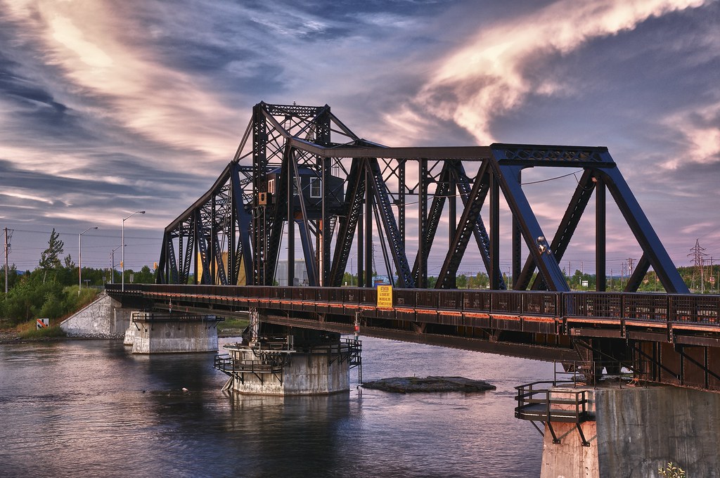
little current swing bridge, manitoulin island, ontario

2010-05-24

Jack wonders where the sun went
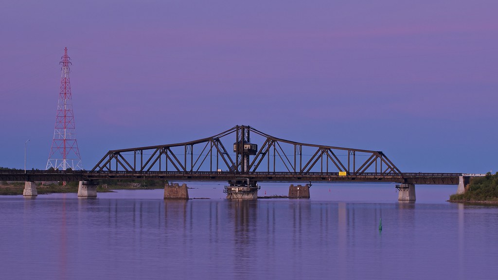
little current swing bridge, manitoulin island, ontario

2010-05-25
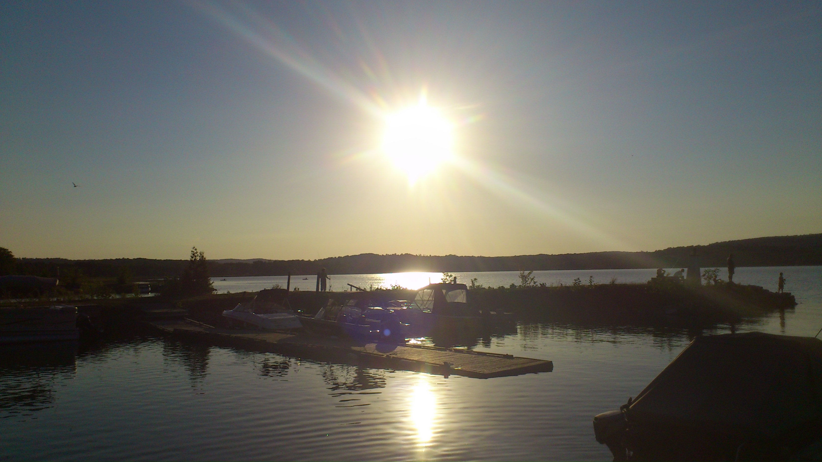
Whites Point Summer Evening
DSC_0211.jpg
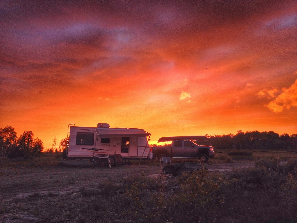
Fire On The Island
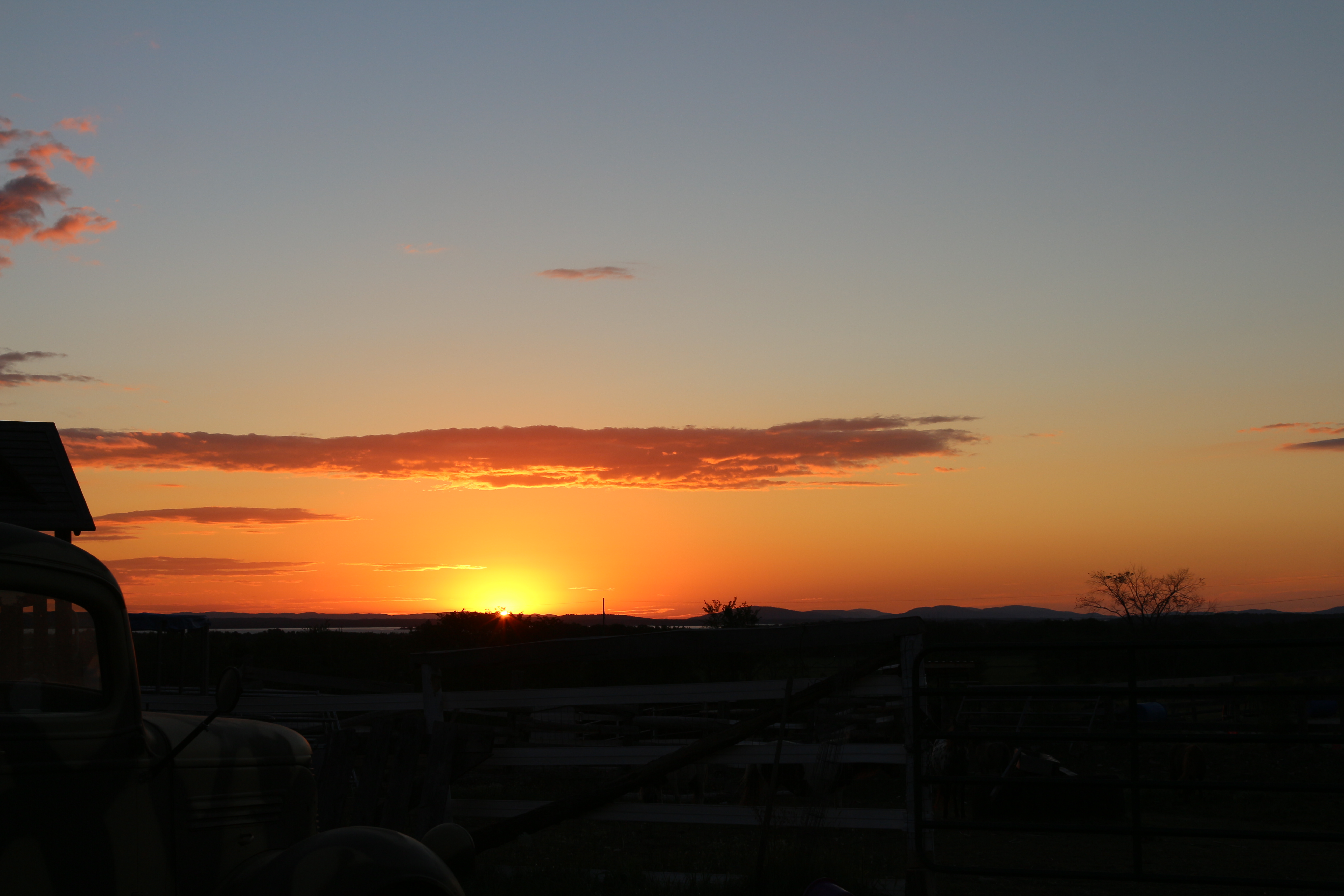
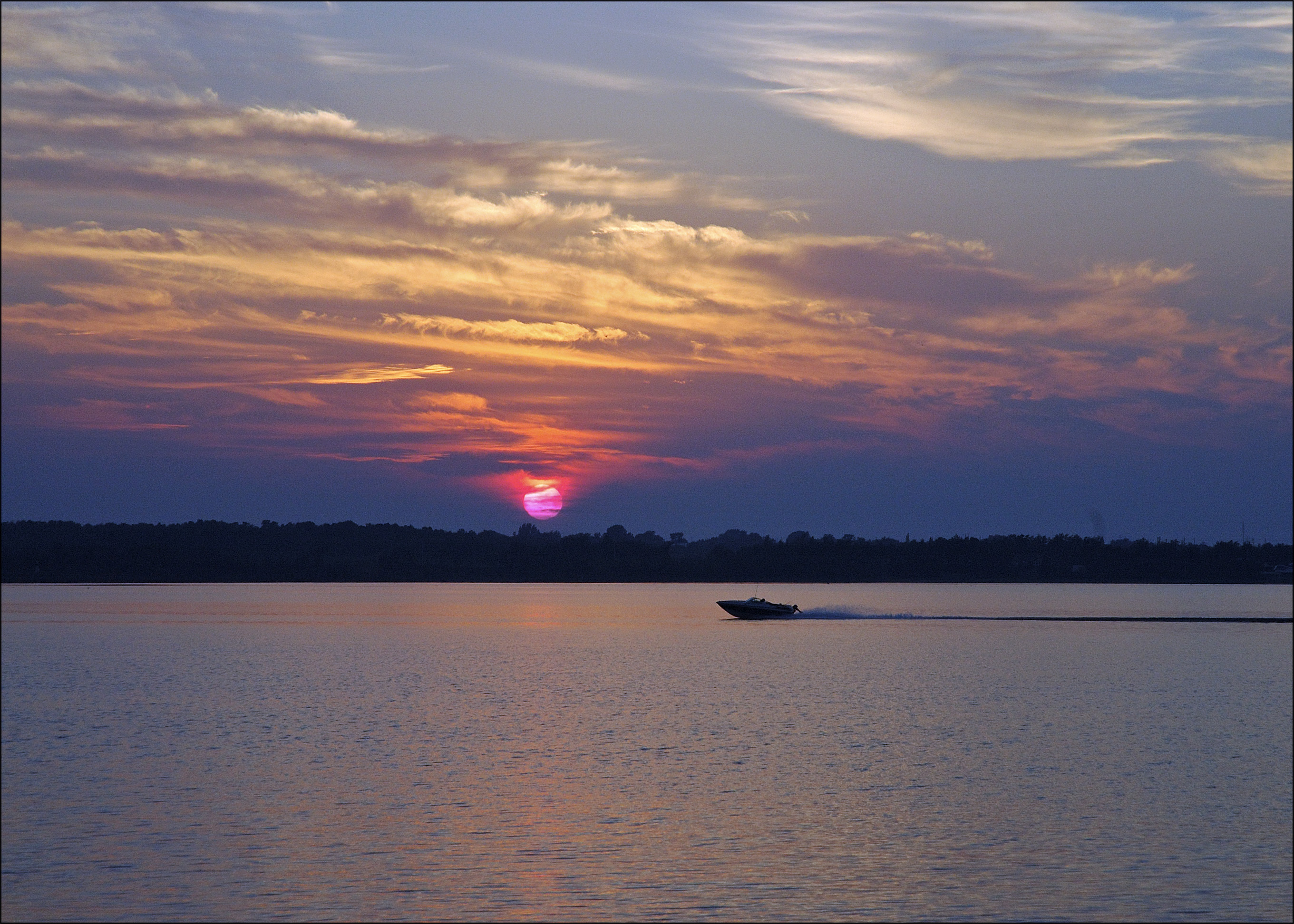
Manitoulin Sunrise 2

Bemamikawe Memorial Trail
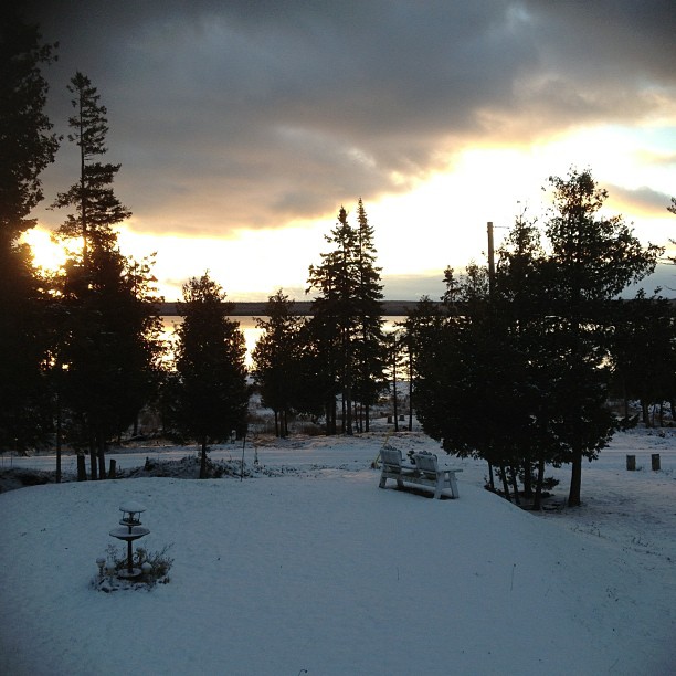
November 26, 2012
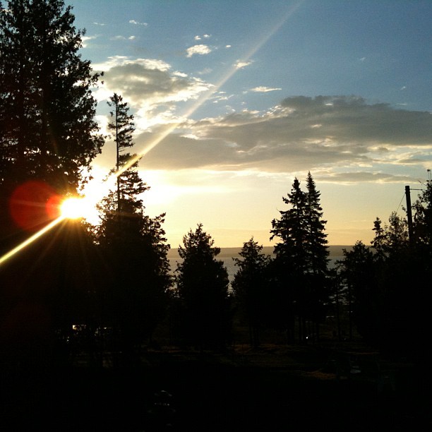
November 11, 2012
Sunrise through the trees.
Northeastern Manitoulin and the Islands, ON, Kanada Karte
Suchen Sie einen anderen Ort
Orte in Northeastern Manitoulin and the Islands, ON, Kanada
Nahe Plätze
18 ON-6, Northeastern Manitoulin and the Islands, ON P0P, Kanada
Rabbit Island Rd, Wikwemikong, ON P0P 2J0, Kanada
A Rabbit Island Rd, Wikwemikong, ON P0P 2J0, Kanada
Little Current, ON P0P 1K0, Kanada
Morphets Side Road, Morphets Side Rd, Little Current, ON P0P 1K0, Kanada
Wikwemikong, ON P0P, Kanada
Bebamikawe Memorial Trail Head, Beach Rd, Wikwemikong, ON P0P 2J0, Kanada
Manitowaning, Ontario P0P, Kanada
Cardwell St, Manitowaning, ON P0P 1N0, Kanada
Assiginack, ON, Kanada
Bidwell Rd, Manitowaning, ON P0P 1N0, Kanada
New England Rd, Manitowaning, ON P0P 1N0, Kanada
ON-, Little Current, ON P0P 1K0, Kanada
Oakcliff Dr N, Mindemoya, ON P0P 1S0, Kanada
James Bay, Ontario, Kanada
La Cloche Lake Rd, Massey, ON P0P 1P0, Kanada
Manitoulin District, Ontario, Kanada
2nd Concession Rd, Gore Bay, ON P0P 1H0, Kanada
Trans-Canada Hwy, Webbwood, ON P0P 2G0, Kanada
Tehkummah, ON P0P, Kanada
Letzte Suche
- Red Dog Mine, AK, USA Sonnenaufgang Sonnenuntergang Zeiten
- Am Bahnhof, Am bhf, Borken, Germany Sonnenaufgang Sonnenuntergang Zeiten
- 4th St E, Sonoma, CA, USA Sonnenaufgang Sonnenuntergang Zeiten
- Oakland Ave, Williamsport, PA, USA Sonnenaufgang Sonnenuntergang Zeiten
- Via Roma, Pieranica CR, Italien Sonnenaufgang Sonnenuntergang Zeiten
- Glockenturm, Grad, Dubrovnik, Kroatien Sonnenaufgang Sonnenuntergang Zeiten
- Trelew, Chubut Province, Argentina Sonnenaufgang Sonnenuntergang Zeiten
- Hartfords Bluff Cir, Mt Pleasant, SC, USA Sonnenaufgang Sonnenuntergang Zeiten
- Kita-ku, Kumamoto, Präfektur Kumamoto, Japan Sonnenaufgang Sonnenuntergang Zeiten
- Pingtan Island, Pingtan County, Fuzhou, China Sonnenaufgang Sonnenuntergang Zeiten