Northeast Berry Road, NE Berry Rd, Washington, USA Sonnenaufgang Sonnenuntergang Zeiten
Location: USA > Washington > Clark County > Battle Ground >
Zeitzone:
America/Los_Angeles
Ortszeit:
2025-05-23 00:51:54
Länge:
-122.3924022
Breite:
45.7868951
Sonnenaufgang Heute:
05:28:55 AM
Sonnenuntergang Heute:
08:43:52 PM
Tageslänge heute:
15h 14m 57s
Sonnenaufgang morgen:
05:28:04 AM
Sonnenuntergang Morgen:
08:44:55 PM
Tageslänge von morgen:
15h 16m 51s
Alle Termine anzeigen
| Datum | Sonnenaufgang | Sonnenuntergang | Tageslänge |
|---|---|---|---|
| 2025-01-01 | 07:50:34 AM | 04:37:01 PM | 8h 46m 27s |
| 2025-01-02 | 07:50:31 AM | 04:38:00 PM | 8h 47m 29s |
| 2025-01-03 | 07:50:24 AM | 04:39:00 PM | 8h 48m 36s |
| 2025-01-04 | 07:50:15 AM | 04:40:03 PM | 8h 49m 48s |
| 2025-01-05 | 07:50:03 AM | 04:41:07 PM | 8h 51m 4s |
| 2025-01-06 | 07:49:49 AM | 04:42:13 PM | 8h 52m 24s |
| 2025-01-07 | 07:49:32 AM | 04:43:21 PM | 8h 53m 49s |
| 2025-01-08 | 07:49:12 AM | 04:44:30 PM | 8h 55m 18s |
| 2025-01-09 | 07:48:50 AM | 04:45:41 PM | 8h 56m 51s |
| 2025-01-10 | 07:48:25 AM | 04:46:53 PM | 8h 58m 28s |
| 2025-01-11 | 07:47:57 AM | 04:48:07 PM | 9h 0m 10s |
| 2025-01-12 | 07:47:27 AM | 04:49:21 PM | 9h 1m 54s |
| 2025-01-13 | 07:46:54 AM | 04:50:37 PM | 9h 3m 43s |
| 2025-01-14 | 07:46:19 AM | 04:51:55 PM | 9h 5m 36s |
| 2025-01-15 | 07:45:42 AM | 04:53:13 PM | 9h 7m 31s |
| 2025-01-16 | 07:45:02 AM | 04:54:32 PM | 9h 9m 30s |
| 2025-01-17 | 07:44:19 AM | 04:55:53 PM | 9h 11m 34s |
| 2025-01-18 | 07:43:34 AM | 04:57:14 PM | 9h 13m 40s |
| 2025-01-19 | 07:42:47 AM | 04:58:36 PM | 9h 15m 49s |
| 2025-01-20 | 07:41:58 AM | 04:59:59 PM | 9h 18m 1s |
| 2025-01-21 | 07:41:06 AM | 05:01:22 PM | 9h 20m 16s |
| 2025-01-22 | 07:40:12 AM | 05:02:47 PM | 9h 22m 35s |
| 2025-01-23 | 07:39:16 AM | 05:04:12 PM | 9h 24m 56s |
| 2025-01-24 | 07:38:18 AM | 05:05:37 PM | 9h 27m 19s |
| 2025-01-25 | 07:37:18 AM | 05:07:03 PM | 9h 29m 45s |
| 2025-01-26 | 07:36:15 AM | 05:08:30 PM | 9h 32m 15s |
| 2025-01-27 | 07:35:11 AM | 05:09:56 PM | 9h 34m 45s |
| 2025-01-28 | 07:34:04 AM | 05:11:24 PM | 9h 37m 20s |
| 2025-01-29 | 07:32:56 AM | 05:12:51 PM | 9h 39m 55s |
| 2025-01-30 | 07:31:46 AM | 05:14:19 PM | 9h 42m 33s |
| 2025-01-31 | 07:30:34 AM | 05:15:47 PM | 9h 45m 13s |
| 2025-02-01 | 07:29:20 AM | 05:17:15 PM | 9h 47m 55s |
| 2025-02-02 | 07:28:04 AM | 05:18:43 PM | 9h 50m 39s |
| 2025-02-03 | 07:26:46 AM | 05:20:12 PM | 9h 53m 26s |
| 2025-02-04 | 07:25:27 AM | 05:21:40 PM | 9h 56m 13s |
| 2025-02-05 | 07:24:07 AM | 05:23:09 PM | 9h 59m 2s |
| 2025-02-06 | 07:22:44 AM | 05:24:38 PM | 10h 1m 54s |
| 2025-02-07 | 07:21:20 AM | 05:26:06 PM | 10h 4m 46s |
| 2025-02-08 | 07:19:55 AM | 05:27:35 PM | 10h 7m 40s |
| 2025-02-09 | 07:18:28 AM | 05:29:03 PM | 10h 10m 35s |
| 2025-02-10 | 07:16:59 AM | 05:30:31 PM | 10h 13m 32s |
| 2025-02-11 | 07:15:30 AM | 05:32:00 PM | 10h 16m 30s |
| 2025-02-12 | 07:13:58 AM | 05:33:28 PM | 10h 19m 30s |
| 2025-02-13 | 07:12:26 AM | 05:34:56 PM | 10h 22m 30s |
| 2025-02-14 | 07:10:52 AM | 05:36:23 PM | 10h 25m 31s |
| 2025-02-15 | 07:09:17 AM | 05:37:51 PM | 10h 28m 34s |
| 2025-02-16 | 07:07:41 AM | 05:39:18 PM | 10h 31m 37s |
| 2025-02-17 | 07:06:04 AM | 05:40:45 PM | 10h 34m 41s |
| 2025-02-18 | 07:04:26 AM | 05:42:12 PM | 10h 37m 46s |
| 2025-02-19 | 07:02:46 AM | 05:43:39 PM | 10h 40m 53s |
| 2025-02-20 | 07:01:06 AM | 05:45:05 PM | 10h 43m 59s |
| 2025-02-21 | 06:59:24 AM | 05:46:31 PM | 10h 47m 7s |
| 2025-02-22 | 06:57:42 AM | 05:47:57 PM | 10h 50m 15s |
| 2025-02-23 | 06:55:58 AM | 05:49:22 PM | 10h 53m 24s |
| 2025-02-24 | 06:54:14 AM | 05:50:48 PM | 10h 56m 34s |
| 2025-02-25 | 06:52:29 AM | 05:52:13 PM | 10h 59m 44s |
| 2025-02-26 | 06:50:43 AM | 05:53:37 PM | 11h 2m 54s |
| 2025-02-27 | 06:48:56 AM | 05:55:02 PM | 11h 6m 6s |
| 2025-02-28 | 06:47:09 AM | 05:56:26 PM | 11h 9m 17s |
| 2025-03-01 | 06:45:20 AM | 05:57:50 PM | 11h 12m 30s |
| 2025-03-02 | 06:43:32 AM | 05:59:13 PM | 11h 15m 41s |
| 2025-03-03 | 06:41:42 AM | 06:00:37 PM | 11h 18m 55s |
| 2025-03-04 | 06:39:52 AM | 06:02:00 PM | 11h 22m 8s |
| 2025-03-05 | 06:38:01 AM | 06:03:22 PM | 11h 25m 21s |
| 2025-03-06 | 06:36:10 AM | 06:04:45 PM | 11h 28m 35s |
| 2025-03-07 | 06:34:18 AM | 06:06:07 PM | 11h 31m 49s |
| 2025-03-08 | 06:32:26 AM | 06:07:29 PM | 11h 35m 3s |
| 2025-03-09 | 07:30:38 AM | 07:08:47 PM | 11h 38m 9s |
| 2025-03-10 | 07:28:45 AM | 07:10:09 PM | 11h 41m 24s |
| 2025-03-11 | 07:26:52 AM | 07:11:30 PM | 11h 44m 38s |
| 2025-03-12 | 07:24:58 AM | 07:12:51 PM | 11h 47m 53s |
| 2025-03-13 | 07:23:04 AM | 07:14:12 PM | 11h 51m 8s |
| 2025-03-14 | 07:21:10 AM | 07:15:33 PM | 11h 54m 23s |
| 2025-03-15 | 07:19:15 AM | 07:16:53 PM | 11h 57m 38s |
| 2025-03-16 | 07:17:21 AM | 07:18:14 PM | 12h 0m 53s |
| 2025-03-17 | 07:15:26 AM | 07:19:34 PM | 12h 4m 8s |
| 2025-03-18 | 07:13:31 AM | 07:20:54 PM | 12h 7m 23s |
| 2025-03-19 | 07:11:35 AM | 07:22:13 PM | 12h 10m 38s |
| 2025-03-20 | 07:09:40 AM | 07:23:33 PM | 12h 13m 53s |
| 2025-03-21 | 07:07:45 AM | 07:24:53 PM | 12h 17m 8s |
| 2025-03-22 | 07:05:49 AM | 07:26:12 PM | 12h 20m 23s |
| 2025-03-23 | 07:03:54 AM | 07:27:31 PM | 12h 23m 37s |
| 2025-03-24 | 07:01:59 AM | 07:28:50 PM | 12h 26m 51s |
| 2025-03-25 | 07:00:03 AM | 07:30:09 PM | 12h 30m 6s |
| 2025-03-26 | 06:58:08 AM | 07:31:28 PM | 12h 33m 20s |
| 2025-03-27 | 06:56:13 AM | 07:32:47 PM | 12h 36m 34s |
| 2025-03-28 | 06:54:18 AM | 07:34:06 PM | 12h 39m 48s |
| 2025-03-29 | 06:52:24 AM | 07:35:25 PM | 12h 43m 1s |
| 2025-03-30 | 06:50:29 AM | 07:36:43 PM | 12h 46m 14s |
| 2025-03-31 | 06:48:35 AM | 07:38:02 PM | 12h 49m 27s |
| 2025-04-01 | 06:46:41 AM | 07:39:21 PM | 12h 52m 40s |
| 2025-04-02 | 06:44:47 AM | 07:40:39 PM | 12h 55m 52s |
| 2025-04-03 | 06:42:54 AM | 07:41:58 PM | 12h 59m 4s |
| 2025-04-04 | 06:41:01 AM | 07:43:16 PM | 13h 2m 15s |
| 2025-04-05 | 06:39:09 AM | 07:44:35 PM | 13h 5m 26s |
| 2025-04-06 | 06:37:17 AM | 07:45:53 PM | 13h 8m 36s |
| 2025-04-07 | 06:35:25 AM | 07:47:12 PM | 13h 11m 47s |
| 2025-04-08 | 06:33:34 AM | 07:48:30 PM | 13h 14m 56s |
| 2025-04-09 | 06:31:43 AM | 07:49:49 PM | 13h 18m 6s |
| 2025-04-10 | 06:29:54 AM | 07:51:07 PM | 13h 21m 13s |
| 2025-04-11 | 06:28:04 AM | 07:52:25 PM | 13h 24m 21s |
| 2025-04-12 | 06:26:15 AM | 07:53:44 PM | 13h 27m 29s |
| 2025-04-13 | 06:24:27 AM | 07:55:02 PM | 13h 30m 35s |
| 2025-04-14 | 06:22:40 AM | 07:56:21 PM | 13h 33m 41s |
| 2025-04-15 | 06:20:54 AM | 07:57:39 PM | 13h 36m 45s |
| 2025-04-16 | 06:19:08 AM | 07:58:57 PM | 13h 39m 49s |
| 2025-04-17 | 06:17:23 AM | 08:00:16 PM | 13h 42m 53s |
| 2025-04-18 | 06:15:38 AM | 08:01:34 PM | 13h 45m 56s |
| 2025-04-19 | 06:13:55 AM | 08:02:52 PM | 13h 48m 57s |
| 2025-04-20 | 06:12:13 AM | 08:04:11 PM | 13h 51m 58s |
| 2025-04-21 | 06:10:31 AM | 08:05:29 PM | 13h 54m 58s |
| 2025-04-22 | 06:08:51 AM | 08:06:47 PM | 13h 57m 56s |
| 2025-04-23 | 06:07:11 AM | 08:08:05 PM | 14h 0m 54s |
| 2025-04-24 | 06:05:33 AM | 08:09:23 PM | 14h 3m 50s |
| 2025-04-25 | 06:03:56 AM | 08:10:41 PM | 14h 6m 45s |
| 2025-04-26 | 06:02:20 AM | 08:11:59 PM | 14h 9m 39s |
| 2025-04-27 | 06:00:45 AM | 08:13:16 PM | 14h 12m 31s |
| 2025-04-28 | 05:59:11 AM | 08:14:34 PM | 14h 15m 23s |
| 2025-04-29 | 05:57:38 AM | 08:15:51 PM | 14h 18m 13s |
| 2025-04-30 | 05:56:07 AM | 08:17:08 PM | 14h 21m 1s |
| 2025-05-01 | 05:54:37 AM | 08:18:25 PM | 14h 23m 48s |
| 2025-05-02 | 05:53:08 AM | 08:19:41 PM | 14h 26m 33s |
| 2025-05-03 | 05:51:41 AM | 08:20:57 PM | 14h 29m 16s |
| 2025-05-04 | 05:50:15 AM | 08:22:13 PM | 14h 31m 58s |
| 2025-05-05 | 05:48:51 AM | 08:23:29 PM | 14h 34m 38s |
| 2025-05-06 | 05:47:28 AM | 08:24:44 PM | 14h 37m 16s |
| 2025-05-07 | 05:46:06 AM | 08:25:59 PM | 14h 39m 53s |
| 2025-05-08 | 05:44:47 AM | 08:27:14 PM | 14h 42m 27s |
| 2025-05-09 | 05:43:28 AM | 08:28:28 PM | 14h 45m 0s |
| 2025-05-10 | 05:42:12 AM | 08:29:41 PM | 14h 47m 29s |
| 2025-05-11 | 05:40:57 AM | 08:30:54 PM | 14h 49m 57s |
| 2025-05-12 | 05:39:44 AM | 08:32:06 PM | 14h 52m 22s |
| 2025-05-13 | 05:38:32 AM | 08:33:18 PM | 14h 54m 46s |
| 2025-05-14 | 05:37:23 AM | 08:34:29 PM | 14h 57m 6s |
| 2025-05-15 | 05:36:15 AM | 08:35:39 PM | 14h 59m 24s |
| 2025-05-16 | 05:35:09 AM | 08:36:49 PM | 15h 1m 40s |
| 2025-05-17 | 05:34:05 AM | 08:37:58 PM | 15h 3m 53s |
| 2025-05-18 | 05:33:03 AM | 08:39:06 PM | 15h 6m 3s |
| 2025-05-19 | 05:32:03 AM | 08:40:13 PM | 15h 8m 10s |
| 2025-05-20 | 05:31:05 AM | 08:41:19 PM | 15h 10m 14s |
| 2025-05-21 | 05:30:09 AM | 08:42:24 PM | 15h 12m 15s |
| 2025-05-22 | 05:29:15 AM | 08:43:29 PM | 15h 14m 14s |
| 2025-05-23 | 05:28:23 AM | 08:44:32 PM | 15h 16m 9s |
| 2025-05-24 | 05:27:33 AM | 08:45:34 PM | 15h 18m 1s |
| 2025-05-25 | 05:26:46 AM | 08:46:34 PM | 15h 19m 48s |
| 2025-05-26 | 05:26:00 AM | 08:47:34 PM | 15h 21m 34s |
| 2025-05-27 | 05:25:17 AM | 08:48:32 PM | 15h 23m 15s |
| 2025-05-28 | 05:24:36 AM | 08:49:29 PM | 15h 24m 53s |
| 2025-05-29 | 05:23:57 AM | 08:50:25 PM | 15h 26m 28s |
| 2025-05-30 | 05:23:21 AM | 08:51:19 PM | 15h 27m 58s |
| 2025-05-31 | 05:22:47 AM | 08:52:11 PM | 15h 29m 24s |
| 2025-06-01 | 05:22:15 AM | 08:53:02 PM | 15h 30m 47s |
| 2025-06-02 | 05:21:46 AM | 08:53:52 PM | 15h 32m 6s |
| 2025-06-03 | 05:21:18 AM | 08:54:39 PM | 15h 33m 21s |
| 2025-06-04 | 05:20:54 AM | 08:55:26 PM | 15h 34m 32s |
| 2025-06-05 | 05:20:31 AM | 08:56:10 PM | 15h 35m 39s |
| 2025-06-06 | 05:20:11 AM | 08:56:52 PM | 15h 36m 41s |
| 2025-06-07 | 05:19:54 AM | 08:57:33 PM | 15h 37m 39s |
| 2025-06-08 | 05:19:38 AM | 08:58:12 PM | 15h 38m 34s |
| 2025-06-09 | 05:19:26 AM | 08:58:49 PM | 15h 39m 23s |
| 2025-06-10 | 05:19:15 AM | 08:59:24 PM | 15h 40m 9s |
| 2025-06-11 | 05:19:07 AM | 08:59:56 PM | 15h 40m 49s |
| 2025-06-12 | 05:19:02 AM | 09:00:27 PM | 15h 41m 25s |
| 2025-06-13 | 05:18:58 AM | 09:00:56 PM | 15h 41m 58s |
| 2025-06-14 | 05:18:57 AM | 09:01:22 PM | 15h 42m 25s |
| 2025-06-15 | 05:18:59 AM | 09:01:47 PM | 15h 42m 48s |
| 2025-06-16 | 05:19:03 AM | 09:02:09 PM | 15h 43m 6s |
| 2025-06-17 | 05:19:09 AM | 09:02:29 PM | 15h 43m 20s |
| 2025-06-18 | 05:19:18 AM | 09:02:46 PM | 15h 43m 28s |
| 2025-06-19 | 05:19:28 AM | 09:03:02 PM | 15h 43m 34s |
| 2025-06-20 | 05:19:42 AM | 09:03:15 PM | 15h 43m 33s |
| 2025-06-21 | 05:19:57 AM | 09:03:25 PM | 15h 43m 28s |
| 2025-06-22 | 05:20:15 AM | 09:03:34 PM | 15h 43m 19s |
| 2025-06-23 | 05:20:34 AM | 09:03:39 PM | 15h 43m 5s |
| 2025-06-24 | 05:20:56 AM | 09:03:43 PM | 15h 42m 47s |
| 2025-06-25 | 05:21:21 AM | 09:03:44 PM | 15h 42m 23s |
| 2025-06-26 | 05:21:47 AM | 09:03:43 PM | 15h 41m 56s |
| 2025-06-27 | 05:22:15 AM | 09:03:39 PM | 15h 41m 24s |
| 2025-06-28 | 05:22:45 AM | 09:03:33 PM | 15h 40m 48s |
| 2025-06-29 | 05:23:18 AM | 09:03:24 PM | 15h 40m 6s |
| 2025-06-30 | 05:23:52 AM | 09:03:13 PM | 15h 39m 21s |
| 2025-07-01 | 05:24:28 AM | 09:02:59 PM | 15h 38m 31s |
| 2025-07-02 | 05:25:06 AM | 09:02:43 PM | 15h 37m 37s |
| 2025-07-03 | 05:25:46 AM | 09:02:25 PM | 15h 36m 39s |
| 2025-07-04 | 05:26:28 AM | 09:02:04 PM | 15h 35m 36s |
| 2025-07-05 | 05:27:11 AM | 09:01:41 PM | 15h 34m 30s |
| 2025-07-06 | 05:27:56 AM | 09:01:15 PM | 15h 33m 19s |
| 2025-07-07 | 05:28:42 AM | 09:00:47 PM | 15h 32m 5s |
| 2025-07-08 | 05:29:31 AM | 09:00:16 PM | 15h 30m 45s |
| 2025-07-09 | 05:30:20 AM | 08:59:43 PM | 15h 29m 23s |
| 2025-07-10 | 05:31:11 AM | 08:59:08 PM | 15h 27m 57s |
| 2025-07-11 | 05:32:04 AM | 08:58:31 PM | 15h 26m 27s |
| 2025-07-12 | 05:32:58 AM | 08:57:51 PM | 15h 24m 53s |
| 2025-07-13 | 05:33:53 AM | 08:57:09 PM | 15h 23m 16s |
| 2025-07-14 | 05:34:49 AM | 08:56:24 PM | 15h 21m 35s |
| 2025-07-15 | 05:35:47 AM | 08:55:38 PM | 15h 19m 51s |
| 2025-07-16 | 05:36:46 AM | 08:54:49 PM | 15h 18m 3s |
| 2025-07-17 | 05:37:46 AM | 08:53:58 PM | 15h 16m 12s |
| 2025-07-18 | 05:38:47 AM | 08:53:05 PM | 15h 14m 18s |
| 2025-07-19 | 05:39:49 AM | 08:52:10 PM | 15h 12m 21s |
| 2025-07-20 | 05:40:52 AM | 08:51:12 PM | 15h 10m 20s |
| 2025-07-21 | 05:41:55 AM | 08:50:13 PM | 15h 8m 18s |
| 2025-07-22 | 05:43:00 AM | 08:49:12 PM | 15h 6m 12s |
| 2025-07-23 | 05:44:05 AM | 08:48:08 PM | 15h 4m 3s |
| 2025-07-24 | 05:45:12 AM | 08:47:03 PM | 15h 1m 51s |
| 2025-07-25 | 05:46:19 AM | 08:45:56 PM | 14h 59m 37s |
| 2025-07-26 | 05:47:26 AM | 08:44:47 PM | 14h 57m 21s |
| 2025-07-27 | 05:48:34 AM | 08:43:36 PM | 14h 55m 2s |
| 2025-07-28 | 05:49:43 AM | 08:42:23 PM | 14h 52m 40s |
| 2025-07-29 | 05:50:53 AM | 08:41:09 PM | 14h 50m 16s |
| 2025-07-30 | 05:52:02 AM | 08:39:53 PM | 14h 47m 51s |
| 2025-07-31 | 05:53:13 AM | 08:38:35 PM | 14h 45m 22s |
| 2025-08-01 | 05:54:24 AM | 08:37:15 PM | 14h 42m 51s |
| 2025-08-02 | 05:55:35 AM | 08:35:54 PM | 14h 40m 19s |
| 2025-08-03 | 05:56:46 AM | 08:34:32 PM | 14h 37m 46s |
| 2025-08-04 | 05:57:58 AM | 08:33:07 PM | 14h 35m 9s |
| 2025-08-05 | 05:59:10 AM | 08:31:42 PM | 14h 32m 32s |
| 2025-08-06 | 06:00:23 AM | 08:30:14 PM | 14h 29m 51s |
| 2025-08-07 | 06:01:36 AM | 08:28:46 PM | 14h 27m 10s |
| 2025-08-08 | 06:02:49 AM | 08:27:16 PM | 14h 24m 27s |
| 2025-08-09 | 06:04:02 AM | 08:25:44 PM | 14h 21m 42s |
| 2025-08-10 | 06:05:15 AM | 08:24:12 PM | 14h 18m 57s |
| 2025-08-11 | 06:06:29 AM | 08:22:38 PM | 14h 16m 9s |
| 2025-08-12 | 06:07:42 AM | 08:21:02 PM | 14h 13m 20s |
| 2025-08-13 | 06:08:56 AM | 08:19:26 PM | 14h 10m 30s |
| 2025-08-14 | 06:10:10 AM | 08:17:48 PM | 14h 7m 38s |
| 2025-08-15 | 06:11:24 AM | 08:16:10 PM | 14h 4m 46s |
| 2025-08-16 | 06:12:38 AM | 08:14:30 PM | 14h 1m 52s |
| 2025-08-17 | 06:13:52 AM | 08:12:49 PM | 13h 58m 57s |
| 2025-08-18 | 06:15:06 AM | 08:11:07 PM | 13h 56m 1s |
| 2025-08-19 | 06:16:20 AM | 08:09:24 PM | 13h 53m 4s |
| 2025-08-20 | 06:17:34 AM | 08:07:41 PM | 13h 50m 7s |
| 2025-08-21 | 06:18:48 AM | 08:05:56 PM | 13h 47m 8s |
| 2025-08-22 | 06:20:02 AM | 08:04:10 PM | 13h 44m 8s |
| 2025-08-23 | 06:21:16 AM | 08:02:24 PM | 13h 41m 8s |
| 2025-08-24 | 06:22:30 AM | 08:00:37 PM | 13h 38m 7s |
| 2025-08-25 | 06:23:44 AM | 07:58:48 PM | 13h 35m 4s |
| 2025-08-26 | 06:24:58 AM | 07:57:00 PM | 13h 32m 2s |
| 2025-08-27 | 06:26:12 AM | 07:55:10 PM | 13h 28m 58s |
| 2025-08-28 | 06:27:26 AM | 07:53:20 PM | 13h 25m 54s |
| 2025-08-29 | 06:28:40 AM | 07:51:29 PM | 13h 22m 49s |
| 2025-08-30 | 06:29:54 AM | 07:49:38 PM | 13h 19m 44s |
| 2025-08-31 | 06:31:08 AM | 07:47:46 PM | 13h 16m 38s |
| 2025-09-01 | 06:32:22 AM | 07:45:53 PM | 13h 13m 31s |
| 2025-09-02 | 06:33:36 AM | 07:44:00 PM | 13h 10m 24s |
| 2025-09-03 | 06:34:49 AM | 07:42:06 PM | 13h 7m 17s |
| 2025-09-04 | 06:36:03 AM | 07:40:12 PM | 13h 4m 9s |
| 2025-09-05 | 06:37:17 AM | 07:38:18 PM | 13h 1m 1s |
| 2025-09-06 | 06:38:31 AM | 07:36:23 PM | 12h 57m 52s |
| 2025-09-07 | 06:39:45 AM | 07:34:28 PM | 12h 54m 43s |
| 2025-09-08 | 06:40:59 AM | 07:32:32 PM | 12h 51m 33s |
| 2025-09-09 | 06:42:13 AM | 07:30:36 PM | 12h 48m 23s |
| 2025-09-10 | 06:43:26 AM | 07:28:40 PM | 12h 45m 14s |
| 2025-09-11 | 06:44:40 AM | 07:26:44 PM | 12h 42m 4s |
| 2025-09-12 | 06:45:54 AM | 07:24:47 PM | 12h 38m 53s |
| 2025-09-13 | 06:47:08 AM | 07:22:50 PM | 12h 35m 42s |
| 2025-09-14 | 06:48:22 AM | 07:20:53 PM | 12h 32m 31s |
| 2025-09-15 | 06:49:37 AM | 07:18:56 PM | 12h 29m 19s |
| 2025-09-16 | 06:50:51 AM | 07:16:59 PM | 12h 26m 8s |
| 2025-09-17 | 06:52:05 AM | 07:15:02 PM | 12h 22m 57s |
| 2025-09-18 | 06:53:20 AM | 07:13:05 PM | 12h 19m 45s |
| 2025-09-19 | 06:54:34 AM | 07:11:07 PM | 12h 16m 33s |
| 2025-09-20 | 06:55:49 AM | 07:09:10 PM | 12h 13m 21s |
| 2025-09-21 | 06:57:04 AM | 07:07:13 PM | 12h 10m 9s |
| 2025-09-22 | 06:58:19 AM | 07:05:16 PM | 12h 6m 57s |
| 2025-09-23 | 06:59:34 AM | 07:03:19 PM | 12h 3m 45s |
| 2025-09-24 | 07:00:49 AM | 07:01:22 PM | 12h 0m 33s |
| 2025-09-25 | 07:02:04 AM | 06:59:26 PM | 11h 57m 22s |
| 2025-09-26 | 07:03:20 AM | 06:57:29 PM | 11h 54m 9s |
| 2025-09-27 | 07:04:36 AM | 06:55:33 PM | 11h 50m 57s |
| 2025-09-28 | 07:05:52 AM | 06:53:37 PM | 11h 47m 45s |
| 2025-09-29 | 07:07:08 AM | 06:51:42 PM | 11h 44m 34s |
| 2025-09-30 | 07:08:25 AM | 06:49:47 PM | 11h 41m 22s |
| 2025-10-01 | 07:09:41 AM | 06:47:52 PM | 11h 38m 11s |
| 2025-10-02 | 07:10:58 AM | 06:45:57 PM | 11h 34m 59s |
| 2025-10-03 | 07:12:16 AM | 06:44:03 PM | 11h 31m 47s |
| 2025-10-04 | 07:13:33 AM | 06:42:10 PM | 11h 28m 37s |
| 2025-10-05 | 07:14:51 AM | 06:40:17 PM | 11h 25m 26s |
| 2025-10-06 | 07:16:09 AM | 06:38:24 PM | 11h 22m 15s |
| 2025-10-07 | 07:17:27 AM | 06:36:32 PM | 11h 19m 5s |
| 2025-10-08 | 07:18:46 AM | 06:34:41 PM | 11h 15m 55s |
| 2025-10-09 | 07:20:04 AM | 06:32:50 PM | 11h 12m 46s |
| 2025-10-10 | 07:21:24 AM | 06:31:00 PM | 11h 9m 36s |
| 2025-10-11 | 07:22:43 AM | 06:29:10 PM | 11h 6m 27s |
| 2025-10-12 | 07:24:03 AM | 06:27:22 PM | 11h 3m 19s |
| 2025-10-13 | 07:25:23 AM | 06:25:34 PM | 11h 0m 11s |
| 2025-10-14 | 07:26:43 AM | 06:23:47 PM | 10h 57m 4s |
| 2025-10-15 | 07:28:04 AM | 06:22:00 PM | 10h 53m 56s |
| 2025-10-16 | 07:29:25 AM | 06:20:15 PM | 10h 50m 50s |
| 2025-10-17 | 07:30:46 AM | 06:18:30 PM | 10h 47m 44s |
| 2025-10-18 | 07:32:08 AM | 06:16:47 PM | 10h 44m 39s |
| 2025-10-19 | 07:33:30 AM | 06:15:04 PM | 10h 41m 34s |
| 2025-10-20 | 07:34:52 AM | 06:13:23 PM | 10h 38m 31s |
| 2025-10-21 | 07:36:15 AM | 06:11:42 PM | 10h 35m 27s |
| 2025-10-22 | 07:37:37 AM | 06:10:03 PM | 10h 32m 26s |
| 2025-10-23 | 07:39:00 AM | 06:08:24 PM | 10h 29m 24s |
| 2025-10-24 | 07:40:24 AM | 06:06:47 PM | 10h 26m 23s |
| 2025-10-25 | 07:41:47 AM | 06:05:11 PM | 10h 23m 24s |
| 2025-10-26 | 07:43:11 AM | 06:03:37 PM | 10h 20m 26s |
| 2025-10-27 | 07:44:35 AM | 06:02:03 PM | 10h 17m 28s |
| 2025-10-28 | 07:45:59 AM | 06:00:31 PM | 10h 14m 32s |
| 2025-10-29 | 07:47:23 AM | 05:59:01 PM | 10h 11m 38s |
| 2025-10-30 | 07:48:48 AM | 05:57:31 PM | 10h 8m 43s |
| 2025-10-31 | 07:50:12 AM | 05:56:04 PM | 10h 5m 52s |
| 2025-11-01 | 07:51:37 AM | 05:54:37 PM | 10h 3m 0s |
| 2025-11-02 | 06:53:05 AM | 04:53:09 PM | 10h 0m 4s |
| 2025-11-03 | 06:54:30 AM | 04:51:46 PM | 9h 57m 16s |
| 2025-11-04 | 06:55:55 AM | 04:50:24 PM | 9h 54m 29s |
| 2025-11-05 | 06:57:20 AM | 04:49:05 PM | 9h 51m 45s |
| 2025-11-06 | 06:58:45 AM | 04:47:46 PM | 9h 49m 1s |
| 2025-11-07 | 07:00:10 AM | 04:46:30 PM | 9h 46m 20s |
| 2025-11-08 | 07:01:35 AM | 04:45:15 PM | 9h 43m 40s |
| 2025-11-09 | 07:02:59 AM | 04:44:03 PM | 9h 41m 4s |
| 2025-11-10 | 07:04:24 AM | 04:42:52 PM | 9h 38m 28s |
| 2025-11-11 | 07:05:48 AM | 04:41:43 PM | 9h 35m 55s |
| 2025-11-12 | 07:07:12 AM | 04:40:36 PM | 9h 33m 24s |
| 2025-11-13 | 07:08:35 AM | 04:39:31 PM | 9h 30m 56s |
| 2025-11-14 | 07:09:59 AM | 04:38:28 PM | 9h 28m 29s |
| 2025-11-15 | 07:11:21 AM | 04:37:27 PM | 9h 26m 6s |
| 2025-11-16 | 07:12:44 AM | 04:36:28 PM | 9h 23m 44s |
| 2025-11-17 | 07:14:06 AM | 04:35:32 PM | 9h 21m 26s |
| 2025-11-18 | 07:15:27 AM | 04:34:37 PM | 9h 19m 10s |
| 2025-11-19 | 07:16:48 AM | 04:33:45 PM | 9h 16m 57s |
| 2025-11-20 | 07:18:08 AM | 04:32:56 PM | 9h 14m 48s |
| 2025-11-21 | 07:19:27 AM | 04:32:08 PM | 9h 12m 41s |
| 2025-11-22 | 07:20:46 AM | 04:31:23 PM | 9h 10m 37s |
| 2025-11-23 | 07:22:03 AM | 04:30:40 PM | 9h 8m 37s |
| 2025-11-24 | 07:23:20 AM | 04:30:00 PM | 9h 6m 40s |
| 2025-11-25 | 07:24:36 AM | 04:29:22 PM | 9h 4m 46s |
| 2025-11-26 | 07:25:50 AM | 04:28:47 PM | 9h 2m 57s |
| 2025-11-27 | 07:27:04 AM | 04:28:14 PM | 9h 1m 10s |
| 2025-11-28 | 07:28:17 AM | 04:27:44 PM | 8h 59m 27s |
| 2025-11-29 | 07:29:28 AM | 04:27:16 PM | 8h 57m 48s |
| 2025-11-30 | 07:30:38 AM | 04:26:51 PM | 8h 56m 13s |
| 2025-12-01 | 07:31:46 AM | 04:26:29 PM | 8h 54m 43s |
| 2025-12-02 | 07:32:53 AM | 04:26:09 PM | 8h 53m 16s |
| 2025-12-03 | 07:33:59 AM | 04:25:52 PM | 8h 51m 53s |
| 2025-12-04 | 07:35:03 AM | 04:25:37 PM | 8h 50m 34s |
| 2025-12-05 | 07:36:05 AM | 04:25:26 PM | 8h 49m 21s |
| 2025-12-06 | 07:37:06 AM | 04:25:17 PM | 8h 48m 11s |
| 2025-12-07 | 07:38:05 AM | 04:25:10 PM | 8h 47m 5s |
| 2025-12-08 | 07:39:02 AM | 04:25:07 PM | 8h 46m 5s |
| 2025-12-09 | 07:39:57 AM | 04:25:06 PM | 8h 45m 9s |
| 2025-12-10 | 07:40:51 AM | 04:25:08 PM | 8h 44m 17s |
| 2025-12-11 | 07:41:42 AM | 04:25:13 PM | 8h 43m 31s |
| 2025-12-12 | 07:42:31 AM | 04:25:20 PM | 8h 42m 49s |
| 2025-12-13 | 07:43:18 AM | 04:25:30 PM | 8h 42m 12s |
| 2025-12-14 | 07:44:03 AM | 04:25:43 PM | 8h 41m 40s |
| 2025-12-15 | 07:44:46 AM | 04:25:58 PM | 8h 41m 12s |
| 2025-12-16 | 07:45:26 AM | 04:26:17 PM | 8h 40m 51s |
| 2025-12-17 | 07:46:05 AM | 04:26:37 PM | 8h 40m 32s |
| 2025-12-18 | 07:46:40 AM | 04:27:01 PM | 8h 40m 21s |
| 2025-12-19 | 07:47:14 AM | 04:27:27 PM | 8h 40m 13s |
| 2025-12-20 | 07:47:45 AM | 04:27:56 PM | 8h 40m 11s |
| 2025-12-21 | 07:48:13 AM | 04:28:27 PM | 8h 40m 14s |
| 2025-12-22 | 07:48:39 AM | 04:29:01 PM | 8h 40m 22s |
| 2025-12-23 | 07:49:02 AM | 04:29:37 PM | 8h 40m 35s |
| 2025-12-24 | 07:49:23 AM | 04:30:16 PM | 8h 40m 53s |
| 2025-12-25 | 07:49:41 AM | 04:30:57 PM | 8h 41m 16s |
| 2025-12-26 | 07:49:57 AM | 04:31:40 PM | 8h 41m 43s |
| 2025-12-27 | 07:50:10 AM | 04:32:26 PM | 8h 42m 16s |
| 2025-12-28 | 07:50:20 AM | 04:33:14 PM | 8h 42m 54s |
| 2025-12-29 | 07:50:28 AM | 04:34:04 PM | 8h 43m 36s |
| 2025-12-30 | 07:50:33 AM | 04:34:56 PM | 8h 44m 23s |
| 2025-12-31 | 07:50:35 AM | 04:35:50 PM | 8h 45m 15s |
Fotos

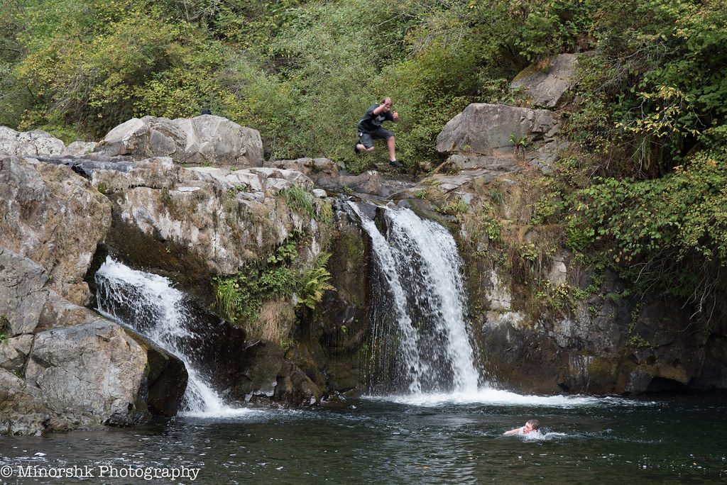
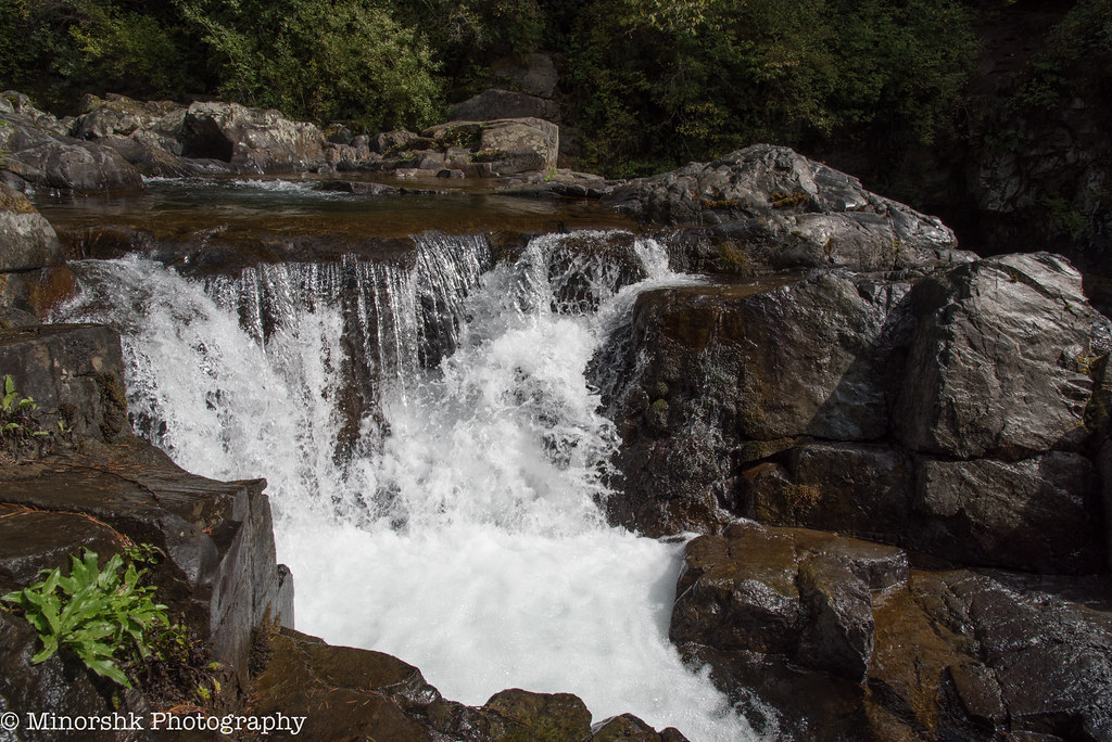
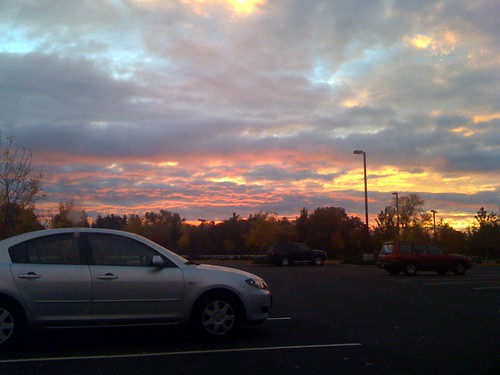
Sunset Falls

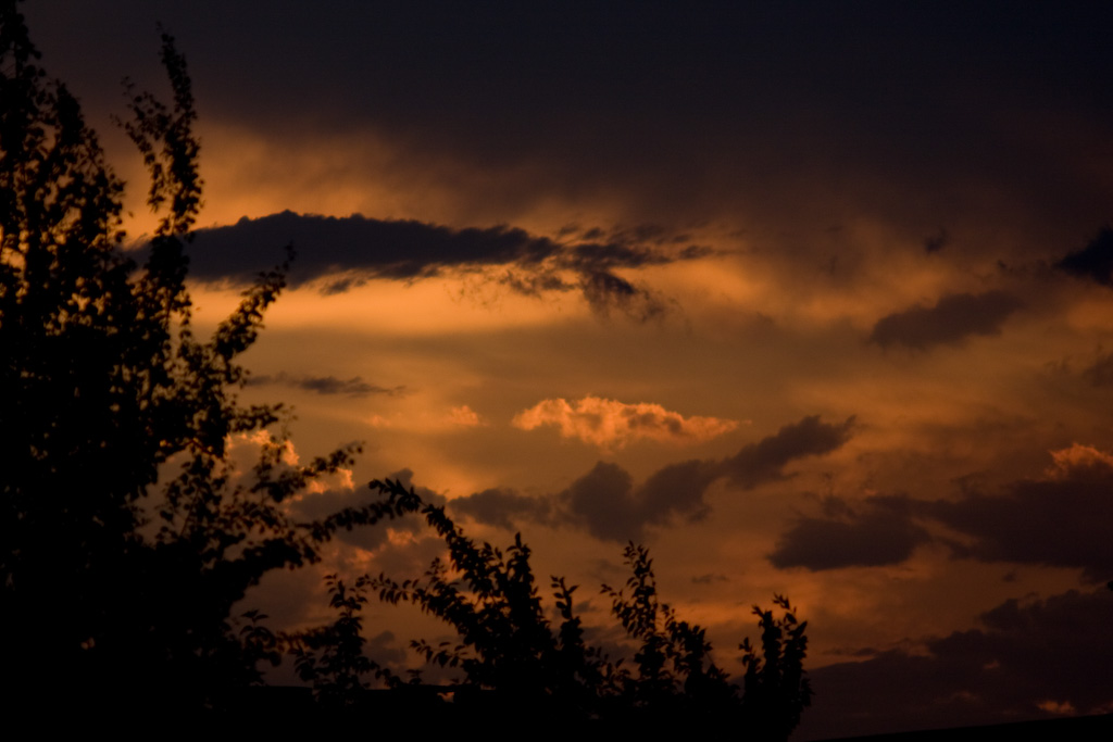
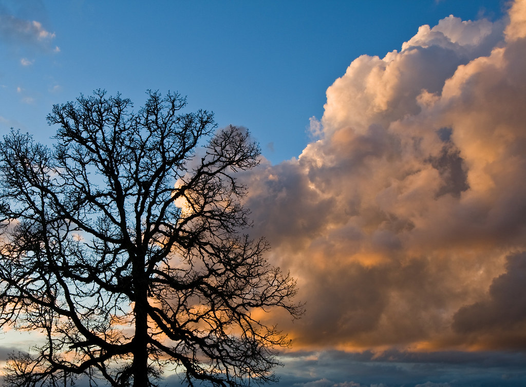
The Fire Inside
Fading Clutter

Amber Waves

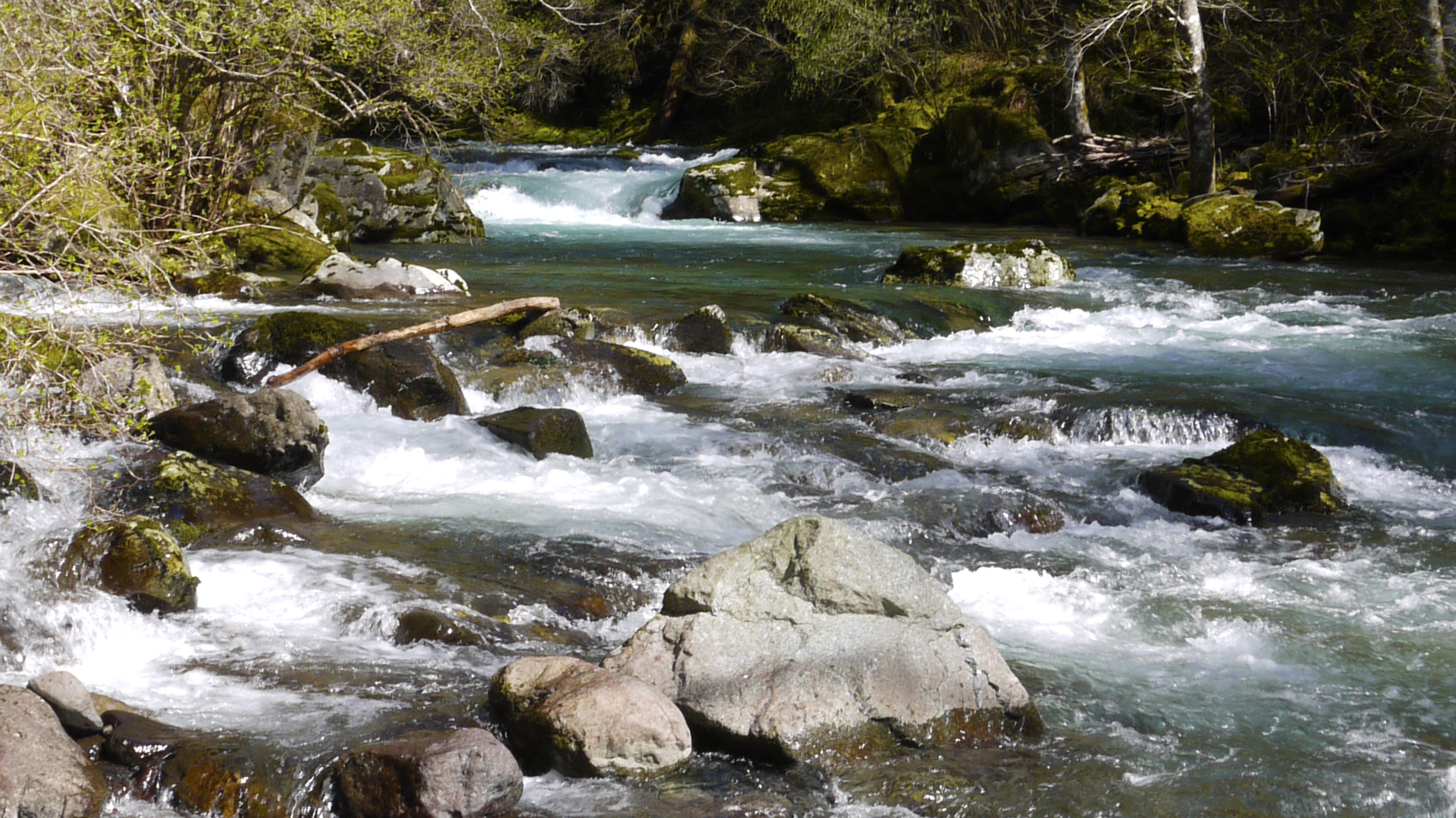
River ripples

Mist & Moss
untitled-3267.jpg

untitled-3251.jpg
Sunset Falls
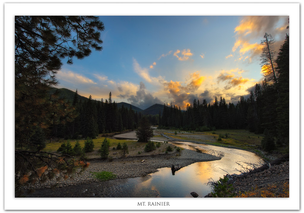
Mt. Rainier

untitled-3249.jpg

Sunset out the Great Room window

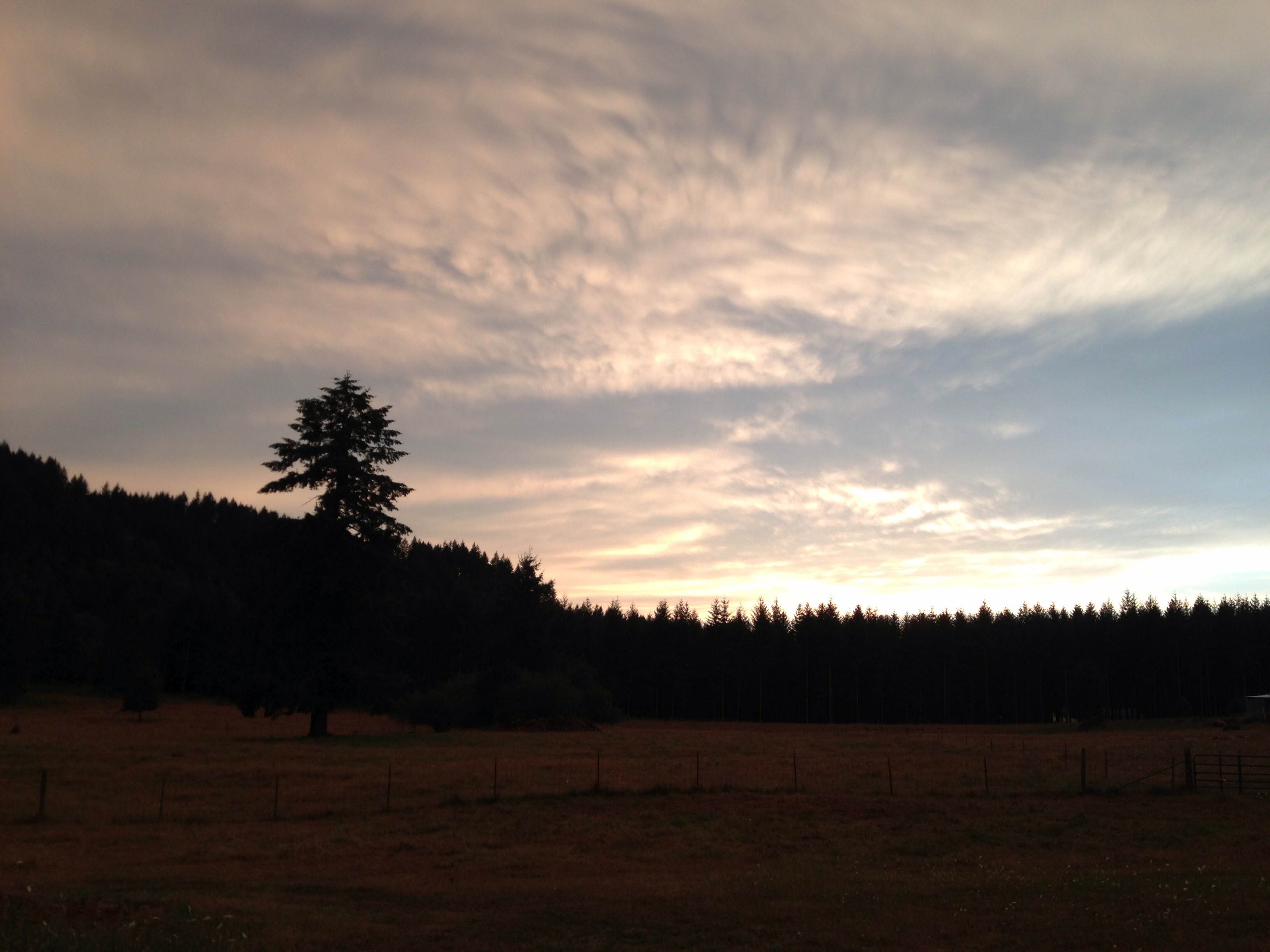
Springtime neighborhood wander #sunset #silhouette #awesomized

untitled-3253.jpg

Reach for the Purple

Avid Photographer
Sunset 8-13

Winter 4
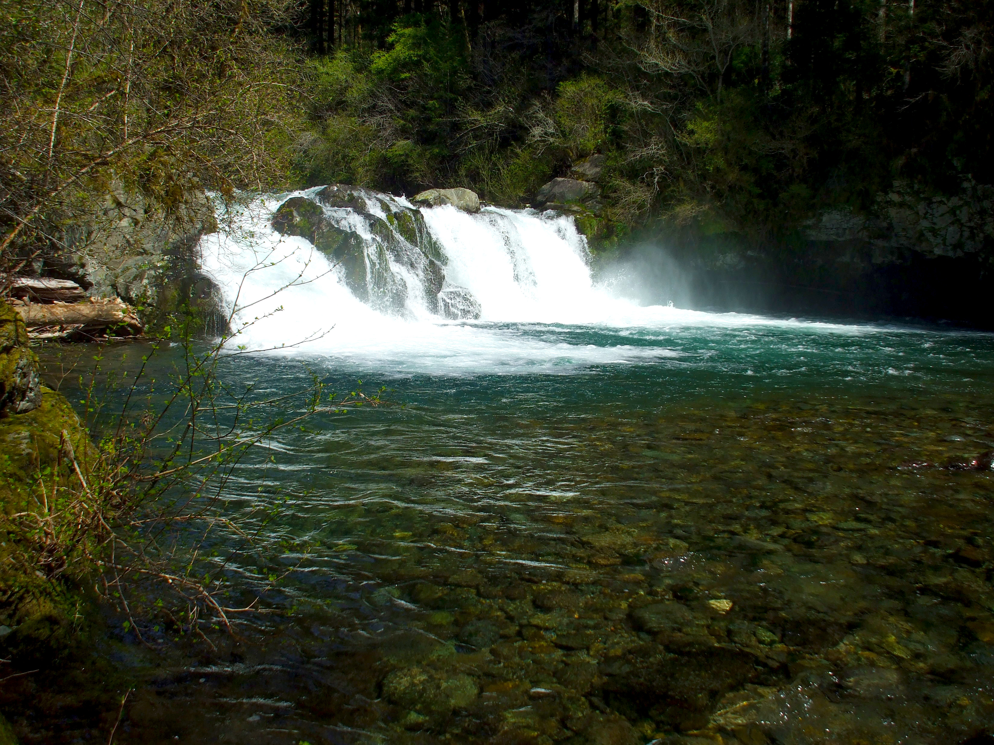
Falls 3 mi Ablove Sunset
Winter 3
untitled-3231.jpg

Good Morning World

Battle Ground Lake State Park - Sunrise
Sunrise at Daybreak

Healy Road in fog
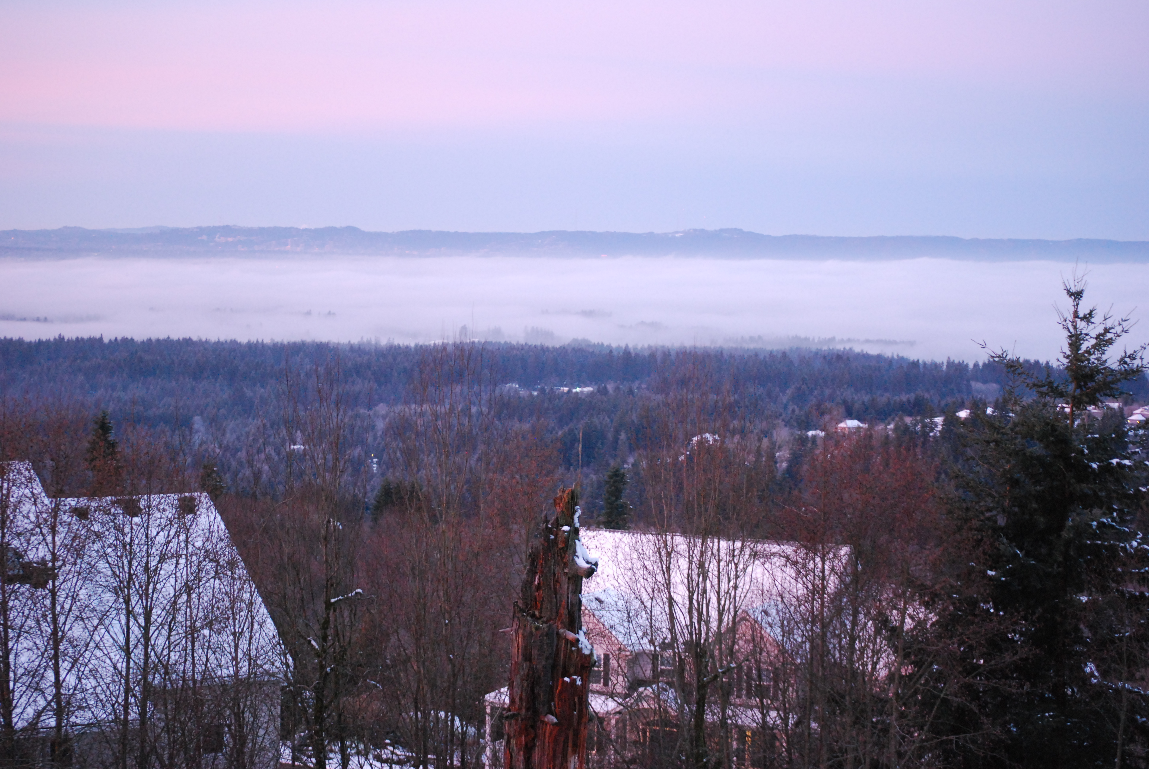
3/365 - Jan 4th, 2009 - Portland View
Northeast Berry Road, NE Berry Rd, Washington, USA Karte
Suchen Sie einen anderen Ort
Nahe Plätze
NE Kaskillah Dr, Battle Ground, WA, USA
Northeast th Street, NE th St, Battle Ground, WA, USA
NE th St, Battle Ground, WA, USA
NE Berlin Rd, Battle Ground, WA, USA
Northeast th Street, NE th St, Battle Ground, WA, USA
Northeast Berlin Road, NE Berlin Rd, Battle Ground, WA, USA
NE th St, Battle Ground, WA, USA
NE nd Ave, Battle Ground, WA, USA
NE Erion Rd, Battle Ground, WA, USA
NE th Cir, Battle Ground, WA, USA
NE th St, Battle Ground, WA, USA
NE Canyon Rd, Battle Ground, WA, USA
NE st St, Yacolt, WA, USA
NE Bridlewood Rd, Battle Ground, WA, USA
NE Allworth Rd, Battle Ground, WA, USA
NE nd Ave, Brush Prairie, WA, USA
Northeast rd Court, NE rd Ct, Battle Ground, WA, USA
NE th Ave, Brush Prairie, WA, USA
NE th Ct, Brush Prairie, WA, USA
Northeast Erickson Road, NE Erickson Rd, Hockinson, WA, USA
Letzte Suche
- Red Dog Mine, AK, USA Sonnenaufgang Sonnenuntergang Zeiten
- Am Bahnhof, Am bhf, Borken, Germany Sonnenaufgang Sonnenuntergang Zeiten
- 4th St E, Sonoma, CA, USA Sonnenaufgang Sonnenuntergang Zeiten
- Oakland Ave, Williamsport, PA, USA Sonnenaufgang Sonnenuntergang Zeiten
- Via Roma, Pieranica CR, Italien Sonnenaufgang Sonnenuntergang Zeiten
- Glockenturm, Grad, Dubrovnik, Kroatien Sonnenaufgang Sonnenuntergang Zeiten
- Trelew, Chubut Province, Argentina Sonnenaufgang Sonnenuntergang Zeiten
- Hartfords Bluff Cir, Mt Pleasant, SC, USA Sonnenaufgang Sonnenuntergang Zeiten
- Kita-ku, Kumamoto, Präfektur Kumamoto, Japan Sonnenaufgang Sonnenuntergang Zeiten
- Pingtan Island, Pingtan County, Fuzhou, China Sonnenaufgang Sonnenuntergang Zeiten