Mount Loudon, Clearwater County, AB T0M, Kanada Sonnenaufgang Sonnenuntergang Zeiten
Location: Kanada > Alberta > Division No. 9 >
Zeitzone:
America/Edmonton
Ortszeit:
2025-06-18 09:59:20
Länge:
-116.445
Breite:
51.9161111
Sonnenaufgang Heute:
05:25:38 AM
Sonnenuntergang Heute:
10:08:35 PM
Tageslänge heute:
16h 42m 57s
Sonnenaufgang morgen:
05:25:46 AM
Sonnenuntergang Morgen:
10:08:53 PM
Tageslänge von morgen:
16h 43m 7s
Alle Termine anzeigen
| Datum | Sonnenaufgang | Sonnenuntergang | Tageslänge |
|---|---|---|---|
| 2025-01-01 | 08:53:03 AM | 04:46:55 PM | 7h 53m 52s |
| 2025-01-02 | 08:52:49 AM | 04:48:03 PM | 7h 55m 14s |
| 2025-01-03 | 08:52:32 AM | 04:49:15 PM | 7h 56m 43s |
| 2025-01-04 | 08:52:12 AM | 04:50:28 PM | 7h 58m 16s |
| 2025-01-05 | 08:51:48 AM | 04:51:44 PM | 7h 59m 56s |
| 2025-01-06 | 08:51:21 AM | 04:53:03 PM | 8h 1m 42s |
| 2025-01-07 | 08:50:51 AM | 04:54:24 PM | 8h 3m 33s |
| 2025-01-08 | 08:50:18 AM | 04:55:47 PM | 8h 5m 29s |
| 2025-01-09 | 08:49:41 AM | 04:57:12 PM | 8h 7m 31s |
| 2025-01-10 | 08:49:01 AM | 04:58:39 PM | 8h 9m 38s |
| 2025-01-11 | 08:48:19 AM | 05:00:08 PM | 8h 11m 49s |
| 2025-01-12 | 08:47:33 AM | 05:01:38 PM | 8h 14m 5s |
| 2025-01-13 | 08:46:44 AM | 05:03:11 PM | 8h 16m 27s |
| 2025-01-14 | 08:45:52 AM | 05:04:45 PM | 8h 18m 53s |
| 2025-01-15 | 08:44:57 AM | 05:06:21 PM | 8h 21m 24s |
| 2025-01-16 | 08:43:59 AM | 05:07:58 PM | 8h 23m 59s |
| 2025-01-17 | 08:42:59 AM | 05:09:36 PM | 8h 26m 37s |
| 2025-01-18 | 08:41:55 AM | 05:11:16 PM | 8h 29m 21s |
| 2025-01-19 | 08:40:49 AM | 05:12:57 PM | 8h 32m 8s |
| 2025-01-20 | 08:39:41 AM | 05:14:39 PM | 8h 34m 58s |
| 2025-01-21 | 08:38:29 AM | 05:16:23 PM | 8h 37m 54s |
| 2025-01-22 | 08:37:16 AM | 05:18:07 PM | 8h 40m 51s |
| 2025-01-23 | 08:35:59 AM | 05:19:52 PM | 8h 43m 53s |
| 2025-01-24 | 08:34:41 AM | 05:21:38 PM | 8h 46m 57s |
| 2025-01-25 | 08:33:19 AM | 05:23:25 PM | 8h 50m 6s |
| 2025-01-26 | 08:31:56 AM | 05:25:13 PM | 8h 53m 17s |
| 2025-01-27 | 08:30:30 AM | 05:27:01 PM | 8h 56m 31s |
| 2025-01-28 | 08:29:03 AM | 05:28:50 PM | 8h 59m 47s |
| 2025-01-29 | 08:27:32 AM | 05:30:39 PM | 9h 3m 7s |
| 2025-01-30 | 08:26:00 AM | 05:32:29 PM | 9h 6m 29s |
| 2025-01-31 | 08:24:26 AM | 05:34:19 PM | 9h 9m 53s |
| 2025-02-01 | 08:22:50 AM | 05:36:09 PM | 9h 13m 19s |
| 2025-02-02 | 08:21:12 AM | 05:38:00 PM | 9h 16m 48s |
| 2025-02-03 | 08:19:32 AM | 05:39:51 PM | 9h 20m 19s |
| 2025-02-04 | 08:17:50 AM | 05:41:42 PM | 9h 23m 52s |
| 2025-02-05 | 08:16:07 AM | 05:43:33 PM | 9h 27m 26s |
| 2025-02-06 | 08:14:22 AM | 05:45:25 PM | 9h 31m 3s |
| 2025-02-07 | 08:12:35 AM | 05:47:16 PM | 9h 34m 41s |
| 2025-02-08 | 08:10:46 AM | 05:49:08 PM | 9h 38m 22s |
| 2025-02-09 | 08:08:56 AM | 05:51:00 PM | 9h 42m 4s |
| 2025-02-10 | 08:07:05 AM | 05:52:51 PM | 9h 45m 46s |
| 2025-02-11 | 08:05:12 AM | 05:54:43 PM | 9h 49m 31s |
| 2025-02-12 | 08:03:18 AM | 05:56:34 PM | 9h 53m 16s |
| 2025-02-13 | 08:01:22 AM | 05:58:25 PM | 9h 57m 3s |
| 2025-02-14 | 07:59:25 AM | 06:00:16 PM | 10h 0m 51s |
| 2025-02-15 | 07:57:26 AM | 06:02:07 PM | 10h 4m 41s |
| 2025-02-16 | 07:55:27 AM | 06:03:58 PM | 10h 8m 31s |
| 2025-02-17 | 07:53:26 AM | 06:05:49 PM | 10h 12m 23s |
| 2025-02-18 | 07:51:24 AM | 06:07:39 PM | 10h 16m 15s |
| 2025-02-19 | 07:49:21 AM | 06:09:30 PM | 10h 20m 9s |
| 2025-02-20 | 07:47:17 AM | 06:11:19 PM | 10h 24m 2s |
| 2025-02-21 | 07:45:12 AM | 06:13:09 PM | 10h 27m 57s |
| 2025-02-22 | 07:43:06 AM | 06:14:59 PM | 10h 31m 53s |
| 2025-02-23 | 07:40:59 AM | 06:16:48 PM | 10h 35m 49s |
| 2025-02-24 | 07:38:51 AM | 06:18:37 PM | 10h 39m 46s |
| 2025-02-25 | 07:36:42 AM | 06:20:25 PM | 10h 43m 43s |
| 2025-02-26 | 07:34:33 AM | 06:22:14 PM | 10h 47m 41s |
| 2025-02-27 | 07:32:23 AM | 06:24:02 PM | 10h 51m 39s |
| 2025-02-28 | 07:30:12 AM | 06:25:50 PM | 10h 55m 38s |
| 2025-03-01 | 07:28:00 AM | 06:27:37 PM | 10h 59m 37s |
| 2025-03-02 | 07:25:47 AM | 06:29:24 PM | 11h 3m 37s |
| 2025-03-03 | 07:23:34 AM | 06:31:11 PM | 11h 7m 37s |
| 2025-03-04 | 07:21:21 AM | 06:32:58 PM | 11h 11m 37s |
| 2025-03-05 | 07:19:06 AM | 06:34:44 PM | 11h 15m 38s |
| 2025-03-06 | 07:16:52 AM | 06:36:30 PM | 11h 19m 38s |
| 2025-03-07 | 07:14:36 AM | 06:38:16 PM | 11h 23m 40s |
| 2025-03-08 | 07:12:21 AM | 06:40:02 PM | 11h 27m 41s |
| 2025-03-09 | 08:10:10 AM | 07:41:43 PM | 11h 31m 33s |
| 2025-03-10 | 08:07:53 AM | 07:43:28 PM | 11h 35m 35s |
| 2025-03-11 | 08:05:37 AM | 07:45:13 PM | 11h 39m 36s |
| 2025-03-12 | 08:03:19 AM | 07:46:58 PM | 11h 43m 39s |
| 2025-03-13 | 08:01:02 AM | 07:48:42 PM | 11h 47m 40s |
| 2025-03-14 | 07:58:44 AM | 07:50:26 PM | 11h 51m 42s |
| 2025-03-15 | 07:56:26 AM | 07:52:10 PM | 11h 55m 44s |
| 2025-03-16 | 07:54:07 AM | 07:53:54 PM | 11h 59m 47s |
| 2025-03-17 | 07:51:49 AM | 07:55:38 PM | 12h 3m 49s |
| 2025-03-18 | 07:49:30 AM | 07:57:21 PM | 12h 7m 51s |
| 2025-03-19 | 07:47:12 AM | 07:59:05 PM | 12h 11m 53s |
| 2025-03-20 | 07:44:53 AM | 08:00:48 PM | 12h 15m 55s |
| 2025-03-21 | 07:42:34 AM | 08:02:31 PM | 12h 19m 57s |
| 2025-03-22 | 07:40:15 AM | 08:04:14 PM | 12h 23m 59s |
| 2025-03-23 | 07:37:56 AM | 08:05:57 PM | 12h 28m 1s |
| 2025-03-24 | 07:35:37 AM | 08:07:39 PM | 12h 32m 2s |
| 2025-03-25 | 07:33:18 AM | 08:09:22 PM | 12h 36m 4s |
| 2025-03-26 | 07:30:59 AM | 08:11:04 PM | 12h 40m 5s |
| 2025-03-27 | 07:28:41 AM | 08:12:47 PM | 12h 44m 6s |
| 2025-03-28 | 07:26:22 AM | 08:14:29 PM | 12h 48m 7s |
| 2025-03-29 | 07:24:04 AM | 08:16:12 PM | 12h 52m 8s |
| 2025-03-30 | 07:21:46 AM | 08:17:54 PM | 12h 56m 8s |
| 2025-03-31 | 07:19:28 AM | 08:19:36 PM | 13h 0m 8s |
| 2025-04-01 | 07:17:11 AM | 08:21:18 PM | 13h 4m 7s |
| 2025-04-02 | 07:14:53 AM | 08:23:01 PM | 13h 8m 8s |
| 2025-04-03 | 07:12:36 AM | 08:24:43 PM | 13h 12m 7s |
| 2025-04-04 | 07:10:20 AM | 08:26:25 PM | 13h 16m 5s |
| 2025-04-05 | 07:08:04 AM | 08:28:07 PM | 13h 20m 3s |
| 2025-04-06 | 07:05:48 AM | 08:29:49 PM | 13h 24m 1s |
| 2025-04-07 | 07:03:33 AM | 08:31:31 PM | 13h 27m 58s |
| 2025-04-08 | 07:01:18 AM | 08:33:13 PM | 13h 31m 55s |
| 2025-04-09 | 06:59:04 AM | 08:34:55 PM | 13h 35m 51s |
| 2025-04-10 | 06:56:50 AM | 08:36:37 PM | 13h 39m 47s |
| 2025-04-11 | 06:54:37 AM | 08:38:19 PM | 13h 43m 42s |
| 2025-04-12 | 06:52:25 AM | 08:40:01 PM | 13h 47m 36s |
| 2025-04-13 | 06:50:13 AM | 08:41:44 PM | 13h 51m 31s |
| 2025-04-14 | 06:48:02 AM | 08:43:26 PM | 13h 55m 24s |
| 2025-04-15 | 06:45:52 AM | 08:45:08 PM | 13h 59m 16s |
| 2025-04-16 | 06:43:42 AM | 08:46:50 PM | 14h 3m 8s |
| 2025-04-17 | 06:41:34 AM | 08:48:32 PM | 14h 6m 58s |
| 2025-04-18 | 06:39:26 AM | 08:50:14 PM | 14h 10m 48s |
| 2025-04-19 | 06:37:19 AM | 08:51:55 PM | 14h 14m 36s |
| 2025-04-20 | 06:35:13 AM | 08:53:37 PM | 14h 18m 24s |
| 2025-04-21 | 06:33:08 AM | 08:55:19 PM | 14h 22m 11s |
| 2025-04-22 | 06:31:04 AM | 08:57:01 PM | 14h 25m 57s |
| 2025-04-23 | 06:29:01 AM | 08:58:42 PM | 14h 29m 41s |
| 2025-04-24 | 06:26:59 AM | 09:00:24 PM | 14h 33m 25s |
| 2025-04-25 | 06:24:58 AM | 09:02:05 PM | 14h 37m 7s |
| 2025-04-26 | 06:22:59 AM | 09:03:46 PM | 14h 40m 47s |
| 2025-04-27 | 06:21:00 AM | 09:05:27 PM | 14h 44m 27s |
| 2025-04-28 | 06:19:03 AM | 09:07:07 PM | 14h 48m 4s |
| 2025-04-29 | 06:17:07 AM | 09:08:48 PM | 14h 51m 41s |
| 2025-04-30 | 06:15:13 AM | 09:10:28 PM | 14h 55m 15s |
| 2025-05-01 | 06:13:20 AM | 09:12:08 PM | 14h 58m 48s |
| 2025-05-02 | 06:11:28 AM | 09:13:47 PM | 15h 2m 19s |
| 2025-05-03 | 06:09:38 AM | 09:15:26 PM | 15h 5m 48s |
| 2025-05-04 | 06:07:49 AM | 09:17:05 PM | 15h 9m 16s |
| 2025-05-05 | 06:06:02 AM | 09:18:43 PM | 15h 12m 41s |
| 2025-05-06 | 06:04:17 AM | 09:20:21 PM | 15h 16m 4s |
| 2025-05-07 | 06:02:33 AM | 09:21:58 PM | 15h 19m 25s |
| 2025-05-08 | 06:00:51 AM | 09:23:35 PM | 15h 22m 44s |
| 2025-05-09 | 05:59:11 AM | 09:25:11 PM | 15h 26m 0s |
| 2025-05-10 | 05:57:32 AM | 09:26:46 PM | 15h 29m 14s |
| 2025-05-11 | 05:55:56 AM | 09:28:21 PM | 15h 32m 25s |
| 2025-05-12 | 05:54:21 AM | 09:29:54 PM | 15h 35m 33s |
| 2025-05-13 | 05:52:48 AM | 09:31:27 PM | 15h 38m 39s |
| 2025-05-14 | 05:51:18 AM | 09:32:59 PM | 15h 41m 41s |
| 2025-05-15 | 05:49:49 AM | 09:34:30 PM | 15h 44m 41s |
| 2025-05-16 | 05:48:23 AM | 09:36:01 PM | 15h 47m 38s |
| 2025-05-17 | 05:46:59 AM | 09:37:30 PM | 15h 50m 31s |
| 2025-05-18 | 05:45:37 AM | 09:38:57 PM | 15h 53m 20s |
| 2025-05-19 | 05:44:17 AM | 09:40:24 PM | 15h 56m 7s |
| 2025-05-20 | 05:42:59 AM | 09:41:50 PM | 15h 58m 51s |
| 2025-05-21 | 05:41:44 AM | 09:43:14 PM | 16h 1m 30s |
| 2025-05-22 | 05:40:32 AM | 09:44:36 PM | 16h 4m 4s |
| 2025-05-23 | 05:39:22 AM | 09:45:58 PM | 16h 6m 36s |
| 2025-05-24 | 05:38:14 AM | 09:47:17 PM | 16h 9m 3s |
| 2025-05-25 | 05:37:09 AM | 09:48:35 PM | 16h 11m 26s |
| 2025-05-26 | 05:36:07 AM | 09:49:52 PM | 16h 13m 45s |
| 2025-05-27 | 05:35:07 AM | 09:51:06 PM | 16h 15m 59s |
| 2025-05-28 | 05:34:10 AM | 09:52:19 PM | 16h 18m 9s |
| 2025-05-29 | 05:33:16 AM | 09:53:30 PM | 16h 20m 14s |
| 2025-05-30 | 05:32:25 AM | 09:54:39 PM | 16h 22m 14s |
| 2025-05-31 | 05:31:36 AM | 09:55:46 PM | 16h 24m 10s |
| 2025-06-01 | 05:30:51 AM | 09:56:51 PM | 16h 26m 0s |
| 2025-06-02 | 05:30:08 AM | 09:57:53 PM | 16h 27m 45s |
| 2025-06-03 | 05:29:28 AM | 09:58:54 PM | 16h 29m 26s |
| 2025-06-04 | 05:28:52 AM | 09:59:52 PM | 16h 31m 0s |
| 2025-06-05 | 05:28:18 AM | 10:00:47 PM | 16h 32m 29s |
| 2025-06-06 | 05:27:47 AM | 10:01:40 PM | 16h 33m 53s |
| 2025-06-07 | 05:27:20 AM | 10:02:31 PM | 16h 35m 11s |
| 2025-06-08 | 05:26:55 AM | 10:03:19 PM | 16h 36m 24s |
| 2025-06-09 | 05:26:34 AM | 10:04:04 PM | 16h 37m 30s |
| 2025-06-10 | 05:26:15 AM | 10:04:47 PM | 16h 38m 32s |
| 2025-06-11 | 05:26:00 AM | 10:05:27 PM | 16h 39m 27s |
| 2025-06-12 | 05:25:48 AM | 10:06:04 PM | 16h 40m 16s |
| 2025-06-13 | 05:25:39 AM | 10:06:39 PM | 16h 41m 0s |
| 2025-06-14 | 05:25:34 AM | 10:07:10 PM | 16h 41m 36s |
| 2025-06-15 | 05:25:31 AM | 10:07:38 PM | 16h 42m 7s |
| 2025-06-16 | 05:25:32 AM | 10:08:04 PM | 16h 42m 32s |
| 2025-06-17 | 05:25:35 AM | 10:08:26 PM | 16h 42m 51s |
| 2025-06-18 | 05:25:42 AM | 10:08:46 PM | 16h 43m 4s |
| 2025-06-19 | 05:25:52 AM | 10:09:02 PM | 16h 43m 10s |
| 2025-06-20 | 05:26:05 AM | 10:09:15 PM | 16h 43m 10s |
| 2025-06-21 | 05:26:21 AM | 10:09:25 PM | 16h 43m 4s |
| 2025-06-22 | 05:26:40 AM | 10:09:32 PM | 16h 42m 52s |
| 2025-06-23 | 05:27:02 AM | 10:09:36 PM | 16h 42m 34s |
| 2025-06-24 | 05:27:27 AM | 10:09:36 PM | 16h 42m 9s |
| 2025-06-25 | 05:27:55 AM | 10:09:33 PM | 16h 41m 38s |
| 2025-06-26 | 05:28:26 AM | 10:09:27 PM | 16h 41m 1s |
| 2025-06-27 | 05:28:59 AM | 10:09:18 PM | 16h 40m 19s |
| 2025-06-28 | 05:29:36 AM | 10:09:06 PM | 16h 39m 30s |
| 2025-06-29 | 05:30:15 AM | 10:08:51 PM | 16h 38m 36s |
| 2025-06-30 | 05:30:57 AM | 10:08:32 PM | 16h 37m 35s |
| 2025-07-01 | 05:31:41 AM | 10:08:10 PM | 16h 36m 29s |
| 2025-07-02 | 05:32:28 AM | 10:07:45 PM | 16h 35m 17s |
| 2025-07-03 | 05:33:18 AM | 10:07:17 PM | 16h 33m 59s |
| 2025-07-04 | 05:34:10 AM | 10:06:46 PM | 16h 32m 36s |
| 2025-07-05 | 05:35:04 AM | 10:06:12 PM | 16h 31m 8s |
| 2025-07-06 | 05:36:01 AM | 10:05:34 PM | 16h 29m 33s |
| 2025-07-07 | 05:36:59 AM | 10:04:54 PM | 16h 27m 55s |
| 2025-07-08 | 05:38:00 AM | 10:04:11 PM | 16h 26m 11s |
| 2025-07-09 | 05:39:04 AM | 10:03:24 PM | 16h 24m 20s |
| 2025-07-10 | 05:40:09 AM | 10:02:35 PM | 16h 22m 26s |
| 2025-07-11 | 05:41:16 AM | 10:01:43 PM | 16h 20m 27s |
| 2025-07-12 | 05:42:25 AM | 10:00:48 PM | 16h 18m 23s |
| 2025-07-13 | 05:43:35 AM | 09:59:51 PM | 16h 16m 16s |
| 2025-07-14 | 05:44:48 AM | 09:58:50 PM | 16h 14m 2s |
| 2025-07-15 | 05:46:02 AM | 09:57:47 PM | 16h 11m 45s |
| 2025-07-16 | 05:47:18 AM | 09:56:42 PM | 16h 9m 24s |
| 2025-07-17 | 05:48:35 AM | 09:55:33 PM | 16h 6m 58s |
| 2025-07-18 | 05:49:54 AM | 09:54:22 PM | 16h 4m 28s |
| 2025-07-19 | 05:51:14 AM | 09:53:09 PM | 16h 1m 55s |
| 2025-07-20 | 05:52:36 AM | 09:51:53 PM | 15h 59m 17s |
| 2025-07-21 | 05:53:58 AM | 09:50:35 PM | 15h 56m 37s |
| 2025-07-22 | 05:55:22 AM | 09:49:15 PM | 15h 53m 53s |
| 2025-07-23 | 05:56:47 AM | 09:47:52 PM | 15h 51m 5s |
| 2025-07-24 | 05:58:13 AM | 09:46:27 PM | 15h 48m 14s |
| 2025-07-25 | 05:59:41 AM | 09:44:59 PM | 15h 45m 18s |
| 2025-07-26 | 06:01:09 AM | 09:43:30 PM | 15h 42m 21s |
| 2025-07-27 | 06:02:37 AM | 09:41:59 PM | 15h 39m 22s |
| 2025-07-28 | 06:04:07 AM | 09:40:25 PM | 15h 36m 18s |
| 2025-07-29 | 06:05:38 AM | 09:38:49 PM | 15h 33m 11s |
| 2025-07-30 | 06:07:09 AM | 09:37:12 PM | 15h 30m 3s |
| 2025-07-31 | 06:08:41 AM | 09:35:33 PM | 15h 26m 52s |
| 2025-08-01 | 06:10:13 AM | 09:33:52 PM | 15h 23m 39s |
| 2025-08-02 | 06:11:46 AM | 09:32:09 PM | 15h 20m 23s |
| 2025-08-03 | 06:13:20 AM | 09:30:24 PM | 15h 17m 4s |
| 2025-08-04 | 06:14:54 AM | 09:28:38 PM | 15h 13m 44s |
| 2025-08-05 | 06:16:28 AM | 09:26:50 PM | 15h 10m 22s |
| 2025-08-06 | 06:18:03 AM | 09:25:00 PM | 15h 6m 57s |
| 2025-08-07 | 06:19:38 AM | 09:23:09 PM | 15h 3m 31s |
| 2025-08-08 | 06:21:14 AM | 09:21:17 PM | 15h 0m 3s |
| 2025-08-09 | 06:22:50 AM | 09:19:23 PM | 14h 56m 33s |
| 2025-08-10 | 06:24:26 AM | 09:17:27 PM | 14h 53m 1s |
| 2025-08-11 | 06:26:02 AM | 09:15:30 PM | 14h 49m 28s |
| 2025-08-12 | 06:27:39 AM | 09:13:32 PM | 14h 45m 53s |
| 2025-08-13 | 06:29:15 AM | 09:11:33 PM | 14h 42m 18s |
| 2025-08-14 | 06:30:52 AM | 09:09:33 PM | 14h 38m 41s |
| 2025-08-15 | 06:32:29 AM | 09:07:31 PM | 14h 35m 2s |
| 2025-08-16 | 06:34:06 AM | 09:05:28 PM | 14h 31m 22s |
| 2025-08-17 | 06:35:43 AM | 09:03:24 PM | 14h 27m 41s |
| 2025-08-18 | 06:37:21 AM | 09:01:19 PM | 14h 23m 58s |
| 2025-08-19 | 06:38:58 AM | 08:59:13 PM | 14h 20m 15s |
| 2025-08-20 | 06:40:35 AM | 08:57:06 PM | 14h 16m 31s |
| 2025-08-21 | 06:42:13 AM | 08:54:58 PM | 14h 12m 45s |
| 2025-08-22 | 06:43:50 AM | 08:52:49 PM | 14h 8m 59s |
| 2025-08-23 | 06:45:27 AM | 08:50:40 PM | 14h 5m 13s |
| 2025-08-24 | 06:47:05 AM | 08:48:29 PM | 14h 1m 24s |
| 2025-08-25 | 06:48:42 AM | 08:46:18 PM | 13h 57m 36s |
| 2025-08-26 | 06:50:19 AM | 08:44:06 PM | 13h 53m 47s |
| 2025-08-27 | 06:51:57 AM | 08:41:53 PM | 13h 49m 56s |
| 2025-08-28 | 06:53:34 AM | 08:39:39 PM | 13h 46m 5s |
| 2025-08-29 | 06:55:11 AM | 08:37:25 PM | 13h 42m 14s |
| 2025-08-30 | 06:56:48 AM | 08:35:11 PM | 13h 38m 23s |
| 2025-08-31 | 06:58:26 AM | 08:32:55 PM | 13h 34m 29s |
| 2025-09-01 | 07:00:03 AM | 08:30:39 PM | 13h 30m 36s |
| 2025-09-02 | 07:01:40 AM | 08:28:23 PM | 13h 26m 43s |
| 2025-09-03 | 07:03:17 AM | 08:26:06 PM | 13h 22m 49s |
| 2025-09-04 | 07:04:54 AM | 08:23:49 PM | 13h 18m 55s |
| 2025-09-05 | 07:06:31 AM | 08:21:31 PM | 13h 15m 0s |
| 2025-09-06 | 07:08:08 AM | 08:19:13 PM | 13h 11m 5s |
| 2025-09-07 | 07:09:46 AM | 08:16:55 PM | 13h 7m 9s |
| 2025-09-08 | 07:11:23 AM | 08:14:36 PM | 13h 3m 13s |
| 2025-09-09 | 07:13:00 AM | 08:12:17 PM | 12h 59m 17s |
| 2025-09-10 | 07:14:37 AM | 08:09:57 PM | 12h 55m 20s |
| 2025-09-11 | 07:16:14 AM | 08:07:38 PM | 12h 51m 24s |
| 2025-09-12 | 07:17:51 AM | 08:05:18 PM | 12h 47m 27s |
| 2025-09-13 | 07:19:29 AM | 08:02:58 PM | 12h 43m 29s |
| 2025-09-14 | 07:21:06 AM | 08:00:38 PM | 12h 39m 32s |
| 2025-09-15 | 07:22:43 AM | 07:58:17 PM | 12h 35m 34s |
| 2025-09-16 | 07:24:21 AM | 07:55:57 PM | 12h 31m 36s |
| 2025-09-17 | 07:25:58 AM | 07:53:37 PM | 12h 27m 39s |
| 2025-09-18 | 07:27:36 AM | 07:51:16 PM | 12h 23m 40s |
| 2025-09-19 | 07:29:14 AM | 07:48:56 PM | 12h 19m 42s |
| 2025-09-20 | 07:30:51 AM | 07:46:35 PM | 12h 15m 44s |
| 2025-09-21 | 07:32:29 AM | 07:44:15 PM | 12h 11m 46s |
| 2025-09-22 | 07:34:07 AM | 07:41:55 PM | 12h 7m 48s |
| 2025-09-23 | 07:35:46 AM | 07:39:35 PM | 12h 3m 49s |
| 2025-09-24 | 07:37:24 AM | 07:37:15 PM | 11h 59m 51s |
| 2025-09-25 | 07:39:03 AM | 07:34:55 PM | 11h 55m 52s |
| 2025-09-26 | 07:40:42 AM | 07:32:35 PM | 11h 51m 53s |
| 2025-09-27 | 07:42:21 AM | 07:30:16 PM | 11h 47m 55s |
| 2025-09-28 | 07:44:00 AM | 07:27:57 PM | 11h 43m 57s |
| 2025-09-29 | 07:45:39 AM | 07:25:38 PM | 11h 39m 59s |
| 2025-09-30 | 07:47:19 AM | 07:23:20 PM | 11h 36m 1s |
| 2025-10-01 | 07:48:59 AM | 07:21:01 PM | 11h 32m 2s |
| 2025-10-02 | 07:50:39 AM | 07:18:44 PM | 11h 28m 5s |
| 2025-10-03 | 07:52:20 AM | 07:16:26 PM | 11h 24m 6s |
| 2025-10-04 | 07:54:00 AM | 07:14:10 PM | 11h 20m 10s |
| 2025-10-05 | 07:55:41 AM | 07:11:53 PM | 11h 16m 12s |
| 2025-10-06 | 07:57:23 AM | 07:09:37 PM | 11h 12m 14s |
| 2025-10-07 | 07:59:04 AM | 07:07:22 PM | 11h 8m 18s |
| 2025-10-08 | 08:00:46 AM | 07:05:07 PM | 11h 4m 21s |
| 2025-10-09 | 08:02:28 AM | 07:02:53 PM | 11h 0m 25s |
| 2025-10-10 | 08:04:11 AM | 07:00:40 PM | 10h 56m 29s |
| 2025-10-11 | 08:05:53 AM | 06:58:27 PM | 10h 52m 34s |
| 2025-10-12 | 08:07:36 AM | 06:56:15 PM | 10h 48m 39s |
| 2025-10-13 | 08:09:20 AM | 06:54:04 PM | 10h 44m 44s |
| 2025-10-14 | 08:11:03 AM | 06:51:53 PM | 10h 40m 50s |
| 2025-10-15 | 08:12:47 AM | 06:49:44 PM | 10h 36m 57s |
| 2025-10-16 | 08:14:32 AM | 06:47:35 PM | 10h 33m 3s |
| 2025-10-17 | 08:16:16 AM | 06:45:27 PM | 10h 29m 11s |
| 2025-10-18 | 08:18:01 AM | 06:43:20 PM | 10h 25m 19s |
| 2025-10-19 | 08:19:46 AM | 06:41:14 PM | 10h 21m 28s |
| 2025-10-20 | 08:21:32 AM | 06:39:09 PM | 10h 17m 37s |
| 2025-10-21 | 08:23:17 AM | 06:37:06 PM | 10h 13m 49s |
| 2025-10-22 | 08:25:03 AM | 06:35:03 PM | 10h 10m 0s |
| 2025-10-23 | 08:26:50 AM | 06:33:01 PM | 10h 6m 11s |
| 2025-10-24 | 08:28:36 AM | 06:31:01 PM | 10h 2m 25s |
| 2025-10-25 | 08:30:23 AM | 06:29:02 PM | 9h 58m 39s |
| 2025-10-26 | 08:32:10 AM | 06:27:04 PM | 9h 54m 54s |
| 2025-10-27 | 08:33:57 AM | 06:25:07 PM | 9h 51m 10s |
| 2025-10-28 | 08:35:44 AM | 06:23:12 PM | 9h 47m 28s |
| 2025-10-29 | 08:37:31 AM | 06:21:19 PM | 9h 43m 48s |
| 2025-10-30 | 08:39:18 AM | 06:19:26 PM | 9h 40m 8s |
| 2025-10-31 | 08:41:06 AM | 06:17:36 PM | 9h 36m 30s |
| 2025-11-01 | 08:42:53 AM | 06:15:46 PM | 9h 32m 53s |
| 2025-11-02 | 07:44:45 AM | 05:13:54 PM | 9h 29m 9s |
| 2025-11-03 | 07:46:33 AM | 05:12:09 PM | 9h 25m 36s |
| 2025-11-04 | 07:48:20 AM | 05:10:25 PM | 9h 22m 5s |
| 2025-11-05 | 07:50:07 AM | 05:08:42 PM | 9h 18m 35s |
| 2025-11-06 | 07:51:55 AM | 05:07:02 PM | 9h 15m 7s |
| 2025-11-07 | 07:53:42 AM | 05:05:23 PM | 9h 11m 41s |
| 2025-11-08 | 07:55:28 AM | 05:03:46 PM | 9h 8m 18s |
| 2025-11-09 | 07:57:15 AM | 05:02:12 PM | 9h 4m 57s |
| 2025-11-10 | 07:59:01 AM | 05:00:39 PM | 9h 1m 38s |
| 2025-11-11 | 08:00:46 AM | 04:59:09 PM | 8h 58m 23s |
| 2025-11-12 | 08:02:32 AM | 04:57:40 PM | 8h 55m 8s |
| 2025-11-13 | 08:04:16 AM | 04:56:14 PM | 8h 51m 58s |
| 2025-11-14 | 08:06:00 AM | 04:54:50 PM | 8h 48m 50s |
| 2025-11-15 | 08:07:44 AM | 04:53:29 PM | 8h 45m 45s |
| 2025-11-16 | 08:09:27 AM | 04:52:09 PM | 8h 42m 42s |
| 2025-11-17 | 08:11:09 AM | 04:50:53 PM | 8h 39m 44s |
| 2025-11-18 | 08:12:50 AM | 04:49:38 PM | 8h 36m 48s |
| 2025-11-19 | 08:14:30 AM | 04:48:27 PM | 8h 33m 57s |
| 2025-11-20 | 08:16:09 AM | 04:47:18 PM | 8h 31m 9s |
| 2025-11-21 | 08:17:47 AM | 04:46:11 PM | 8h 28m 24s |
| 2025-11-22 | 08:19:24 AM | 04:45:08 PM | 8h 25m 44s |
| 2025-11-23 | 08:21:00 AM | 04:44:07 PM | 8h 23m 7s |
| 2025-11-24 | 08:22:34 AM | 04:43:09 PM | 8h 20m 35s |
| 2025-11-25 | 08:24:07 AM | 04:42:14 PM | 8h 18m 7s |
| 2025-11-26 | 08:25:39 AM | 04:41:21 PM | 8h 15m 42s |
| 2025-11-27 | 08:27:09 AM | 04:40:32 PM | 8h 13m 23s |
| 2025-11-28 | 08:28:37 AM | 04:39:46 PM | 8h 11m 9s |
| 2025-11-29 | 08:30:03 AM | 04:39:03 PM | 8h 9m 0s |
| 2025-11-30 | 08:31:28 AM | 04:38:23 PM | 8h 6m 55s |
| 2025-12-01 | 08:32:51 AM | 04:37:46 PM | 8h 4m 55s |
| 2025-12-02 | 08:34:12 AM | 04:37:13 PM | 8h 3m 1s |
| 2025-12-03 | 08:35:30 AM | 04:36:43 PM | 8h 1m 13s |
| 2025-12-04 | 08:36:47 AM | 04:36:16 PM | 7h 59m 29s |
| 2025-12-05 | 08:38:01 AM | 04:35:52 PM | 7h 57m 51s |
| 2025-12-06 | 08:39:13 AM | 04:35:32 PM | 7h 56m 19s |
| 2025-12-07 | 08:40:22 AM | 04:35:15 PM | 7h 54m 53s |
| 2025-12-08 | 08:41:29 AM | 04:35:02 PM | 7h 53m 33s |
| 2025-12-09 | 08:42:34 AM | 04:34:52 PM | 7h 52m 18s |
| 2025-12-10 | 08:43:35 AM | 04:34:45 PM | 7h 51m 10s |
| 2025-12-11 | 08:44:34 AM | 04:34:42 PM | 7h 50m 8s |
| 2025-12-12 | 08:45:30 AM | 04:34:43 PM | 7h 49m 13s |
| 2025-12-13 | 08:46:24 AM | 04:34:47 PM | 7h 48m 23s |
| 2025-12-14 | 08:47:14 AM | 04:34:54 PM | 7h 47m 40s |
| 2025-12-15 | 08:48:01 AM | 04:35:05 PM | 7h 47m 4s |
| 2025-12-16 | 08:48:45 AM | 04:35:19 PM | 7h 46m 34s |
| 2025-12-17 | 08:49:27 AM | 04:35:37 PM | 7h 46m 10s |
| 2025-12-18 | 08:50:05 AM | 04:35:58 PM | 7h 45m 53s |
| 2025-12-19 | 08:50:39 AM | 04:36:23 PM | 7h 45m 44s |
| 2025-12-20 | 08:51:11 AM | 04:36:51 PM | 7h 45m 40s |
| 2025-12-21 | 08:51:39 AM | 04:37:23 PM | 7h 45m 44s |
| 2025-12-22 | 08:52:04 AM | 04:37:58 PM | 7h 45m 54s |
| 2025-12-23 | 08:52:25 AM | 04:38:36 PM | 7h 46m 11s |
| 2025-12-24 | 08:52:43 AM | 04:39:17 PM | 7h 46m 34s |
| 2025-12-25 | 08:52:58 AM | 04:40:02 PM | 7h 47m 4s |
| 2025-12-26 | 08:53:09 AM | 04:40:49 PM | 7h 47m 40s |
| 2025-12-27 | 08:53:17 AM | 04:41:40 PM | 7h 48m 23s |
| 2025-12-28 | 08:53:22 AM | 04:42:34 PM | 7h 49m 12s |
| 2025-12-29 | 08:53:23 AM | 04:43:31 PM | 7h 50m 8s |
| 2025-12-30 | 08:53:20 AM | 04:44:31 PM | 7h 51m 11s |
| 2025-12-31 | 08:53:14 AM | 04:45:33 PM | 7h 52m 19s |
Fotos
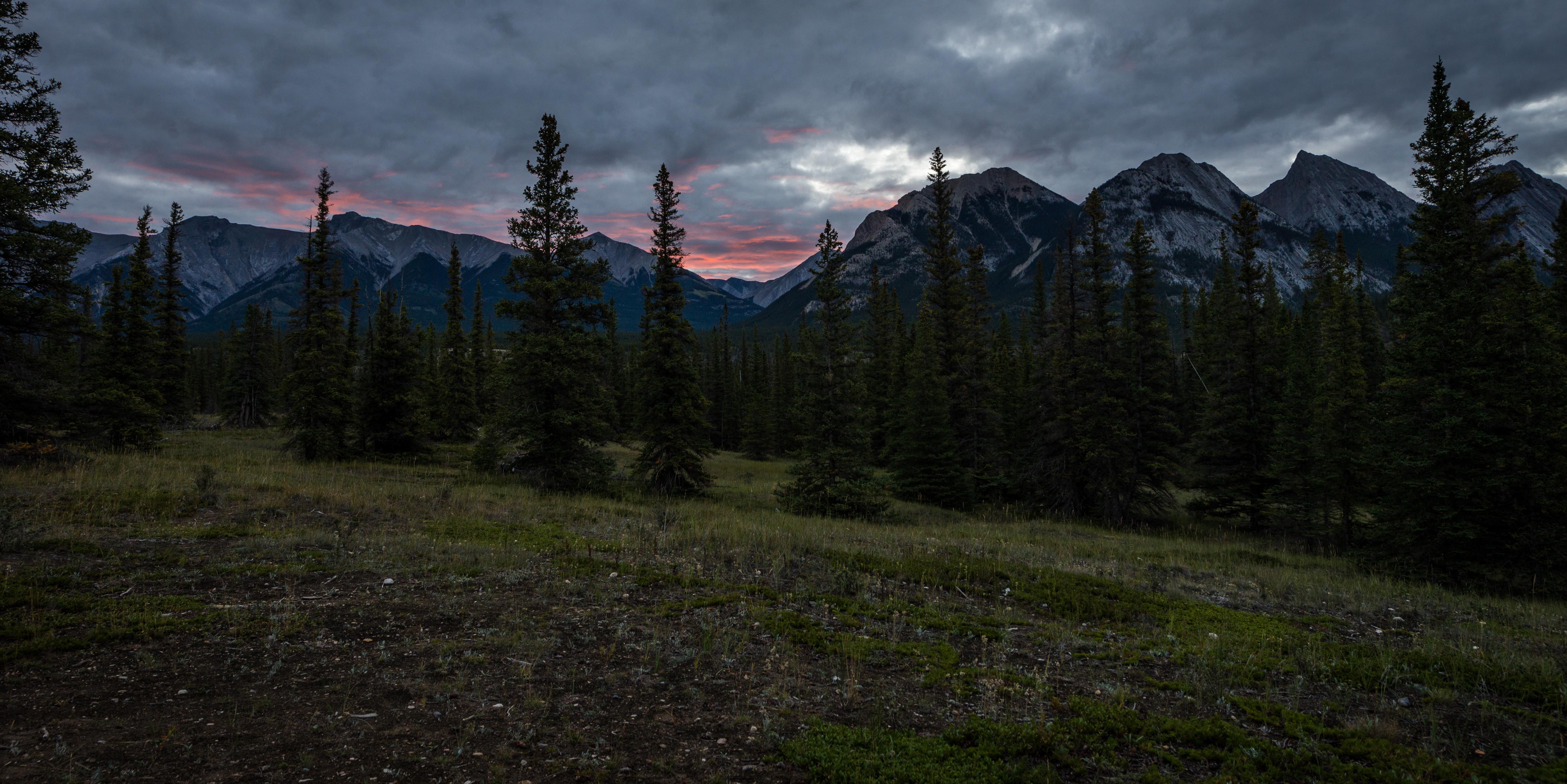
Kootenay Plains Evening
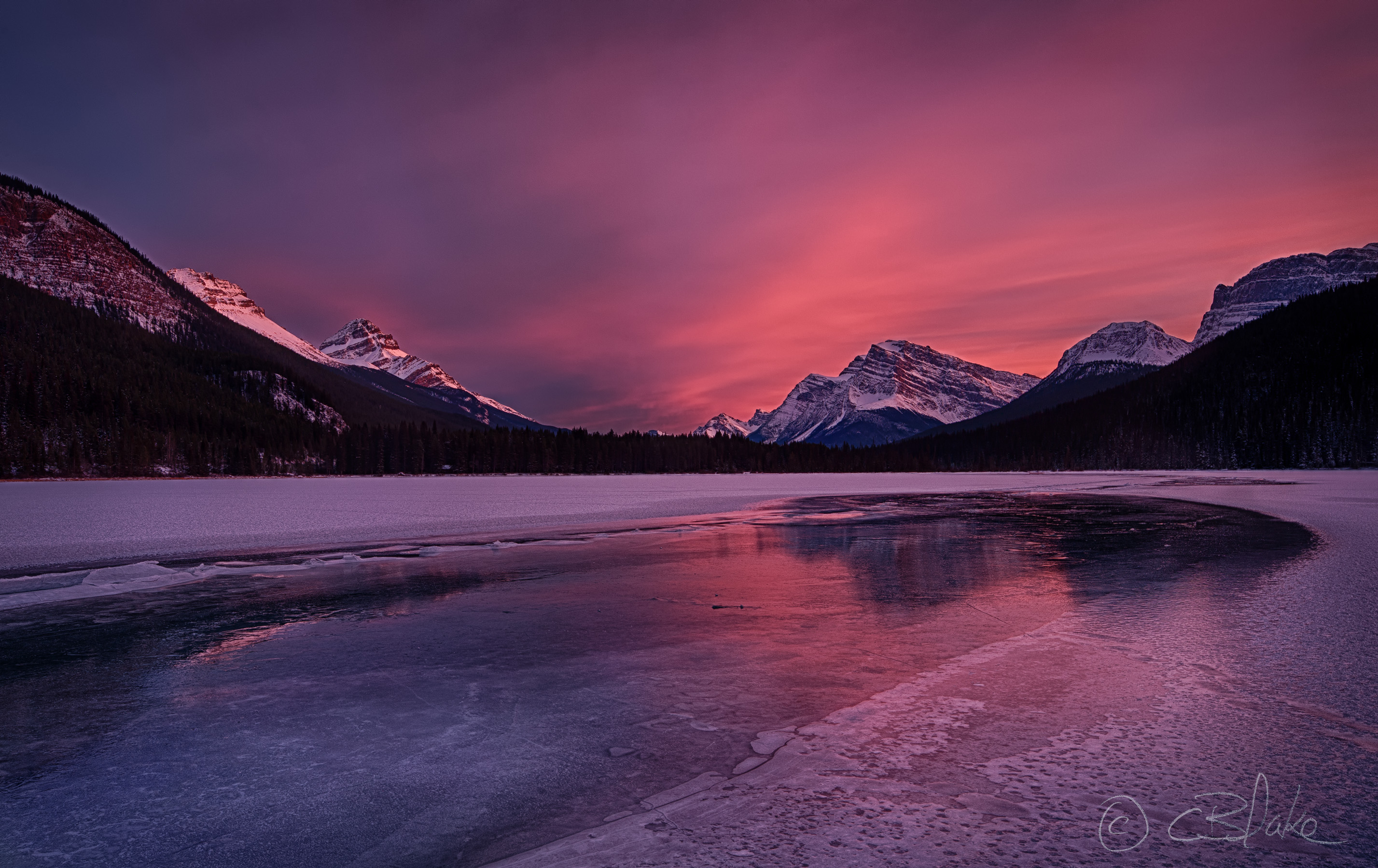
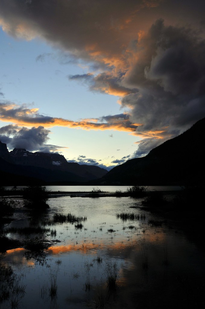
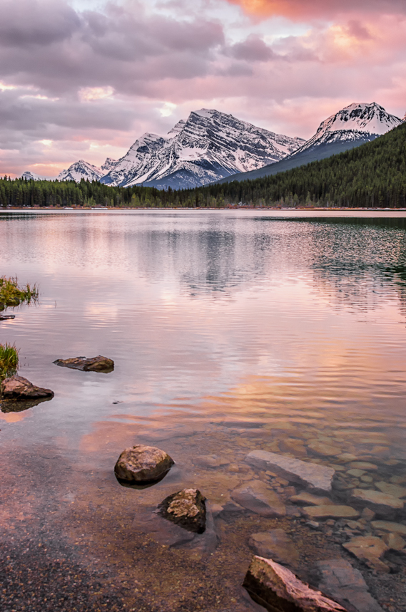
Sunset at Lower Water Fowl Lake
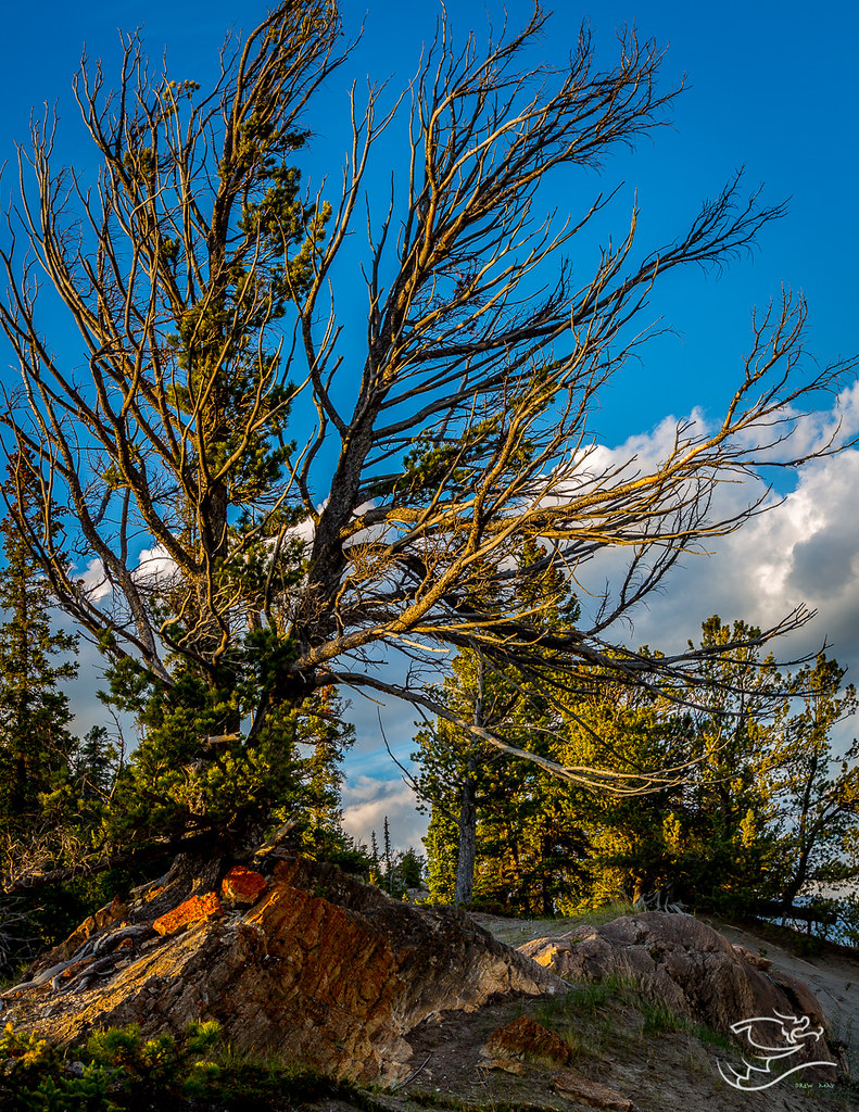
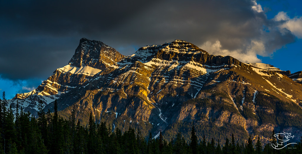
Bathed in Warm Light
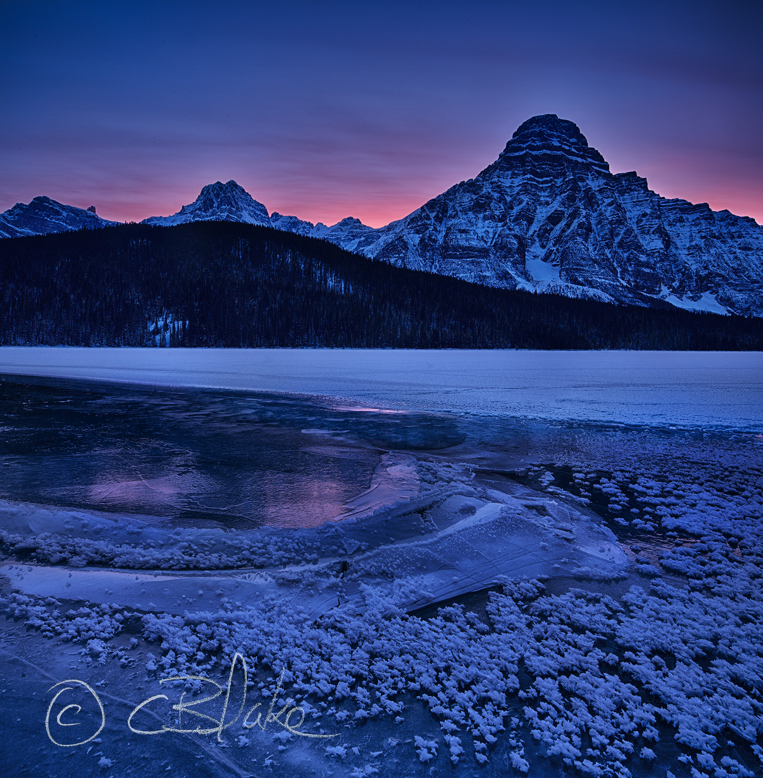
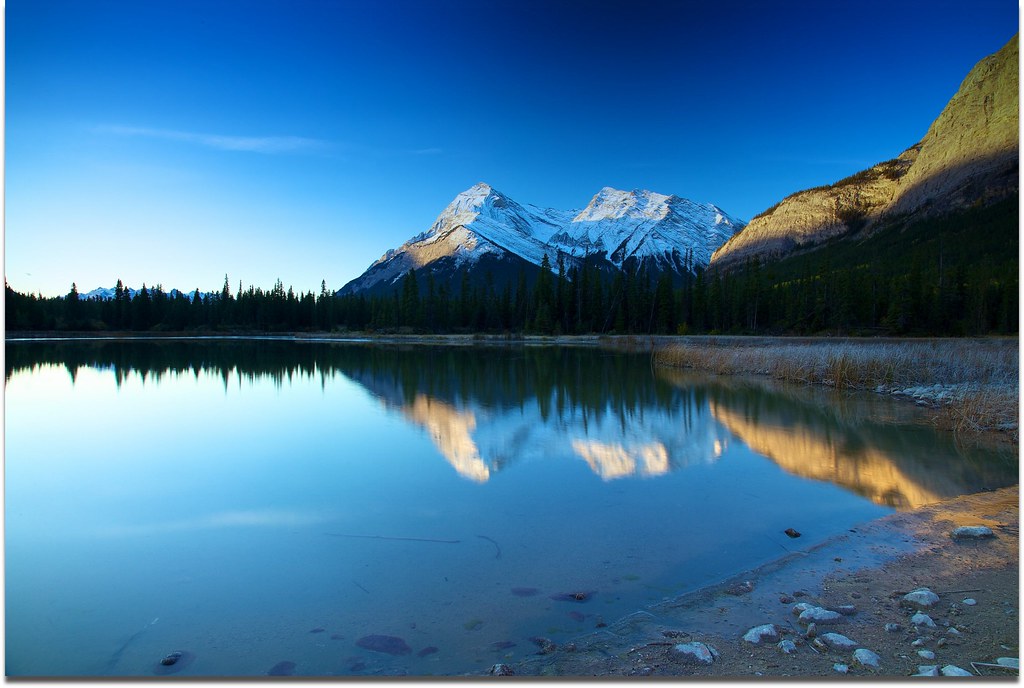
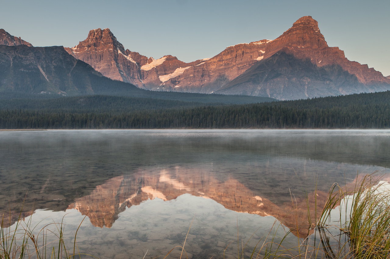
Upper Waterfowl Laka and Mount Patterson at Sunrise
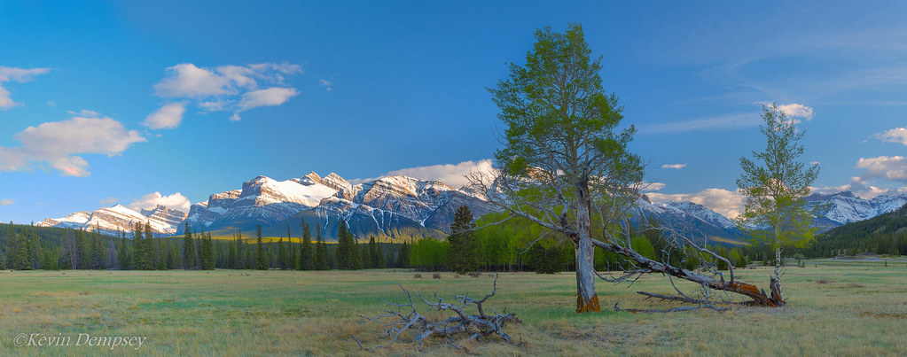
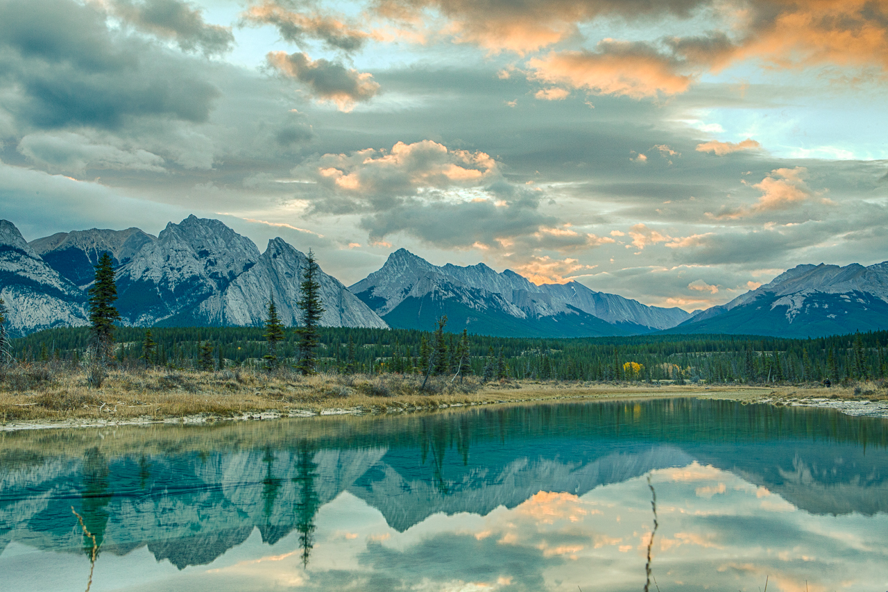
Waterfowl Lakes, Banff National Park, Alberta
Mount Peskitt
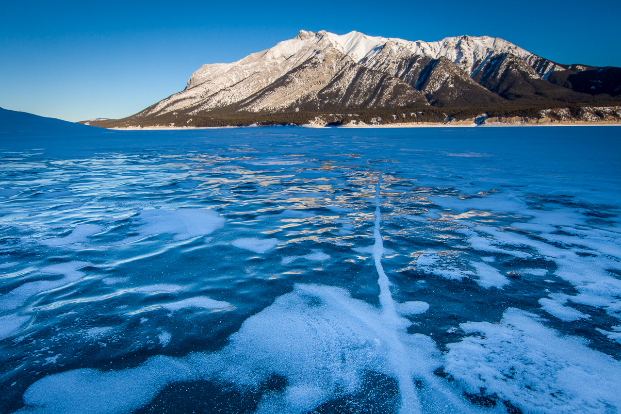
Sunset over Abraham Lake, Alberta, Canada
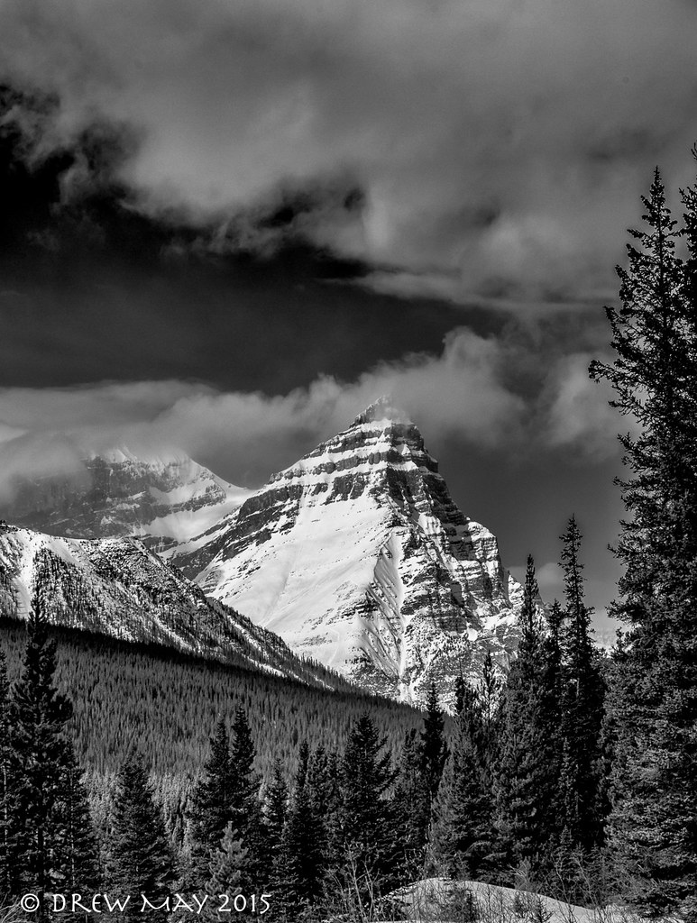
Mount Chephren

Mt Peskett at sunset
Kootenay Plains Reflecting Pools
Waterfowl Sunset
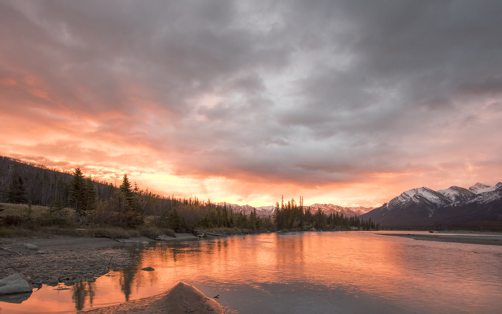
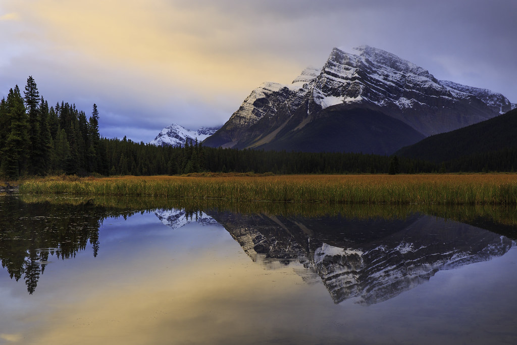
Saskatchewan River Sunrise 2015 09 19
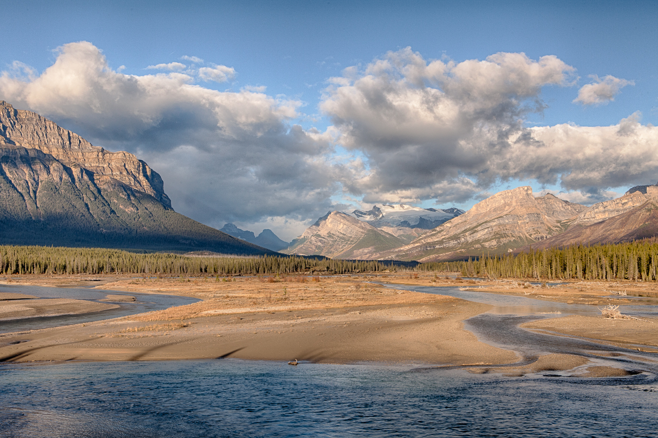
At the Edge of Kooteney Plains

Mount Chephren, Banff National Park
Dawn over Ex Coelis
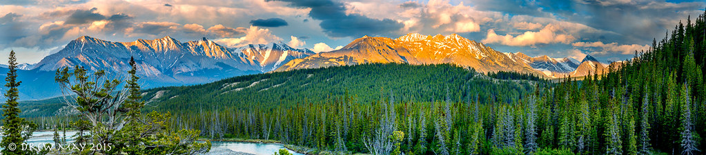
Elliott Peak

Waterfowl Lakes Sunrise
_D7K9464-Edit-Edit
North Saskatchewan River and Mount Wilson at Sunrise
Waterfowl Lake at sunrise
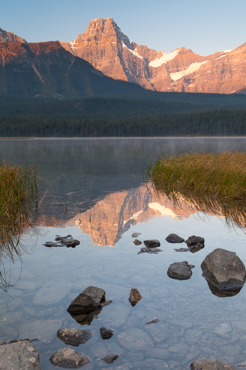
Waterfowl Lake at sunrise
Mount Loudon, Clearwater County, AB T0M, Kanada Karte
Suchen Sie einen anderen Ort
Nahe Plätze
Mount Peskett, Clearwater County, AB T0M, Kanada
Siffleur Mountain, Clearwater County, AB T0M, Kanada
Quill NE4, Clearwater County, AB T0M, Kanada
Marmota Peak, Clearwater County, AB T0M, Kanada
Quill Peak, Clearwater County, AB T0M, Kanada
Conical Peak, Improvement District No. 9, AB T0L, Kanada
Corona Ridge, Clearwater County, AB T0M, Kanada
Mount Noyes, Improvement District No. 9, AB T0L, Kanada
Mount Weed, Improvement District No. 9, AB T0L, Kanada
Spreading Peak, Improvement District No. 9, AB T0L, Kanada
Marmot Mountain, Improvement District No. 9, AB T0L, Kanada
Silverhorn Mountain, Improvement District No. 9, AB T0L, Kanada
Totem Tower, Improvement District No. 9, AB T0L, Kanada
Corona NW3, Improvement District No. 9, AB T0L, Kanada
Waterfowl Lakes, Improvement District No. 9, AB T0L, Kanada
Waterfowl Lakes Campground, Icefields Pkwy, Improvement District No. 9, AB T0L, Kanada
Waterfowl Lakes Viewpoint, Improvement District No. 9, Alberta T0L, Kanada
Bobac Mountain, Improvement District No. 9, AB T0L, Kanada
Peyto Lake, Improvement District No. 9, Alberta T0L, Kanada
Bow Pass ("Bow Summit") and Peyto Lake Viewpoint, Icefields Pkwy, Improvement District No. 9, AB T0L
Letzte Suche
- Red Dog Mine, AK, USA Sonnenaufgang Sonnenuntergang Zeiten
- Am Bahnhof, Am bhf, Borken, Germany Sonnenaufgang Sonnenuntergang Zeiten
- 4th St E, Sonoma, CA, USA Sonnenaufgang Sonnenuntergang Zeiten
- Oakland Ave, Williamsport, PA, USA Sonnenaufgang Sonnenuntergang Zeiten
- Via Roma, Pieranica CR, Italien Sonnenaufgang Sonnenuntergang Zeiten
- Glockenturm, Grad, Dubrovnik, Kroatien Sonnenaufgang Sonnenuntergang Zeiten
- Trelew, Chubut Province, Argentina Sonnenaufgang Sonnenuntergang Zeiten
- Hartfords Bluff Cir, Mt Pleasant, SC, USA Sonnenaufgang Sonnenuntergang Zeiten
- Kita-ku, Kumamoto, Präfektur Kumamoto, Japan Sonnenaufgang Sonnenuntergang Zeiten
- Pingtan Island, Pingtan County, Fuzhou, China Sonnenaufgang Sonnenuntergang Zeiten