Mount Brew, Squamish-Lillooet B, BC V0K, Kanada Sonnenaufgang Sonnenuntergang Zeiten
Location: Kanada > Britisch-Kolumbien > Squamish-Lillooet Regional District > Squamish-Lillooet B >
Zeitzone:
America/Vancouver
Ortszeit:
2025-06-25 16:47:25
Länge:
-121.975
Breite:
50.585
Sonnenaufgang Heute:
04:57:33 AM
Sonnenuntergang Heute:
09:24:21 PM
Tageslänge heute:
16h 26m 48s
Sonnenaufgang morgen:
04:58:04 AM
Sonnenuntergang Morgen:
09:24:15 PM
Tageslänge von morgen:
16h 26m 11s
Alle Termine anzeigen
| Datum | Sonnenaufgang | Sonnenuntergang | Tageslänge |
|---|---|---|---|
| 2025-01-01 | 08:08:44 AM | 04:15:31 PM | 8h 6m 47s |
| 2025-01-02 | 08:08:33 AM | 04:16:37 PM | 8h 8m 4s |
| 2025-01-03 | 08:08:19 AM | 04:17:45 PM | 8h 9m 26s |
| 2025-01-04 | 08:08:01 AM | 04:18:56 PM | 8h 10m 55s |
| 2025-01-05 | 08:07:40 AM | 04:20:10 PM | 8h 12m 30s |
| 2025-01-06 | 08:07:17 AM | 04:21:25 PM | 8h 14m 8s |
| 2025-01-07 | 08:06:50 AM | 04:22:43 PM | 8h 15m 53s |
| 2025-01-08 | 08:06:20 AM | 04:24:02 PM | 8h 17m 42s |
| 2025-01-09 | 08:05:46 AM | 04:25:24 PM | 8h 19m 38s |
| 2025-01-10 | 08:05:10 AM | 04:26:47 PM | 8h 21m 37s |
| 2025-01-11 | 08:04:31 AM | 04:28:12 PM | 8h 23m 41s |
| 2025-01-12 | 08:03:49 AM | 04:29:39 PM | 8h 25m 50s |
| 2025-01-13 | 08:03:04 AM | 04:31:07 PM | 8h 28m 3s |
| 2025-01-14 | 08:02:16 AM | 04:32:37 PM | 8h 30m 21s |
| 2025-01-15 | 08:01:26 AM | 04:34:08 PM | 8h 32m 42s |
| 2025-01-16 | 08:00:32 AM | 04:35:41 PM | 8h 35m 9s |
| 2025-01-17 | 07:59:36 AM | 04:37:15 PM | 8h 37m 39s |
| 2025-01-18 | 07:58:38 AM | 04:38:50 PM | 8h 40m 12s |
| 2025-01-19 | 07:57:36 AM | 04:40:27 PM | 8h 42m 51s |
| 2025-01-20 | 07:56:32 AM | 04:42:04 PM | 8h 45m 32s |
| 2025-01-21 | 07:55:26 AM | 04:43:43 PM | 8h 48m 17s |
| 2025-01-22 | 07:54:17 AM | 04:45:22 PM | 8h 51m 5s |
| 2025-01-23 | 07:53:05 AM | 04:47:02 PM | 8h 53m 57s |
| 2025-01-24 | 07:51:52 AM | 04:48:43 PM | 8h 56m 51s |
| 2025-01-25 | 07:50:36 AM | 04:50:25 PM | 8h 59m 49s |
| 2025-01-26 | 07:49:17 AM | 04:52:07 PM | 9h 2m 50s |
| 2025-01-27 | 07:47:57 AM | 04:53:50 PM | 9h 5m 53s |
| 2025-01-28 | 07:46:34 AM | 04:55:33 PM | 9h 8m 59s |
| 2025-01-29 | 07:45:09 AM | 04:57:17 PM | 9h 12m 8s |
| 2025-01-30 | 07:43:43 AM | 04:59:02 PM | 9h 15m 19s |
| 2025-01-31 | 07:42:14 AM | 05:00:46 PM | 9h 18m 32s |
| 2025-02-01 | 07:40:43 AM | 05:02:31 PM | 9h 21m 48s |
| 2025-02-02 | 07:39:10 AM | 05:04:17 PM | 9h 25m 7s |
| 2025-02-03 | 07:37:36 AM | 05:06:02 PM | 9h 28m 26s |
| 2025-02-04 | 07:36:00 AM | 05:07:48 PM | 9h 31m 48s |
| 2025-02-05 | 07:34:22 AM | 05:09:34 PM | 9h 35m 12s |
| 2025-02-06 | 07:32:42 AM | 05:11:19 PM | 9h 38m 37s |
| 2025-02-07 | 07:31:01 AM | 05:13:05 PM | 9h 42m 4s |
| 2025-02-08 | 07:29:18 AM | 05:14:51 PM | 9h 45m 33s |
| 2025-02-09 | 07:27:33 AM | 05:16:37 PM | 9h 49m 4s |
| 2025-02-10 | 07:25:47 AM | 05:18:23 PM | 9h 52m 36s |
| 2025-02-11 | 07:24:00 AM | 05:20:09 PM | 9h 56m 9s |
| 2025-02-12 | 07:22:11 AM | 05:21:55 PM | 9h 59m 44s |
| 2025-02-13 | 07:20:21 AM | 05:23:40 PM | 10h 3m 19s |
| 2025-02-14 | 07:18:30 AM | 05:25:26 PM | 10h 6m 56s |
| 2025-02-15 | 07:16:37 AM | 05:27:11 PM | 10h 10m 34s |
| 2025-02-16 | 07:14:43 AM | 05:28:56 PM | 10h 14m 13s |
| 2025-02-17 | 07:12:48 AM | 05:30:41 PM | 10h 17m 53s |
| 2025-02-18 | 07:10:51 AM | 05:32:26 PM | 10h 21m 35s |
| 2025-02-19 | 07:08:54 AM | 05:34:10 PM | 10h 25m 16s |
| 2025-02-20 | 07:06:56 AM | 05:35:54 PM | 10h 28m 58s |
| 2025-02-21 | 07:04:56 AM | 05:37:38 PM | 10h 32m 42s |
| 2025-02-22 | 07:02:56 AM | 05:39:22 PM | 10h 36m 26s |
| 2025-02-23 | 07:00:55 AM | 05:41:06 PM | 10h 40m 11s |
| 2025-02-24 | 06:58:52 AM | 05:42:49 PM | 10h 43m 57s |
| 2025-02-25 | 06:56:49 AM | 05:44:32 PM | 10h 47m 43s |
| 2025-02-26 | 06:54:45 AM | 05:46:14 PM | 10h 51m 29s |
| 2025-02-27 | 06:52:41 AM | 05:47:57 PM | 10h 55m 16s |
| 2025-02-28 | 06:50:35 AM | 05:49:39 PM | 10h 59m 4s |
| 2025-03-01 | 06:48:29 AM | 05:51:21 PM | 11h 2m 52s |
| 2025-03-02 | 06:46:22 AM | 05:53:02 PM | 11h 6m 40s |
| 2025-03-03 | 06:44:15 AM | 05:54:44 PM | 11h 10m 29s |
| 2025-03-04 | 06:42:07 AM | 05:56:25 PM | 11h 14m 18s |
| 2025-03-05 | 06:39:58 AM | 05:58:05 PM | 11h 18m 7s |
| 2025-03-06 | 06:37:49 AM | 05:59:46 PM | 11h 21m 57s |
| 2025-03-07 | 06:35:39 AM | 06:01:26 PM | 11h 25m 47s |
| 2025-03-08 | 06:33:29 AM | 06:03:06 PM | 11h 29m 37s |
| 2025-03-09 | 07:31:24 AM | 07:04:41 PM | 11h 33m 17s |
| 2025-03-10 | 07:29:13 AM | 07:06:21 PM | 11h 37m 8s |
| 2025-03-11 | 07:27:02 AM | 07:08:00 PM | 11h 40m 58s |
| 2025-03-12 | 07:24:50 AM | 07:09:39 PM | 11h 44m 49s |
| 2025-03-13 | 07:22:38 AM | 07:11:18 PM | 11h 48m 40s |
| 2025-03-14 | 07:20:26 AM | 07:12:57 PM | 11h 52m 31s |
| 2025-03-15 | 07:18:13 AM | 07:14:35 PM | 11h 56m 22s |
| 2025-03-16 | 07:16:01 AM | 07:16:13 PM | 12h 0m 12s |
| 2025-03-17 | 07:13:48 AM | 07:17:51 PM | 12h 4m 3s |
| 2025-03-18 | 07:11:35 AM | 07:19:29 PM | 12h 7m 54s |
| 2025-03-19 | 07:09:22 AM | 07:21:07 PM | 12h 11m 45s |
| 2025-03-20 | 07:07:09 AM | 07:22:44 PM | 12h 15m 35s |
| 2025-03-21 | 07:04:55 AM | 07:24:22 PM | 12h 19m 27s |
| 2025-03-22 | 07:02:42 AM | 07:25:59 PM | 12h 23m 17s |
| 2025-03-23 | 07:00:29 AM | 07:27:36 PM | 12h 27m 7s |
| 2025-03-24 | 06:58:15 AM | 07:29:13 PM | 12h 30m 58s |
| 2025-03-25 | 06:56:02 AM | 07:30:50 PM | 12h 34m 48s |
| 2025-03-26 | 06:53:49 AM | 07:32:27 PM | 12h 38m 38s |
| 2025-03-27 | 06:51:36 AM | 07:34:04 PM | 12h 42m 28s |
| 2025-03-28 | 06:49:23 AM | 07:35:41 PM | 12h 46m 18s |
| 2025-03-29 | 06:47:11 AM | 07:37:17 PM | 12h 50m 6s |
| 2025-03-30 | 06:44:58 AM | 07:38:54 PM | 12h 53m 56s |
| 2025-03-31 | 06:42:46 AM | 07:40:31 PM | 12h 57m 45s |
| 2025-04-01 | 06:40:34 AM | 07:42:07 PM | 13h 1m 33s |
| 2025-04-02 | 06:38:23 AM | 07:43:44 PM | 13h 5m 21s |
| 2025-04-03 | 06:36:11 AM | 07:45:20 PM | 13h 9m 9s |
| 2025-04-04 | 06:34:01 AM | 07:46:57 PM | 13h 12m 56s |
| 2025-04-05 | 06:31:50 AM | 07:48:33 PM | 13h 16m 43s |
| 2025-04-06 | 06:29:40 AM | 07:50:09 PM | 13h 20m 29s |
| 2025-04-07 | 06:27:31 AM | 07:51:46 PM | 13h 24m 15s |
| 2025-04-08 | 06:25:22 AM | 07:53:22 PM | 13h 28m 0s |
| 2025-04-09 | 06:23:13 AM | 07:54:59 PM | 13h 31m 46s |
| 2025-04-10 | 06:21:05 AM | 07:56:35 PM | 13h 35m 30s |
| 2025-04-11 | 06:18:58 AM | 07:58:11 PM | 13h 39m 13s |
| 2025-04-12 | 06:16:51 AM | 07:59:48 PM | 13h 42m 57s |
| 2025-04-13 | 06:14:45 AM | 08:01:24 PM | 13h 46m 39s |
| 2025-04-14 | 06:12:40 AM | 08:03:00 PM | 13h 50m 20s |
| 2025-04-15 | 06:10:36 AM | 08:04:37 PM | 13h 54m 1s |
| 2025-04-16 | 06:08:32 AM | 08:06:13 PM | 13h 57m 41s |
| 2025-04-17 | 06:06:29 AM | 08:07:49 PM | 14h 1m 20s |
| 2025-04-18 | 06:04:27 AM | 08:09:25 PM | 14h 4m 58s |
| 2025-04-19 | 06:02:26 AM | 08:11:02 PM | 14h 8m 36s |
| 2025-04-20 | 06:00:26 AM | 08:12:38 PM | 14h 12m 12s |
| 2025-04-21 | 05:58:26 AM | 08:14:14 PM | 14h 15m 48s |
| 2025-04-22 | 05:56:28 AM | 08:15:49 PM | 14h 19m 21s |
| 2025-04-23 | 05:54:31 AM | 08:17:25 PM | 14h 22m 54s |
| 2025-04-24 | 05:52:35 AM | 08:19:01 PM | 14h 26m 26s |
| 2025-04-25 | 05:50:40 AM | 08:20:36 PM | 14h 29m 56s |
| 2025-04-26 | 05:48:46 AM | 08:22:12 PM | 14h 33m 26s |
| 2025-04-27 | 05:46:53 AM | 08:23:47 PM | 14h 36m 54s |
| 2025-04-28 | 05:45:02 AM | 08:25:22 PM | 14h 40m 20s |
| 2025-04-29 | 05:43:12 AM | 08:26:57 PM | 14h 43m 45s |
| 2025-04-30 | 05:41:23 AM | 08:28:31 PM | 14h 47m 8s |
| 2025-05-01 | 05:39:36 AM | 08:30:05 PM | 14h 50m 29s |
| 2025-05-02 | 05:37:50 AM | 08:31:39 PM | 14h 53m 49s |
| 2025-05-03 | 05:36:06 AM | 08:33:12 PM | 14h 57m 6s |
| 2025-05-04 | 05:34:23 AM | 08:34:45 PM | 15h 0m 22s |
| 2025-05-05 | 05:32:41 AM | 08:36:18 PM | 15h 3m 37s |
| 2025-05-06 | 05:31:02 AM | 08:37:50 PM | 15h 6m 48s |
| 2025-05-07 | 05:29:23 AM | 08:39:22 PM | 15h 9m 59s |
| 2025-05-08 | 05:27:47 AM | 08:40:53 PM | 15h 13m 6s |
| 2025-05-09 | 05:26:12 AM | 08:42:23 PM | 15h 16m 11s |
| 2025-05-10 | 05:24:39 AM | 08:43:53 PM | 15h 19m 14s |
| 2025-05-11 | 05:23:08 AM | 08:45:22 PM | 15h 22m 14s |
| 2025-05-12 | 05:21:39 AM | 08:46:50 PM | 15h 25m 11s |
| 2025-05-13 | 05:20:12 AM | 08:48:18 PM | 15h 28m 6s |
| 2025-05-14 | 05:18:47 AM | 08:49:45 PM | 15h 30m 58s |
| 2025-05-15 | 05:17:24 AM | 08:51:11 PM | 15h 33m 47s |
| 2025-05-16 | 05:16:02 AM | 08:52:36 PM | 15h 36m 34s |
| 2025-05-17 | 05:14:43 AM | 08:53:59 PM | 15h 39m 16s |
| 2025-05-18 | 05:13:27 AM | 08:55:22 PM | 15h 41m 55s |
| 2025-05-19 | 05:12:12 AM | 08:56:44 PM | 15h 44m 32s |
| 2025-05-20 | 05:11:00 AM | 08:58:04 PM | 15h 47m 4s |
| 2025-05-21 | 05:09:49 AM | 08:59:24 PM | 15h 49m 35s |
| 2025-05-22 | 05:08:42 AM | 09:00:41 PM | 15h 51m 59s |
| 2025-05-23 | 05:07:36 AM | 09:01:58 PM | 15h 54m 22s |
| 2025-05-24 | 05:06:34 AM | 09:03:13 PM | 15h 56m 39s |
| 2025-05-25 | 05:05:33 AM | 09:04:27 PM | 15h 58m 54s |
| 2025-05-26 | 05:04:35 AM | 09:05:39 PM | 16h 1m 4s |
| 2025-05-27 | 05:03:40 AM | 09:06:49 PM | 16h 3m 9s |
| 2025-05-28 | 05:02:47 AM | 09:07:58 PM | 16h 5m 11s |
| 2025-05-29 | 05:01:57 AM | 09:09:04 PM | 16h 7m 7s |
| 2025-05-30 | 05:01:10 AM | 09:10:09 PM | 16h 8m 59s |
| 2025-05-31 | 05:00:25 AM | 09:11:13 PM | 16h 10m 48s |
| 2025-06-01 | 04:59:43 AM | 09:12:14 PM | 16h 12m 31s |
| 2025-06-02 | 04:59:04 AM | 09:13:13 PM | 16h 14m 9s |
| 2025-06-03 | 04:58:28 AM | 09:14:10 PM | 16h 15m 42s |
| 2025-06-04 | 04:57:54 AM | 09:15:05 PM | 16h 17m 11s |
| 2025-06-05 | 04:57:24 AM | 09:15:57 PM | 16h 18m 33s |
| 2025-06-06 | 04:56:56 AM | 09:16:47 PM | 16h 19m 51s |
| 2025-06-07 | 04:56:31 AM | 09:17:35 PM | 16h 21m 4s |
| 2025-06-08 | 04:56:09 AM | 09:18:21 PM | 16h 22m 12s |
| 2025-06-09 | 04:55:50 AM | 09:19:04 PM | 16h 23m 14s |
| 2025-06-10 | 04:55:34 AM | 09:19:45 PM | 16h 24m 11s |
| 2025-06-11 | 04:55:21 AM | 09:20:23 PM | 16h 25m 2s |
| 2025-06-12 | 04:55:10 AM | 09:20:58 PM | 16h 25m 48s |
| 2025-06-13 | 04:55:03 AM | 09:21:31 PM | 16h 26m 28s |
| 2025-06-14 | 04:54:59 AM | 09:22:01 PM | 16h 27m 2s |
| 2025-06-15 | 04:54:57 AM | 09:22:28 PM | 16h 27m 31s |
| 2025-06-16 | 04:54:59 AM | 09:22:52 PM | 16h 27m 53s |
| 2025-06-17 | 04:55:04 AM | 09:23:14 PM | 16h 28m 10s |
| 2025-06-18 | 04:55:11 AM | 09:23:33 PM | 16h 28m 22s |
| 2025-06-19 | 04:55:21 AM | 09:23:49 PM | 16h 28m 28s |
| 2025-06-20 | 04:55:34 AM | 09:24:02 PM | 16h 28m 28s |
| 2025-06-21 | 04:55:50 AM | 09:24:12 PM | 16h 28m 22s |
| 2025-06-22 | 04:56:09 AM | 09:24:19 PM | 16h 28m 10s |
| 2025-06-23 | 04:56:31 AM | 09:24:23 PM | 16h 27m 52s |
| 2025-06-24 | 04:56:55 AM | 09:24:24 PM | 16h 27m 29s |
| 2025-06-25 | 04:57:22 AM | 09:24:22 PM | 16h 27m 0s |
| 2025-06-26 | 04:57:52 AM | 09:24:17 PM | 16h 26m 25s |
| 2025-06-27 | 04:58:24 AM | 09:24:09 PM | 16h 25m 45s |
| 2025-06-28 | 04:58:59 AM | 09:23:59 PM | 16h 25m 0s |
| 2025-06-29 | 04:59:37 AM | 09:23:45 PM | 16h 24m 8s |
| 2025-06-30 | 05:00:17 AM | 09:23:28 PM | 16h 23m 11s |
| 2025-07-01 | 05:00:59 AM | 09:23:08 PM | 16h 22m 9s |
| 2025-07-02 | 05:01:44 AM | 09:22:45 PM | 16h 21m 1s |
| 2025-07-03 | 05:02:31 AM | 09:22:20 PM | 16h 19m 49s |
| 2025-07-04 | 05:03:20 AM | 09:21:51 PM | 16h 18m 31s |
| 2025-07-05 | 05:04:12 AM | 09:21:19 PM | 16h 17m 7s |
| 2025-07-06 | 05:05:05 AM | 09:20:45 PM | 16h 15m 40s |
| 2025-07-07 | 05:06:01 AM | 09:20:08 PM | 16h 14m 7s |
| 2025-07-08 | 05:06:59 AM | 09:19:28 PM | 16h 12m 29s |
| 2025-07-09 | 05:07:59 AM | 09:18:45 PM | 16h 10m 46s |
| 2025-07-10 | 05:09:00 AM | 09:17:59 PM | 16h 8m 59s |
| 2025-07-11 | 05:10:04 AM | 09:17:11 PM | 16h 7m 7s |
| 2025-07-12 | 05:11:09 AM | 09:16:20 PM | 16h 5m 11s |
| 2025-07-13 | 05:12:16 AM | 09:15:26 PM | 16h 3m 10s |
| 2025-07-14 | 05:13:24 AM | 09:14:29 PM | 16h 1m 5s |
| 2025-07-15 | 05:14:34 AM | 09:13:30 PM | 15h 58m 56s |
| 2025-07-16 | 05:15:46 AM | 09:12:29 PM | 15h 56m 43s |
| 2025-07-17 | 05:16:58 AM | 09:11:25 PM | 15h 54m 27s |
| 2025-07-18 | 05:18:13 AM | 09:10:19 PM | 15h 52m 6s |
| 2025-07-19 | 05:19:28 AM | 09:09:10 PM | 15h 49m 42s |
| 2025-07-20 | 05:20:45 AM | 09:07:59 PM | 15h 47m 14s |
| 2025-07-21 | 05:22:03 AM | 09:06:45 PM | 15h 44m 42s |
| 2025-07-22 | 05:23:22 AM | 09:05:29 PM | 15h 42m 7s |
| 2025-07-23 | 05:24:42 AM | 09:04:11 PM | 15h 39m 29s |
| 2025-07-24 | 05:26:03 AM | 09:02:51 PM | 15h 36m 48s |
| 2025-07-25 | 05:27:25 AM | 09:01:29 PM | 15h 34m 4s |
| 2025-07-26 | 05:28:48 AM | 09:00:04 PM | 15h 31m 16s |
| 2025-07-27 | 05:30:12 AM | 08:58:38 PM | 15h 28m 26s |
| 2025-07-28 | 05:31:37 AM | 08:57:10 PM | 15h 25m 33s |
| 2025-07-29 | 05:33:02 AM | 08:55:39 PM | 15h 22m 37s |
| 2025-07-30 | 05:34:28 AM | 08:54:07 PM | 15h 19m 39s |
| 2025-07-31 | 05:35:54 AM | 08:52:33 PM | 15h 16m 39s |
| 2025-08-01 | 05:37:21 AM | 08:50:57 PM | 15h 13m 36s |
| 2025-08-02 | 05:38:49 AM | 08:49:20 PM | 15h 10m 31s |
| 2025-08-03 | 05:40:17 AM | 08:47:41 PM | 15h 7m 24s |
| 2025-08-04 | 05:41:46 AM | 08:46:00 PM | 15h 4m 14s |
| 2025-08-05 | 05:43:14 AM | 08:44:17 PM | 15h 1m 3s |
| 2025-08-06 | 05:44:44 AM | 08:42:33 PM | 14h 57m 49s |
| 2025-08-07 | 05:46:13 AM | 08:40:48 PM | 14h 54m 35s |
| 2025-08-08 | 05:47:43 AM | 08:39:00 PM | 14h 51m 17s |
| 2025-08-09 | 05:49:14 AM | 08:37:12 PM | 14h 47m 58s |
| 2025-08-10 | 05:50:44 AM | 08:35:22 PM | 14h 44m 38s |
| 2025-08-11 | 05:52:15 AM | 08:33:31 PM | 14h 41m 16s |
| 2025-08-12 | 05:53:46 AM | 08:31:38 PM | 14h 37m 52s |
| 2025-08-13 | 05:55:17 AM | 08:29:45 PM | 14h 34m 28s |
| 2025-08-14 | 05:56:48 AM | 08:27:50 PM | 14h 31m 2s |
| 2025-08-15 | 05:58:19 AM | 08:25:54 PM | 14h 27m 35s |
| 2025-08-16 | 05:59:51 AM | 08:23:56 PM | 14h 24m 5s |
| 2025-08-17 | 06:01:22 AM | 08:21:58 PM | 14h 20m 36s |
| 2025-08-18 | 06:02:54 AM | 08:19:59 PM | 14h 17m 5s |
| 2025-08-19 | 06:04:25 AM | 08:17:58 PM | 14h 13m 33s |
| 2025-08-20 | 06:05:57 AM | 08:15:57 PM | 14h 10m 0s |
| 2025-08-21 | 06:07:29 AM | 08:13:54 PM | 14h 6m 25s |
| 2025-08-22 | 06:09:01 AM | 08:11:51 PM | 14h 2m 50s |
| 2025-08-23 | 06:10:32 AM | 08:09:47 PM | 13h 59m 15s |
| 2025-08-24 | 06:12:04 AM | 08:07:42 PM | 13h 55m 38s |
| 2025-08-25 | 06:13:36 AM | 08:05:37 PM | 13h 52m 1s |
| 2025-08-26 | 06:15:07 AM | 08:03:30 PM | 13h 48m 23s |
| 2025-08-27 | 06:16:39 AM | 08:01:23 PM | 13h 44m 44s |
| 2025-08-28 | 06:18:11 AM | 07:59:15 PM | 13h 41m 4s |
| 2025-08-29 | 06:19:42 AM | 07:57:06 PM | 13h 37m 24s |
| 2025-08-30 | 06:21:14 AM | 07:54:57 PM | 13h 33m 43s |
| 2025-08-31 | 06:22:46 AM | 07:52:48 PM | 13h 30m 2s |
| 2025-09-01 | 06:24:17 AM | 07:50:37 PM | 13h 26m 20s |
| 2025-09-02 | 06:25:49 AM | 07:48:27 PM | 13h 22m 38s |
| 2025-09-03 | 06:27:20 AM | 07:46:15 PM | 13h 18m 55s |
| 2025-09-04 | 06:28:52 AM | 07:44:04 PM | 13h 15m 12s |
| 2025-09-05 | 06:30:23 AM | 07:41:51 PM | 13h 11m 28s |
| 2025-09-06 | 06:31:55 AM | 07:39:39 PM | 13h 7m 44s |
| 2025-09-07 | 06:33:26 AM | 07:37:26 PM | 13h 4m 0s |
| 2025-09-08 | 06:34:58 AM | 07:35:13 PM | 13h 0m 15s |
| 2025-09-09 | 06:36:29 AM | 07:32:59 PM | 12h 56m 30s |
| 2025-09-10 | 06:38:01 AM | 07:30:45 PM | 12h 52m 44s |
| 2025-09-11 | 06:39:32 AM | 07:28:31 PM | 12h 48m 59s |
| 2025-09-12 | 06:41:04 AM | 07:26:17 PM | 12h 45m 13s |
| 2025-09-13 | 06:42:36 AM | 07:24:03 PM | 12h 41m 27s |
| 2025-09-14 | 06:44:08 AM | 07:21:48 PM | 12h 37m 40s |
| 2025-09-15 | 06:45:39 AM | 07:19:33 PM | 12h 33m 54s |
| 2025-09-16 | 06:47:11 AM | 07:17:18 PM | 12h 30m 7s |
| 2025-09-17 | 06:48:43 AM | 07:15:04 PM | 12h 26m 21s |
| 2025-09-18 | 06:50:15 AM | 07:12:49 PM | 12h 22m 34s |
| 2025-09-19 | 06:51:48 AM | 07:10:34 PM | 12h 18m 46s |
| 2025-09-20 | 06:53:20 AM | 07:08:19 PM | 12h 14m 59s |
| 2025-09-21 | 06:54:52 AM | 07:06:04 PM | 12h 11m 12s |
| 2025-09-22 | 06:56:25 AM | 07:03:49 PM | 12h 7m 24s |
| 2025-09-23 | 06:57:58 AM | 07:01:35 PM | 12h 3m 37s |
| 2025-09-24 | 06:59:31 AM | 06:59:20 PM | 11h 59m 49s |
| 2025-09-25 | 07:01:04 AM | 06:57:06 PM | 11h 56m 2s |
| 2025-09-26 | 07:02:37 AM | 06:54:52 PM | 11h 52m 15s |
| 2025-09-27 | 07:04:10 AM | 06:52:38 PM | 11h 48m 28s |
| 2025-09-28 | 07:05:44 AM | 06:50:25 PM | 11h 44m 41s |
| 2025-09-29 | 07:07:18 AM | 06:48:12 PM | 11h 40m 54s |
| 2025-09-30 | 07:08:52 AM | 06:45:59 PM | 11h 37m 7s |
| 2025-10-01 | 07:10:27 AM | 06:43:46 PM | 11h 33m 19s |
| 2025-10-02 | 07:12:01 AM | 06:41:34 PM | 11h 29m 33s |
| 2025-10-03 | 07:13:36 AM | 06:39:22 PM | 11h 25m 46s |
| 2025-10-04 | 07:15:11 AM | 06:37:11 PM | 11h 22m 0s |
| 2025-10-05 | 07:16:47 AM | 06:35:00 PM | 11h 18m 13s |
| 2025-10-06 | 07:18:22 AM | 06:32:50 PM | 11h 14m 28s |
| 2025-10-07 | 07:19:58 AM | 06:30:40 PM | 11h 10m 42s |
| 2025-10-08 | 07:21:35 AM | 06:28:31 PM | 11h 6m 56s |
| 2025-10-09 | 07:23:11 AM | 06:26:23 PM | 11h 3m 12s |
| 2025-10-10 | 07:24:48 AM | 06:24:15 PM | 10h 59m 27s |
| 2025-10-11 | 07:26:25 AM | 06:22:08 PM | 10h 55m 43s |
| 2025-10-12 | 07:28:03 AM | 06:20:01 PM | 10h 51m 58s |
| 2025-10-13 | 07:29:41 AM | 06:17:56 PM | 10h 48m 15s |
| 2025-10-14 | 07:31:19 AM | 06:15:51 PM | 10h 44m 32s |
| 2025-10-15 | 07:32:57 AM | 06:13:47 PM | 10h 40m 50s |
| 2025-10-16 | 07:34:36 AM | 06:11:44 PM | 10h 37m 8s |
| 2025-10-17 | 07:36:15 AM | 06:09:42 PM | 10h 33m 27s |
| 2025-10-18 | 07:37:54 AM | 06:07:40 PM | 10h 29m 46s |
| 2025-10-19 | 07:39:34 AM | 06:05:40 PM | 10h 26m 6s |
| 2025-10-20 | 07:41:13 AM | 06:03:41 PM | 10h 22m 28s |
| 2025-10-21 | 07:42:54 AM | 06:01:43 PM | 10h 18m 49s |
| 2025-10-22 | 07:44:34 AM | 05:59:46 PM | 10h 15m 12s |
| 2025-10-23 | 07:46:14 AM | 05:57:50 PM | 10h 11m 36s |
| 2025-10-24 | 07:47:55 AM | 05:55:55 PM | 10h 8m 0s |
| 2025-10-25 | 07:49:36 AM | 05:54:02 PM | 10h 4m 26s |
| 2025-10-26 | 07:51:18 AM | 05:52:10 PM | 10h 0m 52s |
| 2025-10-27 | 07:52:59 AM | 05:50:19 PM | 9h 57m 20s |
| 2025-10-28 | 07:54:41 AM | 05:48:29 PM | 9h 53m 48s |
| 2025-10-29 | 07:56:22 AM | 05:46:41 PM | 9h 50m 19s |
| 2025-10-30 | 07:58:04 AM | 05:44:55 PM | 9h 46m 51s |
| 2025-10-31 | 07:59:46 AM | 05:43:10 PM | 9h 43m 24s |
| 2025-11-01 | 08:01:28 AM | 05:41:26 PM | 9h 39m 58s |
| 2025-11-02 | 07:03:14 AM | 04:39:40 PM | 9h 36m 26s |
| 2025-11-03 | 07:04:56 AM | 04:38:00 PM | 9h 33m 4s |
| 2025-11-04 | 07:06:38 AM | 04:36:21 PM | 9h 29m 43s |
| 2025-11-05 | 07:08:20 AM | 04:34:45 PM | 9h 26m 25s |
| 2025-11-06 | 07:10:01 AM | 04:33:10 PM | 9h 23m 9s |
| 2025-11-07 | 07:11:43 AM | 04:31:37 PM | 9h 19m 54s |
| 2025-11-08 | 07:13:24 AM | 04:30:06 PM | 9h 16m 42s |
| 2025-11-09 | 07:15:05 AM | 04:28:36 PM | 9h 13m 31s |
| 2025-11-10 | 07:16:46 AM | 04:27:09 PM | 9h 10m 23s |
| 2025-11-11 | 07:18:26 AM | 04:25:44 PM | 9h 7m 18s |
| 2025-11-12 | 07:20:06 AM | 04:24:21 PM | 9h 4m 15s |
| 2025-11-13 | 07:21:46 AM | 04:23:00 PM | 9h 1m 14s |
| 2025-11-14 | 07:23:24 AM | 04:21:42 PM | 8h 58m 18s |
| 2025-11-15 | 07:25:03 AM | 04:20:25 PM | 8h 55m 22s |
| 2025-11-16 | 07:26:40 AM | 04:19:11 PM | 8h 52m 31s |
| 2025-11-17 | 07:28:17 AM | 04:18:00 PM | 8h 49m 43s |
| 2025-11-18 | 07:29:53 AM | 04:16:51 PM | 8h 46m 58s |
| 2025-11-19 | 07:31:29 AM | 04:15:44 PM | 8h 44m 15s |
| 2025-11-20 | 07:33:03 AM | 04:14:40 PM | 8h 41m 37s |
| 2025-11-21 | 07:34:36 AM | 04:13:38 PM | 8h 39m 2s |
| 2025-11-22 | 07:36:09 AM | 04:12:39 PM | 8h 36m 30s |
| 2025-11-23 | 07:37:40 AM | 04:11:43 PM | 8h 34m 3s |
| 2025-11-24 | 07:39:10 AM | 04:10:50 PM | 8h 31m 40s |
| 2025-11-25 | 07:40:38 AM | 04:09:59 PM | 8h 29m 21s |
| 2025-11-26 | 07:42:05 AM | 04:09:11 PM | 8h 27m 6s |
| 2025-11-27 | 07:43:31 AM | 04:08:26 PM | 8h 24m 55s |
| 2025-11-28 | 07:44:55 AM | 04:07:44 PM | 8h 22m 49s |
| 2025-11-29 | 07:46:18 AM | 04:07:05 PM | 8h 20m 47s |
| 2025-11-30 | 07:47:39 AM | 04:06:29 PM | 8h 18m 50s |
| 2025-12-01 | 07:48:58 AM | 04:05:56 PM | 8h 16m 58s |
| 2025-12-02 | 07:50:15 AM | 04:05:27 PM | 8h 15m 12s |
| 2025-12-03 | 07:51:30 AM | 04:05:00 PM | 8h 13m 30s |
| 2025-12-04 | 07:52:43 AM | 04:04:36 PM | 8h 11m 53s |
| 2025-12-05 | 07:53:55 AM | 04:04:16 PM | 8h 10m 21s |
| 2025-12-06 | 07:55:04 AM | 04:03:59 PM | 8h 8m 55s |
| 2025-12-07 | 07:56:10 AM | 04:03:45 PM | 8h 7m 35s |
| 2025-12-08 | 07:57:15 AM | 04:03:34 PM | 8h 6m 19s |
| 2025-12-09 | 07:58:16 AM | 04:03:26 PM | 8h 5m 10s |
| 2025-12-10 | 07:59:16 AM | 04:03:22 PM | 8h 4m 6s |
| 2025-12-11 | 08:00:13 AM | 04:03:21 PM | 8h 3m 8s |
| 2025-12-12 | 08:01:07 AM | 04:03:24 PM | 8h 2m 17s |
| 2025-12-13 | 08:01:59 AM | 04:03:29 PM | 8h 1m 30s |
| 2025-12-14 | 08:02:47 AM | 04:03:38 PM | 8h 0m 51s |
| 2025-12-15 | 08:03:33 AM | 04:03:51 PM | 8h 0m 18s |
| 2025-12-16 | 08:04:16 AM | 04:04:06 PM | 7h 59m 50s |
| 2025-12-17 | 08:04:57 AM | 04:04:25 PM | 7h 59m 28s |
| 2025-12-18 | 08:05:34 AM | 04:04:47 PM | 7h 59m 13s |
| 2025-12-19 | 08:06:08 AM | 04:05:12 PM | 7h 59m 4s |
| 2025-12-20 | 08:06:39 AM | 04:05:40 PM | 7h 59m 1s |
| 2025-12-21 | 08:07:08 AM | 04:06:12 PM | 7h 59m 4s |
| 2025-12-22 | 08:07:33 AM | 04:06:47 PM | 7h 59m 14s |
| 2025-12-23 | 08:07:54 AM | 04:07:24 PM | 7h 59m 30s |
| 2025-12-24 | 08:08:13 AM | 04:08:05 PM | 7h 59m 52s |
| 2025-12-25 | 08:08:28 AM | 04:08:49 PM | 8h 0m 21s |
| 2025-12-26 | 08:08:41 AM | 04:09:36 PM | 8h 0m 55s |
| 2025-12-27 | 08:08:50 AM | 04:10:25 PM | 8h 1m 35s |
| 2025-12-28 | 08:08:56 AM | 04:11:18 PM | 8h 2m 22s |
| 2025-12-29 | 08:08:58 AM | 04:12:13 PM | 8h 3m 15s |
| 2025-12-30 | 08:08:57 AM | 04:13:11 PM | 8h 4m 14s |
| 2025-12-31 | 08:08:53 AM | 04:14:12 PM | 8h 5m 19s |
Fotos
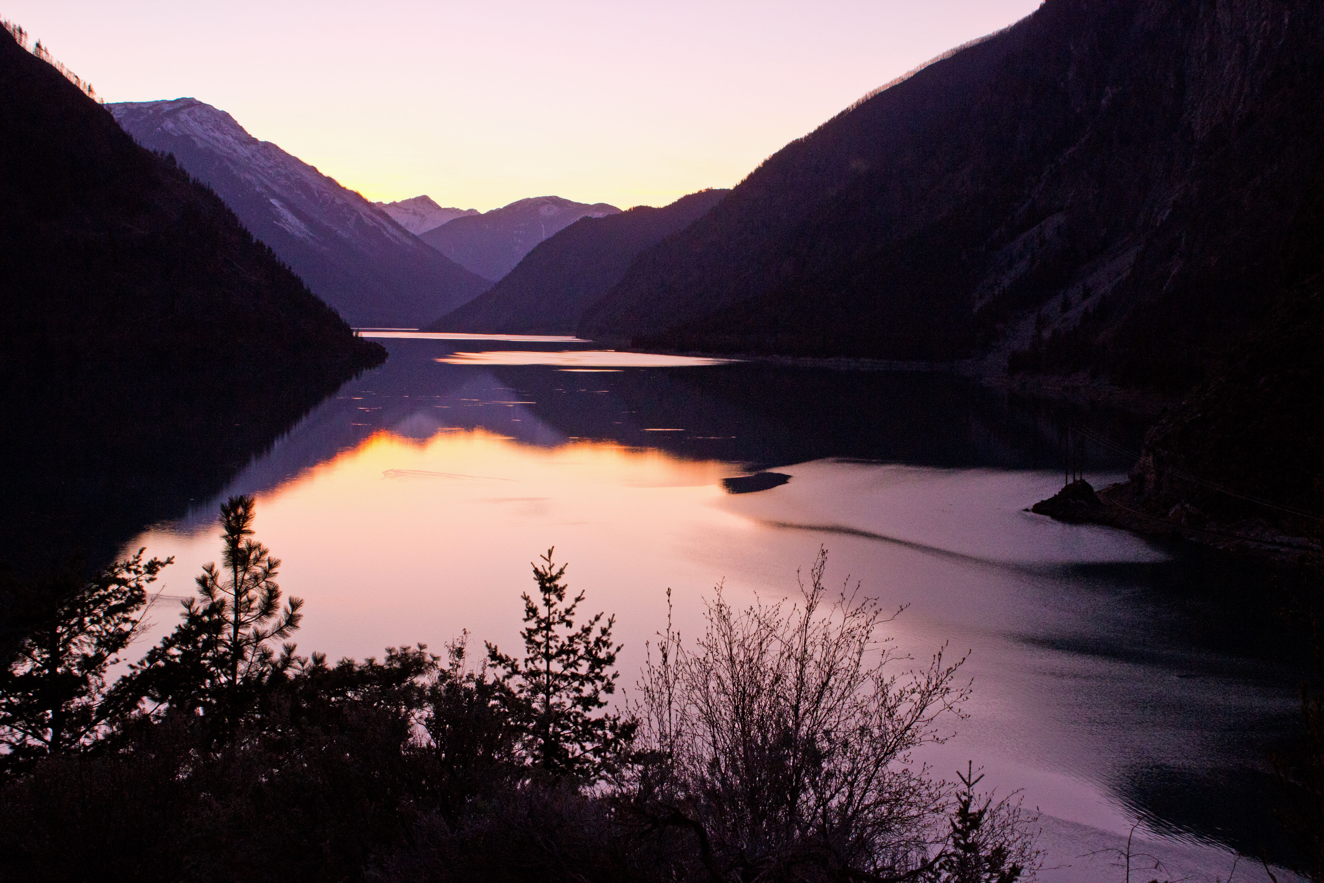
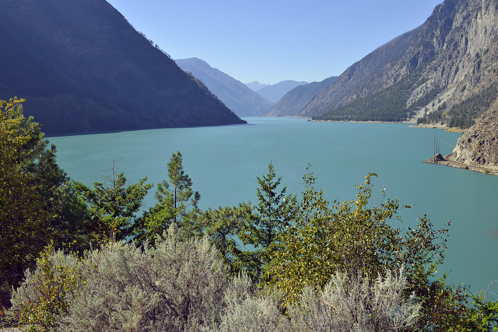
Lillooet, Seton Lake Sunset

Seton Lake
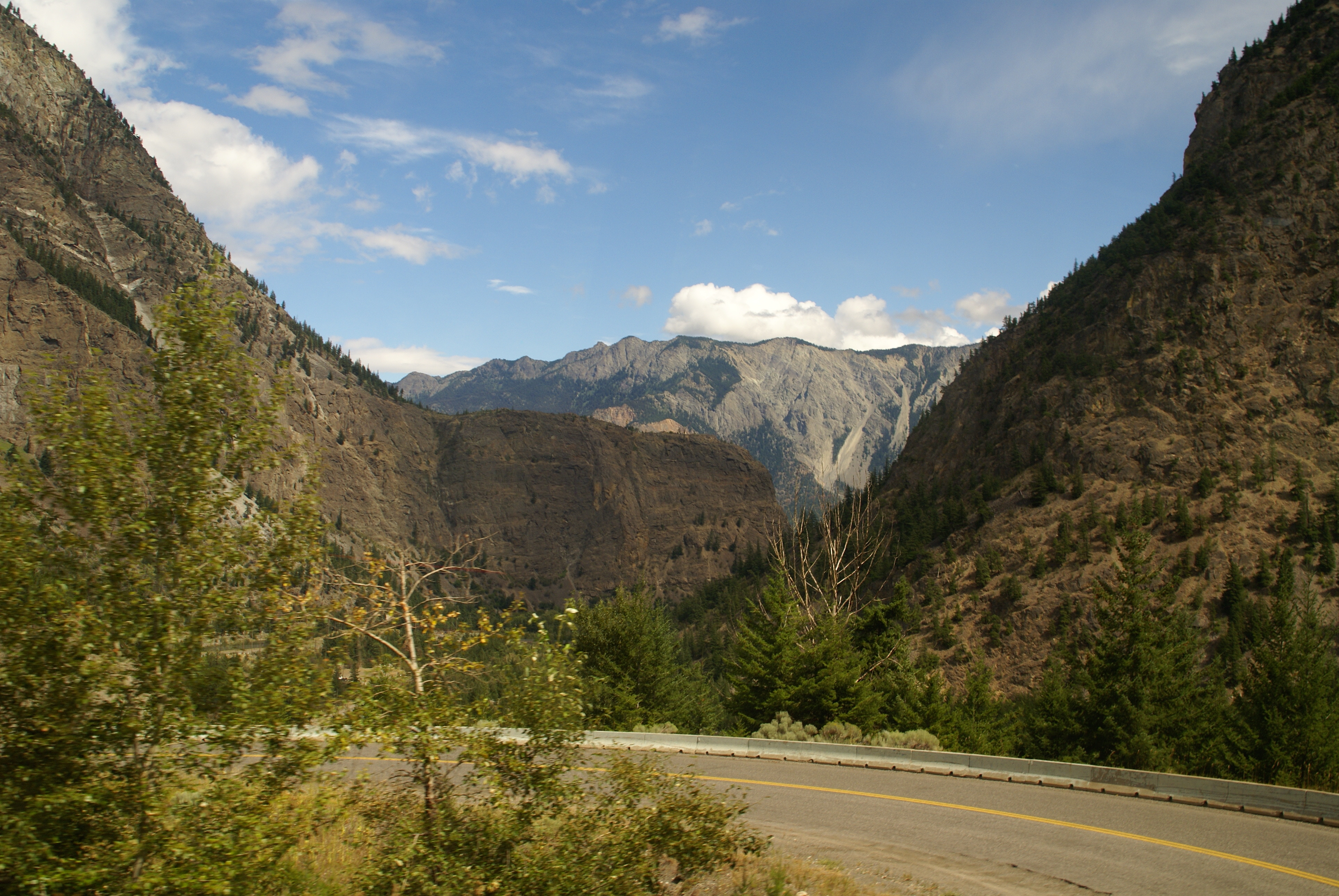
Long Road out of Whistler
Long Road out of Whistler
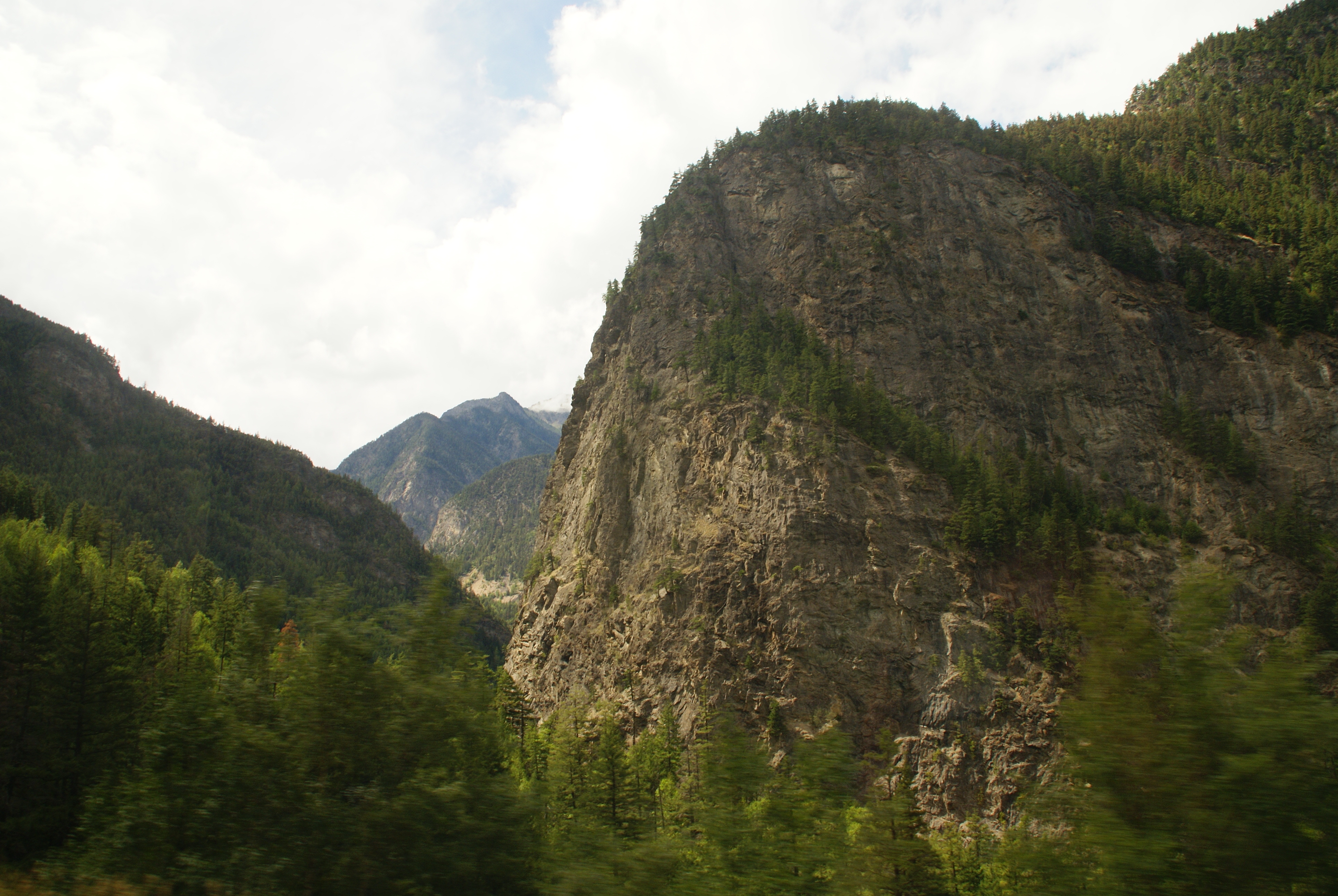
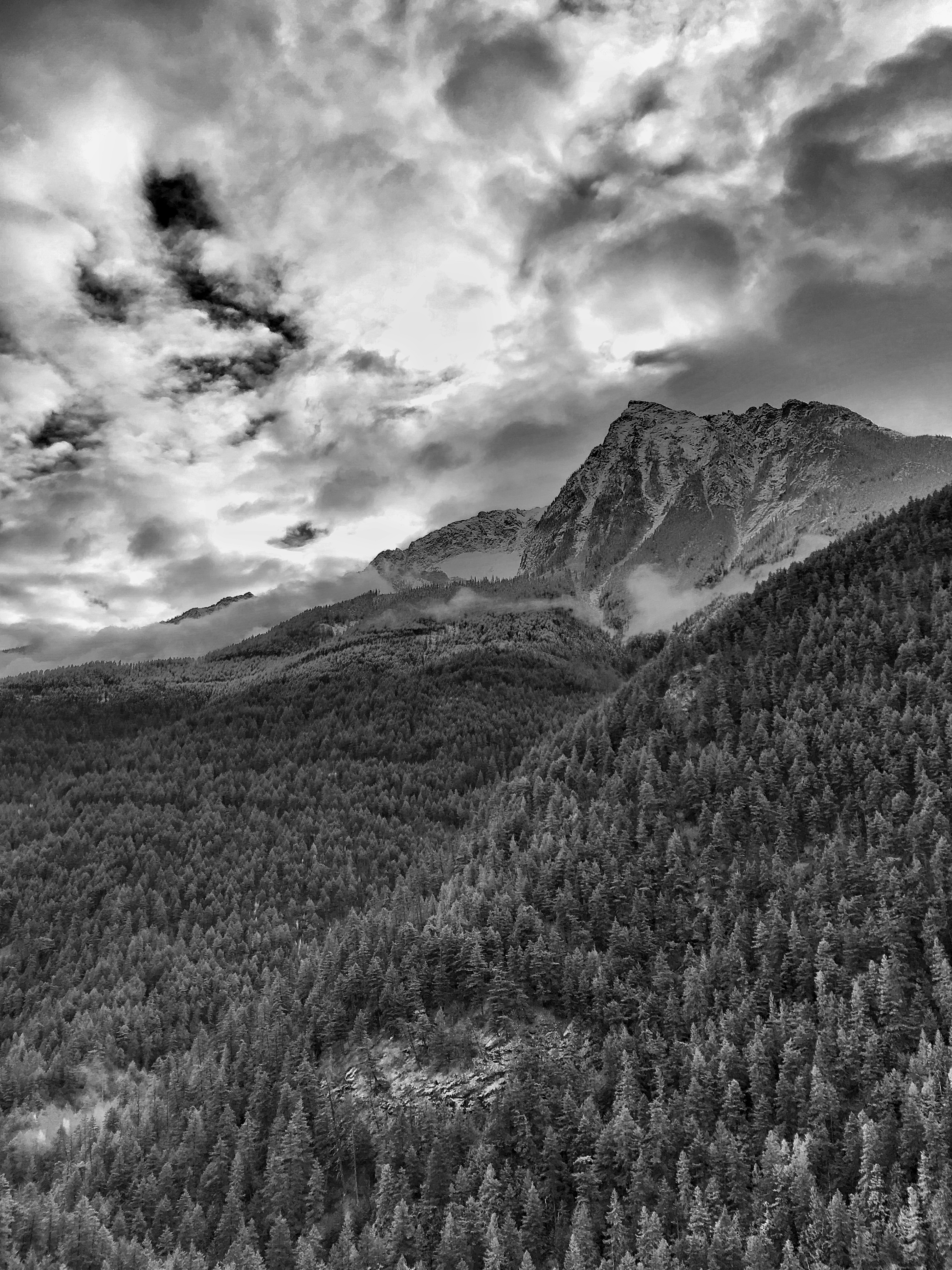
Trees on Cliff
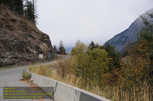
Fall View on Highway 99
AS THE EAGLE FLIES
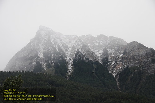
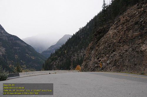
Hwy 99 VF2_9391.JPG

View of Seton Lake
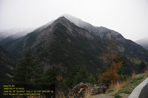
Hwy 99 VF2_9390.JPG
Hwy 99 VF2_9393.JPG
Hwy 99 VF2_9392.JPG

Curve view
Mount Brew, Squamish-Lillooet B, BC V0K, Kanada Karte
Suchen Sie einen anderen Ort
Nahe Plätze
Jorgensen Rd, Lillooet, BC V0K 1V0, Kanada
Meadow Lake, Thompson-Nicola I, BC V0K 1Z0, Kanada
Blustry Mountain, Thompson-Nicola I, BC V0K, Kanada
Mount Seton, Squamish-Lillooet B, BC V0N, Kanada
Petlushkwohap Mountain, Thompson-Nicola I, BC V0K, Kanada
Skihist Mountain, Thompson-Nicola I, BC V0K, Kanada
St Georges Rd, Spences Bridge, BC V0K 2L0, Kanada
BC-12, Lytton, BC V0K 1Z0, Kanada
Clapperton Ranch, Merr-Spncs Br Hwy, Spences Bridge, BC V0K 2L0, Kanada
Thompson-Nicola I, BC, Kanada
Botanie Rock Farms, Box, Botanie Valley Road, Lytton, BC V0K 1Z0, Kanada
Lytton, Britisch-Kolumbien, Kanada
Lytton Hotel, Main St, Lytton, BC V0K 1Z0, Kanada
BC-1, Lytton, BC V0K 1Z0, Kanada
BC-1, Lytton, BC V0K 1Z0, Kanada
Spences Bridge, BC V0K, Kanada
BC-1, Ashcroft, BC V0K 1A0, Kanada
Station St, Spences Bridge, BC V0K 2L0, Kanada
Keefers, BC, Kanada
Fraser Valley A, BC, Kanada
Letzte Suche
- Red Dog Mine, AK, USA Sonnenaufgang Sonnenuntergang Zeiten
- Am Bahnhof, Am bhf, Borken, Germany Sonnenaufgang Sonnenuntergang Zeiten
- 4th St E, Sonoma, CA, USA Sonnenaufgang Sonnenuntergang Zeiten
- Oakland Ave, Williamsport, PA, USA Sonnenaufgang Sonnenuntergang Zeiten
- Via Roma, Pieranica CR, Italien Sonnenaufgang Sonnenuntergang Zeiten
- Glockenturm, Grad, Dubrovnik, Kroatien Sonnenaufgang Sonnenuntergang Zeiten
- Trelew, Chubut Province, Argentina Sonnenaufgang Sonnenuntergang Zeiten
- Hartfords Bluff Cir, Mt Pleasant, SC, USA Sonnenaufgang Sonnenuntergang Zeiten
- Kita-ku, Kumamoto, Präfektur Kumamoto, Japan Sonnenaufgang Sonnenuntergang Zeiten
- Pingtan Island, Pingtan County, Fuzhou, China Sonnenaufgang Sonnenuntergang Zeiten