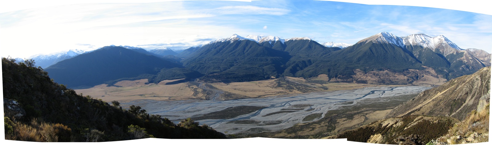
Mount Binser, Canterbury, Neuseeland Sonnenaufgang Sonnenuntergang Zeiten
Location: Neuseeland > Canterbury > Bealey >
Zeitzone:
Pacific/Auckland
Ortszeit:
2025-06-27 07:54:45
Länge:
171.8608333
Breite:
-43.0266666
Sonnenaufgang Heute:
08:05:01 AM
Sonnenuntergang Heute:
05:06:16 PM
Tageslänge heute:
9h 1m 15s
Sonnenaufgang morgen:
08:05:01 AM
Sonnenuntergang Morgen:
05:06:41 PM
Tageslänge von morgen:
9h 1m 40s
Alle Termine anzeigen
| Datum | Sonnenaufgang | Sonnenuntergang | Tageslänge |
|---|---|---|---|
| 2025-01-01 | 05:57:05 AM | 09:14:54 PM | 15h 17m 49s |
| 2025-01-02 | 05:57:58 AM | 09:14:57 PM | 15h 16m 59s |
| 2025-01-03 | 05:58:54 AM | 09:14:57 PM | 15h 16m 3s |
| 2025-01-04 | 05:59:51 AM | 09:14:55 PM | 15h 15m 4s |
| 2025-01-05 | 06:00:49 AM | 09:14:50 PM | 15h 14m 1s |
| 2025-01-06 | 06:01:50 AM | 09:14:43 PM | 15h 12m 53s |
| 2025-01-07 | 06:02:52 AM | 09:14:33 PM | 15h 11m 41s |
| 2025-01-08 | 06:03:55 AM | 09:14:21 PM | 15h 10m 26s |
| 2025-01-09 | 06:05:00 AM | 09:14:06 PM | 15h 9m 6s |
| 2025-01-10 | 06:06:07 AM | 09:13:49 PM | 15h 7m 42s |
| 2025-01-11 | 06:07:14 AM | 09:13:29 PM | 15h 6m 15s |
| 2025-01-12 | 06:08:23 AM | 09:13:07 PM | 15h 4m 44s |
| 2025-01-13 | 06:09:33 AM | 09:12:43 PM | 15h 3m 10s |
| 2025-01-14 | 06:10:45 AM | 09:12:16 PM | 15h 1m 31s |
| 2025-01-15 | 06:11:57 AM | 09:11:46 PM | 14h 59m 49s |
| 2025-01-16 | 06:13:10 AM | 09:11:15 PM | 14h 58m 5s |
| 2025-01-17 | 06:14:25 AM | 09:10:41 PM | 14h 56m 16s |
| 2025-01-18 | 06:15:40 AM | 09:10:05 PM | 14h 54m 25s |
| 2025-01-19 | 06:16:56 AM | 09:09:26 PM | 14h 52m 30s |
| 2025-01-20 | 06:18:13 AM | 09:08:45 PM | 14h 50m 32s |
| 2025-01-21 | 06:19:30 AM | 09:08:02 PM | 14h 48m 32s |
| 2025-01-22 | 06:20:48 AM | 09:07:17 PM | 14h 46m 29s |
| 2025-01-23 | 06:22:07 AM | 09:06:30 PM | 14h 44m 23s |
| 2025-01-24 | 06:23:26 AM | 09:05:40 PM | 14h 42m 14s |
| 2025-01-25 | 06:24:46 AM | 09:04:49 PM | 14h 40m 3s |
| 2025-01-26 | 06:26:06 AM | 09:03:55 PM | 14h 37m 49s |
| 2025-01-27 | 06:27:27 AM | 09:03:00 PM | 14h 35m 33s |
| 2025-01-28 | 06:28:48 AM | 09:02:03 PM | 14h 33m 15s |
| 2025-01-29 | 06:30:09 AM | 09:01:03 PM | 14h 30m 54s |
| 2025-01-30 | 06:31:31 AM | 09:00:02 PM | 14h 28m 31s |
| 2025-01-31 | 06:32:52 AM | 08:58:59 PM | 14h 26m 7s |
| 2025-02-01 | 06:34:14 AM | 08:57:54 PM | 14h 23m 40s |
| 2025-02-02 | 06:35:36 AM | 08:56:47 PM | 14h 21m 11s |
| 2025-02-03 | 06:36:58 AM | 08:55:39 PM | 14h 18m 41s |
| 2025-02-04 | 06:38:20 AM | 08:54:29 PM | 14h 16m 9s |
| 2025-02-05 | 06:39:42 AM | 08:53:17 PM | 14h 13m 35s |
| 2025-02-06 | 06:41:05 AM | 08:52:04 PM | 14h 10m 59s |
| 2025-02-07 | 06:42:27 AM | 08:50:49 PM | 14h 8m 22s |
| 2025-02-08 | 06:43:49 AM | 08:49:33 PM | 14h 5m 44s |
| 2025-02-09 | 06:45:10 AM | 08:48:15 PM | 14h 3m 5s |
| 2025-02-10 | 06:46:32 AM | 08:46:56 PM | 14h 0m 24s |
| 2025-02-11 | 06:47:54 AM | 08:45:36 PM | 13h 57m 42s |
| 2025-02-12 | 06:49:15 AM | 08:44:14 PM | 13h 54m 59s |
| 2025-02-13 | 06:50:36 AM | 08:42:50 PM | 13h 52m 14s |
| 2025-02-14 | 06:51:57 AM | 08:41:26 PM | 13h 49m 29s |
| 2025-02-15 | 06:53:18 AM | 08:40:00 PM | 13h 46m 42s |
| 2025-02-16 | 06:54:39 AM | 08:38:33 PM | 13h 43m 54s |
| 2025-02-17 | 06:55:59 AM | 08:37:05 PM | 13h 41m 6s |
| 2025-02-18 | 06:57:19 AM | 08:35:36 PM | 13h 38m 17s |
| 2025-02-19 | 06:58:39 AM | 08:34:05 PM | 13h 35m 26s |
| 2025-02-20 | 06:59:58 AM | 08:32:34 PM | 13h 32m 36s |
| 2025-02-21 | 07:01:17 AM | 08:31:02 PM | 13h 29m 45s |
| 2025-02-22 | 07:02:36 AM | 08:29:28 PM | 13h 26m 52s |
| 2025-02-23 | 07:03:54 AM | 08:27:54 PM | 13h 24m 0s |
| 2025-02-24 | 07:05:12 AM | 08:26:19 PM | 13h 21m 7s |
| 2025-02-25 | 07:06:30 AM | 08:24:43 PM | 13h 18m 13s |
| 2025-02-26 | 07:07:48 AM | 08:23:06 PM | 13h 15m 18s |
| 2025-02-27 | 07:09:05 AM | 08:21:29 PM | 13h 12m 24s |
| 2025-02-28 | 07:10:21 AM | 08:19:50 PM | 13h 9m 29s |
| 2025-03-01 | 07:11:38 AM | 08:18:11 PM | 13h 6m 33s |
| 2025-03-02 | 07:12:54 AM | 08:16:31 PM | 13h 3m 37s |
| 2025-03-03 | 07:14:10 AM | 08:14:51 PM | 13h 0m 41s |
| 2025-03-04 | 07:15:25 AM | 08:13:10 PM | 12h 57m 45s |
| 2025-03-05 | 07:16:40 AM | 08:11:29 PM | 12h 54m 49s |
| 2025-03-06 | 07:17:55 AM | 08:09:46 PM | 12h 51m 51s |
| 2025-03-07 | 07:19:10 AM | 08:08:04 PM | 12h 48m 54s |
| 2025-03-08 | 07:20:24 AM | 08:06:21 PM | 12h 45m 57s |
| 2025-03-09 | 07:21:38 AM | 08:04:37 PM | 12h 42m 59s |
| 2025-03-10 | 07:22:51 AM | 08:02:53 PM | 12h 40m 2s |
| 2025-03-11 | 07:24:04 AM | 08:01:09 PM | 12h 37m 5s |
| 2025-03-12 | 07:25:17 AM | 07:59:24 PM | 12h 34m 7s |
| 2025-03-13 | 07:26:30 AM | 07:57:39 PM | 12h 31m 9s |
| 2025-03-14 | 07:27:42 AM | 07:55:54 PM | 12h 28m 12s |
| 2025-03-15 | 07:28:55 AM | 07:54:09 PM | 12h 25m 14s |
| 2025-03-16 | 07:30:07 AM | 07:52:23 PM | 12h 22m 16s |
| 2025-03-17 | 07:31:18 AM | 07:50:37 PM | 12h 19m 19s |
| 2025-03-18 | 07:32:30 AM | 07:48:51 PM | 12h 16m 21s |
| 2025-03-19 | 07:33:41 AM | 07:47:05 PM | 12h 13m 24s |
| 2025-03-20 | 07:34:52 AM | 07:45:19 PM | 12h 10m 27s |
| 2025-03-21 | 07:36:03 AM | 07:43:32 PM | 12h 7m 29s |
| 2025-03-22 | 07:37:13 AM | 07:41:46 PM | 12h 4m 33s |
| 2025-03-23 | 07:38:24 AM | 07:39:59 PM | 12h 1m 35s |
| 2025-03-24 | 07:39:34 AM | 07:38:13 PM | 11h 58m 39s |
| 2025-03-25 | 07:40:44 AM | 07:36:27 PM | 11h 55m 43s |
| 2025-03-26 | 07:41:54 AM | 07:34:41 PM | 11h 52m 47s |
| 2025-03-27 | 07:43:04 AM | 07:32:55 PM | 11h 49m 51s |
| 2025-03-28 | 07:44:14 AM | 07:31:09 PM | 11h 46m 55s |
| 2025-03-29 | 07:45:23 AM | 07:29:23 PM | 11h 44m 0s |
| 2025-03-30 | 07:46:33 AM | 07:27:38 PM | 11h 41m 5s |
| 2025-03-31 | 07:47:42 AM | 07:25:52 PM | 11h 38m 10s |
| 2025-04-01 | 07:48:51 AM | 07:24:07 PM | 11h 35m 16s |
| 2025-04-02 | 07:50:00 AM | 07:22:23 PM | 11h 32m 23s |
| 2025-04-03 | 07:51:09 AM | 07:20:38 PM | 11h 29m 29s |
| 2025-04-04 | 07:52:18 AM | 07:18:55 PM | 11h 26m 37s |
| 2025-04-05 | 07:53:27 AM | 07:17:11 PM | 11h 23m 44s |
| 2025-04-06 | 06:54:39 AM | 06:15:24 PM | 11h 20m 45s |
| 2025-04-06 | 06:54:39 AM | 06:15:24 PM | 11h 20m 45s |
| 2025-04-07 | 06:55:48 AM | 06:13:41 PM | 11h 17m 53s |
| 2025-04-08 | 06:56:57 AM | 06:11:59 PM | 11h 15m 2s |
| 2025-04-09 | 06:58:05 AM | 06:10:17 PM | 11h 12m 12s |
| 2025-04-10 | 06:59:14 AM | 06:08:36 PM | 11h 9m 22s |
| 2025-04-11 | 07:00:23 AM | 06:06:56 PM | 11h 6m 33s |
| 2025-04-12 | 07:01:31 AM | 06:05:16 PM | 11h 3m 45s |
| 2025-04-13 | 07:02:40 AM | 06:03:36 PM | 11h 0m 56s |
| 2025-04-14 | 07:03:48 AM | 06:01:58 PM | 10h 58m 10s |
| 2025-04-15 | 07:04:57 AM | 06:00:20 PM | 10h 55m 23s |
| 2025-04-16 | 07:06:05 AM | 05:58:43 PM | 10h 52m 38s |
| 2025-04-17 | 07:07:14 AM | 05:57:07 PM | 10h 49m 53s |
| 2025-04-18 | 07:08:22 AM | 05:55:31 PM | 10h 47m 9s |
| 2025-04-19 | 07:09:30 AM | 05:53:57 PM | 10h 44m 27s |
| 2025-04-20 | 07:10:38 AM | 05:52:23 PM | 10h 41m 45s |
| 2025-04-21 | 07:11:47 AM | 05:50:50 PM | 10h 39m 3s |
| 2025-04-22 | 07:12:55 AM | 05:49:18 PM | 10h 36m 23s |
| 2025-04-23 | 07:14:03 AM | 05:47:47 PM | 10h 33m 44s |
| 2025-04-24 | 07:15:11 AM | 05:46:17 PM | 10h 31m 6s |
| 2025-04-25 | 07:16:19 AM | 05:44:48 PM | 10h 28m 29s |
| 2025-04-26 | 07:17:27 AM | 05:43:20 PM | 10h 25m 53s |
| 2025-04-27 | 07:18:34 AM | 05:41:53 PM | 10h 23m 19s |
| 2025-04-28 | 07:19:42 AM | 05:40:28 PM | 10h 20m 46s |
| 2025-04-29 | 07:20:50 AM | 05:39:03 PM | 10h 18m 13s |
| 2025-04-30 | 07:21:57 AM | 05:37:40 PM | 10h 15m 43s |
| 2025-05-01 | 07:23:04 AM | 05:36:18 PM | 10h 13m 14s |
| 2025-05-02 | 07:24:11 AM | 05:34:57 PM | 10h 10m 46s |
| 2025-05-03 | 07:25:18 AM | 05:33:37 PM | 10h 8m 19s |
| 2025-05-04 | 07:26:24 AM | 05:32:19 PM | 10h 5m 55s |
| 2025-05-05 | 07:27:30 AM | 05:31:02 PM | 10h 3m 32s |
| 2025-05-06 | 07:28:36 AM | 05:29:47 PM | 10h 1m 11s |
| 2025-05-07 | 07:29:42 AM | 05:28:33 PM | 9h 58m 51s |
| 2025-05-08 | 07:30:48 AM | 05:27:20 PM | 9h 56m 32s |
| 2025-05-09 | 07:31:53 AM | 05:26:09 PM | 9h 54m 16s |
| 2025-05-10 | 07:32:57 AM | 05:25:00 PM | 9h 52m 3s |
| 2025-05-11 | 07:34:01 AM | 05:23:52 PM | 9h 49m 51s |
| 2025-05-12 | 07:35:05 AM | 05:22:45 PM | 9h 47m 40s |
| 2025-05-13 | 07:36:09 AM | 05:21:40 PM | 9h 45m 31s |
| 2025-05-14 | 07:37:12 AM | 05:20:37 PM | 9h 43m 25s |
| 2025-05-15 | 07:38:14 AM | 05:19:36 PM | 9h 41m 22s |
| 2025-05-16 | 07:39:16 AM | 05:18:36 PM | 9h 39m 20s |
| 2025-05-17 | 07:40:17 AM | 05:17:38 PM | 9h 37m 21s |
| 2025-05-18 | 07:41:17 AM | 05:16:41 PM | 9h 35m 24s |
| 2025-05-19 | 07:42:17 AM | 05:15:47 PM | 9h 33m 30s |
| 2025-05-20 | 07:43:16 AM | 05:14:54 PM | 9h 31m 38s |
| 2025-05-21 | 07:44:15 AM | 05:14:03 PM | 9h 29m 48s |
| 2025-05-22 | 07:45:12 AM | 05:13:14 PM | 9h 28m 2s |
| 2025-05-23 | 07:46:09 AM | 05:12:27 PM | 9h 26m 18s |
| 2025-05-24 | 07:47:05 AM | 05:11:42 PM | 9h 24m 37s |
| 2025-05-25 | 07:48:00 AM | 05:10:58 PM | 9h 22m 58s |
| 2025-05-26 | 07:48:54 AM | 05:10:17 PM | 9h 21m 23s |
| 2025-05-27 | 07:49:47 AM | 05:09:37 PM | 9h 19m 50s |
| 2025-05-28 | 07:50:39 AM | 05:09:00 PM | 9h 18m 21s |
| 2025-05-29 | 07:51:29 AM | 05:08:24 PM | 9h 16m 55s |
| 2025-05-30 | 07:52:19 AM | 05:07:51 PM | 9h 15m 32s |
| 2025-05-31 | 07:53:08 AM | 05:07:20 PM | 9h 14m 12s |
| 2025-06-01 | 07:53:55 AM | 05:06:50 PM | 9h 12m 55s |
| 2025-06-02 | 07:54:41 AM | 05:06:23 PM | 9h 11m 42s |
| 2025-06-03 | 07:55:25 AM | 05:05:58 PM | 9h 10m 33s |
| 2025-06-04 | 07:56:09 AM | 05:05:35 PM | 9h 9m 26s |
| 2025-06-05 | 07:56:51 AM | 05:05:14 PM | 9h 8m 23s |
| 2025-06-06 | 07:57:31 AM | 05:04:55 PM | 9h 7m 24s |
| 2025-06-07 | 07:58:10 AM | 05:04:38 PM | 9h 6m 28s |
| 2025-06-08 | 07:58:48 AM | 05:04:23 PM | 9h 5m 35s |
| 2025-06-09 | 07:59:24 AM | 05:04:11 PM | 9h 4m 47s |
| 2025-06-10 | 07:59:58 AM | 05:04:00 PM | 9h 4m 2s |
| 2025-06-11 | 08:00:30 AM | 05:03:52 PM | 9h 3m 22s |
| 2025-06-12 | 08:01:01 AM | 05:03:45 PM | 9h 2m 44s |
| 2025-06-13 | 08:01:31 AM | 05:03:41 PM | 9h 2m 10s |
| 2025-06-14 | 08:01:58 AM | 05:03:39 PM | 9h 1m 41s |
| 2025-06-15 | 08:02:24 AM | 05:03:39 PM | 9h 1m 15s |
| 2025-06-16 | 08:02:48 AM | 05:03:41 PM | 9h 0m 53s |
| 2025-06-17 | 08:03:10 AM | 05:03:45 PM | 9h 0m 35s |
| 2025-06-18 | 08:03:30 AM | 05:03:51 PM | 9h 0m 21s |
| 2025-06-19 | 08:03:48 AM | 05:03:59 PM | 9h 0m 11s |
| 2025-06-20 | 08:04:04 AM | 05:04:09 PM | 9h 0m 5s |
| 2025-06-21 | 08:04:18 AM | 05:04:21 PM | 9h 0m 3s |
| 2025-06-22 | 08:04:30 AM | 05:04:34 PM | 9h 0m 4s |
| 2025-06-23 | 08:04:41 AM | 05:04:50 PM | 9h 0m 9s |
| 2025-06-24 | 08:04:49 AM | 05:05:08 PM | 9h 0m 19s |
| 2025-06-25 | 08:04:55 AM | 05:05:27 PM | 9h 0m 32s |
| 2025-06-26 | 08:04:59 AM | 05:05:49 PM | 9h 0m 50s |
| 2025-06-27 | 08:05:01 AM | 05:06:12 PM | 9h 1m 11s |
| 2025-06-28 | 08:05:01 AM | 05:06:37 PM | 9h 1m 36s |
| 2025-06-29 | 08:04:58 AM | 05:07:03 PM | 9h 2m 5s |
| 2025-06-30 | 08:04:54 AM | 05:07:32 PM | 9h 2m 38s |
| 2025-07-01 | 08:04:48 AM | 05:08:02 PM | 9h 3m 14s |
| 2025-07-02 | 08:04:39 AM | 05:08:33 PM | 9h 3m 54s |
| 2025-07-03 | 08:04:28 AM | 05:09:07 PM | 9h 4m 39s |
| 2025-07-04 | 08:04:15 AM | 05:09:41 PM | 9h 5m 26s |
| 2025-07-05 | 08:04:00 AM | 05:10:17 PM | 9h 6m 17s |
| 2025-07-06 | 08:03:43 AM | 05:10:55 PM | 9h 7m 12s |
| 2025-07-07 | 08:03:23 AM | 05:11:34 PM | 9h 8m 11s |
| 2025-07-08 | 08:03:02 AM | 05:12:15 PM | 9h 9m 13s |
| 2025-07-09 | 08:02:38 AM | 05:12:56 PM | 9h 10m 18s |
| 2025-07-10 | 08:02:12 AM | 05:13:40 PM | 9h 11m 28s |
| 2025-07-11 | 08:01:45 AM | 05:14:24 PM | 9h 12m 39s |
| 2025-07-12 | 08:01:15 AM | 05:15:09 PM | 9h 13m 54s |
| 2025-07-13 | 08:00:43 AM | 05:15:56 PM | 9h 15m 13s |
| 2025-07-14 | 08:00:09 AM | 05:16:44 PM | 9h 16m 35s |
| 2025-07-15 | 07:59:32 AM | 05:17:33 PM | 9h 18m 1s |
| 2025-07-16 | 07:58:54 AM | 05:18:23 PM | 9h 19m 29s |
| 2025-07-17 | 07:58:14 AM | 05:19:13 PM | 9h 20m 59s |
| 2025-07-18 | 07:57:32 AM | 05:20:05 PM | 9h 22m 33s |
| 2025-07-19 | 07:56:48 AM | 05:20:58 PM | 9h 24m 10s |
| 2025-07-20 | 07:56:02 AM | 05:21:51 PM | 9h 25m 49s |
| 2025-07-21 | 07:55:13 AM | 05:22:46 PM | 9h 27m 33s |
| 2025-07-22 | 07:54:24 AM | 05:23:41 PM | 9h 29m 17s |
| 2025-07-23 | 07:53:32 AM | 05:24:37 PM | 9h 31m 5s |
| 2025-07-24 | 07:52:38 AM | 05:25:33 PM | 9h 32m 55s |
| 2025-07-25 | 07:51:43 AM | 05:26:30 PM | 9h 34m 47s |
| 2025-07-26 | 07:50:45 AM | 05:27:28 PM | 9h 36m 43s |
| 2025-07-27 | 07:49:46 AM | 05:28:27 PM | 9h 38m 41s |
| 2025-07-28 | 07:48:45 AM | 05:29:25 PM | 9h 40m 40s |
| 2025-07-29 | 07:47:43 AM | 05:30:25 PM | 9h 42m 42s |
| 2025-07-30 | 07:46:39 AM | 05:31:25 PM | 9h 44m 46s |
| 2025-07-31 | 07:45:33 AM | 05:32:25 PM | 9h 46m 52s |
| 2025-08-01 | 07:44:25 AM | 05:33:26 PM | 9h 49m 1s |
| 2025-08-02 | 07:43:16 AM | 05:34:27 PM | 9h 51m 11s |
| 2025-08-03 | 07:42:05 AM | 05:35:28 PM | 9h 53m 23s |
| 2025-08-04 | 07:40:53 AM | 05:36:30 PM | 9h 55m 37s |
| 2025-08-05 | 07:39:39 AM | 05:37:32 PM | 9h 57m 53s |
| 2025-08-06 | 07:38:24 AM | 05:38:35 PM | 10h 0m 11s |
| 2025-08-07 | 07:37:08 AM | 05:39:37 PM | 10h 2m 29s |
| 2025-08-08 | 07:35:50 AM | 05:40:40 PM | 10h 4m 50s |
| 2025-08-09 | 07:34:30 AM | 05:41:43 PM | 10h 7m 13s |
| 2025-08-10 | 07:33:10 AM | 05:42:46 PM | 10h 9m 36s |
| 2025-08-11 | 07:31:48 AM | 05:43:49 PM | 10h 12m 1s |
| 2025-08-12 | 07:30:24 AM | 05:44:53 PM | 10h 14m 29s |
| 2025-08-13 | 07:29:00 AM | 05:45:57 PM | 10h 16m 57s |
| 2025-08-14 | 07:27:34 AM | 05:47:00 PM | 10h 19m 26s |
| 2025-08-15 | 07:26:07 AM | 05:48:04 PM | 10h 21m 57s |
| 2025-08-16 | 07:24:39 AM | 05:49:08 PM | 10h 24m 29s |
| 2025-08-17 | 07:23:10 AM | 05:50:12 PM | 10h 27m 2s |
| 2025-08-18 | 07:21:40 AM | 05:51:16 PM | 10h 29m 36s |
| 2025-08-19 | 07:20:08 AM | 05:52:20 PM | 10h 32m 12s |
| 2025-08-20 | 07:18:36 AM | 05:53:24 PM | 10h 34m 48s |
| 2025-08-21 | 07:17:03 AM | 05:54:28 PM | 10h 37m 25s |
| 2025-08-22 | 07:15:29 AM | 05:55:32 PM | 10h 40m 3s |
| 2025-08-23 | 07:13:53 AM | 05:56:37 PM | 10h 42m 44s |
| 2025-08-24 | 07:12:17 AM | 05:57:41 PM | 10h 45m 24s |
| 2025-08-25 | 07:10:40 AM | 05:58:45 PM | 10h 48m 5s |
| 2025-08-26 | 07:09:03 AM | 05:59:49 PM | 10h 50m 46s |
| 2025-08-27 | 07:07:24 AM | 06:00:53 PM | 10h 53m 29s |
| 2025-08-28 | 07:05:45 AM | 06:01:57 PM | 10h 56m 12s |
| 2025-08-29 | 07:04:05 AM | 06:03:02 PM | 10h 58m 57s |
| 2025-08-30 | 07:02:24 AM | 06:04:06 PM | 11h 1m 42s |
| 2025-08-31 | 07:00:43 AM | 06:05:10 PM | 11h 4m 27s |
| 2025-09-01 | 06:59:01 AM | 06:06:14 PM | 11h 7m 13s |
| 2025-09-02 | 06:57:18 AM | 06:07:18 PM | 11h 10m 0s |
| 2025-09-03 | 06:55:35 AM | 06:08:23 PM | 11h 12m 48s |
| 2025-09-04 | 06:53:52 AM | 06:09:27 PM | 11h 15m 35s |
| 2025-09-05 | 06:52:07 AM | 06:10:31 PM | 11h 18m 24s |
| 2025-09-06 | 06:50:23 AM | 06:11:36 PM | 11h 21m 13s |
| 2025-09-07 | 06:48:37 AM | 06:12:40 PM | 11h 24m 3s |
| 2025-09-08 | 06:46:52 AM | 06:13:44 PM | 11h 26m 52s |
| 2025-09-09 | 06:45:06 AM | 06:14:49 PM | 11h 29m 43s |
| 2025-09-10 | 06:43:20 AM | 06:15:53 PM | 11h 32m 33s |
| 2025-09-11 | 06:41:33 AM | 06:16:58 PM | 11h 35m 25s |
| 2025-09-12 | 06:39:46 AM | 06:18:02 PM | 11h 38m 16s |
| 2025-09-13 | 06:37:59 AM | 06:19:07 PM | 11h 41m 8s |
| 2025-09-14 | 06:36:11 AM | 06:20:12 PM | 11h 44m 1s |
| 2025-09-15 | 06:34:24 AM | 06:21:17 PM | 11h 46m 53s |
| 2025-09-16 | 06:32:36 AM | 06:22:22 PM | 11h 49m 46s |
| 2025-09-17 | 06:30:48 AM | 06:23:27 PM | 11h 52m 39s |
| 2025-09-18 | 06:28:59 AM | 06:24:32 PM | 11h 55m 33s |
| 2025-09-19 | 06:27:11 AM | 06:25:38 PM | 11h 58m 27s |
| 2025-09-20 | 06:25:23 AM | 06:26:43 PM | 12h 1m 20s |
| 2025-09-21 | 06:23:35 AM | 06:27:49 PM | 12h 4m 14s |
| 2025-09-22 | 06:21:46 AM | 06:28:55 PM | 12h 7m 9s |
| 2025-09-23 | 06:19:58 AM | 06:30:01 PM | 12h 10m 3s |
| 2025-09-24 | 06:18:10 AM | 06:31:07 PM | 12h 12m 57s |
| 2025-09-25 | 06:16:21 AM | 06:32:14 PM | 12h 15m 53s |
| 2025-09-26 | 06:14:33 AM | 06:33:20 PM | 12h 18m 47s |
| 2025-09-27 | 06:12:45 AM | 06:34:27 PM | 12h 21m 42s |
| 2025-09-29 | 07:09:15 AM | 07:36:39 PM | 12h 27m 24s |
| 2025-09-30 | 07:07:27 AM | 07:37:47 PM | 12h 30m 20s |
| 2025-10-01 | 07:05:40 AM | 07:38:54 PM | 12h 33m 14s |
| 2025-10-02 | 07:03:54 AM | 07:40:03 PM | 12h 36m 9s |
| 2025-10-03 | 07:02:07 AM | 07:41:11 PM | 12h 39m 4s |
| 2025-10-04 | 07:00:21 AM | 07:42:20 PM | 12h 41m 59s |
| 2025-10-05 | 06:58:35 AM | 07:43:29 PM | 12h 44m 54s |
| 2025-10-06 | 06:56:50 AM | 07:44:38 PM | 12h 47m 48s |
| 2025-10-07 | 06:55:05 AM | 07:45:48 PM | 12h 50m 43s |
| 2025-10-08 | 06:53:21 AM | 07:46:58 PM | 12h 53m 37s |
| 2025-10-09 | 06:51:37 AM | 07:48:09 PM | 12h 56m 32s |
| 2025-10-10 | 06:49:54 AM | 07:49:19 PM | 12h 59m 25s |
| 2025-10-11 | 06:48:11 AM | 07:50:30 PM | 13h 2m 19s |
| 2025-10-12 | 06:46:29 AM | 07:51:42 PM | 13h 5m 13s |
| 2025-10-13 | 06:44:48 AM | 07:52:54 PM | 13h 8m 6s |
| 2025-10-14 | 06:43:07 AM | 07:54:06 PM | 13h 10m 59s |
| 2025-10-15 | 06:41:27 AM | 07:55:18 PM | 13h 13m 51s |
| 2025-10-16 | 06:39:48 AM | 07:56:31 PM | 13h 16m 43s |
| 2025-10-17 | 06:38:10 AM | 07:57:44 PM | 13h 19m 34s |
| 2025-10-18 | 06:36:32 AM | 07:58:58 PM | 13h 22m 26s |
| 2025-10-19 | 06:34:56 AM | 08:00:12 PM | 13h 25m 16s |
| 2025-10-20 | 06:33:20 AM | 08:01:26 PM | 13h 28m 6s |
| 2025-10-21 | 06:31:45 AM | 08:02:41 PM | 13h 30m 56s |
| 2025-10-22 | 06:30:11 AM | 08:03:56 PM | 13h 33m 45s |
| 2025-10-23 | 06:28:38 AM | 08:05:11 PM | 13h 36m 33s |
| 2025-10-24 | 06:27:06 AM | 08:06:27 PM | 13h 39m 21s |
| 2025-10-25 | 06:25:36 AM | 08:07:43 PM | 13h 42m 7s |
| 2025-10-26 | 06:24:06 AM | 08:08:59 PM | 13h 44m 53s |
| 2025-10-27 | 06:22:38 AM | 08:10:15 PM | 13h 47m 37s |
| 2025-10-28 | 06:21:10 AM | 08:11:32 PM | 13h 50m 22s |
| 2025-10-29 | 06:19:44 AM | 08:12:49 PM | 13h 53m 5s |
| 2025-10-30 | 06:18:20 AM | 08:14:07 PM | 13h 55m 47s |
| 2025-10-31 | 06:16:56 AM | 08:15:24 PM | 13h 58m 28s |
| 2025-11-01 | 06:15:34 AM | 08:16:42 PM | 14h 1m 8s |
| 2025-11-02 | 06:14:13 AM | 08:18:00 PM | 14h 3m 47s |
| 2025-11-03 | 06:12:54 AM | 08:19:19 PM | 14h 6m 25s |
| 2025-11-04 | 06:11:36 AM | 08:20:37 PM | 14h 9m 1s |
| 2025-11-05 | 06:10:20 AM | 08:21:55 PM | 14h 11m 35s |
| 2025-11-06 | 06:09:05 AM | 08:23:14 PM | 14h 14m 9s |
| 2025-11-07 | 06:07:52 AM | 08:24:33 PM | 14h 16m 41s |
| 2025-11-08 | 06:06:41 AM | 08:25:51 PM | 14h 19m 10s |
| 2025-11-09 | 06:05:31 AM | 08:27:10 PM | 14h 21m 39s |
| 2025-11-10 | 06:04:23 AM | 08:28:29 PM | 14h 24m 6s |
| 2025-11-11 | 06:03:17 AM | 08:29:47 PM | 14h 26m 30s |
| 2025-11-12 | 06:02:12 AM | 08:31:06 PM | 14h 28m 54s |
| 2025-11-13 | 06:01:10 AM | 08:32:24 PM | 14h 31m 14s |
| 2025-11-14 | 06:00:09 AM | 08:33:43 PM | 14h 33m 34s |
| 2025-11-15 | 05:59:10 AM | 08:35:01 PM | 14h 35m 51s |
| 2025-11-16 | 05:58:13 AM | 08:36:18 PM | 14h 38m 5s |
| 2025-11-17 | 05:57:18 AM | 08:37:36 PM | 14h 40m 18s |
| 2025-11-18 | 05:56:26 AM | 08:38:53 PM | 14h 42m 27s |
| 2025-11-19 | 05:55:35 AM | 08:40:09 PM | 14h 44m 34s |
| 2025-11-20 | 05:54:46 AM | 08:41:25 PM | 14h 46m 39s |
| 2025-11-21 | 05:54:00 AM | 08:42:41 PM | 14h 48m 41s |
| 2025-11-22 | 05:53:15 AM | 08:43:56 PM | 14h 50m 41s |
| 2025-11-23 | 05:52:33 AM | 08:45:10 PM | 14h 52m 37s |
| 2025-11-24 | 05:51:53 AM | 08:46:24 PM | 14h 54m 31s |
| 2025-11-25 | 05:51:16 AM | 08:47:37 PM | 14h 56m 21s |
| 2025-11-26 | 05:50:41 AM | 08:48:49 PM | 14h 58m 8s |
| 2025-11-27 | 05:50:08 AM | 08:50:01 PM | 14h 59m 53s |
| 2025-11-28 | 05:49:37 AM | 08:51:11 PM | 15h 1m 34s |
| 2025-11-29 | 05:49:09 AM | 08:52:20 PM | 15h 3m 11s |
| 2025-11-30 | 05:48:43 AM | 08:53:29 PM | 15h 4m 46s |
| 2025-12-01 | 05:48:20 AM | 08:54:36 PM | 15h 6m 16s |
| 2025-12-02 | 05:47:59 AM | 08:55:42 PM | 15h 7m 43s |
| 2025-12-03 | 05:47:41 AM | 08:56:47 PM | 15h 9m 6s |
| 2025-12-04 | 05:47:25 AM | 08:57:50 PM | 15h 10m 25s |
| 2025-12-05 | 05:47:12 AM | 08:58:52 PM | 15h 11m 40s |
| 2025-12-06 | 05:47:01 AM | 08:59:53 PM | 15h 12m 52s |
| 2025-12-07 | 05:46:53 AM | 09:00:52 PM | 15h 13m 59s |
| 2025-12-08 | 05:46:47 AM | 09:01:50 PM | 15h 15m 3s |
| 2025-12-09 | 05:46:44 AM | 09:02:46 PM | 15h 16m 2s |
| 2025-12-10 | 05:46:44 AM | 09:03:40 PM | 15h 16m 56s |
| 2025-12-11 | 05:46:46 AM | 09:04:33 PM | 15h 17m 47s |
| 2025-12-12 | 05:46:50 AM | 09:05:24 PM | 15h 18m 34s |
| 2025-12-13 | 05:46:57 AM | 09:06:13 PM | 15h 19m 16s |
| 2025-12-14 | 05:47:07 AM | 09:07:00 PM | 15h 19m 53s |
| 2025-12-15 | 05:47:19 AM | 09:07:45 PM | 15h 20m 26s |
| 2025-12-16 | 05:47:34 AM | 09:08:28 PM | 15h 20m 54s |
| 2025-12-17 | 05:47:51 AM | 09:09:09 PM | 15h 21m 18s |
| 2025-12-18 | 05:48:11 AM | 09:09:48 PM | 15h 21m 37s |
| 2025-12-19 | 05:48:33 AM | 09:10:25 PM | 15h 21m 52s |
| 2025-12-20 | 05:48:58 AM | 09:11:00 PM | 15h 22m 2s |
| 2025-12-21 | 05:49:25 AM | 09:11:32 PM | 15h 22m 7s |
| 2025-12-22 | 05:49:55 AM | 09:12:02 PM | 15h 22m 7s |
| 2025-12-23 | 05:50:26 AM | 09:12:30 PM | 15h 22m 4s |
| 2025-12-24 | 05:51:01 AM | 09:12:56 PM | 15h 21m 55s |
| 2025-12-25 | 05:51:37 AM | 09:13:19 PM | 15h 21m 42s |
| 2025-12-26 | 05:52:16 AM | 09:13:40 PM | 15h 21m 24s |
| 2025-12-27 | 05:52:57 AM | 09:13:58 PM | 15h 21m 1s |
| 2025-12-28 | 05:53:40 AM | 09:14:14 PM | 15h 20m 34s |
| 2025-12-29 | 05:54:25 AM | 09:14:27 PM | 15h 20m 2s |
| 2025-12-30 | 05:55:12 AM | 09:14:38 PM | 15h 19m 26s |
| 2025-12-31 | 05:56:01 AM | 09:14:47 PM | 15h 18m 46s |
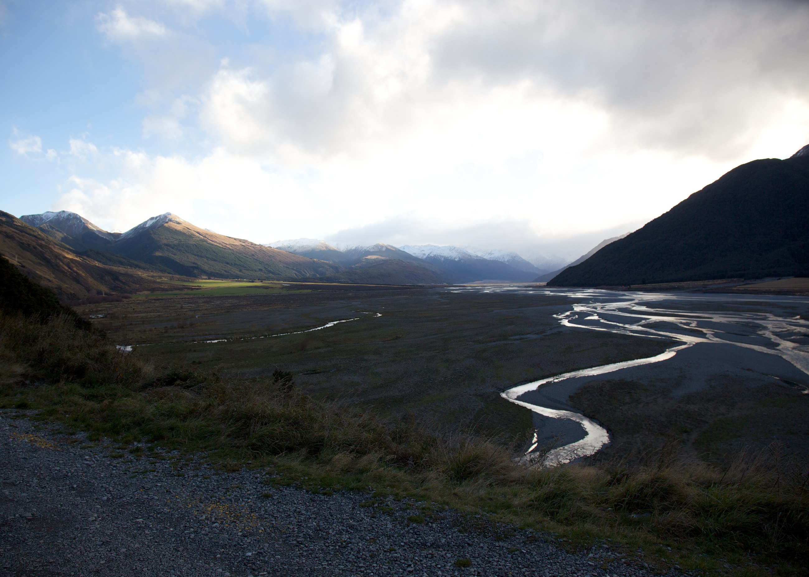
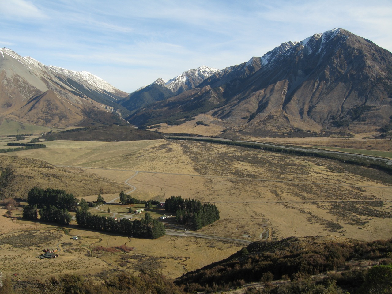
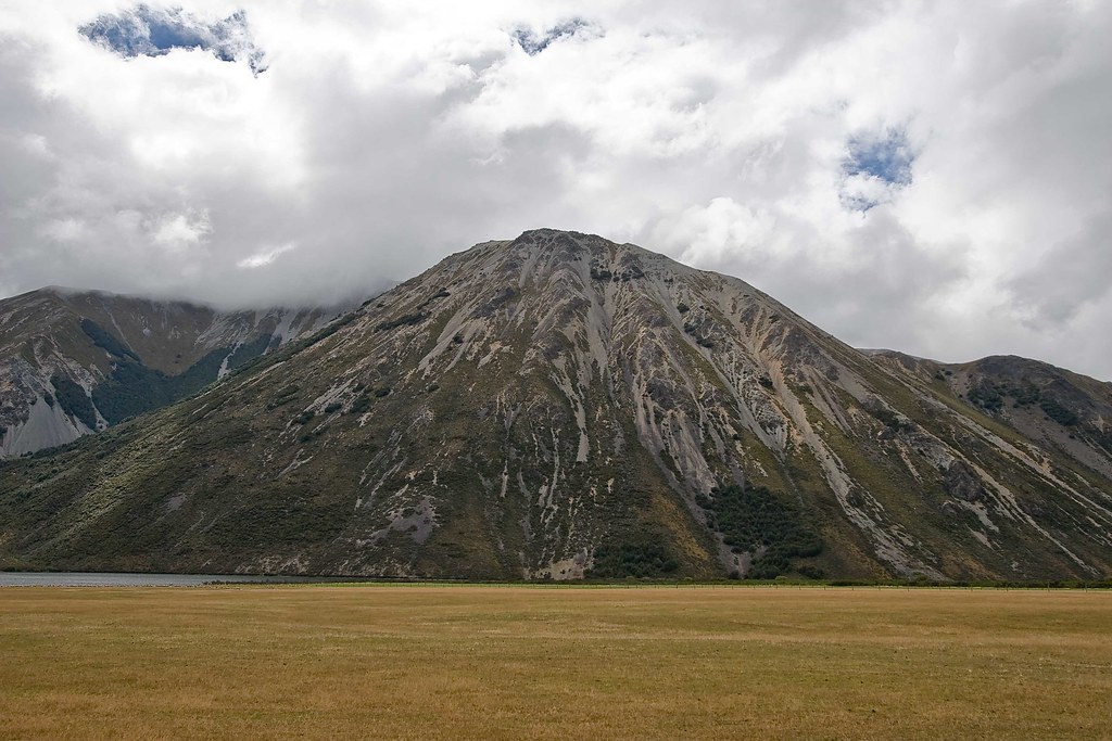
Fotos
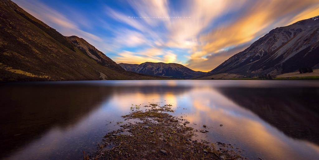
lake pearson (moana rua)

doogan_110801_3066-2
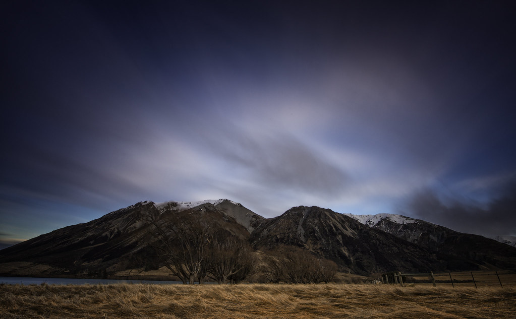
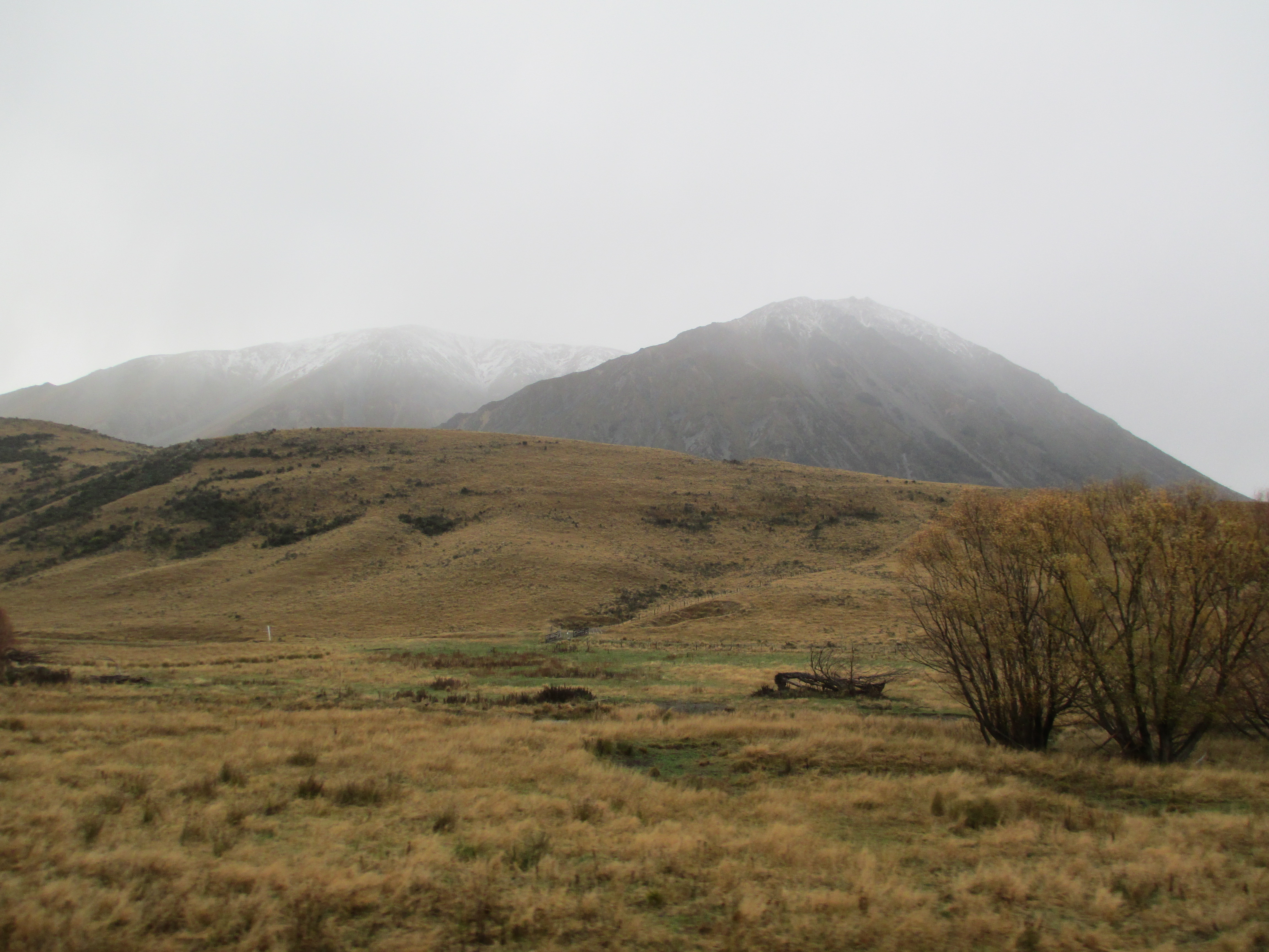
sunset on the mountains
more sunset on the mountains
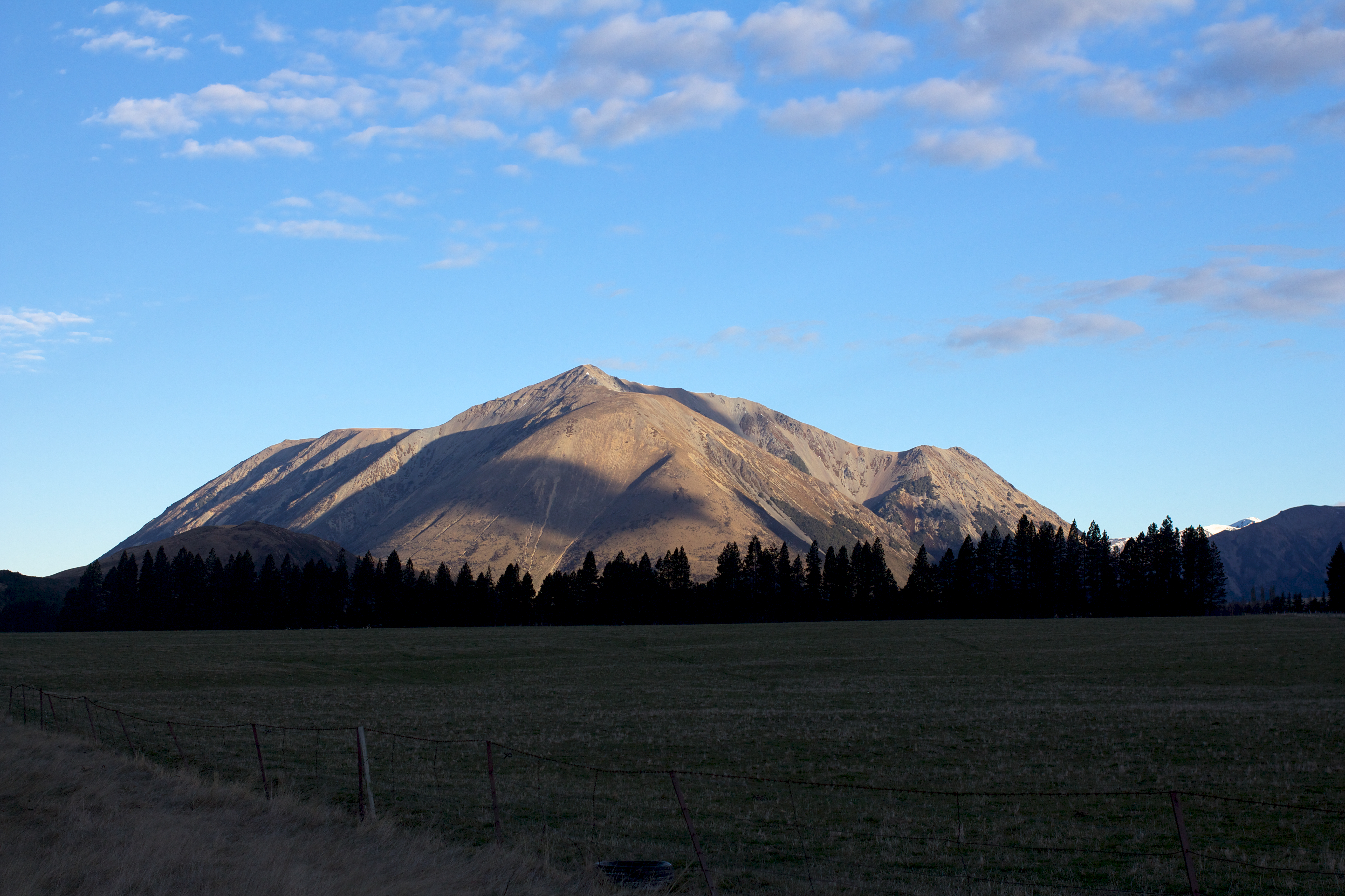
Mt Manson

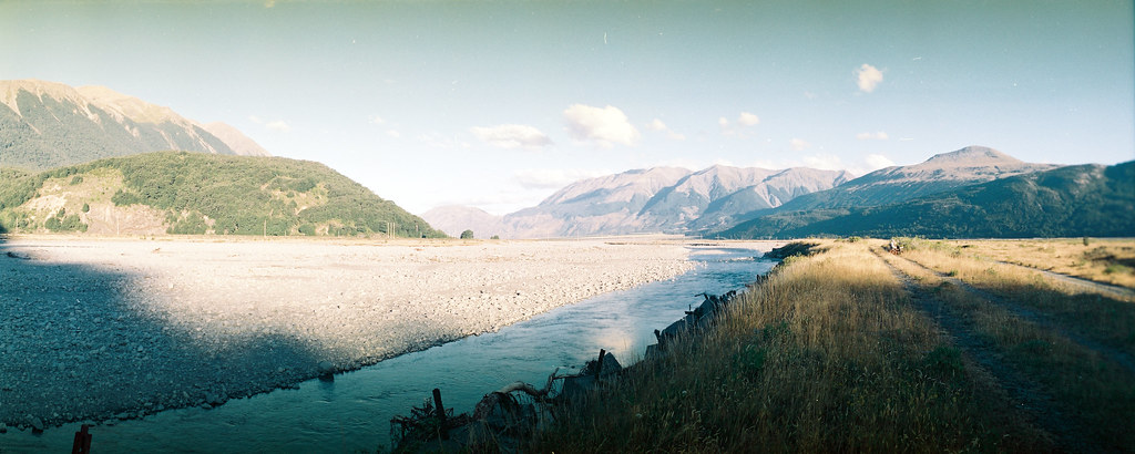
Waimakariri ribbons
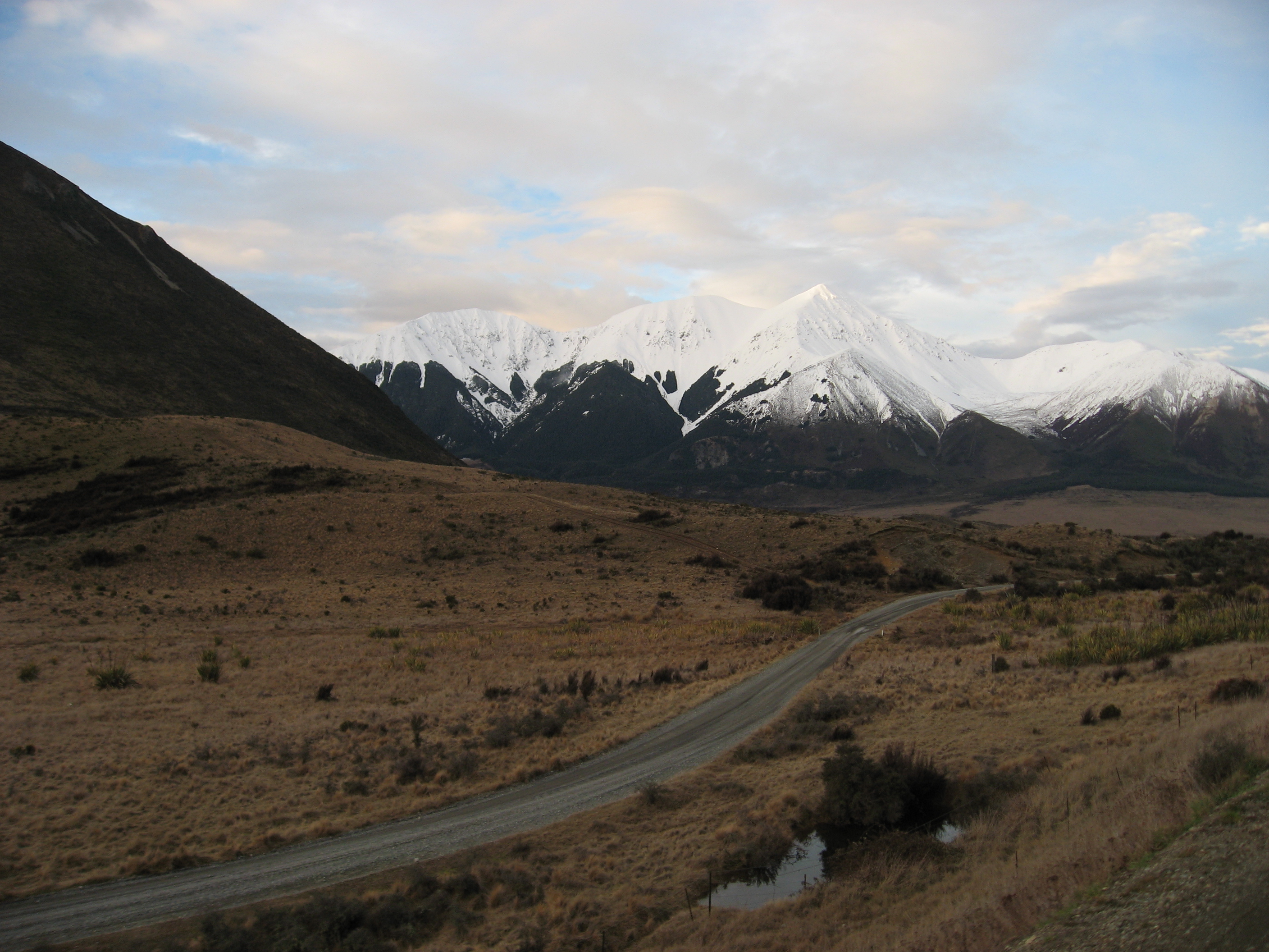
Arthur's Pass
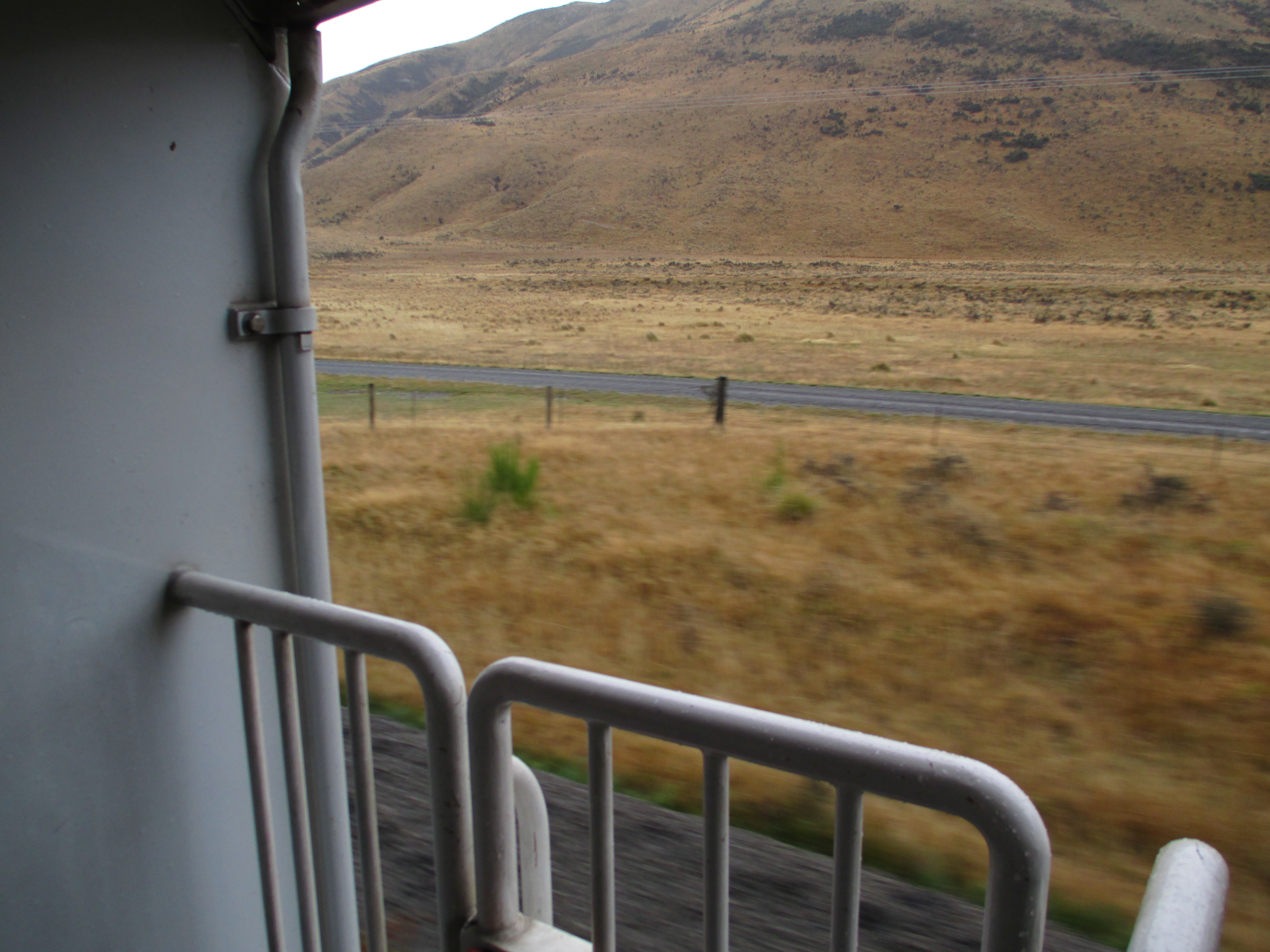
View from TranzScenic

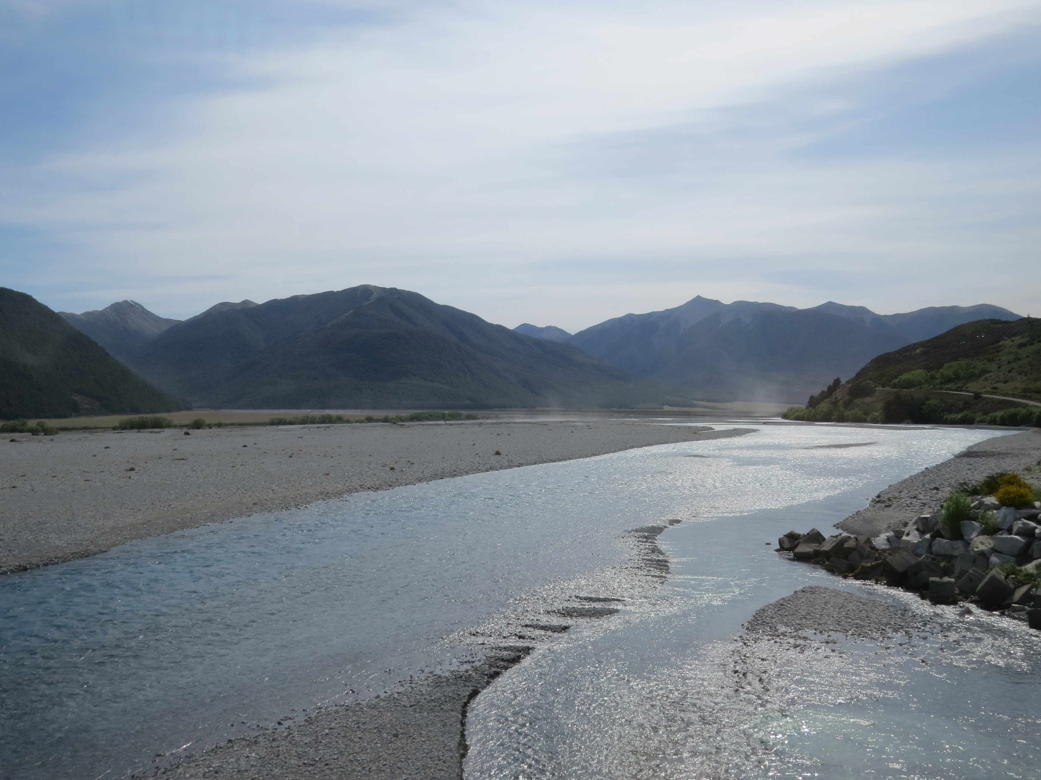
Hidden Lake...
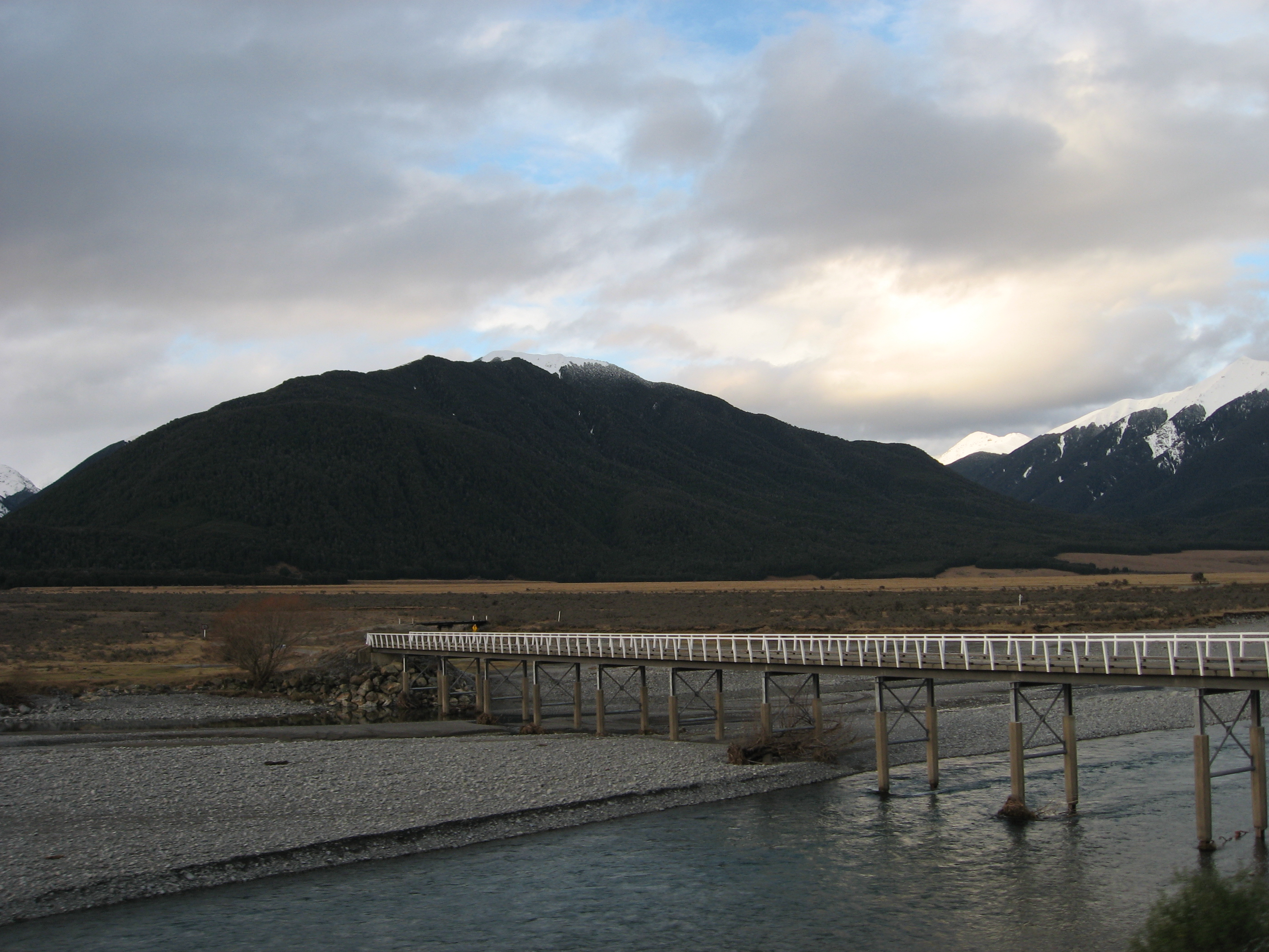
View of the Waimakariri River in a KiwiRail train
View from TranzScenic
mountain view

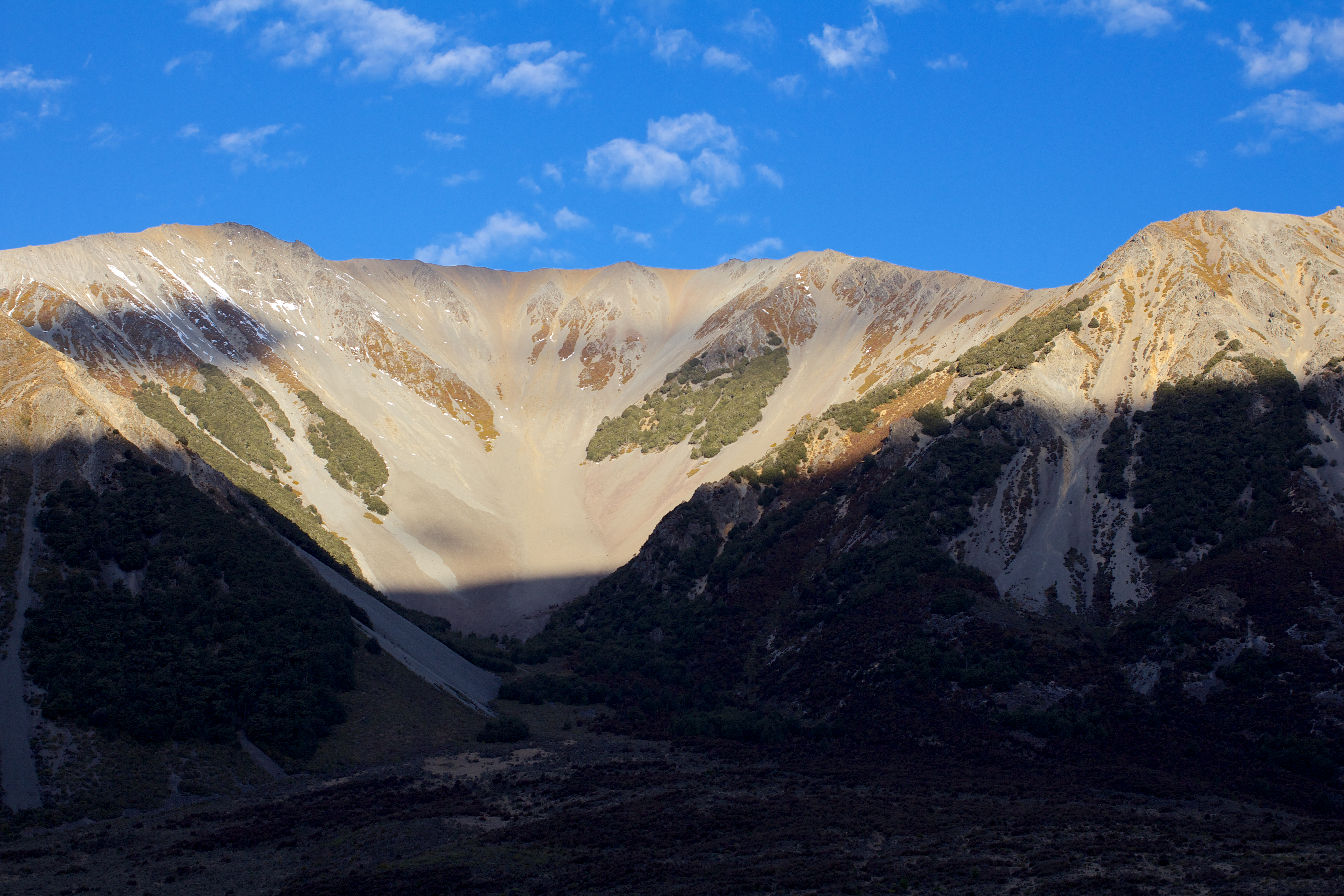
View from Hamilton Peak, Craigieburn
IMG_1708 - Version 2
Mount Misery on a nice day
it's undeniable
The changing landscape as viewed from the Tranz Alpine Express travelling from Christchurch to Greymouth (West Coast)
View from Tranz Alpine Express near Craigieburn
Mount Binser, Canterbury, Neuseeland Karte
Suchen Sie einen anderen Ort
Nahe Plätze
Gray Hill, Canterbury, Neuseeland
Arthur's Pass National Park, Canterbury, Neuseeland
Castle Hill, Neuseeland
Bealey, Neuseeland
7 Torlesse Pl, Castle Hill, Neuseeland
Castle Hill Peak, Canterbury, Neuseeland
Selwyn-Distrikt, Canterbury, Neuseeland
Mount Turnbull, Canterbury, Neuseeland
Waimakariri River, Canterbury, Neuseeland
Mount Enys, Canterbury, Neuseeland
Lake Lyndon, Canterbury, Neuseeland
Springfield, Canterbury, Neuseeland
Springfield, Neuseeland
Lees Valley, Neuseeland
View Hill, Neuseeland
Otira, Neuseeland
Mount Alexander, West Coast, Neuseeland
Oxford, Neuseeland
Lake Taylor, Canterbury, Neuseeland
50 Horns Road, Starvation Hill, Neuseeland
Letzte Suche
- Red Dog Mine, AK, USA Sonnenaufgang Sonnenuntergang Zeiten
- Am Bahnhof, Am bhf, Borken, Germany Sonnenaufgang Sonnenuntergang Zeiten
- 4th St E, Sonoma, CA, USA Sonnenaufgang Sonnenuntergang Zeiten
- Oakland Ave, Williamsport, PA, USA Sonnenaufgang Sonnenuntergang Zeiten
- Via Roma, Pieranica CR, Italien Sonnenaufgang Sonnenuntergang Zeiten
- Glockenturm, Grad, Dubrovnik, Kroatien Sonnenaufgang Sonnenuntergang Zeiten
- Trelew, Chubut Province, Argentina Sonnenaufgang Sonnenuntergang Zeiten
- Hartfords Bluff Cir, Mt Pleasant, SC, USA Sonnenaufgang Sonnenuntergang Zeiten
- Kita-ku, Kumamoto, Präfektur Kumamoto, Japan Sonnenaufgang Sonnenuntergang Zeiten
- Pingtan Island, Pingtan County, Fuzhou, China Sonnenaufgang Sonnenuntergang Zeiten