| Zeitzone: | Nordamerikanische Zentral-Normalzeit |
|---|---|
| Ortszeit: | Montag, 9. November 2026 09:38 |
| Länge: | -96.028047 |
| Breite: | 39.084722 |
| Sonnenaufgang Heute: | 07:01:45 |
| Sonnenuntergang Heute: | 17:16:48 |
| Tageslänge heute: | 10h 15m 2s |
| Sonnenaufgang morgen: | 07:02:53 |
| Sonnenuntergang Morgen: | 17:15:53 |
| Tageslänge von morgen: | 10h 12m 59s |
: Alle Termine anzeigen
| Datum | Sonnenaufgang | Sonnenuntergang | Tageslänge |
|---|---|---|---|
| 1. Jan. 2026 | 07:44:23 | 17:12:22 | 9h 27m 58s |
| 1. Feb. 2026 | 07:32:57 | 17:44:39 | 10h 11m 41s |
| 1. März 2026 | 06:59:43 | 18:16:32 | 11h 16m 48s |
| 1. Apr. 2026 | 07:11:26 | 19:47:24 | 12h 35m 58s |
| 1. Mai 2026 | 06:28:22 | 20:16:40 | 13h 48m 18s |
| 1. Juni 2026 | 06:01:59 | 20:44:32 | 14h 42m 32s |
| 1. Juli 2026 | 06:02:34 | 20:55:16 | 14h 52m 41s |
| 1. Aug. 2026 | 06:24:54 | 20:38:30 | 14h 13m 36s |
| 1. Sep. 2026 | 06:53:21 | 19:58:34 | 13h 5m 13s |
| 1. Okt. 2026 | 07:20:16 | 19:10:24 | 11h 50m 8s |
| 1. Nov. 2026 | 07:51:40 | 18:26:14 | 10h 34m 34s |
| 9. Nov. 2026 | 07:00:38 | 17:17:45 | 10h 17m 7s |
| 10. Nov. 2026 | 07:01:45 | 17:16:48 | 10h 15m 2s |
| 1. Dez. 2026 | 07:24:41 | 17:03:53 | 9h 39m 11s |
Fotos von Sonnenaufgang und Sonnenuntergang

The Sun Shines Through by ThomasWMutherJr

End of Day by ThomasWMutherJr

Flint Hills Sunrise, Panorama, 9 May 2009 by photography.by.ROEVER

Sunset over the Graveyard and Church by ThomasWMutherJr

Deserted Home Near Maple Hill, Kansas by ThomasWMutherJr

I-70 & Flint Hills, 9 May 2009 by photography.by.ROEVER

I-70 Traffic after sunset (10 sec), 4 May 2017 by photography.by.ROEVER

Flint Hills Panorama, 9 May 2009 by photography.by.ROEVER

Colorful Sunset near Maple Hill, 27 Jan 2016 by photography.by.ROEVER

Before Sunrise, 9 May 2009 by photography.by.ROEVER

Sunrise, 9 May 2009 by photography.by.ROEVER

Sunrise, 9 May 2009 by photography.by.ROEVER
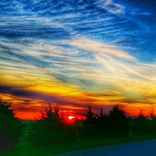
#sunrisewx #Topeka #Kansas by I80_Queen

IMAG0099 by LifeIsForEnjoying