| Zeitzone: | Nordamerikanische Westküsten-Normalzeit |
|---|---|
| Ortszeit: | Samstag, 21. November 2026 21:50 |
| Länge: | -118.4645378 |
| Breite: | 49.035578 |
| Sonnenaufgang Heute: | 07:14:09 |
| Sonnenuntergang Heute: | 16:08:18 |
| Tageslänge heute: | 8h 54m 8s |
| Sonnenaufgang morgen: | 07:15:38 |
| Sonnenuntergang Morgen: | 16:07:20 |
| Tageslänge von morgen: | 8h 51m 41s |
: Alle Termine anzeigen
| Datum | Sonnenaufgang | Sonnenuntergang | Tageslänge |
|---|---|---|---|
| 1. Jan. 2026 | 07:49:21 | 16:06:57 | 8h 17m 35s |
| 1. Feb. 2026 | 07:27:08 | 16:49:59 | 9h 22m 50s |
| 1. März 2026 | 06:39:27 | 17:36:17 | 10h 56m 49s |
| 1. Apr. 2026 | 06:34:30 | 19:23:47 | 12h 49m 16s |
| 1. Mai 2026 | 05:35:42 | 20:08:48 | 14h 33m 5s |
| 1. Juni 2026 | 04:56:13 | 20:49:49 | 15h 53m 36s |
| 1. Juli 2026 | 04:54:11 | 21:03:10 | 16h 8m 58s |
| 1. Aug. 2026 | 05:26:30 | 20:36:24 | 15h 9m 54s |
| 1. Sep. 2026 | 06:10:25 | 19:40:57 | 13h 30m 31s |
| 1. Okt. 2026 | 06:53:10 | 18:36:56 | 11h 43m 46s |
| 1. Nov. 2026 | 07:40:48 | 17:36:35 | 9h 55m 46s |
| 22. Nov. 2026 | 07:14:09 | 16:08:18 | 8h 54m 8s |
| 23. Nov. 2026 | 07:15:38 | 16:07:20 | 8h 51m 41s |
| 1. Dez. 2026 | 07:26:53 | 16:01:13 | 8h 34m 20s |
Fotos von Sonnenaufgang und Sonnenuntergang

Autumn Reflections by GaryTrent photography Canada

Forest Sunset by Vurnman

Round the Bend by Slappy Vandelay
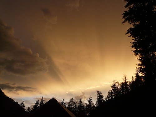
Flare by Vurnman

Round the Bend - Version 2 by Slappy Vandelay

Down the Road by Slappy Vandelay

Margarita sunset by Mr.P

DSC_0005 1k by fosterfanning

Sunset along the Crowsnest Highway by A. Wee

Sunset drive by A. Wee

tct_Canada_09_29_3774 by trvon-