| Zeitzone: | Nordamerikanische Westküsten-Normalzeit |
|---|---|
| Ortszeit: | Montag, 9. November 2026 05:09 |
| Länge: | -118.6543316 |
| Breite: | 35.8042281 |
| Sonnenaufgang Heute: | 06:26:03 |
| Sonnenuntergang Heute: | 16:53:32 |
| Tageslänge heute: | 10h 27m 28s |
| Sonnenaufgang morgen: | 06:27:04 |
| Sonnenuntergang Morgen: | 16:52:44 |
| Tageslänge von morgen: | 10h 25m 40s |
: Alle Termine anzeigen
| Datum | Sonnenaufgang | Sonnenuntergang | Tageslänge |
|---|---|---|---|
| 1. Jan. 2026 | 07:05:47 | 16:52:02 | 9h 46m 14s |
| 1. Feb. 2026 | 06:56:56 | 17:21:41 | 10h 24m 45s |
| 1. März 2026 | 06:27:25 | 17:49:49 | 11h 22m 23s |
| 1. Apr. 2026 | 06:43:34 | 19:16:15 | 12h 32m 40s |
| 1. Mai 2026 | 06:04:39 | 19:41:23 | 13h 36m 44s |
| 1. Juni 2026 | 05:41:34 | 20:05:59 | 14h 24m 25s |
| 1. Juli 2026 | 05:42:50 | 20:16:03 | 14h 33m 13s |
| 1. Aug. 2026 | 06:02:48 | 20:01:37 | 13h 58m 49s |
| 1. Sep. 2026 | 06:27:16 | 19:25:37 | 12h 58m 21s |
| 1. Okt. 2026 | 06:49:58 | 18:41:40 | 11h 51m 41s |
| 1. Nov. 2026 | 07:17:05 | 18:01:49 | 10h 44m 43s |
| 9. Nov. 2026 | 06:25:02 | 16:54:21 | 10h 29m 18s |
| 10. Nov. 2026 | 06:26:03 | 16:53:32 | 10h 27m 28s |
| 1. Dez. 2026 | 06:46:50 | 16:42:48 | 9h 55m 58s |
Fotos von Sonnenaufgang und Sonnenuntergang

Foothill Road Sunset by wyojones

Sunset Tree by wyojones
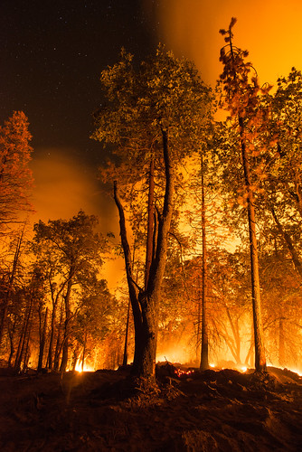
20160824-FS-LSC-1330 by USDAgov
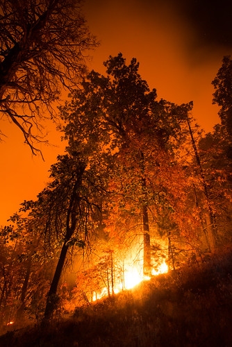
20160824-FS-LSC-1348 by USDAgov
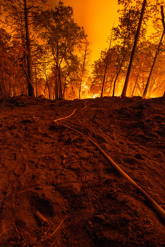
20160824-FS-LSC-1346 by USDAgov

20160824-FS-LSC-1349 by USDAgov

Foothill Sunset by wyojones
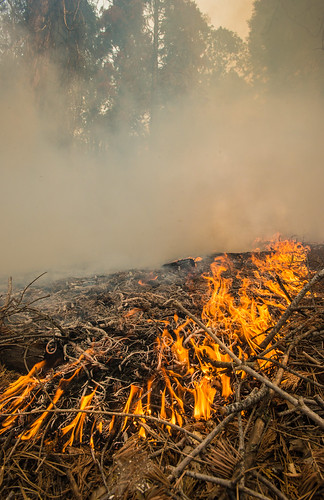
20160824-FS-LSC-0519 by USDAgov
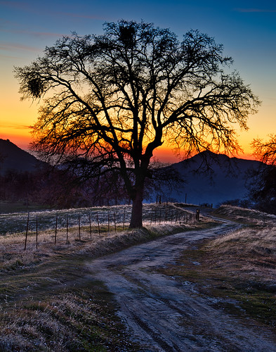
The Tree by M-Kuhns

California Hot Springs/ Trail of 100 Giants Thanksgiving by reverendlukewarm

Moon and Venus at sunset. by tbird0322
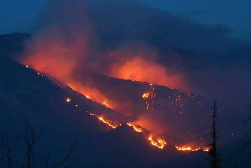
0603-205120 by yourmap

Sunset at Pine Flat by tbird0322

USA Trip 2013 - Los Angeles ... San Francisco ... Las Vegas by Jürgen Hendrik