Lussier Peak, East Kootenay F, BC V0B, Kanada Sonnenaufgang Sonnenuntergang Zeiten
Location: Kanada > Britisch-Kolumbien > Regional District of East Kootenay > East Kootenay F >
Zeitzone:
America/Edmonton
Ortszeit:
2025-07-13 05:03:48
Länge:
-115.7133333
Breite:
50.085
Sonnenaufgang Heute:
05:48:49 AM
Sonnenuntergang Heute:
09:48:38 PM
Tageslänge heute:
15h 59m 49s
Sonnenaufgang morgen:
05:49:55 AM
Sonnenuntergang Morgen:
09:47:45 PM
Tageslänge von morgen:
15h 57m 50s
Alle Termine anzeigen
| Datum | Sonnenaufgang | Sonnenuntergang | Tageslänge |
|---|---|---|---|
| 2025-01-01 | 08:41:24 AM | 04:52:41 PM | 8h 11m 17s |
| 2025-01-02 | 08:41:14 AM | 04:53:47 PM | 8h 12m 33s |
| 2025-01-03 | 08:41:01 AM | 04:54:54 PM | 8h 13m 53s |
| 2025-01-04 | 08:40:45 AM | 04:56:04 PM | 8h 15m 19s |
| 2025-01-05 | 08:40:25 AM | 04:57:16 PM | 8h 16m 51s |
| 2025-01-06 | 08:40:03 AM | 04:58:30 PM | 8h 18m 27s |
| 2025-01-07 | 08:39:37 AM | 04:59:46 PM | 8h 20m 9s |
| 2025-01-08 | 08:39:09 AM | 05:01:05 PM | 8h 21m 56s |
| 2025-01-09 | 08:38:37 AM | 05:02:25 PM | 8h 23m 48s |
| 2025-01-10 | 08:38:02 AM | 05:03:47 PM | 8h 25m 45s |
| 2025-01-11 | 08:37:25 AM | 05:05:10 PM | 8h 27m 45s |
| 2025-01-12 | 08:36:44 AM | 05:06:35 PM | 8h 29m 51s |
| 2025-01-13 | 08:36:01 AM | 05:08:02 PM | 8h 32m 1s |
| 2025-01-14 | 08:35:15 AM | 05:09:31 PM | 8h 34m 16s |
| 2025-01-15 | 08:34:26 AM | 05:11:00 PM | 8h 36m 34s |
| 2025-01-16 | 08:33:34 AM | 05:12:31 PM | 8h 38m 57s |
| 2025-01-17 | 08:32:40 AM | 05:14:04 PM | 8h 41m 24s |
| 2025-01-18 | 08:31:43 AM | 05:15:37 PM | 8h 43m 54s |
| 2025-01-19 | 08:30:43 AM | 05:17:12 PM | 8h 46m 29s |
| 2025-01-20 | 08:29:41 AM | 05:18:48 PM | 8h 49m 7s |
| 2025-01-21 | 08:28:37 AM | 05:20:24 PM | 8h 51m 47s |
| 2025-01-22 | 08:27:30 AM | 05:22:02 PM | 8h 54m 32s |
| 2025-01-23 | 08:26:20 AM | 05:23:40 PM | 8h 57m 20s |
| 2025-01-24 | 08:25:08 AM | 05:25:19 PM | 9h 0m 11s |
| 2025-01-25 | 08:23:54 AM | 05:26:59 PM | 9h 3m 5s |
| 2025-01-26 | 08:22:38 AM | 05:28:39 PM | 9h 6m 1s |
| 2025-01-27 | 08:21:20 AM | 05:30:20 PM | 9h 9m 0s |
| 2025-01-28 | 08:19:59 AM | 05:32:02 PM | 9h 12m 3s |
| 2025-01-29 | 08:18:36 AM | 05:33:44 PM | 9h 15m 8s |
| 2025-01-30 | 08:17:11 AM | 05:35:26 PM | 9h 18m 15s |
| 2025-01-31 | 08:15:45 AM | 05:37:09 PM | 9h 21m 24s |
| 2025-02-01 | 08:14:16 AM | 05:38:52 PM | 9h 24m 36s |
| 2025-02-02 | 08:12:46 AM | 05:40:35 PM | 9h 27m 49s |
| 2025-02-03 | 08:11:13 AM | 05:42:19 PM | 9h 31m 6s |
| 2025-02-04 | 08:09:39 AM | 05:44:02 PM | 9h 34m 23s |
| 2025-02-05 | 08:08:03 AM | 05:45:46 PM | 9h 37m 43s |
| 2025-02-06 | 08:06:25 AM | 05:47:30 PM | 9h 41m 5s |
| 2025-02-07 | 08:04:46 AM | 05:49:14 PM | 9h 44m 28s |
| 2025-02-08 | 08:03:05 AM | 05:50:58 PM | 9h 47m 53s |
| 2025-02-09 | 08:01:23 AM | 05:52:42 PM | 9h 51m 19s |
| 2025-02-10 | 07:59:39 AM | 05:54:26 PM | 9h 54m 47s |
| 2025-02-11 | 07:57:54 AM | 05:56:09 PM | 9h 58m 15s |
| 2025-02-12 | 07:56:07 AM | 05:57:53 PM | 10h 1m 46s |
| 2025-02-13 | 07:54:19 AM | 05:59:37 PM | 10h 5m 18s |
| 2025-02-14 | 07:52:30 AM | 06:01:20 PM | 10h 8m 50s |
| 2025-02-15 | 07:50:39 AM | 06:03:03 PM | 10h 12m 24s |
| 2025-02-16 | 07:48:47 AM | 06:04:46 PM | 10h 15m 59s |
| 2025-02-17 | 07:46:54 AM | 06:06:29 PM | 10h 19m 35s |
| 2025-02-18 | 07:45:00 AM | 06:08:12 PM | 10h 23m 12s |
| 2025-02-19 | 07:43:05 AM | 06:09:54 PM | 10h 26m 49s |
| 2025-02-20 | 07:41:09 AM | 06:11:37 PM | 10h 30m 28s |
| 2025-02-21 | 07:39:11 AM | 06:13:19 PM | 10h 34m 8s |
| 2025-02-22 | 07:37:13 AM | 06:15:00 PM | 10h 37m 47s |
| 2025-02-23 | 07:35:14 AM | 06:16:42 PM | 10h 41m 28s |
| 2025-02-24 | 07:33:14 AM | 06:18:23 PM | 10h 45m 9s |
| 2025-02-25 | 07:31:13 AM | 06:20:04 PM | 10h 48m 51s |
| 2025-02-26 | 07:29:11 AM | 06:21:45 PM | 10h 52m 34s |
| 2025-02-27 | 07:27:08 AM | 06:23:25 PM | 10h 56m 17s |
| 2025-02-28 | 07:25:05 AM | 06:25:05 PM | 11h 0m 0s |
| 2025-03-01 | 07:23:01 AM | 06:26:45 PM | 11h 3m 44s |
| 2025-03-02 | 07:20:56 AM | 06:28:24 PM | 11h 7m 28s |
| 2025-03-03 | 07:18:51 AM | 06:30:03 PM | 11h 11m 12s |
| 2025-03-04 | 07:16:45 AM | 06:31:42 PM | 11h 14m 57s |
| 2025-03-05 | 07:14:38 AM | 06:33:21 PM | 11h 18m 43s |
| 2025-03-06 | 07:12:31 AM | 06:35:00 PM | 11h 22m 29s |
| 2025-03-07 | 07:10:24 AM | 06:36:38 PM | 11h 26m 14s |
| 2025-03-08 | 07:08:16 AM | 06:38:16 PM | 11h 30m 0s |
| 2025-03-09 | 08:06:12 AM | 07:39:49 PM | 11h 33m 37s |
| 2025-03-10 | 08:04:04 AM | 07:41:27 PM | 11h 37m 23s |
| 2025-03-11 | 08:01:54 AM | 07:43:04 PM | 11h 41m 10s |
| 2025-03-12 | 07:59:45 AM | 07:44:41 PM | 11h 44m 56s |
| 2025-03-13 | 07:57:35 AM | 07:46:18 PM | 11h 48m 43s |
| 2025-03-14 | 07:55:25 AM | 07:47:54 PM | 11h 52m 29s |
| 2025-03-15 | 07:53:14 AM | 07:49:31 PM | 11h 56m 17s |
| 2025-03-16 | 07:51:04 AM | 07:51:07 PM | 12h 0m 3s |
| 2025-03-17 | 07:48:53 AM | 07:52:43 PM | 12h 3m 50s |
| 2025-03-18 | 07:46:42 AM | 07:54:19 PM | 12h 7m 37s |
| 2025-03-19 | 07:44:31 AM | 07:55:54 PM | 12h 11m 23s |
| 2025-03-20 | 07:42:19 AM | 07:57:30 PM | 12h 15m 11s |
| 2025-03-21 | 07:40:08 AM | 07:59:05 PM | 12h 18m 57s |
| 2025-03-22 | 07:37:57 AM | 08:00:41 PM | 12h 22m 44s |
| 2025-03-23 | 07:35:46 AM | 08:02:16 PM | 12h 26m 30s |
| 2025-03-24 | 07:33:34 AM | 08:03:51 PM | 12h 30m 17s |
| 2025-03-25 | 07:31:23 AM | 08:05:26 PM | 12h 34m 3s |
| 2025-03-26 | 07:29:12 AM | 08:07:01 PM | 12h 37m 49s |
| 2025-03-27 | 07:27:01 AM | 08:08:35 PM | 12h 41m 34s |
| 2025-03-28 | 07:24:50 AM | 08:10:10 PM | 12h 45m 20s |
| 2025-03-29 | 07:22:40 AM | 08:11:45 PM | 12h 49m 5s |
| 2025-03-30 | 07:20:29 AM | 08:13:19 PM | 12h 52m 50s |
| 2025-03-31 | 07:18:19 AM | 08:14:54 PM | 12h 56m 35s |
| 2025-04-01 | 07:16:09 AM | 08:16:28 PM | 13h 0m 19s |
| 2025-04-02 | 07:14:00 AM | 08:18:03 PM | 13h 4m 3s |
| 2025-04-03 | 07:11:51 AM | 08:19:37 PM | 13h 7m 46s |
| 2025-04-04 | 07:09:42 AM | 08:21:12 PM | 13h 11m 30s |
| 2025-04-05 | 07:07:33 AM | 08:22:46 PM | 13h 15m 13s |
| 2025-04-06 | 07:05:26 AM | 08:24:20 PM | 13h 18m 54s |
| 2025-04-07 | 07:03:18 AM | 08:25:55 PM | 13h 22m 37s |
| 2025-04-08 | 07:01:11 AM | 08:27:29 PM | 13h 26m 18s |
| 2025-04-09 | 06:59:05 AM | 08:29:03 PM | 13h 29m 58s |
| 2025-04-10 | 06:56:59 AM | 08:30:38 PM | 13h 33m 39s |
| 2025-04-11 | 06:54:53 AM | 08:32:12 PM | 13h 37m 19s |
| 2025-04-12 | 06:52:49 AM | 08:33:46 PM | 13h 40m 57s |
| 2025-04-13 | 06:50:45 AM | 08:35:21 PM | 13h 44m 36s |
| 2025-04-14 | 06:48:42 AM | 08:36:55 PM | 13h 48m 13s |
| 2025-04-15 | 06:46:39 AM | 08:38:29 PM | 13h 51m 50s |
| 2025-04-16 | 06:44:37 AM | 08:40:03 PM | 13h 55m 26s |
| 2025-04-17 | 06:42:36 AM | 08:41:38 PM | 13h 59m 2s |
| 2025-04-18 | 06:40:36 AM | 08:43:12 PM | 14h 2m 36s |
| 2025-04-19 | 06:38:37 AM | 08:44:46 PM | 14h 6m 9s |
| 2025-04-20 | 06:36:39 AM | 08:46:20 PM | 14h 9m 41s |
| 2025-04-21 | 06:34:42 AM | 08:47:54 PM | 14h 13m 12s |
| 2025-04-22 | 06:32:46 AM | 08:49:28 PM | 14h 16m 42s |
| 2025-04-23 | 06:30:50 AM | 08:51:01 PM | 14h 20m 11s |
| 2025-04-24 | 06:28:56 AM | 08:52:35 PM | 14h 23m 39s |
| 2025-04-25 | 06:27:03 AM | 08:54:09 PM | 14h 27m 6s |
| 2025-04-26 | 06:25:11 AM | 08:55:42 PM | 14h 30m 31s |
| 2025-04-27 | 06:23:21 AM | 08:57:15 PM | 14h 33m 54s |
| 2025-04-28 | 06:21:31 AM | 08:58:48 PM | 14h 37m 17s |
| 2025-04-29 | 06:19:43 AM | 09:00:21 PM | 14h 40m 38s |
| 2025-04-30 | 06:17:57 AM | 09:01:53 PM | 14h 43m 56s |
| 2025-05-01 | 06:16:11 AM | 09:03:25 PM | 14h 47m 14s |
| 2025-05-02 | 06:14:27 AM | 09:04:57 PM | 14h 50m 30s |
| 2025-05-03 | 06:12:45 AM | 09:06:28 PM | 14h 53m 43s |
| 2025-05-04 | 06:11:04 AM | 09:07:59 PM | 14h 56m 55s |
| 2025-05-05 | 06:09:24 AM | 09:09:30 PM | 15h 0m 6s |
| 2025-05-06 | 06:07:46 AM | 09:11:00 PM | 15h 3m 14s |
| 2025-05-07 | 06:06:10 AM | 09:12:30 PM | 15h 6m 20s |
| 2025-05-08 | 06:04:35 AM | 09:13:59 PM | 15h 9m 24s |
| 2025-05-09 | 06:03:03 AM | 09:15:28 PM | 15h 12m 25s |
| 2025-05-10 | 06:01:32 AM | 09:16:55 PM | 15h 15m 23s |
| 2025-05-11 | 06:00:02 AM | 09:18:23 PM | 15h 18m 21s |
| 2025-05-12 | 05:58:35 AM | 09:19:49 PM | 15h 21m 14s |
| 2025-05-13 | 05:57:09 AM | 09:21:15 PM | 15h 24m 6s |
| 2025-05-14 | 05:55:46 AM | 09:22:40 PM | 15h 26m 54s |
| 2025-05-15 | 05:54:24 AM | 09:24:04 PM | 15h 29m 40s |
| 2025-05-16 | 05:53:05 AM | 09:25:27 PM | 15h 32m 22s |
| 2025-05-17 | 05:51:48 AM | 09:26:49 PM | 15h 35m 1s |
| 2025-05-18 | 05:50:32 AM | 09:28:10 PM | 15h 37m 38s |
| 2025-05-19 | 05:49:19 AM | 09:29:30 PM | 15h 40m 11s |
| 2025-05-20 | 05:48:09 AM | 09:30:49 PM | 15h 42m 40s |
| 2025-05-21 | 05:47:00 AM | 09:32:07 PM | 15h 45m 7s |
| 2025-05-22 | 05:45:54 AM | 09:33:23 PM | 15h 47m 29s |
| 2025-05-23 | 05:44:50 AM | 09:34:38 PM | 15h 49m 48s |
| 2025-05-24 | 05:43:49 AM | 09:35:52 PM | 15h 52m 3s |
| 2025-05-25 | 05:42:50 AM | 09:37:04 PM | 15h 54m 14s |
| 2025-05-26 | 05:41:53 AM | 09:38:14 PM | 15h 56m 21s |
| 2025-05-27 | 05:40:59 AM | 09:39:23 PM | 15h 58m 24s |
| 2025-05-28 | 05:40:08 AM | 09:40:31 PM | 16h 0m 23s |
| 2025-05-29 | 05:39:19 AM | 09:41:36 PM | 16h 2m 17s |
| 2025-05-30 | 05:38:32 AM | 09:42:40 PM | 16h 4m 8s |
| 2025-05-31 | 05:37:49 AM | 09:43:42 PM | 16h 5m 53s |
| 2025-06-01 | 05:37:08 AM | 09:44:42 PM | 16h 7m 34s |
| 2025-06-02 | 05:36:30 AM | 09:45:40 PM | 16h 9m 10s |
| 2025-06-03 | 05:35:55 AM | 09:46:36 PM | 16h 10m 41s |
| 2025-06-04 | 05:35:22 AM | 09:47:30 PM | 16h 12m 8s |
| 2025-06-05 | 05:34:52 AM | 09:48:22 PM | 16h 13m 30s |
| 2025-06-06 | 05:34:25 AM | 09:49:11 PM | 16h 14m 46s |
| 2025-06-07 | 05:34:01 AM | 09:49:58 PM | 16h 15m 57s |
| 2025-06-08 | 05:33:40 AM | 09:50:43 PM | 16h 17m 3s |
| 2025-06-09 | 05:33:21 AM | 09:51:26 PM | 16h 18m 5s |
| 2025-06-10 | 05:33:06 AM | 09:52:06 PM | 16h 19m 0s |
| 2025-06-11 | 05:32:53 AM | 09:52:43 PM | 16h 19m 50s |
| 2025-06-12 | 05:32:43 AM | 09:53:18 PM | 16h 20m 35s |
| 2025-06-13 | 05:32:36 AM | 09:53:50 PM | 16h 21m 14s |
| 2025-06-14 | 05:32:32 AM | 09:54:20 PM | 16h 21m 48s |
| 2025-06-15 | 05:32:31 AM | 09:54:47 PM | 16h 22m 16s |
| 2025-06-16 | 05:32:33 AM | 09:55:12 PM | 16h 22m 39s |
| 2025-06-17 | 05:32:37 AM | 09:55:33 PM | 16h 22m 56s |
| 2025-06-18 | 05:32:44 AM | 09:55:52 PM | 16h 23m 8s |
| 2025-06-19 | 05:32:55 AM | 09:56:08 PM | 16h 23m 13s |
| 2025-06-20 | 05:33:08 AM | 09:56:21 PM | 16h 23m 13s |
| 2025-06-21 | 05:33:23 AM | 09:56:31 PM | 16h 23m 8s |
| 2025-06-22 | 05:33:42 AM | 09:56:39 PM | 16h 22m 57s |
| 2025-06-23 | 05:34:03 AM | 09:56:43 PM | 16h 22m 40s |
| 2025-06-24 | 05:34:27 AM | 09:56:45 PM | 16h 22m 18s |
| 2025-06-25 | 05:34:54 AM | 09:56:44 PM | 16h 21m 50s |
| 2025-06-26 | 05:35:23 AM | 09:56:39 PM | 16h 21m 16s |
| 2025-06-27 | 05:35:54 AM | 09:56:32 PM | 16h 20m 38s |
| 2025-06-28 | 05:36:29 AM | 09:56:22 PM | 16h 19m 53s |
| 2025-06-29 | 05:37:05 AM | 09:56:09 PM | 16h 19m 4s |
| 2025-06-30 | 05:37:44 AM | 09:55:53 PM | 16h 18m 9s |
| 2025-07-01 | 05:38:26 AM | 09:55:34 PM | 16h 17m 8s |
| 2025-07-02 | 05:39:10 AM | 09:55:12 PM | 16h 16m 2s |
| 2025-07-03 | 05:39:56 AM | 09:54:48 PM | 16h 14m 52s |
| 2025-07-04 | 05:40:44 AM | 09:54:20 PM | 16h 13m 36s |
| 2025-07-05 | 05:41:34 AM | 09:53:50 PM | 16h 12m 16s |
| 2025-07-06 | 05:42:27 AM | 09:53:17 PM | 16h 10m 50s |
| 2025-07-07 | 05:43:22 AM | 09:52:41 PM | 16h 9m 19s |
| 2025-07-08 | 05:44:18 AM | 09:52:02 PM | 16h 7m 44s |
| 2025-07-09 | 05:45:16 AM | 09:51:20 PM | 16h 6m 4s |
| 2025-07-10 | 05:46:17 AM | 09:50:36 PM | 16h 4m 19s |
| 2025-07-11 | 05:47:19 AM | 09:49:49 PM | 16h 2m 30s |
| 2025-07-12 | 05:48:22 AM | 09:49:00 PM | 16h 0m 38s |
| 2025-07-13 | 05:49:28 AM | 09:48:07 PM | 15h 58m 39s |
| 2025-07-14 | 05:50:35 AM | 09:47:13 PM | 15h 56m 38s |
| 2025-07-15 | 05:51:43 AM | 09:46:15 PM | 15h 54m 32s |
| 2025-07-16 | 05:52:53 AM | 09:45:16 PM | 15h 52m 23s |
| 2025-07-17 | 05:54:04 AM | 09:44:13 PM | 15h 50m 9s |
| 2025-07-18 | 05:55:17 AM | 09:43:09 PM | 15h 47m 52s |
| 2025-07-19 | 05:56:31 AM | 09:42:02 PM | 15h 45m 31s |
| 2025-07-20 | 05:57:46 AM | 09:40:52 PM | 15h 43m 6s |
| 2025-07-21 | 05:59:02 AM | 09:39:40 PM | 15h 40m 38s |
| 2025-07-22 | 06:00:19 AM | 09:38:27 PM | 15h 38m 8s |
| 2025-07-23 | 06:01:37 AM | 09:37:10 PM | 15h 35m 33s |
| 2025-07-24 | 06:02:57 AM | 09:35:52 PM | 15h 32m 55s |
| 2025-07-25 | 06:04:17 AM | 09:34:32 PM | 15h 30m 15s |
| 2025-07-26 | 06:05:38 AM | 09:33:09 PM | 15h 27m 31s |
| 2025-07-27 | 06:07:00 AM | 09:31:45 PM | 15h 24m 45s |
| 2025-07-28 | 06:08:22 AM | 09:30:19 PM | 15h 21m 57s |
| 2025-07-29 | 06:09:46 AM | 09:28:50 PM | 15h 19m 4s |
| 2025-07-30 | 06:11:10 AM | 09:27:20 PM | 15h 16m 10s |
| 2025-07-31 | 06:12:34 AM | 09:25:48 PM | 15h 13m 14s |
| 2025-08-01 | 06:13:59 AM | 09:24:14 PM | 15h 10m 15s |
| 2025-08-02 | 06:15:25 AM | 09:22:39 PM | 15h 7m 14s |
| 2025-08-03 | 06:16:51 AM | 09:21:01 PM | 15h 4m 10s |
| 2025-08-04 | 06:18:18 AM | 09:19:23 PM | 15h 1m 5s |
| 2025-08-05 | 06:19:45 AM | 09:17:42 PM | 14h 57m 57s |
| 2025-08-06 | 06:21:12 AM | 09:16:00 PM | 14h 54m 48s |
| 2025-08-07 | 06:22:40 AM | 09:14:17 PM | 14h 51m 37s |
| 2025-08-08 | 06:24:08 AM | 09:12:32 PM | 14h 48m 24s |
| 2025-08-09 | 06:25:36 AM | 09:10:45 PM | 14h 45m 9s |
| 2025-08-10 | 06:27:04 AM | 09:08:58 PM | 14h 41m 54s |
| 2025-08-11 | 06:28:33 AM | 09:07:08 PM | 14h 38m 35s |
| 2025-08-12 | 06:30:02 AM | 09:05:18 PM | 14h 35m 16s |
| 2025-08-13 | 06:31:31 AM | 09:03:26 PM | 14h 31m 55s |
| 2025-08-14 | 06:33:00 AM | 09:01:33 PM | 14h 28m 33s |
| 2025-08-15 | 06:34:29 AM | 08:59:39 PM | 14h 25m 10s |
| 2025-08-16 | 06:35:59 AM | 08:57:44 PM | 14h 21m 45s |
| 2025-08-17 | 06:37:28 AM | 08:55:48 PM | 14h 18m 20s |
| 2025-08-18 | 06:38:58 AM | 08:53:51 PM | 14h 14m 53s |
| 2025-08-19 | 06:40:28 AM | 08:51:52 PM | 14h 11m 24s |
| 2025-08-20 | 06:41:57 AM | 08:49:53 PM | 14h 7m 56s |
| 2025-08-21 | 06:43:27 AM | 08:47:53 PM | 14h 4m 26s |
| 2025-08-22 | 06:44:56 AM | 08:45:52 PM | 14h 0m 56s |
| 2025-08-23 | 06:46:26 AM | 08:43:50 PM | 13h 57m 24s |
| 2025-08-24 | 06:47:56 AM | 08:41:47 PM | 13h 53m 51s |
| 2025-08-25 | 06:49:26 AM | 08:39:43 PM | 13h 50m 17s |
| 2025-08-26 | 06:50:55 AM | 08:37:39 PM | 13h 46m 44s |
| 2025-08-27 | 06:52:25 AM | 08:35:34 PM | 13h 43m 9s |
| 2025-08-28 | 06:53:54 AM | 08:33:28 PM | 13h 39m 34s |
| 2025-08-29 | 06:55:24 AM | 08:31:21 PM | 13h 35m 57s |
| 2025-08-30 | 06:56:54 AM | 08:29:14 PM | 13h 32m 20s |
| 2025-08-31 | 06:58:23 AM | 08:27:07 PM | 13h 28m 44s |
| 2025-09-01 | 06:59:53 AM | 08:24:58 PM | 13h 25m 5s |
| 2025-09-02 | 07:01:22 AM | 08:22:50 PM | 13h 21m 28s |
| 2025-09-03 | 07:02:52 AM | 08:20:40 PM | 13h 17m 48s |
| 2025-09-04 | 07:04:21 AM | 08:18:31 PM | 13h 14m 10s |
| 2025-09-05 | 07:05:51 AM | 08:16:21 PM | 13h 10m 30s |
| 2025-09-06 | 07:07:20 AM | 08:14:10 PM | 13h 6m 50s |
| 2025-09-07 | 07:08:50 AM | 08:11:59 PM | 13h 3m 9s |
| 2025-09-08 | 07:10:19 AM | 08:09:48 PM | 12h 59m 29s |
| 2025-09-09 | 07:11:49 AM | 08:07:36 PM | 12h 55m 47s |
| 2025-09-10 | 07:13:18 AM | 08:05:25 PM | 12h 52m 7s |
| 2025-09-11 | 07:14:48 AM | 08:03:13 PM | 12h 48m 25s |
| 2025-09-12 | 07:16:18 AM | 08:01:00 PM | 12h 44m 42s |
| 2025-09-13 | 07:17:47 AM | 07:58:48 PM | 12h 41m 1s |
| 2025-09-14 | 07:19:17 AM | 07:56:35 PM | 12h 37m 18s |
| 2025-09-15 | 07:20:47 AM | 07:54:23 PM | 12h 33m 36s |
| 2025-09-16 | 07:22:17 AM | 07:52:10 PM | 12h 29m 53s |
| 2025-09-17 | 07:23:47 AM | 07:49:57 PM | 12h 26m 10s |
| 2025-09-18 | 07:25:17 AM | 07:47:44 PM | 12h 22m 27s |
| 2025-09-19 | 07:26:47 AM | 07:45:31 PM | 12h 18m 44s |
| 2025-09-20 | 07:28:17 AM | 07:43:18 PM | 12h 15m 1s |
| 2025-09-21 | 07:29:48 AM | 07:41:06 PM | 12h 11m 18s |
| 2025-09-22 | 07:31:18 AM | 07:38:53 PM | 12h 7m 35s |
| 2025-09-23 | 07:32:49 AM | 07:36:40 PM | 12h 3m 51s |
| 2025-09-24 | 07:34:20 AM | 07:34:28 PM | 12h 0m 8s |
| 2025-09-25 | 07:35:51 AM | 07:32:16 PM | 11h 56m 25s |
| 2025-09-26 | 07:37:22 AM | 07:30:03 PM | 11h 52m 41s |
| 2025-09-27 | 07:38:54 AM | 07:27:52 PM | 11h 48m 58s |
| 2025-09-28 | 07:40:26 AM | 07:25:40 PM | 11h 45m 14s |
| 2025-09-29 | 07:41:57 AM | 07:23:29 PM | 11h 41m 32s |
| 2025-09-30 | 07:43:30 AM | 07:21:18 PM | 11h 37m 48s |
| 2025-10-01 | 07:45:02 AM | 07:19:07 PM | 11h 34m 5s |
| 2025-10-02 | 07:46:35 AM | 07:16:57 PM | 11h 30m 22s |
| 2025-10-03 | 07:48:07 AM | 07:14:47 PM | 11h 26m 40s |
| 2025-10-04 | 07:49:41 AM | 07:12:38 PM | 11h 22m 57s |
| 2025-10-05 | 07:51:14 AM | 07:10:29 PM | 11h 19m 15s |
| 2025-10-06 | 07:52:48 AM | 07:08:21 PM | 11h 15m 33s |
| 2025-10-07 | 07:54:22 AM | 07:06:13 PM | 11h 11m 51s |
| 2025-10-08 | 07:55:56 AM | 07:04:06 PM | 11h 8m 10s |
| 2025-10-09 | 07:57:30 AM | 07:02:00 PM | 11h 4m 30s |
| 2025-10-10 | 07:59:05 AM | 06:59:54 PM | 11h 0m 49s |
| 2025-10-11 | 08:00:40 AM | 06:57:49 PM | 10h 57m 9s |
| 2025-10-12 | 08:02:16 AM | 06:55:44 PM | 10h 53m 28s |
| 2025-10-13 | 08:03:52 AM | 06:53:41 PM | 10h 49m 49s |
| 2025-10-14 | 08:05:28 AM | 06:51:38 PM | 10h 46m 10s |
| 2025-10-15 | 08:07:04 AM | 06:49:36 PM | 10h 42m 32s |
| 2025-10-16 | 08:08:41 AM | 06:47:35 PM | 10h 38m 54s |
| 2025-10-17 | 08:10:18 AM | 06:45:35 PM | 10h 35m 17s |
| 2025-10-18 | 08:11:55 AM | 06:43:35 PM | 10h 31m 40s |
| 2025-10-19 | 08:13:32 AM | 06:41:37 PM | 10h 28m 5s |
| 2025-10-20 | 08:15:10 AM | 06:39:40 PM | 10h 24m 30s |
| 2025-10-21 | 08:16:48 AM | 06:37:44 PM | 10h 20m 56s |
| 2025-10-22 | 08:18:27 AM | 06:35:48 PM | 10h 17m 21s |
| 2025-10-23 | 08:20:05 AM | 06:33:55 PM | 10h 13m 50s |
| 2025-10-24 | 08:21:44 AM | 06:32:02 PM | 10h 10m 18s |
| 2025-10-25 | 08:23:23 AM | 06:30:10 PM | 10h 6m 47s |
| 2025-10-26 | 08:25:02 AM | 06:28:20 PM | 10h 3m 18s |
| 2025-10-27 | 08:26:42 AM | 06:26:31 PM | 9h 59m 49s |
| 2025-10-28 | 08:28:21 AM | 06:24:44 PM | 9h 56m 23s |
| 2025-10-29 | 08:30:01 AM | 06:22:58 PM | 9h 52m 57s |
| 2025-10-30 | 08:31:41 AM | 06:21:13 PM | 9h 49m 32s |
| 2025-10-31 | 08:33:20 AM | 06:19:30 PM | 9h 46m 10s |
| 2025-11-01 | 08:35:00 AM | 06:17:48 PM | 9h 42m 48s |
| 2025-11-02 | 07:36:45 AM | 05:16:04 PM | 9h 39m 19s |
| 2025-11-03 | 07:38:25 AM | 05:14:26 PM | 9h 36m 1s |
| 2025-11-04 | 07:40:04 AM | 05:12:49 PM | 9h 32m 45s |
| 2025-11-05 | 07:41:44 AM | 05:11:14 PM | 9h 29m 30s |
| 2025-11-06 | 07:43:24 AM | 05:09:41 PM | 9h 26m 17s |
| 2025-11-07 | 07:45:04 AM | 05:08:10 PM | 9h 23m 6s |
| 2025-11-08 | 07:46:43 AM | 05:06:41 PM | 9h 19m 58s |
| 2025-11-09 | 07:48:22 AM | 05:05:13 PM | 9h 16m 51s |
| 2025-11-10 | 07:50:01 AM | 05:03:48 PM | 9h 13m 47s |
| 2025-11-11 | 07:51:39 AM | 05:02:24 PM | 9h 10m 45s |
| 2025-11-12 | 07:53:17 AM | 05:01:03 PM | 9h 7m 46s |
| 2025-11-13 | 07:54:55 AM | 04:59:44 PM | 9h 4m 49s |
| 2025-11-14 | 07:56:32 AM | 04:58:27 PM | 9h 1m 55s |
| 2025-11-15 | 07:58:09 AM | 04:57:13 PM | 8h 59m 4s |
| 2025-11-16 | 07:59:45 AM | 04:56:00 PM | 8h 56m 15s |
| 2025-11-17 | 08:01:20 AM | 04:54:50 PM | 8h 53m 30s |
| 2025-11-18 | 08:02:54 AM | 04:53:43 PM | 8h 50m 49s |
| 2025-11-19 | 08:04:28 AM | 04:52:38 PM | 8h 48m 10s |
| 2025-11-20 | 08:06:00 AM | 04:51:35 PM | 8h 45m 35s |
| 2025-11-21 | 08:07:32 AM | 04:50:35 PM | 8h 43m 3s |
| 2025-11-22 | 08:09:03 AM | 04:49:38 PM | 8h 40m 35s |
| 2025-11-23 | 08:10:32 AM | 04:48:43 PM | 8h 38m 11s |
| 2025-11-24 | 08:12:01 AM | 04:47:51 PM | 8h 35m 50s |
| 2025-11-25 | 08:13:28 AM | 04:47:01 PM | 8h 33m 33s |
| 2025-11-26 | 08:14:54 AM | 04:46:15 PM | 8h 31m 21s |
| 2025-11-27 | 08:16:18 AM | 04:45:31 PM | 8h 29m 13s |
| 2025-11-28 | 08:17:41 AM | 04:44:51 PM | 8h 27m 10s |
| 2025-11-29 | 08:19:02 AM | 04:44:13 PM | 8h 25m 11s |
| 2025-11-30 | 08:20:22 AM | 04:43:38 PM | 8h 23m 16s |
| 2025-12-01 | 08:21:40 AM | 04:43:06 PM | 8h 21m 26s |
| 2025-12-02 | 08:22:56 AM | 04:42:37 PM | 8h 19m 41s |
| 2025-12-03 | 08:24:10 AM | 04:42:11 PM | 8h 18m 1s |
| 2025-12-04 | 08:25:22 AM | 04:41:49 PM | 8h 16m 27s |
| 2025-12-05 | 08:26:33 AM | 04:41:29 PM | 8h 14m 56s |
| 2025-12-06 | 08:27:41 AM | 04:41:13 PM | 8h 13m 32s |
| 2025-12-07 | 08:28:47 AM | 04:40:59 PM | 8h 12m 12s |
| 2025-12-08 | 08:29:50 AM | 04:40:49 PM | 8h 10m 59s |
| 2025-12-09 | 08:30:51 AM | 04:40:43 PM | 8h 9m 52s |
| 2025-12-10 | 08:31:50 AM | 04:40:39 PM | 8h 8m 49s |
| 2025-12-11 | 08:32:47 AM | 04:40:38 PM | 8h 7m 51s |
| 2025-12-12 | 08:33:40 AM | 04:40:41 PM | 8h 7m 1s |
| 2025-12-13 | 08:34:32 AM | 04:40:47 PM | 8h 6m 15s |
| 2025-12-14 | 08:35:20 AM | 04:40:57 PM | 8h 5m 37s |
| 2025-12-15 | 08:36:06 AM | 04:41:09 PM | 8h 5m 3s |
| 2025-12-16 | 08:36:49 AM | 04:41:25 PM | 8h 4m 36s |
| 2025-12-17 | 08:37:29 AM | 04:41:43 PM | 8h 4m 14s |
| 2025-12-18 | 08:38:06 AM | 04:42:05 PM | 8h 3m 59s |
| 2025-12-19 | 08:38:41 AM | 04:42:31 PM | 8h 3m 50s |
| 2025-12-20 | 08:39:12 AM | 04:42:59 PM | 8h 3m 47s |
| 2025-12-21 | 08:39:40 AM | 04:43:30 PM | 8h 3m 50s |
| 2025-12-22 | 08:40:06 AM | 04:44:05 PM | 8h 3m 59s |
| 2025-12-23 | 08:40:28 AM | 04:44:42 PM | 8h 4m 14s |
| 2025-12-24 | 08:40:47 AM | 04:45:22 PM | 8h 4m 35s |
| 2025-12-25 | 08:41:03 AM | 04:46:06 PM | 8h 5m 3s |
| 2025-12-26 | 08:41:16 AM | 04:46:52 PM | 8h 5m 36s |
| 2025-12-27 | 08:41:25 AM | 04:47:41 PM | 8h 6m 16s |
| 2025-12-28 | 08:41:32 AM | 04:48:33 PM | 8h 7m 1s |
| 2025-12-29 | 08:41:35 AM | 04:49:27 PM | 8h 7m 52s |
| 2025-12-30 | 08:41:35 AM | 04:50:24 PM | 8h 8m 49s |
| 2025-12-31 | 08:41:32 AM | 04:51:24 PM | 8h 9m 52s |
Fotos
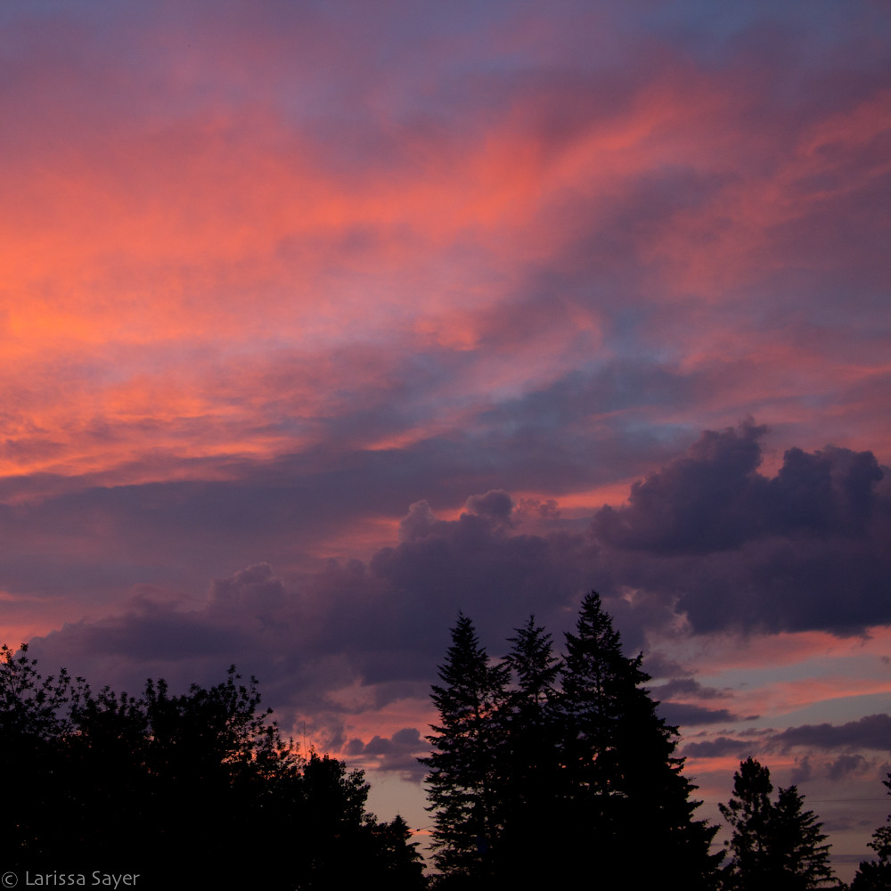
Sunset over Canal Flats
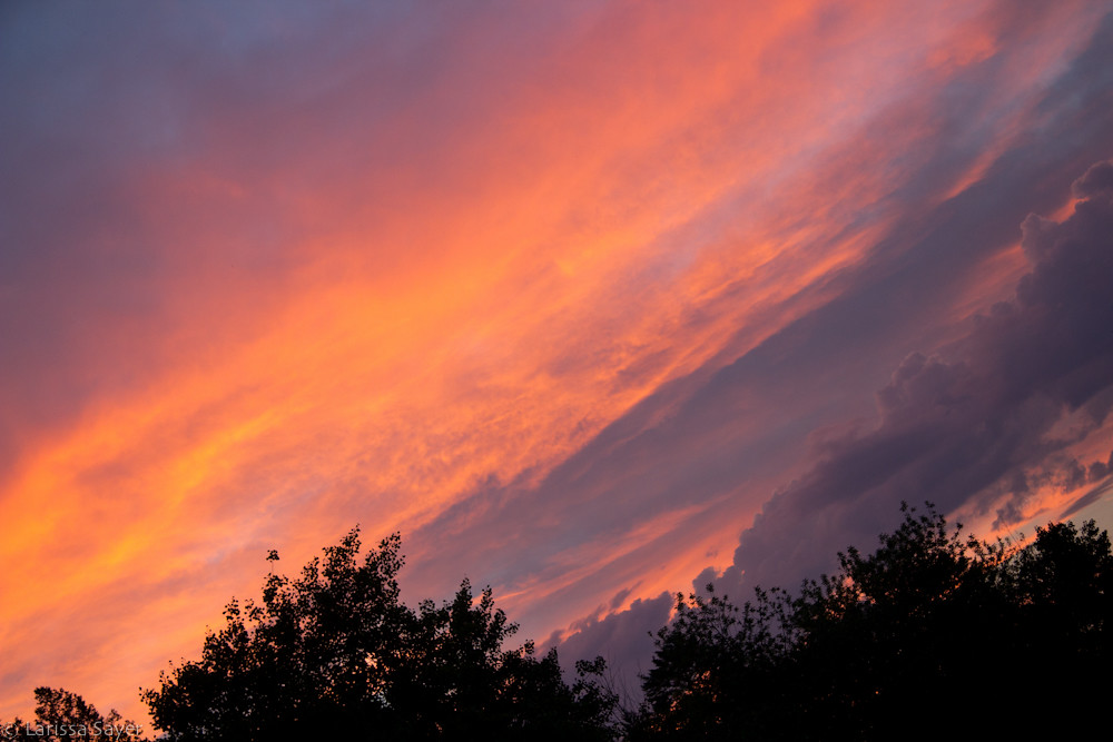
Angled Sunset over Canal Flats

Sunset over Canal Flats
IMG_1950 (2)
The Mountain View
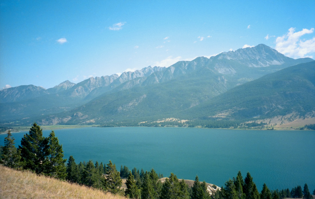
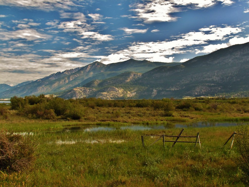
Columbia Lake
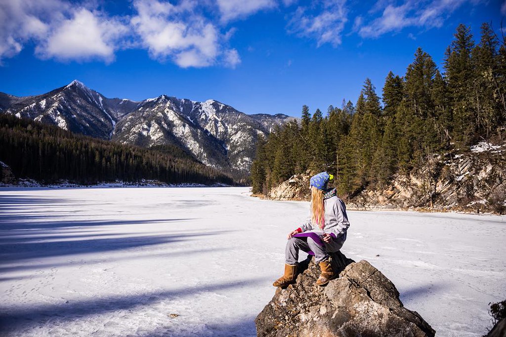
Waking up every morning to this kinda view is breathtaking, it'll never get old! ???? Just chilling in the middle of a lake in our #Thuggies @mirandaballl @hilary.pristol @thethuggie
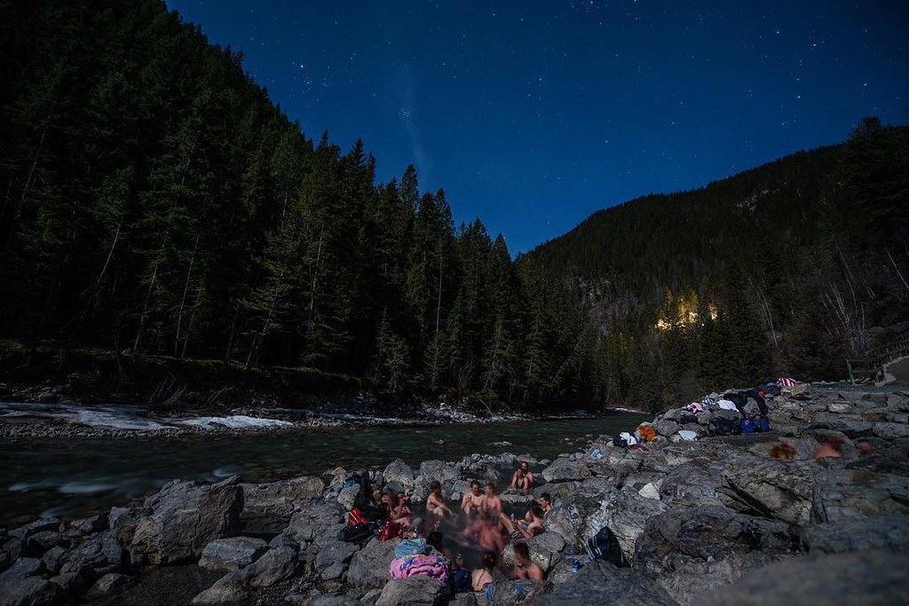
Awesome night in the natural hot springs at Whiteswan! #hellobc #beTrendly
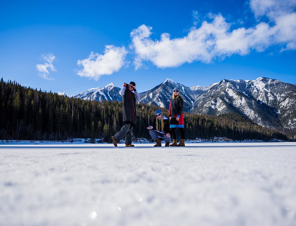
Last week was so awesome! Got to see so many different places & camping in February is definitely a sick experience! @mirandaballl thuggin' in her Thuggie! @thethuggie
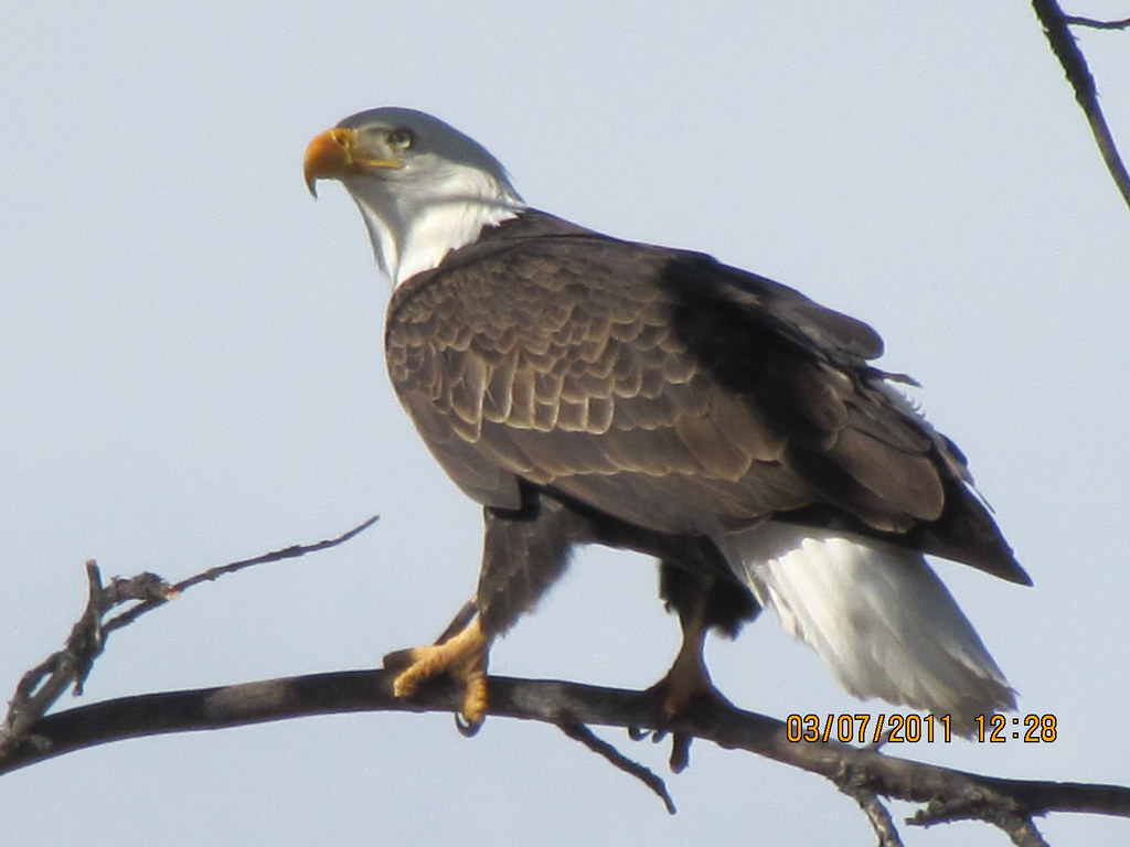
Bald Eagle2
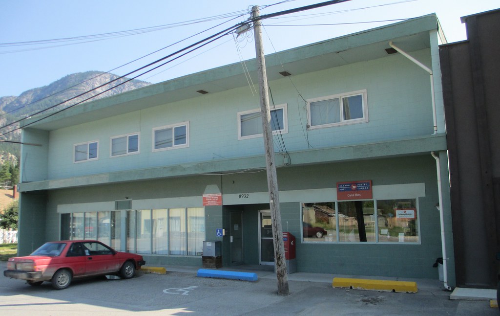
Post Office V0B 1B0 (Canal Flats, British Columbia)

Findlay Creek Falls
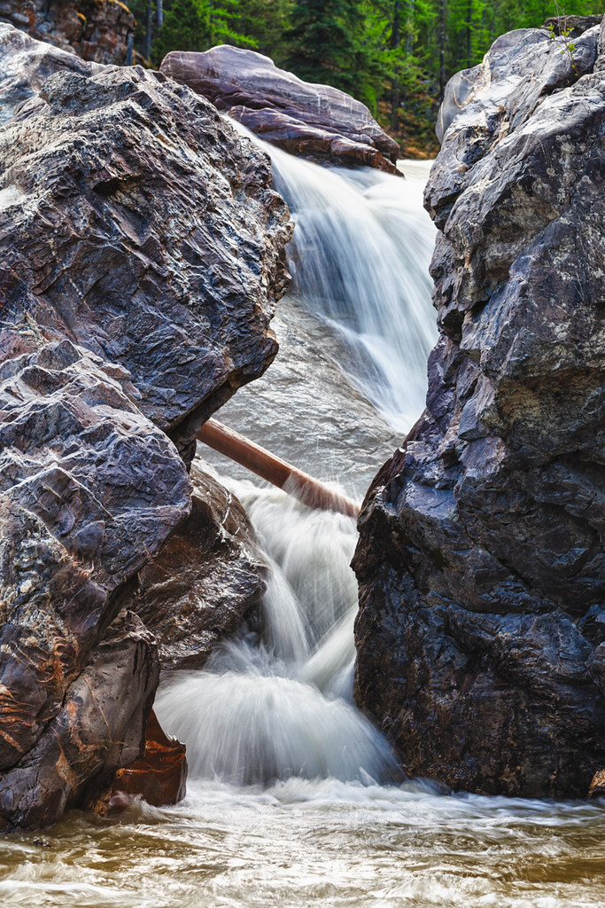
Findlay Creek Falls
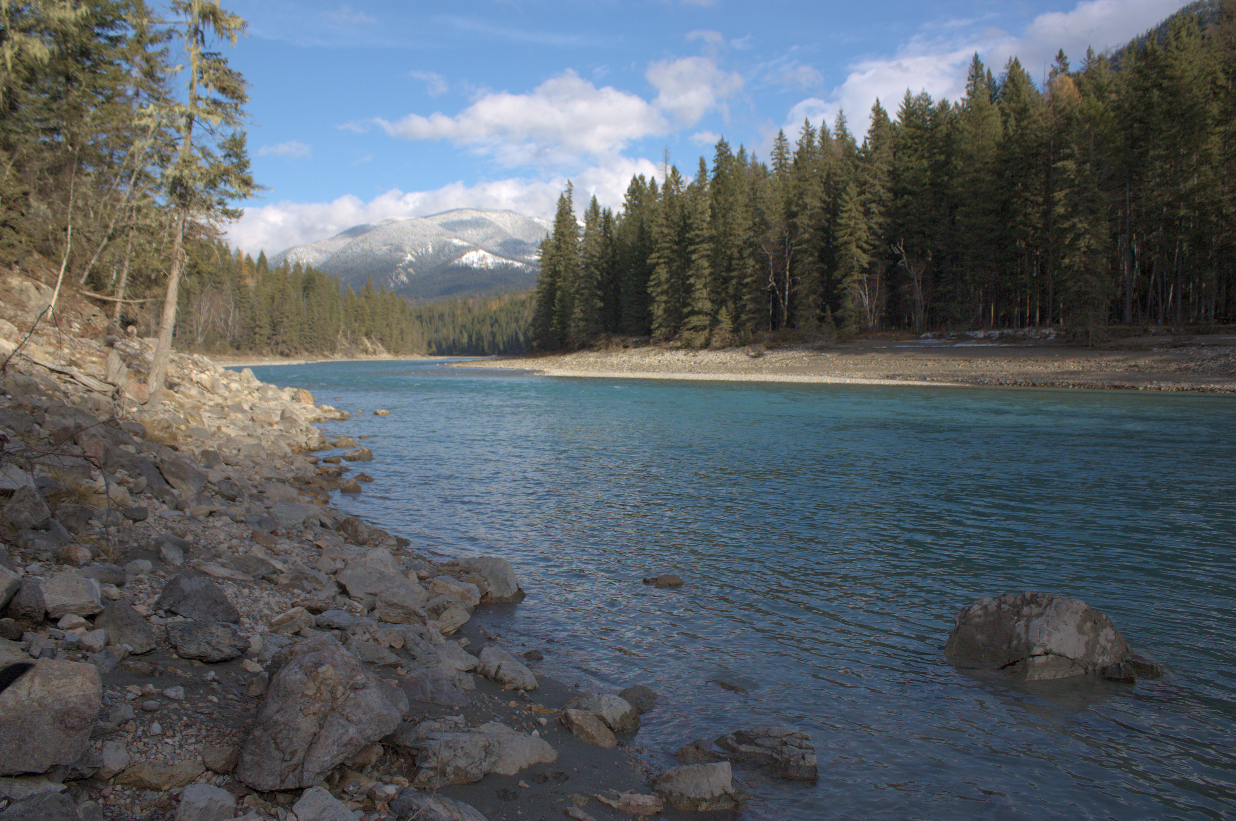
Whiteswan River
Kootenay River, Fall 2013

Lussier River Hot Springs 5

Lussier Hot Springs 4
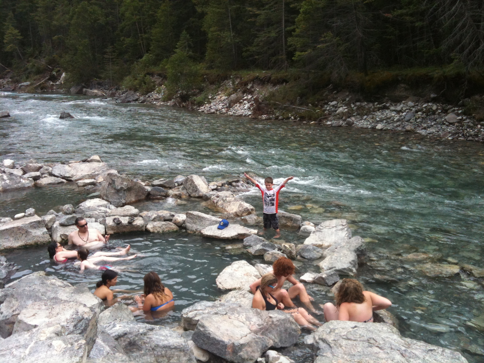
Lussier Hot Springs 3
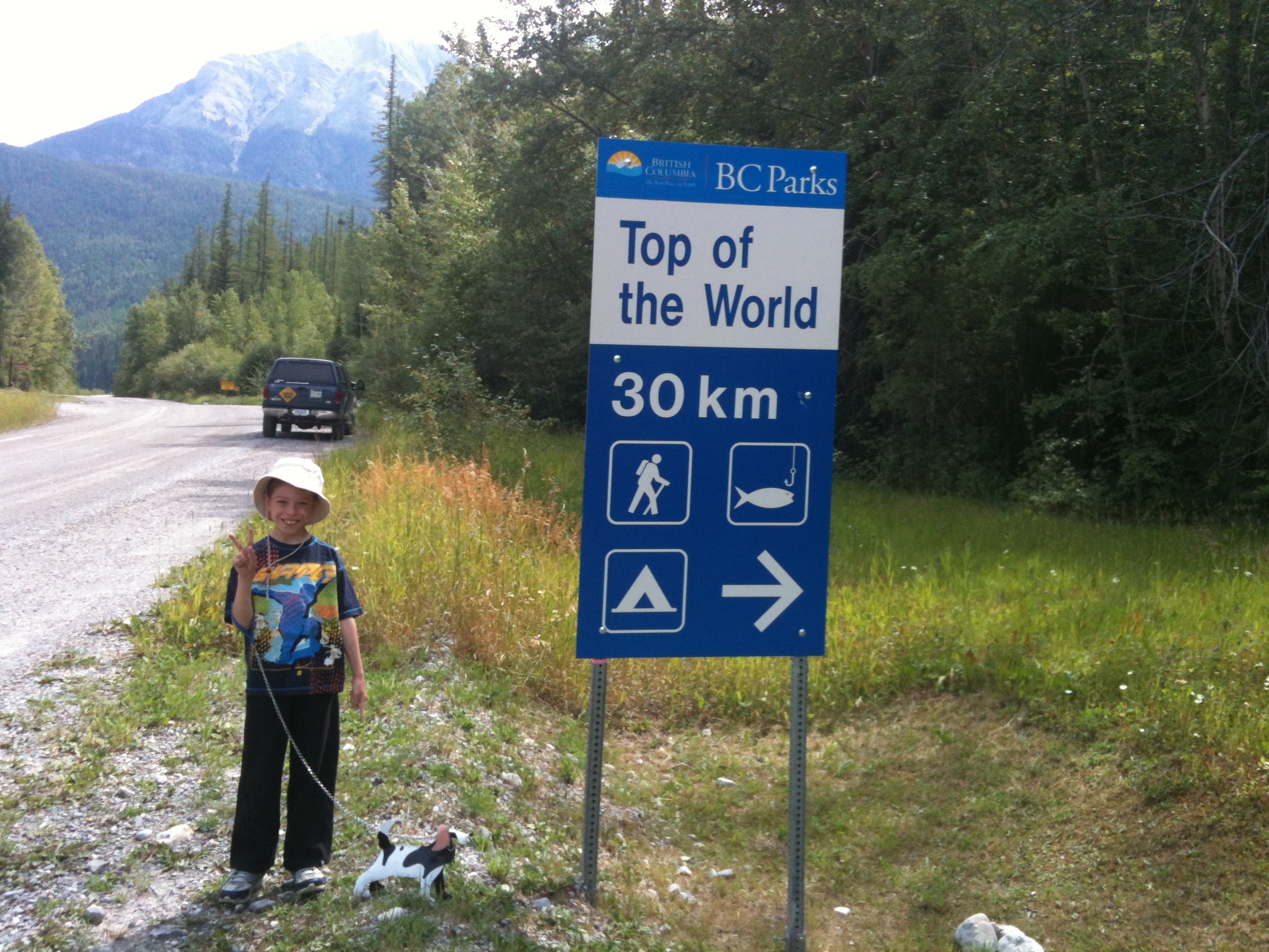
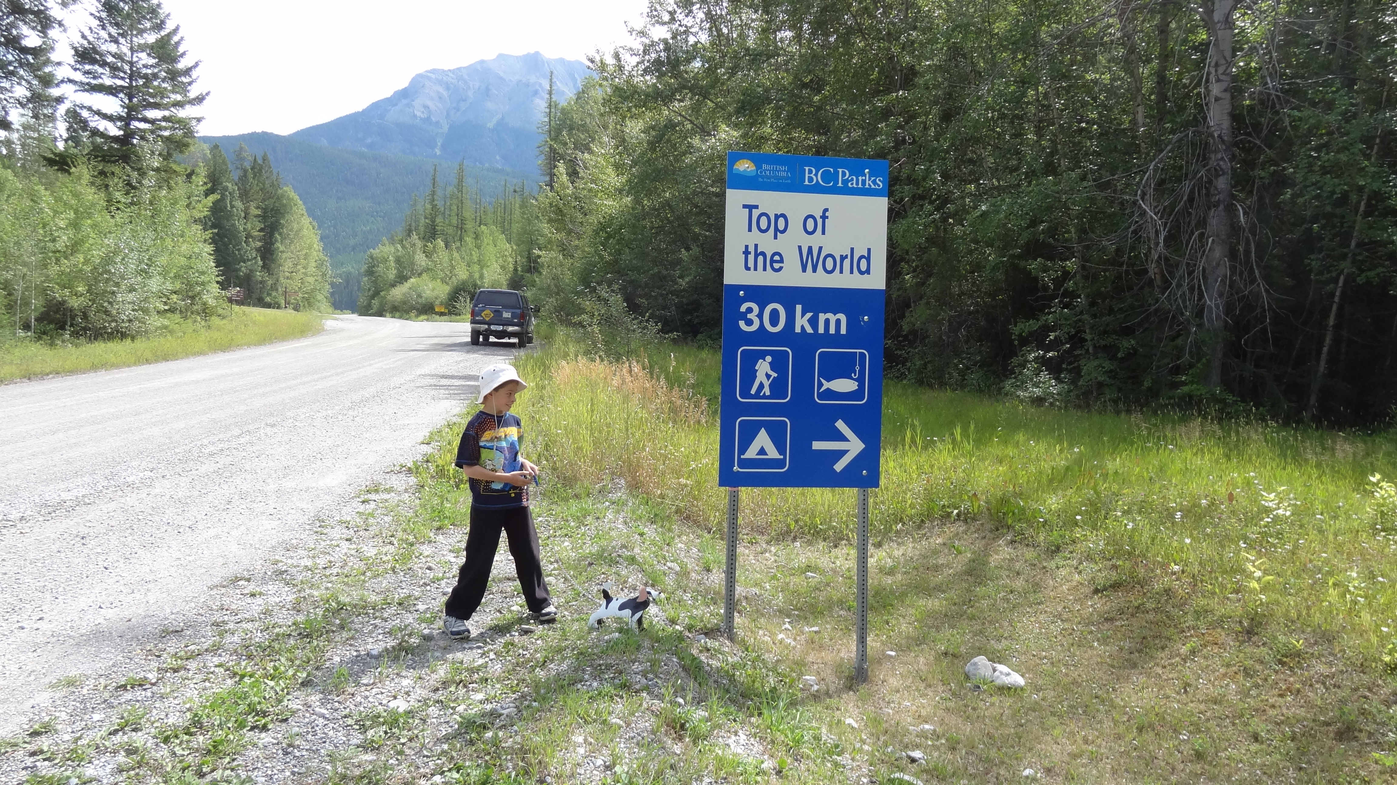
Top of the World provincial park sign
01 Calvin Visit 2013 Lussier
02Calvin Visit 2013 Lussier

03 Calvin Visit 2013 Lussier
Lussier Peak, East Kootenay F, BC V0B, Kanada Karte
Suchen Sie einen anderen Ort
Nahe Plätze
Regional District of East Kootenay, Britisch-Kolumbien, Kanada
Mount Grainger, East Kootenay F, BC V0B, Kanada
Canal Flats, BC V0B, Kanada
Shark Tooth SW1, East Kootenay E, BC V0B, Kanada
Shark Tooth NW2, East Kootenay E, BC V0B, Kanada
Mount De Smet, East Kootenay F, BC V0B, Kanada
Mount Glen, East Kootenay F, BC V0B, Kanada
Shark Tooth SE1, East Kootenay E, BC V0B, Kanada
Shark Tooth S4, East Kootenay E, BC V0B, Kanada
Mclean Peak, East Kootenay E, BC V0B, Kanada
Diorite NW4, East Kootenay E, BC V0B, Kanada
Columbia Lake, East Kootenay F, Britisch-Kolumbien V0B, Kanada
Diorite N4, East Kootenay E, BC V0B, Kanada
Skookumchuck, BC V0B 2E0, Kanada
Diorite NW3, East Kootenay E, BC V0B, Kanada
Diorite N5, East Kootenay E, BC V0B, Kanada
Travois NW4, East Kootenay E, BC V0B, Kanada
Edwards Peak, East Kootenay F, BC V0B, Kanada
Blue Knight Peak, East Kootenay F, BC V0B, Kanada
White Knight Peak, East Kootenay F, BC V0B, Kanada
Letzte Suche
- Red Dog Mine, AK, USA Sonnenaufgang Sonnenuntergang Zeiten
- Am Bahnhof, Am bhf, Borken, Germany Sonnenaufgang Sonnenuntergang Zeiten
- 4th St E, Sonoma, CA, USA Sonnenaufgang Sonnenuntergang Zeiten
- Oakland Ave, Williamsport, PA, USA Sonnenaufgang Sonnenuntergang Zeiten
- Via Roma, Pieranica CR, Italien Sonnenaufgang Sonnenuntergang Zeiten
- Glockenturm, Grad, Dubrovnik, Kroatien Sonnenaufgang Sonnenuntergang Zeiten
- Trelew, Chubut Province, Argentina Sonnenaufgang Sonnenuntergang Zeiten
- Hartfords Bluff Cir, Mt Pleasant, SC, USA Sonnenaufgang Sonnenuntergang Zeiten
- Kita-ku, Kumamoto, Präfektur Kumamoto, Japan Sonnenaufgang Sonnenuntergang Zeiten
- Pingtan Island, Pingtan County, Fuzhou, China Sonnenaufgang Sonnenuntergang Zeiten