Lenore B Ln, Mountain Rest, SC, USA Sonnenaufgang Sonnenuntergang Zeiten
Location: USA > South Carolina > Oconee County > Mountain Rest >
Zeitzone:
America/New_York
Ortszeit:
2025-06-27 06:38:17
Länge:
-83.1028986
Breite:
34.877903
Sonnenaufgang Heute:
06:21:07 AM
Sonnenuntergang Heute:
08:50:10 PM
Tageslänge heute:
14h 29m 3s
Sonnenaufgang morgen:
06:21:30 AM
Sonnenuntergang Morgen:
08:50:11 PM
Tageslänge von morgen:
14h 28m 41s
Alle Termine anzeigen
| Datum | Sonnenaufgang | Sonnenuntergang | Tageslänge |
|---|---|---|---|
| 2025-01-01 | 07:40:12 AM | 05:32:51 PM | 9h 52m 39s |
| 2025-01-02 | 07:40:20 AM | 05:33:39 PM | 9h 53m 19s |
| 2025-01-03 | 07:40:26 AM | 05:34:27 PM | 9h 54m 1s |
| 2025-01-04 | 07:40:30 AM | 05:35:17 PM | 9h 54m 47s |
| 2025-01-05 | 07:40:32 AM | 05:36:07 PM | 9h 55m 35s |
| 2025-01-06 | 07:40:32 AM | 05:36:59 PM | 9h 56m 27s |
| 2025-01-07 | 07:40:31 AM | 05:37:51 PM | 9h 57m 20s |
| 2025-01-08 | 07:40:27 AM | 05:38:44 PM | 9h 58m 17s |
| 2025-01-09 | 07:40:22 AM | 05:39:38 PM | 9h 59m 16s |
| 2025-01-10 | 07:40:15 AM | 05:40:33 PM | 10h 0m 18s |
| 2025-01-11 | 07:40:05 AM | 05:41:29 PM | 10h 1m 24s |
| 2025-01-12 | 07:39:54 AM | 05:42:25 PM | 10h 2m 31s |
| 2025-01-13 | 07:39:41 AM | 05:43:22 PM | 10h 3m 41s |
| 2025-01-14 | 07:39:26 AM | 05:44:19 PM | 10h 4m 53s |
| 2025-01-15 | 07:39:10 AM | 05:45:17 PM | 10h 6m 7s |
| 2025-01-16 | 07:38:51 AM | 05:46:15 PM | 10h 7m 24s |
| 2025-01-17 | 07:38:30 AM | 05:47:14 PM | 10h 8m 44s |
| 2025-01-18 | 07:38:08 AM | 05:48:13 PM | 10h 10m 5s |
| 2025-01-19 | 07:37:44 AM | 05:49:13 PM | 10h 11m 29s |
| 2025-01-20 | 07:37:18 AM | 05:50:12 PM | 10h 12m 54s |
| 2025-01-21 | 07:36:50 AM | 05:51:12 PM | 10h 14m 22s |
| 2025-01-22 | 07:36:20 AM | 05:52:13 PM | 10h 15m 53s |
| 2025-01-23 | 07:35:49 AM | 05:53:13 PM | 10h 17m 24s |
| 2025-01-24 | 07:35:16 AM | 05:54:14 PM | 10h 18m 58s |
| 2025-01-25 | 07:34:41 AM | 05:55:15 PM | 10h 20m 34s |
| 2025-01-26 | 07:34:05 AM | 05:56:16 PM | 10h 22m 11s |
| 2025-01-27 | 07:33:27 AM | 05:57:16 PM | 10h 23m 49s |
| 2025-01-28 | 07:32:47 AM | 05:58:17 PM | 10h 25m 30s |
| 2025-01-29 | 07:32:05 AM | 05:59:18 PM | 10h 27m 13s |
| 2025-01-30 | 07:31:23 AM | 06:00:19 PM | 10h 28m 56s |
| 2025-01-31 | 07:30:38 AM | 06:01:20 PM | 10h 30m 42s |
| 2025-02-01 | 07:29:52 AM | 06:02:21 PM | 10h 32m 29s |
| 2025-02-02 | 07:29:04 AM | 06:03:21 PM | 10h 34m 17s |
| 2025-02-03 | 07:28:15 AM | 06:04:22 PM | 10h 36m 7s |
| 2025-02-04 | 07:27:25 AM | 06:05:22 PM | 10h 37m 57s |
| 2025-02-05 | 07:26:33 AM | 06:06:22 PM | 10h 39m 49s |
| 2025-02-06 | 07:25:39 AM | 06:07:22 PM | 10h 41m 43s |
| 2025-02-07 | 07:24:45 AM | 06:08:22 PM | 10h 43m 37s |
| 2025-02-08 | 07:23:49 AM | 06:09:21 PM | 10h 45m 32s |
| 2025-02-09 | 07:22:51 AM | 06:10:20 PM | 10h 47m 29s |
| 2025-02-10 | 07:21:53 AM | 06:11:19 PM | 10h 49m 26s |
| 2025-02-11 | 07:20:53 AM | 06:12:18 PM | 10h 51m 25s |
| 2025-02-12 | 07:19:52 AM | 06:13:16 PM | 10h 53m 24s |
| 2025-02-13 | 07:18:49 AM | 06:14:14 PM | 10h 55m 25s |
| 2025-02-14 | 07:17:46 AM | 06:15:12 PM | 10h 57m 26s |
| 2025-02-15 | 07:16:41 AM | 06:16:10 PM | 10h 59m 29s |
| 2025-02-16 | 07:15:36 AM | 06:17:07 PM | 11h 1m 31s |
| 2025-02-17 | 07:14:29 AM | 06:18:03 PM | 11h 3m 34s |
| 2025-02-18 | 07:13:21 AM | 06:19:00 PM | 11h 5m 39s |
| 2025-02-19 | 07:12:13 AM | 06:19:56 PM | 11h 7m 43s |
| 2025-02-20 | 07:11:03 AM | 06:20:52 PM | 11h 9m 49s |
| 2025-02-21 | 07:09:53 AM | 06:21:47 PM | 11h 11m 54s |
| 2025-02-22 | 07:08:41 AM | 06:22:42 PM | 11h 14m 1s |
| 2025-02-23 | 07:07:29 AM | 06:23:37 PM | 11h 16m 8s |
| 2025-02-24 | 07:06:16 AM | 06:24:31 PM | 11h 18m 15s |
| 2025-02-25 | 07:05:02 AM | 06:25:26 PM | 11h 20m 24s |
| 2025-02-26 | 07:03:47 AM | 06:26:19 PM | 11h 22m 32s |
| 2025-02-27 | 07:02:31 AM | 06:27:13 PM | 11h 24m 42s |
| 2025-02-28 | 07:01:15 AM | 06:28:06 PM | 11h 26m 51s |
| 2025-03-01 | 06:59:58 AM | 06:28:59 PM | 11h 29m 1s |
| 2025-03-02 | 06:58:41 AM | 06:29:51 PM | 11h 31m 10s |
| 2025-03-03 | 06:57:23 AM | 06:30:43 PM | 11h 33m 20s |
| 2025-03-04 | 06:56:04 AM | 06:31:35 PM | 11h 35m 31s |
| 2025-03-05 | 06:54:45 AM | 06:32:26 PM | 11h 37m 41s |
| 2025-03-06 | 06:53:25 AM | 06:33:18 PM | 11h 39m 53s |
| 2025-03-07 | 06:52:05 AM | 06:34:09 PM | 11h 42m 4s |
| 2025-03-08 | 06:50:44 AM | 06:34:59 PM | 11h 44m 15s |
| 2025-03-09 | 07:49:26 AM | 07:35:48 PM | 11h 46m 22s |
| 2025-03-10 | 07:48:05 AM | 07:36:38 PM | 11h 48m 33s |
| 2025-03-11 | 07:46:43 AM | 07:37:28 PM | 11h 50m 45s |
| 2025-03-12 | 07:45:21 AM | 07:38:18 PM | 11h 52m 57s |
| 2025-03-13 | 07:43:58 AM | 07:39:07 PM | 11h 55m 9s |
| 2025-03-14 | 07:42:35 AM | 07:39:57 PM | 11h 57m 22s |
| 2025-03-15 | 07:41:12 AM | 07:40:46 PM | 11h 59m 34s |
| 2025-03-16 | 07:39:49 AM | 07:41:35 PM | 12h 1m 46s |
| 2025-03-17 | 07:38:25 AM | 07:42:23 PM | 12h 3m 58s |
| 2025-03-18 | 07:37:02 AM | 07:43:12 PM | 12h 6m 10s |
| 2025-03-19 | 07:35:38 AM | 07:44:00 PM | 12h 8m 22s |
| 2025-03-20 | 07:34:14 AM | 07:44:49 PM | 12h 10m 35s |
| 2025-03-21 | 07:32:50 AM | 07:45:37 PM | 12h 12m 47s |
| 2025-03-22 | 07:31:26 AM | 07:46:25 PM | 12h 14m 59s |
| 2025-03-23 | 07:30:02 AM | 07:47:13 PM | 12h 17m 11s |
| 2025-03-24 | 07:28:38 AM | 07:48:01 PM | 12h 19m 23s |
| 2025-03-25 | 07:27:14 AM | 07:48:48 PM | 12h 21m 34s |
| 2025-03-26 | 07:25:50 AM | 07:49:36 PM | 12h 23m 46s |
| 2025-03-27 | 07:24:26 AM | 07:50:24 PM | 12h 25m 58s |
| 2025-03-28 | 07:23:03 AM | 07:51:11 PM | 12h 28m 8s |
| 2025-03-29 | 07:21:39 AM | 07:51:59 PM | 12h 30m 20s |
| 2025-03-30 | 07:20:16 AM | 07:52:46 PM | 12h 32m 30s |
| 2025-03-31 | 07:18:53 AM | 07:53:34 PM | 12h 34m 41s |
| 2025-04-01 | 07:17:30 AM | 07:54:21 PM | 12h 36m 51s |
| 2025-04-02 | 07:16:07 AM | 07:55:08 PM | 12h 39m 1s |
| 2025-04-03 | 07:14:45 AM | 07:55:56 PM | 12h 41m 11s |
| 2025-04-04 | 07:13:23 AM | 07:56:43 PM | 12h 43m 20s |
| 2025-04-05 | 07:12:02 AM | 07:57:31 PM | 12h 45m 29s |
| 2025-04-06 | 07:10:40 AM | 07:58:18 PM | 12h 47m 38s |
| 2025-04-07 | 07:09:20 AM | 07:59:06 PM | 12h 49m 46s |
| 2025-04-08 | 07:07:59 AM | 07:59:53 PM | 12h 51m 54s |
| 2025-04-09 | 07:06:40 AM | 08:00:41 PM | 12h 54m 1s |
| 2025-04-10 | 07:05:20 AM | 08:01:29 PM | 12h 56m 9s |
| 2025-04-11 | 07:04:02 AM | 08:02:16 PM | 12h 58m 14s |
| 2025-04-12 | 07:02:43 AM | 08:03:04 PM | 13h 0m 21s |
| 2025-04-13 | 07:01:26 AM | 08:03:52 PM | 13h 2m 26s |
| 2025-04-14 | 07:00:09 AM | 08:04:40 PM | 13h 4m 31s |
| 2025-04-15 | 06:58:52 AM | 08:05:28 PM | 13h 6m 36s |
| 2025-04-16 | 06:57:37 AM | 08:06:16 PM | 13h 8m 39s |
| 2025-04-17 | 06:56:22 AM | 08:07:04 PM | 13h 10m 42s |
| 2025-04-18 | 06:55:08 AM | 08:07:52 PM | 13h 12m 44s |
| 2025-04-19 | 06:53:54 AM | 08:08:40 PM | 13h 14m 46s |
| 2025-04-20 | 06:52:42 AM | 08:09:29 PM | 13h 16m 47s |
| 2025-04-21 | 06:51:30 AM | 08:10:17 PM | 13h 18m 47s |
| 2025-04-22 | 06:50:19 AM | 08:11:05 PM | 13h 20m 46s |
| 2025-04-23 | 06:49:09 AM | 08:11:54 PM | 13h 22m 45s |
| 2025-04-24 | 06:48:00 AM | 08:12:42 PM | 13h 24m 42s |
| 2025-04-25 | 06:46:51 AM | 08:13:31 PM | 13h 26m 40s |
| 2025-04-26 | 06:45:44 AM | 08:14:19 PM | 13h 28m 35s |
| 2025-04-27 | 06:44:38 AM | 08:15:08 PM | 13h 30m 30s |
| 2025-04-28 | 06:43:33 AM | 08:15:57 PM | 13h 32m 24s |
| 2025-04-29 | 06:42:28 AM | 08:16:45 PM | 13h 34m 17s |
| 2025-04-30 | 06:41:25 AM | 08:17:34 PM | 13h 36m 9s |
| 2025-05-01 | 06:40:23 AM | 08:18:22 PM | 13h 37m 59s |
| 2025-05-02 | 06:39:22 AM | 08:19:11 PM | 13h 39m 49s |
| 2025-05-03 | 06:38:23 AM | 08:19:59 PM | 13h 41m 36s |
| 2025-05-04 | 06:37:24 AM | 08:20:48 PM | 13h 43m 24s |
| 2025-05-05 | 06:36:27 AM | 08:21:36 PM | 13h 45m 9s |
| 2025-05-06 | 06:35:30 AM | 08:22:24 PM | 13h 46m 54s |
| 2025-05-07 | 06:34:36 AM | 08:23:12 PM | 13h 48m 36s |
| 2025-05-08 | 06:33:42 AM | 08:24:00 PM | 13h 50m 18s |
| 2025-05-09 | 06:32:50 AM | 08:24:48 PM | 13h 51m 58s |
| 2025-05-10 | 06:31:59 AM | 08:25:36 PM | 13h 53m 37s |
| 2025-05-11 | 06:31:09 AM | 08:26:23 PM | 13h 55m 14s |
| 2025-05-12 | 06:30:21 AM | 08:27:10 PM | 13h 56m 49s |
| 2025-05-13 | 06:29:34 AM | 08:27:57 PM | 13h 58m 23s |
| 2025-05-14 | 06:28:49 AM | 08:28:44 PM | 13h 59m 55s |
| 2025-05-15 | 06:28:05 AM | 08:29:30 PM | 14h 1m 25s |
| 2025-05-16 | 06:27:22 AM | 08:30:16 PM | 14h 2m 54s |
| 2025-05-17 | 06:26:41 AM | 08:31:02 PM | 14h 4m 21s |
| 2025-05-18 | 06:26:01 AM | 08:31:47 PM | 14h 5m 46s |
| 2025-05-19 | 06:25:23 AM | 08:32:32 PM | 14h 7m 9s |
| 2025-05-20 | 06:24:47 AM | 08:33:16 PM | 14h 8m 29s |
| 2025-05-21 | 06:24:12 AM | 08:34:00 PM | 14h 9m 48s |
| 2025-05-22 | 06:23:38 AM | 08:34:44 PM | 14h 11m 6s |
| 2025-05-23 | 06:23:06 AM | 08:35:27 PM | 14h 12m 21s |
| 2025-05-24 | 06:22:36 AM | 08:36:09 PM | 14h 13m 33s |
| 2025-05-25 | 06:22:08 AM | 08:36:50 PM | 14h 14m 42s |
| 2025-05-26 | 06:21:40 AM | 08:37:31 PM | 14h 15m 51s |
| 2025-05-27 | 06:21:15 AM | 08:38:12 PM | 14h 16m 57s |
| 2025-05-28 | 06:20:51 AM | 08:38:51 PM | 14h 18m 0s |
| 2025-05-29 | 06:20:29 AM | 08:39:30 PM | 14h 19m 1s |
| 2025-05-30 | 06:20:08 AM | 08:40:08 PM | 14h 20m 0s |
| 2025-05-31 | 06:19:49 AM | 08:40:45 PM | 14h 20m 56s |
| 2025-06-01 | 06:19:32 AM | 08:41:22 PM | 14h 21m 50s |
| 2025-06-02 | 06:19:17 AM | 08:41:57 PM | 14h 22m 40s |
| 2025-06-03 | 06:19:03 AM | 08:42:31 PM | 14h 23m 28s |
| 2025-06-04 | 06:18:50 AM | 08:43:05 PM | 14h 24m 15s |
| 2025-06-05 | 06:18:40 AM | 08:43:37 PM | 14h 24m 57s |
| 2025-06-06 | 06:18:31 AM | 08:44:09 PM | 14h 25m 38s |
| 2025-06-07 | 06:18:23 AM | 08:44:39 PM | 14h 26m 16s |
| 2025-06-08 | 06:18:17 AM | 08:45:08 PM | 14h 26m 51s |
| 2025-06-09 | 06:18:13 AM | 08:45:36 PM | 14h 27m 23s |
| 2025-06-10 | 06:18:11 AM | 08:46:03 PM | 14h 27m 52s |
| 2025-06-11 | 06:18:10 AM | 08:46:29 PM | 14h 28m 19s |
| 2025-06-12 | 06:18:10 AM | 08:46:53 PM | 14h 28m 43s |
| 2025-06-13 | 06:18:13 AM | 08:47:17 PM | 14h 29m 4s |
| 2025-06-14 | 06:18:16 AM | 08:47:38 PM | 14h 29m 22s |
| 2025-06-15 | 06:18:22 AM | 08:47:59 PM | 14h 29m 37s |
| 2025-06-16 | 06:18:29 AM | 08:48:18 PM | 14h 29m 49s |
| 2025-06-17 | 06:18:37 AM | 08:48:36 PM | 14h 29m 59s |
| 2025-06-18 | 06:18:47 AM | 08:48:52 PM | 14h 30m 5s |
| 2025-06-19 | 06:18:58 AM | 08:49:07 PM | 14h 30m 9s |
| 2025-06-20 | 06:19:11 AM | 08:49:20 PM | 14h 30m 9s |
| 2025-06-21 | 06:19:25 AM | 08:49:32 PM | 14h 30m 7s |
| 2025-06-22 | 06:19:41 AM | 08:49:42 PM | 14h 30m 1s |
| 2025-06-23 | 06:19:58 AM | 08:49:51 PM | 14h 29m 53s |
| 2025-06-24 | 06:20:16 AM | 08:49:58 PM | 14h 29m 42s |
| 2025-06-25 | 06:20:36 AM | 08:50:04 PM | 14h 29m 28s |
| 2025-06-26 | 06:20:57 AM | 08:50:08 PM | 14h 29m 11s |
| 2025-06-27 | 06:21:19 AM | 08:50:11 PM | 14h 28m 52s |
| 2025-06-28 | 06:21:42 AM | 08:50:11 PM | 14h 28m 29s |
| 2025-06-29 | 06:22:07 AM | 08:50:11 PM | 14h 28m 4s |
| 2025-06-30 | 06:22:32 AM | 08:50:08 PM | 14h 27m 36s |
| 2025-07-01 | 06:22:59 AM | 08:50:04 PM | 14h 27m 5s |
| 2025-07-02 | 06:23:27 AM | 08:49:58 PM | 14h 26m 31s |
| 2025-07-03 | 06:23:56 AM | 08:49:51 PM | 14h 25m 55s |
| 2025-07-04 | 06:24:26 AM | 08:49:42 PM | 14h 25m 16s |
| 2025-07-05 | 06:24:57 AM | 08:49:31 PM | 14h 24m 34s |
| 2025-07-06 | 06:25:29 AM | 08:49:18 PM | 14h 23m 49s |
| 2025-07-07 | 06:26:02 AM | 08:49:04 PM | 14h 23m 2s |
| 2025-07-08 | 06:26:36 AM | 08:48:48 PM | 14h 22m 12s |
| 2025-07-09 | 06:27:10 AM | 08:48:31 PM | 14h 21m 21s |
| 2025-07-10 | 06:27:46 AM | 08:48:11 PM | 14h 20m 25s |
| 2025-07-11 | 06:28:22 AM | 08:47:50 PM | 14h 19m 28s |
| 2025-07-12 | 06:28:59 AM | 08:47:28 PM | 14h 18m 29s |
| 2025-07-13 | 06:29:36 AM | 08:47:03 PM | 14h 17m 27s |
| 2025-07-14 | 06:30:15 AM | 08:46:37 PM | 14h 16m 22s |
| 2025-07-15 | 06:30:54 AM | 08:46:10 PM | 14h 15m 16s |
| 2025-07-16 | 06:31:33 AM | 08:45:41 PM | 14h 14m 8s |
| 2025-07-17 | 06:32:13 AM | 08:45:10 PM | 14h 12m 57s |
| 2025-07-18 | 06:32:54 AM | 08:44:37 PM | 14h 11m 43s |
| 2025-07-19 | 06:33:35 AM | 08:44:03 PM | 14h 10m 28s |
| 2025-07-20 | 06:34:16 AM | 08:43:27 PM | 14h 9m 11s |
| 2025-07-21 | 06:34:58 AM | 08:42:50 PM | 14h 7m 52s |
| 2025-07-22 | 06:35:41 AM | 08:42:11 PM | 14h 6m 30s |
| 2025-07-23 | 06:36:24 AM | 08:41:31 PM | 14h 5m 7s |
| 2025-07-24 | 06:37:07 AM | 08:40:49 PM | 14h 3m 42s |
| 2025-07-25 | 06:37:50 AM | 08:40:06 PM | 14h 2m 16s |
| 2025-07-26 | 06:38:34 AM | 08:39:21 PM | 14h 0m 47s |
| 2025-07-27 | 06:39:18 AM | 08:38:35 PM | 13h 59m 17s |
| 2025-07-28 | 06:40:02 AM | 08:37:47 PM | 13h 57m 45s |
| 2025-07-29 | 06:40:46 AM | 08:36:58 PM | 13h 56m 12s |
| 2025-07-30 | 06:41:31 AM | 08:36:07 PM | 13h 54m 36s |
| 2025-07-31 | 06:42:16 AM | 08:35:15 PM | 13h 52m 59s |
| 2025-08-01 | 06:43:01 AM | 08:34:22 PM | 13h 51m 21s |
| 2025-08-02 | 06:43:45 AM | 08:33:27 PM | 13h 49m 42s |
| 2025-08-03 | 06:44:31 AM | 08:32:31 PM | 13h 48m 0s |
| 2025-08-04 | 06:45:16 AM | 08:31:34 PM | 13h 46m 18s |
| 2025-08-05 | 06:46:01 AM | 08:30:35 PM | 13h 44m 34s |
| 2025-08-06 | 06:46:46 AM | 08:29:36 PM | 13h 42m 50s |
| 2025-08-07 | 06:47:31 AM | 08:28:35 PM | 13h 41m 4s |
| 2025-08-08 | 06:48:17 AM | 08:27:33 PM | 13h 39m 16s |
| 2025-08-09 | 06:49:02 AM | 08:26:29 PM | 13h 37m 27s |
| 2025-08-10 | 06:49:47 AM | 08:25:25 PM | 13h 35m 38s |
| 2025-08-11 | 06:50:33 AM | 08:24:20 PM | 13h 33m 47s |
| 2025-08-12 | 06:51:18 AM | 08:23:13 PM | 13h 31m 55s |
| 2025-08-13 | 06:52:03 AM | 08:22:05 PM | 13h 30m 2s |
| 2025-08-14 | 06:52:48 AM | 08:20:57 PM | 13h 28m 9s |
| 2025-08-15 | 06:53:33 AM | 08:19:47 PM | 13h 26m 14s |
| 2025-08-16 | 06:54:18 AM | 08:18:37 PM | 13h 24m 19s |
| 2025-08-17 | 06:55:03 AM | 08:17:25 PM | 13h 22m 22s |
| 2025-08-18 | 06:55:48 AM | 08:16:13 PM | 13h 20m 25s |
| 2025-08-19 | 06:56:32 AM | 08:15:00 PM | 13h 18m 28s |
| 2025-08-20 | 06:57:17 AM | 08:13:46 PM | 13h 16m 29s |
| 2025-08-21 | 06:58:01 AM | 08:12:31 PM | 13h 14m 30s |
| 2025-08-22 | 06:58:46 AM | 08:11:15 PM | 13h 12m 29s |
| 2025-08-23 | 06:59:30 AM | 08:09:58 PM | 13h 10m 28s |
| 2025-08-24 | 07:00:14 AM | 08:08:41 PM | 13h 8m 27s |
| 2025-08-25 | 07:00:58 AM | 08:07:23 PM | 13h 6m 25s |
| 2025-08-26 | 07:01:42 AM | 08:06:05 PM | 13h 4m 23s |
| 2025-08-27 | 07:02:26 AM | 08:04:45 PM | 13h 2m 19s |
| 2025-08-28 | 07:03:10 AM | 08:03:26 PM | 13h 0m 16s |
| 2025-08-29 | 07:03:54 AM | 08:02:05 PM | 12h 58m 11s |
| 2025-08-30 | 07:04:37 AM | 08:00:44 PM | 12h 56m 7s |
| 2025-08-31 | 07:05:21 AM | 07:59:22 PM | 12h 54m 1s |
| 2025-09-01 | 07:06:05 AM | 07:58:00 PM | 12h 51m 55s |
| 2025-09-02 | 07:06:48 AM | 07:56:38 PM | 12h 49m 50s |
| 2025-09-03 | 07:07:31 AM | 07:55:15 PM | 12h 47m 44s |
| 2025-09-04 | 07:08:15 AM | 07:53:51 PM | 12h 45m 36s |
| 2025-09-05 | 07:08:58 AM | 07:52:28 PM | 12h 43m 30s |
| 2025-09-06 | 07:09:41 AM | 07:51:03 PM | 12h 41m 22s |
| 2025-09-07 | 07:10:24 AM | 07:49:39 PM | 12h 39m 15s |
| 2025-09-08 | 07:11:08 AM | 07:48:14 PM | 12h 37m 6s |
| 2025-09-09 | 07:11:51 AM | 07:46:49 PM | 12h 34m 58s |
| 2025-09-10 | 07:12:34 AM | 07:45:24 PM | 12h 32m 50s |
| 2025-09-11 | 07:13:17 AM | 07:43:58 PM | 12h 30m 41s |
| 2025-09-12 | 07:14:00 AM | 07:42:32 PM | 12h 28m 32s |
| 2025-09-13 | 07:14:43 AM | 07:41:06 PM | 12h 26m 23s |
| 2025-09-14 | 07:15:27 AM | 07:39:40 PM | 12h 24m 13s |
| 2025-09-15 | 07:16:10 AM | 07:38:14 PM | 12h 22m 4s |
| 2025-09-16 | 07:16:53 AM | 07:36:48 PM | 12h 19m 55s |
| 2025-09-17 | 07:17:37 AM | 07:35:21 PM | 12h 17m 44s |
| 2025-09-18 | 07:18:20 AM | 07:33:55 PM | 12h 15m 35s |
| 2025-09-19 | 07:19:04 AM | 07:32:29 PM | 12h 13m 25s |
| 2025-09-20 | 07:19:48 AM | 07:31:02 PM | 12h 11m 14s |
| 2025-09-21 | 07:20:32 AM | 07:29:36 PM | 12h 9m 4s |
| 2025-09-22 | 07:21:16 AM | 07:28:10 PM | 12h 6m 54s |
| 2025-09-23 | 07:22:00 AM | 07:26:44 PM | 12h 4m 44s |
| 2025-09-24 | 07:22:44 AM | 07:25:18 PM | 12h 2m 34s |
| 2025-09-25 | 07:23:29 AM | 07:23:52 PM | 12h 0m 23s |
| 2025-09-26 | 07:24:13 AM | 07:22:27 PM | 11h 58m 14s |
| 2025-09-27 | 07:24:58 AM | 07:21:01 PM | 11h 56m 3s |
| 2025-09-28 | 07:25:43 AM | 07:19:36 PM | 11h 53m 53s |
| 2025-09-29 | 07:26:29 AM | 07:18:12 PM | 11h 51m 43s |
| 2025-09-30 | 07:27:14 AM | 07:16:47 PM | 11h 49m 33s |
| 2025-10-01 | 07:28:00 AM | 07:15:23 PM | 11h 47m 23s |
| 2025-10-02 | 07:28:46 AM | 07:13:59 PM | 11h 45m 13s |
| 2025-10-03 | 07:29:32 AM | 07:12:36 PM | 11h 43m 4s |
| 2025-10-04 | 07:30:19 AM | 07:11:13 PM | 11h 40m 54s |
| 2025-10-05 | 07:31:06 AM | 07:09:51 PM | 11h 38m 45s |
| 2025-10-06 | 07:31:53 AM | 07:08:29 PM | 11h 36m 36s |
| 2025-10-07 | 07:32:40 AM | 07:07:08 PM | 11h 34m 28s |
| 2025-10-08 | 07:33:28 AM | 07:05:47 PM | 11h 32m 19s |
| 2025-10-09 | 07:34:16 AM | 07:04:27 PM | 11h 30m 11s |
| 2025-10-10 | 07:35:04 AM | 07:03:07 PM | 11h 28m 3s |
| 2025-10-11 | 07:35:53 AM | 07:01:48 PM | 11h 25m 55s |
| 2025-10-12 | 07:36:42 AM | 07:00:30 PM | 11h 23m 48s |
| 2025-10-13 | 07:37:31 AM | 06:59:13 PM | 11h 21m 42s |
| 2025-10-14 | 07:38:21 AM | 06:57:56 PM | 11h 19m 35s |
| 2025-10-15 | 07:39:11 AM | 06:56:40 PM | 11h 17m 29s |
| 2025-10-16 | 07:40:02 AM | 06:55:25 PM | 11h 15m 23s |
| 2025-10-17 | 07:40:52 AM | 06:54:11 PM | 11h 13m 19s |
| 2025-10-18 | 07:41:44 AM | 06:52:57 PM | 11h 11m 13s |
| 2025-10-19 | 07:42:35 AM | 06:51:45 PM | 11h 9m 10s |
| 2025-10-20 | 07:43:27 AM | 06:50:33 PM | 11h 7m 6s |
| 2025-10-21 | 07:44:19 AM | 06:49:22 PM | 11h 5m 3s |
| 2025-10-22 | 07:45:12 AM | 06:48:13 PM | 11h 3m 1s |
| 2025-10-23 | 07:46:05 AM | 06:47:04 PM | 11h 0m 59s |
| 2025-10-24 | 07:46:58 AM | 06:45:57 PM | 10h 58m 59s |
| 2025-10-25 | 07:47:52 AM | 06:44:50 PM | 10h 56m 58s |
| 2025-10-26 | 07:48:46 AM | 06:43:45 PM | 10h 54m 59s |
| 2025-10-27 | 07:49:41 AM | 06:42:41 PM | 10h 53m 0s |
| 2025-10-28 | 07:50:35 AM | 06:41:38 PM | 10h 51m 3s |
| 2025-10-29 | 07:51:31 AM | 06:40:36 PM | 10h 49m 5s |
| 2025-10-30 | 07:52:26 AM | 06:39:35 PM | 10h 47m 9s |
| 2025-10-31 | 07:53:22 AM | 06:38:36 PM | 10h 45m 14s |
| 2025-11-01 | 07:54:18 AM | 06:37:38 PM | 10h 43m 20s |
| 2025-11-02 | 06:55:16 AM | 05:36:39 PM | 10h 41m 23s |
| 2025-11-03 | 06:56:13 AM | 05:35:44 PM | 10h 39m 31s |
| 2025-11-04 | 06:57:10 AM | 05:34:50 PM | 10h 37m 40s |
| 2025-11-05 | 06:58:07 AM | 05:33:58 PM | 10h 35m 51s |
| 2025-11-06 | 06:59:04 AM | 05:33:07 PM | 10h 34m 3s |
| 2025-11-07 | 07:00:02 AM | 05:32:17 PM | 10h 32m 15s |
| 2025-11-08 | 07:00:59 AM | 05:31:29 PM | 10h 30m 30s |
| 2025-11-09 | 07:01:57 AM | 05:30:43 PM | 10h 28m 46s |
| 2025-11-10 | 07:02:55 AM | 05:29:58 PM | 10h 27m 3s |
| 2025-11-11 | 07:03:53 AM | 05:29:15 PM | 10h 25m 22s |
| 2025-11-12 | 07:04:51 AM | 05:28:34 PM | 10h 23m 43s |
| 2025-11-13 | 07:05:49 AM | 05:27:54 PM | 10h 22m 5s |
| 2025-11-14 | 07:06:47 AM | 05:27:15 PM | 10h 20m 28s |
| 2025-11-15 | 07:07:45 AM | 05:26:39 PM | 10h 18m 54s |
| 2025-11-16 | 07:08:43 AM | 05:26:04 PM | 10h 17m 21s |
| 2025-11-17 | 07:09:41 AM | 05:25:31 PM | 10h 15m 50s |
| 2025-11-18 | 07:10:39 AM | 05:25:00 PM | 10h 14m 21s |
| 2025-11-19 | 07:11:37 AM | 05:24:30 PM | 10h 12m 53s |
| 2025-11-20 | 07:12:34 AM | 05:24:03 PM | 10h 11m 29s |
| 2025-11-21 | 07:13:32 AM | 05:23:37 PM | 10h 10m 5s |
| 2025-11-22 | 07:14:29 AM | 05:23:13 PM | 10h 8m 44s |
| 2025-11-23 | 07:15:25 AM | 05:22:51 PM | 10h 7m 26s |
| 2025-11-24 | 07:16:22 AM | 05:22:31 PM | 10h 6m 9s |
| 2025-11-25 | 07:17:17 AM | 05:22:12 PM | 10h 4m 55s |
| 2025-11-26 | 07:18:13 AM | 05:21:56 PM | 10h 3m 43s |
| 2025-11-27 | 07:19:08 AM | 05:21:41 PM | 10h 2m 33s |
| 2025-11-28 | 07:20:02 AM | 05:21:29 PM | 10h 1m 27s |
| 2025-11-29 | 07:20:56 AM | 05:21:18 PM | 10h 0m 22s |
| 2025-11-30 | 07:21:49 AM | 05:21:10 PM | 9h 59m 21s |
| 2025-12-01 | 07:22:42 AM | 05:21:03 PM | 9h 58m 21s |
| 2025-12-02 | 07:23:34 AM | 05:20:58 PM | 9h 57m 24s |
| 2025-12-03 | 07:24:25 AM | 05:20:55 PM | 9h 56m 30s |
| 2025-12-04 | 07:25:15 AM | 05:20:54 PM | 9h 55m 39s |
| 2025-12-05 | 07:26:05 AM | 05:20:55 PM | 9h 54m 50s |
| 2025-12-06 | 07:26:53 AM | 05:20:58 PM | 9h 54m 5s |
| 2025-12-07 | 07:27:41 AM | 05:21:03 PM | 9h 53m 22s |
| 2025-12-08 | 07:28:27 AM | 05:21:10 PM | 9h 52m 43s |
| 2025-12-09 | 07:29:12 AM | 05:21:19 PM | 9h 52m 7s |
| 2025-12-10 | 07:29:57 AM | 05:21:30 PM | 9h 51m 33s |
| 2025-12-11 | 07:30:40 AM | 05:21:42 PM | 9h 51m 2s |
| 2025-12-12 | 07:31:22 AM | 05:21:57 PM | 9h 50m 35s |
| 2025-12-13 | 07:32:03 AM | 05:22:13 PM | 9h 50m 10s |
| 2025-12-14 | 07:32:42 AM | 05:22:31 PM | 9h 49m 49s |
| 2025-12-15 | 07:33:20 AM | 05:22:51 PM | 9h 49m 31s |
| 2025-12-16 | 07:33:57 AM | 05:23:13 PM | 9h 49m 16s |
| 2025-12-17 | 07:34:33 AM | 05:23:37 PM | 9h 49m 4s |
| 2025-12-18 | 07:35:06 AM | 05:24:02 PM | 9h 48m 56s |
| 2025-12-19 | 07:35:39 AM | 05:24:29 PM | 9h 48m 50s |
| 2025-12-20 | 07:36:10 AM | 05:24:58 PM | 9h 48m 48s |
| 2025-12-21 | 07:36:39 AM | 05:25:28 PM | 9h 48m 49s |
| 2025-12-22 | 07:37:07 AM | 05:26:00 PM | 9h 48m 53s |
| 2025-12-23 | 07:37:33 AM | 05:26:34 PM | 9h 49m 1s |
| 2025-12-24 | 07:37:57 AM | 05:27:09 PM | 9h 49m 12s |
| 2025-12-25 | 07:38:20 AM | 05:27:45 PM | 9h 49m 25s |
| 2025-12-26 | 07:38:41 AM | 05:28:23 PM | 9h 49m 42s |
| 2025-12-27 | 07:39:00 AM | 05:29:03 PM | 9h 50m 3s |
| 2025-12-28 | 07:39:18 AM | 05:29:44 PM | 9h 50m 26s |
| 2025-12-29 | 07:39:33 AM | 05:30:26 PM | 9h 50m 53s |
| 2025-12-30 | 07:39:47 AM | 05:31:09 PM | 9h 51m 22s |
| 2025-12-31 | 07:39:59 AM | 05:31:54 PM | 9h 51m 55s |
Fotos

Gentle Light

Miss Sunshine

docked for the night

Sweet Dreams
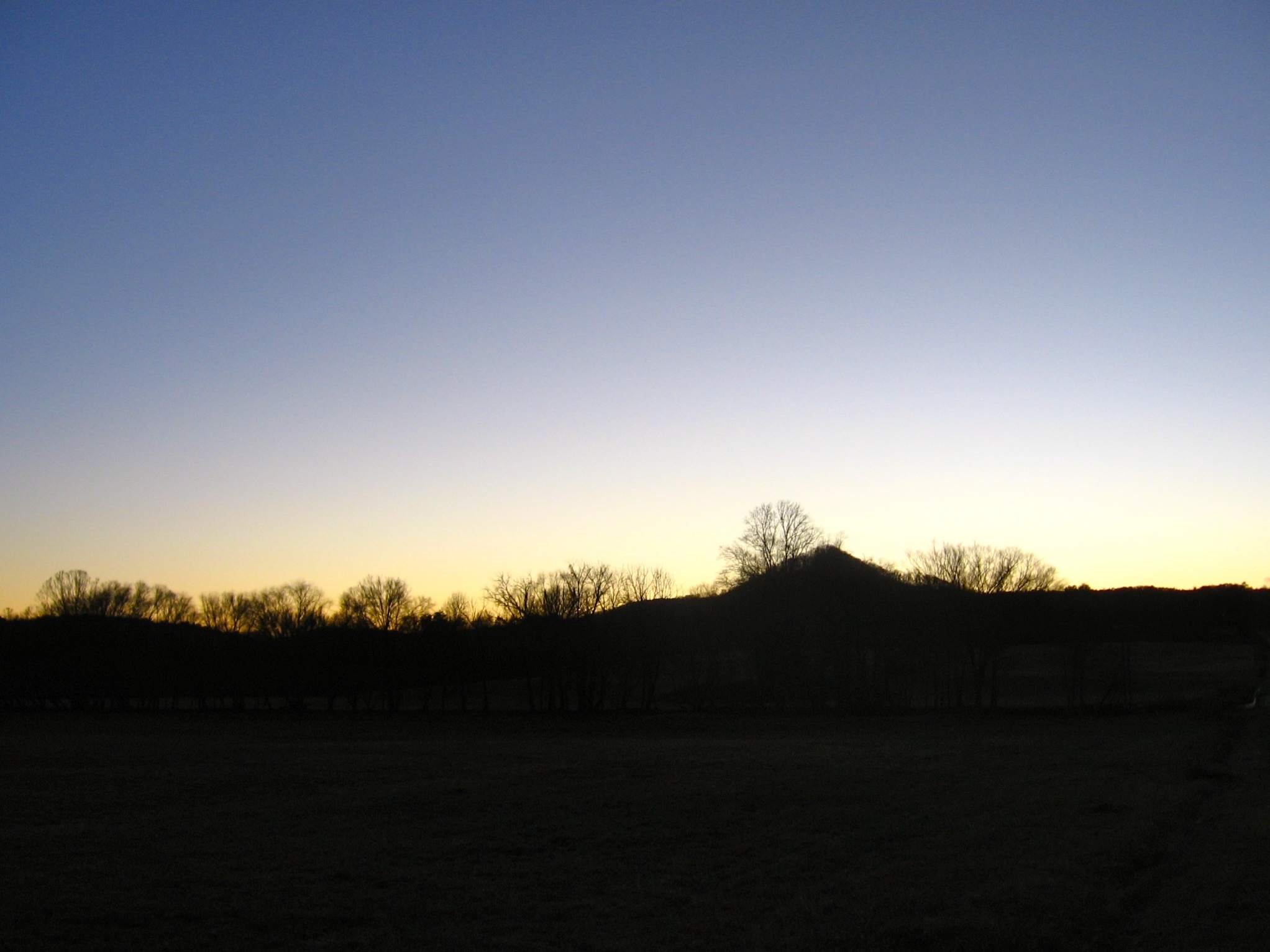
Tamassee Knob

Sunrise on the way to W4G/NG-025 - Glade Mtn

Sunrise on the way to W4G/NG-025 - Glade Mtn
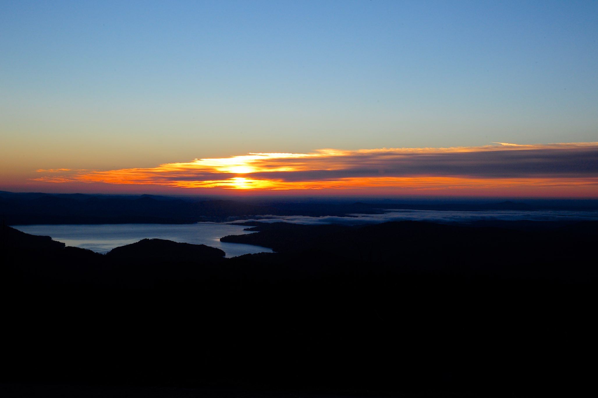
Sunrise on the way to W4G/NG-025 - Glade Mtn

Chattooga River Potholes Highlands NC - The Artist's Hand

Secret Falls
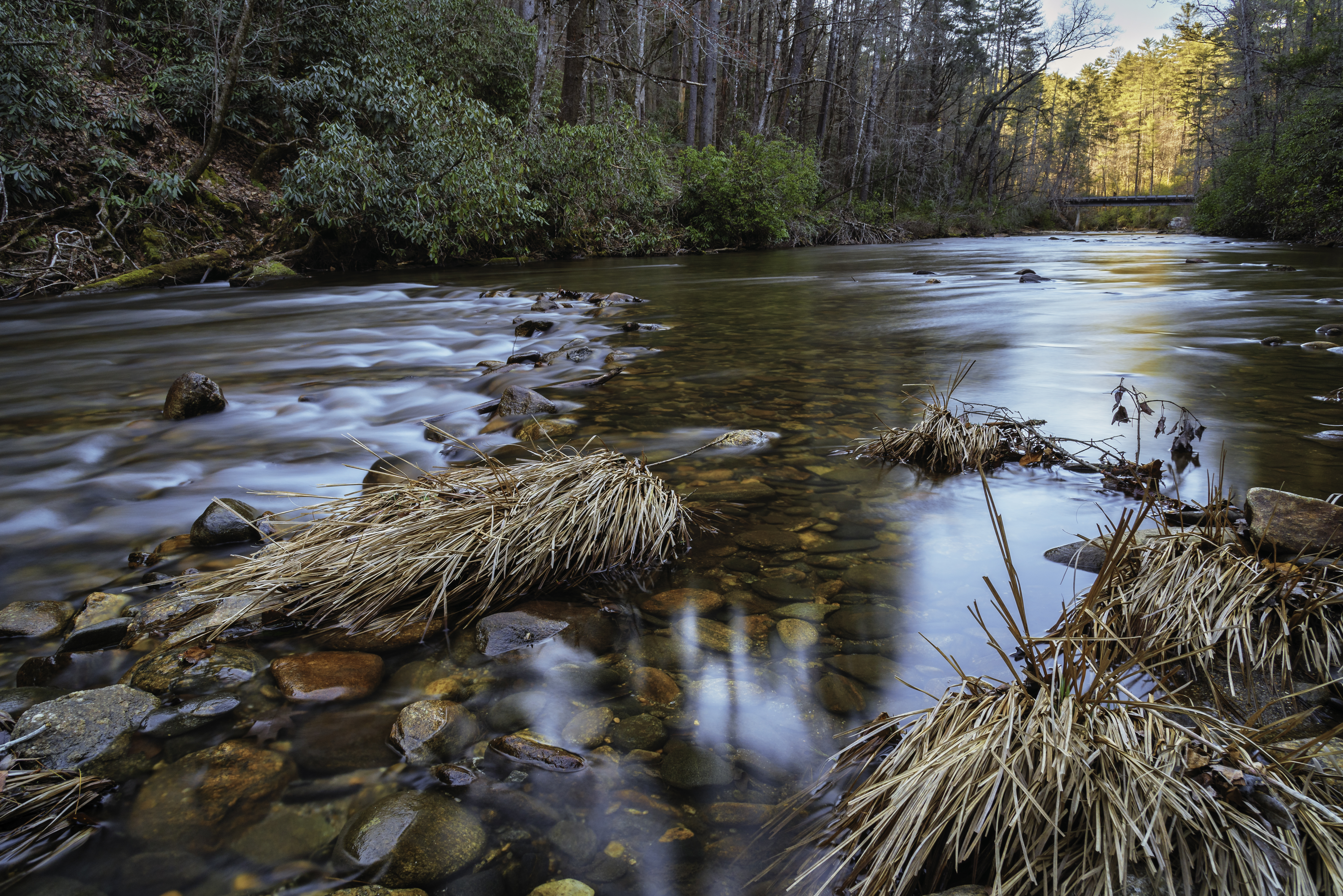
West Fork of the Chattooga River
Chattooga River at Burrells Ford
DSC_6132-2.jpg
DSC_6131-2.jpg
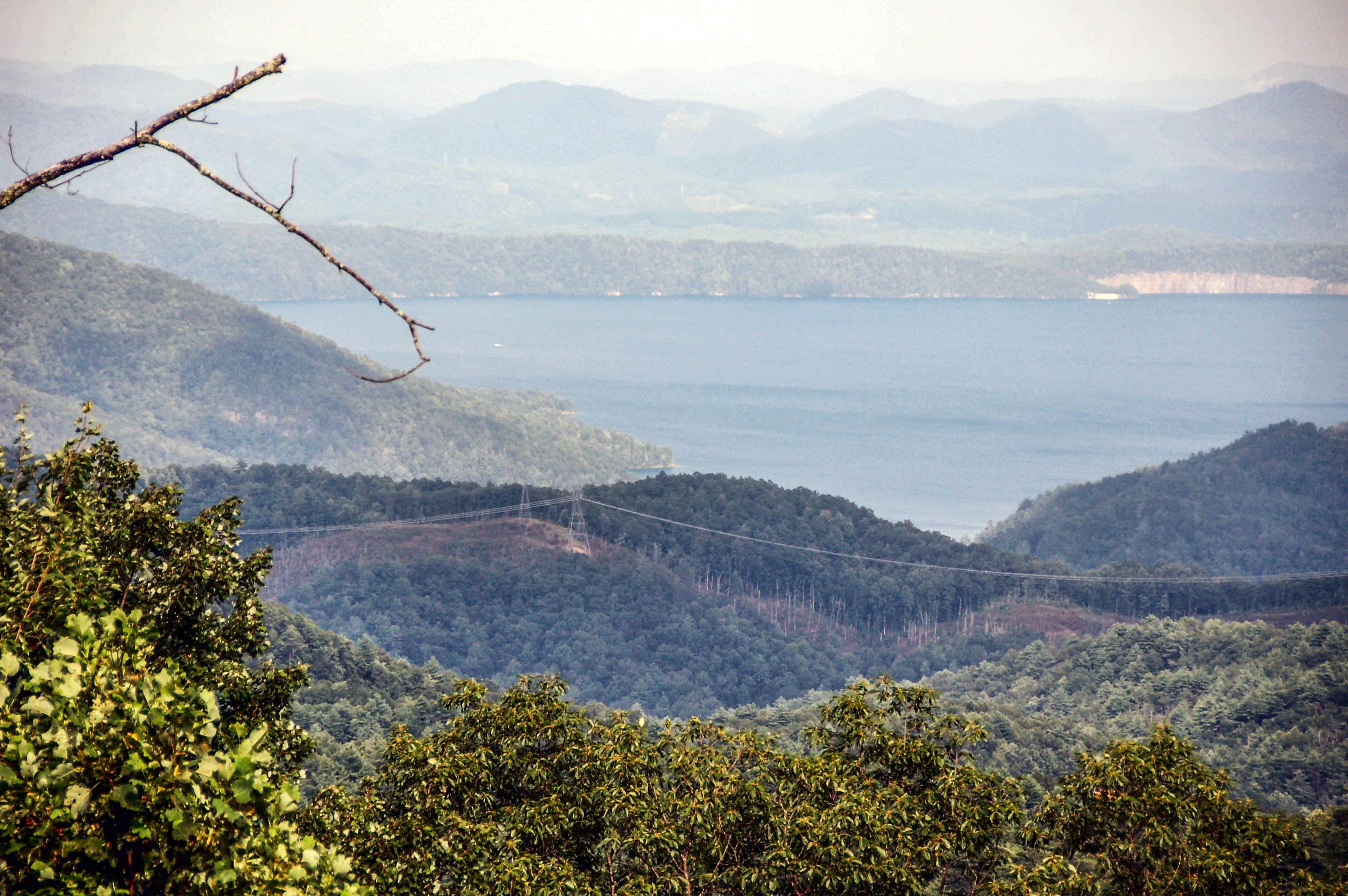
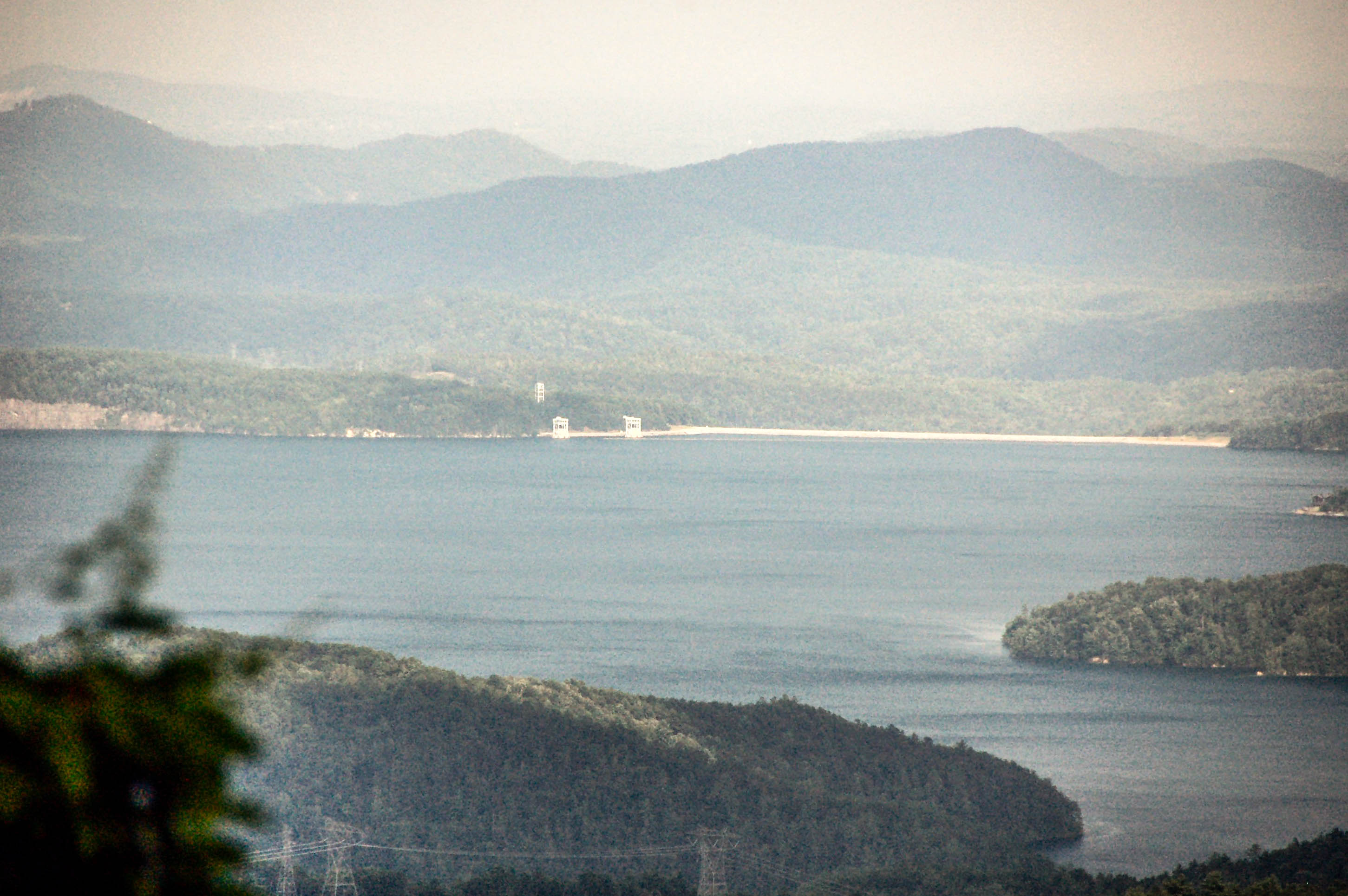
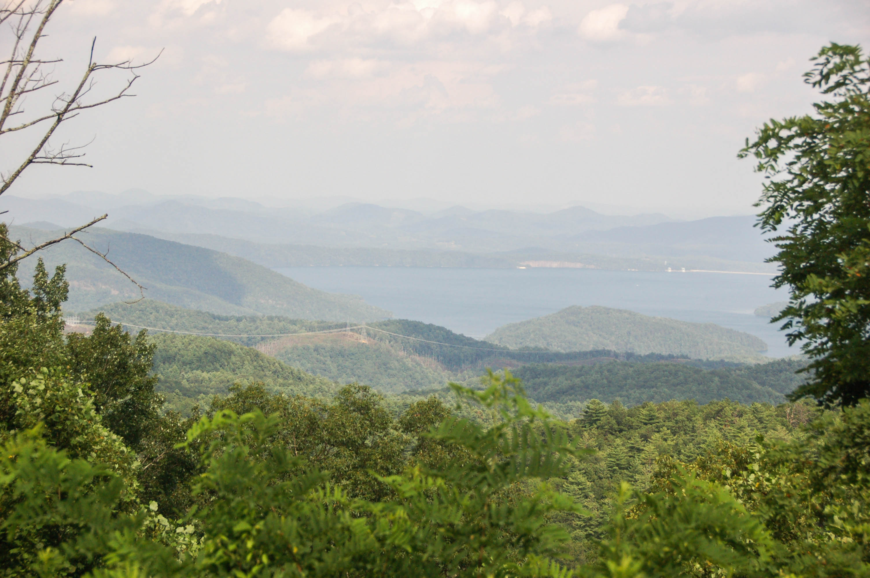
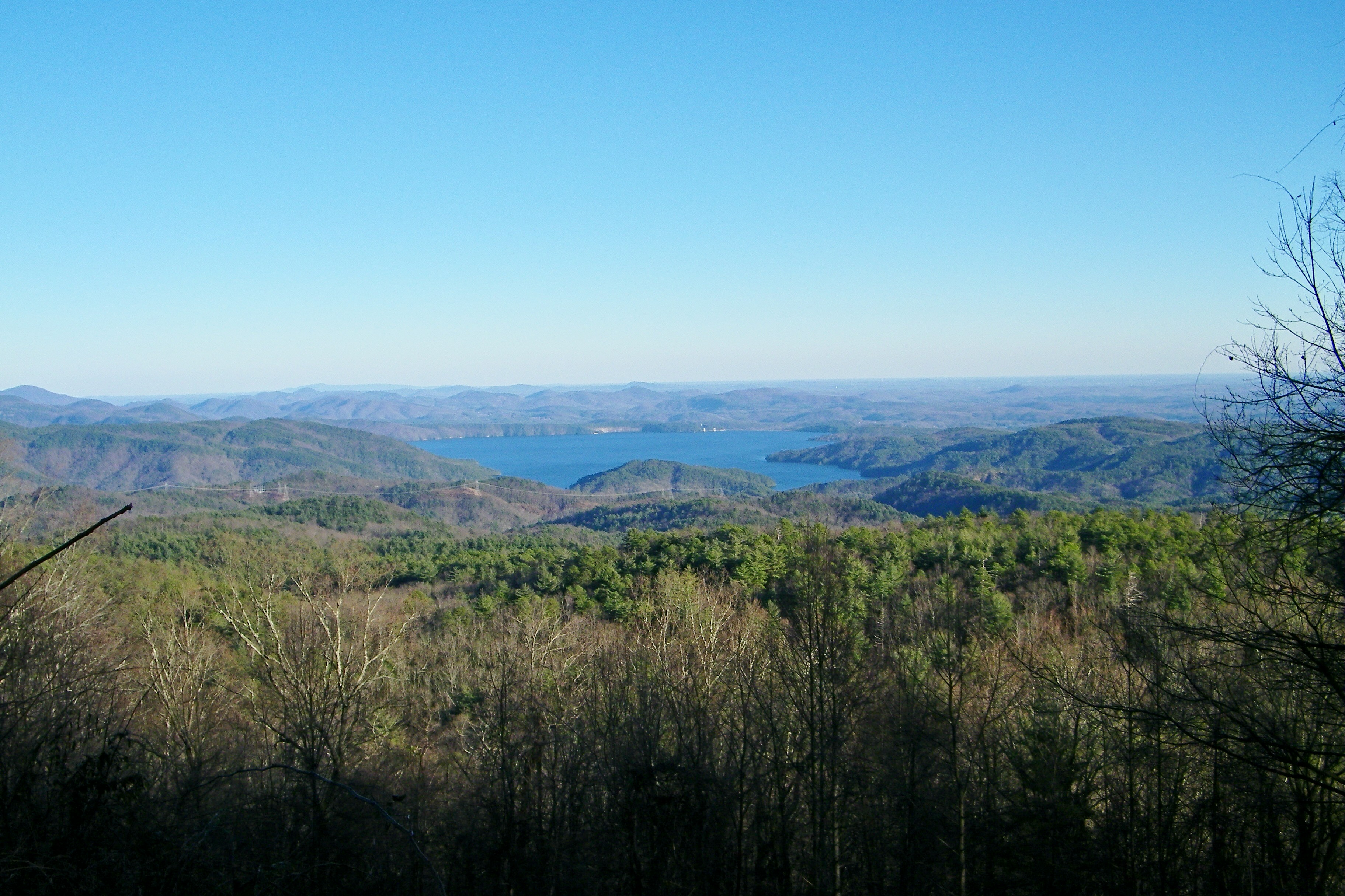
Lake Jocassee
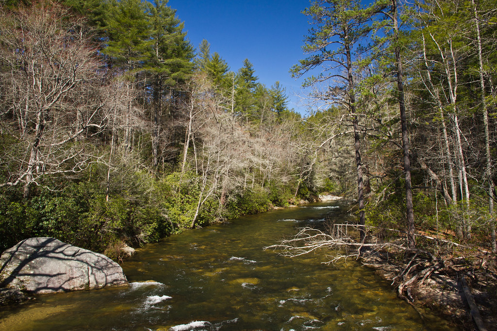
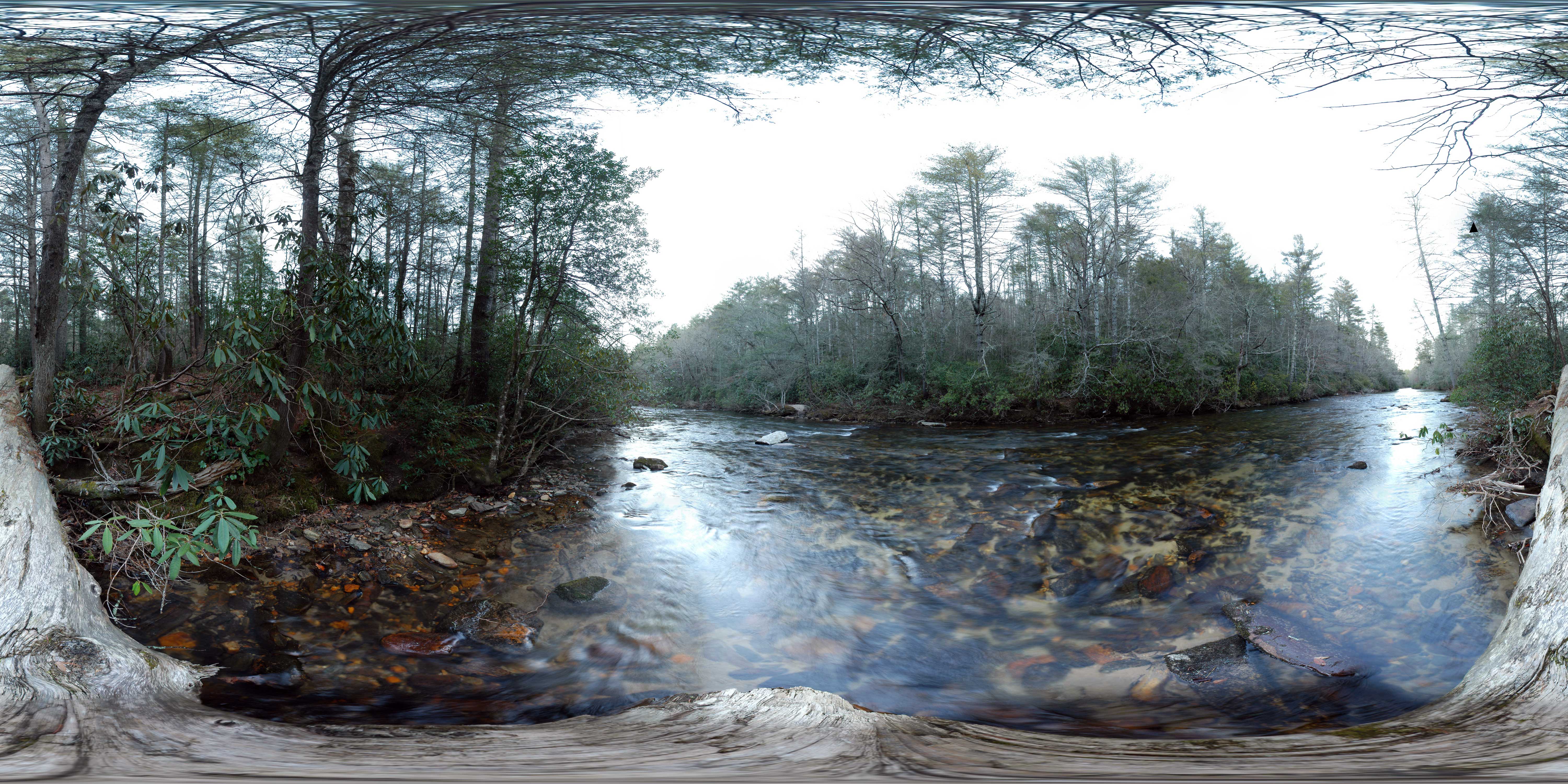
Chattooga river, north view from burrells ford

Issaqueena Falls
DSC_6129-2.jpg
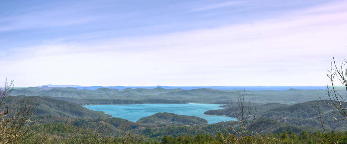
Lake Jocassee
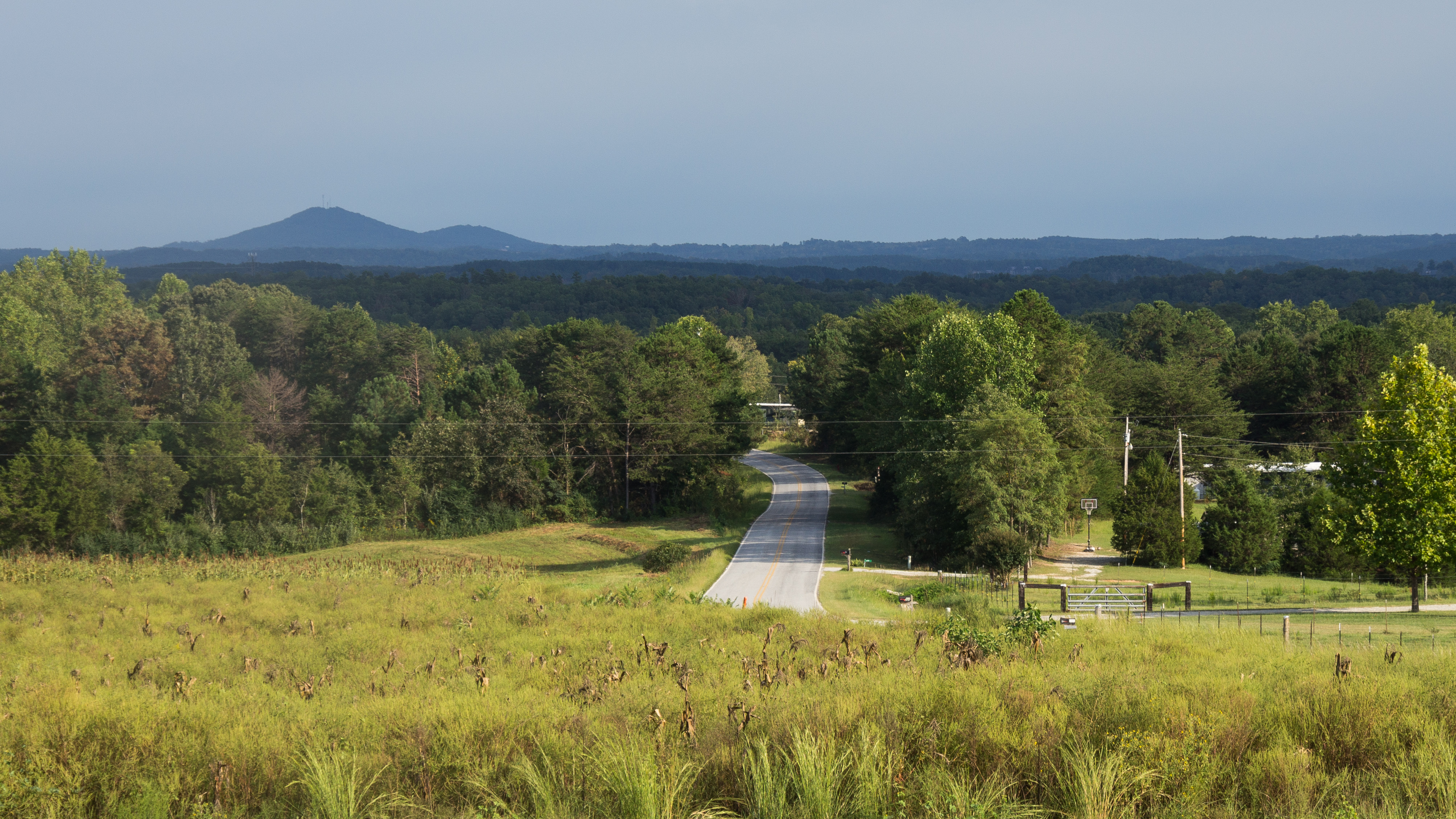
View from Boone's Creek Baptist Church
Lenore B Ln, Mountain Rest, SC, USA Karte
Suchen Sie einen anderen Ort
Nahe Plätze
Village Creek Road, Village Creek Rd, South Carolina, USA
Old Turnpike Rd, Mountain Rest, SC, USA
Lakeside Dr, Mountain Rest, SC, USA
Lakeside Dr, Mountain Rest, SC, USA
Bauknight Rd, Mountain Rest, SC, USA
Lake Becky Rd, Mountain Rest, SC, USA
South Carolina, SC-, South Carolina, USA
Mountain Rest, SC, USA
Nature Ln, Mountain Rest, SC, USA
Chattooga Lake Rd, Mountain Rest, SC, USA
Winding River Rd, Mountain Rest, SC, USA
Whites Way, Mountain Rest, SC, USA
The Bear Blvd, Tamassee, SC, USA
Lake Cheohee Rd, Tamassee, SC, USA
Crystal Lake Rd, Mountain Rest, SC, USA
Cherry Hill Recreation Area, SC-, Walhalla, SC, USA
Land Bridge Rd, Mountain Rest, SC, USA
Azalea Dr, Tamassee, SC, USA
W Village Creek Rd, Mountain Rest, SC, USA
Camp Oak Cir, Walhalla, SC, USA
Letzte Suche
- Red Dog Mine, AK, USA Sonnenaufgang Sonnenuntergang Zeiten
- Am Bahnhof, Am bhf, Borken, Germany Sonnenaufgang Sonnenuntergang Zeiten
- 4th St E, Sonoma, CA, USA Sonnenaufgang Sonnenuntergang Zeiten
- Oakland Ave, Williamsport, PA, USA Sonnenaufgang Sonnenuntergang Zeiten
- Via Roma, Pieranica CR, Italien Sonnenaufgang Sonnenuntergang Zeiten
- Glockenturm, Grad, Dubrovnik, Kroatien Sonnenaufgang Sonnenuntergang Zeiten
- Trelew, Chubut Province, Argentina Sonnenaufgang Sonnenuntergang Zeiten
- Hartfords Bluff Cir, Mt Pleasant, SC, USA Sonnenaufgang Sonnenuntergang Zeiten
- Kita-ku, Kumamoto, Präfektur Kumamoto, Japan Sonnenaufgang Sonnenuntergang Zeiten
- Pingtan Island, Pingtan County, Fuzhou, China Sonnenaufgang Sonnenuntergang Zeiten