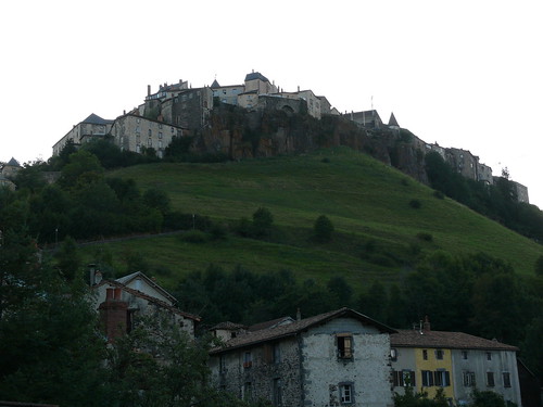
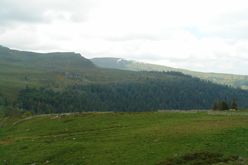
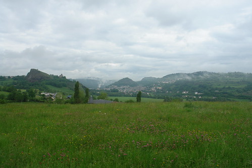
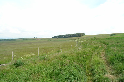
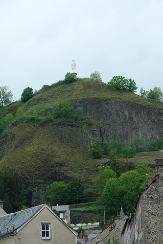
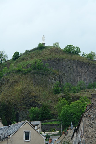
Le Bourg, Paulhac, Frankreich Sonnenaufgang Sonnenuntergang Zeiten
Location: Italien > Auvergne Rhône-Alpes > Département Cantal > Paulhac >
Zeitzone:
Europe/Paris
Ortszeit:
2025-06-18 01:15:11
Länge:
2.905084
Breite:
45.0060219
Sonnenaufgang Heute:
06:01:08 AM
Sonnenuntergang Heute:
09:38:07 PM
Tageslänge heute:
15h 36m 59s
Sonnenaufgang morgen:
06:01:17 AM
Sonnenuntergang Morgen:
09:38:25 PM
Tageslänge von morgen:
15h 37m 8s
Alle Termine anzeigen
| Datum | Sonnenaufgang | Sonnenuntergang | Tageslänge |
|---|---|---|---|
| 2025-01-01 | 08:26:33 AM | 05:17:59 PM | 8h 51m 26s |
| 2025-01-02 | 08:26:32 AM | 05:18:56 PM | 8h 52m 24s |
| 2025-01-03 | 08:26:29 AM | 05:19:54 PM | 8h 53m 25s |
| 2025-01-04 | 08:26:23 AM | 05:20:54 PM | 8h 54m 31s |
| 2025-01-05 | 08:26:14 AM | 05:21:56 PM | 8h 55m 42s |
| 2025-01-06 | 08:26:03 AM | 05:23:00 PM | 8h 56m 57s |
| 2025-01-07 | 08:25:49 AM | 05:24:05 PM | 8h 58m 16s |
| 2025-01-08 | 08:25:32 AM | 05:25:11 PM | 8h 59m 39s |
| 2025-01-09 | 08:25:13 AM | 05:26:20 PM | 9h 1m 7s |
| 2025-01-10 | 08:24:52 AM | 05:27:29 PM | 9h 2m 37s |
| 2025-01-11 | 08:24:28 AM | 05:28:40 PM | 9h 4m 12s |
| 2025-01-12 | 08:24:01 AM | 05:29:52 PM | 9h 5m 51s |
| 2025-01-13 | 08:23:32 AM | 05:31:06 PM | 9h 7m 34s |
| 2025-01-14 | 08:23:00 AM | 05:32:21 PM | 9h 9m 21s |
| 2025-01-15 | 08:22:26 AM | 05:33:36 PM | 9h 11m 10s |
| 2025-01-16 | 08:21:50 AM | 05:34:53 PM | 9h 13m 3s |
| 2025-01-17 | 08:21:11 AM | 05:36:11 PM | 9h 15m 0s |
| 2025-01-18 | 08:20:30 AM | 05:37:30 PM | 9h 17m 0s |
| 2025-01-19 | 08:19:46 AM | 05:38:49 PM | 9h 19m 3s |
| 2025-01-20 | 08:19:01 AM | 05:40:09 PM | 9h 21m 8s |
| 2025-01-21 | 08:18:12 AM | 05:41:31 PM | 9h 23m 19s |
| 2025-01-22 | 08:17:22 AM | 05:42:52 PM | 9h 25m 30s |
| 2025-01-23 | 08:16:30 AM | 05:44:15 PM | 9h 27m 45s |
| 2025-01-24 | 08:15:35 AM | 05:45:38 PM | 9h 30m 3s |
| 2025-01-25 | 08:14:39 AM | 05:47:01 PM | 9h 32m 22s |
| 2025-01-26 | 08:13:40 AM | 05:48:25 PM | 9h 34m 45s |
| 2025-01-27 | 08:12:39 AM | 05:49:49 PM | 9h 37m 10s |
| 2025-01-28 | 08:11:36 AM | 05:51:14 PM | 9h 39m 38s |
| 2025-01-29 | 08:10:32 AM | 05:52:39 PM | 9h 42m 7s |
| 2025-01-30 | 08:09:25 AM | 05:54:04 PM | 9h 44m 39s |
| 2025-01-31 | 08:08:17 AM | 05:55:30 PM | 9h 47m 13s |
| 2025-02-01 | 08:07:06 AM | 05:56:55 PM | 9h 49m 49s |
| 2025-02-02 | 08:05:54 AM | 05:58:21 PM | 9h 52m 27s |
| 2025-02-03 | 08:04:41 AM | 05:59:47 PM | 9h 55m 6s |
| 2025-02-04 | 08:03:25 AM | 06:01:13 PM | 9h 57m 48s |
| 2025-02-05 | 08:02:08 AM | 06:02:39 PM | 10h 0m 31s |
| 2025-02-06 | 08:00:49 AM | 06:04:05 PM | 10h 3m 16s |
| 2025-02-07 | 07:59:29 AM | 06:05:32 PM | 10h 6m 3s |
| 2025-02-08 | 07:58:07 AM | 06:06:58 PM | 10h 8m 51s |
| 2025-02-09 | 07:56:44 AM | 06:08:24 PM | 10h 11m 40s |
| 2025-02-10 | 07:55:19 AM | 06:09:49 PM | 10h 14m 30s |
| 2025-02-11 | 07:53:52 AM | 06:11:15 PM | 10h 17m 23s |
| 2025-02-12 | 07:52:25 AM | 06:12:41 PM | 10h 20m 16s |
| 2025-02-13 | 07:50:56 AM | 06:14:06 PM | 10h 23m 10s |
| 2025-02-14 | 07:49:26 AM | 06:15:32 PM | 10h 26m 6s |
| 2025-02-15 | 07:47:54 AM | 06:16:57 PM | 10h 29m 3s |
| 2025-02-16 | 07:46:21 AM | 06:18:22 PM | 10h 32m 1s |
| 2025-02-17 | 07:44:48 AM | 06:19:46 PM | 10h 34m 58s |
| 2025-02-18 | 07:43:13 AM | 06:21:11 PM | 10h 37m 58s |
| 2025-02-19 | 07:41:36 AM | 06:22:35 PM | 10h 40m 59s |
| 2025-02-20 | 07:39:59 AM | 06:23:59 PM | 10h 44m 0s |
| 2025-02-21 | 07:38:21 AM | 06:25:23 PM | 10h 47m 2s |
| 2025-02-22 | 07:36:42 AM | 06:26:46 PM | 10h 50m 4s |
| 2025-02-23 | 07:35:02 AM | 06:28:09 PM | 10h 53m 7s |
| 2025-02-24 | 07:33:21 AM | 06:29:32 PM | 10h 56m 11s |
| 2025-02-25 | 07:31:39 AM | 06:30:55 PM | 10h 59m 16s |
| 2025-02-26 | 07:29:56 AM | 06:32:17 PM | 11h 2m 21s |
| 2025-02-27 | 07:28:12 AM | 06:33:39 PM | 11h 5m 27s |
| 2025-02-28 | 07:26:28 AM | 06:35:01 PM | 11h 8m 33s |
| 2025-03-01 | 07:24:43 AM | 06:36:22 PM | 11h 11m 39s |
| 2025-03-02 | 07:22:57 AM | 06:37:43 PM | 11h 14m 46s |
| 2025-03-03 | 07:21:11 AM | 06:39:04 PM | 11h 17m 53s |
| 2025-03-04 | 07:19:24 AM | 06:40:25 PM | 11h 21m 1s |
| 2025-03-05 | 07:17:36 AM | 06:41:45 PM | 11h 24m 9s |
| 2025-03-06 | 07:15:48 AM | 06:43:05 PM | 11h 27m 17s |
| 2025-03-07 | 07:13:59 AM | 06:44:25 PM | 11h 30m 26s |
| 2025-03-08 | 07:12:10 AM | 06:45:44 PM | 11h 33m 34s |
| 2025-03-09 | 07:10:20 AM | 06:47:04 PM | 11h 36m 44s |
| 2025-03-10 | 07:08:30 AM | 06:48:23 PM | 11h 39m 53s |
| 2025-03-11 | 07:06:40 AM | 06:49:42 PM | 11h 43m 2s |
| 2025-03-12 | 07:04:49 AM | 06:51:00 PM | 11h 46m 11s |
| 2025-03-13 | 07:02:58 AM | 06:52:19 PM | 11h 49m 21s |
| 2025-03-14 | 07:01:06 AM | 06:53:37 PM | 11h 52m 31s |
| 2025-03-15 | 06:59:15 AM | 06:54:55 PM | 11h 55m 40s |
| 2025-03-16 | 06:57:23 AM | 06:56:12 PM | 11h 58m 49s |
| 2025-03-17 | 06:55:30 AM | 06:57:30 PM | 12h 2m 0s |
| 2025-03-18 | 06:53:38 AM | 06:58:47 PM | 12h 5m 9s |
| 2025-03-19 | 06:51:45 AM | 07:00:05 PM | 12h 8m 20s |
| 2025-03-20 | 06:49:53 AM | 07:01:22 PM | 12h 11m 29s |
| 2025-03-21 | 06:48:00 AM | 07:02:39 PM | 12h 14m 39s |
| 2025-03-22 | 06:46:07 AM | 07:03:56 PM | 12h 17m 49s |
| 2025-03-23 | 06:44:15 AM | 07:05:12 PM | 12h 20m 57s |
| 2025-03-24 | 06:42:22 AM | 07:06:29 PM | 12h 24m 7s |
| 2025-03-25 | 06:40:29 AM | 07:07:45 PM | 12h 27m 16s |
| 2025-03-26 | 06:38:37 AM | 07:09:02 PM | 12h 30m 25s |
| 2025-03-27 | 06:36:44 AM | 07:10:18 PM | 12h 33m 34s |
| 2025-03-28 | 06:34:52 AM | 07:11:34 PM | 12h 36m 42s |
| 2025-03-29 | 06:32:59 AM | 07:12:51 PM | 12h 39m 52s |
| 2025-03-30 | 07:31:12 AM | 08:14:04 PM | 12h 42m 52s |
| 2025-03-31 | 07:29:20 AM | 08:15:20 PM | 12h 46m 0s |
| 2025-04-01 | 07:27:29 AM | 08:16:36 PM | 12h 49m 7s |
| 2025-04-02 | 07:25:38 AM | 08:17:52 PM | 12h 52m 14s |
| 2025-04-03 | 07:23:47 AM | 08:19:07 PM | 12h 55m 20s |
| 2025-04-04 | 07:21:56 AM | 08:20:23 PM | 12h 58m 27s |
| 2025-04-05 | 07:20:06 AM | 08:21:39 PM | 13h 1m 33s |
| 2025-04-06 | 07:18:16 AM | 08:22:55 PM | 13h 4m 39s |
| 2025-04-07 | 07:16:27 AM | 08:24:11 PM | 13h 7m 44s |
| 2025-04-08 | 07:14:38 AM | 08:25:27 PM | 13h 10m 49s |
| 2025-04-09 | 07:12:50 AM | 08:26:43 PM | 13h 13m 53s |
| 2025-04-10 | 07:11:02 AM | 08:27:59 PM | 13h 16m 57s |
| 2025-04-11 | 07:09:15 AM | 08:29:14 PM | 13h 19m 59s |
| 2025-04-12 | 07:07:28 AM | 08:30:30 PM | 13h 23m 2s |
| 2025-04-13 | 07:05:42 AM | 08:31:46 PM | 13h 26m 4s |
| 2025-04-14 | 07:03:57 AM | 08:33:02 PM | 13h 29m 5s |
| 2025-04-15 | 07:02:12 AM | 08:34:18 PM | 13h 32m 6s |
| 2025-04-16 | 07:00:29 AM | 08:35:34 PM | 13h 35m 5s |
| 2025-04-17 | 06:58:46 AM | 08:36:49 PM | 13h 38m 3s |
| 2025-04-18 | 06:57:03 AM | 08:38:05 PM | 13h 41m 2s |
| 2025-04-19 | 06:55:22 AM | 08:39:21 PM | 13h 43m 59s |
| 2025-04-20 | 06:53:42 AM | 08:40:37 PM | 13h 46m 55s |
| 2025-04-21 | 06:52:02 AM | 08:41:52 PM | 13h 49m 50s |
| 2025-04-22 | 06:50:23 AM | 08:43:08 PM | 13h 52m 45s |
| 2025-04-23 | 06:48:46 AM | 08:44:23 PM | 13h 55m 37s |
| 2025-04-24 | 06:47:09 AM | 08:45:39 PM | 13h 58m 30s |
| 2025-04-25 | 06:45:33 AM | 08:46:54 PM | 14h 1m 21s |
| 2025-04-26 | 06:43:59 AM | 08:48:10 PM | 14h 4m 11s |
| 2025-04-27 | 06:42:26 AM | 08:49:25 PM | 14h 6m 59s |
| 2025-04-28 | 06:40:53 AM | 08:50:40 PM | 14h 9m 47s |
| 2025-04-29 | 06:39:22 AM | 08:51:55 PM | 14h 12m 33s |
| 2025-04-30 | 06:37:53 AM | 08:53:09 PM | 14h 15m 16s |
| 2025-05-01 | 06:36:24 AM | 08:54:24 PM | 14h 18m 0s |
| 2025-05-02 | 06:34:57 AM | 08:55:38 PM | 14h 20m 41s |
| 2025-05-03 | 06:33:31 AM | 08:56:52 PM | 14h 23m 21s |
| 2025-05-04 | 06:32:07 AM | 08:58:06 PM | 14h 25m 59s |
| 2025-05-05 | 06:30:44 AM | 08:59:19 PM | 14h 28m 35s |
| 2025-05-06 | 06:29:22 AM | 09:00:33 PM | 14h 31m 11s |
| 2025-05-07 | 06:28:02 AM | 09:01:45 PM | 14h 33m 43s |
| 2025-05-08 | 06:26:43 AM | 09:02:58 PM | 14h 36m 15s |
| 2025-05-09 | 06:25:26 AM | 09:04:10 PM | 14h 38m 44s |
| 2025-05-10 | 06:24:11 AM | 09:05:21 PM | 14h 41m 10s |
| 2025-05-11 | 06:22:57 AM | 09:06:32 PM | 14h 43m 35s |
| 2025-05-12 | 06:21:45 AM | 09:07:43 PM | 14h 45m 58s |
| 2025-05-13 | 06:20:34 AM | 09:08:53 PM | 14h 48m 19s |
| 2025-05-14 | 06:19:26 AM | 09:10:02 PM | 14h 50m 36s |
| 2025-05-15 | 06:18:19 AM | 09:11:11 PM | 14h 52m 52s |
| 2025-05-16 | 06:17:14 AM | 09:12:19 PM | 14h 55m 5s |
| 2025-05-17 | 06:16:10 AM | 09:13:26 PM | 14h 57m 16s |
| 2025-05-18 | 06:15:09 AM | 09:14:33 PM | 14h 59m 24s |
| 2025-05-19 | 06:14:10 AM | 09:15:39 PM | 15h 1m 29s |
| 2025-05-20 | 06:13:12 AM | 09:16:43 PM | 15h 3m 31s |
| 2025-05-21 | 06:12:16 AM | 09:17:47 PM | 15h 5m 31s |
| 2025-05-22 | 06:11:23 AM | 09:18:50 PM | 15h 7m 27s |
| 2025-05-23 | 06:10:31 AM | 09:19:52 PM | 15h 9m 21s |
| 2025-05-24 | 06:09:42 AM | 09:20:53 PM | 15h 11m 11s |
| 2025-05-25 | 06:08:55 AM | 09:21:53 PM | 15h 12m 58s |
| 2025-05-26 | 06:08:09 AM | 09:22:52 PM | 15h 14m 43s |
| 2025-05-27 | 06:07:26 AM | 09:23:49 PM | 15h 16m 23s |
| 2025-05-28 | 06:06:45 AM | 09:24:46 PM | 15h 18m 1s |
| 2025-05-29 | 06:06:06 AM | 09:25:41 PM | 15h 19m 35s |
| 2025-05-30 | 06:05:30 AM | 09:26:34 PM | 15h 21m 4s |
| 2025-05-31 | 06:04:55 AM | 09:27:26 PM | 15h 22m 31s |
| 2025-06-01 | 06:04:23 AM | 09:28:17 PM | 15h 23m 54s |
| 2025-06-02 | 06:03:54 AM | 09:29:06 PM | 15h 25m 12s |
| 2025-06-03 | 06:03:26 AM | 09:29:54 PM | 15h 26m 28s |
| 2025-06-04 | 06:03:01 AM | 09:30:40 PM | 15h 27m 39s |
| 2025-06-05 | 06:02:38 AM | 09:31:25 PM | 15h 28m 47s |
| 2025-06-06 | 06:02:17 AM | 09:32:07 PM | 15h 29m 50s |
| 2025-06-07 | 06:01:59 AM | 09:32:48 PM | 15h 30m 49s |
| 2025-06-08 | 06:01:43 AM | 09:33:28 PM | 15h 31m 45s |
| 2025-06-09 | 06:01:29 AM | 09:34:05 PM | 15h 32m 36s |
| 2025-06-10 | 06:01:18 AM | 09:34:40 PM | 15h 33m 22s |
| 2025-06-11 | 06:01:09 AM | 09:35:14 PM | 15h 34m 5s |
| 2025-06-12 | 06:01:02 AM | 09:35:46 PM | 15h 34m 44s |
| 2025-06-13 | 06:00:58 AM | 09:36:15 PM | 15h 35m 17s |
| 2025-06-14 | 06:00:56 AM | 09:36:43 PM | 15h 35m 47s |
| 2025-06-15 | 06:00:56 AM | 09:37:08 PM | 15h 36m 12s |
| 2025-06-16 | 06:00:58 AM | 09:37:32 PM | 15h 36m 34s |
| 2025-06-17 | 06:01:03 AM | 09:37:53 PM | 15h 36m 50s |
| 2025-06-18 | 06:01:10 AM | 09:38:12 PM | 15h 37m 2s |
| 2025-06-19 | 06:01:20 AM | 09:38:29 PM | 15h 37m 9s |
| 2025-06-20 | 06:01:31 AM | 09:38:43 PM | 15h 37m 12s |
| 2025-06-21 | 06:01:45 AM | 09:38:56 PM | 15h 37m 11s |
| 2025-06-22 | 06:02:01 AM | 09:39:06 PM | 15h 37m 5s |
| 2025-06-23 | 06:02:19 AM | 09:39:14 PM | 15h 36m 55s |
| 2025-06-24 | 06:02:39 AM | 09:39:19 PM | 15h 36m 40s |
| 2025-06-25 | 06:03:01 AM | 09:39:22 PM | 15h 36m 21s |
| 2025-06-26 | 06:03:26 AM | 09:39:23 PM | 15h 35m 57s |
| 2025-06-27 | 06:03:52 AM | 09:39:21 PM | 15h 35m 29s |
| 2025-06-28 | 06:04:20 AM | 09:39:18 PM | 15h 34m 58s |
| 2025-06-29 | 06:04:51 AM | 09:39:11 PM | 15h 34m 20s |
| 2025-06-30 | 06:05:23 AM | 09:39:03 PM | 15h 33m 40s |
| 2025-07-01 | 06:05:57 AM | 09:38:52 PM | 15h 32m 55s |
| 2025-07-02 | 06:06:33 AM | 09:38:38 PM | 15h 32m 5s |
| 2025-07-03 | 06:07:10 AM | 09:38:22 PM | 15h 31m 12s |
| 2025-07-04 | 06:07:49 AM | 09:38:04 PM | 15h 30m 15s |
| 2025-07-05 | 06:08:30 AM | 09:37:44 PM | 15h 29m 14s |
| 2025-07-06 | 06:09:13 AM | 09:37:21 PM | 15h 28m 8s |
| 2025-07-07 | 06:09:57 AM | 09:36:56 PM | 15h 26m 59s |
| 2025-07-08 | 06:10:43 AM | 09:36:28 PM | 15h 25m 45s |
| 2025-07-09 | 06:11:30 AM | 09:35:58 PM | 15h 24m 28s |
| 2025-07-10 | 06:12:19 AM | 09:35:26 PM | 15h 23m 7s |
| 2025-07-11 | 06:13:09 AM | 09:34:52 PM | 15h 21m 43s |
| 2025-07-12 | 06:14:01 AM | 09:34:15 PM | 15h 20m 14s |
| 2025-07-13 | 06:14:53 AM | 09:33:36 PM | 15h 18m 43s |
| 2025-07-14 | 06:15:47 AM | 09:32:55 PM | 15h 17m 8s |
| 2025-07-15 | 06:16:42 AM | 09:32:12 PM | 15h 15m 30s |
| 2025-07-16 | 06:17:39 AM | 09:31:26 PM | 15h 13m 47s |
| 2025-07-17 | 06:18:36 AM | 09:30:39 PM | 15h 12m 3s |
| 2025-07-18 | 06:19:34 AM | 09:29:49 PM | 15h 10m 15s |
| 2025-07-19 | 06:20:34 AM | 09:28:57 PM | 15h 8m 23s |
| 2025-07-20 | 06:21:34 AM | 09:28:03 PM | 15h 6m 29s |
| 2025-07-21 | 06:22:35 AM | 09:27:07 PM | 15h 4m 32s |
| 2025-07-22 | 06:23:37 AM | 09:26:09 PM | 15h 2m 32s |
| 2025-07-23 | 06:24:40 AM | 09:25:09 PM | 15h 0m 29s |
| 2025-07-24 | 06:25:44 AM | 09:24:08 PM | 14h 58m 24s |
| 2025-07-25 | 06:26:48 AM | 09:23:04 PM | 14h 56m 16s |
| 2025-07-26 | 06:27:53 AM | 09:21:58 PM | 14h 54m 5s |
| 2025-07-27 | 06:28:59 AM | 09:20:51 PM | 14h 51m 52s |
| 2025-07-28 | 06:30:05 AM | 09:19:41 PM | 14h 49m 36s |
| 2025-07-29 | 06:31:12 AM | 09:18:30 PM | 14h 47m 18s |
| 2025-07-30 | 06:32:19 AM | 09:17:18 PM | 14h 44m 59s |
| 2025-07-31 | 06:33:27 AM | 09:16:03 PM | 14h 42m 36s |
| 2025-08-01 | 06:34:35 AM | 09:14:47 PM | 14h 40m 12s |
| 2025-08-02 | 06:35:44 AM | 09:13:30 PM | 14h 37m 46s |
| 2025-08-03 | 06:36:53 AM | 09:12:10 PM | 14h 35m 17s |
| 2025-08-04 | 06:38:02 AM | 09:10:50 PM | 14h 32m 48s |
| 2025-08-05 | 06:39:12 AM | 09:09:27 PM | 14h 30m 15s |
| 2025-08-06 | 06:40:22 AM | 09:08:03 PM | 14h 27m 41s |
| 2025-08-07 | 06:41:32 AM | 09:06:38 PM | 14h 25m 6s |
| 2025-08-08 | 06:42:42 AM | 09:05:12 PM | 14h 22m 30s |
| 2025-08-09 | 06:43:53 AM | 09:03:44 PM | 14h 19m 51s |
| 2025-08-10 | 06:45:04 AM | 09:02:14 PM | 14h 17m 10s |
| 2025-08-11 | 06:46:15 AM | 09:00:44 PM | 14h 14m 29s |
| 2025-08-12 | 06:47:26 AM | 08:59:12 PM | 14h 11m 46s |
| 2025-08-13 | 06:48:37 AM | 08:57:39 PM | 14h 9m 2s |
| 2025-08-14 | 06:49:48 AM | 08:56:04 PM | 14h 6m 16s |
| 2025-08-15 | 06:51:00 AM | 08:54:29 PM | 14h 3m 29s |
| 2025-08-16 | 06:52:11 AM | 08:52:53 PM | 14h 0m 42s |
| 2025-08-17 | 06:53:22 AM | 08:51:15 PM | 13h 57m 53s |
| 2025-08-18 | 06:54:34 AM | 08:49:36 PM | 13h 55m 2s |
| 2025-08-19 | 06:55:45 AM | 08:47:57 PM | 13h 52m 12s |
| 2025-08-20 | 06:56:57 AM | 08:46:16 PM | 13h 49m 19s |
| 2025-08-21 | 06:58:09 AM | 08:44:35 PM | 13h 46m 26s |
| 2025-08-22 | 06:59:20 AM | 08:42:52 PM | 13h 43m 32s |
| 2025-08-23 | 07:00:32 AM | 08:41:09 PM | 13h 40m 37s |
| 2025-08-24 | 07:01:43 AM | 08:39:25 PM | 13h 37m 42s |
| 2025-08-25 | 07:02:55 AM | 08:37:40 PM | 13h 34m 45s |
| 2025-08-26 | 07:04:06 AM | 08:35:54 PM | 13h 31m 48s |
| 2025-08-27 | 07:05:18 AM | 08:34:07 PM | 13h 28m 49s |
| 2025-08-28 | 07:06:29 AM | 08:32:20 PM | 13h 25m 51s |
| 2025-08-29 | 07:07:41 AM | 08:30:33 PM | 13h 22m 52s |
| 2025-08-30 | 07:08:52 AM | 08:28:44 PM | 13h 19m 52s |
| 2025-08-31 | 07:10:03 AM | 08:26:55 PM | 13h 16m 52s |
| 2025-09-01 | 07:11:15 AM | 08:25:05 PM | 13h 13m 50s |
| 2025-09-02 | 07:12:26 AM | 08:23:15 PM | 13h 10m 49s |
| 2025-09-03 | 07:13:37 AM | 08:21:25 PM | 13h 7m 48s |
| 2025-09-04 | 07:14:49 AM | 08:19:33 PM | 13h 4m 44s |
| 2025-09-05 | 07:16:00 AM | 08:17:42 PM | 13h 1m 42s |
| 2025-09-06 | 07:17:11 AM | 08:15:50 PM | 12h 58m 39s |
| 2025-09-07 | 07:18:22 AM | 08:13:57 PM | 12h 55m 35s |
| 2025-09-08 | 07:19:34 AM | 08:12:05 PM | 12h 52m 31s |
| 2025-09-09 | 07:20:45 AM | 08:10:11 PM | 12h 49m 26s |
| 2025-09-10 | 07:21:56 AM | 08:08:18 PM | 12h 46m 22s |
| 2025-09-11 | 07:23:07 AM | 08:06:24 PM | 12h 43m 17s |
| 2025-09-12 | 07:24:19 AM | 08:04:31 PM | 12h 40m 12s |
| 2025-09-13 | 07:25:30 AM | 08:02:36 PM | 12h 37m 6s |
| 2025-09-14 | 07:26:42 AM | 08:00:42 PM | 12h 34m 0s |
| 2025-09-15 | 07:27:53 AM | 07:58:48 PM | 12h 30m 55s |
| 2025-09-16 | 07:29:05 AM | 07:56:53 PM | 12h 27m 48s |
| 2025-09-17 | 07:30:17 AM | 07:54:59 PM | 12h 24m 42s |
| 2025-09-18 | 07:31:28 AM | 07:53:04 PM | 12h 21m 36s |
| 2025-09-19 | 07:32:40 AM | 07:51:09 PM | 12h 18m 29s |
| 2025-09-20 | 07:33:52 AM | 07:49:15 PM | 12h 15m 23s |
| 2025-09-21 | 07:35:04 AM | 07:47:20 PM | 12h 12m 16s |
| 2025-09-22 | 07:36:17 AM | 07:45:26 PM | 12h 9m 9s |
| 2025-09-23 | 07:37:29 AM | 07:43:31 PM | 12h 6m 2s |
| 2025-09-24 | 07:38:42 AM | 07:41:37 PM | 12h 2m 55s |
| 2025-09-25 | 07:39:54 AM | 07:39:43 PM | 11h 59m 49s |
| 2025-09-26 | 07:41:07 AM | 07:37:49 PM | 11h 56m 42s |
| 2025-09-27 | 07:42:20 AM | 07:35:55 PM | 11h 53m 35s |
| 2025-09-28 | 07:43:34 AM | 07:34:02 PM | 11h 50m 28s |
| 2025-09-29 | 07:44:47 AM | 07:32:08 PM | 11h 47m 21s |
| 2025-09-30 | 07:46:01 AM | 07:30:15 PM | 11h 44m 14s |
| 2025-10-01 | 07:47:15 AM | 07:28:23 PM | 11h 41m 8s |
| 2025-10-02 | 07:48:29 AM | 07:26:31 PM | 11h 38m 2s |
| 2025-10-03 | 07:49:43 AM | 07:24:39 PM | 11h 34m 56s |
| 2025-10-04 | 07:50:58 AM | 07:22:48 PM | 11h 31m 50s |
| 2025-10-05 | 07:52:13 AM | 07:20:57 PM | 11h 28m 44s |
| 2025-10-06 | 07:53:28 AM | 07:19:06 PM | 11h 25m 38s |
| 2025-10-07 | 07:54:44 AM | 07:17:17 PM | 11h 22m 33s |
| 2025-10-08 | 07:56:00 AM | 07:15:27 PM | 11h 19m 27s |
| 2025-10-09 | 07:57:16 AM | 07:13:39 PM | 11h 16m 23s |
| 2025-10-10 | 07:58:32 AM | 07:11:51 PM | 11h 13m 19s |
| 2025-10-11 | 07:59:49 AM | 07:10:03 PM | 11h 10m 14s |
| 2025-10-12 | 08:01:06 AM | 07:08:17 PM | 11h 7m 11s |
| 2025-10-13 | 08:02:23 AM | 07:06:31 PM | 11h 4m 8s |
| 2025-10-14 | 08:03:41 AM | 07:04:46 PM | 11h 1m 5s |
| 2025-10-15 | 08:04:59 AM | 07:03:01 PM | 10h 58m 2s |
| 2025-10-16 | 08:06:17 AM | 07:01:18 PM | 10h 55m 1s |
| 2025-10-17 | 08:07:35 AM | 06:59:35 PM | 10h 52m 0s |
| 2025-10-18 | 08:08:54 AM | 06:57:54 PM | 10h 49m 0s |
| 2025-10-19 | 08:10:13 AM | 06:56:13 PM | 10h 46m 0s |
| 2025-10-20 | 08:11:33 AM | 06:54:33 PM | 10h 43m 0s |
| 2025-10-21 | 08:12:52 AM | 06:52:54 PM | 10h 40m 2s |
| 2025-10-22 | 08:14:12 AM | 06:51:17 PM | 10h 37m 5s |
| 2025-10-23 | 08:15:33 AM | 06:49:40 PM | 10h 34m 7s |
| 2025-10-24 | 08:16:53 AM | 06:48:05 PM | 10h 31m 12s |
| 2025-10-25 | 08:18:14 AM | 06:46:31 PM | 10h 28m 17s |
| 2025-10-26 | 07:19:38 AM | 05:44:54 PM | 10h 25m 16s |
| 2025-10-27 | 07:21:00 AM | 05:43:22 PM | 10h 22m 22s |
| 2025-10-28 | 07:22:21 AM | 05:41:51 PM | 10h 19m 30s |
| 2025-10-29 | 07:23:43 AM | 05:40:22 PM | 10h 16m 39s |
| 2025-10-30 | 07:25:05 AM | 05:38:55 PM | 10h 13m 50s |
| 2025-10-31 | 07:26:27 AM | 05:37:28 PM | 10h 11m 1s |
| 2025-11-01 | 07:27:49 AM | 05:36:03 PM | 10h 8m 14s |
| 2025-11-02 | 07:29:11 AM | 05:34:40 PM | 10h 5m 29s |
| 2025-11-03 | 07:30:34 AM | 05:33:18 PM | 10h 2m 44s |
| 2025-11-04 | 07:31:56 AM | 05:31:58 PM | 10h 0m 2s |
| 2025-11-05 | 07:33:19 AM | 05:30:39 PM | 9h 57m 20s |
| 2025-11-06 | 07:34:41 AM | 05:29:22 PM | 9h 54m 41s |
| 2025-11-07 | 07:36:04 AM | 05:28:07 PM | 9h 52m 3s |
| 2025-11-08 | 07:37:26 AM | 05:26:54 PM | 9h 49m 28s |
| 2025-11-09 | 07:38:49 AM | 05:25:42 PM | 9h 46m 53s |
| 2025-11-10 | 07:40:11 AM | 05:24:32 PM | 9h 44m 21s |
| 2025-11-11 | 07:41:33 AM | 05:23:24 PM | 9h 41m 51s |
| 2025-11-12 | 07:42:55 AM | 05:22:18 PM | 9h 39m 23s |
| 2025-11-13 | 07:44:16 AM | 05:21:13 PM | 9h 36m 57s |
| 2025-11-14 | 07:45:38 AM | 05:20:11 PM | 9h 34m 33s |
| 2025-11-15 | 07:46:59 AM | 05:19:11 PM | 9h 32m 12s |
| 2025-11-16 | 07:48:19 AM | 05:18:13 PM | 9h 29m 54s |
| 2025-11-17 | 07:49:39 AM | 05:17:17 PM | 9h 27m 38s |
| 2025-11-18 | 07:50:59 AM | 05:16:23 PM | 9h 25m 24s |
| 2025-11-19 | 07:52:18 AM | 05:15:31 PM | 9h 23m 13s |
| 2025-11-20 | 07:53:37 AM | 05:14:42 PM | 9h 21m 5s |
| 2025-11-21 | 07:54:54 AM | 05:13:55 PM | 9h 19m 1s |
| 2025-11-22 | 07:56:12 AM | 05:13:10 PM | 9h 16m 58s |
| 2025-11-23 | 07:57:28 AM | 05:12:27 PM | 9h 14m 59s |
| 2025-11-24 | 07:58:43 AM | 05:11:47 PM | 9h 13m 4s |
| 2025-11-25 | 07:59:58 AM | 05:11:09 PM | 9h 11m 11s |
| 2025-11-26 | 08:01:12 AM | 05:10:34 PM | 9h 9m 22s |
| 2025-11-27 | 08:02:25 AM | 05:10:01 PM | 9h 7m 36s |
| 2025-11-28 | 08:03:36 AM | 05:09:31 PM | 9h 5m 55s |
| 2025-11-29 | 08:04:47 AM | 05:09:03 PM | 9h 4m 16s |
| 2025-11-30 | 08:05:56 AM | 05:08:37 PM | 9h 2m 41s |
| 2025-12-01 | 08:07:04 AM | 05:08:14 PM | 9h 1m 10s |
| 2025-12-02 | 08:08:11 AM | 05:07:54 PM | 8h 59m 43s |
| 2025-12-03 | 08:09:16 AM | 05:07:36 PM | 8h 58m 20s |
| 2025-12-04 | 08:10:20 AM | 05:07:21 PM | 8h 57m 1s |
| 2025-12-05 | 08:11:22 AM | 05:07:09 PM | 8h 55m 47s |
| 2025-12-06 | 08:12:23 AM | 05:06:59 PM | 8h 54m 36s |
| 2025-12-07 | 08:13:22 AM | 05:06:52 PM | 8h 53m 30s |
| 2025-12-08 | 08:14:20 AM | 05:06:48 PM | 8h 52m 28s |
| 2025-12-09 | 08:15:15 AM | 05:06:46 PM | 8h 51m 31s |
| 2025-12-10 | 08:16:09 AM | 05:06:47 PM | 8h 50m 38s |
| 2025-12-11 | 08:17:01 AM | 05:06:50 PM | 8h 49m 49s |
| 2025-12-12 | 08:17:51 AM | 05:06:56 PM | 8h 49m 5s |
| 2025-12-13 | 08:18:39 AM | 05:07:05 PM | 8h 48m 26s |
| 2025-12-14 | 08:19:25 AM | 05:07:17 PM | 8h 47m 52s |
| 2025-12-15 | 08:20:09 AM | 05:07:31 PM | 8h 47m 22s |
| 2025-12-16 | 08:20:50 AM | 05:07:47 PM | 8h 46m 57s |
| 2025-12-17 | 08:21:30 AM | 05:08:07 PM | 8h 46m 37s |
| 2025-12-18 | 08:22:07 AM | 05:08:28 PM | 8h 46m 21s |
| 2025-12-19 | 08:22:42 AM | 05:08:53 PM | 8h 46m 11s |
| 2025-12-20 | 08:23:15 AM | 05:09:20 PM | 8h 46m 5s |
| 2025-12-21 | 08:23:45 AM | 05:09:49 PM | 8h 46m 4s |
| 2025-12-22 | 08:24:13 AM | 05:10:21 PM | 8h 46m 8s |
| 2025-12-23 | 08:24:38 AM | 05:10:55 PM | 8h 46m 17s |
| 2025-12-24 | 08:25:01 AM | 05:11:32 PM | 8h 46m 31s |
| 2025-12-25 | 08:25:21 AM | 05:12:11 PM | 8h 46m 50s |
| 2025-12-26 | 08:25:39 AM | 05:12:52 PM | 8h 47m 13s |
| 2025-12-27 | 08:25:55 AM | 05:13:36 PM | 8h 47m 41s |
| 2025-12-28 | 08:26:07 AM | 05:14:22 PM | 8h 48m 15s |
| 2025-12-29 | 08:26:18 AM | 05:15:09 PM | 8h 48m 51s |
| 2025-12-30 | 08:26:25 AM | 05:16:00 PM | 8h 49m 35s |
| 2025-12-31 | 08:26:30 AM | 05:16:52 PM | 8h 50m 22s |
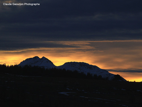
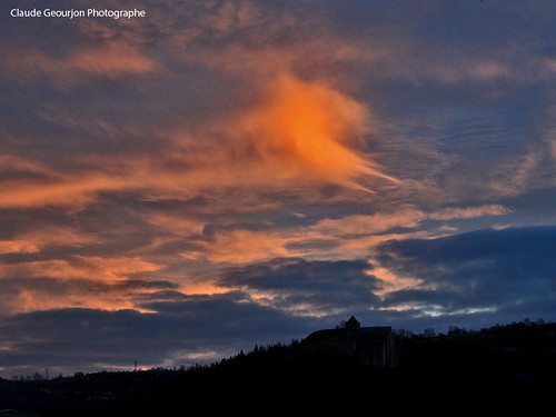
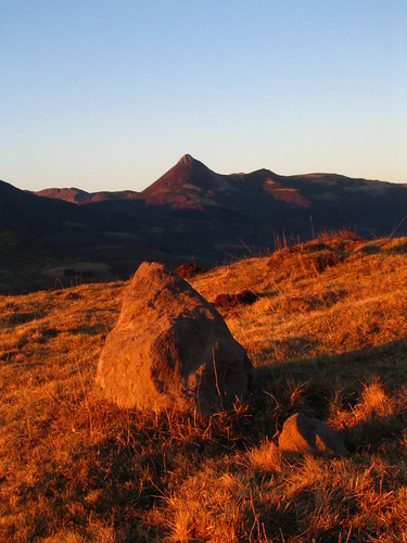
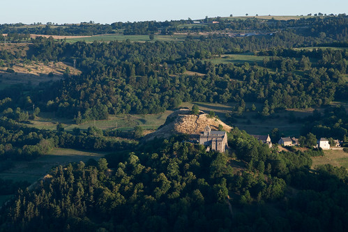
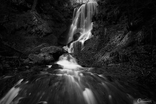
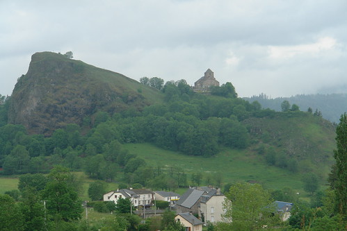
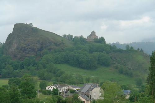
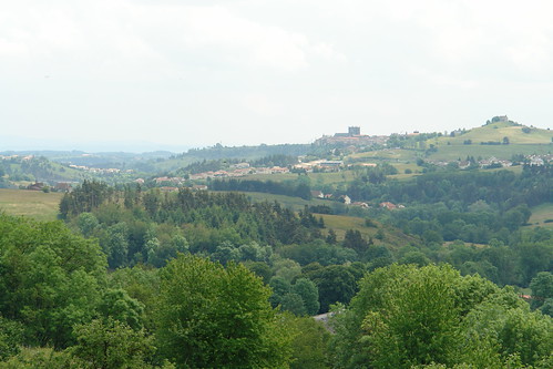
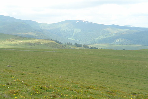
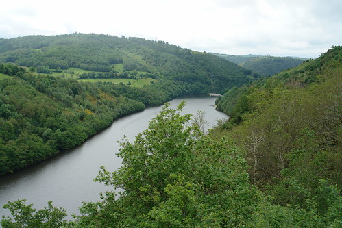
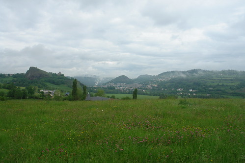
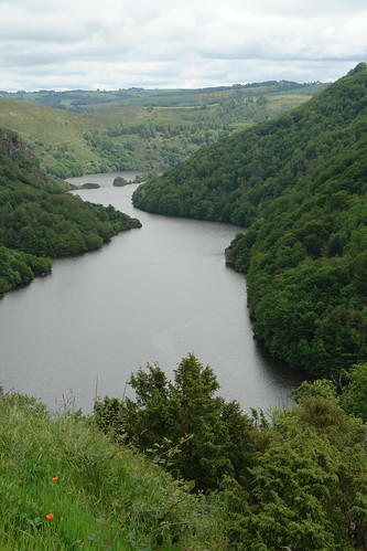
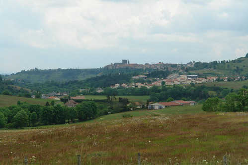
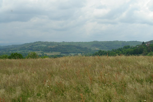
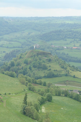
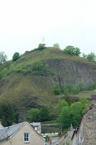
Fotos
Le Bourg, Paulhac, Frankreich Karte
Suchen Sie einen anderen Ort
Nahe Plätze
Paulhac, Frankreich
15 Le Meynial, Laveissière, Frankreich
Montchamp, Frankreich
Le Bourg, Saint-Poncy, Frankreich
Saint-Poncy, Frankreich
Cézallier, Anzat-le-Luguet, Frankreich
Anzat-le-Luguet, Frankreich
Blassac, Frankreich
Puy de Sancy, Mont-Dore, Frankreich
Creste, Frankreich
Chambon-sur-Lac, Frankreich
Murol, Frankreich
Chateau De Murol, La Rivière, Murol, Frankreich
Prady, Creste, Frankreich
Saint-Nectaire, Frankreich
Sailles, Saint-Nectaire, Frankreich
Couteuges, Frankreich
Chanteuges, Frankreich
1 Calade du Valla, Chanteuges, Frankreich
7 Rue de la Sardissere, Neschers, Frankreich
Letzte Suche
- Red Dog Mine, AK, USA Sonnenaufgang Sonnenuntergang Zeiten
- Am Bahnhof, Am bhf, Borken, Germany Sonnenaufgang Sonnenuntergang Zeiten
- 4th St E, Sonoma, CA, USA Sonnenaufgang Sonnenuntergang Zeiten
- Oakland Ave, Williamsport, PA, USA Sonnenaufgang Sonnenuntergang Zeiten
- Via Roma, Pieranica CR, Italien Sonnenaufgang Sonnenuntergang Zeiten
- Glockenturm, Grad, Dubrovnik, Kroatien Sonnenaufgang Sonnenuntergang Zeiten
- Trelew, Chubut Province, Argentina Sonnenaufgang Sonnenuntergang Zeiten
- Hartfords Bluff Cir, Mt Pleasant, SC, USA Sonnenaufgang Sonnenuntergang Zeiten
- Kita-ku, Kumamoto, Präfektur Kumamoto, Japan Sonnenaufgang Sonnenuntergang Zeiten
- Pingtan Island, Pingtan County, Fuzhou, China Sonnenaufgang Sonnenuntergang Zeiten
