| Zeitzone: | Nordamerikanische Zentral-Normalzeit |
|---|---|
| Ortszeit: | Sonntag, 15. November 2026 18:36 |
| Länge: | -84.853833 |
| Breite: | 36.383108 |
| Sonnenaufgang Heute: | 06:18:01 |
| Sonnenuntergang Heute: | 16:32:49 |
| Tageslänge heute: | 10h 14m 48s |
| Sonnenaufgang morgen: | 06:19:03 |
| Sonnenuntergang Morgen: | 16:32:10 |
| Tageslänge von morgen: | 10h 13m 6s |
: Alle Termine anzeigen
| Datum | Sonnenaufgang | Sonnenuntergang | Tageslänge |
|---|---|---|---|
| 1. Jan. 2026 | 06:52:06 | 16:35:13 | 9h 43m 6s |
| 1. Feb. 2026 | 06:42:54 | 17:05:17 | 10h 22m 23s |
| 1. März 2026 | 06:12:48 | 17:34:04 | 11h 21m 15s |
| 1. Apr. 2026 | 06:28:12 | 19:01:15 | 12h 33m 3s |
| 1. Mai 2026 | 05:48:33 | 19:27:05 | 13h 38m 32s |
| 1. Juni 2026 | 05:24:52 | 19:52:15 | 14h 27m 23s |
| 1. Juli 2026 | 05:25:57 | 20:02:30 | 14h 36m 32s |
| 1. Aug. 2026 | 05:46:16 | 19:47:45 | 14h 1m 28s |
| 1. Sep. 2026 | 06:11:25 | 19:11:07 | 12h 59m 41s |
| 1. Okt. 2026 | 06:34:50 | 18:26:27 | 11h 51m 36s |
| 1. Nov. 2026 | 07:02:40 | 17:45:50 | 10h 43m 9s |
| 16. Nov. 2026 | 06:18:01 | 16:32:49 | 10h 14m 48s |
| 17. Nov. 2026 | 06:19:03 | 16:32:10 | 10h 13m 6s |
| 1. Dez. 2026 | 06:32:58 | 16:26:11 | 9h 53m 12s |
Fotos von Sonnenaufgang und Sonnenuntergang
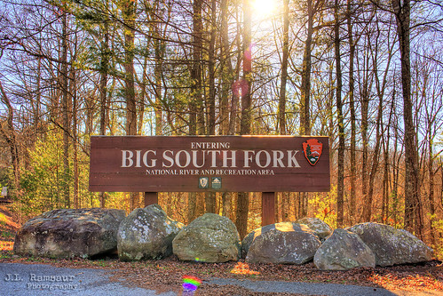
Big South Fork National River and Recreation Area sign - Tennessee & Kentucky by J.L. Ramsaur Photography
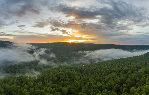
Obey River Gorge, Fentress County, Tennessee 7 by Chuck Sutherland
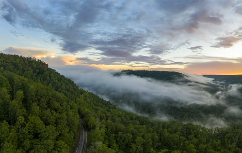
Obey River Gorge, Fentress County, Tennessee 6 by Chuck Sutherland

Longest night of the year; Goodbye sun by Don Ski

She calls by Don Ski

Burnt Mill Bridge, Big South Fork NRRA, Scott County, Tennessee by Chuck Sutherland

Sunset Overlook by mikerhicks
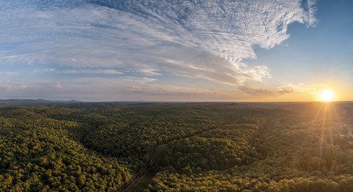
White Oak Creek, Morgan County, Tennessee 1 by Chuck Sutherland

IMG_9268 by manofhg

nhm-bsf-fall-campout-2017-10-01 18.50.26 by kelstew