HP Hawkdun Range, Otago, Neuseeland Sonnenaufgang Sonnenuntergang Zeiten
Location: Neuseeland > Otago > Waitaki-Distrikt > Otematata >
Zeitzone:
Pacific/Auckland
Ortszeit:
2025-07-04 21:55:53
Länge:
169.9708333
Breite:
-44.7425
Sonnenaufgang Heute:
08:17:38 AM
Sonnenuntergang Heute:
05:11:29 PM
Tageslänge heute:
8h 53m 51s
Sonnenaufgang morgen:
08:17:21 AM
Sonnenuntergang Morgen:
05:12:07 PM
Tageslänge von morgen:
8h 54m 46s
Alle Termine anzeigen
| Datum | Sonnenaufgang | Sonnenuntergang | Tageslänge |
|---|---|---|---|
| 2025-01-01 | 05:58:16 AM | 09:28:50 PM | 15h 30m 34s |
| 2025-01-02 | 05:59:11 AM | 09:28:51 PM | 15h 29m 40s |
| 2025-01-03 | 06:00:09 AM | 09:28:49 PM | 15h 28m 40s |
| 2025-01-04 | 06:01:08 AM | 09:28:45 PM | 15h 27m 37s |
| 2025-01-05 | 06:02:09 AM | 09:28:38 PM | 15h 26m 29s |
| 2025-01-06 | 06:03:12 AM | 09:28:28 PM | 15h 25m 16s |
| 2025-01-07 | 06:04:17 AM | 09:28:16 PM | 15h 23m 59s |
| 2025-01-08 | 06:05:23 AM | 09:28:01 PM | 15h 22m 38s |
| 2025-01-09 | 06:06:31 AM | 09:27:43 PM | 15h 21m 12s |
| 2025-01-10 | 06:07:40 AM | 09:27:23 PM | 15h 19m 43s |
| 2025-01-11 | 06:08:51 AM | 09:27:00 PM | 15h 18m 9s |
| 2025-01-12 | 06:10:04 AM | 09:26:34 PM | 15h 16m 30s |
| 2025-01-13 | 06:11:17 AM | 09:26:06 PM | 15h 14m 49s |
| 2025-01-14 | 06:12:32 AM | 09:25:36 PM | 15h 13m 4s |
| 2025-01-15 | 06:13:48 AM | 09:25:03 PM | 15h 11m 15s |
| 2025-01-16 | 06:15:05 AM | 09:24:27 PM | 15h 9m 22s |
| 2025-01-17 | 06:16:24 AM | 09:23:49 PM | 15h 7m 25s |
| 2025-01-18 | 06:17:43 AM | 09:23:09 PM | 15h 5m 26s |
| 2025-01-19 | 06:19:03 AM | 09:22:26 PM | 15h 3m 23s |
| 2025-01-20 | 06:20:24 AM | 09:21:41 PM | 15h 1m 17s |
| 2025-01-21 | 06:21:46 AM | 09:20:54 PM | 14h 59m 8s |
| 2025-01-22 | 06:23:08 AM | 09:20:04 PM | 14h 56m 56s |
| 2025-01-23 | 06:24:32 AM | 09:19:13 PM | 14h 54m 41s |
| 2025-01-24 | 06:25:55 AM | 09:18:19 PM | 14h 52m 24s |
| 2025-01-25 | 06:27:20 AM | 09:17:22 PM | 14h 50m 2s |
| 2025-01-26 | 06:28:45 AM | 09:16:24 PM | 14h 47m 39s |
| 2025-01-27 | 06:30:10 AM | 09:15:24 PM | 14h 45m 14s |
| 2025-01-28 | 06:31:36 AM | 09:14:22 PM | 14h 42m 46s |
| 2025-01-29 | 06:33:02 AM | 09:13:18 PM | 14h 40m 16s |
| 2025-01-30 | 06:34:28 AM | 09:12:11 PM | 14h 37m 43s |
| 2025-01-31 | 06:35:55 AM | 09:11:03 PM | 14h 35m 8s |
| 2025-02-01 | 06:37:22 AM | 09:09:53 PM | 14h 32m 31s |
| 2025-02-02 | 06:38:49 AM | 09:08:42 PM | 14h 29m 53s |
| 2025-02-03 | 06:40:16 AM | 09:07:28 PM | 14h 27m 12s |
| 2025-02-04 | 06:41:44 AM | 09:06:13 PM | 14h 24m 29s |
| 2025-02-05 | 06:43:11 AM | 09:04:56 PM | 14h 21m 45s |
| 2025-02-06 | 06:44:38 AM | 09:03:38 PM | 14h 19m 0s |
| 2025-02-07 | 06:46:06 AM | 09:02:18 PM | 14h 16m 12s |
| 2025-02-08 | 06:47:33 AM | 09:00:56 PM | 14h 13m 23s |
| 2025-02-09 | 06:49:00 AM | 08:59:33 PM | 14h 10m 33s |
| 2025-02-10 | 06:50:27 AM | 08:58:09 PM | 14h 7m 42s |
| 2025-02-11 | 06:51:54 AM | 08:56:43 PM | 14h 4m 49s |
| 2025-02-12 | 06:53:21 AM | 08:55:15 PM | 14h 1m 54s |
| 2025-02-13 | 06:54:48 AM | 08:53:47 PM | 13h 58m 59s |
| 2025-02-14 | 06:56:14 AM | 08:52:17 PM | 13h 56m 3s |
| 2025-02-15 | 06:57:40 AM | 08:50:45 PM | 13h 53m 5s |
| 2025-02-16 | 06:59:06 AM | 08:49:13 PM | 13h 50m 7s |
| 2025-02-17 | 07:00:32 AM | 08:47:39 PM | 13h 47m 7s |
| 2025-02-18 | 07:01:57 AM | 08:46:05 PM | 13h 44m 8s |
| 2025-02-19 | 07:03:22 AM | 08:44:29 PM | 13h 41m 7s |
| 2025-02-20 | 07:04:47 AM | 08:42:52 PM | 13h 38m 5s |
| 2025-02-21 | 07:06:12 AM | 08:41:14 PM | 13h 35m 2s |
| 2025-02-22 | 07:07:36 AM | 08:39:35 PM | 13h 31m 59s |
| 2025-02-23 | 07:09:00 AM | 08:37:55 PM | 13h 28m 55s |
| 2025-02-24 | 07:10:24 AM | 08:36:15 PM | 13h 25m 51s |
| 2025-02-25 | 07:11:47 AM | 08:34:33 PM | 13h 22m 46s |
| 2025-02-26 | 07:13:10 AM | 08:32:51 PM | 13h 19m 41s |
| 2025-02-27 | 07:14:33 AM | 08:31:08 PM | 13h 16m 35s |
| 2025-02-28 | 07:15:55 AM | 08:29:24 PM | 13h 13m 29s |
| 2025-03-01 | 07:17:17 AM | 08:27:39 PM | 13h 10m 22s |
| 2025-03-02 | 07:18:39 AM | 08:25:54 PM | 13h 7m 15s |
| 2025-03-03 | 07:20:00 AM | 08:24:08 PM | 13h 4m 8s |
| 2025-03-04 | 07:21:21 AM | 08:22:22 PM | 13h 1m 1s |
| 2025-03-05 | 07:22:41 AM | 08:20:34 PM | 12h 57m 53s |
| 2025-03-06 | 07:24:02 AM | 08:18:47 PM | 12h 54m 45s |
| 2025-03-07 | 07:25:22 AM | 08:16:59 PM | 12h 51m 37s |
| 2025-03-08 | 07:26:41 AM | 08:15:10 PM | 12h 48m 29s |
| 2025-03-09 | 07:28:01 AM | 08:13:21 PM | 12h 45m 20s |
| 2025-03-10 | 07:29:20 AM | 08:11:32 PM | 12h 42m 12s |
| 2025-03-11 | 07:30:39 AM | 08:09:42 PM | 12h 39m 3s |
| 2025-03-12 | 07:31:57 AM | 08:07:52 PM | 12h 35m 55s |
| 2025-03-13 | 07:33:15 AM | 08:06:01 PM | 12h 32m 46s |
| 2025-03-14 | 07:34:33 AM | 08:04:10 PM | 12h 29m 37s |
| 2025-03-15 | 07:35:51 AM | 08:02:19 PM | 12h 26m 28s |
| 2025-03-16 | 07:37:08 AM | 08:00:28 PM | 12h 23m 20s |
| 2025-03-17 | 07:38:25 AM | 07:58:37 PM | 12h 20m 12s |
| 2025-03-18 | 07:39:42 AM | 07:56:45 PM | 12h 17m 3s |
| 2025-03-19 | 07:40:59 AM | 07:54:54 PM | 12h 13m 55s |
| 2025-03-20 | 07:42:16 AM | 07:53:02 PM | 12h 10m 46s |
| 2025-03-21 | 07:43:32 AM | 07:51:10 PM | 12h 7m 38s |
| 2025-03-22 | 07:44:48 AM | 07:49:18 PM | 12h 4m 30s |
| 2025-03-23 | 07:46:04 AM | 07:47:26 PM | 12h 1m 22s |
| 2025-03-24 | 07:47:20 AM | 07:45:35 PM | 11h 58m 15s |
| 2025-03-25 | 07:48:35 AM | 07:43:43 PM | 11h 55m 8s |
| 2025-03-26 | 07:49:51 AM | 07:41:51 PM | 11h 52m 0s |
| 2025-03-27 | 07:51:06 AM | 07:40:00 PM | 11h 48m 54s |
| 2025-03-28 | 07:52:21 AM | 07:38:08 PM | 11h 45m 47s |
| 2025-03-29 | 07:53:36 AM | 07:36:17 PM | 11h 42m 41s |
| 2025-03-30 | 07:54:51 AM | 07:34:26 PM | 11h 39m 35s |
| 2025-03-31 | 07:56:05 AM | 07:32:36 PM | 11h 36m 31s |
| 2025-04-01 | 07:57:20 AM | 07:30:45 PM | 11h 33m 25s |
| 2025-04-02 | 07:58:35 AM | 07:28:55 PM | 11h 30m 20s |
| 2025-04-03 | 07:59:49 AM | 07:27:06 PM | 11h 27m 17s |
| 2025-04-04 | 08:01:04 AM | 07:25:16 PM | 11h 24m 12s |
| 2025-04-05 | 08:02:18 AM | 07:23:27 PM | 11h 21m 9s |
| 2025-04-06 | 07:03:35 AM | 06:21:34 PM | 11h 17m 59s |
| 2025-04-06 | 07:03:35 AM | 06:21:34 PM | 11h 17m 59s |
| 2025-04-07 | 07:04:49 AM | 06:19:46 PM | 11h 14m 57s |
| 2025-04-08 | 07:06:03 AM | 06:17:59 PM | 11h 11m 56s |
| 2025-04-09 | 07:07:17 AM | 06:16:12 PM | 11h 8m 55s |
| 2025-04-10 | 07:08:31 AM | 06:14:26 PM | 11h 5m 55s |
| 2025-04-11 | 07:09:45 AM | 06:12:40 PM | 11h 2m 55s |
| 2025-04-12 | 07:10:59 AM | 06:10:55 PM | 10h 59m 56s |
| 2025-04-13 | 07:12:13 AM | 06:09:10 PM | 10h 56m 57s |
| 2025-04-14 | 07:13:27 AM | 06:07:26 PM | 10h 53m 59s |
| 2025-04-15 | 07:14:41 AM | 06:05:43 PM | 10h 51m 2s |
| 2025-04-16 | 07:15:54 AM | 06:04:01 PM | 10h 48m 7s |
| 2025-04-17 | 07:17:08 AM | 06:02:19 PM | 10h 45m 11s |
| 2025-04-18 | 07:18:22 AM | 06:00:39 PM | 10h 42m 17s |
| 2025-04-19 | 07:19:35 AM | 05:58:59 PM | 10h 39m 24s |
| 2025-04-20 | 07:20:49 AM | 05:57:20 PM | 10h 36m 31s |
| 2025-04-21 | 07:22:02 AM | 05:55:42 PM | 10h 33m 40s |
| 2025-04-22 | 07:23:15 AM | 05:54:05 PM | 10h 30m 50s |
| 2025-04-23 | 07:24:28 AM | 05:52:29 PM | 10h 28m 1s |
| 2025-04-24 | 07:25:42 AM | 05:50:53 PM | 10h 25m 11s |
| 2025-04-25 | 07:26:55 AM | 05:49:19 PM | 10h 22m 24s |
| 2025-04-26 | 07:28:07 AM | 05:47:46 PM | 10h 19m 39s |
| 2025-04-27 | 07:29:20 AM | 05:46:15 PM | 10h 16m 55s |
| 2025-04-28 | 07:30:33 AM | 05:44:44 PM | 10h 14m 11s |
| 2025-04-29 | 07:31:45 AM | 05:43:14 PM | 10h 11m 29s |
| 2025-04-30 | 07:32:57 AM | 05:41:46 PM | 10h 8m 49s |
| 2025-05-01 | 07:34:10 AM | 05:40:19 PM | 10h 6m 9s |
| 2025-05-02 | 07:35:21 AM | 05:38:54 PM | 10h 3m 33s |
| 2025-05-03 | 07:36:33 AM | 05:37:29 PM | 10h 0m 56s |
| 2025-05-04 | 07:37:44 AM | 05:36:06 PM | 9h 58m 22s |
| 2025-05-05 | 07:38:55 AM | 05:34:45 PM | 9h 55m 50s |
| 2025-05-06 | 07:40:06 AM | 05:33:24 PM | 9h 53m 18s |
| 2025-05-07 | 07:41:16 AM | 05:32:06 PM | 9h 50m 50s |
| 2025-05-08 | 07:42:26 AM | 05:30:48 PM | 9h 48m 22s |
| 2025-05-09 | 07:43:36 AM | 05:29:33 PM | 9h 45m 57s |
| 2025-05-10 | 07:44:45 AM | 05:28:19 PM | 9h 43m 34s |
| 2025-05-11 | 07:45:54 AM | 05:27:06 PM | 9h 41m 12s |
| 2025-05-12 | 07:47:02 AM | 05:25:55 PM | 9h 38m 53s |
| 2025-05-13 | 07:48:10 AM | 05:24:46 PM | 9h 36m 36s |
| 2025-05-14 | 07:49:17 AM | 05:23:39 PM | 9h 34m 22s |
| 2025-05-15 | 07:50:24 AM | 05:22:33 PM | 9h 32m 9s |
| 2025-05-16 | 07:51:30 AM | 05:21:29 PM | 9h 29m 59s |
| 2025-05-17 | 07:52:35 AM | 05:20:27 PM | 9h 27m 52s |
| 2025-05-18 | 07:53:40 AM | 05:19:26 PM | 9h 25m 46s |
| 2025-05-19 | 07:54:43 AM | 05:18:28 PM | 9h 23m 45s |
| 2025-05-20 | 07:55:46 AM | 05:17:31 PM | 9h 21m 45s |
| 2025-05-21 | 07:56:49 AM | 05:16:36 PM | 9h 19m 47s |
| 2025-05-22 | 07:57:50 AM | 05:15:43 PM | 9h 17m 53s |
| 2025-05-23 | 07:58:50 AM | 05:14:53 PM | 9h 16m 3s |
| 2025-05-24 | 07:59:50 AM | 05:14:04 PM | 9h 14m 14s |
| 2025-05-25 | 08:00:48 AM | 05:13:17 PM | 9h 12m 29s |
| 2025-05-26 | 08:01:46 AM | 05:12:32 PM | 9h 10m 46s |
| 2025-05-27 | 08:02:42 AM | 05:11:49 PM | 9h 9m 7s |
| 2025-05-28 | 08:03:37 AM | 05:11:09 PM | 9h 7m 32s |
| 2025-05-29 | 08:04:31 AM | 05:10:30 PM | 9h 5m 59s |
| 2025-05-30 | 08:05:23 AM | 05:09:54 PM | 9h 4m 31s |
| 2025-05-31 | 08:06:15 AM | 05:09:20 PM | 9h 3m 5s |
| 2025-06-01 | 08:07:05 AM | 05:08:48 PM | 9h 1m 43s |
| 2025-06-02 | 08:07:54 AM | 05:08:18 PM | 9h 0m 24s |
| 2025-06-03 | 08:08:41 AM | 05:07:50 PM | 8h 59m 9s |
| 2025-06-04 | 08:09:26 AM | 05:07:25 PM | 8h 57m 59s |
| 2025-06-05 | 08:10:11 AM | 05:07:01 PM | 8h 56m 50s |
| 2025-06-06 | 08:10:53 AM | 05:06:40 PM | 8h 55m 47s |
| 2025-06-07 | 08:11:34 AM | 05:06:21 PM | 8h 54m 47s |
| 2025-06-08 | 08:12:14 AM | 05:06:05 PM | 8h 53m 51s |
| 2025-06-09 | 08:12:51 AM | 05:05:50 PM | 8h 52m 59s |
| 2025-06-10 | 08:13:27 AM | 05:05:38 PM | 8h 52m 11s |
| 2025-06-11 | 08:14:01 AM | 05:05:28 PM | 8h 51m 27s |
| 2025-06-12 | 08:14:34 AM | 05:05:20 PM | 8h 50m 46s |
| 2025-06-13 | 08:15:04 AM | 05:05:15 PM | 8h 50m 11s |
| 2025-06-14 | 08:15:33 AM | 05:05:12 PM | 8h 49m 39s |
| 2025-06-15 | 08:15:59 AM | 05:05:11 PM | 8h 49m 12s |
| 2025-06-16 | 08:16:24 AM | 05:05:12 PM | 8h 48m 48s |
| 2025-06-17 | 08:16:47 AM | 05:05:15 PM | 8h 48m 28s |
| 2025-06-18 | 08:17:07 AM | 05:05:21 PM | 8h 48m 14s |
| 2025-06-19 | 08:17:26 AM | 05:05:28 PM | 8h 48m 2s |
| 2025-06-20 | 08:17:42 AM | 05:05:38 PM | 8h 47m 56s |
| 2025-06-21 | 08:17:56 AM | 05:05:50 PM | 8h 47m 54s |
| 2025-06-22 | 08:18:09 AM | 05:06:04 PM | 8h 47m 55s |
| 2025-06-23 | 08:18:19 AM | 05:06:20 PM | 8h 48m 1s |
| 2025-06-24 | 08:18:26 AM | 05:06:38 PM | 8h 48m 12s |
| 2025-06-25 | 08:18:32 AM | 05:06:58 PM | 8h 48m 26s |
| 2025-06-26 | 08:18:35 AM | 05:07:20 PM | 8h 48m 45s |
| 2025-06-27 | 08:18:36 AM | 05:07:44 PM | 8h 49m 8s |
| 2025-06-28 | 08:18:35 AM | 05:08:10 PM | 8h 49m 35s |
| 2025-06-29 | 08:18:32 AM | 05:08:37 PM | 8h 50m 5s |
| 2025-06-30 | 08:18:26 AM | 05:09:07 PM | 8h 50m 41s |
| 2025-07-01 | 08:18:18 AM | 05:09:38 PM | 8h 51m 20s |
| 2025-07-02 | 08:18:08 AM | 05:10:11 PM | 8h 52m 3s |
| 2025-07-03 | 08:17:56 AM | 05:10:46 PM | 8h 52m 50s |
| 2025-07-04 | 08:17:41 AM | 05:11:22 PM | 8h 53m 41s |
| 2025-07-05 | 08:17:24 AM | 05:12:01 PM | 8h 54m 37s |
| 2025-07-06 | 08:17:05 AM | 05:12:40 PM | 8h 55m 35s |
| 2025-07-07 | 08:16:43 AM | 05:13:22 PM | 8h 56m 39s |
| 2025-07-08 | 08:16:20 AM | 05:14:04 PM | 8h 57m 44s |
| 2025-07-09 | 08:15:54 AM | 05:14:48 PM | 8h 58m 54s |
| 2025-07-10 | 08:15:25 AM | 05:15:34 PM | 9h 0m 9s |
| 2025-07-11 | 08:14:55 AM | 05:16:21 PM | 9h 1m 26s |
| 2025-07-12 | 08:14:22 AM | 05:17:09 PM | 9h 2m 47s |
| 2025-07-13 | 08:13:47 AM | 05:17:59 PM | 9h 4m 12s |
| 2025-07-14 | 08:13:10 AM | 05:18:49 PM | 9h 5m 39s |
| 2025-07-15 | 08:12:31 AM | 05:19:41 PM | 9h 7m 10s |
| 2025-07-16 | 08:11:50 AM | 05:20:34 PM | 9h 8m 44s |
| 2025-07-17 | 08:11:06 AM | 05:21:28 PM | 9h 10m 22s |
| 2025-07-18 | 08:10:21 AM | 05:22:24 PM | 9h 12m 3s |
| 2025-07-19 | 08:09:33 AM | 05:23:20 PM | 9h 13m 47s |
| 2025-07-20 | 08:08:43 AM | 05:24:17 PM | 9h 15m 34s |
| 2025-07-21 | 08:07:52 AM | 05:25:15 PM | 9h 17m 23s |
| 2025-07-22 | 08:06:58 AM | 05:26:14 PM | 9h 19m 16s |
| 2025-07-23 | 08:06:02 AM | 05:27:13 PM | 9h 21m 11s |
| 2025-07-24 | 08:05:05 AM | 05:28:14 PM | 9h 23m 9s |
| 2025-07-25 | 08:04:05 AM | 05:29:15 PM | 9h 25m 10s |
| 2025-07-26 | 08:03:04 AM | 05:30:16 PM | 9h 27m 12s |
| 2025-07-27 | 08:02:01 AM | 05:31:19 PM | 9h 29m 18s |
| 2025-07-28 | 08:00:56 AM | 05:32:22 PM | 9h 31m 26s |
| 2025-07-29 | 07:59:49 AM | 05:33:26 PM | 9h 33m 37s |
| 2025-07-30 | 07:58:41 AM | 05:34:30 PM | 9h 35m 49s |
| 2025-07-31 | 07:57:30 AM | 05:35:34 PM | 9h 38m 4s |
| 2025-08-01 | 07:56:19 AM | 05:36:39 PM | 9h 40m 20s |
| 2025-08-02 | 07:55:05 AM | 05:37:45 PM | 9h 42m 40s |
| 2025-08-03 | 07:53:50 AM | 05:38:51 PM | 9h 45m 1s |
| 2025-08-04 | 07:52:33 AM | 05:39:57 PM | 9h 47m 24s |
| 2025-08-05 | 07:51:15 AM | 05:41:04 PM | 9h 49m 49s |
| 2025-08-06 | 07:49:55 AM | 05:42:11 PM | 9h 52m 16s |
| 2025-08-07 | 07:48:34 AM | 05:43:18 PM | 9h 54m 44s |
| 2025-08-08 | 07:47:11 AM | 05:44:26 PM | 9h 57m 15s |
| 2025-08-09 | 07:45:47 AM | 05:45:33 PM | 9h 59m 46s |
| 2025-08-10 | 07:44:22 AM | 05:46:41 PM | 10h 2m 19s |
| 2025-08-11 | 07:42:55 AM | 05:47:49 PM | 10h 4m 54s |
| 2025-08-12 | 07:41:27 AM | 05:48:58 PM | 10h 7m 31s |
| 2025-08-13 | 07:39:57 AM | 05:50:06 PM | 10h 10m 9s |
| 2025-08-14 | 07:38:26 AM | 05:51:15 PM | 10h 12m 49s |
| 2025-08-15 | 07:36:55 AM | 05:52:24 PM | 10h 15m 29s |
| 2025-08-16 | 07:35:22 AM | 05:53:32 PM | 10h 18m 10s |
| 2025-08-17 | 07:33:47 AM | 05:54:41 PM | 10h 20m 54s |
| 2025-08-18 | 07:32:12 AM | 05:55:50 PM | 10h 23m 38s |
| 2025-08-19 | 07:30:36 AM | 05:57:00 PM | 10h 26m 24s |
| 2025-08-20 | 07:28:59 AM | 05:58:09 PM | 10h 29m 10s |
| 2025-08-21 | 07:27:20 AM | 05:59:18 PM | 10h 31m 58s |
| 2025-08-22 | 07:25:41 AM | 06:00:27 PM | 10h 34m 46s |
| 2025-08-23 | 07:24:01 AM | 06:01:36 PM | 10h 37m 35s |
| 2025-08-24 | 07:22:19 AM | 06:02:46 PM | 10h 40m 27s |
| 2025-08-25 | 07:20:37 AM | 06:03:55 PM | 10h 43m 18s |
| 2025-08-26 | 07:18:55 AM | 06:05:04 PM | 10h 46m 9s |
| 2025-08-27 | 07:17:11 AM | 06:06:14 PM | 10h 49m 3s |
| 2025-08-28 | 07:15:26 AM | 06:07:23 PM | 10h 51m 57s |
| 2025-08-29 | 07:13:41 AM | 06:08:32 PM | 10h 54m 51s |
| 2025-08-30 | 07:11:55 AM | 06:09:42 PM | 10h 57m 47s |
| 2025-08-31 | 07:10:09 AM | 06:10:51 PM | 11h 0m 42s |
| 2025-09-01 | 07:08:22 AM | 06:12:01 PM | 11h 3m 39s |
| 2025-09-02 | 07:06:34 AM | 06:13:10 PM | 11h 6m 36s |
| 2025-09-03 | 07:04:45 AM | 06:14:20 PM | 11h 9m 35s |
| 2025-09-04 | 07:02:56 AM | 06:15:29 PM | 11h 12m 33s |
| 2025-09-05 | 07:01:07 AM | 06:16:39 PM | 11h 15m 32s |
| 2025-09-06 | 06:59:17 AM | 06:17:48 PM | 11h 18m 31s |
| 2025-09-07 | 06:57:26 AM | 06:18:58 PM | 11h 21m 32s |
| 2025-09-08 | 06:55:36 AM | 06:20:08 PM | 11h 24m 32s |
| 2025-09-09 | 06:53:44 AM | 06:21:17 PM | 11h 27m 33s |
| 2025-09-10 | 06:51:53 AM | 06:22:27 PM | 11h 30m 34s |
| 2025-09-11 | 06:50:01 AM | 06:23:37 PM | 11h 33m 36s |
| 2025-09-12 | 06:48:08 AM | 06:24:47 PM | 11h 36m 39s |
| 2025-09-13 | 06:46:16 AM | 06:25:57 PM | 11h 39m 41s |
| 2025-09-14 | 06:44:23 AM | 06:27:07 PM | 11h 42m 44s |
| 2025-09-15 | 06:42:30 AM | 06:28:17 PM | 11h 45m 47s |
| 2025-09-16 | 06:40:37 AM | 06:29:28 PM | 11h 48m 51s |
| 2025-09-17 | 06:38:43 AM | 06:30:38 PM | 11h 51m 55s |
| 2025-09-18 | 06:36:50 AM | 06:31:49 PM | 11h 54m 59s |
| 2025-09-19 | 06:34:56 AM | 06:33:00 PM | 11h 58m 4s |
| 2025-09-20 | 06:33:03 AM | 06:34:10 PM | 12h 1m 7s |
| 2025-09-21 | 06:31:09 AM | 06:35:22 PM | 12h 4m 13s |
| 2025-09-22 | 06:29:15 AM | 06:36:33 PM | 12h 7m 18s |
| 2025-09-23 | 06:27:21 AM | 06:37:44 PM | 12h 10m 23s |
| 2025-09-24 | 06:25:28 AM | 06:38:56 PM | 12h 13m 28s |
| 2025-09-25 | 06:23:34 AM | 06:40:08 PM | 12h 16m 34s |
| 2025-09-26 | 06:21:41 AM | 06:41:20 PM | 12h 19m 39s |
| 2025-09-27 | 06:19:47 AM | 06:42:32 PM | 12h 22m 45s |
| 2025-09-29 | 07:16:06 AM | 07:44:55 PM | 12h 28m 49s |
| 2025-09-30 | 07:14:13 AM | 07:46:08 PM | 12h 31m 55s |
| 2025-10-01 | 07:12:21 AM | 07:47:21 PM | 12h 35m 0s |
| 2025-10-02 | 07:10:29 AM | 07:48:35 PM | 12h 38m 6s |
| 2025-10-03 | 07:08:37 AM | 07:49:49 PM | 12h 41m 12s |
| 2025-10-04 | 07:06:45 AM | 07:51:03 PM | 12h 44m 18s |
| 2025-10-05 | 07:04:54 AM | 07:52:17 PM | 12h 47m 23s |
| 2025-10-06 | 07:03:03 AM | 07:53:32 PM | 12h 50m 29s |
| 2025-10-07 | 07:01:13 AM | 07:54:47 PM | 12h 53m 34s |
| 2025-10-08 | 06:59:23 AM | 07:56:03 PM | 12h 56m 40s |
| 2025-10-09 | 06:57:34 AM | 07:57:19 PM | 12h 59m 45s |
| 2025-10-10 | 06:55:46 AM | 07:58:35 PM | 13h 2m 49s |
| 2025-10-11 | 06:53:57 AM | 07:59:51 PM | 13h 5m 54s |
| 2025-10-12 | 06:52:10 AM | 08:01:08 PM | 13h 8m 58s |
| 2025-10-13 | 06:50:23 AM | 08:02:26 PM | 13h 12m 3s |
| 2025-10-14 | 06:48:37 AM | 08:03:43 PM | 13h 15m 6s |
| 2025-10-15 | 06:46:52 AM | 08:05:01 PM | 13h 18m 9s |
| 2025-10-16 | 06:45:07 AM | 08:06:19 PM | 13h 21m 12s |
| 2025-10-17 | 06:43:23 AM | 08:07:38 PM | 13h 24m 15s |
| 2025-10-18 | 06:41:40 AM | 08:08:57 PM | 13h 27m 17s |
| 2025-10-19 | 06:39:58 AM | 08:10:16 PM | 13h 30m 18s |
| 2025-10-20 | 06:38:17 AM | 08:11:36 PM | 13h 33m 19s |
| 2025-10-21 | 06:36:37 AM | 08:12:56 PM | 13h 36m 19s |
| 2025-10-22 | 06:34:57 AM | 08:14:17 PM | 13h 39m 20s |
| 2025-10-23 | 06:33:19 AM | 08:15:37 PM | 13h 42m 18s |
| 2025-10-24 | 06:31:42 AM | 08:16:58 PM | 13h 45m 16s |
| 2025-10-25 | 06:30:06 AM | 08:18:20 PM | 13h 48m 14s |
| 2025-10-26 | 06:28:31 AM | 08:19:41 PM | 13h 51m 10s |
| 2025-10-27 | 06:26:57 AM | 08:21:03 PM | 13h 54m 6s |
| 2025-10-28 | 06:25:24 AM | 08:22:26 PM | 13h 57m 2s |
| 2025-10-29 | 06:23:53 AM | 08:23:48 PM | 13h 59m 55s |
| 2025-10-30 | 06:22:23 AM | 08:25:11 PM | 14h 2m 48s |
| 2025-10-31 | 06:20:54 AM | 08:26:34 PM | 14h 5m 40s |
| 2025-11-01 | 06:19:27 AM | 08:27:57 PM | 14h 8m 30s |
| 2025-11-02 | 06:18:01 AM | 08:29:20 PM | 14h 11m 19s |
| 2025-11-03 | 06:16:36 AM | 08:30:44 PM | 14h 14m 8s |
| 2025-11-04 | 06:15:13 AM | 08:32:07 PM | 14h 16m 54s |
| 2025-11-05 | 06:13:52 AM | 08:33:31 PM | 14h 19m 39s |
| 2025-11-06 | 06:12:32 AM | 08:34:55 PM | 14h 22m 23s |
| 2025-11-07 | 06:11:14 AM | 08:36:19 PM | 14h 25m 5s |
| 2025-11-08 | 06:09:57 AM | 08:37:42 PM | 14h 27m 45s |
| 2025-11-09 | 06:08:42 AM | 08:39:06 PM | 14h 30m 24s |
| 2025-11-10 | 06:07:29 AM | 08:40:30 PM | 14h 33m 1s |
| 2025-11-11 | 06:06:18 AM | 08:41:54 PM | 14h 35m 36s |
| 2025-11-12 | 06:05:09 AM | 08:43:17 PM | 14h 38m 8s |
| 2025-11-13 | 06:04:01 AM | 08:44:40 PM | 14h 40m 39s |
| 2025-11-14 | 06:02:56 AM | 08:46:03 PM | 14h 43m 7s |
| 2025-11-15 | 06:01:52 AM | 08:47:26 PM | 14h 45m 34s |
| 2025-11-16 | 06:00:50 AM | 08:48:48 PM | 14h 47m 58s |
| 2025-11-17 | 05:59:51 AM | 08:50:10 PM | 14h 50m 19s |
| 2025-11-18 | 05:58:53 AM | 08:51:32 PM | 14h 52m 39s |
| 2025-11-19 | 05:57:58 AM | 08:52:53 PM | 14h 54m 55s |
| 2025-11-20 | 05:57:05 AM | 08:54:14 PM | 14h 57m 9s |
| 2025-11-21 | 05:56:14 AM | 08:55:34 PM | 14h 59m 20s |
| 2025-11-22 | 05:55:26 AM | 08:56:53 PM | 15h 1m 27s |
| 2025-11-23 | 05:54:39 AM | 08:58:12 PM | 15h 3m 33s |
| 2025-11-24 | 05:53:56 AM | 08:59:29 PM | 15h 5m 33s |
| 2025-11-25 | 05:53:14 AM | 09:00:46 PM | 15h 7m 32s |
| 2025-11-26 | 05:52:35 AM | 09:02:02 PM | 15h 9m 27s |
| 2025-11-27 | 05:51:58 AM | 09:03:17 PM | 15h 11m 19s |
| 2025-11-28 | 05:51:24 AM | 09:04:31 PM | 15h 13m 7s |
| 2025-11-29 | 05:50:52 AM | 09:05:44 PM | 15h 14m 52s |
| 2025-11-30 | 05:50:23 AM | 09:06:56 PM | 15h 16m 33s |
| 2025-12-01 | 05:49:57 AM | 09:08:07 PM | 15h 18m 10s |
| 2025-12-02 | 05:49:33 AM | 09:09:16 PM | 15h 19m 43s |
| 2025-12-03 | 05:49:11 AM | 09:10:24 PM | 15h 21m 13s |
| 2025-12-04 | 05:48:52 AM | 09:11:30 PM | 15h 22m 38s |
| 2025-12-05 | 05:48:36 AM | 09:12:35 PM | 15h 23m 59s |
| 2025-12-06 | 05:48:23 AM | 09:13:39 PM | 15h 25m 16s |
| 2025-12-07 | 05:48:12 AM | 09:14:40 PM | 15h 26m 28s |
| 2025-12-08 | 05:48:04 AM | 09:15:40 PM | 15h 27m 36s |
| 2025-12-09 | 05:47:59 AM | 09:16:39 PM | 15h 28m 40s |
| 2025-12-10 | 05:47:56 AM | 09:17:35 PM | 15h 29m 39s |
| 2025-12-11 | 05:47:56 AM | 09:18:30 PM | 15h 30m 34s |
| 2025-12-12 | 05:47:59 AM | 09:19:22 PM | 15h 31m 23s |
| 2025-12-13 | 05:48:05 AM | 09:20:13 PM | 15h 32m 8s |
| 2025-12-14 | 05:48:13 AM | 09:21:01 PM | 15h 32m 48s |
| 2025-12-15 | 05:48:24 AM | 09:21:48 PM | 15h 33m 24s |
| 2025-12-16 | 05:48:38 AM | 09:22:32 PM | 15h 33m 54s |
| 2025-12-17 | 05:48:54 AM | 09:23:14 PM | 15h 34m 20s |
| 2025-12-18 | 05:49:13 AM | 09:23:54 PM | 15h 34m 41s |
| 2025-12-19 | 05:49:35 AM | 09:24:31 PM | 15h 34m 56s |
| 2025-12-20 | 05:49:59 AM | 09:25:06 PM | 15h 35m 7s |
| 2025-12-21 | 05:50:26 AM | 09:25:39 PM | 15h 35m 13s |
| 2025-12-22 | 05:50:56 AM | 09:26:09 PM | 15h 35m 13s |
| 2025-12-23 | 05:51:28 AM | 09:26:37 PM | 15h 35m 9s |
| 2025-12-24 | 05:52:02 AM | 09:27:02 PM | 15h 35m 0s |
| 2025-12-25 | 05:52:39 AM | 09:27:24 PM | 15h 34m 45s |
| 2025-12-26 | 05:53:19 AM | 09:27:44 PM | 15h 34m 25s |
| 2025-12-27 | 05:54:00 AM | 09:28:02 PM | 15h 34m 2s |
| 2025-12-28 | 05:54:44 AM | 09:28:17 PM | 15h 33m 33s |
| 2025-12-29 | 05:55:31 AM | 09:28:29 PM | 15h 32m 58s |
| 2025-12-30 | 05:56:19 AM | 09:28:38 PM | 15h 32m 19s |
| 2025-12-31 | 05:57:10 AM | 09:28:45 PM | 15h 31m 35s |
Fotos

Central Otago: Manuherikia River
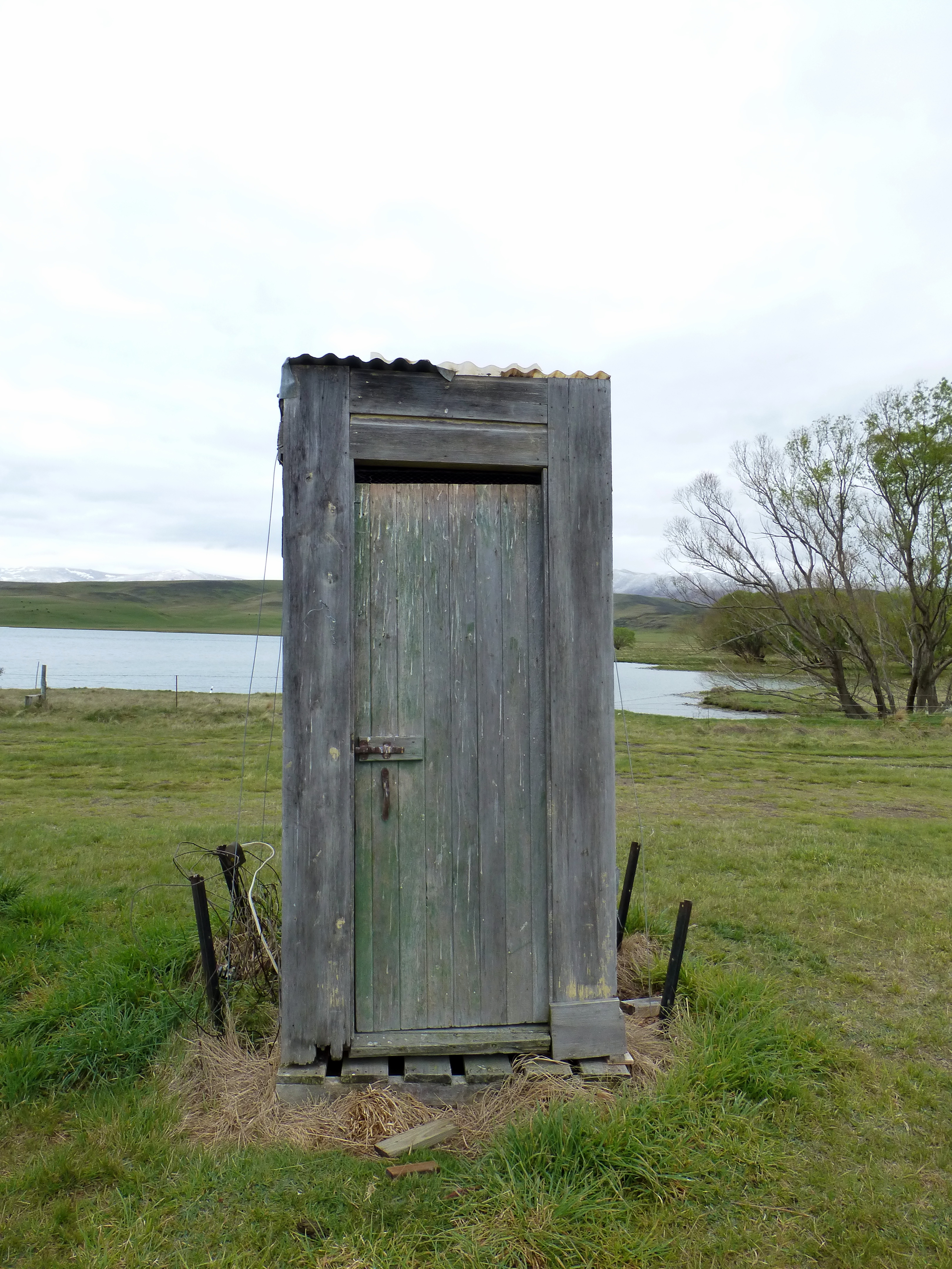
No fancy flush here ... Falls Dam
20071006_0353_30D-70 Falls Dam

Bovine beauty & baby
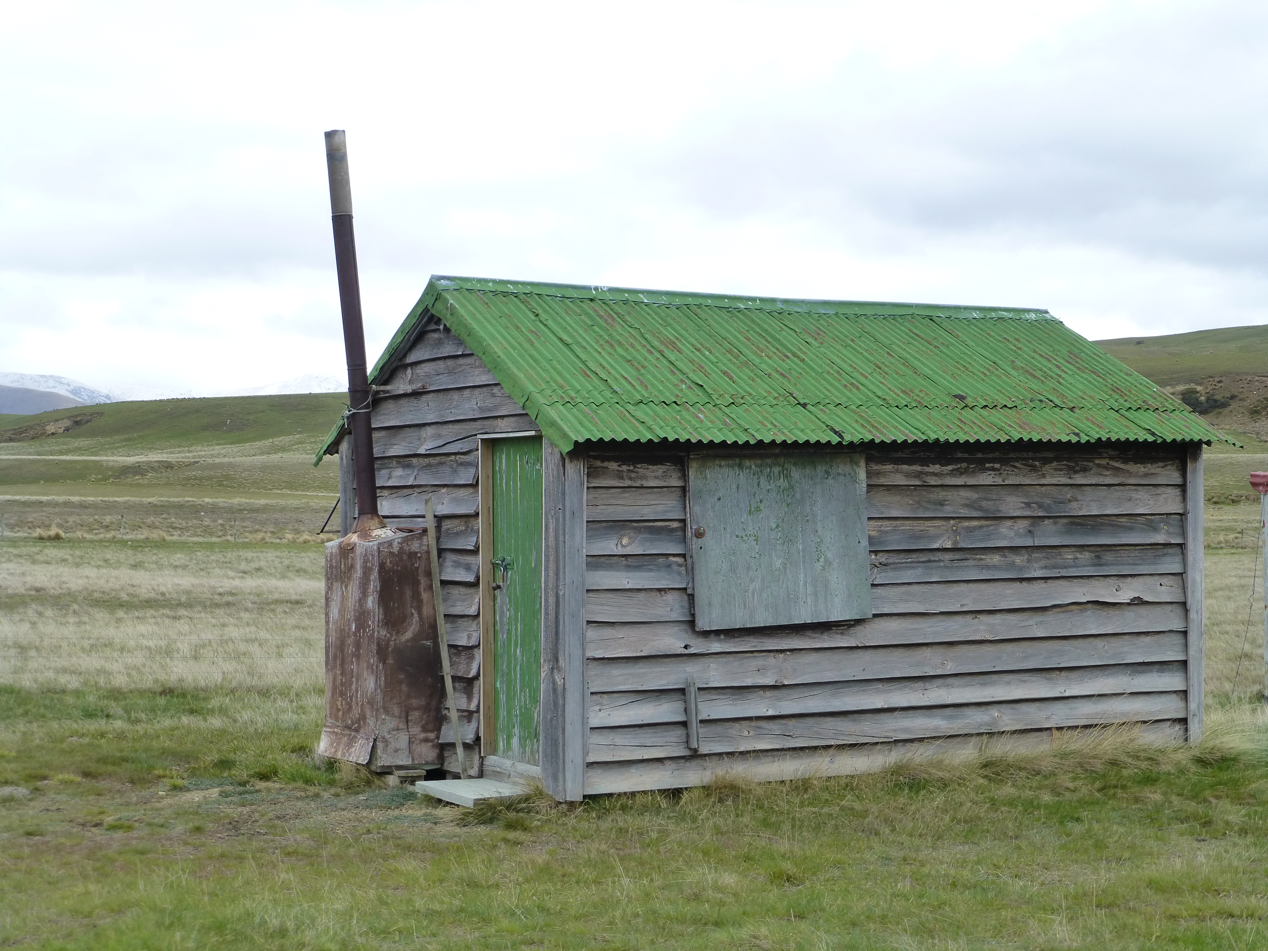
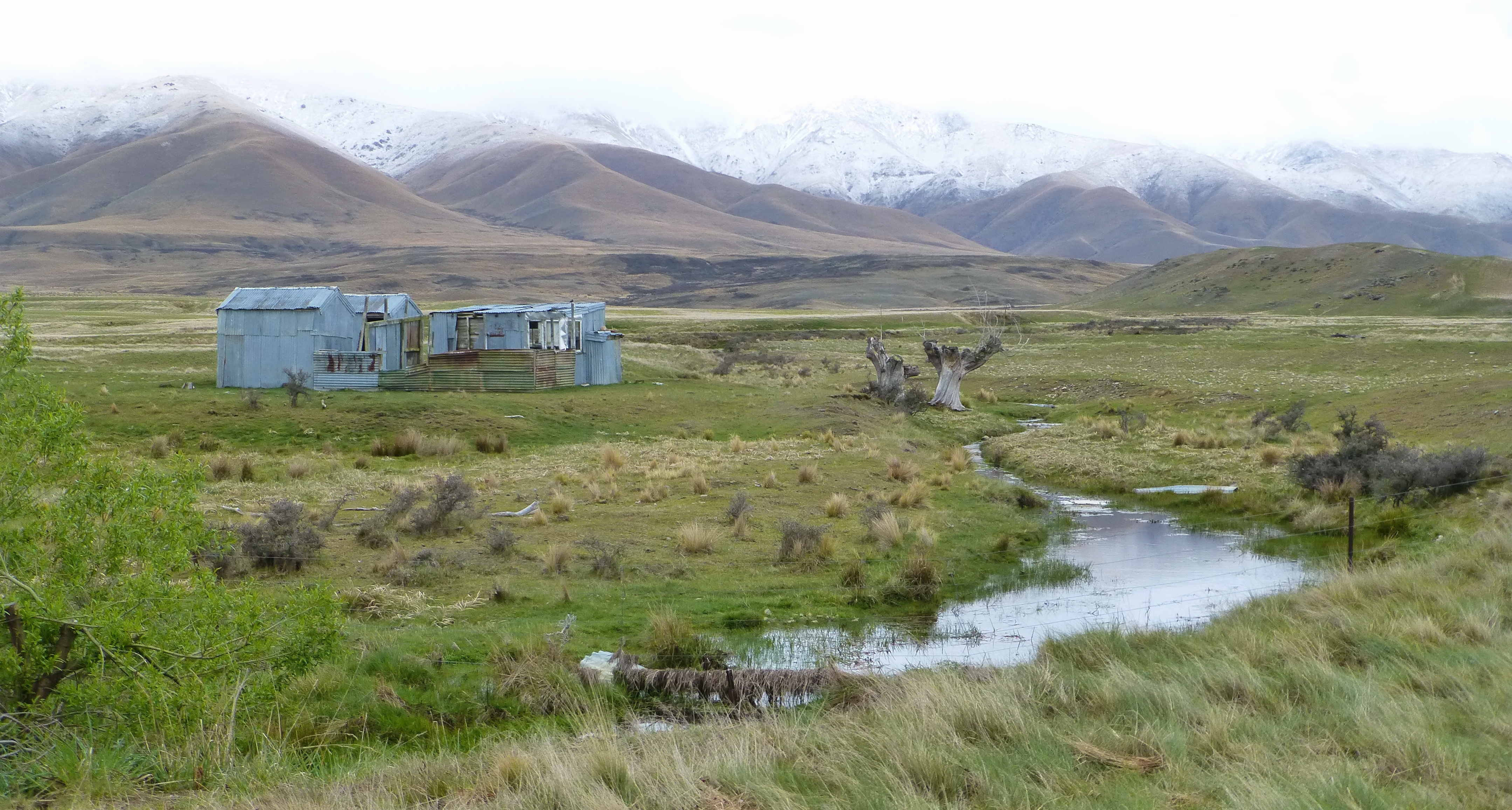
Fishing hut, Falls Dam
Phew, Central Otago
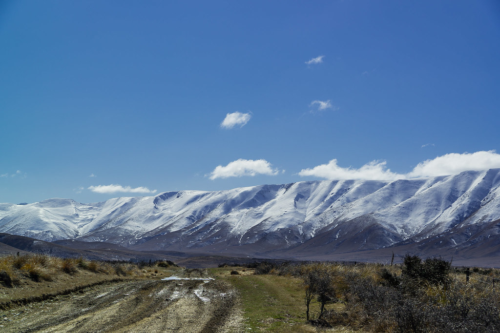
Hawkdun Runs
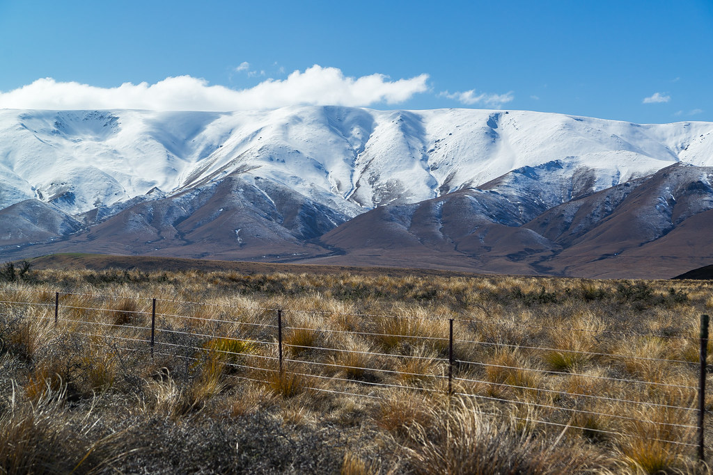
Hawkdun Range and Tussock
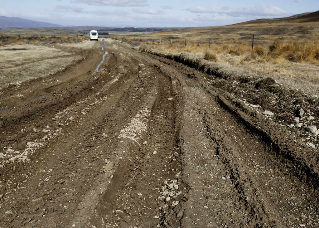
Down Hawkdun Runs Valley
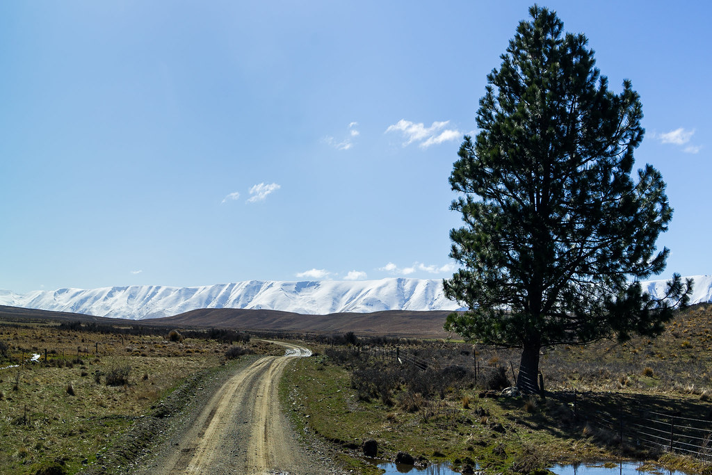
Hawkdun Range and Runs Rd
Falls Dam, South Island
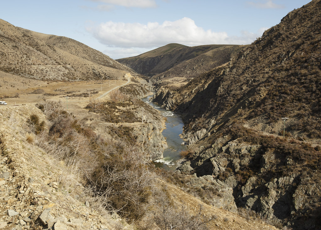
Manuherikia River
Know Your Limits
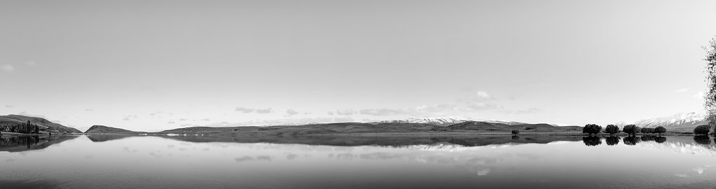
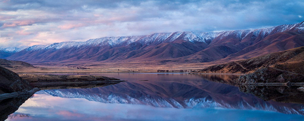
Falls Lake
Falls Dam

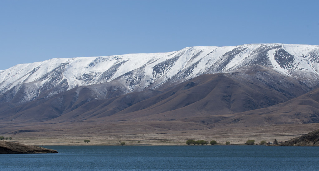
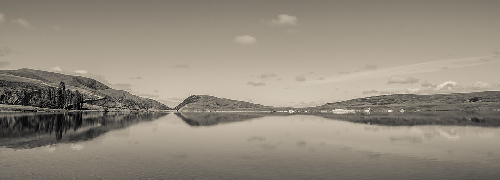
Hawkdun Range from Falls Dam
Reflections of Falls Dam
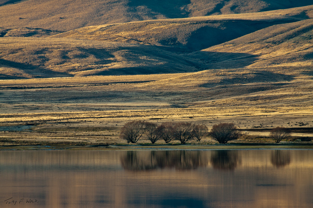
Reflections on Falls Dam
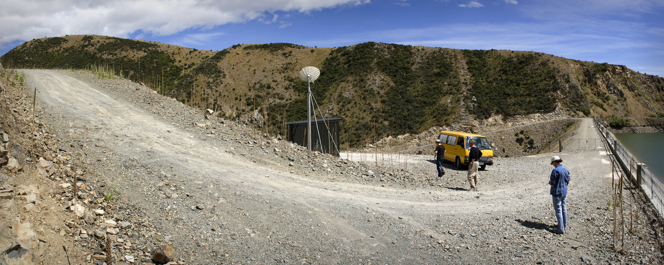
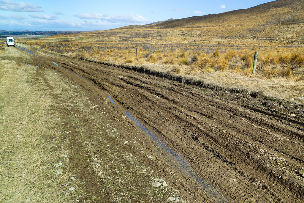
A lot steeper than it looks - would we make it out of Falls Dam?
HP Hawkdun Range, Otago, Neuseeland Karte
Suchen Sie einen anderen Ort
Nahe Plätze
Saint Bathans, St Bathans, Neuseeland
Mount Saint Bathans, Otago, Neuseeland
19 Teal Cres, Omarama, Neuseeland
Omarama, Neuseeland
Dunstan Downs High Country Sheep Station, State Highway 8, Omarama, Neuseeland
Lindis Pass, Otago, Neuseeland
Otago, Neuseeland
Lindis Pass, Neuseeland
Glenbrook, Neuseeland
High Country Salmon, Twizel-Omarama Road, Twizel, Neuseeland
Twizel, Neuseeland
Lake Ohau, Canterbury, Neuseeland
Ahuriri Conservation Park, Neuseeland
Pukaki, Neuseeland
Mount Saint Mary, Otago, Neuseeland
Hopkins Valley, Neuseeland
Queensberry Terrace, Queensberry, Neuseeland
State Highway 6, Queensberry, Neuseeland
Dingle Burn, Neuseeland
Wailana Heights Drive, Wailana Heights Dr, Queensberry, Neuseeland
Letzte Suche
- Red Dog Mine, AK, USA Sonnenaufgang Sonnenuntergang Zeiten
- Am Bahnhof, Am bhf, Borken, Germany Sonnenaufgang Sonnenuntergang Zeiten
- 4th St E, Sonoma, CA, USA Sonnenaufgang Sonnenuntergang Zeiten
- Oakland Ave, Williamsport, PA, USA Sonnenaufgang Sonnenuntergang Zeiten
- Via Roma, Pieranica CR, Italien Sonnenaufgang Sonnenuntergang Zeiten
- Glockenturm, Grad, Dubrovnik, Kroatien Sonnenaufgang Sonnenuntergang Zeiten
- Trelew, Chubut Province, Argentina Sonnenaufgang Sonnenuntergang Zeiten
- Hartfords Bluff Cir, Mt Pleasant, SC, USA Sonnenaufgang Sonnenuntergang Zeiten
- Kita-ku, Kumamoto, Präfektur Kumamoto, Japan Sonnenaufgang Sonnenuntergang Zeiten
- Pingtan Island, Pingtan County, Fuzhou, China Sonnenaufgang Sonnenuntergang Zeiten