| Zeitzone: | Zentralindonesische Zeit |
|---|---|
| Ortszeit: | Montag, 23. November 2026 07:52 |
| Länge: | 119.742604 |
| Breite: | -5.3102888 |
| Sonnenaufgang Heute: | 05:37:20 |
| Sonnenuntergang Heute: | 18:00:11 |
| Tageslänge heute: | 12h 22m 50s |
| Sonnenaufgang morgen: | 05:37:31 |
| Sonnenuntergang Morgen: | 18:00:33 |
| Tageslänge von morgen: | 12h 23m 2s |
: Alle Termine anzeigen
| Datum | Sonnenaufgang | Sonnenuntergang | Tageslänge |
|---|---|---|---|
| 1. Jan. 2026 | 05:52:16 | 18:17:45 | 12h 25m 28s |
| 1. Feb. 2026 | 06:05:23 | 18:25:51 | 12h 20m 28s |
| 1. März 2026 | 06:08:43 | 18:21:35 | 12h 12m 51s |
| 1. Apr. 2026 | 06:04:39 | 18:08:24 | 12h 3m 45s |
| 1. Mai 2026 | 06:01:36 | 17:57:24 | 11h 55m 48s |
| 1. Juni 2026 | 06:05:02 | 17:55:09 | 11h 50m 7s |
| 1. Juli 2026 | 06:11:13 | 18:00:14 | 11h 49m 1s |
| 1. Aug. 2026 | 06:12:12 | 18:05:05 | 11h 52m 53s |
| 1. Sep. 2026 | 06:02:59 | 18:03:08 | 12h 0m 9s |
| 1. Okt. 2026 | 05:48:08 | 17:56:46 | 12h 8m 38s |
| 1. Nov. 2026 | 05:37:09 | 17:54:37 | 12h 17m 28s |
| 23. Nov. 2026 | 05:37:09 | 17:59:49 | 12h 22m 39s |
| 24. Nov. 2026 | 05:37:20 | 18:00:11 | 12h 22m 50s |
| 1. Dez. 2026 | 05:38:58 | 18:03:00 | 12h 24m 2s |
Fotos von Sonnenaufgang und Sonnenuntergang
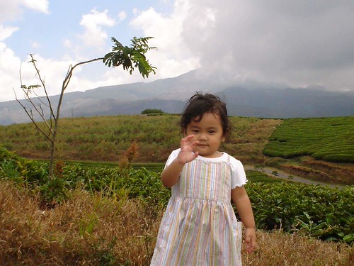
Hii,, by anton.vanjava
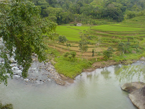
alamku by Uyunk2011

Takapala Waterfall by Jokoleo

Merapi Bee by axel.becker73

Aerial View of Biringkanaya near Makassar, Indonesia by peace-on-earth.org
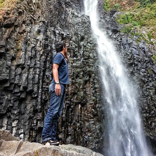
Takapala waterfall, dont ever forget your swimsuit lads #makassar #instanusantara #idandrography #indonesia #malino by AquilaYoma
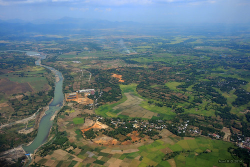
Flying over South Sulawesi by -AX-
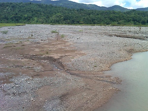
Pasca banjir di Desa Lonjoboko Jalan Poros Malino - Gowa by MonevDAS
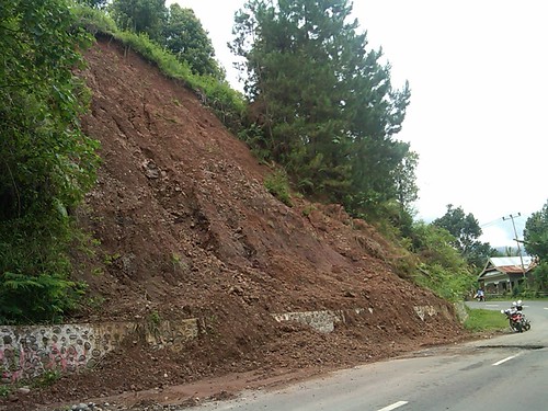
Longsor di Malino by MonevDAS
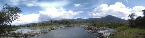
Jeneberang riverside by fadla
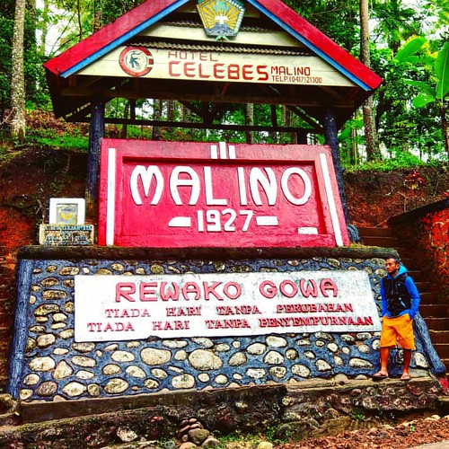
tiada hari tanpa perubahan... with all the memories here... #mountains #bawakaraeng #hiking #bikepacking #nature #natgeo #landscape by dxcorp

halimun dingin... another cloudy camp... #mountains #rockclimbing #landscape #dew #landscape #expedition #nature by dxcorp
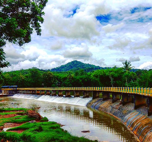
In the middle of nowhere... #bikepacking #adventure #beautiful #landscape #nature #natgeo #instapic by dxcorp
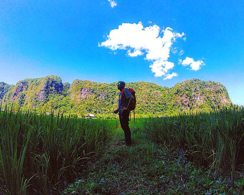
another path...#karst #jungle #landscape #sky #nature #natgeo #rockclimbing by dxcorp