Gila National Forest, New Mexico, USA Sonnenaufgang Sonnenuntergang Zeiten
Location: USA > New Mexico > Socorro County > Alamo >
Zeitzone:
America/Denver
Ortszeit:
2025-06-13 20:19:31
Länge:
-108.3758876
Breite:
33.3747871
Sonnenaufgang Heute:
06:03:24 AM
Sonnenuntergang Heute:
08:24:31 PM
Tageslänge heute:
14h 21m 7s
Sonnenaufgang morgen:
06:03:29 AM
Sonnenuntergang Morgen:
08:24:52 PM
Tageslänge von morgen:
14h 21m 23s
Alle Termine anzeigen
| Datum | Sonnenaufgang | Sonnenuntergang | Tageslänge |
|---|---|---|---|
| 2025-01-01 | 07:17:33 AM | 05:17:49 PM | 10h 0m 16s |
| 2025-01-02 | 07:17:42 AM | 05:18:36 PM | 10h 0m 54s |
| 2025-01-03 | 07:17:49 AM | 05:19:23 PM | 10h 1m 34s |
| 2025-01-04 | 07:17:54 AM | 05:20:11 PM | 10h 2m 17s |
| 2025-01-05 | 07:17:58 AM | 05:21:01 PM | 10h 3m 3s |
| 2025-01-06 | 07:17:59 AM | 05:21:51 PM | 10h 3m 52s |
| 2025-01-07 | 07:17:59 AM | 05:22:42 PM | 10h 4m 43s |
| 2025-01-08 | 07:17:57 AM | 05:23:33 PM | 10h 5m 36s |
| 2025-01-09 | 07:17:53 AM | 05:24:26 PM | 10h 6m 33s |
| 2025-01-10 | 07:17:47 AM | 05:25:19 PM | 10h 7m 32s |
| 2025-01-11 | 07:17:40 AM | 05:26:12 PM | 10h 8m 32s |
| 2025-01-12 | 07:17:30 AM | 05:27:07 PM | 10h 9m 37s |
| 2025-01-13 | 07:17:19 AM | 05:28:01 PM | 10h 10m 42s |
| 2025-01-14 | 07:17:06 AM | 05:28:57 PM | 10h 11m 51s |
| 2025-01-15 | 07:16:51 AM | 05:29:52 PM | 10h 13m 1s |
| 2025-01-16 | 07:16:34 AM | 05:30:49 PM | 10h 14m 15s |
| 2025-01-17 | 07:16:16 AM | 05:31:45 PM | 10h 15m 29s |
| 2025-01-18 | 07:15:56 AM | 05:32:42 PM | 10h 16m 46s |
| 2025-01-19 | 07:15:34 AM | 05:33:39 PM | 10h 18m 5s |
| 2025-01-20 | 07:15:10 AM | 05:34:36 PM | 10h 19m 26s |
| 2025-01-21 | 07:14:44 AM | 05:35:34 PM | 10h 20m 50s |
| 2025-01-22 | 07:14:17 AM | 05:36:32 PM | 10h 22m 15s |
| 2025-01-23 | 07:13:48 AM | 05:37:29 PM | 10h 23m 41s |
| 2025-01-24 | 07:13:18 AM | 05:38:27 PM | 10h 25m 9s |
| 2025-01-25 | 07:12:45 AM | 05:39:25 PM | 10h 26m 40s |
| 2025-01-26 | 07:12:11 AM | 05:40:24 PM | 10h 28m 13s |
| 2025-01-27 | 07:11:36 AM | 05:41:22 PM | 10h 29m 46s |
| 2025-01-28 | 07:10:59 AM | 05:42:20 PM | 10h 31m 21s |
| 2025-01-29 | 07:10:20 AM | 05:43:18 PM | 10h 32m 58s |
| 2025-01-30 | 07:09:40 AM | 05:44:15 PM | 10h 34m 35s |
| 2025-01-31 | 07:08:58 AM | 05:45:13 PM | 10h 36m 15s |
| 2025-02-01 | 07:08:15 AM | 05:46:11 PM | 10h 37m 56s |
| 2025-02-02 | 07:07:30 AM | 05:47:08 PM | 10h 39m 38s |
| 2025-02-03 | 07:06:44 AM | 05:48:06 PM | 10h 41m 22s |
| 2025-02-04 | 07:05:56 AM | 05:49:03 PM | 10h 43m 7s |
| 2025-02-05 | 07:05:07 AM | 05:50:00 PM | 10h 44m 53s |
| 2025-02-06 | 07:04:17 AM | 05:50:56 PM | 10h 46m 39s |
| 2025-02-07 | 07:03:25 AM | 05:51:53 PM | 10h 48m 28s |
| 2025-02-08 | 07:02:32 AM | 05:52:49 PM | 10h 50m 17s |
| 2025-02-09 | 07:01:38 AM | 05:53:45 PM | 10h 52m 7s |
| 2025-02-10 | 07:00:43 AM | 05:54:40 PM | 10h 53m 57s |
| 2025-02-11 | 06:59:46 AM | 05:55:35 PM | 10h 55m 49s |
| 2025-02-12 | 06:58:48 AM | 05:56:30 PM | 10h 57m 42s |
| 2025-02-13 | 06:57:49 AM | 05:57:25 PM | 10h 59m 36s |
| 2025-02-14 | 06:56:49 AM | 05:58:19 PM | 11h 1m 30s |
| 2025-02-15 | 06:55:48 AM | 05:59:13 PM | 11h 3m 25s |
| 2025-02-16 | 06:54:45 AM | 06:00:07 PM | 11h 5m 22s |
| 2025-02-17 | 06:53:42 AM | 06:01:00 PM | 11h 7m 18s |
| 2025-02-18 | 06:52:38 AM | 06:01:53 PM | 11h 9m 15s |
| 2025-02-19 | 06:51:32 AM | 06:02:46 PM | 11h 11m 14s |
| 2025-02-20 | 06:50:26 AM | 06:03:38 PM | 11h 13m 12s |
| 2025-02-21 | 06:49:19 AM | 06:04:30 PM | 11h 15m 11s |
| 2025-02-22 | 06:48:11 AM | 06:05:21 PM | 11h 17m 10s |
| 2025-02-23 | 06:47:02 AM | 06:06:12 PM | 11h 19m 10s |
| 2025-02-24 | 06:45:52 AM | 06:07:03 PM | 11h 21m 11s |
| 2025-02-25 | 06:44:41 AM | 06:07:54 PM | 11h 23m 13s |
| 2025-02-26 | 06:43:30 AM | 06:08:44 PM | 11h 25m 14s |
| 2025-02-27 | 06:42:18 AM | 06:09:34 PM | 11h 27m 16s |
| 2025-02-28 | 06:41:05 AM | 06:10:23 PM | 11h 29m 18s |
| 2025-03-01 | 06:39:52 AM | 06:11:12 PM | 11h 31m 20s |
| 2025-03-02 | 06:38:38 AM | 06:12:01 PM | 11h 33m 23s |
| 2025-03-03 | 06:37:23 AM | 06:12:49 PM | 11h 35m 26s |
| 2025-03-04 | 06:36:08 AM | 06:13:38 PM | 11h 37m 30s |
| 2025-03-05 | 06:34:53 AM | 06:14:25 PM | 11h 39m 32s |
| 2025-03-06 | 06:33:36 AM | 06:15:13 PM | 11h 41m 37s |
| 2025-03-07 | 06:32:20 AM | 06:16:00 PM | 11h 43m 40s |
| 2025-03-08 | 06:31:02 AM | 06:16:47 PM | 11h 45m 45s |
| 2025-03-09 | 07:29:48 AM | 07:17:32 PM | 11h 47m 44s |
| 2025-03-10 | 07:28:30 AM | 07:18:19 PM | 11h 49m 49s |
| 2025-03-11 | 07:27:12 AM | 07:19:05 PM | 11h 51m 53s |
| 2025-03-12 | 07:25:53 AM | 07:19:51 PM | 11h 53m 58s |
| 2025-03-13 | 07:24:34 AM | 07:20:37 PM | 11h 56m 3s |
| 2025-03-14 | 07:23:15 AM | 07:21:23 PM | 11h 58m 8s |
| 2025-03-15 | 07:21:55 AM | 07:22:08 PM | 12h 0m 13s |
| 2025-03-16 | 07:20:36 AM | 07:22:53 PM | 12h 2m 17s |
| 2025-03-17 | 07:19:16 AM | 07:23:38 PM | 12h 4m 22s |
| 2025-03-18 | 07:17:56 AM | 07:24:23 PM | 12h 6m 27s |
| 2025-03-19 | 07:16:36 AM | 07:25:08 PM | 12h 8m 32s |
| 2025-03-20 | 07:15:15 AM | 07:25:53 PM | 12h 10m 38s |
| 2025-03-21 | 07:13:55 AM | 07:26:37 PM | 12h 12m 42s |
| 2025-03-22 | 07:12:35 AM | 07:27:22 PM | 12h 14m 47s |
| 2025-03-23 | 07:11:14 AM | 07:28:06 PM | 12h 16m 52s |
| 2025-03-24 | 07:09:54 AM | 07:28:50 PM | 12h 18m 56s |
| 2025-03-25 | 07:08:33 AM | 07:29:34 PM | 12h 21m 1s |
| 2025-03-26 | 07:07:13 AM | 07:30:18 PM | 12h 23m 5s |
| 2025-03-27 | 07:05:53 AM | 07:31:02 PM | 12h 25m 9s |
| 2025-03-28 | 07:04:33 AM | 07:31:46 PM | 12h 27m 13s |
| 2025-03-29 | 07:03:13 AM | 07:32:30 PM | 12h 29m 17s |
| 2025-03-30 | 07:01:53 AM | 07:33:14 PM | 12h 31m 21s |
| 2025-03-31 | 07:00:34 AM | 07:33:58 PM | 12h 33m 24s |
| 2025-04-01 | 06:59:15 AM | 07:34:42 PM | 12h 35m 27s |
| 2025-04-02 | 06:57:56 AM | 07:35:26 PM | 12h 37m 30s |
| 2025-04-03 | 06:56:37 AM | 07:36:09 PM | 12h 39m 32s |
| 2025-04-04 | 06:55:19 AM | 07:36:53 PM | 12h 41m 34s |
| 2025-04-05 | 06:54:01 AM | 07:37:37 PM | 12h 43m 36s |
| 2025-04-06 | 06:52:43 AM | 07:38:21 PM | 12h 45m 38s |
| 2025-04-07 | 06:51:26 AM | 07:39:05 PM | 12h 47m 39s |
| 2025-04-08 | 06:50:10 AM | 07:39:49 PM | 12h 49m 39s |
| 2025-04-09 | 06:48:53 AM | 07:40:33 PM | 12h 51m 40s |
| 2025-04-10 | 06:47:38 AM | 07:41:17 PM | 12h 53m 39s |
| 2025-04-11 | 06:46:23 AM | 07:42:02 PM | 12h 55m 39s |
| 2025-04-12 | 06:45:08 AM | 07:42:46 PM | 12h 57m 38s |
| 2025-04-13 | 06:43:54 AM | 07:43:30 PM | 12h 59m 36s |
| 2025-04-14 | 06:42:41 AM | 07:44:15 PM | 13h 1m 34s |
| 2025-04-15 | 06:41:28 AM | 07:44:59 PM | 13h 3m 31s |
| 2025-04-16 | 06:40:16 AM | 07:45:44 PM | 13h 5m 28s |
| 2025-04-17 | 06:39:04 AM | 07:46:28 PM | 13h 7m 24s |
| 2025-04-18 | 06:37:54 AM | 07:47:13 PM | 13h 9m 19s |
| 2025-04-19 | 06:36:44 AM | 07:47:58 PM | 13h 11m 14s |
| 2025-04-20 | 06:35:35 AM | 07:48:43 PM | 13h 13m 8s |
| 2025-04-21 | 06:34:26 AM | 07:49:28 PM | 13h 15m 2s |
| 2025-04-22 | 06:33:19 AM | 07:50:13 PM | 13h 16m 54s |
| 2025-04-23 | 06:32:12 AM | 07:50:58 PM | 13h 18m 46s |
| 2025-04-24 | 06:31:06 AM | 07:51:43 PM | 13h 20m 37s |
| 2025-04-25 | 06:30:02 AM | 07:52:29 PM | 13h 22m 27s |
| 2025-04-26 | 06:28:58 AM | 07:53:14 PM | 13h 24m 16s |
| 2025-04-27 | 06:27:55 AM | 07:53:59 PM | 13h 26m 4s |
| 2025-04-28 | 06:26:53 AM | 07:54:45 PM | 13h 27m 52s |
| 2025-04-29 | 06:25:52 AM | 07:55:30 PM | 13h 29m 38s |
| 2025-04-30 | 06:24:52 AM | 07:56:15 PM | 13h 31m 23s |
| 2025-05-01 | 06:23:54 AM | 07:57:01 PM | 13h 33m 7s |
| 2025-05-02 | 06:22:56 AM | 07:57:46 PM | 13h 34m 50s |
| 2025-05-03 | 06:22:00 AM | 07:58:32 PM | 13h 36m 32s |
| 2025-05-04 | 06:21:04 AM | 07:59:17 PM | 13h 38m 13s |
| 2025-05-05 | 06:20:10 AM | 08:00:02 PM | 13h 39m 52s |
| 2025-05-06 | 06:19:17 AM | 08:00:47 PM | 13h 41m 30s |
| 2025-05-07 | 06:18:25 AM | 08:01:33 PM | 13h 43m 8s |
| 2025-05-08 | 06:17:35 AM | 08:02:18 PM | 13h 44m 43s |
| 2025-05-09 | 06:16:46 AM | 08:03:03 PM | 13h 46m 17s |
| 2025-05-10 | 06:15:58 AM | 08:03:47 PM | 13h 47m 49s |
| 2025-05-11 | 06:15:11 AM | 08:04:32 PM | 13h 49m 21s |
| 2025-05-12 | 06:14:26 AM | 08:05:16 PM | 13h 50m 50s |
| 2025-05-13 | 06:13:42 AM | 08:06:00 PM | 13h 52m 18s |
| 2025-05-14 | 06:12:59 AM | 08:06:44 PM | 13h 53m 45s |
| 2025-05-15 | 06:12:18 AM | 08:07:28 PM | 13h 55m 10s |
| 2025-05-16 | 06:11:39 AM | 08:08:12 PM | 13h 56m 33s |
| 2025-05-17 | 06:11:00 AM | 08:08:55 PM | 13h 57m 55s |
| 2025-05-18 | 06:10:23 AM | 08:09:37 PM | 13h 59m 14s |
| 2025-05-19 | 06:09:48 AM | 08:10:20 PM | 14h 0m 32s |
| 2025-05-20 | 06:09:14 AM | 08:11:02 PM | 14h 1m 48s |
| 2025-05-21 | 06:08:42 AM | 08:11:43 PM | 14h 3m 1s |
| 2025-05-22 | 06:08:11 AM | 08:12:24 PM | 14h 4m 13s |
| 2025-05-23 | 06:07:41 AM | 08:13:05 PM | 14h 5m 24s |
| 2025-05-24 | 06:07:13 AM | 08:13:45 PM | 14h 6m 32s |
| 2025-05-25 | 06:06:47 AM | 08:14:24 PM | 14h 7m 37s |
| 2025-05-26 | 06:06:22 AM | 08:15:03 PM | 14h 8m 41s |
| 2025-05-27 | 06:05:59 AM | 08:15:41 PM | 14h 9m 42s |
| 2025-05-28 | 06:05:37 AM | 08:16:19 PM | 14h 10m 42s |
| 2025-05-29 | 06:05:17 AM | 08:16:56 PM | 14h 11m 39s |
| 2025-05-30 | 06:04:58 AM | 08:17:32 PM | 14h 12m 34s |
| 2025-05-31 | 06:04:41 AM | 08:18:07 PM | 14h 13m 26s |
| 2025-06-01 | 06:04:26 AM | 08:18:42 PM | 14h 14m 16s |
| 2025-06-02 | 06:04:12 AM | 08:19:16 PM | 14h 15m 4s |
| 2025-06-03 | 06:04:00 AM | 08:19:49 PM | 14h 15m 49s |
| 2025-06-04 | 06:03:49 AM | 08:20:21 PM | 14h 16m 32s |
| 2025-06-05 | 06:03:40 AM | 08:20:52 PM | 14h 17m 12s |
| 2025-06-06 | 06:03:32 AM | 08:21:22 PM | 14h 17m 50s |
| 2025-06-07 | 06:03:26 AM | 08:21:51 PM | 14h 18m 25s |
| 2025-06-08 | 06:03:22 AM | 08:22:19 PM | 14h 18m 57s |
| 2025-06-09 | 06:03:19 AM | 08:22:46 PM | 14h 19m 27s |
| 2025-06-10 | 06:03:17 AM | 08:23:11 PM | 14h 19m 54s |
| 2025-06-11 | 06:03:17 AM | 08:23:36 PM | 14h 20m 19s |
| 2025-06-12 | 06:03:19 AM | 08:24:00 PM | 14h 20m 41s |
| 2025-06-13 | 06:03:22 AM | 08:24:22 PM | 14h 21m 0s |
| 2025-06-14 | 06:03:27 AM | 08:24:43 PM | 14h 21m 16s |
| 2025-06-15 | 06:03:33 AM | 08:25:03 PM | 14h 21m 30s |
| 2025-06-16 | 06:03:40 AM | 08:25:22 PM | 14h 21m 42s |
| 2025-06-17 | 06:03:49 AM | 08:25:39 PM | 14h 21m 50s |
| 2025-06-18 | 06:03:59 AM | 08:25:55 PM | 14h 21m 56s |
| 2025-06-19 | 06:04:11 AM | 08:26:09 PM | 14h 21m 58s |
| 2025-06-20 | 06:04:24 AM | 08:26:22 PM | 14h 21m 58s |
| 2025-06-21 | 06:04:38 AM | 08:26:34 PM | 14h 21m 56s |
| 2025-06-22 | 06:04:54 AM | 08:26:44 PM | 14h 21m 50s |
| 2025-06-23 | 06:05:11 AM | 08:26:53 PM | 14h 21m 42s |
| 2025-06-24 | 06:05:29 AM | 08:27:00 PM | 14h 21m 31s |
| 2025-06-25 | 06:05:48 AM | 08:27:06 PM | 14h 21m 18s |
| 2025-06-26 | 06:06:09 AM | 08:27:11 PM | 14h 21m 2s |
| 2025-06-27 | 06:06:31 AM | 08:27:13 PM | 14h 20m 42s |
| 2025-06-28 | 06:06:54 AM | 08:27:15 PM | 14h 20m 21s |
| 2025-06-29 | 06:07:17 AM | 08:27:14 PM | 14h 19m 57s |
| 2025-06-30 | 06:07:43 AM | 08:27:13 PM | 14h 19m 30s |
| 2025-07-01 | 06:08:09 AM | 08:27:09 PM | 14h 19m 0s |
| 2025-07-02 | 06:08:36 AM | 08:27:04 PM | 14h 18m 28s |
| 2025-07-03 | 06:09:04 AM | 08:26:57 PM | 14h 17m 53s |
| 2025-07-04 | 06:09:33 AM | 08:26:49 PM | 14h 17m 16s |
| 2025-07-05 | 06:10:03 AM | 08:26:39 PM | 14h 16m 36s |
| 2025-07-06 | 06:10:33 AM | 08:26:28 PM | 14h 15m 55s |
| 2025-07-07 | 06:11:05 AM | 08:26:15 PM | 14h 15m 10s |
| 2025-07-08 | 06:11:37 AM | 08:26:00 PM | 14h 14m 23s |
| 2025-07-09 | 06:12:11 AM | 08:25:44 PM | 14h 13m 33s |
| 2025-07-10 | 06:12:44 AM | 08:25:26 PM | 14h 12m 42s |
| 2025-07-11 | 06:13:19 AM | 08:25:07 PM | 14h 11m 48s |
| 2025-07-12 | 06:13:54 AM | 08:24:45 PM | 14h 10m 51s |
| 2025-07-13 | 06:14:30 AM | 08:24:23 PM | 14h 9m 53s |
| 2025-07-14 | 06:15:07 AM | 08:23:58 PM | 14h 8m 51s |
| 2025-07-15 | 06:15:44 AM | 08:23:33 PM | 14h 7m 49s |
| 2025-07-16 | 06:16:21 AM | 08:23:05 PM | 14h 6m 44s |
| 2025-07-17 | 06:16:59 AM | 08:22:36 PM | 14h 5m 37s |
| 2025-07-18 | 06:17:38 AM | 08:22:05 PM | 14h 4m 27s |
| 2025-07-19 | 06:18:17 AM | 08:21:33 PM | 14h 3m 16s |
| 2025-07-20 | 06:18:56 AM | 08:21:00 PM | 14h 2m 4s |
| 2025-07-21 | 06:19:36 AM | 08:20:24 PM | 14h 0m 48s |
| 2025-07-22 | 06:20:16 AM | 08:19:48 PM | 13h 59m 32s |
| 2025-07-23 | 06:20:56 AM | 08:19:10 PM | 13h 58m 14s |
| 2025-07-24 | 06:21:37 AM | 08:18:30 PM | 13h 56m 53s |
| 2025-07-25 | 06:22:18 AM | 08:17:49 PM | 13h 55m 31s |
| 2025-07-26 | 06:22:59 AM | 08:17:06 PM | 13h 54m 7s |
| 2025-07-27 | 06:23:40 AM | 08:16:23 PM | 13h 52m 43s |
| 2025-07-28 | 06:24:22 AM | 08:15:37 PM | 13h 51m 15s |
| 2025-07-29 | 06:25:04 AM | 08:14:50 PM | 13h 49m 46s |
| 2025-07-30 | 06:25:45 AM | 08:14:02 PM | 13h 48m 17s |
| 2025-07-31 | 06:26:27 AM | 08:13:13 PM | 13h 46m 46s |
| 2025-08-01 | 06:27:09 AM | 08:12:22 PM | 13h 45m 13s |
| 2025-08-02 | 06:27:52 AM | 08:11:30 PM | 13h 43m 38s |
| 2025-08-03 | 06:28:34 AM | 08:10:37 PM | 13h 42m 3s |
| 2025-08-04 | 06:29:16 AM | 08:09:43 PM | 13h 40m 27s |
| 2025-08-05 | 06:29:58 AM | 08:08:47 PM | 13h 38m 49s |
| 2025-08-06 | 06:30:40 AM | 08:07:50 PM | 13h 37m 10s |
| 2025-08-07 | 06:31:23 AM | 08:06:52 PM | 13h 35m 29s |
| 2025-08-08 | 06:32:05 AM | 08:05:53 PM | 13h 33m 48s |
| 2025-08-09 | 06:32:47 AM | 08:04:53 PM | 13h 32m 6s |
| 2025-08-10 | 06:33:29 AM | 08:03:51 PM | 13h 30m 22s |
| 2025-08-11 | 06:34:11 AM | 08:02:49 PM | 13h 28m 38s |
| 2025-08-12 | 06:34:53 AM | 08:01:45 PM | 13h 26m 52s |
| 2025-08-13 | 06:35:35 AM | 08:00:41 PM | 13h 25m 6s |
| 2025-08-14 | 06:36:17 AM | 07:59:35 PM | 13h 23m 18s |
| 2025-08-15 | 06:36:59 AM | 07:58:28 PM | 13h 21m 29s |
| 2025-08-16 | 06:37:41 AM | 07:57:21 PM | 13h 19m 40s |
| 2025-08-17 | 06:38:22 AM | 07:56:13 PM | 13h 17m 51s |
| 2025-08-18 | 06:39:04 AM | 07:55:04 PM | 13h 16m 0s |
| 2025-08-19 | 06:39:45 AM | 07:53:53 PM | 13h 14m 8s |
| 2025-08-20 | 06:40:26 AM | 07:52:43 PM | 13h 12m 17s |
| 2025-08-21 | 06:41:07 AM | 07:51:31 PM | 13h 10m 24s |
| 2025-08-22 | 06:41:48 AM | 07:50:18 PM | 13h 8m 30s |
| 2025-08-23 | 06:42:29 AM | 07:49:05 PM | 13h 6m 36s |
| 2025-08-24 | 06:43:10 AM | 07:47:51 PM | 13h 4m 41s |
| 2025-08-25 | 06:43:51 AM | 07:46:37 PM | 13h 2m 46s |
| 2025-08-26 | 06:44:31 AM | 07:45:21 PM | 13h 0m 50s |
| 2025-08-27 | 06:45:12 AM | 07:44:05 PM | 12h 58m 53s |
| 2025-08-28 | 06:45:52 AM | 07:42:49 PM | 12h 56m 57s |
| 2025-08-29 | 06:46:32 AM | 07:41:32 PM | 12h 55m 0s |
| 2025-08-30 | 06:47:13 AM | 07:40:14 PM | 12h 53m 1s |
| 2025-08-31 | 06:47:53 AM | 07:38:56 PM | 12h 51m 3s |
| 2025-09-01 | 06:48:33 AM | 07:37:37 PM | 12h 49m 4s |
| 2025-09-02 | 06:49:13 AM | 07:36:18 PM | 12h 47m 5s |
| 2025-09-03 | 06:49:53 AM | 07:34:59 PM | 12h 45m 6s |
| 2025-09-04 | 06:50:32 AM | 07:33:39 PM | 12h 43m 7s |
| 2025-09-05 | 06:51:12 AM | 07:32:18 PM | 12h 41m 6s |
| 2025-09-06 | 06:51:52 AM | 07:30:57 PM | 12h 39m 5s |
| 2025-09-07 | 06:52:31 AM | 07:29:36 PM | 12h 37m 5s |
| 2025-09-08 | 06:53:11 AM | 07:28:15 PM | 12h 35m 4s |
| 2025-09-09 | 06:53:51 AM | 07:26:53 PM | 12h 33m 2s |
| 2025-09-10 | 06:54:30 AM | 07:25:32 PM | 12h 31m 2s |
| 2025-09-11 | 06:55:10 AM | 07:24:10 PM | 12h 29m 0s |
| 2025-09-12 | 06:55:50 AM | 07:22:47 PM | 12h 26m 57s |
| 2025-09-13 | 06:56:29 AM | 07:21:25 PM | 12h 24m 56s |
| 2025-09-14 | 06:57:09 AM | 07:20:02 PM | 12h 22m 53s |
| 2025-09-15 | 06:57:49 AM | 07:18:40 PM | 12h 20m 51s |
| 2025-09-16 | 06:58:29 AM | 07:17:17 PM | 12h 18m 48s |
| 2025-09-17 | 06:59:09 AM | 07:15:54 PM | 12h 16m 45s |
| 2025-09-18 | 06:59:49 AM | 07:14:31 PM | 12h 14m 42s |
| 2025-09-19 | 07:00:29 AM | 07:13:09 PM | 12h 12m 40s |
| 2025-09-20 | 07:01:09 AM | 07:11:46 PM | 12h 10m 37s |
| 2025-09-21 | 07:01:49 AM | 07:10:23 PM | 12h 8m 34s |
| 2025-09-22 | 07:02:30 AM | 07:09:01 PM | 12h 6m 31s |
| 2025-09-23 | 07:03:10 AM | 07:07:38 PM | 12h 4m 28s |
| 2025-09-24 | 07:03:51 AM | 07:06:16 PM | 12h 2m 25s |
| 2025-09-25 | 07:04:32 AM | 07:04:54 PM | 12h 0m 22s |
| 2025-09-26 | 07:05:13 AM | 07:03:32 PM | 11h 58m 19s |
| 2025-09-27 | 07:05:54 AM | 07:02:10 PM | 11h 56m 16s |
| 2025-09-28 | 07:06:36 AM | 07:00:49 PM | 11h 54m 13s |
| 2025-09-29 | 07:07:18 AM | 06:59:28 PM | 11h 52m 10s |
| 2025-09-30 | 07:08:00 AM | 06:58:07 PM | 11h 50m 7s |
| 2025-10-01 | 07:08:42 AM | 06:56:46 PM | 11h 48m 4s |
| 2025-10-02 | 07:09:24 AM | 06:55:26 PM | 11h 46m 2s |
| 2025-10-03 | 07:10:07 AM | 06:54:07 PM | 11h 44m 0s |
| 2025-10-04 | 07:10:50 AM | 06:52:47 PM | 11h 41m 57s |
| 2025-10-05 | 07:11:33 AM | 06:51:29 PM | 11h 39m 56s |
| 2025-10-06 | 07:12:17 AM | 06:50:11 PM | 11h 37m 54s |
| 2025-10-07 | 07:13:01 AM | 06:48:53 PM | 11h 35m 52s |
| 2025-10-08 | 07:13:45 AM | 06:47:36 PM | 11h 33m 51s |
| 2025-10-09 | 07:14:30 AM | 06:46:19 PM | 11h 31m 49s |
| 2025-10-10 | 07:15:15 AM | 06:45:03 PM | 11h 29m 48s |
| 2025-10-11 | 07:16:00 AM | 06:43:48 PM | 11h 27m 48s |
| 2025-10-12 | 07:16:45 AM | 06:42:34 PM | 11h 25m 49s |
| 2025-10-13 | 07:17:31 AM | 06:41:20 PM | 11h 23m 49s |
| 2025-10-14 | 07:18:18 AM | 06:40:07 PM | 11h 21m 49s |
| 2025-10-15 | 07:19:04 AM | 06:38:54 PM | 11h 19m 50s |
| 2025-10-16 | 07:19:51 AM | 06:37:43 PM | 11h 17m 52s |
| 2025-10-17 | 07:20:39 AM | 06:36:32 PM | 11h 15m 53s |
| 2025-10-18 | 07:21:26 AM | 06:35:22 PM | 11h 13m 56s |
| 2025-10-19 | 07:22:15 AM | 06:34:13 PM | 11h 11m 58s |
| 2025-10-20 | 07:23:03 AM | 06:33:05 PM | 11h 10m 2s |
| 2025-10-21 | 07:23:52 AM | 06:31:58 PM | 11h 8m 6s |
| 2025-10-22 | 07:24:41 AM | 06:30:52 PM | 11h 6m 11s |
| 2025-10-23 | 07:25:31 AM | 06:29:47 PM | 11h 4m 16s |
| 2025-10-24 | 07:26:21 AM | 06:28:43 PM | 11h 2m 22s |
| 2025-10-25 | 07:27:11 AM | 06:27:40 PM | 11h 0m 29s |
| 2025-10-26 | 07:28:02 AM | 06:26:38 PM | 10h 58m 36s |
| 2025-10-27 | 07:28:53 AM | 06:25:38 PM | 10h 56m 45s |
| 2025-10-28 | 07:29:45 AM | 06:24:38 PM | 10h 54m 53s |
| 2025-10-29 | 07:30:37 AM | 06:23:40 PM | 10h 53m 3s |
| 2025-10-30 | 07:31:29 AM | 06:22:43 PM | 10h 51m 14s |
| 2025-10-31 | 07:32:21 AM | 06:21:47 PM | 10h 49m 26s |
| 2025-11-01 | 07:33:14 AM | 06:20:52 PM | 10h 47m 38s |
| 2025-11-02 | 06:34:10 AM | 05:19:57 PM | 10h 45m 47s |
| 2025-11-03 | 06:35:03 AM | 05:19:05 PM | 10h 44m 2s |
| 2025-11-04 | 06:35:57 AM | 05:18:15 PM | 10h 42m 18s |
| 2025-11-05 | 06:36:51 AM | 05:17:26 PM | 10h 40m 35s |
| 2025-11-06 | 06:37:45 AM | 05:16:38 PM | 10h 38m 53s |
| 2025-11-07 | 06:38:39 AM | 05:15:52 PM | 10h 37m 13s |
| 2025-11-08 | 06:39:34 AM | 05:15:07 PM | 10h 35m 33s |
| 2025-11-09 | 06:40:29 AM | 05:14:24 PM | 10h 33m 55s |
| 2025-11-10 | 06:41:24 AM | 05:13:43 PM | 10h 32m 19s |
| 2025-11-11 | 06:42:19 AM | 05:13:03 PM | 10h 30m 44s |
| 2025-11-12 | 06:43:14 AM | 05:12:24 PM | 10h 29m 10s |
| 2025-11-13 | 06:44:09 AM | 05:11:47 PM | 10h 27m 38s |
| 2025-11-14 | 06:45:05 AM | 05:11:12 PM | 10h 26m 7s |
| 2025-11-15 | 06:46:00 AM | 05:10:39 PM | 10h 24m 39s |
| 2025-11-16 | 06:46:55 AM | 05:10:07 PM | 10h 23m 12s |
| 2025-11-17 | 06:47:51 AM | 05:09:37 PM | 10h 21m 46s |
| 2025-11-18 | 06:48:46 AM | 05:09:08 PM | 10h 20m 22s |
| 2025-11-19 | 06:49:41 AM | 05:08:42 PM | 10h 19m 1s |
| 2025-11-20 | 06:50:36 AM | 05:08:17 PM | 10h 17m 41s |
| 2025-11-21 | 06:51:31 AM | 05:07:54 PM | 10h 16m 23s |
| 2025-11-22 | 06:52:25 AM | 05:07:32 PM | 10h 15m 7s |
| 2025-11-23 | 06:53:20 AM | 05:07:13 PM | 10h 13m 53s |
| 2025-11-24 | 06:54:14 AM | 05:06:55 PM | 10h 12m 41s |
| 2025-11-25 | 06:55:07 AM | 05:06:39 PM | 10h 11m 32s |
| 2025-11-26 | 06:56:01 AM | 05:06:25 PM | 10h 10m 24s |
| 2025-11-27 | 06:56:54 AM | 05:06:13 PM | 10h 9m 19s |
| 2025-11-28 | 06:57:46 AM | 05:06:03 PM | 10h 8m 17s |
| 2025-11-29 | 06:58:38 AM | 05:05:54 PM | 10h 7m 16s |
| 2025-11-30 | 06:59:29 AM | 05:05:48 PM | 10h 6m 19s |
| 2025-12-01 | 07:00:20 AM | 05:05:43 PM | 10h 5m 23s |
| 2025-12-02 | 07:01:10 AM | 05:05:40 PM | 10h 4m 30s |
| 2025-12-03 | 07:01:59 AM | 05:05:39 PM | 10h 3m 40s |
| 2025-12-04 | 07:02:48 AM | 05:05:40 PM | 10h 2m 52s |
| 2025-12-05 | 07:03:36 AM | 05:05:43 PM | 10h 2m 7s |
| 2025-12-06 | 07:04:23 AM | 05:05:48 PM | 10h 1m 25s |
| 2025-12-07 | 07:05:09 AM | 05:05:54 PM | 10h 0m 45s |
| 2025-12-08 | 07:05:54 AM | 05:06:02 PM | 10h 0m 8s |
| 2025-12-09 | 07:06:38 AM | 05:06:13 PM | 9h 59m 35s |
| 2025-12-10 | 07:07:21 AM | 05:06:25 PM | 9h 59m 4s |
| 2025-12-11 | 07:08:04 AM | 05:06:38 PM | 9h 58m 34s |
| 2025-12-12 | 07:08:45 AM | 05:06:54 PM | 9h 58m 9s |
| 2025-12-13 | 07:09:24 AM | 05:07:11 PM | 9h 57m 47s |
| 2025-12-14 | 07:10:03 AM | 05:07:30 PM | 9h 57m 27s |
| 2025-12-15 | 07:10:41 AM | 05:07:51 PM | 9h 57m 10s |
| 2025-12-16 | 07:11:17 AM | 05:08:14 PM | 9h 56m 57s |
| 2025-12-17 | 07:11:51 AM | 05:08:38 PM | 9h 56m 47s |
| 2025-12-18 | 07:12:25 AM | 05:09:04 PM | 9h 56m 39s |
| 2025-12-19 | 07:12:57 AM | 05:09:31 PM | 9h 56m 34s |
| 2025-12-20 | 07:13:27 AM | 05:10:00 PM | 9h 56m 33s |
| 2025-12-21 | 07:13:57 AM | 05:10:31 PM | 9h 56m 34s |
| 2025-12-22 | 07:14:24 AM | 05:11:03 PM | 9h 56m 39s |
| 2025-12-23 | 07:14:50 AM | 05:11:36 PM | 9h 56m 46s |
| 2025-12-24 | 07:15:15 AM | 05:12:11 PM | 9h 56m 56s |
| 2025-12-25 | 07:15:38 AM | 05:12:48 PM | 9h 57m 10s |
| 2025-12-26 | 07:15:59 AM | 05:13:25 PM | 9h 57m 26s |
| 2025-12-27 | 07:16:19 AM | 05:14:04 PM | 9h 57m 45s |
| 2025-12-28 | 07:16:36 AM | 05:14:45 PM | 9h 58m 9s |
| 2025-12-29 | 07:16:53 AM | 05:15:26 PM | 9h 58m 33s |
| 2025-12-30 | 07:17:07 AM | 05:16:09 PM | 9h 59m 2s |
| 2025-12-31 | 07:17:20 AM | 05:16:53 PM | 9h 59m 33s |
Fotos
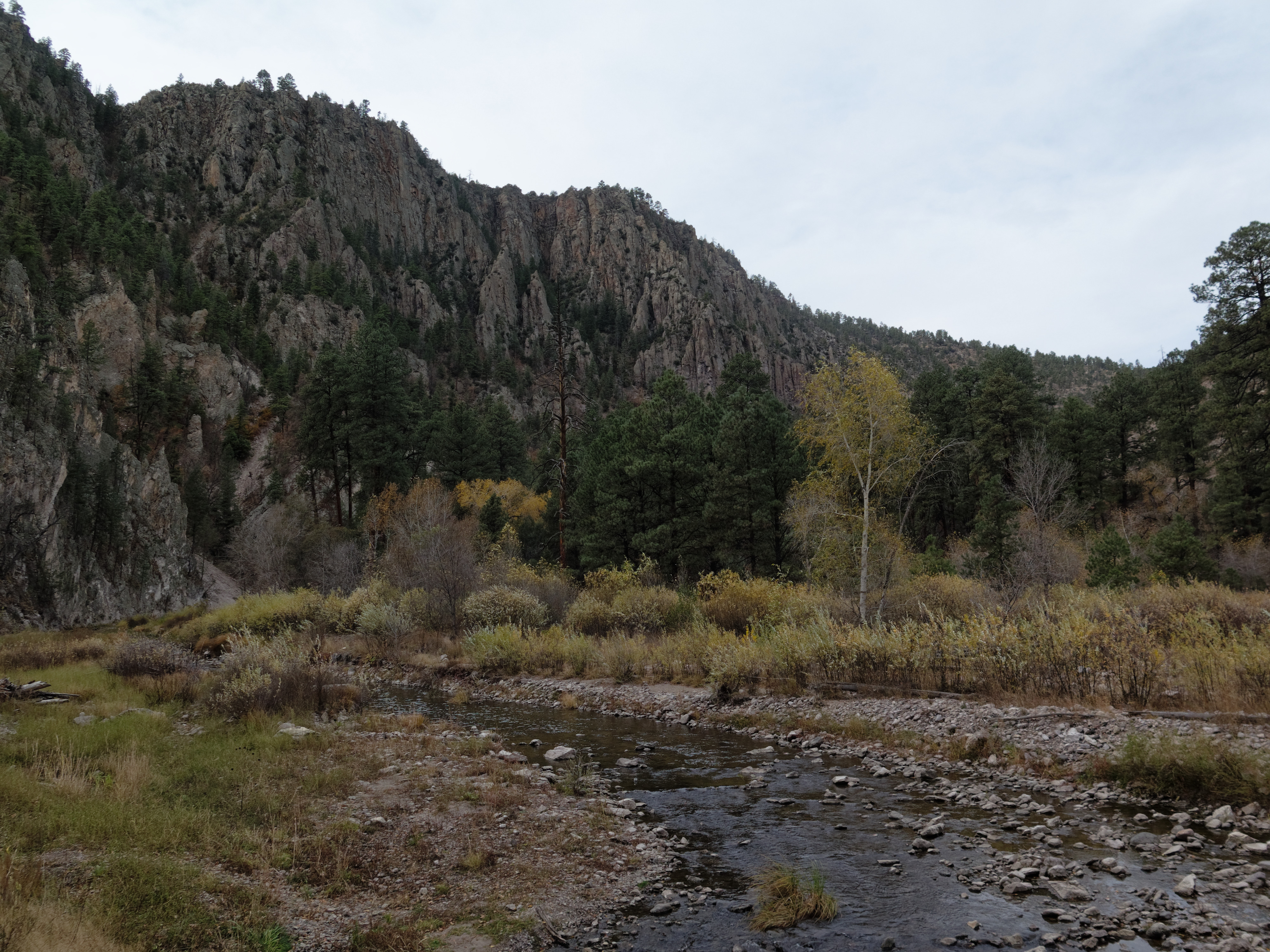
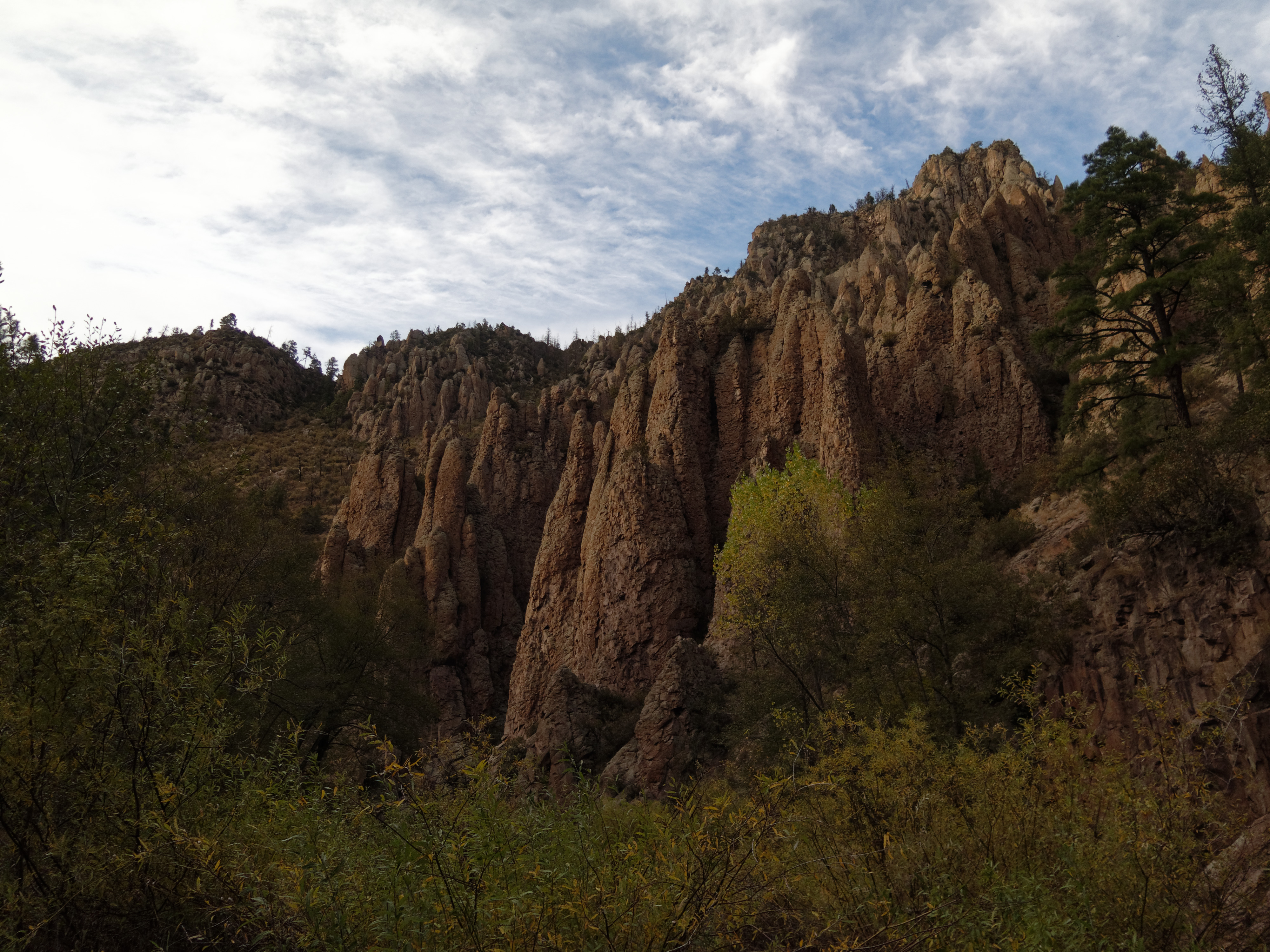
Middle Fork Gila River Trail #157

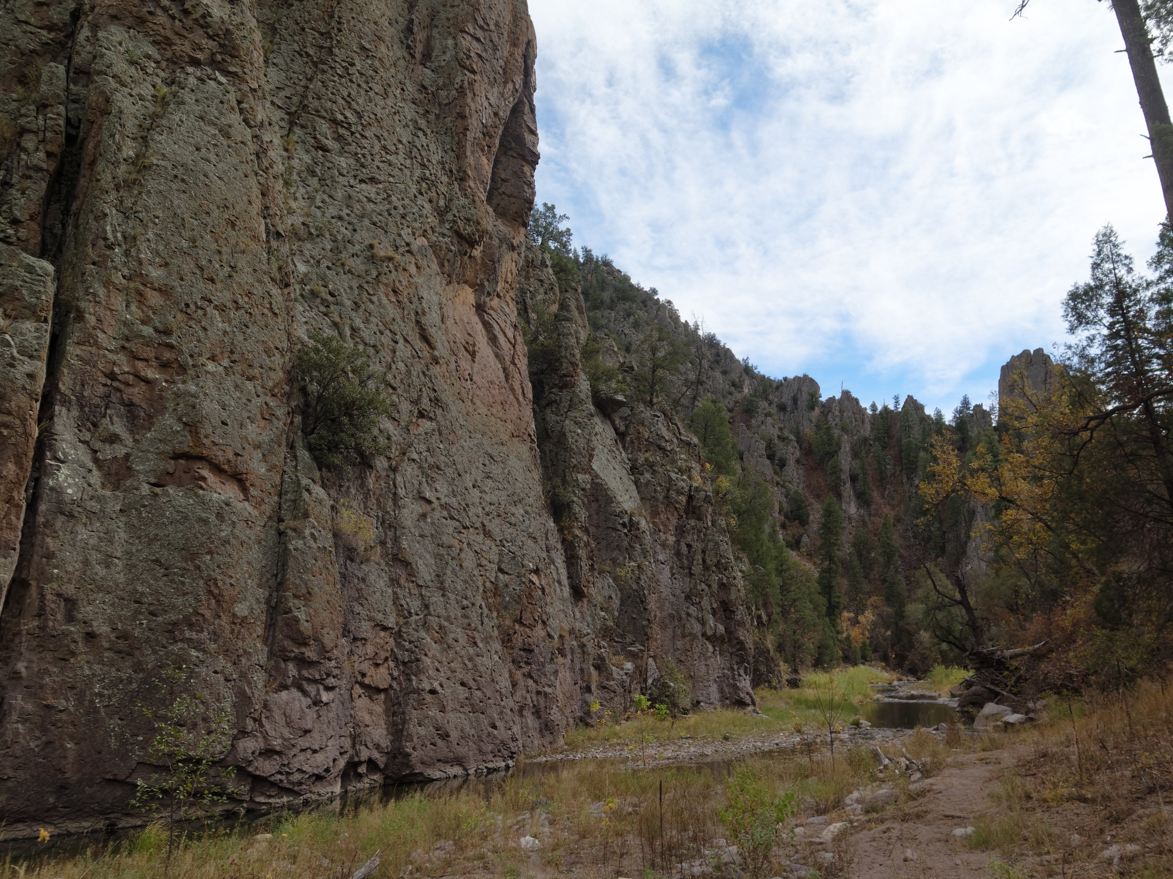
Middle Fork Gila River Trail #157
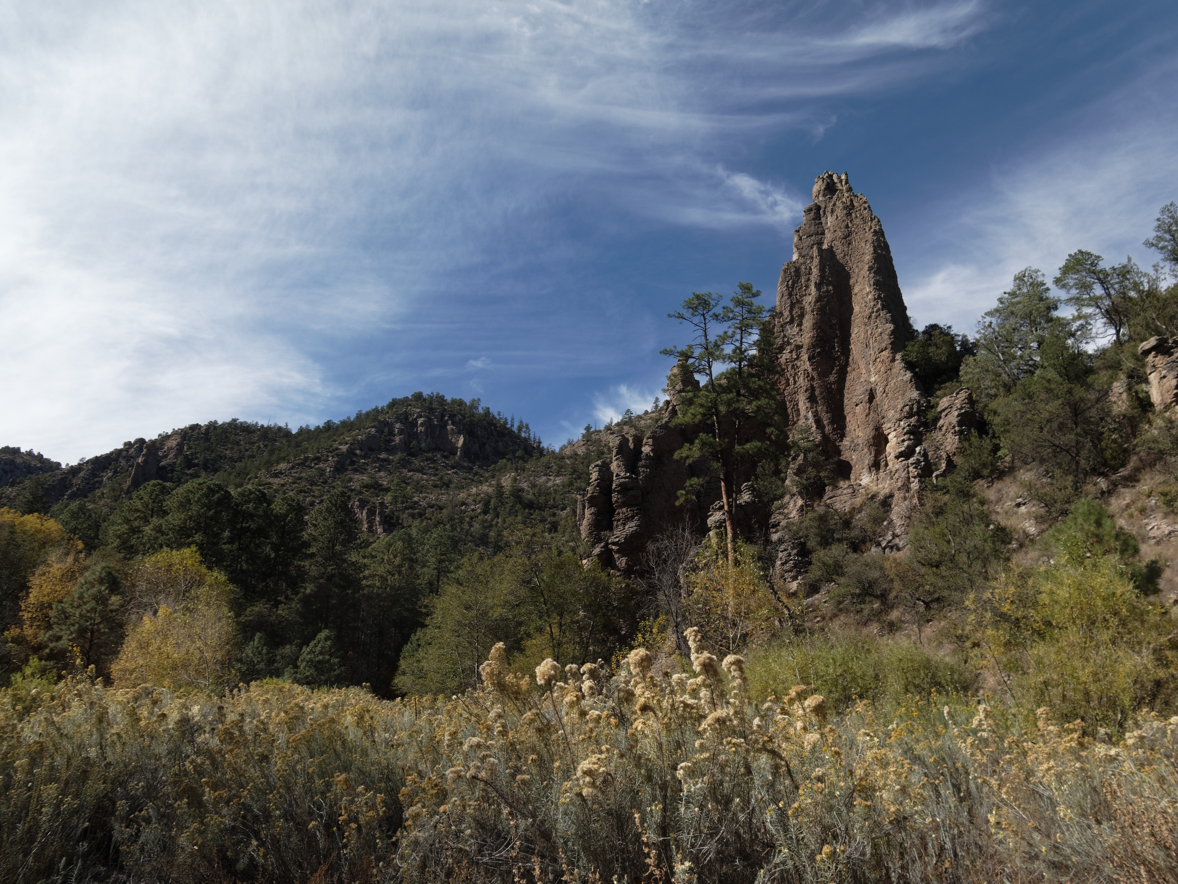
Middle Fork Gila River Trail #157

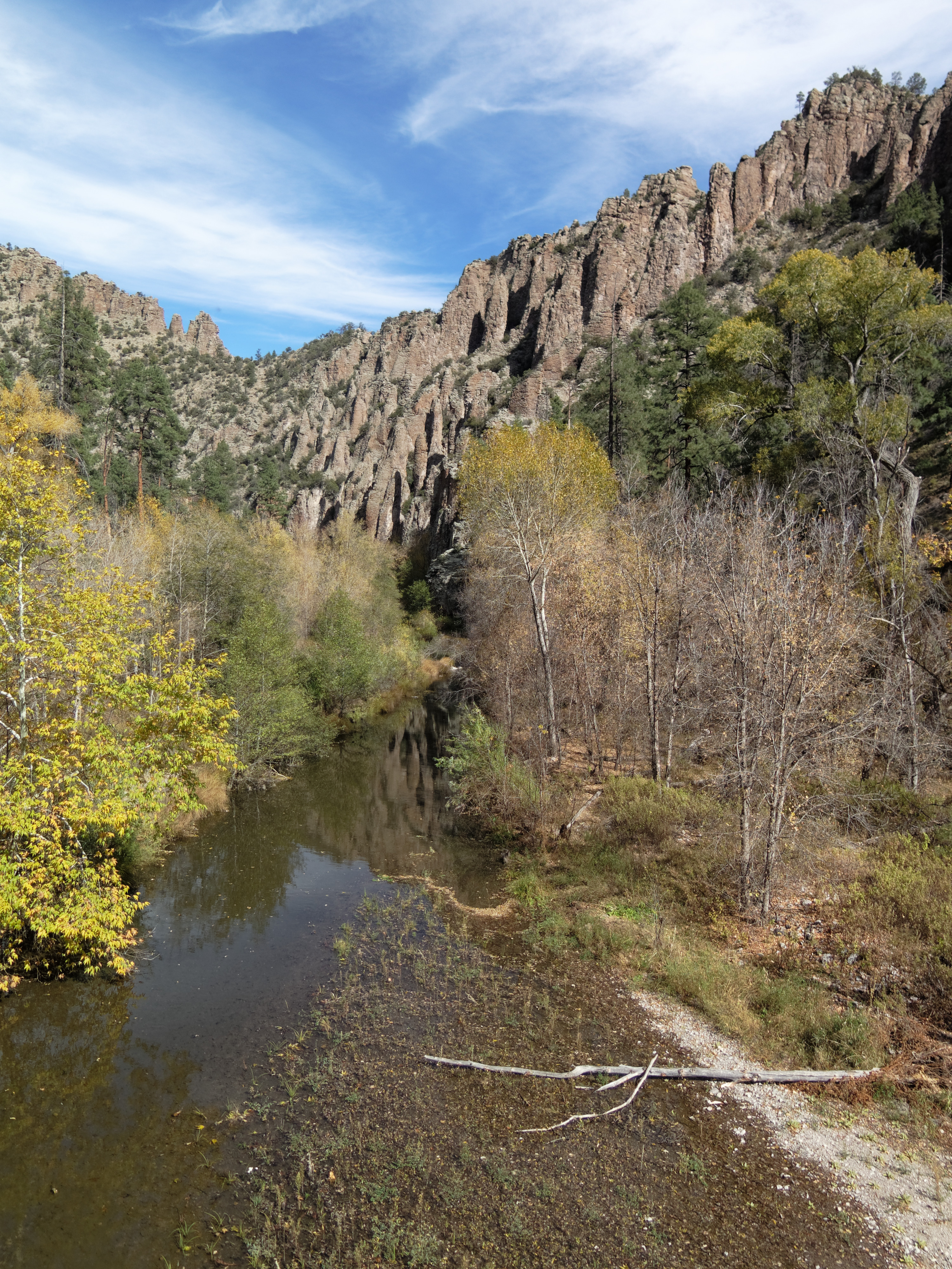
Middle Fork Gila River Trail #157

Middle Fork Gila River Trail #157

Middle Fork Gila River Trail #157

Middle Fork Gila River Trail #157

Middle Fork Gila River Trail #157

Middle Fork Gila River Trail #157

Middle Fork Gila River
West Fork Gila River Trail #151
West Fork Gila River Trail #151

West Fork Gila River Trail #151

West Fork Gila River Trail #151

West Fork Gila River Trail #151

West Fork Gila River Trail #151
West Fork Gila River Trail #151

Gila Cliff Dwellings

Gila Cliff Dwellings

West Fork Gila River Trail #151

West Fork Gila River Trail #151
Gila National Forest, New Mexico, USA Karte
Suchen Sie einen anderen Ort
Nahe Plätze
Canyon Creek Mountains HP, New Mexico, USA
Cooney Point, New Mexico, USA
Lilley Mountain, New Mexico, USA
Jerky Mountains HP, New Mexico, USA
Dipping Vat Campground, Glenwood, NM, Vereinigte Staaten
Middle Elk Mountain, New Mexico, USA
Diablo Range HP, New Mexico, USA
Elk Mountain, New Mexico, USA
Turkeyfeather Mountain, New Mexico, USA
O Bar O Mountain, New Mexico, USA
Mogollon Baldy Peak, New Mexico, USA
Shelley Peak, New Mexico, USA
Salvation Peak, New Mexico, USA
Gila National Forest, Silver City, New Mexico, USA
Seventyfour Mountain, New Mexico, USA
Pinon Knob, New Mexico, USA
Sacaton Mountain, New Mexico, USA
Haystack Mountain, New Mexico, USA
Deep Creek Divide, New Mexico, USA
Eagle Peak, New Mexico, USA
Letzte Suche
- Red Dog Mine, AK, USA Sonnenaufgang Sonnenuntergang Zeiten
- Am Bahnhof, Am bhf, Borken, Germany Sonnenaufgang Sonnenuntergang Zeiten
- 4th St E, Sonoma, CA, USA Sonnenaufgang Sonnenuntergang Zeiten
- Oakland Ave, Williamsport, PA, USA Sonnenaufgang Sonnenuntergang Zeiten
- Via Roma, Pieranica CR, Italien Sonnenaufgang Sonnenuntergang Zeiten
- Glockenturm, Grad, Dubrovnik, Kroatien Sonnenaufgang Sonnenuntergang Zeiten
- Trelew, Chubut Province, Argentina Sonnenaufgang Sonnenuntergang Zeiten
- Hartfords Bluff Cir, Mt Pleasant, SC, USA Sonnenaufgang Sonnenuntergang Zeiten
- Kita-ku, Kumamoto, Präfektur Kumamoto, Japan Sonnenaufgang Sonnenuntergang Zeiten
- Pingtan Island, Pingtan County, Fuzhou, China Sonnenaufgang Sonnenuntergang Zeiten