George Washington Hwy, Oakland, MD, USA Sonnenaufgang Sonnenuntergang Zeiten
Location: USA > Maryland > Garrett County > Oakland >
Zeitzone:
America/New_York
Ortszeit:
2025-06-06 07:51:09
Länge:
-79.3566386
Breite:
39.2926899
Sonnenaufgang Heute:
05:50:56 AM
Sonnenuntergang Heute:
08:41:34 PM
Tageslänge heute:
14h 50m 38s
Sonnenaufgang morgen:
05:50:44 AM
Sonnenuntergang Morgen:
08:42:08 PM
Tageslänge von morgen:
14h 51m 24s
Alle Termine anzeigen
| Datum | Sonnenaufgang | Sonnenuntergang | Tageslänge |
|---|---|---|---|
| 2025-01-01 | 07:37:13 AM | 05:05:52 PM | 9h 28m 39s |
| 2025-01-02 | 07:37:17 AM | 05:06:43 PM | 9h 29m 26s |
| 2025-01-03 | 07:37:19 AM | 05:07:36 PM | 9h 30m 17s |
| 2025-01-04 | 07:37:18 AM | 05:08:29 PM | 9h 31m 11s |
| 2025-01-05 | 07:37:16 AM | 05:09:25 PM | 9h 32m 9s |
| 2025-01-06 | 07:37:11 AM | 05:10:21 PM | 9h 33m 10s |
| 2025-01-07 | 07:37:05 AM | 05:11:19 PM | 9h 34m 14s |
| 2025-01-08 | 07:36:56 AM | 05:12:17 PM | 9h 35m 21s |
| 2025-01-09 | 07:36:45 AM | 05:13:17 PM | 9h 36m 32s |
| 2025-01-10 | 07:36:31 AM | 05:14:18 PM | 9h 37m 47s |
| 2025-01-11 | 07:36:16 AM | 05:15:19 PM | 9h 39m 3s |
| 2025-01-12 | 07:35:58 AM | 05:16:22 PM | 9h 40m 24s |
| 2025-01-13 | 07:35:39 AM | 05:17:25 PM | 9h 41m 46s |
| 2025-01-14 | 07:35:17 AM | 05:18:30 PM | 9h 43m 13s |
| 2025-01-15 | 07:34:53 AM | 05:19:35 PM | 9h 44m 42s |
| 2025-01-16 | 07:34:27 AM | 05:20:40 PM | 9h 46m 13s |
| 2025-01-17 | 07:33:59 AM | 05:21:47 PM | 9h 47m 48s |
| 2025-01-18 | 07:33:29 AM | 05:22:54 PM | 9h 49m 25s |
| 2025-01-19 | 07:32:57 AM | 05:24:01 PM | 9h 51m 4s |
| 2025-01-20 | 07:32:23 AM | 05:25:09 PM | 9h 52m 46s |
| 2025-01-21 | 07:31:47 AM | 05:26:17 PM | 9h 54m 30s |
| 2025-01-22 | 07:31:09 AM | 05:27:26 PM | 9h 56m 17s |
| 2025-01-23 | 07:30:29 AM | 05:28:35 PM | 9h 58m 6s |
| 2025-01-24 | 07:29:47 AM | 05:29:45 PM | 9h 59m 58s |
| 2025-01-25 | 07:29:03 AM | 05:30:54 PM | 10h 1m 51s |
| 2025-01-26 | 07:28:18 AM | 05:32:04 PM | 10h 3m 46s |
| 2025-01-27 | 07:27:30 AM | 05:33:14 PM | 10h 5m 44s |
| 2025-01-28 | 07:26:41 AM | 05:34:25 PM | 10h 7m 44s |
| 2025-01-29 | 07:25:50 AM | 05:35:35 PM | 10h 9m 45s |
| 2025-01-30 | 07:24:58 AM | 05:36:45 PM | 10h 11m 47s |
| 2025-01-31 | 07:24:04 AM | 05:37:56 PM | 10h 13m 52s |
| 2025-02-01 | 07:23:08 AM | 05:39:07 PM | 10h 15m 59s |
| 2025-02-02 | 07:22:10 AM | 05:40:17 PM | 10h 18m 7s |
| 2025-02-03 | 07:21:11 AM | 05:41:28 PM | 10h 20m 17s |
| 2025-02-04 | 07:20:10 AM | 05:42:38 PM | 10h 22m 28s |
| 2025-02-05 | 07:19:08 AM | 05:43:48 PM | 10h 24m 40s |
| 2025-02-06 | 07:18:05 AM | 05:44:59 PM | 10h 26m 54s |
| 2025-02-07 | 07:17:00 AM | 05:46:09 PM | 10h 29m 9s |
| 2025-02-08 | 07:15:53 AM | 05:47:19 PM | 10h 31m 26s |
| 2025-02-09 | 07:14:45 AM | 05:48:28 PM | 10h 33m 43s |
| 2025-02-10 | 07:13:36 AM | 05:49:38 PM | 10h 36m 2s |
| 2025-02-11 | 07:12:25 AM | 05:50:47 PM | 10h 38m 22s |
| 2025-02-12 | 07:11:14 AM | 05:51:56 PM | 10h 40m 42s |
| 2025-02-13 | 07:10:01 AM | 05:53:05 PM | 10h 43m 4s |
| 2025-02-14 | 07:08:46 AM | 05:54:14 PM | 10h 45m 28s |
| 2025-02-15 | 07:07:31 AM | 05:55:22 PM | 10h 47m 51s |
| 2025-02-16 | 07:06:14 AM | 05:56:30 PM | 10h 50m 16s |
| 2025-02-17 | 07:04:57 AM | 05:57:38 PM | 10h 52m 41s |
| 2025-02-18 | 07:03:38 AM | 05:58:46 PM | 10h 55m 8s |
| 2025-02-19 | 07:02:18 AM | 05:59:53 PM | 10h 57m 35s |
| 2025-02-20 | 07:00:57 AM | 06:01:00 PM | 11h 0m 3s |
| 2025-02-21 | 06:59:36 AM | 06:02:06 PM | 11h 2m 30s |
| 2025-02-22 | 06:58:13 AM | 06:03:13 PM | 11h 5m 0s |
| 2025-02-23 | 06:56:49 AM | 06:04:19 PM | 11h 7m 30s |
| 2025-02-24 | 06:55:25 AM | 06:05:24 PM | 11h 9m 59s |
| 2025-02-25 | 06:54:00 AM | 06:06:30 PM | 11h 12m 30s |
| 2025-02-26 | 06:52:34 AM | 06:07:35 PM | 11h 15m 1s |
| 2025-02-27 | 06:51:07 AM | 06:08:39 PM | 11h 17m 32s |
| 2025-02-28 | 06:49:39 AM | 06:09:44 PM | 11h 20m 5s |
| 2025-03-01 | 06:48:11 AM | 06:10:48 PM | 11h 22m 37s |
| 2025-03-02 | 06:46:42 AM | 06:11:52 PM | 11h 25m 10s |
| 2025-03-03 | 06:45:13 AM | 06:12:55 PM | 11h 27m 42s |
| 2025-03-04 | 06:43:42 AM | 06:13:59 PM | 11h 30m 17s |
| 2025-03-05 | 06:42:12 AM | 06:15:02 PM | 11h 32m 50s |
| 2025-03-06 | 06:40:41 AM | 06:16:04 PM | 11h 35m 23s |
| 2025-03-07 | 06:39:09 AM | 06:17:07 PM | 11h 37m 58s |
| 2025-03-08 | 06:37:37 AM | 06:18:09 PM | 11h 40m 32s |
| 2025-03-09 | 07:36:08 AM | 07:19:08 PM | 11h 43m 0s |
| 2025-03-10 | 07:34:35 AM | 07:20:10 PM | 11h 45m 35s |
| 2025-03-11 | 07:33:01 AM | 07:21:11 PM | 11h 48m 10s |
| 2025-03-12 | 07:31:28 AM | 07:22:13 PM | 11h 50m 45s |
| 2025-03-13 | 07:29:54 AM | 07:23:14 PM | 11h 53m 20s |
| 2025-03-14 | 07:28:19 AM | 07:24:15 PM | 11h 55m 56s |
| 2025-03-15 | 07:26:45 AM | 07:25:15 PM | 11h 58m 30s |
| 2025-03-16 | 07:25:10 AM | 07:26:16 PM | 12h 1m 6s |
| 2025-03-17 | 07:23:35 AM | 07:27:16 PM | 12h 3m 41s |
| 2025-03-18 | 07:22:00 AM | 07:28:16 PM | 12h 6m 16s |
| 2025-03-19 | 07:20:24 AM | 07:29:16 PM | 12h 8m 52s |
| 2025-03-20 | 07:18:49 AM | 07:30:16 PM | 12h 11m 27s |
| 2025-03-21 | 07:17:14 AM | 07:31:15 PM | 12h 14m 1s |
| 2025-03-22 | 07:15:38 AM | 07:32:15 PM | 12h 16m 37s |
| 2025-03-23 | 07:14:03 AM | 07:33:14 PM | 12h 19m 11s |
| 2025-03-24 | 07:12:27 AM | 07:34:14 PM | 12h 21m 47s |
| 2025-03-25 | 07:10:52 AM | 07:35:13 PM | 12h 24m 21s |
| 2025-03-26 | 07:09:16 AM | 07:36:12 PM | 12h 26m 56s |
| 2025-03-27 | 07:07:41 AM | 07:37:11 PM | 12h 29m 30s |
| 2025-03-28 | 07:06:06 AM | 07:38:10 PM | 12h 32m 4s |
| 2025-03-29 | 07:04:31 AM | 07:39:09 PM | 12h 34m 38s |
| 2025-03-30 | 07:02:56 AM | 07:40:08 PM | 12h 37m 12s |
| 2025-03-31 | 07:01:22 AM | 07:41:07 PM | 12h 39m 45s |
| 2025-04-01 | 06:59:48 AM | 07:42:06 PM | 12h 42m 18s |
| 2025-04-02 | 06:58:14 AM | 07:43:04 PM | 12h 44m 50s |
| 2025-04-03 | 06:56:40 AM | 07:44:03 PM | 12h 47m 23s |
| 2025-04-04 | 06:55:07 AM | 07:45:02 PM | 12h 49m 55s |
| 2025-04-05 | 06:53:34 AM | 07:46:01 PM | 12h 52m 27s |
| 2025-04-06 | 06:52:01 AM | 07:46:59 PM | 12h 54m 58s |
| 2025-04-07 | 06:50:29 AM | 07:47:58 PM | 12h 57m 29s |
| 2025-04-08 | 06:48:58 AM | 07:48:57 PM | 12h 59m 59s |
| 2025-04-09 | 06:47:27 AM | 07:49:56 PM | 13h 2m 29s |
| 2025-04-10 | 06:45:56 AM | 07:50:55 PM | 13h 4m 59s |
| 2025-04-11 | 06:44:26 AM | 07:51:54 PM | 13h 7m 28s |
| 2025-04-12 | 06:42:57 AM | 07:52:53 PM | 13h 9m 56s |
| 2025-04-13 | 06:41:28 AM | 07:53:52 PM | 13h 12m 24s |
| 2025-04-14 | 06:40:00 AM | 07:54:50 PM | 13h 14m 50s |
| 2025-04-15 | 06:38:33 AM | 07:55:49 PM | 13h 17m 16s |
| 2025-04-16 | 06:37:06 AM | 07:56:49 PM | 13h 19m 43s |
| 2025-04-17 | 06:35:40 AM | 07:57:48 PM | 13h 22m 8s |
| 2025-04-18 | 06:34:15 AM | 07:58:47 PM | 13h 24m 32s |
| 2025-04-19 | 06:32:51 AM | 07:59:46 PM | 13h 26m 55s |
| 2025-04-20 | 06:31:27 AM | 08:00:45 PM | 13h 29m 18s |
| 2025-04-21 | 06:30:05 AM | 08:01:44 PM | 13h 31m 39s |
| 2025-04-22 | 06:28:43 AM | 08:02:43 PM | 13h 34m 0s |
| 2025-04-23 | 06:27:22 AM | 08:03:42 PM | 13h 36m 20s |
| 2025-04-24 | 06:26:02 AM | 08:04:41 PM | 13h 38m 39s |
| 2025-04-25 | 06:24:44 AM | 08:05:40 PM | 13h 40m 56s |
| 2025-04-26 | 06:23:26 AM | 08:06:39 PM | 13h 43m 13s |
| 2025-04-27 | 06:22:09 AM | 08:07:38 PM | 13h 45m 29s |
| 2025-04-28 | 06:20:54 AM | 08:08:37 PM | 13h 47m 43s |
| 2025-04-29 | 06:19:39 AM | 08:09:36 PM | 13h 49m 57s |
| 2025-04-30 | 06:18:26 AM | 08:10:35 PM | 13h 52m 9s |
| 2025-05-01 | 06:17:14 AM | 08:11:34 PM | 13h 54m 20s |
| 2025-05-02 | 06:16:03 AM | 08:12:32 PM | 13h 56m 29s |
| 2025-05-03 | 06:14:53 AM | 08:13:31 PM | 13h 58m 38s |
| 2025-05-04 | 06:13:44 AM | 08:14:29 PM | 14h 0m 45s |
| 2025-05-05 | 06:12:37 AM | 08:15:27 PM | 14h 2m 50s |
| 2025-05-06 | 06:11:32 AM | 08:16:25 PM | 14h 4m 53s |
| 2025-05-07 | 06:10:27 AM | 08:17:23 PM | 14h 6m 56s |
| 2025-05-08 | 06:09:24 AM | 08:18:20 PM | 14h 8m 56s |
| 2025-05-09 | 06:08:22 AM | 08:19:17 PM | 14h 10m 55s |
| 2025-05-10 | 06:07:22 AM | 08:20:14 PM | 14h 12m 52s |
| 2025-05-11 | 06:06:24 AM | 08:21:11 PM | 14h 14m 47s |
| 2025-05-12 | 06:05:26 AM | 08:22:07 PM | 14h 16m 41s |
| 2025-05-13 | 06:04:31 AM | 08:23:02 PM | 14h 18m 31s |
| 2025-05-14 | 06:03:37 AM | 08:23:58 PM | 14h 20m 21s |
| 2025-05-15 | 06:02:44 AM | 08:24:53 PM | 14h 22m 9s |
| 2025-05-16 | 06:01:53 AM | 08:25:47 PM | 14h 23m 54s |
| 2025-05-17 | 06:01:04 AM | 08:26:41 PM | 14h 25m 37s |
| 2025-05-18 | 06:00:16 AM | 08:27:34 PM | 14h 27m 18s |
| 2025-05-19 | 05:59:30 AM | 08:28:27 PM | 14h 28m 57s |
| 2025-05-20 | 05:58:46 AM | 08:29:19 PM | 14h 30m 33s |
| 2025-05-21 | 05:58:03 AM | 08:30:10 PM | 14h 32m 7s |
| 2025-05-22 | 05:57:23 AM | 08:31:01 PM | 14h 33m 38s |
| 2025-05-23 | 05:56:44 AM | 08:31:51 PM | 14h 35m 7s |
| 2025-05-24 | 05:56:06 AM | 08:32:40 PM | 14h 36m 34s |
| 2025-05-25 | 05:55:31 AM | 08:33:29 PM | 14h 37m 58s |
| 2025-05-26 | 05:54:57 AM | 08:34:16 PM | 14h 39m 19s |
| 2025-05-27 | 05:54:25 AM | 08:35:03 PM | 14h 40m 38s |
| 2025-05-28 | 05:53:55 AM | 08:35:49 PM | 14h 41m 54s |
| 2025-05-29 | 05:53:27 AM | 08:36:33 PM | 14h 43m 6s |
| 2025-05-30 | 05:53:01 AM | 08:37:17 PM | 14h 44m 16s |
| 2025-05-31 | 05:52:37 AM | 08:38:00 PM | 14h 45m 23s |
| 2025-06-01 | 05:52:14 AM | 08:38:41 PM | 14h 46m 27s |
| 2025-06-02 | 05:51:53 AM | 08:39:22 PM | 14h 47m 29s |
| 2025-06-03 | 05:51:35 AM | 08:40:01 PM | 14h 48m 26s |
| 2025-06-04 | 05:51:18 AM | 08:40:39 PM | 14h 49m 21s |
| 2025-06-05 | 05:51:03 AM | 08:41:16 PM | 14h 50m 13s |
| 2025-06-06 | 05:50:50 AM | 08:41:51 PM | 14h 51m 1s |
| 2025-06-07 | 05:50:39 AM | 08:42:25 PM | 14h 51m 46s |
| 2025-06-08 | 05:50:29 AM | 08:42:58 PM | 14h 52m 29s |
| 2025-06-09 | 05:50:22 AM | 08:43:29 PM | 14h 53m 7s |
| 2025-06-10 | 05:50:17 AM | 08:43:59 PM | 14h 53m 42s |
| 2025-06-11 | 05:50:13 AM | 08:44:27 PM | 14h 54m 14s |
| 2025-06-12 | 05:50:11 AM | 08:44:54 PM | 14h 54m 43s |
| 2025-06-13 | 05:50:11 AM | 08:45:19 PM | 14h 55m 8s |
| 2025-06-14 | 05:50:13 AM | 08:45:43 PM | 14h 55m 30s |
| 2025-06-15 | 05:50:17 AM | 08:46:05 PM | 14h 55m 48s |
| 2025-06-16 | 05:50:23 AM | 08:46:25 PM | 14h 56m 2s |
| 2025-06-17 | 05:50:30 AM | 08:46:44 PM | 14h 56m 14s |
| 2025-06-18 | 05:50:40 AM | 08:47:01 PM | 14h 56m 21s |
| 2025-06-19 | 05:50:51 AM | 08:47:16 PM | 14h 56m 25s |
| 2025-06-20 | 05:51:03 AM | 08:47:29 PM | 14h 56m 26s |
| 2025-06-21 | 05:51:18 AM | 08:47:41 PM | 14h 56m 23s |
| 2025-06-22 | 05:51:34 AM | 08:47:51 PM | 14h 56m 17s |
| 2025-06-23 | 05:51:51 AM | 08:47:59 PM | 14h 56m 8s |
| 2025-06-24 | 05:52:11 AM | 08:48:05 PM | 14h 55m 54s |
| 2025-06-25 | 05:52:32 AM | 08:48:09 PM | 14h 55m 37s |
| 2025-06-26 | 05:52:54 AM | 08:48:12 PM | 14h 55m 18s |
| 2025-06-27 | 05:53:18 AM | 08:48:12 PM | 14h 54m 54s |
| 2025-06-28 | 05:53:44 AM | 08:48:11 PM | 14h 54m 27s |
| 2025-06-29 | 05:54:11 AM | 08:48:08 PM | 14h 53m 57s |
| 2025-06-30 | 05:54:40 AM | 08:48:02 PM | 14h 53m 22s |
| 2025-07-01 | 05:55:10 AM | 08:47:55 PM | 14h 52m 45s |
| 2025-07-02 | 05:55:41 AM | 08:47:46 PM | 14h 52m 5s |
| 2025-07-03 | 05:56:13 AM | 08:47:35 PM | 14h 51m 22s |
| 2025-07-04 | 05:56:47 AM | 08:47:22 PM | 14h 50m 35s |
| 2025-07-05 | 05:57:22 AM | 08:47:07 PM | 14h 49m 45s |
| 2025-07-06 | 05:57:59 AM | 08:46:50 PM | 14h 48m 51s |
| 2025-07-07 | 05:58:36 AM | 08:46:32 PM | 14h 47m 56s |
| 2025-07-08 | 05:59:15 AM | 08:46:11 PM | 14h 46m 56s |
| 2025-07-09 | 05:59:54 AM | 08:45:48 PM | 14h 45m 54s |
| 2025-07-10 | 06:00:35 AM | 08:45:24 PM | 14h 44m 49s |
| 2025-07-11 | 06:01:17 AM | 08:44:57 PM | 14h 43m 40s |
| 2025-07-12 | 06:01:59 AM | 08:44:29 PM | 14h 42m 30s |
| 2025-07-13 | 06:02:43 AM | 08:43:58 PM | 14h 41m 15s |
| 2025-07-14 | 06:03:28 AM | 08:43:26 PM | 14h 39m 58s |
| 2025-07-15 | 06:04:13 AM | 08:42:52 PM | 14h 38m 39s |
| 2025-07-16 | 06:04:59 AM | 08:42:16 PM | 14h 37m 17s |
| 2025-07-17 | 06:05:46 AM | 08:41:39 PM | 14h 35m 53s |
| 2025-07-18 | 06:06:33 AM | 08:40:59 PM | 14h 34m 26s |
| 2025-07-19 | 06:07:22 AM | 08:40:18 PM | 14h 32m 56s |
| 2025-07-20 | 06:08:11 AM | 08:39:35 PM | 14h 31m 24s |
| 2025-07-21 | 06:09:00 AM | 08:38:50 PM | 14h 29m 50s |
| 2025-07-22 | 06:09:50 AM | 08:38:04 PM | 14h 28m 14s |
| 2025-07-23 | 06:10:41 AM | 08:37:15 PM | 14h 26m 34s |
| 2025-07-24 | 06:11:32 AM | 08:36:25 PM | 14h 24m 53s |
| 2025-07-25 | 06:12:24 AM | 08:35:34 PM | 14h 23m 10s |
| 2025-07-26 | 06:13:16 AM | 08:34:41 PM | 14h 21m 25s |
| 2025-07-27 | 06:14:08 AM | 08:33:46 PM | 14h 19m 38s |
| 2025-07-28 | 06:15:01 AM | 08:32:49 PM | 14h 17m 48s |
| 2025-07-29 | 06:15:54 AM | 08:31:51 PM | 14h 15m 57s |
| 2025-07-30 | 06:16:48 AM | 08:30:52 PM | 14h 14m 4s |
| 2025-07-31 | 06:17:42 AM | 08:29:51 PM | 14h 12m 9s |
| 2025-08-01 | 06:18:36 AM | 08:28:49 PM | 14h 10m 13s |
| 2025-08-02 | 06:19:30 AM | 08:27:45 PM | 14h 8m 15s |
| 2025-08-03 | 06:20:24 AM | 08:26:39 PM | 14h 6m 15s |
| 2025-08-04 | 06:21:19 AM | 08:25:33 PM | 14h 4m 14s |
| 2025-08-05 | 06:22:14 AM | 08:24:25 PM | 14h 2m 11s |
| 2025-08-06 | 06:23:09 AM | 08:23:15 PM | 14h 0m 6s |
| 2025-08-07 | 06:24:04 AM | 08:22:05 PM | 13h 58m 1s |
| 2025-08-08 | 06:24:59 AM | 08:20:53 PM | 13h 55m 54s |
| 2025-08-09 | 06:25:54 AM | 08:19:39 PM | 13h 53m 45s |
| 2025-08-10 | 06:26:49 AM | 08:18:25 PM | 13h 51m 36s |
| 2025-08-11 | 06:27:45 AM | 08:17:10 PM | 13h 49m 25s |
| 2025-08-12 | 06:28:40 AM | 08:15:53 PM | 13h 47m 13s |
| 2025-08-13 | 06:29:35 AM | 08:14:35 PM | 13h 45m 0s |
| 2025-08-14 | 06:30:31 AM | 08:13:16 PM | 13h 42m 45s |
| 2025-08-15 | 06:31:26 AM | 08:11:56 PM | 13h 40m 30s |
| 2025-08-16 | 06:32:22 AM | 08:10:35 PM | 13h 38m 13s |
| 2025-08-17 | 06:33:17 AM | 08:09:13 PM | 13h 35m 56s |
| 2025-08-18 | 06:34:12 AM | 08:07:50 PM | 13h 33m 38s |
| 2025-08-19 | 06:35:07 AM | 08:06:26 PM | 13h 31m 19s |
| 2025-08-20 | 06:36:03 AM | 08:05:02 PM | 13h 28m 59s |
| 2025-08-21 | 06:36:58 AM | 08:03:36 PM | 13h 26m 38s |
| 2025-08-22 | 06:37:53 AM | 08:02:10 PM | 13h 24m 17s |
| 2025-08-23 | 06:38:48 AM | 08:00:42 PM | 13h 21m 54s |
| 2025-08-24 | 06:39:43 AM | 07:59:14 PM | 13h 19m 31s |
| 2025-08-25 | 06:40:38 AM | 07:57:46 PM | 13h 17m 8s |
| 2025-08-26 | 06:41:33 AM | 07:56:16 PM | 13h 14m 43s |
| 2025-08-27 | 06:42:28 AM | 07:54:46 PM | 13h 12m 18s |
| 2025-08-28 | 06:43:23 AM | 07:53:15 PM | 13h 9m 52s |
| 2025-08-29 | 06:44:17 AM | 07:51:44 PM | 13h 7m 27s |
| 2025-08-30 | 06:45:12 AM | 07:50:12 PM | 13h 5m 0s |
| 2025-08-31 | 06:46:07 AM | 07:48:39 PM | 13h 2m 32s |
| 2025-09-01 | 06:47:01 AM | 07:47:06 PM | 13h 0m 5s |
| 2025-09-02 | 06:47:56 AM | 07:45:32 PM | 12h 57m 36s |
| 2025-09-03 | 06:48:50 AM | 07:43:58 PM | 12h 55m 8s |
| 2025-09-04 | 06:49:45 AM | 07:42:24 PM | 12h 52m 39s |
| 2025-09-05 | 06:50:39 AM | 07:40:49 PM | 12h 50m 10s |
| 2025-09-06 | 06:51:33 AM | 07:39:13 PM | 12h 47m 40s |
| 2025-09-07 | 06:52:28 AM | 07:37:38 PM | 12h 45m 10s |
| 2025-09-08 | 06:53:22 AM | 07:36:02 PM | 12h 42m 40s |
| 2025-09-09 | 06:54:17 AM | 07:34:25 PM | 12h 40m 8s |
| 2025-09-10 | 06:55:11 AM | 07:32:49 PM | 12h 37m 38s |
| 2025-09-11 | 06:56:05 AM | 07:31:12 PM | 12h 35m 7s |
| 2025-09-12 | 06:57:00 AM | 07:29:35 PM | 12h 32m 35s |
| 2025-09-13 | 06:57:54 AM | 07:27:58 PM | 12h 30m 4s |
| 2025-09-14 | 06:58:49 AM | 07:26:20 PM | 12h 27m 31s |
| 2025-09-15 | 06:59:43 AM | 07:24:43 PM | 12h 25m 0s |
| 2025-09-16 | 07:00:38 AM | 07:23:05 PM | 12h 22m 27s |
| 2025-09-17 | 07:01:33 AM | 07:21:27 PM | 12h 19m 54s |
| 2025-09-18 | 07:02:28 AM | 07:19:50 PM | 12h 17m 22s |
| 2025-09-19 | 07:03:23 AM | 07:18:12 PM | 12h 14m 49s |
| 2025-09-20 | 07:04:18 AM | 07:16:34 PM | 12h 12m 16s |
| 2025-09-21 | 07:05:13 AM | 07:14:57 PM | 12h 9m 44s |
| 2025-09-22 | 07:06:08 AM | 07:13:19 PM | 12h 7m 11s |
| 2025-09-23 | 07:07:04 AM | 07:11:42 PM | 12h 4m 38s |
| 2025-09-24 | 07:07:59 AM | 07:10:05 PM | 12h 2m 6s |
| 2025-09-25 | 07:08:55 AM | 07:08:28 PM | 11h 59m 33s |
| 2025-09-26 | 07:09:51 AM | 07:06:51 PM | 11h 57m 0s |
| 2025-09-27 | 07:10:47 AM | 07:05:14 PM | 11h 54m 27s |
| 2025-09-28 | 07:11:44 AM | 07:03:38 PM | 11h 51m 54s |
| 2025-09-29 | 07:12:40 AM | 07:02:02 PM | 11h 49m 22s |
| 2025-09-30 | 07:13:37 AM | 07:00:26 PM | 11h 46m 49s |
| 2025-10-01 | 07:14:34 AM | 06:58:51 PM | 11h 44m 17s |
| 2025-10-02 | 07:15:32 AM | 06:57:16 PM | 11h 41m 44s |
| 2025-10-03 | 07:16:29 AM | 06:55:41 PM | 11h 39m 12s |
| 2025-10-04 | 07:17:27 AM | 06:54:07 PM | 11h 36m 40s |
| 2025-10-05 | 07:18:25 AM | 06:52:33 PM | 11h 34m 8s |
| 2025-10-06 | 07:19:24 AM | 06:51:00 PM | 11h 31m 36s |
| 2025-10-07 | 07:20:22 AM | 06:49:28 PM | 11h 29m 6s |
| 2025-10-08 | 07:21:21 AM | 06:47:56 PM | 11h 26m 35s |
| 2025-10-09 | 07:22:21 AM | 06:46:24 PM | 11h 24m 3s |
| 2025-10-10 | 07:23:20 AM | 06:44:53 PM | 11h 21m 33s |
| 2025-10-11 | 07:24:20 AM | 06:43:23 PM | 11h 19m 3s |
| 2025-10-12 | 07:25:20 AM | 06:41:54 PM | 11h 16m 34s |
| 2025-10-13 | 07:26:21 AM | 06:40:25 PM | 11h 14m 4s |
| 2025-10-14 | 07:27:22 AM | 06:38:57 PM | 11h 11m 35s |
| 2025-10-15 | 07:28:23 AM | 06:37:30 PM | 11h 9m 7s |
| 2025-10-16 | 07:29:25 AM | 06:36:04 PM | 11h 6m 39s |
| 2025-10-17 | 07:30:26 AM | 06:34:39 PM | 11h 4m 13s |
| 2025-10-18 | 07:31:29 AM | 06:33:14 PM | 11h 1m 45s |
| 2025-10-19 | 07:32:31 AM | 06:31:51 PM | 10h 59m 20s |
| 2025-10-20 | 07:33:34 AM | 06:30:28 PM | 10h 56m 54s |
| 2025-10-21 | 07:34:37 AM | 06:29:06 PM | 10h 54m 29s |
| 2025-10-22 | 07:35:41 AM | 06:27:46 PM | 10h 52m 5s |
| 2025-10-23 | 07:36:45 AM | 06:26:26 PM | 10h 49m 41s |
| 2025-10-24 | 07:37:49 AM | 06:25:08 PM | 10h 47m 19s |
| 2025-10-25 | 07:38:54 AM | 06:23:51 PM | 10h 44m 57s |
| 2025-10-26 | 07:39:58 AM | 06:22:35 PM | 10h 42m 37s |
| 2025-10-27 | 07:41:03 AM | 06:21:20 PM | 10h 40m 17s |
| 2025-10-28 | 07:42:09 AM | 06:20:06 PM | 10h 37m 57s |
| 2025-10-29 | 07:43:14 AM | 06:18:54 PM | 10h 35m 40s |
| 2025-10-30 | 07:44:20 AM | 06:17:43 PM | 10h 33m 23s |
| 2025-10-31 | 07:45:26 AM | 06:16:33 PM | 10h 31m 7s |
| 2025-11-01 | 07:46:33 AM | 06:15:25 PM | 10h 28m 52s |
| 2025-11-02 | 06:47:42 AM | 05:14:15 PM | 10h 26m 33s |
| 2025-11-03 | 06:48:49 AM | 05:13:10 PM | 10h 24m 21s |
| 2025-11-04 | 06:49:56 AM | 05:12:06 PM | 10h 22m 10s |
| 2025-11-05 | 06:51:03 AM | 05:11:03 PM | 10h 20m 0s |
| 2025-11-06 | 06:52:10 AM | 05:10:03 PM | 10h 17m 53s |
| 2025-11-07 | 06:53:17 AM | 05:09:03 PM | 10h 15m 46s |
| 2025-11-08 | 06:54:25 AM | 05:08:06 PM | 10h 13m 41s |
| 2025-11-09 | 06:55:32 AM | 05:07:10 PM | 10h 11m 38s |
| 2025-11-10 | 06:56:39 AM | 05:06:15 PM | 10h 9m 36s |
| 2025-11-11 | 06:57:47 AM | 05:05:23 PM | 10h 7m 36s |
| 2025-11-12 | 06:58:54 AM | 05:04:32 PM | 10h 5m 38s |
| 2025-11-13 | 07:00:01 AM | 05:03:43 PM | 10h 3m 42s |
| 2025-11-14 | 07:01:08 AM | 05:02:56 PM | 10h 1m 48s |
| 2025-11-15 | 07:02:15 AM | 05:02:10 PM | 9h 59m 55s |
| 2025-11-16 | 07:03:22 AM | 05:01:27 PM | 9h 58m 5s |
| 2025-11-17 | 07:04:29 AM | 05:00:45 PM | 9h 56m 16s |
| 2025-11-18 | 07:05:35 AM | 05:00:06 PM | 9h 54m 31s |
| 2025-11-19 | 07:06:41 AM | 04:59:28 PM | 9h 52m 47s |
| 2025-11-20 | 07:07:46 AM | 04:58:52 PM | 9h 51m 6s |
| 2025-11-21 | 07:08:51 AM | 04:58:19 PM | 9h 49m 28s |
| 2025-11-22 | 07:09:56 AM | 04:57:47 PM | 9h 47m 51s |
| 2025-11-23 | 07:11:00 AM | 04:57:17 PM | 9h 46m 17s |
| 2025-11-24 | 07:12:04 AM | 04:56:50 PM | 9h 44m 46s |
| 2025-11-25 | 07:13:07 AM | 04:56:24 PM | 9h 43m 17s |
| 2025-11-26 | 07:14:09 AM | 04:56:01 PM | 9h 41m 52s |
| 2025-11-27 | 07:15:11 AM | 04:55:40 PM | 9h 40m 29s |
| 2025-11-28 | 07:16:12 AM | 04:55:21 PM | 9h 39m 9s |
| 2025-11-29 | 07:17:12 AM | 04:55:04 PM | 9h 37m 52s |
| 2025-11-30 | 07:18:11 AM | 04:54:49 PM | 9h 36m 38s |
| 2025-12-01 | 07:19:09 AM | 04:54:37 PM | 9h 35m 28s |
| 2025-12-02 | 07:20:06 AM | 04:54:27 PM | 9h 34m 21s |
| 2025-12-03 | 07:21:03 AM | 04:54:19 PM | 9h 33m 16s |
| 2025-12-04 | 07:21:58 AM | 04:54:13 PM | 9h 32m 15s |
| 2025-12-05 | 07:22:52 AM | 04:54:09 PM | 9h 31m 17s |
| 2025-12-06 | 07:23:45 AM | 04:54:08 PM | 9h 30m 23s |
| 2025-12-07 | 07:24:37 AM | 04:54:09 PM | 9h 29m 32s |
| 2025-12-08 | 07:25:27 AM | 04:54:12 PM | 9h 28m 45s |
| 2025-12-09 | 07:26:16 AM | 04:54:17 PM | 9h 28m 1s |
| 2025-12-10 | 07:27:04 AM | 04:54:24 PM | 9h 27m 20s |
| 2025-12-11 | 07:27:50 AM | 04:54:34 PM | 9h 26m 44s |
| 2025-12-12 | 07:28:35 AM | 04:54:45 PM | 9h 26m 10s |
| 2025-12-13 | 07:29:18 AM | 04:54:59 PM | 9h 25m 41s |
| 2025-12-14 | 07:29:59 AM | 04:55:15 PM | 9h 25m 16s |
| 2025-12-15 | 07:30:39 AM | 04:55:34 PM | 9h 24m 55s |
| 2025-12-16 | 07:31:17 AM | 04:55:54 PM | 9h 24m 37s |
| 2025-12-17 | 07:31:54 AM | 04:56:16 PM | 9h 24m 22s |
| 2025-12-18 | 07:32:29 AM | 04:56:41 PM | 9h 24m 12s |
| 2025-12-19 | 07:33:02 AM | 04:57:07 PM | 9h 24m 5s |
| 2025-12-20 | 07:33:33 AM | 04:57:36 PM | 9h 24m 3s |
| 2025-12-21 | 07:34:02 AM | 04:58:06 PM | 9h 24m 4s |
| 2025-12-22 | 07:34:29 AM | 04:58:38 PM | 9h 24m 9s |
| 2025-12-23 | 07:34:55 AM | 04:59:13 PM | 9h 24m 18s |
| 2025-12-24 | 07:35:18 AM | 04:59:49 PM | 9h 24m 31s |
| 2025-12-25 | 07:35:40 AM | 05:00:27 PM | 9h 24m 47s |
| 2025-12-26 | 07:35:59 AM | 05:01:06 PM | 9h 25m 7s |
| 2025-12-27 | 07:36:16 AM | 05:01:48 PM | 9h 25m 32s |
| 2025-12-28 | 07:36:31 AM | 05:02:31 PM | 9h 26m 0s |
| 2025-12-29 | 07:36:45 AM | 05:03:16 PM | 9h 26m 31s |
| 2025-12-30 | 07:36:56 AM | 05:04:02 PM | 9h 27m 6s |
| 2025-12-31 | 07:37:04 AM | 05:04:50 PM | 9h 27m 46s |
Fotos

See The World In Green And Blue
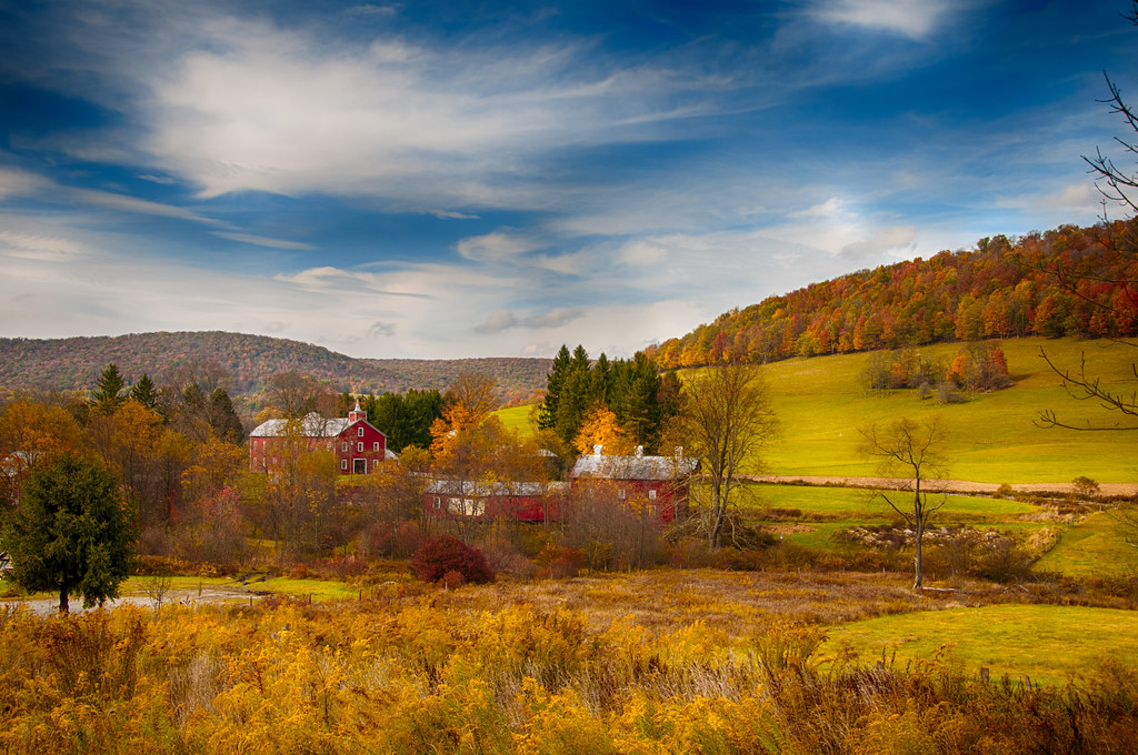
West Virginia in the Fall
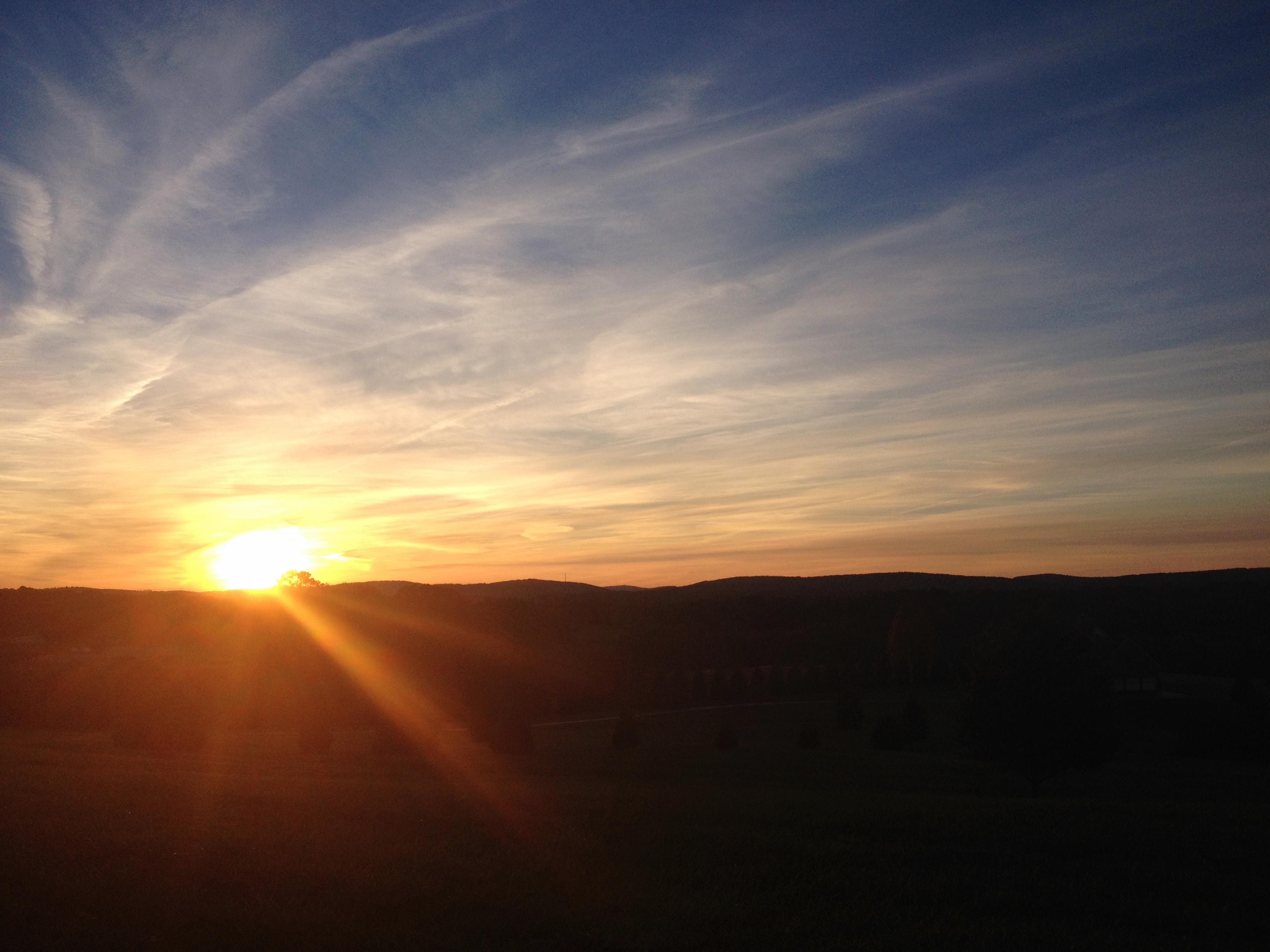
Oakland MD ~ sunset sky - HCS!
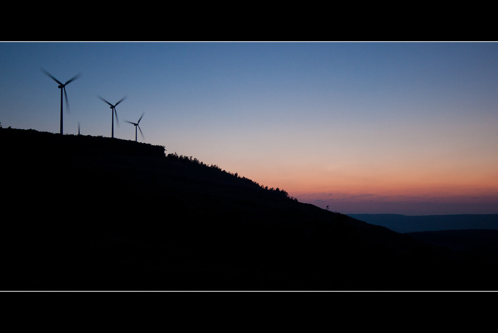
Wind Turbines on the Ridge

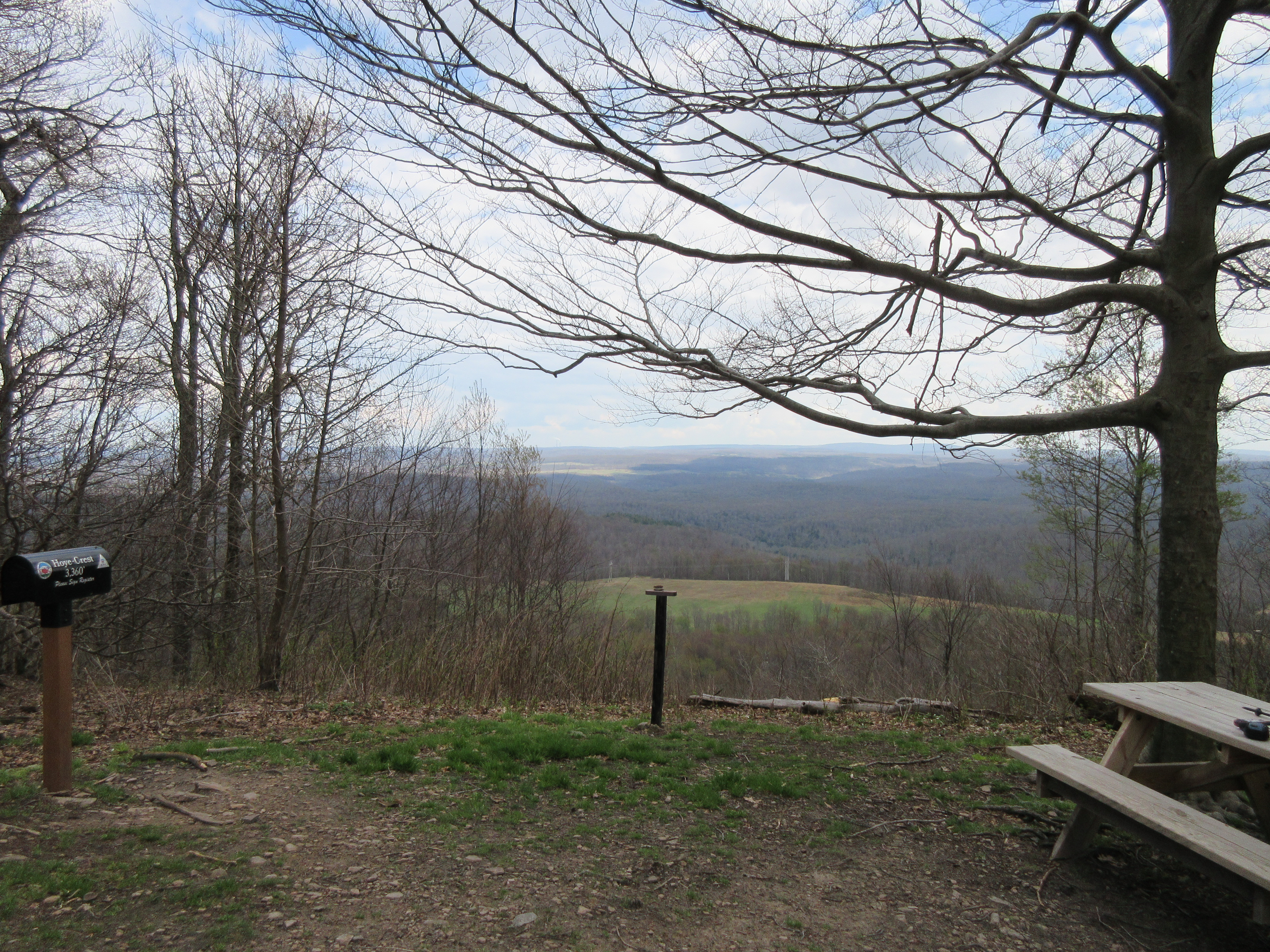
Hoye-Crest ~ Highest point in Maryland
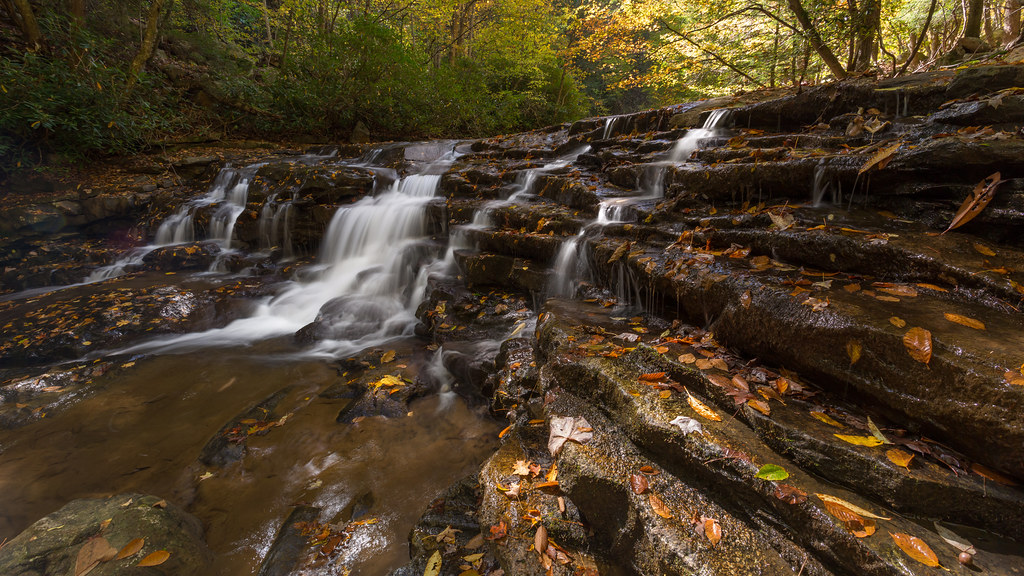
A Fall View at Laurel Falls

View to the south from Backbone Mt.
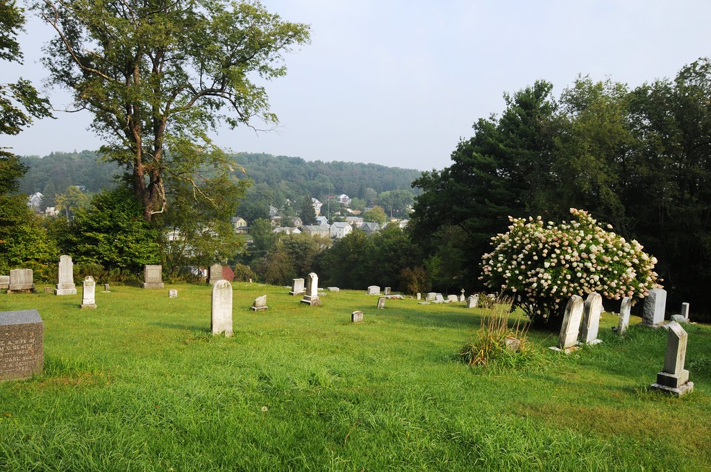
View of Oakland from the cemetery
Backbone Mountain, 2018_05_08

View to the south from Hoye-Crest
George Washington Hwy, Oakland, MD, USA Karte
Suchen Sie einen anderen Ort
Nahe Plätze
56 White Church Steyer Rd, Oakland, MD, USA
White Church Steyer Rd, Oakland, MD, USA
White Church Steyer Rd, Oakland, MD, USA
Lady Slipper Ln, Oakland, MD, USA
George Washington Hwy, Oakland, MD, USA
Steyer Mine Rd, Oakland, MD, USA
8, Red House, MD, USA
Mount Storm, Mt Storm, WV, USA
Bismarck Road, Bismarck Rd, Union, WV, USA
Backbone Drive, Backbone Dr, Oakland, MD, USA
Mount Storm Lake, Union, WV, USA
Davis, WV, USA
HORSE SHOE RN, WV, USA
Horse Shoe Run, WV, USA
Turner Douglas Rd, Terra Alta, WV, USA
Eglon, WV, USA
Canaan Valley, Davis, WV, USA
George Washington Highway, George Washington Hwy, West Virginia, USA
Union, WV, USA
Slaubaugh Rd, Eglon, WV, USA
Letzte Suche
- Red Dog Mine, AK, USA Sonnenaufgang Sonnenuntergang Zeiten
- Am Bahnhof, Am bhf, Borken, Germany Sonnenaufgang Sonnenuntergang Zeiten
- 4th St E, Sonoma, CA, USA Sonnenaufgang Sonnenuntergang Zeiten
- Oakland Ave, Williamsport, PA, USA Sonnenaufgang Sonnenuntergang Zeiten
- Via Roma, Pieranica CR, Italien Sonnenaufgang Sonnenuntergang Zeiten
- Glockenturm, Grad, Dubrovnik, Kroatien Sonnenaufgang Sonnenuntergang Zeiten
- Trelew, Chubut Province, Argentina Sonnenaufgang Sonnenuntergang Zeiten
- Hartfords Bluff Cir, Mt Pleasant, SC, USA Sonnenaufgang Sonnenuntergang Zeiten
- Kita-ku, Kumamoto, Präfektur Kumamoto, Japan Sonnenaufgang Sonnenuntergang Zeiten
- Pingtan Island, Pingtan County, Fuzhou, China Sonnenaufgang Sonnenuntergang Zeiten