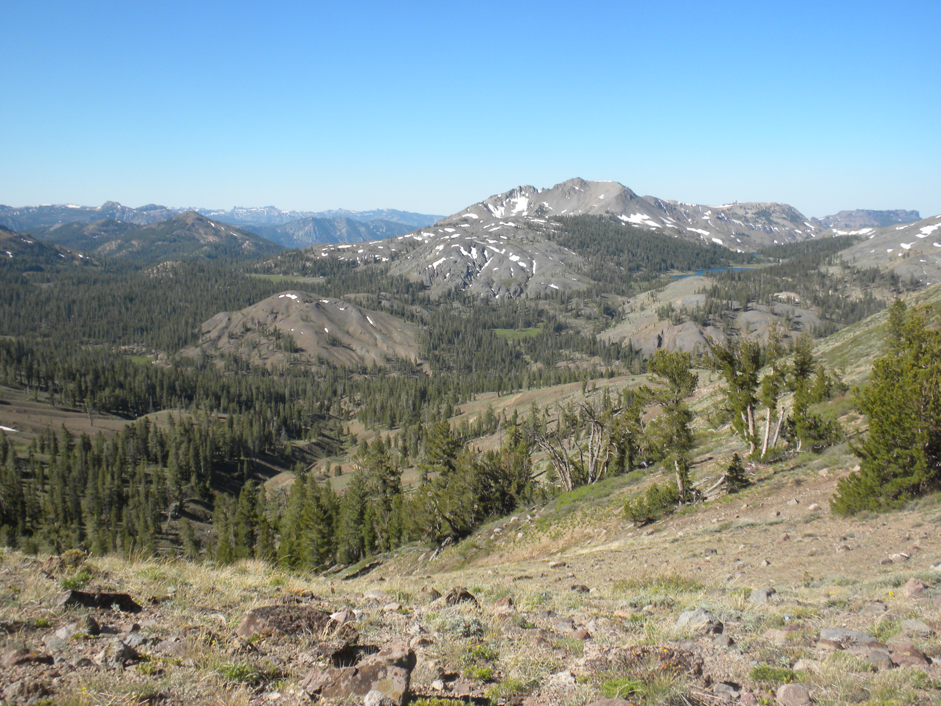
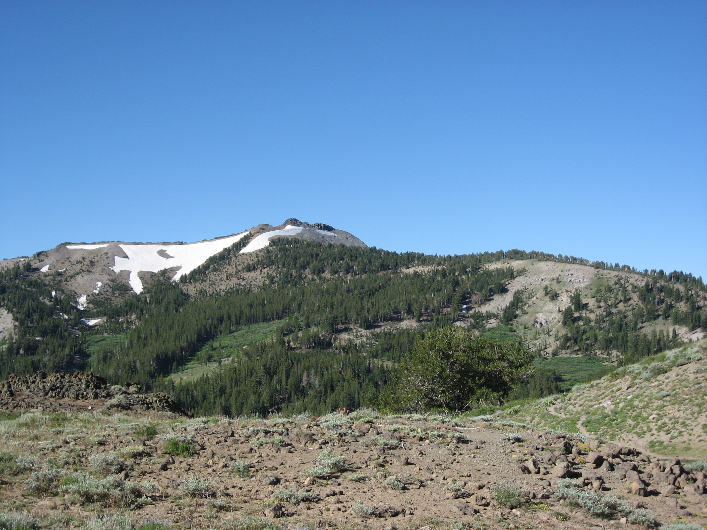
Folger Peak, California, USA Sonnenaufgang Sonnenuntergang Zeiten
Location: USA > Kalifornien > Arnold >
Zeitzone:
America/Los_Angeles
Ortszeit:
2025-06-17 08:56:00
Länge:
-119.8154571
Breite:
38.4957426
Sonnenaufgang Heute:
05:34:48 AM
Sonnenuntergang Heute:
08:25:56 PM
Tageslänge heute:
14h 51m 8s
Sonnenaufgang morgen:
05:34:57 AM
Sonnenuntergang Morgen:
08:26:14 PM
Tageslänge von morgen:
14h 51m 17s
Alle Termine anzeigen
| Datum | Sonnenaufgang | Sonnenuntergang | Tageslänge |
|---|---|---|---|
| 2025-01-01 | 07:16:47 AM | 04:50:11 PM | 9h 33m 24s |
| 2025-01-02 | 07:16:51 AM | 04:51:02 PM | 9h 34m 11s |
| 2025-01-03 | 07:16:54 AM | 04:51:54 PM | 9h 35m 0s |
| 2025-01-04 | 07:16:54 AM | 04:52:47 PM | 9h 35m 53s |
| 2025-01-05 | 07:16:52 AM | 04:53:42 PM | 9h 36m 50s |
| 2025-01-06 | 07:16:47 AM | 04:54:37 PM | 9h 37m 50s |
| 2025-01-07 | 07:16:41 AM | 04:55:34 PM | 9h 38m 53s |
| 2025-01-08 | 07:16:33 AM | 04:56:32 PM | 9h 39m 59s |
| 2025-01-09 | 07:16:22 AM | 04:57:31 PM | 9h 41m 9s |
| 2025-01-10 | 07:16:10 AM | 04:58:31 PM | 9h 42m 21s |
| 2025-01-11 | 07:15:55 AM | 04:59:31 PM | 9h 43m 36s |
| 2025-01-12 | 07:15:38 AM | 05:00:33 PM | 9h 44m 55s |
| 2025-01-13 | 07:15:19 AM | 05:01:35 PM | 9h 46m 16s |
| 2025-01-14 | 07:14:58 AM | 05:02:38 PM | 9h 47m 40s |
| 2025-01-15 | 07:14:35 AM | 05:03:42 PM | 9h 49m 7s |
| 2025-01-16 | 07:14:10 AM | 05:04:47 PM | 9h 50m 37s |
| 2025-01-17 | 07:13:43 AM | 05:05:52 PM | 9h 52m 9s |
| 2025-01-18 | 07:13:14 AM | 05:06:57 PM | 9h 53m 43s |
| 2025-01-19 | 07:12:43 AM | 05:08:03 PM | 9h 55m 20s |
| 2025-01-20 | 07:12:10 AM | 05:09:10 PM | 9h 57m 0s |
| 2025-01-21 | 07:11:35 AM | 05:10:16 PM | 9h 58m 41s |
| 2025-01-22 | 07:10:58 AM | 05:11:24 PM | 10h 0m 26s |
| 2025-01-23 | 07:10:20 AM | 05:12:31 PM | 10h 2m 11s |
| 2025-01-24 | 07:09:39 AM | 05:13:39 PM | 10h 4m 0s |
| 2025-01-25 | 07:08:57 AM | 05:14:47 PM | 10h 5m 50s |
| 2025-01-26 | 07:08:12 AM | 05:15:55 PM | 10h 7m 43s |
| 2025-01-27 | 07:07:26 AM | 05:17:04 PM | 10h 9m 38s |
| 2025-01-28 | 07:06:39 AM | 05:18:12 PM | 10h 11m 33s |
| 2025-01-29 | 07:05:49 AM | 05:19:21 PM | 10h 13m 32s |
| 2025-01-30 | 07:04:58 AM | 05:20:29 PM | 10h 15m 31s |
| 2025-01-31 | 07:04:05 AM | 05:21:38 PM | 10h 17m 33s |
| 2025-02-01 | 07:03:11 AM | 05:22:47 PM | 10h 19m 36s |
| 2025-02-02 | 07:02:15 AM | 05:23:55 PM | 10h 21m 40s |
| 2025-02-03 | 07:01:17 AM | 05:25:04 PM | 10h 23m 47s |
| 2025-02-04 | 07:00:18 AM | 05:26:12 PM | 10h 25m 54s |
| 2025-02-05 | 06:59:18 AM | 05:27:21 PM | 10h 28m 3s |
| 2025-02-06 | 06:58:16 AM | 05:28:29 PM | 10h 30m 13s |
| 2025-02-07 | 06:57:12 AM | 05:29:37 PM | 10h 32m 25s |
| 2025-02-08 | 06:56:07 AM | 05:30:45 PM | 10h 34m 38s |
| 2025-02-09 | 06:55:01 AM | 05:31:53 PM | 10h 36m 52s |
| 2025-02-10 | 06:53:54 AM | 05:33:00 PM | 10h 39m 6s |
| 2025-02-11 | 06:52:45 AM | 05:34:07 PM | 10h 41m 22s |
| 2025-02-12 | 06:51:35 AM | 05:35:14 PM | 10h 43m 39s |
| 2025-02-13 | 06:50:24 AM | 05:36:21 PM | 10h 45m 57s |
| 2025-02-14 | 06:49:11 AM | 05:37:28 PM | 10h 48m 17s |
| 2025-02-15 | 06:47:57 AM | 05:38:34 PM | 10h 50m 37s |
| 2025-02-16 | 06:46:43 AM | 05:39:40 PM | 10h 52m 57s |
| 2025-02-17 | 06:45:27 AM | 05:40:45 PM | 10h 55m 18s |
| 2025-02-18 | 06:44:10 AM | 05:41:51 PM | 10h 57m 41s |
| 2025-02-19 | 06:42:52 AM | 05:42:56 PM | 11h 0m 4s |
| 2025-02-20 | 06:41:33 AM | 05:44:00 PM | 11h 2m 27s |
| 2025-02-21 | 06:40:13 AM | 05:45:05 PM | 11h 4m 52s |
| 2025-02-22 | 06:38:53 AM | 05:46:09 PM | 11h 7m 16s |
| 2025-02-23 | 06:37:31 AM | 05:47:13 PM | 11h 9m 42s |
| 2025-02-24 | 06:36:09 AM | 05:48:16 PM | 11h 12m 7s |
| 2025-02-25 | 06:34:45 AM | 05:49:19 PM | 11h 14m 34s |
| 2025-02-26 | 06:33:21 AM | 05:50:22 PM | 11h 17m 1s |
| 2025-02-27 | 06:31:56 AM | 05:51:25 PM | 11h 19m 29s |
| 2025-02-28 | 06:30:31 AM | 05:52:27 PM | 11h 21m 56s |
| 2025-03-01 | 06:29:05 AM | 05:53:29 PM | 11h 24m 24s |
| 2025-03-02 | 06:27:38 AM | 05:54:30 PM | 11h 26m 52s |
| 2025-03-03 | 06:26:10 AM | 05:55:32 PM | 11h 29m 22s |
| 2025-03-04 | 06:24:42 AM | 05:56:33 PM | 11h 31m 51s |
| 2025-03-05 | 06:23:13 AM | 05:57:34 PM | 11h 34m 21s |
| 2025-03-06 | 06:21:44 AM | 05:58:34 PM | 11h 36m 50s |
| 2025-03-07 | 06:20:15 AM | 05:59:34 PM | 11h 39m 19s |
| 2025-03-08 | 06:18:44 AM | 06:00:34 PM | 11h 41m 50s |
| 2025-03-09 | 07:17:18 AM | 07:01:31 PM | 11h 44m 13s |
| 2025-03-10 | 07:15:47 AM | 07:02:31 PM | 11h 46m 44s |
| 2025-03-11 | 07:14:15 AM | 07:03:30 PM | 11h 49m 15s |
| 2025-03-12 | 07:12:44 AM | 07:04:29 PM | 11h 51m 45s |
| 2025-03-13 | 07:11:12 AM | 07:05:28 PM | 11h 54m 16s |
| 2025-03-14 | 07:09:40 AM | 07:06:26 PM | 11h 56m 46s |
| 2025-03-15 | 07:08:07 AM | 07:07:25 PM | 11h 59m 18s |
| 2025-03-16 | 07:06:34 AM | 07:08:23 PM | 12h 1m 49s |
| 2025-03-17 | 07:05:02 AM | 07:09:21 PM | 12h 4m 19s |
| 2025-03-18 | 07:03:29 AM | 07:10:19 PM | 12h 6m 50s |
| 2025-03-19 | 07:01:55 AM | 07:11:17 PM | 12h 9m 22s |
| 2025-03-20 | 07:00:22 AM | 07:12:14 PM | 12h 11m 52s |
| 2025-03-21 | 06:58:49 AM | 07:13:12 PM | 12h 14m 23s |
| 2025-03-22 | 06:57:16 AM | 07:14:09 PM | 12h 16m 53s |
| 2025-03-23 | 06:55:42 AM | 07:15:06 PM | 12h 19m 24s |
| 2025-03-24 | 06:54:09 AM | 07:16:03 PM | 12h 21m 54s |
| 2025-03-25 | 06:52:36 AM | 07:17:00 PM | 12h 24m 24s |
| 2025-03-26 | 06:51:03 AM | 07:17:57 PM | 12h 26m 54s |
| 2025-03-27 | 06:49:29 AM | 07:18:54 PM | 12h 29m 25s |
| 2025-03-28 | 06:47:57 AM | 07:19:51 PM | 12h 31m 54s |
| 2025-03-29 | 06:46:24 AM | 07:20:48 PM | 12h 34m 24s |
| 2025-03-30 | 06:44:51 AM | 07:21:45 PM | 12h 36m 54s |
| 2025-03-31 | 06:43:19 AM | 07:22:41 PM | 12h 39m 22s |
| 2025-04-01 | 06:41:47 AM | 07:23:38 PM | 12h 41m 51s |
| 2025-04-02 | 06:40:15 AM | 07:24:35 PM | 12h 44m 20s |
| 2025-04-03 | 06:38:44 AM | 07:25:31 PM | 12h 46m 47s |
| 2025-04-04 | 06:37:13 AM | 07:26:28 PM | 12h 49m 15s |
| 2025-04-05 | 06:35:42 AM | 07:27:24 PM | 12h 51m 42s |
| 2025-04-06 | 06:34:12 AM | 07:28:21 PM | 12h 54m 9s |
| 2025-04-07 | 06:32:42 AM | 07:29:18 PM | 12h 56m 36s |
| 2025-04-08 | 06:31:13 AM | 07:30:14 PM | 12h 59m 1s |
| 2025-04-09 | 06:29:44 AM | 07:31:11 PM | 13h 1m 27s |
| 2025-04-10 | 06:28:16 AM | 07:32:08 PM | 13h 3m 52s |
| 2025-04-11 | 06:26:48 AM | 07:33:05 PM | 13h 6m 17s |
| 2025-04-12 | 06:25:21 AM | 07:34:01 PM | 13h 8m 40s |
| 2025-04-13 | 06:23:55 AM | 07:34:58 PM | 13h 11m 3s |
| 2025-04-14 | 06:22:29 AM | 07:35:55 PM | 13h 13m 26s |
| 2025-04-15 | 06:21:04 AM | 07:36:52 PM | 13h 15m 48s |
| 2025-04-16 | 06:19:39 AM | 07:37:49 PM | 13h 18m 10s |
| 2025-04-17 | 06:18:16 AM | 07:38:46 PM | 13h 20m 30s |
| 2025-04-18 | 06:16:53 AM | 07:39:43 PM | 13h 22m 50s |
| 2025-04-19 | 06:15:31 AM | 07:40:40 PM | 13h 25m 9s |
| 2025-04-20 | 06:14:10 AM | 07:41:37 PM | 13h 27m 27s |
| 2025-04-21 | 06:12:49 AM | 07:42:34 PM | 13h 29m 45s |
| 2025-04-22 | 06:11:30 AM | 07:43:31 PM | 13h 32m 1s |
| 2025-04-23 | 06:10:11 AM | 07:44:28 PM | 13h 34m 17s |
| 2025-04-24 | 06:08:54 AM | 07:45:25 PM | 13h 36m 31s |
| 2025-04-25 | 06:07:37 AM | 07:46:22 PM | 13h 38m 45s |
| 2025-04-26 | 06:06:22 AM | 07:47:19 PM | 13h 40m 57s |
| 2025-04-27 | 06:05:07 AM | 07:48:16 PM | 13h 43m 9s |
| 2025-04-28 | 06:03:54 AM | 07:49:13 PM | 13h 45m 19s |
| 2025-04-29 | 06:02:42 AM | 07:50:10 PM | 13h 47m 28s |
| 2025-04-30 | 06:01:31 AM | 07:51:07 PM | 13h 49m 36s |
| 2025-05-01 | 06:00:21 AM | 07:52:04 PM | 13h 51m 43s |
| 2025-05-02 | 05:59:12 AM | 07:53:01 PM | 13h 53m 49s |
| 2025-05-03 | 05:58:04 AM | 07:53:57 PM | 13h 55m 53s |
| 2025-05-04 | 05:56:58 AM | 07:54:53 PM | 13h 57m 55s |
| 2025-05-05 | 05:55:53 AM | 07:55:50 PM | 13h 59m 57s |
| 2025-05-06 | 05:54:50 AM | 07:56:46 PM | 14h 1m 56s |
| 2025-05-07 | 05:53:47 AM | 07:57:41 PM | 14h 3m 54s |
| 2025-05-08 | 05:52:46 AM | 07:58:37 PM | 14h 5m 51s |
| 2025-05-09 | 05:51:47 AM | 07:59:32 PM | 14h 7m 45s |
| 2025-05-10 | 05:50:49 AM | 08:00:27 PM | 14h 9m 38s |
| 2025-05-11 | 05:49:52 AM | 08:01:22 PM | 14h 11m 30s |
| 2025-05-12 | 05:48:57 AM | 08:02:16 PM | 14h 13m 19s |
| 2025-05-13 | 05:48:03 AM | 08:03:10 PM | 14h 15m 7s |
| 2025-05-14 | 05:47:11 AM | 08:04:04 PM | 14h 16m 53s |
| 2025-05-15 | 05:46:21 AM | 08:04:57 PM | 14h 18m 36s |
| 2025-05-16 | 05:45:32 AM | 08:05:49 PM | 14h 20m 17s |
| 2025-05-17 | 05:44:45 AM | 08:06:42 PM | 14h 21m 57s |
| 2025-05-18 | 05:43:59 AM | 08:07:33 PM | 14h 23m 34s |
| 2025-05-19 | 05:43:15 AM | 08:08:24 PM | 14h 25m 9s |
| 2025-05-20 | 05:42:32 AM | 08:09:15 PM | 14h 26m 43s |
| 2025-05-21 | 05:41:52 AM | 08:10:05 PM | 14h 28m 13s |
| 2025-05-22 | 05:41:13 AM | 08:10:54 PM | 14h 29m 41s |
| 2025-05-23 | 05:40:36 AM | 08:11:42 PM | 14h 31m 6s |
| 2025-05-24 | 05:40:00 AM | 08:12:30 PM | 14h 32m 30s |
| 2025-05-25 | 05:39:26 AM | 08:13:17 PM | 14h 33m 51s |
| 2025-05-26 | 05:38:54 AM | 08:14:03 PM | 14h 35m 9s |
| 2025-05-27 | 05:38:24 AM | 08:14:48 PM | 14h 36m 24s |
| 2025-05-28 | 05:37:56 AM | 08:15:32 PM | 14h 37m 36s |
| 2025-05-29 | 05:37:29 AM | 08:16:16 PM | 14h 38m 47s |
| 2025-05-30 | 05:37:05 AM | 08:16:58 PM | 14h 39m 53s |
| 2025-05-31 | 05:36:42 AM | 08:17:39 PM | 14h 40m 57s |
| 2025-06-01 | 05:36:21 AM | 08:18:20 PM | 14h 41m 59s |
| 2025-06-02 | 05:36:01 AM | 08:18:59 PM | 14h 42m 58s |
| 2025-06-03 | 05:35:44 AM | 08:19:37 PM | 14h 43m 53s |
| 2025-06-04 | 05:35:28 AM | 08:20:14 PM | 14h 44m 46s |
| 2025-06-05 | 05:35:15 AM | 08:20:49 PM | 14h 45m 34s |
| 2025-06-06 | 05:35:03 AM | 08:21:24 PM | 14h 46m 21s |
| 2025-06-07 | 05:34:53 AM | 08:21:57 PM | 14h 47m 4s |
| 2025-06-08 | 05:34:45 AM | 08:22:28 PM | 14h 47m 43s |
| 2025-06-09 | 05:34:38 AM | 08:22:59 PM | 14h 48m 21s |
| 2025-06-10 | 05:34:34 AM | 08:23:28 PM | 14h 48m 54s |
| 2025-06-11 | 05:34:31 AM | 08:23:55 PM | 14h 49m 24s |
| 2025-06-12 | 05:34:31 AM | 08:24:21 PM | 14h 49m 50s |
| 2025-06-13 | 05:34:32 AM | 08:24:45 PM | 14h 50m 13s |
| 2025-06-14 | 05:34:34 AM | 08:25:08 PM | 14h 50m 34s |
| 2025-06-15 | 05:34:39 AM | 08:25:30 PM | 14h 50m 51s |
| 2025-06-16 | 05:34:45 AM | 08:25:49 PM | 14h 51m 4s |
| 2025-06-17 | 05:34:53 AM | 08:26:08 PM | 14h 51m 15s |
| 2025-06-18 | 05:35:03 AM | 08:26:24 PM | 14h 51m 21s |
| 2025-06-19 | 05:35:14 AM | 08:26:39 PM | 14h 51m 25s |
| 2025-06-20 | 05:35:27 AM | 08:26:52 PM | 14h 51m 25s |
| 2025-06-21 | 05:35:42 AM | 08:27:03 PM | 14h 51m 21s |
| 2025-06-22 | 05:35:59 AM | 08:27:13 PM | 14h 51m 14s |
| 2025-06-23 | 05:36:17 AM | 08:27:20 PM | 14h 51m 3s |
| 2025-06-24 | 05:36:36 AM | 08:27:26 PM | 14h 50m 50s |
| 2025-06-25 | 05:36:57 AM | 08:27:30 PM | 14h 50m 33s |
| 2025-06-26 | 05:37:20 AM | 08:27:33 PM | 14h 50m 13s |
| 2025-06-27 | 05:37:44 AM | 08:27:33 PM | 14h 49m 49s |
| 2025-06-28 | 05:38:09 AM | 08:27:32 PM | 14h 49m 23s |
| 2025-06-29 | 05:38:36 AM | 08:27:28 PM | 14h 48m 52s |
| 2025-06-30 | 05:39:04 AM | 08:27:23 PM | 14h 48m 19s |
| 2025-07-01 | 05:39:34 AM | 08:27:16 PM | 14h 47m 42s |
| 2025-07-02 | 05:40:05 AM | 08:27:07 PM | 14h 47m 2s |
| 2025-07-03 | 05:40:37 AM | 08:26:57 PM | 14h 46m 20s |
| 2025-07-04 | 05:41:11 AM | 08:26:44 PM | 14h 45m 33s |
| 2025-07-05 | 05:41:45 AM | 08:26:29 PM | 14h 44m 44s |
| 2025-07-06 | 05:42:21 AM | 08:26:13 PM | 14h 43m 52s |
| 2025-07-07 | 05:42:58 AM | 08:25:55 PM | 14h 42m 57s |
| 2025-07-08 | 05:43:36 AM | 08:25:34 PM | 14h 41m 58s |
| 2025-07-09 | 05:44:14 AM | 08:25:12 PM | 14h 40m 58s |
| 2025-07-10 | 05:44:54 AM | 08:24:48 PM | 14h 39m 54s |
| 2025-07-11 | 05:45:35 AM | 08:24:22 PM | 14h 38m 47s |
| 2025-07-12 | 05:46:17 AM | 08:23:55 PM | 14h 37m 38s |
| 2025-07-13 | 05:47:00 AM | 08:23:25 PM | 14h 36m 25s |
| 2025-07-14 | 05:47:43 AM | 08:22:54 PM | 14h 35m 11s |
| 2025-07-15 | 05:48:27 AM | 08:22:20 PM | 14h 33m 53s |
| 2025-07-16 | 05:49:12 AM | 08:21:45 PM | 14h 32m 33s |
| 2025-07-17 | 05:49:58 AM | 08:21:09 PM | 14h 31m 11s |
| 2025-07-18 | 05:50:45 AM | 08:20:30 PM | 14h 29m 45s |
| 2025-07-19 | 05:51:32 AM | 08:19:50 PM | 14h 28m 18s |
| 2025-07-20 | 05:52:19 AM | 08:19:08 PM | 14h 26m 49s |
| 2025-07-21 | 05:53:07 AM | 08:18:24 PM | 14h 25m 17s |
| 2025-07-22 | 05:53:56 AM | 08:17:39 PM | 14h 23m 43s |
| 2025-07-23 | 05:54:45 AM | 08:16:51 PM | 14h 22m 6s |
| 2025-07-24 | 05:55:35 AM | 08:16:03 PM | 14h 20m 28s |
| 2025-07-25 | 05:56:25 AM | 08:15:12 PM | 14h 18m 47s |
| 2025-07-26 | 05:57:16 AM | 08:14:20 PM | 14h 17m 4s |
| 2025-07-27 | 05:58:07 AM | 08:13:27 PM | 14h 15m 20s |
| 2025-07-28 | 05:58:58 AM | 08:12:32 PM | 14h 13m 34s |
| 2025-07-29 | 05:59:50 AM | 08:11:35 PM | 14h 11m 45s |
| 2025-07-30 | 06:00:41 AM | 08:10:37 PM | 14h 9m 56s |
| 2025-07-31 | 06:01:33 AM | 08:09:37 PM | 14h 8m 4s |
| 2025-08-01 | 06:02:26 AM | 08:08:36 PM | 14h 6m 10s |
| 2025-08-02 | 06:03:18 AM | 08:07:34 PM | 14h 4m 16s |
| 2025-08-03 | 06:04:11 AM | 08:06:30 PM | 14h 2m 19s |
| 2025-08-04 | 06:05:04 AM | 08:05:25 PM | 14h 0m 21s |
| 2025-08-05 | 06:05:57 AM | 08:04:18 PM | 13h 58m 21s |
| 2025-08-06 | 06:06:50 AM | 08:03:11 PM | 13h 56m 21s |
| 2025-08-07 | 06:07:43 AM | 08:02:01 PM | 13h 54m 18s |
| 2025-08-08 | 06:08:36 AM | 08:00:51 PM | 13h 52m 15s |
| 2025-08-09 | 06:09:30 AM | 07:59:40 PM | 13h 50m 10s |
| 2025-08-10 | 06:10:23 AM | 07:58:27 PM | 13h 48m 4s |
| 2025-08-11 | 06:11:17 AM | 07:57:13 PM | 13h 45m 56s |
| 2025-08-12 | 06:12:10 AM | 07:55:58 PM | 13h 43m 48s |
| 2025-08-13 | 06:13:03 AM | 07:54:42 PM | 13h 41m 39s |
| 2025-08-14 | 06:13:57 AM | 07:53:25 PM | 13h 39m 28s |
| 2025-08-15 | 06:14:50 AM | 07:52:06 PM | 13h 37m 16s |
| 2025-08-16 | 06:15:44 AM | 07:50:47 PM | 13h 35m 3s |
| 2025-08-17 | 06:16:37 AM | 07:49:27 PM | 13h 32m 50s |
| 2025-08-18 | 06:17:30 AM | 07:48:06 PM | 13h 30m 36s |
| 2025-08-19 | 06:18:23 AM | 07:46:44 PM | 13h 28m 21s |
| 2025-08-20 | 06:19:17 AM | 07:45:21 PM | 13h 26m 4s |
| 2025-08-21 | 06:20:10 AM | 07:43:57 PM | 13h 23m 47s |
| 2025-08-22 | 06:21:03 AM | 07:42:33 PM | 13h 21m 30s |
| 2025-08-23 | 06:21:56 AM | 07:41:07 PM | 13h 19m 11s |
| 2025-08-24 | 06:22:49 AM | 07:39:41 PM | 13h 16m 52s |
| 2025-08-25 | 06:23:42 AM | 07:38:14 PM | 13h 14m 32s |
| 2025-08-26 | 06:24:35 AM | 07:36:47 PM | 13h 12m 12s |
| 2025-08-27 | 06:25:27 AM | 07:35:18 PM | 13h 9m 51s |
| 2025-08-28 | 06:26:20 AM | 07:33:49 PM | 13h 7m 29s |
| 2025-08-29 | 06:27:13 AM | 07:32:20 PM | 13h 5m 7s |
| 2025-08-30 | 06:28:05 AM | 07:30:50 PM | 13h 2m 45s |
| 2025-08-31 | 06:28:58 AM | 07:29:19 PM | 13h 0m 21s |
| 2025-09-01 | 06:29:50 AM | 07:27:48 PM | 12h 57m 58s |
| 2025-09-02 | 06:30:42 AM | 07:26:16 PM | 12h 55m 34s |
| 2025-09-03 | 06:31:35 AM | 07:24:44 PM | 12h 53m 9s |
| 2025-09-04 | 06:32:27 AM | 07:23:12 PM | 12h 50m 45s |
| 2025-09-05 | 06:33:19 AM | 07:21:39 PM | 12h 48m 20s |
| 2025-09-06 | 06:34:12 AM | 07:20:05 PM | 12h 45m 53s |
| 2025-09-07 | 06:35:04 AM | 07:18:32 PM | 12h 43m 28s |
| 2025-09-08 | 06:35:56 AM | 07:16:58 PM | 12h 41m 2s |
| 2025-09-09 | 06:36:49 AM | 07:15:24 PM | 12h 38m 35s |
| 2025-09-10 | 06:37:41 AM | 07:13:49 PM | 12h 36m 8s |
| 2025-09-11 | 06:38:33 AM | 07:12:14 PM | 12h 33m 41s |
| 2025-09-12 | 06:39:25 AM | 07:10:39 PM | 12h 31m 14s |
| 2025-09-13 | 06:40:18 AM | 07:09:04 PM | 12h 28m 46s |
| 2025-09-14 | 06:41:10 AM | 07:07:29 PM | 12h 26m 19s |
| 2025-09-15 | 06:42:03 AM | 07:05:54 PM | 12h 23m 51s |
| 2025-09-16 | 06:42:55 AM | 07:04:18 PM | 12h 21m 23s |
| 2025-09-17 | 06:43:48 AM | 07:02:43 PM | 12h 18m 55s |
| 2025-09-18 | 06:44:41 AM | 07:01:07 PM | 12h 16m 26s |
| 2025-09-19 | 06:45:33 AM | 06:59:32 PM | 12h 13m 59s |
| 2025-09-20 | 06:46:26 AM | 06:57:56 PM | 12h 11m 30s |
| 2025-09-21 | 06:47:19 AM | 06:56:21 PM | 12h 9m 2s |
| 2025-09-22 | 06:48:13 AM | 06:54:45 PM | 12h 6m 32s |
| 2025-09-23 | 06:49:06 AM | 06:53:10 PM | 12h 4m 4s |
| 2025-09-24 | 06:50:00 AM | 06:51:35 PM | 12h 1m 35s |
| 2025-09-25 | 06:50:53 AM | 06:50:00 PM | 11h 59m 7s |
| 2025-09-26 | 06:51:47 AM | 06:48:26 PM | 11h 56m 39s |
| 2025-09-27 | 06:52:41 AM | 06:46:51 PM | 11h 54m 10s |
| 2025-09-28 | 06:53:36 AM | 06:45:17 PM | 11h 51m 41s |
| 2025-09-29 | 06:54:30 AM | 06:43:43 PM | 11h 49m 13s |
| 2025-09-30 | 06:55:25 AM | 06:42:10 PM | 11h 46m 45s |
| 2025-10-01 | 06:56:20 AM | 06:40:36 PM | 11h 44m 16s |
| 2025-10-02 | 06:57:15 AM | 06:39:04 PM | 11h 41m 49s |
| 2025-10-03 | 06:58:11 AM | 06:37:31 PM | 11h 39m 20s |
| 2025-10-04 | 06:59:06 AM | 06:36:00 PM | 11h 36m 54s |
| 2025-10-05 | 07:00:02 AM | 06:34:28 PM | 11h 34m 26s |
| 2025-10-06 | 07:00:59 AM | 06:32:57 PM | 11h 31m 58s |
| 2025-10-07 | 07:01:55 AM | 06:31:27 PM | 11h 29m 32s |
| 2025-10-08 | 07:02:52 AM | 06:29:57 PM | 11h 27m 5s |
| 2025-10-09 | 07:03:50 AM | 06:28:28 PM | 11h 24m 38s |
| 2025-10-10 | 07:04:47 AM | 06:27:00 PM | 11h 22m 13s |
| 2025-10-11 | 07:05:45 AM | 06:25:32 PM | 11h 19m 47s |
| 2025-10-12 | 07:06:43 AM | 06:24:05 PM | 11h 17m 22s |
| 2025-10-13 | 07:07:42 AM | 06:22:38 PM | 11h 14m 56s |
| 2025-10-14 | 07:08:40 AM | 06:21:13 PM | 11h 12m 33s |
| 2025-10-15 | 07:09:40 AM | 06:19:48 PM | 11h 10m 8s |
| 2025-10-16 | 07:10:39 AM | 06:18:24 PM | 11h 7m 45s |
| 2025-10-17 | 07:11:39 AM | 06:17:01 PM | 11h 5m 22s |
| 2025-10-18 | 07:12:39 AM | 06:15:39 PM | 11h 3m 0s |
| 2025-10-19 | 07:13:40 AM | 06:14:17 PM | 11h 0m 37s |
| 2025-10-20 | 07:14:41 AM | 06:12:57 PM | 10h 58m 16s |
| 2025-10-21 | 07:15:42 AM | 06:11:38 PM | 10h 55m 56s |
| 2025-10-22 | 07:16:44 AM | 06:10:20 PM | 10h 53m 36s |
| 2025-10-23 | 07:17:45 AM | 06:09:02 PM | 10h 51m 17s |
| 2025-10-24 | 07:18:48 AM | 06:07:46 PM | 10h 48m 58s |
| 2025-10-25 | 07:19:50 AM | 06:06:31 PM | 10h 46m 41s |
| 2025-10-26 | 07:20:53 AM | 06:05:18 PM | 10h 44m 25s |
| 2025-10-27 | 07:21:56 AM | 06:04:05 PM | 10h 42m 9s |
| 2025-10-28 | 07:23:00 AM | 06:02:54 PM | 10h 39m 54s |
| 2025-10-29 | 07:24:03 AM | 06:01:44 PM | 10h 37m 41s |
| 2025-10-30 | 07:25:07 AM | 06:00:35 PM | 10h 35m 28s |
| 2025-10-31 | 07:26:11 AM | 05:59:28 PM | 10h 33m 17s |
| 2025-11-01 | 07:27:16 AM | 05:58:22 PM | 10h 31m 6s |
| 2025-11-02 | 06:28:23 AM | 04:57:14 PM | 10h 28m 51s |
| 2025-11-03 | 06:29:28 AM | 04:56:11 PM | 10h 26m 43s |
| 2025-11-04 | 06:30:33 AM | 04:55:10 PM | 10h 24m 37s |
| 2025-11-05 | 06:31:38 AM | 04:54:10 PM | 10h 22m 32s |
| 2025-11-06 | 06:32:44 AM | 04:53:11 PM | 10h 20m 27s |
| 2025-11-07 | 06:33:49 AM | 04:52:14 PM | 10h 18m 25s |
| 2025-11-08 | 06:34:54 AM | 04:51:19 PM | 10h 16m 25s |
| 2025-11-09 | 06:36:00 AM | 04:50:25 PM | 10h 14m 25s |
| 2025-11-10 | 06:37:06 AM | 04:49:33 PM | 10h 12m 27s |
| 2025-11-11 | 06:38:11 AM | 04:48:42 PM | 10h 10m 31s |
| 2025-11-12 | 06:39:17 AM | 04:47:54 PM | 10h 8m 37s |
| 2025-11-13 | 06:40:22 AM | 04:47:07 PM | 10h 6m 45s |
| 2025-11-14 | 06:41:27 AM | 04:46:22 PM | 10h 4m 55s |
| 2025-11-15 | 06:42:33 AM | 04:45:39 PM | 10h 3m 6s |
| 2025-11-16 | 06:43:38 AM | 04:44:57 PM | 10h 1m 19s |
| 2025-11-17 | 06:44:43 AM | 04:44:18 PM | 9h 59m 35s |
| 2025-11-18 | 06:45:47 AM | 04:43:40 PM | 9h 57m 53s |
| 2025-11-19 | 06:46:51 AM | 04:43:05 PM | 9h 56m 14s |
| 2025-11-20 | 06:47:55 AM | 04:42:31 PM | 9h 54m 36s |
| 2025-11-21 | 06:48:59 AM | 04:41:59 PM | 9h 53m 0s |
| 2025-11-22 | 06:50:02 AM | 04:41:29 PM | 9h 51m 27s |
| 2025-11-23 | 06:51:04 AM | 04:41:02 PM | 9h 49m 58s |
| 2025-11-24 | 06:52:06 AM | 04:40:36 PM | 9h 48m 30s |
| 2025-11-25 | 06:53:08 AM | 04:40:13 PM | 9h 47m 5s |
| 2025-11-26 | 06:54:09 AM | 04:39:51 PM | 9h 45m 42s |
| 2025-11-27 | 06:55:09 AM | 04:39:32 PM | 9h 44m 23s |
| 2025-11-28 | 06:56:08 AM | 04:39:15 PM | 9h 43m 7s |
| 2025-11-29 | 06:57:07 AM | 04:38:59 PM | 9h 41m 52s |
| 2025-11-30 | 06:58:05 AM | 04:38:46 PM | 9h 40m 41s |
| 2025-12-01 | 06:59:02 AM | 04:38:35 PM | 9h 39m 33s |
| 2025-12-02 | 06:59:58 AM | 04:38:27 PM | 9h 38m 29s |
| 2025-12-03 | 07:00:53 AM | 04:38:20 PM | 9h 37m 27s |
| 2025-12-04 | 07:01:47 AM | 04:38:16 PM | 9h 36m 29s |
| 2025-12-05 | 07:02:40 AM | 04:38:14 PM | 9h 35m 34s |
| 2025-12-06 | 07:03:32 AM | 04:38:14 PM | 9h 34m 42s |
| 2025-12-07 | 07:04:22 AM | 04:38:16 PM | 9h 33m 54s |
| 2025-12-08 | 07:05:12 AM | 04:38:20 PM | 9h 33m 8s |
| 2025-12-09 | 07:06:00 AM | 04:38:26 PM | 9h 32m 26s |
| 2025-12-10 | 07:06:46 AM | 04:38:35 PM | 9h 31m 49s |
| 2025-12-11 | 07:07:32 AM | 04:38:46 PM | 9h 31m 14s |
| 2025-12-12 | 07:08:15 AM | 04:38:58 PM | 9h 30m 43s |
| 2025-12-13 | 07:08:58 AM | 04:39:13 PM | 9h 30m 15s |
| 2025-12-14 | 07:09:39 AM | 04:39:30 PM | 9h 29m 51s |
| 2025-12-15 | 07:10:18 AM | 04:39:49 PM | 9h 29m 31s |
| 2025-12-16 | 07:10:55 AM | 04:40:10 PM | 9h 29m 15s |
| 2025-12-17 | 07:11:31 AM | 04:40:33 PM | 9h 29m 2s |
| 2025-12-18 | 07:12:05 AM | 04:40:58 PM | 9h 28m 53s |
| 2025-12-19 | 07:12:38 AM | 04:41:25 PM | 9h 28m 47s |
| 2025-12-20 | 07:13:09 AM | 04:41:54 PM | 9h 28m 45s |
| 2025-12-21 | 07:13:37 AM | 04:42:25 PM | 9h 28m 48s |
| 2025-12-22 | 07:14:04 AM | 04:42:58 PM | 9h 28m 54s |
| 2025-12-23 | 07:14:29 AM | 04:43:33 PM | 9h 29m 4s |
| 2025-12-24 | 07:14:53 AM | 04:44:09 PM | 9h 29m 16s |
| 2025-12-25 | 07:15:14 AM | 04:44:47 PM | 9h 29m 33s |
| 2025-12-26 | 07:15:33 AM | 04:45:27 PM | 9h 29m 54s |
| 2025-12-27 | 07:15:50 AM | 04:46:08 PM | 9h 30m 18s |
| 2025-12-28 | 07:16:05 AM | 04:46:51 PM | 9h 30m 46s |
| 2025-12-29 | 07:16:18 AM | 04:47:36 PM | 9h 31m 18s |
| 2025-12-30 | 07:16:30 AM | 04:48:22 PM | 9h 31m 52s |
| 2025-12-31 | 07:16:39 AM | 04:49:10 PM | 9h 32m 31s |
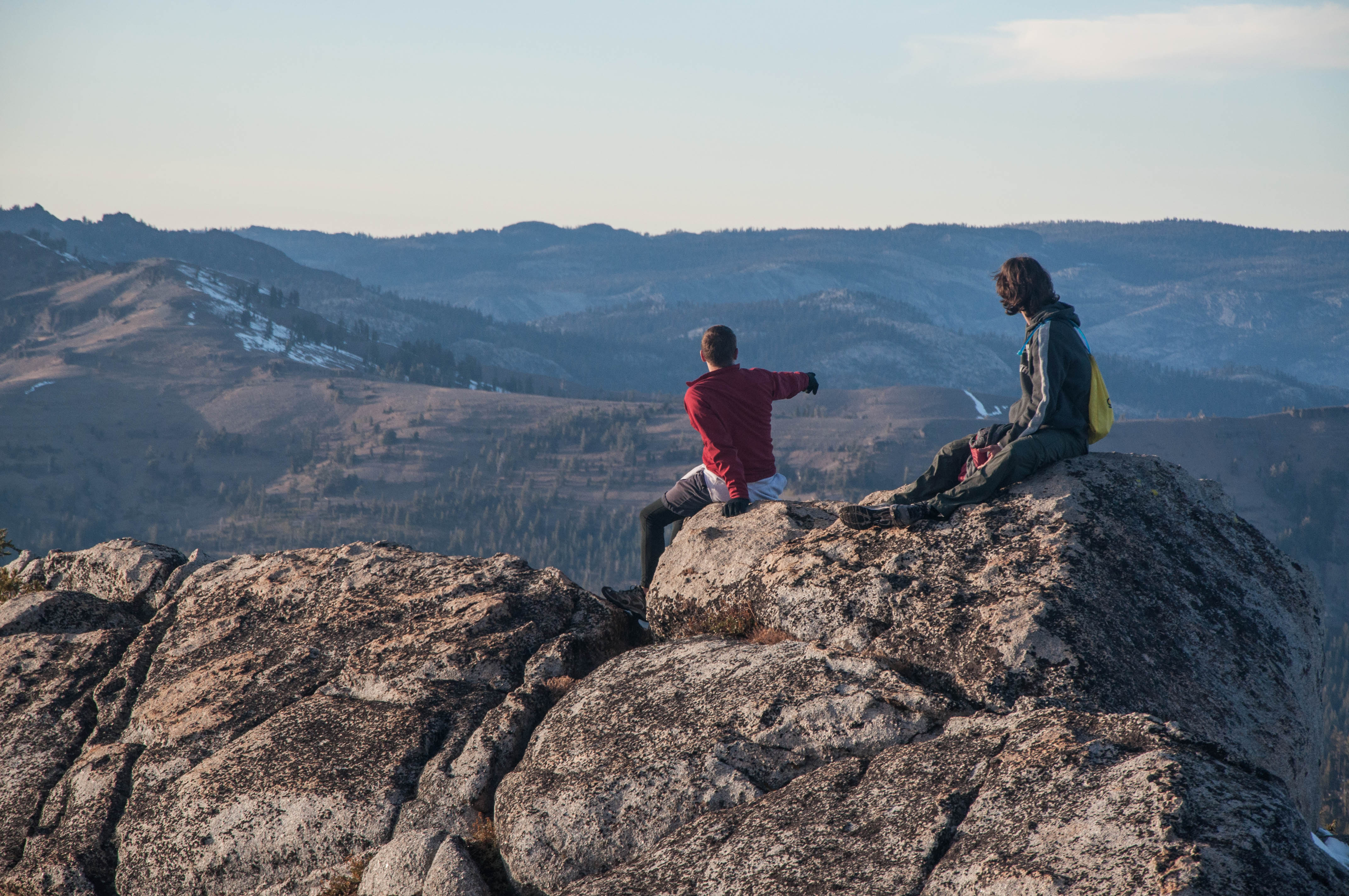
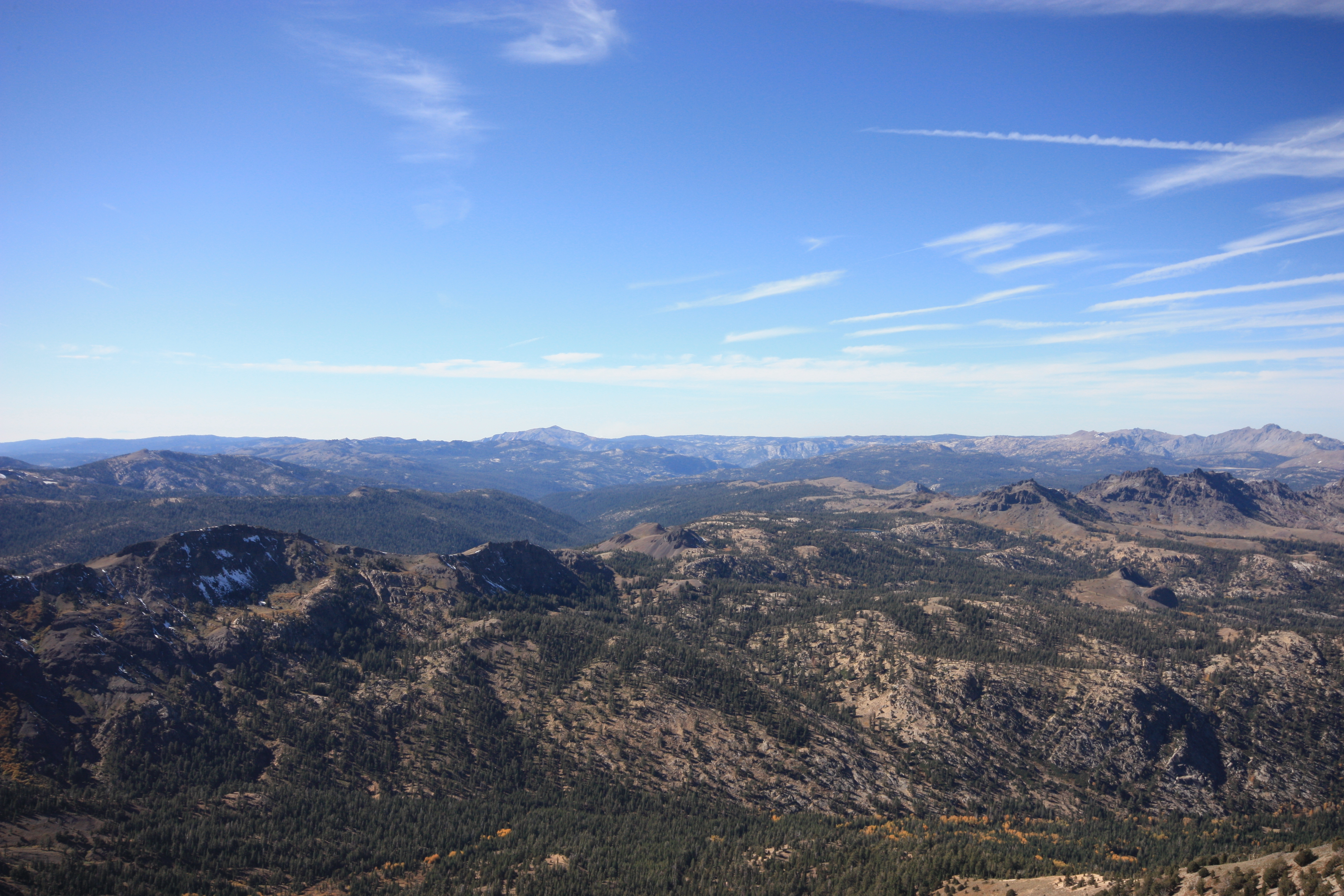
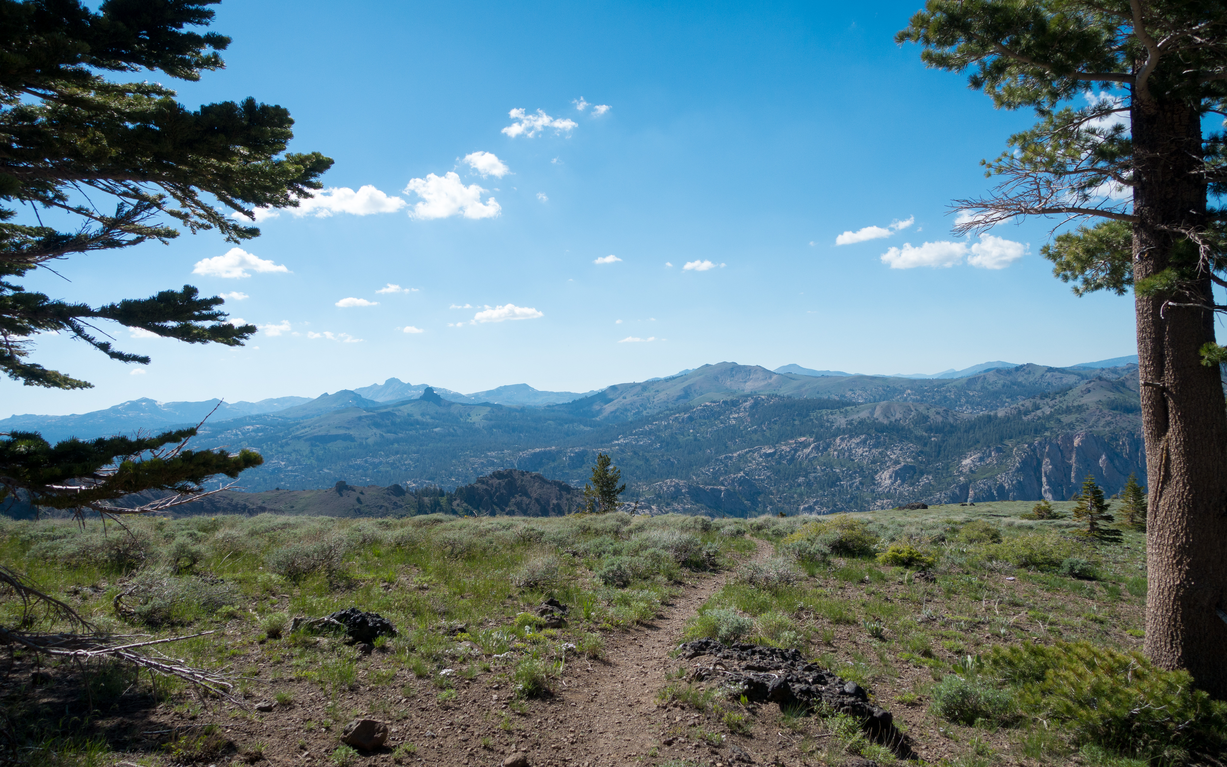
Fotos

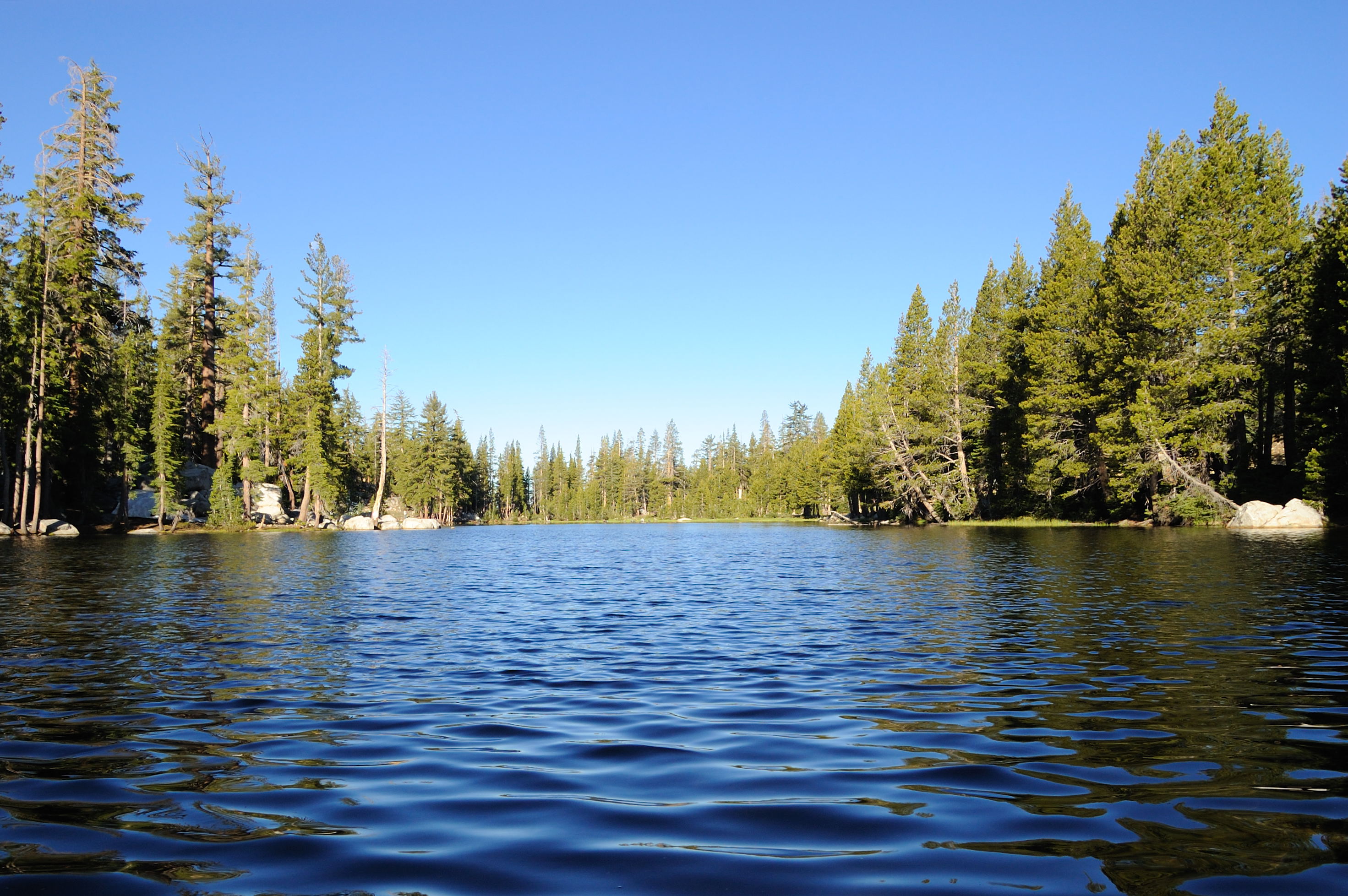
Bull Run Lake Panorama

DSC_0013.jpg

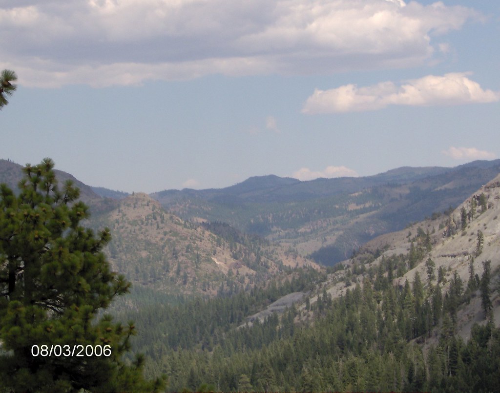
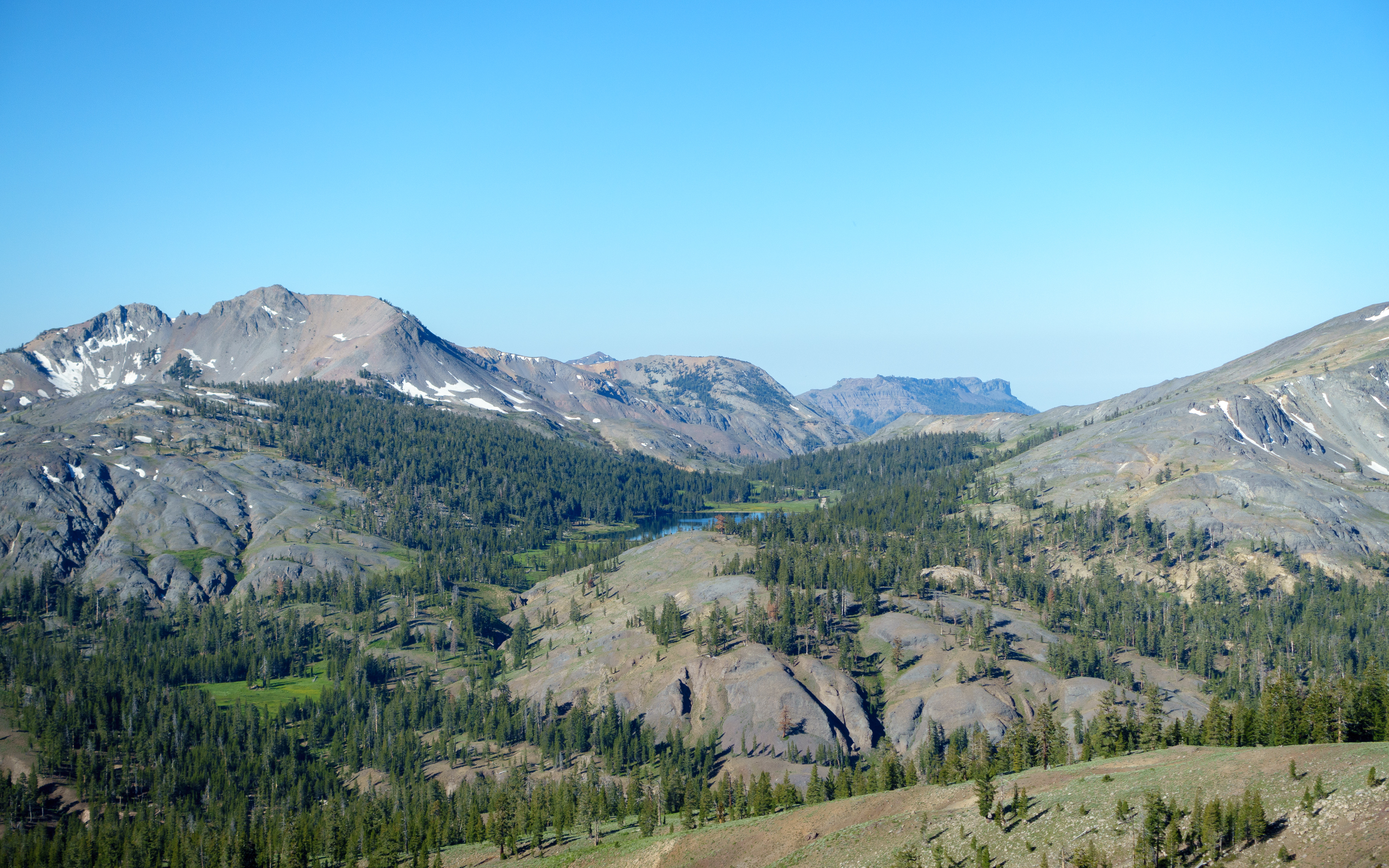
Peaks East of Bull Run Lake
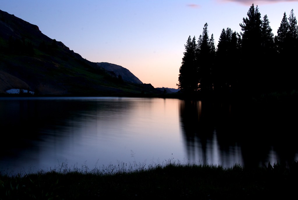
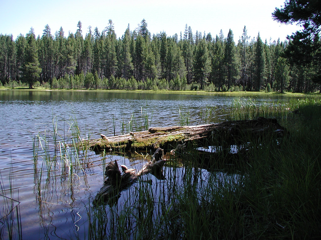
Sunset Lakeside
Lake Alpine - Red Sky
View of Mosquito Lake from down low
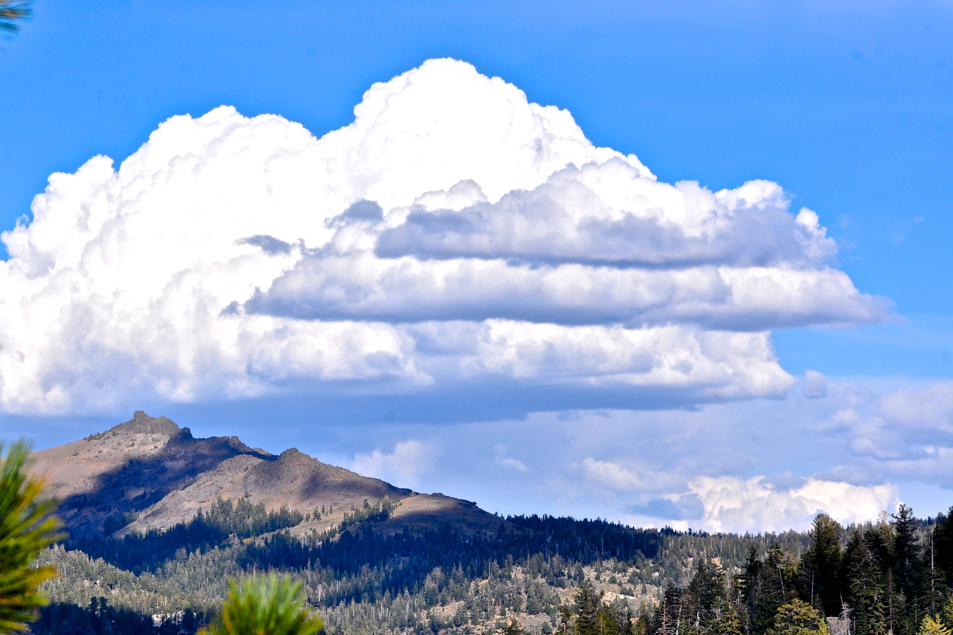
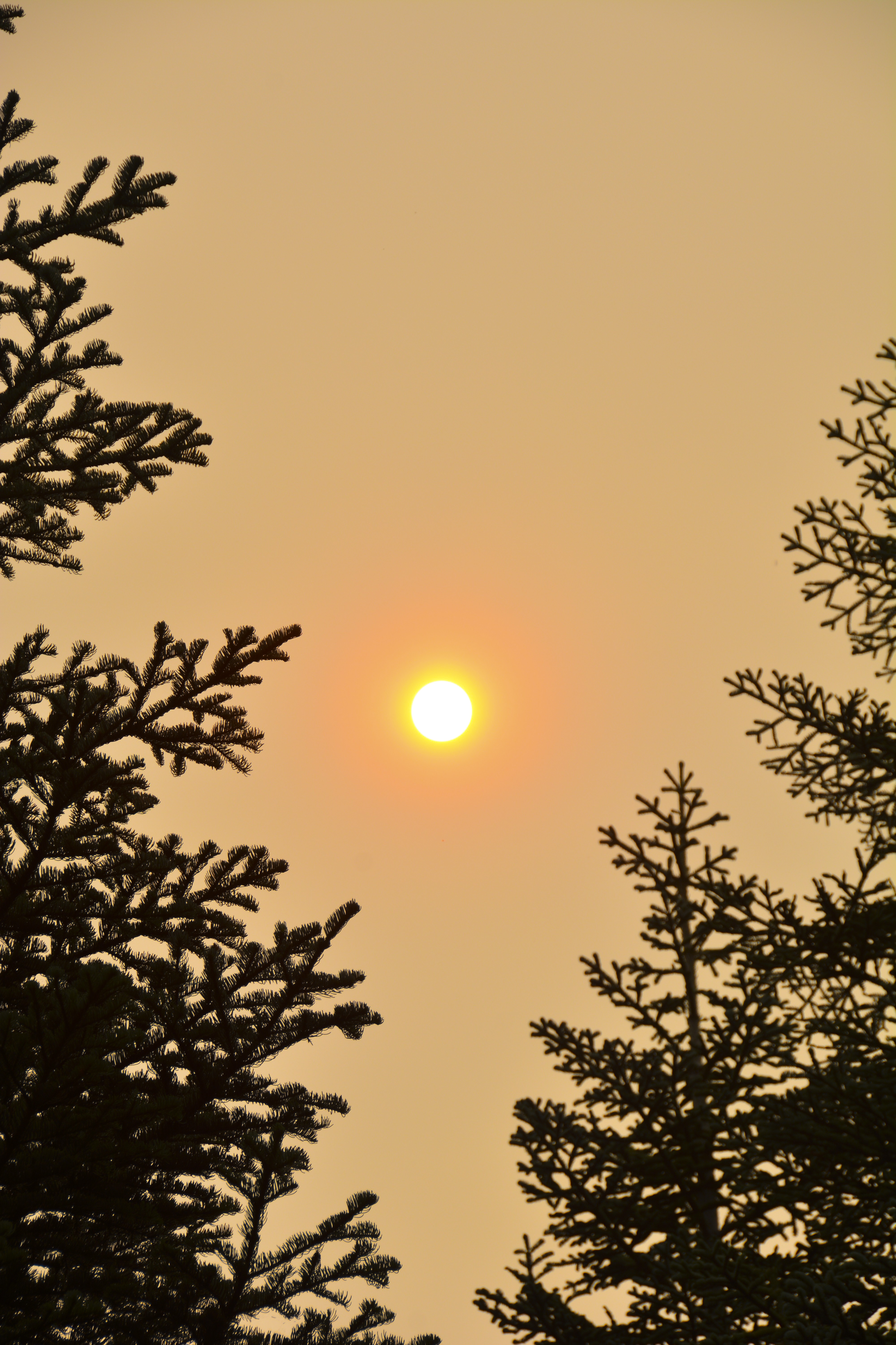
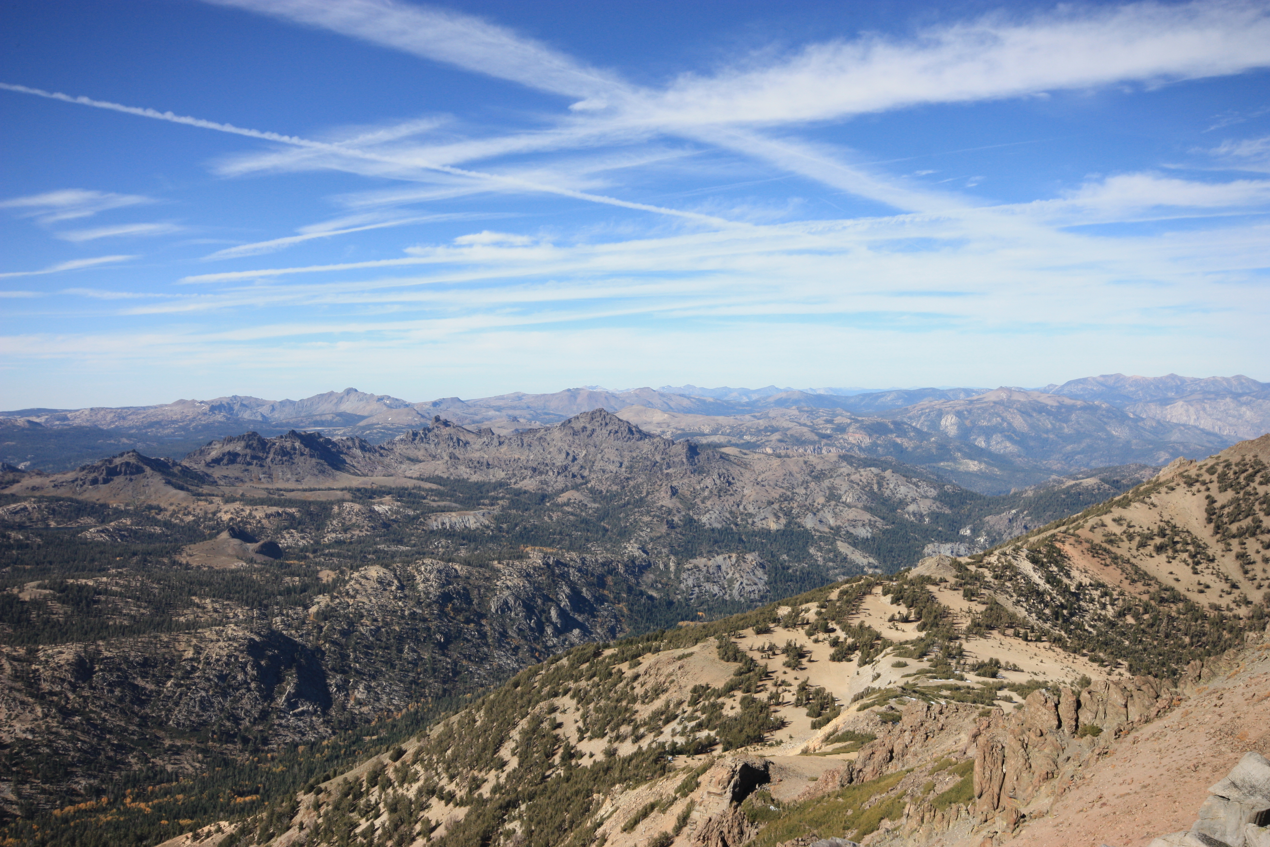
SIERRA SKY
Whatta View

Highway 4's Tunnel View

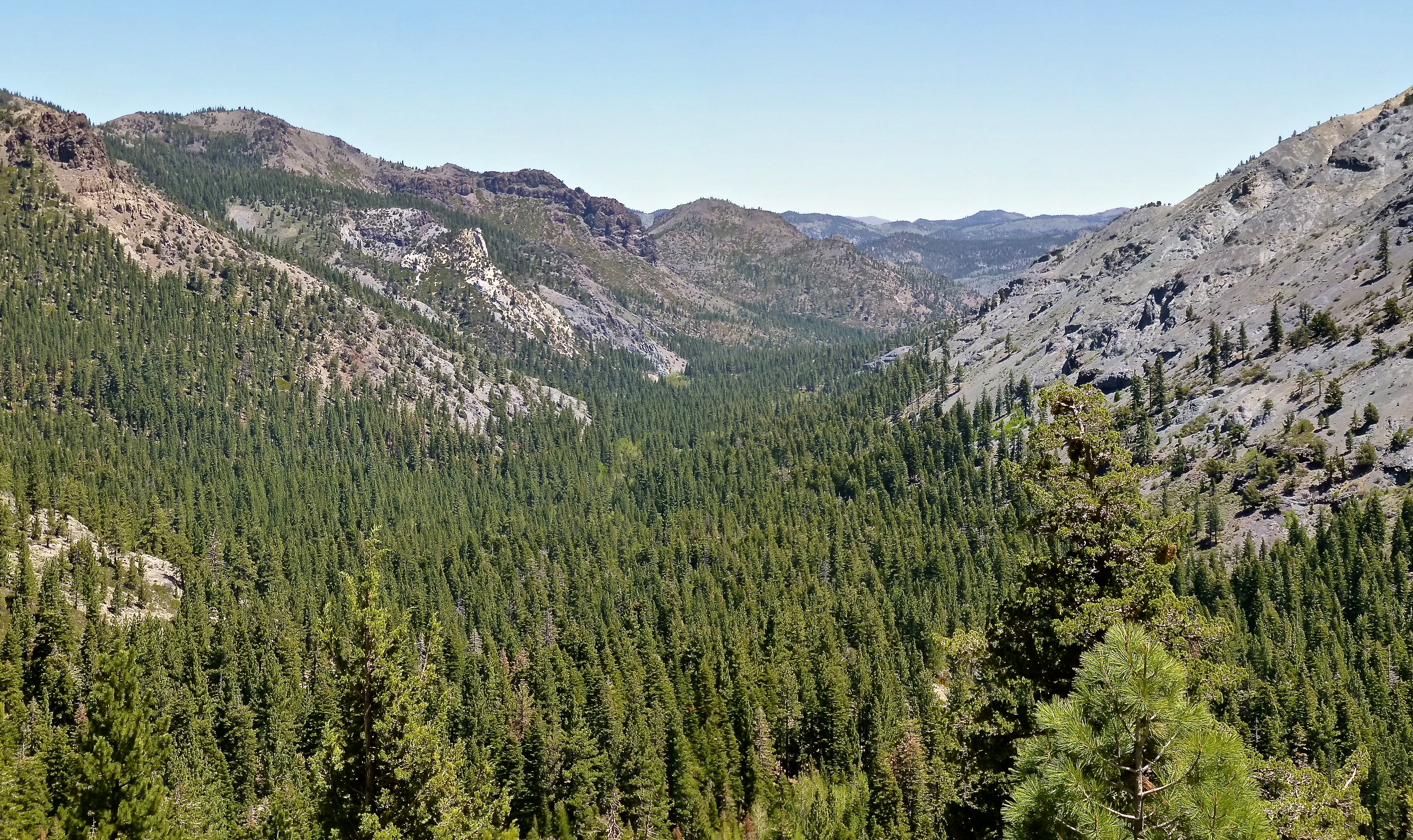
View of Stanislaus Wilderness
Valley View
View SE towards Stanislaus and Leavitt
Elephant Rock Lake View
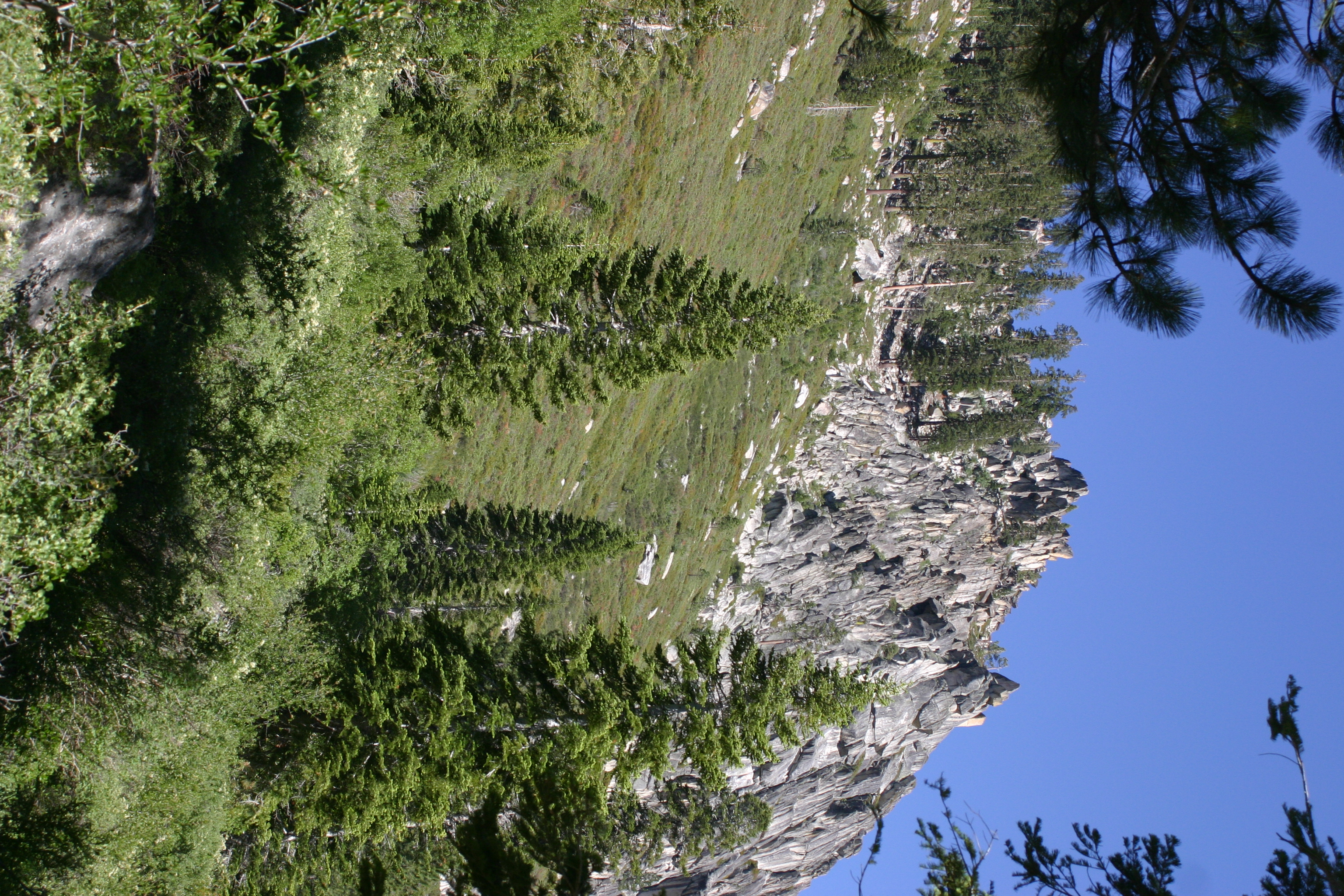
Fine views starting out
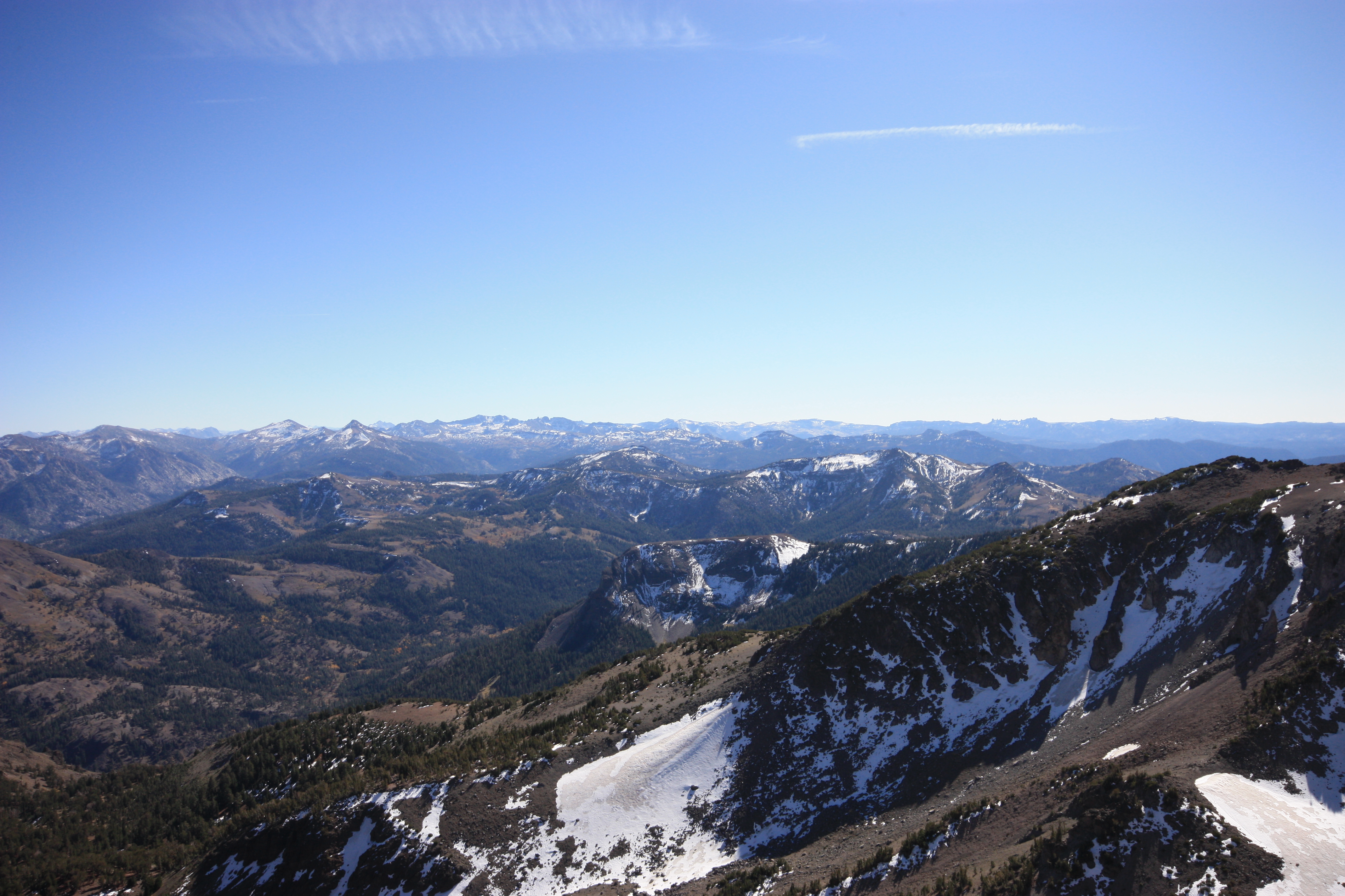
View North towards Round Top

View above Bull Run Lake
Glacier Point
Nice View
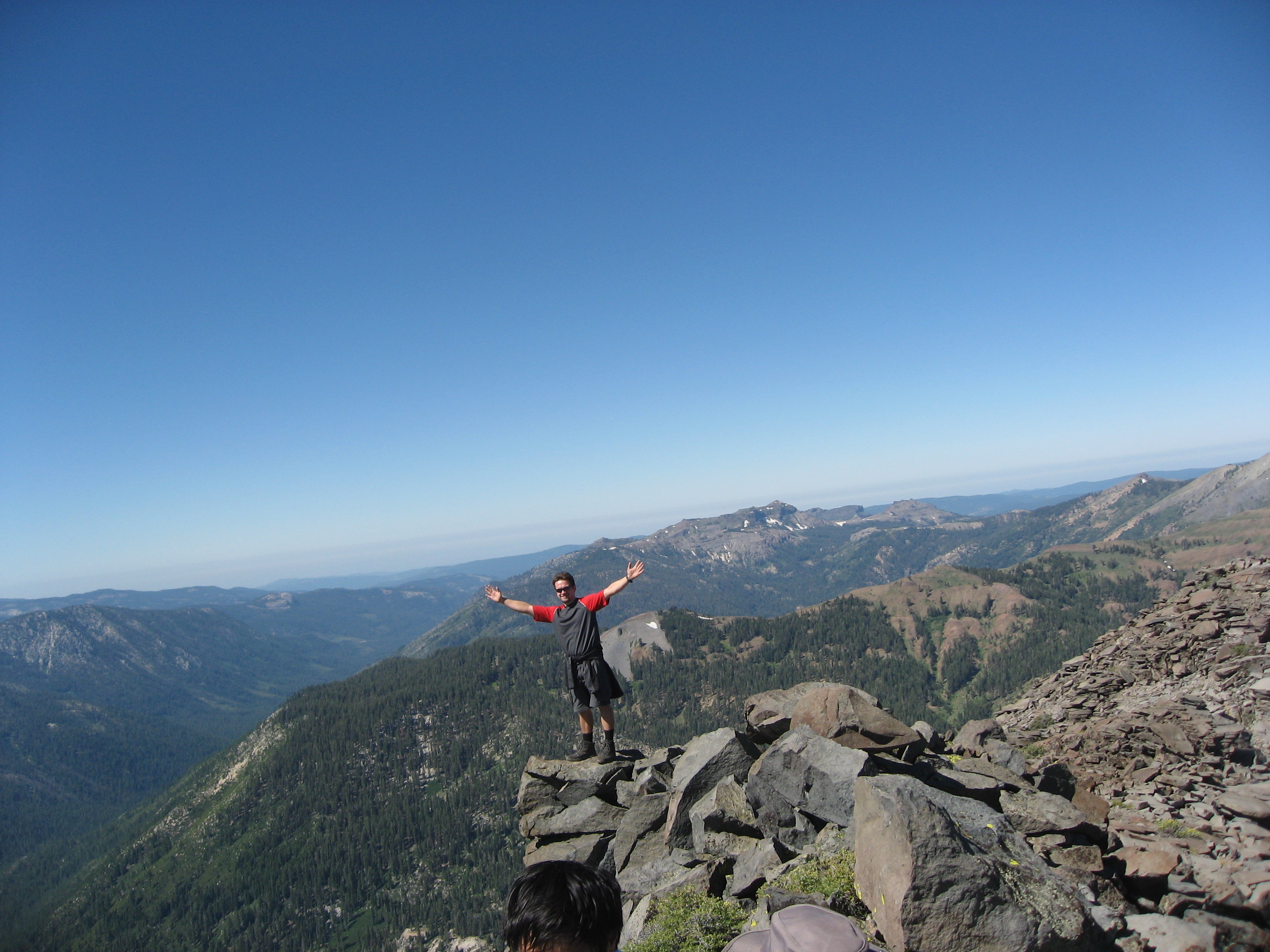
A view at the top
View NW towards Round Top and Mokelumne Peak
View to the Nipple
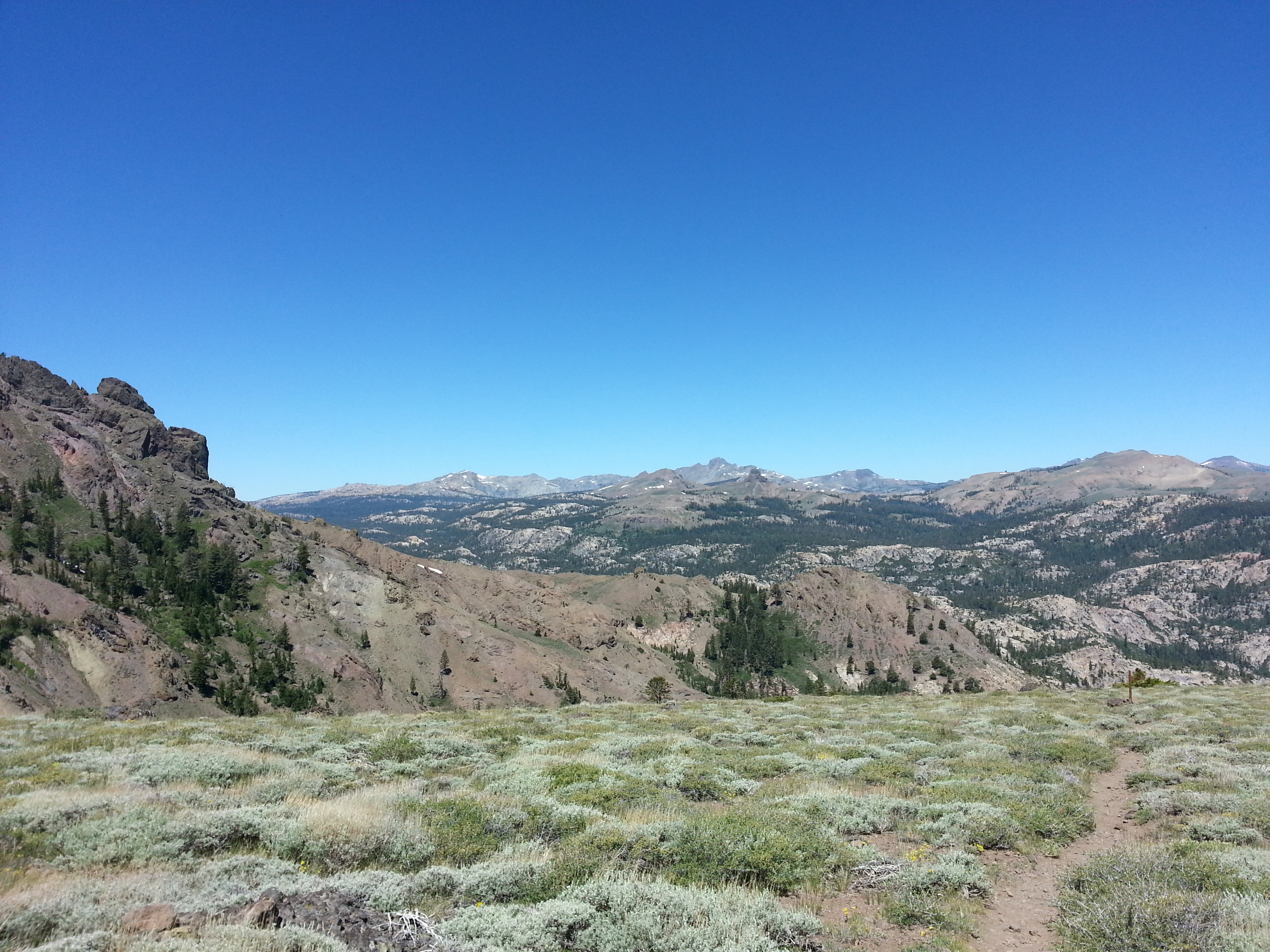
First view to Roundtop

South view from Disaster Peak
PCT view near Tryon Pk
First view of Disaster Peak
Folger Peak, California, USA Karte
Suchen Sie einen anderen Ort
Nahe Plätze
Peep Sight Peak, California, USA
Airola Peak, California, USA
Iceberg Peak, California, USA
Ebbetts Pass, California, USA
Arnot Peak, California, USA
Highland Peak, California, USA
Bull Run Peak, California, USA
Reynolds Peak, California, USA
Disaster Peak, California, USA
Alpine State Hwy, Arnold, CA, USA
Clark Fork Campground, California, Vereinigte Staaten
Raymond Peak, California, USA
The Dardanelles North, California, USA
Alpine County, Kalifornien, USA
Bald Peak, California, USA
The Dardanelles West, California, USA
Dardanelle, CA, USA
Thornburg Peak, Markleeville, CA, USA
Whitecliff Peak, California, USA
Markleeville Peak, California, USA
Letzte Suche
- Red Dog Mine, AK, USA Sonnenaufgang Sonnenuntergang Zeiten
- Am Bahnhof, Am bhf, Borken, Germany Sonnenaufgang Sonnenuntergang Zeiten
- 4th St E, Sonoma, CA, USA Sonnenaufgang Sonnenuntergang Zeiten
- Oakland Ave, Williamsport, PA, USA Sonnenaufgang Sonnenuntergang Zeiten
- Via Roma, Pieranica CR, Italien Sonnenaufgang Sonnenuntergang Zeiten
- Glockenturm, Grad, Dubrovnik, Kroatien Sonnenaufgang Sonnenuntergang Zeiten
- Trelew, Chubut Province, Argentina Sonnenaufgang Sonnenuntergang Zeiten
- Hartfords Bluff Cir, Mt Pleasant, SC, USA Sonnenaufgang Sonnenuntergang Zeiten
- Kita-ku, Kumamoto, Präfektur Kumamoto, Japan Sonnenaufgang Sonnenuntergang Zeiten
- Pingtan Island, Pingtan County, Fuzhou, China Sonnenaufgang Sonnenuntergang Zeiten