Florentine TAS, Australien Sonnenaufgang Sonnenuntergang Zeiten
Location: Australien > Tasmanien >
Zeitzone:
Australia/Melbourne
Ortszeit:
2025-07-08 03:00:22
Länge:
146.4752659
Breite:
-42.5839215
Sonnenaufgang Heute:
07:43:04 AM
Sonnenuntergang Heute:
04:55:22 PM
Tageslänge heute:
9h 12m 18s
Sonnenaufgang morgen:
07:42:40 AM
Sonnenuntergang Morgen:
04:56:04 PM
Tageslänge von morgen:
9h 13m 24s
Alle Termine anzeigen
| Datum | Sonnenaufgang | Sonnenuntergang | Tageslänge |
|---|---|---|---|
| 2025-01-01 | 05:40:20 AM | 08:54:53 PM | 15h 14m 33s |
| 2025-01-02 | 05:41:13 AM | 08:54:56 PM | 15h 13m 43s |
| 2025-01-03 | 05:42:08 AM | 08:54:56 PM | 15h 12m 48s |
| 2025-01-04 | 05:43:05 AM | 08:54:54 PM | 15h 11m 49s |
| 2025-01-05 | 05:44:03 AM | 08:54:49 PM | 15h 10m 46s |
| 2025-01-06 | 05:45:03 AM | 08:54:42 PM | 15h 9m 39s |
| 2025-01-07 | 05:46:05 AM | 08:54:33 PM | 15h 8m 28s |
| 2025-01-08 | 05:47:08 AM | 08:54:21 PM | 15h 7m 13s |
| 2025-01-09 | 05:48:12 AM | 08:54:07 PM | 15h 5m 55s |
| 2025-01-10 | 05:49:18 AM | 08:53:50 PM | 15h 4m 32s |
| 2025-01-11 | 05:50:25 AM | 08:53:31 PM | 15h 3m 6s |
| 2025-01-12 | 05:51:34 AM | 08:53:09 PM | 15h 1m 35s |
| 2025-01-13 | 05:52:43 AM | 08:52:45 PM | 15h 0m 2s |
| 2025-01-14 | 05:53:54 AM | 08:52:18 PM | 14h 58m 24s |
| 2025-01-15 | 05:55:05 AM | 08:51:50 PM | 14h 56m 45s |
| 2025-01-16 | 05:56:18 AM | 08:51:19 PM | 14h 55m 1s |
| 2025-01-17 | 05:57:31 AM | 08:50:45 PM | 14h 53m 14s |
| 2025-01-18 | 05:58:46 AM | 08:50:10 PM | 14h 51m 24s |
| 2025-01-19 | 06:00:01 AM | 08:49:32 PM | 14h 49m 31s |
| 2025-01-20 | 06:01:17 AM | 08:48:52 PM | 14h 47m 35s |
| 2025-01-21 | 06:02:33 AM | 08:48:09 PM | 14h 45m 36s |
| 2025-01-22 | 06:03:50 AM | 08:47:25 PM | 14h 43m 35s |
| 2025-01-23 | 06:05:08 AM | 08:46:38 PM | 14h 41m 30s |
| 2025-01-24 | 06:06:26 AM | 08:45:50 PM | 14h 39m 24s |
| 2025-01-25 | 06:07:45 AM | 08:44:59 PM | 14h 37m 14s |
| 2025-01-26 | 06:09:04 AM | 08:44:07 PM | 14h 35m 3s |
| 2025-01-27 | 06:10:24 AM | 08:43:12 PM | 14h 32m 48s |
| 2025-01-28 | 06:11:43 AM | 08:42:15 PM | 14h 30m 32s |
| 2025-01-29 | 06:13:04 AM | 08:41:17 PM | 14h 28m 13s |
| 2025-01-30 | 06:14:24 AM | 08:40:17 PM | 14h 25m 53s |
| 2025-01-31 | 06:15:44 AM | 08:39:15 PM | 14h 23m 31s |
| 2025-02-01 | 06:17:05 AM | 08:38:11 PM | 14h 21m 6s |
| 2025-02-02 | 06:18:26 AM | 08:37:05 PM | 14h 18m 39s |
| 2025-02-03 | 06:19:47 AM | 08:35:58 PM | 14h 16m 11s |
| 2025-02-04 | 06:21:07 AM | 08:34:49 PM | 14h 13m 42s |
| 2025-02-05 | 06:22:28 AM | 08:33:38 PM | 14h 11m 10s |
| 2025-02-06 | 06:23:49 AM | 08:32:26 PM | 14h 8m 37s |
| 2025-02-07 | 06:25:10 AM | 08:31:12 PM | 14h 6m 2s |
| 2025-02-08 | 06:26:31 AM | 08:29:57 PM | 14h 3m 26s |
| 2025-02-09 | 06:27:51 AM | 08:28:40 PM | 14h 0m 49s |
| 2025-02-10 | 06:29:12 AM | 08:27:22 PM | 13h 58m 10s |
| 2025-02-11 | 06:30:32 AM | 08:26:03 PM | 13h 55m 31s |
| 2025-02-12 | 06:31:52 AM | 08:24:42 PM | 13h 52m 50s |
| 2025-02-13 | 06:33:12 AM | 08:23:20 PM | 13h 50m 8s |
| 2025-02-14 | 06:34:31 AM | 08:21:56 PM | 13h 47m 25s |
| 2025-02-15 | 06:35:51 AM | 08:20:32 PM | 13h 44m 41s |
| 2025-02-16 | 06:37:10 AM | 08:19:06 PM | 13h 41m 56s |
| 2025-02-17 | 06:38:29 AM | 08:17:39 PM | 13h 39m 10s |
| 2025-02-18 | 06:39:47 AM | 08:16:11 PM | 13h 36m 24s |
| 2025-02-19 | 06:41:05 AM | 08:14:42 PM | 13h 33m 37s |
| 2025-02-20 | 06:42:23 AM | 08:13:12 PM | 13h 30m 49s |
| 2025-02-21 | 06:43:41 AM | 08:11:41 PM | 13h 28m 0s |
| 2025-02-22 | 06:44:58 AM | 08:10:09 PM | 13h 25m 11s |
| 2025-02-23 | 06:46:15 AM | 08:08:36 PM | 13h 22m 21s |
| 2025-02-24 | 06:47:32 AM | 08:07:02 PM | 13h 19m 30s |
| 2025-02-25 | 06:48:49 AM | 08:05:27 PM | 13h 16m 38s |
| 2025-02-26 | 06:50:05 AM | 08:03:51 PM | 13h 13m 46s |
| 2025-02-27 | 06:51:20 AM | 08:02:15 PM | 13h 10m 55s |
| 2025-02-28 | 06:52:36 AM | 08:00:38 PM | 13h 8m 2s |
| 2025-03-01 | 06:53:51 AM | 07:59:00 PM | 13h 5m 9s |
| 2025-03-02 | 06:55:05 AM | 07:57:22 PM | 13h 2m 17s |
| 2025-03-03 | 06:56:20 AM | 07:55:43 PM | 12h 59m 23s |
| 2025-03-04 | 06:57:34 AM | 07:54:03 PM | 12h 56m 29s |
| 2025-03-05 | 06:58:47 AM | 07:52:23 PM | 12h 53m 36s |
| 2025-03-06 | 07:00:01 AM | 07:50:42 PM | 12h 50m 41s |
| 2025-03-07 | 07:01:14 AM | 07:49:00 PM | 12h 47m 46s |
| 2025-03-08 | 07:02:26 AM | 07:47:19 PM | 12h 44m 53s |
| 2025-03-09 | 07:03:39 AM | 07:45:36 PM | 12h 41m 57s |
| 2025-03-10 | 07:04:51 AM | 07:43:54 PM | 12h 39m 3s |
| 2025-03-11 | 07:06:03 AM | 07:42:11 PM | 12h 36m 8s |
| 2025-03-12 | 07:07:14 AM | 07:40:27 PM | 12h 33m 13s |
| 2025-03-13 | 07:08:26 AM | 07:38:44 PM | 12h 30m 18s |
| 2025-03-14 | 07:09:37 AM | 07:37:00 PM | 12h 27m 23s |
| 2025-03-15 | 07:10:47 AM | 07:35:16 PM | 12h 24m 29s |
| 2025-03-16 | 07:11:58 AM | 07:33:31 PM | 12h 21m 33s |
| 2025-03-17 | 07:13:08 AM | 07:31:47 PM | 12h 18m 39s |
| 2025-03-18 | 07:14:18 AM | 07:30:02 PM | 12h 15m 44s |
| 2025-03-19 | 07:15:28 AM | 07:28:17 PM | 12h 12m 49s |
| 2025-03-20 | 07:16:38 AM | 07:26:32 PM | 12h 9m 54s |
| 2025-03-21 | 07:17:47 AM | 07:24:47 PM | 12h 7m 0s |
| 2025-03-22 | 07:18:56 AM | 07:23:02 PM | 12h 4m 6s |
| 2025-03-23 | 07:20:05 AM | 07:21:17 PM | 12h 1m 12s |
| 2025-03-24 | 07:21:14 AM | 07:19:32 PM | 11h 58m 18s |
| 2025-03-25 | 07:22:23 AM | 07:17:48 PM | 11h 55m 25s |
| 2025-03-26 | 07:23:31 AM | 07:16:03 PM | 11h 52m 32s |
| 2025-03-27 | 07:24:40 AM | 07:14:18 PM | 11h 49m 38s |
| 2025-03-28 | 07:25:48 AM | 07:12:34 PM | 11h 46m 46s |
| 2025-03-29 | 07:26:56 AM | 07:10:49 PM | 11h 43m 53s |
| 2025-03-30 | 07:28:05 AM | 07:09:05 PM | 11h 41m 0s |
| 2025-03-31 | 07:29:12 AM | 07:07:21 PM | 11h 38m 9s |
| 2025-04-01 | 07:30:20 AM | 07:05:38 PM | 11h 35m 18s |
| 2025-04-02 | 07:31:28 AM | 07:03:55 PM | 11h 32m 27s |
| 2025-04-03 | 07:32:36 AM | 07:02:12 PM | 11h 29m 36s |
| 2025-04-04 | 07:33:44 AM | 07:00:29 PM | 11h 26m 45s |
| 2025-04-05 | 07:34:51 AM | 06:58:47 PM | 11h 23m 56s |
| 2025-04-06 | 06:36:01 AM | 05:57:01 PM | 11h 21m 0s |
| 2025-04-06 | 06:36:01 AM | 05:57:01 PM | 11h 21m 0s |
| 2025-04-07 | 06:37:09 AM | 05:55:20 PM | 11h 18m 11s |
| 2025-04-08 | 06:38:16 AM | 05:53:39 PM | 11h 15m 23s |
| 2025-04-09 | 06:39:24 AM | 05:51:59 PM | 11h 12m 35s |
| 2025-04-10 | 06:40:31 AM | 05:50:19 PM | 11h 9m 48s |
| 2025-04-11 | 06:41:38 AM | 05:48:40 PM | 11h 7m 2s |
| 2025-04-12 | 06:42:46 AM | 05:47:02 PM | 11h 4m 16s |
| 2025-04-13 | 06:43:53 AM | 05:45:24 PM | 11h 1m 31s |
| 2025-04-14 | 06:45:00 AM | 05:43:47 PM | 10h 58m 47s |
| 2025-04-15 | 06:46:07 AM | 05:42:10 PM | 10h 56m 3s |
| 2025-04-16 | 06:47:14 AM | 05:40:35 PM | 10h 53m 21s |
| 2025-04-17 | 06:48:21 AM | 05:39:00 PM | 10h 50m 39s |
| 2025-04-18 | 06:49:28 AM | 05:37:26 PM | 10h 47m 58s |
| 2025-04-19 | 06:50:36 AM | 05:35:52 PM | 10h 45m 16s |
| 2025-04-20 | 06:51:42 AM | 05:34:20 PM | 10h 42m 38s |
| 2025-04-21 | 06:52:49 AM | 05:32:48 PM | 10h 39m 59s |
| 2025-04-22 | 06:53:56 AM | 05:31:18 PM | 10h 37m 22s |
| 2025-04-23 | 06:55:03 AM | 05:29:48 PM | 10h 34m 45s |
| 2025-04-24 | 06:56:10 AM | 05:28:20 PM | 10h 32m 10s |
| 2025-04-25 | 06:57:16 AM | 05:26:52 PM | 10h 29m 36s |
| 2025-04-26 | 06:58:23 AM | 05:25:26 PM | 10h 27m 3s |
| 2025-04-27 | 06:59:30 AM | 05:24:00 PM | 10h 24m 30s |
| 2025-04-28 | 07:00:36 AM | 05:22:36 PM | 10h 22m 0s |
| 2025-04-29 | 07:01:42 AM | 05:21:13 PM | 10h 19m 31s |
| 2025-04-30 | 07:02:48 AM | 05:19:51 PM | 10h 17m 3s |
| 2025-05-01 | 07:03:54 AM | 05:18:30 PM | 10h 14m 36s |
| 2025-05-02 | 07:05:00 AM | 05:17:11 PM | 10h 12m 11s |
| 2025-05-03 | 07:06:05 AM | 05:15:53 PM | 10h 9m 48s |
| 2025-05-04 | 07:07:11 AM | 05:14:36 PM | 10h 7m 25s |
| 2025-05-05 | 07:08:16 AM | 05:13:21 PM | 10h 5m 5s |
| 2025-05-06 | 07:09:20 AM | 05:12:07 PM | 10h 2m 47s |
| 2025-05-07 | 07:10:25 AM | 05:10:54 PM | 10h 0m 29s |
| 2025-05-08 | 07:11:29 AM | 05:09:43 PM | 9h 58m 14s |
| 2025-05-09 | 07:12:33 AM | 05:08:33 PM | 9h 56m 0s |
| 2025-05-10 | 07:13:36 AM | 05:07:25 PM | 9h 53m 49s |
| 2025-05-11 | 07:14:40 AM | 05:06:18 PM | 9h 51m 38s |
| 2025-05-12 | 07:15:42 AM | 05:05:13 PM | 9h 49m 31s |
| 2025-05-13 | 07:16:44 AM | 05:04:09 PM | 9h 47m 25s |
| 2025-05-14 | 07:17:46 AM | 05:03:08 PM | 9h 45m 22s |
| 2025-05-15 | 07:18:47 AM | 05:02:07 PM | 9h 43m 20s |
| 2025-05-16 | 07:19:48 AM | 05:01:09 PM | 9h 41m 21s |
| 2025-05-17 | 07:20:48 AM | 05:00:12 PM | 9h 39m 24s |
| 2025-05-18 | 07:21:47 AM | 04:59:17 PM | 9h 37m 30s |
| 2025-05-19 | 07:22:46 AM | 04:58:24 PM | 9h 35m 38s |
| 2025-05-20 | 07:23:44 AM | 04:57:32 PM | 9h 33m 48s |
| 2025-05-21 | 07:24:41 AM | 04:56:42 PM | 9h 32m 1s |
| 2025-05-22 | 07:25:38 AM | 04:55:55 PM | 9h 30m 17s |
| 2025-05-23 | 07:26:34 AM | 04:55:09 PM | 9h 28m 35s |
| 2025-05-24 | 07:27:29 AM | 04:54:24 PM | 9h 26m 55s |
| 2025-05-25 | 07:28:23 AM | 04:53:42 PM | 9h 25m 19s |
| 2025-05-26 | 07:29:15 AM | 04:53:02 PM | 9h 23m 47s |
| 2025-05-27 | 07:30:08 AM | 04:52:24 PM | 9h 22m 16s |
| 2025-05-28 | 07:30:58 AM | 04:51:47 PM | 9h 20m 49s |
| 2025-05-29 | 07:31:48 AM | 04:51:13 PM | 9h 19m 25s |
| 2025-05-30 | 07:32:37 AM | 04:50:41 PM | 9h 18m 4s |
| 2025-05-31 | 07:33:25 AM | 04:50:10 PM | 9h 16m 45s |
| 2025-06-01 | 07:34:11 AM | 04:49:42 PM | 9h 15m 31s |
| 2025-06-02 | 07:34:56 AM | 04:49:16 PM | 9h 14m 20s |
| 2025-06-03 | 07:35:40 AM | 04:48:51 PM | 9h 13m 11s |
| 2025-06-04 | 07:36:23 AM | 04:48:29 PM | 9h 12m 6s |
| 2025-06-05 | 07:37:04 AM | 04:48:09 PM | 9h 11m 5s |
| 2025-06-06 | 07:37:44 AM | 04:47:51 PM | 9h 10m 7s |
| 2025-06-07 | 07:38:22 AM | 04:47:35 PM | 9h 9m 13s |
| 2025-06-08 | 07:38:59 AM | 04:47:21 PM | 9h 8m 22s |
| 2025-06-09 | 07:39:34 AM | 04:47:09 PM | 9h 7m 35s |
| 2025-06-10 | 07:40:07 AM | 04:46:59 PM | 9h 6m 52s |
| 2025-06-11 | 07:40:39 AM | 04:46:52 PM | 9h 6m 13s |
| 2025-06-12 | 07:41:10 AM | 04:46:46 PM | 9h 5m 36s |
| 2025-06-13 | 07:41:38 AM | 04:46:42 PM | 9h 5m 4s |
| 2025-06-14 | 07:42:05 AM | 04:46:41 PM | 9h 4m 36s |
| 2025-06-15 | 07:42:31 AM | 04:46:41 PM | 9h 4m 10s |
| 2025-06-16 | 07:42:54 AM | 04:46:44 PM | 9h 3m 50s |
| 2025-06-17 | 07:43:15 AM | 04:46:48 PM | 9h 3m 33s |
| 2025-06-18 | 07:43:35 AM | 04:46:54 PM | 9h 3m 19s |
| 2025-06-19 | 07:43:53 AM | 04:47:03 PM | 9h 3m 10s |
| 2025-06-20 | 07:44:09 AM | 04:47:13 PM | 9h 3m 4s |
| 2025-06-21 | 07:44:23 AM | 04:47:25 PM | 9h 3m 2s |
| 2025-06-22 | 07:44:35 AM | 04:47:39 PM | 9h 3m 4s |
| 2025-06-23 | 07:44:44 AM | 04:47:55 PM | 9h 3m 11s |
| 2025-06-24 | 07:44:52 AM | 04:48:13 PM | 9h 3m 21s |
| 2025-06-25 | 07:44:58 AM | 04:48:33 PM | 9h 3m 35s |
| 2025-06-26 | 07:45:02 AM | 04:48:54 PM | 9h 3m 52s |
| 2025-06-27 | 07:45:04 AM | 04:49:18 PM | 9h 4m 14s |
| 2025-06-28 | 07:45:04 AM | 04:49:43 PM | 9h 4m 39s |
| 2025-06-29 | 07:45:01 AM | 04:50:09 PM | 9h 5m 8s |
| 2025-06-30 | 07:44:57 AM | 04:50:38 PM | 9h 5m 41s |
| 2025-07-01 | 07:44:50 AM | 04:51:07 PM | 9h 6m 17s |
| 2025-07-02 | 07:44:42 AM | 04:51:39 PM | 9h 6m 57s |
| 2025-07-03 | 07:44:31 AM | 04:52:12 PM | 9h 7m 41s |
| 2025-07-04 | 07:44:18 AM | 04:52:46 PM | 9h 8m 28s |
| 2025-07-05 | 07:44:03 AM | 04:53:22 PM | 9h 9m 19s |
| 2025-07-06 | 07:43:46 AM | 04:54:00 PM | 9h 10m 14s |
| 2025-07-07 | 07:43:27 AM | 04:54:39 PM | 9h 11m 12s |
| 2025-07-08 | 07:43:06 AM | 04:55:19 PM | 9h 12m 13s |
| 2025-07-09 | 07:42:42 AM | 04:56:00 PM | 9h 13m 18s |
| 2025-07-10 | 07:42:17 AM | 04:56:43 PM | 9h 14m 26s |
| 2025-07-11 | 07:41:49 AM | 04:57:27 PM | 9h 15m 38s |
| 2025-07-12 | 07:41:20 AM | 04:58:12 PM | 9h 16m 52s |
| 2025-07-13 | 07:40:48 AM | 04:58:58 PM | 9h 18m 10s |
| 2025-07-14 | 07:40:14 AM | 04:59:45 PM | 9h 19m 31s |
| 2025-07-15 | 07:39:39 AM | 05:00:33 PM | 9h 20m 54s |
| 2025-07-16 | 07:39:01 AM | 05:01:23 PM | 9h 22m 22s |
| 2025-07-17 | 07:38:21 AM | 05:02:13 PM | 9h 23m 52s |
| 2025-07-18 | 07:37:40 AM | 05:03:04 PM | 9h 25m 24s |
| 2025-07-19 | 07:36:56 AM | 05:03:56 PM | 9h 27m 0s |
| 2025-07-20 | 07:36:10 AM | 05:04:49 PM | 9h 28m 39s |
| 2025-07-21 | 07:35:23 AM | 05:05:42 PM | 9h 30m 19s |
| 2025-07-22 | 07:34:34 AM | 05:06:36 PM | 9h 32m 2s |
| 2025-07-23 | 07:33:43 AM | 05:07:31 PM | 9h 33m 48s |
| 2025-07-24 | 07:32:49 AM | 05:08:27 PM | 9h 35m 38s |
| 2025-07-25 | 07:31:55 AM | 05:09:23 PM | 9h 37m 28s |
| 2025-07-26 | 07:30:58 AM | 05:10:20 PM | 9h 39m 22s |
| 2025-07-27 | 07:30:00 AM | 05:11:18 PM | 9h 41m 18s |
| 2025-07-28 | 07:29:00 AM | 05:12:16 PM | 9h 43m 16s |
| 2025-07-29 | 07:27:58 AM | 05:13:14 PM | 9h 45m 16s |
| 2025-07-30 | 07:26:54 AM | 05:14:13 PM | 9h 47m 19s |
| 2025-07-31 | 07:25:49 AM | 05:15:12 PM | 9h 49m 23s |
| 2025-08-01 | 07:24:43 AM | 05:16:12 PM | 9h 51m 29s |
| 2025-08-02 | 07:23:34 AM | 05:17:12 PM | 9h 53m 38s |
| 2025-08-03 | 07:22:25 AM | 05:18:13 PM | 9h 55m 48s |
| 2025-08-04 | 07:21:13 AM | 05:19:13 PM | 9h 58m 0s |
| 2025-08-05 | 07:20:01 AM | 05:20:14 PM | 10h 0m 13s |
| 2025-08-06 | 07:18:46 AM | 05:21:16 PM | 10h 2m 30s |
| 2025-08-07 | 07:17:31 AM | 05:22:17 PM | 10h 4m 46s |
| 2025-08-08 | 07:16:14 AM | 05:23:19 PM | 10h 7m 5s |
| 2025-08-09 | 07:14:55 AM | 05:24:21 PM | 10h 9m 26s |
| 2025-08-10 | 07:13:35 AM | 05:25:23 PM | 10h 11m 48s |
| 2025-08-11 | 07:12:14 AM | 05:26:25 PM | 10h 14m 11s |
| 2025-08-12 | 07:10:52 AM | 05:27:27 PM | 10h 16m 35s |
| 2025-08-13 | 07:09:29 AM | 05:28:29 PM | 10h 19m 0s |
| 2025-08-14 | 07:08:04 AM | 05:29:32 PM | 10h 21m 28s |
| 2025-08-15 | 07:06:38 AM | 05:30:35 PM | 10h 23m 57s |
| 2025-08-16 | 07:05:11 AM | 05:31:37 PM | 10h 26m 26s |
| 2025-08-17 | 07:03:43 AM | 05:32:40 PM | 10h 28m 57s |
| 2025-08-18 | 07:02:14 AM | 05:33:43 PM | 10h 31m 29s |
| 2025-08-19 | 07:00:44 AM | 05:34:46 PM | 10h 34m 2s |
| 2025-08-20 | 06:59:12 AM | 05:35:48 PM | 10h 36m 36s |
| 2025-08-21 | 06:57:40 AM | 05:36:51 PM | 10h 39m 11s |
| 2025-08-22 | 06:56:07 AM | 05:37:54 PM | 10h 41m 47s |
| 2025-08-23 | 06:54:33 AM | 05:38:57 PM | 10h 44m 24s |
| 2025-08-24 | 06:52:58 AM | 05:40:00 PM | 10h 47m 2s |
| 2025-08-25 | 06:51:22 AM | 05:41:03 PM | 10h 49m 41s |
| 2025-08-26 | 06:49:46 AM | 05:42:06 PM | 10h 52m 20s |
| 2025-08-27 | 06:48:08 AM | 05:43:09 PM | 10h 55m 1s |
| 2025-08-28 | 06:46:30 AM | 05:44:12 PM | 10h 57m 42s |
| 2025-08-29 | 06:44:52 AM | 05:45:15 PM | 11h 0m 23s |
| 2025-08-30 | 06:43:12 AM | 05:46:17 PM | 11h 3m 5s |
| 2025-08-31 | 06:41:32 AM | 05:47:20 PM | 11h 5m 48s |
| 2025-09-01 | 06:39:51 AM | 05:48:23 PM | 11h 8m 32s |
| 2025-09-02 | 06:38:10 AM | 05:49:26 PM | 11h 11m 16s |
| 2025-09-03 | 06:36:28 AM | 05:50:29 PM | 11h 14m 1s |
| 2025-09-04 | 06:34:45 AM | 05:51:32 PM | 11h 16m 47s |
| 2025-09-05 | 06:33:02 AM | 05:52:35 PM | 11h 19m 33s |
| 2025-09-06 | 06:31:19 AM | 05:53:38 PM | 11h 22m 19s |
| 2025-09-07 | 06:29:35 AM | 05:54:41 PM | 11h 25m 6s |
| 2025-09-08 | 06:27:51 AM | 05:55:44 PM | 11h 27m 53s |
| 2025-09-09 | 06:26:06 AM | 05:56:47 PM | 11h 30m 41s |
| 2025-09-10 | 06:24:21 AM | 05:57:50 PM | 11h 33m 29s |
| 2025-09-11 | 06:22:36 AM | 05:58:54 PM | 11h 36m 18s |
| 2025-09-12 | 06:20:50 AM | 05:59:57 PM | 11h 39m 7s |
| 2025-09-13 | 06:19:04 AM | 06:01:00 PM | 11h 41m 56s |
| 2025-09-14 | 06:17:18 AM | 06:02:04 PM | 11h 44m 46s |
| 2025-09-15 | 06:15:31 AM | 06:03:07 PM | 11h 47m 36s |
| 2025-09-16 | 06:13:45 AM | 06:04:11 PM | 11h 50m 26s |
| 2025-09-17 | 06:11:58 AM | 06:05:15 PM | 11h 53m 17s |
| 2025-09-18 | 06:10:11 AM | 06:06:19 PM | 11h 56m 8s |
| 2025-09-19 | 06:08:24 AM | 06:07:23 PM | 11h 58m 59s |
| 2025-09-20 | 06:06:37 AM | 06:08:27 PM | 12h 1m 50s |
| 2025-09-21 | 06:04:50 AM | 06:09:32 PM | 12h 4m 42s |
| 2025-09-22 | 06:03:03 AM | 06:10:36 PM | 12h 7m 33s |
| 2025-09-23 | 06:01:16 AM | 06:11:41 PM | 12h 10m 25s |
| 2025-09-24 | 05:59:29 AM | 06:12:46 PM | 12h 13m 17s |
| 2025-09-25 | 05:57:43 AM | 06:13:51 PM | 12h 16m 8s |
| 2025-09-26 | 05:55:56 AM | 06:14:56 PM | 12h 19m 0s |
| 2025-09-27 | 05:54:09 AM | 06:16:02 PM | 12h 21m 53s |
| 2025-09-28 | 05:52:23 AM | 06:17:08 PM | 12h 24m 45s |
| 2025-09-29 | 05:50:37 AM | 06:18:14 PM | 12h 27m 37s |
| 2025-09-30 | 05:48:51 AM | 06:19:20 PM | 12h 30m 29s |
| 2025-10-01 | 05:47:05 AM | 06:20:27 PM | 12h 33m 22s |
| 2025-10-02 | 05:45:20 AM | 06:21:34 PM | 12h 36m 14s |
| 2025-10-03 | 05:43:35 AM | 06:22:41 PM | 12h 39m 6s |
| 2025-10-04 | 05:41:50 AM | 06:23:49 PM | 12h 41m 59s |
| 2025-10-06 | 06:38:27 AM | 07:26:02 PM | 12h 47m 35s |
| 2025-10-07 | 06:36:43 AM | 07:27:10 PM | 12h 50m 27s |
| 2025-10-08 | 06:35:00 AM | 07:28:19 PM | 12h 53m 19s |
| 2025-10-09 | 06:33:18 AM | 07:29:28 PM | 12h 56m 10s |
| 2025-10-10 | 06:31:36 AM | 07:30:37 PM | 12h 59m 1s |
| 2025-10-11 | 06:29:55 AM | 07:31:47 PM | 13h 1m 52s |
| 2025-10-12 | 06:28:14 AM | 07:32:57 PM | 13h 4m 43s |
| 2025-10-13 | 06:26:35 AM | 07:34:08 PM | 13h 7m 33s |
| 2025-10-14 | 06:24:55 AM | 07:35:19 PM | 13h 10m 24s |
| 2025-10-15 | 06:23:17 AM | 07:36:30 PM | 13h 13m 13s |
| 2025-10-16 | 06:21:39 AM | 07:37:41 PM | 13h 16m 2s |
| 2025-10-17 | 06:20:02 AM | 07:38:53 PM | 13h 18m 51s |
| 2025-10-18 | 06:18:26 AM | 07:40:05 PM | 13h 21m 39s |
| 2025-10-19 | 06:16:51 AM | 07:41:18 PM | 13h 24m 27s |
| 2025-10-20 | 06:15:17 AM | 07:42:31 PM | 13h 27m 14s |
| 2025-10-21 | 06:13:43 AM | 07:43:44 PM | 13h 30m 1s |
| 2025-10-22 | 06:12:11 AM | 07:44:58 PM | 13h 32m 47s |
| 2025-10-23 | 06:10:40 AM | 07:46:12 PM | 13h 35m 32s |
| 2025-10-24 | 06:09:09 AM | 07:47:26 PM | 13h 38m 17s |
| 2025-10-25 | 06:07:40 AM | 07:48:41 PM | 13h 41m 1s |
| 2025-10-26 | 06:06:12 AM | 07:49:56 PM | 13h 43m 44s |
| 2025-10-27 | 06:04:45 AM | 07:51:11 PM | 13h 46m 26s |
| 2025-10-28 | 06:03:19 AM | 07:52:27 PM | 13h 49m 8s |
| 2025-10-29 | 06:01:55 AM | 07:53:43 PM | 13h 51m 48s |
| 2025-10-30 | 06:00:31 AM | 07:54:59 PM | 13h 54m 28s |
| 2025-10-31 | 05:59:10 AM | 07:56:15 PM | 13h 57m 5s |
| 2025-11-01 | 05:57:49 AM | 07:57:32 PM | 13h 59m 43s |
| 2025-11-02 | 05:56:30 AM | 07:58:49 PM | 14h 2m 19s |
| 2025-11-03 | 05:55:12 AM | 08:00:06 PM | 14h 4m 54s |
| 2025-11-04 | 05:53:56 AM | 08:01:23 PM | 14h 7m 27s |
| 2025-11-05 | 05:52:41 AM | 08:02:40 PM | 14h 9m 59s |
| 2025-11-06 | 05:51:28 AM | 08:03:57 PM | 14h 12m 29s |
| 2025-11-07 | 05:50:16 AM | 08:05:15 PM | 14h 14m 59s |
| 2025-11-08 | 05:49:07 AM | 08:06:32 PM | 14h 17m 25s |
| 2025-11-09 | 05:47:58 AM | 08:07:50 PM | 14h 19m 52s |
| 2025-11-10 | 05:46:52 AM | 08:09:07 PM | 14h 22m 15s |
| 2025-11-11 | 05:45:47 AM | 08:10:25 PM | 14h 24m 38s |
| 2025-11-12 | 05:44:44 AM | 08:11:42 PM | 14h 26m 58s |
| 2025-11-13 | 05:43:43 AM | 08:12:59 PM | 14h 29m 16s |
| 2025-11-14 | 05:42:43 AM | 08:14:16 PM | 14h 31m 33s |
| 2025-11-15 | 05:41:46 AM | 08:15:33 PM | 14h 33m 47s |
| 2025-11-16 | 05:40:51 AM | 08:16:49 PM | 14h 35m 58s |
| 2025-11-17 | 05:39:57 AM | 08:18:05 PM | 14h 38m 8s |
| 2025-11-18 | 05:39:06 AM | 08:19:21 PM | 14h 40m 15s |
| 2025-11-19 | 05:38:17 AM | 08:20:37 PM | 14h 42m 20s |
| 2025-11-20 | 05:37:29 AM | 08:21:52 PM | 14h 44m 23s |
| 2025-11-21 | 05:36:44 AM | 08:23:06 PM | 14h 46m 22s |
| 2025-11-22 | 05:36:01 AM | 08:24:20 PM | 14h 48m 19s |
| 2025-11-23 | 05:35:21 AM | 08:25:33 PM | 14h 50m 12s |
| 2025-11-24 | 05:34:42 AM | 08:26:46 PM | 14h 52m 4s |
| 2025-11-25 | 05:34:06 AM | 08:27:58 PM | 14h 53m 52s |
| 2025-11-26 | 05:33:32 AM | 08:29:09 PM | 14h 55m 37s |
| 2025-11-27 | 05:33:00 AM | 08:30:19 PM | 14h 57m 19s |
| 2025-11-28 | 05:32:31 AM | 08:31:28 PM | 14h 58m 57s |
| 2025-11-29 | 05:32:04 AM | 08:32:37 PM | 15h 0m 33s |
| 2025-11-30 | 05:31:40 AM | 08:33:44 PM | 15h 2m 4s |
| 2025-12-01 | 05:31:17 AM | 08:34:50 PM | 15h 3m 33s |
| 2025-12-02 | 05:30:58 AM | 08:35:55 PM | 15h 4m 57s |
| 2025-12-03 | 05:30:41 AM | 08:36:59 PM | 15h 6m 18s |
| 2025-12-04 | 05:30:26 AM | 08:38:02 PM | 15h 7m 36s |
| 2025-12-05 | 05:30:14 AM | 08:39:03 PM | 15h 8m 49s |
| 2025-12-06 | 05:30:04 AM | 08:40:03 PM | 15h 9m 59s |
| 2025-12-07 | 05:29:57 AM | 08:41:01 PM | 15h 11m 4s |
| 2025-12-08 | 05:29:52 AM | 08:41:58 PM | 15h 12m 6s |
| 2025-12-09 | 05:29:50 AM | 08:42:53 PM | 15h 13m 3s |
| 2025-12-10 | 05:29:50 AM | 08:43:47 PM | 15h 13m 57s |
| 2025-12-11 | 05:29:53 AM | 08:44:39 PM | 15h 14m 46s |
| 2025-12-12 | 05:29:59 AM | 08:45:29 PM | 15h 15m 30s |
| 2025-12-13 | 05:30:07 AM | 08:46:17 PM | 15h 16m 10s |
| 2025-12-14 | 05:30:17 AM | 08:47:04 PM | 15h 16m 47s |
| 2025-12-15 | 05:30:30 AM | 08:47:48 PM | 15h 17m 18s |
| 2025-12-16 | 05:30:45 AM | 08:48:31 PM | 15h 17m 46s |
| 2025-12-17 | 05:31:03 AM | 08:49:12 PM | 15h 18m 9s |
| 2025-12-18 | 05:31:24 AM | 08:49:50 PM | 15h 18m 26s |
| 2025-12-19 | 05:31:46 AM | 08:50:27 PM | 15h 18m 41s |
| 2025-12-20 | 05:32:11 AM | 08:51:01 PM | 15h 18m 50s |
| 2025-12-21 | 05:32:39 AM | 08:51:33 PM | 15h 18m 54s |
| 2025-12-22 | 05:33:09 AM | 08:52:03 PM | 15h 18m 54s |
| 2025-12-23 | 05:33:41 AM | 08:52:30 PM | 15h 18m 49s |
| 2025-12-24 | 05:34:15 AM | 08:52:55 PM | 15h 18m 40s |
| 2025-12-25 | 05:34:52 AM | 08:53:18 PM | 15h 18m 26s |
| 2025-12-26 | 05:35:31 AM | 08:53:39 PM | 15h 18m 8s |
| 2025-12-27 | 05:36:12 AM | 08:53:57 PM | 15h 17m 45s |
| 2025-12-28 | 05:36:55 AM | 08:54:13 PM | 15h 17m 18s |
| 2025-12-29 | 05:37:40 AM | 08:54:26 PM | 15h 16m 46s |
| 2025-12-30 | 05:38:27 AM | 08:54:37 PM | 15h 16m 10s |
| 2025-12-31 | 05:39:16 AM | 08:54:45 PM | 15h 15m 29s |
Fotos
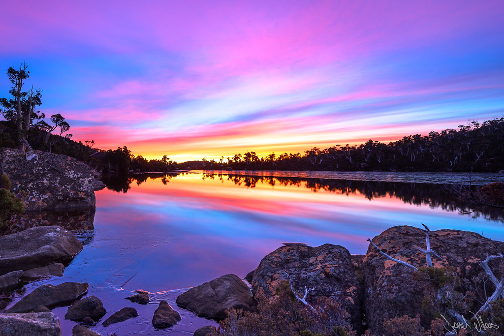
Lake Newdegate Sunrise
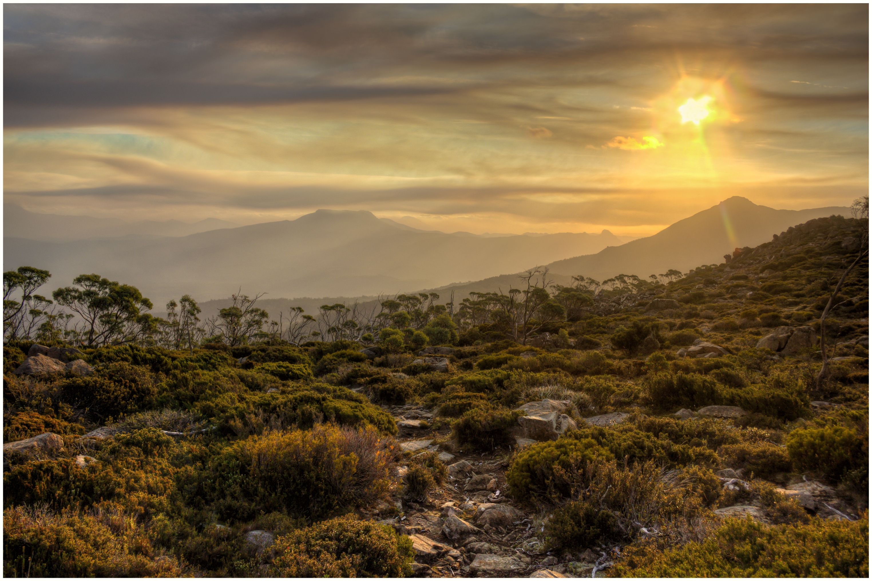
Smokey Sunset

Lake Newdegate on fire
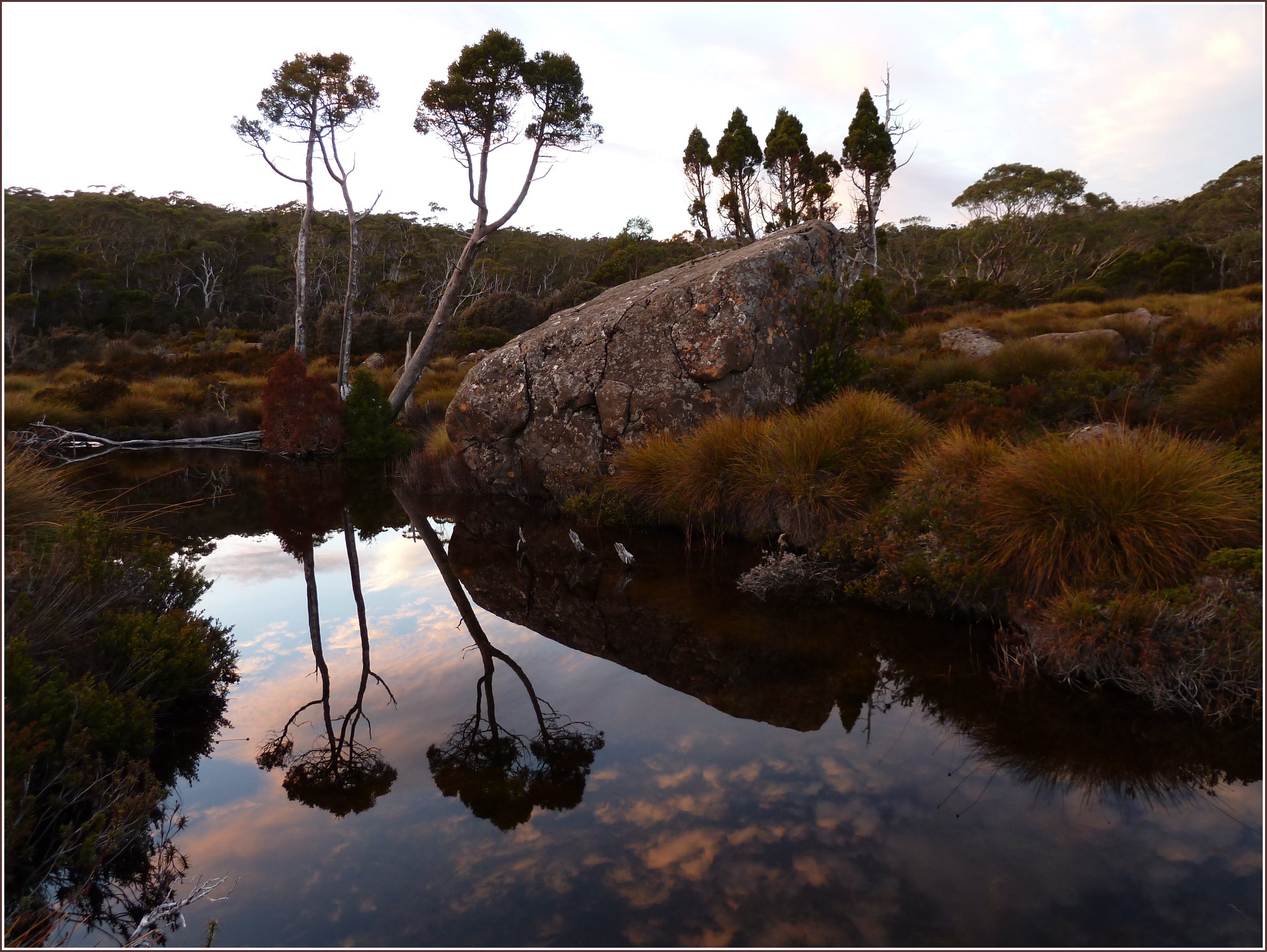
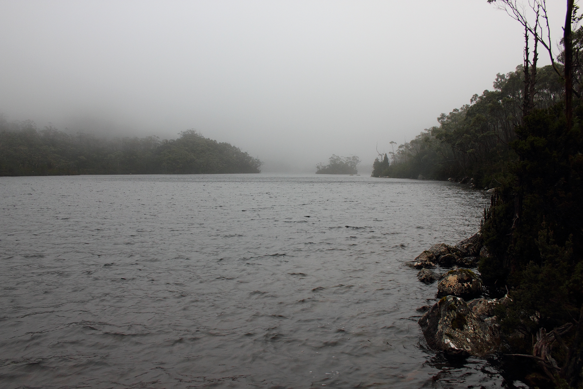
tree reflections in a tarn

The Moods of Lake Webster Part 1 - Mount Field National Park
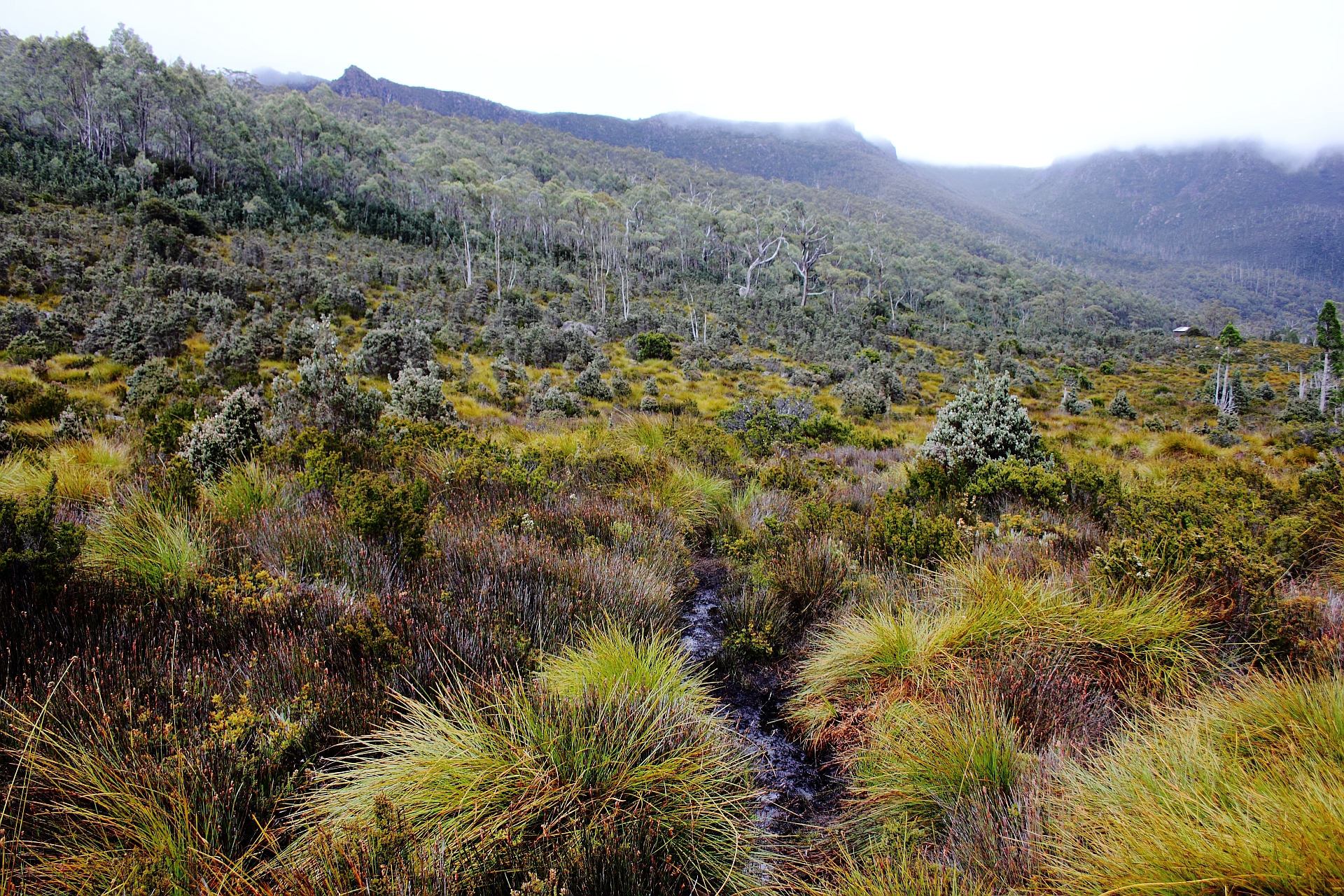
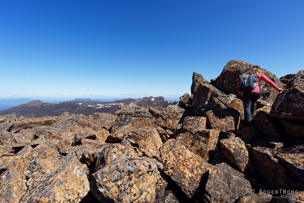
We stumble through and around the bogs near Lake Belcher
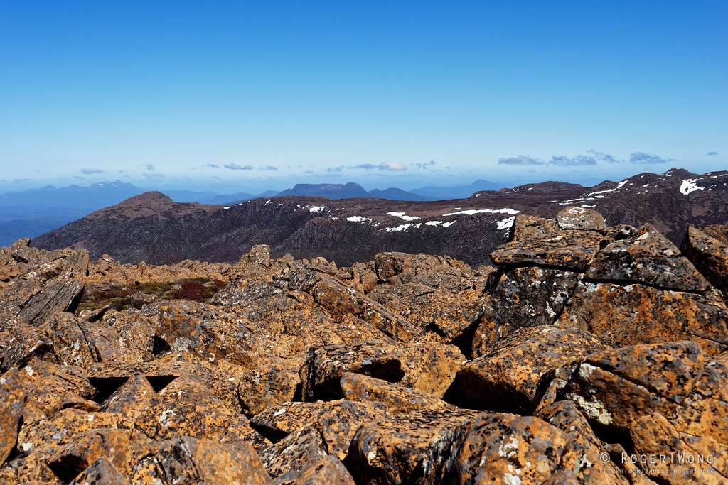
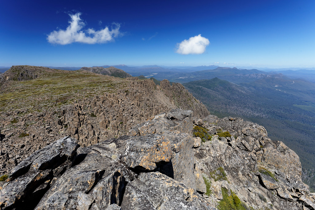
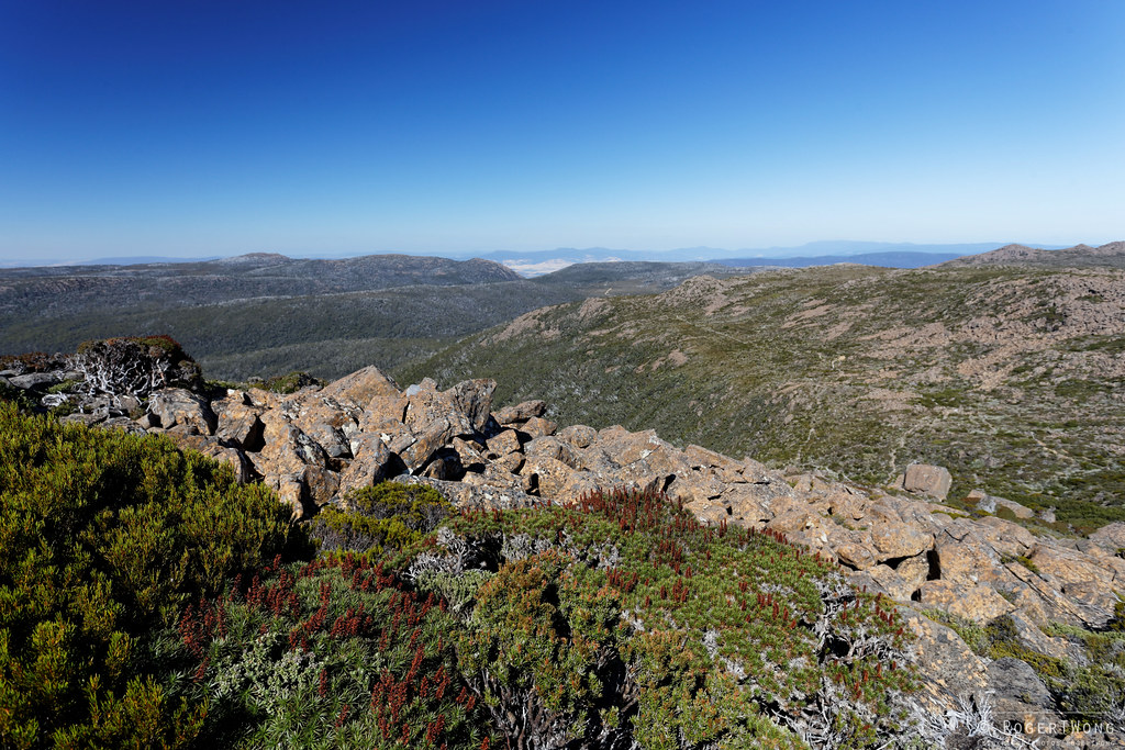
20151004-15-View from summit of Rodway Range
20151004-17-View from summit of Rodway Range
20151004-16-View from summit of Rodway Range

A view to a kill
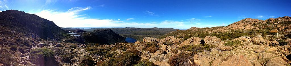
Top 'O The World
There is an Island on Lake Belton - Mount Field National Park
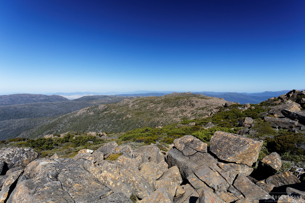
20140205-24-View from top of Mt Field West.jpg
20121105-20-View north from Wylds Craig
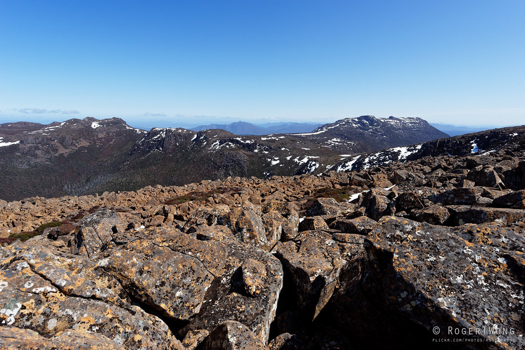
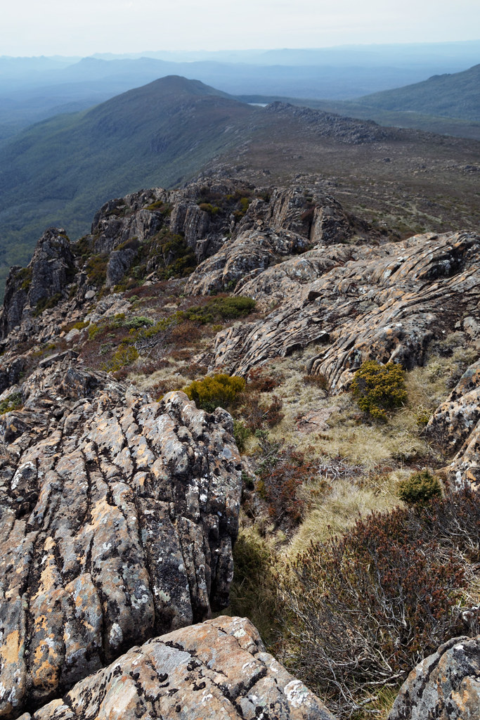
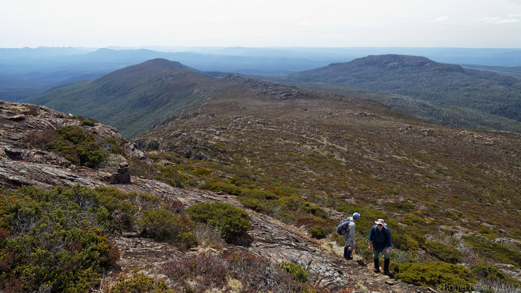
20140205-68-View from Rodway Range.jpg
20140205-69-View from Rodway Range.jpg
20121105-01-View from Wylds Craig
Florentine TAS, Australien Karte
Suchen Sie einen anderen Ort
Orte in Florentine TAS, Australien
Nahe Plätze
Tasmanien, Australien
Mount Field TAS, Australien
Lake Dobson, Mount Field TAS, Australien
Lake Fenton, Mount Field TAS, Australien
Mount-Field-Nationalpark, 66 Lake Dobson Rd, National Park TAS, Australien
Derwent Valley Municipality, Tasmanien, Australien
Maydena TAS, Australien
Ouse TAS, Australien
Tarraleah TAS, Australien
Bradys Lake TAS, Australien
Hamilton Tasmanien, Australien
Gretna TAS, Australien
Rosevale, Marked Tree Rd, Hamilton TAS, Australien
Central Highlands Municipality, Tasmanien, Australien
Bothwell Tasmanien, Australien
Elderslie TAS, Australien
New Norfolk TAS, Australien
Lachlan TAS, Australien
Dysart TAS, Australien
Lucaston TAS, Australien
Letzte Suche
- Red Dog Mine, AK, USA Sonnenaufgang Sonnenuntergang Zeiten
- Am Bahnhof, Am bhf, Borken, Germany Sonnenaufgang Sonnenuntergang Zeiten
- 4th St E, Sonoma, CA, USA Sonnenaufgang Sonnenuntergang Zeiten
- Oakland Ave, Williamsport, PA, USA Sonnenaufgang Sonnenuntergang Zeiten
- Via Roma, Pieranica CR, Italien Sonnenaufgang Sonnenuntergang Zeiten
- Glockenturm, Grad, Dubrovnik, Kroatien Sonnenaufgang Sonnenuntergang Zeiten
- Trelew, Chubut Province, Argentina Sonnenaufgang Sonnenuntergang Zeiten
- Hartfords Bluff Cir, Mt Pleasant, SC, USA Sonnenaufgang Sonnenuntergang Zeiten
- Kita-ku, Kumamoto, Präfektur Kumamoto, Japan Sonnenaufgang Sonnenuntergang Zeiten
- Pingtan Island, Pingtan County, Fuzhou, China Sonnenaufgang Sonnenuntergang Zeiten