East Kootenay C, BC, Kanada Sonnenaufgang Sonnenuntergang Zeiten
Location: Kanada > Britisch-Kolumbien > Regional District of East Kootenay >
Zeitzone:
America/Edmonton
Ortszeit:
2025-07-08 21:15:08
Länge:
-115.3879155
Breite:
49.6024018
Sonnenaufgang Heute:
05:45:40 AM
Sonnenuntergang Heute:
09:48:11 PM
Tageslänge heute:
16h 2m 31s
Sonnenaufgang morgen:
05:46:38 AM
Sonnenuntergang Morgen:
09:47:29 PM
Tageslänge von morgen:
16h 0m 51s
Alle Termine anzeigen
| Datum | Sonnenaufgang | Sonnenuntergang | Tageslänge |
|---|---|---|---|
| 2025-01-01 | 08:37:57 AM | 04:53:33 PM | 8h 15m 36s |
| 2025-01-02 | 08:37:48 AM | 04:54:37 PM | 8h 16m 49s |
| 2025-01-03 | 08:37:35 AM | 04:55:44 PM | 8h 18m 9s |
| 2025-01-04 | 08:37:20 AM | 04:56:53 PM | 8h 19m 33s |
| 2025-01-05 | 08:37:01 AM | 04:58:04 PM | 8h 21m 3s |
| 2025-01-06 | 08:36:40 AM | 04:59:17 PM | 8h 22m 37s |
| 2025-01-07 | 08:36:15 AM | 05:00:32 PM | 8h 24m 17s |
| 2025-01-08 | 08:35:48 AM | 05:01:49 PM | 8h 26m 1s |
| 2025-01-09 | 08:35:18 AM | 05:03:08 PM | 8h 27m 50s |
| 2025-01-10 | 08:34:44 AM | 05:04:28 PM | 8h 29m 44s |
| 2025-01-11 | 08:34:08 AM | 05:05:51 PM | 8h 31m 43s |
| 2025-01-12 | 08:33:29 AM | 05:07:15 PM | 8h 33m 46s |
| 2025-01-13 | 08:32:47 AM | 05:08:40 PM | 8h 35m 53s |
| 2025-01-14 | 08:32:02 AM | 05:10:07 PM | 8h 38m 5s |
| 2025-01-15 | 08:31:15 AM | 05:11:35 PM | 8h 40m 20s |
| 2025-01-16 | 08:30:24 AM | 05:13:05 PM | 8h 42m 41s |
| 2025-01-17 | 08:29:32 AM | 05:14:36 PM | 8h 45m 4s |
| 2025-01-18 | 08:28:36 AM | 05:16:08 PM | 8h 47m 32s |
| 2025-01-19 | 08:27:38 AM | 05:17:41 PM | 8h 50m 3s |
| 2025-01-20 | 08:26:38 AM | 05:19:15 PM | 8h 52m 37s |
| 2025-01-21 | 08:25:35 AM | 05:20:50 PM | 8h 55m 15s |
| 2025-01-22 | 08:24:29 AM | 05:22:26 PM | 8h 57m 57s |
| 2025-01-23 | 08:23:22 AM | 05:24:02 PM | 9h 0m 40s |
| 2025-01-24 | 08:22:12 AM | 05:25:40 PM | 9h 3m 28s |
| 2025-01-25 | 08:20:59 AM | 05:27:18 PM | 9h 6m 19s |
| 2025-01-26 | 08:19:45 AM | 05:28:57 PM | 9h 9m 12s |
| 2025-01-27 | 08:18:28 AM | 05:30:36 PM | 9h 12m 8s |
| 2025-01-28 | 08:17:09 AM | 05:32:15 PM | 9h 15m 6s |
| 2025-01-29 | 08:15:48 AM | 05:33:56 PM | 9h 18m 8s |
| 2025-01-30 | 08:14:25 AM | 05:35:36 PM | 9h 21m 11s |
| 2025-01-31 | 08:13:00 AM | 05:37:17 PM | 9h 24m 17s |
| 2025-02-01 | 08:11:33 AM | 05:38:58 PM | 9h 27m 25s |
| 2025-02-02 | 08:10:05 AM | 05:40:40 PM | 9h 30m 35s |
| 2025-02-03 | 08:08:34 AM | 05:42:21 PM | 9h 33m 47s |
| 2025-02-04 | 08:07:02 AM | 05:44:03 PM | 9h 37m 1s |
| 2025-02-05 | 08:05:28 AM | 05:45:45 PM | 9h 40m 17s |
| 2025-02-06 | 08:03:52 AM | 05:47:27 PM | 9h 43m 35s |
| 2025-02-07 | 08:02:15 AM | 05:49:09 PM | 9h 46m 54s |
| 2025-02-08 | 08:00:36 AM | 05:50:51 PM | 9h 50m 15s |
| 2025-02-09 | 07:58:56 AM | 05:52:33 PM | 9h 53m 37s |
| 2025-02-10 | 07:57:14 AM | 05:54:15 PM | 9h 57m 1s |
| 2025-02-11 | 07:55:30 AM | 05:55:57 PM | 10h 0m 27s |
| 2025-02-12 | 07:53:45 AM | 05:57:39 PM | 10h 3m 54s |
| 2025-02-13 | 07:51:59 AM | 05:59:20 PM | 10h 7m 21s |
| 2025-02-14 | 07:50:12 AM | 06:01:02 PM | 10h 10m 50s |
| 2025-02-15 | 07:48:23 AM | 06:02:43 PM | 10h 14m 20s |
| 2025-02-16 | 07:46:33 AM | 06:04:24 PM | 10h 17m 51s |
| 2025-02-17 | 07:44:42 AM | 06:06:05 PM | 10h 21m 23s |
| 2025-02-18 | 07:42:50 AM | 06:07:46 PM | 10h 24m 56s |
| 2025-02-19 | 07:40:57 AM | 06:09:27 PM | 10h 28m 30s |
| 2025-02-20 | 07:39:02 AM | 06:11:07 PM | 10h 32m 5s |
| 2025-02-21 | 07:37:07 AM | 06:12:47 PM | 10h 35m 40s |
| 2025-02-22 | 07:35:11 AM | 06:14:27 PM | 10h 39m 16s |
| 2025-02-23 | 07:33:13 AM | 06:16:06 PM | 10h 42m 53s |
| 2025-02-24 | 07:31:15 AM | 06:17:45 PM | 10h 46m 30s |
| 2025-02-25 | 07:29:16 AM | 06:19:24 PM | 10h 50m 8s |
| 2025-02-26 | 07:27:16 AM | 06:21:03 PM | 10h 53m 47s |
| 2025-02-27 | 07:25:15 AM | 06:22:42 PM | 10h 57m 27s |
| 2025-02-28 | 07:23:14 AM | 06:24:20 PM | 11h 1m 6s |
| 2025-03-01 | 07:21:12 AM | 06:25:58 PM | 11h 4m 46s |
| 2025-03-02 | 07:19:09 AM | 06:27:35 PM | 11h 8m 26s |
| 2025-03-03 | 07:17:06 AM | 06:29:12 PM | 11h 12m 6s |
| 2025-03-04 | 07:15:02 AM | 06:30:49 PM | 11h 15m 47s |
| 2025-03-05 | 07:12:57 AM | 06:32:26 PM | 11h 19m 29s |
| 2025-03-06 | 07:10:52 AM | 06:34:03 PM | 11h 23m 11s |
| 2025-03-07 | 07:08:46 AM | 06:35:39 PM | 11h 26m 53s |
| 2025-03-08 | 07:06:40 AM | 06:37:15 PM | 11h 30m 35s |
| 2025-03-09 | 08:04:39 AM | 07:38:47 PM | 11h 34m 8s |
| 2025-03-10 | 08:02:32 AM | 07:40:22 PM | 11h 37m 50s |
| 2025-03-11 | 08:00:24 AM | 07:41:58 PM | 11h 41m 34s |
| 2025-03-12 | 07:58:17 AM | 07:43:33 PM | 11h 45m 16s |
| 2025-03-13 | 07:56:09 AM | 07:45:07 PM | 11h 48m 58s |
| 2025-03-14 | 07:54:01 AM | 07:46:42 PM | 11h 52m 41s |
| 2025-03-15 | 07:51:52 AM | 07:48:17 PM | 11h 56m 25s |
| 2025-03-16 | 07:49:43 AM | 07:49:51 PM | 12h 0m 8s |
| 2025-03-17 | 07:47:34 AM | 07:51:25 PM | 12h 3m 51s |
| 2025-03-18 | 07:45:25 AM | 07:52:59 PM | 12h 7m 34s |
| 2025-03-19 | 07:43:16 AM | 07:54:33 PM | 12h 11m 17s |
| 2025-03-20 | 07:41:07 AM | 07:56:06 PM | 12h 14m 59s |
| 2025-03-21 | 07:38:58 AM | 07:57:40 PM | 12h 18m 42s |
| 2025-03-22 | 07:36:48 AM | 07:59:13 PM | 12h 22m 25s |
| 2025-03-23 | 07:34:39 AM | 08:00:46 PM | 12h 26m 7s |
| 2025-03-24 | 07:32:30 AM | 08:02:19 PM | 12h 29m 49s |
| 2025-03-25 | 07:30:20 AM | 08:03:52 PM | 12h 33m 32s |
| 2025-03-26 | 07:28:11 AM | 08:05:25 PM | 12h 37m 14s |
| 2025-03-27 | 07:26:02 AM | 08:06:58 PM | 12h 40m 56s |
| 2025-03-28 | 07:23:53 AM | 08:08:31 PM | 12h 44m 38s |
| 2025-03-29 | 07:21:45 AM | 08:10:04 PM | 12h 48m 19s |
| 2025-03-30 | 07:19:36 AM | 08:11:36 PM | 12h 52m 0s |
| 2025-03-31 | 07:17:28 AM | 08:13:09 PM | 12h 55m 41s |
| 2025-04-01 | 07:15:20 AM | 08:14:42 PM | 12h 59m 22s |
| 2025-04-02 | 07:13:12 AM | 08:16:14 PM | 13h 3m 2s |
| 2025-04-03 | 07:11:05 AM | 08:17:47 PM | 13h 6m 42s |
| 2025-04-04 | 07:08:58 AM | 08:19:19 PM | 13h 10m 21s |
| 2025-04-05 | 07:06:52 AM | 08:20:52 PM | 13h 14m 0s |
| 2025-04-06 | 07:04:46 AM | 08:22:24 PM | 13h 17m 38s |
| 2025-04-07 | 07:02:40 AM | 08:23:56 PM | 13h 21m 16s |
| 2025-04-08 | 07:00:35 AM | 08:25:29 PM | 13h 24m 54s |
| 2025-04-09 | 06:58:31 AM | 08:27:01 PM | 13h 28m 30s |
| 2025-04-10 | 06:56:27 AM | 08:28:34 PM | 13h 32m 7s |
| 2025-04-11 | 06:54:23 AM | 08:30:06 PM | 13h 35m 43s |
| 2025-04-12 | 06:52:21 AM | 08:31:38 PM | 13h 39m 17s |
| 2025-04-13 | 06:50:19 AM | 08:33:11 PM | 13h 42m 52s |
| 2025-04-14 | 06:48:17 AM | 08:34:43 PM | 13h 46m 26s |
| 2025-04-15 | 06:46:17 AM | 08:36:15 PM | 13h 49m 58s |
| 2025-04-16 | 06:44:17 AM | 08:37:48 PM | 13h 53m 31s |
| 2025-04-17 | 06:42:18 AM | 08:39:20 PM | 13h 57m 2s |
| 2025-04-18 | 06:40:20 AM | 08:40:52 PM | 14h 0m 32s |
| 2025-04-19 | 06:38:23 AM | 08:42:24 PM | 14h 4m 1s |
| 2025-04-20 | 06:36:26 AM | 08:43:56 PM | 14h 7m 30s |
| 2025-04-21 | 06:34:31 AM | 08:45:28 PM | 14h 10m 57s |
| 2025-04-22 | 06:32:37 AM | 08:47:00 PM | 14h 14m 23s |
| 2025-04-23 | 06:30:43 AM | 08:48:32 PM | 14h 17m 49s |
| 2025-04-24 | 06:28:51 AM | 08:50:04 PM | 14h 21m 13s |
| 2025-04-25 | 06:27:00 AM | 08:51:35 PM | 14h 24m 35s |
| 2025-04-26 | 06:25:10 AM | 08:53:07 PM | 14h 27m 57s |
| 2025-04-27 | 06:23:22 AM | 08:54:38 PM | 14h 31m 16s |
| 2025-04-28 | 06:21:34 AM | 08:56:09 PM | 14h 34m 35s |
| 2025-04-29 | 06:19:48 AM | 08:57:40 PM | 14h 37m 52s |
| 2025-04-30 | 06:18:03 AM | 08:59:10 PM | 14h 41m 7s |
| 2025-05-01 | 06:16:20 AM | 09:00:40 PM | 14h 44m 20s |
| 2025-05-02 | 06:14:37 AM | 09:02:10 PM | 14h 47m 33s |
| 2025-05-03 | 06:12:57 AM | 09:03:40 PM | 14h 50m 43s |
| 2025-05-04 | 06:11:18 AM | 09:05:09 PM | 14h 53m 51s |
| 2025-05-05 | 06:09:40 AM | 09:06:38 PM | 14h 56m 58s |
| 2025-05-06 | 06:08:04 AM | 09:08:06 PM | 15h 0m 2s |
| 2025-05-07 | 06:06:30 AM | 09:09:34 PM | 15h 3m 4s |
| 2025-05-08 | 06:04:57 AM | 09:11:01 PM | 15h 6m 4s |
| 2025-05-09 | 06:03:26 AM | 09:12:28 PM | 15h 9m 2s |
| 2025-05-10 | 06:01:57 AM | 09:13:54 PM | 15h 11m 57s |
| 2025-05-11 | 06:00:29 AM | 09:15:20 PM | 15h 14m 51s |
| 2025-05-12 | 05:59:04 AM | 09:16:44 PM | 15h 17m 40s |
| 2025-05-13 | 05:57:40 AM | 09:18:08 PM | 15h 20m 28s |
| 2025-05-14 | 05:56:18 AM | 09:19:32 PM | 15h 23m 14s |
| 2025-05-15 | 05:54:58 AM | 09:20:54 PM | 15h 25m 56s |
| 2025-05-16 | 05:53:40 AM | 09:22:15 PM | 15h 28m 35s |
| 2025-05-17 | 05:52:25 AM | 09:23:36 PM | 15h 31m 11s |
| 2025-05-18 | 05:51:11 AM | 09:24:55 PM | 15h 33m 44s |
| 2025-05-19 | 05:50:00 AM | 09:26:14 PM | 15h 36m 14s |
| 2025-05-20 | 05:48:51 AM | 09:27:31 PM | 15h 38m 40s |
| 2025-05-21 | 05:47:44 AM | 09:28:47 PM | 15h 41m 3s |
| 2025-05-22 | 05:46:39 AM | 09:30:02 PM | 15h 43m 23s |
| 2025-05-23 | 05:45:37 AM | 09:31:15 PM | 15h 45m 38s |
| 2025-05-24 | 05:44:37 AM | 09:32:27 PM | 15h 47m 50s |
| 2025-05-25 | 05:43:39 AM | 09:33:38 PM | 15h 49m 59s |
| 2025-05-26 | 05:42:44 AM | 09:34:47 PM | 15h 52m 3s |
| 2025-05-27 | 05:41:51 AM | 09:35:55 PM | 15h 54m 4s |
| 2025-05-28 | 05:41:01 AM | 09:37:01 PM | 15h 56m 0s |
| 2025-05-29 | 05:40:14 AM | 09:38:05 PM | 15h 57m 51s |
| 2025-05-30 | 05:39:29 AM | 09:39:08 PM | 15h 59m 39s |
| 2025-05-31 | 05:38:46 AM | 09:40:09 PM | 16h 1m 23s |
| 2025-06-01 | 05:38:07 AM | 09:41:07 PM | 16h 3m 0s |
| 2025-06-02 | 05:37:29 AM | 09:42:04 PM | 16h 4m 35s |
| 2025-06-03 | 05:36:55 AM | 09:42:59 PM | 16h 6m 4s |
| 2025-06-04 | 05:36:23 AM | 09:43:52 PM | 16h 7m 29s |
| 2025-06-05 | 05:35:55 AM | 09:44:43 PM | 16h 8m 48s |
| 2025-06-06 | 05:35:28 AM | 09:45:32 PM | 16h 10m 4s |
| 2025-06-07 | 05:35:05 AM | 09:46:18 PM | 16h 11m 13s |
| 2025-06-08 | 05:34:45 AM | 09:47:02 PM | 16h 12m 17s |
| 2025-06-09 | 05:34:27 AM | 09:47:44 PM | 16h 13m 17s |
| 2025-06-10 | 05:34:12 AM | 09:48:23 PM | 16h 14m 11s |
| 2025-06-11 | 05:34:00 AM | 09:49:00 PM | 16h 15m 0s |
| 2025-06-12 | 05:33:51 AM | 09:49:34 PM | 16h 15m 43s |
| 2025-06-13 | 05:33:44 AM | 09:50:06 PM | 16h 16m 22s |
| 2025-06-14 | 05:33:40 AM | 09:50:36 PM | 16h 16m 56s |
| 2025-06-15 | 05:33:40 AM | 09:51:02 PM | 16h 17m 22s |
| 2025-06-16 | 05:33:41 AM | 09:51:26 PM | 16h 17m 45s |
| 2025-06-17 | 05:33:46 AM | 09:51:48 PM | 16h 18m 2s |
| 2025-06-18 | 05:33:54 AM | 09:52:07 PM | 16h 18m 13s |
| 2025-06-19 | 05:34:04 AM | 09:52:22 PM | 16h 18m 18s |
| 2025-06-20 | 05:34:17 AM | 09:52:36 PM | 16h 18m 19s |
| 2025-06-21 | 05:34:33 AM | 09:52:46 PM | 16h 18m 13s |
| 2025-06-22 | 05:34:51 AM | 09:52:53 PM | 16h 18m 2s |
| 2025-06-23 | 05:35:12 AM | 09:52:58 PM | 16h 17m 46s |
| 2025-06-24 | 05:35:36 AM | 09:53:00 PM | 16h 17m 24s |
| 2025-06-25 | 05:36:02 AM | 09:52:59 PM | 16h 16m 57s |
| 2025-06-26 | 05:36:31 AM | 09:52:55 PM | 16h 16m 24s |
| 2025-06-27 | 05:37:02 AM | 09:52:49 PM | 16h 15m 47s |
| 2025-06-28 | 05:37:36 AM | 09:52:39 PM | 16h 15m 3s |
| 2025-06-29 | 05:38:12 AM | 09:52:26 PM | 16h 14m 14s |
| 2025-06-30 | 05:38:50 AM | 09:52:11 PM | 16h 13m 21s |
| 2025-07-01 | 05:39:31 AM | 09:51:53 PM | 16h 12m 22s |
| 2025-07-02 | 05:40:14 AM | 09:51:32 PM | 16h 11m 18s |
| 2025-07-03 | 05:40:59 AM | 09:51:08 PM | 16h 10m 9s |
| 2025-07-04 | 05:41:47 AM | 09:50:42 PM | 16h 8m 55s |
| 2025-07-05 | 05:42:36 AM | 09:50:12 PM | 16h 7m 36s |
| 2025-07-06 | 05:43:28 AM | 09:49:40 PM | 16h 6m 12s |
| 2025-07-07 | 05:44:21 AM | 09:49:05 PM | 16h 4m 44s |
| 2025-07-08 | 05:45:16 AM | 09:48:27 PM | 16h 3m 11s |
| 2025-07-09 | 05:46:14 AM | 09:47:47 PM | 16h 1m 33s |
| 2025-07-10 | 05:47:13 AM | 09:47:04 PM | 15h 59m 51s |
| 2025-07-11 | 05:48:14 AM | 09:46:18 PM | 15h 58m 4s |
| 2025-07-12 | 05:49:16 AM | 09:45:30 PM | 15h 56m 14s |
| 2025-07-13 | 05:50:20 AM | 09:44:39 PM | 15h 54m 19s |
| 2025-07-14 | 05:51:26 AM | 09:43:45 PM | 15h 52m 19s |
| 2025-07-15 | 05:52:33 AM | 09:42:50 PM | 15h 50m 17s |
| 2025-07-16 | 05:53:41 AM | 09:41:51 PM | 15h 48m 10s |
| 2025-07-17 | 05:54:51 AM | 09:40:50 PM | 15h 45m 59s |
| 2025-07-18 | 05:56:02 AM | 09:39:47 PM | 15h 43m 45s |
| 2025-07-19 | 05:57:14 AM | 09:38:42 PM | 15h 41m 28s |
| 2025-07-20 | 05:58:28 AM | 09:37:34 PM | 15h 39m 6s |
| 2025-07-21 | 05:59:42 AM | 09:36:24 PM | 15h 36m 42s |
| 2025-07-22 | 06:00:58 AM | 09:35:11 PM | 15h 34m 13s |
| 2025-07-23 | 06:02:15 AM | 09:33:57 PM | 15h 31m 42s |
| 2025-07-24 | 06:03:32 AM | 09:32:40 PM | 15h 29m 8s |
| 2025-07-25 | 06:04:51 AM | 09:31:22 PM | 15h 26m 31s |
| 2025-07-26 | 06:06:10 AM | 09:30:01 PM | 15h 23m 51s |
| 2025-07-27 | 06:07:30 AM | 09:28:38 PM | 15h 21m 8s |
| 2025-07-28 | 06:08:51 AM | 09:27:13 PM | 15h 18m 22s |
| 2025-07-29 | 06:10:13 AM | 09:25:47 PM | 15h 15m 34s |
| 2025-07-30 | 06:11:35 AM | 09:24:18 PM | 15h 12m 43s |
| 2025-07-31 | 06:12:58 AM | 09:22:48 PM | 15h 9m 50s |
| 2025-08-01 | 06:14:21 AM | 09:21:16 PM | 15h 6m 55s |
| 2025-08-02 | 06:15:45 AM | 09:19:43 PM | 15h 3m 58s |
| 2025-08-03 | 06:17:09 AM | 09:18:07 PM | 15h 0m 58s |
| 2025-08-04 | 06:18:34 AM | 09:16:30 PM | 14h 57m 56s |
| 2025-08-05 | 06:19:59 AM | 09:14:51 PM | 14h 54m 52s |
| 2025-08-06 | 06:21:25 AM | 09:13:11 PM | 14h 51m 46s |
| 2025-08-07 | 06:22:51 AM | 09:11:30 PM | 14h 48m 39s |
| 2025-08-08 | 06:24:17 AM | 09:09:47 PM | 14h 45m 30s |
| 2025-08-09 | 06:25:43 AM | 09:08:02 PM | 14h 42m 19s |
| 2025-08-10 | 06:27:10 AM | 09:06:16 PM | 14h 39m 6s |
| 2025-08-11 | 06:28:36 AM | 09:04:29 PM | 14h 35m 53s |
| 2025-08-12 | 06:30:03 AM | 09:02:40 PM | 14h 32m 37s |
| 2025-08-13 | 06:31:31 AM | 09:00:51 PM | 14h 29m 20s |
| 2025-08-14 | 06:32:58 AM | 08:59:00 PM | 14h 26m 2s |
| 2025-08-15 | 06:34:25 AM | 08:57:08 PM | 14h 22m 43s |
| 2025-08-16 | 06:35:53 AM | 08:55:14 PM | 14h 19m 21s |
| 2025-08-17 | 06:37:20 AM | 08:53:20 PM | 14h 16m 0s |
| 2025-08-18 | 06:38:48 AM | 08:51:24 PM | 14h 12m 36s |
| 2025-08-19 | 06:40:16 AM | 08:49:28 PM | 14h 9m 12s |
| 2025-08-20 | 06:41:43 AM | 08:47:31 PM | 14h 5m 48s |
| 2025-08-21 | 06:43:11 AM | 08:45:32 PM | 14h 2m 21s |
| 2025-08-22 | 06:44:39 AM | 08:43:33 PM | 13h 58m 54s |
| 2025-08-23 | 06:46:07 AM | 08:41:33 PM | 13h 55m 26s |
| 2025-08-24 | 06:47:34 AM | 08:39:32 PM | 13h 51m 58s |
| 2025-08-25 | 06:49:02 AM | 08:37:30 PM | 13h 48m 28s |
| 2025-08-26 | 06:50:30 AM | 08:35:28 PM | 13h 44m 58s |
| 2025-08-27 | 06:51:58 AM | 08:33:25 PM | 13h 41m 27s |
| 2025-08-28 | 06:53:25 AM | 08:31:21 PM | 13h 37m 56s |
| 2025-08-29 | 06:54:53 AM | 08:29:16 PM | 13h 34m 23s |
| 2025-08-30 | 06:56:21 AM | 08:27:11 PM | 13h 30m 50s |
| 2025-08-31 | 06:57:48 AM | 08:25:05 PM | 13h 27m 17s |
| 2025-09-01 | 06:59:16 AM | 08:22:59 PM | 13h 23m 43s |
| 2025-09-02 | 07:00:44 AM | 08:20:52 PM | 13h 20m 8s |
| 2025-09-03 | 07:02:11 AM | 08:18:45 PM | 13h 16m 34s |
| 2025-09-04 | 07:03:39 AM | 08:16:37 PM | 13h 12m 58s |
| 2025-09-05 | 07:05:07 AM | 08:14:29 PM | 13h 9m 22s |
| 2025-09-06 | 07:06:34 AM | 08:12:20 PM | 13h 5m 46s |
| 2025-09-07 | 07:08:02 AM | 08:10:11 PM | 13h 2m 9s |
| 2025-09-08 | 07:09:29 AM | 08:08:02 PM | 12h 58m 33s |
| 2025-09-09 | 07:10:57 AM | 08:05:52 PM | 12h 54m 55s |
| 2025-09-10 | 07:12:25 AM | 08:03:42 PM | 12h 51m 17s |
| 2025-09-11 | 07:13:52 AM | 08:01:32 PM | 12h 47m 40s |
| 2025-09-12 | 07:15:20 AM | 07:59:22 PM | 12h 44m 2s |
| 2025-09-13 | 07:16:48 AM | 07:57:11 PM | 12h 40m 23s |
| 2025-09-14 | 07:18:16 AM | 07:55:01 PM | 12h 36m 45s |
| 2025-09-15 | 07:19:44 AM | 07:52:50 PM | 12h 33m 6s |
| 2025-09-16 | 07:21:12 AM | 07:50:39 PM | 12h 29m 27s |
| 2025-09-17 | 07:22:40 AM | 07:48:28 PM | 12h 25m 48s |
| 2025-09-18 | 07:24:08 AM | 07:46:17 PM | 12h 22m 9s |
| 2025-09-19 | 07:25:36 AM | 07:44:06 PM | 12h 18m 30s |
| 2025-09-20 | 07:27:05 AM | 07:41:55 PM | 12h 14m 50s |
| 2025-09-21 | 07:28:33 AM | 07:39:44 PM | 12h 11m 11s |
| 2025-09-22 | 07:30:02 AM | 07:37:33 PM | 12h 7m 31s |
| 2025-09-23 | 07:31:31 AM | 07:35:23 PM | 12h 3m 52s |
| 2025-09-24 | 07:33:00 AM | 07:33:12 PM | 12h 0m 12s |
| 2025-09-25 | 07:34:29 AM | 07:31:02 PM | 11h 56m 33s |
| 2025-09-26 | 07:35:58 AM | 07:28:51 PM | 11h 52m 53s |
| 2025-09-27 | 07:37:28 AM | 07:26:41 PM | 11h 49m 13s |
| 2025-09-28 | 07:38:58 AM | 07:24:32 PM | 11h 45m 34s |
| 2025-09-29 | 07:40:28 AM | 07:22:22 PM | 11h 41m 54s |
| 2025-09-30 | 07:41:58 AM | 07:20:13 PM | 11h 38m 15s |
| 2025-10-01 | 07:43:28 AM | 07:18:05 PM | 11h 34m 37s |
| 2025-10-02 | 07:44:59 AM | 07:15:57 PM | 11h 30m 58s |
| 2025-10-03 | 07:46:30 AM | 07:13:49 PM | 11h 27m 19s |
| 2025-10-04 | 07:48:01 AM | 07:11:41 PM | 11h 23m 40s |
| 2025-10-05 | 07:49:33 AM | 07:09:34 PM | 11h 20m 1s |
| 2025-10-06 | 07:51:05 AM | 07:07:28 PM | 11h 16m 23s |
| 2025-10-07 | 07:52:37 AM | 07:05:22 PM | 11h 12m 45s |
| 2025-10-08 | 07:54:09 AM | 07:03:17 PM | 11h 9m 8s |
| 2025-10-09 | 07:55:42 AM | 07:01:12 PM | 11h 5m 30s |
| 2025-10-10 | 07:57:15 AM | 06:59:09 PM | 11h 1m 54s |
| 2025-10-11 | 07:58:48 AM | 06:57:05 PM | 10h 58m 17s |
| 2025-10-12 | 08:00:21 AM | 06:55:03 PM | 10h 54m 42s |
| 2025-10-13 | 08:01:55 AM | 06:53:01 PM | 10h 51m 6s |
| 2025-10-14 | 08:03:29 AM | 06:51:00 PM | 10h 47m 31s |
| 2025-10-15 | 08:05:04 AM | 06:49:00 PM | 10h 43m 56s |
| 2025-10-16 | 08:06:39 AM | 06:47:01 PM | 10h 40m 22s |
| 2025-10-17 | 08:08:14 AM | 06:45:02 PM | 10h 36m 48s |
| 2025-10-18 | 08:09:49 AM | 06:43:05 PM | 10h 33m 16s |
| 2025-10-19 | 08:11:25 AM | 06:41:09 PM | 10h 29m 44s |
| 2025-10-20 | 08:13:00 AM | 06:39:13 PM | 10h 26m 13s |
| 2025-10-21 | 08:14:37 AM | 06:37:19 PM | 10h 22m 42s |
| 2025-10-22 | 08:16:13 AM | 06:35:26 PM | 10h 19m 13s |
| 2025-10-23 | 08:17:50 AM | 06:33:34 PM | 10h 15m 44s |
| 2025-10-24 | 08:19:27 AM | 06:31:43 PM | 10h 12m 16s |
| 2025-10-25 | 08:21:04 AM | 06:29:53 PM | 10h 8m 49s |
| 2025-10-26 | 08:22:41 AM | 06:28:05 PM | 10h 5m 24s |
| 2025-10-27 | 08:24:18 AM | 06:26:18 PM | 10h 2m 0s |
| 2025-10-28 | 08:25:56 AM | 06:24:32 PM | 9h 58m 36s |
| 2025-10-29 | 08:27:34 AM | 06:22:48 PM | 9h 55m 14s |
| 2025-10-30 | 08:29:12 AM | 06:21:05 PM | 9h 51m 53s |
| 2025-10-31 | 08:30:50 AM | 06:19:24 PM | 9h 48m 34s |
| 2025-11-01 | 08:32:28 AM | 06:17:44 PM | 9h 45m 16s |
| 2025-11-02 | 07:34:10 AM | 05:16:02 PM | 9h 41m 52s |
| 2025-11-03 | 07:35:48 AM | 05:14:26 PM | 9h 38m 38s |
| 2025-11-04 | 07:37:26 AM | 05:12:51 PM | 9h 35m 25s |
| 2025-11-05 | 07:39:04 AM | 05:11:18 PM | 9h 32m 14s |
| 2025-11-06 | 07:40:42 AM | 05:09:47 PM | 9h 29m 5s |
| 2025-11-07 | 07:42:20 AM | 05:08:17 PM | 9h 25m 57s |
| 2025-11-08 | 07:43:58 AM | 05:06:50 PM | 9h 22m 52s |
| 2025-11-09 | 07:45:35 AM | 05:05:24 PM | 9h 19m 49s |
| 2025-11-10 | 07:47:12 AM | 05:04:00 PM | 9h 16m 48s |
| 2025-11-11 | 07:48:49 AM | 05:02:39 PM | 9h 13m 50s |
| 2025-11-12 | 07:50:25 AM | 05:01:19 PM | 9h 10m 54s |
| 2025-11-13 | 07:52:01 AM | 05:00:02 PM | 9h 8m 1s |
| 2025-11-14 | 07:53:36 AM | 04:58:47 PM | 9h 5m 11s |
| 2025-11-15 | 07:55:11 AM | 04:57:34 PM | 9h 2m 23s |
| 2025-11-16 | 07:56:45 AM | 04:56:23 PM | 8h 59m 38s |
| 2025-11-17 | 07:58:19 AM | 04:55:15 PM | 8h 56m 56s |
| 2025-11-18 | 07:59:52 AM | 04:54:09 PM | 8h 54m 17s |
| 2025-11-19 | 08:01:24 AM | 04:53:06 PM | 8h 51m 42s |
| 2025-11-20 | 08:02:55 AM | 04:52:05 PM | 8h 49m 10s |
| 2025-11-21 | 08:04:25 AM | 04:51:06 PM | 8h 46m 41s |
| 2025-11-22 | 08:05:54 AM | 04:50:10 PM | 8h 44m 16s |
| 2025-11-23 | 08:07:22 AM | 04:49:17 PM | 8h 41m 55s |
| 2025-11-24 | 08:08:49 AM | 04:48:26 PM | 8h 39m 37s |
| 2025-11-25 | 08:10:15 AM | 04:47:39 PM | 8h 37m 24s |
| 2025-11-26 | 08:11:39 AM | 04:46:53 PM | 8h 35m 14s |
| 2025-11-27 | 08:13:02 AM | 04:46:11 PM | 8h 33m 9s |
| 2025-11-28 | 08:14:24 AM | 04:45:32 PM | 8h 31m 8s |
| 2025-11-29 | 08:15:44 AM | 04:44:55 PM | 8h 29m 11s |
| 2025-11-30 | 08:17:02 AM | 04:44:21 PM | 8h 27m 19s |
| 2025-12-01 | 08:18:19 AM | 04:43:51 PM | 8h 25m 32s |
| 2025-12-02 | 08:19:34 AM | 04:43:23 PM | 8h 23m 49s |
| 2025-12-03 | 08:20:47 AM | 04:42:58 PM | 8h 22m 11s |
| 2025-12-04 | 08:21:58 AM | 04:42:37 PM | 8h 20m 39s |
| 2025-12-05 | 08:23:08 AM | 04:42:18 PM | 8h 19m 10s |
| 2025-12-06 | 08:24:15 AM | 04:42:03 PM | 8h 17m 48s |
| 2025-12-07 | 08:25:20 AM | 04:41:50 PM | 8h 16m 30s |
| 2025-12-08 | 08:26:22 AM | 04:41:41 PM | 8h 15m 19s |
| 2025-12-09 | 08:27:23 AM | 04:41:35 PM | 8h 14m 12s |
| 2025-12-10 | 08:28:21 AM | 04:41:32 PM | 8h 13m 11s |
| 2025-12-11 | 08:29:17 AM | 04:41:32 PM | 8h 12m 15s |
| 2025-12-12 | 08:30:10 AM | 04:41:35 PM | 8h 11m 25s |
| 2025-12-13 | 08:31:01 AM | 04:41:42 PM | 8h 10m 41s |
| 2025-12-14 | 08:31:49 AM | 04:41:52 PM | 8h 10m 3s |
| 2025-12-15 | 08:32:34 AM | 04:42:04 PM | 8h 9m 30s |
| 2025-12-16 | 08:33:17 AM | 04:42:20 PM | 8h 9m 3s |
| 2025-12-17 | 08:33:57 AM | 04:42:39 PM | 8h 8m 42s |
| 2025-12-18 | 08:34:34 AM | 04:43:02 PM | 8h 8m 28s |
| 2025-12-19 | 08:35:08 AM | 04:43:27 PM | 8h 8m 19s |
| 2025-12-20 | 08:35:39 AM | 04:43:55 PM | 8h 8m 16s |
| 2025-12-21 | 08:36:08 AM | 04:44:26 PM | 8h 8m 18s |
| 2025-12-22 | 08:36:33 AM | 04:45:01 PM | 8h 8m 28s |
| 2025-12-23 | 08:36:56 AM | 04:45:38 PM | 8h 8m 42s |
| 2025-12-24 | 08:37:15 AM | 04:46:18 PM | 8h 9m 3s |
| 2025-12-25 | 08:37:31 AM | 04:47:01 PM | 8h 9m 30s |
| 2025-12-26 | 08:37:44 AM | 04:47:47 PM | 8h 10m 3s |
| 2025-12-27 | 08:37:55 AM | 04:48:35 PM | 8h 10m 40s |
| 2025-12-28 | 08:38:02 AM | 04:49:27 PM | 8h 11m 25s |
| 2025-12-29 | 08:38:05 AM | 04:50:21 PM | 8h 12m 16s |
| 2025-12-30 | 08:38:06 AM | 04:51:17 PM | 8h 13m 11s |
| 2025-12-31 | 08:38:04 AM | 04:52:16 PM | 8h 14m 12s |
Fotos

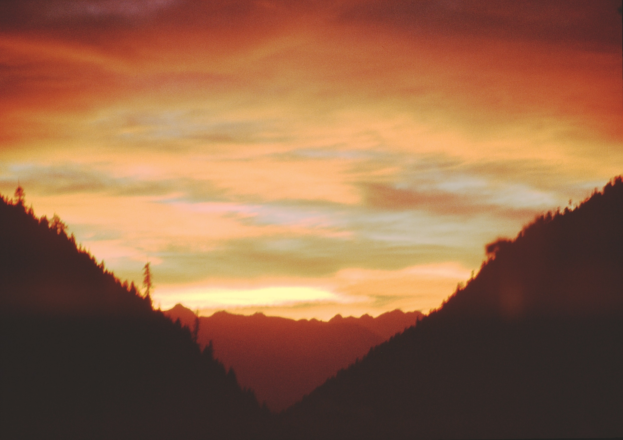
Norbury Lake at Evening
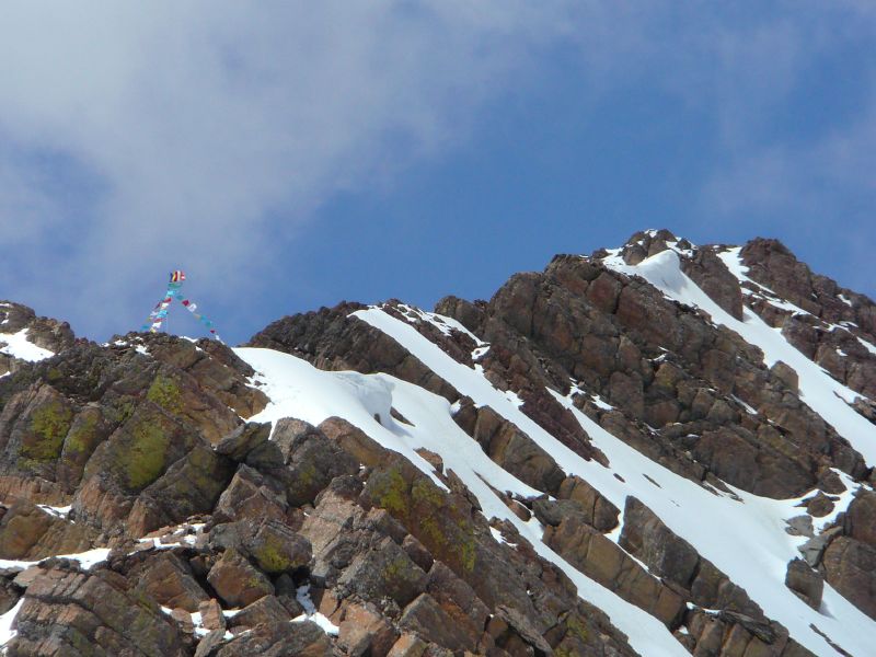
climb up Mt Fisher 29
climb up Mt Fisher 28
Blue, brown and white

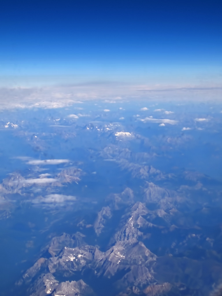
The Canadian Rockies
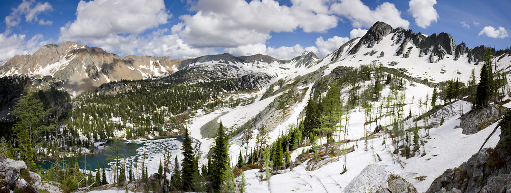
Tanglefoot Lake Panorama

this garden

CP 4CWR-08 @ Fenwick, BC

Kootenay Fish Hatchery day! Oskar tried out the fish food, too.
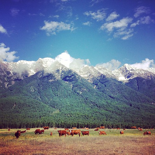
Came across these majestic creatures on the side of the road today. #Cranbrook #2fliesbc #beautifulbc #landscape #wildlife

The sight lines here are to die for. #photographersdream #landscape #2fliesbc
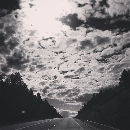
On the open #road today exploring the horizons between #Wardner & Cranbrook #2fliesbc #roadtrip #landscape
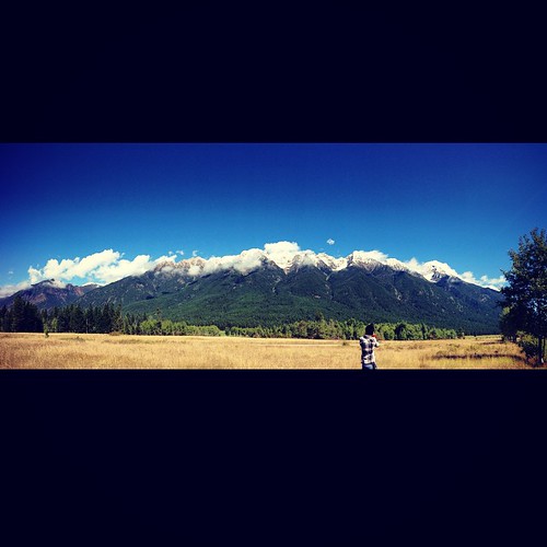
The mountains here are stunning. #2fliesbc #beautifulbc #photographer
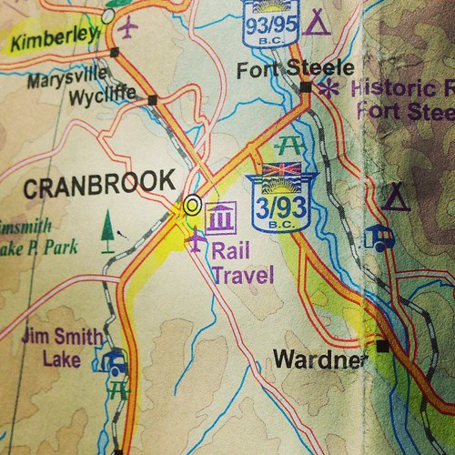
Today's day trip, heading from Wardner to the historic RCMP Fort Steele on back roads. #2fliesbc #beautifulbc #map #photographer
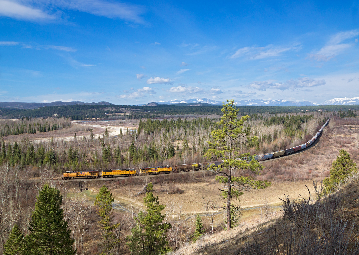
UP 5540 East @ Fort Steele, BC
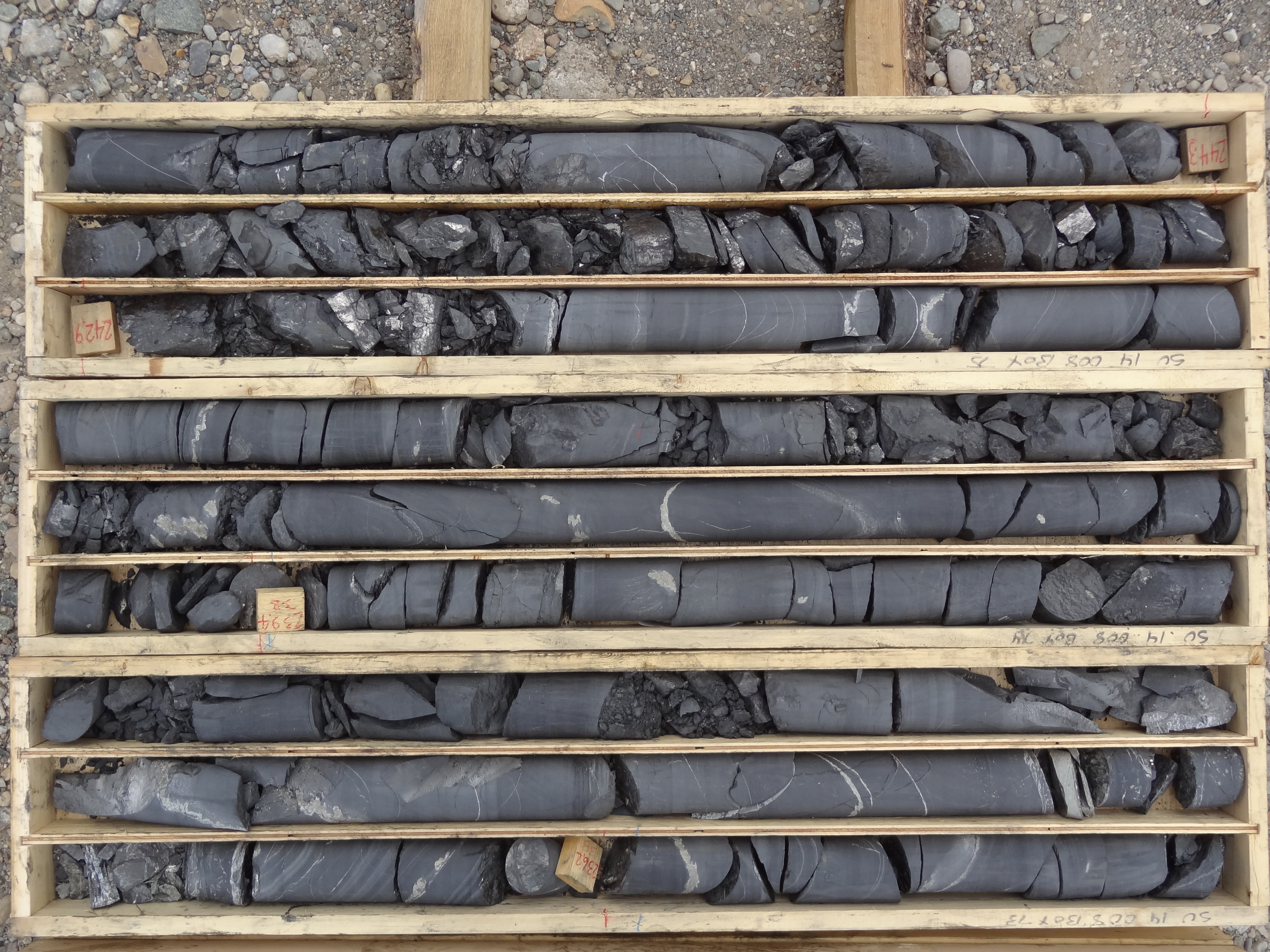
SU14_08 235.6 to 245.2
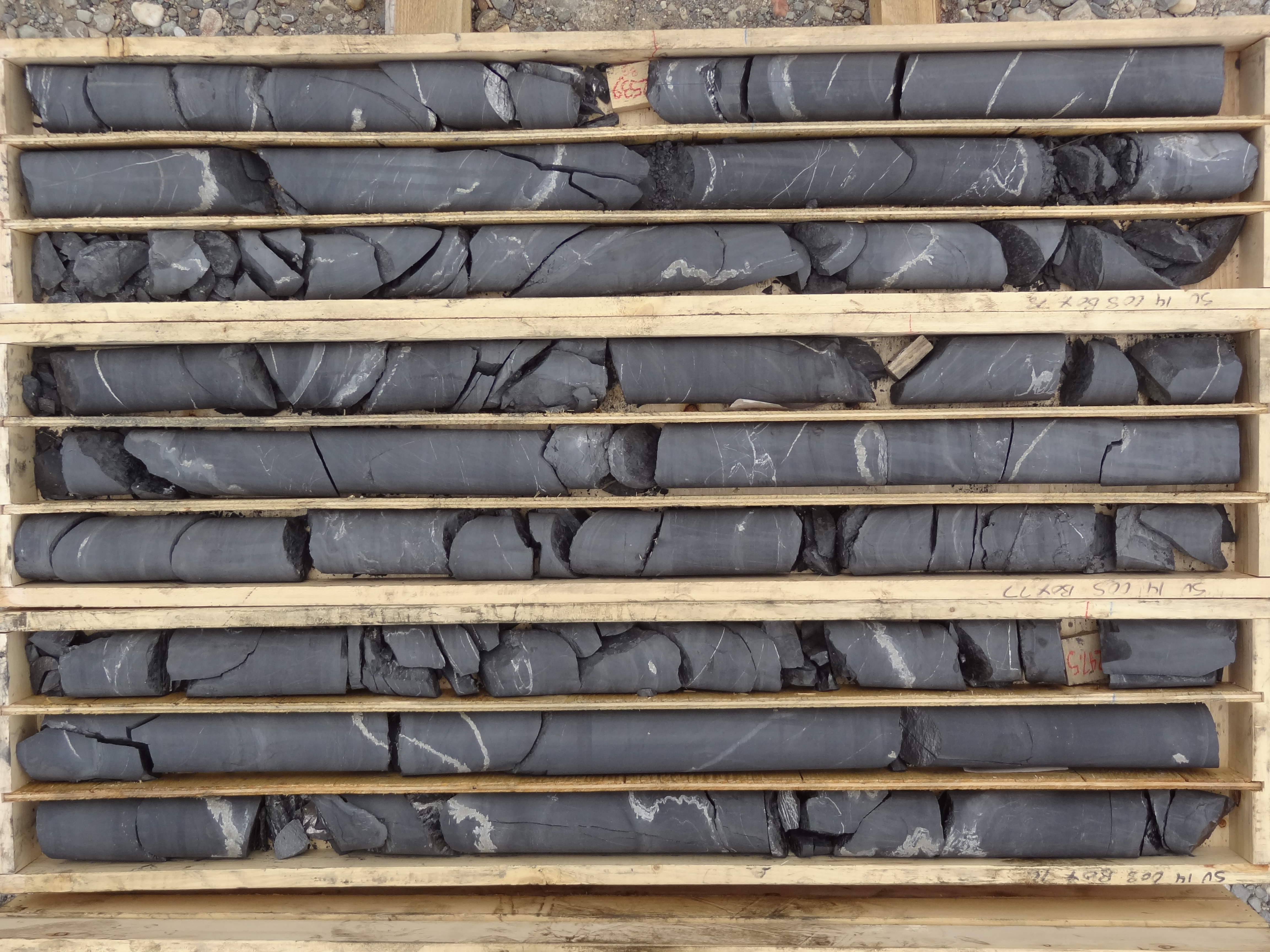
SU14_08 245.2 to 254.5
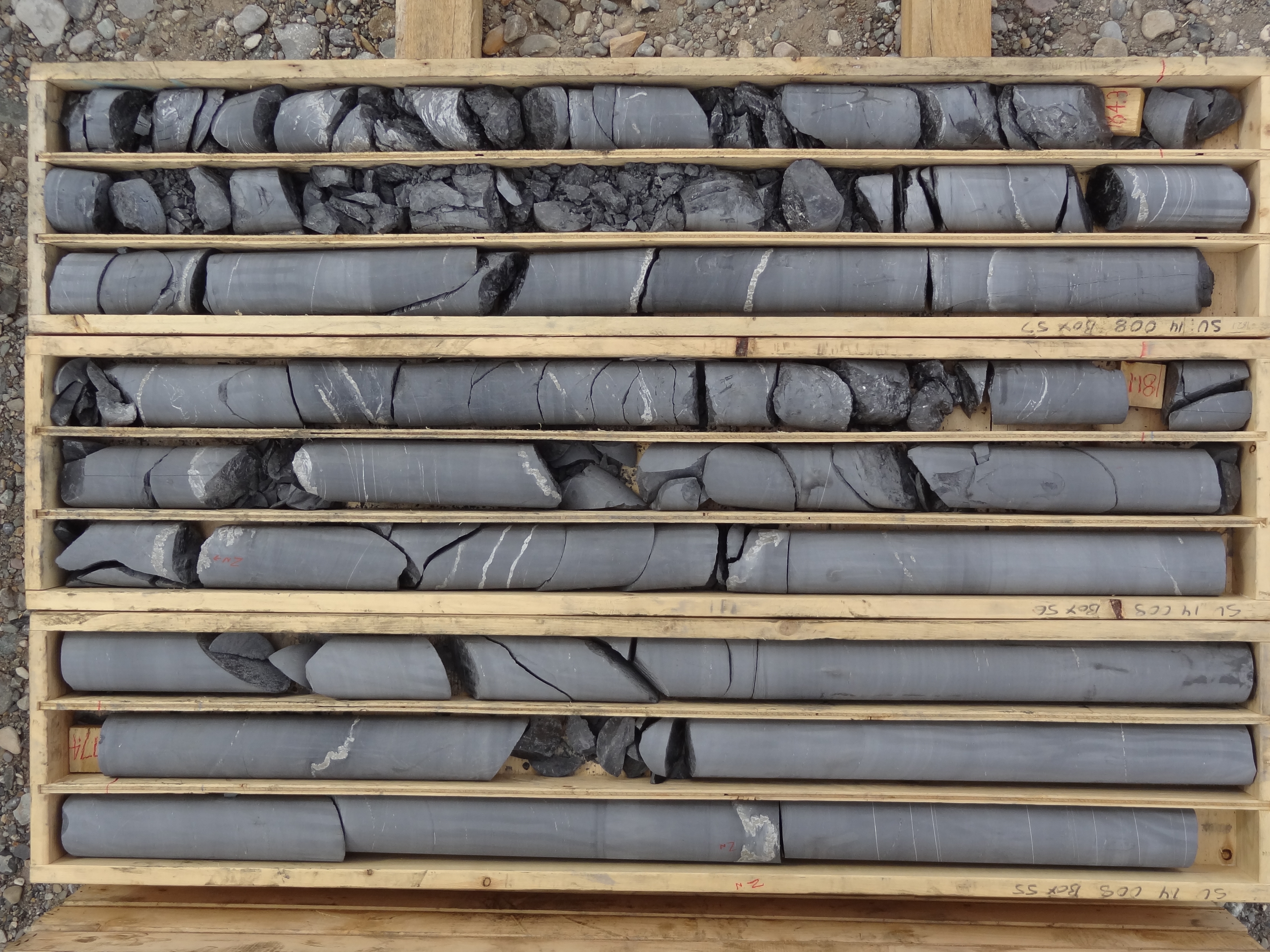
SU14_08 175.5 to 185.4
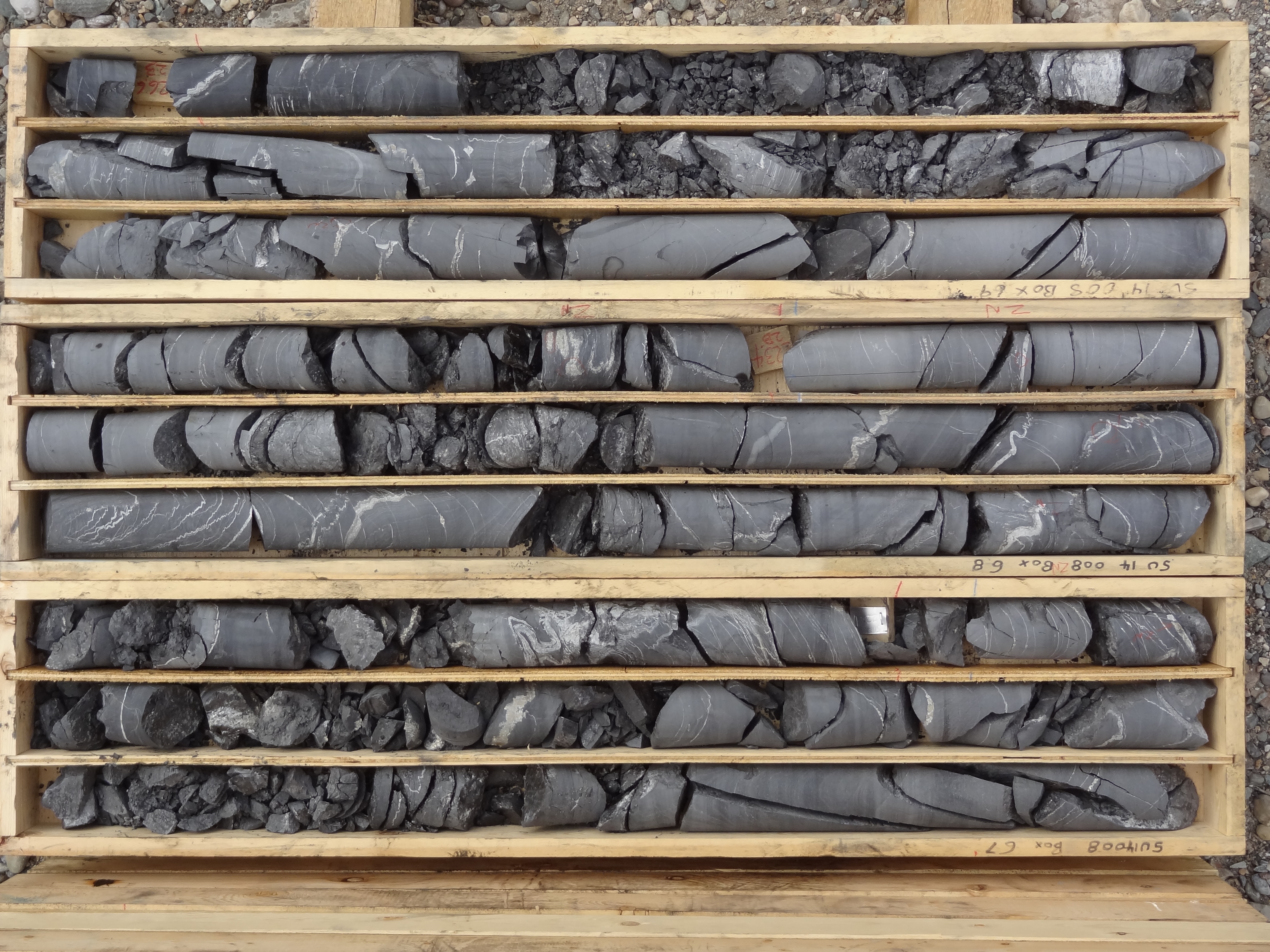
SU14_08 218.0 to 226.7
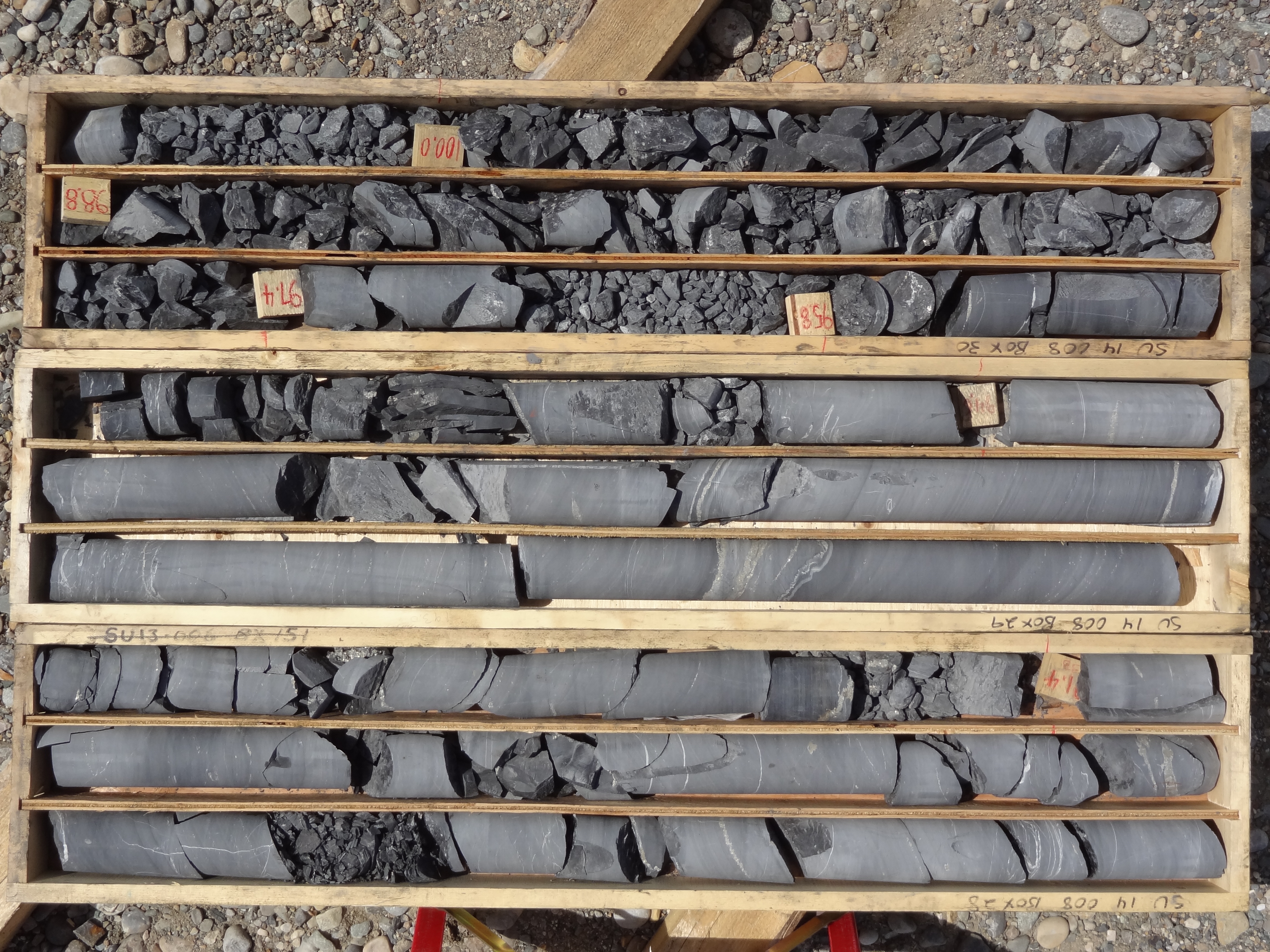
SU14_08 89.2 to 100.2
On the Edge
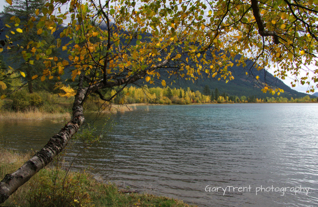
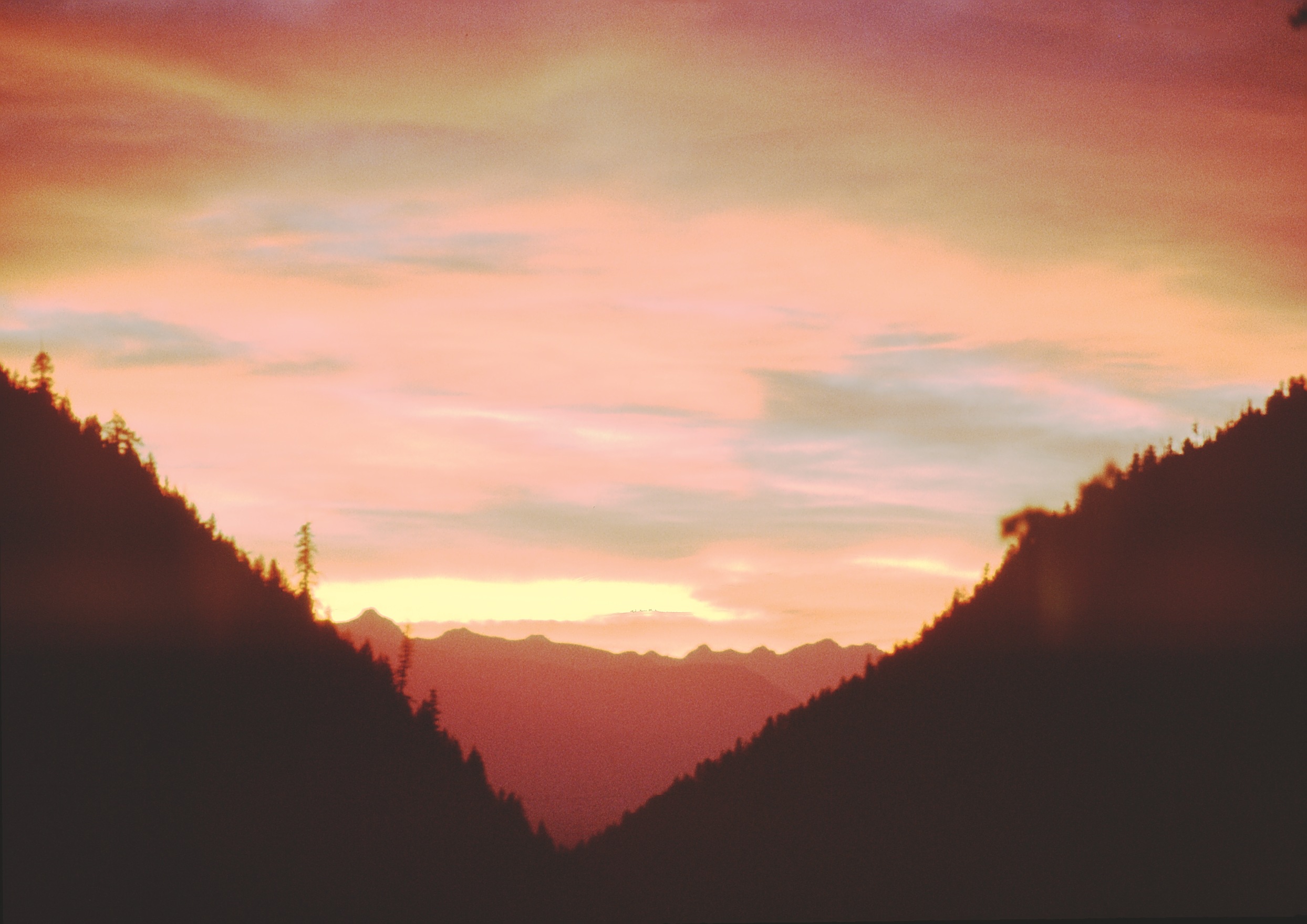
Norbury Lake
The Rockies
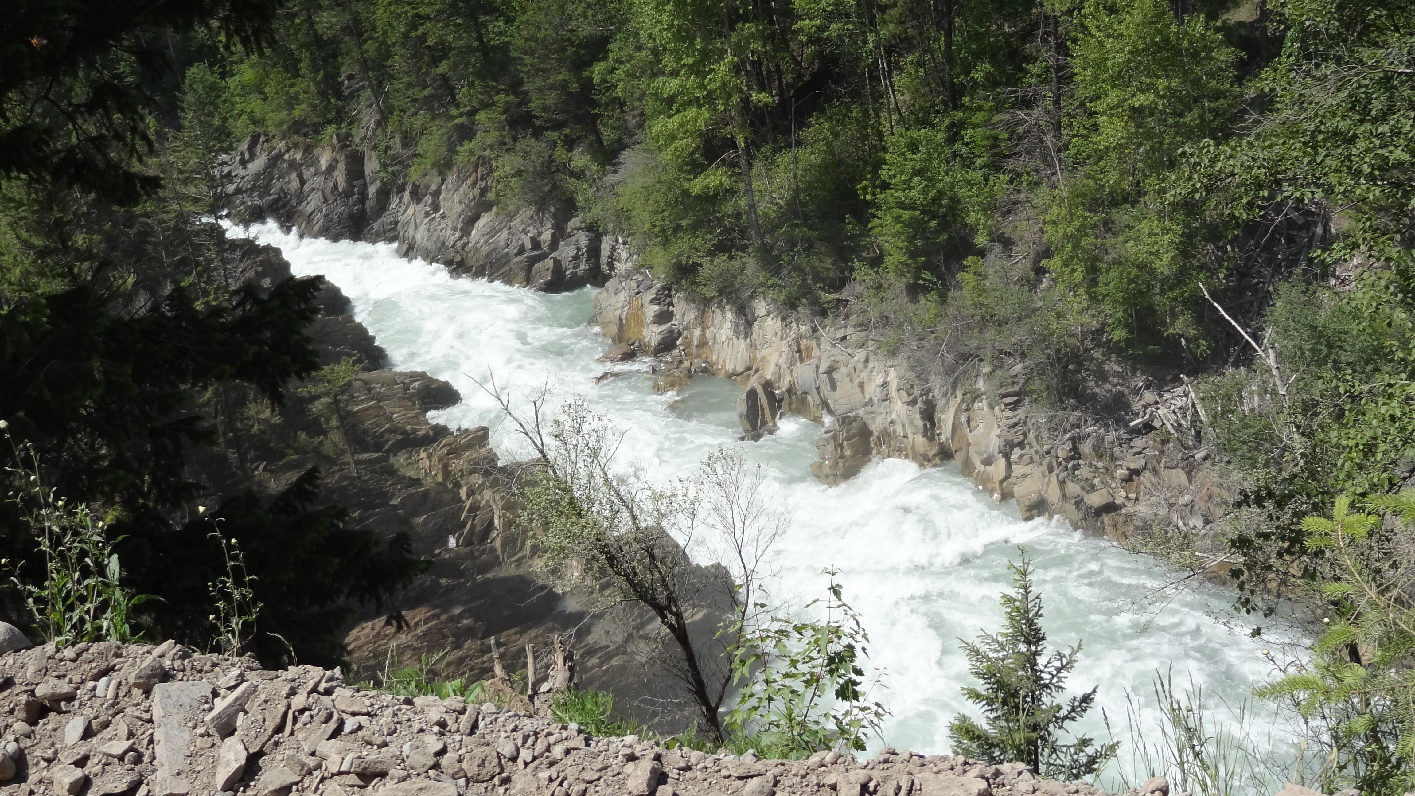
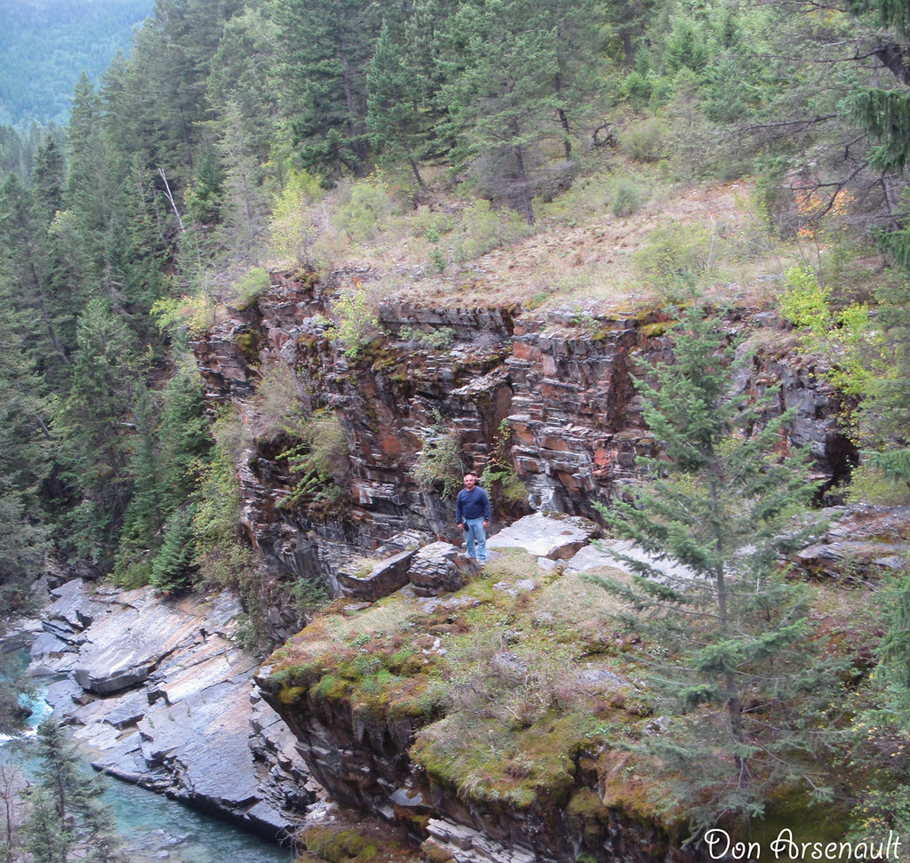
Bull River Canyon 2

Bull River Canyon 3
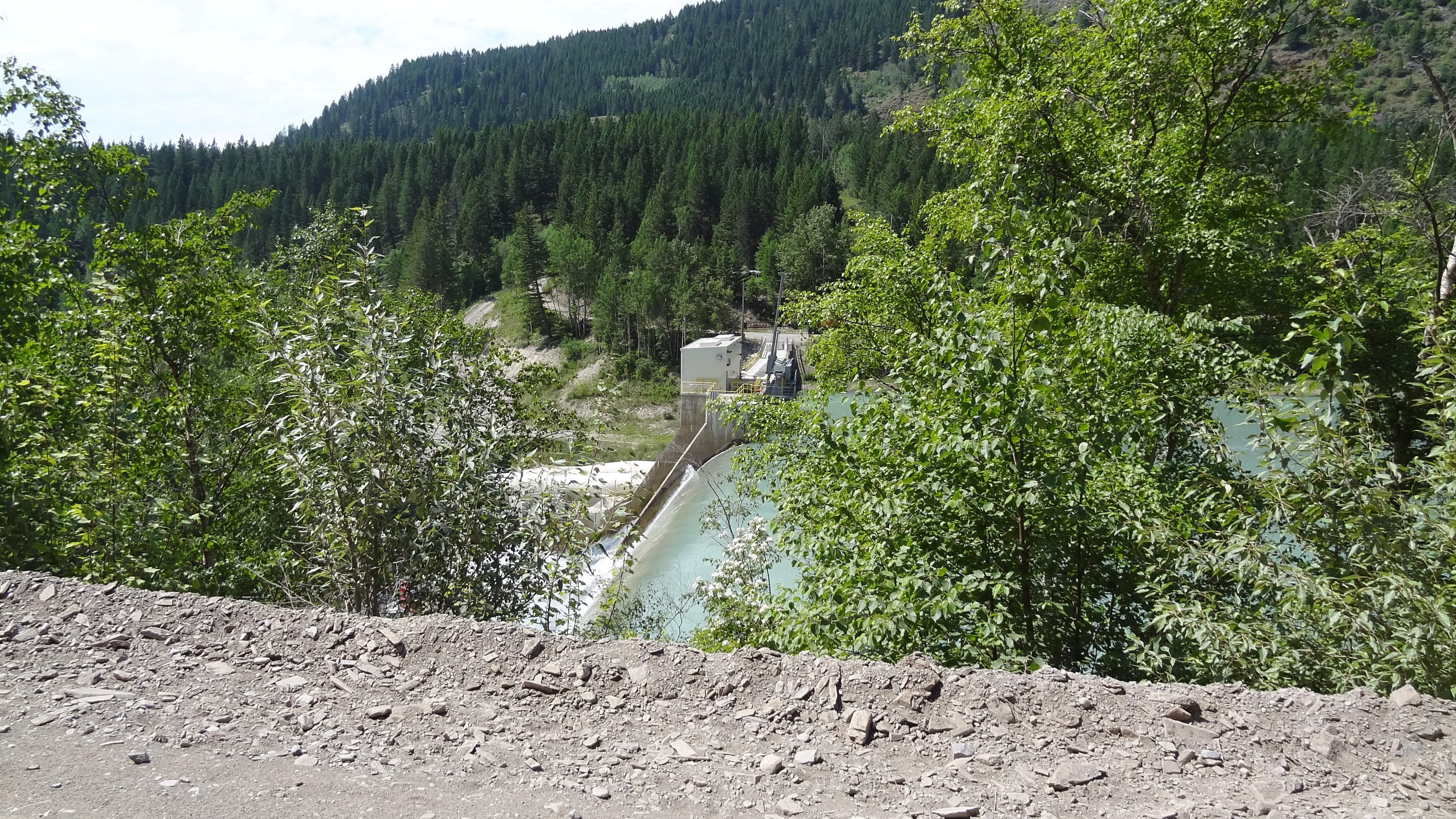
Aberfeldie Dam at Bull River
East Kootenay C, BC, Kanada Karte
Suchen Sie einen anderen Ort
Orte in East Kootenay C, BC, Kanada
Cranbrook, Britisch-Kolumbien V1C, Kanada
Three Sisters, East Kootenay C, BC V0B, Kanada
Mount Fisher, East Kootenay C, BC V0B, Kanada
Tanglefoot Peak, East Kootenay C, BC V0B, Kanada
Fort Steele, BC V0B, Kanada
Moyie, BC V0B, Kanada
Moyie Lake, East Kootenay C, BC V0B, Kanada
Nahe Plätze
Tanglefoot Peak, East Kootenay C, BC V0B, Kanada
Mount Fisher, East Kootenay C, BC V0B, Kanada
Fort Steele, BC V0B, Kanada
Fish Lake, East Kootenay E, BC V0B 2E0, Kanada
Mount Stevens, East Kootenay E, BC V0B, Kanada
Wirth S2, East Kootenay E, BC V0B, Kanada
Teepee Mountain, East Kootenay E, BC V0B, Kanada
Teepee N1, East Kootenay E, BC V0B, Kanada
Mount Wirth, East Kootenay E, BC V0B, Kanada
Teepee N3, East Kootenay E, BC V0B, Kanada
Teepee N4, East Kootenay E, BC V0B, Kanada
Wirth N2, East Kootenay E, BC V0B, Kanada
East Kootenay B, BC, Kanada
Godderis Rd, Cranbrook, BC V1C 7B8, Kanada
Travois Peak, East Kootenay E, BC V0B, Kanada
Willowbrook Dr, Cranbrook, BC V1C 6H2, Kanada
Diorite SE2, East Kootenay E, BC V0B, Kanada
Travois N1, East Kootenay E, BC V0B, Kanada
44 13 Ave S, Cranbrook, BC V1C 2V3, Kanada
Cranbrook, Britisch-Kolumbien V1C 5S9, Kanada
Letzte Suche
- Red Dog Mine, AK, USA Sonnenaufgang Sonnenuntergang Zeiten
- Am Bahnhof, Am bhf, Borken, Germany Sonnenaufgang Sonnenuntergang Zeiten
- 4th St E, Sonoma, CA, USA Sonnenaufgang Sonnenuntergang Zeiten
- Oakland Ave, Williamsport, PA, USA Sonnenaufgang Sonnenuntergang Zeiten
- Via Roma, Pieranica CR, Italien Sonnenaufgang Sonnenuntergang Zeiten
- Glockenturm, Grad, Dubrovnik, Kroatien Sonnenaufgang Sonnenuntergang Zeiten
- Trelew, Chubut Province, Argentina Sonnenaufgang Sonnenuntergang Zeiten
- Hartfords Bluff Cir, Mt Pleasant, SC, USA Sonnenaufgang Sonnenuntergang Zeiten
- Kita-ku, Kumamoto, Präfektur Kumamoto, Japan Sonnenaufgang Sonnenuntergang Zeiten
- Pingtan Island, Pingtan County, Fuzhou, China Sonnenaufgang Sonnenuntergang Zeiten