Dump Rd, Maple, WI, USA Sonnenaufgang Sonnenuntergang Zeiten
Location: USA > Wisconsin > Douglas County > Maple > >
Zeitzone:
America/Chicago
Ortszeit:
2025-07-13 10:11:27
Länge:
-91.702688
Breite:
46.565175
Sonnenaufgang Heute:
05:27:31 AM
Sonnenuntergang Heute:
08:57:51 PM
Tageslänge heute:
15h 30m 20s
Sonnenaufgang morgen:
05:28:28 AM
Sonnenuntergang Morgen:
08:57:06 PM
Tageslänge von morgen:
15h 28m 38s
Alle Termine anzeigen
| Datum | Sonnenaufgang | Sonnenuntergang | Tageslänge |
|---|---|---|---|
| 2025-01-01 | 07:50:45 AM | 04:31:10 PM | 8h 40m 25s |
| 2025-01-02 | 07:50:40 AM | 04:32:10 PM | 8h 41m 30s |
| 2025-01-03 | 07:50:33 AM | 04:33:11 PM | 8h 42m 38s |
| 2025-01-04 | 07:50:24 AM | 04:34:15 PM | 8h 43m 51s |
| 2025-01-05 | 07:50:11 AM | 04:35:20 PM | 8h 45m 9s |
| 2025-01-06 | 07:49:56 AM | 04:36:27 PM | 8h 46m 31s |
| 2025-01-07 | 07:49:38 AM | 04:37:36 PM | 8h 47m 58s |
| 2025-01-08 | 07:49:17 AM | 04:38:46 PM | 8h 49m 29s |
| 2025-01-09 | 07:48:53 AM | 04:39:58 PM | 8h 51m 5s |
| 2025-01-10 | 07:48:27 AM | 04:41:11 PM | 8h 52m 44s |
| 2025-01-11 | 07:47:58 AM | 04:42:26 PM | 8h 54m 28s |
| 2025-01-12 | 07:47:27 AM | 04:43:43 PM | 8h 56m 16s |
| 2025-01-13 | 07:46:53 AM | 04:45:00 PM | 8h 58m 7s |
| 2025-01-14 | 07:46:17 AM | 04:46:19 PM | 9h 0m 2s |
| 2025-01-15 | 07:45:38 AM | 04:47:39 PM | 9h 2m 1s |
| 2025-01-16 | 07:44:56 AM | 04:49:00 PM | 9h 4m 4s |
| 2025-01-17 | 07:44:12 AM | 04:50:22 PM | 9h 6m 10s |
| 2025-01-18 | 07:43:26 AM | 04:51:46 PM | 9h 8m 20s |
| 2025-01-19 | 07:42:37 AM | 04:53:10 PM | 9h 10m 33s |
| 2025-01-20 | 07:41:46 AM | 04:54:34 PM | 9h 12m 48s |
| 2025-01-21 | 07:40:52 AM | 04:56:00 PM | 9h 15m 8s |
| 2025-01-22 | 07:39:57 AM | 04:57:26 PM | 9h 17m 29s |
| 2025-01-23 | 07:38:59 AM | 04:58:53 PM | 9h 19m 54s |
| 2025-01-24 | 07:37:59 AM | 05:00:21 PM | 9h 22m 22s |
| 2025-01-25 | 07:36:56 AM | 05:01:49 PM | 9h 24m 53s |
| 2025-01-26 | 07:35:52 AM | 05:03:18 PM | 9h 27m 26s |
| 2025-01-27 | 07:34:45 AM | 05:04:47 PM | 9h 30m 2s |
| 2025-01-28 | 07:33:37 AM | 05:06:17 PM | 9h 32m 40s |
| 2025-01-29 | 07:32:27 AM | 05:07:46 PM | 9h 35m 19s |
| 2025-01-30 | 07:31:14 AM | 05:09:17 PM | 9h 38m 3s |
| 2025-01-31 | 07:30:00 AM | 05:10:47 PM | 9h 40m 47s |
| 2025-02-01 | 07:28:44 AM | 05:12:18 PM | 9h 43m 34s |
| 2025-02-02 | 07:27:26 AM | 05:13:48 PM | 9h 46m 22s |
| 2025-02-03 | 07:26:06 AM | 05:15:19 PM | 9h 49m 13s |
| 2025-02-04 | 07:24:45 AM | 05:16:50 PM | 9h 52m 5s |
| 2025-02-05 | 07:23:22 AM | 05:18:21 PM | 9h 54m 59s |
| 2025-02-06 | 07:21:57 AM | 05:19:53 PM | 9h 57m 56s |
| 2025-02-07 | 07:20:31 AM | 05:21:24 PM | 10h 0m 53s |
| 2025-02-08 | 07:19:03 AM | 05:22:55 PM | 10h 3m 52s |
| 2025-02-09 | 07:17:34 AM | 05:24:26 PM | 10h 6m 52s |
| 2025-02-10 | 07:16:03 AM | 05:25:57 PM | 10h 9m 54s |
| 2025-02-11 | 07:14:31 AM | 05:27:28 PM | 10h 12m 57s |
| 2025-02-12 | 07:12:57 AM | 05:28:58 PM | 10h 16m 1s |
| 2025-02-13 | 07:11:23 AM | 05:30:29 PM | 10h 19m 6s |
| 2025-02-14 | 07:09:47 AM | 05:31:59 PM | 10h 22m 12s |
| 2025-02-15 | 07:08:09 AM | 05:33:29 PM | 10h 25m 20s |
| 2025-02-16 | 07:06:31 AM | 05:34:59 PM | 10h 28m 28s |
| 2025-02-17 | 07:04:51 AM | 05:36:29 PM | 10h 31m 38s |
| 2025-02-18 | 07:03:10 AM | 05:37:59 PM | 10h 34m 49s |
| 2025-02-19 | 07:01:28 AM | 05:39:28 PM | 10h 38m 0s |
| 2025-02-20 | 06:59:45 AM | 05:40:57 PM | 10h 41m 12s |
| 2025-02-21 | 06:58:01 AM | 05:42:26 PM | 10h 44m 25s |
| 2025-02-22 | 06:56:16 AM | 05:43:54 PM | 10h 47m 38s |
| 2025-02-23 | 06:54:30 AM | 05:45:23 PM | 10h 50m 53s |
| 2025-02-24 | 06:52:43 AM | 05:46:50 PM | 10h 54m 7s |
| 2025-02-25 | 06:50:56 AM | 05:48:18 PM | 10h 57m 22s |
| 2025-02-26 | 06:49:07 AM | 05:49:46 PM | 11h 0m 39s |
| 2025-02-27 | 06:47:18 AM | 05:51:13 PM | 11h 3m 55s |
| 2025-02-28 | 06:45:28 AM | 05:52:40 PM | 11h 7m 12s |
| 2025-03-01 | 06:43:37 AM | 05:54:06 PM | 11h 10m 29s |
| 2025-03-02 | 06:41:46 AM | 05:55:33 PM | 11h 13m 47s |
| 2025-03-03 | 06:39:54 AM | 05:56:59 PM | 11h 17m 5s |
| 2025-03-04 | 06:38:01 AM | 05:58:24 PM | 11h 20m 23s |
| 2025-03-05 | 06:36:08 AM | 05:59:50 PM | 11h 23m 42s |
| 2025-03-06 | 06:34:14 AM | 06:01:15 PM | 11h 27m 1s |
| 2025-03-07 | 06:32:19 AM | 06:02:40 PM | 11h 30m 21s |
| 2025-03-08 | 06:30:25 AM | 06:04:05 PM | 11h 33m 40s |
| 2025-03-09 | 07:28:34 AM | 07:05:26 PM | 11h 36m 52s |
| 2025-03-10 | 07:26:39 AM | 07:06:50 PM | 11h 40m 11s |
| 2025-03-11 | 07:24:43 AM | 07:08:14 PM | 11h 43m 31s |
| 2025-03-12 | 07:22:46 AM | 07:09:38 PM | 11h 46m 52s |
| 2025-03-13 | 07:20:50 AM | 07:11:01 PM | 11h 50m 11s |
| 2025-03-14 | 07:18:53 AM | 07:12:25 PM | 11h 53m 32s |
| 2025-03-15 | 07:16:55 AM | 07:13:48 PM | 11h 56m 53s |
| 2025-03-16 | 07:14:58 AM | 07:15:11 PM | 12h 0m 13s |
| 2025-03-17 | 07:13:00 AM | 07:16:34 PM | 12h 3m 34s |
| 2025-03-18 | 07:11:03 AM | 07:17:56 PM | 12h 6m 53s |
| 2025-03-19 | 07:09:05 AM | 07:19:19 PM | 12h 10m 14s |
| 2025-03-20 | 07:07:07 AM | 07:20:41 PM | 12h 13m 34s |
| 2025-03-21 | 07:05:09 AM | 07:22:03 PM | 12h 16m 54s |
| 2025-03-22 | 07:03:11 AM | 07:23:26 PM | 12h 20m 15s |
| 2025-03-23 | 07:01:13 AM | 07:24:48 PM | 12h 23m 35s |
| 2025-03-24 | 06:59:15 AM | 07:26:09 PM | 12h 26m 54s |
| 2025-03-25 | 06:57:17 AM | 07:27:31 PM | 12h 30m 14s |
| 2025-03-26 | 06:55:19 AM | 07:28:53 PM | 12h 33m 34s |
| 2025-03-27 | 06:53:21 AM | 07:30:14 PM | 12h 36m 53s |
| 2025-03-28 | 06:51:23 AM | 07:31:36 PM | 12h 40m 13s |
| 2025-03-29 | 06:49:26 AM | 07:32:57 PM | 12h 43m 31s |
| 2025-03-30 | 06:47:29 AM | 07:34:19 PM | 12h 46m 50s |
| 2025-03-31 | 06:45:32 AM | 07:35:40 PM | 12h 50m 8s |
| 2025-04-01 | 06:43:35 AM | 07:37:01 PM | 12h 53m 26s |
| 2025-04-02 | 06:41:39 AM | 07:38:23 PM | 12h 56m 44s |
| 2025-04-03 | 06:39:43 AM | 07:39:44 PM | 13h 0m 1s |
| 2025-04-04 | 06:37:47 AM | 07:41:05 PM | 13h 3m 18s |
| 2025-04-05 | 06:35:52 AM | 07:42:26 PM | 13h 6m 34s |
| 2025-04-06 | 06:33:57 AM | 07:43:47 PM | 13h 9m 50s |
| 2025-04-07 | 06:32:03 AM | 07:45:08 PM | 13h 13m 5s |
| 2025-04-08 | 06:30:09 AM | 07:46:30 PM | 13h 16m 21s |
| 2025-04-09 | 06:28:16 AM | 07:47:51 PM | 13h 19m 35s |
| 2025-04-10 | 06:26:23 AM | 07:49:12 PM | 13h 22m 49s |
| 2025-04-11 | 06:24:31 AM | 07:50:33 PM | 13h 26m 2s |
| 2025-04-12 | 06:22:39 AM | 07:51:54 PM | 13h 29m 15s |
| 2025-04-13 | 06:20:49 AM | 07:53:15 PM | 13h 32m 26s |
| 2025-04-14 | 06:18:58 AM | 07:54:36 PM | 13h 35m 38s |
| 2025-04-15 | 06:17:09 AM | 07:55:57 PM | 13h 38m 48s |
| 2025-04-16 | 06:15:20 AM | 07:57:18 PM | 13h 41m 58s |
| 2025-04-17 | 06:13:33 AM | 07:58:39 PM | 13h 45m 6s |
| 2025-04-18 | 06:11:46 AM | 08:00:00 PM | 13h 48m 14s |
| 2025-04-19 | 06:10:00 AM | 08:01:21 PM | 13h 51m 21s |
| 2025-04-20 | 06:08:14 AM | 08:02:42 PM | 13h 54m 28s |
| 2025-04-21 | 06:06:30 AM | 08:04:03 PM | 13h 57m 33s |
| 2025-04-22 | 06:04:47 AM | 08:05:24 PM | 14h 0m 37s |
| 2025-04-23 | 06:03:05 AM | 08:06:44 PM | 14h 3m 39s |
| 2025-04-24 | 06:01:24 AM | 08:08:05 PM | 14h 6m 41s |
| 2025-04-25 | 05:59:43 AM | 08:09:25 PM | 14h 9m 42s |
| 2025-04-26 | 05:58:04 AM | 08:10:46 PM | 14h 12m 42s |
| 2025-04-27 | 05:56:27 AM | 08:12:06 PM | 14h 15m 39s |
| 2025-04-28 | 05:54:50 AM | 08:13:26 PM | 14h 18m 36s |
| 2025-04-29 | 05:53:15 AM | 08:14:46 PM | 14h 21m 31s |
| 2025-04-30 | 05:51:41 AM | 08:16:05 PM | 14h 24m 24s |
| 2025-05-01 | 05:50:08 AM | 08:17:25 PM | 14h 27m 17s |
| 2025-05-02 | 05:48:36 AM | 08:18:44 PM | 14h 30m 8s |
| 2025-05-03 | 05:47:06 AM | 08:20:03 PM | 14h 32m 57s |
| 2025-05-04 | 05:45:38 AM | 08:21:21 PM | 14h 35m 43s |
| 2025-05-05 | 05:44:11 AM | 08:22:39 PM | 14h 38m 28s |
| 2025-05-06 | 05:42:45 AM | 08:23:57 PM | 14h 41m 12s |
| 2025-05-07 | 05:41:21 AM | 08:25:14 PM | 14h 43m 53s |
| 2025-05-08 | 05:39:59 AM | 08:26:31 PM | 14h 46m 32s |
| 2025-05-09 | 05:38:38 AM | 08:27:48 PM | 14h 49m 10s |
| 2025-05-10 | 05:37:19 AM | 08:29:04 PM | 14h 51m 45s |
| 2025-05-11 | 05:36:01 AM | 08:30:19 PM | 14h 54m 18s |
| 2025-05-12 | 05:34:45 AM | 08:31:34 PM | 14h 56m 49s |
| 2025-05-13 | 05:33:31 AM | 08:32:48 PM | 14h 59m 17s |
| 2025-05-14 | 05:32:19 AM | 08:34:01 PM | 15h 1m 42s |
| 2025-05-15 | 05:31:09 AM | 08:35:14 PM | 15h 4m 5s |
| 2025-05-16 | 05:30:00 AM | 08:36:26 PM | 15h 6m 26s |
| 2025-05-17 | 05:28:54 AM | 08:37:37 PM | 15h 8m 43s |
| 2025-05-18 | 05:27:50 AM | 08:38:47 PM | 15h 10m 57s |
| 2025-05-19 | 05:26:47 AM | 08:39:57 PM | 15h 13m 10s |
| 2025-05-20 | 05:25:47 AM | 08:41:05 PM | 15h 15m 18s |
| 2025-05-21 | 05:24:48 AM | 08:42:13 PM | 15h 17m 25s |
| 2025-05-22 | 05:23:52 AM | 08:43:19 PM | 15h 19m 27s |
| 2025-05-23 | 05:22:58 AM | 08:44:24 PM | 15h 21m 26s |
| 2025-05-24 | 05:22:06 AM | 08:45:28 PM | 15h 23m 22s |
| 2025-05-25 | 05:21:16 AM | 08:46:31 PM | 15h 25m 15s |
| 2025-05-26 | 05:20:28 AM | 08:47:32 PM | 15h 27m 4s |
| 2025-05-27 | 05:19:43 AM | 08:48:33 PM | 15h 28m 50s |
| 2025-05-28 | 05:19:00 AM | 08:49:31 PM | 15h 30m 31s |
| 2025-05-29 | 05:18:19 AM | 08:50:29 PM | 15h 32m 10s |
| 2025-05-30 | 05:17:41 AM | 08:51:25 PM | 15h 33m 44s |
| 2025-05-31 | 05:17:05 AM | 08:52:19 PM | 15h 35m 14s |
| 2025-06-01 | 05:16:31 AM | 08:53:12 PM | 15h 36m 41s |
| 2025-06-02 | 05:16:00 AM | 08:54:03 PM | 15h 38m 3s |
| 2025-06-03 | 05:15:31 AM | 08:54:52 PM | 15h 39m 21s |
| 2025-06-04 | 05:15:05 AM | 08:55:40 PM | 15h 40m 35s |
| 2025-06-05 | 05:14:41 AM | 08:56:26 PM | 15h 41m 45s |
| 2025-06-06 | 05:14:19 AM | 08:57:09 PM | 15h 42m 50s |
| 2025-06-07 | 05:14:00 AM | 08:57:51 PM | 15h 43m 51s |
| 2025-06-08 | 05:13:44 AM | 08:58:32 PM | 15h 44m 48s |
| 2025-06-09 | 05:13:30 AM | 08:59:10 PM | 15h 45m 40s |
| 2025-06-10 | 05:13:18 AM | 08:59:46 PM | 15h 46m 28s |
| 2025-06-11 | 05:13:09 AM | 09:00:20 PM | 15h 47m 11s |
| 2025-06-12 | 05:13:02 AM | 09:00:51 PM | 15h 47m 49s |
| 2025-06-13 | 05:12:58 AM | 09:01:21 PM | 15h 48m 23s |
| 2025-06-14 | 05:12:56 AM | 09:01:48 PM | 15h 48m 52s |
| 2025-06-15 | 05:12:57 AM | 09:02:13 PM | 15h 49m 16s |
| 2025-06-16 | 05:13:00 AM | 09:02:36 PM | 15h 49m 36s |
| 2025-06-17 | 05:13:06 AM | 09:02:57 PM | 15h 49m 51s |
| 2025-06-18 | 05:13:14 AM | 09:03:15 PM | 15h 50m 1s |
| 2025-06-19 | 05:13:24 AM | 09:03:31 PM | 15h 50m 7s |
| 2025-06-20 | 05:13:37 AM | 09:03:44 PM | 15h 50m 7s |
| 2025-06-21 | 05:13:52 AM | 09:03:55 PM | 15h 50m 3s |
| 2025-06-22 | 05:14:09 AM | 09:04:04 PM | 15h 49m 55s |
| 2025-06-23 | 05:14:29 AM | 09:04:10 PM | 15h 49m 41s |
| 2025-06-24 | 05:14:51 AM | 09:04:13 PM | 15h 49m 22s |
| 2025-06-25 | 05:15:15 AM | 09:04:14 PM | 15h 48m 59s |
| 2025-06-26 | 05:15:41 AM | 09:04:13 PM | 15h 48m 32s |
| 2025-06-27 | 05:16:10 AM | 09:04:09 PM | 15h 47m 59s |
| 2025-06-28 | 05:16:40 AM | 09:04:03 PM | 15h 47m 23s |
| 2025-06-29 | 05:17:13 AM | 09:03:54 PM | 15h 46m 41s |
| 2025-06-30 | 05:17:48 AM | 09:03:42 PM | 15h 45m 54s |
| 2025-07-01 | 05:18:25 AM | 09:03:28 PM | 15h 45m 3s |
| 2025-07-02 | 05:19:03 AM | 09:03:12 PM | 15h 44m 9s |
| 2025-07-03 | 05:19:44 AM | 09:02:52 PM | 15h 43m 8s |
| 2025-07-04 | 05:20:26 AM | 09:02:31 PM | 15h 42m 5s |
| 2025-07-05 | 05:21:10 AM | 09:02:07 PM | 15h 40m 57s |
| 2025-07-06 | 05:21:56 AM | 09:01:40 PM | 15h 39m 44s |
| 2025-07-07 | 05:22:44 AM | 09:01:11 PM | 15h 38m 27s |
| 2025-07-08 | 05:23:33 AM | 09:00:40 PM | 15h 37m 7s |
| 2025-07-09 | 05:24:24 AM | 09:00:06 PM | 15h 35m 42s |
| 2025-07-10 | 05:25:16 AM | 08:59:30 PM | 15h 34m 14s |
| 2025-07-11 | 05:26:10 AM | 08:58:51 PM | 15h 32m 41s |
| 2025-07-12 | 05:27:05 AM | 08:58:10 PM | 15h 31m 5s |
| 2025-07-13 | 05:28:02 AM | 08:57:27 PM | 15h 29m 25s |
| 2025-07-14 | 05:29:00 AM | 08:56:41 PM | 15h 27m 41s |
| 2025-07-15 | 05:29:59 AM | 08:55:53 PM | 15h 25m 54s |
| 2025-07-16 | 05:30:59 AM | 08:55:03 PM | 15h 24m 4s |
| 2025-07-17 | 05:32:01 AM | 08:54:10 PM | 15h 22m 9s |
| 2025-07-18 | 05:33:04 AM | 08:53:16 PM | 15h 20m 12s |
| 2025-07-19 | 05:34:07 AM | 08:52:19 PM | 15h 18m 12s |
| 2025-07-20 | 05:35:12 AM | 08:51:20 PM | 15h 16m 8s |
| 2025-07-21 | 05:36:18 AM | 08:50:19 PM | 15h 14m 1s |
| 2025-07-22 | 05:37:24 AM | 08:49:16 PM | 15h 11m 52s |
| 2025-07-23 | 05:38:32 AM | 08:48:11 PM | 15h 9m 39s |
| 2025-07-24 | 05:39:40 AM | 08:47:04 PM | 15h 7m 24s |
| 2025-07-25 | 05:40:49 AM | 08:45:55 PM | 15h 5m 6s |
| 2025-07-26 | 05:41:58 AM | 08:44:44 PM | 15h 2m 46s |
| 2025-07-27 | 05:43:09 AM | 08:43:31 PM | 15h 0m 22s |
| 2025-07-28 | 05:44:20 AM | 08:42:16 PM | 14h 57m 56s |
| 2025-07-29 | 05:45:31 AM | 08:41:00 PM | 14h 55m 29s |
| 2025-07-30 | 05:46:43 AM | 08:39:42 PM | 14h 52m 59s |
| 2025-07-31 | 05:47:56 AM | 08:38:22 PM | 14h 50m 26s |
| 2025-08-01 | 05:49:09 AM | 08:37:00 PM | 14h 47m 51s |
| 2025-08-02 | 05:50:23 AM | 08:35:37 PM | 14h 45m 14s |
| 2025-08-03 | 05:51:37 AM | 08:34:12 PM | 14h 42m 35s |
| 2025-08-04 | 05:52:51 AM | 08:32:46 PM | 14h 39m 55s |
| 2025-08-05 | 05:54:05 AM | 08:31:18 PM | 14h 37m 13s |
| 2025-08-06 | 05:55:20 AM | 08:29:48 PM | 14h 34m 28s |
| 2025-08-07 | 05:56:35 AM | 08:28:18 PM | 14h 31m 43s |
| 2025-08-08 | 05:57:51 AM | 08:26:45 PM | 14h 28m 54s |
| 2025-08-09 | 05:59:06 AM | 08:25:12 PM | 14h 26m 6s |
| 2025-08-10 | 06:00:22 AM | 08:23:37 PM | 14h 23m 15s |
| 2025-08-11 | 06:01:38 AM | 08:22:00 PM | 14h 20m 22s |
| 2025-08-12 | 06:02:54 AM | 08:20:23 PM | 14h 17m 29s |
| 2025-08-13 | 06:04:11 AM | 08:18:44 PM | 14h 14m 33s |
| 2025-08-14 | 06:05:27 AM | 08:17:04 PM | 14h 11m 37s |
| 2025-08-15 | 06:06:43 AM | 08:15:23 PM | 14h 8m 40s |
| 2025-08-16 | 06:08:00 AM | 08:13:41 PM | 14h 5m 41s |
| 2025-08-17 | 06:09:16 AM | 08:11:58 PM | 14h 2m 42s |
| 2025-08-18 | 06:10:33 AM | 08:10:13 PM | 13h 59m 40s |
| 2025-08-19 | 06:11:50 AM | 08:08:28 PM | 13h 56m 38s |
| 2025-08-20 | 06:13:06 AM | 08:06:42 PM | 13h 53m 36s |
| 2025-08-21 | 06:14:23 AM | 08:04:55 PM | 13h 50m 32s |
| 2025-08-22 | 06:15:40 AM | 08:03:07 PM | 13h 47m 27s |
| 2025-08-23 | 06:16:56 AM | 08:01:18 PM | 13h 44m 22s |
| 2025-08-24 | 06:18:13 AM | 07:59:28 PM | 13h 41m 15s |
| 2025-08-25 | 06:19:30 AM | 07:57:37 PM | 13h 38m 7s |
| 2025-08-26 | 06:20:46 AM | 07:55:46 PM | 13h 35m 0s |
| 2025-08-27 | 06:22:03 AM | 07:53:54 PM | 13h 31m 51s |
| 2025-08-28 | 06:23:20 AM | 07:52:01 PM | 13h 28m 41s |
| 2025-08-29 | 06:24:36 AM | 07:50:08 PM | 13h 25m 32s |
| 2025-08-30 | 06:25:53 AM | 07:48:14 PM | 13h 22m 21s |
| 2025-08-31 | 06:27:09 AM | 07:46:19 PM | 13h 19m 10s |
| 2025-09-01 | 06:28:26 AM | 07:44:24 PM | 13h 15m 58s |
| 2025-09-02 | 06:29:42 AM | 07:42:29 PM | 13h 12m 47s |
| 2025-09-03 | 06:30:59 AM | 07:40:33 PM | 13h 9m 34s |
| 2025-09-04 | 06:32:15 AM | 07:38:36 PM | 13h 6m 21s |
| 2025-09-05 | 06:33:32 AM | 07:36:39 PM | 13h 3m 7s |
| 2025-09-06 | 06:34:48 AM | 07:34:41 PM | 12h 59m 53s |
| 2025-09-07 | 06:36:05 AM | 07:32:44 PM | 12h 56m 39s |
| 2025-09-08 | 06:37:21 AM | 07:30:45 PM | 12h 53m 24s |
| 2025-09-09 | 06:38:38 AM | 07:28:47 PM | 12h 50m 9s |
| 2025-09-10 | 06:39:54 AM | 07:26:48 PM | 12h 46m 54s |
| 2025-09-11 | 06:41:11 AM | 07:24:49 PM | 12h 43m 38s |
| 2025-09-12 | 06:42:28 AM | 07:22:50 PM | 12h 40m 22s |
| 2025-09-13 | 06:43:44 AM | 07:20:51 PM | 12h 37m 7s |
| 2025-09-14 | 06:45:01 AM | 07:18:51 PM | 12h 33m 50s |
| 2025-09-15 | 06:46:18 AM | 07:16:51 PM | 12h 30m 33s |
| 2025-09-16 | 06:47:35 AM | 07:14:52 PM | 12h 27m 17s |
| 2025-09-17 | 06:48:52 AM | 07:12:52 PM | 12h 24m 0s |
| 2025-09-18 | 06:50:09 AM | 07:10:52 PM | 12h 20m 43s |
| 2025-09-19 | 06:51:26 AM | 07:08:52 PM | 12h 17m 26s |
| 2025-09-20 | 06:52:43 AM | 07:06:52 PM | 12h 14m 9s |
| 2025-09-21 | 06:54:01 AM | 07:04:52 PM | 12h 10m 51s |
| 2025-09-22 | 06:55:18 AM | 07:02:53 PM | 12h 7m 35s |
| 2025-09-23 | 06:56:36 AM | 07:00:53 PM | 12h 4m 17s |
| 2025-09-24 | 06:57:54 AM | 06:58:54 PM | 12h 1m 0s |
| 2025-09-25 | 06:59:12 AM | 06:56:54 PM | 11h 57m 42s |
| 2025-09-26 | 07:00:30 AM | 06:54:55 PM | 11h 54m 25s |
| 2025-09-27 | 07:01:48 AM | 06:52:56 PM | 11h 51m 8s |
| 2025-09-28 | 07:03:07 AM | 06:50:58 PM | 11h 47m 51s |
| 2025-09-29 | 07:04:26 AM | 06:48:59 PM | 11h 44m 33s |
| 2025-09-30 | 07:05:45 AM | 06:47:02 PM | 11h 41m 17s |
| 2025-10-01 | 07:07:04 AM | 06:45:04 PM | 11h 38m 0s |
| 2025-10-02 | 07:08:24 AM | 06:43:07 PM | 11h 34m 43s |
| 2025-10-03 | 07:09:44 AM | 06:41:10 PM | 11h 31m 26s |
| 2025-10-04 | 07:11:04 AM | 06:39:14 PM | 11h 28m 10s |
| 2025-10-05 | 07:12:24 AM | 06:37:18 PM | 11h 24m 54s |
| 2025-10-06 | 07:13:45 AM | 06:35:23 PM | 11h 21m 38s |
| 2025-10-07 | 07:15:06 AM | 06:33:28 PM | 11h 18m 22s |
| 2025-10-08 | 07:16:27 AM | 06:31:34 PM | 11h 15m 7s |
| 2025-10-09 | 07:17:48 AM | 06:29:40 PM | 11h 11m 52s |
| 2025-10-10 | 07:19:10 AM | 06:27:47 PM | 11h 8m 37s |
| 2025-10-11 | 07:20:32 AM | 06:25:55 PM | 11h 5m 23s |
| 2025-10-12 | 07:21:55 AM | 06:24:04 PM | 11h 2m 9s |
| 2025-10-13 | 07:23:17 AM | 06:22:13 PM | 10h 58m 56s |
| 2025-10-14 | 07:24:40 AM | 06:20:23 PM | 10h 55m 43s |
| 2025-10-15 | 07:26:03 AM | 06:18:34 PM | 10h 52m 31s |
| 2025-10-16 | 07:27:27 AM | 06:16:46 PM | 10h 49m 19s |
| 2025-10-17 | 07:28:51 AM | 06:14:59 PM | 10h 46m 8s |
| 2025-10-18 | 07:30:15 AM | 06:13:12 PM | 10h 42m 57s |
| 2025-10-19 | 07:31:40 AM | 06:11:27 PM | 10h 39m 47s |
| 2025-10-20 | 07:33:04 AM | 06:09:42 PM | 10h 36m 38s |
| 2025-10-21 | 07:34:29 AM | 06:07:59 PM | 10h 33m 30s |
| 2025-10-22 | 07:35:55 AM | 06:06:17 PM | 10h 30m 22s |
| 2025-10-23 | 07:37:20 AM | 06:04:36 PM | 10h 27m 16s |
| 2025-10-24 | 07:38:46 AM | 06:02:56 PM | 10h 24m 10s |
| 2025-10-25 | 07:40:12 AM | 06:01:17 PM | 10h 21m 5s |
| 2025-10-26 | 07:41:38 AM | 05:59:40 PM | 10h 18m 2s |
| 2025-10-27 | 07:43:05 AM | 05:58:04 PM | 10h 14m 59s |
| 2025-10-28 | 07:44:32 AM | 05:56:29 PM | 10h 11m 57s |
| 2025-10-29 | 07:45:59 AM | 05:54:55 PM | 10h 8m 56s |
| 2025-10-30 | 07:47:26 AM | 05:53:23 PM | 10h 5m 57s |
| 2025-10-31 | 07:48:53 AM | 05:51:53 PM | 10h 3m 0s |
| 2025-11-01 | 07:50:20 AM | 05:50:24 PM | 10h 0m 4s |
| 2025-11-02 | 06:51:51 AM | 04:48:52 PM | 9h 57m 1s |
| 2025-11-03 | 06:53:18 AM | 04:47:26 PM | 9h 54m 8s |
| 2025-11-04 | 06:54:46 AM | 04:46:02 PM | 9h 51m 16s |
| 2025-11-05 | 06:56:13 AM | 04:44:40 PM | 9h 48m 27s |
| 2025-11-06 | 06:57:41 AM | 04:43:19 PM | 9h 45m 38s |
| 2025-11-07 | 06:59:08 AM | 04:42:00 PM | 9h 42m 52s |
| 2025-11-08 | 07:00:35 AM | 04:40:42 PM | 9h 40m 7s |
| 2025-11-09 | 07:02:02 AM | 04:39:27 PM | 9h 37m 25s |
| 2025-11-10 | 07:03:29 AM | 04:38:13 PM | 9h 34m 44s |
| 2025-11-11 | 07:04:55 AM | 04:37:01 PM | 9h 32m 6s |
| 2025-11-12 | 07:06:22 AM | 04:35:52 PM | 9h 29m 30s |
| 2025-11-13 | 07:07:48 AM | 04:34:44 PM | 9h 26m 56s |
| 2025-11-14 | 07:09:13 AM | 04:33:39 PM | 9h 24m 26s |
| 2025-11-15 | 07:10:38 AM | 04:32:35 PM | 9h 21m 57s |
| 2025-11-16 | 07:12:03 AM | 04:31:34 PM | 9h 19m 31s |
| 2025-11-17 | 07:13:27 AM | 04:30:35 PM | 9h 17m 8s |
| 2025-11-18 | 07:14:51 AM | 04:29:38 PM | 9h 14m 47s |
| 2025-11-19 | 07:16:14 AM | 04:28:43 PM | 9h 12m 29s |
| 2025-11-20 | 07:17:36 AM | 04:27:51 PM | 9h 10m 15s |
| 2025-11-21 | 07:18:57 AM | 04:27:01 PM | 9h 8m 4s |
| 2025-11-22 | 07:20:18 AM | 04:26:14 PM | 9h 5m 56s |
| 2025-11-23 | 07:21:38 AM | 04:25:28 PM | 9h 3m 50s |
| 2025-11-24 | 07:22:57 AM | 04:24:46 PM | 9h 1m 49s |
| 2025-11-25 | 07:24:14 AM | 04:24:06 PM | 8h 59m 52s |
| 2025-11-26 | 07:25:31 AM | 04:23:28 PM | 8h 57m 57s |
| 2025-11-27 | 07:26:47 AM | 04:22:53 PM | 8h 56m 6s |
| 2025-11-28 | 07:28:01 AM | 04:22:21 PM | 8h 54m 20s |
| 2025-11-29 | 07:29:14 AM | 04:21:51 PM | 8h 52m 37s |
| 2025-11-30 | 07:30:26 AM | 04:21:24 PM | 8h 50m 58s |
| 2025-12-01 | 07:31:36 AM | 04:21:00 PM | 8h 49m 24s |
| 2025-12-02 | 07:32:45 AM | 04:20:38 PM | 8h 47m 53s |
| 2025-12-03 | 07:33:52 AM | 04:20:19 PM | 8h 46m 27s |
| 2025-12-04 | 07:34:58 AM | 04:20:03 PM | 8h 45m 5s |
| 2025-12-05 | 07:36:02 AM | 04:19:49 PM | 8h 43m 47s |
| 2025-12-06 | 07:37:04 AM | 04:19:39 PM | 8h 42m 35s |
| 2025-12-07 | 07:38:04 AM | 04:19:31 PM | 8h 41m 27s |
| 2025-12-08 | 07:39:03 AM | 04:19:26 PM | 8h 40m 23s |
| 2025-12-09 | 07:39:59 AM | 04:19:24 PM | 8h 39m 25s |
| 2025-12-10 | 07:40:54 AM | 04:19:24 PM | 8h 38m 30s |
| 2025-12-11 | 07:41:46 AM | 04:19:28 PM | 8h 37m 42s |
| 2025-12-12 | 07:42:36 AM | 04:19:34 PM | 8h 36m 58s |
| 2025-12-13 | 07:43:25 AM | 04:19:43 PM | 8h 36m 18s |
| 2025-12-14 | 07:44:10 AM | 04:19:55 PM | 8h 35m 45s |
| 2025-12-15 | 07:44:54 AM | 04:20:09 PM | 8h 35m 15s |
| 2025-12-16 | 07:45:35 AM | 04:20:27 PM | 8h 34m 52s |
| 2025-12-17 | 07:46:14 AM | 04:20:47 PM | 8h 34m 33s |
| 2025-12-18 | 07:46:51 AM | 04:21:10 PM | 8h 34m 19s |
| 2025-12-19 | 07:47:24 AM | 04:21:35 PM | 8h 34m 11s |
| 2025-12-20 | 07:47:56 AM | 04:22:03 PM | 8h 34m 7s |
| 2025-12-21 | 07:48:25 AM | 04:22:34 PM | 8h 34m 9s |
| 2025-12-22 | 07:48:51 AM | 04:23:08 PM | 8h 34m 17s |
| 2025-12-23 | 07:49:15 AM | 04:23:44 PM | 8h 34m 29s |
| 2025-12-24 | 07:49:35 AM | 04:24:22 PM | 8h 34m 47s |
| 2025-12-25 | 07:49:54 AM | 04:25:03 PM | 8h 35m 9s |
| 2025-12-26 | 07:50:09 AM | 04:25:47 PM | 8h 35m 38s |
| 2025-12-27 | 07:50:22 AM | 04:26:33 PM | 8h 36m 11s |
| 2025-12-28 | 07:50:32 AM | 04:27:21 PM | 8h 36m 49s |
| 2025-12-29 | 07:50:40 AM | 04:28:11 PM | 8h 37m 31s |
| 2025-12-30 | 07:50:44 AM | 04:29:04 PM | 8h 38m 20s |
| 2025-12-31 | 07:50:46 AM | 04:29:59 PM | 8h 39m 13s |
Fotos
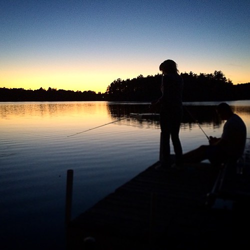
Fishing at dusk #lakeminnesuing #wisconsin #tyraandewedding #fishing #sunset

Planet D Ride The Lake Superior Circle Tour
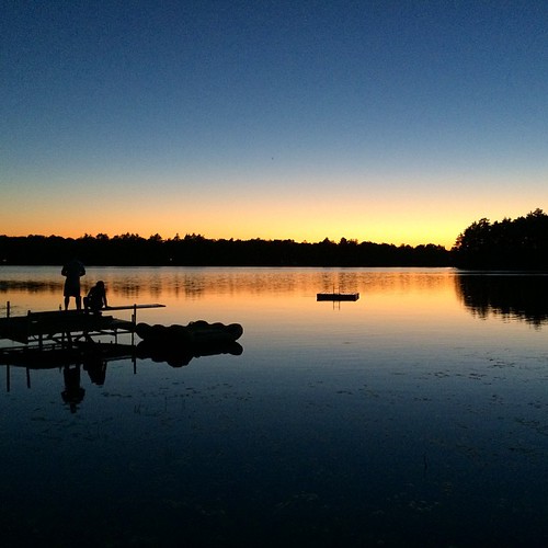
I hope there will be more sunsets by this lake in my future. #wisconsin #lakeminnesuing #tyraandewedding #sunset #dreamy
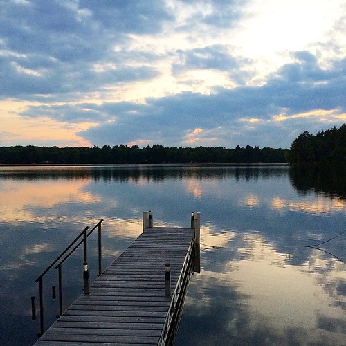
Sunset over still lake #lakeminnesuing #wisconsin #sunset
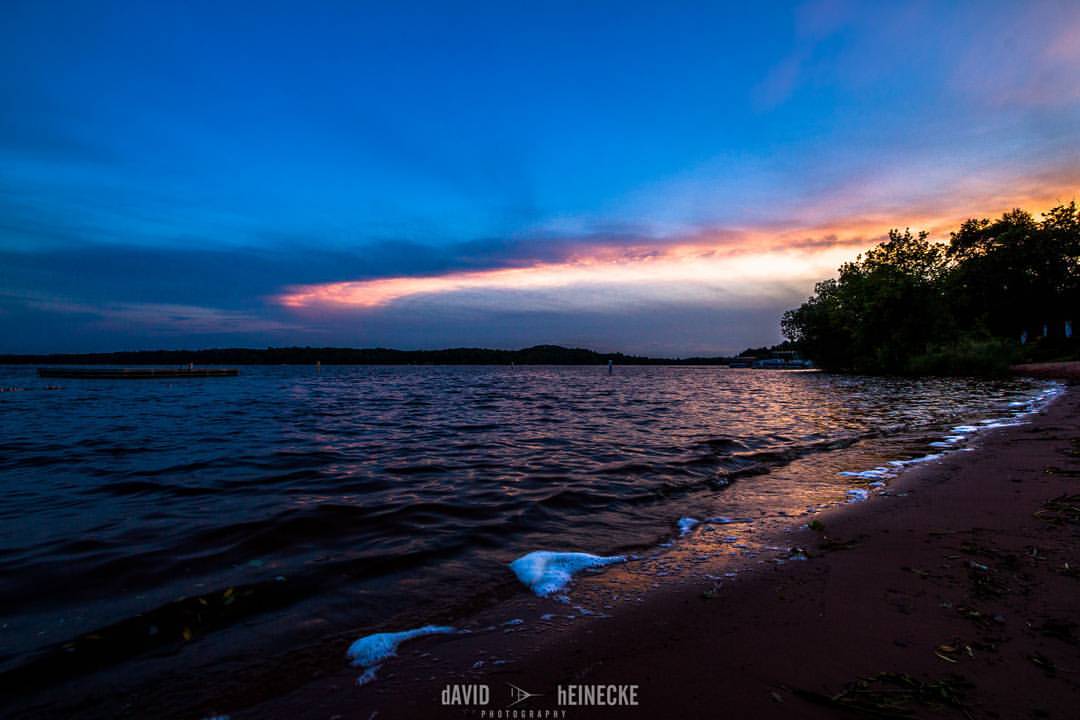
Sunset Over Lake Nebagamon in Wisconsin #discoverwisconsin #wanderlust #sunset #lakenebagemon #nature #latergram #ipostalot #nointernet
Splits
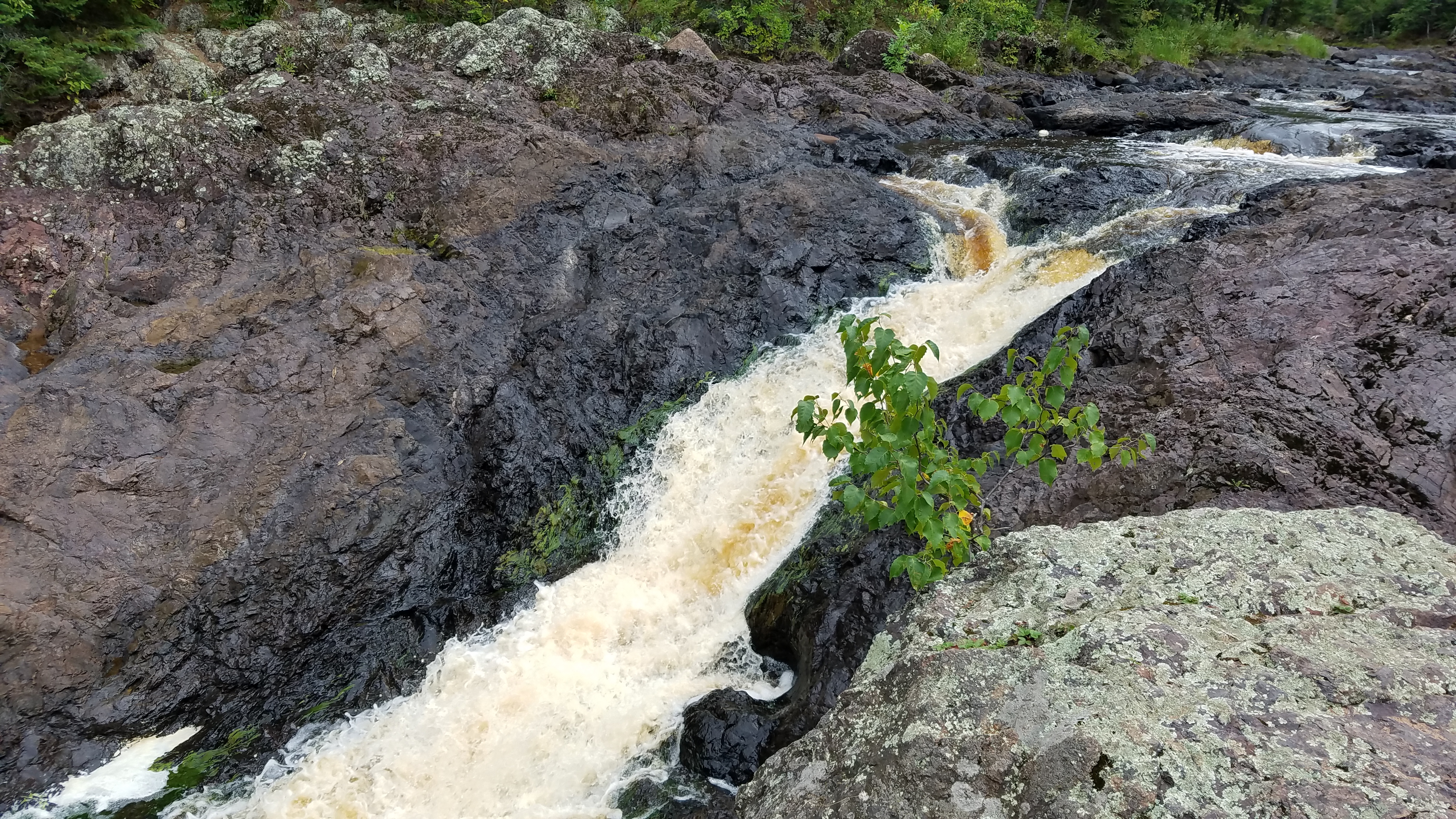
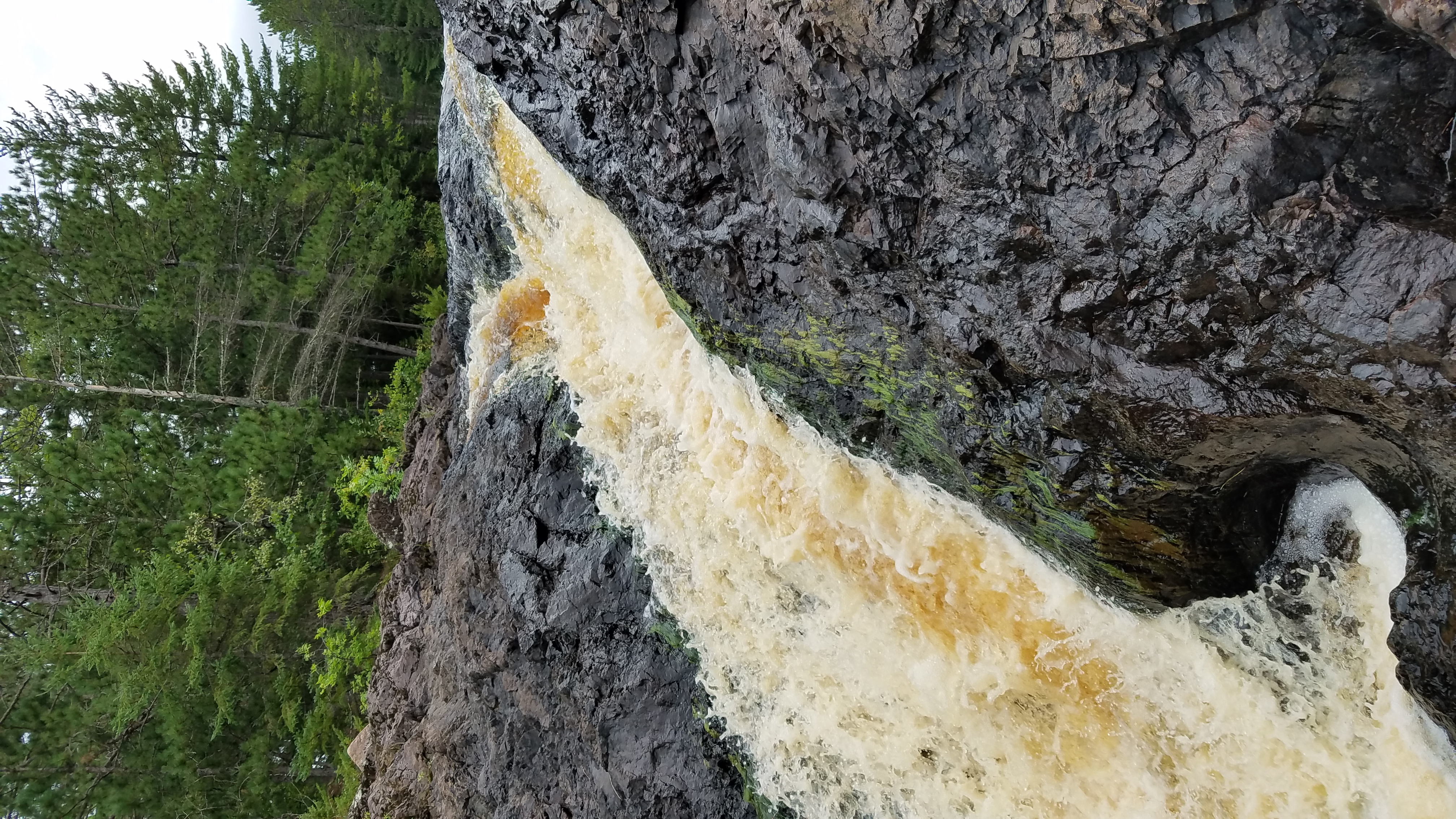
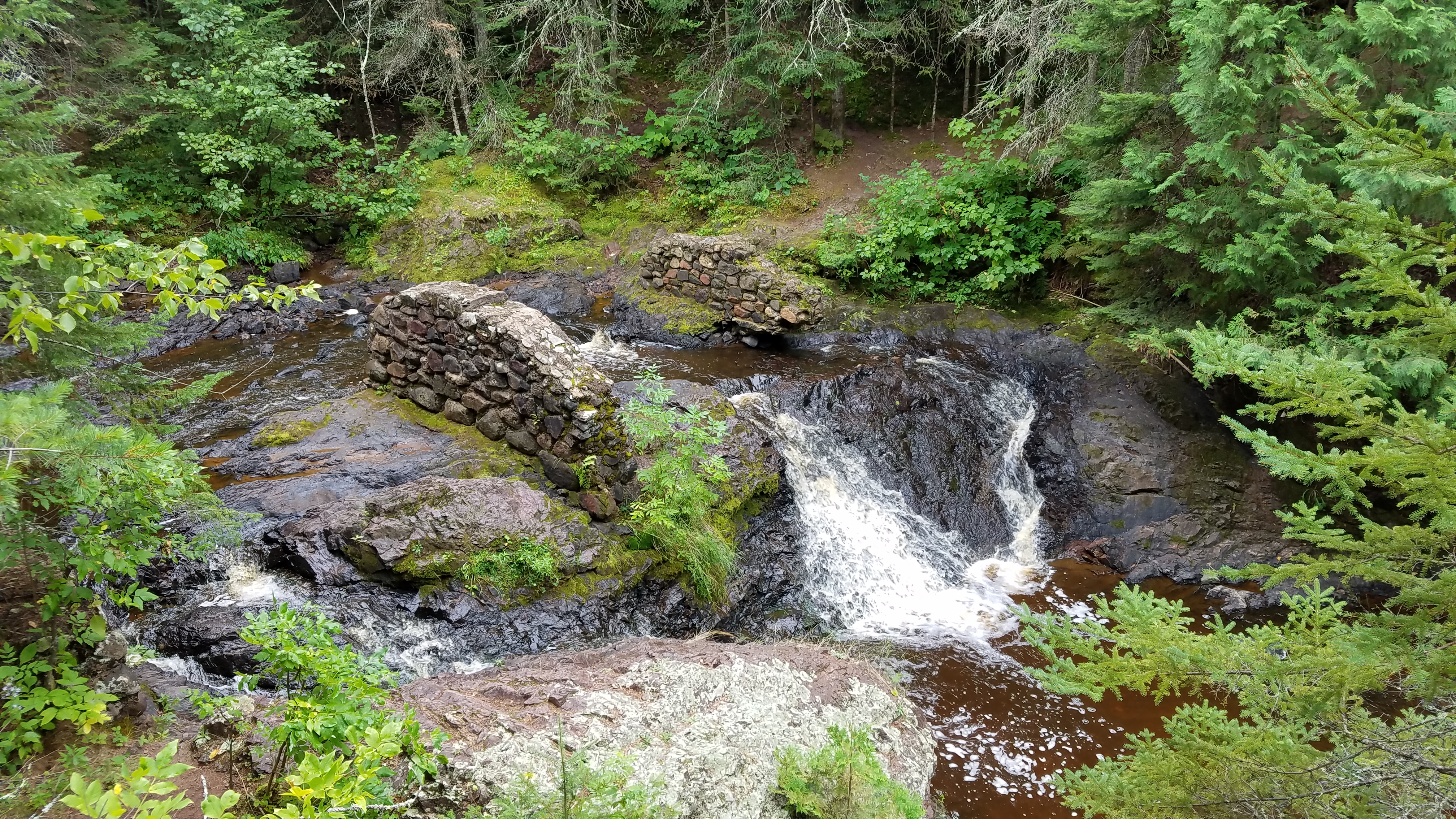
Lower Amnicon Falls
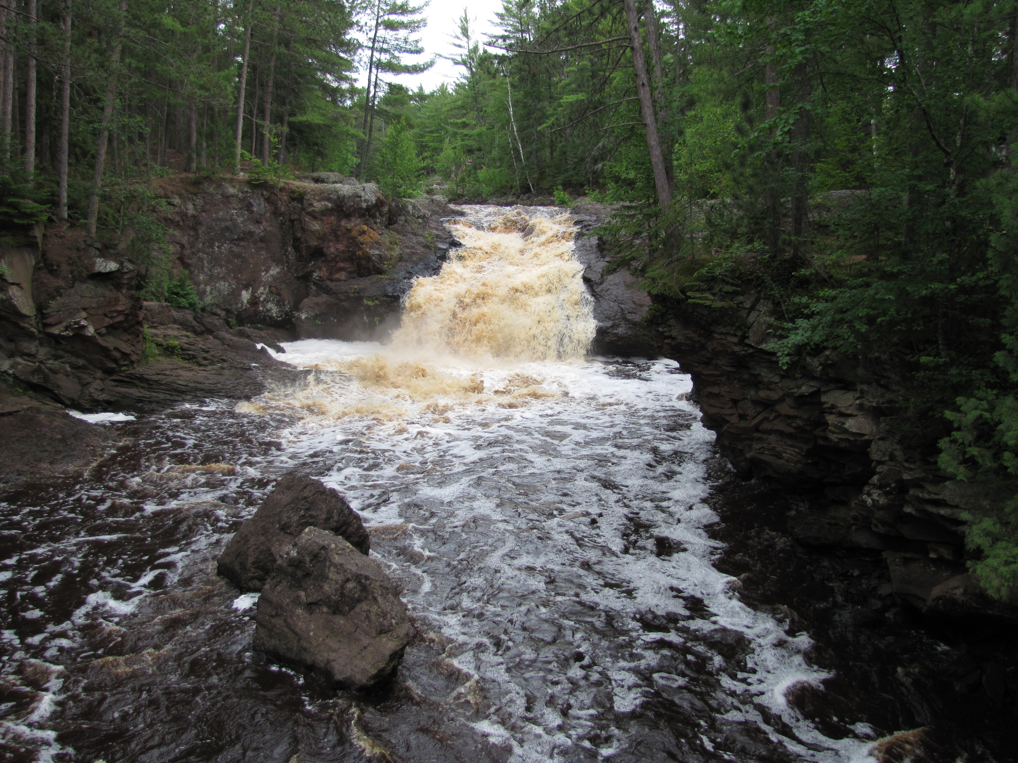
Upper Amnicon Falls, Wisconsin
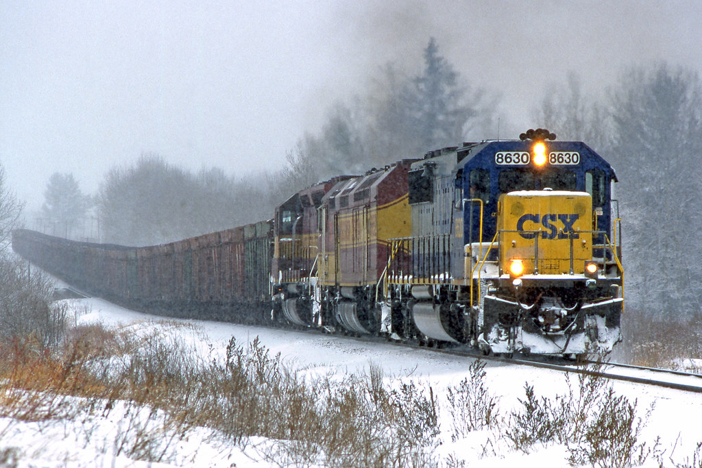
CSX 8630

Spic and Span

Clear & Cold - Rockmont WI

CSX 8046 Rockmont
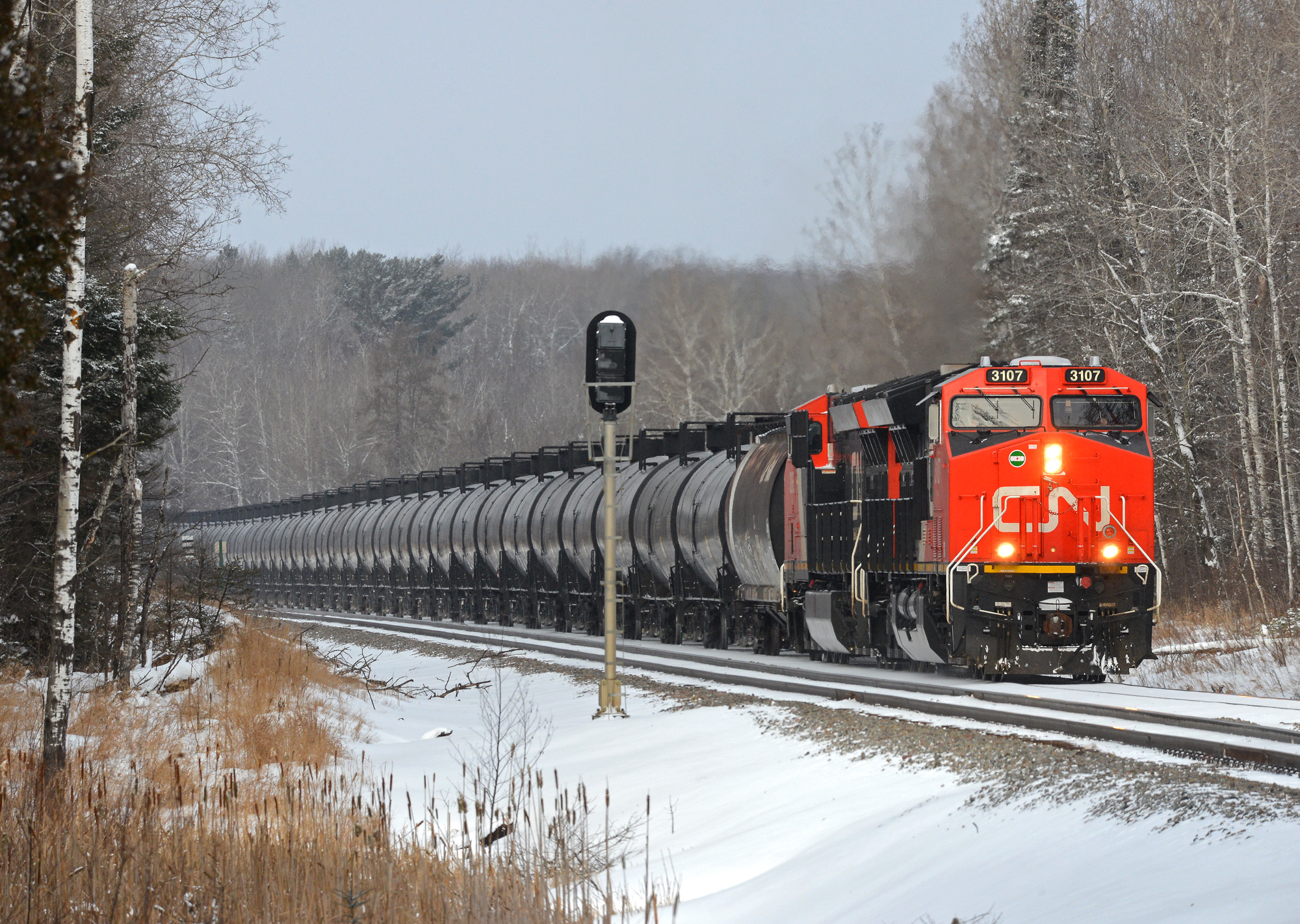
Oil Cans Southbound
all rail action
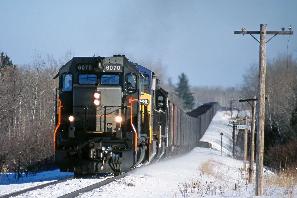
GCFX 6070
Brule weekend
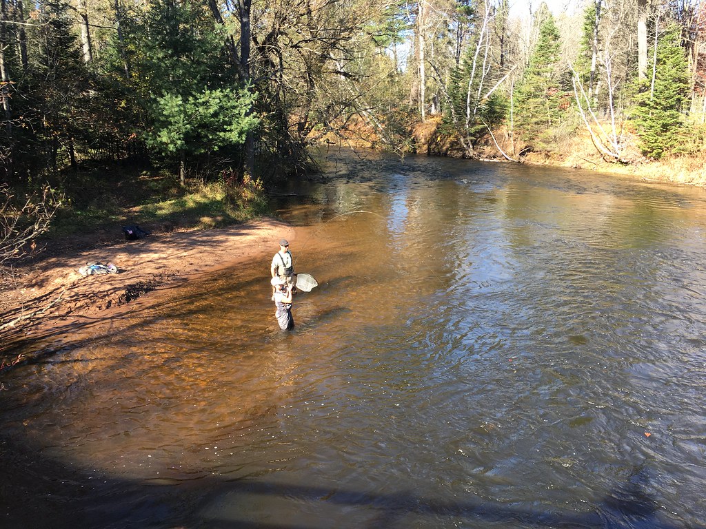
Brule weekend
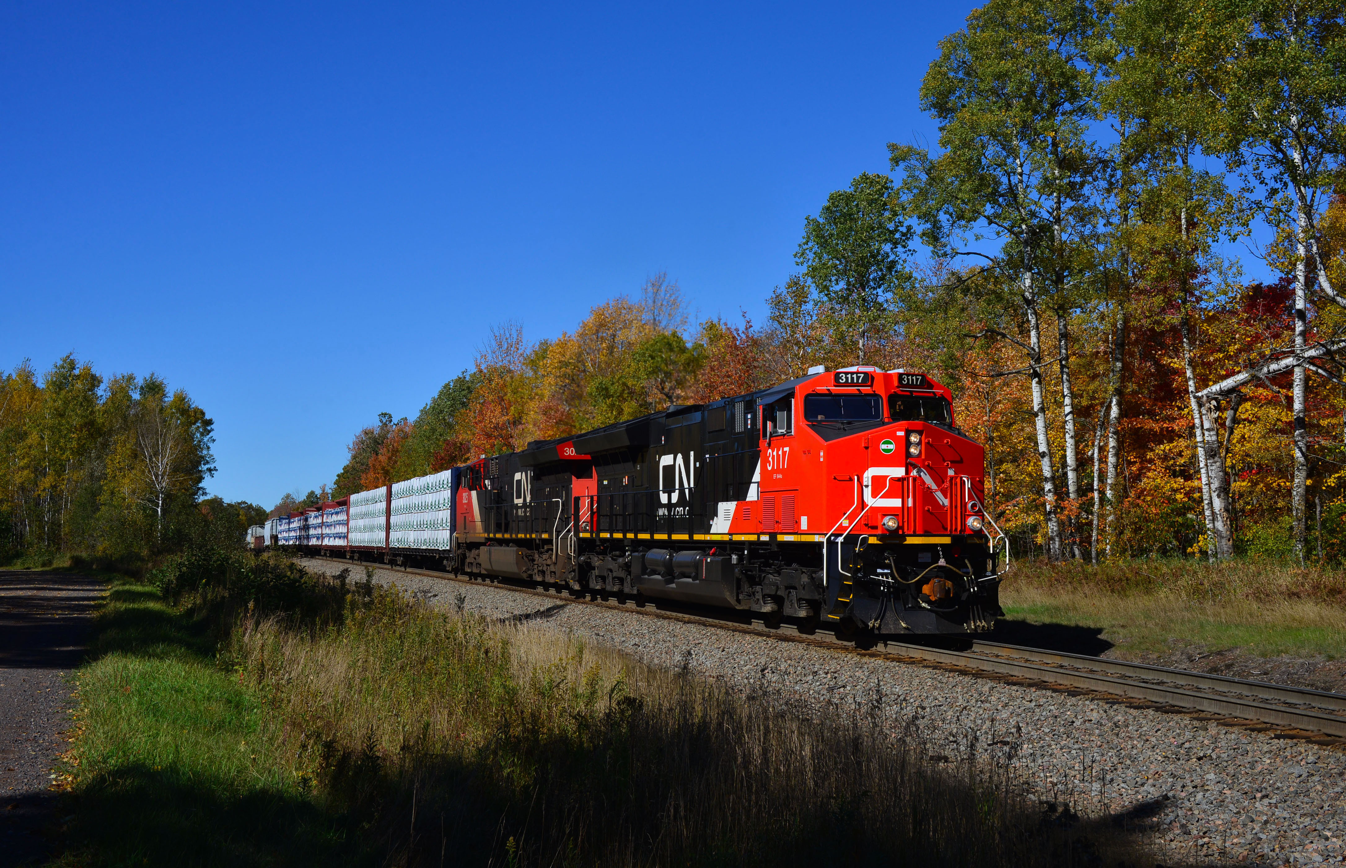
CN 3117 - 10/5/2016
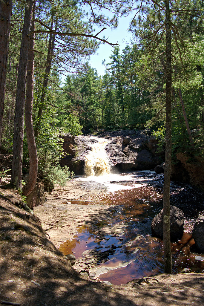
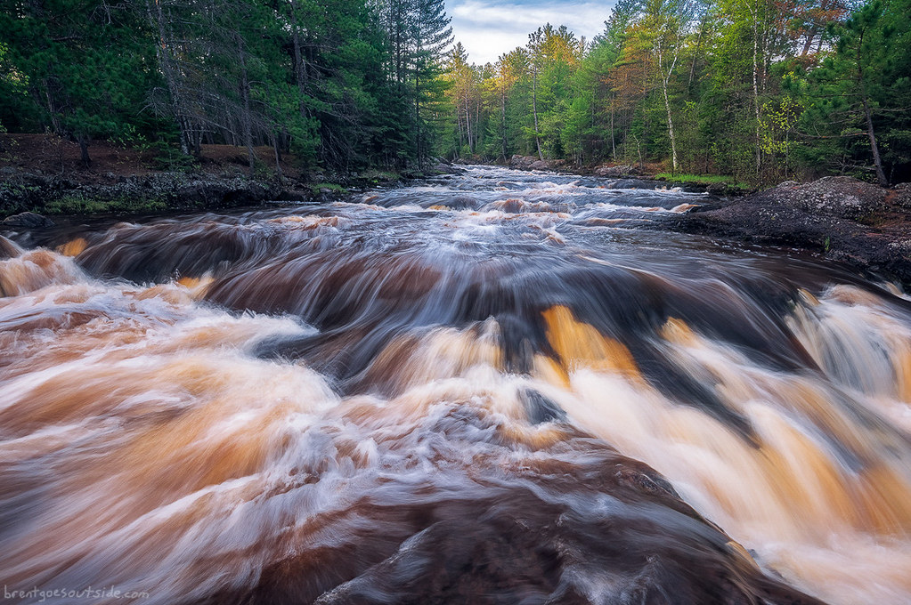
Amnicon Falls
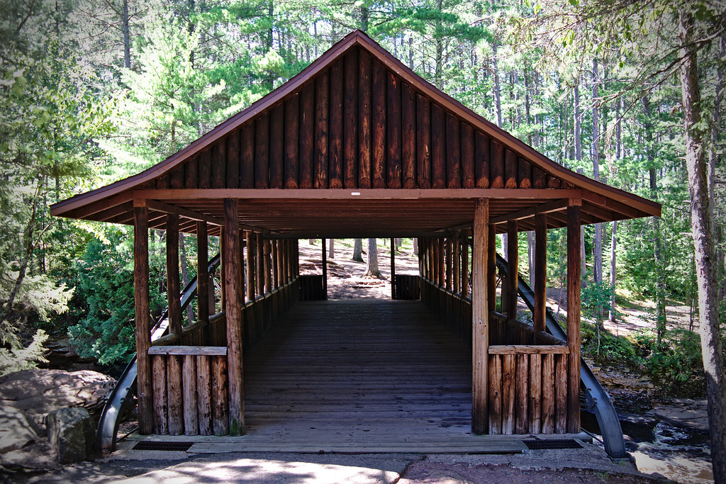
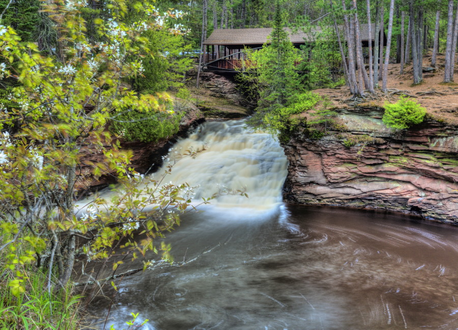
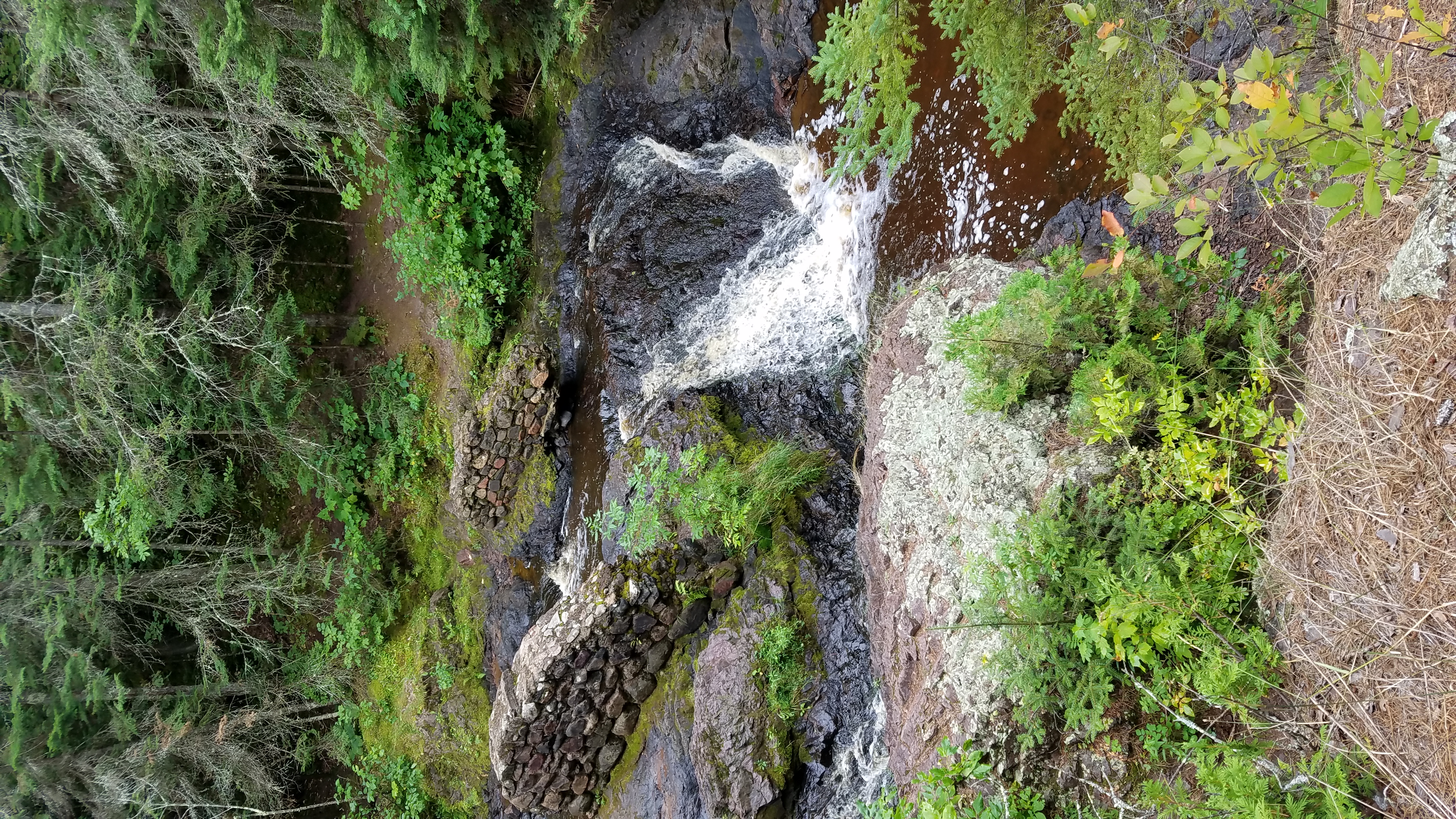
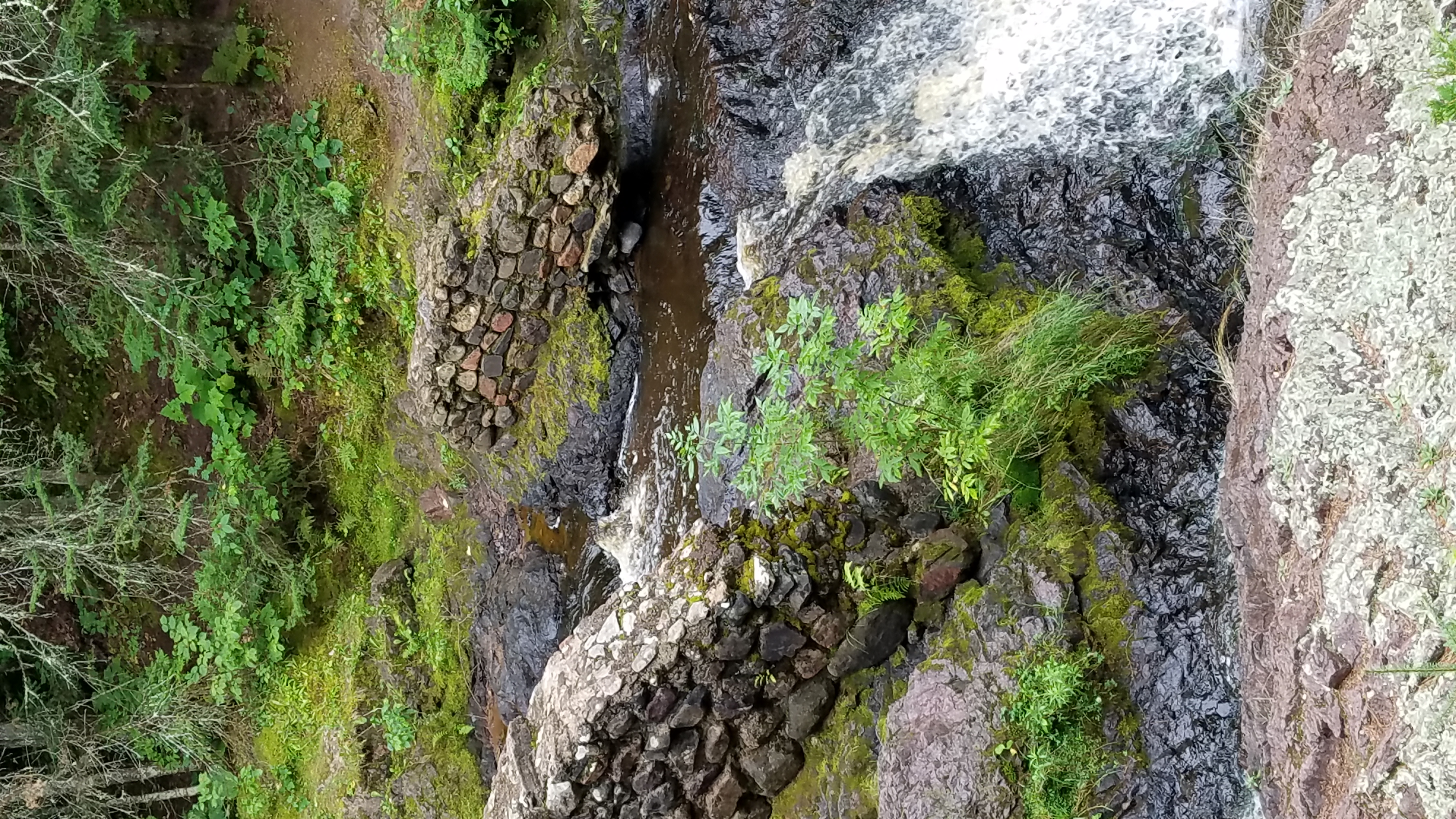
Covered Bridge
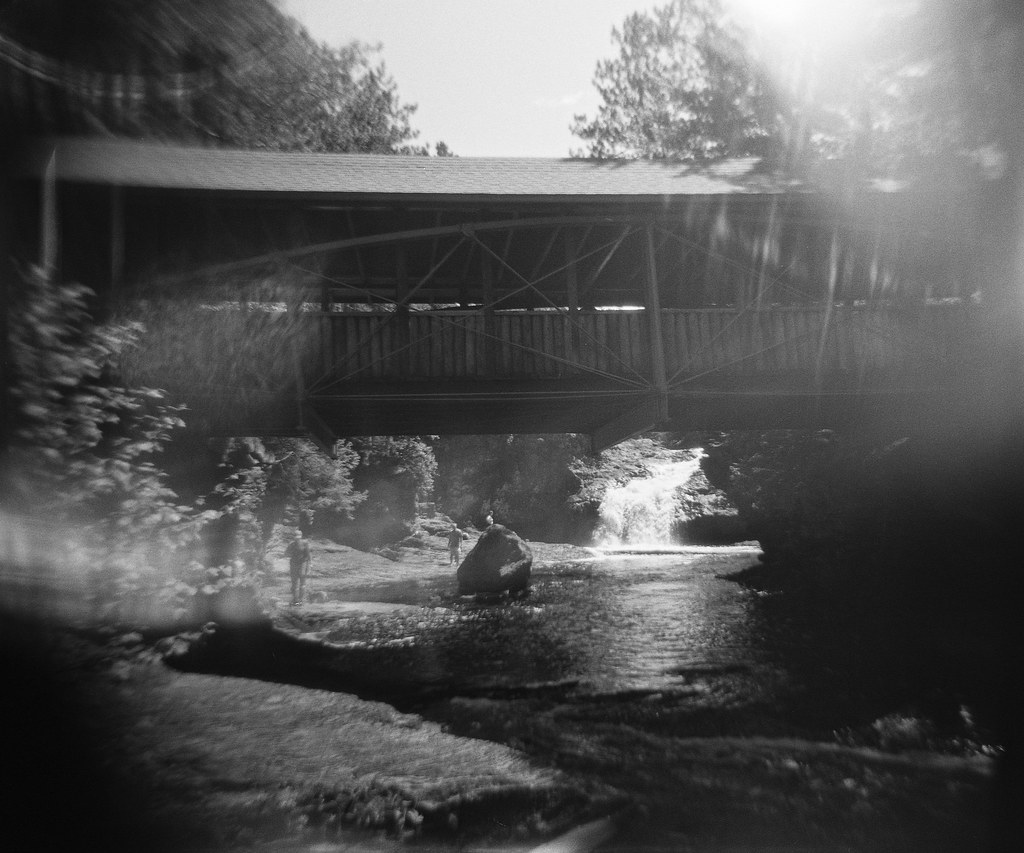
Bridge and Falls
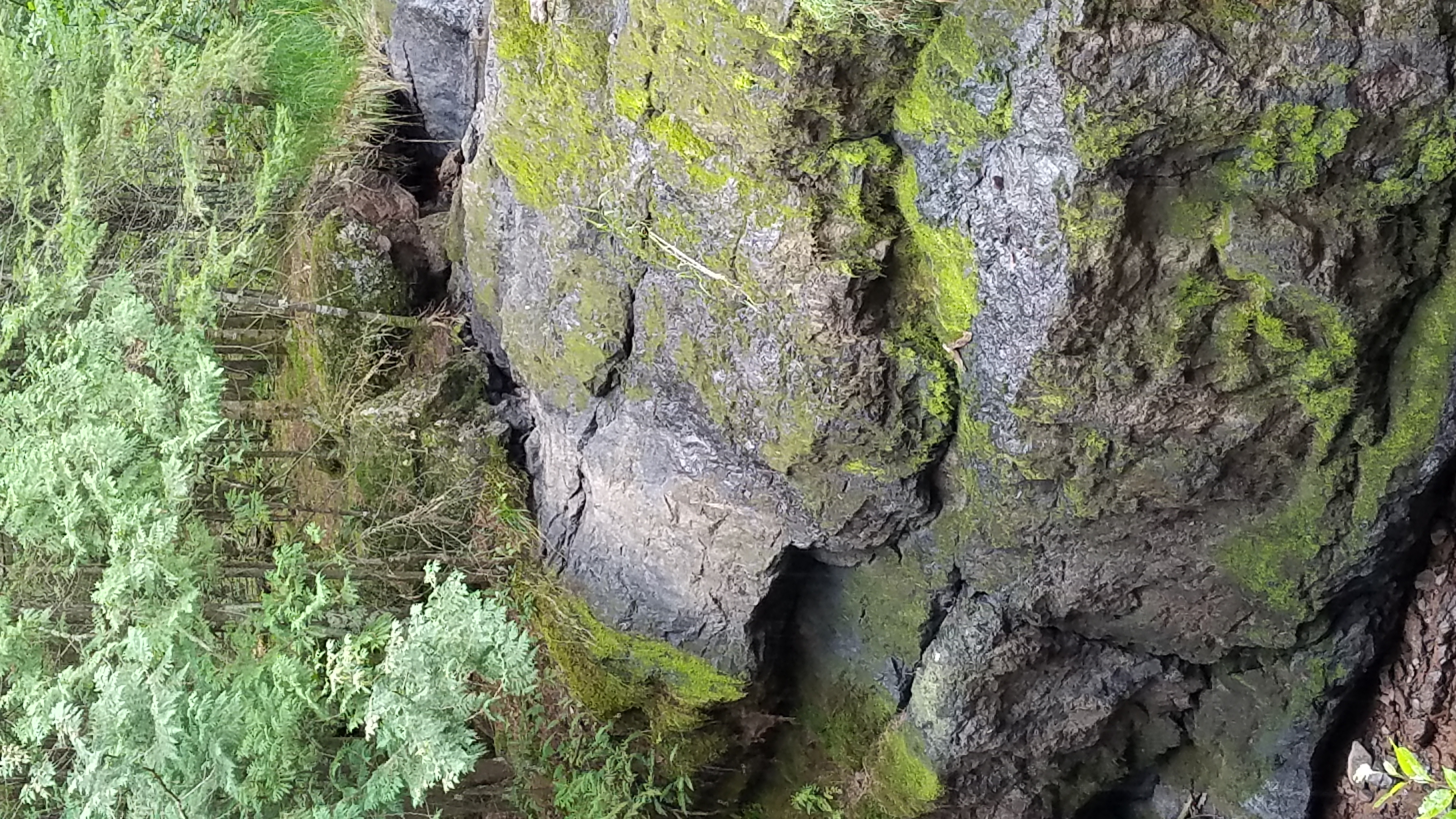
Amnicon Falls (1)
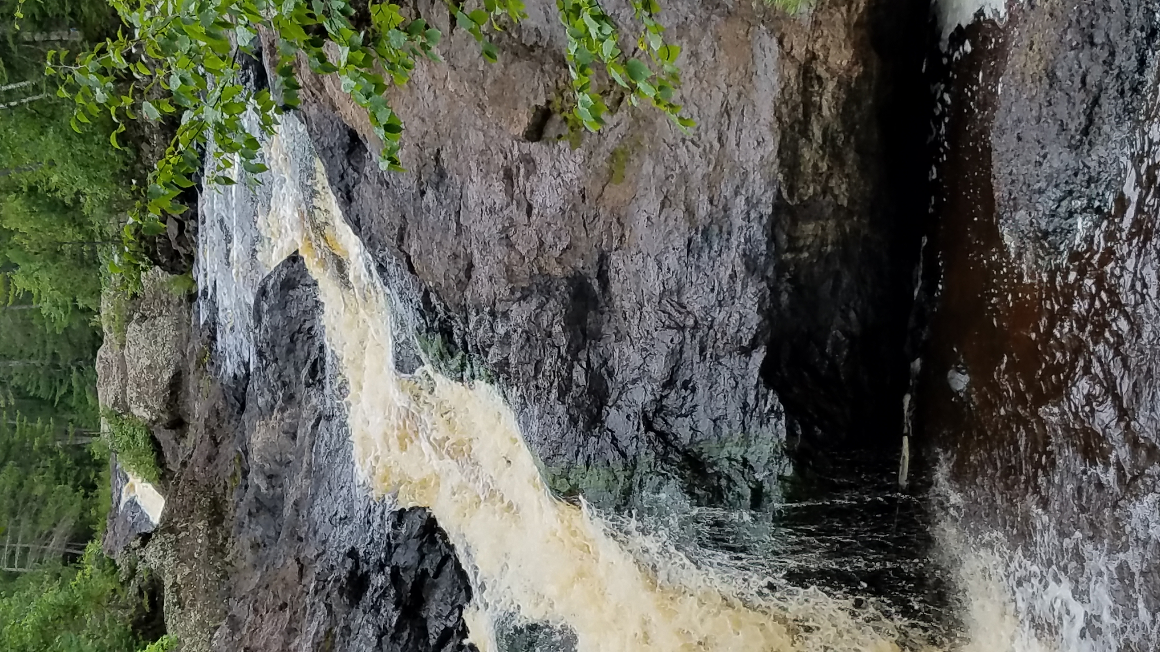
Amnicon Falls (10)
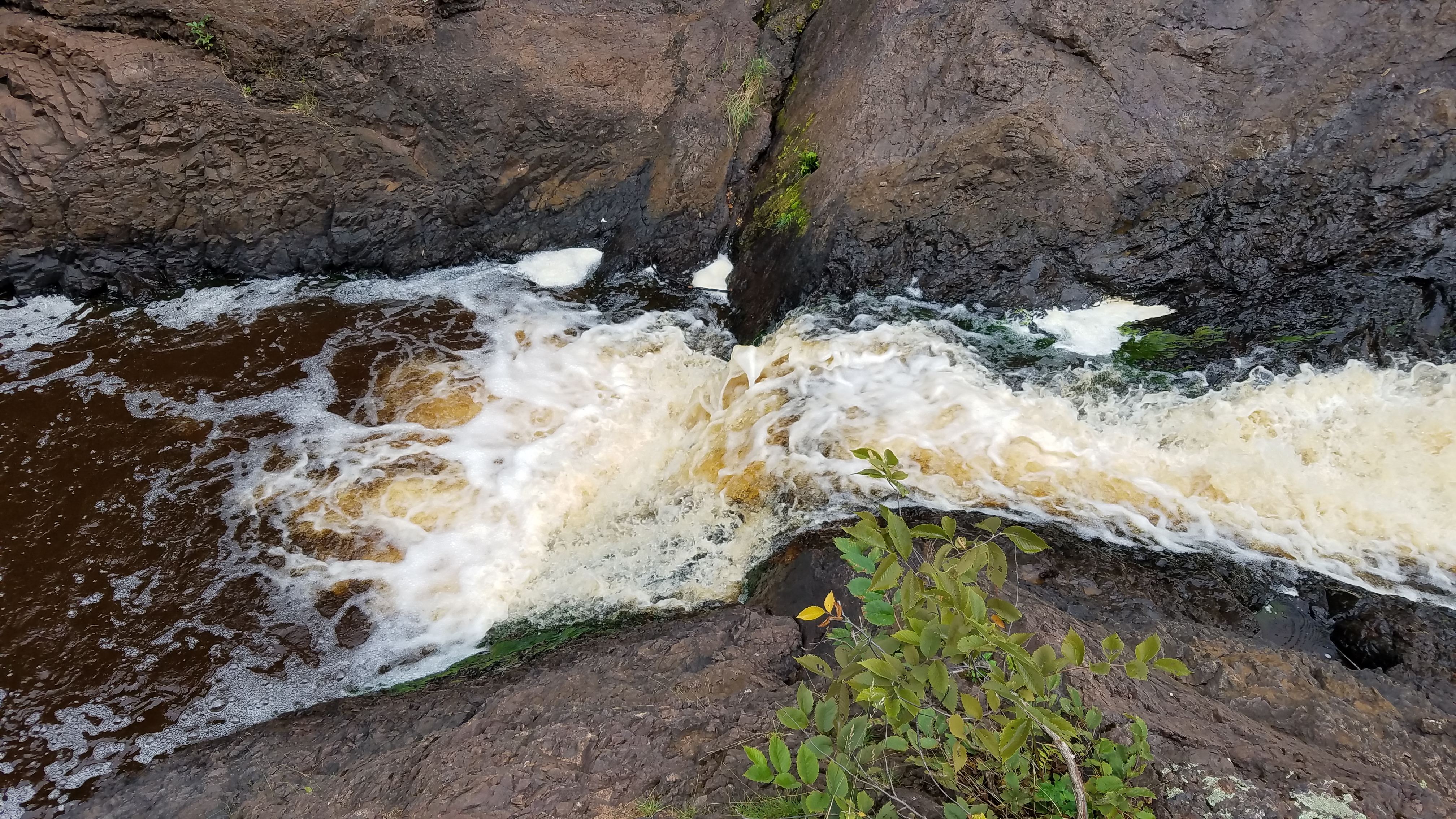
Amnicon Falls (13)
Amnicon Falls (14)
Amnicon Falls (15)
Amnicon Falls (16)
Amnicon Falls (17)
Amnicon Falls (18)
Dump Rd, Maple, WI, USA Karte
Suchen Sie einen anderen Ort
Nahe Plätze
Maple, WI, USA
County Rd F, Maple, WI, USA
Maple, WI, USA
Lake Nebagamon, Wisconsin, USA
E Homestead Rd, Poplar, WI, USA
Poplar, Wisconsin, USA
Wood Rd, Poplar, WI, USA
Amnicon, WI, USA
County Rd E, Poplar, WI, USA
Iron River, WI, USA
Allouez, Superior, WI, USA
E 1st St, Superior, WI, USA
Congdon Blvd, Duluth, MN, USA
Park Point, Duluth, MN, USA
North Shore, Duluth, MN, USA
Brighton St, Duluth, MN, USA
Ryan Rd, Duluth, MN, USA
South 60th Avenue East, S 60th Ave E, Duluth, MN, USA
Duluth Township, Minnesota, USA
London Rd, Duluth, MN, USA
Letzte Suche
- Red Dog Mine, AK, USA Sonnenaufgang Sonnenuntergang Zeiten
- Am Bahnhof, Am bhf, Borken, Germany Sonnenaufgang Sonnenuntergang Zeiten
- 4th St E, Sonoma, CA, USA Sonnenaufgang Sonnenuntergang Zeiten
- Oakland Ave, Williamsport, PA, USA Sonnenaufgang Sonnenuntergang Zeiten
- Via Roma, Pieranica CR, Italien Sonnenaufgang Sonnenuntergang Zeiten
- Glockenturm, Grad, Dubrovnik, Kroatien Sonnenaufgang Sonnenuntergang Zeiten
- Trelew, Chubut Province, Argentina Sonnenaufgang Sonnenuntergang Zeiten
- Hartfords Bluff Cir, Mt Pleasant, SC, USA Sonnenaufgang Sonnenuntergang Zeiten
- Kita-ku, Kumamoto, Präfektur Kumamoto, Japan Sonnenaufgang Sonnenuntergang Zeiten
- Pingtan Island, Pingtan County, Fuzhou, China Sonnenaufgang Sonnenuntergang Zeiten