Downieville, Kalifornien, USA Sonnenaufgang Sonnenuntergang Zeiten
Location: USA > Kalifornien > Sierra County >
Zeitzone:
America/Los_Angeles
Ortszeit:
2025-06-23 21:30:34
Länge:
-120.8276966
Breite:
39.5595198
Sonnenaufgang Heute:
05:37:05 AM
Sonnenuntergang Heute:
08:34:47 PM
Tageslänge heute:
14h 57m 42s
Sonnenaufgang morgen:
05:37:25 AM
Sonnenuntergang Morgen:
08:34:52 PM
Tageslänge von morgen:
14h 57m 27s
Alle Termine anzeigen
| Datum | Sonnenaufgang | Sonnenuntergang | Tageslänge |
|---|---|---|---|
| 2025-01-01 | 07:23:54 AM | 04:51:10 PM | 9h 27m 16s |
| 2025-01-02 | 07:23:57 AM | 04:52:02 PM | 9h 28m 5s |
| 2025-01-03 | 07:23:58 AM | 04:52:55 PM | 9h 28m 57s |
| 2025-01-04 | 07:23:57 AM | 04:53:50 PM | 9h 29m 53s |
| 2025-01-05 | 07:23:54 AM | 04:54:46 PM | 9h 30m 52s |
| 2025-01-06 | 07:23:48 AM | 04:55:43 PM | 9h 31m 55s |
| 2025-01-07 | 07:23:41 AM | 04:56:41 PM | 9h 33m 0s |
| 2025-01-08 | 07:23:31 AM | 04:57:40 PM | 9h 34m 9s |
| 2025-01-09 | 07:23:19 AM | 04:58:40 PM | 9h 35m 21s |
| 2025-01-10 | 07:23:05 AM | 04:59:42 PM | 9h 36m 37s |
| 2025-01-11 | 07:22:48 AM | 05:00:44 PM | 9h 37m 56s |
| 2025-01-12 | 07:22:30 AM | 05:01:47 PM | 9h 39m 17s |
| 2025-01-13 | 07:22:09 AM | 05:02:51 PM | 9h 40m 42s |
| 2025-01-14 | 07:21:46 AM | 05:03:56 PM | 9h 42m 10s |
| 2025-01-15 | 07:21:21 AM | 05:05:02 PM | 9h 43m 41s |
| 2025-01-16 | 07:20:54 AM | 05:06:08 PM | 9h 45m 14s |
| 2025-01-17 | 07:20:25 AM | 05:07:15 PM | 9h 46m 50s |
| 2025-01-18 | 07:19:54 AM | 05:08:23 PM | 9h 48m 29s |
| 2025-01-19 | 07:19:21 AM | 05:09:31 PM | 9h 50m 10s |
| 2025-01-20 | 07:18:46 AM | 05:10:39 PM | 9h 51m 53s |
| 2025-01-21 | 07:18:09 AM | 05:11:48 PM | 9h 53m 39s |
| 2025-01-22 | 07:17:30 AM | 05:12:58 PM | 9h 55m 28s |
| 2025-01-23 | 07:16:49 AM | 05:14:08 PM | 9h 57m 19s |
| 2025-01-24 | 07:16:06 AM | 05:15:18 PM | 9h 59m 12s |
| 2025-01-25 | 07:15:22 AM | 05:16:28 PM | 10h 1m 6s |
| 2025-01-26 | 07:14:35 AM | 05:17:39 PM | 10h 3m 4s |
| 2025-01-27 | 07:13:47 AM | 05:18:49 PM | 10h 5m 2s |
| 2025-01-28 | 07:12:57 AM | 05:20:00 PM | 10h 7m 3s |
| 2025-01-29 | 07:12:05 AM | 05:21:11 PM | 10h 9m 6s |
| 2025-01-30 | 07:11:11 AM | 05:22:22 PM | 10h 11m 11s |
| 2025-01-31 | 07:10:16 AM | 05:23:34 PM | 10h 13m 18s |
| 2025-02-01 | 07:09:19 AM | 05:24:45 PM | 10h 15m 26s |
| 2025-02-02 | 07:08:20 AM | 05:25:56 PM | 10h 17m 36s |
| 2025-02-03 | 07:07:20 AM | 05:27:07 PM | 10h 19m 47s |
| 2025-02-04 | 07:06:19 AM | 05:28:18 PM | 10h 21m 59s |
| 2025-02-05 | 07:05:15 AM | 05:29:29 PM | 10h 24m 14s |
| 2025-02-06 | 07:04:11 AM | 05:30:40 PM | 10h 26m 29s |
| 2025-02-07 | 07:03:05 AM | 05:31:51 PM | 10h 28m 46s |
| 2025-02-08 | 07:01:57 AM | 05:33:01 PM | 10h 31m 4s |
| 2025-02-09 | 07:00:48 AM | 05:34:12 PM | 10h 33m 24s |
| 2025-02-10 | 06:59:38 AM | 05:35:22 PM | 10h 35m 44s |
| 2025-02-11 | 06:58:26 AM | 05:36:32 PM | 10h 38m 6s |
| 2025-02-12 | 06:57:14 AM | 05:37:42 PM | 10h 40m 28s |
| 2025-02-13 | 06:55:59 AM | 05:38:51 PM | 10h 42m 52s |
| 2025-02-14 | 06:54:44 AM | 05:40:00 PM | 10h 45m 16s |
| 2025-02-15 | 06:53:28 AM | 05:41:09 PM | 10h 47m 41s |
| 2025-02-16 | 06:52:10 AM | 05:42:18 PM | 10h 50m 8s |
| 2025-02-17 | 06:50:52 AM | 05:43:27 PM | 10h 52m 35s |
| 2025-02-18 | 06:49:32 AM | 05:44:35 PM | 10h 55m 3s |
| 2025-02-19 | 06:48:11 AM | 05:45:43 PM | 10h 57m 32s |
| 2025-02-20 | 06:46:49 AM | 05:46:50 PM | 11h 0m 1s |
| 2025-02-21 | 06:45:27 AM | 05:47:57 PM | 11h 2m 30s |
| 2025-02-22 | 06:44:03 AM | 05:49:04 PM | 11h 5m 1s |
| 2025-02-23 | 06:42:39 AM | 05:50:11 PM | 11h 7m 32s |
| 2025-02-24 | 06:41:13 AM | 05:51:17 PM | 11h 10m 4s |
| 2025-02-25 | 06:39:47 AM | 05:52:23 PM | 11h 12m 36s |
| 2025-02-26 | 06:38:20 AM | 05:53:29 PM | 11h 15m 9s |
| 2025-02-27 | 06:36:52 AM | 05:54:34 PM | 11h 17m 42s |
| 2025-02-28 | 06:35:24 AM | 05:55:40 PM | 11h 20m 16s |
| 2025-03-01 | 06:33:55 AM | 05:56:44 PM | 11h 22m 49s |
| 2025-03-02 | 06:32:25 AM | 05:57:49 PM | 11h 25m 24s |
| 2025-03-03 | 06:30:55 AM | 05:58:53 PM | 11h 27m 58s |
| 2025-03-04 | 06:29:24 AM | 05:59:57 PM | 11h 30m 33s |
| 2025-03-05 | 06:27:52 AM | 06:01:01 PM | 11h 33m 9s |
| 2025-03-06 | 06:26:20 AM | 06:02:04 PM | 11h 35m 44s |
| 2025-03-07 | 06:24:47 AM | 06:03:07 PM | 11h 38m 20s |
| 2025-03-08 | 06:23:14 AM | 06:04:10 PM | 11h 40m 56s |
| 2025-03-09 | 07:21:45 AM | 07:05:10 PM | 11h 43m 25s |
| 2025-03-10 | 07:20:11 AM | 07:06:12 PM | 11h 46m 1s |
| 2025-03-11 | 07:18:37 AM | 07:07:15 PM | 11h 48m 38s |
| 2025-03-12 | 07:17:02 AM | 07:08:16 PM | 11h 51m 14s |
| 2025-03-13 | 07:15:27 AM | 07:09:18 PM | 11h 53m 51s |
| 2025-03-14 | 07:13:52 AM | 07:10:20 PM | 11h 56m 28s |
| 2025-03-15 | 07:12:17 AM | 07:11:21 PM | 11h 59m 4s |
| 2025-03-16 | 07:10:41 AM | 07:12:22 PM | 12h 1m 41s |
| 2025-03-17 | 07:09:05 AM | 07:13:23 PM | 12h 4m 18s |
| 2025-03-18 | 07:07:29 AM | 07:14:24 PM | 12h 6m 55s |
| 2025-03-19 | 07:05:53 AM | 07:15:25 PM | 12h 9m 32s |
| 2025-03-20 | 07:04:17 AM | 07:16:25 PM | 12h 12m 8s |
| 2025-03-21 | 07:02:41 AM | 07:17:25 PM | 12h 14m 44s |
| 2025-03-22 | 07:01:05 AM | 07:18:26 PM | 12h 17m 21s |
| 2025-03-23 | 06:59:29 AM | 07:19:26 PM | 12h 19m 57s |
| 2025-03-24 | 06:57:52 AM | 07:20:26 PM | 12h 22m 34s |
| 2025-03-25 | 06:56:16 AM | 07:21:26 PM | 12h 25m 10s |
| 2025-03-26 | 06:54:40 AM | 07:22:26 PM | 12h 27m 46s |
| 2025-03-27 | 06:53:04 AM | 07:23:25 PM | 12h 30m 21s |
| 2025-03-28 | 06:51:28 AM | 07:24:25 PM | 12h 32m 57s |
| 2025-03-29 | 06:49:53 AM | 07:25:25 PM | 12h 35m 32s |
| 2025-03-30 | 06:48:17 AM | 07:26:24 PM | 12h 38m 7s |
| 2025-03-31 | 06:46:42 AM | 07:27:24 PM | 12h 40m 42s |
| 2025-04-01 | 06:45:07 AM | 07:28:24 PM | 12h 43m 17s |
| 2025-04-02 | 06:43:33 AM | 07:29:23 PM | 12h 45m 50s |
| 2025-04-03 | 06:41:58 AM | 07:30:23 PM | 12h 48m 25s |
| 2025-04-04 | 06:40:24 AM | 07:31:22 PM | 12h 50m 58s |
| 2025-04-05 | 06:38:51 AM | 07:32:22 PM | 12h 53m 31s |
| 2025-04-06 | 06:37:18 AM | 07:33:21 PM | 12h 56m 3s |
| 2025-04-07 | 06:35:45 AM | 07:34:21 PM | 12h 58m 36s |
| 2025-04-08 | 06:34:13 AM | 07:35:20 PM | 13h 1m 7s |
| 2025-04-09 | 06:32:41 AM | 07:36:20 PM | 13h 3m 39s |
| 2025-04-10 | 06:31:10 AM | 07:37:19 PM | 13h 6m 9s |
| 2025-04-11 | 06:29:40 AM | 07:38:19 PM | 13h 8m 39s |
| 2025-04-12 | 06:28:10 AM | 07:39:19 PM | 13h 11m 9s |
| 2025-04-13 | 06:26:41 AM | 07:40:18 PM | 13h 13m 37s |
| 2025-04-14 | 06:25:12 AM | 07:41:18 PM | 13h 16m 6s |
| 2025-04-15 | 06:23:44 AM | 07:42:18 PM | 13h 18m 34s |
| 2025-04-16 | 06:22:17 AM | 07:43:17 PM | 13h 21m 0s |
| 2025-04-17 | 06:20:50 AM | 07:44:17 PM | 13h 23m 27s |
| 2025-04-18 | 06:19:25 AM | 07:45:17 PM | 13h 25m 52s |
| 2025-04-19 | 06:18:00 AM | 07:46:17 PM | 13h 28m 17s |
| 2025-04-20 | 06:16:36 AM | 07:47:17 PM | 13h 30m 41s |
| 2025-04-21 | 06:15:13 AM | 07:48:16 PM | 13h 33m 3s |
| 2025-04-22 | 06:13:51 AM | 07:49:16 PM | 13h 35m 25s |
| 2025-04-23 | 06:12:29 AM | 07:50:16 PM | 13h 37m 47s |
| 2025-04-24 | 06:11:09 AM | 07:51:16 PM | 13h 40m 7s |
| 2025-04-25 | 06:09:50 AM | 07:52:16 PM | 13h 42m 26s |
| 2025-04-26 | 06:08:32 AM | 07:53:15 PM | 13h 44m 43s |
| 2025-04-27 | 06:07:15 AM | 07:54:15 PM | 13h 47m 0s |
| 2025-04-28 | 06:05:59 AM | 07:55:15 PM | 13h 49m 16s |
| 2025-04-29 | 06:04:44 AM | 07:56:14 PM | 13h 51m 30s |
| 2025-04-30 | 06:03:30 AM | 07:57:14 PM | 13h 53m 44s |
| 2025-05-01 | 06:02:17 AM | 07:58:13 PM | 13h 55m 56s |
| 2025-05-02 | 06:01:06 AM | 07:59:12 PM | 13h 58m 6s |
| 2025-05-03 | 05:59:56 AM | 08:00:11 PM | 14h 0m 15s |
| 2025-05-04 | 05:58:47 AM | 08:01:10 PM | 14h 2m 23s |
| 2025-05-05 | 05:57:40 AM | 08:02:09 PM | 14h 4m 29s |
| 2025-05-06 | 05:56:34 AM | 08:03:07 PM | 14h 6m 33s |
| 2025-05-07 | 05:55:29 AM | 08:04:05 PM | 14h 8m 36s |
| 2025-05-08 | 05:54:26 AM | 08:05:03 PM | 14h 10m 37s |
| 2025-05-09 | 05:53:24 AM | 08:06:01 PM | 14h 12m 37s |
| 2025-05-10 | 05:52:23 AM | 08:06:58 PM | 14h 14m 35s |
| 2025-05-11 | 05:51:25 AM | 08:07:55 PM | 14h 16m 30s |
| 2025-05-12 | 05:50:27 AM | 08:08:52 PM | 14h 18m 25s |
| 2025-05-13 | 05:49:31 AM | 08:09:48 PM | 14h 20m 17s |
| 2025-05-14 | 05:48:37 AM | 08:10:44 PM | 14h 22m 7s |
| 2025-05-15 | 05:47:44 AM | 08:11:39 PM | 14h 23m 55s |
| 2025-05-16 | 05:46:53 AM | 08:12:34 PM | 14h 25m 41s |
| 2025-05-17 | 05:46:04 AM | 08:13:28 PM | 14h 27m 24s |
| 2025-05-18 | 05:45:16 AM | 08:14:22 PM | 14h 29m 6s |
| 2025-05-19 | 05:44:30 AM | 08:15:15 PM | 14h 30m 45s |
| 2025-05-20 | 05:43:45 AM | 08:16:08 PM | 14h 32m 23s |
| 2025-05-21 | 05:43:03 AM | 08:16:59 PM | 14h 33m 56s |
| 2025-05-22 | 05:42:22 AM | 08:17:50 PM | 14h 35m 28s |
| 2025-05-23 | 05:41:43 AM | 08:18:41 PM | 14h 36m 58s |
| 2025-05-24 | 05:41:06 AM | 08:19:30 PM | 14h 38m 24s |
| 2025-05-25 | 05:40:30 AM | 08:20:19 PM | 14h 39m 49s |
| 2025-05-26 | 05:39:56 AM | 08:21:07 PM | 14h 41m 11s |
| 2025-05-27 | 05:39:25 AM | 08:21:53 PM | 14h 42m 28s |
| 2025-05-28 | 05:38:55 AM | 08:22:39 PM | 14h 43m 44s |
| 2025-05-29 | 05:38:27 AM | 08:23:24 PM | 14h 44m 57s |
| 2025-05-30 | 05:38:00 AM | 08:24:08 PM | 14h 46m 8s |
| 2025-05-31 | 05:37:36 AM | 08:24:51 PM | 14h 47m 15s |
| 2025-06-01 | 05:37:14 AM | 08:25:32 PM | 14h 48m 18s |
| 2025-06-02 | 05:36:53 AM | 08:26:13 PM | 14h 49m 20s |
| 2025-06-03 | 05:36:35 AM | 08:26:52 PM | 14h 50m 17s |
| 2025-06-04 | 05:36:18 AM | 08:27:30 PM | 14h 51m 12s |
| 2025-06-05 | 05:36:03 AM | 08:28:07 PM | 14h 52m 4s |
| 2025-06-06 | 05:35:50 AM | 08:28:42 PM | 14h 52m 52s |
| 2025-06-07 | 05:35:39 AM | 08:29:16 PM | 14h 53m 37s |
| 2025-06-08 | 05:35:30 AM | 08:29:49 PM | 14h 54m 19s |
| 2025-06-09 | 05:35:23 AM | 08:30:20 PM | 14h 54m 57s |
| 2025-06-10 | 05:35:18 AM | 08:30:49 PM | 14h 55m 31s |
| 2025-06-11 | 05:35:15 AM | 08:31:18 PM | 14h 56m 3s |
| 2025-06-12 | 05:35:13 AM | 08:31:44 PM | 14h 56m 31s |
| 2025-06-13 | 05:35:14 AM | 08:32:09 PM | 14h 56m 55s |
| 2025-06-14 | 05:35:16 AM | 08:32:32 PM | 14h 57m 16s |
| 2025-06-15 | 05:35:20 AM | 08:32:54 PM | 14h 57m 34s |
| 2025-06-16 | 05:35:26 AM | 08:33:14 PM | 14h 57m 48s |
| 2025-06-17 | 05:35:34 AM | 08:33:33 PM | 14h 57m 59s |
| 2025-06-18 | 05:35:44 AM | 08:33:49 PM | 14h 58m 5s |
| 2025-06-19 | 05:35:55 AM | 08:34:04 PM | 14h 58m 9s |
| 2025-06-20 | 05:36:08 AM | 08:34:17 PM | 14h 58m 9s |
| 2025-06-21 | 05:36:23 AM | 08:34:28 PM | 14h 58m 5s |
| 2025-06-22 | 05:36:40 AM | 08:34:37 PM | 14h 57m 57s |
| 2025-06-23 | 05:36:58 AM | 08:34:45 PM | 14h 57m 47s |
| 2025-06-24 | 05:37:18 AM | 08:34:51 PM | 14h 57m 33s |
| 2025-06-25 | 05:37:39 AM | 08:34:54 PM | 14h 57m 15s |
| 2025-06-26 | 05:38:02 AM | 08:34:56 PM | 14h 56m 54s |
| 2025-06-27 | 05:38:27 AM | 08:34:56 PM | 14h 56m 29s |
| 2025-06-28 | 05:38:53 AM | 08:34:54 PM | 14h 56m 1s |
| 2025-06-29 | 05:39:20 AM | 08:34:50 PM | 14h 55m 30s |
| 2025-06-30 | 05:39:49 AM | 08:34:44 PM | 14h 54m 55s |
| 2025-07-01 | 05:40:20 AM | 08:34:37 PM | 14h 54m 17s |
| 2025-07-02 | 05:40:52 AM | 08:34:27 PM | 14h 53m 35s |
| 2025-07-03 | 05:41:25 AM | 08:34:15 PM | 14h 52m 50s |
| 2025-07-04 | 05:41:59 AM | 08:34:01 PM | 14h 52m 2s |
| 2025-07-05 | 05:42:35 AM | 08:33:46 PM | 14h 51m 11s |
| 2025-07-06 | 05:43:12 AM | 08:33:28 PM | 14h 50m 16s |
| 2025-07-07 | 05:43:50 AM | 08:33:08 PM | 14h 49m 18s |
| 2025-07-08 | 05:44:29 AM | 08:32:47 PM | 14h 48m 18s |
| 2025-07-09 | 05:45:09 AM | 08:32:23 PM | 14h 47m 14s |
| 2025-07-10 | 05:45:50 AM | 08:31:58 PM | 14h 46m 8s |
| 2025-07-11 | 05:46:33 AM | 08:31:31 PM | 14h 44m 58s |
| 2025-07-12 | 05:47:16 AM | 08:31:01 PM | 14h 43m 45s |
| 2025-07-13 | 05:48:00 AM | 08:30:30 PM | 14h 42m 30s |
| 2025-07-14 | 05:48:45 AM | 08:29:57 PM | 14h 41m 12s |
| 2025-07-15 | 05:49:31 AM | 08:29:22 PM | 14h 39m 51s |
| 2025-07-16 | 05:50:18 AM | 08:28:46 PM | 14h 38m 28s |
| 2025-07-17 | 05:51:06 AM | 08:28:07 PM | 14h 37m 1s |
| 2025-07-18 | 05:51:54 AM | 08:27:27 PM | 14h 35m 33s |
| 2025-07-19 | 05:52:43 AM | 08:26:45 PM | 14h 34m 2s |
| 2025-07-20 | 05:53:32 AM | 08:26:01 PM | 14h 32m 29s |
| 2025-07-21 | 05:54:23 AM | 08:25:15 PM | 14h 30m 52s |
| 2025-07-22 | 05:55:13 AM | 08:24:27 PM | 14h 29m 14s |
| 2025-07-23 | 05:56:05 AM | 08:23:38 PM | 14h 27m 33s |
| 2025-07-24 | 05:56:56 AM | 08:22:47 PM | 14h 25m 51s |
| 2025-07-25 | 05:57:49 AM | 08:21:55 PM | 14h 24m 6s |
| 2025-07-26 | 05:58:41 AM | 08:21:01 PM | 14h 22m 20s |
| 2025-07-27 | 05:59:35 AM | 08:20:05 PM | 14h 20m 30s |
| 2025-07-28 | 06:00:28 AM | 08:19:08 PM | 14h 18m 40s |
| 2025-07-29 | 06:01:22 AM | 08:18:09 PM | 14h 16m 47s |
| 2025-07-30 | 06:02:16 AM | 08:17:08 PM | 14h 14m 52s |
| 2025-07-31 | 06:03:10 AM | 08:16:06 PM | 14h 12m 56s |
| 2025-08-01 | 06:04:05 AM | 08:15:03 PM | 14h 10m 58s |
| 2025-08-02 | 06:05:00 AM | 08:13:58 PM | 14h 8m 58s |
| 2025-08-03 | 06:05:55 AM | 08:12:52 PM | 14h 6m 57s |
| 2025-08-04 | 06:06:50 AM | 08:11:44 PM | 14h 4m 54s |
| 2025-08-05 | 06:07:46 AM | 08:10:35 PM | 14h 2m 49s |
| 2025-08-06 | 06:08:41 AM | 08:09:25 PM | 14h 0m 44s |
| 2025-08-07 | 06:09:37 AM | 08:08:13 PM | 13h 58m 36s |
| 2025-08-08 | 06:10:33 AM | 08:07:00 PM | 13h 56m 27s |
| 2025-08-09 | 06:11:29 AM | 08:05:46 PM | 13h 54m 17s |
| 2025-08-10 | 06:12:25 AM | 08:04:31 PM | 13h 52m 6s |
| 2025-08-11 | 06:13:21 AM | 08:03:14 PM | 13h 49m 53s |
| 2025-08-12 | 06:14:17 AM | 08:01:57 PM | 13h 47m 40s |
| 2025-08-13 | 06:15:13 AM | 08:00:38 PM | 13h 45m 25s |
| 2025-08-14 | 06:16:09 AM | 07:59:18 PM | 13h 43m 9s |
| 2025-08-15 | 06:17:05 AM | 07:57:57 PM | 13h 40m 52s |
| 2025-08-16 | 06:18:01 AM | 07:56:35 PM | 13h 38m 34s |
| 2025-08-17 | 06:18:57 AM | 07:55:13 PM | 13h 36m 16s |
| 2025-08-18 | 06:19:53 AM | 07:53:49 PM | 13h 33m 56s |
| 2025-08-19 | 06:20:49 AM | 07:52:24 PM | 13h 31m 35s |
| 2025-08-20 | 06:21:45 AM | 07:50:58 PM | 13h 29m 13s |
| 2025-08-21 | 06:22:41 AM | 07:49:32 PM | 13h 26m 51s |
| 2025-08-22 | 06:23:37 AM | 07:48:05 PM | 13h 24m 28s |
| 2025-08-23 | 06:24:32 AM | 07:46:36 PM | 13h 22m 4s |
| 2025-08-24 | 06:25:28 AM | 07:45:07 PM | 13h 19m 39s |
| 2025-08-25 | 06:26:24 AM | 07:43:38 PM | 13h 17m 14s |
| 2025-08-26 | 06:27:19 AM | 07:42:07 PM | 13h 14m 48s |
| 2025-08-27 | 06:28:15 AM | 07:40:36 PM | 13h 12m 21s |
| 2025-08-28 | 06:29:10 AM | 07:39:05 PM | 13h 9m 55s |
| 2025-08-29 | 06:30:06 AM | 07:37:32 PM | 13h 7m 26s |
| 2025-08-30 | 06:31:01 AM | 07:36:00 PM | 13h 4m 59s |
| 2025-08-31 | 06:31:56 AM | 07:34:26 PM | 13h 2m 30s |
| 2025-09-01 | 06:32:52 AM | 07:32:52 PM | 13h 0m 0s |
| 2025-09-02 | 06:33:47 AM | 07:31:18 PM | 12h 57m 31s |
| 2025-09-03 | 06:34:42 AM | 07:29:43 PM | 12h 55m 1s |
| 2025-09-04 | 06:35:37 AM | 07:28:07 PM | 12h 52m 30s |
| 2025-09-05 | 06:36:32 AM | 07:26:32 PM | 12h 50m 0s |
| 2025-09-06 | 06:37:28 AM | 07:24:55 PM | 12h 47m 27s |
| 2025-09-07 | 06:38:23 AM | 07:23:19 PM | 12h 44m 56s |
| 2025-09-08 | 06:39:18 AM | 07:21:42 PM | 12h 42m 24s |
| 2025-09-09 | 06:40:13 AM | 07:20:05 PM | 12h 39m 52s |
| 2025-09-10 | 06:41:08 AM | 07:18:28 PM | 12h 37m 20s |
| 2025-09-11 | 06:42:03 AM | 07:16:50 PM | 12h 34m 47s |
| 2025-09-12 | 06:42:58 AM | 07:15:12 PM | 12h 32m 14s |
| 2025-09-13 | 06:43:54 AM | 07:13:34 PM | 12h 29m 40s |
| 2025-09-14 | 06:44:49 AM | 07:11:56 PM | 12h 27m 7s |
| 2025-09-15 | 06:45:44 AM | 07:10:18 PM | 12h 24m 34s |
| 2025-09-16 | 06:46:40 AM | 07:08:39 PM | 12h 21m 59s |
| 2025-09-17 | 06:47:35 AM | 07:07:01 PM | 12h 19m 26s |
| 2025-09-18 | 06:48:31 AM | 07:05:23 PM | 12h 16m 52s |
| 2025-09-19 | 06:49:26 AM | 07:03:44 PM | 12h 14m 18s |
| 2025-09-20 | 06:50:22 AM | 07:02:06 PM | 12h 11m 44s |
| 2025-09-21 | 06:51:18 AM | 07:00:28 PM | 12h 9m 10s |
| 2025-09-22 | 06:52:14 AM | 06:58:49 PM | 12h 6m 35s |
| 2025-09-23 | 06:53:11 AM | 06:57:11 PM | 12h 4m 0s |
| 2025-09-24 | 06:54:07 AM | 06:55:33 PM | 12h 1m 26s |
| 2025-09-25 | 06:55:04 AM | 06:53:56 PM | 11h 58m 52s |
| 2025-09-26 | 06:56:00 AM | 06:52:18 PM | 11h 56m 18s |
| 2025-09-27 | 06:56:57 AM | 06:50:41 PM | 11h 53m 44s |
| 2025-09-28 | 06:57:54 AM | 06:49:04 PM | 11h 51m 10s |
| 2025-09-29 | 06:58:52 AM | 06:47:27 PM | 11h 48m 35s |
| 2025-09-30 | 06:59:50 AM | 06:45:51 PM | 11h 46m 1s |
| 2025-10-01 | 07:00:47 AM | 06:44:15 PM | 11h 43m 28s |
| 2025-10-02 | 07:01:45 AM | 06:42:39 PM | 11h 40m 54s |
| 2025-10-03 | 07:02:44 AM | 06:41:04 PM | 11h 38m 20s |
| 2025-10-04 | 07:03:42 AM | 06:39:29 PM | 11h 35m 47s |
| 2025-10-05 | 07:04:41 AM | 06:37:55 PM | 11h 33m 14s |
| 2025-10-06 | 07:05:41 AM | 06:36:21 PM | 11h 30m 40s |
| 2025-10-07 | 07:06:40 AM | 06:34:48 PM | 11h 28m 8s |
| 2025-10-08 | 07:07:40 AM | 06:33:15 PM | 11h 25m 35s |
| 2025-10-09 | 07:08:40 AM | 06:31:43 PM | 11h 23m 3s |
| 2025-10-10 | 07:09:40 AM | 06:30:12 PM | 11h 20m 32s |
| 2025-10-11 | 07:10:41 AM | 06:28:41 PM | 11h 18m 0s |
| 2025-10-12 | 07:11:42 AM | 06:27:12 PM | 11h 15m 30s |
| 2025-10-13 | 07:12:43 AM | 06:25:42 PM | 11h 12m 59s |
| 2025-10-14 | 07:13:45 AM | 06:24:14 PM | 11h 10m 29s |
| 2025-10-15 | 07:14:47 AM | 06:22:46 PM | 11h 7m 59s |
| 2025-10-16 | 07:15:50 AM | 06:21:19 PM | 11h 5m 29s |
| 2025-10-17 | 07:16:52 AM | 06:19:54 PM | 11h 3m 2s |
| 2025-10-18 | 07:17:55 AM | 06:18:29 PM | 11h 0m 34s |
| 2025-10-19 | 07:18:59 AM | 06:17:05 PM | 10h 58m 6s |
| 2025-10-20 | 07:20:02 AM | 06:15:41 PM | 10h 55m 39s |
| 2025-10-21 | 07:21:06 AM | 06:14:19 PM | 10h 53m 13s |
| 2025-10-22 | 07:22:11 AM | 06:12:58 PM | 10h 50m 47s |
| 2025-10-23 | 07:23:15 AM | 06:11:38 PM | 10h 48m 23s |
| 2025-10-24 | 07:24:20 AM | 06:10:20 PM | 10h 46m 0s |
| 2025-10-25 | 07:25:26 AM | 06:09:02 PM | 10h 43m 36s |
| 2025-10-26 | 07:26:31 AM | 06:07:45 PM | 10h 41m 14s |
| 2025-10-27 | 07:27:37 AM | 06:06:30 PM | 10h 38m 53s |
| 2025-10-28 | 07:28:43 AM | 06:05:16 PM | 10h 36m 33s |
| 2025-10-29 | 07:29:49 AM | 06:04:03 PM | 10h 34m 14s |
| 2025-10-30 | 07:30:56 AM | 06:02:52 PM | 10h 31m 56s |
| 2025-10-31 | 07:32:03 AM | 06:01:42 PM | 10h 29m 39s |
| 2025-11-01 | 07:33:10 AM | 06:00:33 PM | 10h 27m 23s |
| 2025-11-02 | 06:34:20 AM | 04:59:23 PM | 10h 25m 3s |
| 2025-11-03 | 06:35:28 AM | 04:58:18 PM | 10h 22m 50s |
| 2025-11-04 | 06:36:35 AM | 04:57:13 PM | 10h 20m 38s |
| 2025-11-05 | 06:37:43 AM | 04:56:11 PM | 10h 18m 28s |
| 2025-11-06 | 06:38:51 AM | 04:55:10 PM | 10h 16m 19s |
| 2025-11-07 | 06:39:59 AM | 04:54:10 PM | 10h 14m 11s |
| 2025-11-08 | 06:41:07 AM | 04:53:12 PM | 10h 12m 5s |
| 2025-11-09 | 06:42:15 AM | 04:52:16 PM | 10h 10m 1s |
| 2025-11-10 | 06:43:23 AM | 04:51:22 PM | 10h 7m 59s |
| 2025-11-11 | 06:44:31 AM | 04:50:29 PM | 10h 5m 58s |
| 2025-11-12 | 06:45:39 AM | 04:49:38 PM | 10h 3m 59s |
| 2025-11-13 | 06:46:46 AM | 04:48:49 PM | 10h 2m 3s |
| 2025-11-14 | 06:47:54 AM | 04:48:01 PM | 10h 0m 7s |
| 2025-11-15 | 06:49:01 AM | 04:47:16 PM | 9h 58m 15s |
| 2025-11-16 | 06:50:09 AM | 04:46:32 PM | 9h 56m 23s |
| 2025-11-17 | 06:51:16 AM | 04:45:51 PM | 9h 54m 35s |
| 2025-11-18 | 06:52:22 AM | 04:45:11 PM | 9h 52m 49s |
| 2025-11-19 | 06:53:29 AM | 04:44:33 PM | 9h 51m 4s |
| 2025-11-20 | 06:54:35 AM | 04:43:57 PM | 9h 49m 22s |
| 2025-11-21 | 06:55:40 AM | 04:43:24 PM | 9h 47m 44s |
| 2025-11-22 | 06:56:45 AM | 04:42:52 PM | 9h 46m 7s |
| 2025-11-23 | 06:57:50 AM | 04:42:22 PM | 9h 44m 32s |
| 2025-11-24 | 06:58:54 AM | 04:41:55 PM | 9h 43m 1s |
| 2025-11-25 | 06:59:57 AM | 04:41:30 PM | 9h 41m 33s |
| 2025-11-26 | 07:01:00 AM | 04:41:06 PM | 9h 40m 6s |
| 2025-11-27 | 07:02:02 AM | 04:40:45 PM | 9h 38m 43s |
| 2025-11-28 | 07:03:03 AM | 04:40:26 PM | 9h 37m 23s |
| 2025-11-29 | 07:04:03 AM | 04:40:10 PM | 9h 36m 7s |
| 2025-11-30 | 07:05:02 AM | 04:39:55 PM | 9h 34m 53s |
| 2025-12-01 | 07:06:01 AM | 04:39:43 PM | 9h 33m 42s |
| 2025-12-02 | 07:06:58 AM | 04:39:33 PM | 9h 32m 35s |
| 2025-12-03 | 07:07:54 AM | 04:39:25 PM | 9h 31m 31s |
| 2025-12-04 | 07:08:50 AM | 04:39:19 PM | 9h 30m 29s |
| 2025-12-05 | 07:09:44 AM | 04:39:16 PM | 9h 29m 32s |
| 2025-12-06 | 07:10:37 AM | 04:39:15 PM | 9h 28m 38s |
| 2025-12-07 | 07:11:28 AM | 04:39:16 PM | 9h 27m 48s |
| 2025-12-08 | 07:12:19 AM | 04:39:19 PM | 9h 27m 0s |
| 2025-12-09 | 07:13:08 AM | 04:39:24 PM | 9h 26m 16s |
| 2025-12-10 | 07:13:55 AM | 04:39:32 PM | 9h 25m 37s |
| 2025-12-11 | 07:14:41 AM | 04:39:42 PM | 9h 25m 1s |
| 2025-12-12 | 07:15:26 AM | 04:39:54 PM | 9h 24m 28s |
| 2025-12-13 | 07:16:09 AM | 04:40:08 PM | 9h 23m 59s |
| 2025-12-14 | 07:16:50 AM | 04:40:25 PM | 9h 23m 35s |
| 2025-12-15 | 07:17:30 AM | 04:40:43 PM | 9h 23m 13s |
| 2025-12-16 | 07:18:08 AM | 04:41:04 PM | 9h 22m 56s |
| 2025-12-17 | 07:18:44 AM | 04:41:27 PM | 9h 22m 43s |
| 2025-12-18 | 07:19:18 AM | 04:41:52 PM | 9h 22m 34s |
| 2025-12-19 | 07:19:51 AM | 04:42:19 PM | 9h 22m 28s |
| 2025-12-20 | 07:20:21 AM | 04:42:48 PM | 9h 22m 27s |
| 2025-12-21 | 07:20:50 AM | 04:43:19 PM | 9h 22m 29s |
| 2025-12-22 | 07:21:17 AM | 04:43:51 PM | 9h 22m 34s |
| 2025-12-23 | 07:21:42 AM | 04:44:26 PM | 9h 22m 44s |
| 2025-12-24 | 07:22:05 AM | 04:45:03 PM | 9h 22m 58s |
| 2025-12-25 | 07:22:25 AM | 04:45:41 PM | 9h 23m 16s |
| 2025-12-26 | 07:22:44 AM | 04:46:22 PM | 9h 23m 38s |
| 2025-12-27 | 07:23:01 AM | 04:47:03 PM | 9h 24m 2s |
| 2025-12-28 | 07:23:15 AM | 04:47:47 PM | 9h 24m 32s |
| 2025-12-29 | 07:23:28 AM | 04:48:32 PM | 9h 25m 4s |
| 2025-12-30 | 07:23:38 AM | 04:49:19 PM | 9h 25m 41s |
| 2025-12-31 | 07:23:46 AM | 04:50:08 PM | 9h 26m 22s |
Fotos
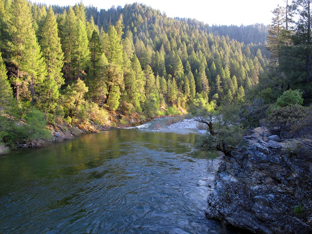
Down the River
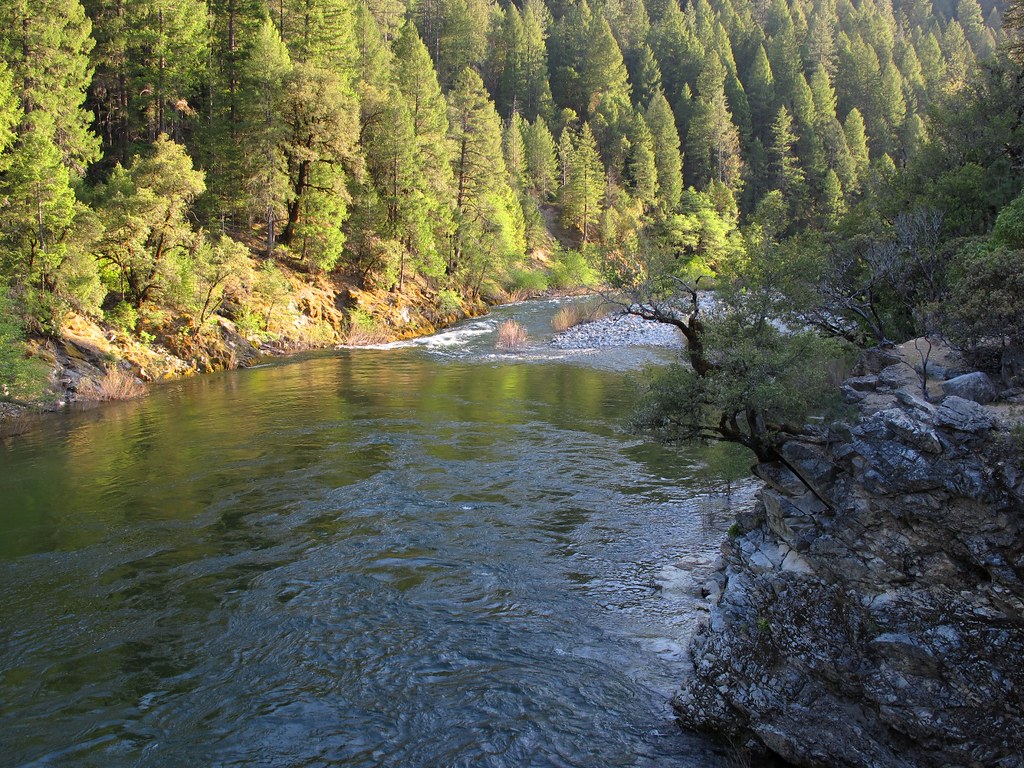
Go With The Flow
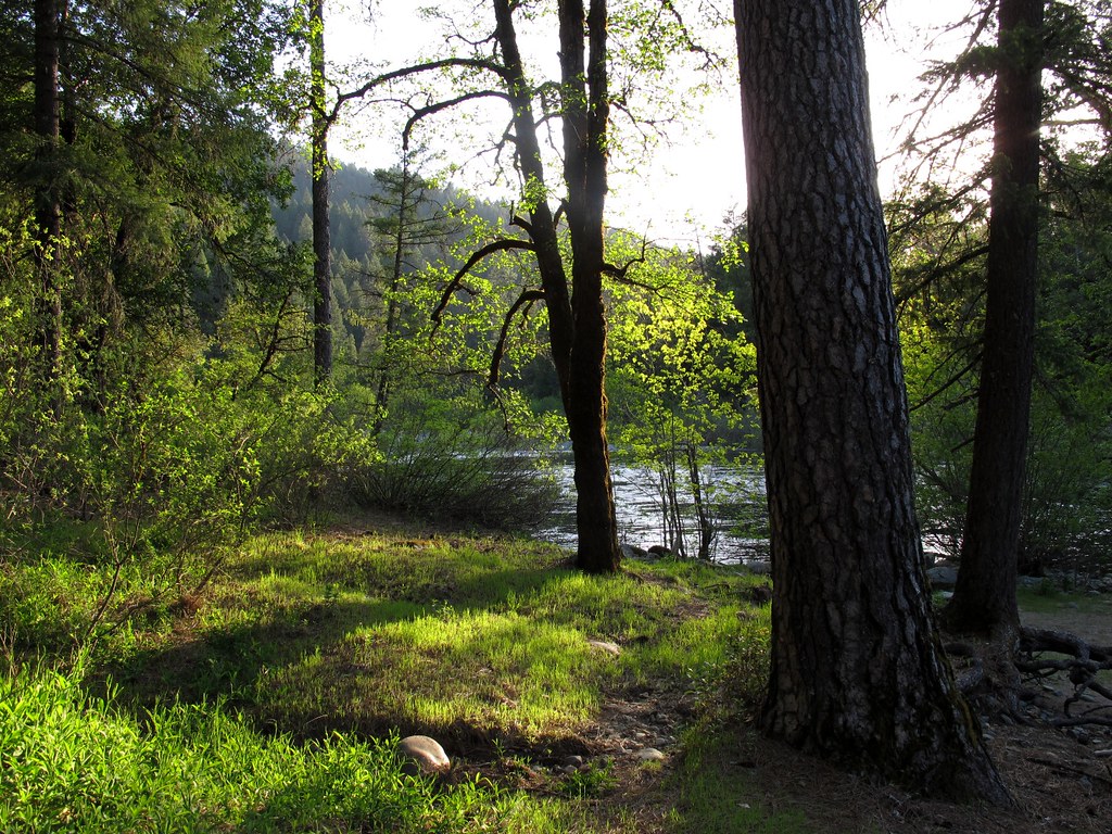
Evening Light
Sierra Butttes Sunset
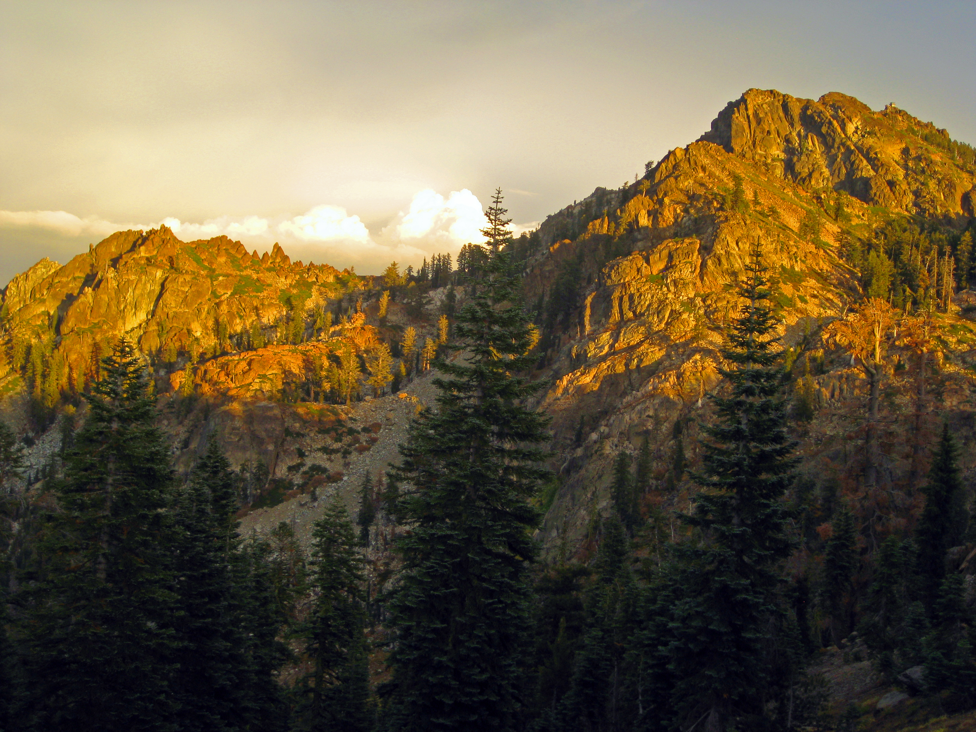
Sierra Butttes Sunset
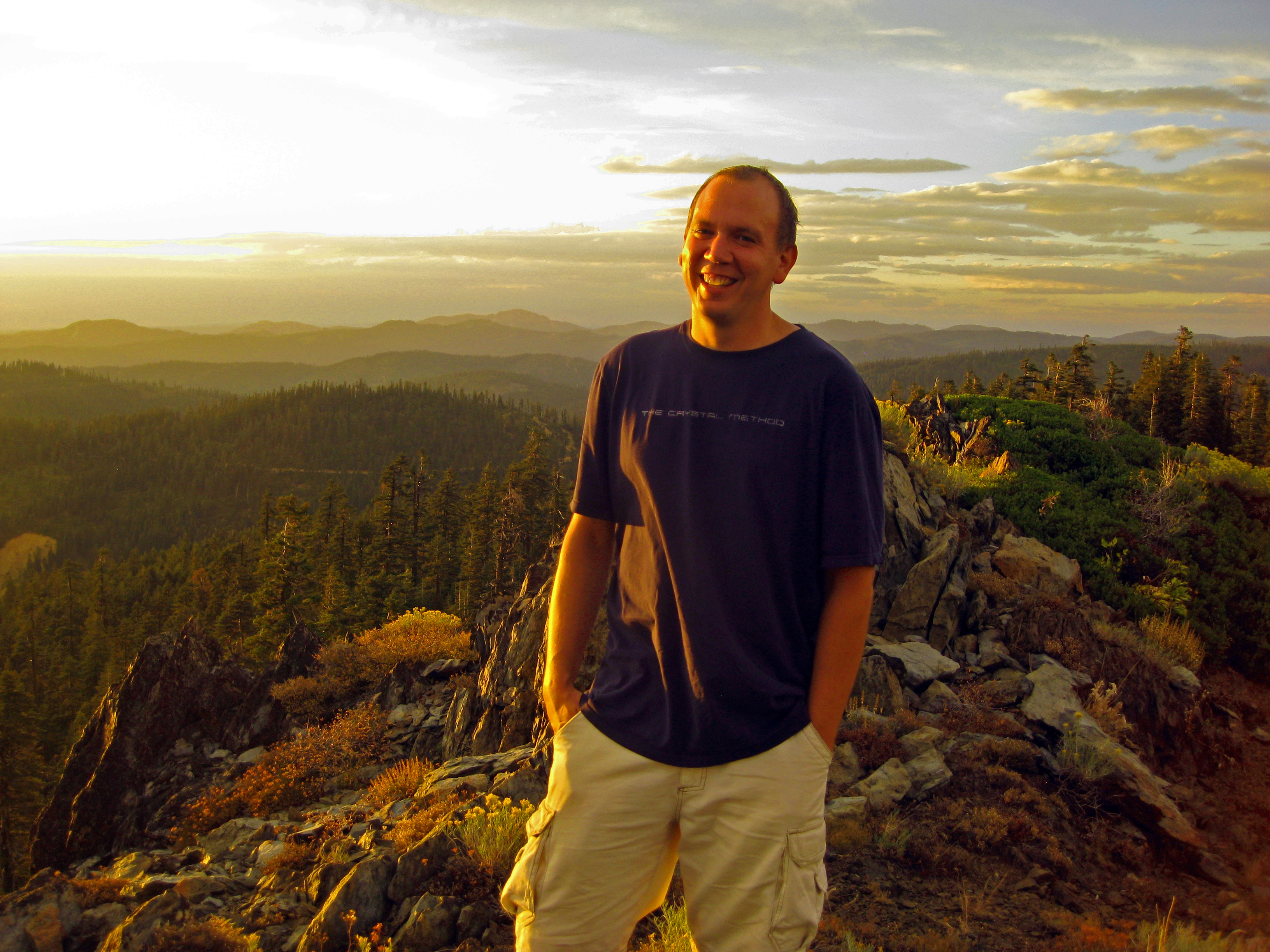
Sunset high on the Sierra Buttes
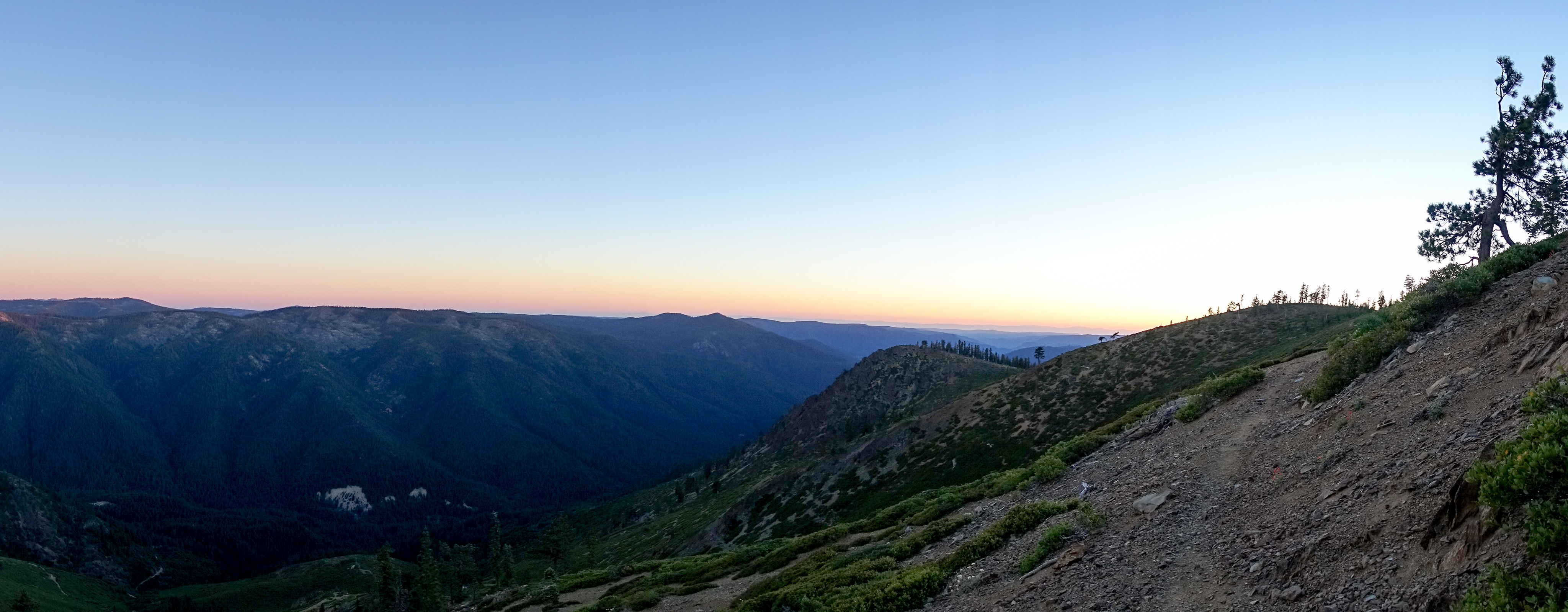
Sunrise Trail
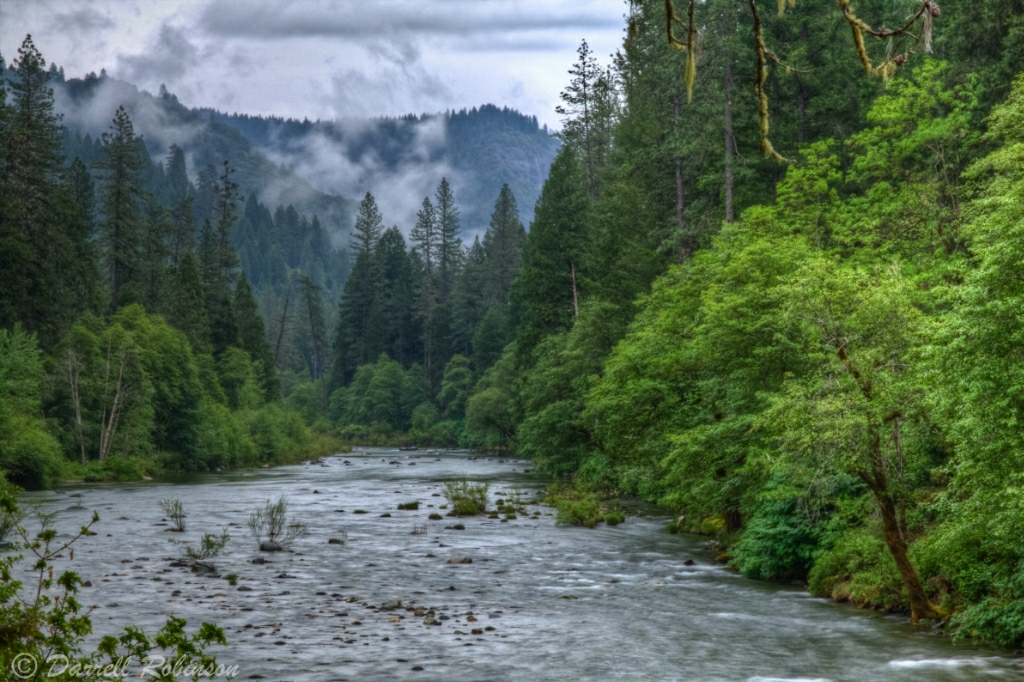
Peaceful River
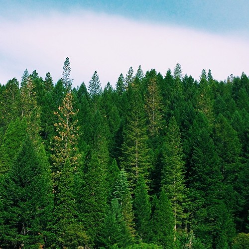
Morning view; one of my most favorite places to wake up at. #california #traveling #goldcountry #sierras #mountains #trees #roadtrip -#adventureyear2014
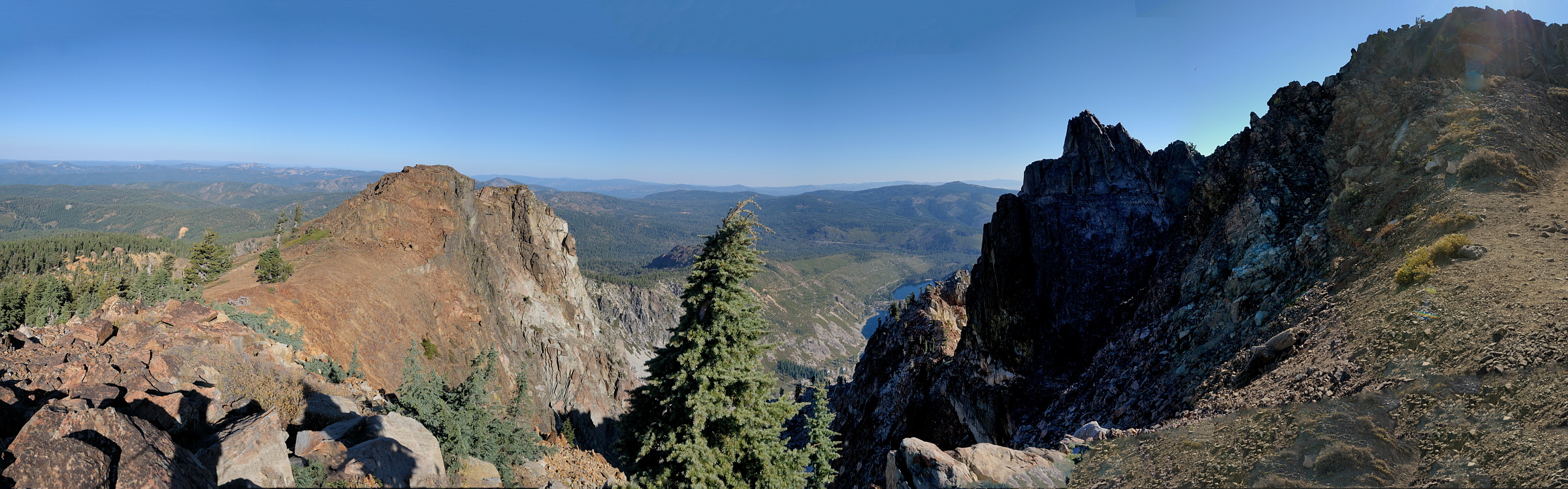
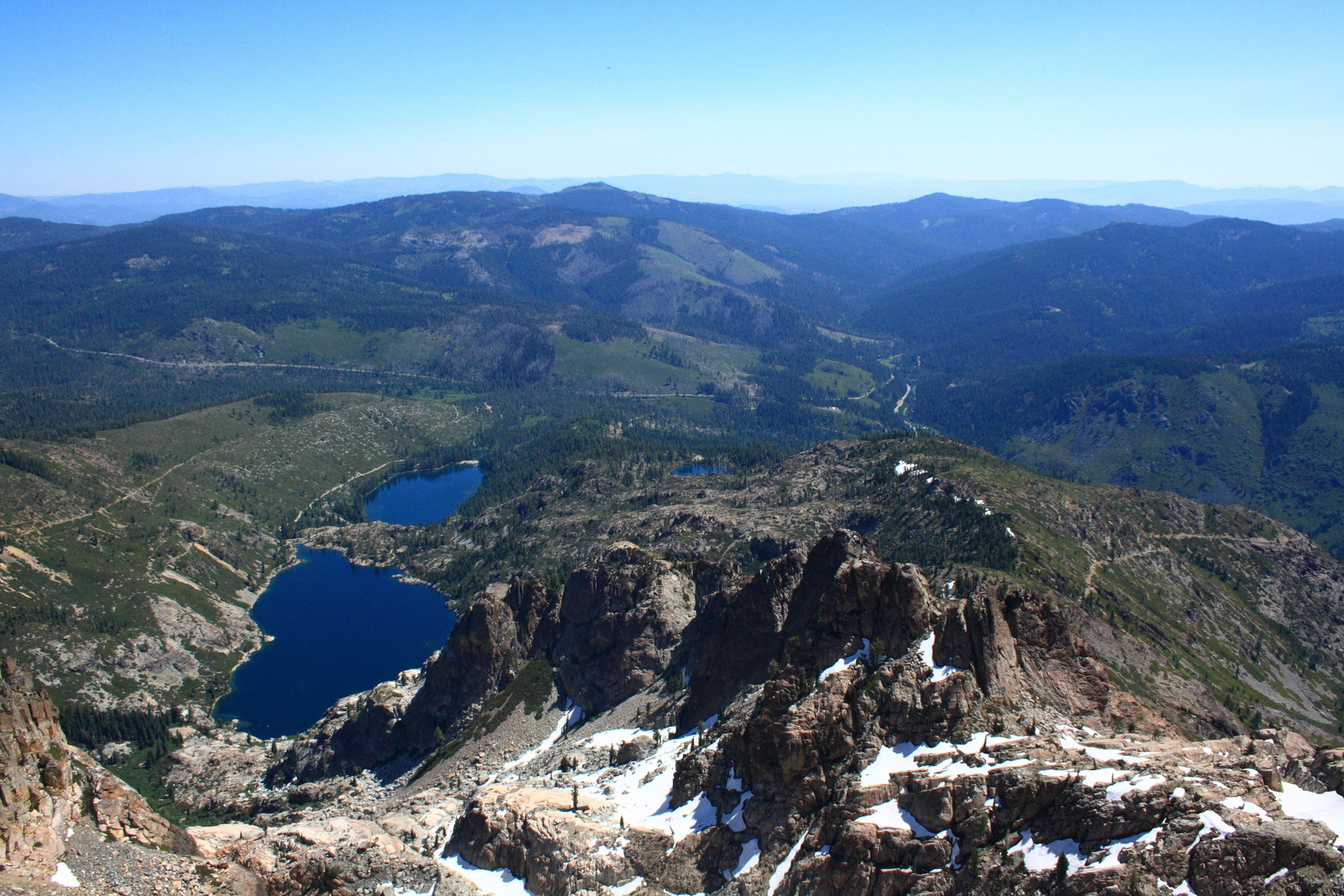
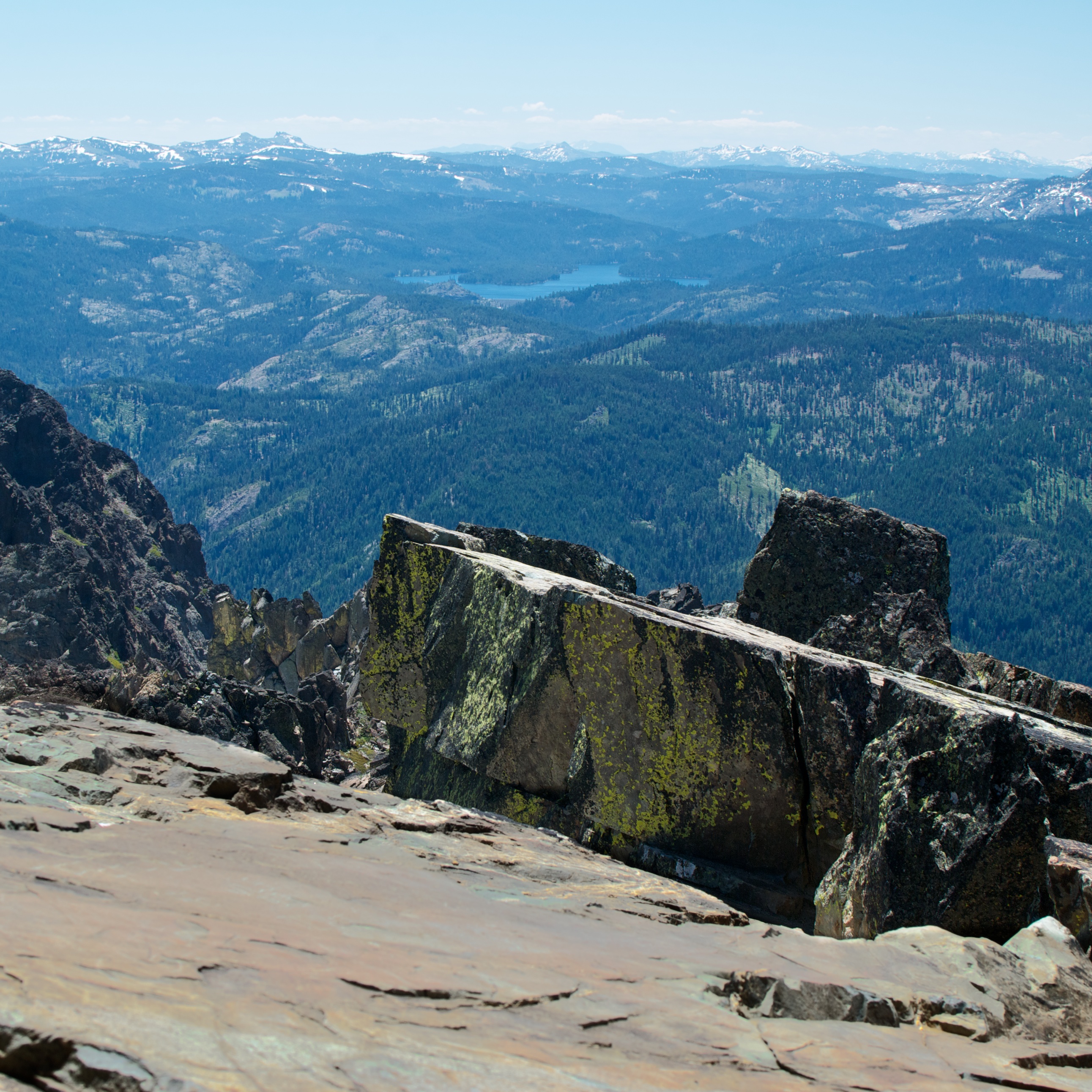
View west from top of Sierra Buttes in Tahoe NF pano1 10-2-12
View north from lookout station at top of Sierra Buttes in Tahoe NF-01 10-2-12
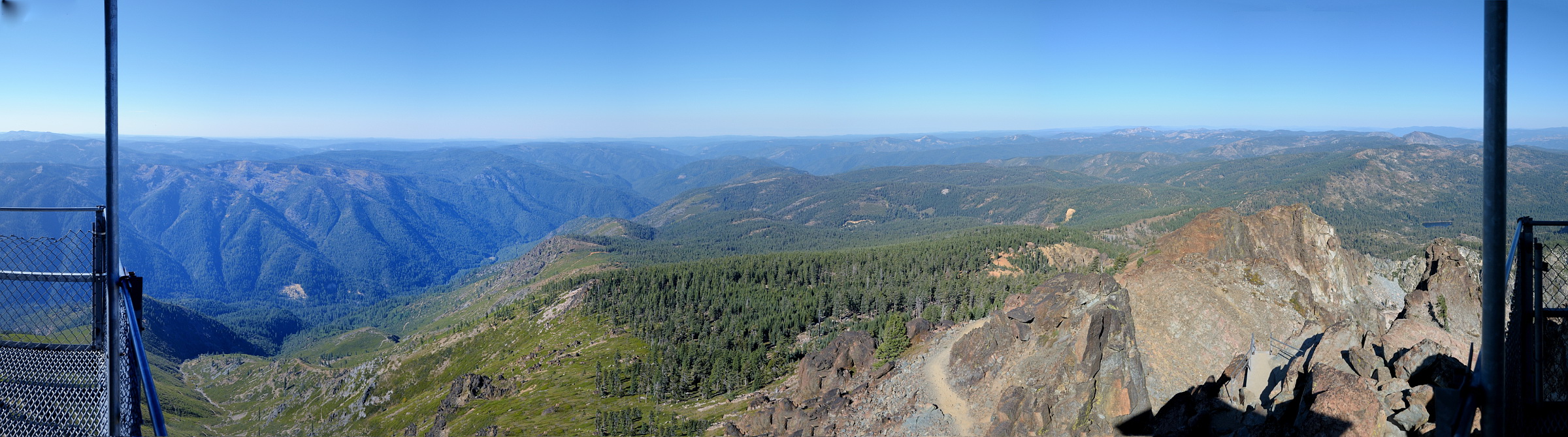
View west from lookout station at top of Sierra Buttes in Tahoe NF pano1 10-2-12
View north from Sierra Buttes in Tahoe NF-01 10-2-12
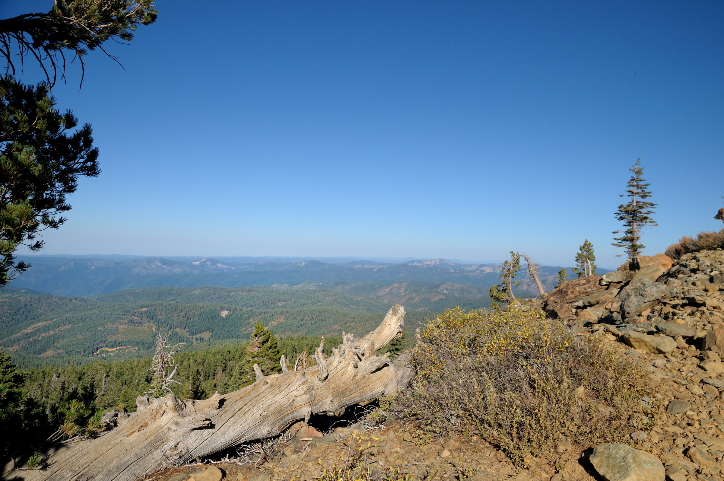
Looking East from the Sierra Buttes
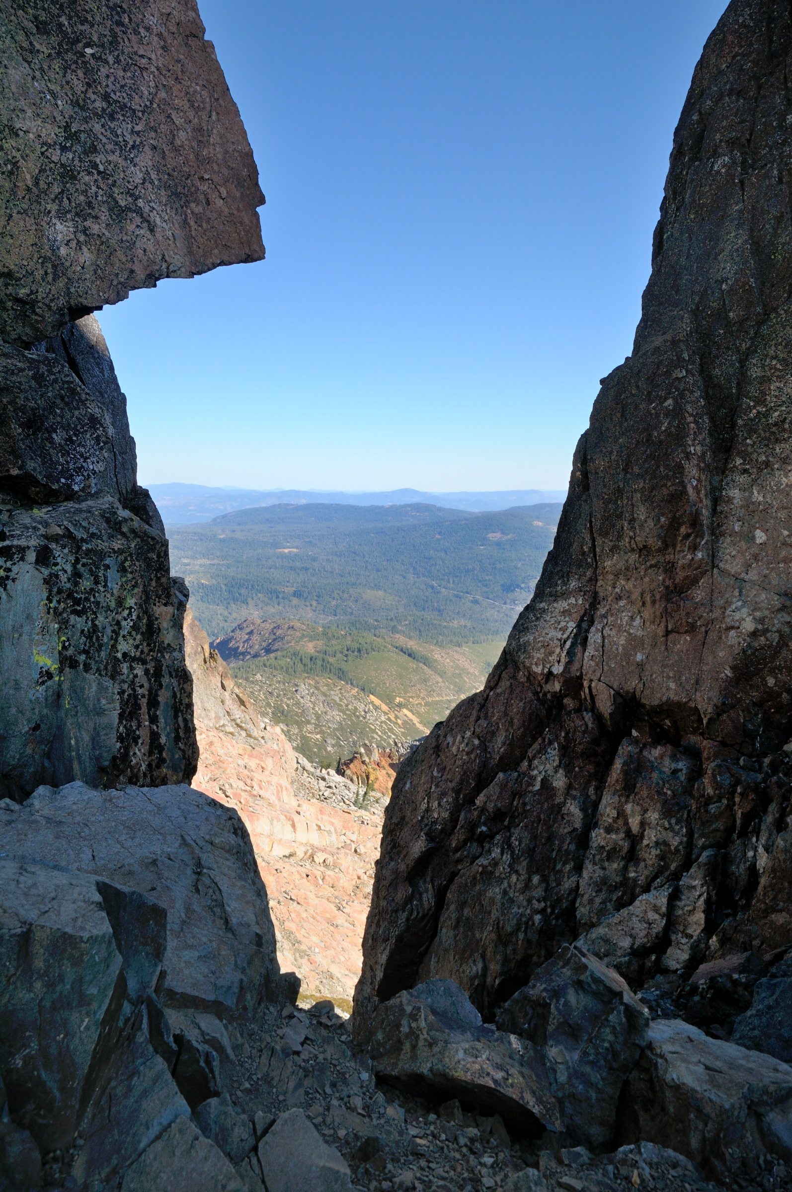
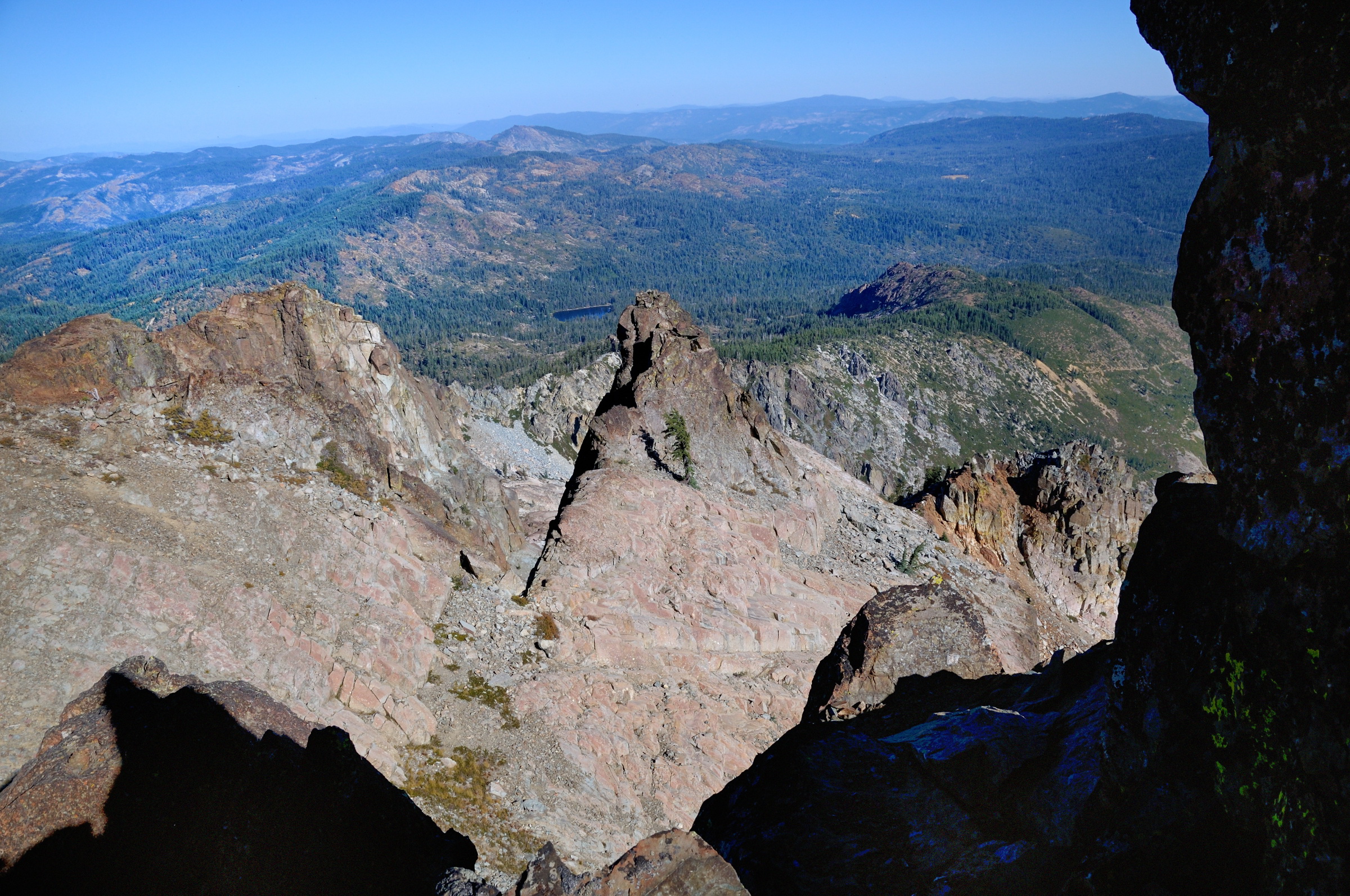
View through rock notch at top of Sierra Buttes in Tahoe NF-01 10-2-12
View north from top of Sierra Buttes in Tahoe NF pano1 10-2-12
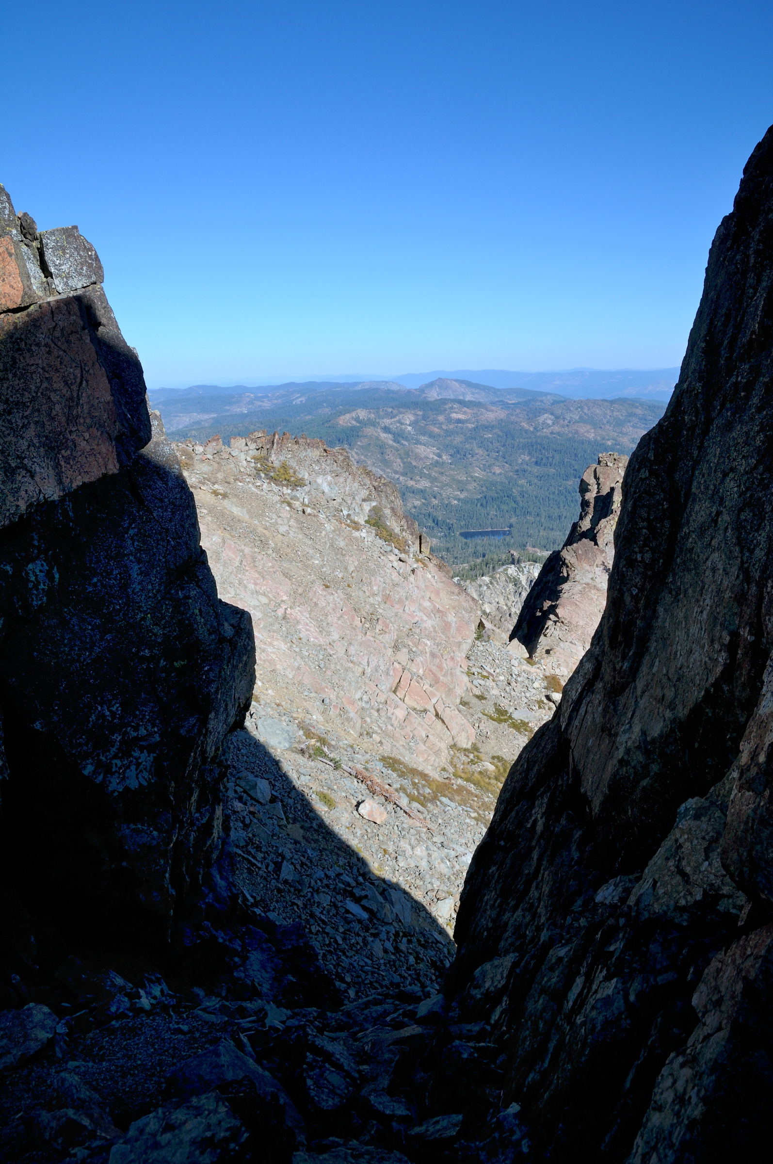
View through rock notch at top of Sierra Buttes in Tahoe NF-03 10-2-12

PCTCA_M1S-20080705-144640

PCTCA_M1S-20080705-134410
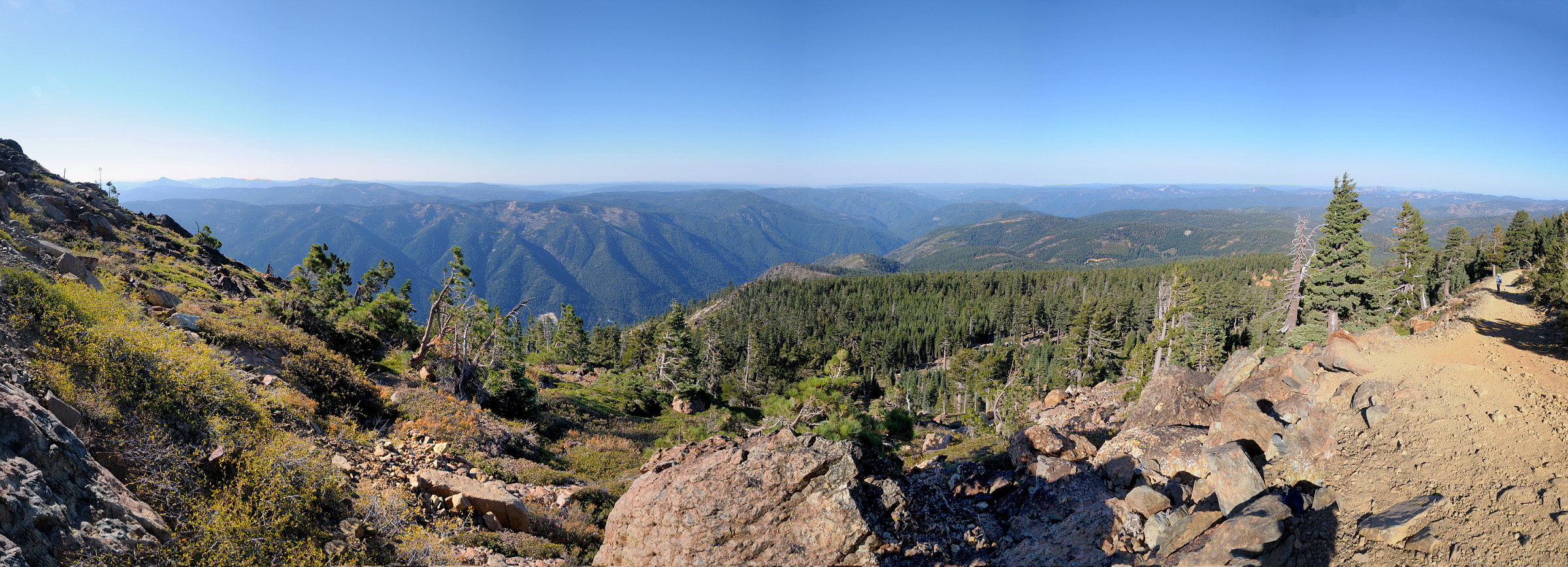
a view

PCTCA_M1S-20080705-144624

PCTCA_M1S-20080705-130126

PCTCA_M1S-20080705-144014

PCTCA_M1S-20080705-144540

PCTCA_M1S-20080705-132032
Downieville, Kalifornien, USA Karte
Suchen Sie einen anderen Ort
Nahe Plätze
Pearl St, Alleghany, CA, USA
Goodyear Creek Road, Goodyear Creek Rd, California, USA
Pebble St, Alleghany, CA, USA
Goodyears Bar, Kalifornien, USA
14 Tin Can Alley, Alleghany, CA, USA
Main St, Alleghany, CA, USA
Alleghany, CA, USA
20 Bee Ranch Rd, Sierra City, CA, USA
Graniteville Rd, Nevada City, CA, USA
Garigue Way, Nevada City, CA, USA
15 Loganville Ln, Sierra City, CA, USA
Gaston Rd, Nevada City, CA, USA
McRae Ridge, California, USA
Meadow Lake Rd, Nevada City, CA, USA
Sierra Buttes North, California, USA
Hoosier Rd, Nevada City, CA, USA
Sierra Buttes Road, Sierra Buttes Rd, Sierra City, CA, USA
Sierra Stadt, Kalifornien, USA
Upper Sardine Lake, California, USA
Mount Elwell, Mt Elwell, California, USA
Letzte Suche
- Red Dog Mine, AK, USA Sonnenaufgang Sonnenuntergang Zeiten
- Am Bahnhof, Am bhf, Borken, Germany Sonnenaufgang Sonnenuntergang Zeiten
- 4th St E, Sonoma, CA, USA Sonnenaufgang Sonnenuntergang Zeiten
- Oakland Ave, Williamsport, PA, USA Sonnenaufgang Sonnenuntergang Zeiten
- Via Roma, Pieranica CR, Italien Sonnenaufgang Sonnenuntergang Zeiten
- Glockenturm, Grad, Dubrovnik, Kroatien Sonnenaufgang Sonnenuntergang Zeiten
- Trelew, Chubut Province, Argentina Sonnenaufgang Sonnenuntergang Zeiten
- Hartfords Bluff Cir, Mt Pleasant, SC, USA Sonnenaufgang Sonnenuntergang Zeiten
- Kita-ku, Kumamoto, Präfektur Kumamoto, Japan Sonnenaufgang Sonnenuntergang Zeiten
- Pingtan Island, Pingtan County, Fuzhou, China Sonnenaufgang Sonnenuntergang Zeiten