Doolittle Lane, Doolittle Ln, California, USA Sonnenaufgang Sonnenuntergang Zeiten
Location: USA > Kalifornien > Alpine County > Pioneer >
Zeitzone:
America/Los_Angeles
Ortszeit:
2025-06-22 23:59:14
Länge:
-120.5448009
Breite:
38.4479521
Sonnenaufgang Heute:
05:39:09 AM
Sonnenuntergang Heute:
08:30:02 PM
Tageslänge heute:
14h 50m 53s
Sonnenaufgang morgen:
05:39:28 AM
Sonnenuntergang Morgen:
08:30:09 PM
Tageslänge von morgen:
14h 50m 41s
Alle Termine anzeigen
| Datum | Sonnenaufgang | Sonnenuntergang | Tageslänge |
|---|---|---|---|
| 2025-01-01 | 07:19:34 AM | 04:53:14 PM | 9h 33m 40s |
| 2025-01-02 | 07:19:38 AM | 04:54:05 PM | 9h 34m 27s |
| 2025-01-03 | 07:19:41 AM | 04:54:57 PM | 9h 35m 16s |
| 2025-01-04 | 07:19:41 AM | 04:55:50 PM | 9h 36m 9s |
| 2025-01-05 | 07:19:39 AM | 04:56:45 PM | 9h 37m 6s |
| 2025-01-06 | 07:19:35 AM | 04:57:40 PM | 9h 38m 5s |
| 2025-01-07 | 07:19:28 AM | 04:58:37 PM | 9h 39m 9s |
| 2025-01-08 | 07:19:20 AM | 04:59:35 PM | 9h 40m 15s |
| 2025-01-09 | 07:19:10 AM | 05:00:34 PM | 9h 41m 24s |
| 2025-01-10 | 07:18:57 AM | 05:01:34 PM | 9h 42m 37s |
| 2025-01-11 | 07:18:42 AM | 05:02:34 PM | 9h 43m 52s |
| 2025-01-12 | 07:18:26 AM | 05:03:36 PM | 9h 45m 10s |
| 2025-01-13 | 07:18:07 AM | 05:04:38 PM | 9h 46m 31s |
| 2025-01-14 | 07:17:46 AM | 05:05:41 PM | 9h 47m 55s |
| 2025-01-15 | 07:17:23 AM | 05:06:45 PM | 9h 49m 22s |
| 2025-01-16 | 07:16:58 AM | 05:07:49 PM | 9h 50m 51s |
| 2025-01-17 | 07:16:31 AM | 05:08:54 PM | 9h 52m 23s |
| 2025-01-18 | 07:16:02 AM | 05:09:59 PM | 9h 53m 57s |
| 2025-01-19 | 07:15:31 AM | 05:11:05 PM | 9h 55m 34s |
| 2025-01-20 | 07:14:58 AM | 05:12:12 PM | 9h 57m 14s |
| 2025-01-21 | 07:14:23 AM | 05:13:18 PM | 9h 58m 55s |
| 2025-01-22 | 07:13:47 AM | 05:14:25 PM | 10h 0m 38s |
| 2025-01-23 | 07:13:08 AM | 05:15:33 PM | 10h 2m 25s |
| 2025-01-24 | 07:12:28 AM | 05:16:41 PM | 10h 4m 13s |
| 2025-01-25 | 07:11:45 AM | 05:17:49 PM | 10h 6m 4s |
| 2025-01-26 | 07:11:01 AM | 05:18:57 PM | 10h 7m 56s |
| 2025-01-27 | 07:10:15 AM | 05:20:05 PM | 10h 9m 50s |
| 2025-01-28 | 07:09:28 AM | 05:21:13 PM | 10h 11m 45s |
| 2025-01-29 | 07:08:38 AM | 05:22:22 PM | 10h 13m 44s |
| 2025-01-30 | 07:07:47 AM | 05:23:30 PM | 10h 15m 43s |
| 2025-01-31 | 07:06:55 AM | 05:24:39 PM | 10h 17m 44s |
| 2025-02-01 | 07:06:00 AM | 05:25:47 PM | 10h 19m 47s |
| 2025-02-02 | 07:05:04 AM | 05:26:56 PM | 10h 21m 52s |
| 2025-02-03 | 07:04:07 AM | 05:28:04 PM | 10h 23m 57s |
| 2025-02-04 | 07:03:08 AM | 05:29:13 PM | 10h 26m 5s |
| 2025-02-05 | 07:02:08 AM | 05:30:21 PM | 10h 28m 13s |
| 2025-02-06 | 07:01:06 AM | 05:31:29 PM | 10h 30m 23s |
| 2025-02-07 | 07:00:02 AM | 05:32:37 PM | 10h 32m 35s |
| 2025-02-08 | 06:58:58 AM | 05:33:45 PM | 10h 34m 47s |
| 2025-02-09 | 06:57:52 AM | 05:34:52 PM | 10h 37m 0s |
| 2025-02-10 | 06:56:44 AM | 05:36:00 PM | 10h 39m 16s |
| 2025-02-11 | 06:55:35 AM | 05:37:07 PM | 10h 41m 32s |
| 2025-02-12 | 06:54:26 AM | 05:38:14 PM | 10h 43m 48s |
| 2025-02-13 | 06:53:14 AM | 05:39:20 PM | 10h 46m 6s |
| 2025-02-14 | 06:52:02 AM | 05:40:27 PM | 10h 48m 25s |
| 2025-02-15 | 06:50:49 AM | 05:41:33 PM | 10h 50m 44s |
| 2025-02-16 | 06:49:34 AM | 05:42:39 PM | 10h 53m 5s |
| 2025-02-17 | 06:48:18 AM | 05:43:44 PM | 10h 55m 26s |
| 2025-02-18 | 06:47:01 AM | 05:44:49 PM | 10h 57m 48s |
| 2025-02-19 | 06:45:44 AM | 05:45:54 PM | 11h 0m 10s |
| 2025-02-20 | 06:44:25 AM | 05:46:59 PM | 11h 2m 34s |
| 2025-02-21 | 06:43:05 AM | 05:48:03 PM | 11h 4m 58s |
| 2025-02-22 | 06:41:45 AM | 05:49:07 PM | 11h 7m 22s |
| 2025-02-23 | 06:40:23 AM | 05:50:11 PM | 11h 9m 48s |
| 2025-02-24 | 06:39:01 AM | 05:51:14 PM | 11h 12m 13s |
| 2025-02-25 | 06:37:38 AM | 05:52:17 PM | 11h 14m 39s |
| 2025-02-26 | 06:36:14 AM | 05:53:20 PM | 11h 17m 6s |
| 2025-02-27 | 06:34:49 AM | 05:54:22 PM | 11h 19m 33s |
| 2025-02-28 | 06:33:23 AM | 05:55:24 PM | 11h 22m 1s |
| 2025-03-01 | 06:31:57 AM | 05:56:26 PM | 11h 24m 29s |
| 2025-03-02 | 06:30:31 AM | 05:57:28 PM | 11h 26m 57s |
| 2025-03-03 | 06:29:03 AM | 05:58:29 PM | 11h 29m 26s |
| 2025-03-04 | 06:27:35 AM | 05:59:30 PM | 11h 31m 55s |
| 2025-03-05 | 06:26:07 AM | 06:00:30 PM | 11h 34m 23s |
| 2025-03-06 | 06:24:38 AM | 06:01:31 PM | 11h 36m 53s |
| 2025-03-07 | 06:23:08 AM | 06:02:31 PM | 11h 39m 23s |
| 2025-03-08 | 06:21:38 AM | 06:03:31 PM | 11h 41m 53s |
| 2025-03-09 | 07:20:11 AM | 07:04:28 PM | 11h 44m 17s |
| 2025-03-10 | 07:18:41 AM | 07:05:27 PM | 11h 46m 46s |
| 2025-03-11 | 07:17:09 AM | 07:06:26 PM | 11h 49m 17s |
| 2025-03-12 | 07:15:38 AM | 07:07:25 PM | 11h 51m 47s |
| 2025-03-13 | 07:14:06 AM | 07:08:24 PM | 11h 54m 18s |
| 2025-03-14 | 07:12:34 AM | 07:09:22 PM | 11h 56m 48s |
| 2025-03-15 | 07:11:02 AM | 07:10:20 PM | 11h 59m 18s |
| 2025-03-16 | 07:09:29 AM | 07:11:18 PM | 12h 1m 49s |
| 2025-03-17 | 07:07:56 AM | 07:12:16 PM | 12h 4m 20s |
| 2025-03-18 | 07:06:24 AM | 07:13:14 PM | 12h 6m 50s |
| 2025-03-19 | 07:04:51 AM | 07:14:12 PM | 12h 9m 21s |
| 2025-03-20 | 07:03:17 AM | 07:15:09 PM | 12h 11m 52s |
| 2025-03-21 | 07:01:44 AM | 07:16:06 PM | 12h 14m 22s |
| 2025-03-22 | 07:00:11 AM | 07:17:04 PM | 12h 16m 53s |
| 2025-03-23 | 06:58:38 AM | 07:18:01 PM | 12h 19m 23s |
| 2025-03-24 | 06:57:05 AM | 07:18:58 PM | 12h 21m 53s |
| 2025-03-25 | 06:55:32 AM | 07:19:55 PM | 12h 24m 23s |
| 2025-03-26 | 06:53:58 AM | 07:20:51 PM | 12h 26m 53s |
| 2025-03-27 | 06:52:26 AM | 07:21:48 PM | 12h 29m 22s |
| 2025-03-28 | 06:50:53 AM | 07:22:45 PM | 12h 31m 52s |
| 2025-03-29 | 06:49:20 AM | 07:23:41 PM | 12h 34m 21s |
| 2025-03-30 | 06:47:48 AM | 07:24:38 PM | 12h 36m 50s |
| 2025-03-31 | 06:46:16 AM | 07:25:35 PM | 12h 39m 19s |
| 2025-04-01 | 06:44:44 AM | 07:26:31 PM | 12h 41m 47s |
| 2025-04-02 | 06:43:12 AM | 07:27:28 PM | 12h 44m 16s |
| 2025-04-03 | 06:41:41 AM | 07:28:24 PM | 12h 46m 43s |
| 2025-04-04 | 06:40:10 AM | 07:29:21 PM | 12h 49m 11s |
| 2025-04-05 | 06:38:40 AM | 07:30:17 PM | 12h 51m 37s |
| 2025-04-06 | 06:37:09 AM | 07:31:14 PM | 12h 54m 5s |
| 2025-04-07 | 06:35:40 AM | 07:32:10 PM | 12h 56m 30s |
| 2025-04-08 | 06:34:11 AM | 07:33:07 PM | 12h 58m 56s |
| 2025-04-09 | 06:32:42 AM | 07:34:03 PM | 13h 1m 21s |
| 2025-04-10 | 06:31:14 AM | 07:35:00 PM | 13h 3m 46s |
| 2025-04-11 | 06:29:46 AM | 07:35:57 PM | 13h 6m 11s |
| 2025-04-12 | 06:28:19 AM | 07:36:53 PM | 13h 8m 34s |
| 2025-04-13 | 06:26:53 AM | 07:37:50 PM | 13h 10m 57s |
| 2025-04-14 | 06:25:27 AM | 07:38:47 PM | 13h 13m 20s |
| 2025-04-15 | 06:24:02 AM | 07:39:44 PM | 13h 15m 42s |
| 2025-04-16 | 06:22:38 AM | 07:40:40 PM | 13h 18m 2s |
| 2025-04-17 | 06:21:15 AM | 07:41:37 PM | 13h 20m 22s |
| 2025-04-18 | 06:19:52 AM | 07:42:34 PM | 13h 22m 42s |
| 2025-04-19 | 06:18:30 AM | 07:43:31 PM | 13h 25m 1s |
| 2025-04-20 | 06:17:09 AM | 07:44:28 PM | 13h 27m 19s |
| 2025-04-21 | 06:15:49 AM | 07:45:25 PM | 13h 29m 36s |
| 2025-04-22 | 06:14:29 AM | 07:46:22 PM | 13h 31m 53s |
| 2025-04-23 | 06:13:11 AM | 07:47:19 PM | 13h 34m 8s |
| 2025-04-24 | 06:11:54 AM | 07:48:16 PM | 13h 36m 22s |
| 2025-04-25 | 06:10:37 AM | 07:49:13 PM | 13h 38m 36s |
| 2025-04-26 | 06:09:22 AM | 07:50:10 PM | 13h 40m 48s |
| 2025-04-27 | 06:08:07 AM | 07:51:07 PM | 13h 43m 0s |
| 2025-04-28 | 06:06:54 AM | 07:52:03 PM | 13h 45m 9s |
| 2025-04-29 | 06:05:42 AM | 07:53:00 PM | 13h 47m 18s |
| 2025-04-30 | 06:04:31 AM | 07:53:57 PM | 13h 49m 26s |
| 2025-05-01 | 06:03:21 AM | 07:54:53 PM | 13h 51m 32s |
| 2025-05-02 | 06:02:12 AM | 07:55:50 PM | 13h 53m 38s |
| 2025-05-03 | 06:01:05 AM | 07:56:46 PM | 13h 55m 41s |
| 2025-05-04 | 05:59:59 AM | 07:57:43 PM | 13h 57m 44s |
| 2025-05-05 | 05:58:54 AM | 07:58:39 PM | 13h 59m 45s |
| 2025-05-06 | 05:57:51 AM | 07:59:35 PM | 14h 1m 44s |
| 2025-05-07 | 05:56:48 AM | 08:00:30 PM | 14h 3m 42s |
| 2025-05-08 | 05:55:48 AM | 08:01:26 PM | 14h 5m 38s |
| 2025-05-09 | 05:54:48 AM | 08:02:21 PM | 14h 7m 33s |
| 2025-05-10 | 05:53:50 AM | 08:03:16 PM | 14h 9m 26s |
| 2025-05-11 | 05:52:54 AM | 08:04:10 PM | 14h 11m 16s |
| 2025-05-12 | 05:51:59 AM | 08:05:05 PM | 14h 13m 6s |
| 2025-05-13 | 05:51:05 AM | 08:05:58 PM | 14h 14m 53s |
| 2025-05-14 | 05:50:13 AM | 08:06:52 PM | 14h 16m 39s |
| 2025-05-15 | 05:49:23 AM | 08:07:45 PM | 14h 18m 22s |
| 2025-05-16 | 05:48:34 AM | 08:08:37 PM | 14h 20m 3s |
| 2025-05-17 | 05:47:47 AM | 08:09:30 PM | 14h 21m 43s |
| 2025-05-18 | 05:47:01 AM | 08:10:21 PM | 14h 23m 20s |
| 2025-05-19 | 05:46:17 AM | 08:11:12 PM | 14h 24m 55s |
| 2025-05-20 | 05:45:35 AM | 08:12:02 PM | 14h 26m 27s |
| 2025-05-21 | 05:44:54 AM | 08:12:52 PM | 14h 27m 58s |
| 2025-05-22 | 05:44:15 AM | 08:13:41 PM | 14h 29m 26s |
| 2025-05-23 | 05:43:38 AM | 08:14:30 PM | 14h 30m 52s |
| 2025-05-24 | 05:43:03 AM | 08:15:17 PM | 14h 32m 14s |
| 2025-05-25 | 05:42:29 AM | 08:16:04 PM | 14h 33m 35s |
| 2025-05-26 | 05:41:57 AM | 08:16:50 PM | 14h 34m 53s |
| 2025-05-27 | 05:41:27 AM | 08:17:35 PM | 14h 36m 8s |
| 2025-05-28 | 05:40:59 AM | 08:18:19 PM | 14h 37m 20s |
| 2025-05-29 | 05:40:32 AM | 08:19:03 PM | 14h 38m 31s |
| 2025-05-30 | 05:40:08 AM | 08:19:45 PM | 14h 39m 37s |
| 2025-05-31 | 05:39:45 AM | 08:20:26 PM | 14h 40m 41s |
| 2025-06-01 | 05:39:24 AM | 08:21:06 PM | 14h 41m 42s |
| 2025-06-02 | 05:39:05 AM | 08:21:46 PM | 14h 42m 41s |
| 2025-06-03 | 05:38:47 AM | 08:22:23 PM | 14h 43m 36s |
| 2025-06-04 | 05:38:32 AM | 08:23:00 PM | 14h 44m 28s |
| 2025-06-05 | 05:38:18 AM | 08:23:36 PM | 14h 45m 18s |
| 2025-06-06 | 05:38:07 AM | 08:24:10 PM | 14h 46m 3s |
| 2025-06-07 | 05:37:57 AM | 08:24:43 PM | 14h 46m 46s |
| 2025-06-08 | 05:37:49 AM | 08:25:15 PM | 14h 47m 26s |
| 2025-06-09 | 05:37:42 AM | 08:25:45 PM | 14h 48m 3s |
| 2025-06-10 | 05:37:38 AM | 08:26:14 PM | 14h 48m 36s |
| 2025-06-11 | 05:37:35 AM | 08:26:41 PM | 14h 49m 6s |
| 2025-06-12 | 05:37:34 AM | 08:27:07 PM | 14h 49m 33s |
| 2025-06-13 | 05:37:35 AM | 08:27:32 PM | 14h 49m 57s |
| 2025-06-14 | 05:37:38 AM | 08:27:55 PM | 14h 50m 17s |
| 2025-06-15 | 05:37:43 AM | 08:28:16 PM | 14h 50m 33s |
| 2025-06-16 | 05:37:49 AM | 08:28:36 PM | 14h 50m 47s |
| 2025-06-17 | 05:37:57 AM | 08:28:54 PM | 14h 50m 57s |
| 2025-06-18 | 05:38:07 AM | 08:29:10 PM | 14h 51m 3s |
| 2025-06-19 | 05:38:18 AM | 08:29:25 PM | 14h 51m 7s |
| 2025-06-20 | 05:38:31 AM | 08:29:38 PM | 14h 51m 7s |
| 2025-06-21 | 05:38:46 AM | 08:29:49 PM | 14h 51m 3s |
| 2025-06-22 | 05:39:03 AM | 08:29:59 PM | 14h 50m 56s |
| 2025-06-23 | 05:39:20 AM | 08:30:06 PM | 14h 50m 46s |
| 2025-06-24 | 05:39:40 AM | 08:30:12 PM | 14h 50m 32s |
| 2025-06-25 | 05:40:01 AM | 08:30:17 PM | 14h 50m 16s |
| 2025-06-26 | 05:40:24 AM | 08:30:19 PM | 14h 49m 55s |
| 2025-06-27 | 05:40:48 AM | 08:30:19 PM | 14h 49m 31s |
| 2025-06-28 | 05:41:13 AM | 08:30:18 PM | 14h 49m 5s |
| 2025-06-29 | 05:41:40 AM | 08:30:15 PM | 14h 48m 35s |
| 2025-06-30 | 05:42:08 AM | 08:30:10 PM | 14h 48m 2s |
| 2025-07-01 | 05:42:38 AM | 08:30:03 PM | 14h 47m 25s |
| 2025-07-02 | 05:43:09 AM | 08:29:54 PM | 14h 46m 45s |
| 2025-07-03 | 05:43:41 AM | 08:29:43 PM | 14h 46m 2s |
| 2025-07-04 | 05:44:14 AM | 08:29:30 PM | 14h 45m 16s |
| 2025-07-05 | 05:44:49 AM | 08:29:16 PM | 14h 44m 27s |
| 2025-07-06 | 05:45:24 AM | 08:28:59 PM | 14h 43m 35s |
| 2025-07-07 | 05:46:01 AM | 08:28:41 PM | 14h 42m 40s |
| 2025-07-08 | 05:46:39 AM | 08:28:21 PM | 14h 41m 42s |
| 2025-07-09 | 05:47:18 AM | 08:27:59 PM | 14h 40m 41s |
| 2025-07-10 | 05:47:58 AM | 08:27:35 PM | 14h 39m 37s |
| 2025-07-11 | 05:48:39 AM | 08:27:09 PM | 14h 38m 30s |
| 2025-07-12 | 05:49:20 AM | 08:26:41 PM | 14h 37m 21s |
| 2025-07-13 | 05:50:03 AM | 08:26:12 PM | 14h 36m 9s |
| 2025-07-14 | 05:50:46 AM | 08:25:41 PM | 14h 34m 55s |
| 2025-07-15 | 05:51:30 AM | 08:25:08 PM | 14h 33m 38s |
| 2025-07-16 | 05:52:15 AM | 08:24:33 PM | 14h 32m 18s |
| 2025-07-17 | 05:53:01 AM | 08:23:56 PM | 14h 30m 55s |
| 2025-07-18 | 05:53:47 AM | 08:23:17 PM | 14h 29m 30s |
| 2025-07-19 | 05:54:34 AM | 08:22:37 PM | 14h 28m 3s |
| 2025-07-20 | 05:55:22 AM | 08:21:55 PM | 14h 26m 33s |
| 2025-07-21 | 05:56:10 AM | 08:21:12 PM | 14h 25m 2s |
| 2025-07-22 | 05:56:59 AM | 08:20:26 PM | 14h 23m 27s |
| 2025-07-23 | 05:57:48 AM | 08:19:39 PM | 14h 21m 51s |
| 2025-07-24 | 05:58:37 AM | 08:18:51 PM | 14h 20m 14s |
| 2025-07-25 | 05:59:28 AM | 08:18:00 PM | 14h 18m 32s |
| 2025-07-26 | 06:00:18 AM | 08:17:08 PM | 14h 16m 50s |
| 2025-07-27 | 06:01:09 AM | 08:16:15 PM | 14h 15m 6s |
| 2025-07-28 | 06:02:00 AM | 08:15:20 PM | 14h 13m 20s |
| 2025-07-29 | 06:02:51 AM | 08:14:23 PM | 14h 11m 32s |
| 2025-07-30 | 06:03:43 AM | 08:13:25 PM | 14h 9m 42s |
| 2025-07-31 | 06:04:35 AM | 08:12:26 PM | 14h 7m 51s |
| 2025-08-01 | 06:05:27 AM | 08:11:25 PM | 14h 5m 58s |
| 2025-08-02 | 06:06:20 AM | 08:10:23 PM | 14h 4m 3s |
| 2025-08-03 | 06:07:12 AM | 08:09:19 PM | 14h 2m 7s |
| 2025-08-04 | 06:08:05 AM | 08:08:14 PM | 14h 0m 9s |
| 2025-08-05 | 06:08:58 AM | 08:07:07 PM | 13h 58m 9s |
| 2025-08-06 | 06:09:51 AM | 08:06:00 PM | 13h 56m 9s |
| 2025-08-07 | 06:10:44 AM | 08:04:51 PM | 13h 54m 7s |
| 2025-08-08 | 06:11:37 AM | 08:03:40 PM | 13h 52m 3s |
| 2025-08-09 | 06:12:30 AM | 08:02:29 PM | 13h 49m 59s |
| 2025-08-10 | 06:13:24 AM | 08:01:16 PM | 13h 47m 52s |
| 2025-08-11 | 06:14:17 AM | 08:00:03 PM | 13h 45m 46s |
| 2025-08-12 | 06:15:10 AM | 07:58:48 PM | 13h 43m 38s |
| 2025-08-13 | 06:16:04 AM | 07:57:32 PM | 13h 41m 28s |
| 2025-08-14 | 06:16:57 AM | 07:56:15 PM | 13h 39m 18s |
| 2025-08-15 | 06:17:50 AM | 07:54:56 PM | 13h 37m 6s |
| 2025-08-16 | 06:18:43 AM | 07:53:37 PM | 13h 34m 54s |
| 2025-08-17 | 06:19:37 AM | 07:52:17 PM | 13h 32m 40s |
| 2025-08-18 | 06:20:30 AM | 07:50:56 PM | 13h 30m 26s |
| 2025-08-19 | 06:21:23 AM | 07:49:34 PM | 13h 28m 11s |
| 2025-08-20 | 06:22:16 AM | 07:48:12 PM | 13h 25m 56s |
| 2025-08-21 | 06:23:09 AM | 07:46:48 PM | 13h 23m 39s |
| 2025-08-22 | 06:24:02 AM | 07:45:23 PM | 13h 21m 21s |
| 2025-08-23 | 06:24:55 AM | 07:43:58 PM | 13h 19m 3s |
| 2025-08-24 | 06:25:48 AM | 07:42:32 PM | 13h 16m 44s |
| 2025-08-25 | 06:26:40 AM | 07:41:05 PM | 13h 14m 25s |
| 2025-08-26 | 06:27:33 AM | 07:39:38 PM | 13h 12m 5s |
| 2025-08-27 | 06:28:26 AM | 07:38:10 PM | 13h 9m 44s |
| 2025-08-28 | 06:29:18 AM | 07:36:41 PM | 13h 7m 23s |
| 2025-08-29 | 06:30:11 AM | 07:35:12 PM | 13h 5m 1s |
| 2025-08-30 | 06:31:03 AM | 07:33:42 PM | 13h 2m 39s |
| 2025-08-31 | 06:31:56 AM | 07:32:11 PM | 13h 0m 15s |
| 2025-09-01 | 06:32:48 AM | 07:30:40 PM | 12h 57m 52s |
| 2025-09-02 | 06:33:40 AM | 07:29:09 PM | 12h 55m 29s |
| 2025-09-03 | 06:34:32 AM | 07:27:37 PM | 12h 53m 5s |
| 2025-09-04 | 06:35:25 AM | 07:26:04 PM | 12h 50m 39s |
| 2025-09-05 | 06:36:17 AM | 07:24:31 PM | 12h 48m 14s |
| 2025-09-06 | 06:37:09 AM | 07:22:58 PM | 12h 45m 49s |
| 2025-09-07 | 06:38:01 AM | 07:21:25 PM | 12h 43m 24s |
| 2025-09-08 | 06:38:53 AM | 07:19:51 PM | 12h 40m 58s |
| 2025-09-09 | 06:39:45 AM | 07:18:17 PM | 12h 38m 32s |
| 2025-09-10 | 06:40:38 AM | 07:16:42 PM | 12h 36m 4s |
| 2025-09-11 | 06:41:30 AM | 07:15:08 PM | 12h 33m 38s |
| 2025-09-12 | 06:42:22 AM | 07:13:33 PM | 12h 31m 11s |
| 2025-09-13 | 06:43:14 AM | 07:11:58 PM | 12h 28m 44s |
| 2025-09-14 | 06:44:06 AM | 07:10:23 PM | 12h 26m 17s |
| 2025-09-15 | 06:44:59 AM | 07:08:47 PM | 12h 23m 48s |
| 2025-09-16 | 06:45:51 AM | 07:07:12 PM | 12h 21m 21s |
| 2025-09-17 | 06:46:44 AM | 07:05:37 PM | 12h 18m 53s |
| 2025-09-18 | 06:47:36 AM | 07:04:01 PM | 12h 16m 25s |
| 2025-09-19 | 06:48:29 AM | 07:02:26 PM | 12h 13m 57s |
| 2025-09-20 | 06:49:22 AM | 07:00:51 PM | 12h 11m 29s |
| 2025-09-21 | 06:50:15 AM | 06:59:15 PM | 12h 9m 0s |
| 2025-09-22 | 06:51:08 AM | 06:57:40 PM | 12h 6m 32s |
| 2025-09-23 | 06:52:01 AM | 06:56:05 PM | 12h 4m 4s |
| 2025-09-24 | 06:52:55 AM | 06:54:30 PM | 12h 1m 35s |
| 2025-09-25 | 06:53:48 AM | 06:52:55 PM | 11h 59m 7s |
| 2025-09-26 | 06:54:42 AM | 06:51:21 PM | 11h 56m 39s |
| 2025-09-27 | 06:55:36 AM | 06:49:47 PM | 11h 54m 11s |
| 2025-09-28 | 06:56:30 AM | 06:48:13 PM | 11h 51m 43s |
| 2025-09-29 | 06:57:24 AM | 06:46:39 PM | 11h 49m 15s |
| 2025-09-30 | 06:58:19 AM | 06:45:05 PM | 11h 46m 46s |
| 2025-10-01 | 06:59:14 AM | 06:43:32 PM | 11h 44m 18s |
| 2025-10-02 | 07:00:09 AM | 06:42:00 PM | 11h 41m 51s |
| 2025-10-03 | 07:01:04 AM | 06:40:28 PM | 11h 39m 24s |
| 2025-10-04 | 07:02:00 AM | 06:38:56 PM | 11h 36m 56s |
| 2025-10-05 | 07:02:56 AM | 06:37:25 PM | 11h 34m 29s |
| 2025-10-06 | 07:03:52 AM | 06:35:54 PM | 11h 32m 2s |
| 2025-10-07 | 07:04:49 AM | 06:34:24 PM | 11h 29m 35s |
| 2025-10-08 | 07:05:45 AM | 06:32:54 PM | 11h 27m 9s |
| 2025-10-09 | 07:06:43 AM | 06:31:25 PM | 11h 24m 42s |
| 2025-10-10 | 07:07:40 AM | 06:29:57 PM | 11h 22m 17s |
| 2025-10-11 | 07:08:38 AM | 06:28:29 PM | 11h 19m 51s |
| 2025-10-12 | 07:09:36 AM | 06:27:02 PM | 11h 17m 26s |
| 2025-10-13 | 07:10:34 AM | 06:25:36 PM | 11h 15m 2s |
| 2025-10-14 | 07:11:33 AM | 06:24:10 PM | 11h 12m 37s |
| 2025-10-15 | 07:12:32 AM | 06:22:46 PM | 11h 10m 14s |
| 2025-10-16 | 07:13:31 AM | 06:21:22 PM | 11h 7m 51s |
| 2025-10-17 | 07:14:31 AM | 06:19:59 PM | 11h 5m 28s |
| 2025-10-18 | 07:15:31 AM | 06:18:37 PM | 11h 3m 6s |
| 2025-10-19 | 07:16:32 AM | 06:17:16 PM | 11h 0m 44s |
| 2025-10-20 | 07:17:32 AM | 06:15:56 PM | 10h 58m 24s |
| 2025-10-21 | 07:18:34 AM | 06:14:36 PM | 10h 56m 2s |
| 2025-10-22 | 07:19:35 AM | 06:13:18 PM | 10h 53m 43s |
| 2025-10-23 | 07:20:37 AM | 06:12:01 PM | 10h 51m 24s |
| 2025-10-24 | 07:21:39 AM | 06:10:45 PM | 10h 49m 6s |
| 2025-10-25 | 07:22:41 AM | 06:09:30 PM | 10h 46m 49s |
| 2025-10-26 | 07:23:44 AM | 06:08:17 PM | 10h 44m 33s |
| 2025-10-27 | 07:24:47 AM | 06:07:04 PM | 10h 42m 17s |
| 2025-10-28 | 07:25:50 AM | 06:05:53 PM | 10h 40m 3s |
| 2025-10-29 | 07:26:54 AM | 06:04:43 PM | 10h 37m 49s |
| 2025-10-30 | 07:27:58 AM | 06:03:35 PM | 10h 35m 37s |
| 2025-10-31 | 07:29:02 AM | 06:02:27 PM | 10h 33m 25s |
| 2025-11-01 | 07:30:06 AM | 06:01:21 PM | 10h 31m 15s |
| 2025-11-02 | 06:31:13 AM | 05:00:14 PM | 10h 29m 1s |
| 2025-11-03 | 06:32:18 AM | 04:59:11 PM | 10h 26m 53s |
| 2025-11-04 | 06:33:23 AM | 04:58:10 PM | 10h 24m 47s |
| 2025-11-05 | 06:34:28 AM | 04:57:10 PM | 10h 22m 42s |
| 2025-11-06 | 06:35:33 AM | 04:56:11 PM | 10h 20m 38s |
| 2025-11-07 | 06:36:39 AM | 04:55:15 PM | 10h 18m 36s |
| 2025-11-08 | 06:37:44 AM | 04:54:19 PM | 10h 16m 35s |
| 2025-11-09 | 06:38:49 AM | 04:53:26 PM | 10h 14m 37s |
| 2025-11-10 | 06:39:55 AM | 04:52:34 PM | 10h 12m 39s |
| 2025-11-11 | 06:41:00 AM | 04:51:43 PM | 10h 10m 43s |
| 2025-11-12 | 06:42:06 AM | 04:50:55 PM | 10h 8m 49s |
| 2025-11-13 | 06:43:11 AM | 04:50:08 PM | 10h 6m 57s |
| 2025-11-14 | 06:44:16 AM | 04:49:23 PM | 10h 5m 7s |
| 2025-11-15 | 06:45:21 AM | 04:48:40 PM | 10h 3m 19s |
| 2025-11-16 | 06:46:26 AM | 04:47:59 PM | 10h 1m 33s |
| 2025-11-17 | 06:47:31 AM | 04:47:19 PM | 9h 59m 48s |
| 2025-11-18 | 06:48:36 AM | 04:46:42 PM | 9h 58m 6s |
| 2025-11-19 | 06:49:40 AM | 04:46:06 PM | 9h 56m 26s |
| 2025-11-20 | 06:50:43 AM | 04:45:33 PM | 9h 54m 50s |
| 2025-11-21 | 06:51:47 AM | 04:45:01 PM | 9h 53m 14s |
| 2025-11-22 | 06:52:50 AM | 04:44:32 PM | 9h 51m 42s |
| 2025-11-23 | 06:53:52 AM | 04:44:04 PM | 9h 50m 12s |
| 2025-11-24 | 06:54:54 AM | 04:43:38 PM | 9h 48m 44s |
| 2025-11-25 | 06:55:56 AM | 04:43:15 PM | 9h 47m 19s |
| 2025-11-26 | 06:56:57 AM | 04:42:54 PM | 9h 45m 57s |
| 2025-11-27 | 06:57:57 AM | 04:42:34 PM | 9h 44m 37s |
| 2025-11-28 | 06:58:56 AM | 04:42:17 PM | 9h 43m 21s |
| 2025-11-29 | 06:59:55 AM | 04:42:02 PM | 9h 42m 7s |
| 2025-11-30 | 07:00:52 AM | 04:41:49 PM | 9h 40m 57s |
| 2025-12-01 | 07:01:49 AM | 04:41:38 PM | 9h 39m 49s |
| 2025-12-02 | 07:02:45 AM | 04:41:30 PM | 9h 38m 45s |
| 2025-12-03 | 07:03:40 AM | 04:41:23 PM | 9h 37m 43s |
| 2025-12-04 | 07:04:34 AM | 04:41:19 PM | 9h 36m 45s |
| 2025-12-05 | 07:05:27 AM | 04:41:17 PM | 9h 35m 50s |
| 2025-12-06 | 07:06:19 AM | 04:41:17 PM | 9h 34m 58s |
| 2025-12-07 | 07:07:09 AM | 04:41:19 PM | 9h 34m 10s |
| 2025-12-08 | 07:07:59 AM | 04:41:23 PM | 9h 33m 24s |
| 2025-12-09 | 07:08:47 AM | 04:41:30 PM | 9h 32m 43s |
| 2025-12-10 | 07:09:33 AM | 04:41:38 PM | 9h 32m 5s |
| 2025-12-11 | 07:10:19 AM | 04:41:49 PM | 9h 31m 30s |
| 2025-12-12 | 07:11:02 AM | 04:42:02 PM | 9h 31m 0s |
| 2025-12-13 | 07:11:45 AM | 04:42:17 PM | 9h 30m 32s |
| 2025-12-14 | 07:12:25 AM | 04:42:34 PM | 9h 30m 9s |
| 2025-12-15 | 07:13:05 AM | 04:42:53 PM | 9h 29m 48s |
| 2025-12-16 | 07:13:42 AM | 04:43:14 PM | 9h 29m 32s |
| 2025-12-17 | 07:14:18 AM | 04:43:37 PM | 9h 29m 19s |
| 2025-12-18 | 07:14:52 AM | 04:44:02 PM | 9h 29m 10s |
| 2025-12-19 | 07:15:25 AM | 04:44:29 PM | 9h 29m 4s |
| 2025-12-20 | 07:15:55 AM | 04:44:58 PM | 9h 29m 3s |
| 2025-12-21 | 07:16:24 AM | 04:45:29 PM | 9h 29m 5s |
| 2025-12-22 | 07:16:51 AM | 04:46:01 PM | 9h 29m 10s |
| 2025-12-23 | 07:17:16 AM | 04:46:36 PM | 9h 29m 20s |
| 2025-12-24 | 07:17:39 AM | 04:47:12 PM | 9h 29m 33s |
| 2025-12-25 | 07:18:00 AM | 04:47:50 PM | 9h 29m 50s |
| 2025-12-26 | 07:18:20 AM | 04:48:30 PM | 9h 30m 10s |
| 2025-12-27 | 07:18:37 AM | 04:49:12 PM | 9h 30m 35s |
| 2025-12-28 | 07:18:52 AM | 04:49:55 PM | 9h 31m 3s |
| 2025-12-29 | 07:19:05 AM | 04:50:39 PM | 9h 31m 34s |
| 2025-12-30 | 07:19:16 AM | 04:51:25 PM | 9h 32m 9s |
| 2025-12-31 | 07:19:25 AM | 04:52:13 PM | 9h 32m 48s |
Fotos

Fiery sunset
sunset, hilltop, Red Mule Ranch, Fiddletown,

sunset, "Cowboy Campfire", cowboy, Fiddletown, Red Mule Ranch, Ron Scofield

sunset, men,
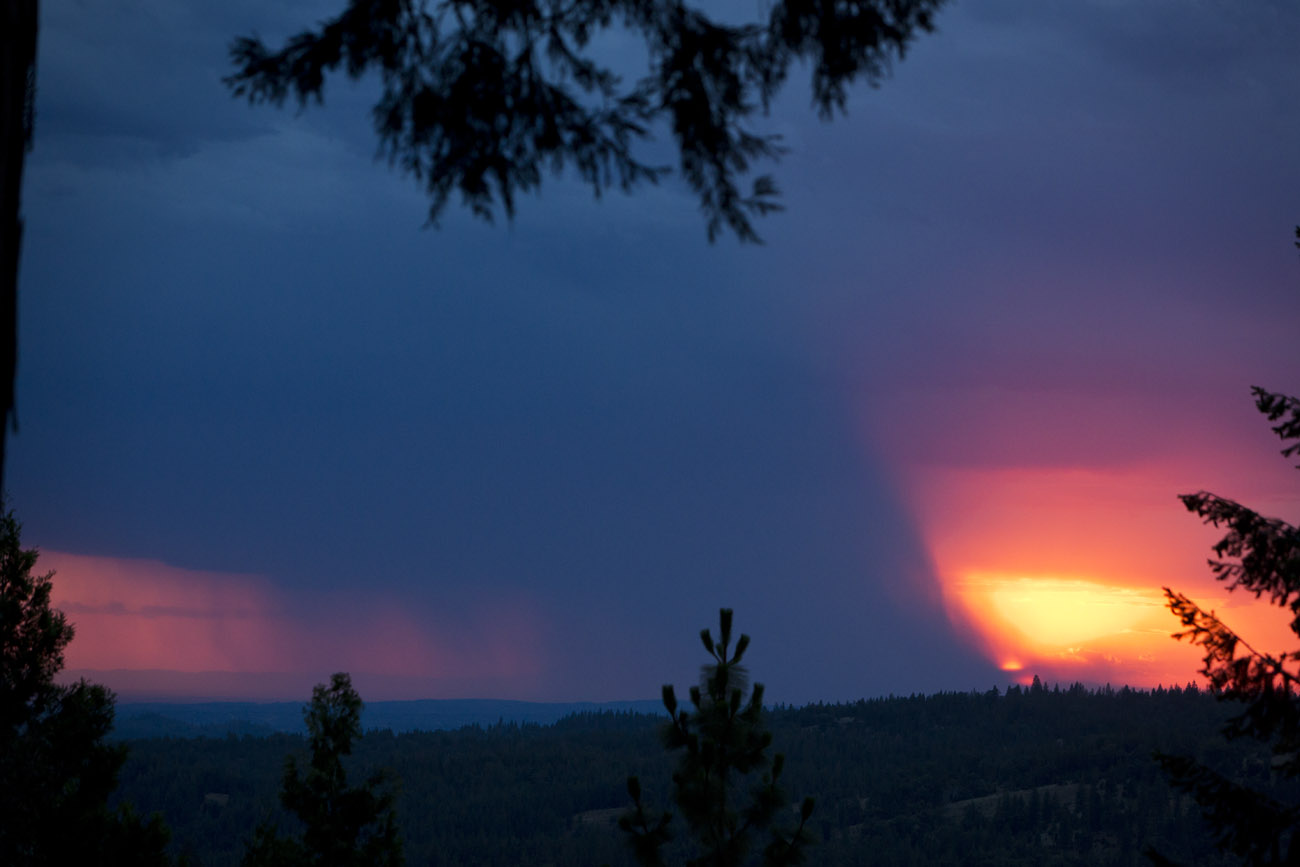
Sacramento deluge
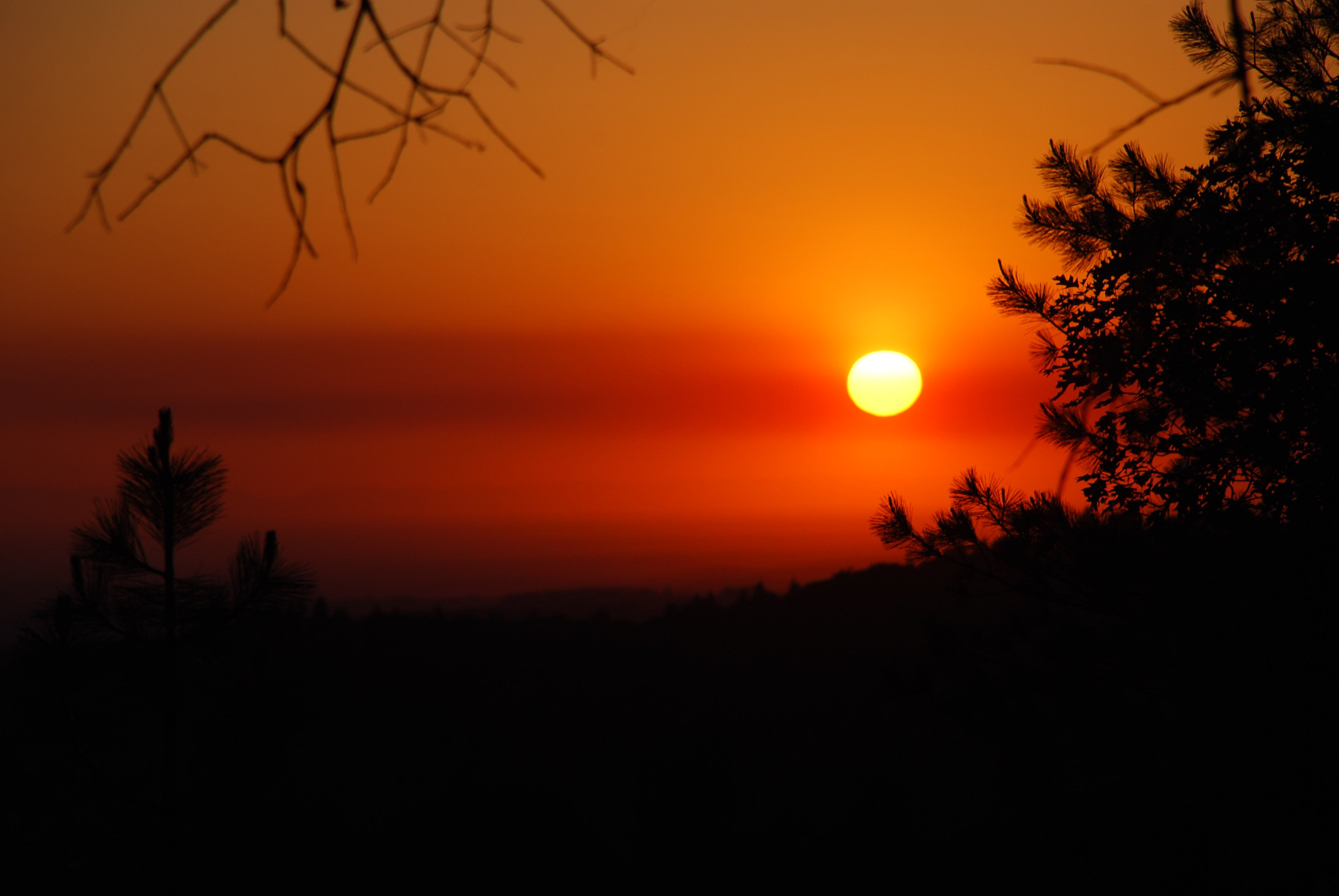
Fire from beyond
NSOR (New Shit Old Rules)
Saturday night
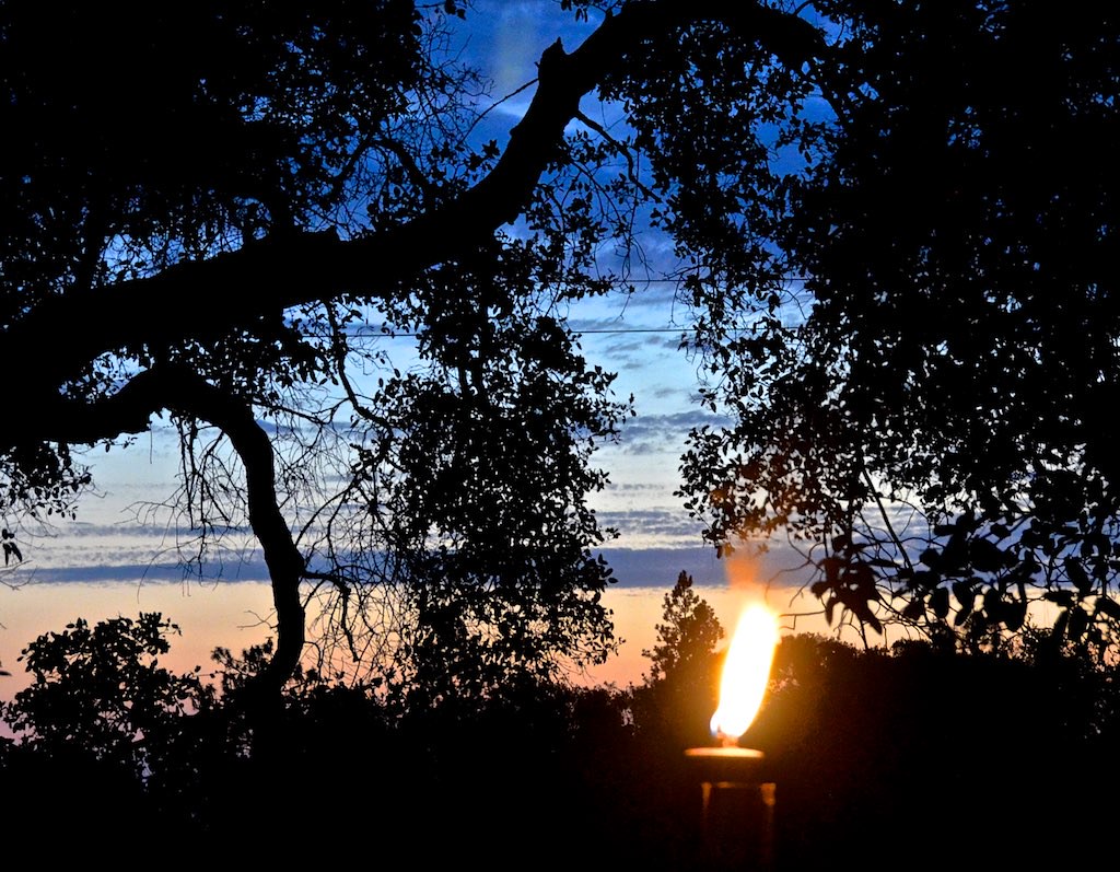
Cowboy Campfire, Dave Stamey, Hopkins, torch, sunset, Red Mule Ranch, Fiddletown,

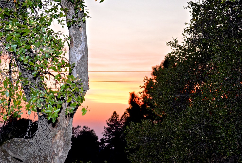
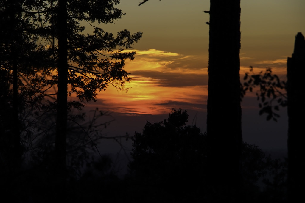
Sunrise through the trees in Amador County

Sunrise through the trees in Amador County

Sunrise through the trees in Amador County

Sunrise Behind the Trees Amador County

Sunrise through the trees in Amador County

Sunrise through the trees in Amador County

Sunrise through the trees in Amador County

Sunrise through the trees in Amador County

Sunrise through the trees in Amador County

Sunrise through the trees in Amador County
Doolittle Lane, Doolittle Ln, California, USA Karte
Suchen Sie einen anderen Ort
Nahe Plätze
Doolittle Ln, Pioneer, CA, USA
Pioneer Creek Mobile Home Comm, Prospect Pl # 20, Pioneer, CA, USA
Sylvan Rd, Pioneer, CA, USA
Sylvan Road, Sylvan Rd, Pioneer, CA, USA
Buckhorn Ln, Pioneer, CA, USA
Buckhorn Lane, Buckhorn Ln, Pioneer, CA, USA
Buckhorn Ridge Rd, Pioneer, CA, USA
Mount Misery Ln, Pioneer, CA, USA
Paradise Rd, Pioneer, CA, USA
Paradise Rd, Pioneer, CA, USA
Buckhorn Ridge Road, Buckhorn Ridge Rd, California, USA
Amador Memorial Cemetery, Pioneer, Kalifornien, USA
Cedar Heights Dr, Pioneer, CA, USA
Cedar Heights Drive, Cedar Heights Dr, Pioneer, CA, USA
Pioneer Park, Buckhorn Ridge Rd, Pioneer, CA, USA
Ridge Crest Dr, Pioneer, CA, USA
Buckhorn Ridge Rd, Pioneer, CA, USA
Buckhorn Ridge Rd, Pioneer, CA, USA
Le's Chinese Restaurant, CA-88, Pioneer, CA, USA
Schaefer Ranch Rd, Pioneer, CA, USA
Letzte Suche
- Red Dog Mine, AK, USA Sonnenaufgang Sonnenuntergang Zeiten
- Am Bahnhof, Am bhf, Borken, Germany Sonnenaufgang Sonnenuntergang Zeiten
- 4th St E, Sonoma, CA, USA Sonnenaufgang Sonnenuntergang Zeiten
- Oakland Ave, Williamsport, PA, USA Sonnenaufgang Sonnenuntergang Zeiten
- Via Roma, Pieranica CR, Italien Sonnenaufgang Sonnenuntergang Zeiten
- Glockenturm, Grad, Dubrovnik, Kroatien Sonnenaufgang Sonnenuntergang Zeiten
- Trelew, Chubut Province, Argentina Sonnenaufgang Sonnenuntergang Zeiten
- Hartfords Bluff Cir, Mt Pleasant, SC, USA Sonnenaufgang Sonnenuntergang Zeiten
- Kita-ku, Kumamoto, Präfektur Kumamoto, Japan Sonnenaufgang Sonnenuntergang Zeiten
- Pingtan Island, Pingtan County, Fuzhou, China Sonnenaufgang Sonnenuntergang Zeiten