Cottonwood Campground, Naches, WA, USA Sonnenaufgang Sonnenuntergang Zeiten
Location: USA > Washington > Naches >
Zeitzone:
America/Los_Angeles
Ortszeit:
2025-06-18 01:47:43
Länge:
-121.0261111
Breite:
46.9072222
Sonnenaufgang Heute:
05:08:58 AM
Sonnenuntergang Heute:
09:01:53 PM
Tageslänge heute:
15h 52m 55s
Sonnenaufgang morgen:
05:09:08 AM
Sonnenuntergang Morgen:
09:02:10 PM
Tageslänge von morgen:
15h 53m 2s
Alle Termine anzeigen
| Datum | Sonnenaufgang | Sonnenuntergang | Tageslänge |
|---|---|---|---|
| 2025-01-01 | 07:49:21 AM | 04:27:18 PM | 8h 37m 57s |
| 2025-01-02 | 07:49:16 AM | 04:28:19 PM | 8h 39m 3s |
| 2025-01-03 | 07:49:08 AM | 04:29:21 PM | 8h 40m 13s |
| 2025-01-04 | 07:48:57 AM | 04:30:25 PM | 8h 41m 28s |
| 2025-01-05 | 07:48:43 AM | 04:31:31 PM | 8h 42m 48s |
| 2025-01-06 | 07:48:27 AM | 04:32:39 PM | 8h 44m 12s |
| 2025-01-07 | 07:48:08 AM | 04:33:49 PM | 8h 45m 41s |
| 2025-01-08 | 07:47:46 AM | 04:35:00 PM | 8h 47m 14s |
| 2025-01-09 | 07:47:21 AM | 04:36:13 PM | 8h 48m 52s |
| 2025-01-10 | 07:46:54 AM | 04:37:28 PM | 8h 50m 34s |
| 2025-01-11 | 07:46:24 AM | 04:38:44 PM | 8h 52m 20s |
| 2025-01-12 | 07:45:51 AM | 04:40:01 PM | 8h 54m 10s |
| 2025-01-13 | 07:45:16 AM | 04:41:20 PM | 8h 56m 4s |
| 2025-01-14 | 07:44:38 AM | 04:42:39 PM | 8h 58m 1s |
| 2025-01-15 | 07:43:58 AM | 04:44:01 PM | 9h 0m 3s |
| 2025-01-16 | 07:43:15 AM | 04:45:23 PM | 9h 2m 8s |
| 2025-01-17 | 07:42:30 AM | 04:46:46 PM | 9h 4m 16s |
| 2025-01-18 | 07:41:42 AM | 04:48:10 PM | 9h 6m 28s |
| 2025-01-19 | 07:40:52 AM | 04:49:35 PM | 9h 8m 43s |
| 2025-01-20 | 07:40:00 AM | 04:51:01 PM | 9h 11m 1s |
| 2025-01-21 | 07:39:05 AM | 04:52:28 PM | 9h 13m 23s |
| 2025-01-22 | 07:38:08 AM | 04:53:55 PM | 9h 15m 47s |
| 2025-01-23 | 07:37:09 AM | 04:55:23 PM | 9h 18m 14s |
| 2025-01-24 | 07:36:07 AM | 04:56:52 PM | 9h 20m 45s |
| 2025-01-25 | 07:35:03 AM | 04:58:21 PM | 9h 23m 18s |
| 2025-01-26 | 07:33:58 AM | 04:59:51 PM | 9h 25m 53s |
| 2025-01-27 | 07:32:50 AM | 05:01:21 PM | 9h 28m 31s |
| 2025-01-28 | 07:31:40 AM | 05:02:52 PM | 9h 31m 12s |
| 2025-01-29 | 07:30:28 AM | 05:04:23 PM | 9h 33m 55s |
| 2025-01-30 | 07:29:14 AM | 05:05:54 PM | 9h 36m 40s |
| 2025-01-31 | 07:27:59 AM | 05:07:26 PM | 9h 39m 27s |
| 2025-02-01 | 07:26:41 AM | 05:08:58 PM | 9h 42m 17s |
| 2025-02-02 | 07:25:22 AM | 05:10:30 PM | 9h 45m 8s |
| 2025-02-03 | 07:24:01 AM | 05:12:02 PM | 9h 48m 1s |
| 2025-02-04 | 07:22:38 AM | 05:13:34 PM | 9h 50m 56s |
| 2025-02-05 | 07:21:14 AM | 05:15:06 PM | 9h 53m 52s |
| 2025-02-06 | 07:19:48 AM | 05:16:38 PM | 9h 56m 50s |
| 2025-02-07 | 07:18:20 AM | 05:18:11 PM | 9h 59m 51s |
| 2025-02-08 | 07:16:51 AM | 05:19:43 PM | 10h 2m 52s |
| 2025-02-09 | 07:15:20 AM | 05:21:15 PM | 10h 5m 55s |
| 2025-02-10 | 07:13:48 AM | 05:22:47 PM | 10h 8m 59s |
| 2025-02-11 | 07:12:14 AM | 05:24:19 PM | 10h 12m 5s |
| 2025-02-12 | 07:10:39 AM | 05:25:51 PM | 10h 15m 12s |
| 2025-02-13 | 07:09:03 AM | 05:27:23 PM | 10h 18m 20s |
| 2025-02-14 | 07:07:26 AM | 05:28:54 PM | 10h 21m 28s |
| 2025-02-15 | 07:05:47 AM | 05:30:26 PM | 10h 24m 39s |
| 2025-02-16 | 07:04:07 AM | 05:31:57 PM | 10h 27m 50s |
| 2025-02-17 | 07:02:26 AM | 05:33:28 PM | 10h 31m 2s |
| 2025-02-18 | 07:00:44 AM | 05:34:58 PM | 10h 34m 14s |
| 2025-02-19 | 06:59:00 AM | 05:36:29 PM | 10h 37m 29s |
| 2025-02-20 | 06:57:16 AM | 05:37:59 PM | 10h 40m 43s |
| 2025-02-21 | 06:55:30 AM | 05:39:29 PM | 10h 43m 59s |
| 2025-02-22 | 06:53:44 AM | 05:40:59 PM | 10h 47m 15s |
| 2025-02-23 | 06:51:57 AM | 05:42:28 PM | 10h 50m 31s |
| 2025-02-24 | 06:50:09 AM | 05:43:57 PM | 10h 53m 48s |
| 2025-02-25 | 06:48:20 AM | 05:45:26 PM | 10h 57m 6s |
| 2025-02-26 | 06:46:30 AM | 05:46:55 PM | 11h 0m 25s |
| 2025-02-27 | 06:44:39 AM | 05:48:23 PM | 11h 3m 44s |
| 2025-02-28 | 06:42:48 AM | 05:49:51 PM | 11h 7m 3s |
| 2025-03-01 | 06:40:56 AM | 05:51:19 PM | 11h 10m 23s |
| 2025-03-02 | 06:39:03 AM | 05:52:46 PM | 11h 13m 43s |
| 2025-03-03 | 06:37:10 AM | 05:54:13 PM | 11h 17m 3s |
| 2025-03-04 | 06:35:16 AM | 05:55:40 PM | 11h 20m 24s |
| 2025-03-05 | 06:33:21 AM | 05:57:07 PM | 11h 23m 46s |
| 2025-03-06 | 06:31:26 AM | 05:58:33 PM | 11h 27m 7s |
| 2025-03-07 | 06:29:30 AM | 05:59:59 PM | 11h 30m 29s |
| 2025-03-08 | 06:27:34 AM | 06:01:25 PM | 11h 33m 51s |
| 2025-03-09 | 07:25:43 AM | 07:02:47 PM | 11h 37m 4s |
| 2025-03-10 | 07:23:46 AM | 07:04:13 PM | 11h 40m 27s |
| 2025-03-11 | 07:21:49 AM | 07:05:38 PM | 11h 43m 49s |
| 2025-03-12 | 07:19:51 AM | 07:07:03 PM | 11h 47m 12s |
| 2025-03-13 | 07:17:53 AM | 07:08:28 PM | 11h 50m 35s |
| 2025-03-14 | 07:15:55 AM | 07:09:52 PM | 11h 53m 57s |
| 2025-03-15 | 07:13:56 AM | 07:11:17 PM | 11h 57m 21s |
| 2025-03-16 | 07:11:58 AM | 07:12:41 PM | 12h 0m 43s |
| 2025-03-17 | 07:09:59 AM | 07:14:05 PM | 12h 4m 6s |
| 2025-03-18 | 07:08:00 AM | 07:15:29 PM | 12h 7m 29s |
| 2025-03-19 | 07:06:01 AM | 07:16:52 PM | 12h 10m 51s |
| 2025-03-20 | 07:04:02 AM | 07:18:16 PM | 12h 14m 14s |
| 2025-03-21 | 07:02:02 AM | 07:19:39 PM | 12h 17m 37s |
| 2025-03-22 | 07:00:03 AM | 07:21:03 PM | 12h 21m 0s |
| 2025-03-23 | 06:58:04 AM | 07:22:26 PM | 12h 24m 22s |
| 2025-03-24 | 06:56:05 AM | 07:23:49 PM | 12h 27m 44s |
| 2025-03-25 | 06:54:05 AM | 07:25:12 PM | 12h 31m 7s |
| 2025-03-26 | 06:52:06 AM | 07:26:34 PM | 12h 34m 28s |
| 2025-03-27 | 06:50:07 AM | 07:27:57 PM | 12h 37m 50s |
| 2025-03-28 | 06:48:09 AM | 07:29:20 PM | 12h 41m 11s |
| 2025-03-29 | 06:46:10 AM | 07:30:43 PM | 12h 44m 33s |
| 2025-03-30 | 06:44:12 AM | 07:32:05 PM | 12h 47m 53s |
| 2025-03-31 | 06:42:14 AM | 07:33:28 PM | 12h 51m 14s |
| 2025-04-01 | 06:40:16 AM | 07:34:50 PM | 12h 54m 34s |
| 2025-04-02 | 06:38:18 AM | 07:36:13 PM | 12h 57m 55s |
| 2025-04-03 | 06:36:21 AM | 07:37:35 PM | 13h 1m 14s |
| 2025-04-04 | 06:34:24 AM | 07:38:57 PM | 13h 4m 33s |
| 2025-04-05 | 06:32:28 AM | 07:40:20 PM | 13h 7m 52s |
| 2025-04-06 | 06:30:32 AM | 07:41:42 PM | 13h 11m 10s |
| 2025-04-07 | 06:28:37 AM | 07:43:04 PM | 13h 14m 27s |
| 2025-04-08 | 06:26:42 AM | 07:44:27 PM | 13h 17m 45s |
| 2025-04-09 | 06:24:47 AM | 07:45:49 PM | 13h 21m 2s |
| 2025-04-10 | 06:22:53 AM | 07:47:11 PM | 13h 24m 18s |
| 2025-04-11 | 06:21:00 AM | 07:48:34 PM | 13h 27m 34s |
| 2025-04-12 | 06:19:08 AM | 07:49:56 PM | 13h 30m 48s |
| 2025-04-13 | 06:17:16 AM | 07:51:18 PM | 13h 34m 2s |
| 2025-04-14 | 06:15:25 AM | 07:52:41 PM | 13h 37m 16s |
| 2025-04-15 | 06:13:34 AM | 07:54:03 PM | 13h 40m 29s |
| 2025-04-16 | 06:11:44 AM | 07:55:25 PM | 13h 43m 41s |
| 2025-04-17 | 06:09:56 AM | 07:56:47 PM | 13h 46m 51s |
| 2025-04-18 | 06:08:08 AM | 07:58:09 PM | 13h 50m 1s |
| 2025-04-19 | 06:06:20 AM | 07:59:32 PM | 13h 53m 12s |
| 2025-04-20 | 06:04:34 AM | 08:00:54 PM | 13h 56m 20s |
| 2025-04-21 | 06:02:49 AM | 08:02:16 PM | 13h 59m 27s |
| 2025-04-22 | 06:01:05 AM | 08:03:38 PM | 14h 2m 33s |
| 2025-04-23 | 05:59:21 AM | 08:04:59 PM | 14h 5m 38s |
| 2025-04-24 | 05:57:39 AM | 08:06:21 PM | 14h 8m 42s |
| 2025-04-25 | 05:55:58 AM | 08:07:43 PM | 14h 11m 45s |
| 2025-04-26 | 05:54:18 AM | 08:09:04 PM | 14h 14m 46s |
| 2025-04-27 | 05:52:39 AM | 08:10:25 PM | 14h 17m 46s |
| 2025-04-28 | 05:51:02 AM | 08:11:47 PM | 14h 20m 45s |
| 2025-04-29 | 05:49:26 AM | 08:13:08 PM | 14h 23m 42s |
| 2025-04-30 | 05:47:51 AM | 08:14:28 PM | 14h 26m 37s |
| 2025-05-01 | 05:46:17 AM | 08:15:49 PM | 14h 29m 32s |
| 2025-05-02 | 05:44:45 AM | 08:17:09 PM | 14h 32m 24s |
| 2025-05-03 | 05:43:14 AM | 08:18:29 PM | 14h 35m 15s |
| 2025-05-04 | 05:41:44 AM | 08:19:48 PM | 14h 38m 4s |
| 2025-05-05 | 05:40:16 AM | 08:21:08 PM | 14h 40m 52s |
| 2025-05-06 | 05:38:50 AM | 08:22:26 PM | 14h 43m 36s |
| 2025-05-07 | 05:37:25 AM | 08:23:45 PM | 14h 46m 20s |
| 2025-05-08 | 05:36:01 AM | 08:25:03 PM | 14h 49m 2s |
| 2025-05-09 | 05:34:40 AM | 08:26:20 PM | 14h 51m 40s |
| 2025-05-10 | 05:33:20 AM | 08:27:37 PM | 14h 54m 17s |
| 2025-05-11 | 05:32:02 AM | 08:28:53 PM | 14h 56m 51s |
| 2025-05-12 | 05:30:45 AM | 08:30:09 PM | 14h 59m 24s |
| 2025-05-13 | 05:29:30 AM | 08:31:24 PM | 15h 1m 54s |
| 2025-05-14 | 05:28:18 AM | 08:32:39 PM | 15h 4m 21s |
| 2025-05-15 | 05:27:07 AM | 08:33:52 PM | 15h 6m 45s |
| 2025-05-16 | 05:25:57 AM | 08:35:05 PM | 15h 9m 8s |
| 2025-05-17 | 05:24:50 AM | 08:36:17 PM | 15h 11m 27s |
| 2025-05-18 | 05:23:45 AM | 08:37:28 PM | 15h 13m 43s |
| 2025-05-19 | 05:22:42 AM | 08:38:38 PM | 15h 15m 56s |
| 2025-05-20 | 05:21:41 AM | 08:39:47 PM | 15h 18m 6s |
| 2025-05-21 | 05:20:42 AM | 08:40:55 PM | 15h 20m 13s |
| 2025-05-22 | 05:19:45 AM | 08:42:02 PM | 15h 22m 17s |
| 2025-05-23 | 05:18:51 AM | 08:43:08 PM | 15h 24m 17s |
| 2025-05-24 | 05:17:58 AM | 08:44:13 PM | 15h 26m 15s |
| 2025-05-25 | 05:17:08 AM | 08:45:16 PM | 15h 28m 8s |
| 2025-05-26 | 05:16:20 AM | 08:46:19 PM | 15h 29m 59s |
| 2025-05-27 | 05:15:34 AM | 08:47:19 PM | 15h 31m 45s |
| 2025-05-28 | 05:14:51 AM | 08:48:19 PM | 15h 33m 28s |
| 2025-05-29 | 05:14:10 AM | 08:49:16 PM | 15h 35m 6s |
| 2025-05-30 | 05:13:31 AM | 08:50:13 PM | 15h 36m 42s |
| 2025-05-31 | 05:12:55 AM | 08:51:08 PM | 15h 38m 13s |
| 2025-06-01 | 05:12:21 AM | 08:52:01 PM | 15h 39m 40s |
| 2025-06-02 | 05:11:49 AM | 08:52:52 PM | 15h 41m 3s |
| 2025-06-03 | 05:11:20 AM | 08:53:42 PM | 15h 42m 22s |
| 2025-06-04 | 05:10:54 AM | 08:54:30 PM | 15h 43m 36s |
| 2025-06-05 | 05:10:30 AM | 08:55:16 PM | 15h 44m 46s |
| 2025-06-06 | 05:10:08 AM | 08:56:00 PM | 15h 45m 52s |
| 2025-06-07 | 05:09:49 AM | 08:56:42 PM | 15h 46m 53s |
| 2025-06-08 | 05:09:32 AM | 08:57:22 PM | 15h 47m 50s |
| 2025-06-09 | 05:09:18 AM | 08:58:00 PM | 15h 48m 42s |
| 2025-06-10 | 05:09:07 AM | 08:58:36 PM | 15h 49m 29s |
| 2025-06-11 | 05:08:58 AM | 08:59:10 PM | 15h 50m 12s |
| 2025-06-12 | 05:08:51 AM | 08:59:42 PM | 15h 50m 51s |
| 2025-06-13 | 05:08:47 AM | 09:00:11 PM | 15h 51m 24s |
| 2025-06-14 | 05:08:45 AM | 09:00:39 PM | 15h 51m 54s |
| 2025-06-15 | 05:08:46 AM | 09:01:03 PM | 15h 52m 17s |
| 2025-06-16 | 05:08:50 AM | 09:01:26 PM | 15h 52m 36s |
| 2025-06-17 | 05:08:56 AM | 09:01:46 PM | 15h 52m 50s |
| 2025-06-18 | 05:09:04 AM | 09:02:04 PM | 15h 53m 0s |
| 2025-06-19 | 05:09:15 AM | 09:02:20 PM | 15h 53m 5s |
| 2025-06-20 | 05:09:28 AM | 09:02:33 PM | 15h 53m 5s |
| 2025-06-21 | 05:09:43 AM | 09:02:43 PM | 15h 53m 0s |
| 2025-06-22 | 05:10:01 AM | 09:02:51 PM | 15h 52m 50s |
| 2025-06-23 | 05:10:21 AM | 09:02:57 PM | 15h 52m 36s |
| 2025-06-24 | 05:10:44 AM | 09:03:00 PM | 15h 52m 16s |
| 2025-06-25 | 05:11:08 AM | 09:03:00 PM | 15h 51m 52s |
| 2025-06-26 | 05:11:35 AM | 09:02:58 PM | 15h 51m 23s |
| 2025-06-27 | 05:12:04 AM | 09:02:54 PM | 15h 50m 50s |
| 2025-06-28 | 05:12:36 AM | 09:02:46 PM | 15h 50m 10s |
| 2025-06-29 | 05:13:09 AM | 09:02:37 PM | 15h 49m 28s |
| 2025-06-30 | 05:13:45 AM | 09:02:24 PM | 15h 48m 39s |
| 2025-07-01 | 05:14:22 AM | 09:02:10 PM | 15h 47m 48s |
| 2025-07-02 | 05:15:01 AM | 09:01:52 PM | 15h 46m 51s |
| 2025-07-03 | 05:15:43 AM | 09:01:32 PM | 15h 45m 49s |
| 2025-07-04 | 05:16:26 AM | 09:01:10 PM | 15h 44m 44s |
| 2025-07-05 | 05:17:11 AM | 09:00:45 PM | 15h 43m 34s |
| 2025-07-06 | 05:17:57 AM | 09:00:17 PM | 15h 42m 20s |
| 2025-07-07 | 05:18:46 AM | 08:59:47 PM | 15h 41m 1s |
| 2025-07-08 | 05:19:36 AM | 08:59:15 PM | 15h 39m 39s |
| 2025-07-09 | 05:20:28 AM | 08:58:40 PM | 15h 38m 12s |
| 2025-07-10 | 05:21:21 AM | 08:58:03 PM | 15h 36m 42s |
| 2025-07-11 | 05:22:16 AM | 08:57:23 PM | 15h 35m 7s |
| 2025-07-12 | 05:23:12 AM | 08:56:41 PM | 15h 33m 29s |
| 2025-07-13 | 05:24:10 AM | 08:55:56 PM | 15h 31m 46s |
| 2025-07-14 | 05:25:08 AM | 08:55:10 PM | 15h 30m 2s |
| 2025-07-15 | 05:26:09 AM | 08:54:20 PM | 15h 28m 11s |
| 2025-07-16 | 05:27:10 AM | 08:53:29 PM | 15h 26m 19s |
| 2025-07-17 | 05:28:13 AM | 08:52:35 PM | 15h 24m 22s |
| 2025-07-18 | 05:29:16 AM | 08:51:39 PM | 15h 22m 23s |
| 2025-07-19 | 05:30:21 AM | 08:50:41 PM | 15h 20m 20s |
| 2025-07-20 | 05:31:27 AM | 08:49:41 PM | 15h 18m 14s |
| 2025-07-21 | 05:32:34 AM | 08:48:39 PM | 15h 16m 5s |
| 2025-07-22 | 05:33:41 AM | 08:47:35 PM | 15h 13m 54s |
| 2025-07-23 | 05:34:50 AM | 08:46:28 PM | 15h 11m 38s |
| 2025-07-24 | 05:35:59 AM | 08:45:20 PM | 15h 9m 21s |
| 2025-07-25 | 05:37:09 AM | 08:44:10 PM | 15h 7m 1s |
| 2025-07-26 | 05:38:20 AM | 08:42:57 PM | 15h 4m 37s |
| 2025-07-27 | 05:39:31 AM | 08:41:43 PM | 15h 2m 12s |
| 2025-07-28 | 05:40:44 AM | 08:40:27 PM | 14h 59m 43s |
| 2025-07-29 | 05:41:56 AM | 08:39:10 PM | 14h 57m 14s |
| 2025-07-30 | 05:43:09 AM | 08:37:50 PM | 14h 54m 41s |
| 2025-07-31 | 05:44:23 AM | 08:36:29 PM | 14h 52m 6s |
| 2025-08-01 | 05:45:37 AM | 08:35:06 PM | 14h 49m 29s |
| 2025-08-02 | 05:46:52 AM | 08:33:41 PM | 14h 46m 49s |
| 2025-08-03 | 05:48:07 AM | 08:32:15 PM | 14h 44m 8s |
| 2025-08-04 | 05:49:23 AM | 08:30:47 PM | 14h 41m 24s |
| 2025-08-05 | 05:50:38 AM | 08:29:18 PM | 14h 38m 40s |
| 2025-08-06 | 05:51:54 AM | 08:27:47 PM | 14h 35m 53s |
| 2025-08-07 | 05:53:11 AM | 08:26:15 PM | 14h 33m 4s |
| 2025-08-08 | 05:54:27 AM | 08:24:41 PM | 14h 30m 14s |
| 2025-08-09 | 05:55:44 AM | 08:23:06 PM | 14h 27m 22s |
| 2025-08-10 | 05:57:01 AM | 08:21:30 PM | 14h 24m 29s |
| 2025-08-11 | 05:58:18 AM | 08:19:52 PM | 14h 21m 34s |
| 2025-08-12 | 05:59:35 AM | 08:18:14 PM | 14h 18m 39s |
| 2025-08-13 | 06:00:53 AM | 08:16:33 PM | 14h 15m 40s |
| 2025-08-14 | 06:02:10 AM | 08:14:52 PM | 14h 12m 42s |
| 2025-08-15 | 06:03:28 AM | 08:13:10 PM | 14h 9m 42s |
| 2025-08-16 | 06:04:46 AM | 08:11:26 PM | 14h 6m 40s |
| 2025-08-17 | 06:06:03 AM | 08:09:42 PM | 14h 3m 39s |
| 2025-08-18 | 06:07:21 AM | 08:07:56 PM | 14h 0m 35s |
| 2025-08-19 | 06:08:39 AM | 08:06:09 PM | 13h 57m 30s |
| 2025-08-20 | 06:09:57 AM | 08:04:22 PM | 13h 54m 25s |
| 2025-08-21 | 06:11:15 AM | 08:02:33 PM | 13h 51m 18s |
| 2025-08-22 | 06:12:32 AM | 08:00:44 PM | 13h 48m 12s |
| 2025-08-23 | 06:13:50 AM | 07:58:54 PM | 13h 45m 4s |
| 2025-08-24 | 06:15:08 AM | 07:57:03 PM | 13h 41m 55s |
| 2025-08-25 | 06:16:26 AM | 07:55:11 PM | 13h 38m 45s |
| 2025-08-26 | 06:17:44 AM | 07:53:18 PM | 13h 35m 34s |
| 2025-08-27 | 06:19:02 AM | 07:51:25 PM | 13h 32m 23s |
| 2025-08-28 | 06:20:19 AM | 07:49:31 PM | 13h 29m 12s |
| 2025-08-29 | 06:21:37 AM | 07:47:36 PM | 13h 25m 59s |
| 2025-08-30 | 06:22:55 AM | 07:45:41 PM | 13h 22m 46s |
| 2025-08-31 | 06:24:13 AM | 07:43:45 PM | 13h 19m 32s |
| 2025-09-01 | 06:25:30 AM | 07:41:49 PM | 13h 16m 19s |
| 2025-09-02 | 06:26:48 AM | 07:39:52 PM | 13h 13m 4s |
| 2025-09-03 | 06:28:06 AM | 07:37:54 PM | 13h 9m 48s |
| 2025-09-04 | 06:29:23 AM | 07:35:56 PM | 13h 6m 33s |
| 2025-09-05 | 06:30:41 AM | 07:33:58 PM | 13h 3m 17s |
| 2025-09-06 | 06:31:59 AM | 07:31:59 PM | 13h 0m 0s |
| 2025-09-07 | 06:33:16 AM | 07:30:00 PM | 12h 56m 44s |
| 2025-09-08 | 06:34:34 AM | 07:28:01 PM | 12h 53m 27s |
| 2025-09-09 | 06:35:52 AM | 07:26:01 PM | 12h 50m 9s |
| 2025-09-10 | 06:37:09 AM | 07:24:01 PM | 12h 46m 52s |
| 2025-09-11 | 06:38:27 AM | 07:22:01 PM | 12h 43m 34s |
| 2025-09-12 | 06:39:45 AM | 07:20:01 PM | 12h 40m 16s |
| 2025-09-13 | 06:41:03 AM | 07:18:00 PM | 12h 36m 57s |
| 2025-09-14 | 06:42:21 AM | 07:15:59 PM | 12h 33m 38s |
| 2025-09-15 | 06:43:39 AM | 07:13:58 PM | 12h 30m 19s |
| 2025-09-16 | 06:44:57 AM | 07:11:57 PM | 12h 27m 0s |
| 2025-09-17 | 06:46:15 AM | 07:09:56 PM | 12h 23m 41s |
| 2025-09-18 | 06:47:33 AM | 07:07:55 PM | 12h 20m 22s |
| 2025-09-19 | 06:48:52 AM | 07:05:54 PM | 12h 17m 2s |
| 2025-09-20 | 06:50:10 AM | 07:03:53 PM | 12h 13m 43s |
| 2025-09-21 | 06:51:29 AM | 07:01:52 PM | 12h 10m 23s |
| 2025-09-22 | 06:52:48 AM | 06:59:51 PM | 12h 7m 3s |
| 2025-09-23 | 06:54:07 AM | 06:57:51 PM | 12h 3m 44s |
| 2025-09-24 | 06:55:26 AM | 06:55:50 PM | 12h 0m 24s |
| 2025-09-25 | 06:56:45 AM | 06:53:49 PM | 11h 57m 4s |
| 2025-09-26 | 06:58:04 AM | 06:51:49 PM | 11h 53m 45s |
| 2025-09-27 | 06:59:24 AM | 06:49:49 PM | 11h 50m 25s |
| 2025-09-28 | 07:00:44 AM | 06:47:50 PM | 11h 47m 6s |
| 2025-09-29 | 07:02:04 AM | 06:45:50 PM | 11h 43m 46s |
| 2025-09-30 | 07:03:24 AM | 06:43:51 PM | 11h 40m 27s |
| 2025-10-01 | 07:04:45 AM | 06:41:52 PM | 11h 37m 7s |
| 2025-10-02 | 07:06:06 AM | 06:39:54 PM | 11h 33m 48s |
| 2025-10-03 | 07:07:27 AM | 06:37:56 PM | 11h 30m 29s |
| 2025-10-04 | 07:08:48 AM | 06:35:59 PM | 11h 27m 11s |
| 2025-10-05 | 07:10:10 AM | 06:34:02 PM | 11h 23m 52s |
| 2025-10-06 | 07:11:32 AM | 06:32:06 PM | 11h 20m 34s |
| 2025-10-07 | 07:12:54 AM | 06:30:10 PM | 11h 17m 16s |
| 2025-10-08 | 07:14:16 AM | 06:28:14 PM | 11h 13m 58s |
| 2025-10-09 | 07:15:39 AM | 06:26:20 PM | 11h 10m 41s |
| 2025-10-10 | 07:17:02 AM | 06:24:26 PM | 11h 7m 24s |
| 2025-10-11 | 07:18:25 AM | 06:22:33 PM | 11h 4m 8s |
| 2025-10-12 | 07:19:49 AM | 06:20:40 PM | 11h 0m 51s |
| 2025-10-13 | 07:21:13 AM | 06:18:48 PM | 10h 57m 35s |
| 2025-10-14 | 07:22:37 AM | 06:16:57 PM | 10h 54m 20s |
| 2025-10-15 | 07:24:01 AM | 06:15:07 PM | 10h 51m 6s |
| 2025-10-16 | 07:25:26 AM | 06:13:18 PM | 10h 47m 52s |
| 2025-10-17 | 07:26:51 AM | 06:11:30 PM | 10h 44m 39s |
| 2025-10-18 | 07:28:17 AM | 06:09:42 PM | 10h 41m 25s |
| 2025-10-19 | 07:29:42 AM | 06:07:56 PM | 10h 38m 14s |
| 2025-10-20 | 07:31:08 AM | 06:06:11 PM | 10h 35m 3s |
| 2025-10-21 | 07:32:35 AM | 06:04:26 PM | 10h 31m 51s |
| 2025-10-22 | 07:34:01 AM | 06:02:43 PM | 10h 28m 42s |
| 2025-10-23 | 07:35:28 AM | 06:01:01 PM | 10h 25m 33s |
| 2025-10-24 | 07:36:55 AM | 05:59:20 PM | 10h 22m 25s |
| 2025-10-25 | 07:38:22 AM | 05:57:40 PM | 10h 19m 18s |
| 2025-10-26 | 07:39:50 AM | 05:56:02 PM | 10h 16m 12s |
| 2025-10-27 | 07:41:17 AM | 05:54:25 PM | 10h 13m 8s |
| 2025-10-28 | 07:42:45 AM | 05:52:49 PM | 10h 10m 4s |
| 2025-10-29 | 07:44:13 AM | 05:51:15 PM | 10h 7m 2s |
| 2025-10-30 | 07:45:42 AM | 05:49:42 PM | 10h 4m 0s |
| 2025-10-31 | 07:47:10 AM | 05:48:10 PM | 10h 1m 0s |
| 2025-11-01 | 07:48:38 AM | 05:46:40 PM | 9h 58m 2s |
| 2025-11-02 | 06:50:10 AM | 04:45:08 PM | 9h 54m 58s |
| 2025-11-03 | 06:51:39 AM | 04:43:41 PM | 9h 52m 2s |
| 2025-11-04 | 06:53:08 AM | 04:42:16 PM | 9h 49m 8s |
| 2025-11-05 | 06:54:36 AM | 04:40:53 PM | 9h 46m 17s |
| 2025-11-06 | 06:56:05 AM | 04:39:31 PM | 9h 43m 26s |
| 2025-11-07 | 06:57:33 AM | 04:38:11 PM | 9h 40m 38s |
| 2025-11-08 | 06:59:01 AM | 04:36:53 PM | 9h 37m 52s |
| 2025-11-09 | 07:00:29 AM | 04:35:37 PM | 9h 35m 8s |
| 2025-11-10 | 07:01:57 AM | 04:34:22 PM | 9h 32m 25s |
| 2025-11-11 | 07:03:25 AM | 04:33:10 PM | 9h 29m 45s |
| 2025-11-12 | 07:04:52 AM | 04:32:00 PM | 9h 27m 8s |
| 2025-11-13 | 07:06:19 AM | 04:30:51 PM | 9h 24m 32s |
| 2025-11-14 | 07:07:46 AM | 04:29:45 PM | 9h 21m 59s |
| 2025-11-15 | 07:09:12 AM | 04:28:41 PM | 9h 19m 29s |
| 2025-11-16 | 07:10:37 AM | 04:27:39 PM | 9h 17m 2s |
| 2025-11-17 | 07:12:02 AM | 04:26:39 PM | 9h 14m 37s |
| 2025-11-18 | 07:13:27 AM | 04:25:42 PM | 9h 12m 15s |
| 2025-11-19 | 07:14:50 AM | 04:24:47 PM | 9h 9m 57s |
| 2025-11-20 | 07:16:14 AM | 04:23:54 PM | 9h 7m 40s |
| 2025-11-21 | 07:17:36 AM | 04:23:03 PM | 9h 5m 27s |
| 2025-11-22 | 07:18:57 AM | 04:22:15 PM | 9h 3m 18s |
| 2025-11-23 | 07:20:18 AM | 04:21:30 PM | 9h 1m 12s |
| 2025-11-24 | 07:21:37 AM | 04:20:47 PM | 8h 59m 10s |
| 2025-11-25 | 07:22:56 AM | 04:20:06 PM | 8h 57m 10s |
| 2025-11-26 | 07:24:13 AM | 04:19:28 PM | 8h 55m 15s |
| 2025-11-27 | 07:25:29 AM | 04:18:53 PM | 8h 53m 24s |
| 2025-11-28 | 07:26:44 AM | 04:18:20 PM | 8h 51m 36s |
| 2025-11-29 | 07:27:58 AM | 04:17:50 PM | 8h 49m 52s |
| 2025-11-30 | 07:29:10 AM | 04:17:23 PM | 8h 48m 13s |
| 2025-12-01 | 07:30:20 AM | 04:16:58 PM | 8h 46m 38s |
| 2025-12-02 | 07:31:30 AM | 04:16:36 PM | 8h 45m 6s |
| 2025-12-03 | 07:32:37 AM | 04:16:17 PM | 8h 43m 40s |
| 2025-12-04 | 07:33:43 AM | 04:16:01 PM | 8h 42m 18s |
| 2025-12-05 | 07:34:47 AM | 04:15:47 PM | 8h 41m 0s |
| 2025-12-06 | 07:35:50 AM | 04:15:37 PM | 8h 39m 47s |
| 2025-12-07 | 07:36:50 AM | 04:15:29 PM | 8h 38m 39s |
| 2025-12-08 | 07:37:49 AM | 04:15:24 PM | 8h 37m 35s |
| 2025-12-09 | 07:38:46 AM | 04:15:22 PM | 8h 36m 36s |
| 2025-12-10 | 07:39:40 AM | 04:15:22 PM | 8h 35m 42s |
| 2025-12-11 | 07:40:33 AM | 04:15:26 PM | 8h 34m 53s |
| 2025-12-12 | 07:41:23 AM | 04:15:32 PM | 8h 34m 9s |
| 2025-12-13 | 07:42:11 AM | 04:15:41 PM | 8h 33m 30s |
| 2025-12-14 | 07:42:57 AM | 04:15:53 PM | 8h 32m 56s |
| 2025-12-15 | 07:43:40 AM | 04:16:08 PM | 8h 32m 28s |
| 2025-12-16 | 07:44:21 AM | 04:16:26 PM | 8h 32m 5s |
| 2025-12-17 | 07:45:00 AM | 04:16:46 PM | 8h 31m 46s |
| 2025-12-18 | 07:45:36 AM | 04:17:09 PM | 8h 31m 33s |
| 2025-12-19 | 07:46:09 AM | 04:17:35 PM | 8h 31m 26s |
| 2025-12-20 | 07:46:40 AM | 04:18:04 PM | 8h 31m 24s |
| 2025-12-21 | 07:47:09 AM | 04:18:35 PM | 8h 31m 26s |
| 2025-12-22 | 07:47:34 AM | 04:19:09 PM | 8h 31m 35s |
| 2025-12-23 | 07:47:58 AM | 04:19:46 PM | 8h 31m 48s |
| 2025-12-24 | 07:48:18 AM | 04:20:25 PM | 8h 32m 7s |
| 2025-12-25 | 07:48:36 AM | 04:21:06 PM | 8h 32m 30s |
| 2025-12-26 | 07:48:50 AM | 04:21:50 PM | 8h 33m 0s |
| 2025-12-27 | 07:49:03 AM | 04:22:37 PM | 8h 33m 34s |
| 2025-12-28 | 07:49:12 AM | 04:23:26 PM | 8h 34m 14s |
| 2025-12-29 | 07:49:19 AM | 04:24:17 PM | 8h 34m 58s |
| 2025-12-30 | 07:49:22 AM | 04:25:10 PM | 8h 35m 48s |
| 2025-12-31 | 07:49:23 AM | 04:26:06 PM | 8h 36m 43s |
Fotos
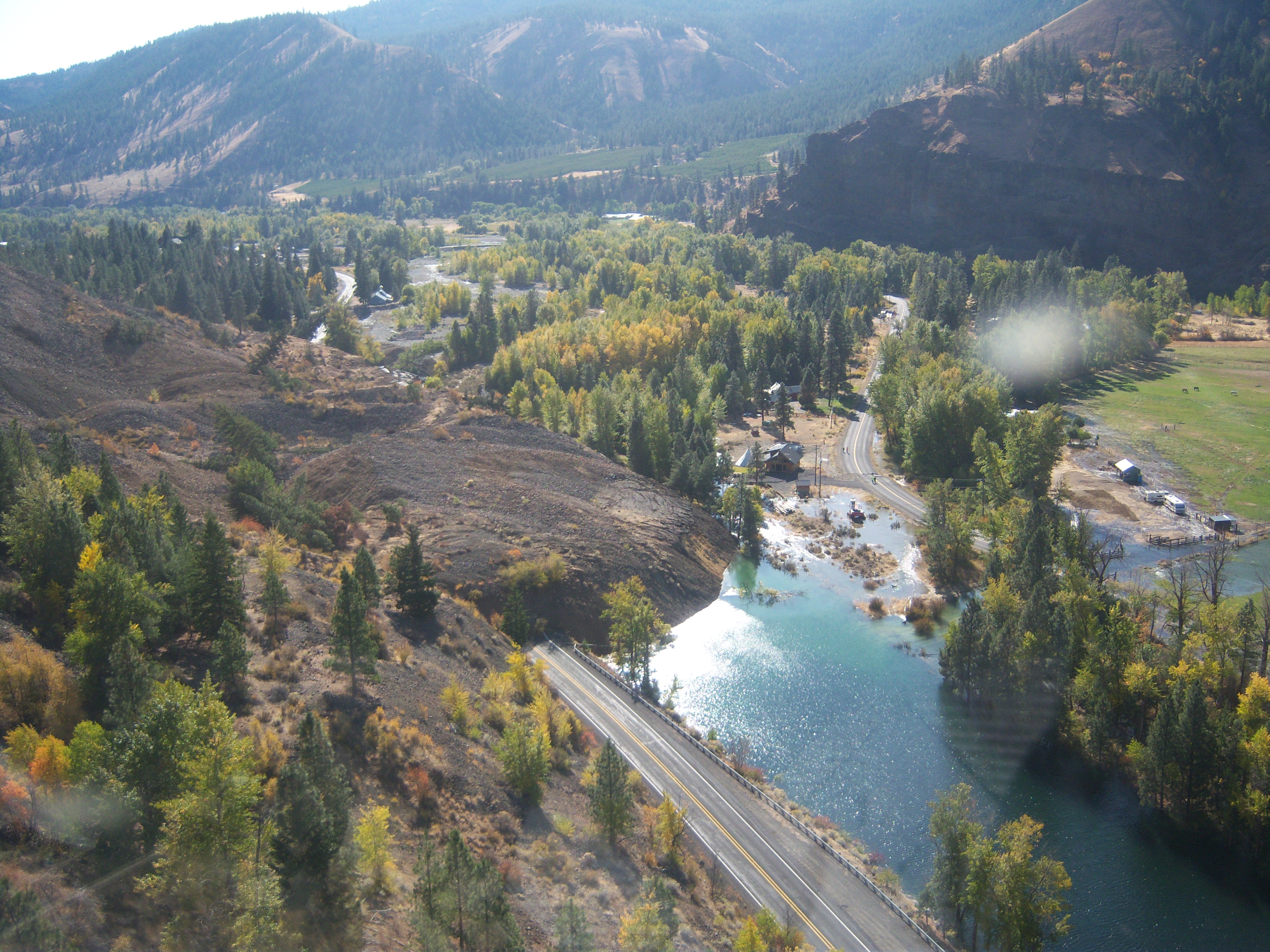
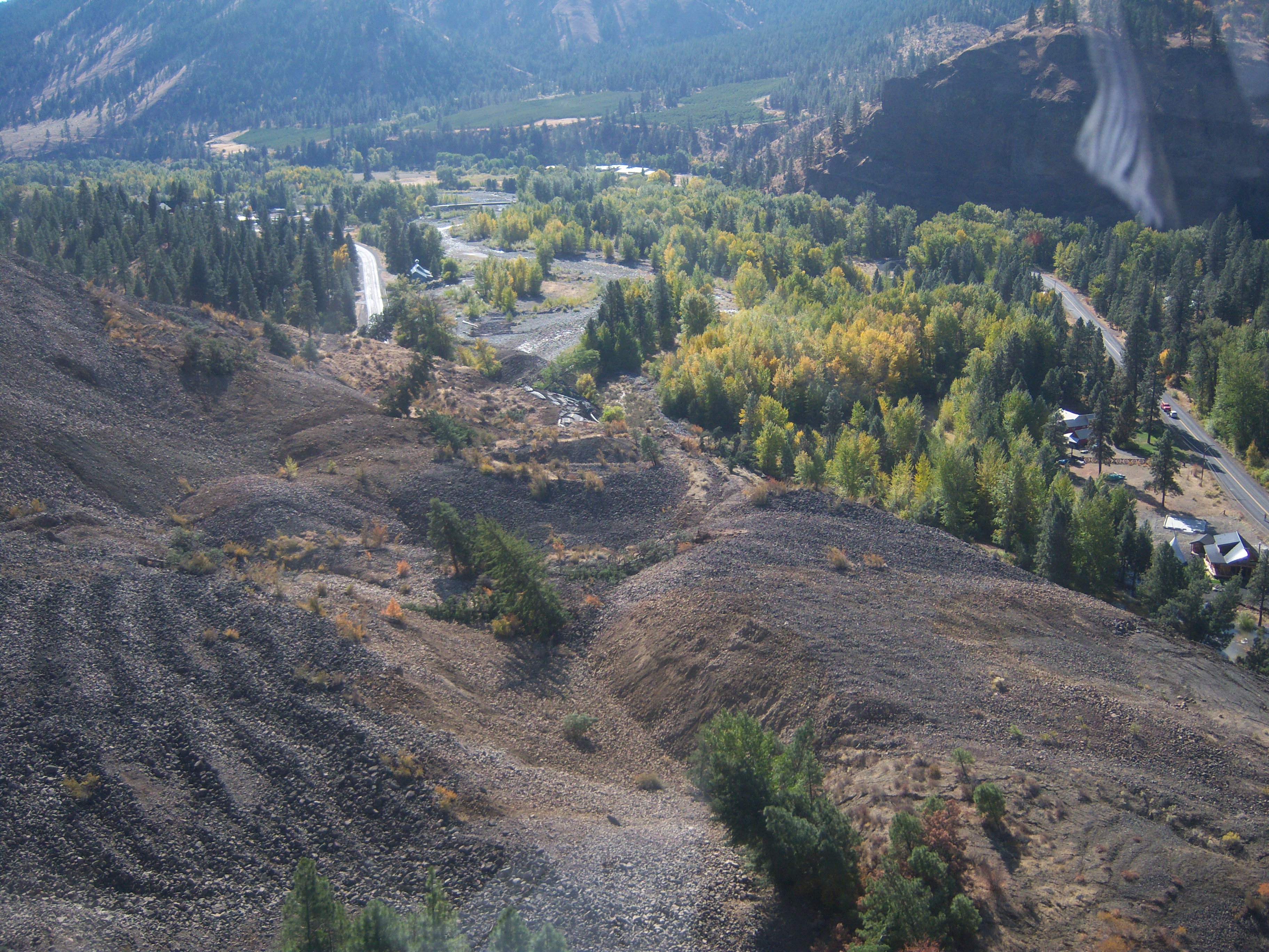
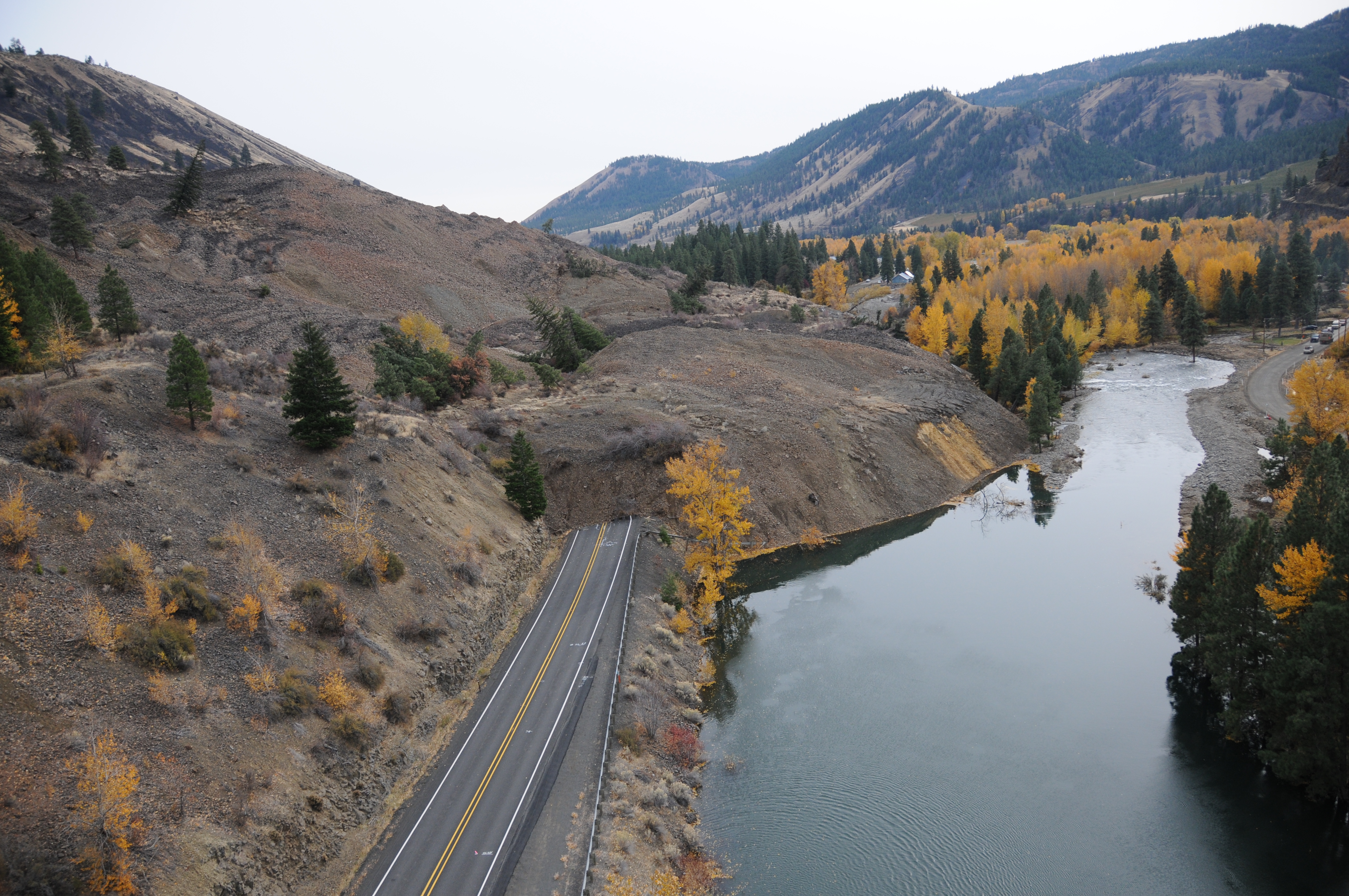
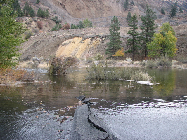
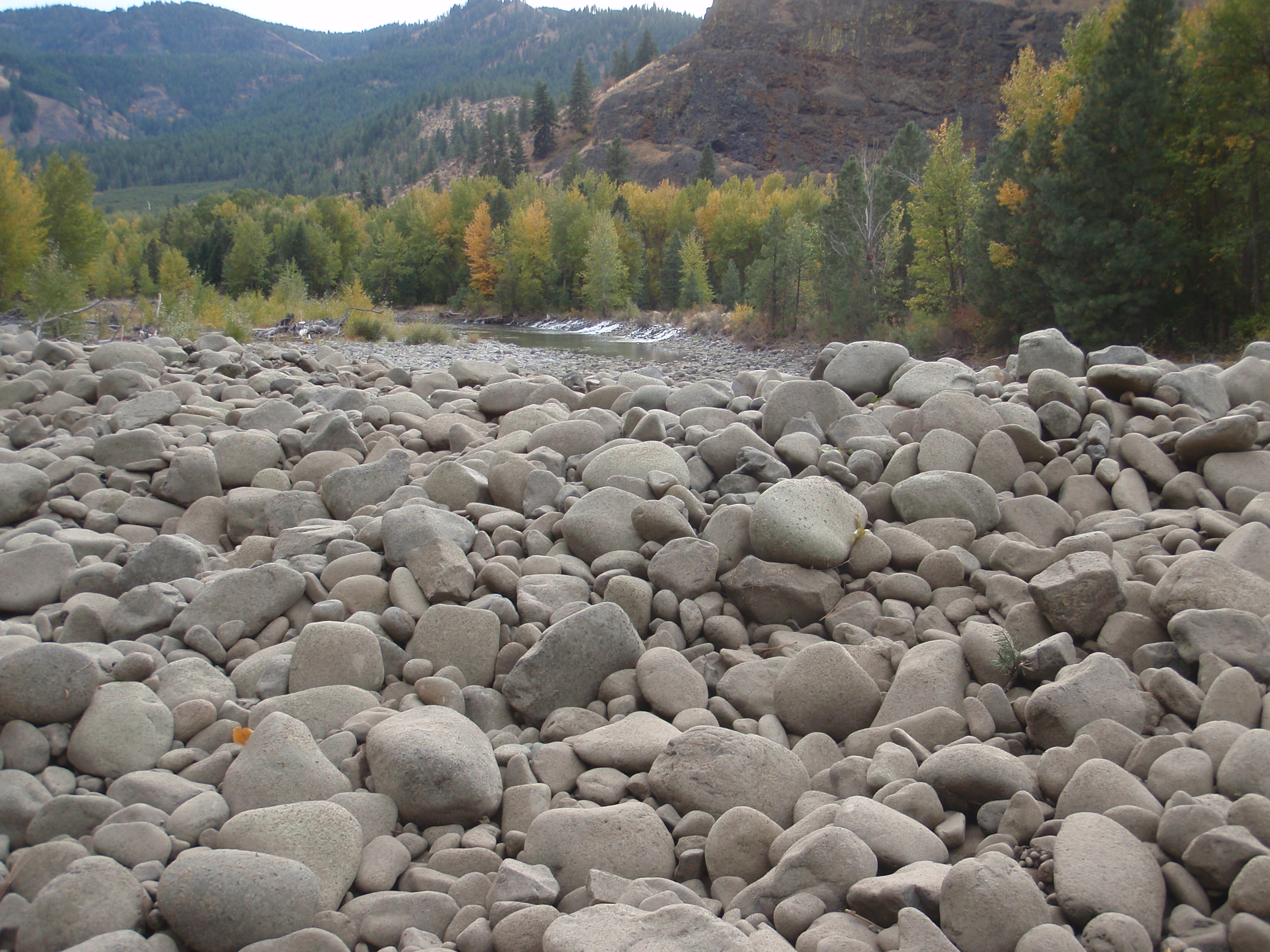
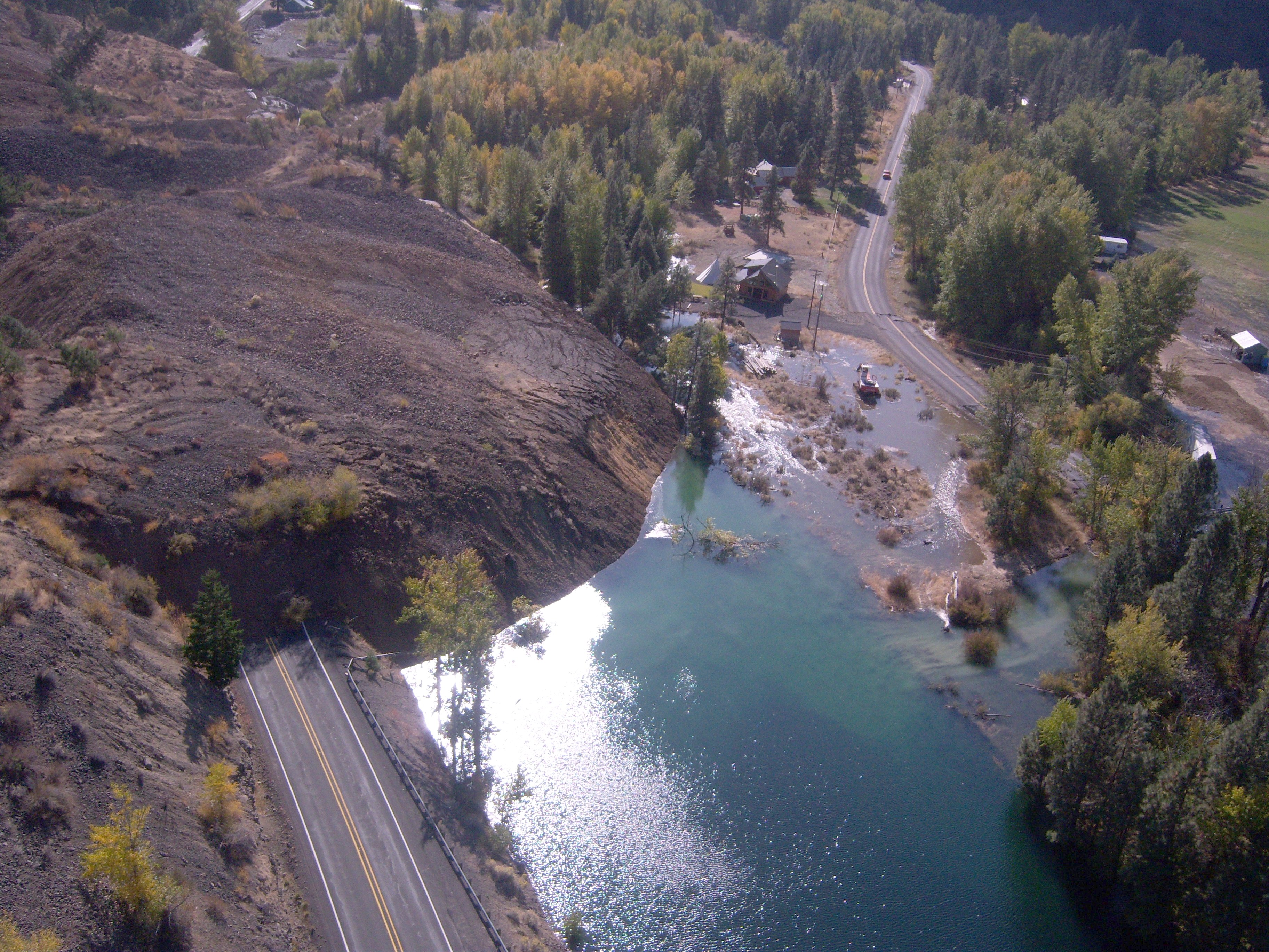
SR 410 Nile Valley Landslide (west of Naches)
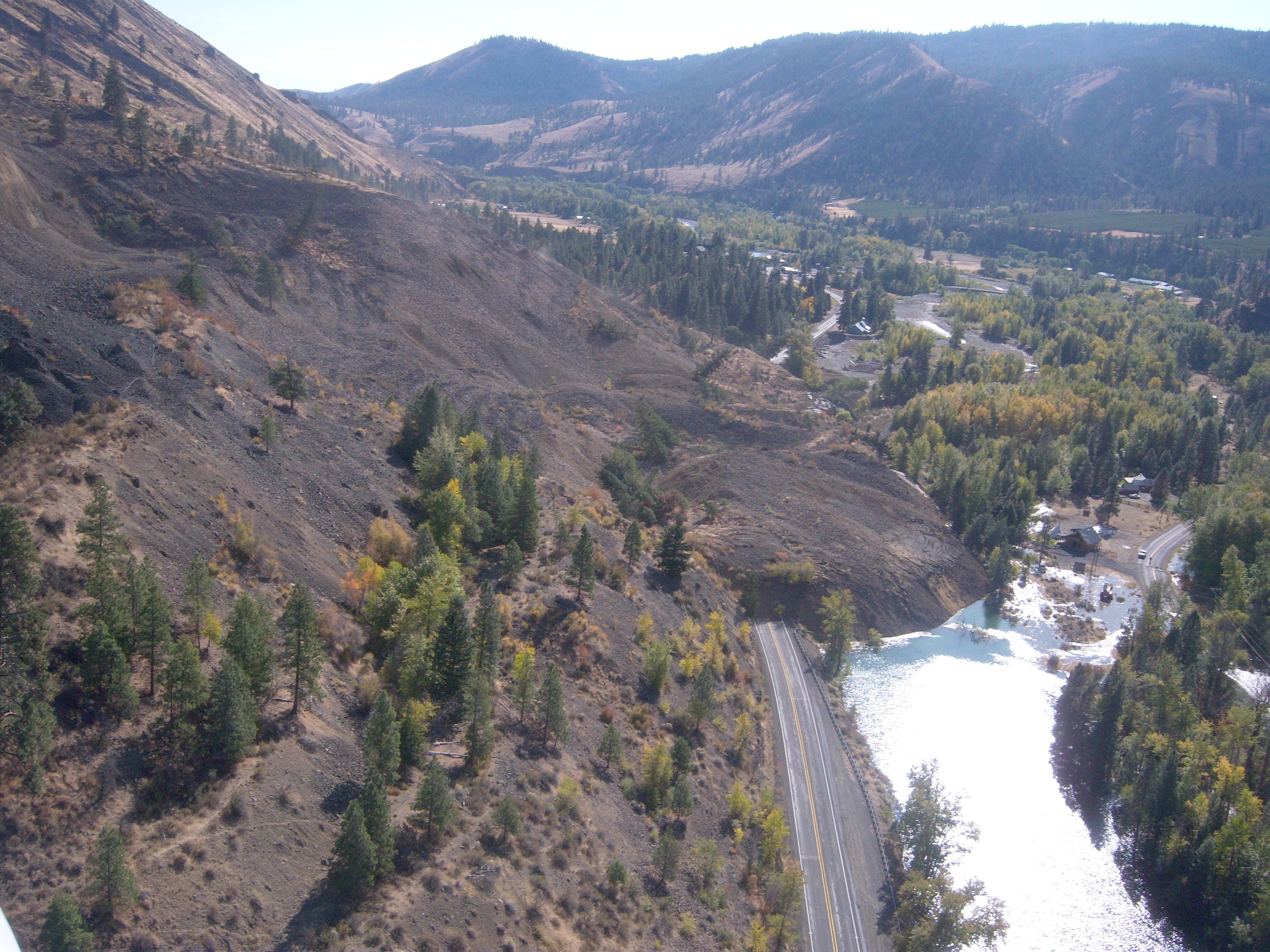
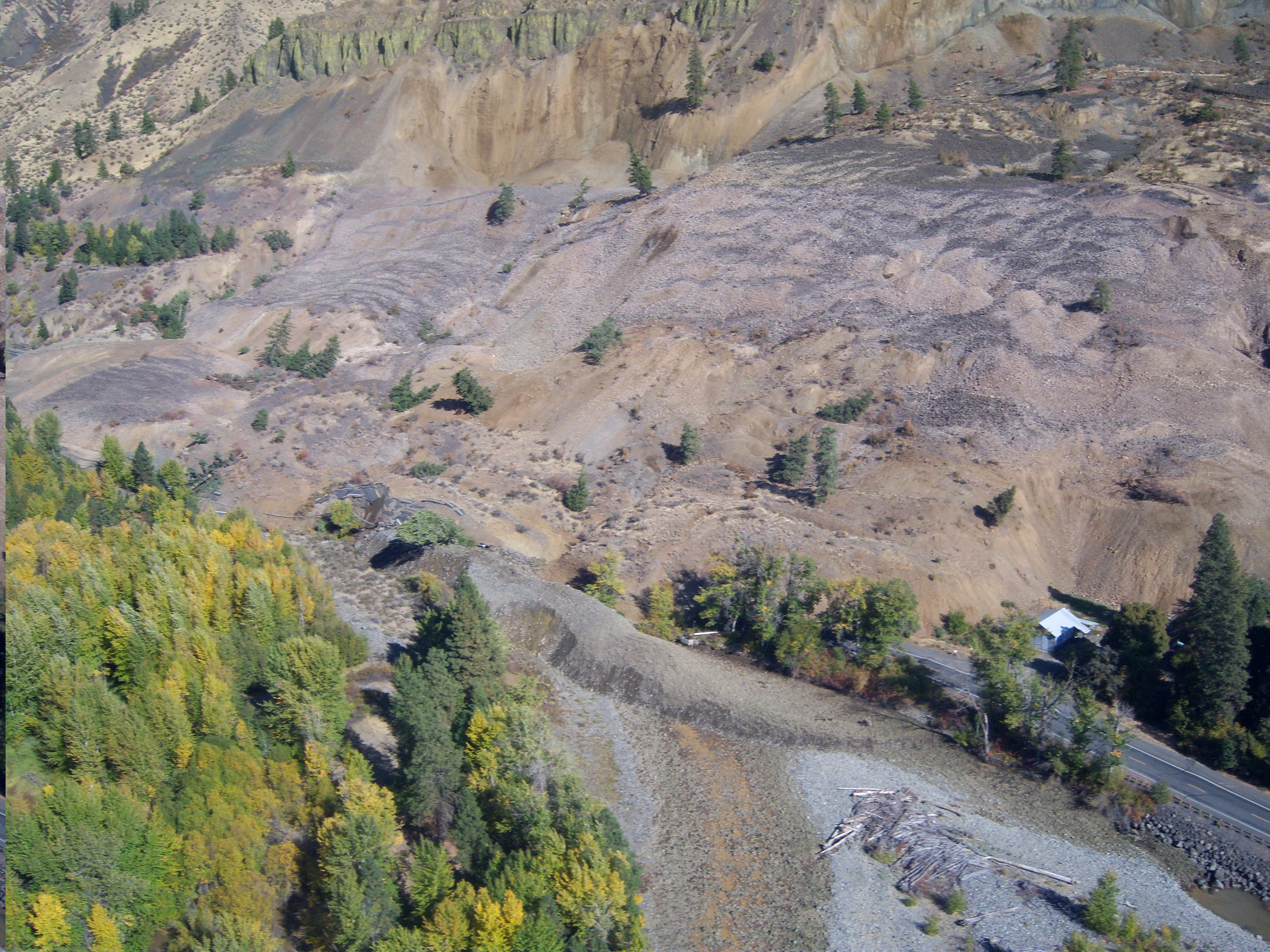
SR 410 Nile Valley Landslide (west of Naches)
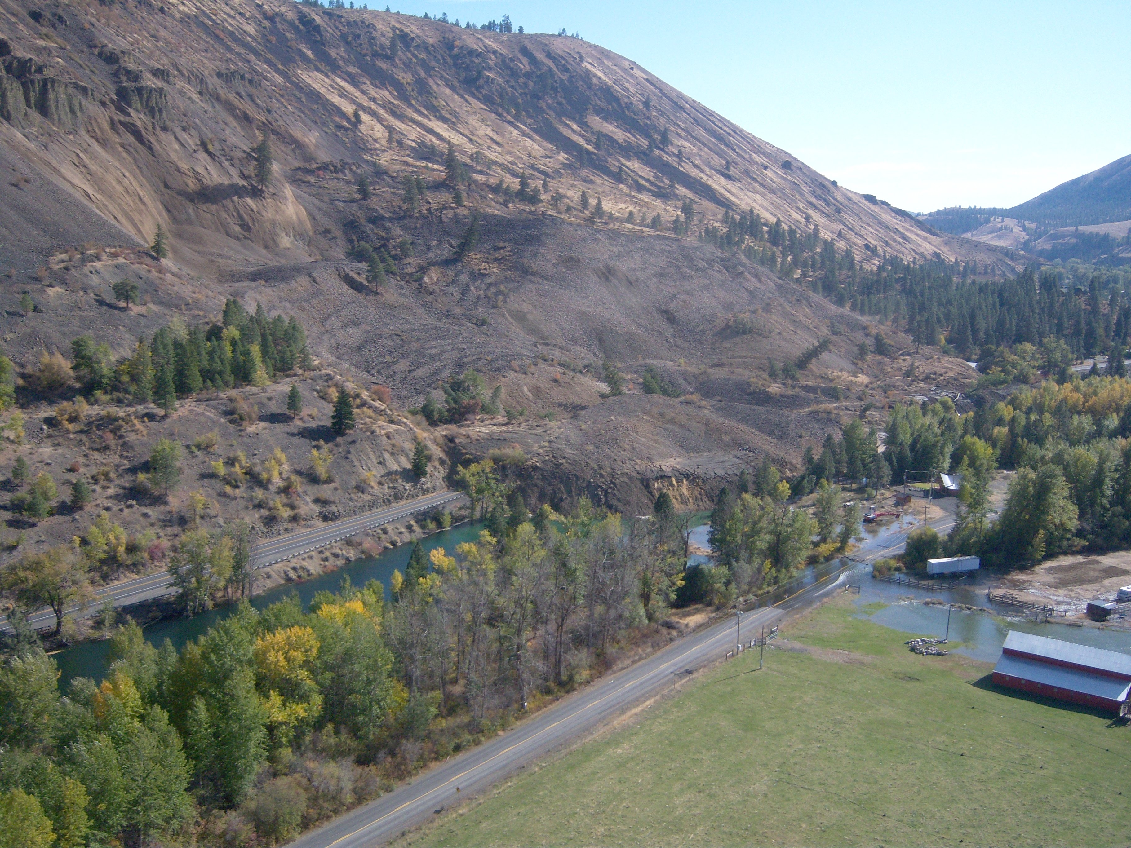
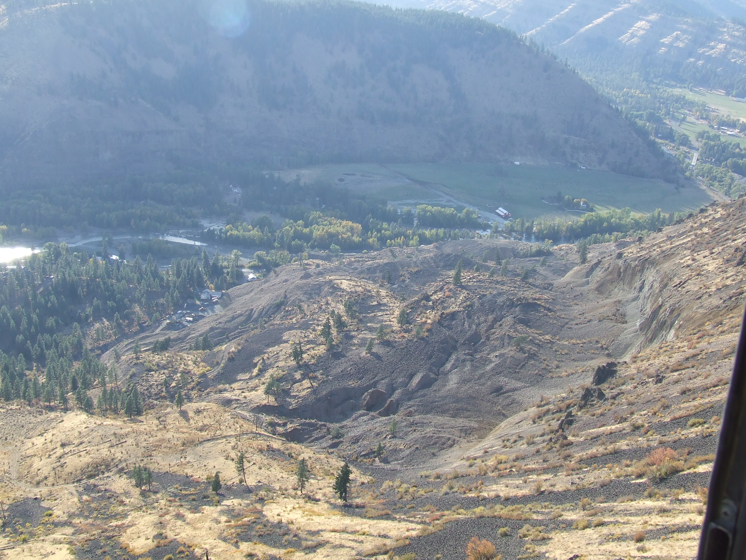
SR 410 Nile Valley Landslide (west of Naches)

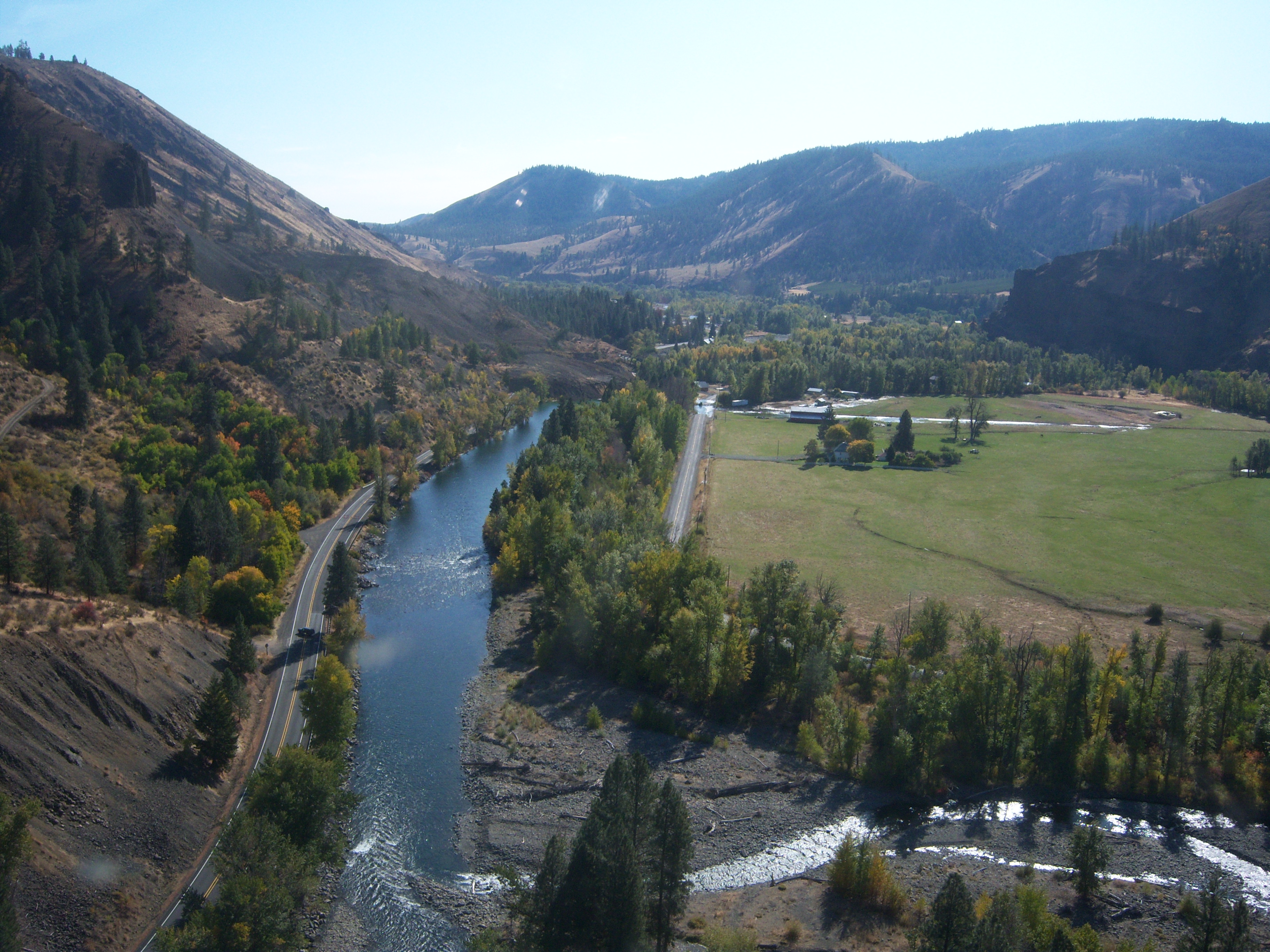
SR 410 Nile Valley Landslide (west of Naches)
SR 410 Nile Valley Landslide (west of Naches)
SR 410 Nile Valley Landslide (west of Naches)
SR 410 Nile Valley Landslide (west of Naches)
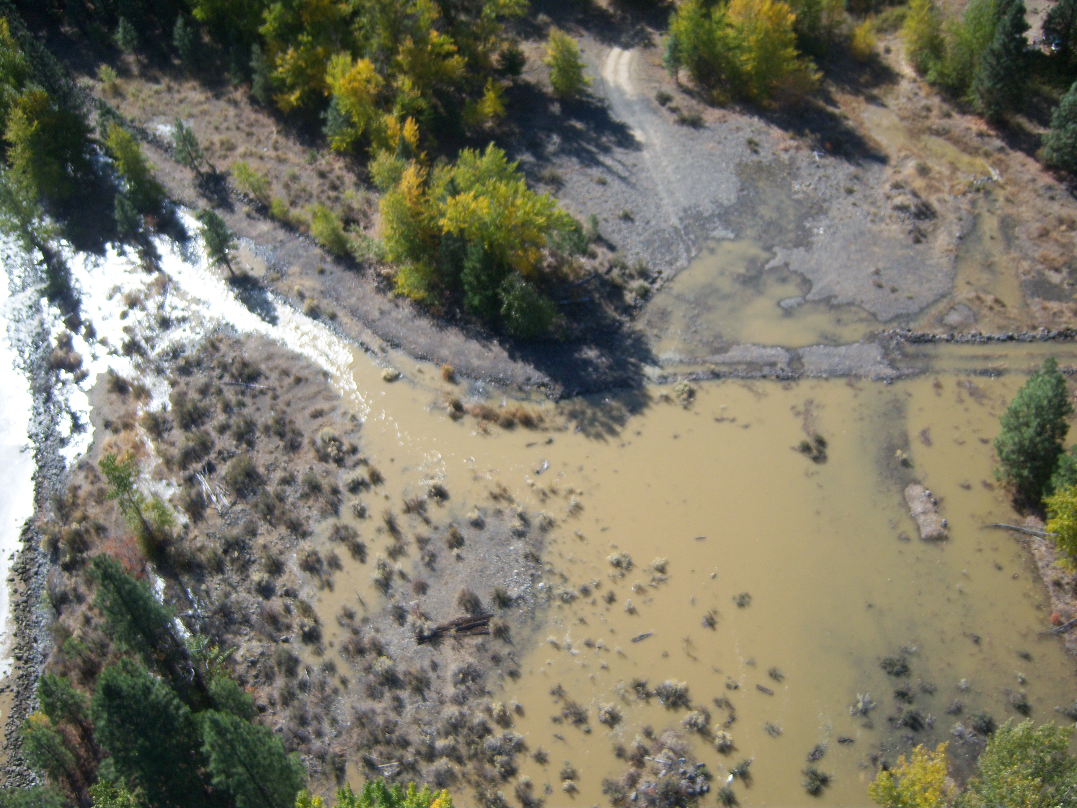
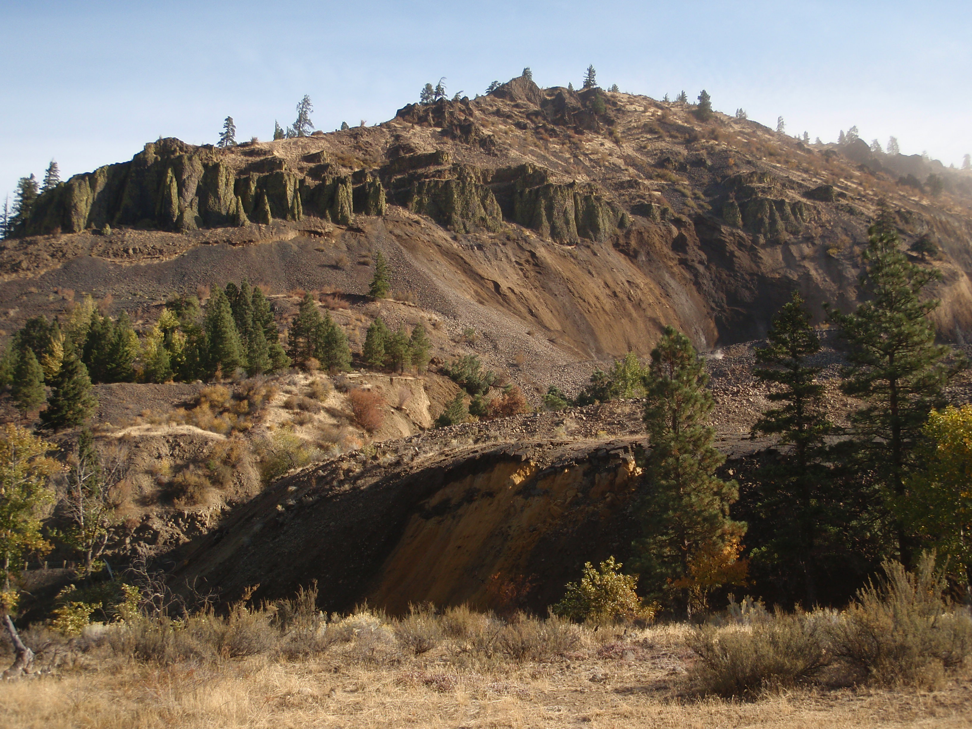
Nile Landslide Northeast View
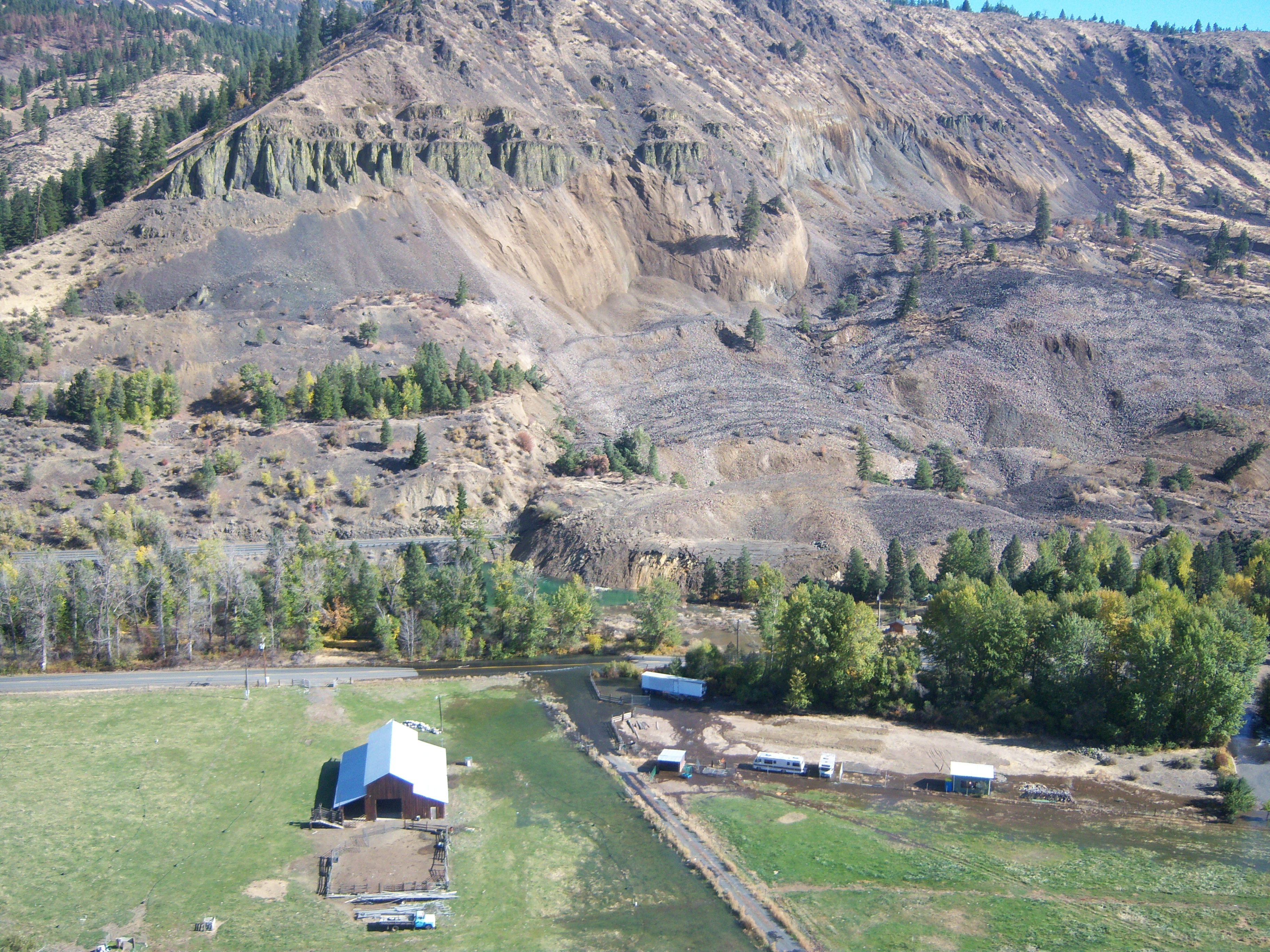
SR 410 Nile Valley Landslide - Oct. 2009
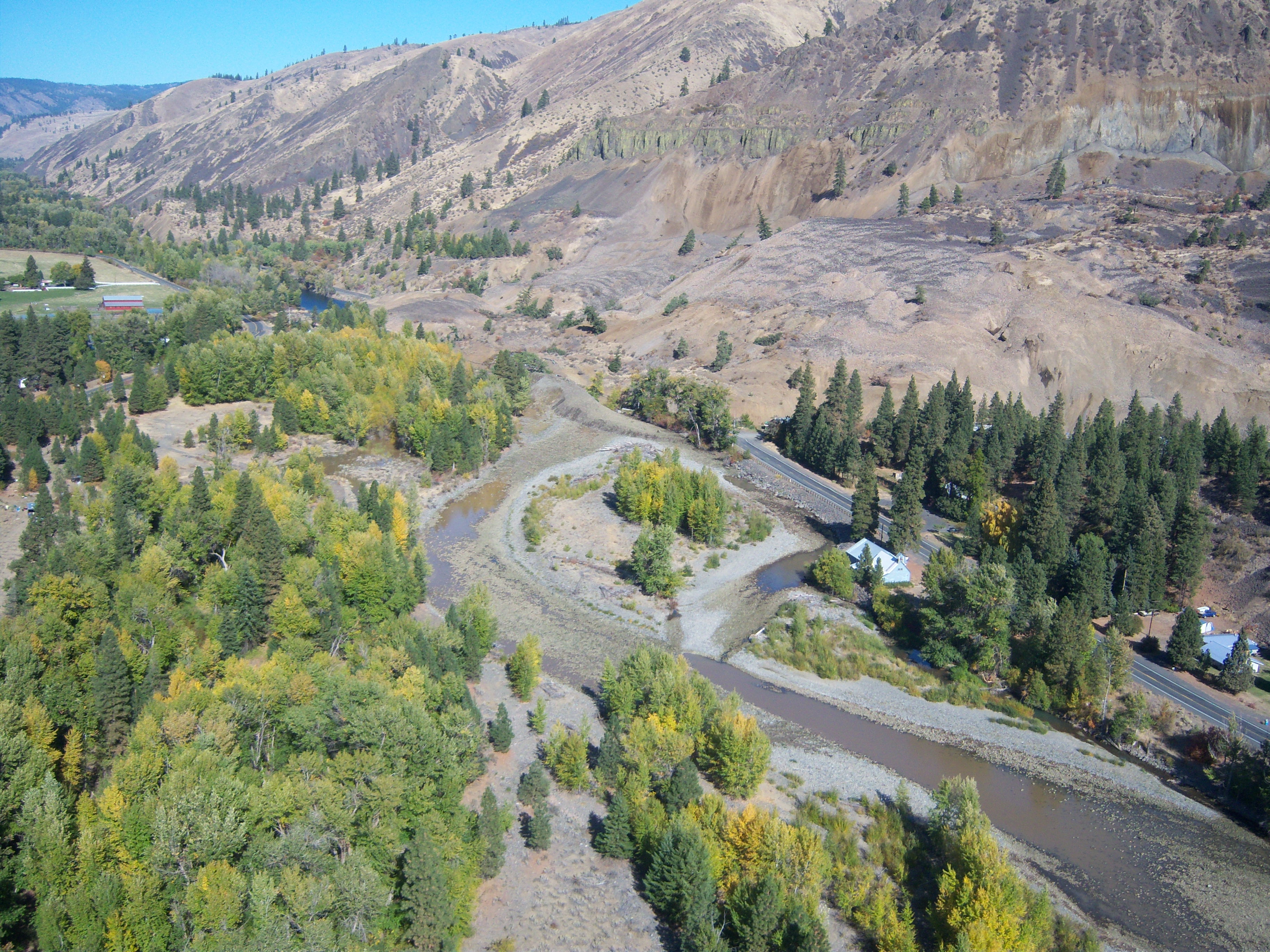
SR 410 Nile Valley Landslide - Oct. 2009

SR 410 Nile Valley Landslide - Oct. 2009

SR 410 Nile Valley Landslide - Oct. 2009
SR 410 Nile Valley Landslide (west of Naches)
SR 410 Nile Valley Landslide (west of Naches)
SR 410 Nile Valley Landslide (west of Naches)
SR 410 Nile Valley Landslide (west of Naches)
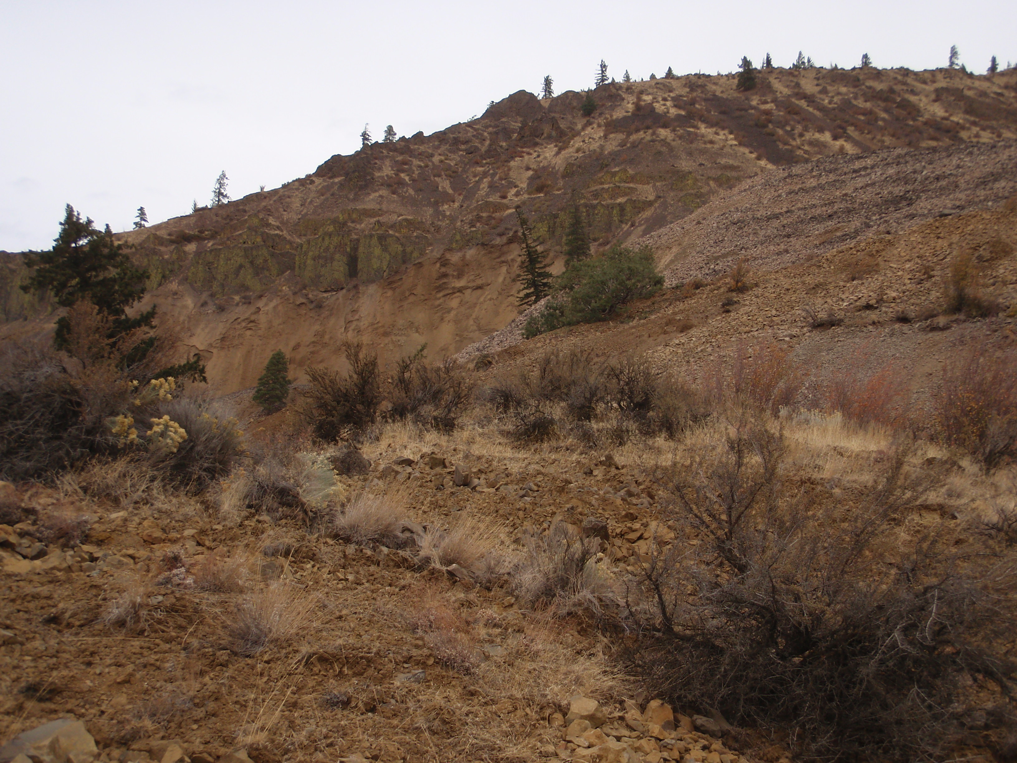
SR 410 Landslide
SR 410 Nile Valley Landslide (west of Naches)
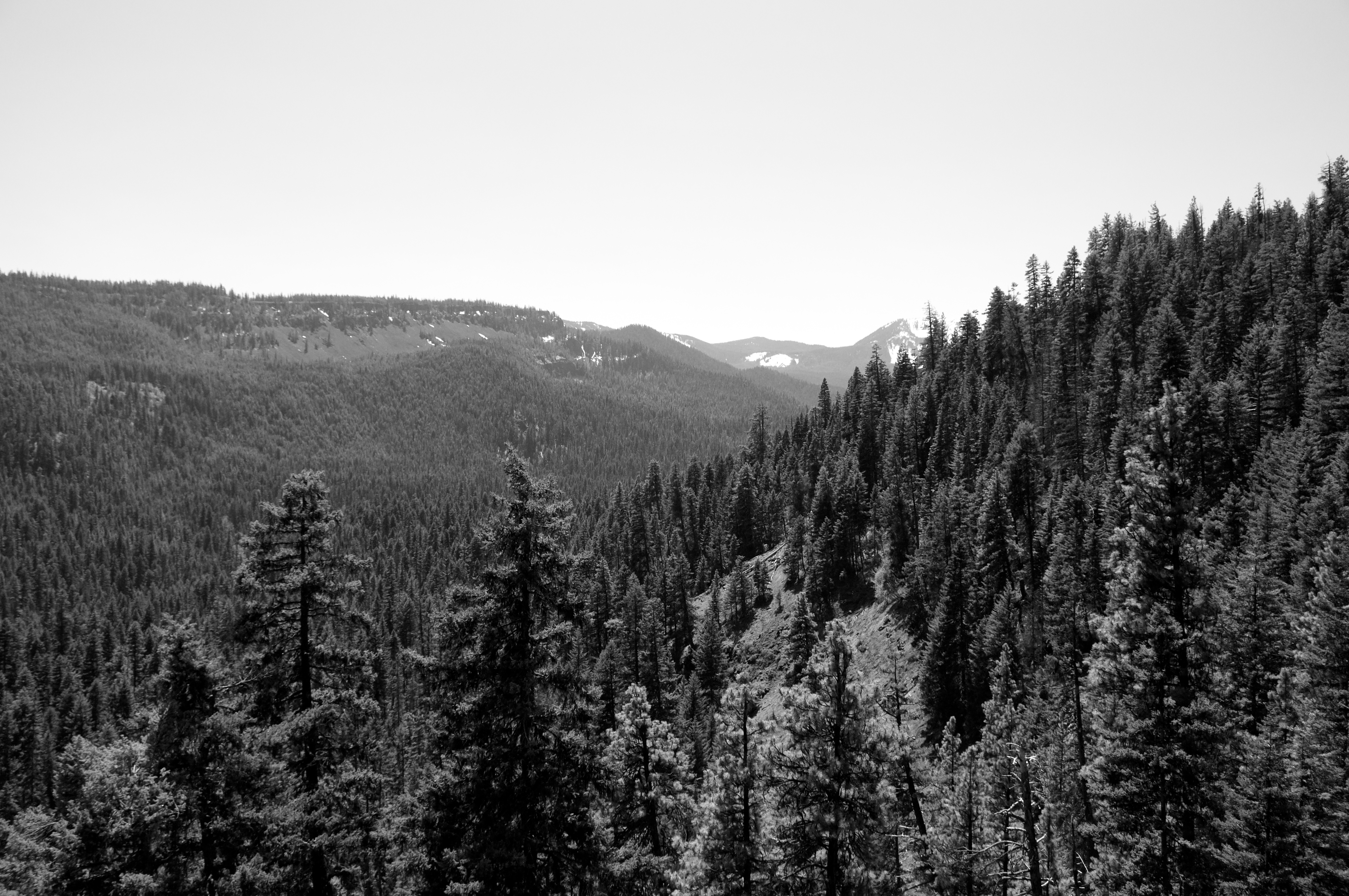
A Wonderfully Expansive View of Western Washington
SR 410 Nile Valley Landslide (west of Naches)
Cottonwood Campground, Naches, WA, USA Karte
Suchen Sie einen anderen Ort
Nahe Plätze
WA-, Naches, WA, USA
American River, WA, USA
Old Scab Mountain, Washington, USA
Goose Prairie, Washington, USA
Mohar Rd, Cle Elum, WA, USA
Fifes Ridge East, Washington, USA
Marie Rd, Cle Elum, WA, USA
Golf Course Rd, Cle Elum, WA, USA
South Cle Elum, WA, USA
Nelson Siding Rd, Cle Elum, WA, USA
Rimrock Lake, Washington, USA
Cle Elum, WA, USA
Heron Dr, Cle Elum, WA, USA
Wapiti Dr, Cle Elum, WA, USA
Fifes Peaks West, Washington, USA
S 7th St, Cle Elum, WA, USA
Roslyn, WA, USA
Fifes Ridge West, Washington, USA
Ronald, WA, USA
Shady Glen Dr, Easton, WA, USA
Letzte Suche
- Red Dog Mine, AK, USA Sonnenaufgang Sonnenuntergang Zeiten
- Am Bahnhof, Am bhf, Borken, Germany Sonnenaufgang Sonnenuntergang Zeiten
- 4th St E, Sonoma, CA, USA Sonnenaufgang Sonnenuntergang Zeiten
- Oakland Ave, Williamsport, PA, USA Sonnenaufgang Sonnenuntergang Zeiten
- Via Roma, Pieranica CR, Italien Sonnenaufgang Sonnenuntergang Zeiten
- Glockenturm, Grad, Dubrovnik, Kroatien Sonnenaufgang Sonnenuntergang Zeiten
- Trelew, Chubut Province, Argentina Sonnenaufgang Sonnenuntergang Zeiten
- Hartfords Bluff Cir, Mt Pleasant, SC, USA Sonnenaufgang Sonnenuntergang Zeiten
- Kita-ku, Kumamoto, Präfektur Kumamoto, Japan Sonnenaufgang Sonnenuntergang Zeiten
- Pingtan Island, Pingtan County, Fuzhou, China Sonnenaufgang Sonnenuntergang Zeiten